
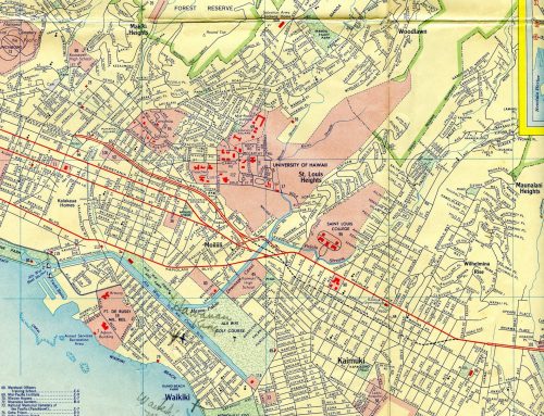
Now for some 2009 photos, here is dang near every highway in Maui… the only road I did not manage to take is the Pi’ilani highway across the southern part of the island, because it had been washed out!

As far as I know, this is the only cutout on Maui.
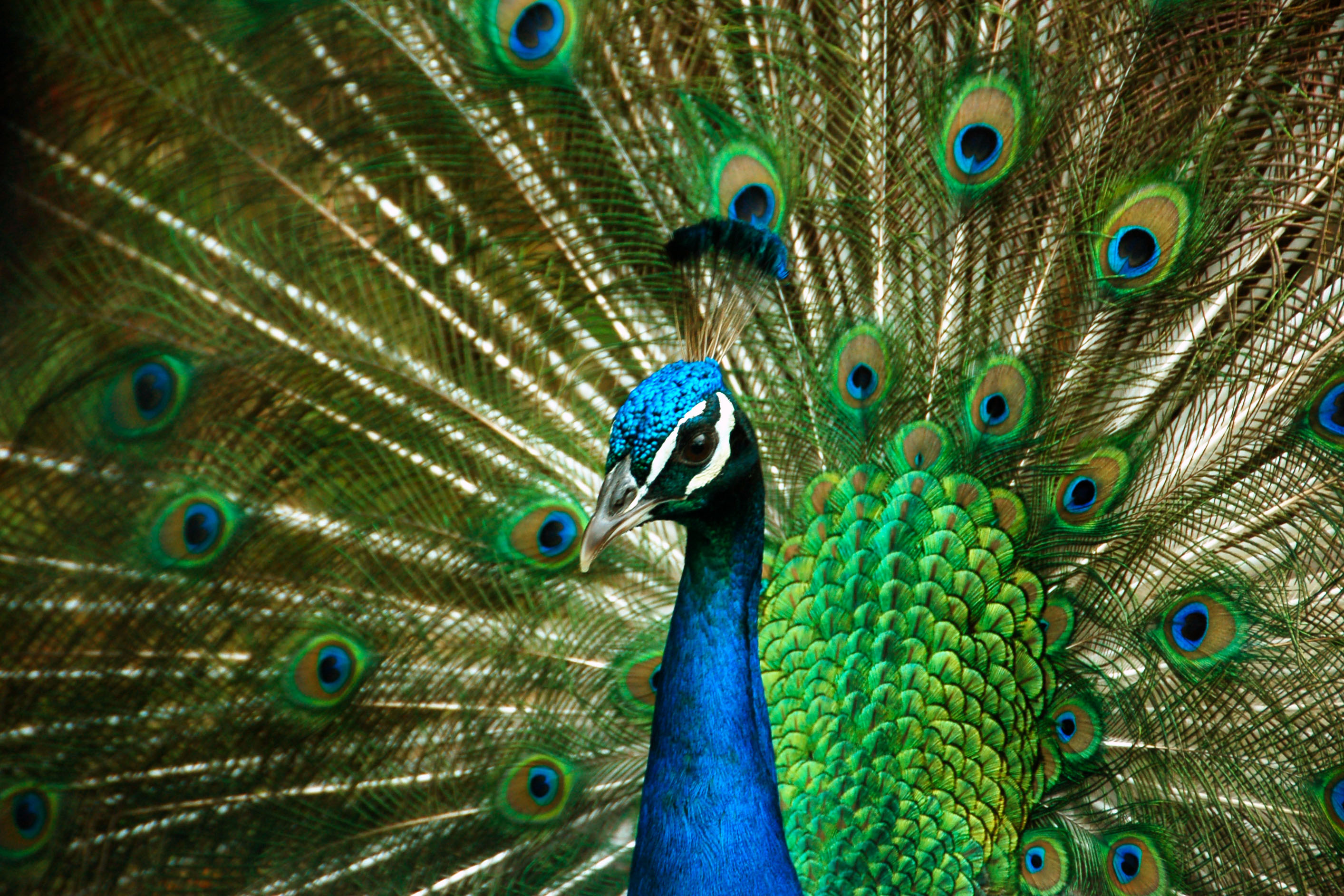
Maui – the land of random peacocks.
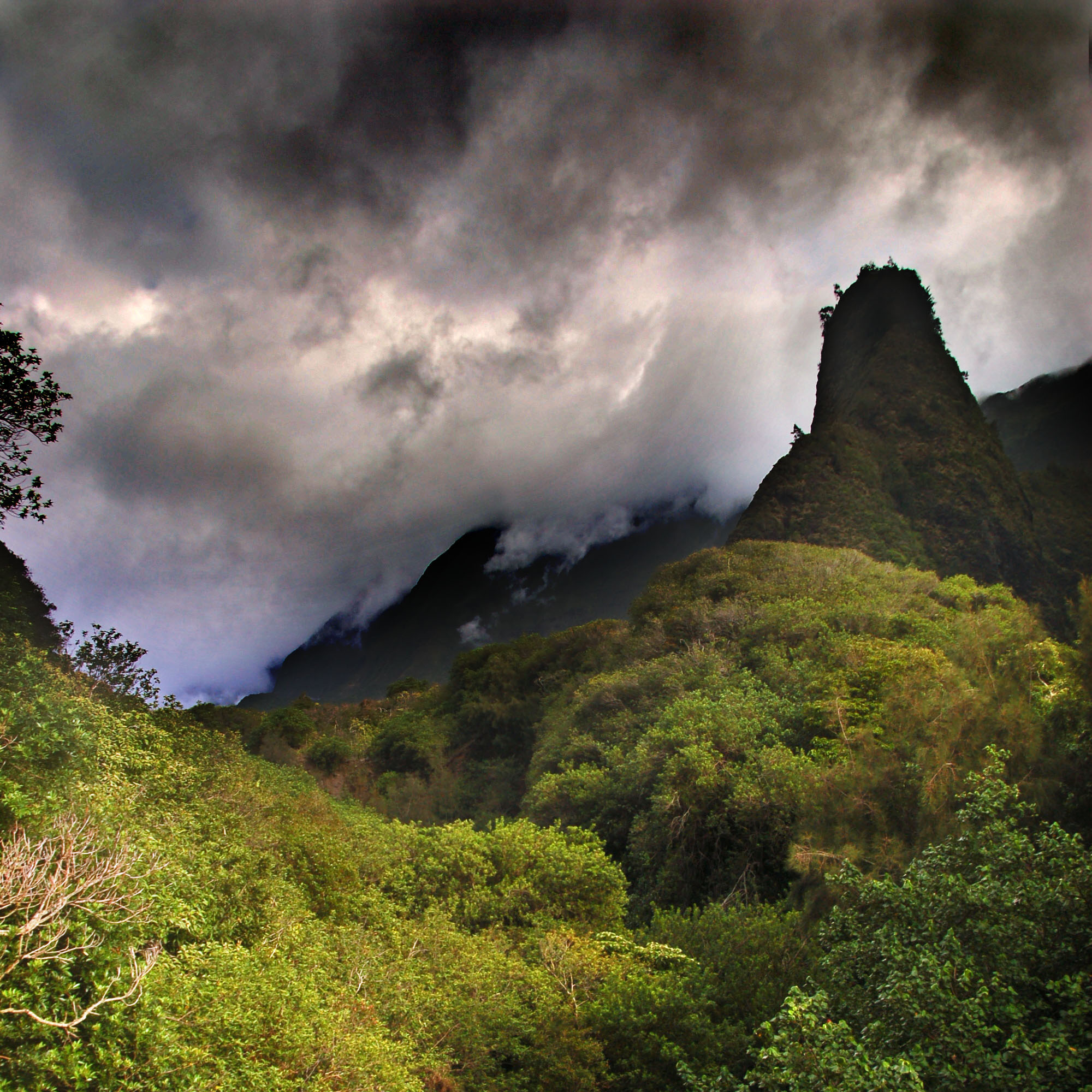
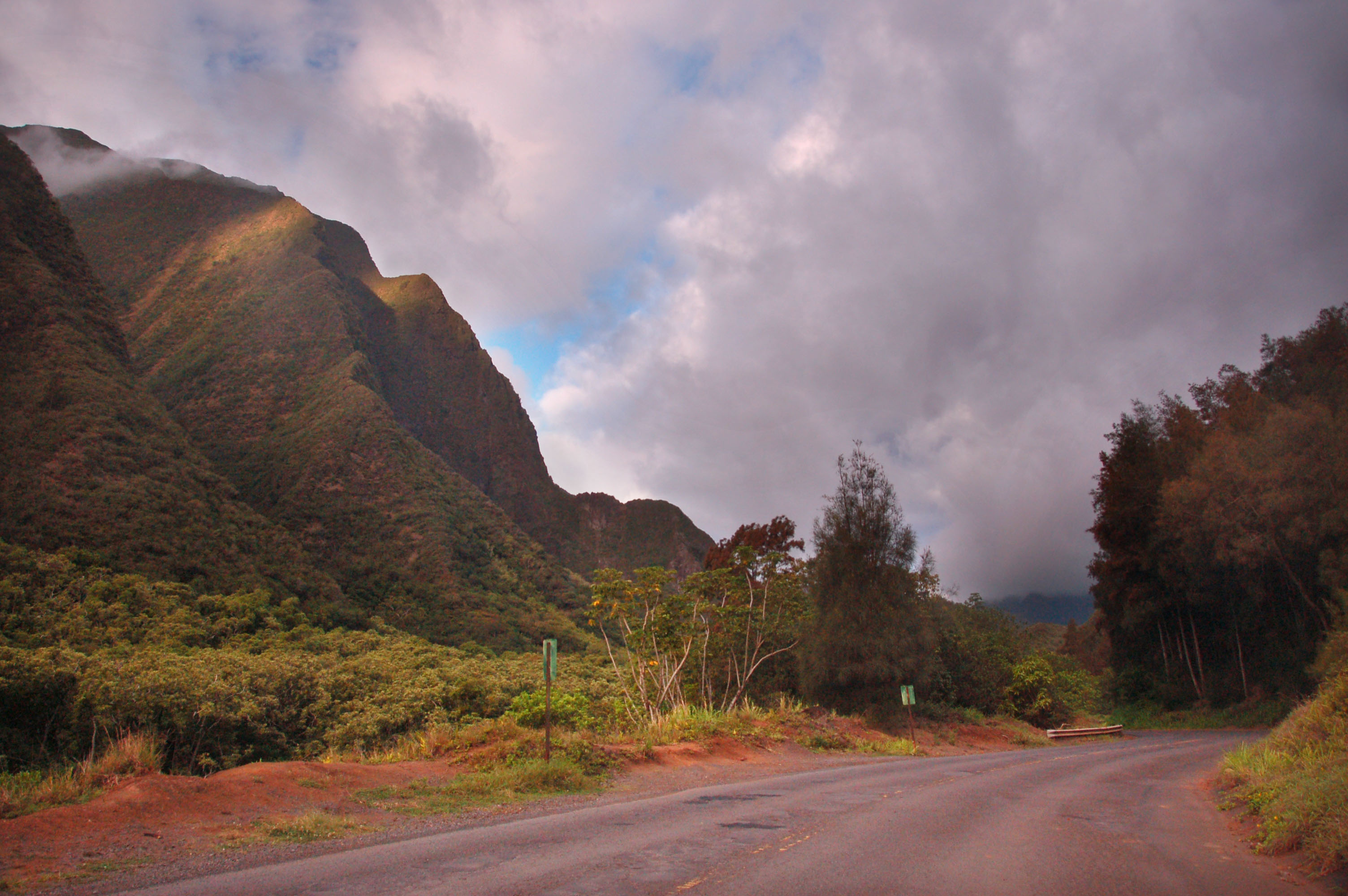
The ‘Iao Valley, as seen in Jurassic Park. Notable for the ‘Iao Needle.

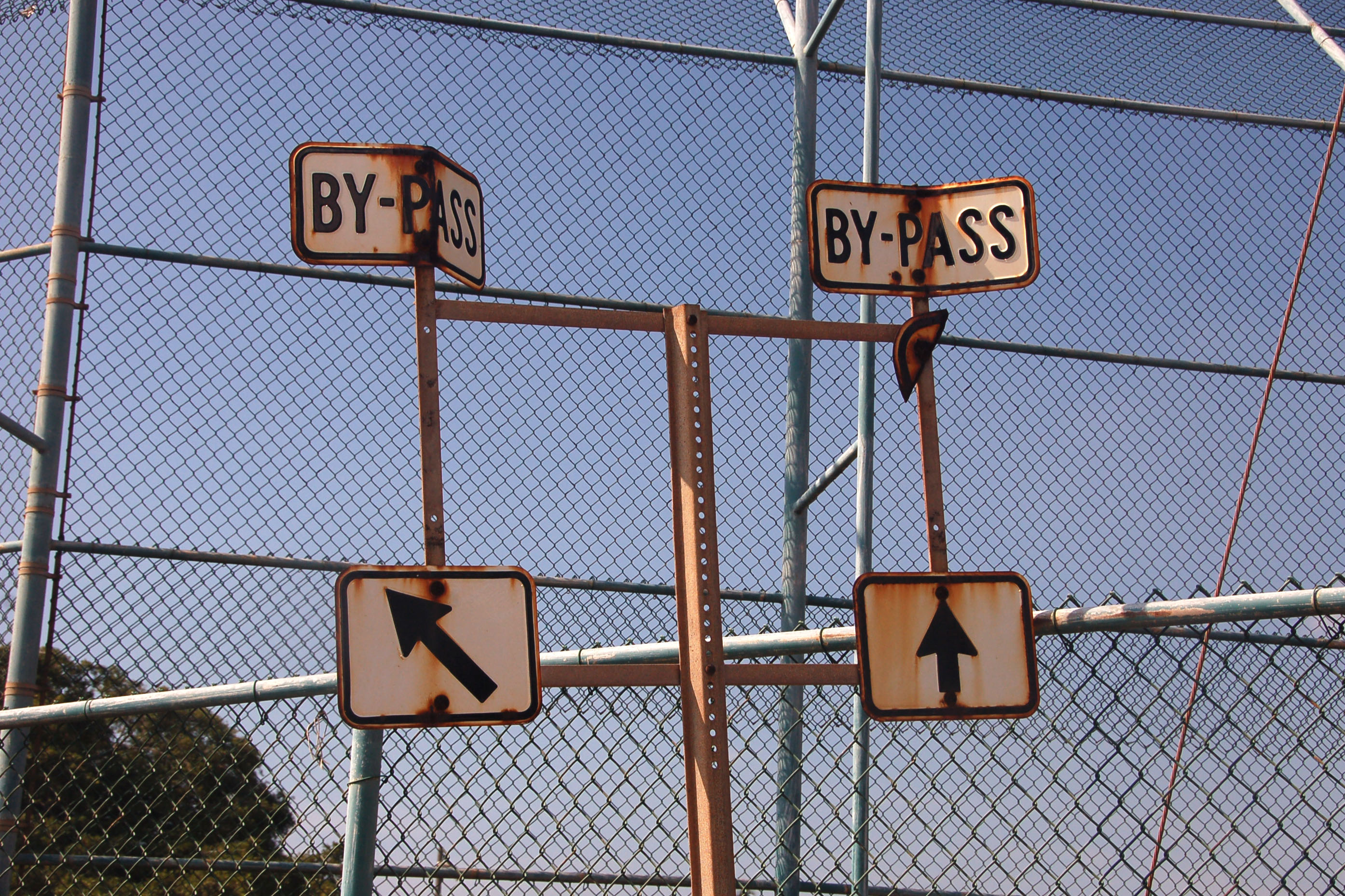
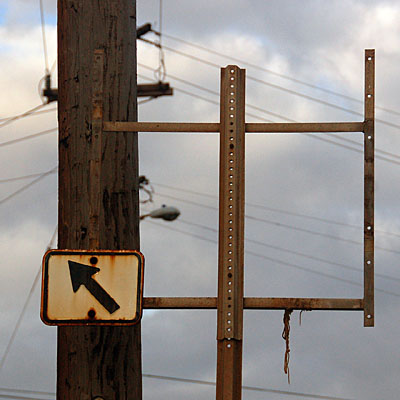
Uh oh, no shield. The BY-PASS banner and arrow date back to the 1960s, and at some point this gantry held a cutout route 33 marker. Alas, long gone.

The Kahekili Highway is route 34… well, it is now county route 340, as Hawaii likes to add a zero to a route that has been realigned. 3400 going the other way is – you guessed it – the old, old alignment. County routes get the same shield as state routes.

The 34 cutout, with a bit of context.

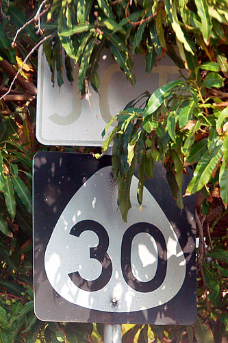
At some point, the road turns civilized again, and becomes state highway 30.

As far as I know, this intersection is the only place in all of Hawaii where three routes are signed on the same gantry.

In the opposite direction is the corresponding BEGIN marker.
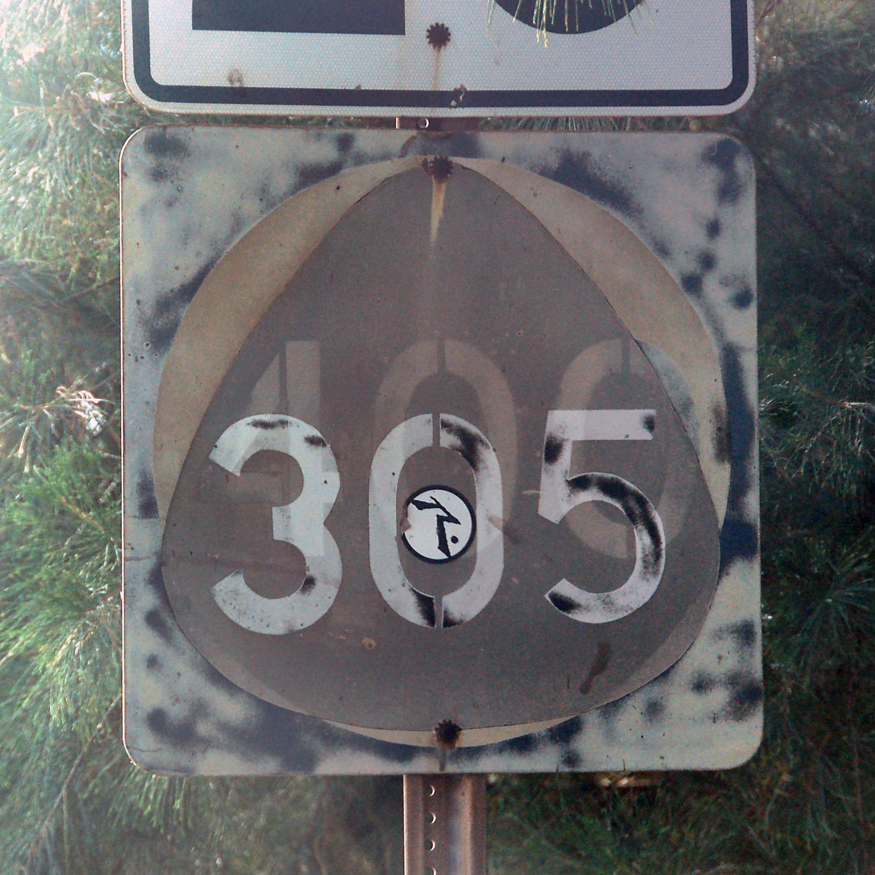
What do we have here? A recycled “400” shield, used to make a “305”. The 400 is a very unusual blue and white circle that was only used for a few years around 1973. The feds attempted all states to switch to the Boring Circle – Hawaii complied for a bit, but at least kept a unique color.
The other oddity to this marker is that highway 400 is on Molokai. Different island!
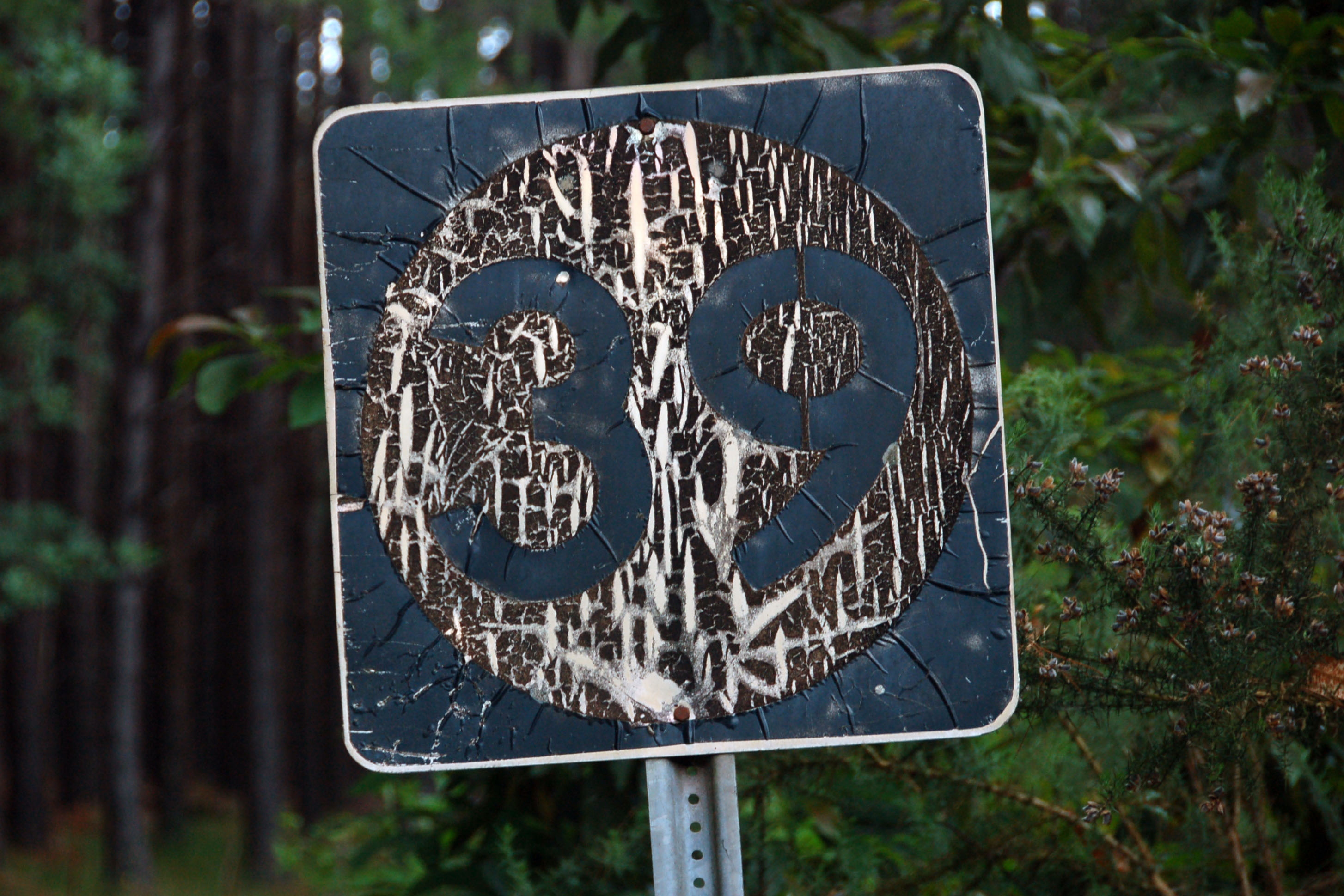
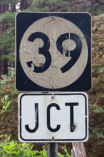
The shields with the larger numbers are older than the ones with the smaller numbers. They date back to the mid-1970s, and were placed just after the cutouts stopped being used.

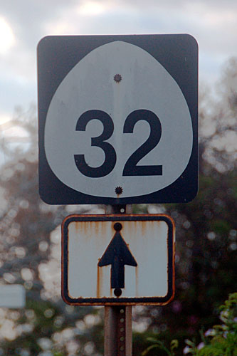
On occasion, county routes use this odd font. This was, at one point, state route 32, and it goes to ‘Iao Valley.
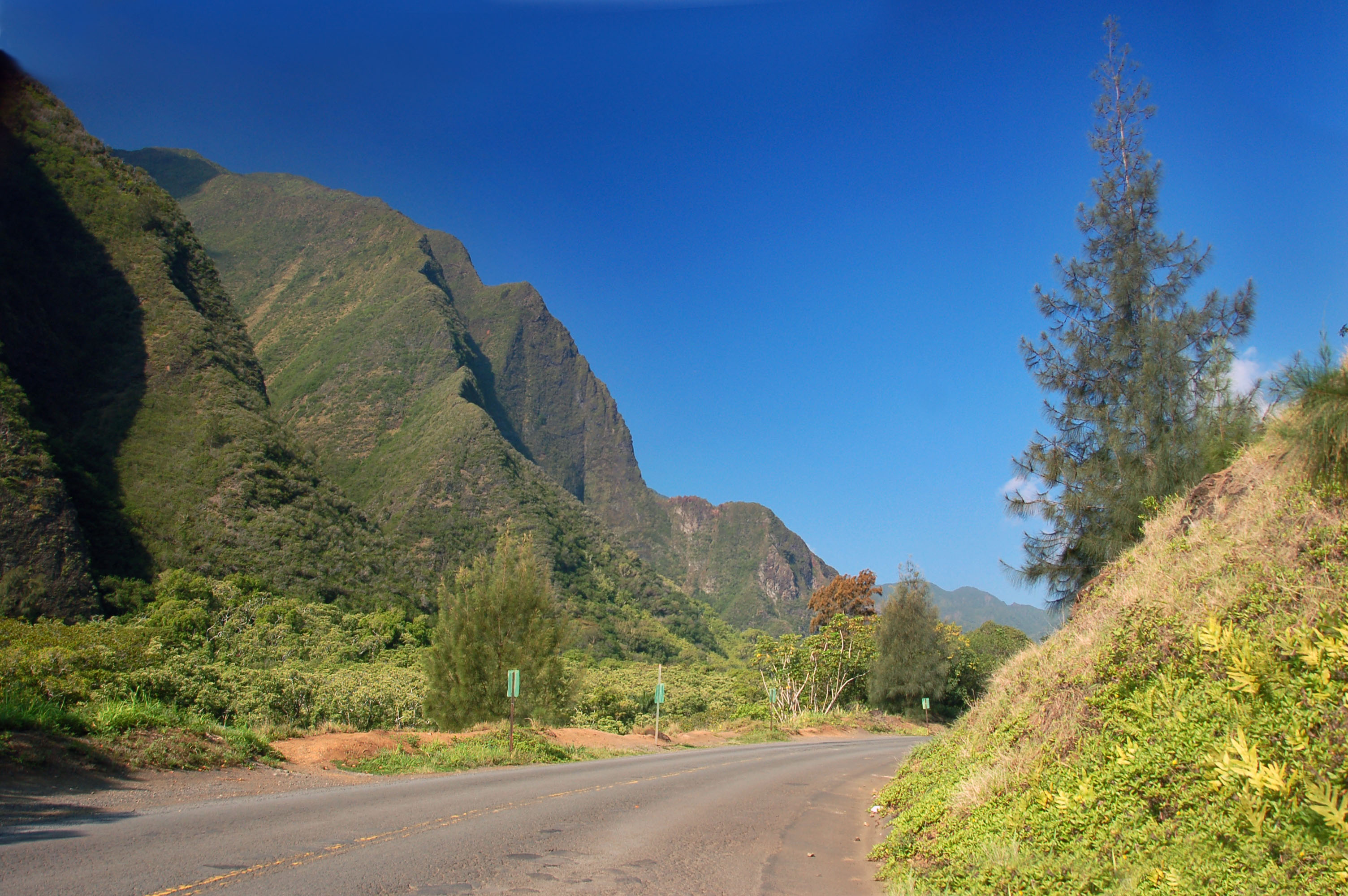
The road to ‘Iao Valley.
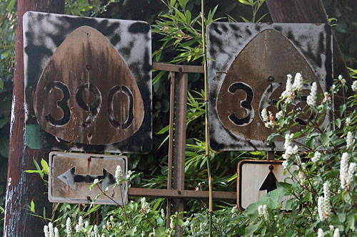
Another case of missing cutouts. This was supposed to be routes 32 and 33.

Heading east on highway 36.

Various wildflowers by the side of 36.
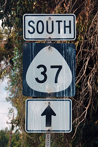
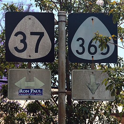
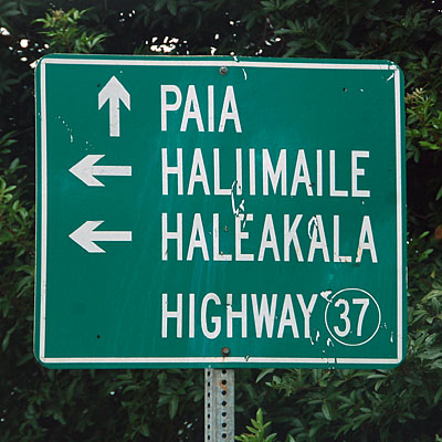
Here, we turn off the Hana highway and head inland on route 37.
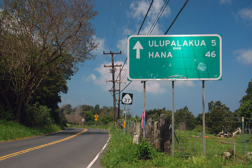
This road also leads to Hana. It becomes route 31, the Pi’ilani Highway, around the southern part of the island.
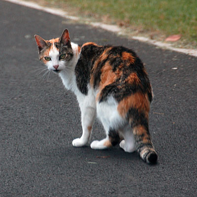
“What are you looking at??”
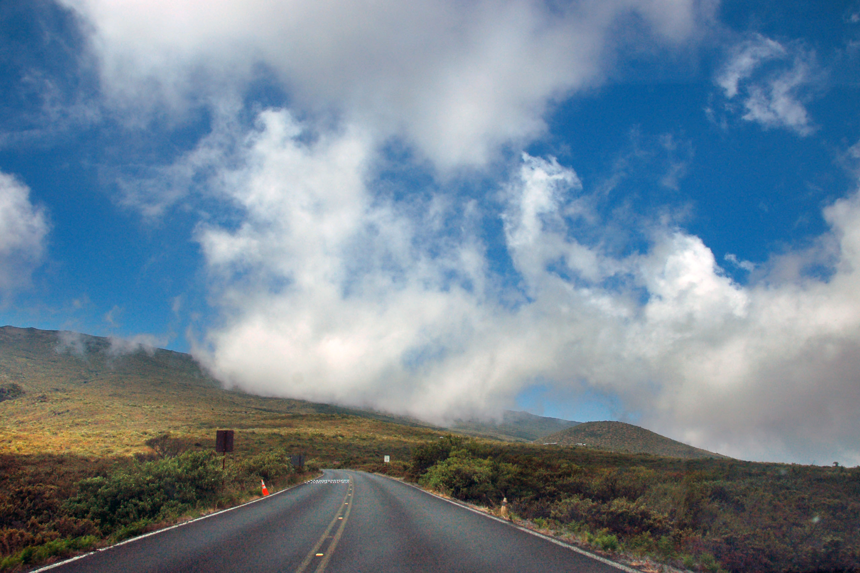
The road up to Haleakala Summit. Haleakala Volcano is the highest point on Maui, and there is a road that goes all the way up to the top.
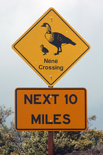
Make way for ducks.

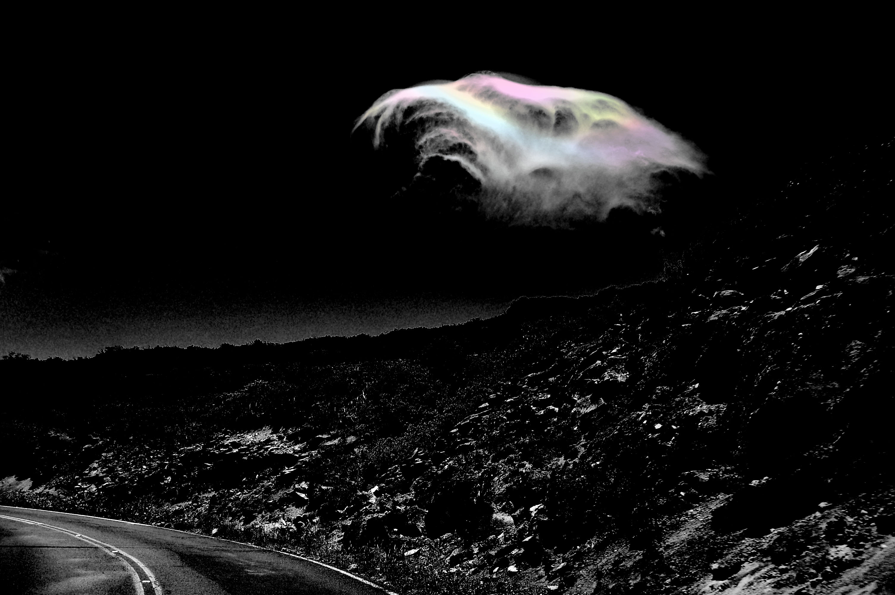
Once we get past the low-lying clouds, we encounter this iridescent one.

And another one.
This is what happens when one plays with Photoshop just a bit too much.
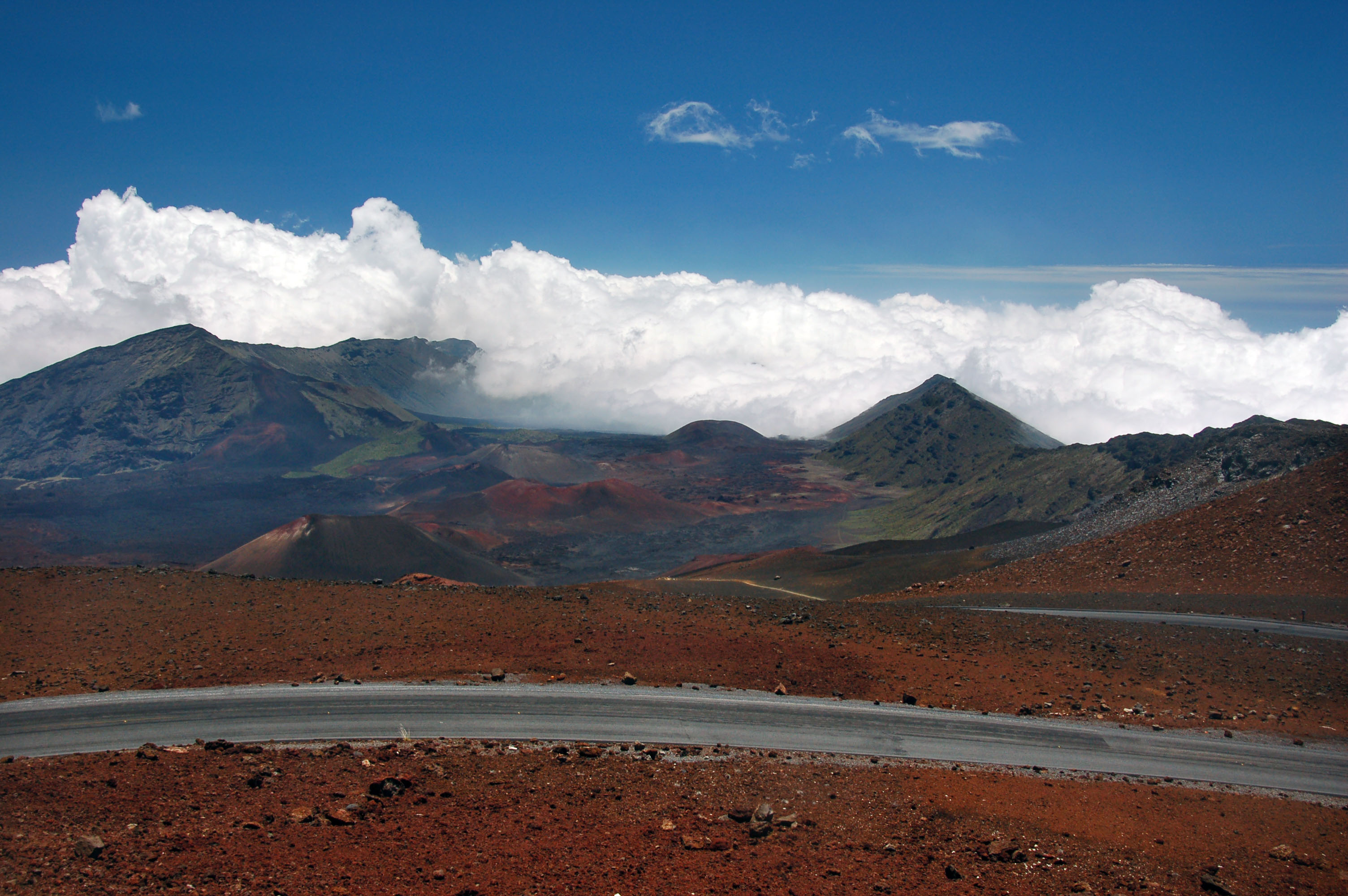
The view from 11000 feet, looking southeast.
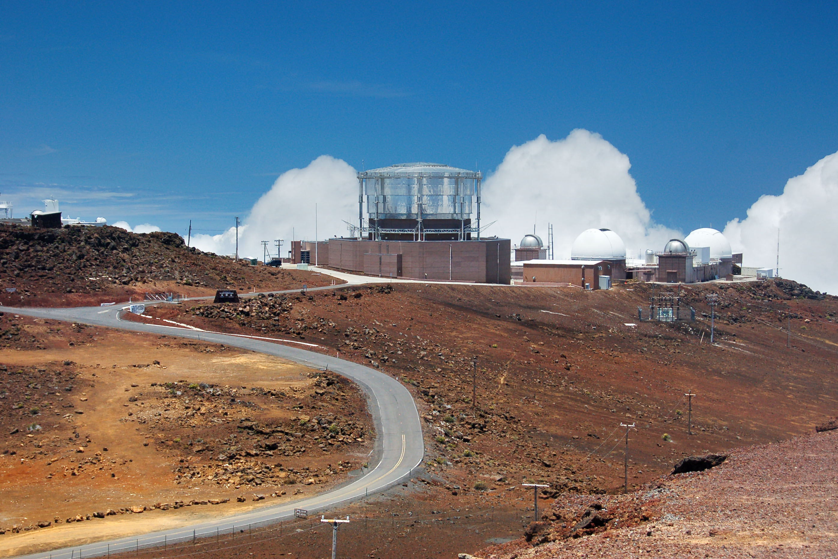
The observatory complex.

A very old 37 alignment, with a WWII-era bridge.
This old gantry actually refers to an old 37 alignment: the bypass is behind us by several blocks.
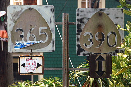
If one looks very carefully at the 365 sign, they will note that it is another shield that is redone over a 400 circle. Also note the old embossed arrow.
Another old pair at the same intersection.
One of two circle shields left. This one is dark blue.
And here is the other one. This one is black.
Here is where the Hana Highway gets demoted from a state route to a county route.
This sign is just barely not old enough to have button copy. It is nonetheless assembled from individual letters, numbers, and border elements, all riveted onto the green background.
This sign is likely much newer than the circle-shield era, but here is a circle shield anyway.

Furious amounts of godbeams.
Button copy is very hard to find on Maui. I only saw about five or six signs.

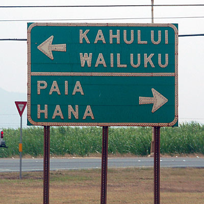
Going down highway 31 past Kihei, which actually is supposed to connect to the highway 31 that is the Pi’ilani highway – but it does not. It used to at some point, and then someone bought the land. So there is no way to go all the way around the south coast of the island, unless one wants to drive through a sugar plantation.
An old bridge on the Hana Highway, which goes around the northeast perimeter of the island.

Make way for … what now?
Here is where the Hana highway ends, and the Pi’ilani highway begins. The long route is 31 to 37, which is the only way to get around the island.
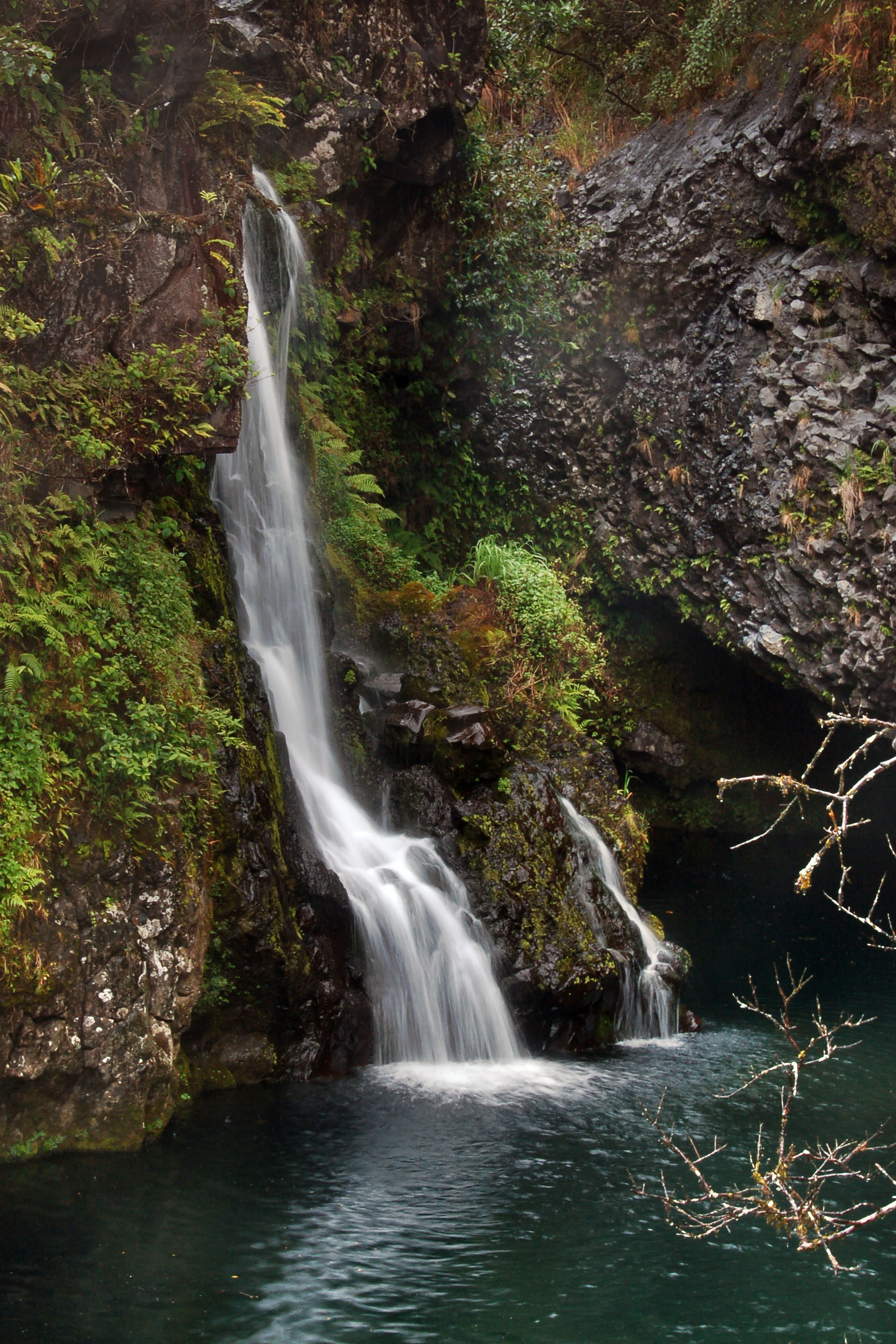
A waterfall along the Hana Highway.
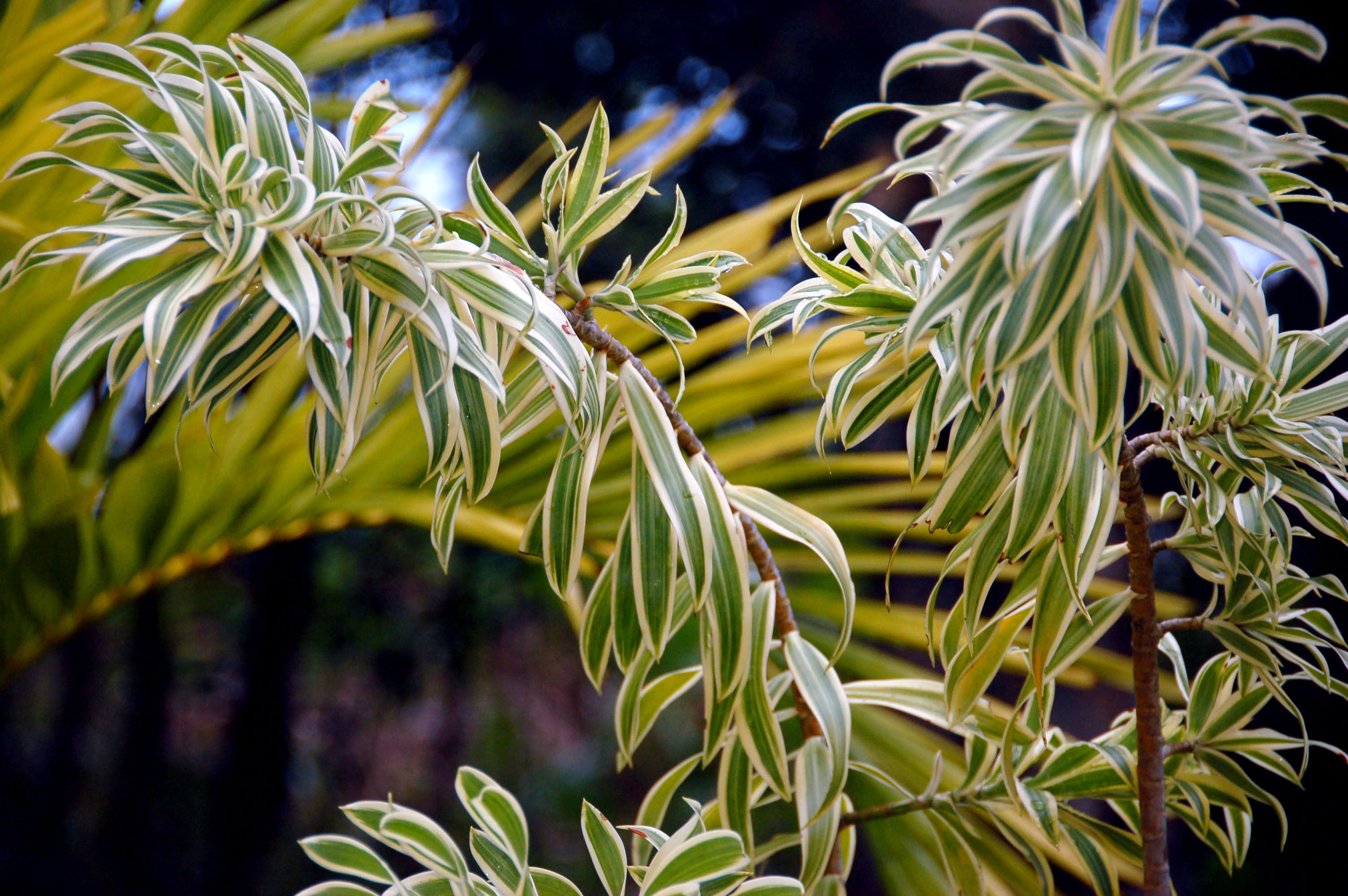
Plant life.
The embossed arrow remains, but the cutout is long gone. It has been replaced by this 16″ shield.
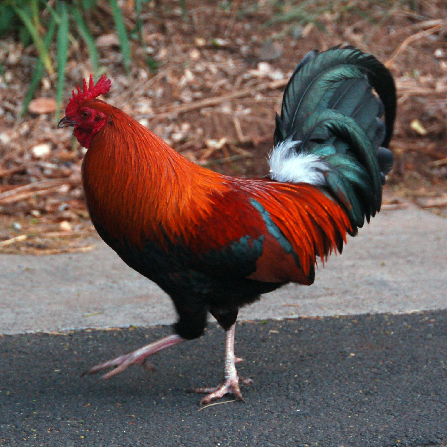
Exotic jungle fowl.
Another by-pass 32/by-pass 33 gantry – except this one is down to precisely one sign that hasn’t been yanked by enterprising sign harvesters.

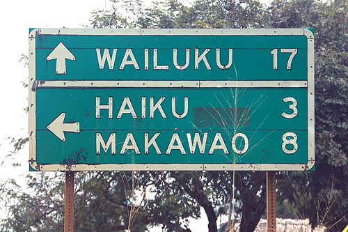
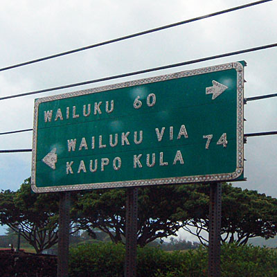
This sign is in downtown Wailuku.
The ‘Iao Valley Road, at sunrise.
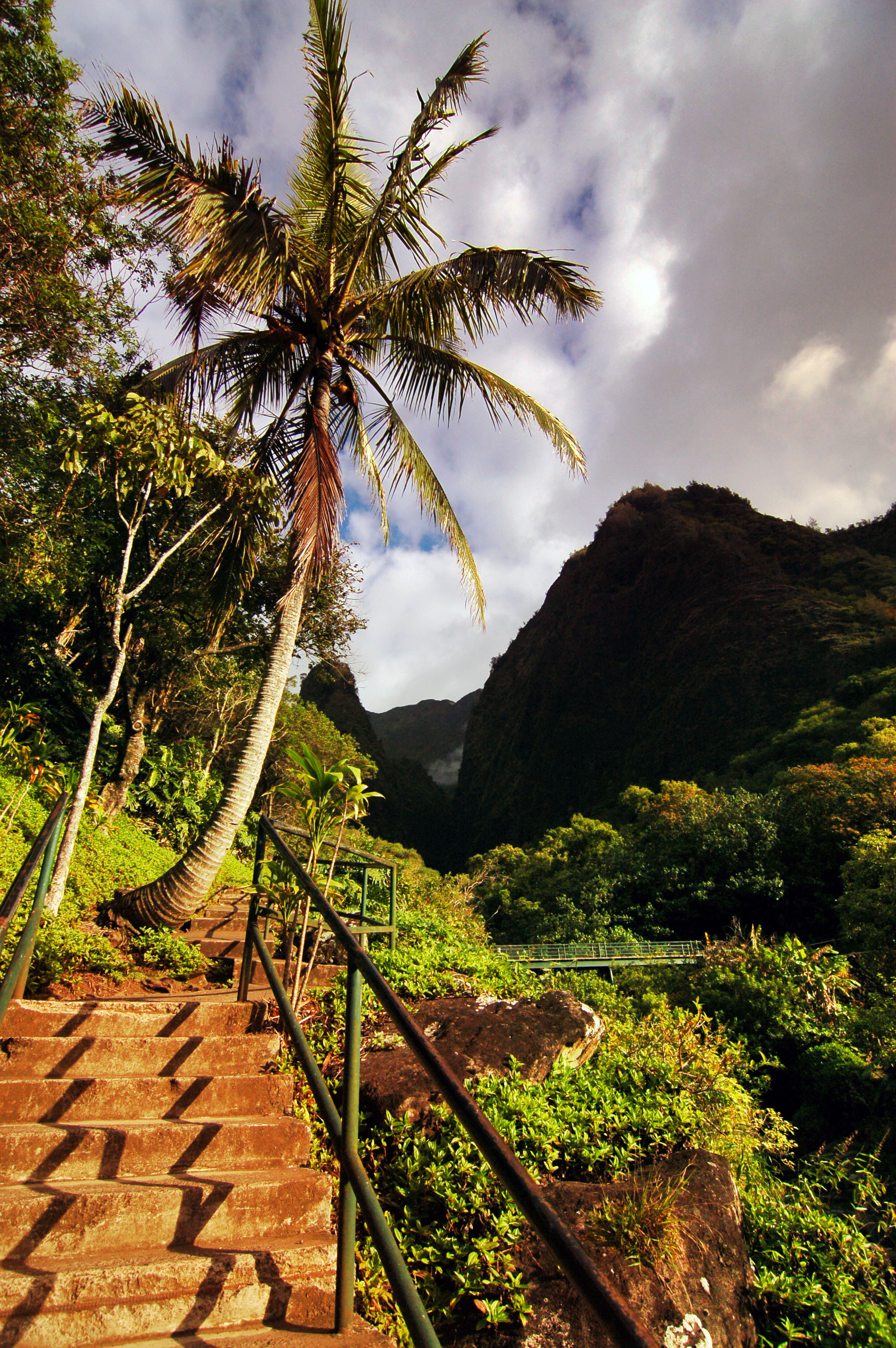
The steps that lead to the ‘Iao Needle viewing point.

A waterfall in the ‘Iao Valley.
That’s all ’til next time!