|
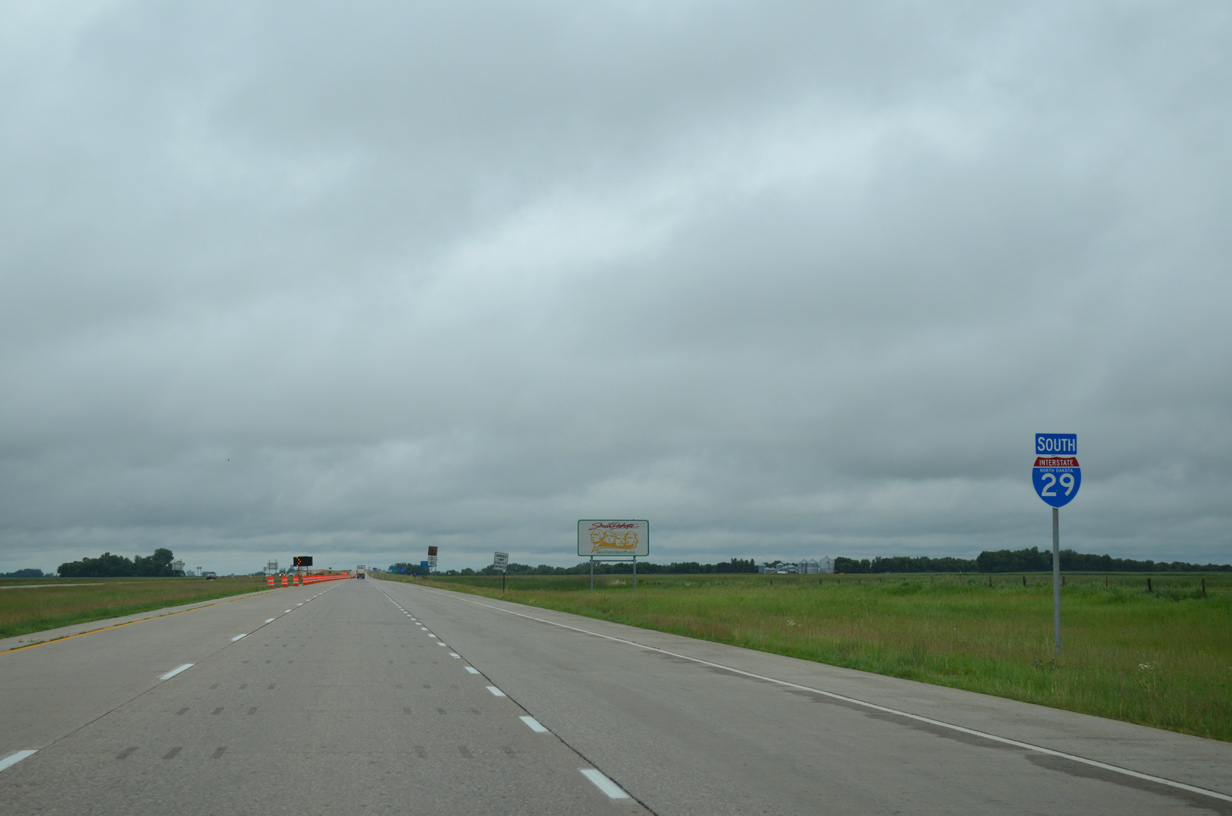
| Travelers enter Roberts County, South Dakota beyond the County Road 1E overpass. An NDDOT installed reassurance marker follows for Interstate 29 south. 06/17/15 |
|
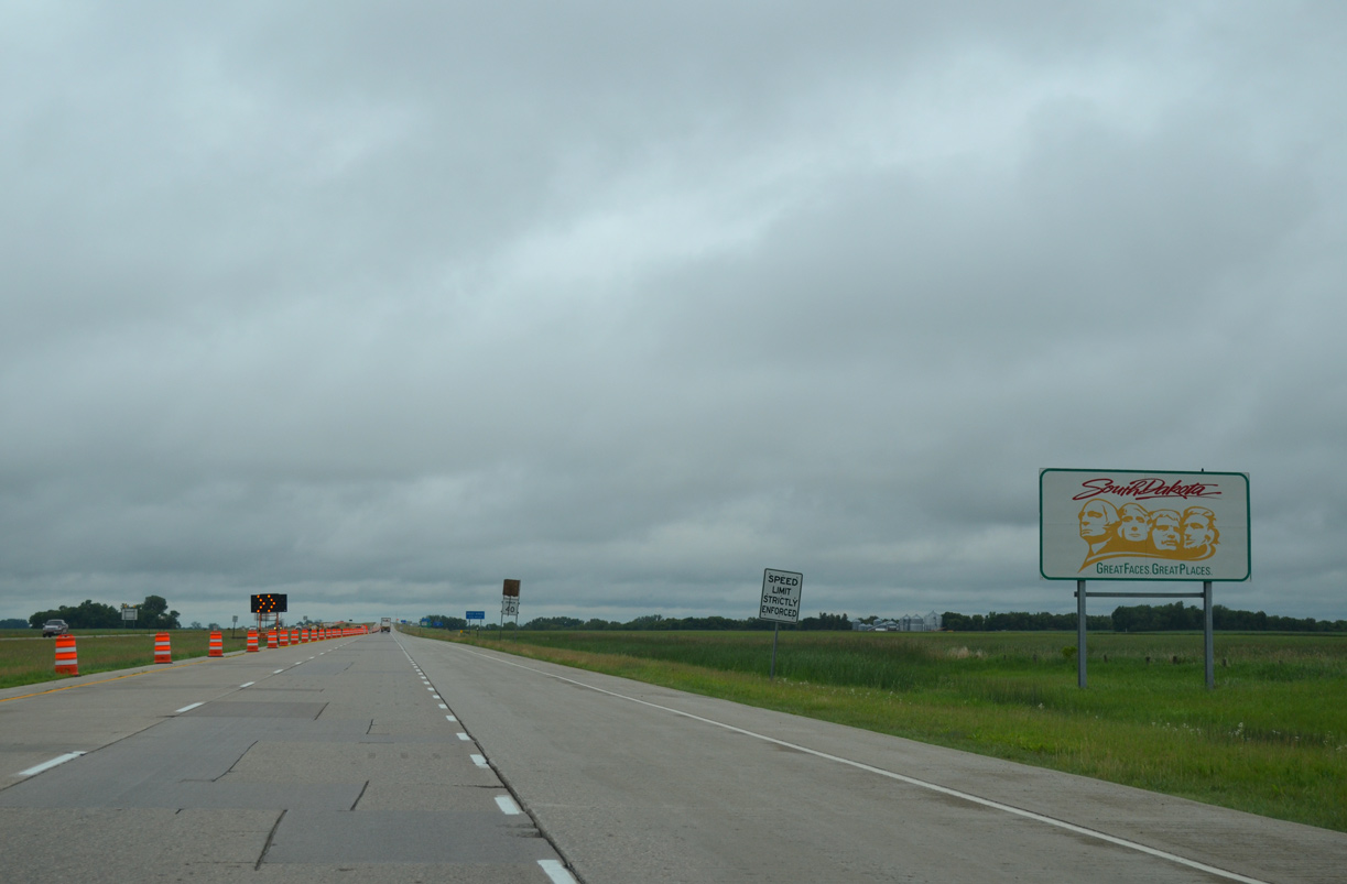
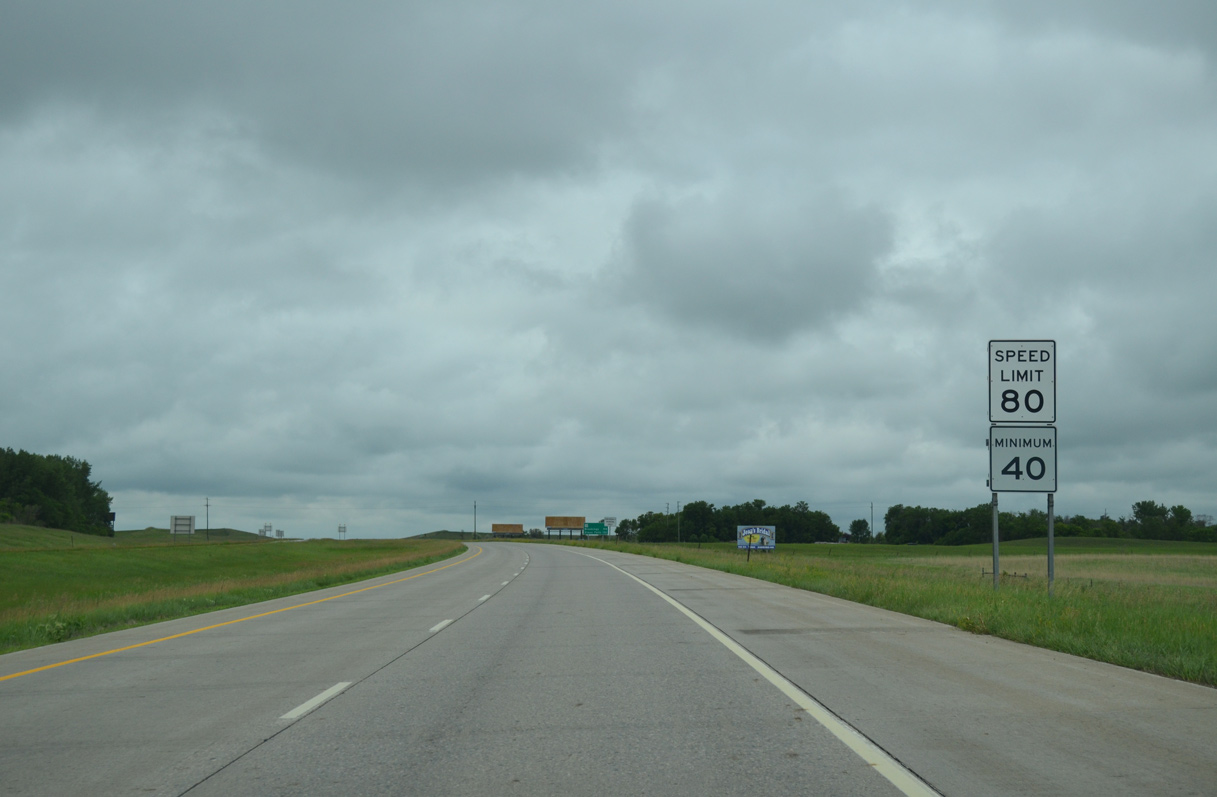
| Welcome to South Dakota sign featuring the "Great Faces Great Places" slogan. With the exception of construction zones, rural speed limits along I-29 are posted at 80 miles per hour in the Mount Rushmore State. 06/17/15 |
|
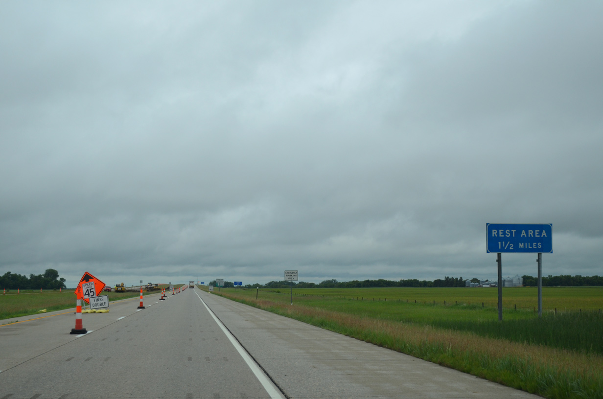
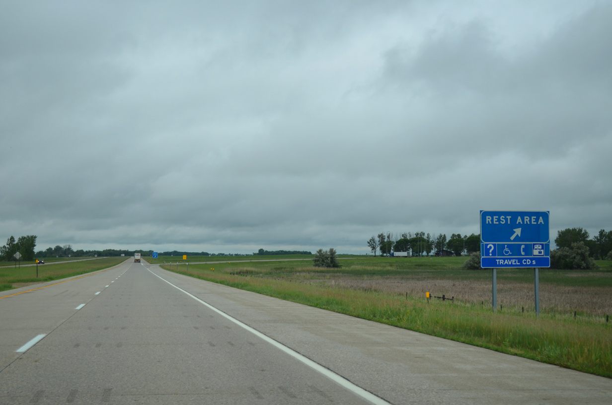
| A rest area and tourist information center lies 1.5 miles south of the North Dakota state line by Big Slough. 06/17/15 |
|
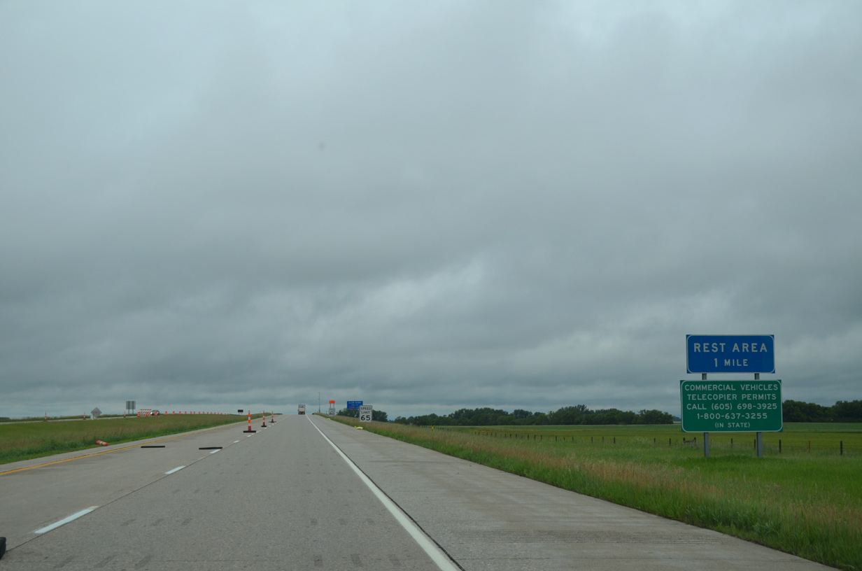
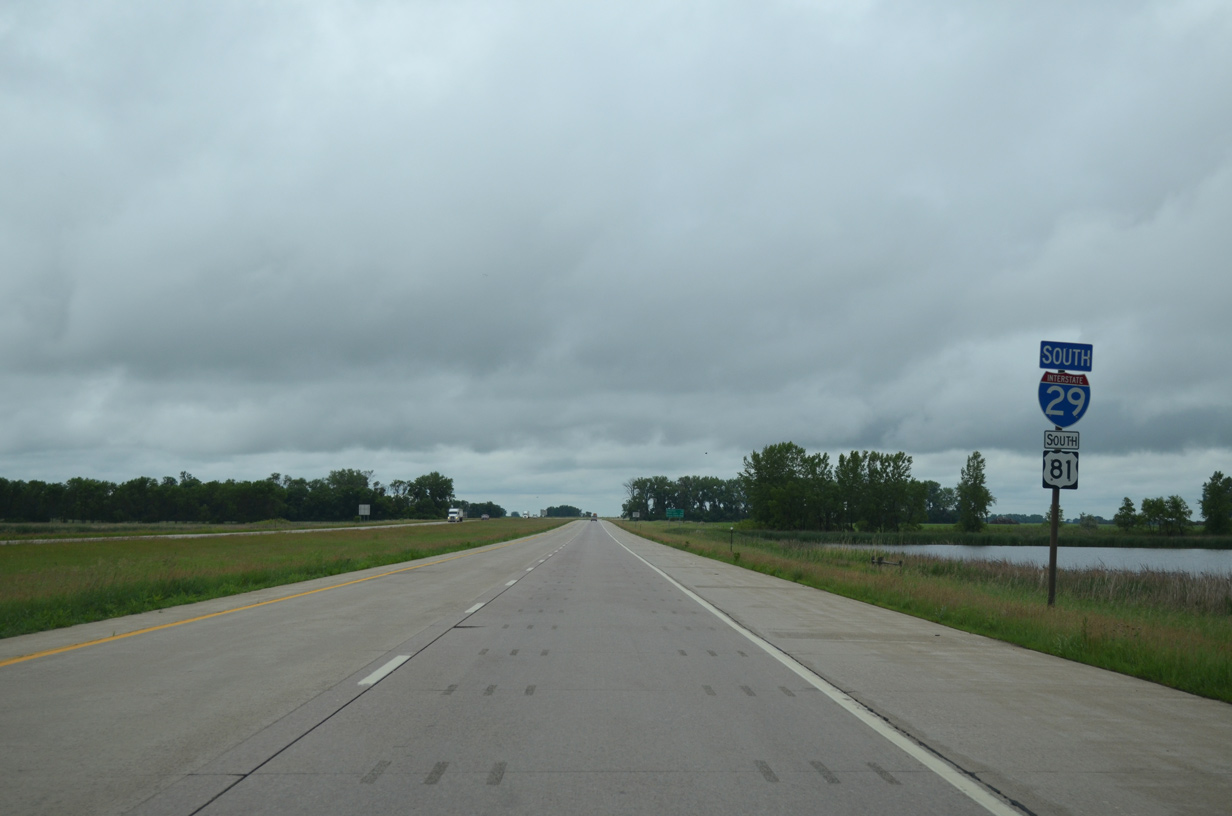
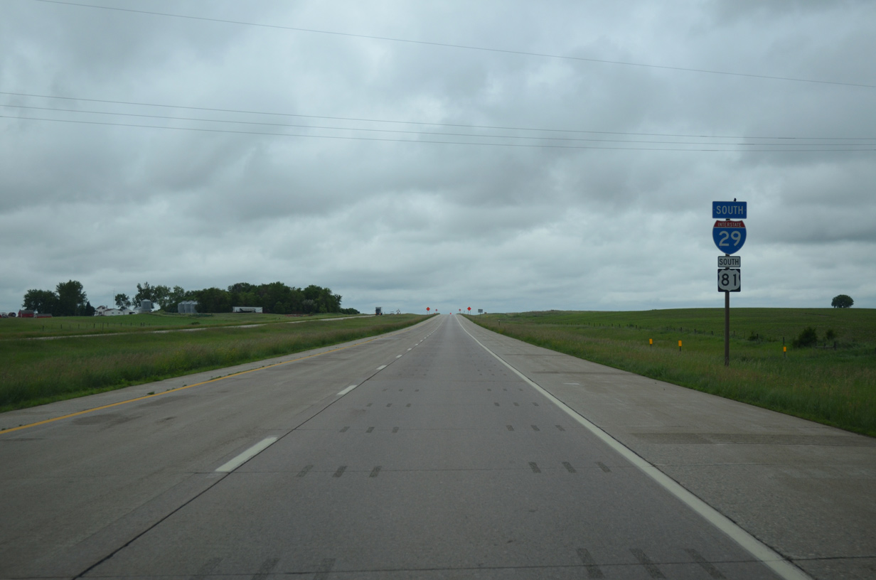
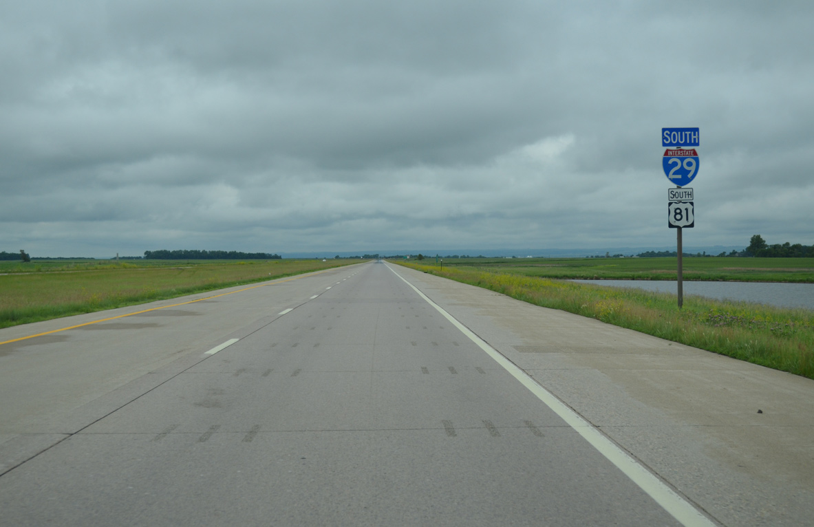
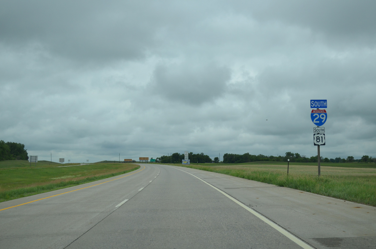
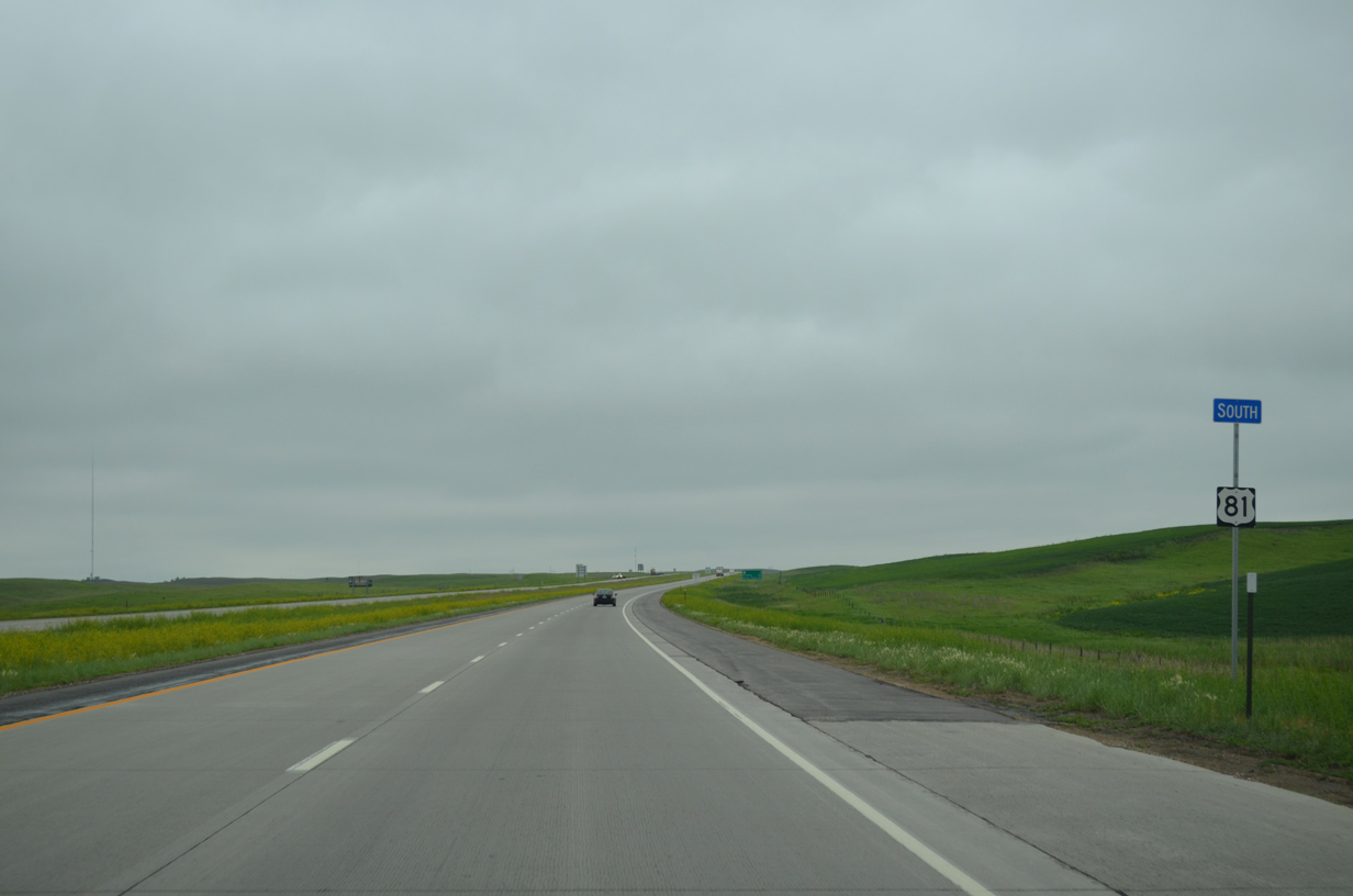
| Southbound I-29/U.S. 81 at the South Dakota welcome center. 06/17/15 |
|
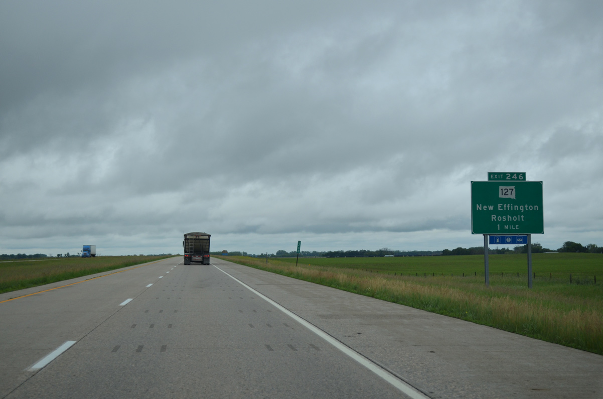
| Turning due south through Lien township, Interstate 29/U.S. 81 approach the diamond interchange (Exit 246) with SD 127. 06/17/15 |
|
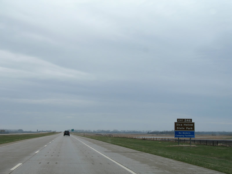
| Interests to Sica Hollow State Park are directed from I-29/U.S. 81 onto SD 127 west. The park is a 25 mile drive from Exit 246. 04/22/07 |
|
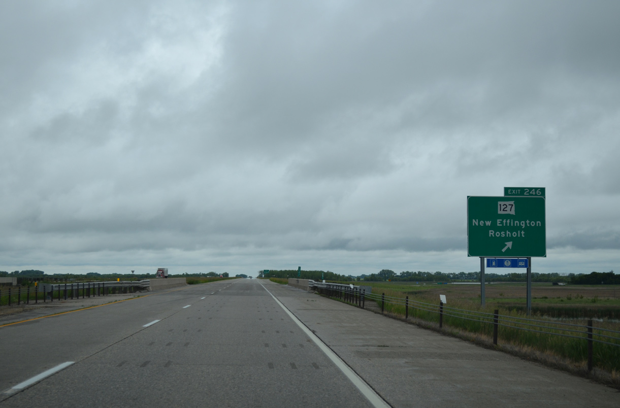
| Exit 246 leaves I-29/U.S. 81 south for SD 127 at the Sunflour Railroad under crossing. SD 127 heads westward to the town of New Effington and eastward to Victor and the town of Rosholt. Overall the highway travels 37 miles northeast from Sisseton to ND 127 northeast of Rosholt. 06/17/15 |
|
| Confirming markers for I-29/U.S. 81 south posted as the freeway traverses an area of wetlands west of Cottonwood Lake. 06/17/15 |
|
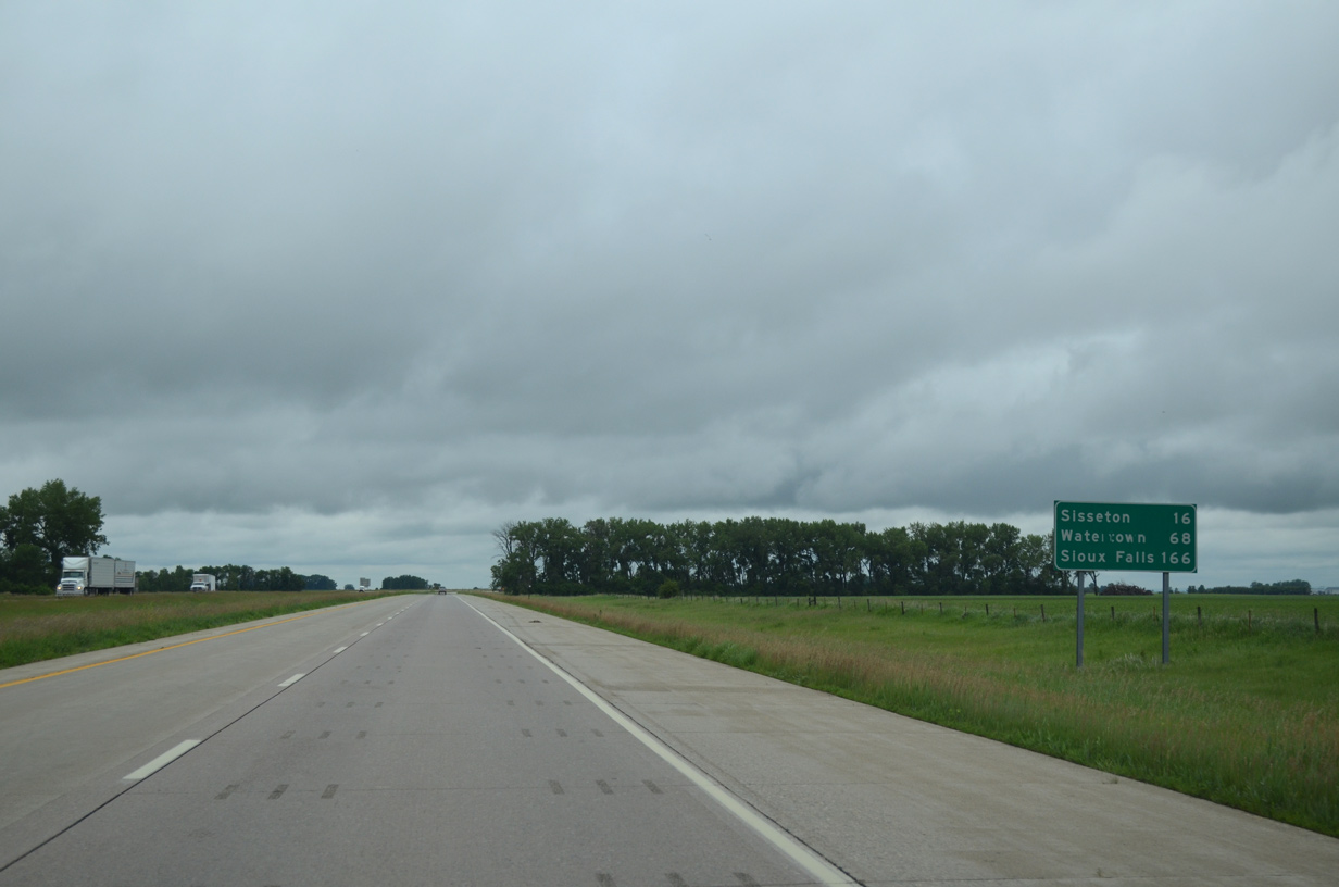
| Interstate 29/U.S. 81 continue south 16 miles to Sisseton. SD 127 travels along former U.S. 81 from New Effington southward to Sisseton to the west. 06/17/15 |
|
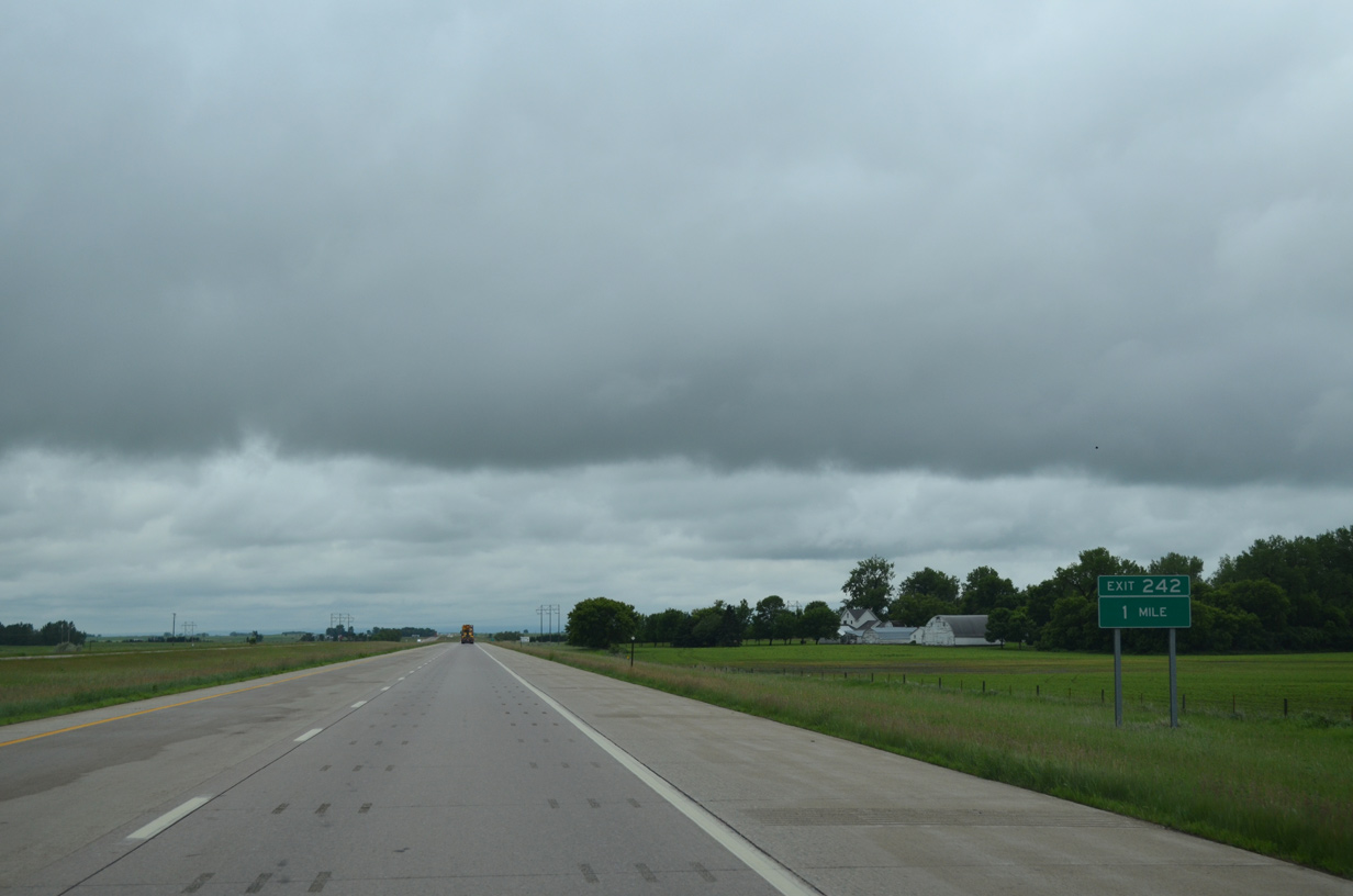
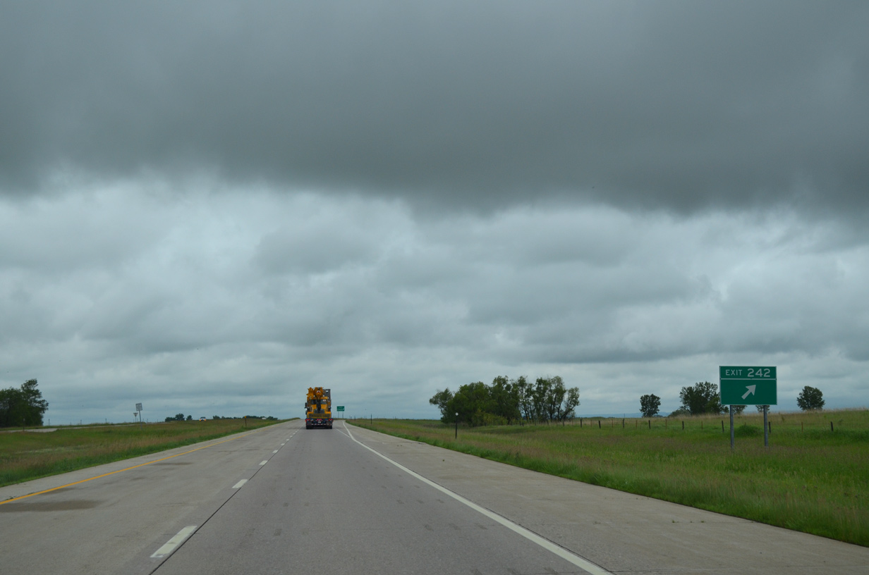
| Interstate 29/U.S. 81 angles southwest across Hart township to next meet 110th Street (CR 23) at Exit 242. 06/17/15 |
|
| Some ranch exits in South Dakota receive no designation such as Exit 242 with CR 23. CR 23 (110th Street) traverses rural wetlands west six miles to SD 127 (former U.S. 81) and heads east eight miles across Cottonwood Slough to CR 7. 04/22/07 |
|
| Interstate 29/U.S. 81 remain southwest to Grant township. 06/17/15 |
|
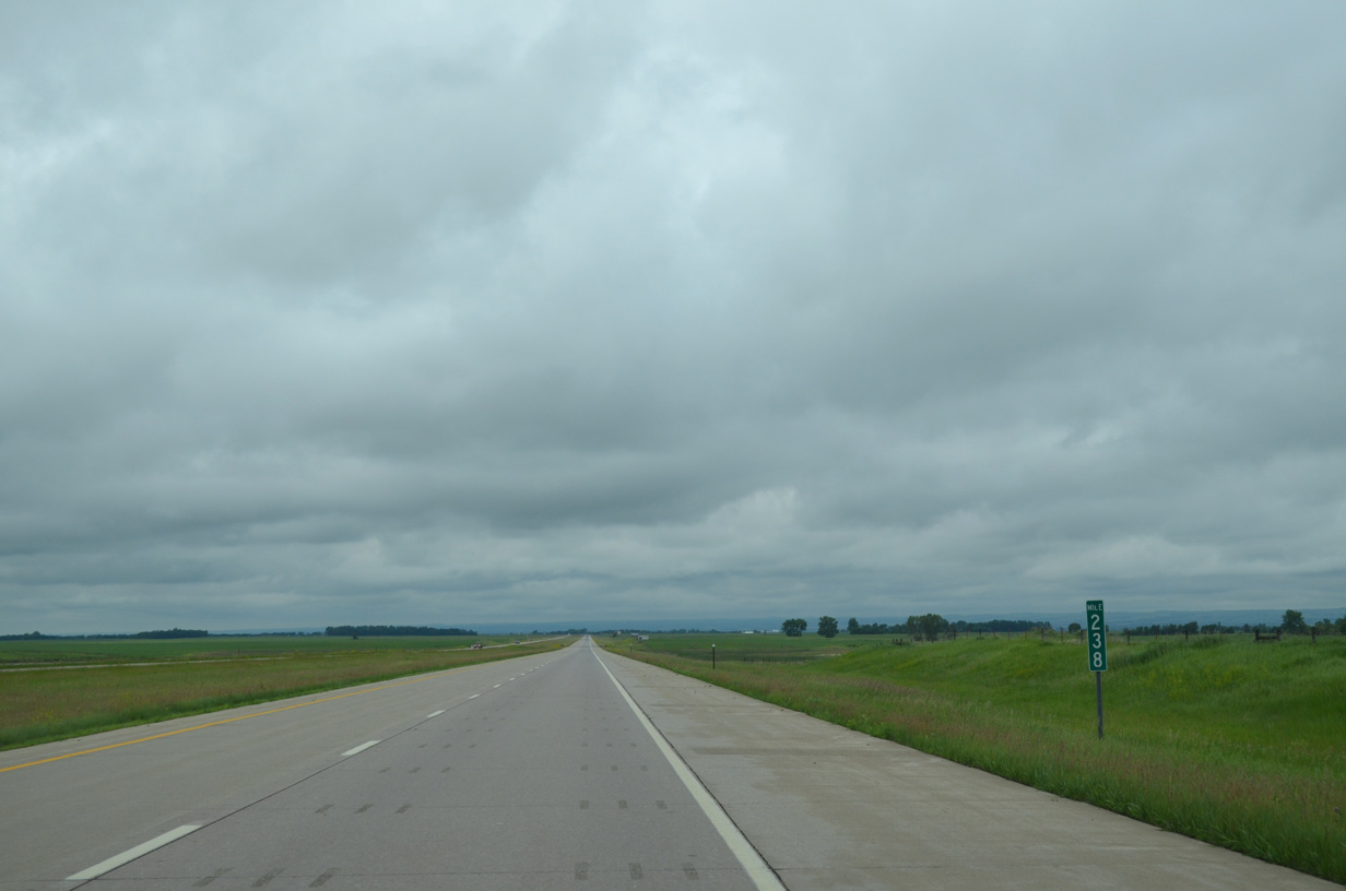
| A long straight away at milepost 238 reveals the bluff line of Coteau des Prairies, a 200 mile long plateau stretching north to the North Dakota state line at Sargent County and southeast across Minnesota to northwestern Iowa. The plateau is marked by many glacial lakes. 06/17/15 |
|
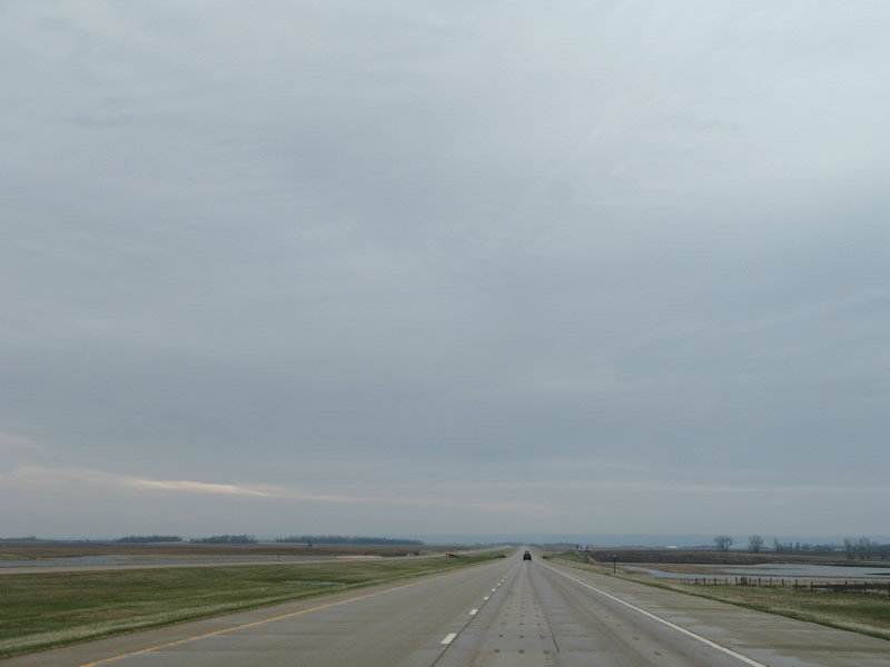
| More of the prairie flatlands along I-29/U.S. 81 south in Roberts County. Some of the standing water in this scene was the result of a 2.45 inch area rain fall from the day before. 04/22/07 |
|
| Reassurance markers posted along the 9.5 mile exit less stretch leading to SD 10 in Sisseton township. 06/17/15 |
|
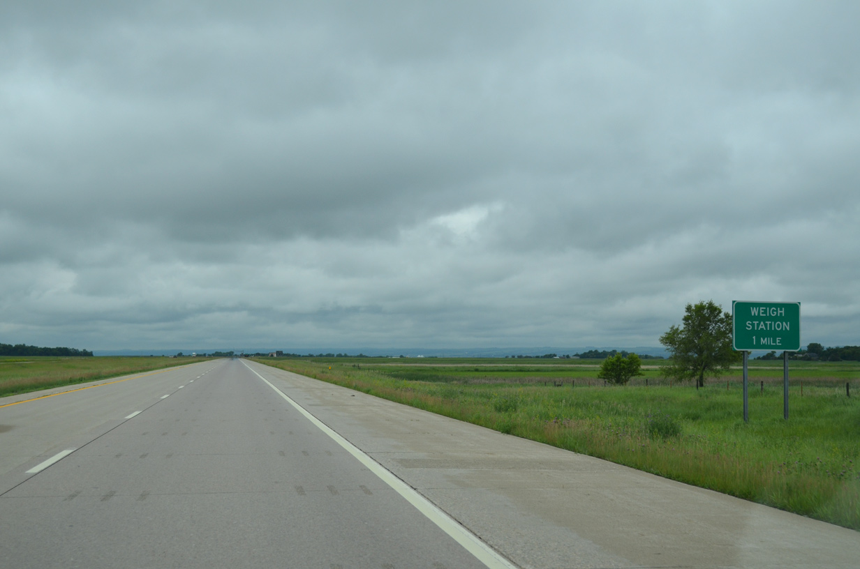
| A truck weigh station operates along the freeway southbound in Grant township. 06/17/15 |
|
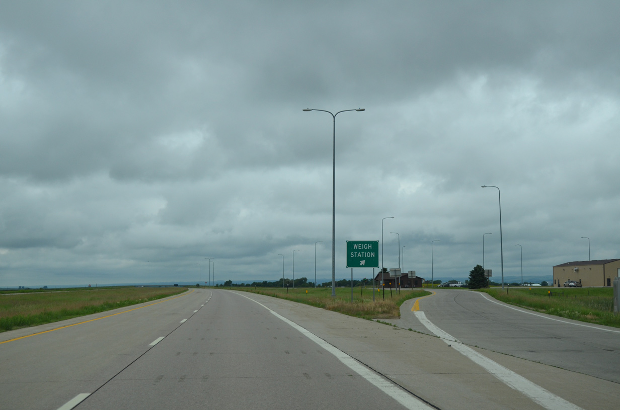
| Southbound truckers along I-29/U.S. 81 reach the weigh station off-ramp. Unpaved County Road 1 parallels the freeway nearby. 06/17/15 |
|
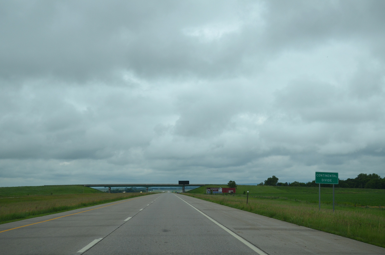
| Travelers along Interstate 29/U.S. 81 south cross the Continental Divide just ahead of the 117th Street overpass. The freeway gradually lowers around 30 feet in elevation to cross the Little Minnesota River in 1.5 miles 06/17/15 |
|
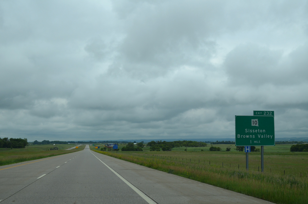
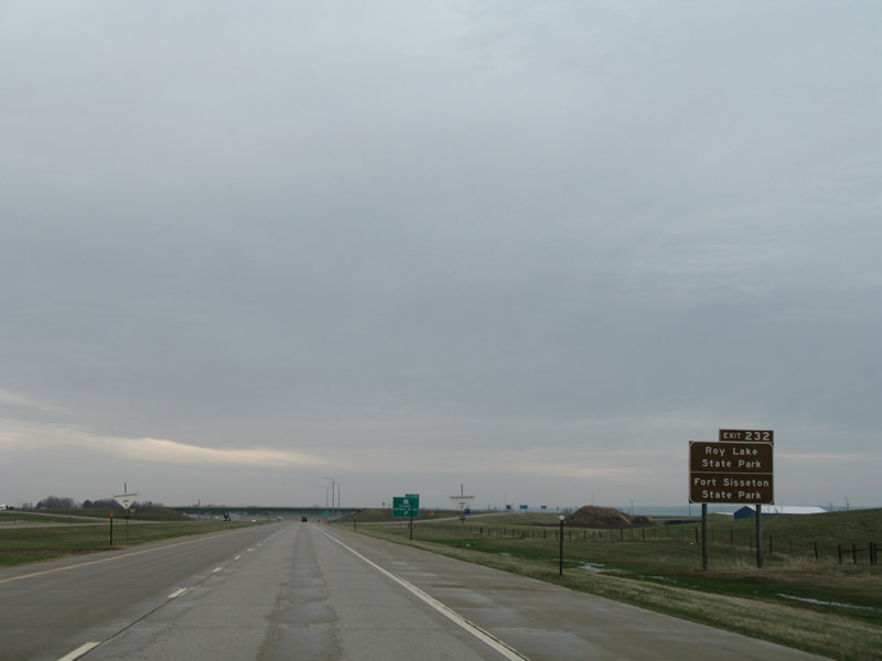
| Forthcoming SD 10 (119th Street) provides the main route into the Roberts County seat of Sisseton from I-29/U.S. 81. A diamond interchange (Exit 232) joins the state highway and freeway, 1.4 miles east of the city limits. 06/17/15 |
|
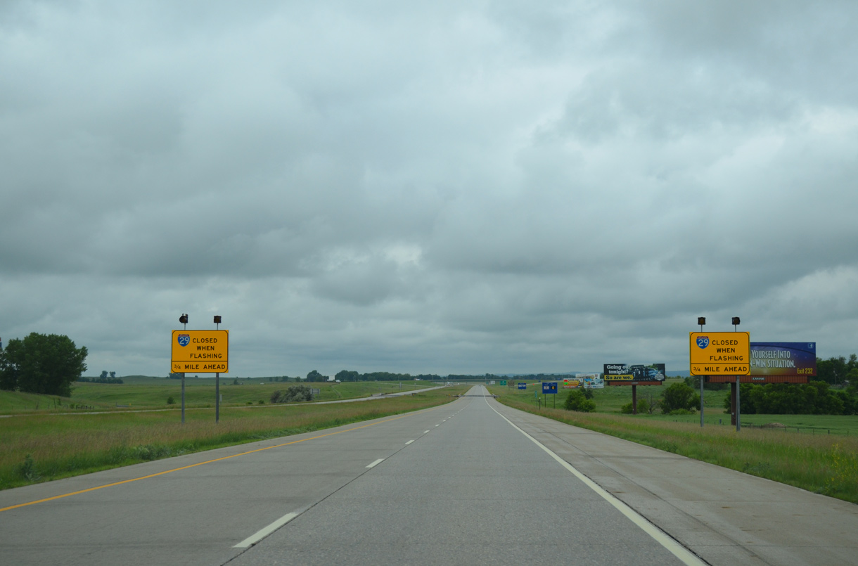
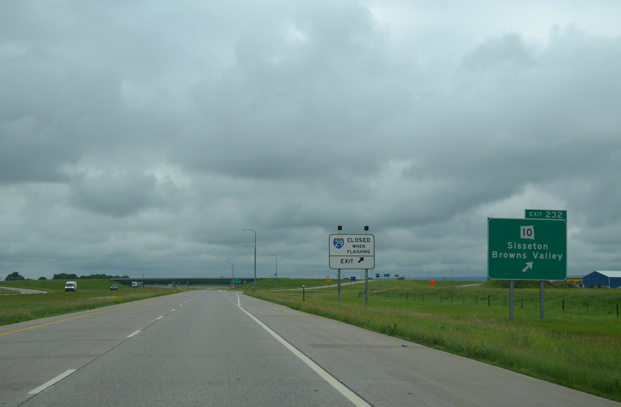
| SDDOT may close Interstate 29 south of Exit 232 during inclement weather. When closed, all traffic is directed onto South Dakota 10. 06/17/15 |
|
| SD 10 travels 193 miles overall from Pollock (SD 1804) and MN 28 near Browns Valley. The state highway leads drivers west to Roy Lake State Park and Fort Sisseton State Park in adjacent Marshall County. 04/22/07 |
|
| Exit 232 departs Interstate 29/U.S. 81 south for SD 10 (119th Street). SD 10 heads east 9.6 miles to become MN 28 at Lake Traverse; MN 28 continues to Browns Valley and Morris. 06/17/15 |
|
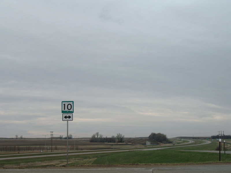
| SD 10 shield posted at the end of the Exit 232 off-ramp. West of Sisseton, SD 10 heads toward Lake City and Britton. CR 34 follows old U.S. 81 to the west. 04/22/07 |
|
| Interstate 29/U.S. 81 turn due south through Goodwill township. 06/17/15 |
|
| South Dakota joined Idaho, Montana, Utah and Wyoming with maximum speed limit of 80 miles per hour on April 1, 2015. 06/17/15 |
|
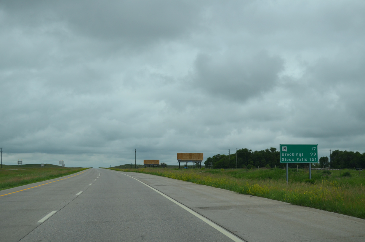
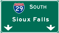
| Brookings, home of South Dakota State University, lies 99 miles to the south via I-29. Sioux Falls follows in 151 miles. 06/17/15 |
|
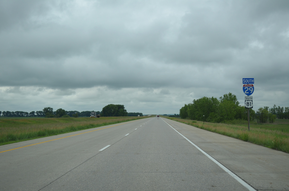
| Another set of shields for I-29/U.S. 81 south stand along the freeway to the west of Peever Slough and ahead of the Sisseton/Milbank Railroad underpass. 06/17/15 |
|
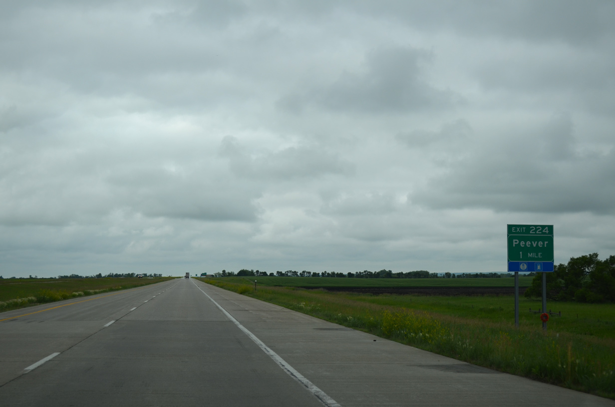
| County Road 5 (127th Street) connects Interstate 29 with the town of Peever at Exit 224 in one mile. 06/17/15 |
|
| Agency Village, tribal headquarters of the Sisseton Wahpeton Oyate, lies 4.7 miles to the northwest of Exit 224. The unincorporated community is home to Sisseton-Wahpeton Community College. 06/17/15 |
|
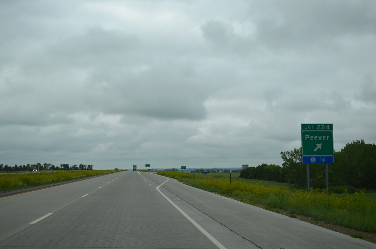
| Entering the diamond interchange (Exit 224) with CR 5 on I-29/U.S. 81 south. Peever is a 1.5 mile drive to the east via CR 5 (127th Street). CR 5 west ventures to Day County and Pickeral Lake. 06/17/15 |
|
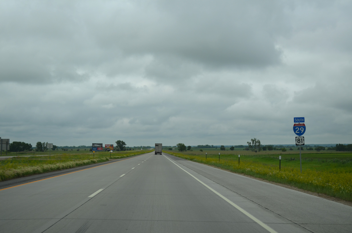
| Interstate 29 remains due south for another six miles to Spring Grove township. 06/17/15 |
|
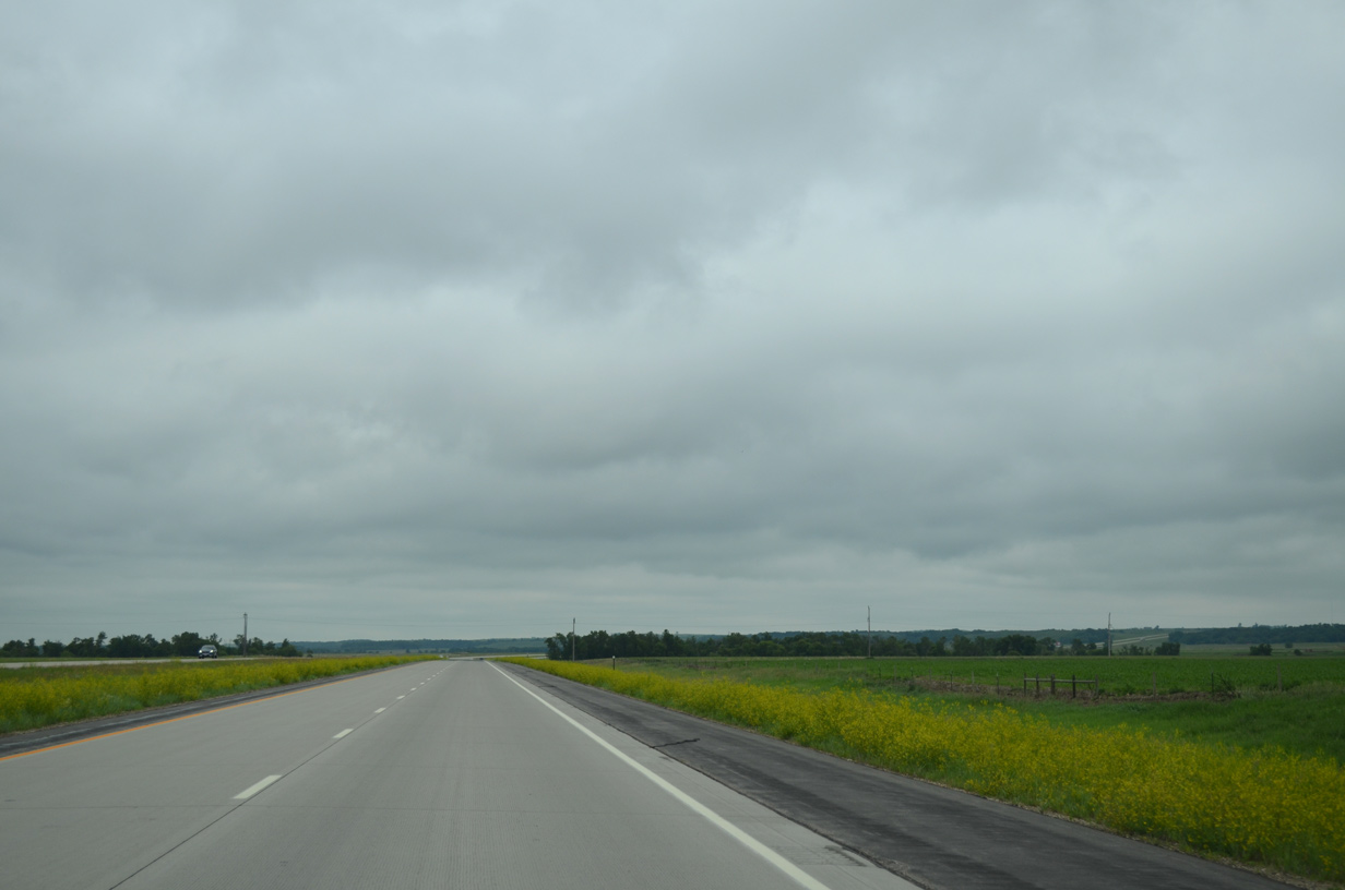
| Open prairie land along Interstate 29/U.S. 81 in Agency township. 06/17/15 |
|
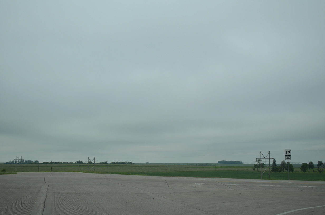
| Just 5,260 vehicles per day (vpd) were recorded on the freeway between Peever and SD 15 by SDDOT in 2015. 06/17/15 |
|
| Turning southwest, I-29/U.S. 81 rise over 300 feet in elevation to Exit 213 as the freeway climbs onto Coteau des Prairies plateau. A scenic overlook affords travelers a view of the prairie flat lands spreading east to Big Stone Lake. 06/17/15 |
|
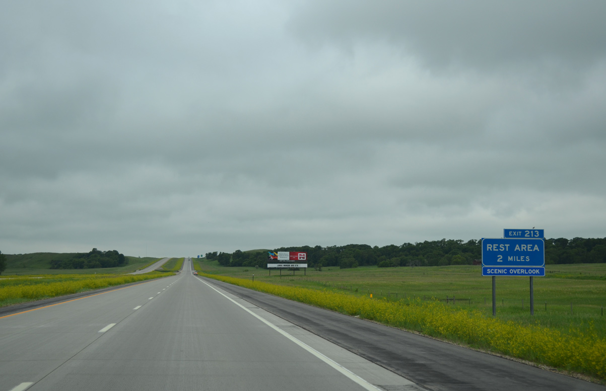
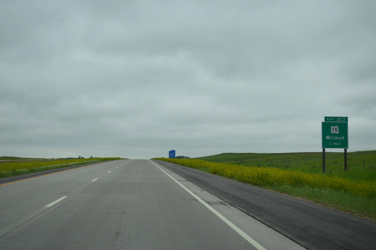
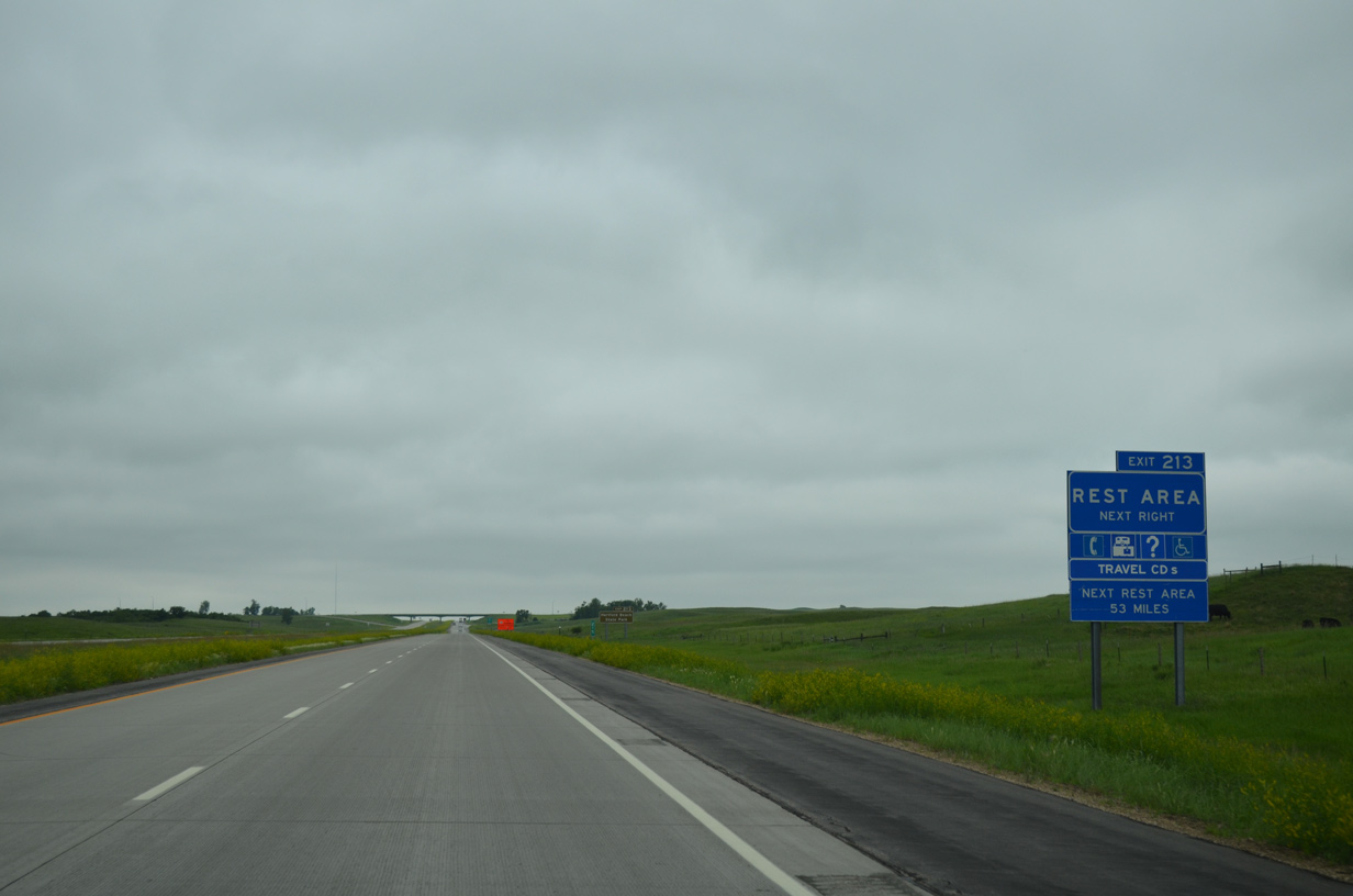
| One mile ahead of the diamond interchange (Exit 213) with SD 15 east and CR 17 west on I-29 south. SD 15 forms an 79 mile long route east from Exit 213 to Wilmot and SD 109, and south to Milbank, Clear Lake and SD 28 near Toronto. 06/17/15 |
|
| An off-site rest area and tourist information center lies just east of Exit 213 along SD 15. The subsequent areas along I-29 south are located 53 miles away in Deuel County. 06/17/15 |
|
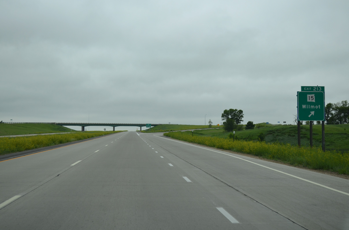
| Southbound Interstate 29 at Exit 213 for SD 15 east and CR 17 west. CR 17 west links I-29 with CR 34 (old U.S. 81) and Hurricane Lake. Wilmot, located eight miles to the east, represents the main population center of southern Roberts County with around 500 residents. Beyond Wilmot, SD 15 and SD 109 provide a cutoff from I-29 to U.S. 12 and Ortonville, Minnesota. 06/17/15 |
|
| Interstate 29 and U.S. 81 switch sides with parallel County Road 34 (old U.S. 81) at the Summit township line. 06/17/15 |
|
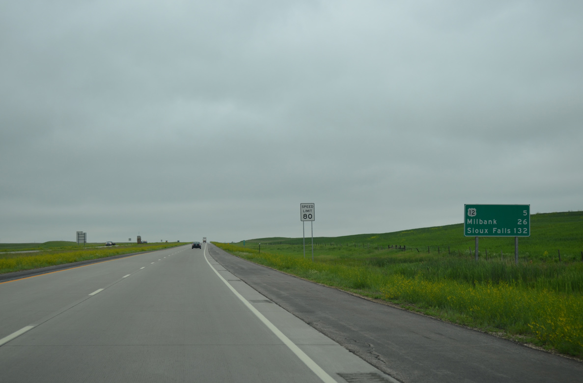
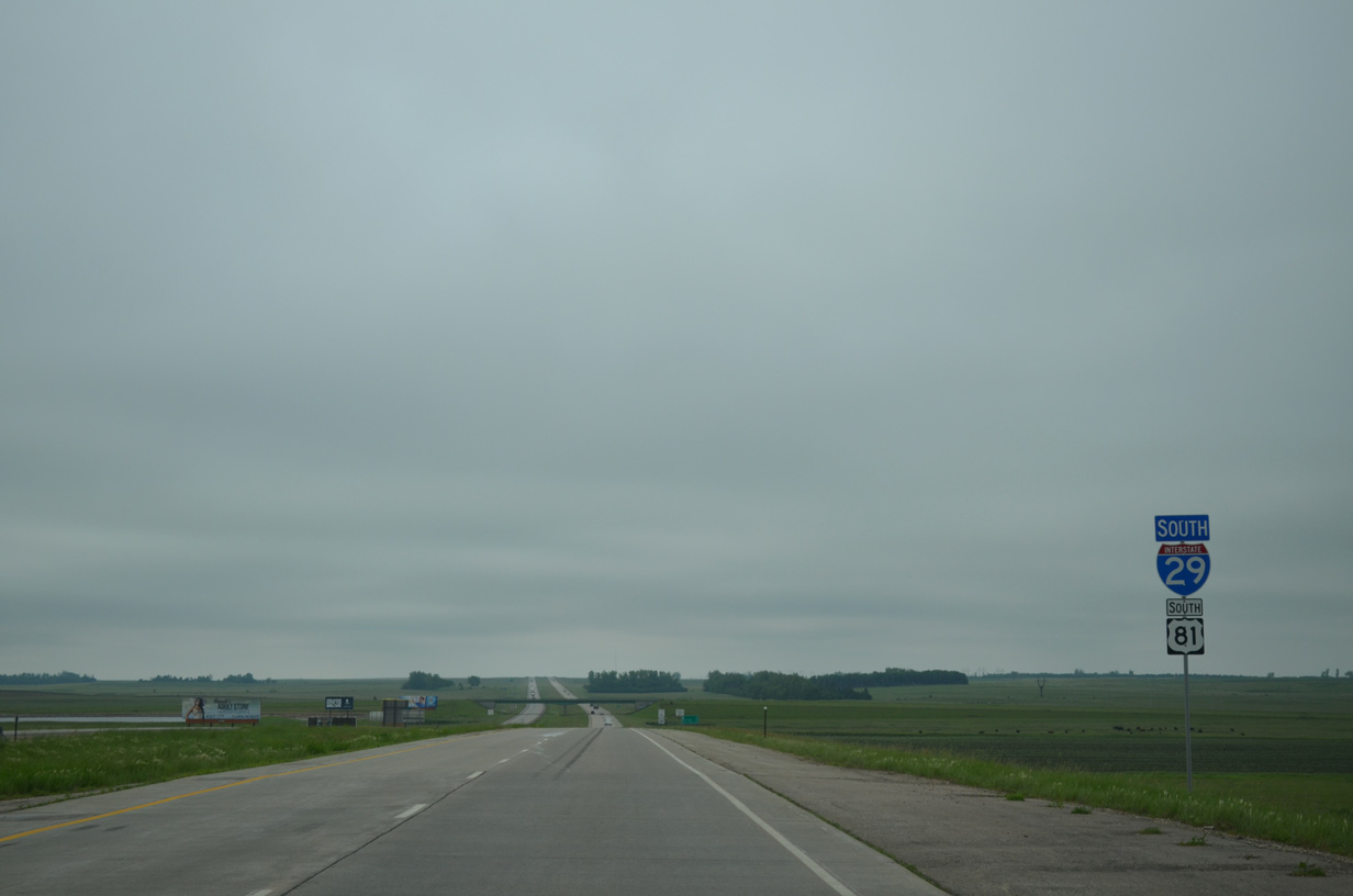
| U.S. 12 crosses paths with I-29 at the final Roberts County interchange in five miles. The US route travels 21 miles east to Milbank, seat of Grant County. Sioux Falls is now 132 miles away. 06/17/15 |
|
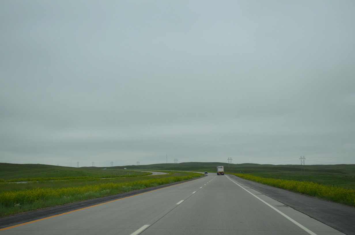
| The freeway curves south again and rises to over 2,000 feet above sea level on the Coteau des Prairies plateau. 06/17/15 |
|
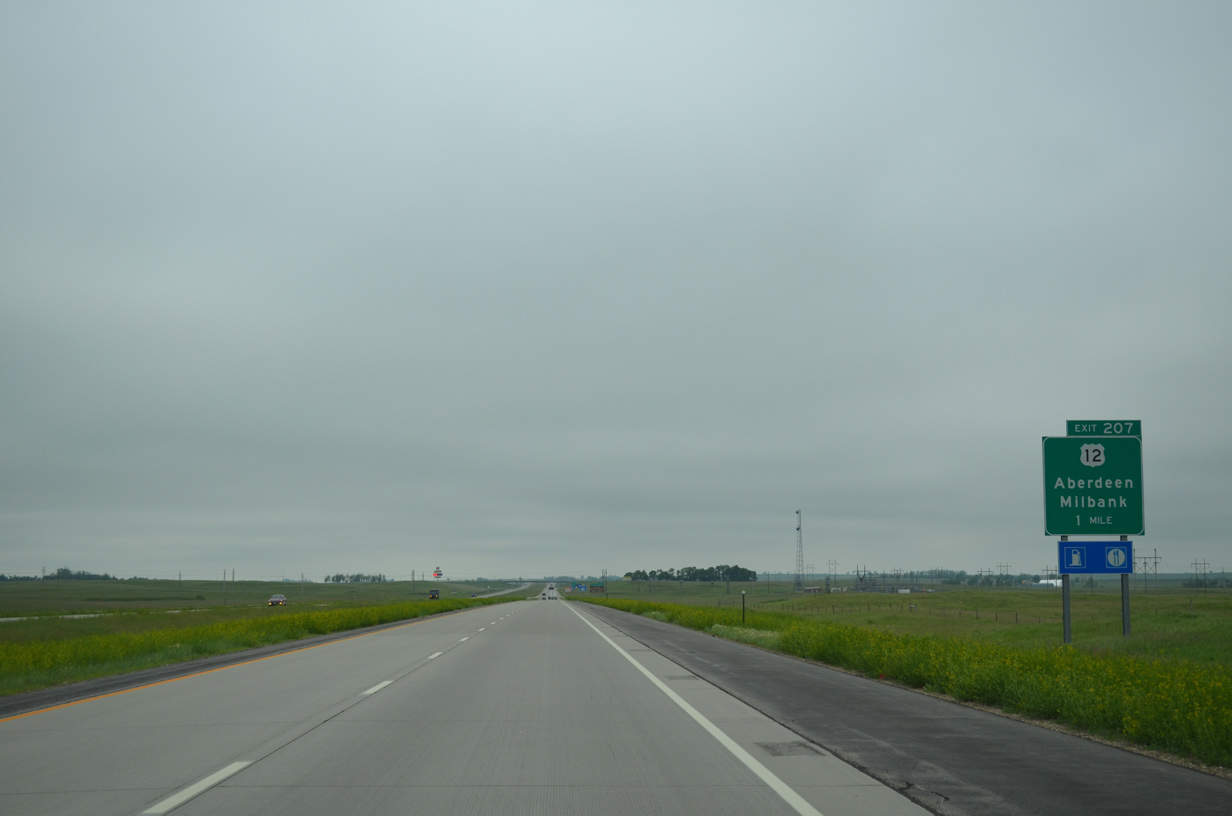
| Two mile notice is given to southbound motorists along Interstate 29/U.S. 81 for the diamond interchange (Exit 207) with U.S. 12. 06/17/15 |
|
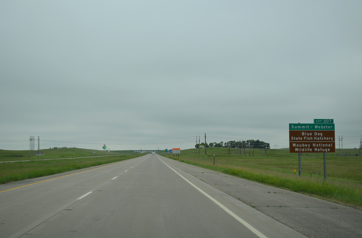
| U.S. 12 traverses northern reaches of South Dakota from White Butte east to McIntosh, Mobridge, Selby, Ipswich, Aberdeen, Webster and Big Stone City along a 315 mile course. More locally, the US route joins the rural south Roberts County towns of Ortley and Summit. 06/17/15 |
|
| West from Exit 207, U.S. 12 travels as a four lane divided highway or five lane arterial 13 miles to Blue Dog Lake, the city of Waubay and Waubay National Wildlife Refuge and 23 miles to the Day County seat of Webster via a causeway spanning Rush Lake. 06/17/15 |
|
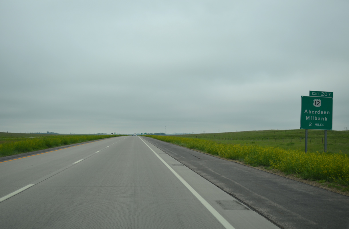
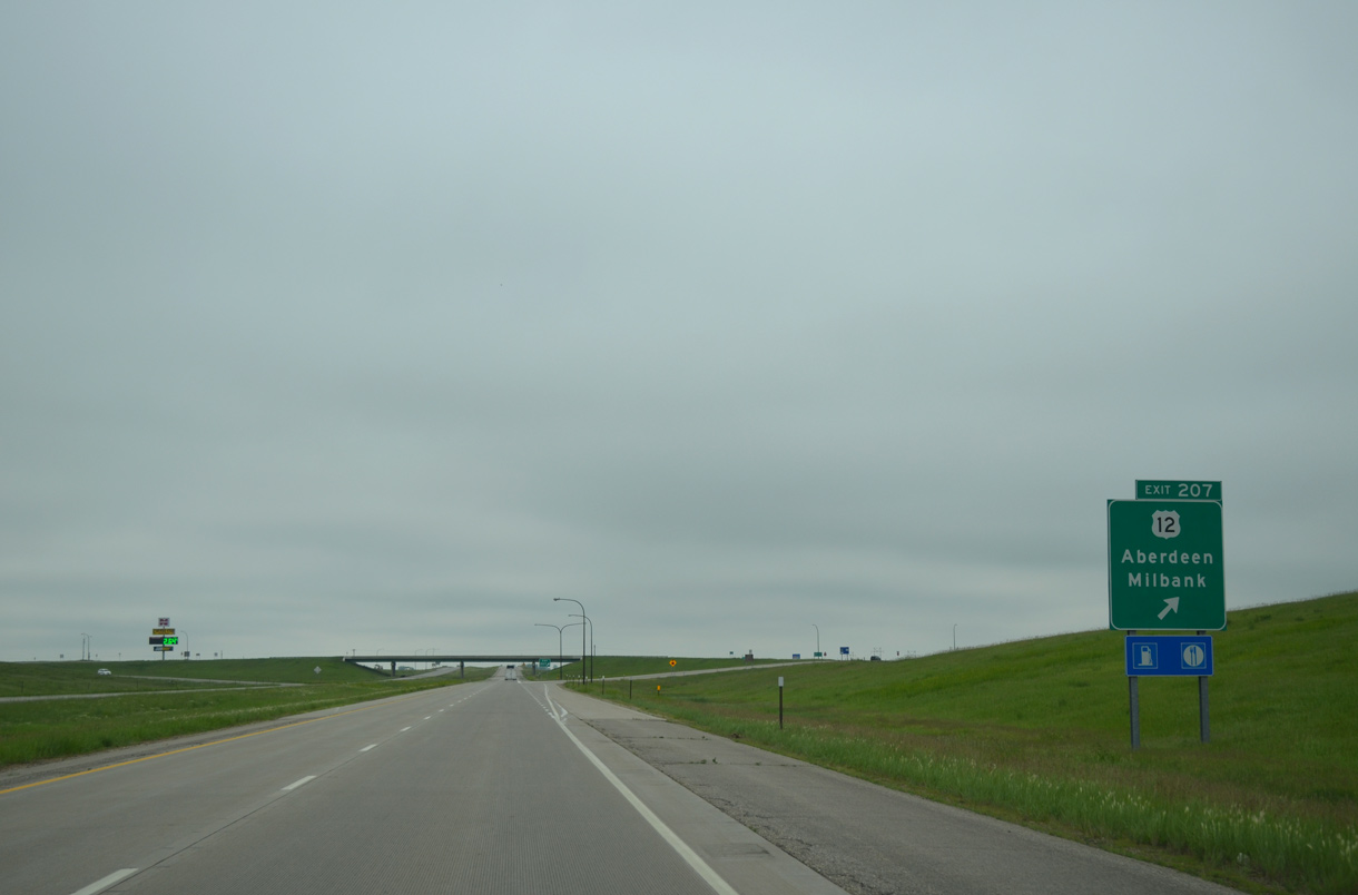
| Exit 207 departs Interstate 29/U.S. 81 south for U.S. 12 on the outskirts of Summit. Nationally U.S. 12 stretches nearly 2,500 miles from Aberdeen in coastal Washington to Downtown Detroit, Michigan. 06/17/15 |
|
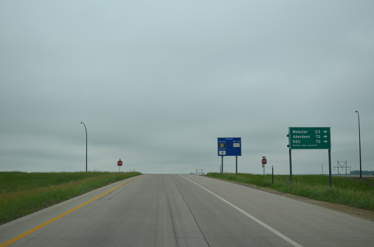
| Aberdeen, third largest city in the state and the home of Northern State University, is a 72 mile drive to the west. The entire corridor is four lanes. 06/17/15 |
|
| A service station is located just east of U.S. 12. The rural route otherwise parallels a BNSF Railroad line east to Milbank and Ortonville, Minnesota. Historically U.S. 81 overlapped with U.S. 12 from what is now CR 34 to the east and CR 30 to the west. Construction of I-29 displayed the original alignment (142nd Street) and wye intersection, 0.8 miles to the north. 06/17/15 |
|
| Interstate 29/U.S. 81 lower to cross over the aforementioned BNSF Railroad line ahead of this shield assembly. 06/17/15 |
|
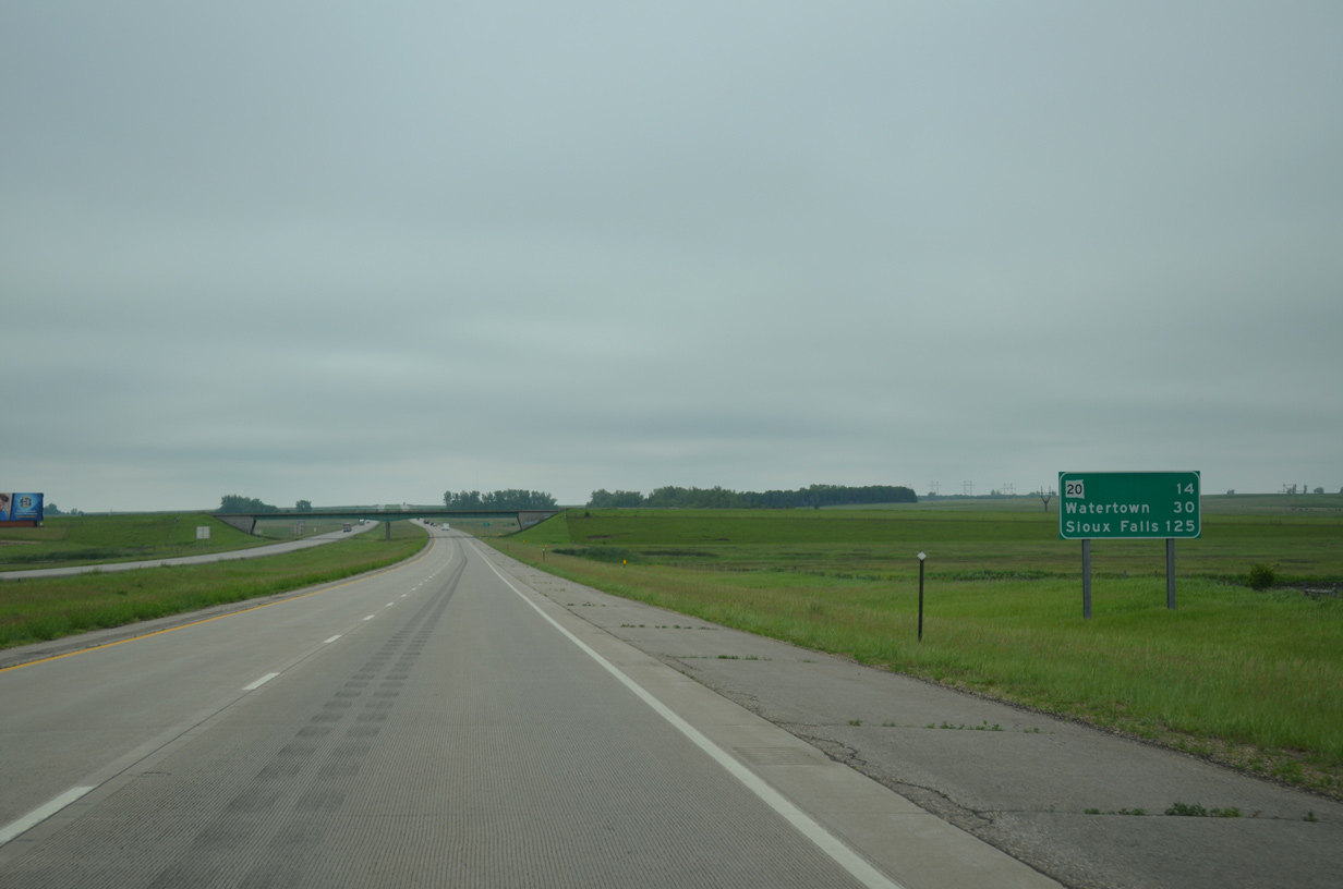
| Watertown reappears on southbound distance signs at 30 miles out. Sioux Falls is an hour and a half away. 06/17/15 |
|
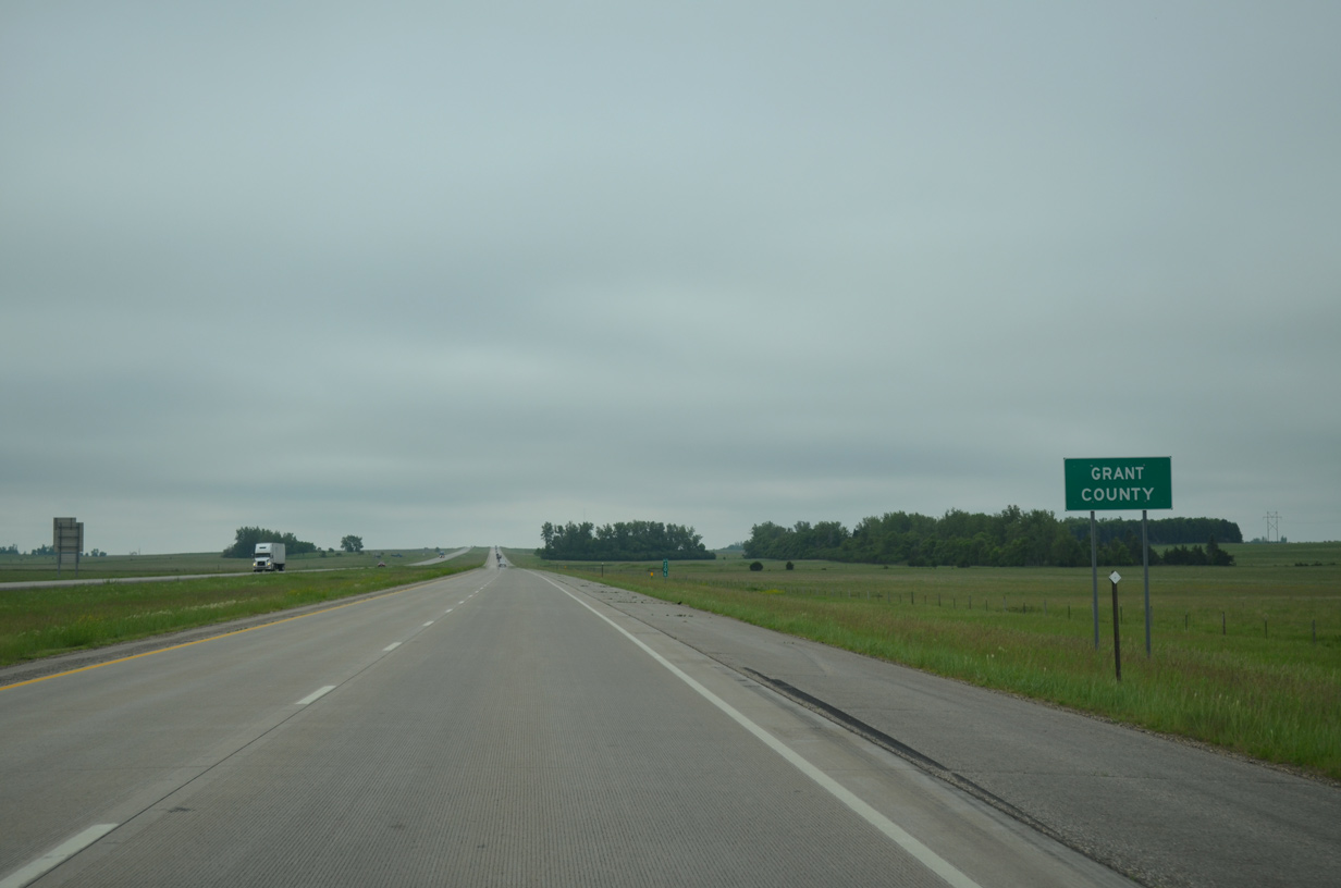
| Motorists on I-29 south enter the western panhandle of Grant County at the County Road 24 overpass near Summit. 06/17/15 |
Page Updated 07-21-2016.


 South
South