|
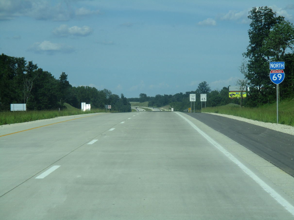
| Heading due north into Daviess County, I-69 passes between Sandy Hook along SR 57 and Wonder Pond to the east. 11/21/12 |
|
| Turning eastward, I-69 approaches the County Road 50 W overpass in Veale township. An interchange with Daviess County Road 350 S was cut out of the original construction of the highway along this stretch. It may be built in the future. 05/30/16 |
|
| Interstate 69 spans Veale Creek and then passes under Troy Road to the east of Thomas. 05/30/16 |
|
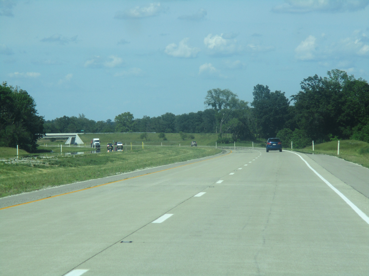
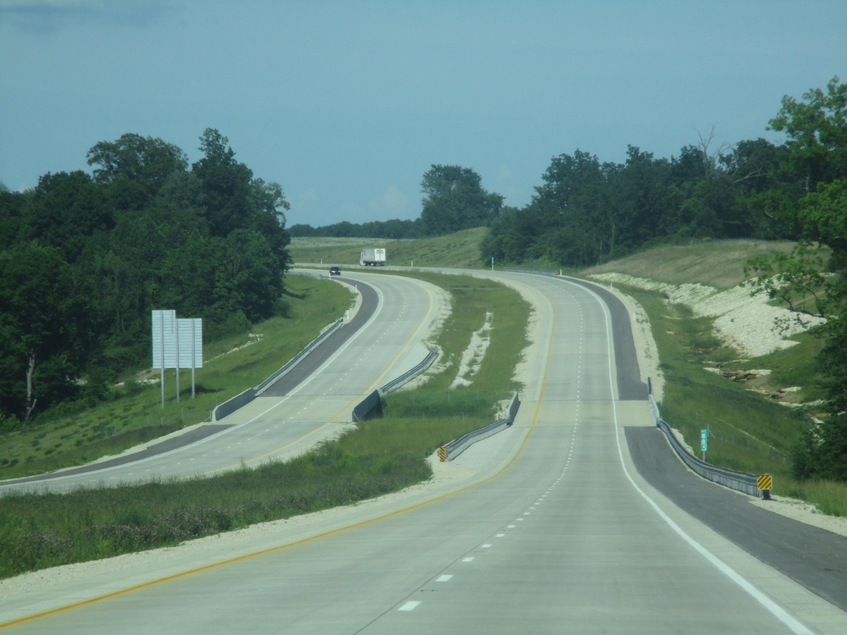
| Paralleling the U.S. 50 along the Washington bypass to the southeast, I-69 heads northeast to the County Road 125 E overpass. 05/30/16 |
|
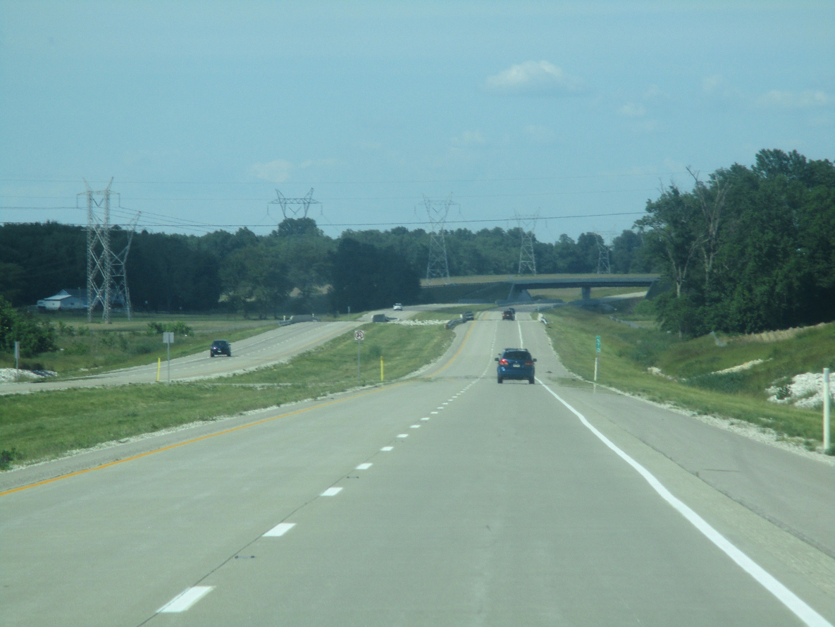
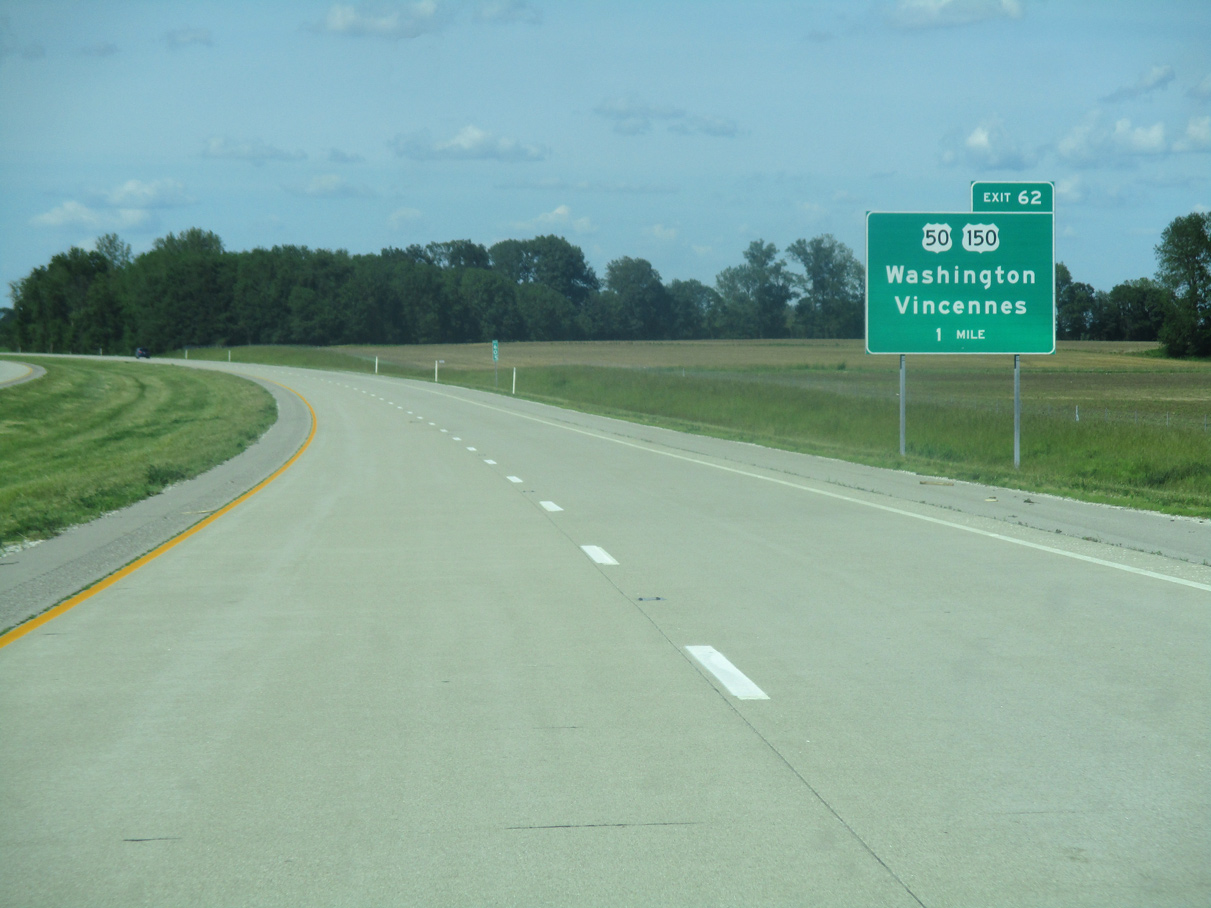
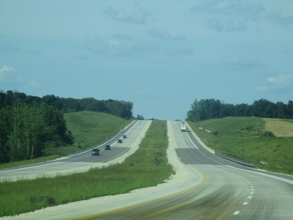
| Interstate 69 arcs northward two miles from County Road 125 East to Exit 62 for U.S. 50/150. 05/30/16 |
|
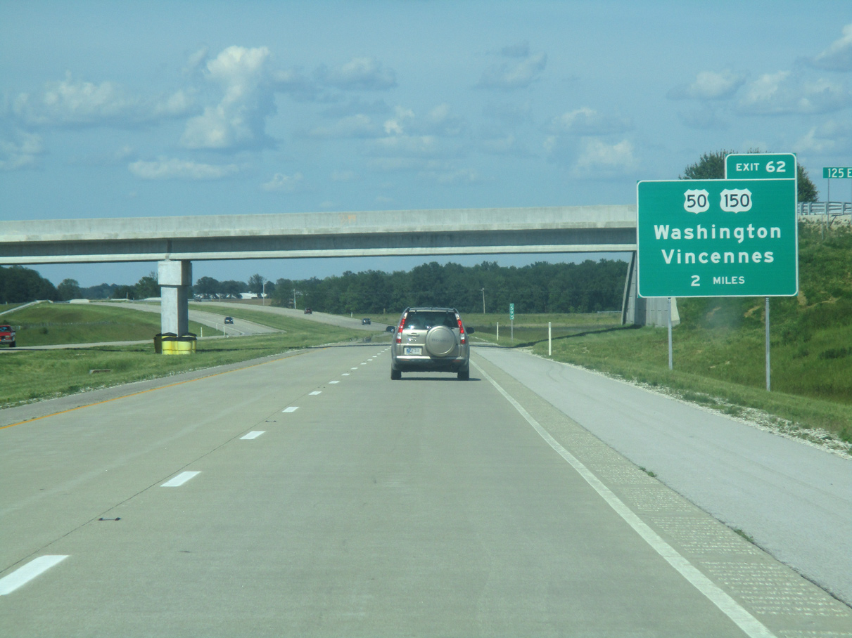
| U.S. 50/150 converge with I-69 at a diamond interchange (Exit 62) outside the city of Washington. U.S. 50 spans nearly the width of the U.S. for 3,008 miles from West Sacramento, California to Ocean City, Maryland. 05/30/16 |
|
| U.S. 50 represents a major highway across Southern Indiana, going for 171.5 miles from Vincennes to the west to Loogootee, Shoals, Bedford, Seymour, North Vernon and Lawrenceburg. 05/30/16 |
|
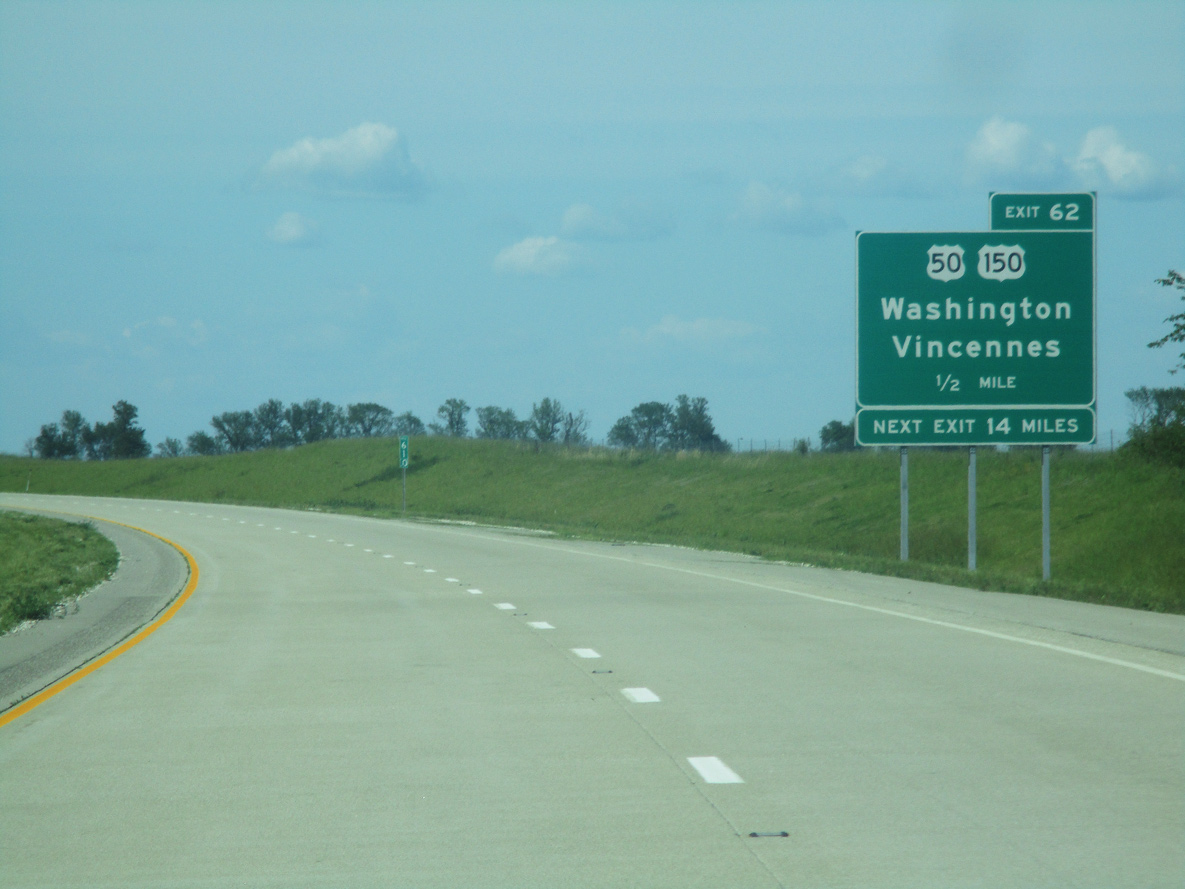
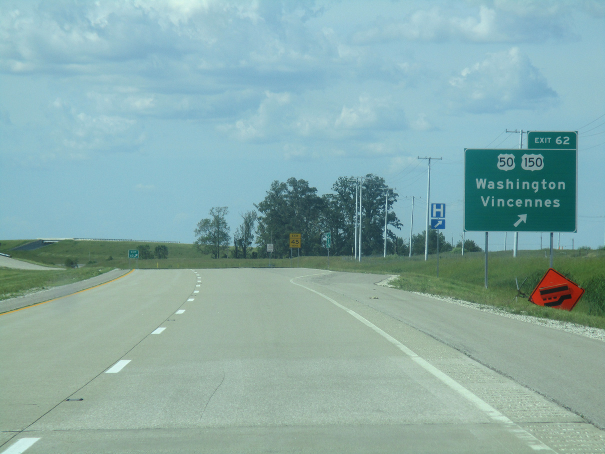
| Exit 62 leaves I-69 north for U.S. 50/150. U.S. 150 runs 176 miles across Indiana northwest from New Albany to Paoli, Sullivan and Terre Haute. U.S. 50/150 overlap for 44 miles between Shoals and Vincennes. 05/30/16 |
|
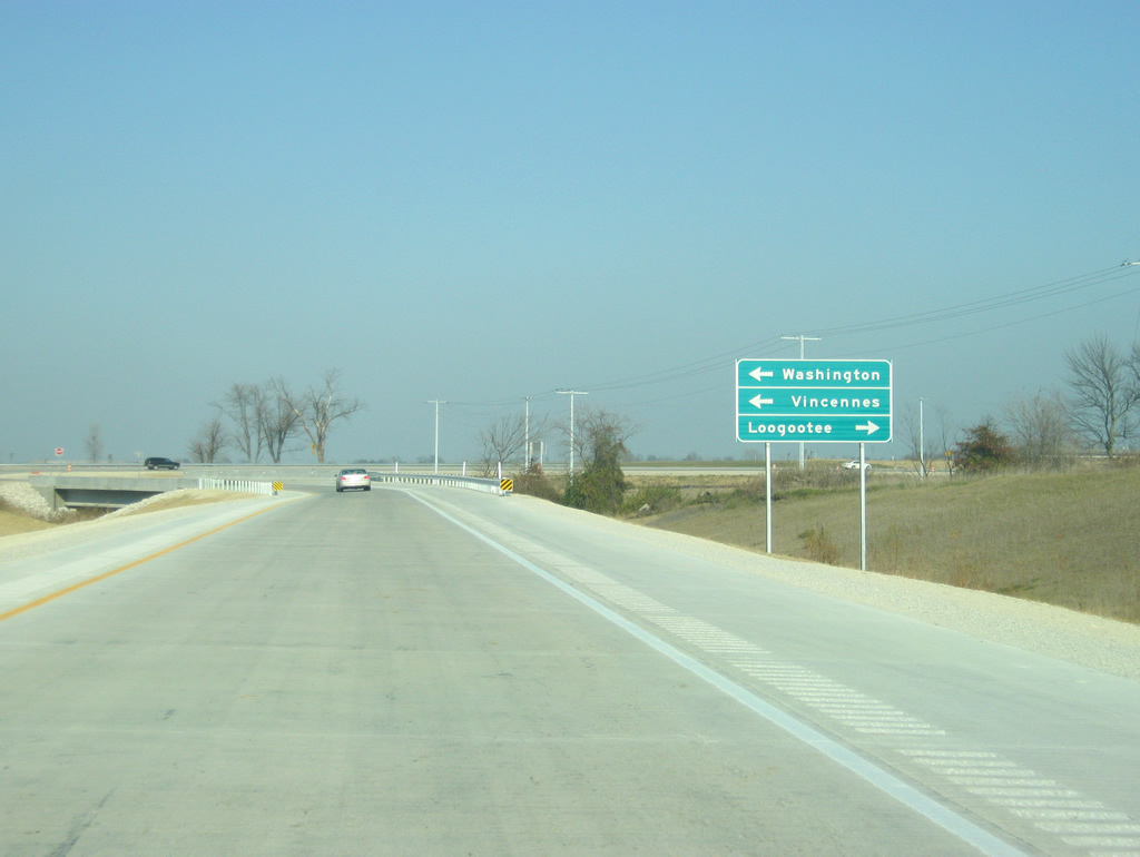
| Downtown Washington lies three miles to the west via U.S. 50/150 and National Highway (old U.S. 50/150). U.S. 50/150 follow an expressway west 25 miles to the Knox county seat of Vincennes. The Martin County city of Loogootee is 12 miles to the east. 11/21/12 |
|
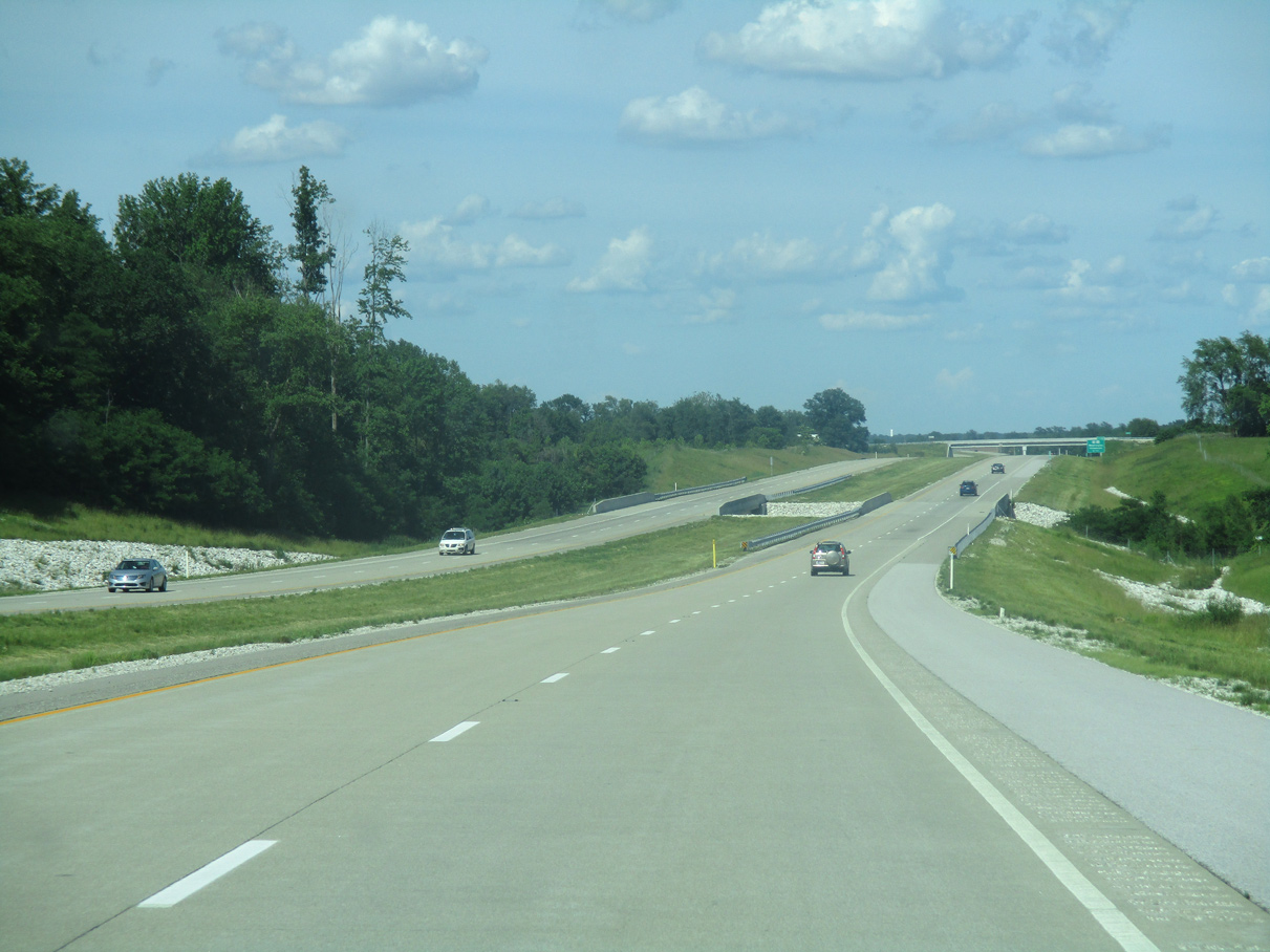
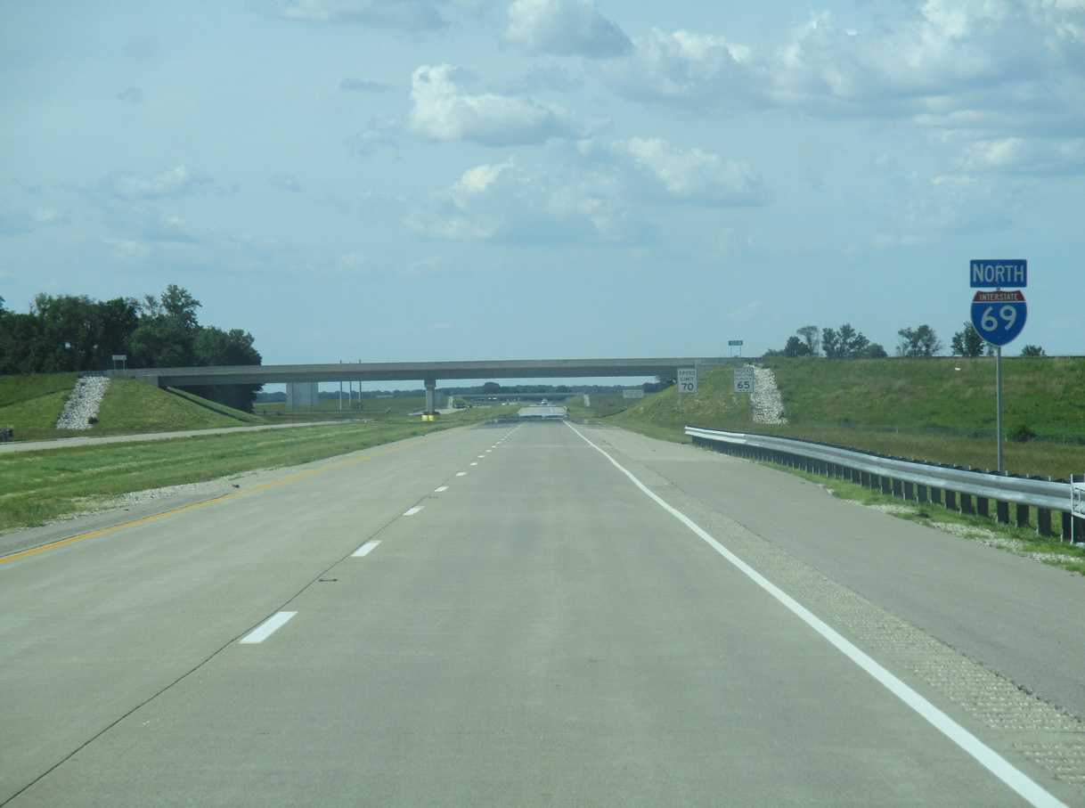
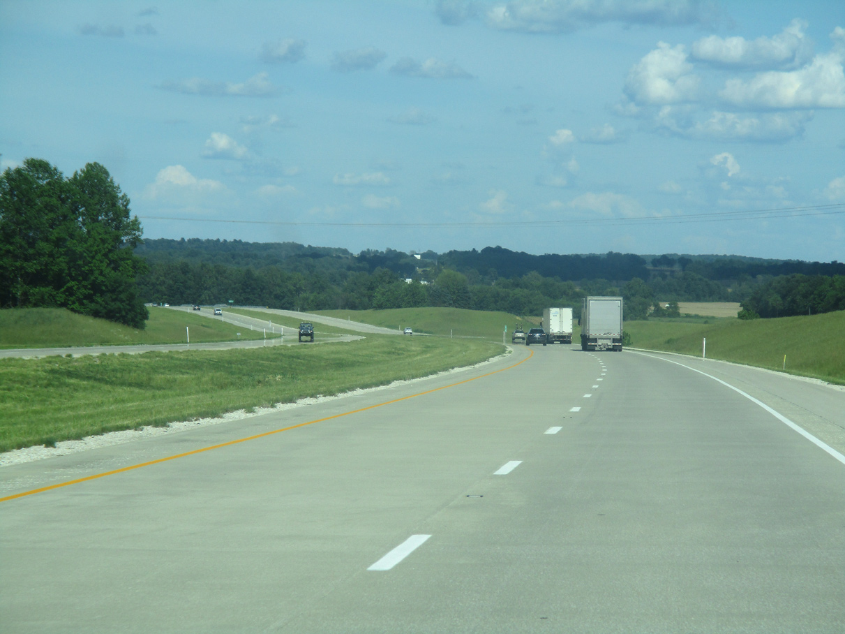
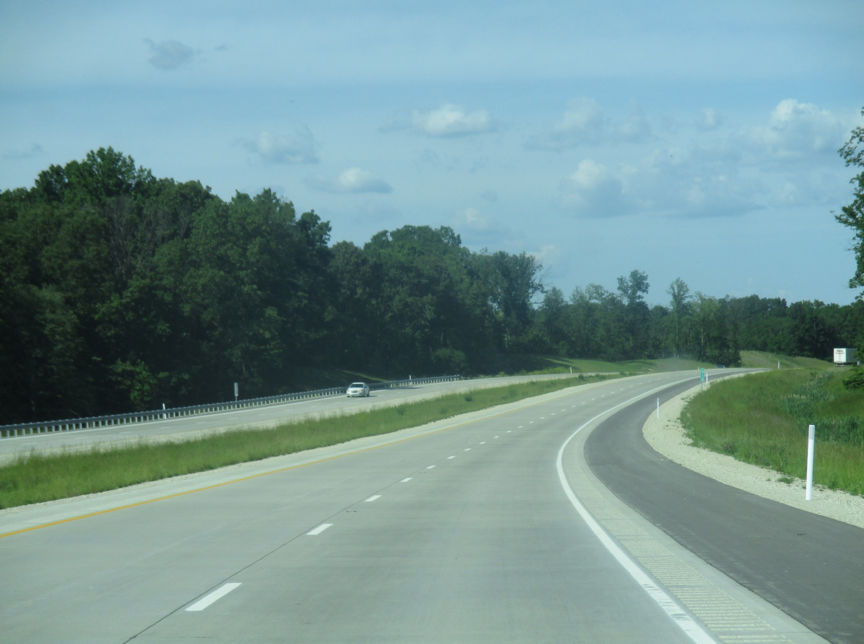
| North from U.S. 50/150, I-69 continues 25 miles to U.S. 231 near Crane and 52 miles to SR 37 (Exit 114) at Bloomington. Indianapolis is about one hour and 45 minutes away at a distance of about 105 miles. 05/30/16 |
|
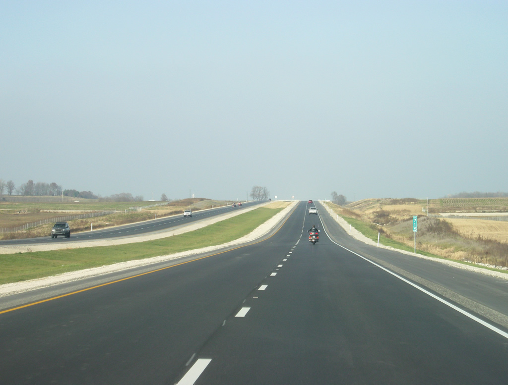
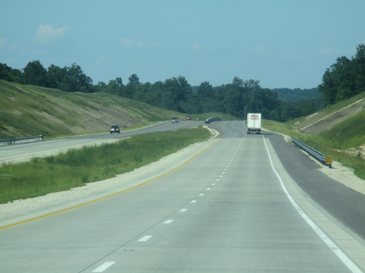
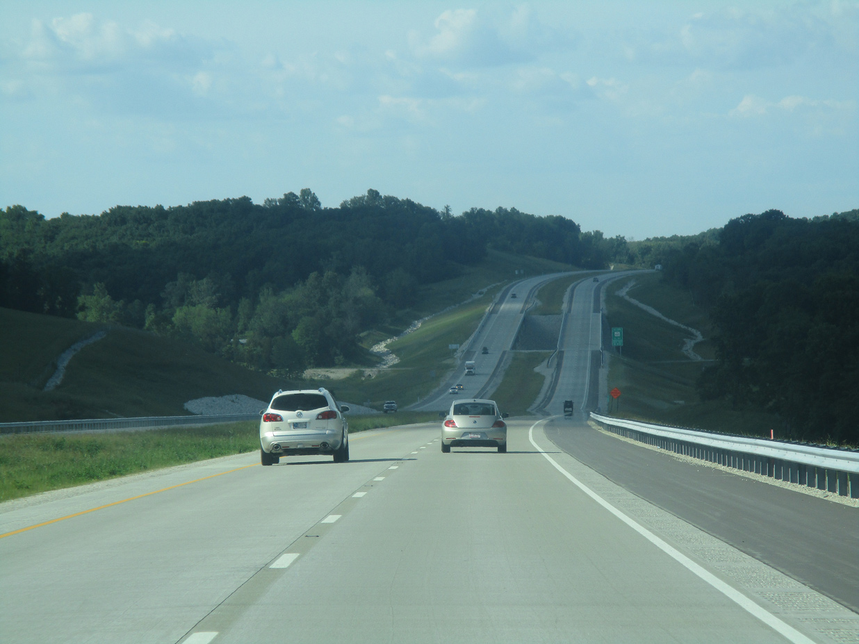
| Leading away from Washington on I-69 north, traffic is very light. Just 7,668 vehicles per day (vpd) were recorded by INDOT along the stretch preceding the South Fork of Prairie Creek in 2019. 05/30/16 |
|
| A transmission corridor crosses paths with Interstate 69 south of County Road 550 N to the east of Thousand Acre Woods. 11/21/12 |
|
| I-69 curves northeast again at the North Fork of Prairie Creek near Cornettsville. 05/30/16 |
|
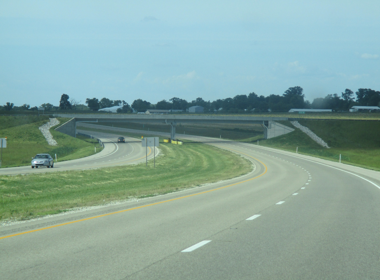
| I-69 resumes a northward course beyond the County Road 800 N overpass. This region of central Daviess County is very rural with gravel roads and a sizeable Amish population. 05/30/16, 11/21/12 |
|
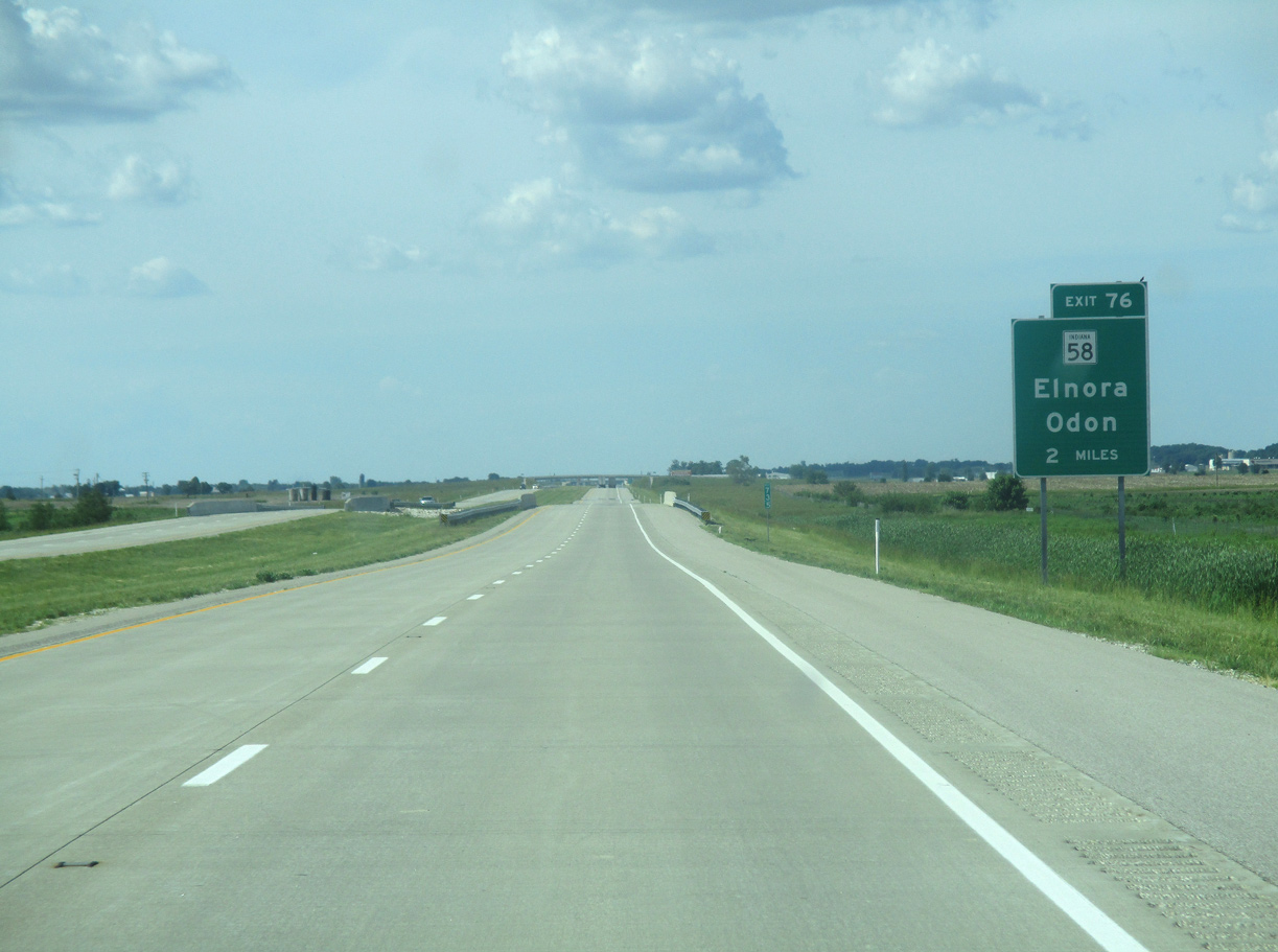
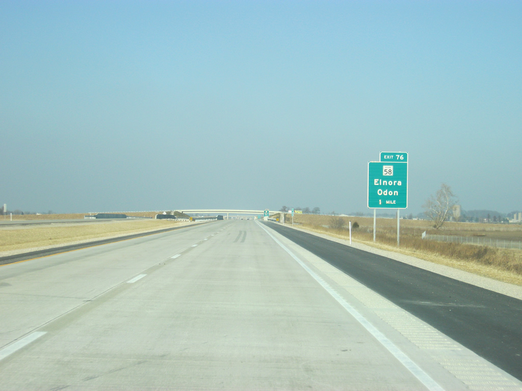
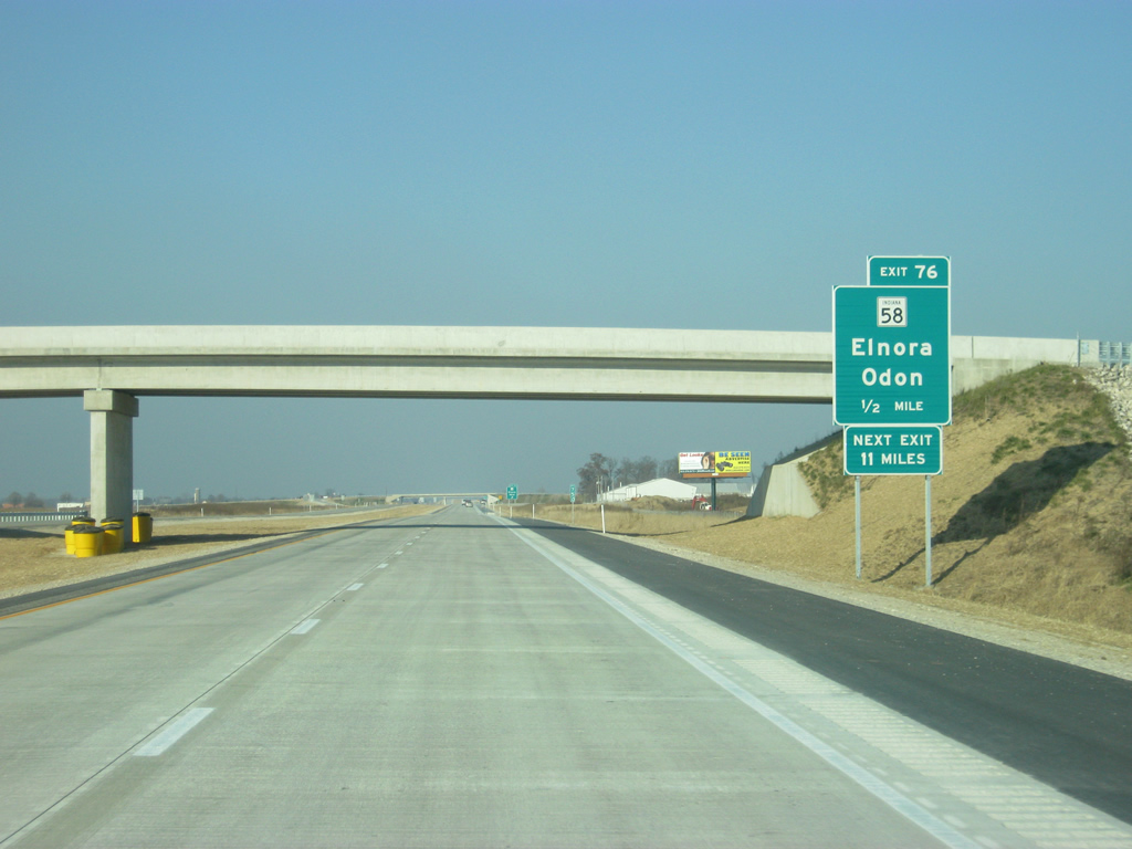
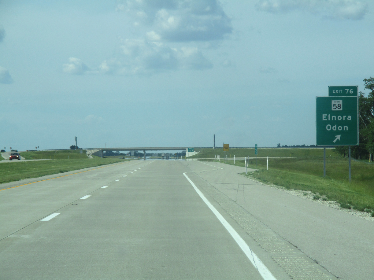
| Interstate 69 bee lines north two miles to a diamond interchange (Exit 76) with Indiana State Road 58. 05/30/16 |
|
| I-69 spans Smothers Creek one mile ahead of SR 58. The mile and half mile guide signs for Exit 76 were toppled by strong winds soon after the freeway had opened. 11/21/12 |
|
| SR 58 runs for 122 miles from Merom in Sullivan County east through Elnora, Odon and Bedford to I-65 outside of Columbus. 11/21/12 |
|
| Exit 76 parts ways from northbound Interstate 69 to SR 58. The town of Elnora lies 2.4 miles to the northwest while SR 58 reaches the Odon town limits 3.4 miles to the east. 05/30/16 |
|
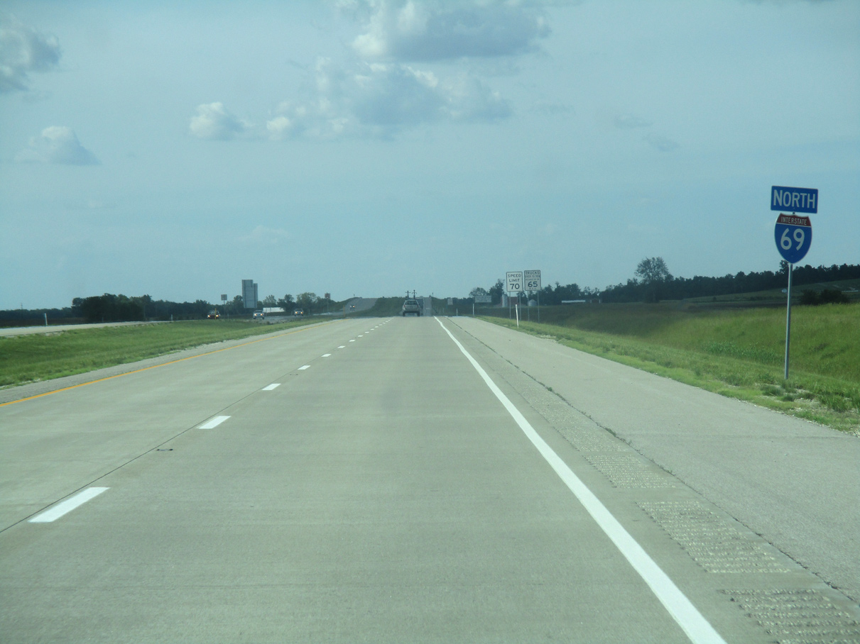
| Heading north from Exit 76, Interstate 69 is ten miles away from U.S. 231 and Crane. SR 37 near Bloomington is 38 miles away, followed by Indianapolis in 92 miles. 05/30/16 |
|
| Interstate 69 makes a turn to the east by the town of Elnora ahead of bridges over Vertrees Ditch and Grindstone Ditch. 05/30/16 |
|
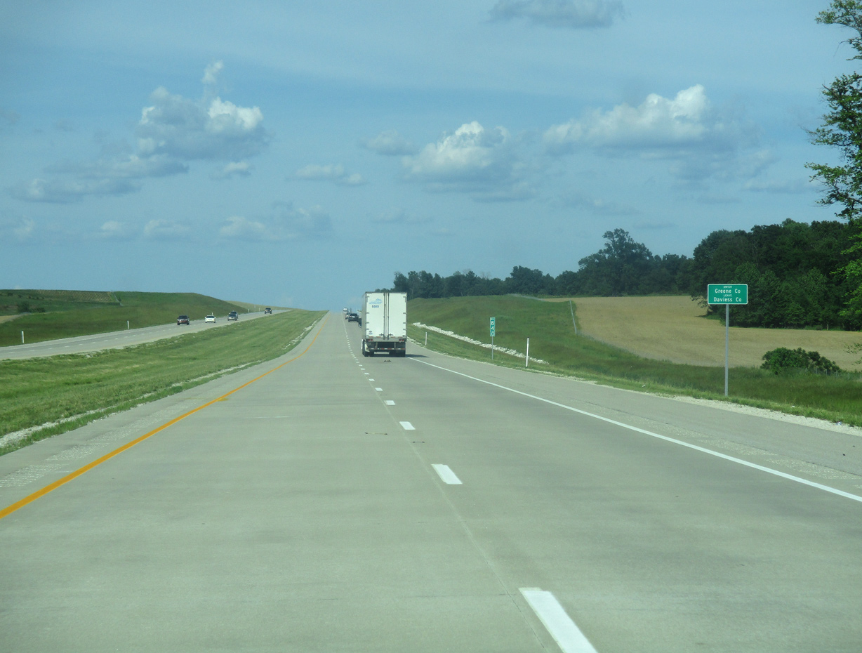
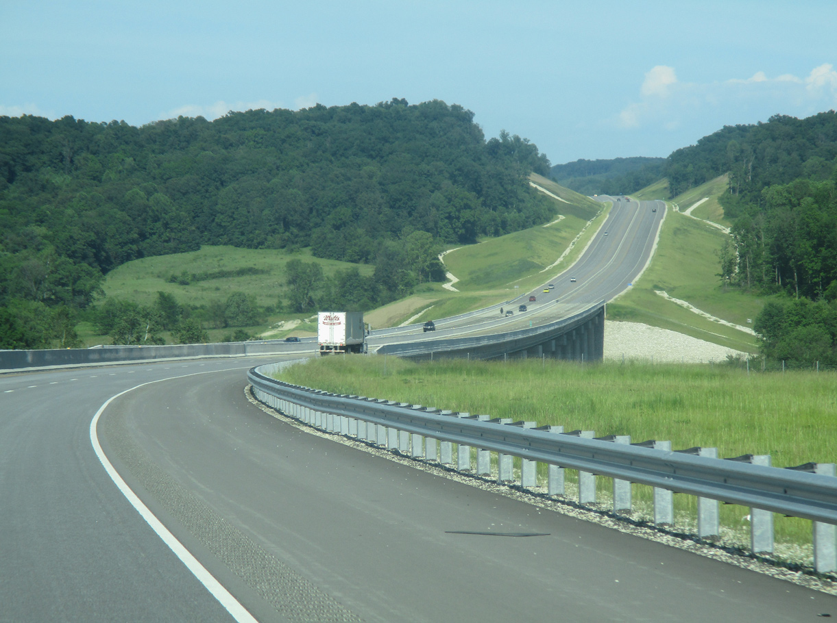
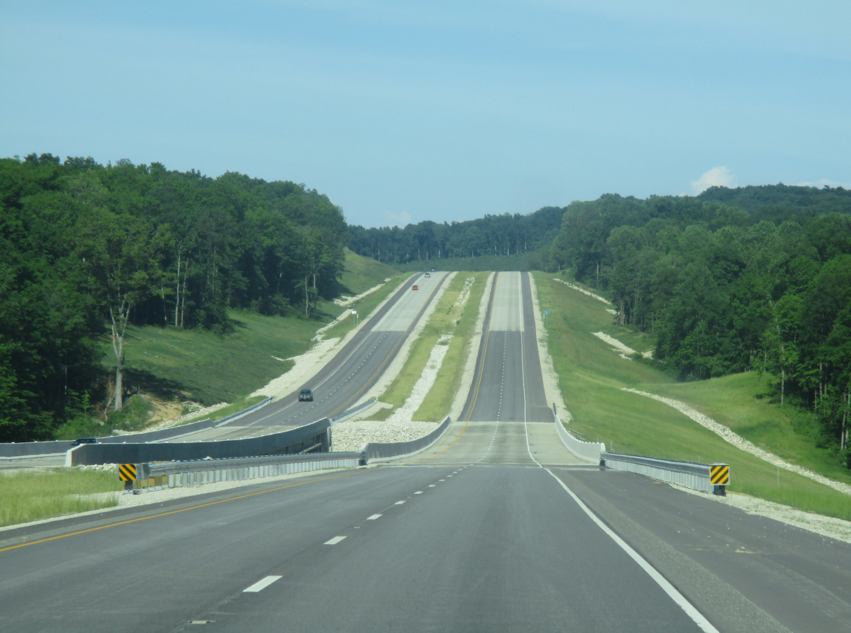
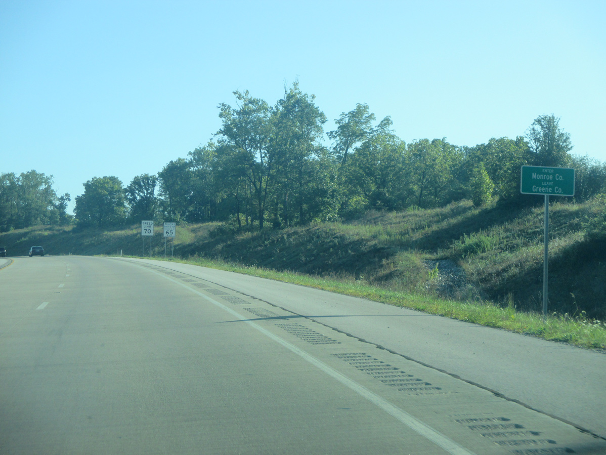
| Interstate 69 turns east parallel to the Greene County line from County Road 700 E. Until the completion of Section 4 in 2015 this was by far the lightest traveled part of Interstate 69 in southern Indiana, with traffic counts increasing from 4,037 vpd in 2014 to 7,784 in 2019. 05/30/16 |
|
| Spanning First Creek along Interstate 69 north. 12/19/15 |
|
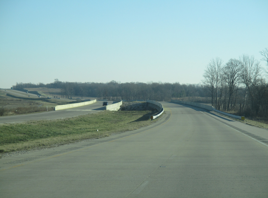
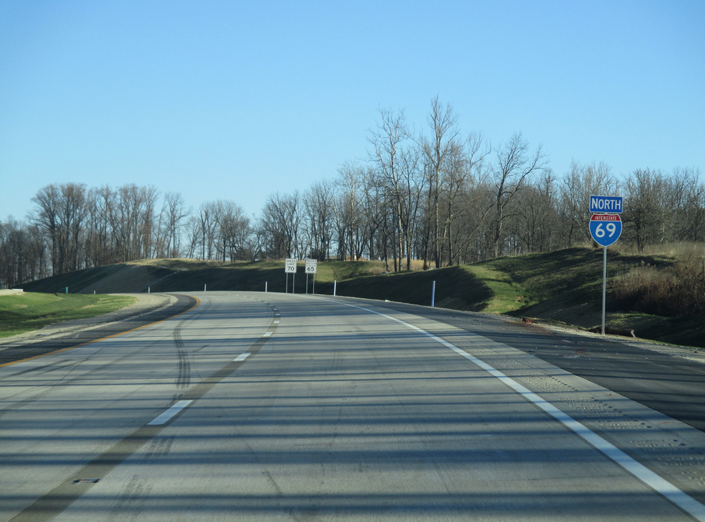
| Interstate 69 enters Greene County. Using the standards along non-interstate highways in Indiana, county line signs were added along the first three sections of I-69 between 2012 and 2015. 05/30/16 |
|
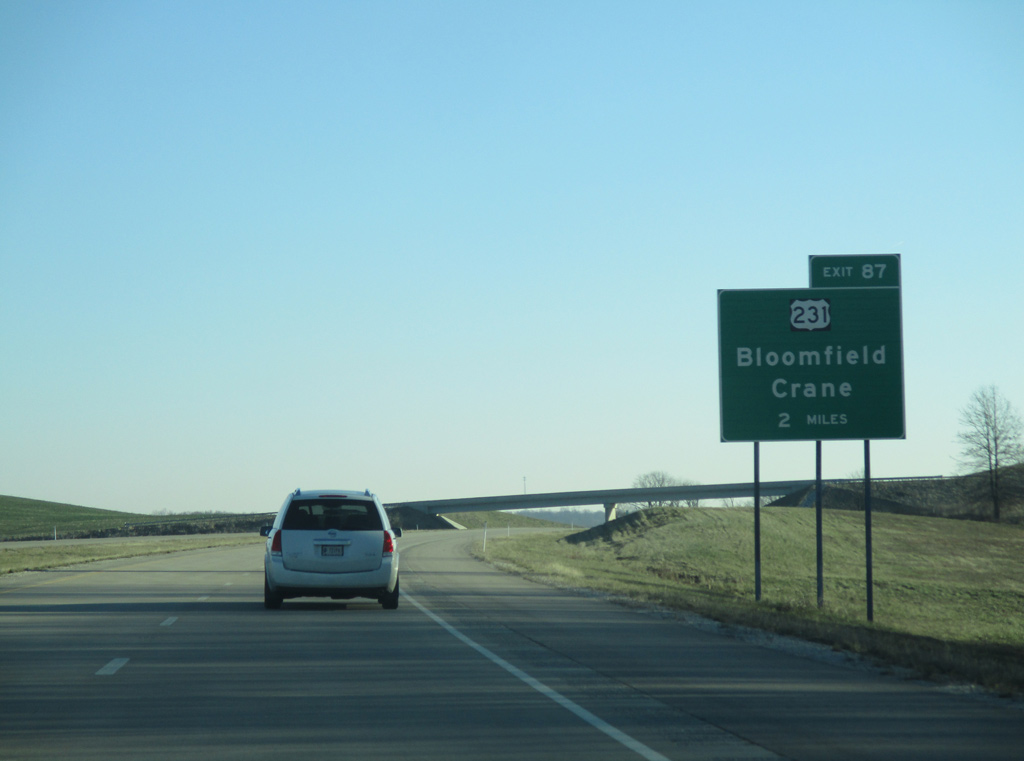
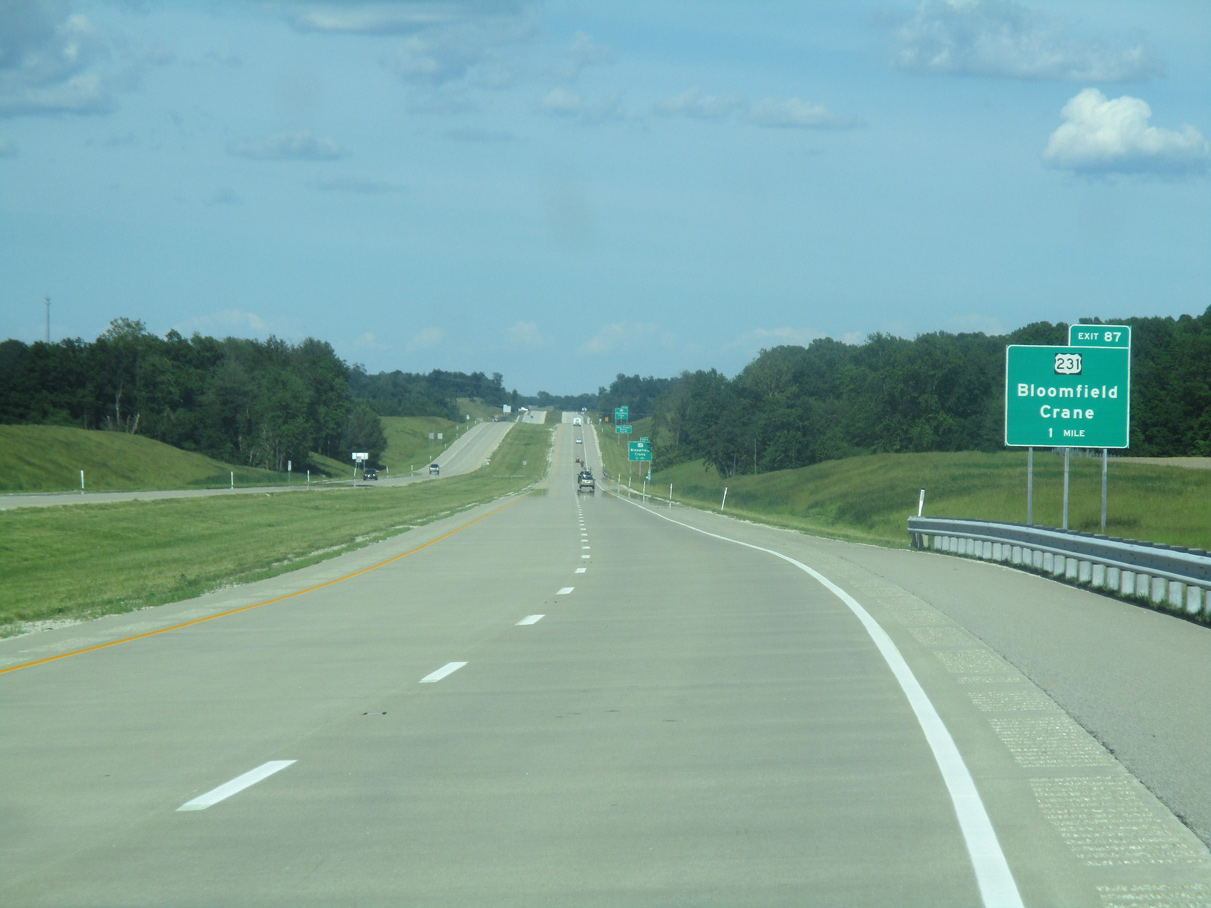
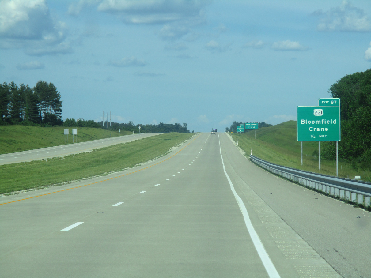
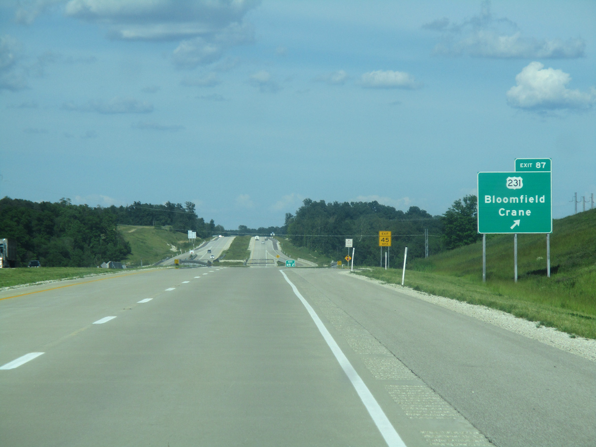
| I-69 ended at the diamond interchange (Exit 87) with U.S. 231 until December 9, 2015. 12/19/15 |
|
| Forthcoming U.S. 231 runs for 912 miles from U.S. 41 in St. John in Northwest Indiana south to U.S. 98 Business in Panama City, Florida. Within this part of Indiana, U.S. 231 is a busy highway from Bloomfield south toward Loogootee and Jasper. 05/30/16 |
|
| Traversing 297 miles in Indiana, U.S. 231 crosses the William Natcher Bridge near Rockport, and heads north through Huntingburg, Bloomfield, Spencer, Greencastle, Crawfordsville, Lafayette and Crown Point. 05/30/16 |
|
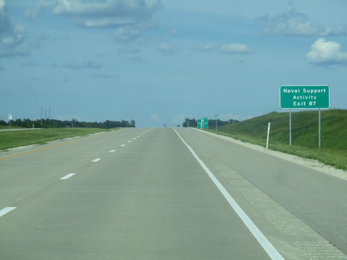
| U.S. 231 leads south to SR 558, which stems east to the town of Crane and the Crane Naval Support Center. Covering most of northern Martin County, the base is a major employer in this part of the state and was among the main reasons for building Interstate 69 through this area. 05/30/16 |
|
| The Greene County seat of Bloomfield is eight miles to the north from Exit 87 along U.S. 231. Due in part to the Doans Creek, this exchange is a tight diamond interchange with ramps located close to the freeway. 05/30/16 |
|
| Trending northward from Exit 87, Interstate 69 is 11 miles away from SR 45 (Exit 98) and 27 miles away from SR 37 in Bloomington. Indianapolis via I-69 and SR 37 is 80 miles away. 05/30/16 |
|
| Interstate 69 crosses over Stone Road just north of the community of Scotland as it leads away from U.S. 231. 05/30/16 |
|
| Opened to traffic on December 9, 2015, Section 4 of Interstate 69 replaced a series of winding two lane highways from U.S. 231 to SR 37. The freeway generally follows the route of SR 45 from Crane to Bloomington through more hillier topography. 05/30/16 |
|
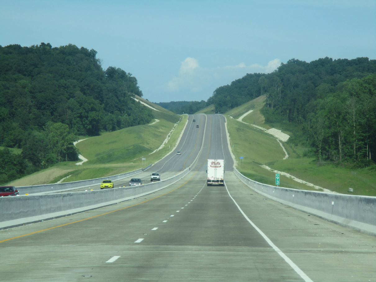
| Rural southern Greene County is part of the Crawford Upland, a hilly area marked by karst topography for which the Bloomington area is well known. Section 4 of I-69 took three years to complete in part due to this terrain. 05/30/16 |
|
| A barrier median separates the roadways along I-69 as it crosses over Black Ankle Creek and County Road 600 E. 05/30/16 |
|
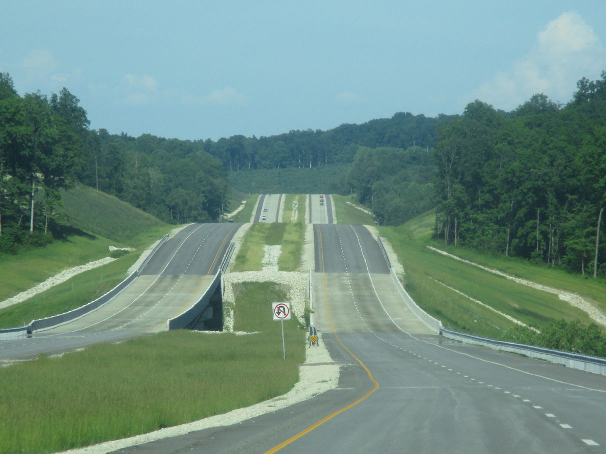
| Interstate 69 undulates over a series of hills east from Hard Scrabble Ridge, spanning Dry Branch and County Road 750E. 05/30/16 |
|
| Interstate 69 crosses over Plummer Creek and County Road 360 S (Mineral-Koleen Road). 05/30/16 |
|
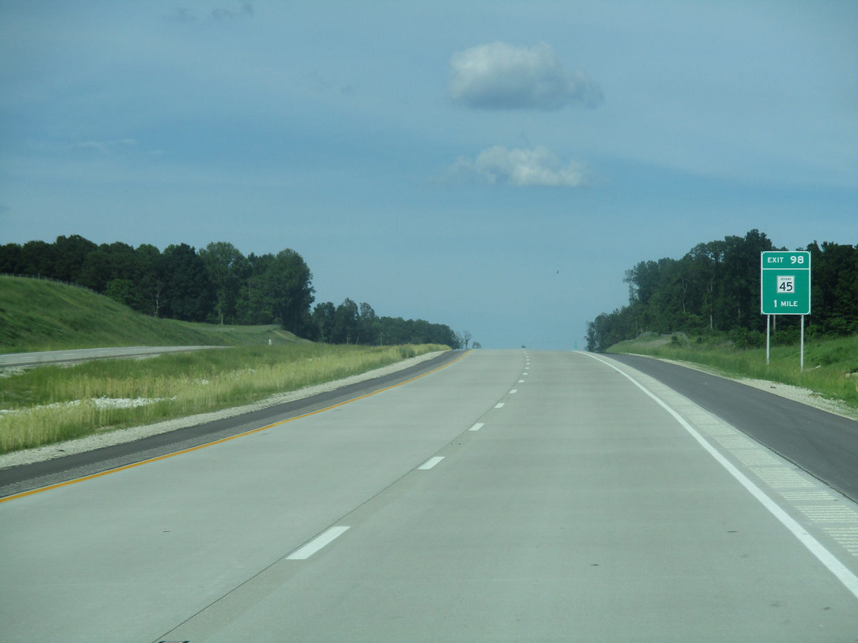
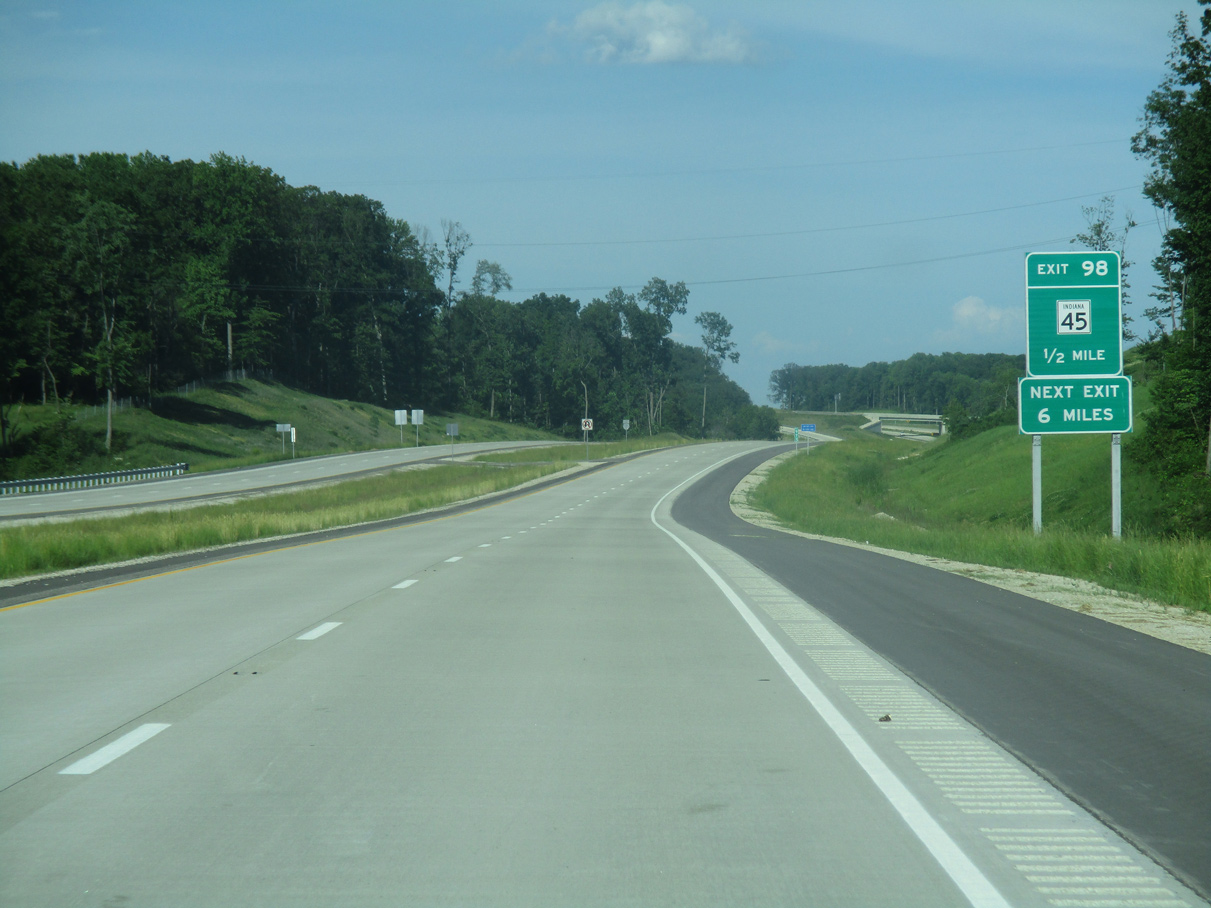
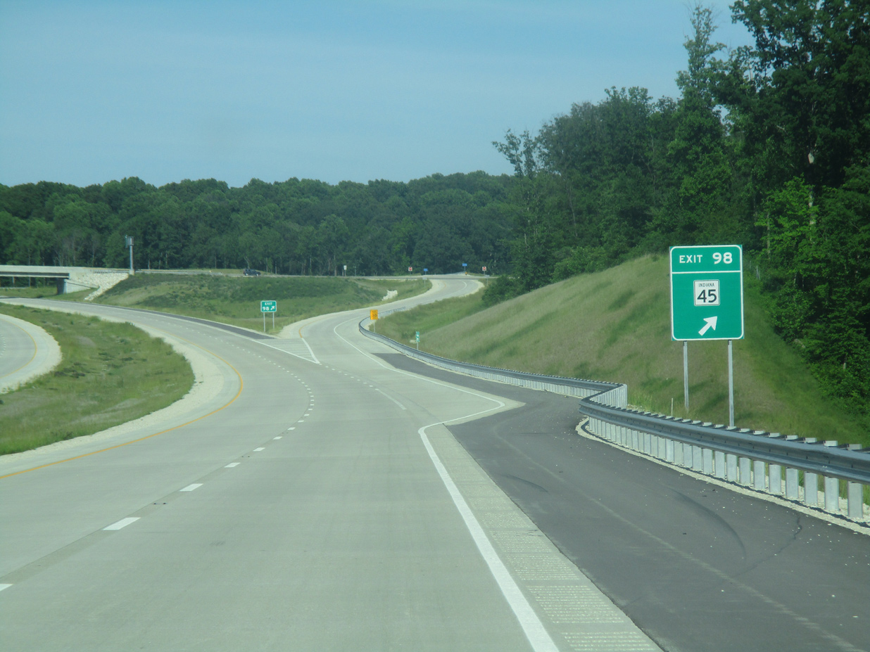
| Interstate 69 converges with SR 45 at a diamond interchange (Exit 98) in one mile. SR 45 and the succeeding exit for SR 445 are not signed with control points due to the sparse population of this rural region. 05/30/16 |
|
| A 56 mile long highway, State Road 45 stems east from U.S. 231, just south of Exit 87, to SR 58. The route turns north to I-69 en route to Bloomington. SR 45 ends to the northeast at SR 135 at Beanblossom in Brown County. 05/30/16 |
|
| Located 4.2 miles north of SR 58 near the small town of Owensburg, and 3.3 miles south of SR 54 near Cincinnati, Exit 98 mostly serves local traffic. 05/30/16 |
|
| Interstate 69 gradually turns north, passing east of Cincinnati on the six mile drove to SR 445. Section 4 extends another 16 miles to SR 37 at Bloomington. 05/30/16 |
|
| Northbound Interstate 69 next spans Mitchell Branch. 05/30/16 |
|
| Interstate 69 passes over SR 54 south of Hobbieville. Along with SR 257 and SR 358, SR 54 is the third state road without access along the freeway northbound. 05/30/16 |
|
| Passing east of Hobbieville, Interstate 69 runs north paralleling the southwestern corner of Monroe County. 12/19/15 |
|
| Crossing over Carmichael Road, Interstate 69 lowers into a valley fed by Indian Creek. 05/30/16 |
|
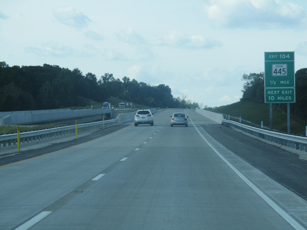
| Upcoming SR 445 is a 2.9 mile long highway that was previously just a connector between SR 45 and SR 54 in the Cincinnati area. The state road was extended east to link those routes with Interstate 69. 05/30/16 |
|
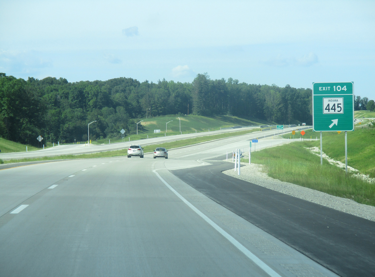
| SR 445 ties into Interstate 69 at a dogbone interchange (Exit 104). SR 445 over doubled in length when it opened east along with Section 4 of Interstate 69. 05/30/16 |
|
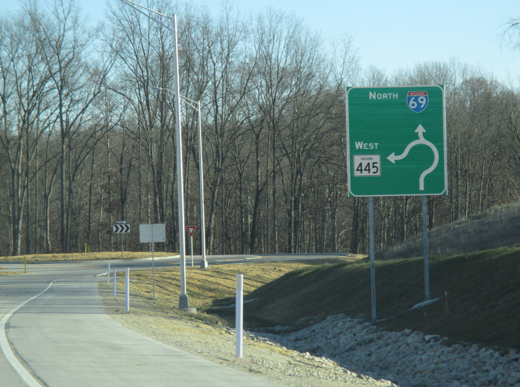
| SR 445 leads 1.6 miles west from Exit 104 to SR 45 north of Cincinnati. 12/19/15 |
|
| Interstate 69 winds northeast from Exit 104 ten miles to SR 37. The city center of Bloomington is 16 miles away. Indianapolis is 65 miles to the northeast. 12/19/15 |
|
| Curving eastward, I-69 enters Monroe County. Home to Bloomington and Indiana University, the politics involving Interstate 69 through the region were contentious with many proponents both in favor and against the highway's construction. 05/30/16 |
Page Updated 05-09-2020.

 North
North