Only signed north of the Baltimore city line, Maryland Route 41 follows all of Perring Parkway south from Waltham Woods Road in Baltimore County to Hillen Road. Hillen Road carries unsigned MD 41 southward to MD 147 (Hillen Road) at Clifton Park within the city.
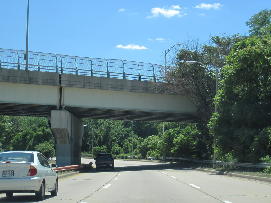
Perring Parkway constitutes a four to six-lane controlled access arterial southward from Interstate 695 (Exit 30) to Belvedere and Echodale Avenues.
|
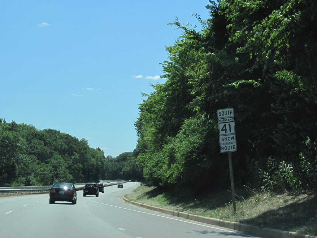
| Southbound reassurance shield posted for MD 41 along Perring Parkway between Putty Hill Road and Taylor Avenue near Hillendale Park. 07/02/10 |
|
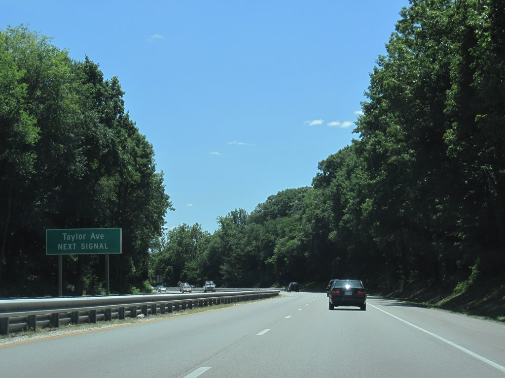
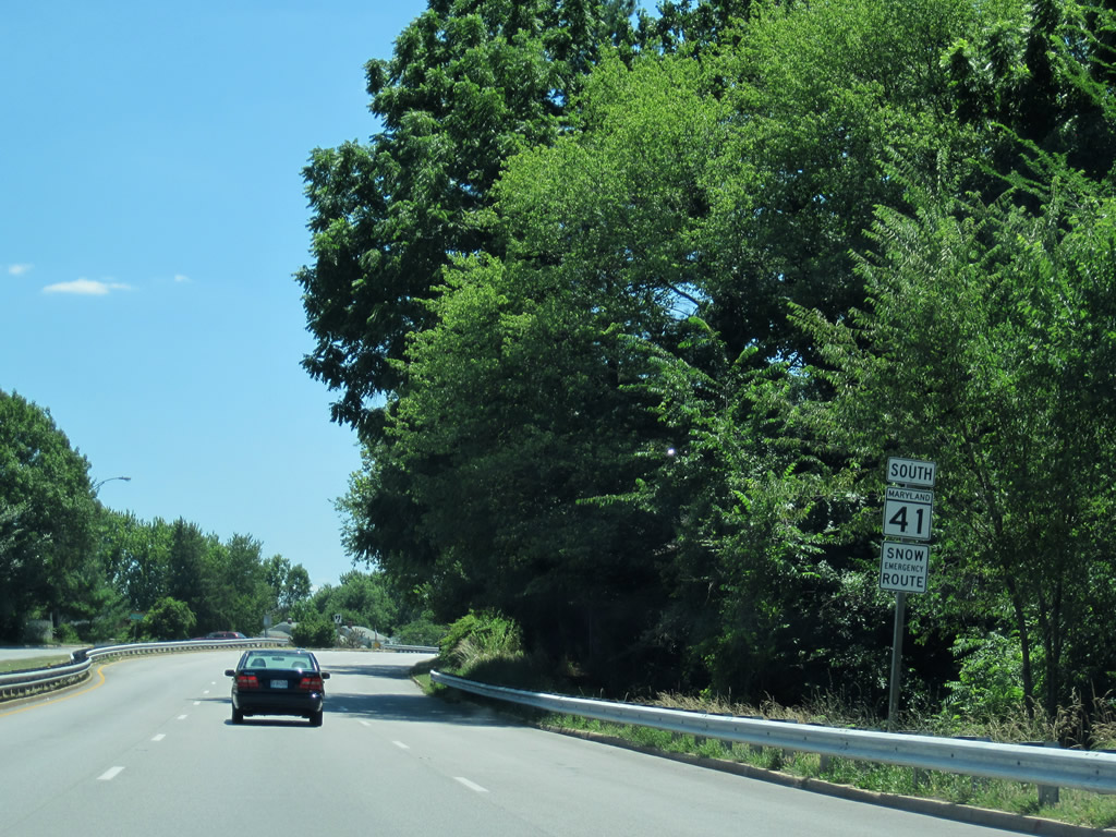
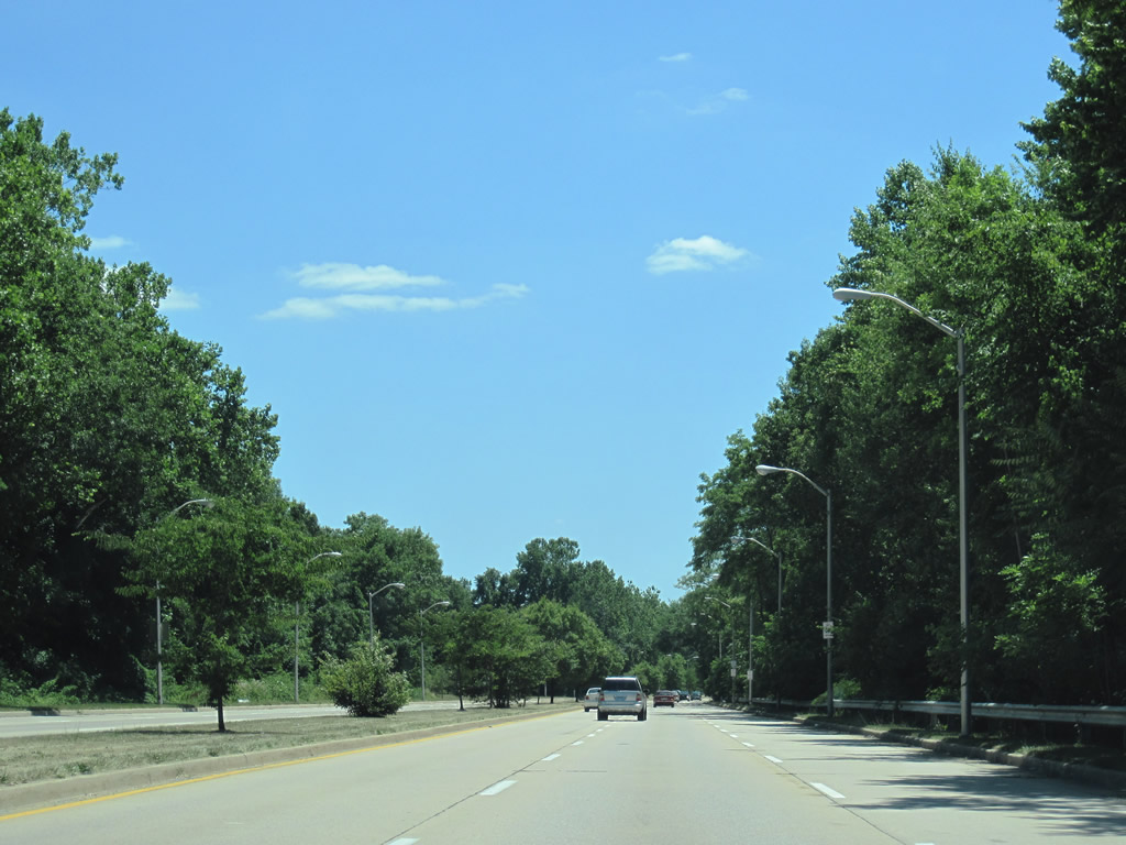
| A forested swath represents the landscape of Perring Parkway southward from Interstate 695 to the Baltimore city line. Beyond the trees are older subdivisions along the approach to Taylor Avenue. 07/02/10 |
|
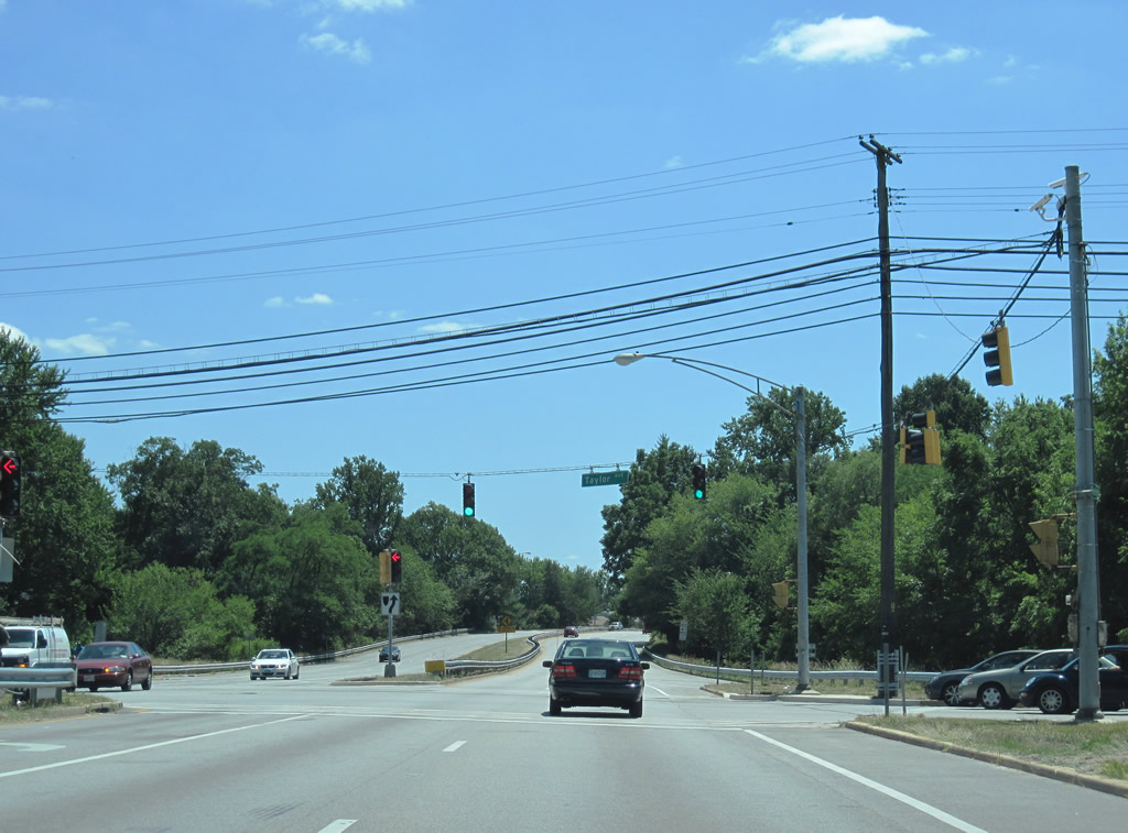
| Taylor Avenue extends outward from Baltimore city through Parkville to a signalized intersection with MD 41 (Perring Parkway) at Harford Park. Westward, the road widens into a divided arterial at Lock Raven Village. 07/02/10 |
|
| MD 41 bisects the Harford Park subdivisions on its westward curve toward the city line. 07/02/10 |
|
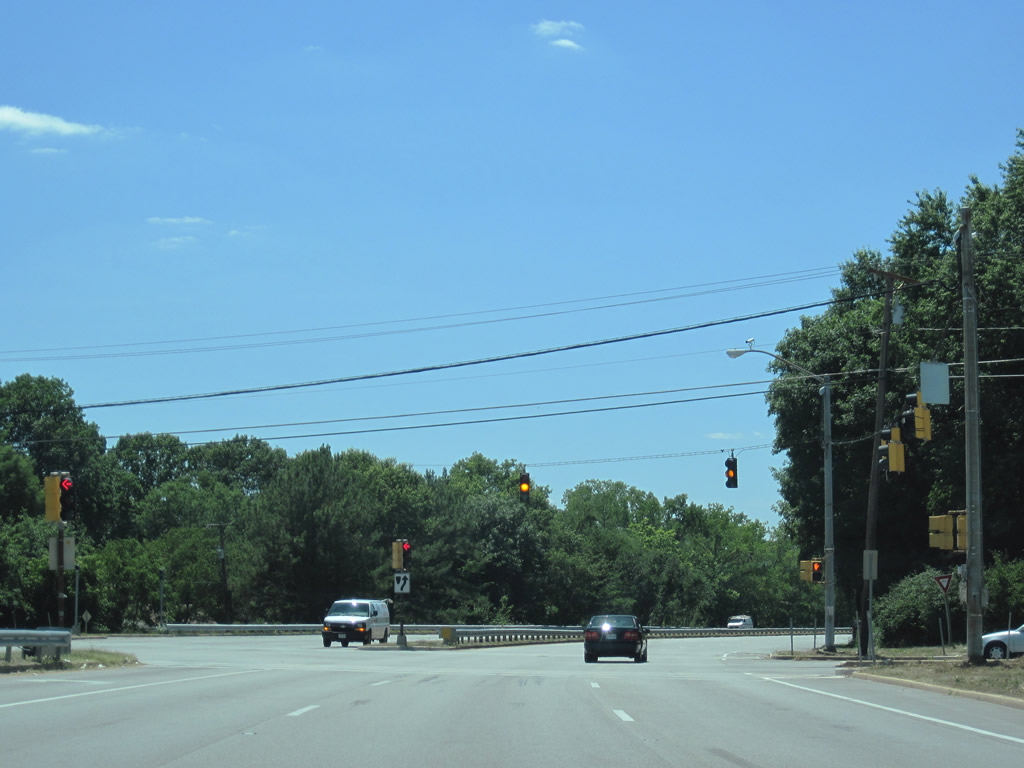
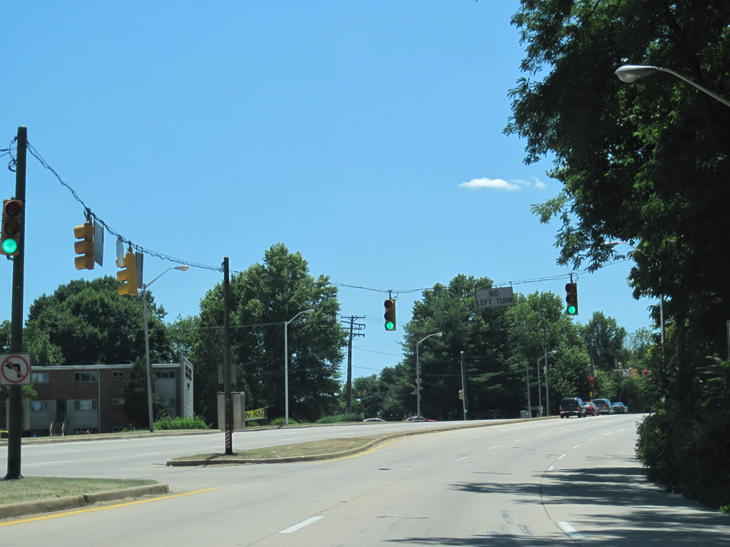
| The next set of signals hang above the intersection of MD 41 (Perring Parkway) and Oakleigh Road. Oakleigh Road enters Baltimore as Moore Avenue and travels north to Joppa Road opposite Interstate 695. 07/02/10 |
|
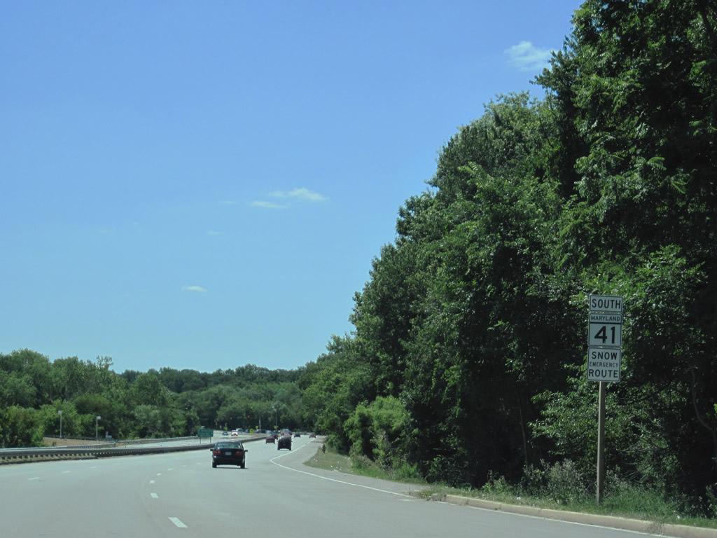
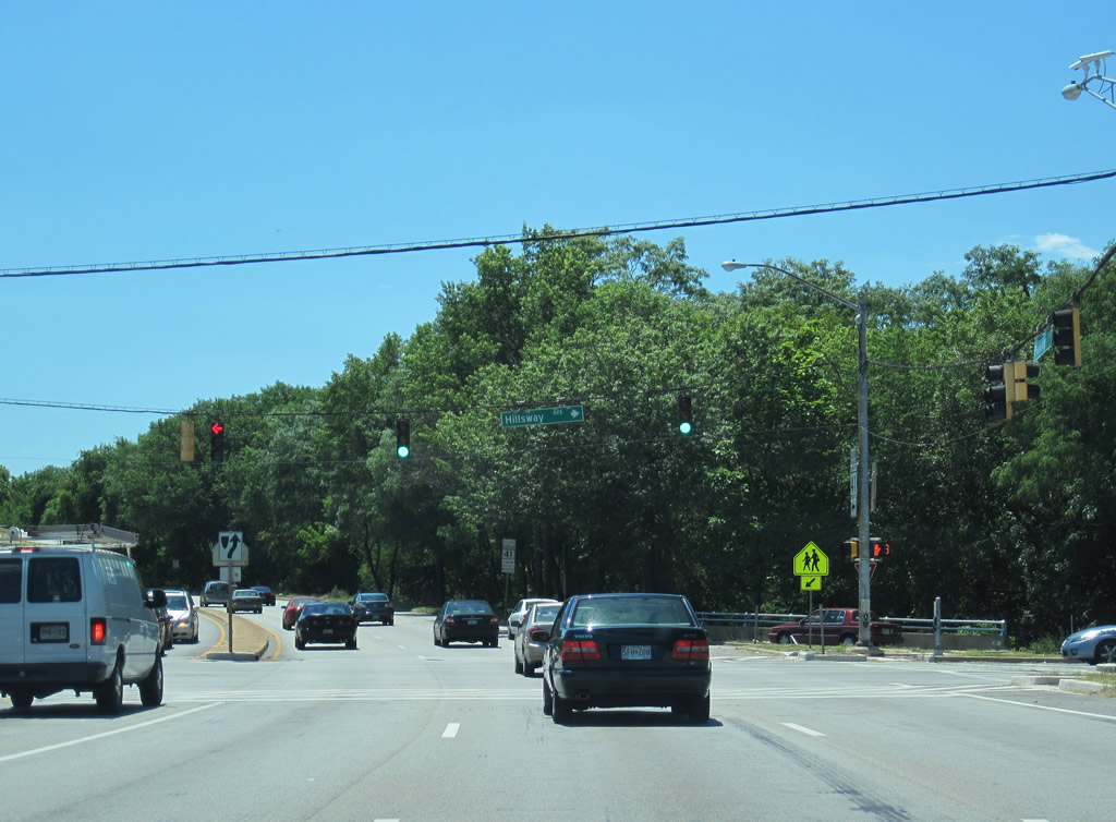
| A shield posted for MD 41 south lies along Perring Parkway west between Oakleigh Road and Hillsway Avenue. A shopping center lines parallel Cleanleigh Drive on the south side of the six lane roadway. 07/02/10 |
|
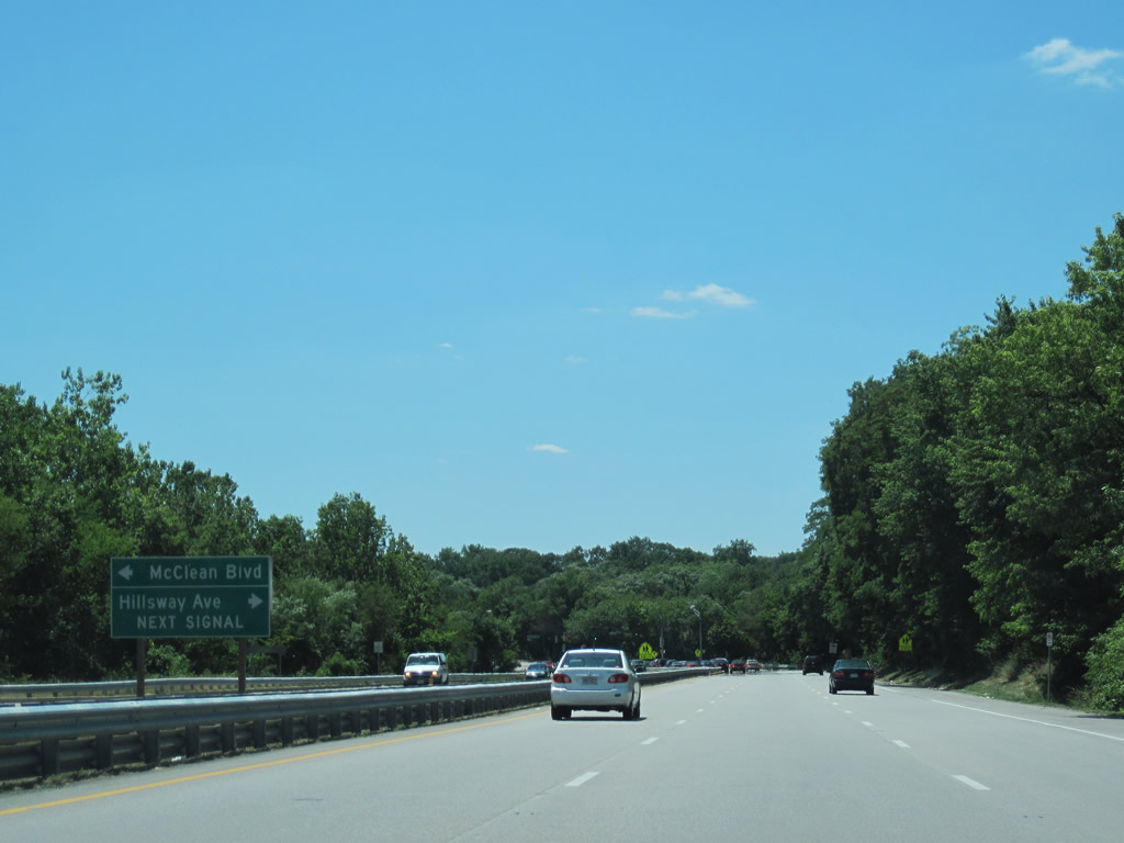
| Hillsway Avenue becomes McLean Boulevard south of MD 41 (Perring Parkway) en route to Morgan Heights and Woodbourne Avenue in the city of Baltimore. 07/02/10 |
|
| Hillsway Avenue connects Perring Parkway with Taylor Avenue through the Hillendale community. 07/02/10 |
|
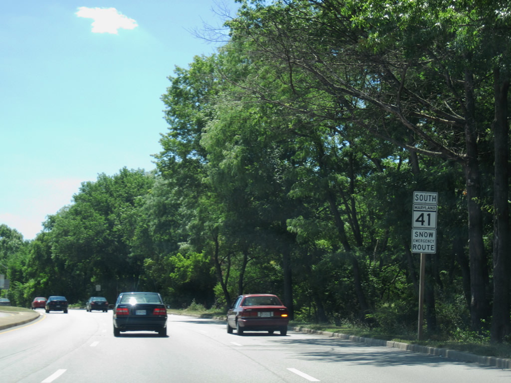
| MD 41 turns southward again and parallels Herring Run along Mount Pleasant Park into Baltimore. This image looks at the final shield of the state route. 07/02/10 |
|
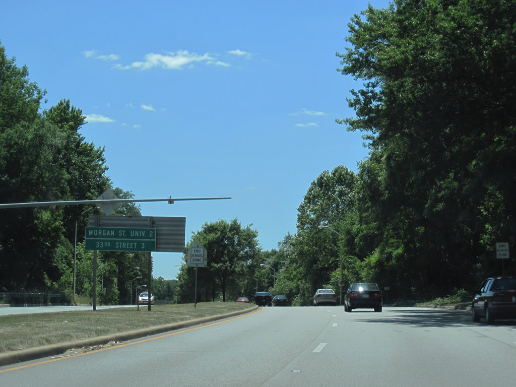
| An end state maintenance sign lies at the Baltimore city line. MD 41 remains on most maps and in state highway GIS data to MD 147 however. This view looks at a southbound distance sign listing the distances to Morgan State University and 33rd Street. 07/02/10 |
|
| Just south of the county line, Perring Parkway (unsigned MD 41) sees a westbound off-ramp to Northern Parkway. Northern Parkway straddles the north side of Baltimore between the Belgravia, Govanstown and Mount Washington neighborhoods. 07/02/10 |
|
| The southbound to westbound ramp is the only direct connection between the two parkways. Motorist otherwise must use McLean Boulevard or Crozier Drive onto parallel Pioneer Drive to make the remaining connections. 07/02/10 |
|
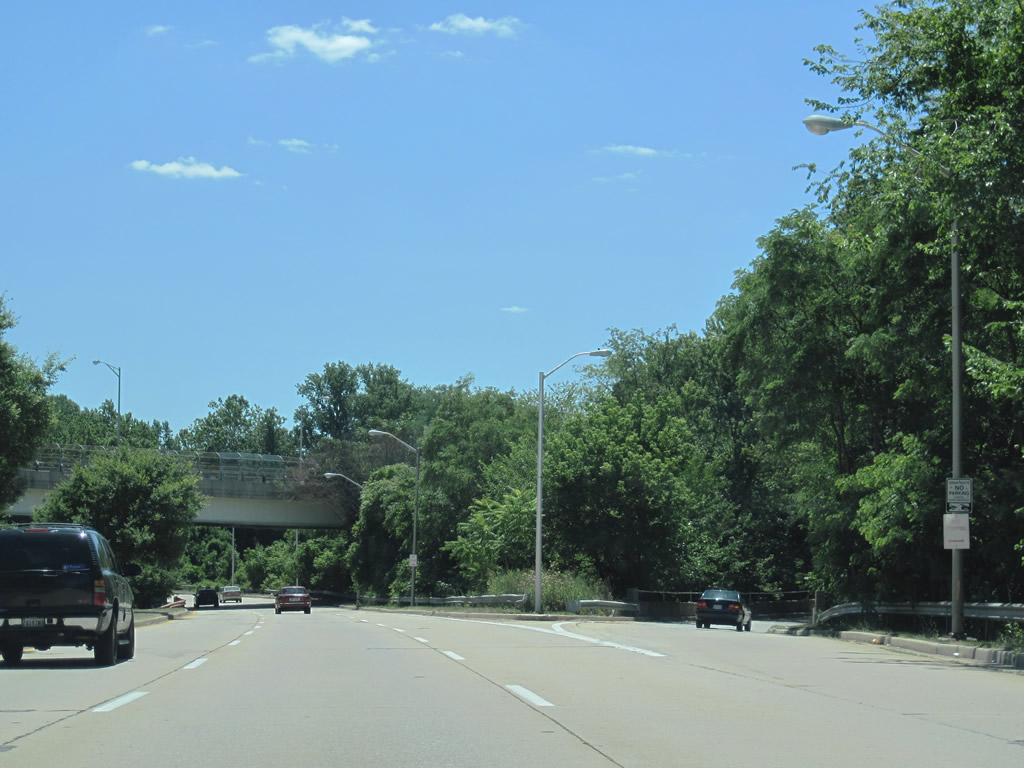
| Unsigned MD 41 continues southward along both Mount Pleasant Park and Herring Run relatively uninterrupted. 07/02/10 |
|
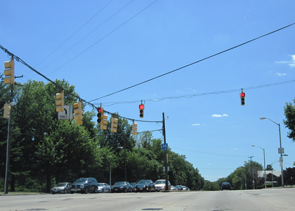
| Woodbourne Avenue ties into Perring Parkway from the Morgan Heights community east of MD 41 at this traffic light. Woodbourne Avenue resumes west of Perring Parkway and south of Belvedere Avenue to Kenilworth Park 07/02/10 |
|
| Southbound Perring Parkway at the signalized intersection with Belvedere Avenue west to Ramblewood and Echodale Avenue east to Lauraville. The parkway becomes more residential in nature from here southward, thus the speed limit reduces to 35 mph. 07/02/10 |
|
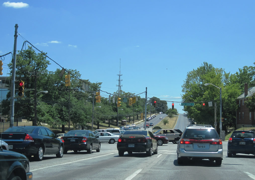
| Perring Parkway transitions into Hillen Road at the crossing over Chinquapin Run. Hillen Road continues MD 41 as a divided arterial to 33rd Street.
Pictured here is the intersection with Cold Spring Lane adjacent to the campus of Morgan State University. Cold Spring Lane winds eastward to Montebello Park and west to Evergreen, Melvale, and Arlington. 07/02/10 |
Page Updated 07-28-2010.