West Virginia Route 43 opened to traffic on July 11, 2011 between the Pennsylvania state line and Interstate 68 by Cheat Lake. The freeway in Monogalia County is the southernmost portion of the Mon-Fayette Expressway leading north to Uniontown and Jefferson Hills, Pennsylvania. The Pennsylvania portion is a toll road (PA 43) while the West Virginia portion is a free road.
Traveling 3.9 miles in the Mountain State, WV 43 cost $148.4 million to build, with $13.4 million coming from the American Recovery and Reinvestment Act (ARRA). Two high level bridges (Morgans Run Bridge and Rubles Run Bridge) represented $42.2 million of the total cost.1
The Pennsylvania portion of the Mon-Fayette Expressway leading to West Virginia was completed by March 1, 2000, but only opened northward from Exit 2 until the 2011 completion of WV 43.2
|
| Merging onto WV 43 (Mon-Fayette Expressway) north from Interstate 68 west. A guide sign resides on the ramp for the upcoming folded diamond interchange (Exit 1) with County Route 69/14 to CR 857 (Fairchance Road). CR 857 originally connected with I-68 via CR 69. 06/24/12 |
|
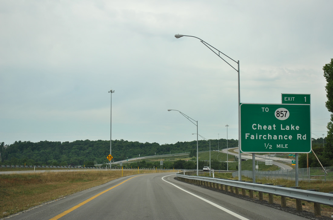
| Three lanes lead north from Interstate 68 and CR 69/19 from Ices Ferry to Exit 1. CR 857 follows Fairchance Road east from WV 43 and Cheat Lake to Cheat Neck and Springhill, Pennsylvania. 06/24/12 |
|
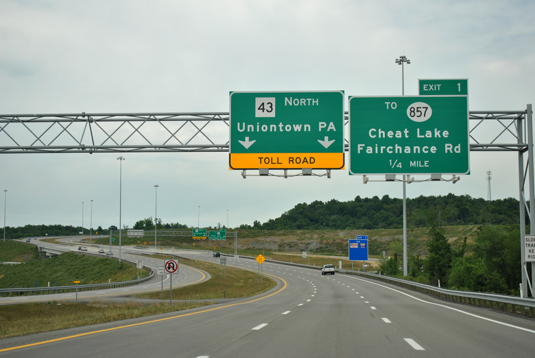
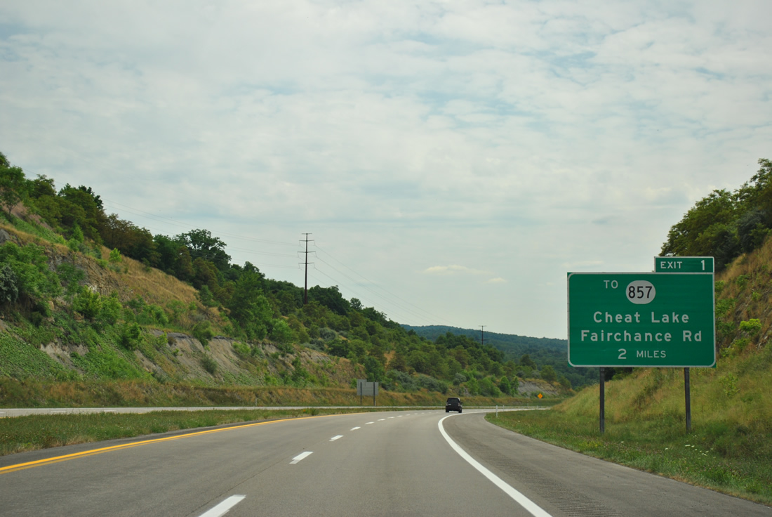
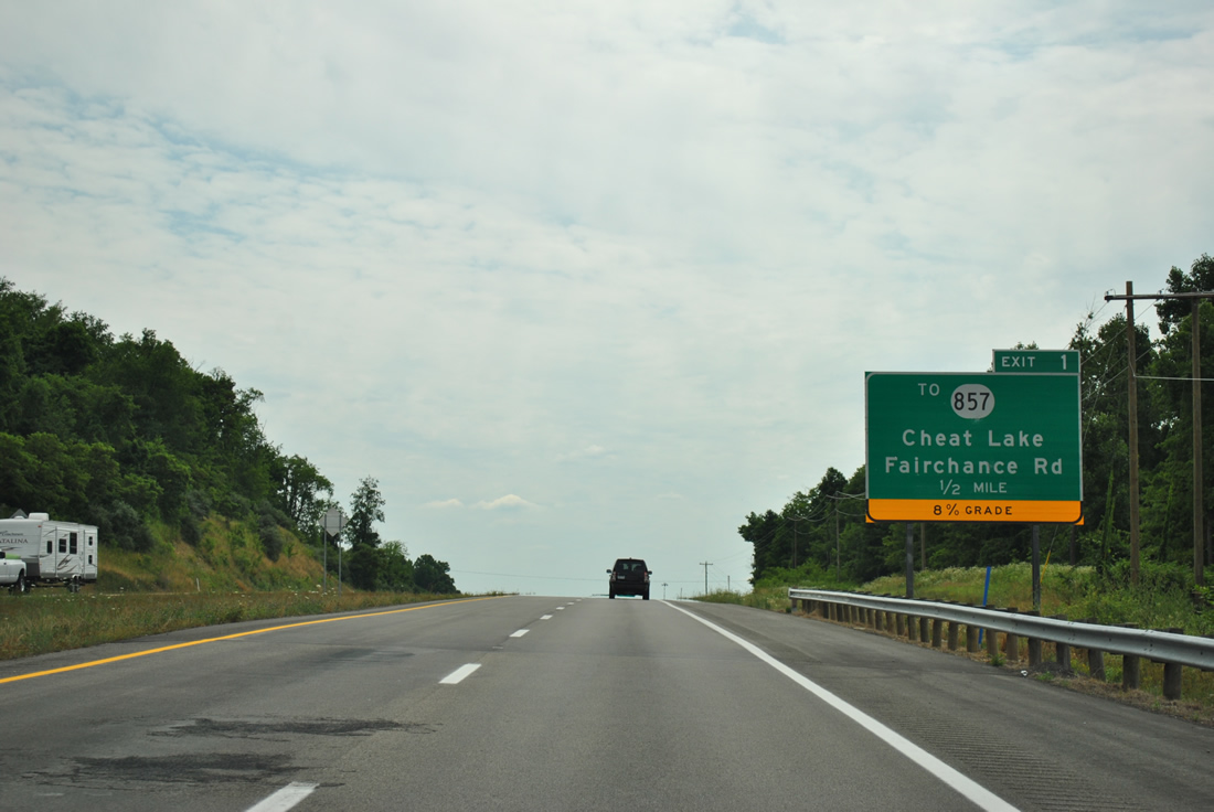
| Exit 1 provides the connection between the Lakeview Golf Course area and County Route 857 (Fairchance Road) via CR 69/14. Fairchance Road passes under the Mon-Fayette Expressway to become Cheat Road west to Pierpont and Morgantown.
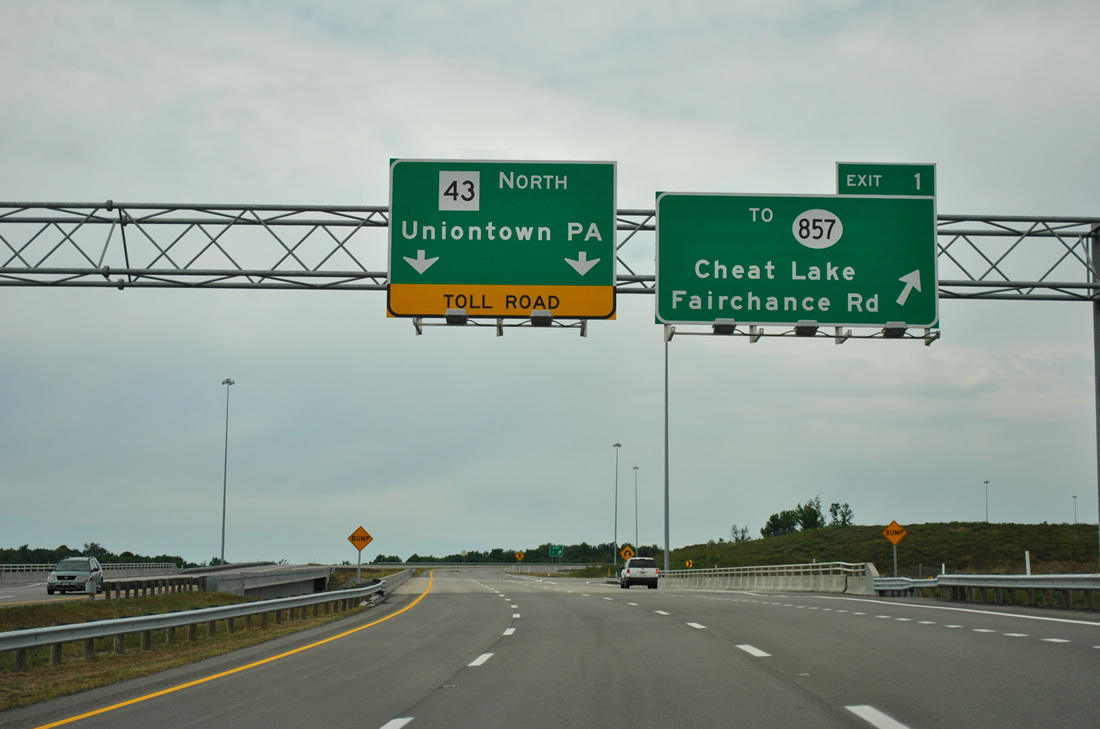
Motorists remaining on WV 43 north continue to Pennsylvania. The road is untolled in the Mountain State despite the "TOLL ROAD" reference here. 06/24/12 |
|
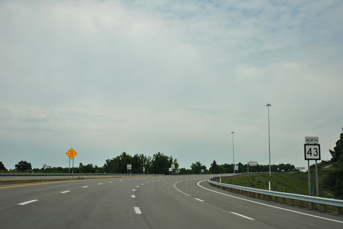
| The first and only shield assembly posted for WV 43 on the Mon-Fayette Expressway follows the on-ramp from CR 69/14. 06/24/12 |
|
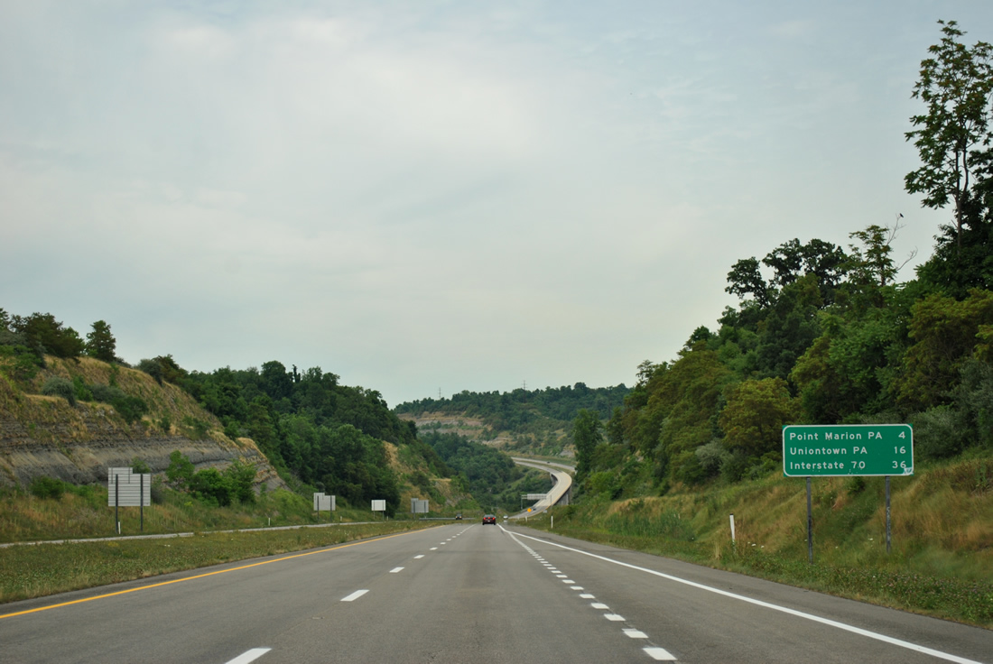
| A typical WVDOT distance sign with three destinations lists the distances to Point Marion (via Exit 2) in four miles, Uniontown in 16 miles, and Interstate 70 in 36 miles. 06/24/12 |
|
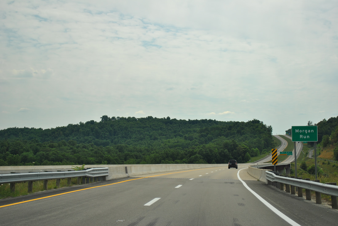
| The first of two sets of high level bridges on WV 43 passes high above Morgan Run to the east of Cheat Lake. This set of spans cost $22.5 million to construct.1 06/24/12 |
|
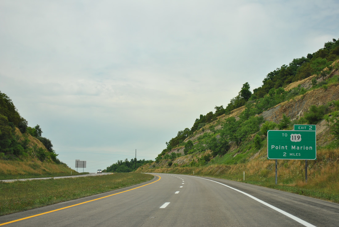
| The first interchange along the Mon-Fayette Expressway in the Keystone State joins PA 43 with Gans Road near Springhill. The exit is signed as a connection to U.S. 119 for interests to Point Marion. Gans Road intersects U.S. 119 at Morris Crossroads, three miles to the west. 06/24/12 |
|
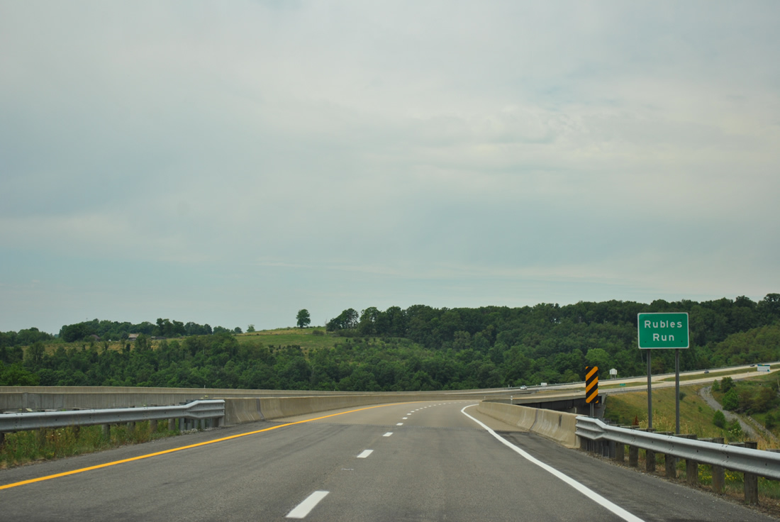
| WV 43 crosses a valley fed by Rubles Run on the second set of high level bridges in Monogalia County. This span was constructed at a cost of $19.7 million.1 06/24/12 |
|
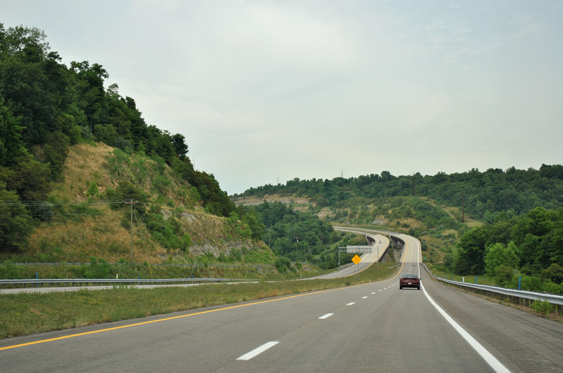
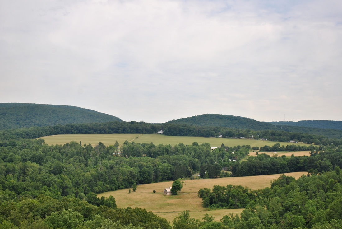
| Pastoral scenery unfolds as WV 43 nears the state line. Chestnut Ridge rises east of the agricultural fields along CR 857 (Fairchance Road). 06/24/12 |
|
| WV 43 becomes Pennsylvania Turnpike 43 just beyond the north end of the Rubes Run Bridge. The initial stretch of Mon-Fayette Expressway in Fayette County was completed in 2000 but sat unused until 2011. 06/24/12 |
|
| Pennsylvania Turnpike 43 ends and WV 43 begins just north of the Rubles Run Bridge. Rubles Run is a small tributary flowing west from Springhill into Cheat Lake. 06/24/12 |
|
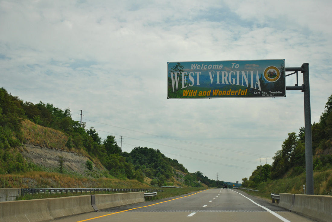
| A welcome sign resides above the south end of the Rubles Run Bridge on WV 43. 06/24/12 |
|
| The lone exit on the West Virginia portion of the Mon-Fayette Expressway joins WV 43 with Cheat Lake via CR 69/14 at Exit 1. 06/24/12 |
|
| Spanning Morgan Run and Morgan Run Road (CR 7/1) along WV 43 south high above. 06/24/12 |
|
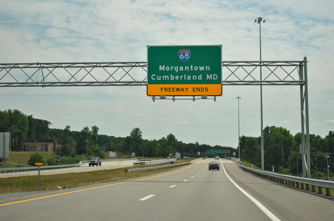
| The Mon-Fayette Expressway concludes at Interstate 68 in 2.5 miles. A diamond interchange provides the movements to the east-west freeway. 06/24/12 |
|
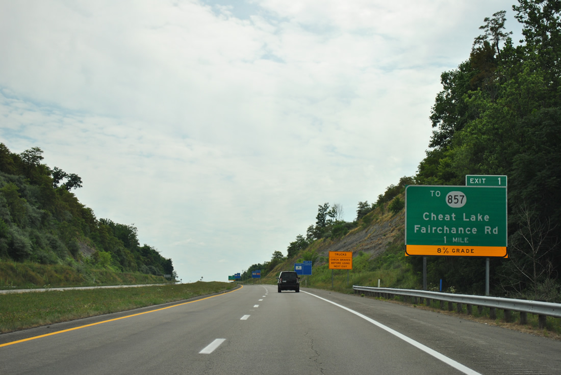
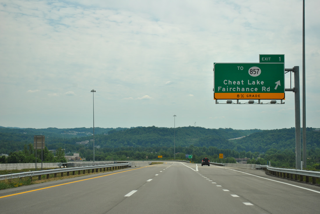
| Truckers are advised of an 8% grade on the Exit 1 off-ramp to County Route 69/14. CR 69/14 connects WV 43 with CR 857 (Fairchance Road) to the east and Bowers Lane to Cheat Lake to the west. 06/24/12 |
|
| CR 857 (Fairchance Road) originates as PA 857 from Greenhill. The secondary route follows Cheat Road west to U.S. 119 at Easton and ends at U.S. 19 in south Morgantown. 06/24/12 |
|
| One mile north of the westbound on-ramp to Interstate 68 on WV 43 south. The ramp to Morgantown and I-79 was improved during construction of the Mon-Fayette Expressway. 06/24/12 |
|
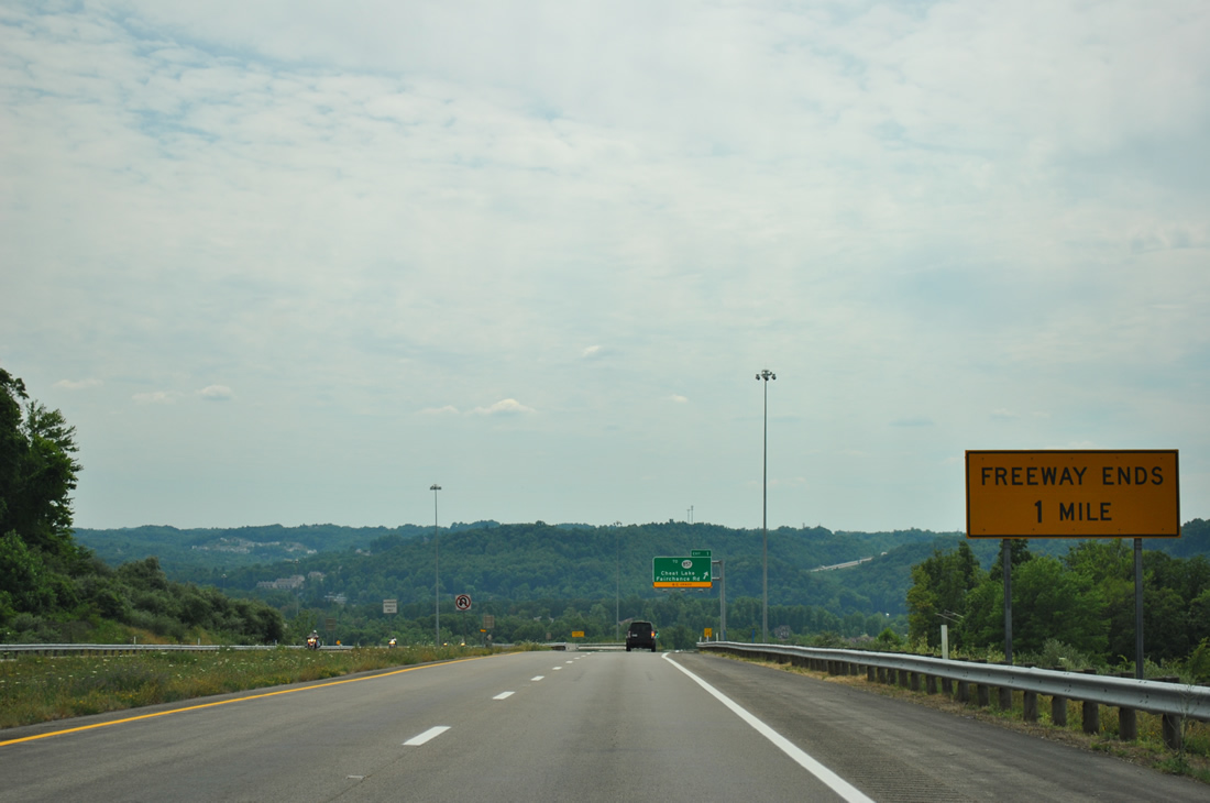
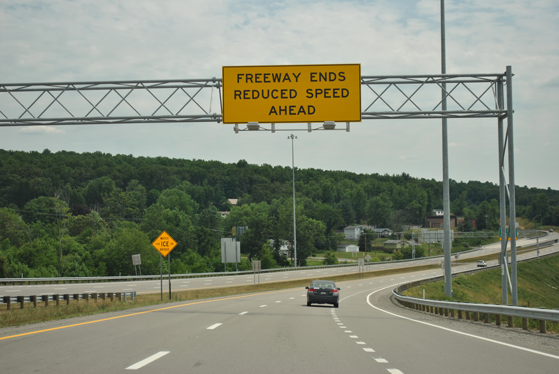
| Freeway ends sign posted just ahead of the Exit 1 off-ramp to CR 69/14. WV 43 replaced CR 69 as the connection between CR 857 (Fairchance Road) and Interstate 68. 06/24/12 |
|
| WV 43 southbound at the Exit 1 folded diamond interchange. CR 69/14 was built in conjunction with the Mon-Fayette Expressway between CR 857 and Bowers Lane. 06/24/12 |
|
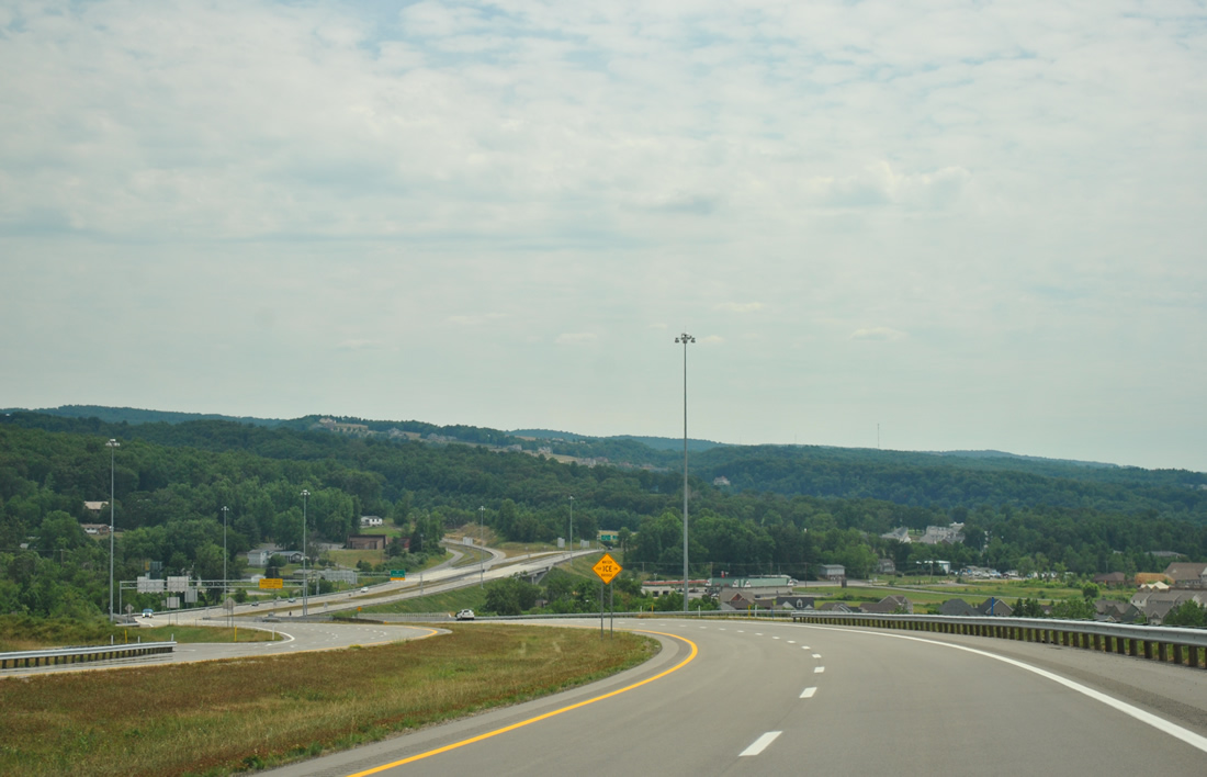
| WV 43 continues to lower toward Interstate 68 on the final half mile of the Mon-Fayette Expressway. Beyond the shield assembly pictured here is I-68 ascending from Cheat Lake. 06/24/12 |
|
| The final stretch of WV 43 spreads into view ahead of the CR 69/14 underpass. 06/24/12 |
|
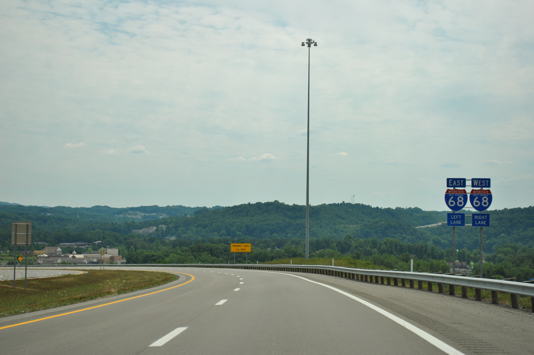
| WV 43 south defaults onto CR 69/19 for Ices Ferry and Lakeview Golf Course. Outside some ramp modifications, the diamond interchange with original CR 69 and I-68 remains in use for WV 43. 06/24/12 |
|
| Interstate 68 constitutes a 113 mile route between Interstate 79 outside Morgantown and Interstate 70 at Hancock, Maryland. The freeway replaced WV 73 east to the state line. 06/24/12 |
|
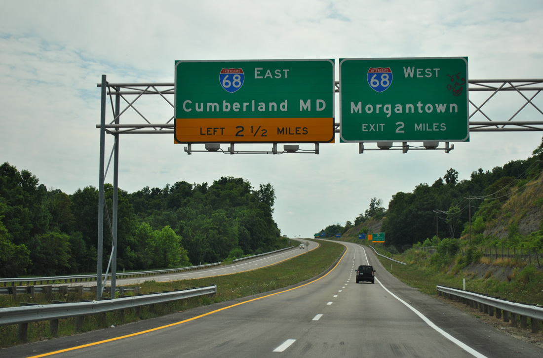
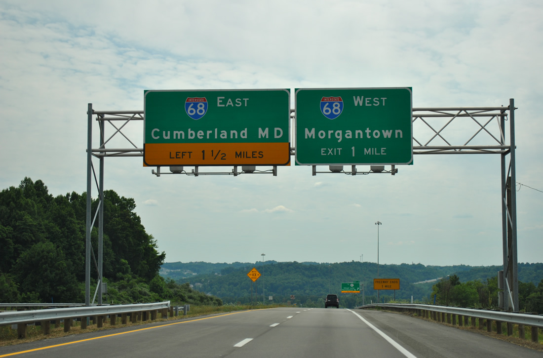
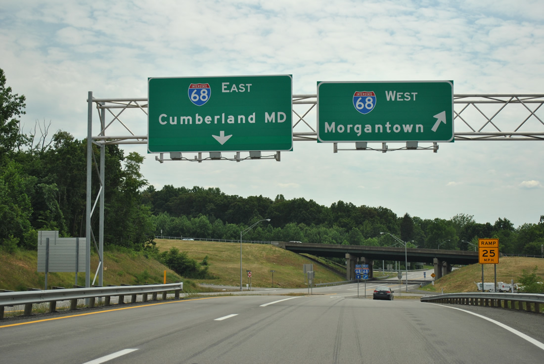
| Motorists along the Mon-Fayette Expressway south partition at the westbound ramp to Interstate 68. A left turn lies ahead for I-68 east to Cumberland, Maryland. 06/24/12 |
Page Updated 02-05-2013.