
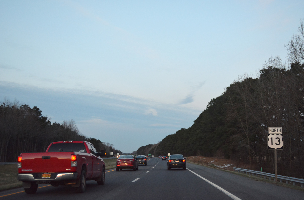
U.S. 13 is the primary north-south route serving the Delmarva Peninsula Beach Hampton Roads, Virginia and Sussex County, Delaware. Through Maryland, U.S. 13 passes through southwest Worcester County to Pocomoke City, where its branch route U.S. 113 begins. U.S. 113 arcs northeast toward the coast through Snow Hill while U.S. 13 turns westward across the Pocomoke River into Somerset County.
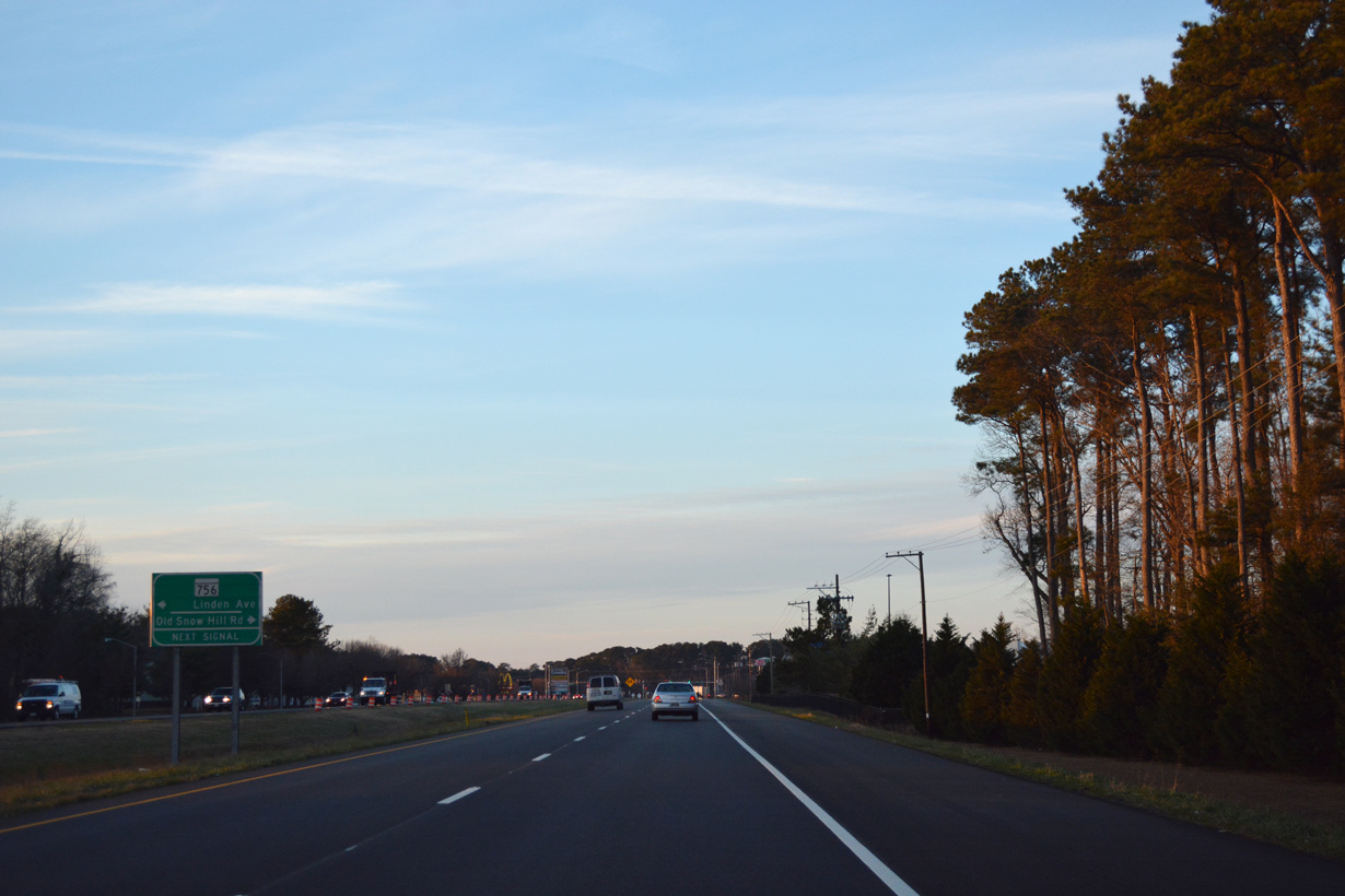
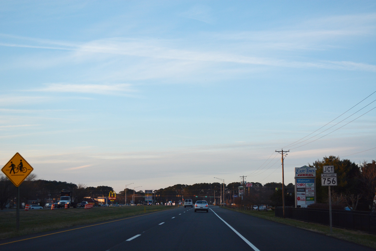
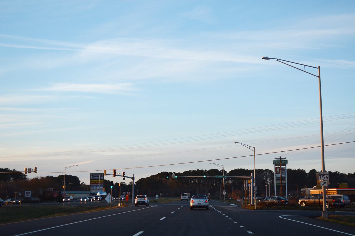
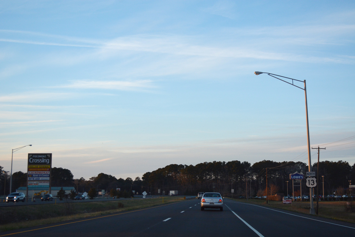
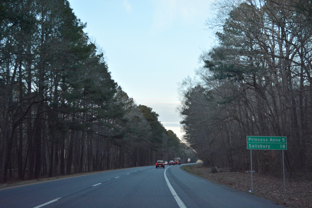
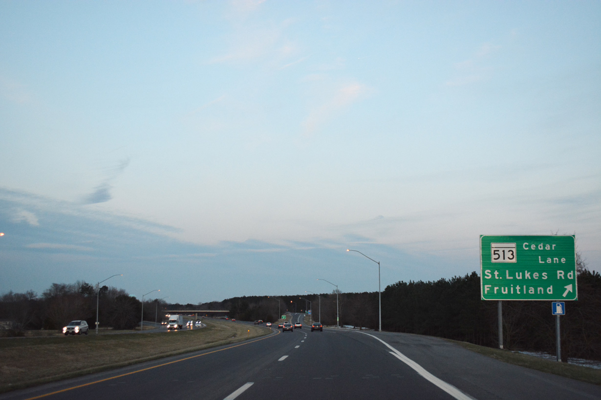
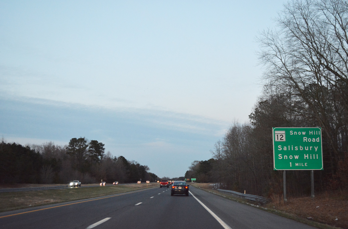
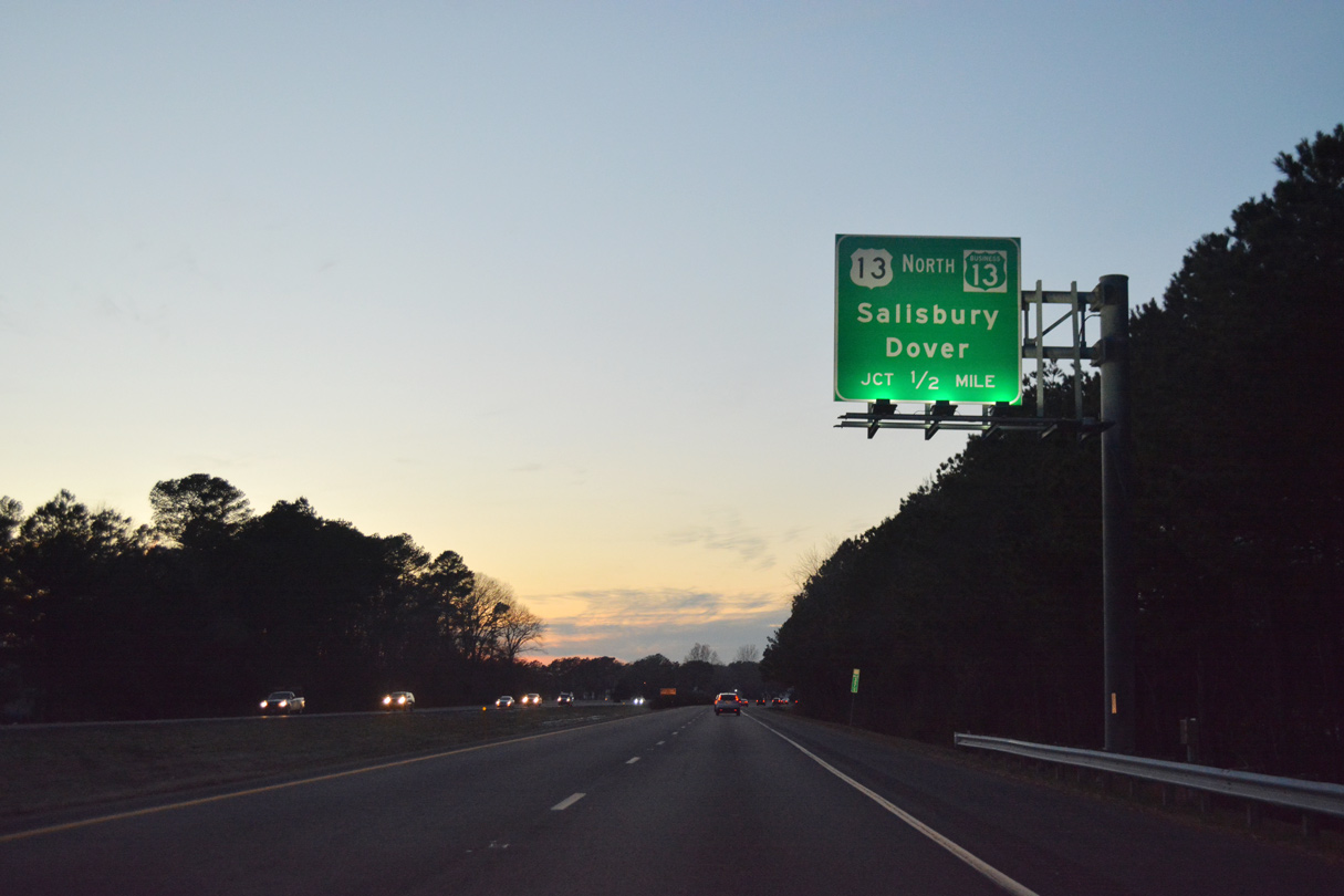
Staying rural, U.S. 13 (Ocean Highway) meets MD 413 near Westover, where the four-lane highway curves back to the north ahead of Princess Anne. Initially traversing Tulls Swamp, Ocean Highway makes a long straight away northeast to enter Wicomico County ahead of Fruitland. Through the Salisbury area, U.S. 13 splits with the mainline taking a freeway bypass to the east and a business route bisecting the largest city in the Maryland Eastern Shore region.

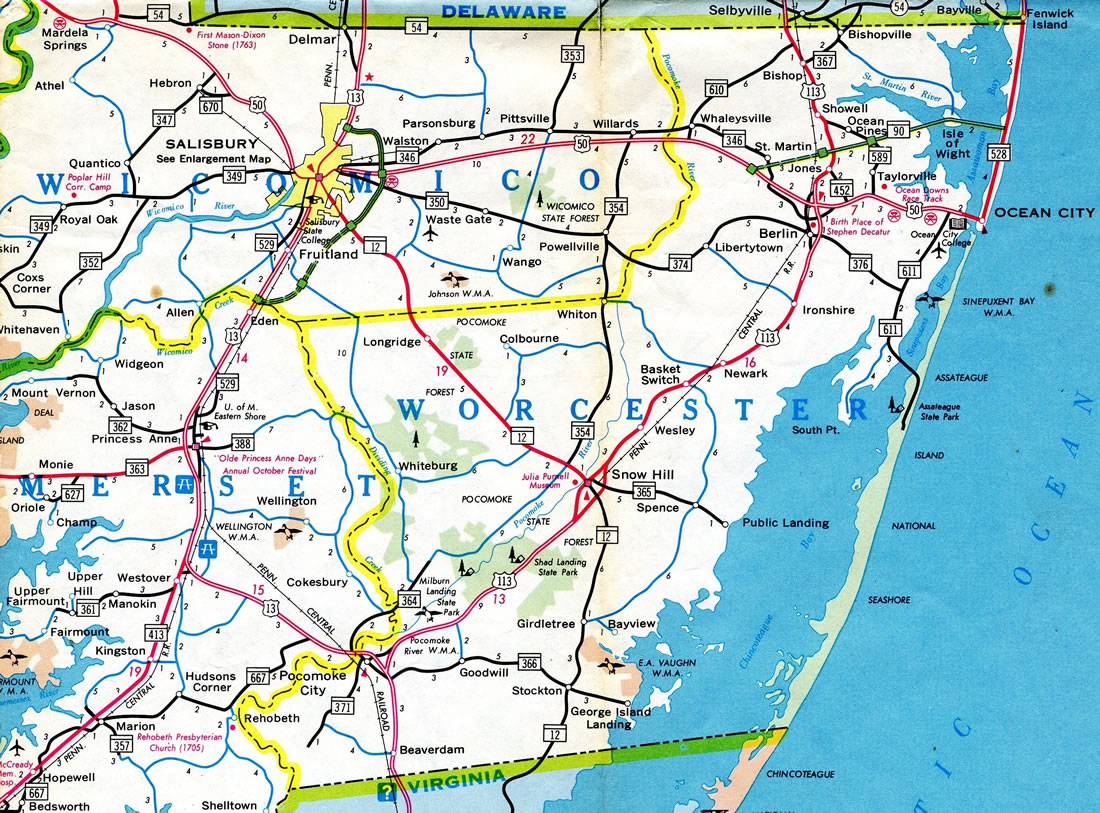
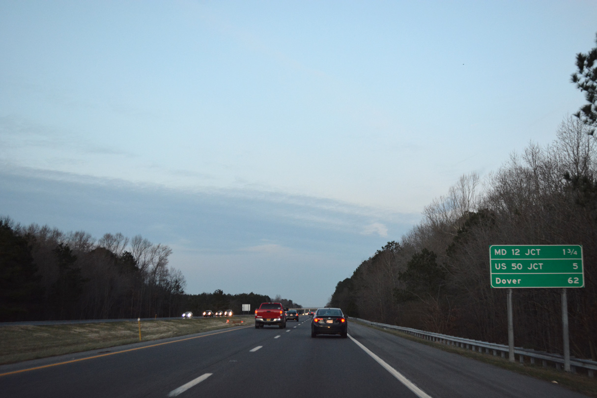
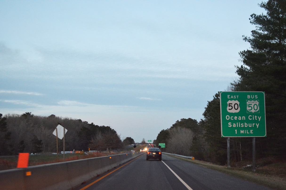
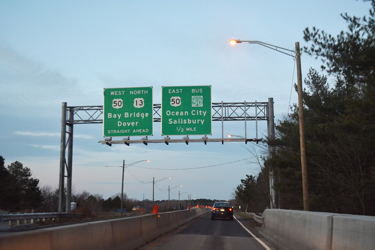
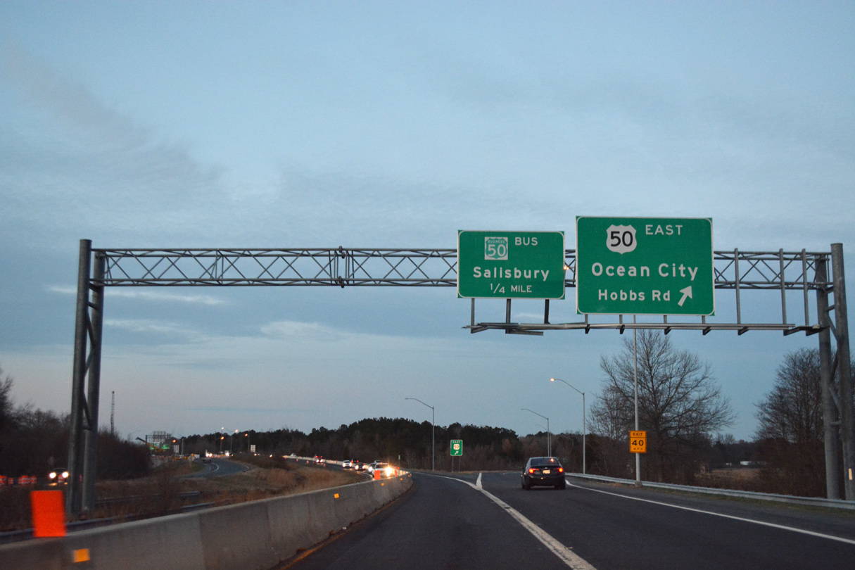
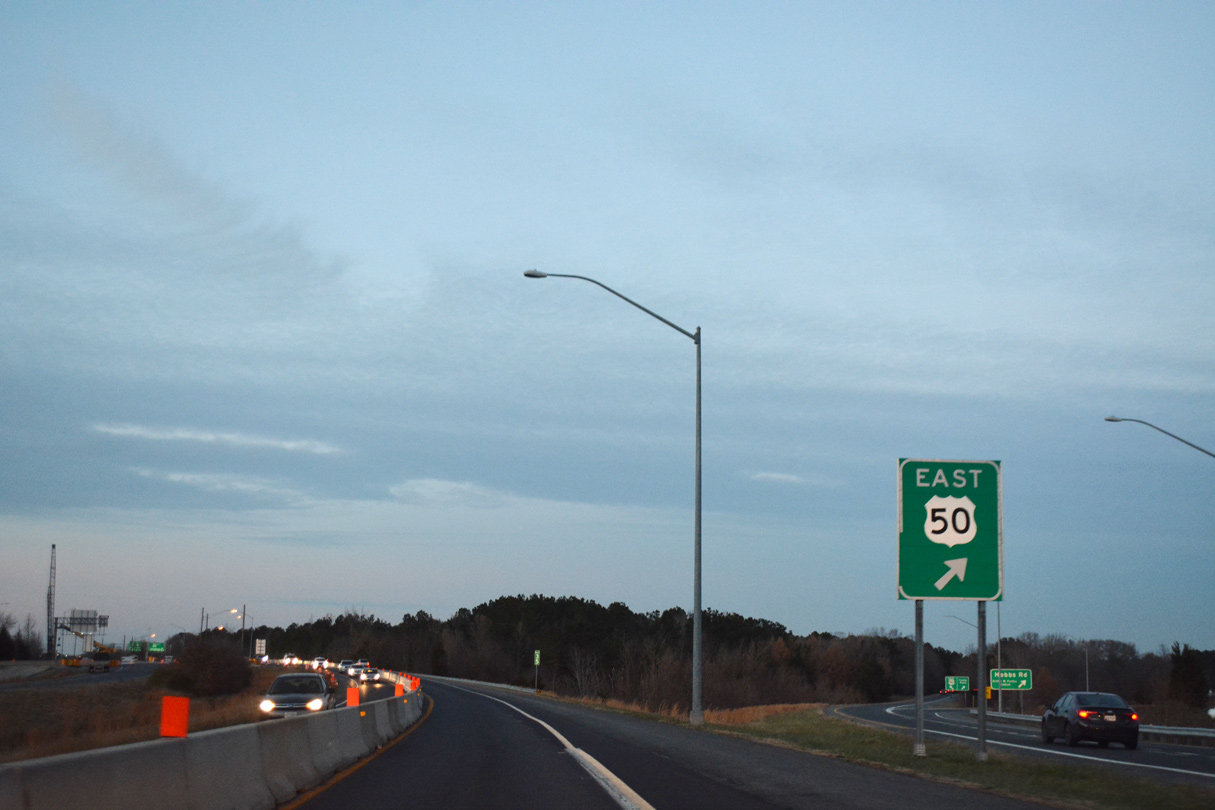
The Salisbury Bypass also doubles as the U.S. 50 mainline around the northeast side of the city. U.S. 50 was added to the freeway after the extension west was completed in 2003. U.S. 13 otherwise rejoins its surface alignment (Salisbury Boulevard) by the Centre at Salisbury Mall. The U.S. highway exits the state north along a congested commercial arterial through the town of Delmar.
 North
North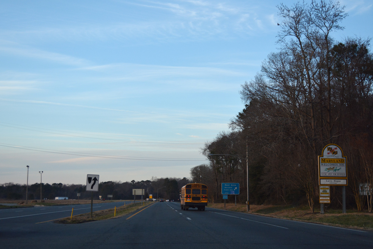
Welcome to Maryland sign posted after Holland Road and the Accomack County, Virginia line on U.S. 13 north.
12/14/17
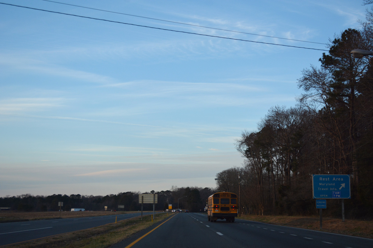
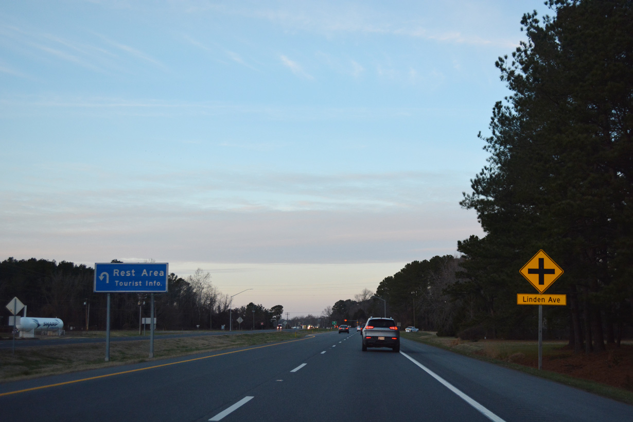
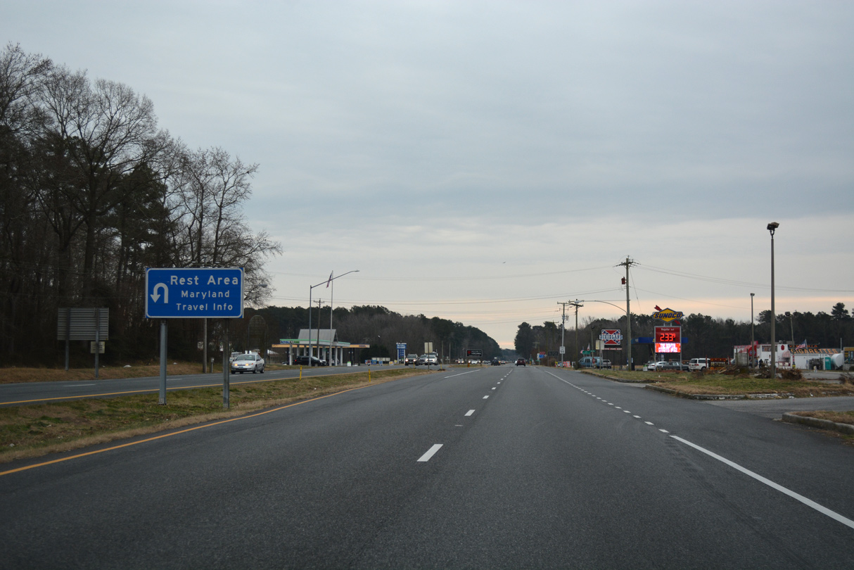
A travel information center and rest area follow just beyond the state line.
12/14/17
U.S. 13 curves through a forested area to cross Wagram Creek beyond the Worcester County rest area.
12/14/17
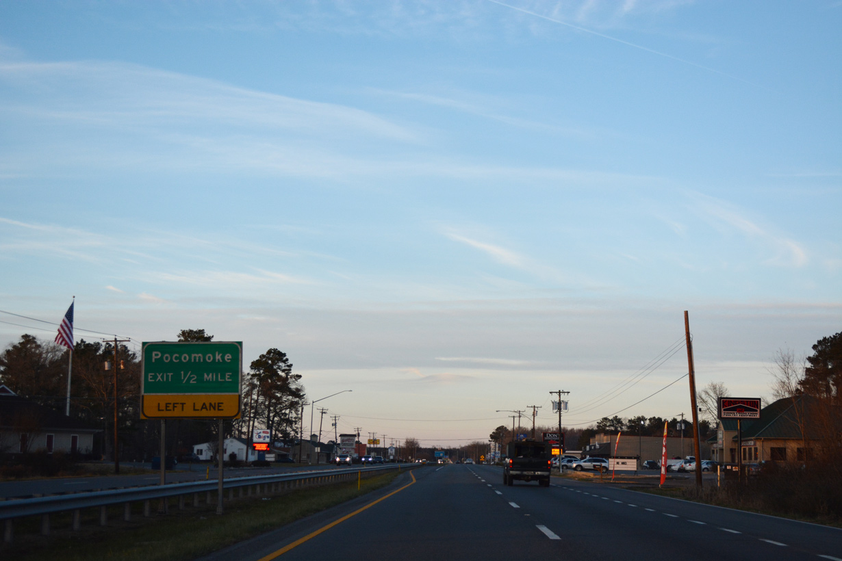
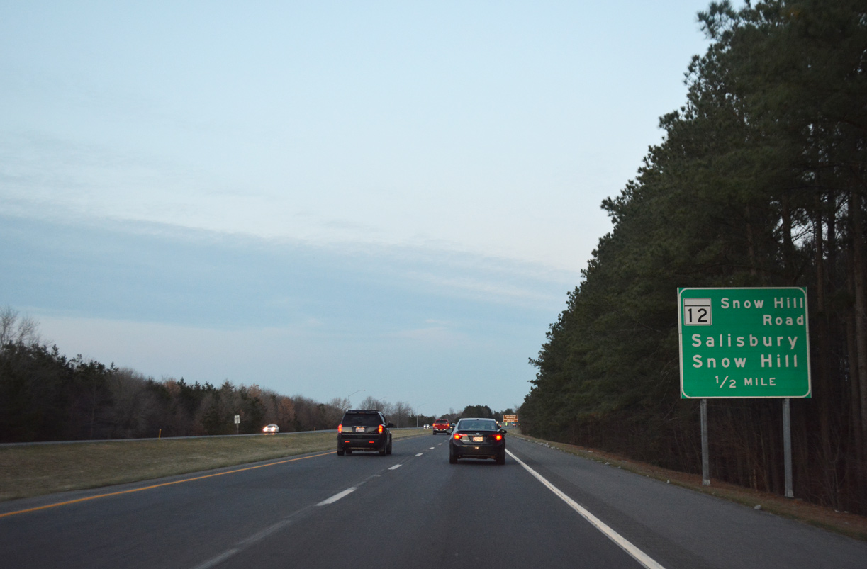
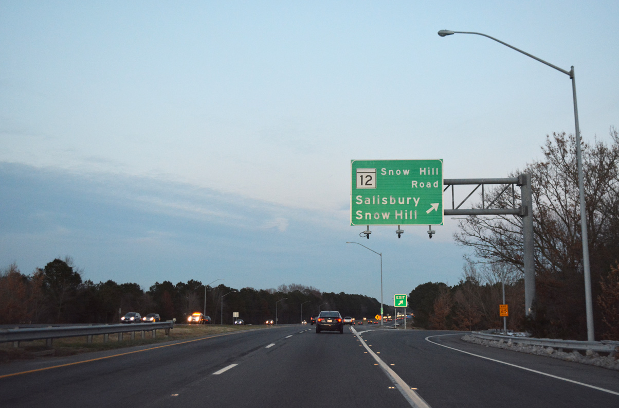
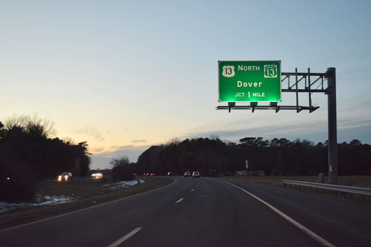
Continuing north, U.S. 13 (Ocean Highway) reaches the Pocomoke City limits and approaches the separation with U.S. 113 (Worcester Highway).
12/14/17
Continuing north, U.S. 13 (Ocean Highway) reaches the Pocomoke City limits and approaches the separation with U.S. 113 (Worcester Highway).
12/14/17
U.S. 13 bypasses Pocomoke City along a controlled access arterial to the east of Downtown. Forthcoming U.S. 13 Business follows the original route through Downtown.
12/14/17
U.S. 13 bypasses Pocomoke City along a controlled access arterial to the east of Downtown. Forthcoming U.S. 13 Business follows the original route through Downtown.
12/14/17
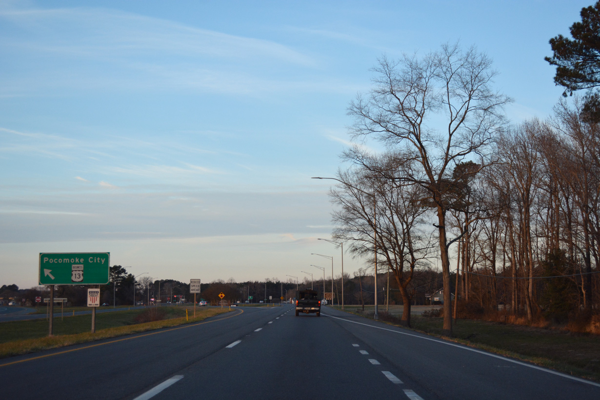
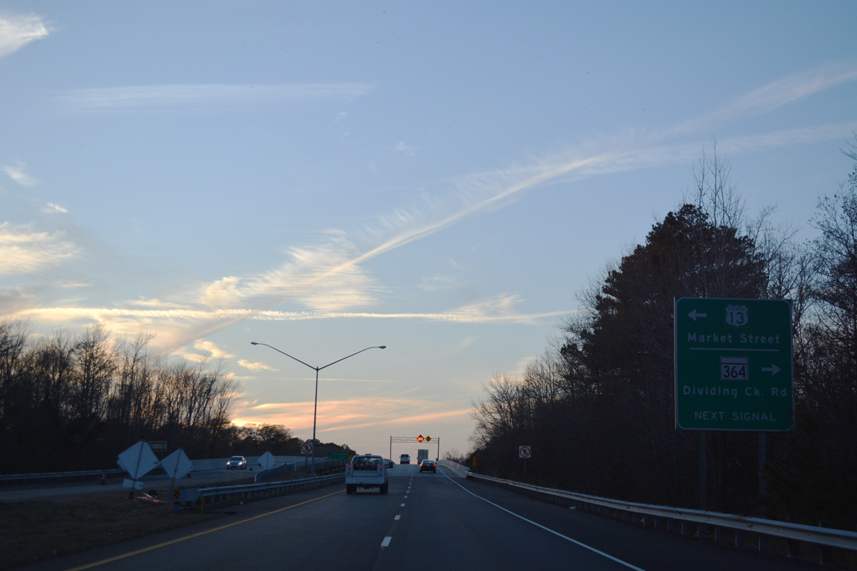
The Pocomoke City business route for U.S. 13 splits with U.S. 13 (Ocean Highway) from the left. Following Market Street through Downtown, U.S. 13 Business returns to U.S. 13 in 2.48 miles within Somerset County.
12/14/17
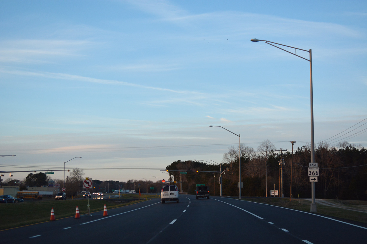
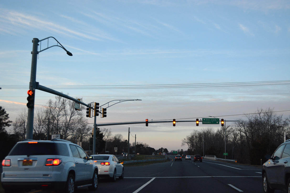
MD 366 stems east from U.S. 13 Business to intersect U.S. 13 (Ocean Highway) at an adjacent intersection.
12/14/17
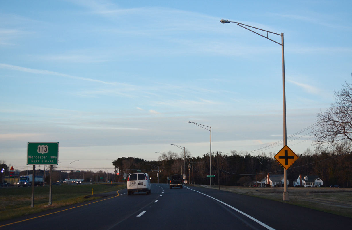
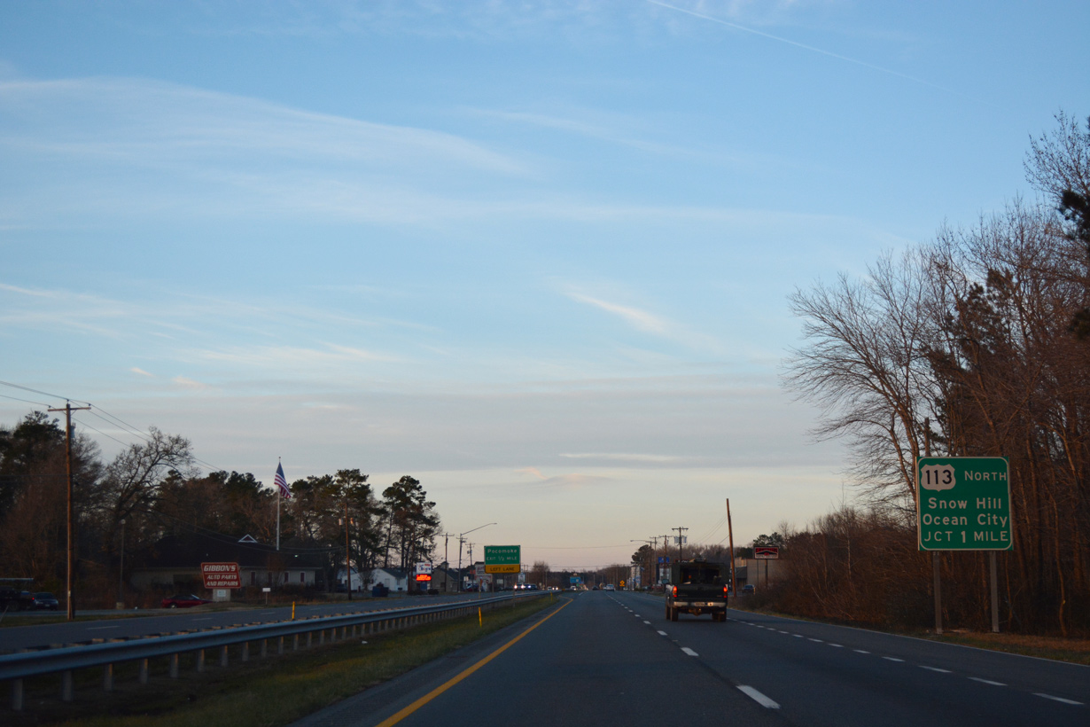
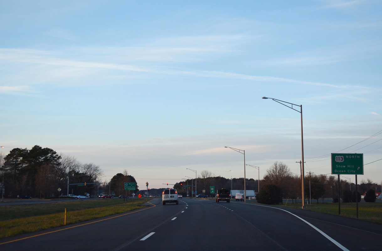
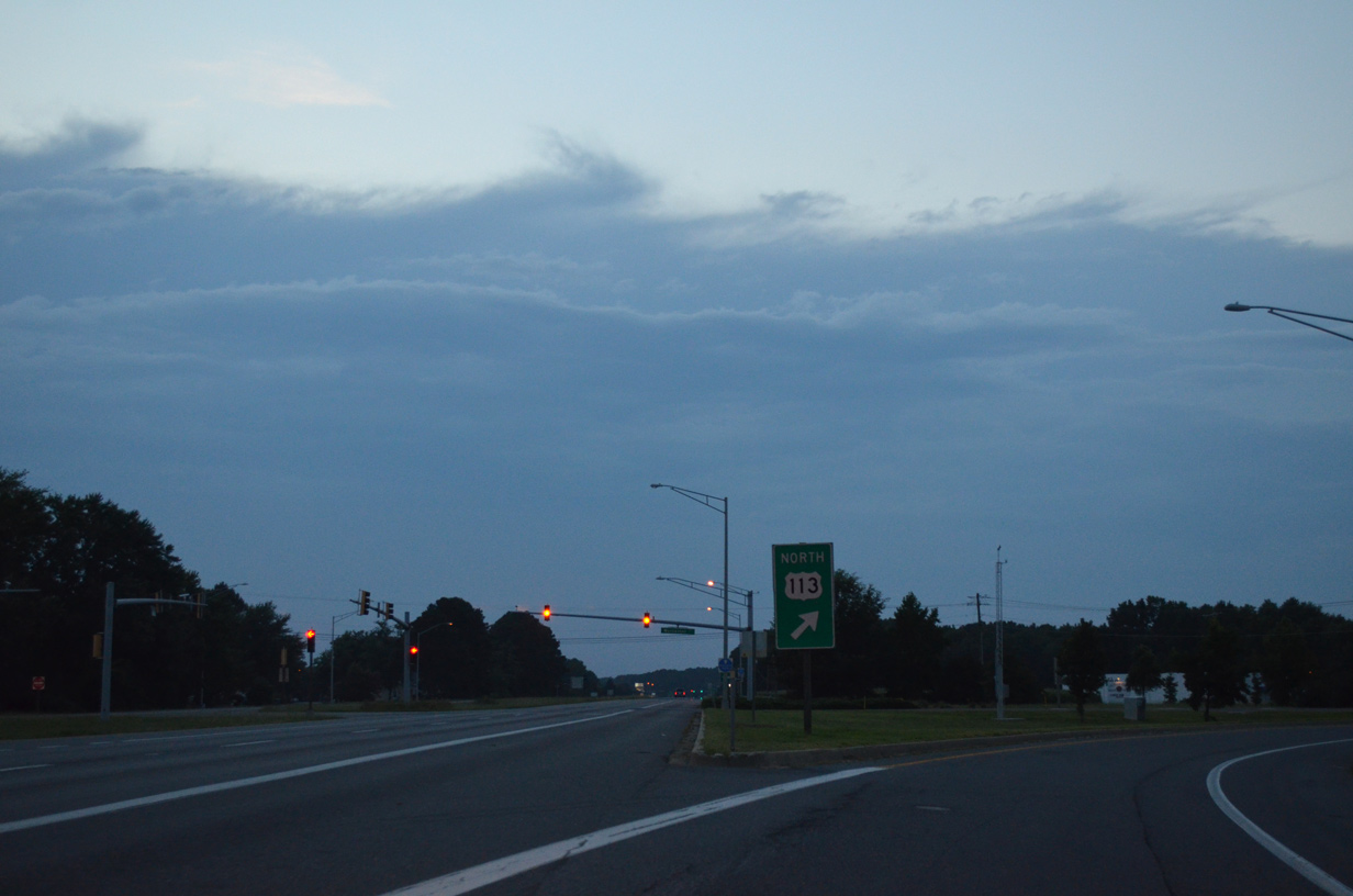
U.S. 113 (Worcester Highway) branches northeast from U.S. 13 at the ensuing traffic light to parallel the Pocomoke River to Snow Hill.
12/14/17
MD 366 measures 11.17 miles in length from Pocomoke City east to Goodwill, Stockton and George Island Landing off Parker Bay.
12/14/17
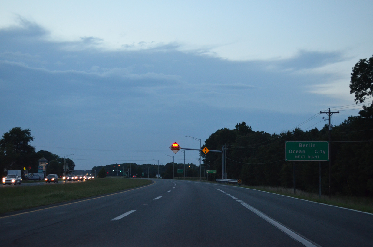
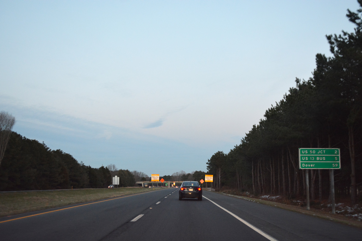
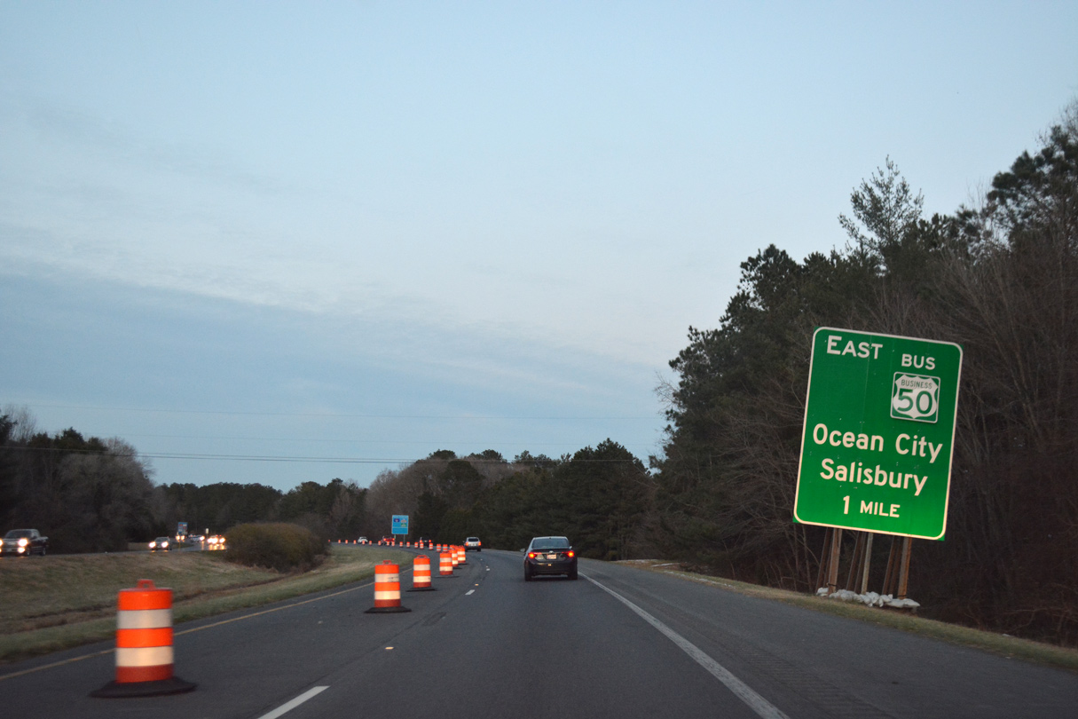
Staying wholly within Worcester County, U.S. 113 north intersects MD 376 at Berlin in 28.08 miles and the exit ramp for U.S. 50 east to Ocean City in 29.33 miles.
07/28/13
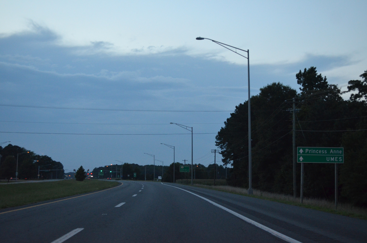
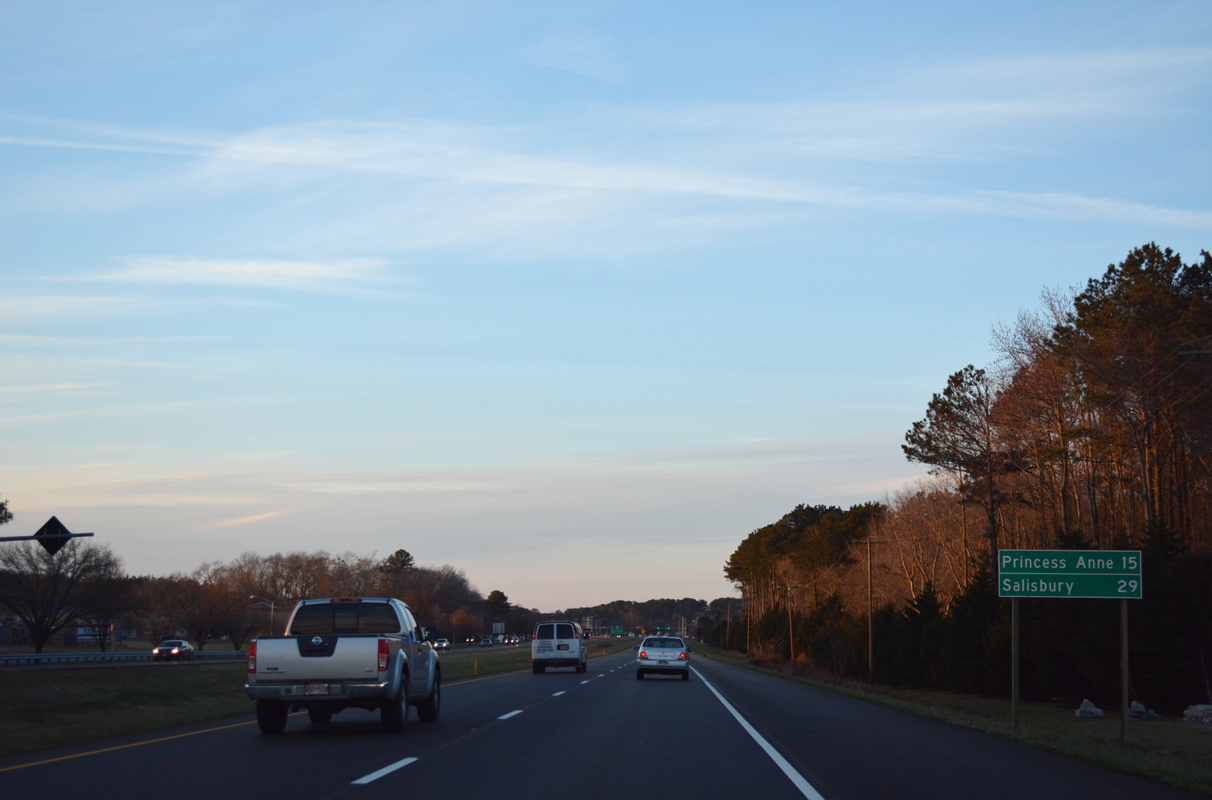
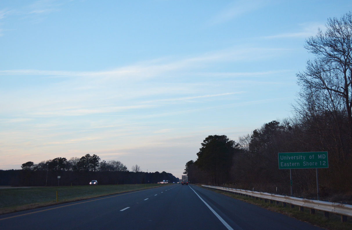
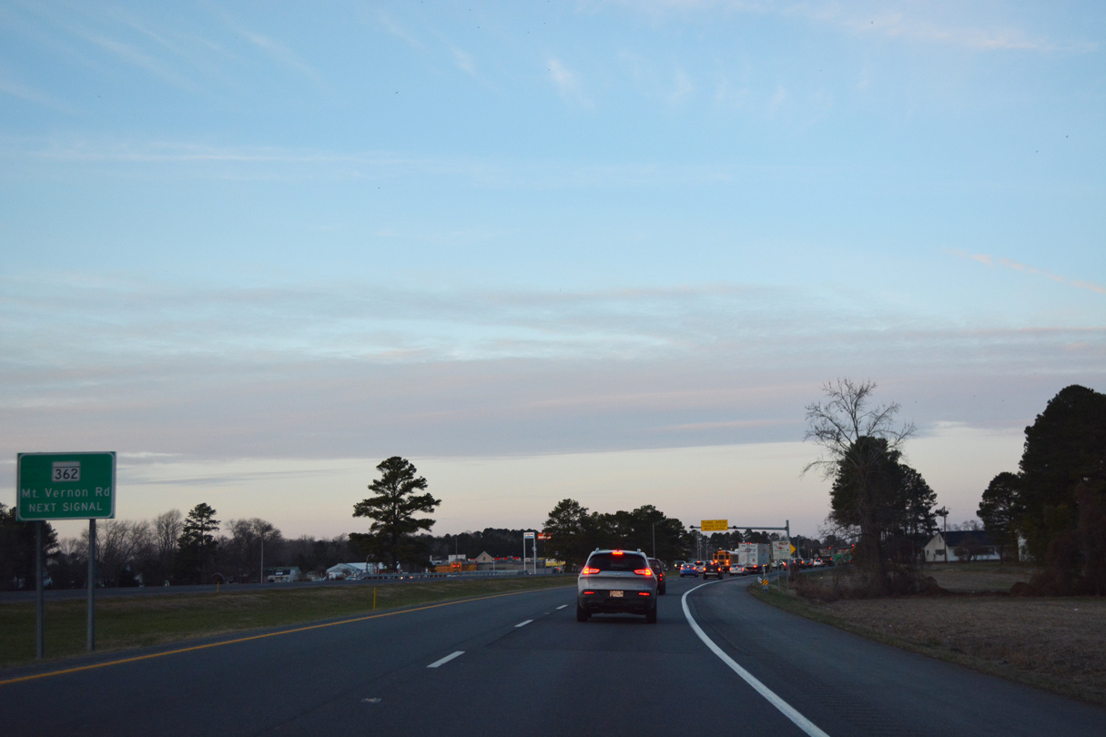
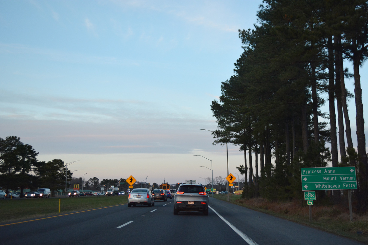
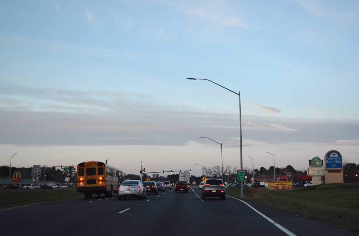
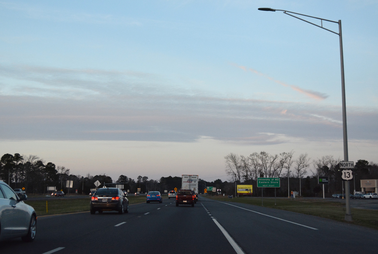
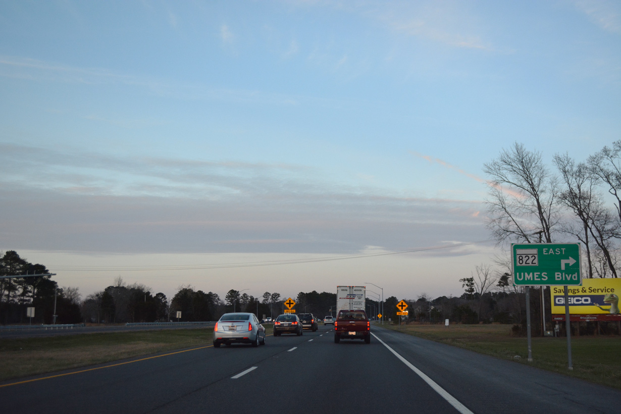
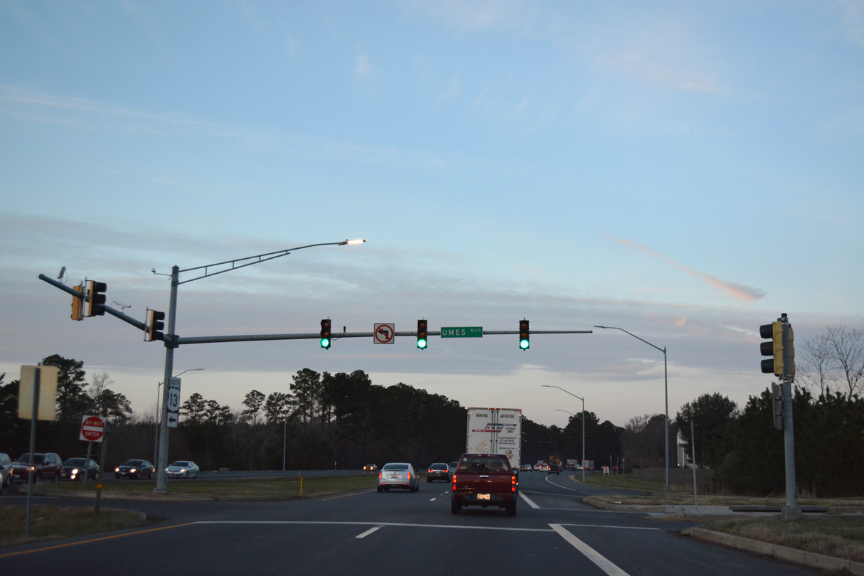
Motorists bound for the Somerset County seat of Princess Anne and University of Maryland Eastern Shore (UMES) are advised to remain along U.S. 13 after U.S. 113.
07/28/13
Outside of the town of Berlin, U.S. 113 constitutes a rural highway for 37.49 miles to the Delaware state line north of Bishop. Widening of the last two lane sections in the state was completed by Spring 2019.
12/14/17
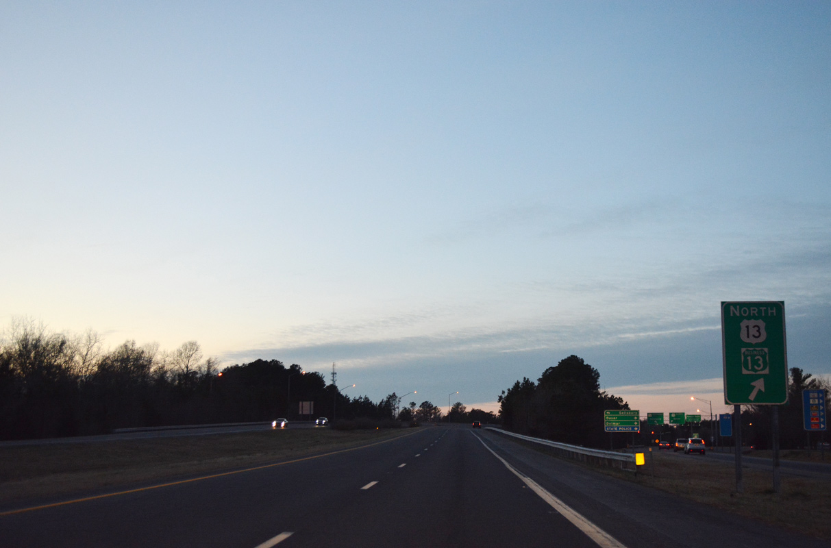
A bypass lane takes drivers directly onto U.S. 113 (Worcester Highway) north from U.S. 13 north. Overall U.S. 113 travels nearly equally between the Free State and First State, concluding in 74.45 miles at Milford, Delaware.
07/28/13
12/14/17
12/14/17
12/14/17
12/14/17
12/14/17
12/14/17
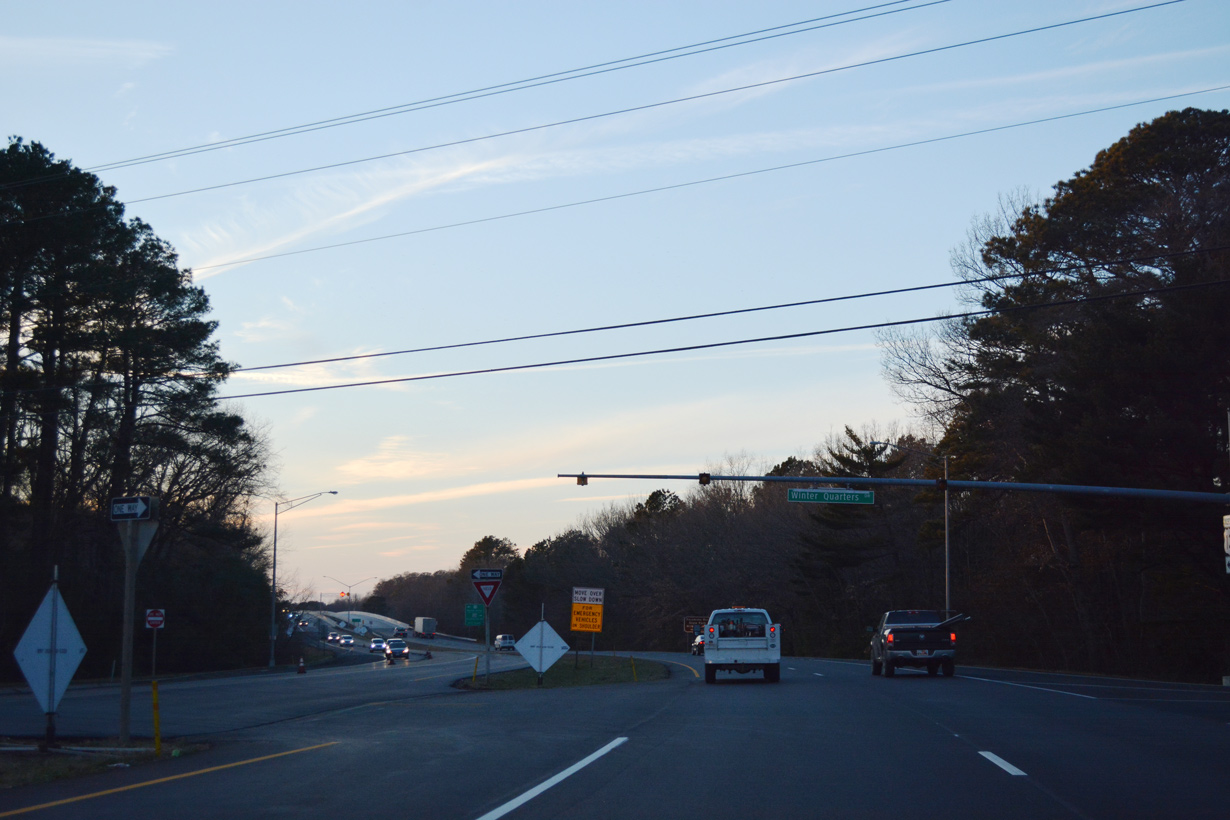
U.S. 13 north at Winter Quarters Drive.
12/14/17
12/14/17
12/14/17
Crossing the Pocomoke River, U.S. 13 enters Somerset County.
12/14/17
12/14/17
12/14/17
12/14/17
Reassurance marker posted at the intersection with Costen Road.
12/14/17
12/14/17
12/14/17
12/14/17
12/14/17
12/14/17
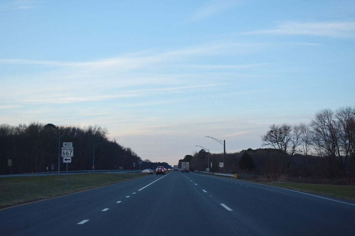
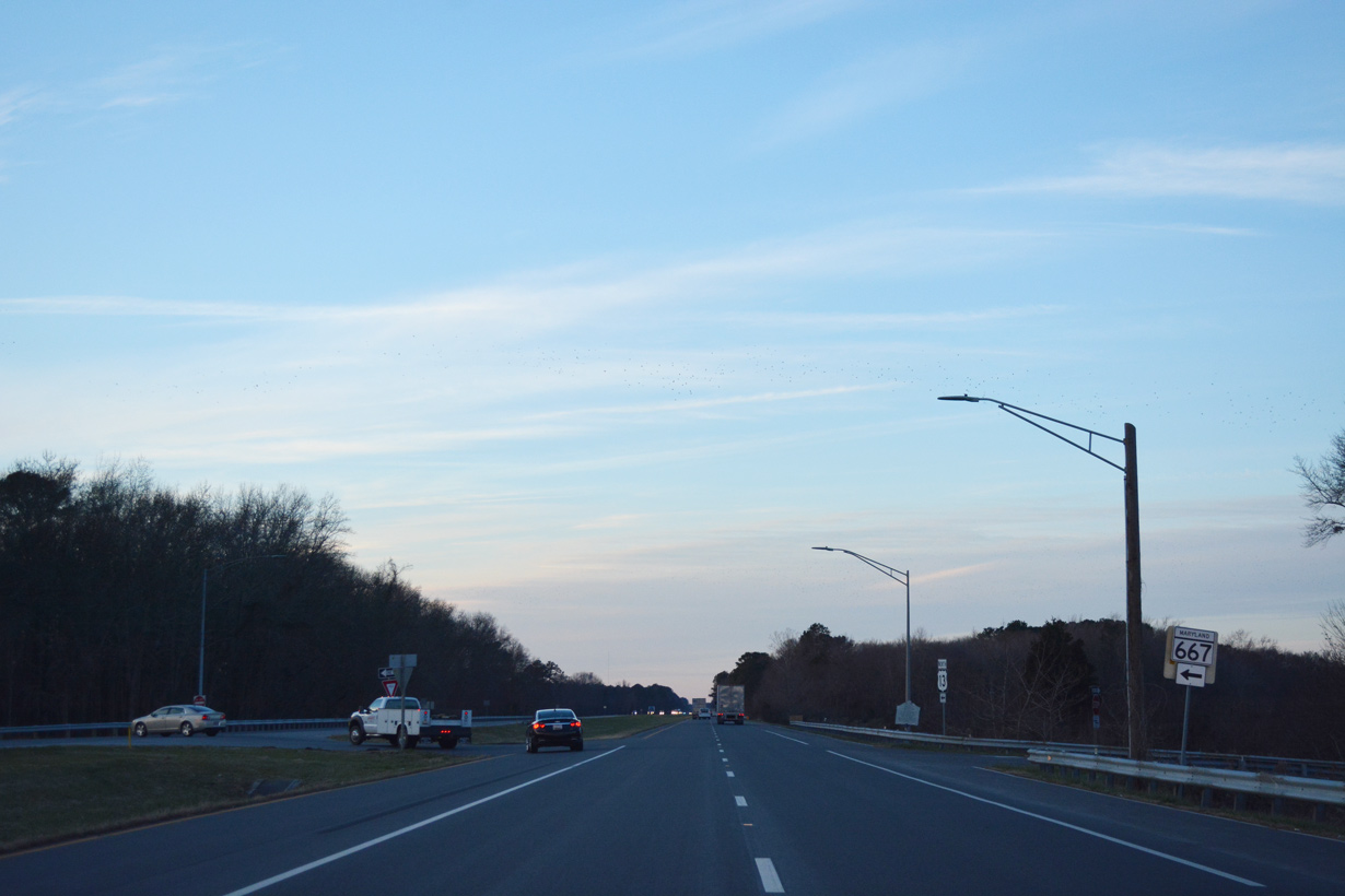
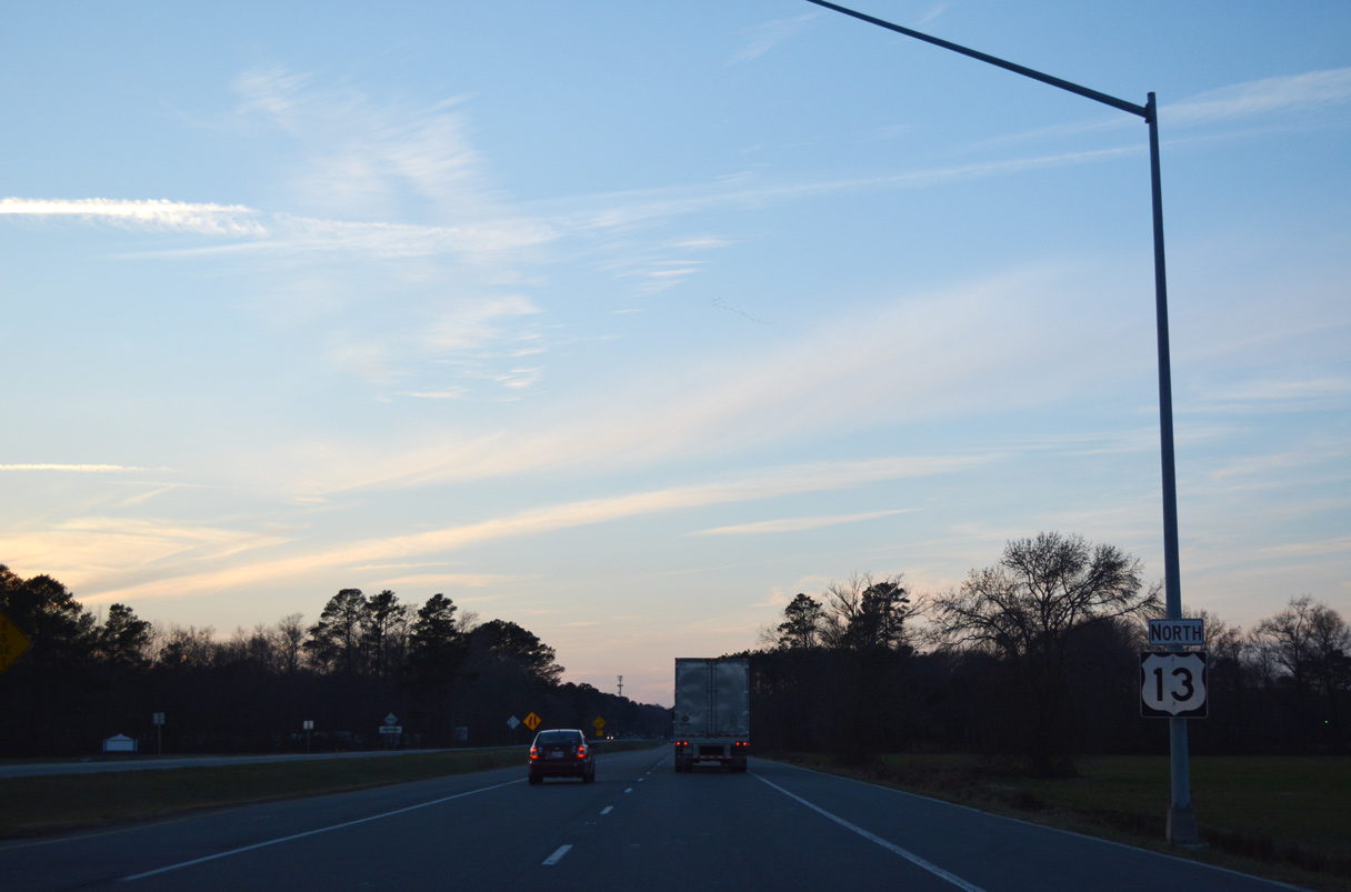
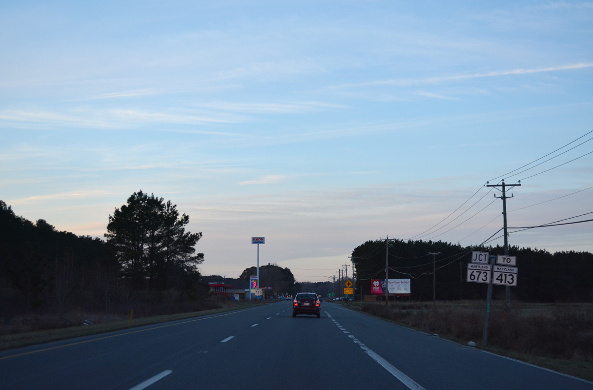
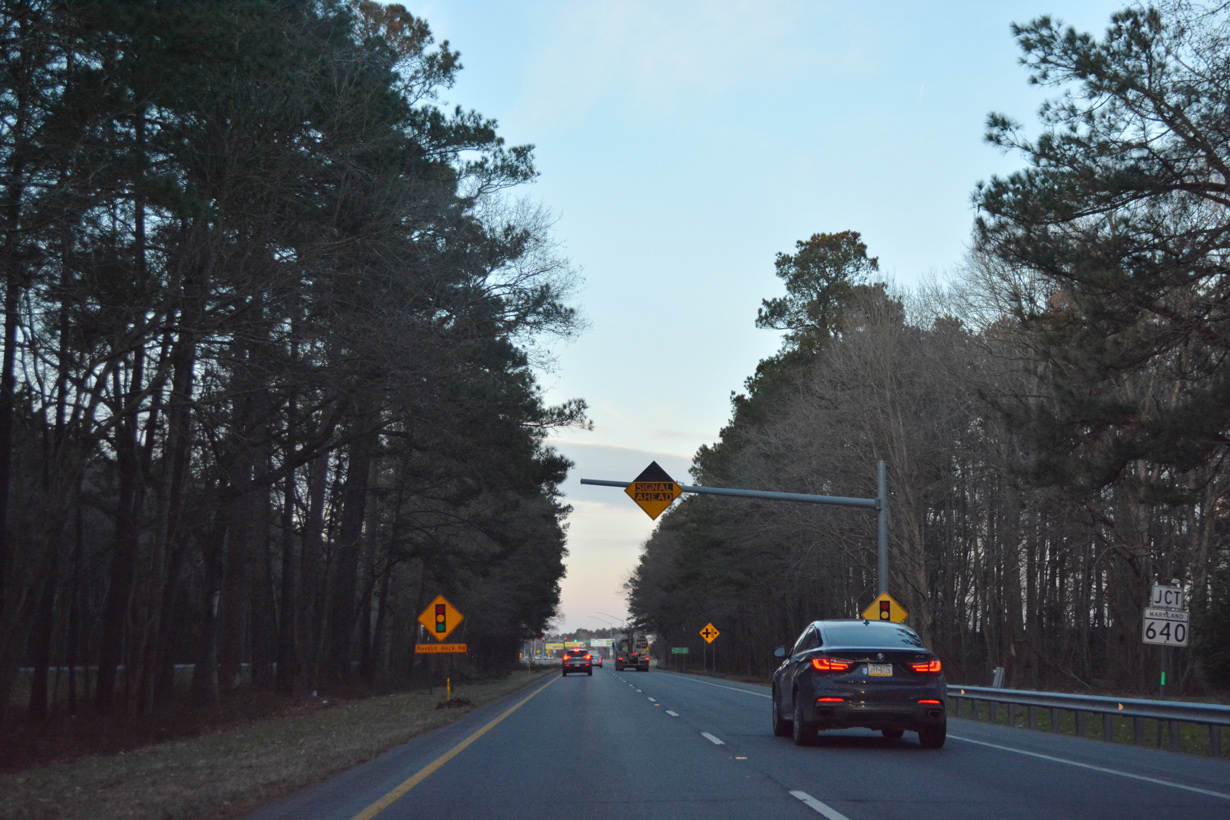
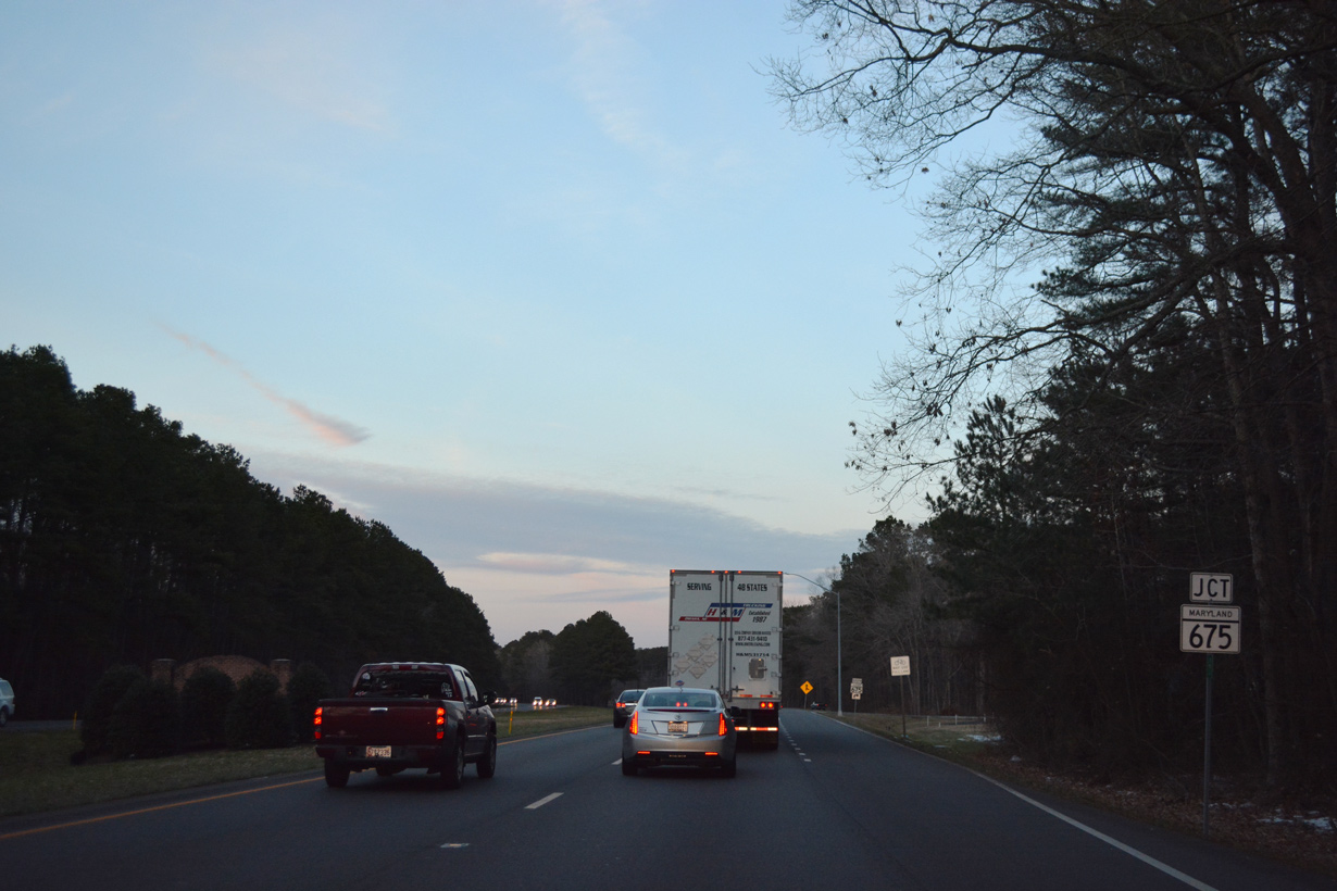
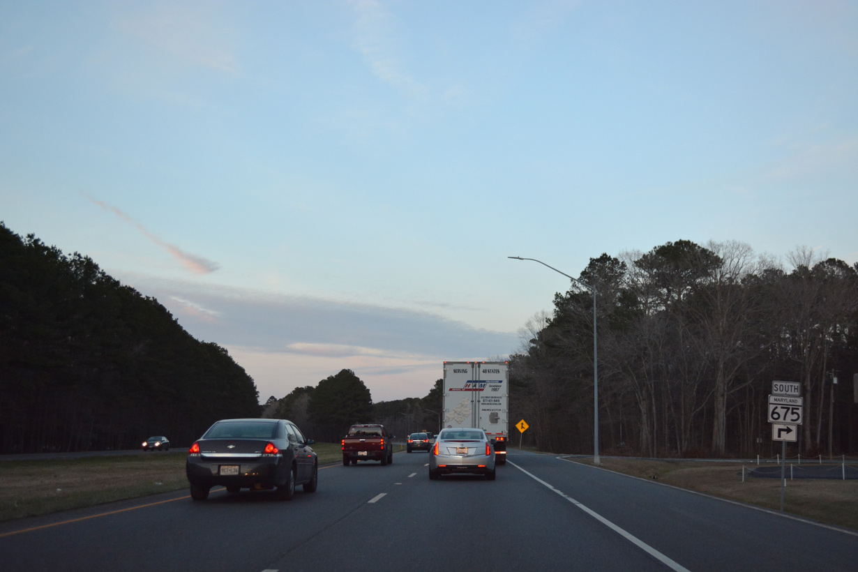
Forthcoming MD 673 provides a cut off west to MD 413 south at Westover.
12/14/17
12/14/17
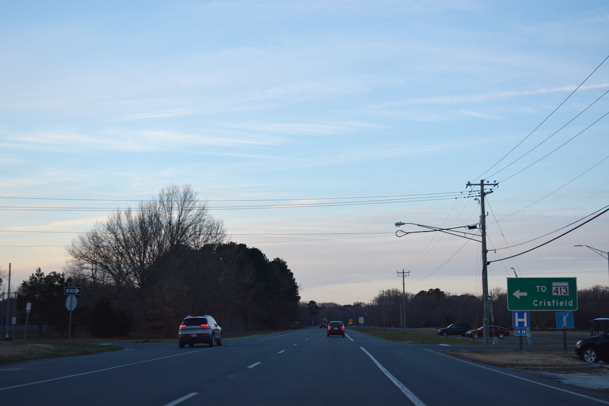
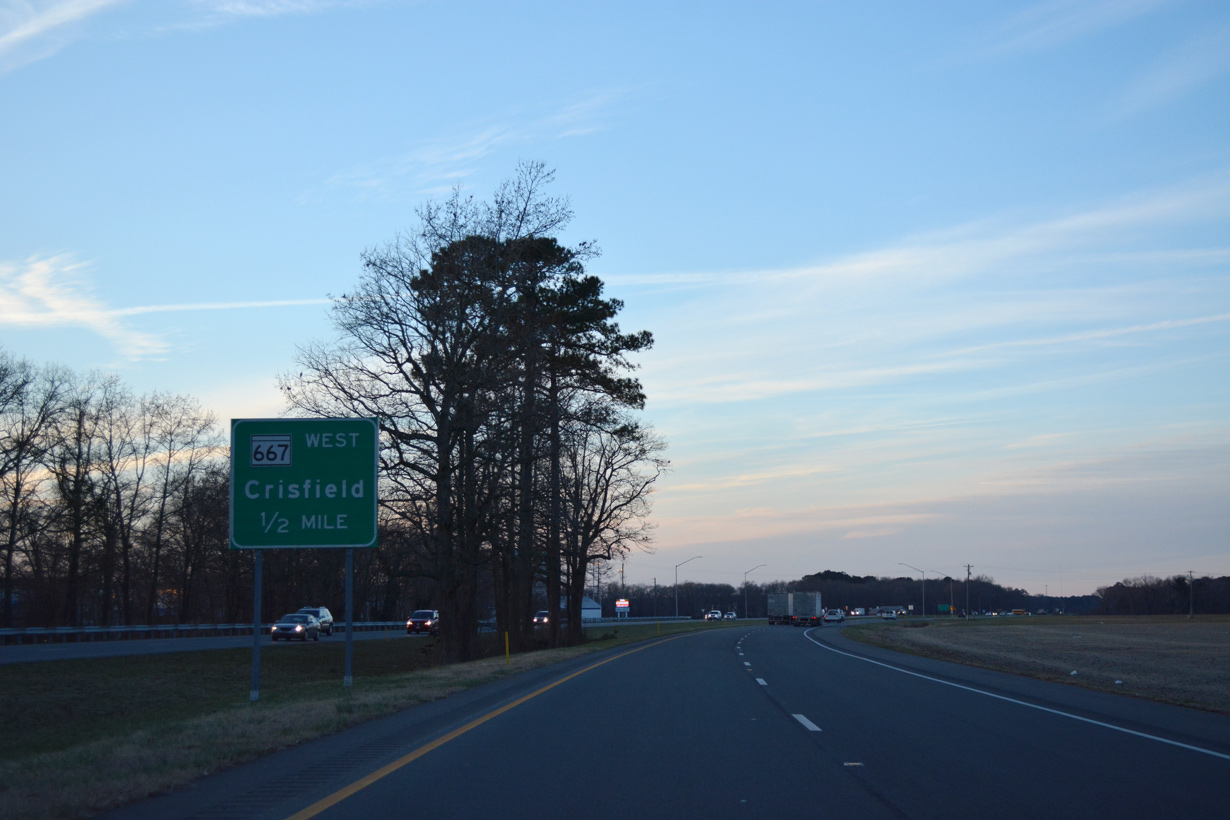
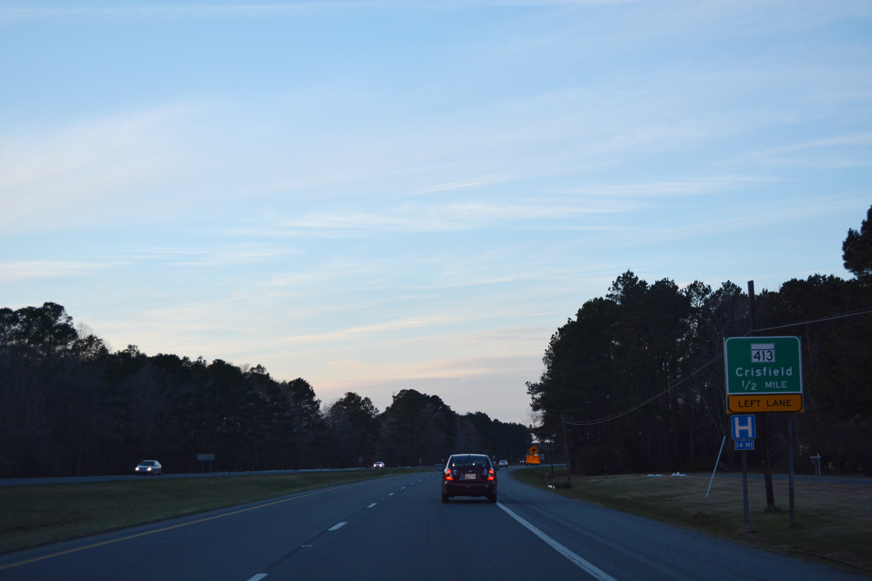
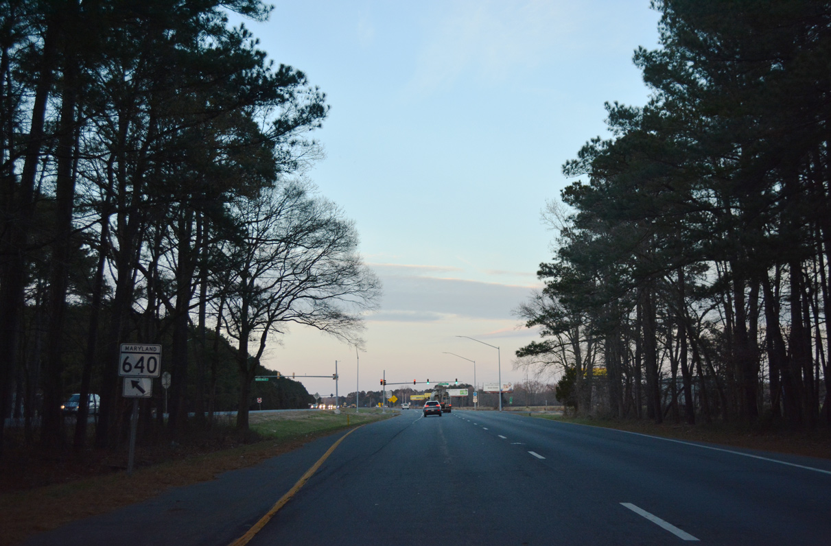
MD 413 spurs southwest to the town of Crisfield off Tangier Sound.
12/14/17
12/14/17
12/14/17
12/14/17
12/14/17
12/14/17
12/14/17
12/14/17
12/14/17
12/14/17
12/14/17

12/14/17
12/14/17
12/14/17
12/14/17
12/14/17
12/14/17
12/14/17
12/14/17
12/14/17
12/14/17
12/14/17
12/14/17
North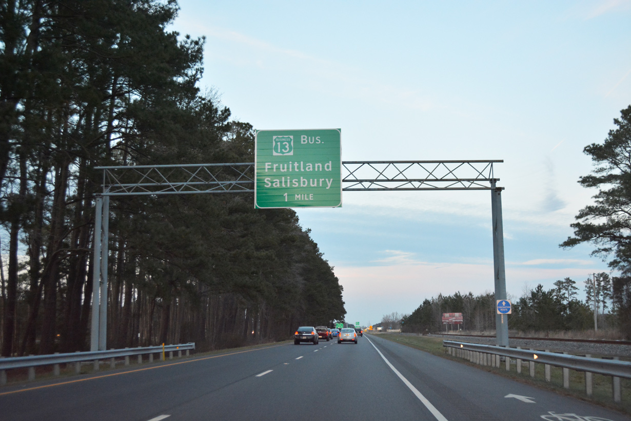
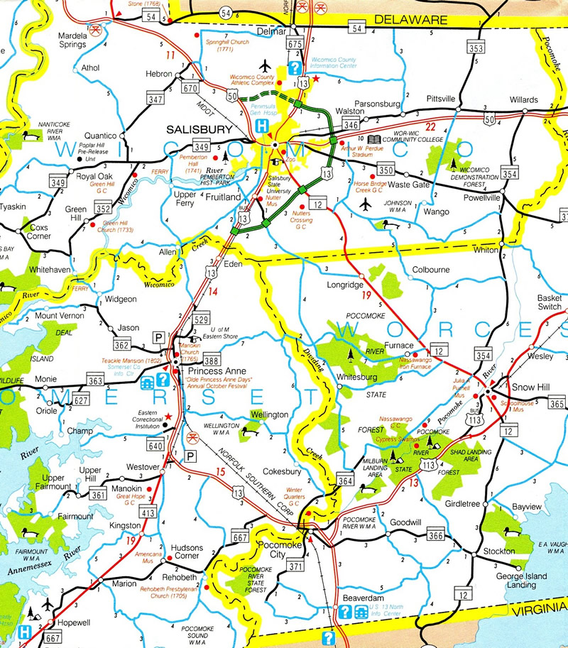
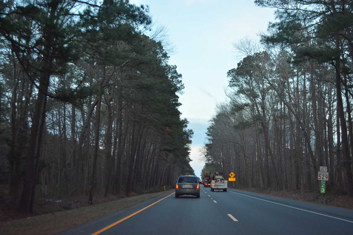
U.S. 13 crosses the Wicomico County line on the one mile approach to the Salisbury Bypass.
12/14/17
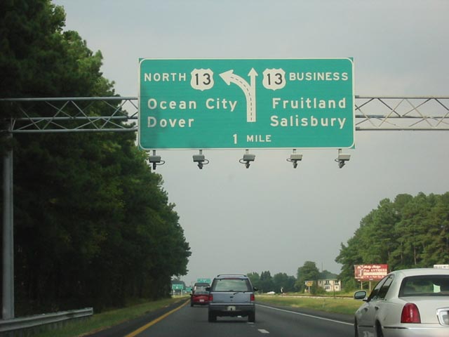
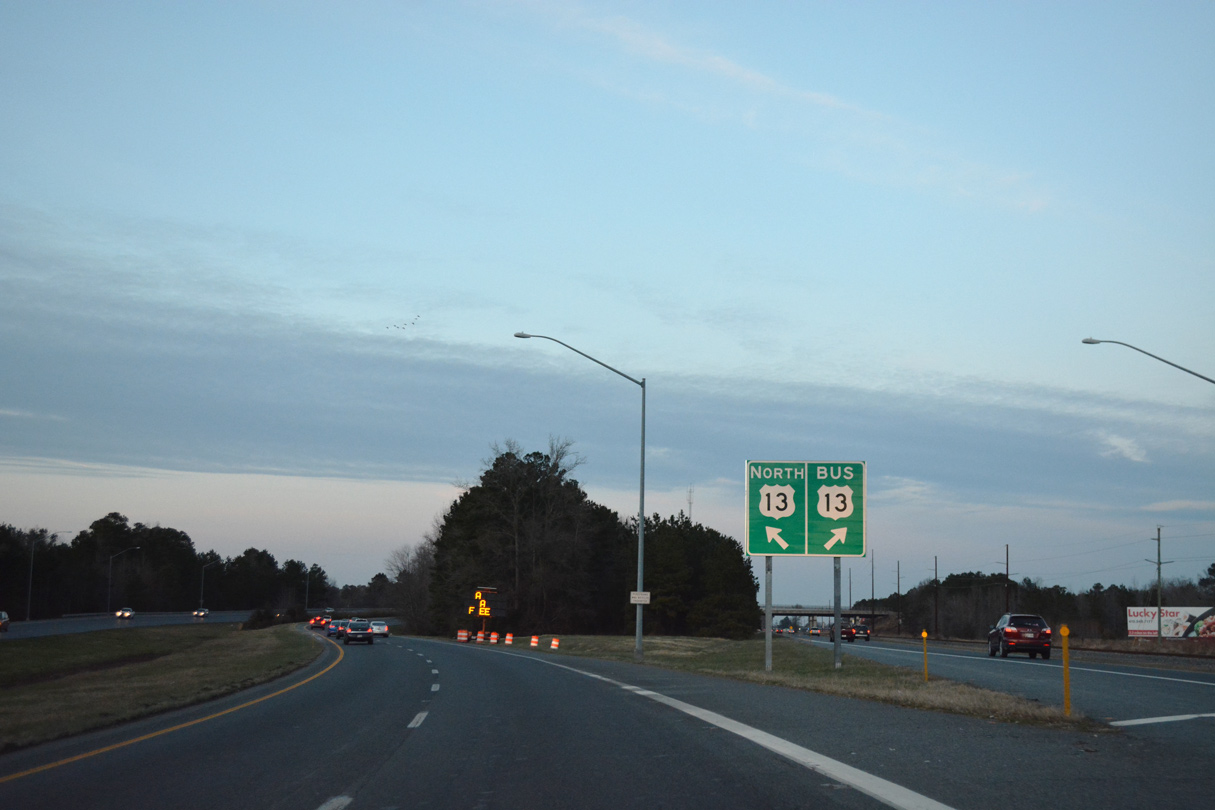
Replaced diagrammatic sign for the U.S. 13/13 Business split ahead of Fruitland.
July 2002
12/14/17
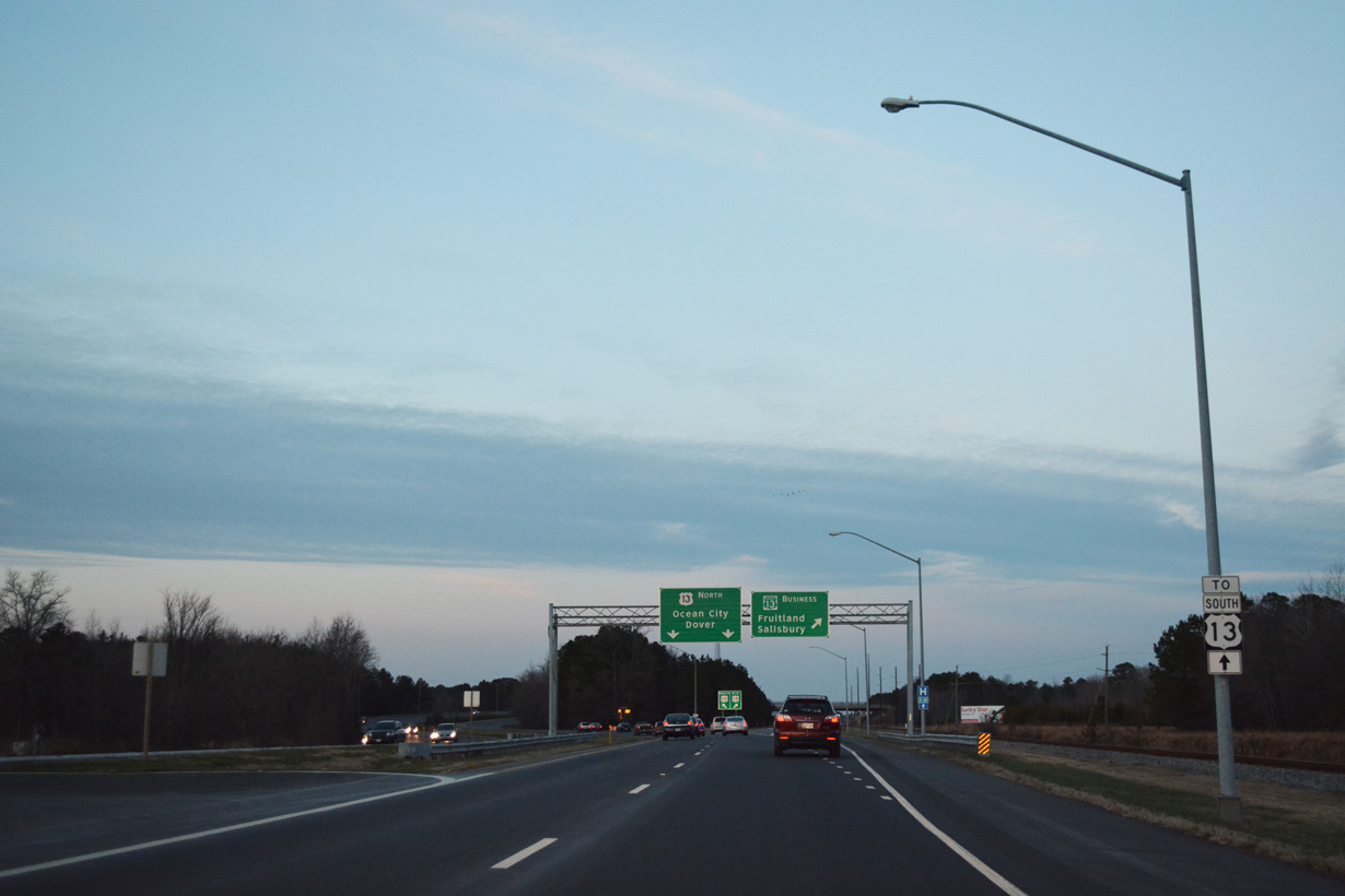
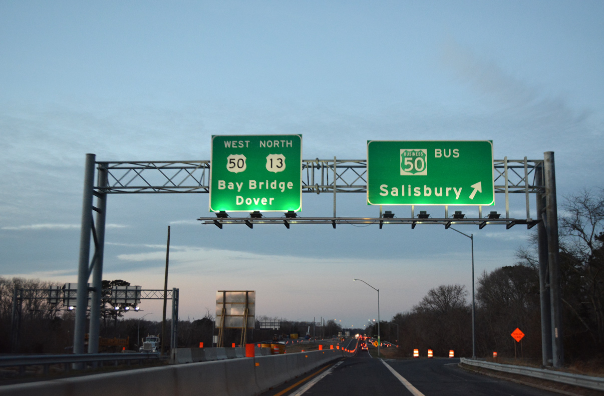
The U.S. 13 mainline bypasses the city along a freeway while U.S. 13 Business serves interests to Downtown.
12/14/17

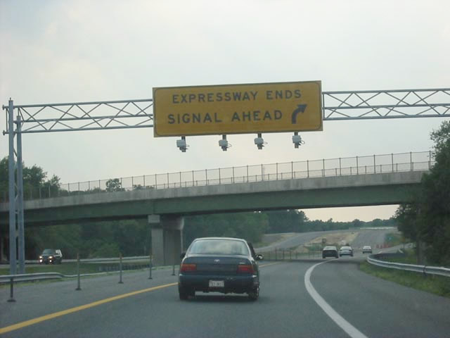
The Salisbury bypass is the lone freeway segment between the Chesapeake Bay Bridge Tunnel and Dover, Delaware.
12/14/17
12/14/17
12/14/17
12/14/17
12/14/17
12/14/17
12/14/17
12/14/17
12/14/17
12/14/17
12/14/17
12/14/17
12/14/17
12/14/17
12/14/17
12/14/17
12/14/17
North  West
West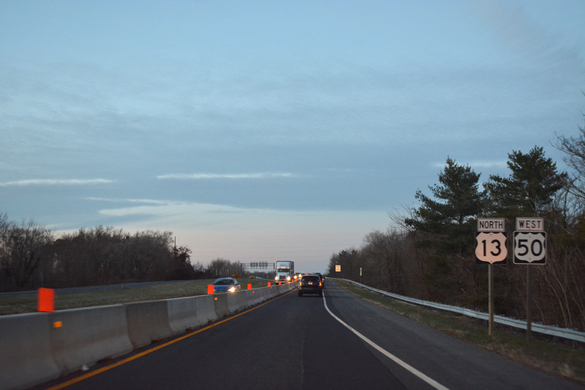
U.S. 50 merges onto U.S. 13 north ahead of the MD 346 (Old Ocean City Road) underpass.
12/14/17
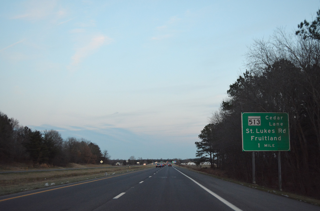
U.S. 13 departs from the Salisbury Bypass for Salisbury Boulevard by the Centre at Salisbury mall in one mile.
12/14/17

12/14/17
U.S. 13 Business ties into the U.S. 13/50 parclo interchange with Salisbury Boulevard north from central Salisbury.
12/14/17
Zion Road spanned U.S. 13 ahead of the original north end at Ocean Highway. Work completed here in 2003 extended the Salisbury Bypass another 3.8 miles west as the new alignment of U.S. 50.
July 2002
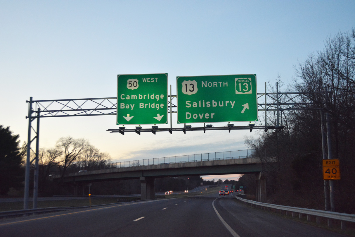
U.S. 13 separates from U.S. 50 west after a 2.5 mile overlap.
12/14/17
U.S. 13 transitions onto a congested commercial arterial leading north to the twin towns of Delmar.
12/14/17

Traveling north through the town of Delmar, U.S. 13 (Ocean Highway) approaches SR 54 / MD 54 (Line Road). MSR 54 runs directly along the state border west to the Delmar, Delaware business district and east to SR 26 and MD 353 near Gumboro.
01/15/17
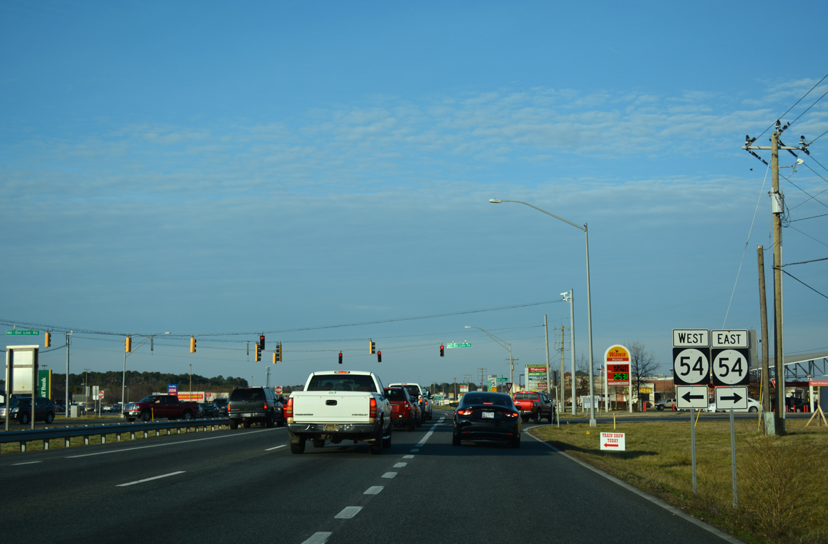
Signed along U.S. 13 (Ocean Highway) north as SR 54, the state route west from U.S. 13 is maintained by MDSHA while DelDOT is responsible for the state route east to Brittingham Road. MSR 54 joins Delmar with Mardela Springs, Maryland to the west and with Selbyville and Fenwick Island, Delaware to the east.
01/15/17
South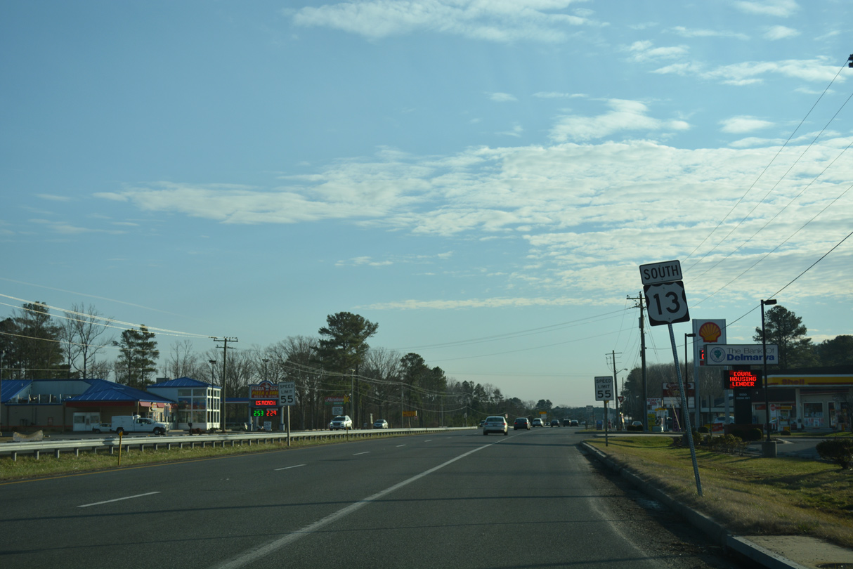
Entering Delmar, U.S. 13 (Ocean Highway) continues from the Delaware state line as a commercial arterial to the Salisbury Bypass.
01/15/17
12/30/17
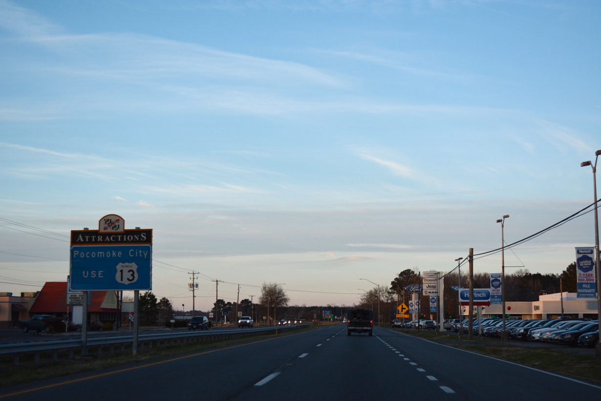
Confirming marker posted after the south end of U.S. 113 in Pocomoke City.
12/30/17
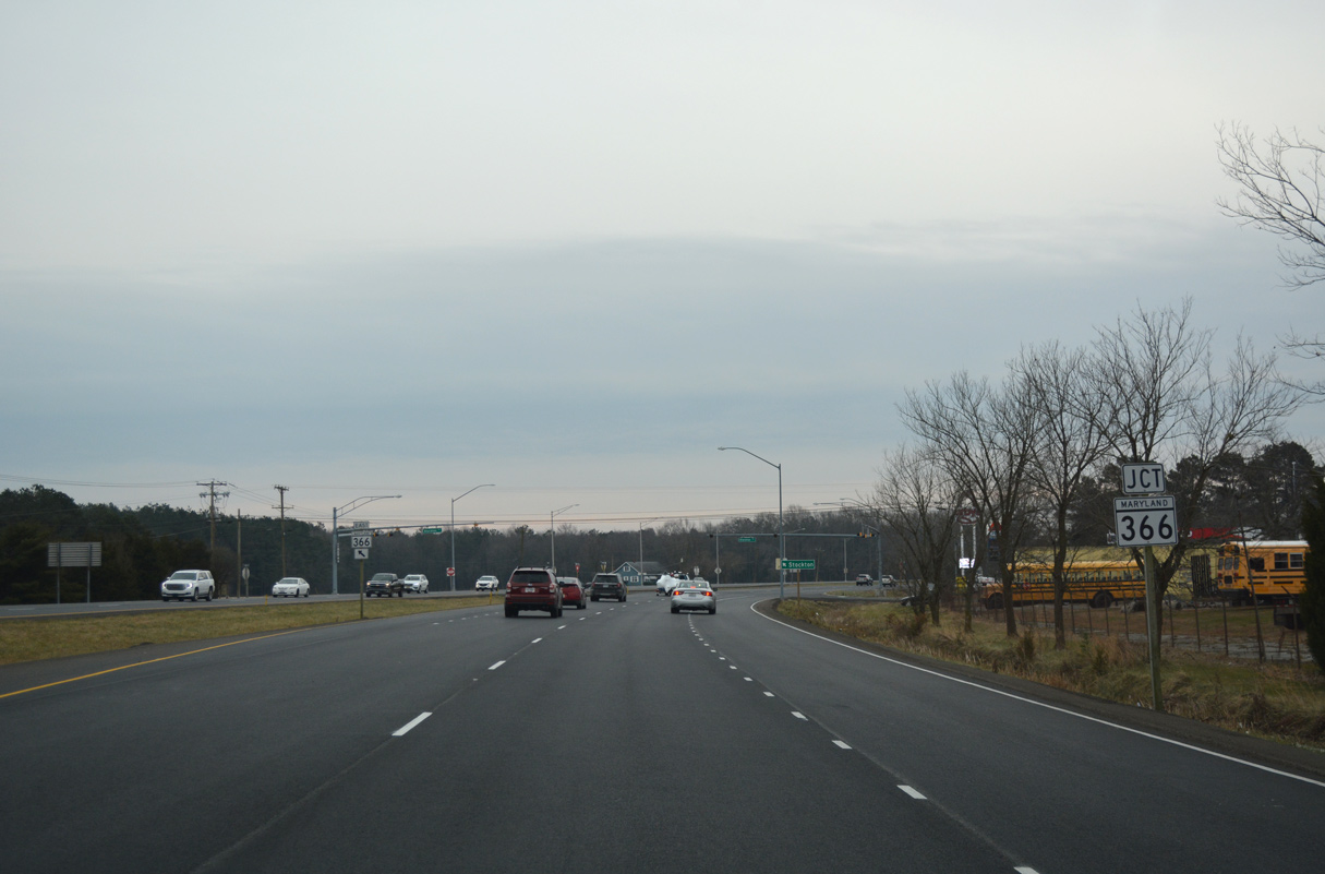
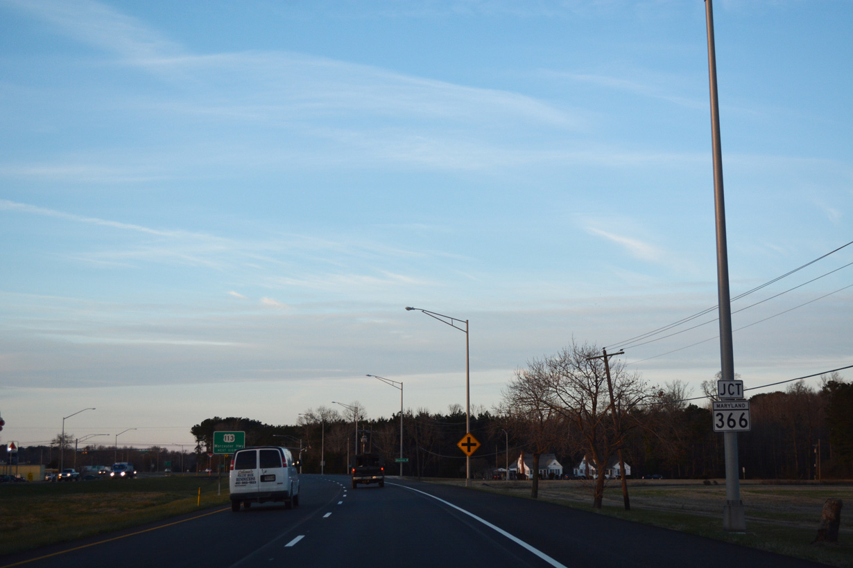
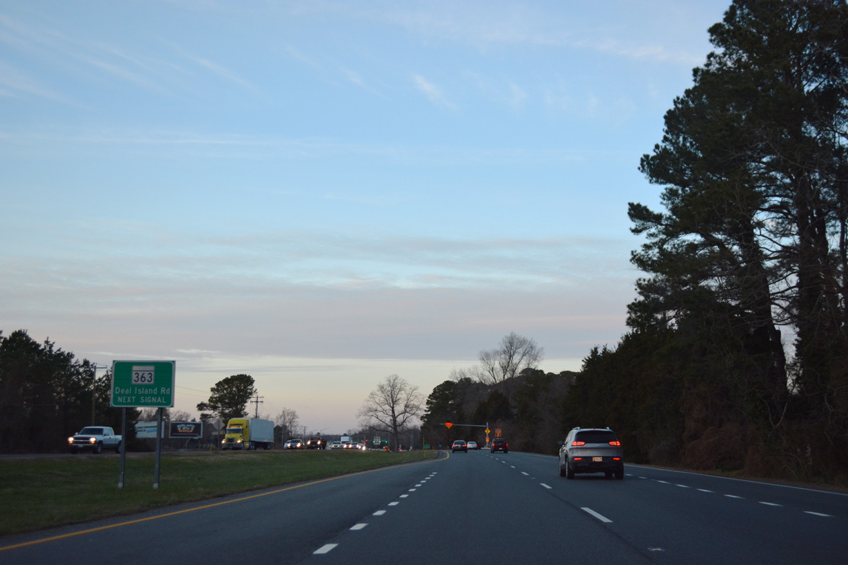
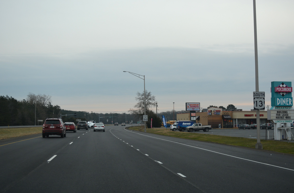
MD 366 (Stockton Road) meets U.S. 13 (Ocean Highway) at the succeeding traffic light.
12/30/17
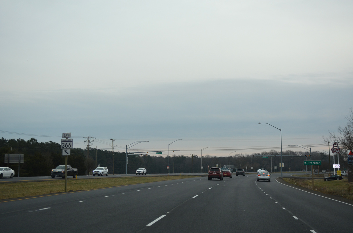
MD 366 travels 7.7 miles east from U.S. 13 to the unincorporated community of Stockton.
12/30/17
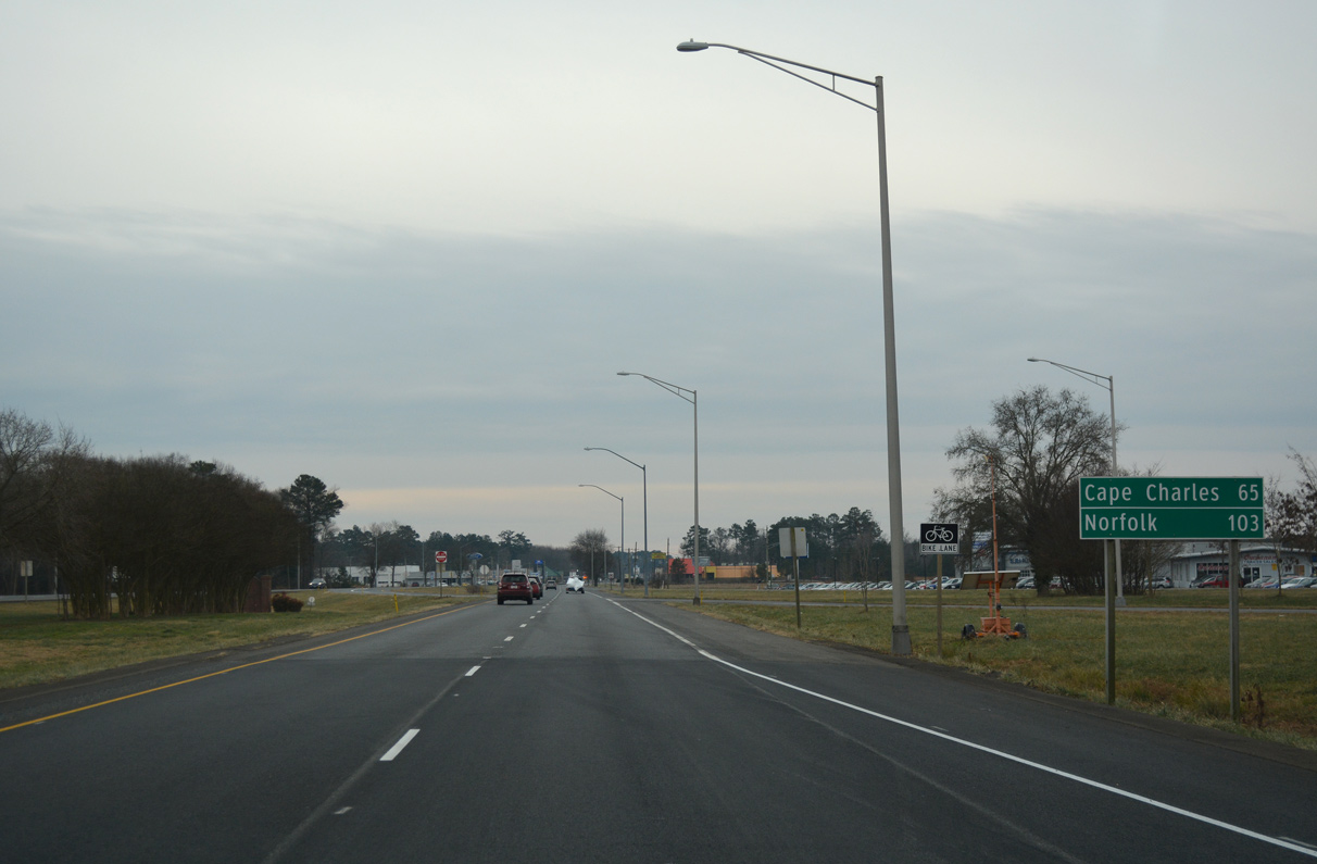
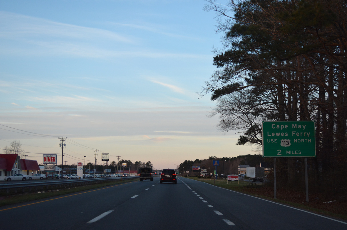
Cape Charles in southern Northampton County, Virginia is 65 miles south of MD 366 at Pocomoke City.
12/30/17
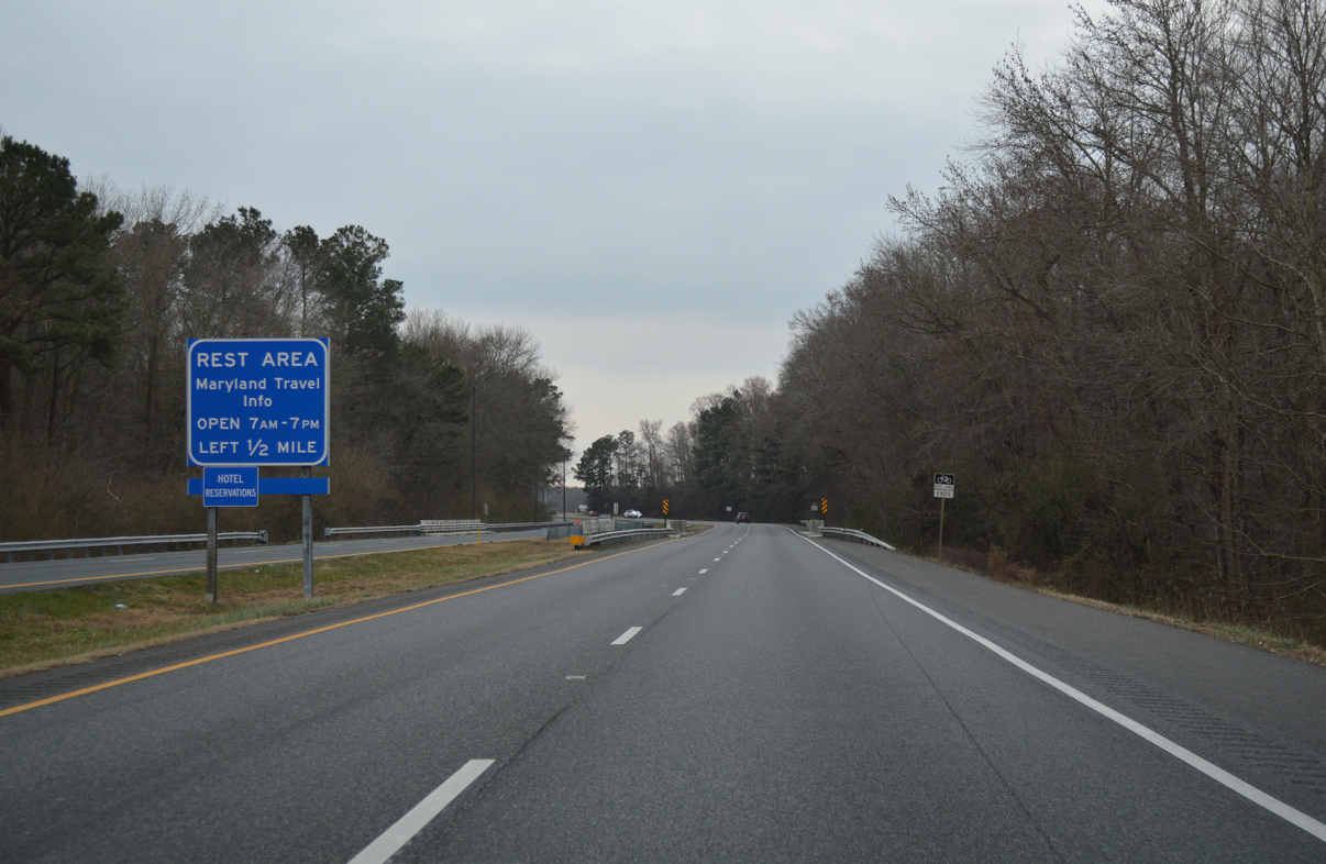
A Maryland welcome center and rest area lines the east side of U.S. 13 just north of the state line.
12/30/17
12/30/17
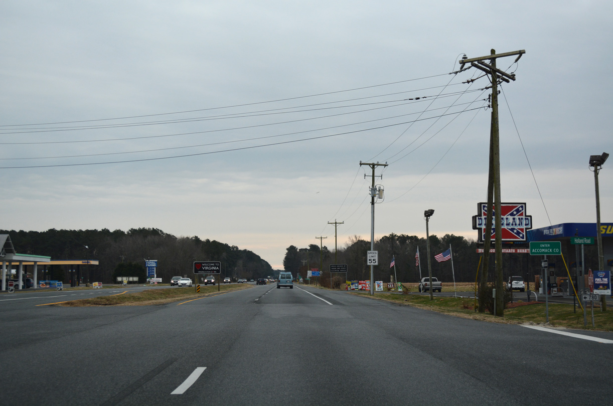
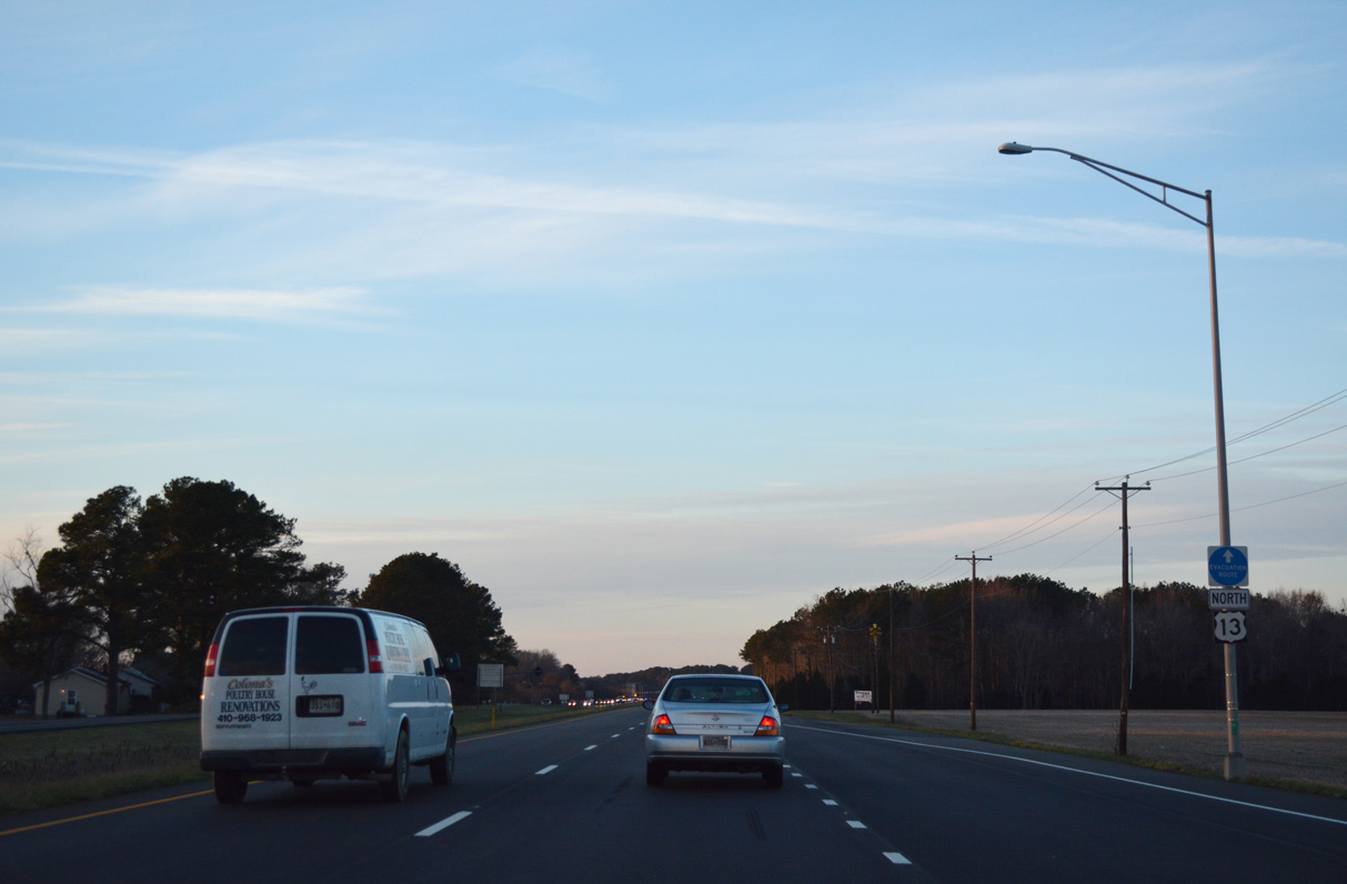
Southbound U.S. 13 crosses into Accomack County, Virginia at Holland Road.
12/30/17
Connect with:
U.S. 50
U.S. 113
Multi State Route 54
Page Updated 06-09-2020.