Arizona 188 travels between Arizona 87 near Jakes Corner and U.S. 60 near Globe, meeting Arizona 88 at Roosevelt Dam after crossing Roosevelt Lake.
Arizona 188 was added to the state highway system in 1959 between Roosevelt Dam and Jakes Corner (Arizona 87). In 2000, the section between Roosevelt Dam and U.S. 60 was transferred from Arizona 88 due to an ADOT policy that two routes should not serve the same destinations.
Arizona 188 originally crossed Roosevelt Dam directly. In 1990, the new bridge crossing Roosevelt Lake opened (as part of the project to raise Roosevelt Dam to handle flood capacity).
|
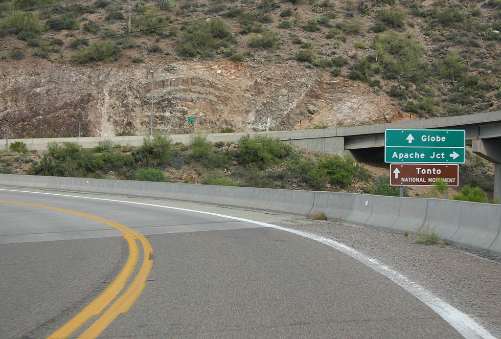
| SR 188 begins at U.S. 60 in Miami. This distance
sign shows distances to SR 288, SR 88, and Payson. 02/10/08 |
|
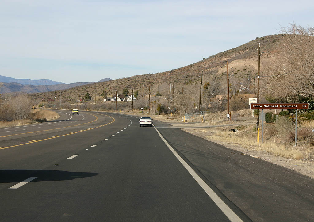
| Distance sign to Tonto National Monument. 02/10/08 |
|
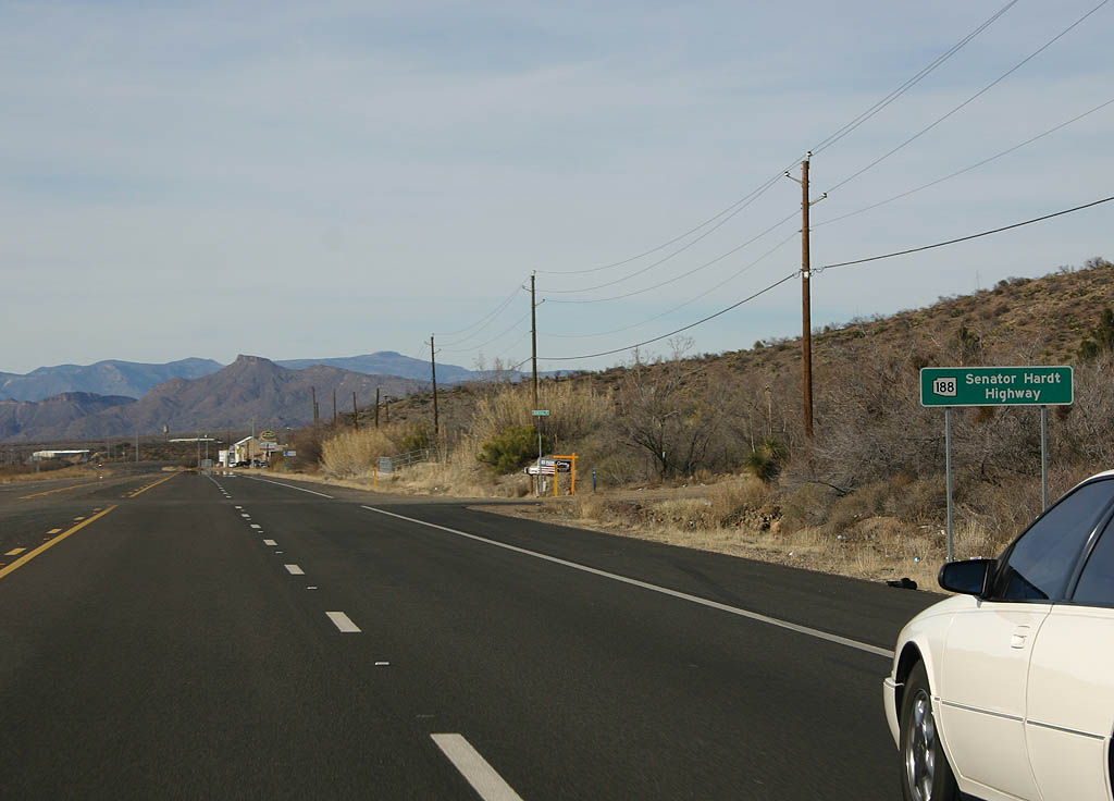
| SR 188 is known as the Senator Hardt Highway. 02/10/08 |
|
| SR 188 remains as a recently reconstructed four
lane configuration for some distance north of U.S. Highway
60. 02/10/08 |
|
| SR 188 now winds around Devore Wash to start climbing
through the Salt River Mountains. 02/10/08 |
|
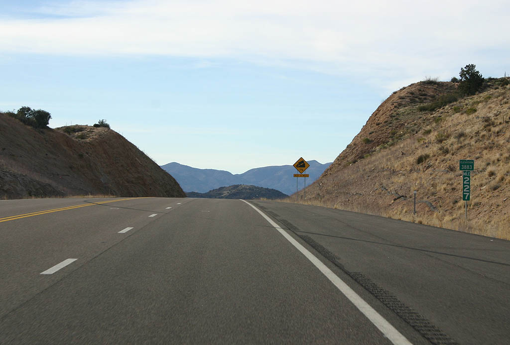
| This unnamed summit (elevation 3883 feet) is the highest
point along SR 188 south of SR 88. 02/10/08 |
|
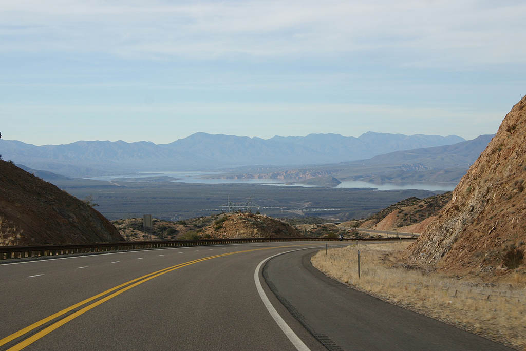
| SR 188 now descends into the Salt River canyon,
and Roosevelt Lake becomes visible. 02/10/08 |
|
| Advance signage for SR 188, 1/4 mile. 02/10/08 |
|
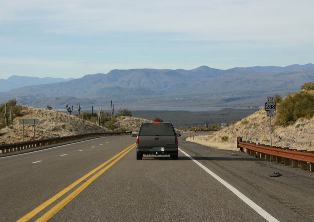
| SR 188 meets SR 288 here, just before reaching
Roosevelt Lake. 02/10/08 |
|
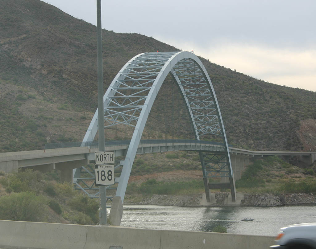
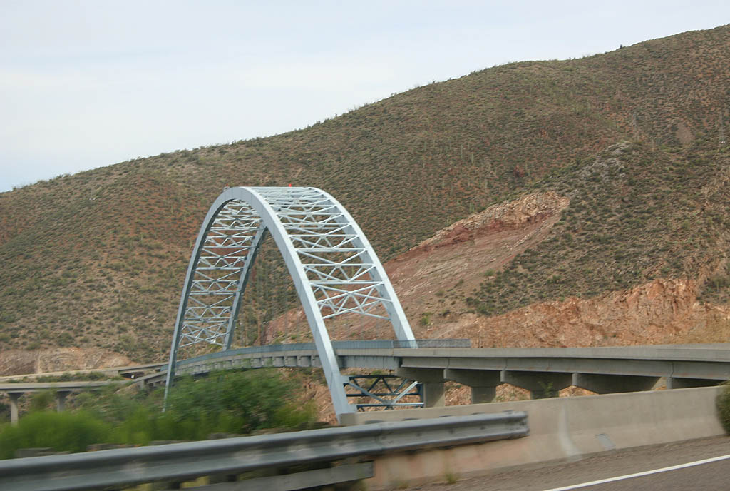
| Jumping just north of SR 88, this shield is seen
with the Roosevelt Lake bridge in the background. 05/26/07 |
|
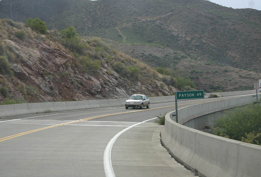
| Distance sign to Payson (49 miles). Payson is not even
on SR 188, but along SR 87. 05/26/07 |
|
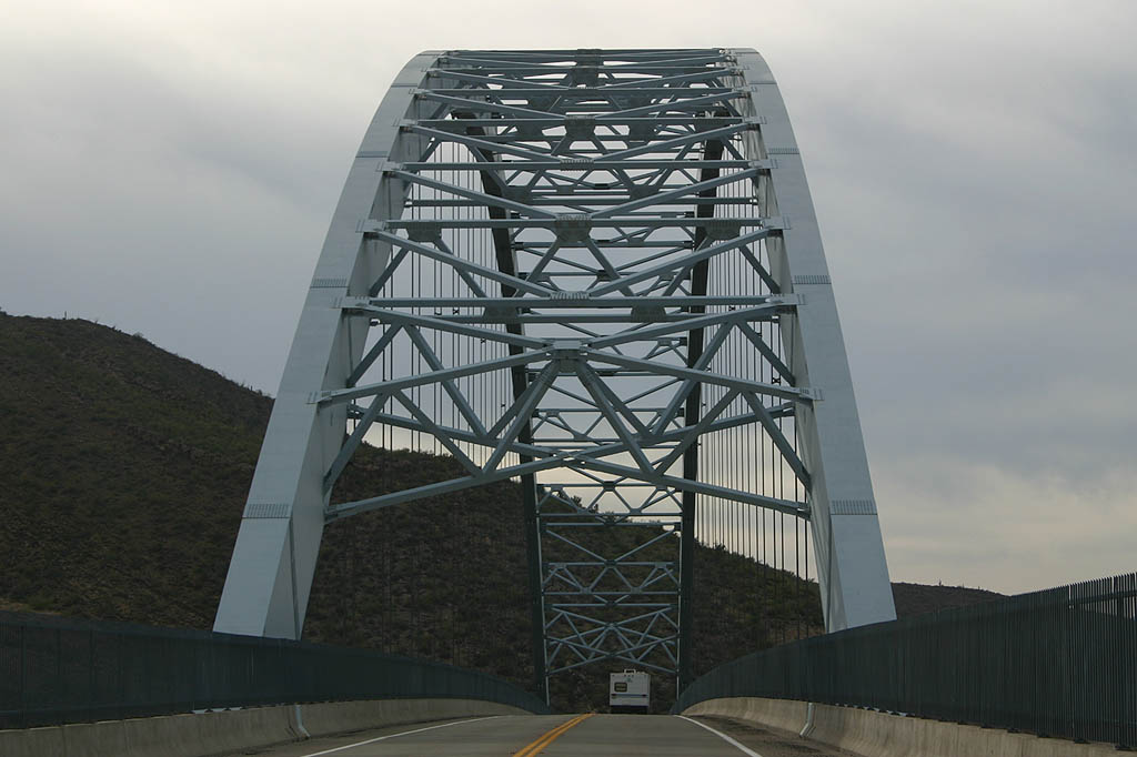
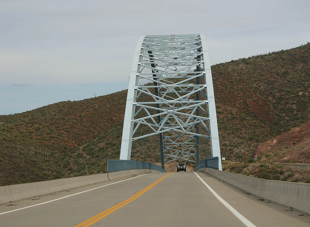
| Passing under the arch of the Roosevelt Lake bridge on SR 188 north. 05/26/07 |
|
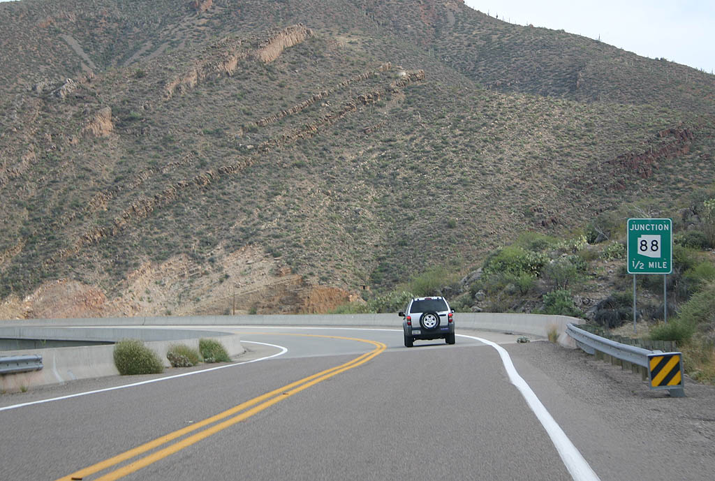
| Advance signage for SR 88, 1/2 mile. 05/26/07 |
|
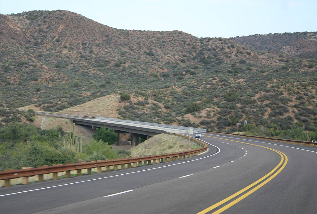
| The SR 188 bridge was constructed to replace the former crossing along Roosevelt Dam. 05/26/07 |
|
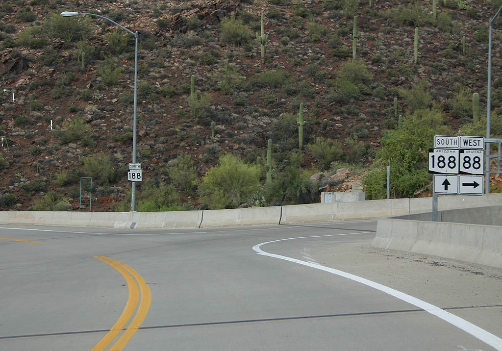
| Turn right on SR 88 to reach Apache Junction, or
continue on SR 188 to reach Globe. 05/26/07 |
|
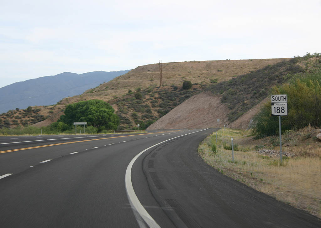
| SR 88 separates from SR 188 here. Until 2000,
this marked the end of SR 188, before the route assumed
mileage from SR 88. 05/26/07 |
|
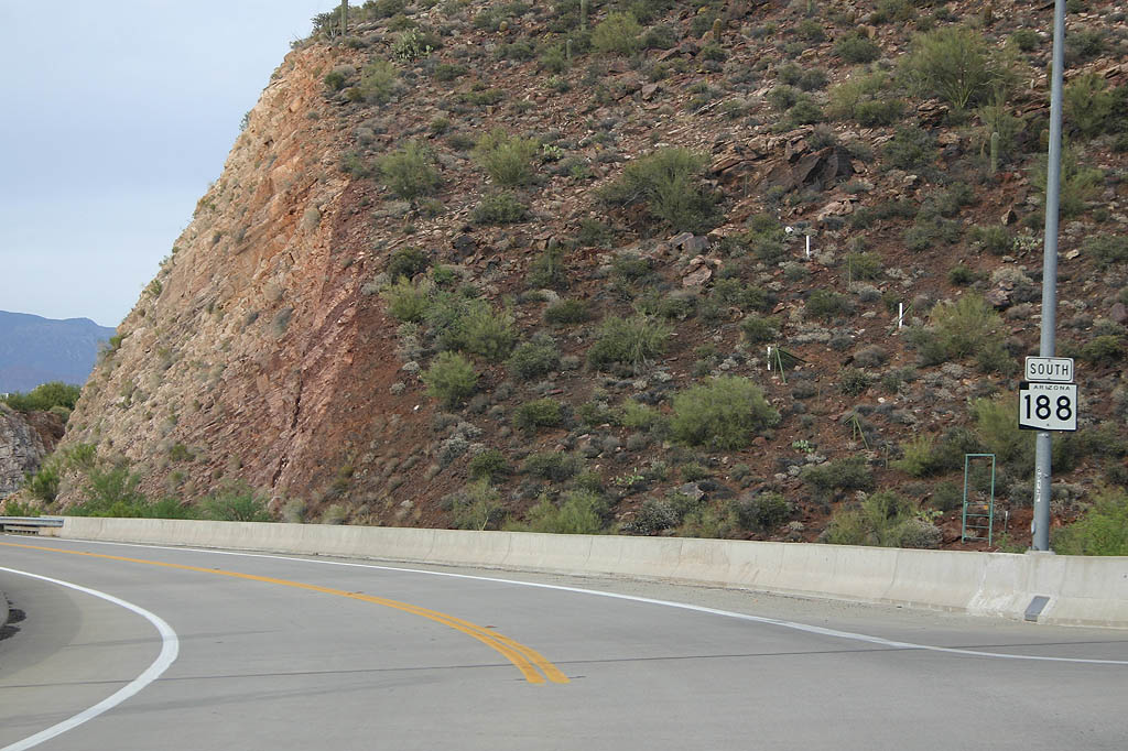
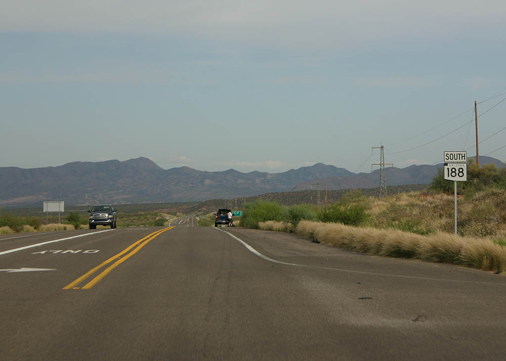
| This is the first reassurance marker south of Arizona
88. 05/26/07 |
|
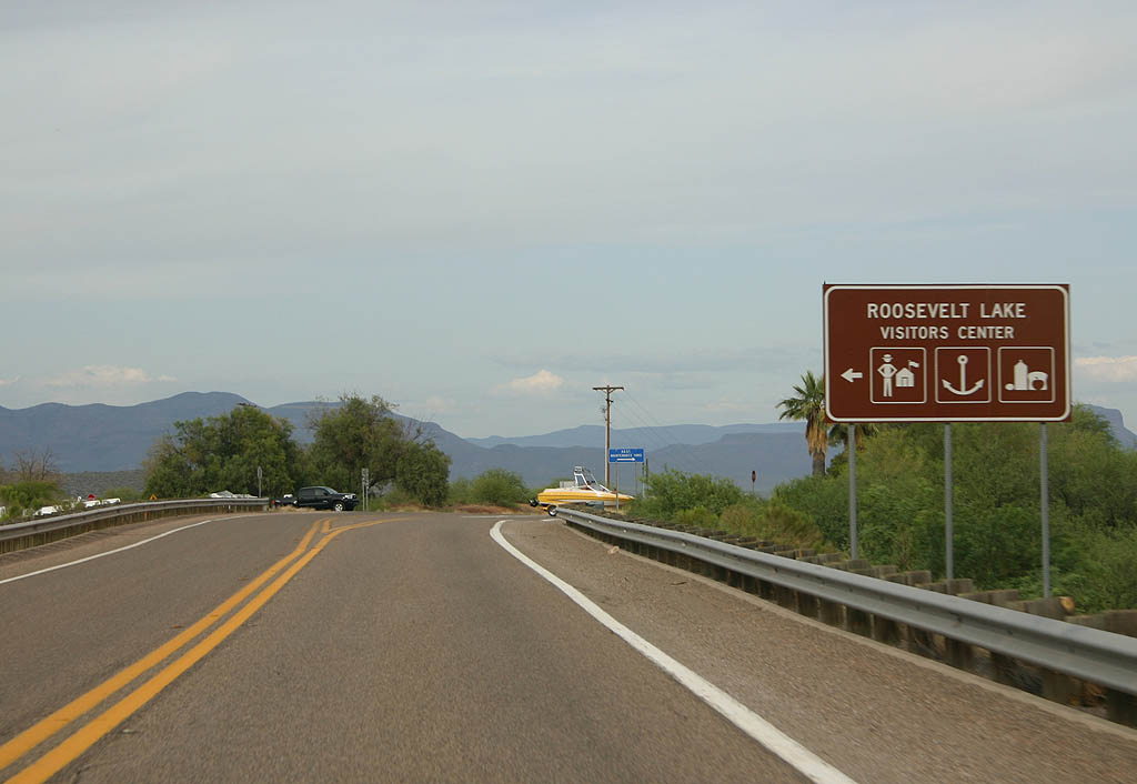
| SR 188 meets the Roosevelt Lake Visitors Center here. The road parallels the shoreline for quite a distance. 05/26/07 |
|
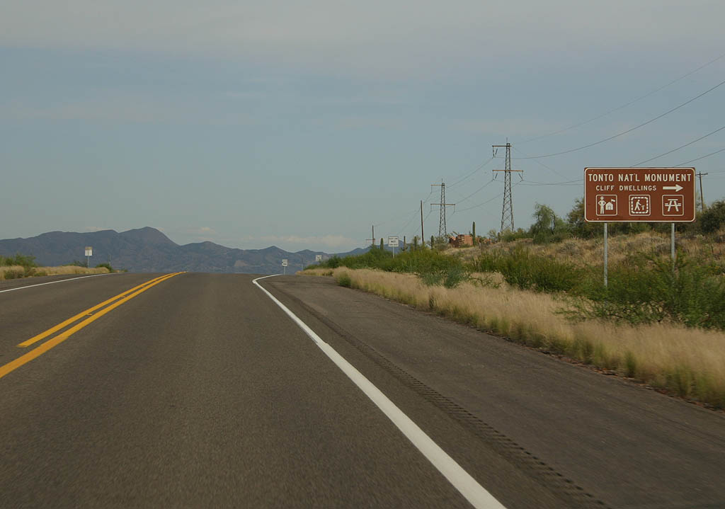
| Turn right here to access Tonto National Monument. The monument features two well-preserved cliff dwellings overlooking Roosevelt Lake. 05/26/07 |
|
| This reassurance marker is seen just south of Tonto
National Monument. In the background are the Salt River
Mountains. 05/26/07 |
|
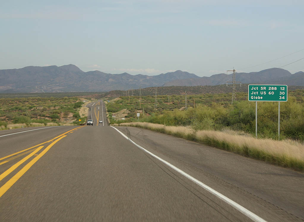
| Distance sign to SR 288 (12 miles), U.S. 60 (30
miles) and Globe (34 miles). 05/26/07 |
|
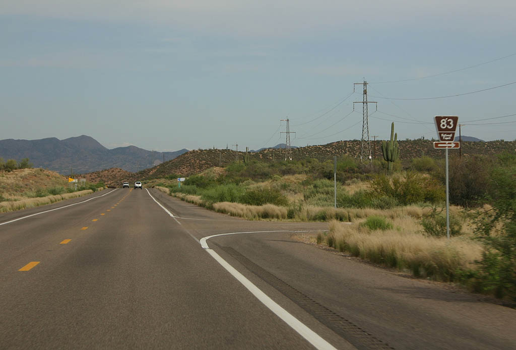
| SR 188 meets Forest Service Road 83 here. 05/26/07 |
|
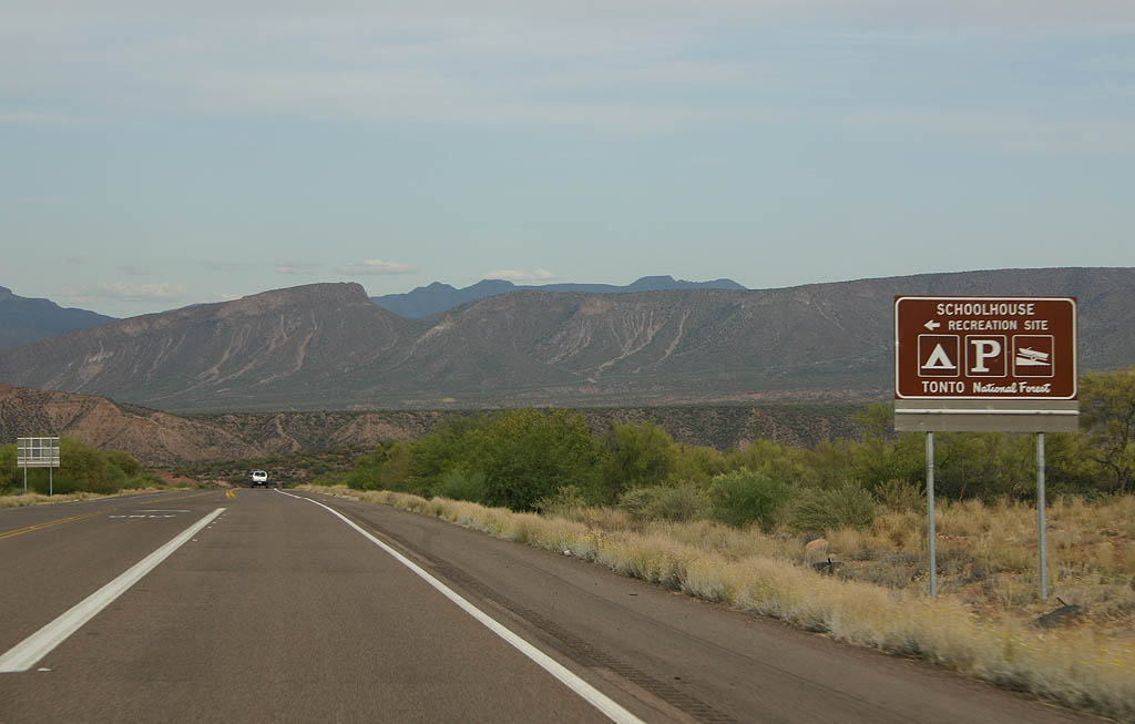
| Turn right to reach the Schoolhouse Recreation Site,
which offers a boat launch into Roosevelt Lake and camping.
At the time of this writing (December 2007), this recreation
site was closed due to low lake levels. 05/26/07 |
|
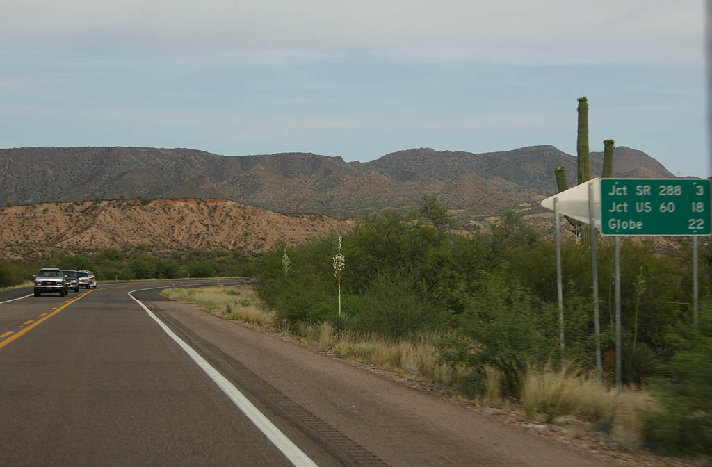
| Distance sign to SR 288 (3 miles), U.S. Highway
60 (18 miles) and Globe (22 miles). 05/26/07 |
|
| SR 188 now begins a slow climb away from Roosevelt
Lake to gain elevation along the alluvial fan. 05/26/07 |
|
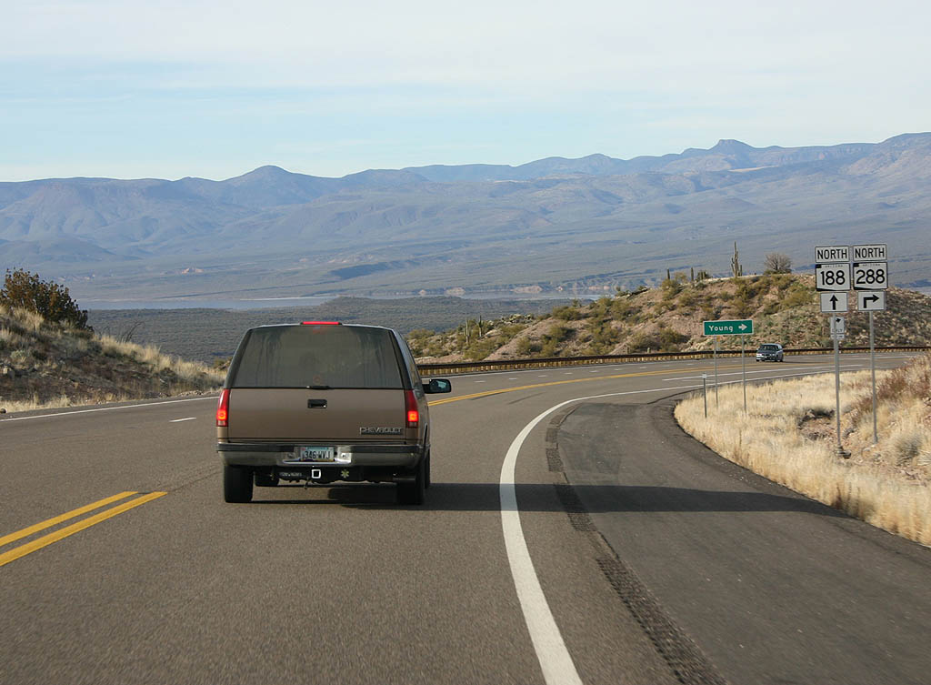
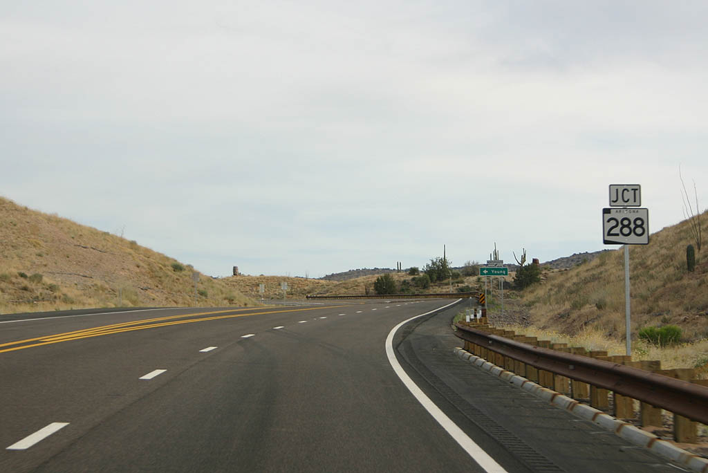
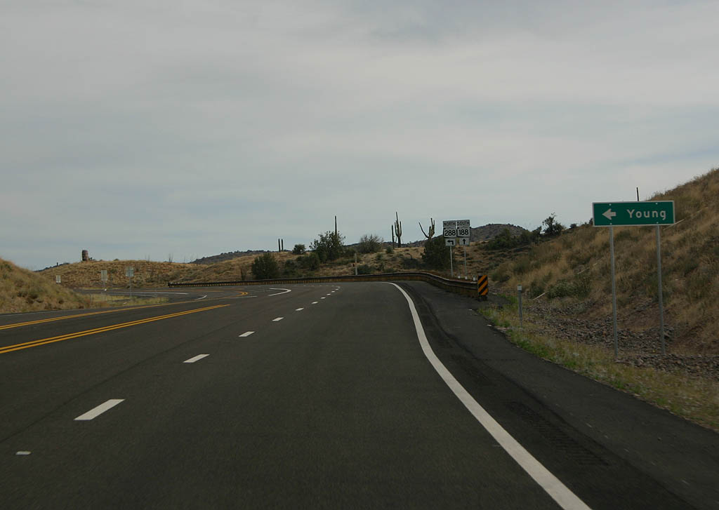
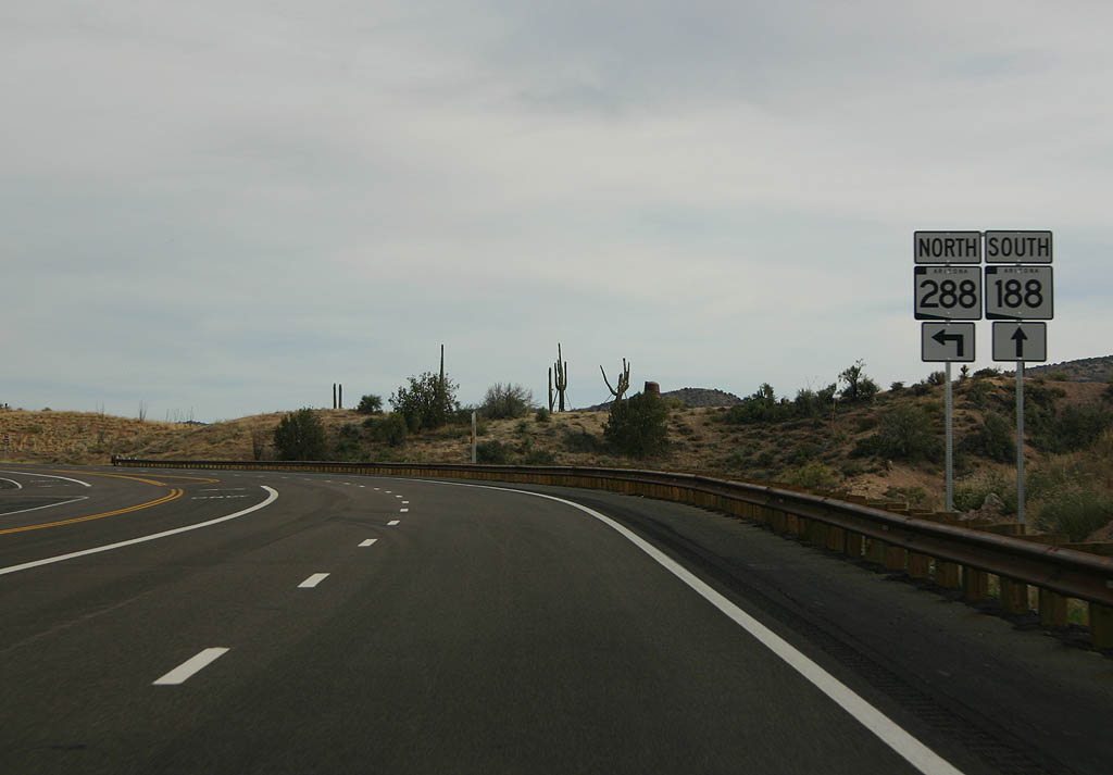
| The next intersection is SR 288. SR 288 is
a mostly unpaved road that travels north to Young. 05/26/07 |
|
| Turn left here to take SR 288 northbound, or continue
ahead on SR 188 to U.S. Highway 60. 05/26/07 |
|
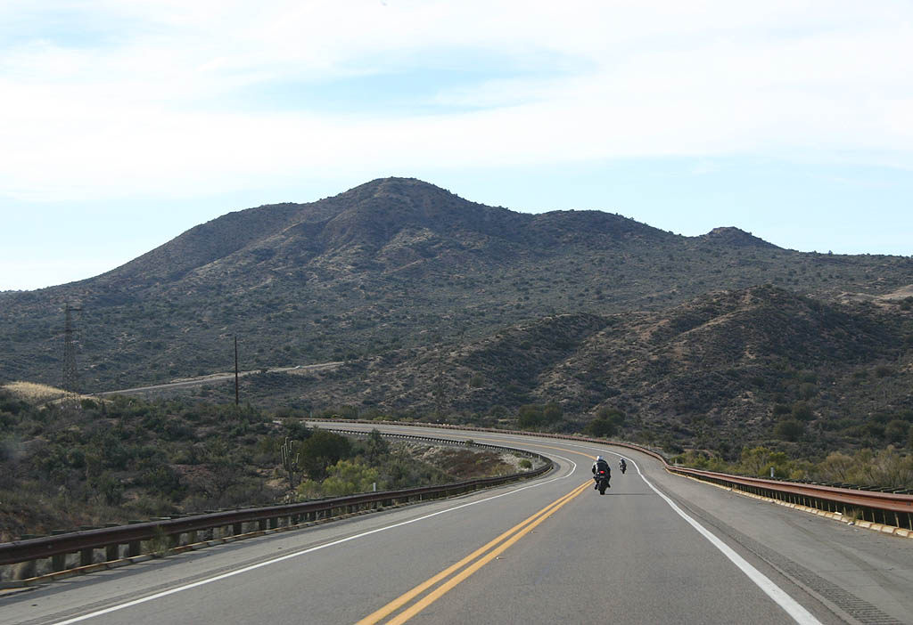
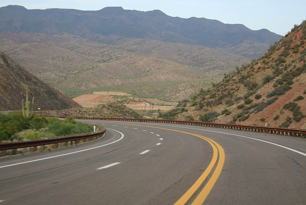
| SR 188 now begins a climb through the Salt River
Mountains. 05/26/07 |
|
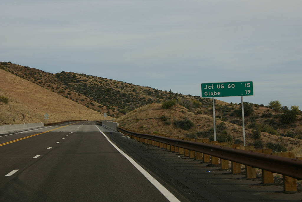
| Distance sign to U.S. Highway 60 (15 miles) and Globe
(19 miles). This section of highway was reconstructed
in 2005. 05/26/07 |
|
| SR 188 climbs in elevation, ultimately reaching 3,968 feet above sea level. 05/26/07 |
|
| SR 188 crosses Devore Wash here on this 2005-vintage
bridge. 05/26/07 |
|
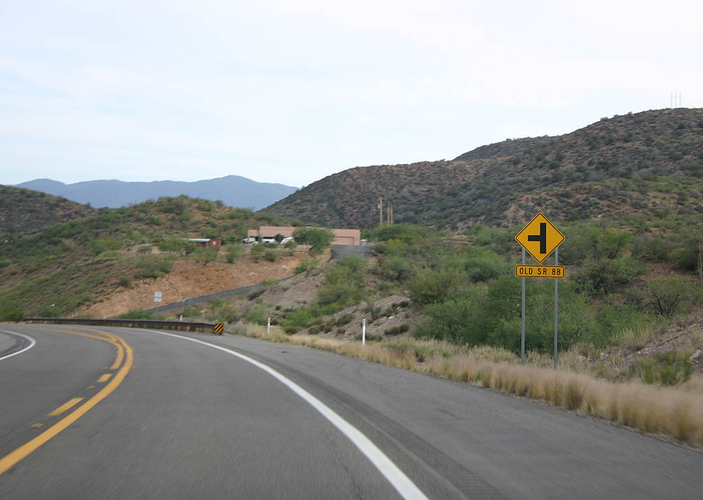
| SR 188 meets old SR 88 here. As part of the reconstruction, numerous cut off segments of old SR 88/188 were relinquished to Gila County after completion of the present highway in 2001. 05/26/07 |
|
| This recent (2006) section of SR 188 is four lanes
wide as we near Claypool and the Miami Smelter. 05/26/07 |
|
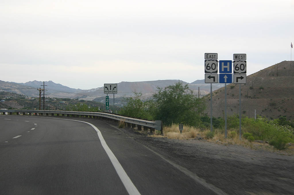
| SR 188 meets U.S. Highway 60 here. Turn left on
U.S. Highway 60 to reach Globe, or turn right to head
to Superior and Phoenix. 05/26/07 |
Page Updated 12-07-2007.