|
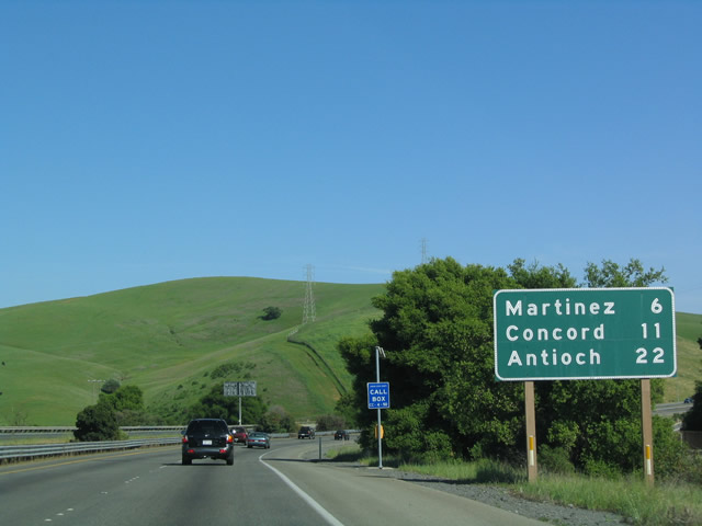
| Winding southeast from the interchange with Cummings Skyway, SR 4 traverses Franklin Canyon en route to Martinez. 04/02/04 |
|
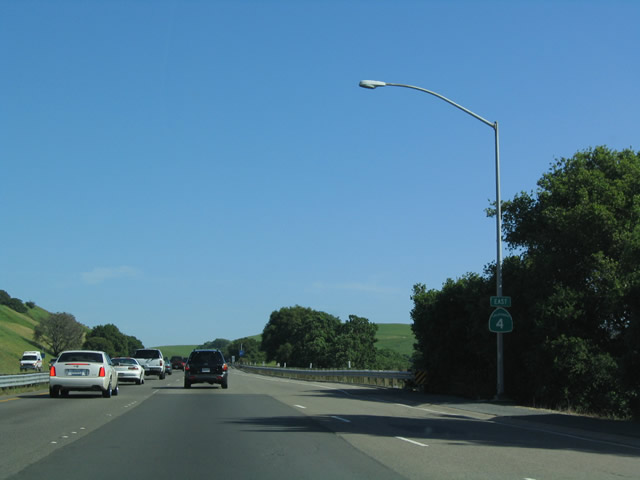
| A reassurance marker was posted beyond the entrance ramp from Mc Ewen Road (Exit 6 on SR 4 west). It was removed after 2011. 04/02/04 |
|
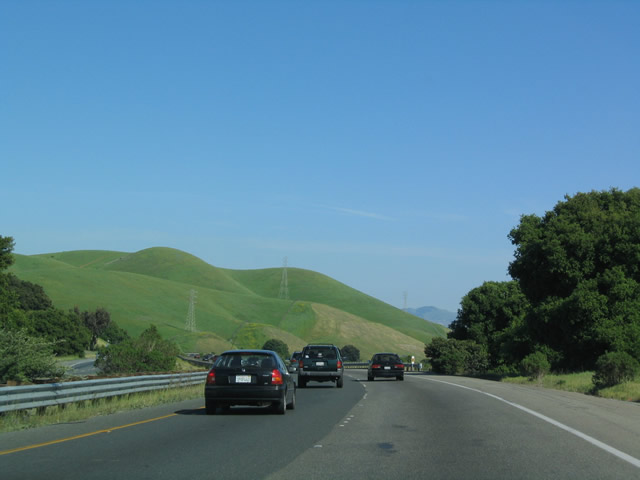
| Continuing east, SR 4 rises above adjacent Franklin Canyon. 04/02/04 |
|
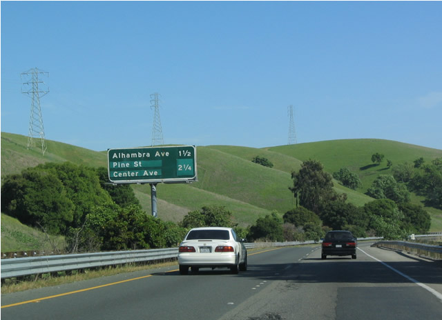
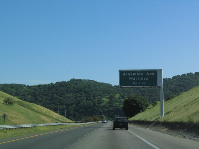
| Interchange sequence sign posted 1.5 miles ahead of the diamond interchange (Exit 9) with Alhambra Avenue in the city of Martinez. 04/02/04 |
|
| Alhambra Avenue serves residential areas through Alhambra Valley, located between Mount Helen and Martinez Ridge. 04/02/04 |
|
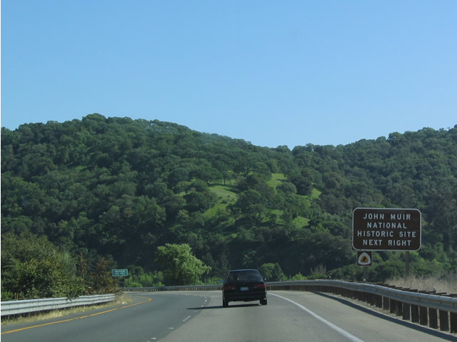
| The John Muir National Historic Site, which is the location of the mansion in which John Muir lived between 1890 and his death in 1914, is located just off of Alhambra Avenue north of SR 4. 04/02/04 |
|
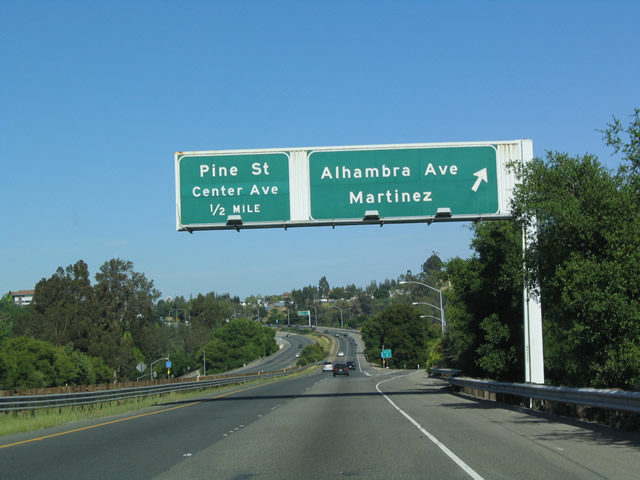
| SR 4 eastbound reaches Exit 9 for Alhambra Avenue. Home to around 35,000, Martinez is the seat of Contra Costa County. The city is the birthplace of the martini, which was first publicized outside of Martinez in 1849. 04/02/04 |
|
| SR 4 arcs across the south side of Martinez through the two succeeding interchanges. 04/02/04 |
|
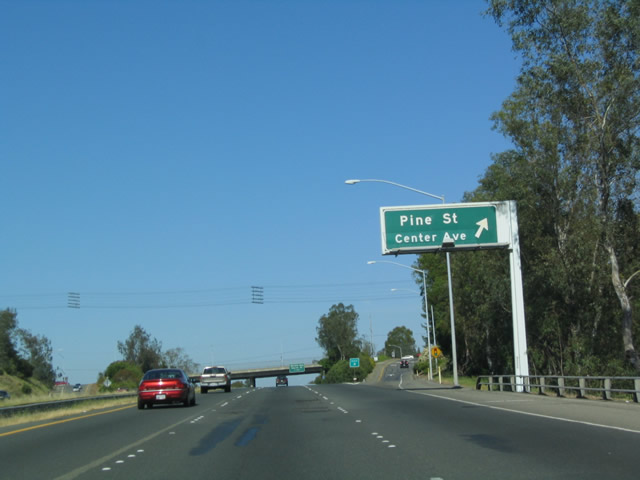
| Entering the diamond interchange (Exit 10) with Center Avenue on SR 4 east. Center Avenue comprises a commercial arterial extending south from Pine Street and Howe Road. 04/02/04 |
|
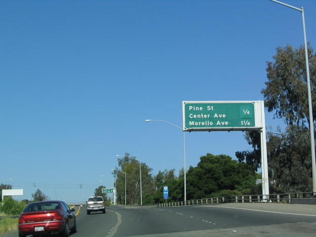
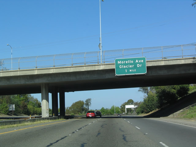
| SR 4 advances one mile east from Center Avenue to a diamond interchange (Exit 11) with Morello Avenue. 04/02/04 |
|
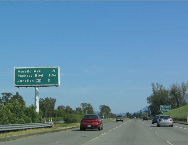
| Two miles ahead of Interstate 680 on SR 4 east in Martinez. 04/02/04 |
|
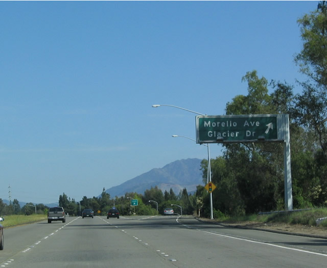
| Exit 11 departs SR 4 east for Morello Avenue, an arterial route through southeast Martinez. Glacier Drive ties into the frontage road system of John Muir Parkway one mile to the east. 04/02/04 |
|
| John Muir Parkway leaves the Martinez city limits through unincorporated areas of Contra Costa County at the upcoming exchanges with Pacheco Boulevard and I-680. 07/06/06 |
|
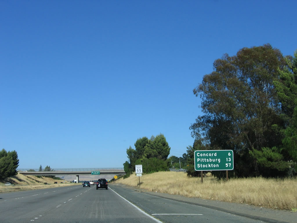
| The city of Concord lies six miles ahead, though SR 4 enters the municipality at Exit 13. 07/06/06 |
|
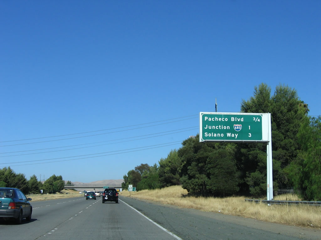
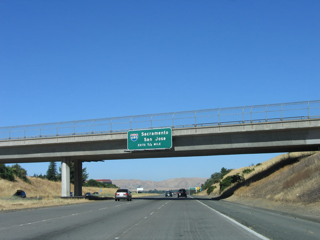
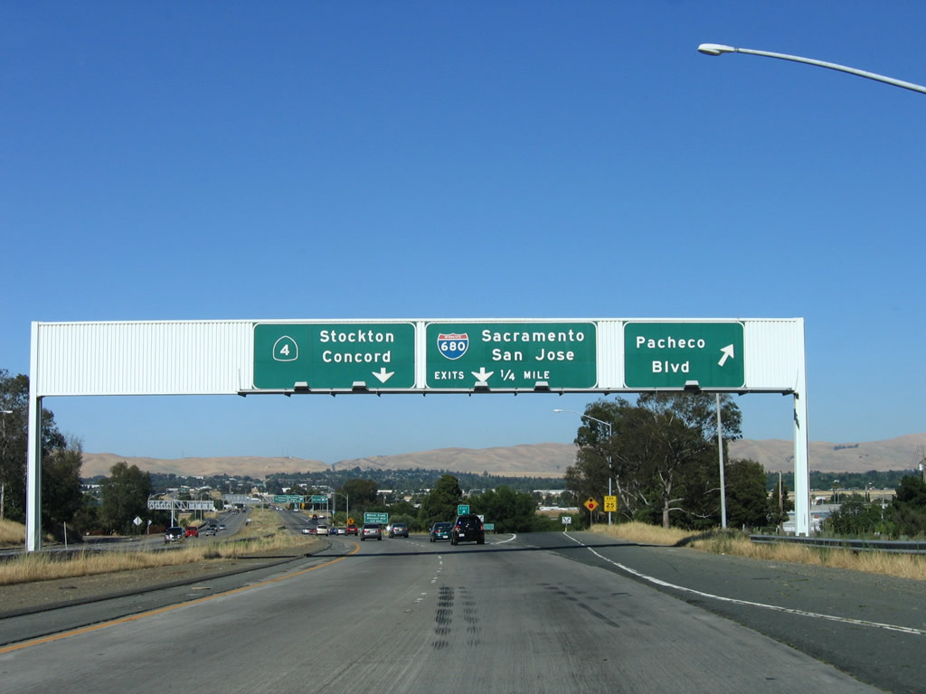
| Still ahead of the off-ramp for Pacheco Drive (Exit 12A), guide signage references the cloverleaf interchange (Exits 12B/C) with I-680. Interstate 680 is the main north-south freeway corridor through the San Ramon Valley to the south and to the Solano Lowlands to the north. 07/06/06 |
|
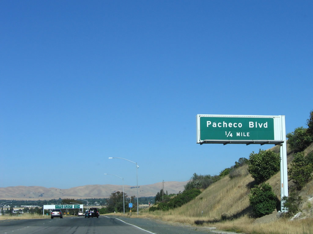
| Pacheco Boulevard leads northwest into Downtown Martinez and southeast into Pacheco and Pleasant Hill. 07/06/06 |
|
| Entering the folded diamond interchange (Exit 12A) with Pacheco Boulevard on SR 4 east. Exit 12B quickly follows for I-680 south to SR 24 en route to San Jose. 07/06/06 |
|
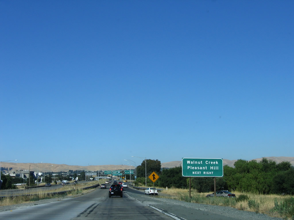
| Interstate 680 runs south between the cities of Pleasant Hill and Concord to Walnut Hill and the exchange with SR 24. 07/06/06 |
|
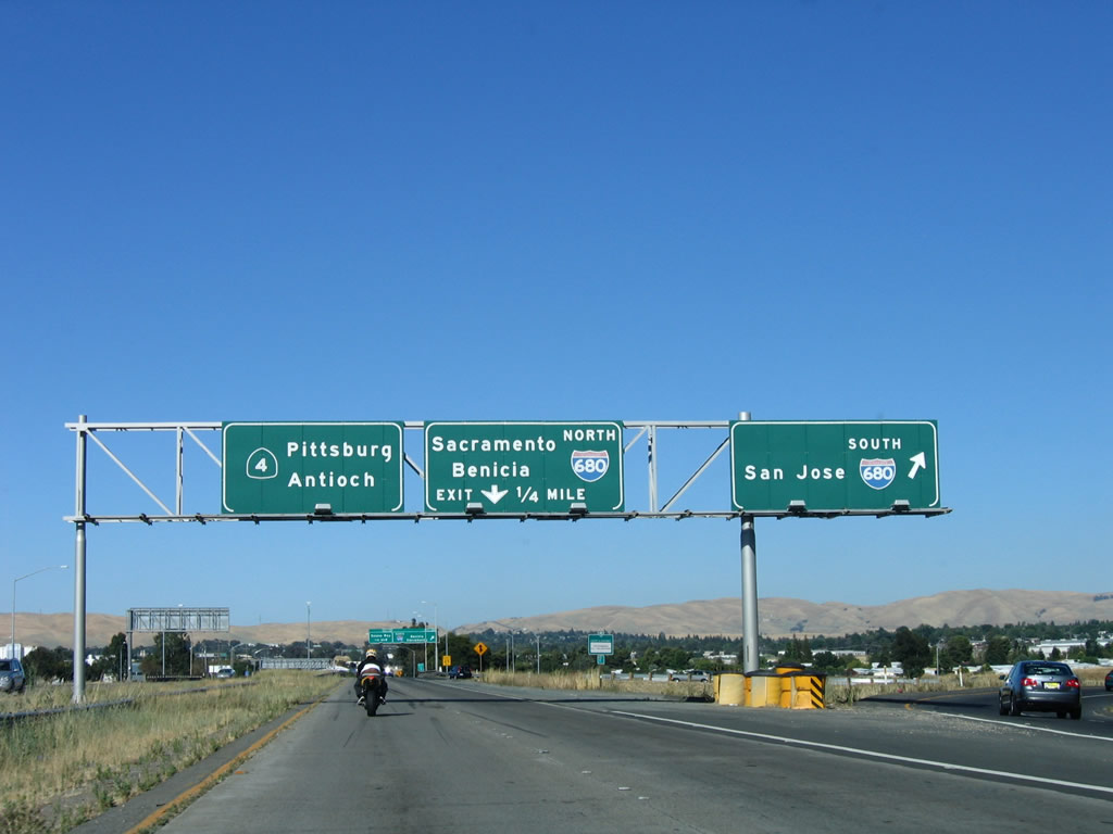
| Exit 12B leaves SR 4 (John Muir Parkway) east for I-680 south to SR 24 west for Oakland and San Francisco and I-580 east to the Central Valley, Fresno, and Southern California. 07/06/06 |
|
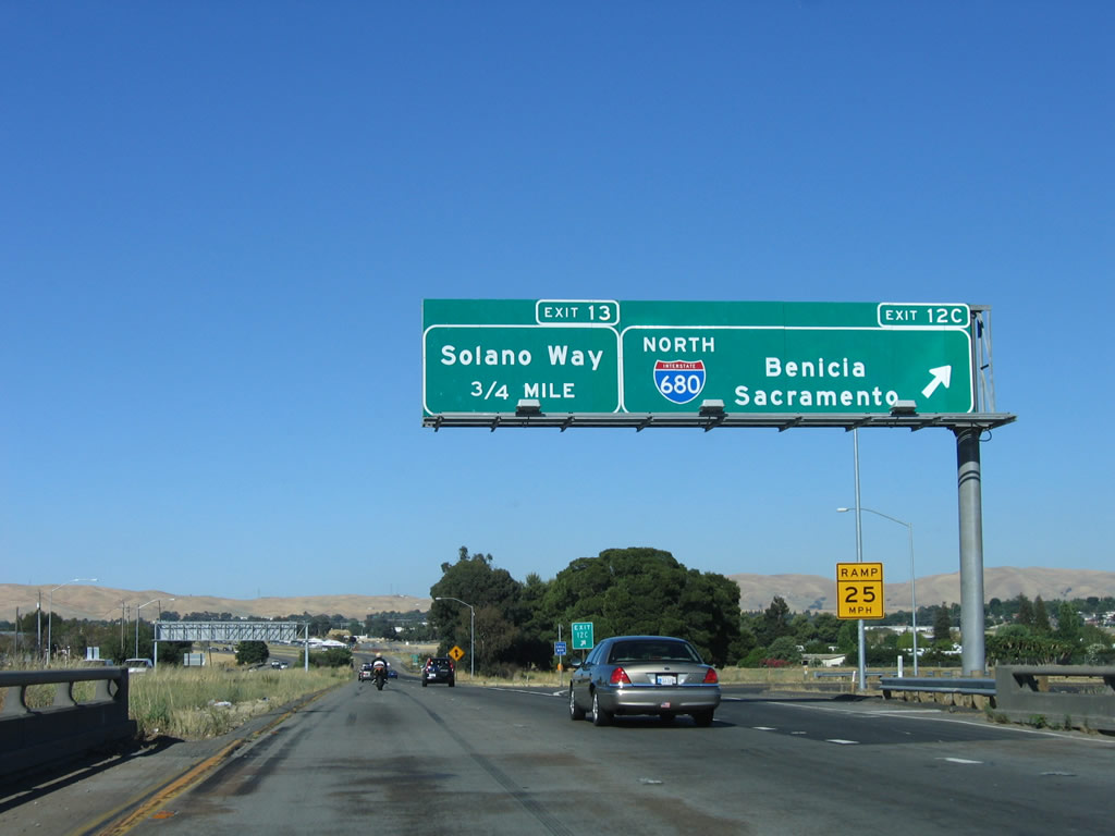
| Signs at Exit 12C were installed in 2004. North from SR 4, I-680 spans the Benicia-Martinez Bridge to I-780 west at Benicia and I-80 at Fairfield. 07/06/06 |
Page Updated 07-19-2018.

 East
East