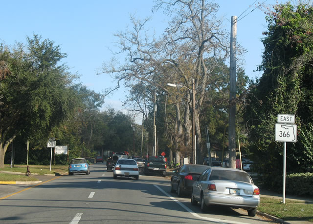
State Road 366 joins SR 20 (Blountstown Highway) east of SR 263 (Capital Circle Southwest) with SR 371 (Lake Bradford Road) at Florida State University (FSU). The 3.16 mile route follows West Pensacola Street east from Tallahassee Community College to Stadium Drive. Encircling Doak Campbell Stadium to the south, SR 366 takes Stadium Drive to SR 371 at Varsity Drive.
Previously SR 366 continued east from Doak Campbell Stadium and SR 371 to SR 61 (Monroe Street) at the Florida State Capitol. The alignment separated along a combination of St. Augustine and Madison Streets eastbound and Pensacola Street westbound. SR 371 also extended east, paralleling SR 366 to the south along Gaines Street. All three streets were relinquished to the city of Tallahassee.
|
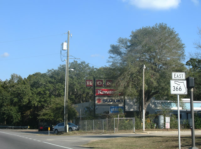
| SR 366 extends W Pensacola Street east from the turn of SR 20 north onto Blountstown Street. The first confirming marker stands just beyond SR 20 and Nina Road. 12/11/07 |
|
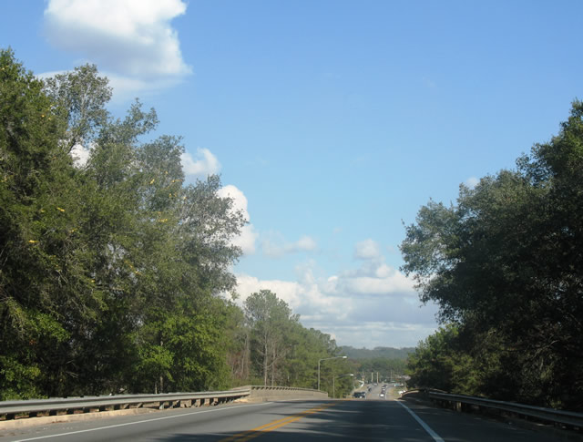
| A bridge built in 1963 along SR 366 (Pensacola Street) spans a CSX Railroad line between SR 20 and Century Park Drive. 12/11/07 |
|
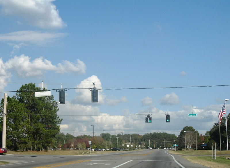
| East of the CSX underpass, SR 366 (Pensacola Street) intersects Progress Drive. Progress Drive leads north to West Pensacola Street Business Park and Tallahassee Community College. 12/11/07 |
|
| Appleyard Drive stems north from Jackson Bluff Road to meet SR 366 (Pensacola Street) at the southeast corner of the Tallahassee Community College campus. The arterial extends northward to Mission Road. 12/11/07 |
|
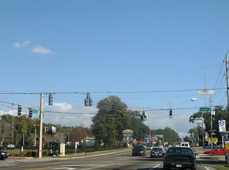
| SR 366 (Pensacola Street) advances east to traffic lights with Dupree Street south, White Drive north and Ausley Road at the Prince Murat Hills neighborhood. Ausley Road leads south to Jackson Bluff Road at the Caroline Courts subdivision. 12/11/07 |
|
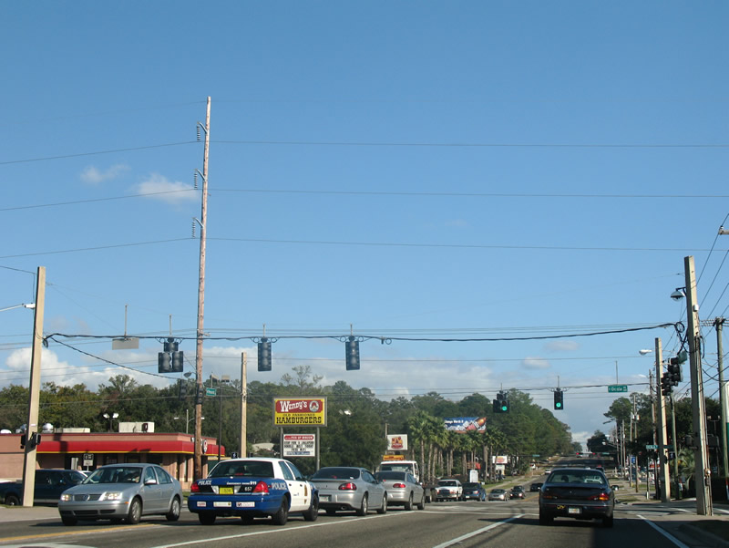
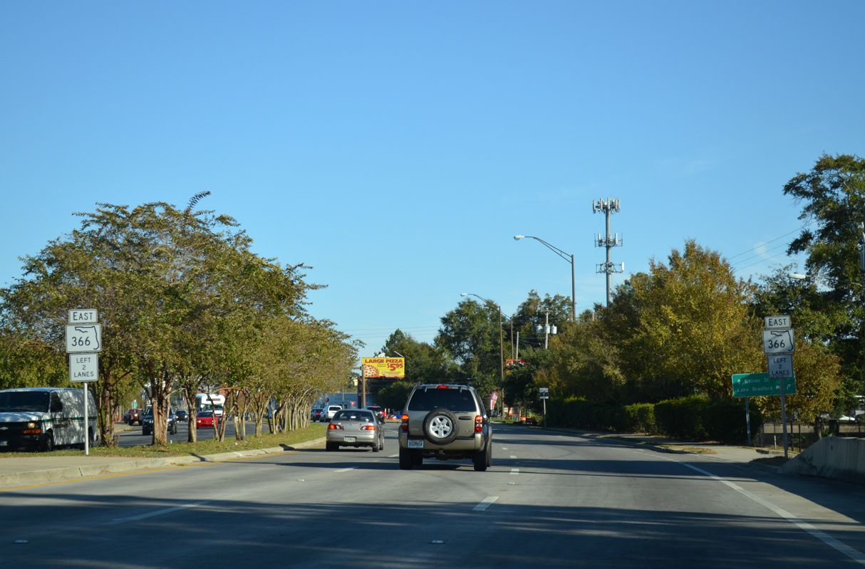
| Following Ausley Road along SR 366 is the traffic light with Ocala Road. Ocala Road travels north from Bellevue Way to U.S. 90 (Tennessee Street), San Luis Mission Park, and CR 158 (Tharpe Street). 12/11/07 |
|
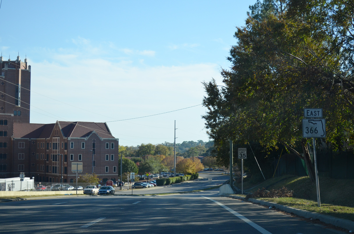
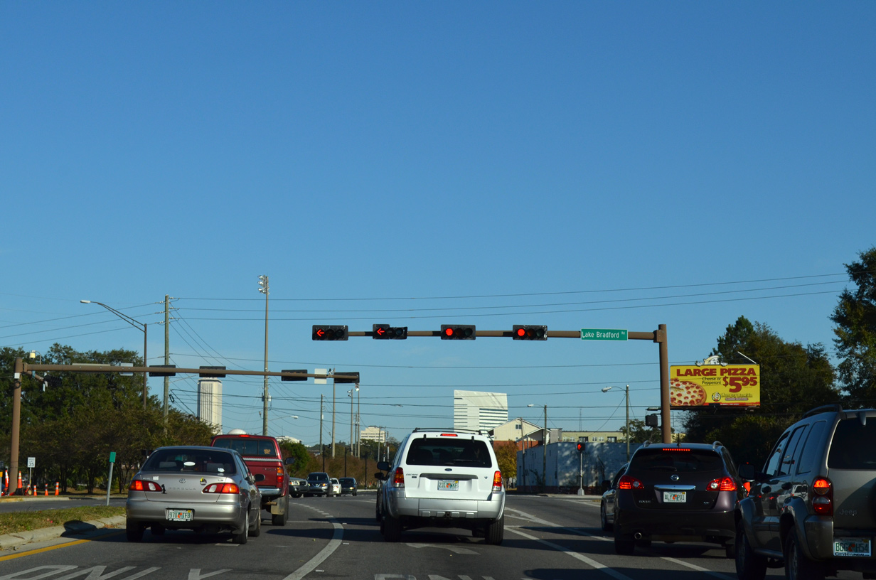
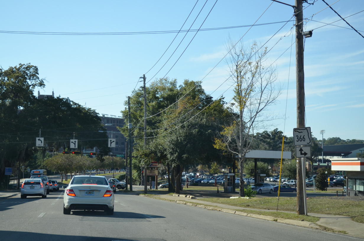
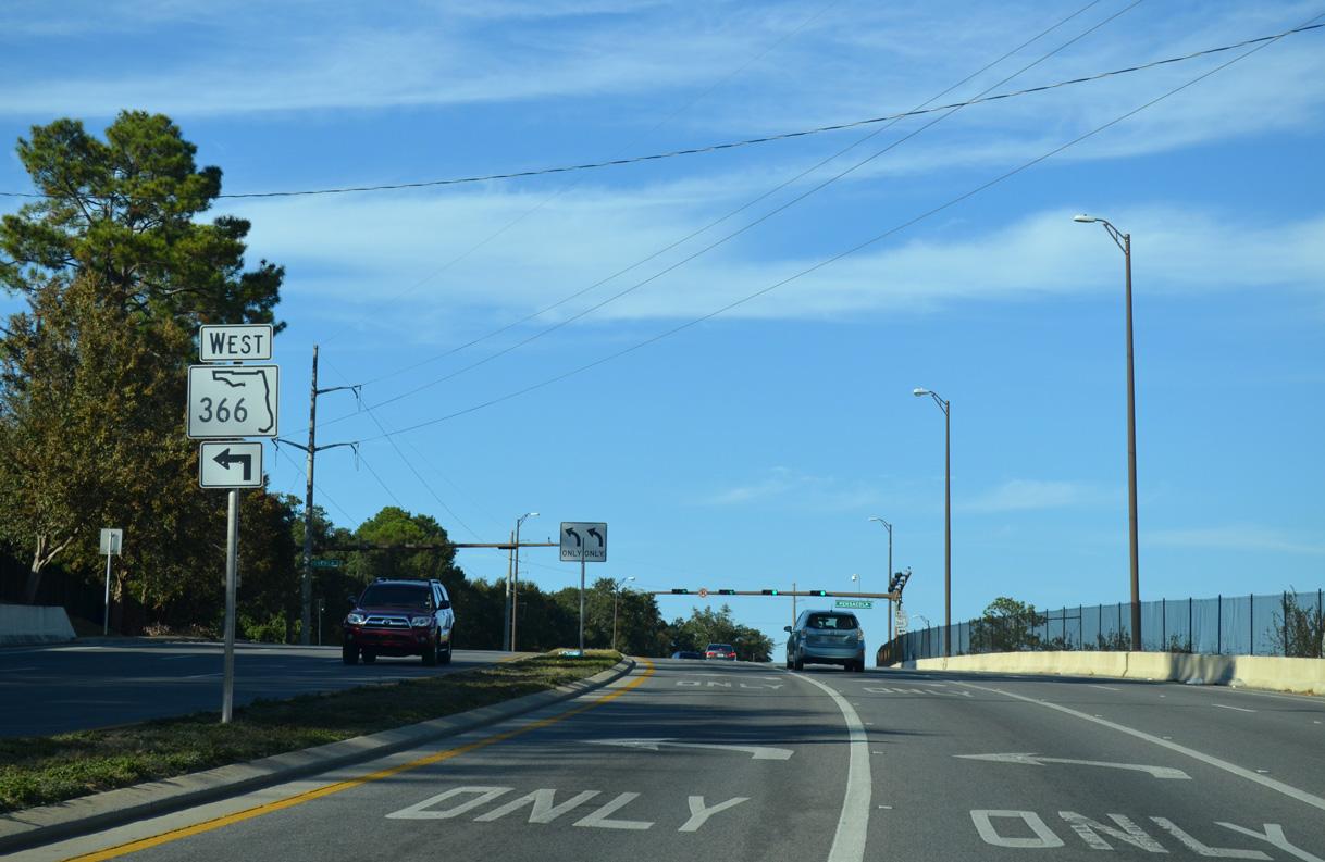
| SR 366 (W Pensacola Street) lowers 40 feet in elevation toward the Florida State University (FSU) campus between Ocala Street and Stadium Drive. Traffic signals operate along the stretch at Lipona Road and Chapel Drive. 10/20/14 |
|
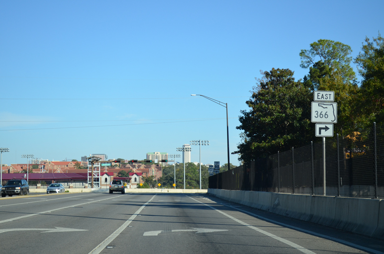
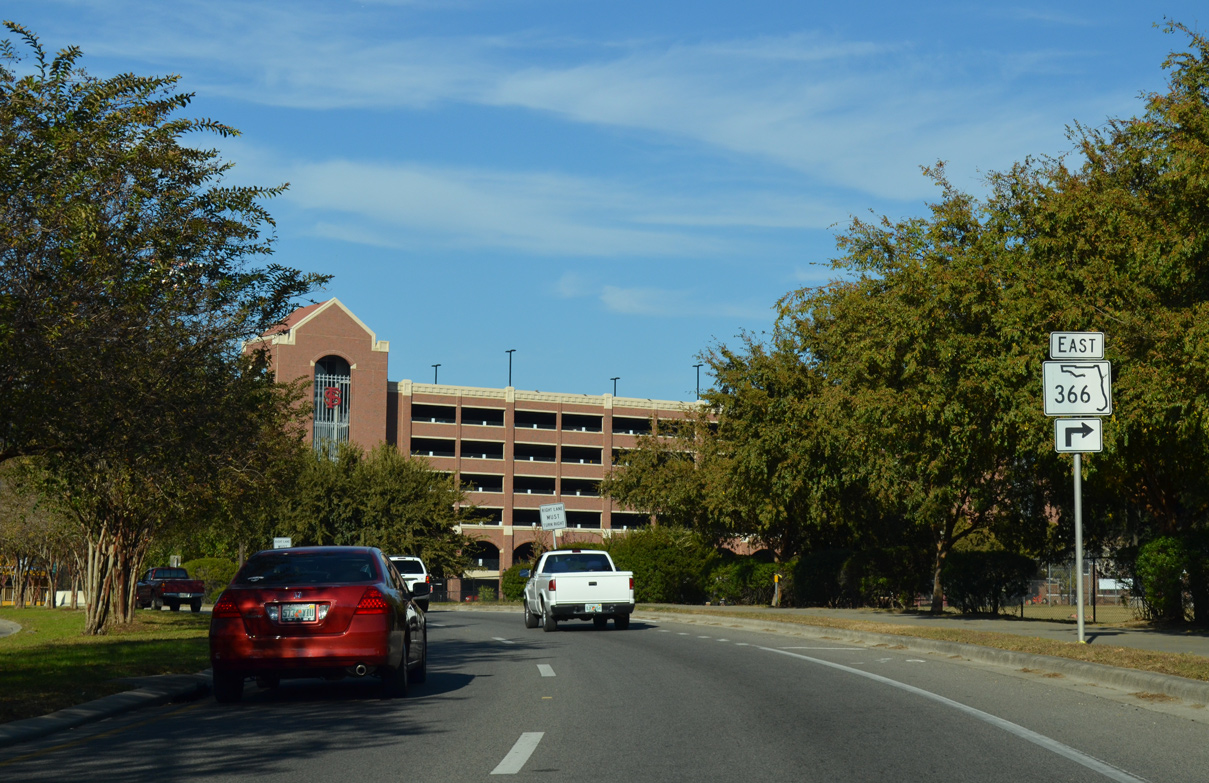
| The Florida State Capitol rises on the eastern horizon as SR 366 turns south onto Stadium Drive. Pensacola Street used to continue through the FSU Campus to Chieftan Way and Dunwoody Street. Doak Campbell Stadium and Howser Baseball Stadium were constructed along the former right of way. 10/20/14 |
|
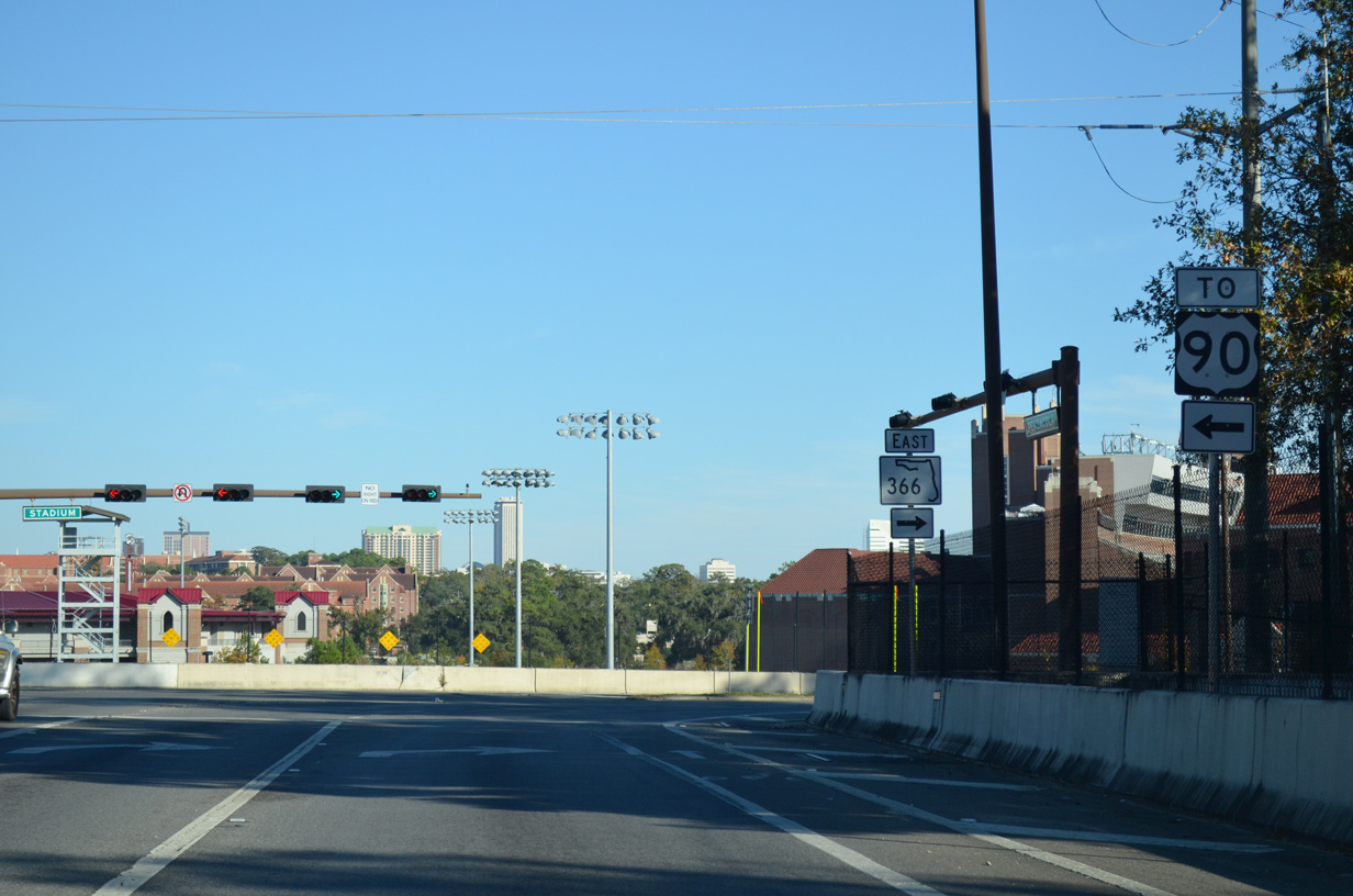
| Stadium Drive north links SR 366 (W Pensacola Street) with U.S. 90 (Tennessee Street). U.S. 90 travels across the north side of the FSU campus between Mission San Luis and Downtown. 10/20/14 |
|
| Doak Campbell Stadium is the home of the Florida State University Seminoles football team. Built in 1950, several expansions over the decades ballooned the seating capacity from 15,000 to 82,300 in 2003. A crowd of 84,336 attended the game versus the Miami Hurricanes in 2003.1 10/20/14 |
|
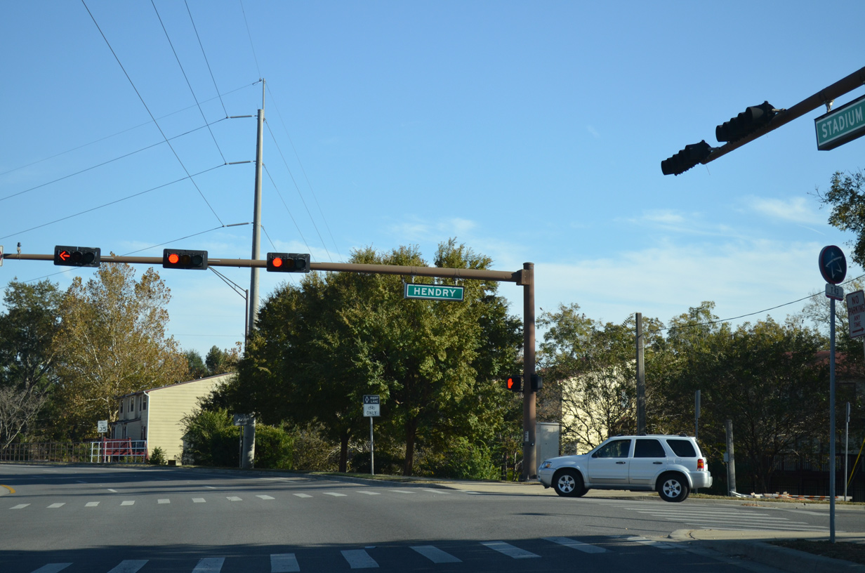
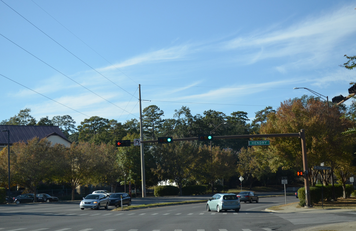
| Hendry Street links SR 366 (Stadium Drive) with Jackson Bluff Road by the Eppes Heights neighborhood to the south. Champions Way ties into the intersection with SR 366 from Doak Campbell Stadium to the north. 10/20/14 |
|
| Reassurance marker posted east of Hendry Street along Stadium Drive. The SR 366 portion of Stadium Drive is a six lane divided boulevard. 10/20/14 |
|
| Preceding SR 371 (Lake Brardford Road), two sets of SR 366 trailblazers previously directed the state road northward onto Varsity Drive. 10/20/14 |
|
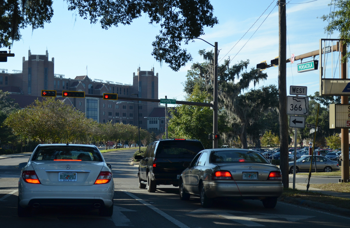
| Varsity Drive (formerly E Stadium Drive) extended SR 366 north from SR 371 and Gaines Street to St. Augustine Street. SR 371 used to continue east from Lake Bradford Road along Gaines Street to SR 61 (Monroe Street) south of Downtown Tallahassee. 10/20/14 |
|
| The north end of SR 371 is unmarked along Stadium Drive (SR 366). State Road 371 comprises a 4.42 mile loop south along Lake Bradford Road and west along Orange Avenue to SR 263 (Capital Circle SW) at Cascade Lake. 10/20/14 |
|
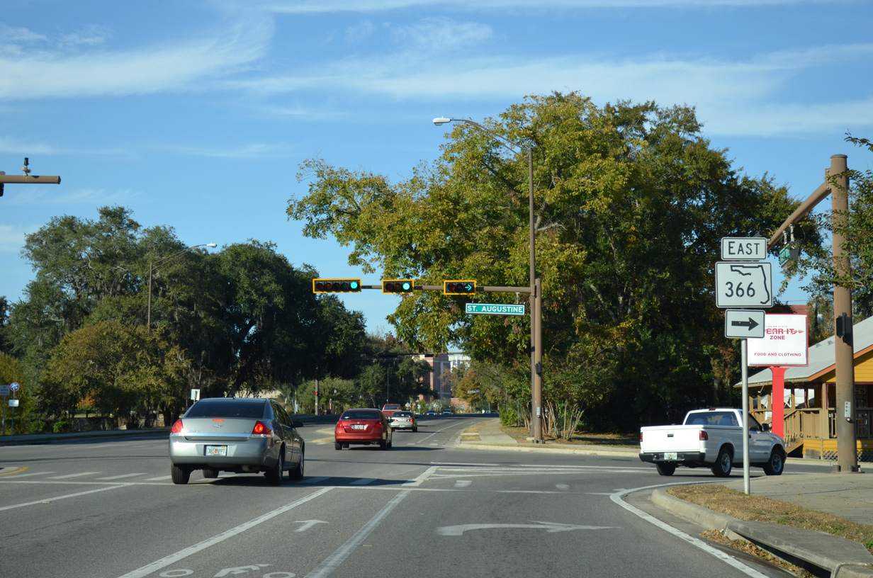
| SR 366 partitioned into the one way couplet of St. Augustine Street east and Pensacola Street west from Varsity Drive between FSU and Donald L. Tucker Civic Center. 10/20/14 |
|
| Varsity Drive continues north one block to W Pensacola Street (old SR 366 west) and an adjacent roundabout with Jefferson Street. Shields for SR 366 along Varsity Drive were removed in 2016. 10/20/14 |
|
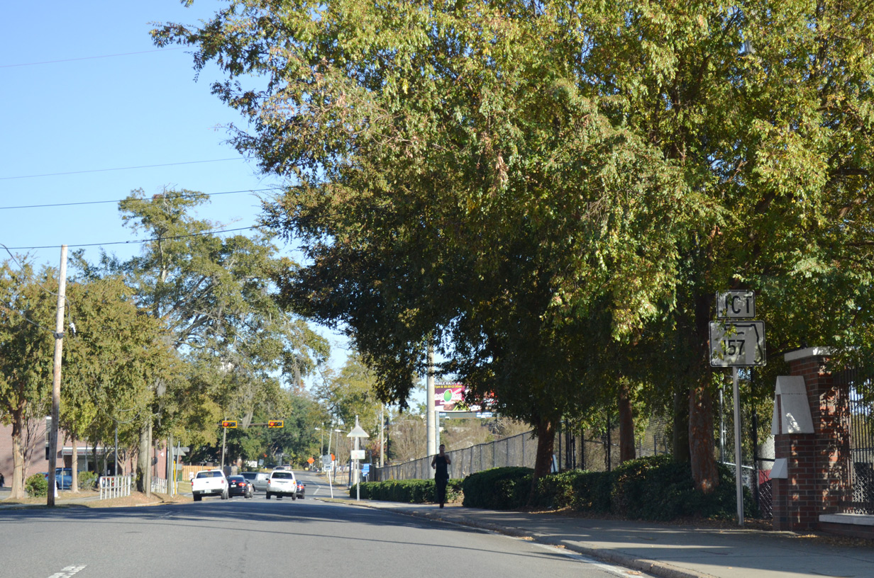
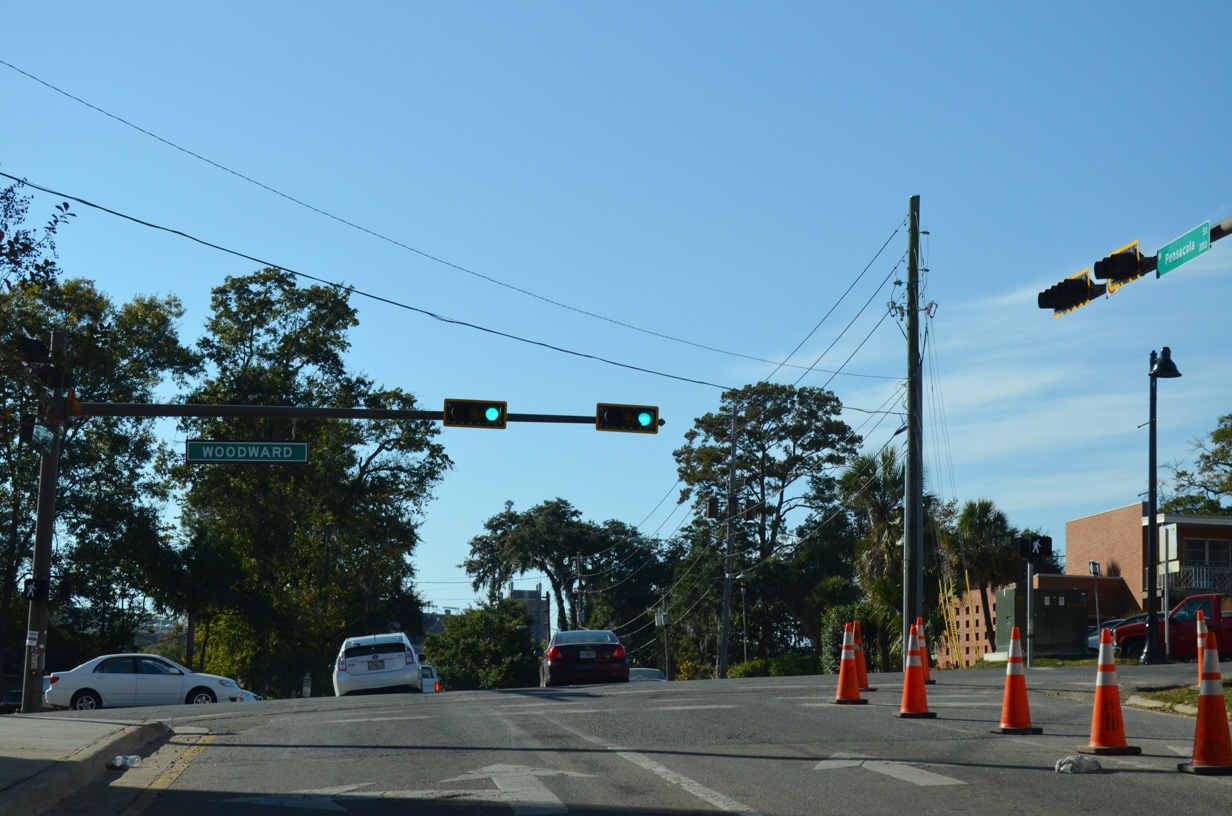
| St. Augustine Street heads two blocks east from Varsity Drive to Woodward Avenue. Woodward Avenue was formerly designated SR 157, a 0.41 mile route south to Gaines Street (old SR 371) and north to Tradition Way on the FSU Campus. 10/20/14 |
|
| Signs for SR 157 along St. Augustine Street east at Woodward Avenue were removed by 2016. SR 157 previously extended north across FSU to U.S. 90 (Tennessee Street). 2006-07 revamping of the campus road network severed Woodward Avenue between the newly built Traditions Way (former Park Avenue) and Varsity Drive. 10/20/14 |
|
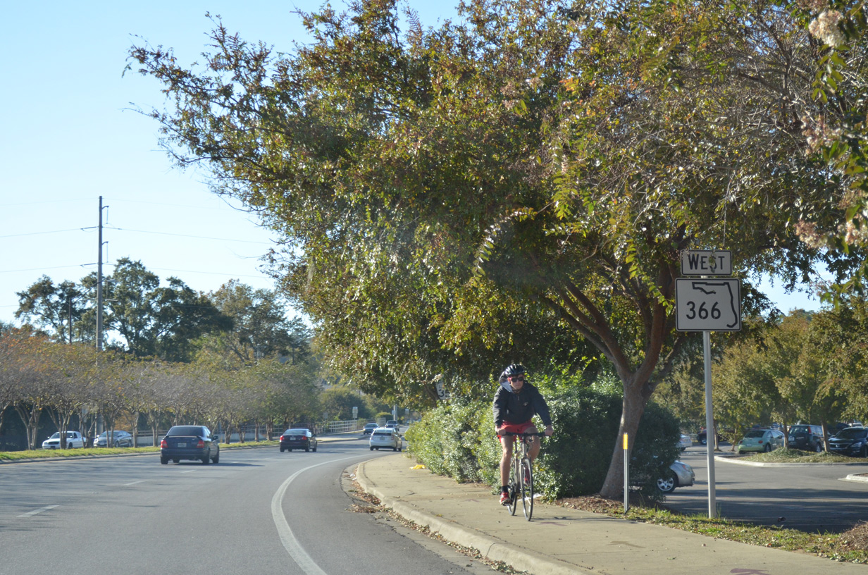
| A pair of reassurance shields for SR 366 were posted east of Woodward Avenue along St. Augustine Street. St. Augustine Street was eventually reconfigured to include a dedicated bike lane in place of on street parking through the College Park here. 12/11/07 |
|
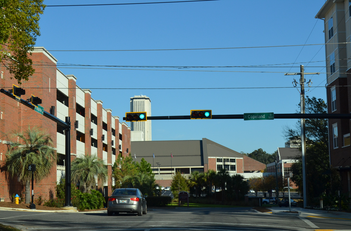
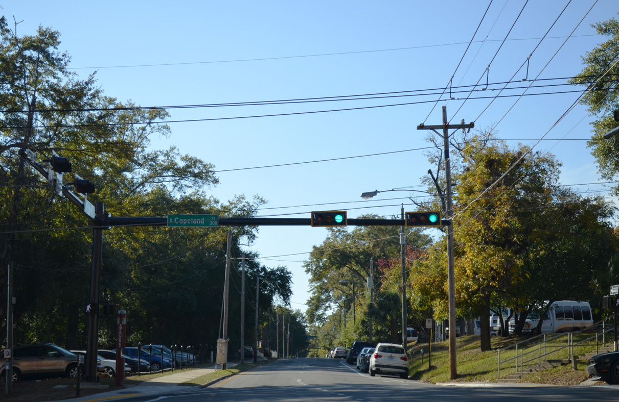
| St. Augustine Street eastbound at Copeland Street and the FSU Turnbull Conference Center. Copeland Street heads north from Madison Street through FSU Campus to U.S. 90 (Tennessee Street) 11/20/14 |
|
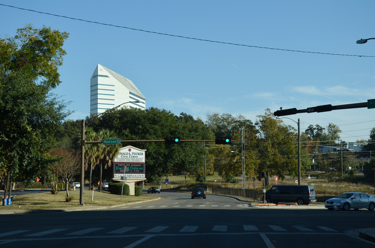
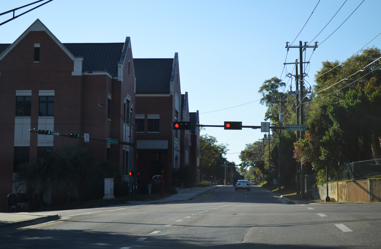
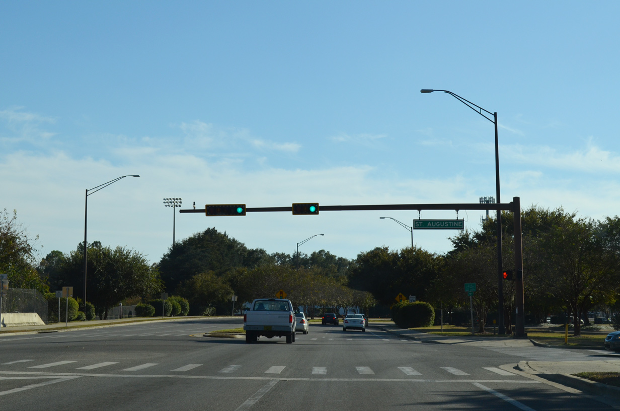
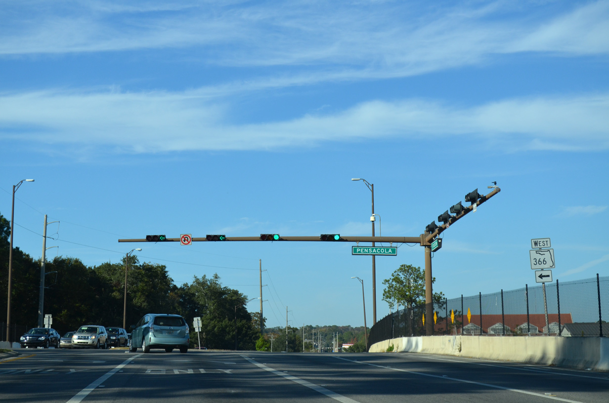
| St. Augustine Street curves southward from Copeland Street to Railroad Avenue at Donald L. Tucker Civic Center. Railroad Avenue extends Macomb Street south to Wahnish Way at Florida A&M University. 11/20/14 |
|
| St. Augustine Street shifts southward onto Madison Street at Burnett Park. A SR 366 marker was posted after the transition. Subsequent work on Madison Street restriped the roadway from three to two lanes with a dedicated bike lane. 11/20/14 |
|
| Bronough Street flows southward across Madison Street (old SR 366) from the Florida Supreme Court building to Gaines Street in one block. South of Gaines Street (old SR 371), Bronough Street is a part of SR 363 to the viaduct linking with Duval Street. 11/20/14 |
|
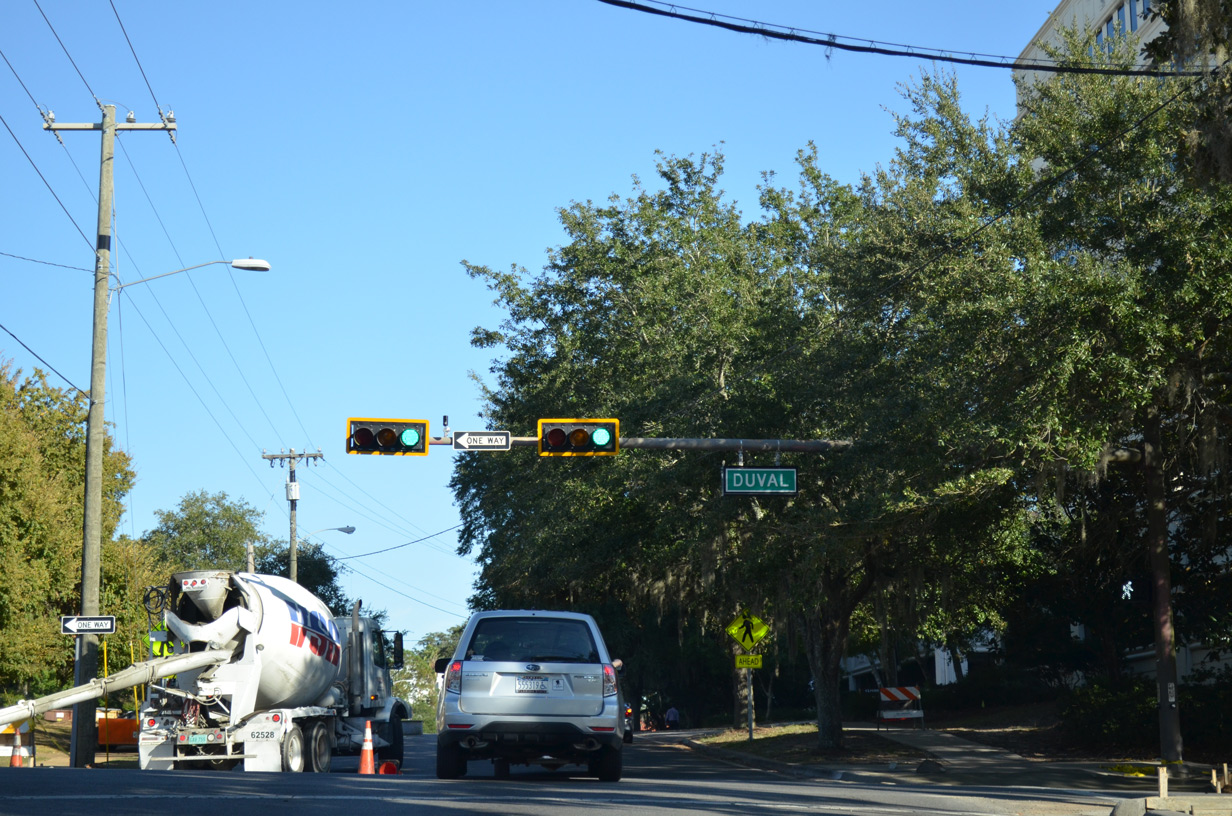
| Duval Street forms a one way couplet with Bronough Street north to the Florida State Capitol complex and Tallahassee City Hall. Duval Street is a part of SR 363 north to Gaines Street. 11/20/14 |
|
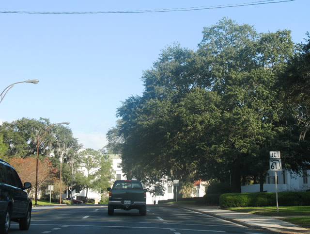
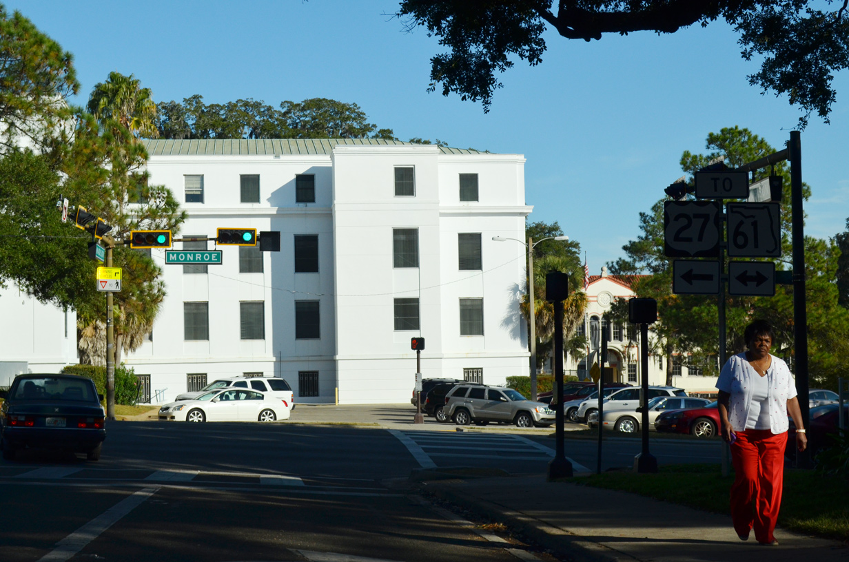
| SR 366 (Madison Street) ended two blocks east of Duval Street at SR 61 (Monroe Street). The junction shield for SR 61 at Adams Street was removed by 2013. 12/11/07 |
|
| SR 61 (Monroe Street) leads south from Downtown Tallahassee toward U.S. 319 and Crawfordville. Northbound SR 61 combines with U.S. 27 from adjacent Apalachee Parkway to Thomasville Road. Madison Street is discontinuous between Monroe and Calhoun Streets with the Holland State Building occupying the block in between. 11/20/14 |
|
| Railroad Avenue north navigates through an S-curve across West Pensacola Street (old SR 366) at Donald L. Tucker Civic Center to become Macomb Street. 11/20/14 |
|
| Copeland Street stems north from Madison Street to intersect Pensacola Street at the FSU Turnbull Conference Center. Copeland Street passes through the east side of the FSU campus to U.S. 90 (Tennessee Street). 11/20/14 |
|
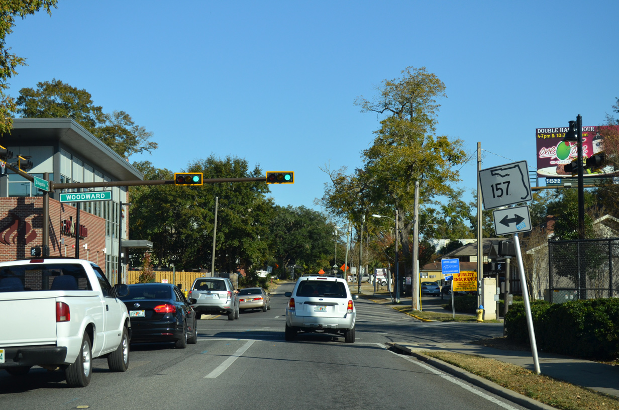
| Continuing west along Pensacola Street to Woodward Avenue in the College Park community. Woodward Avenue was formerly a part of SR 157 south to Gaines Street (old SR 371) and north to U.S. 90 (Tennessee Street). 11/20/14 |
|
| SR 366 turned south from W Pensacola Street onto Varsity (East Stadium) Drive prior to its truncation east of SR 371 (Lake Bradford Road). A trailblazer erroneously referenced the state road as leading north along Varsity Drive into FSU. 11/20/14 |
|
| Connecting the separate sections of W Pensacola Street, partially as SR 366, Varsity Drive and Stadium Drive encircle Doak Campbell Stadium to the south. 11/20/14 |
|
| Varsity Drive south intersects St. Augustine Street, the former alignment of SR 366 east toward the State Capitol. 11/20/14 |
|
| Curving southwest, Varsity Drive converges with Gaines Street (old SR 371) west at the shared end point of SR 366 (Stadium Drive) west and SR 371 (Lake Bradford Road) south. 11/20/14 |
|
| The first shield for State Road 366 west stands along Stadium Drive by SR 371 (Lake Bradford Road) south and Langford Green. 11/20/14 |
|
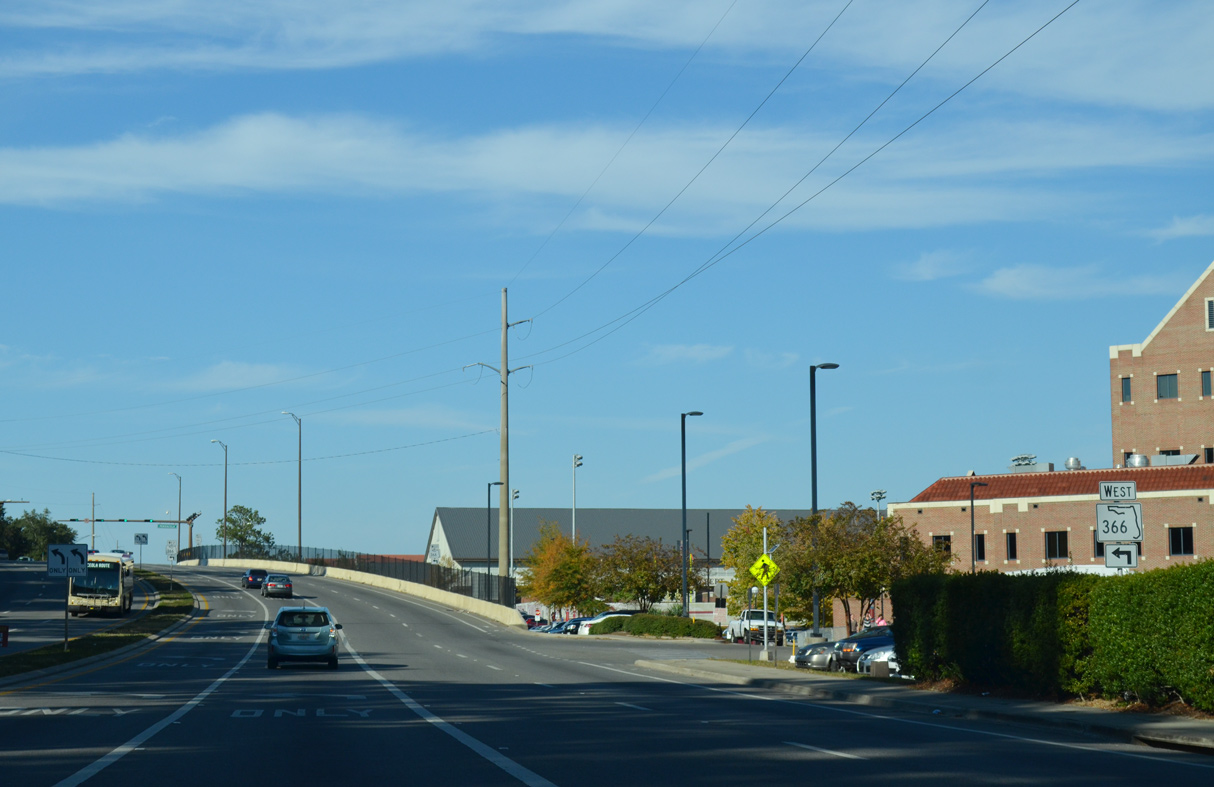
| SR 366 (Stadium Drive) proceeds west around Doak Campbell Stadium to Hendry Street. 11/20/14 |
|
| Turning north, the second reassurance marker for SR 366 stands along Stadium Drive beyond Hendry Street. 11/20/14 |
|
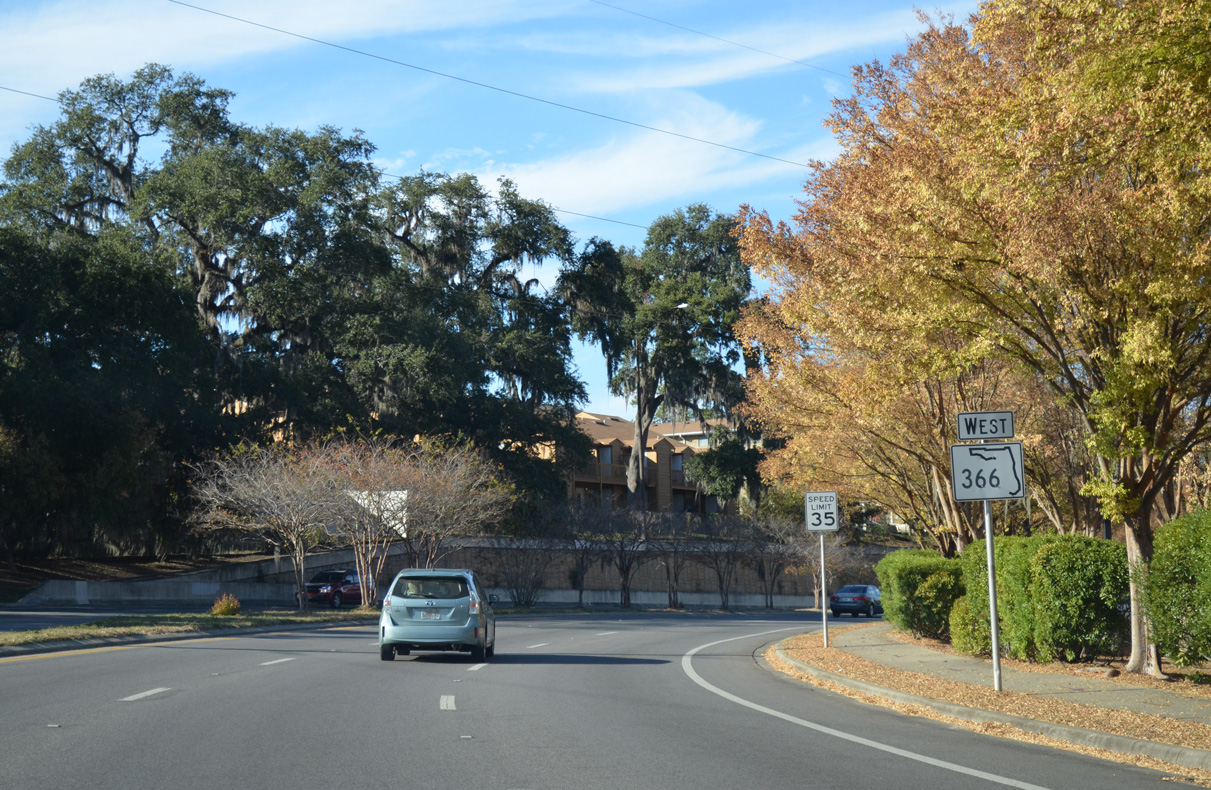
| Doak Campbell Stadium, home of FSU Seminoles football, comes into view ahead of the SR 366 turn onto W Pensacola Street. 11/20/14 |
|
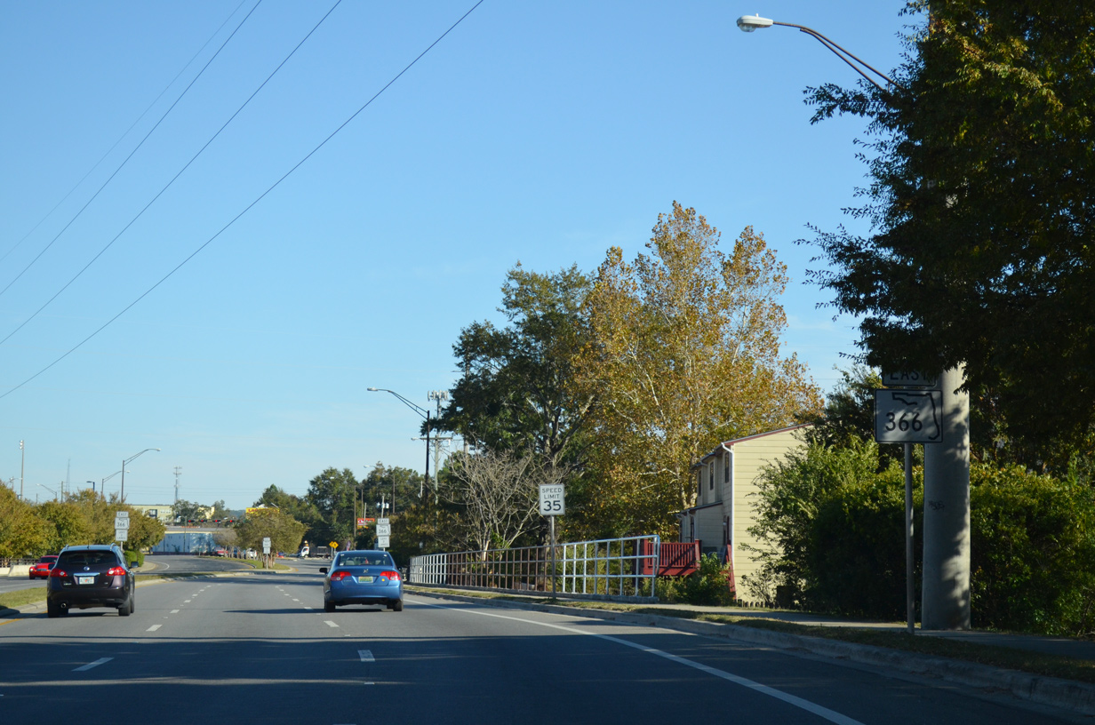
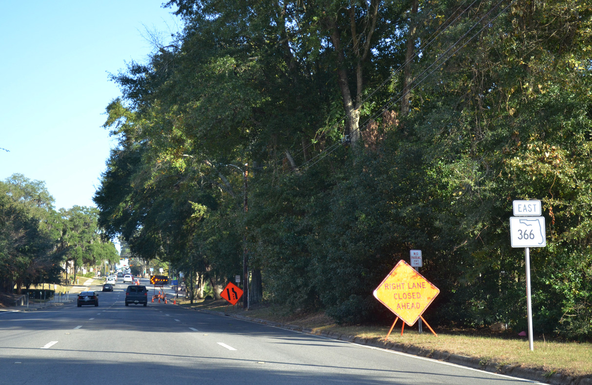
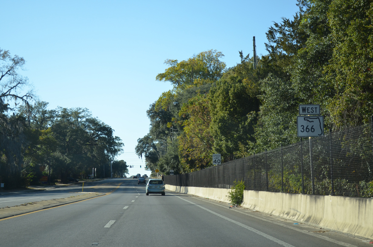
| State Road 366 lines W Pensacola Street for 2.63 miles between Stadium Drive and SR 20 (Blountstown Street). 11/20/14 |
|
| Pensacola Street leads SR 366 west by the Prince Murat Hills community. Stadium Drive continues north along FSU to Call Street and U.S. 90 (Tennessee Street). 11/20/14 |
|
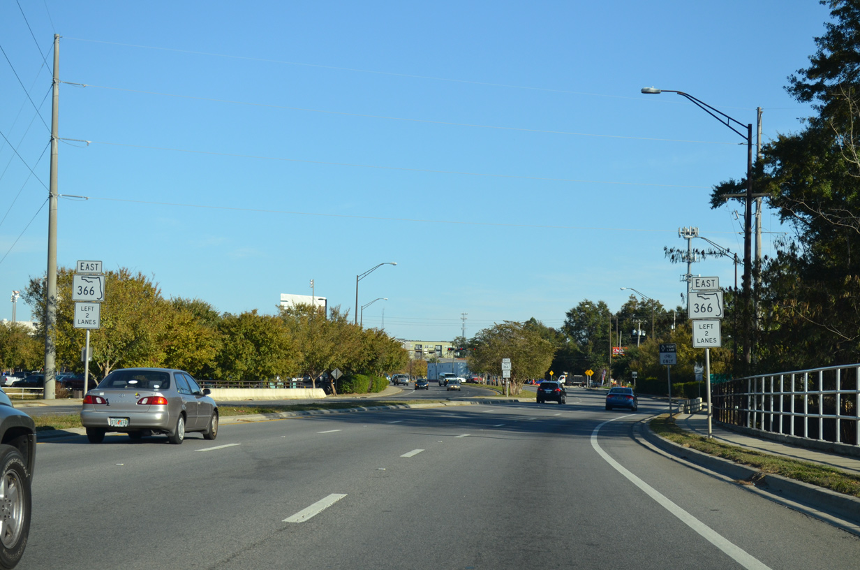
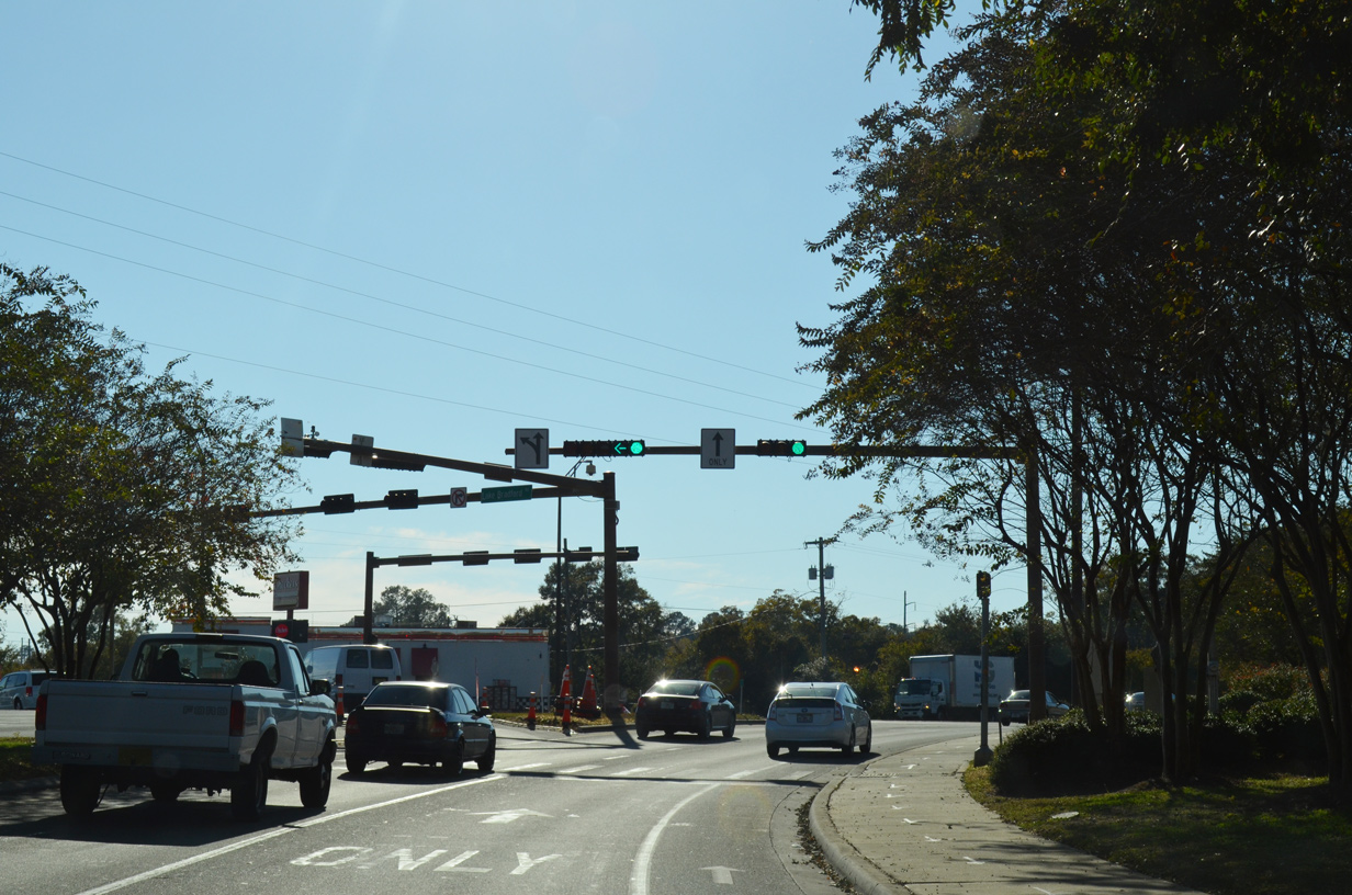
| Advancing west from Stadium Drive along Pensacola Street toward the traffic light with Chapel Drive. 11/20/14 |
Page Updated 04-27-2019.

 East
East