State Road 20 travels across the Florida Panhandle to the Big Bend area and North Florida along three stand alone sections and two hidden concurrences along US Highways. The western section measures 138.4 miles from SR 85 at Niceville in Okaloosa County to U.S. 90 in Tallahassee. The rural, two lane highway traverses wetland areas between Eglin Air Force Base and the Apalachicola River. Joining Freeport, Ebro, Blountstown and Bristol, this section of SR 20 represents the lone east-west corridor north of U.S. 98 along the Emerald Coast and south of Interstate 10.
East from Tallahassee, SR 20 is the counter part of U.S. 27 to Perry, Branford, Fort White and High Springs. A 0.58 mile section emerges from U.S. 27 along NE 1st Avenue in High Springs. This segment connects U.S. 27/41 (Main Street) with U.S. 441 along Santa Fe Boulevard. SR 20 extends southeast with U.S. 441 as an unmarked route to north Gainesville.
The eastern 48.2 miles of SR 20 initially follows a stair stepped route through Gainesville along NW 6th Street, NW 8th Avenue and alongside SR 329 on North Main Street. Combining with SR 24/26 along University Avenue through Downtown Gainesville, SR 20 branches southeast to Hawthorne and U.S. 301. Crossing into Putnam County line, SR 20 advances east to Interlachen, SR 19 and U.S. 17 in Palatka.
|
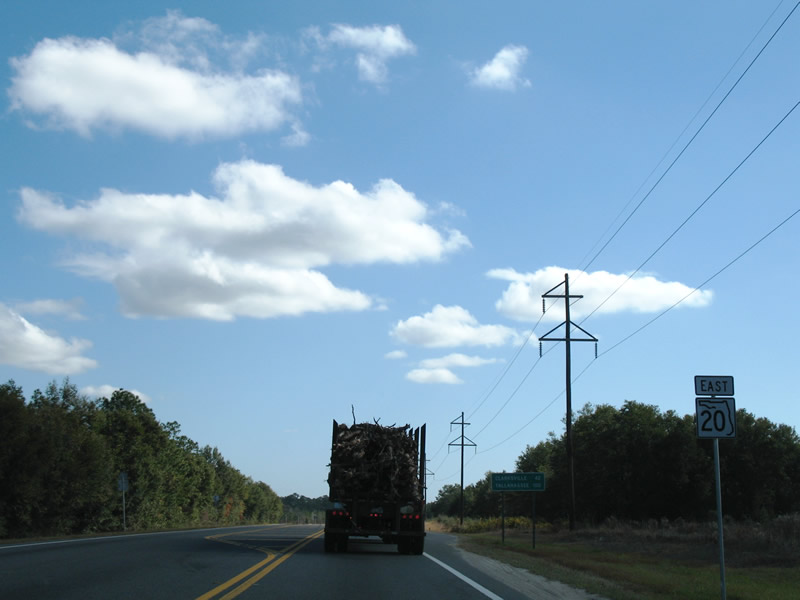
| SR 20 continues from Ebro 42 miles to Clarksville. The state road arcs northward and spans Pine Log Creek. 11/27/06 |
|
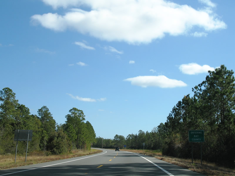
| SR 20 straddles the Bay County line east for seven miles. 11/27/06 |
|
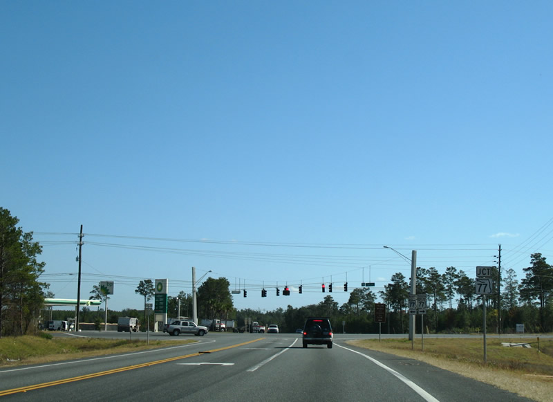
| Advancing to SR 77 in northern Bay County on SR 20 east. SR 77 joins Panama City with Interstate 10 near Chipley. 11/27/06 |
|
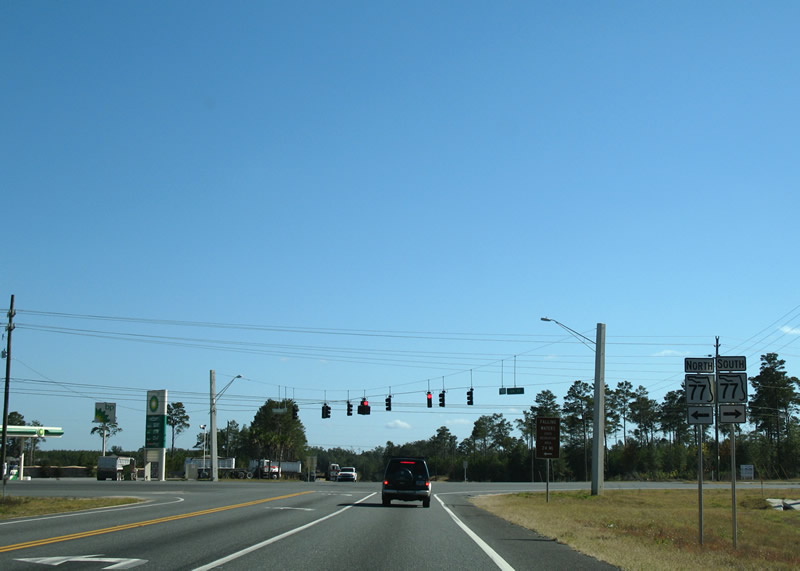
| SR 77 carries four overall lanes as an important through route to the coast. South of SR 20, the state road skims the Sand Hills area en route to Vicksburg, Southport, and Lynn Haven. 11/27/06 |
|
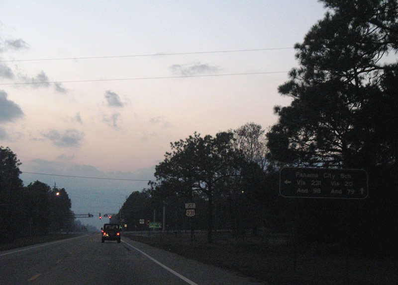
| SR 20 enters the southern reaches of Fountain and nears U.S. 231. Travelers destined for the resort areas of Panama City Beach are split between U.S. 231 south to U.S. 98 west or SR 20 west to SR 79 south from Ebro. 12/07/07 |
|
| U.S. 231 is a four lane highwat from Downtown Panama City northward to Interstate 10 at Cottondale and Dothan, Alabama. 12/07/07 |
|
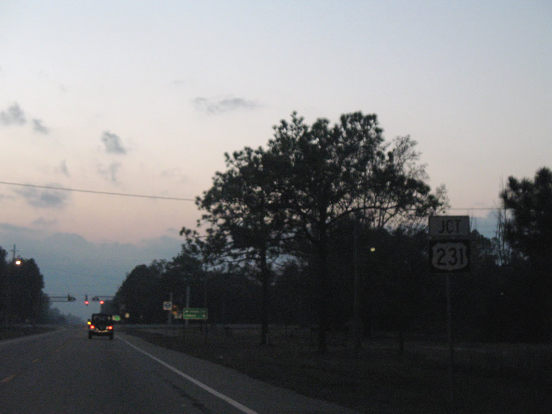
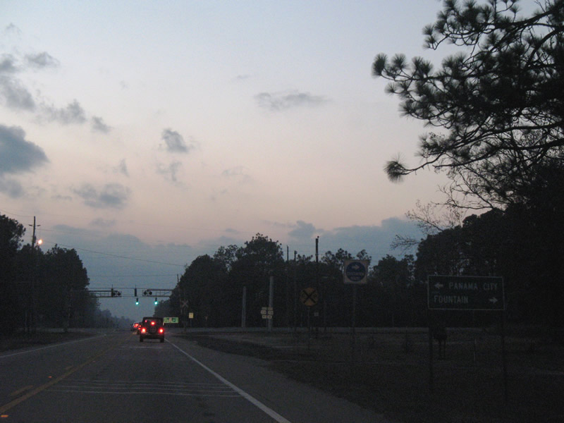
| Fountain, an unincorporated community, lies north along U.S. 231. U.S. 231 travels south to Youngstown, Cedar Grove, and Panama City. 12/07/07 |
|
| U.S. 231 parallels the Bay Line Railroad northward from U.S. 98 in Panama City to Betts in northern Bay County. SR 20 crosses both in south Fountain. 12/07/07 |
Photo Credits:11/27/06 by AARoads and Justin Cozart. 12/07/07 by AARoads.
Connect with:
U.S. 90
U.S. 231
U.S. 301
U.S. 331
U.S. 441
State Road 12
State Road 24
State Road 26
State Road 71
State Road 77
State Road 79
State Road 81
State Road 85
State Road 267
Page Updated 08-13-2008.

 East
East