SR 614/CR 614 follow Indrio Road from Interstate 95 to U.S. 1 and CR 605 (Old Dixie Highway) in northern St. Lucie County. The state road portion travels 3.58 miles east from the exchange with I-95 to SR 713 (Kings Highway) at Lakewood Park. CR 614 overlays the remainder of Indrio Road east to Indrio.
Road construction started on May 2, 2016 expanded a 2.7 mile section of SR 614 (Indrio Road) from a point west of I-95 to SR 607 (Emerson Avenue) by Lakewood Park. Work widened the rural two lane highway into a four lane, divided arterial, added of a 12 foot wide multi use trail along the north side of SR 614 and reconstructed Koblegard Road north from Indrio Road to a realigned section of Spanish Lakes Boulevard. The $23.95 million project wrapped up in Spring 2019.1
|
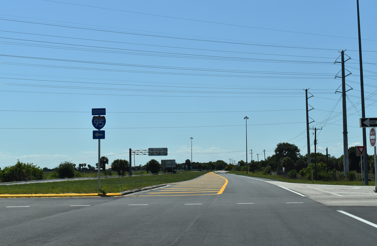
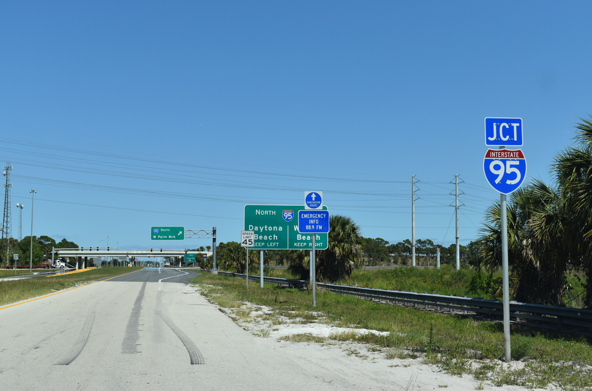
| SR 614 begins along Indrio Road east leading into the diamond interchange with Interstate 95 at Exit 138. 04/24/19 |
|
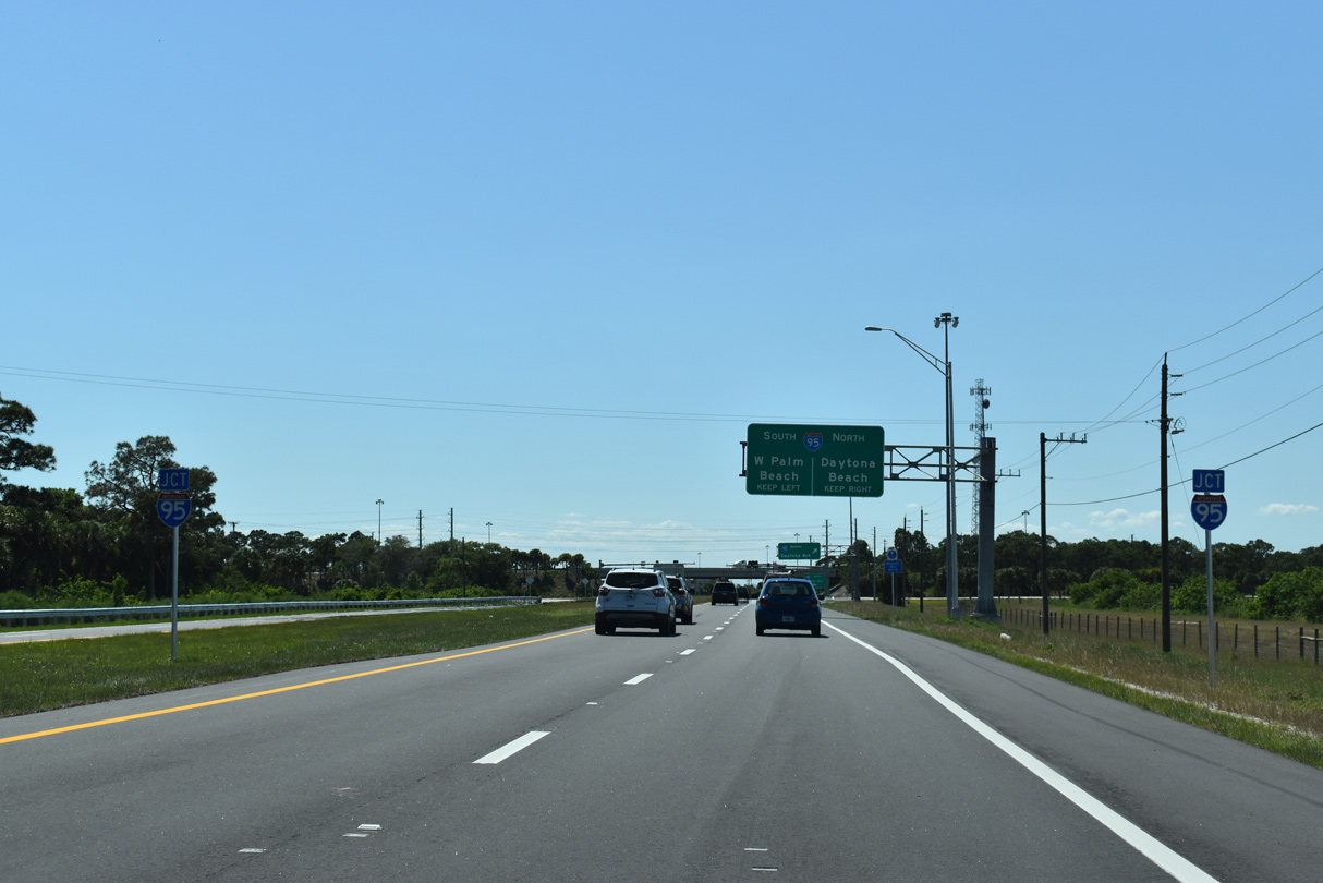
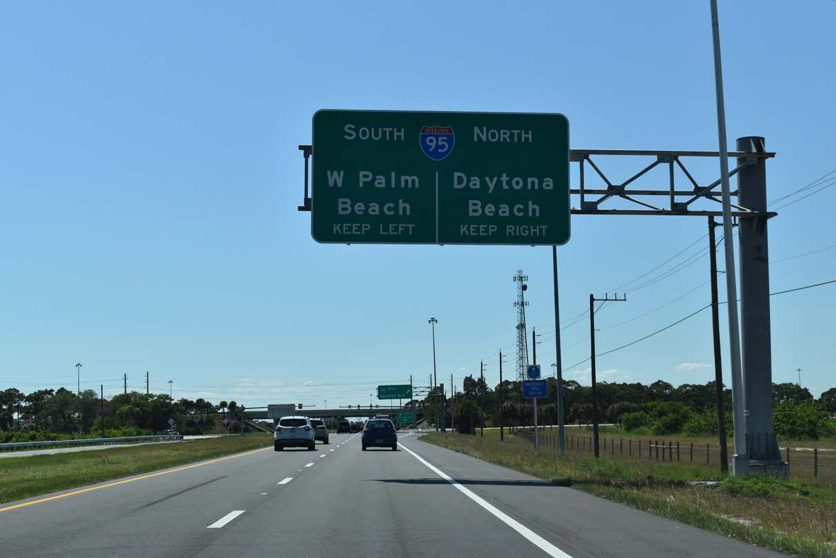
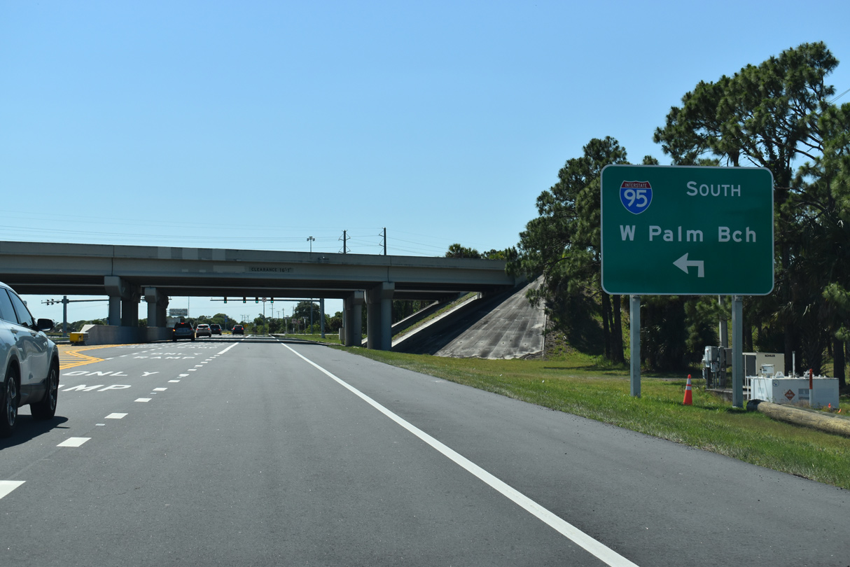
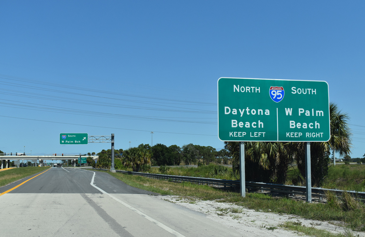
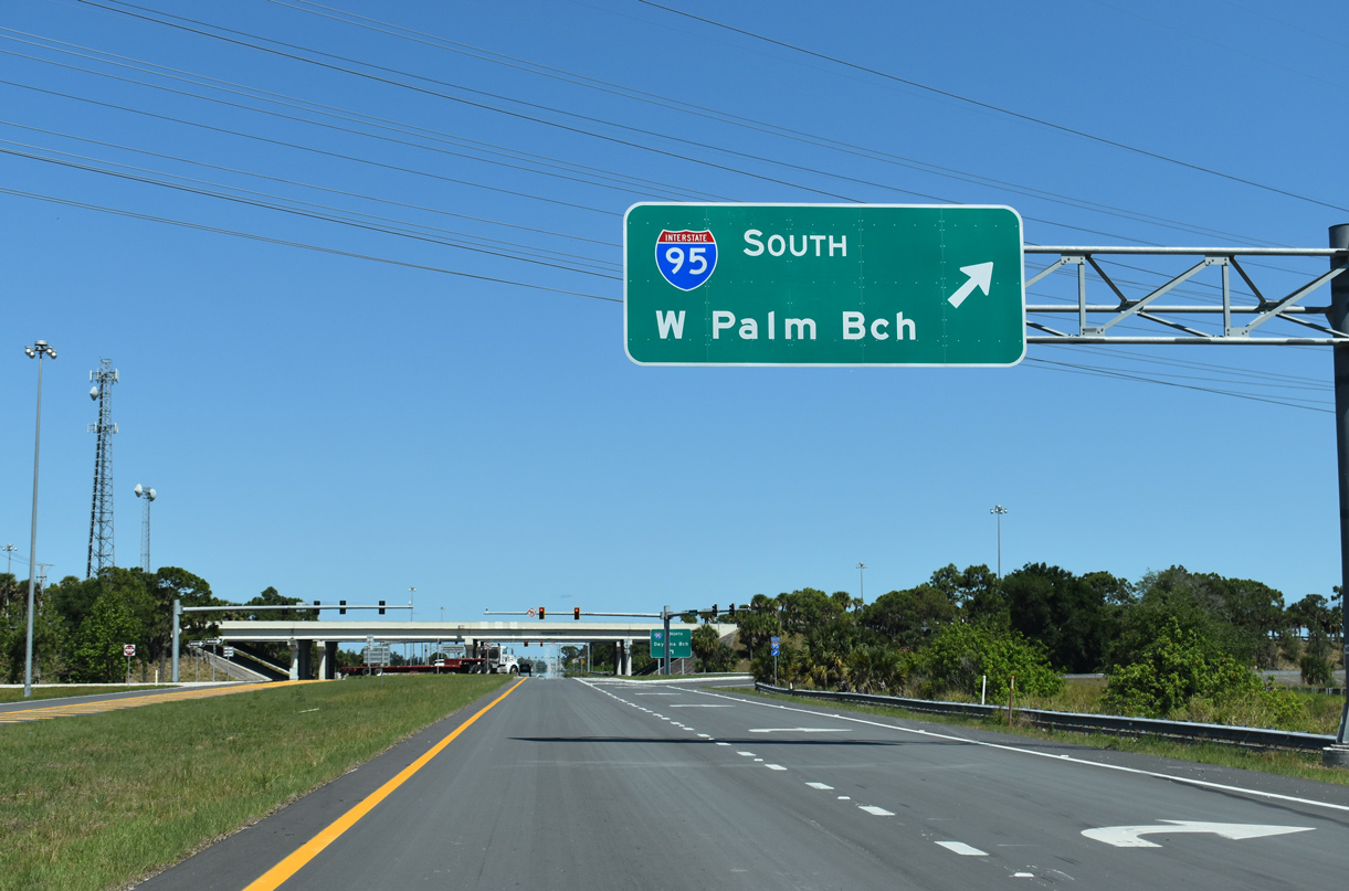
| Interstate 95 bypasses Fort Pierce to the west southward from SR 614 en route to Port St. Lucie, West Palm Beach and Fort Lauderdale. 04/24/19 |
|
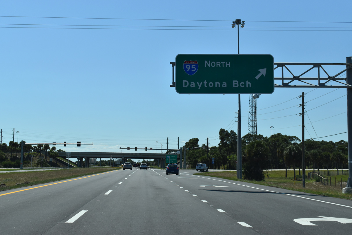
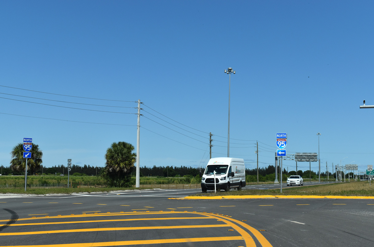
| Heading north from SR 614 (Indrio Road), Interstate 95 continues west of Vero Beach and Melbourne to Daytona Beach and Jacksonville. 04/24/19 |
|
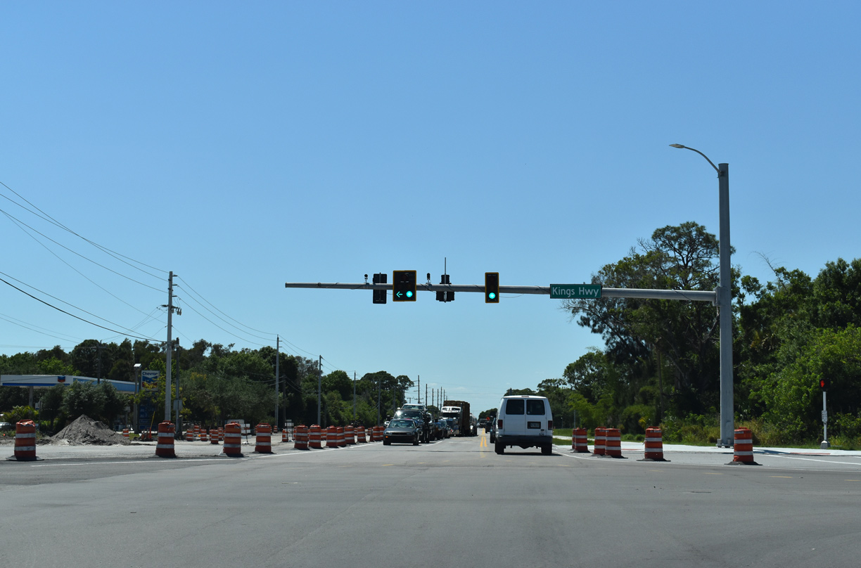
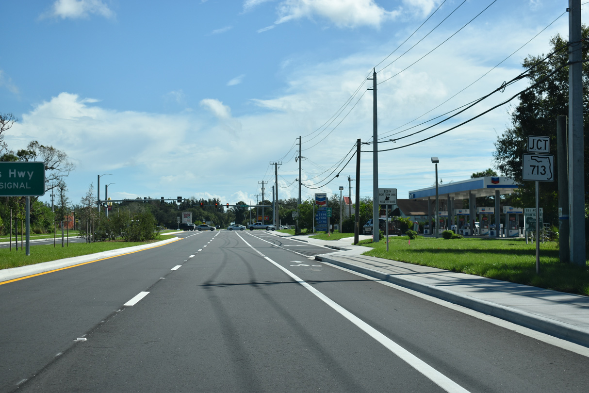
| SR 614 (Indrio Road) concludes east at SR 713 (Kings Highway) south of Lakewood Park. 10/27/19 |
|
| SR 713 angles northeast to U.S. 1 near the Indian River County line. SR 713 (Kings Highway) south leads to CR 608 for Treasure Coast International Airport (FPR) and southwestern reaches of Fort Pierce. 10/27/19 |
|
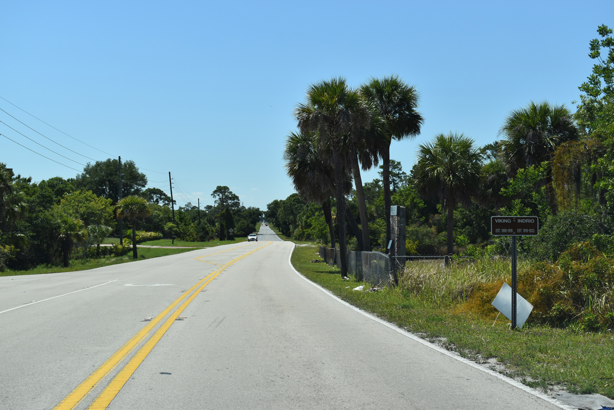
| CR 614 is unmarked westbound along Indrio Road from U.S. 1 through the historic Viking-Indrio community. 04/24/19 |
|
| Indrio Road runs along the south side of Indrio Savannahs Preserve west of U.S. 1. 04/24/19 |
|
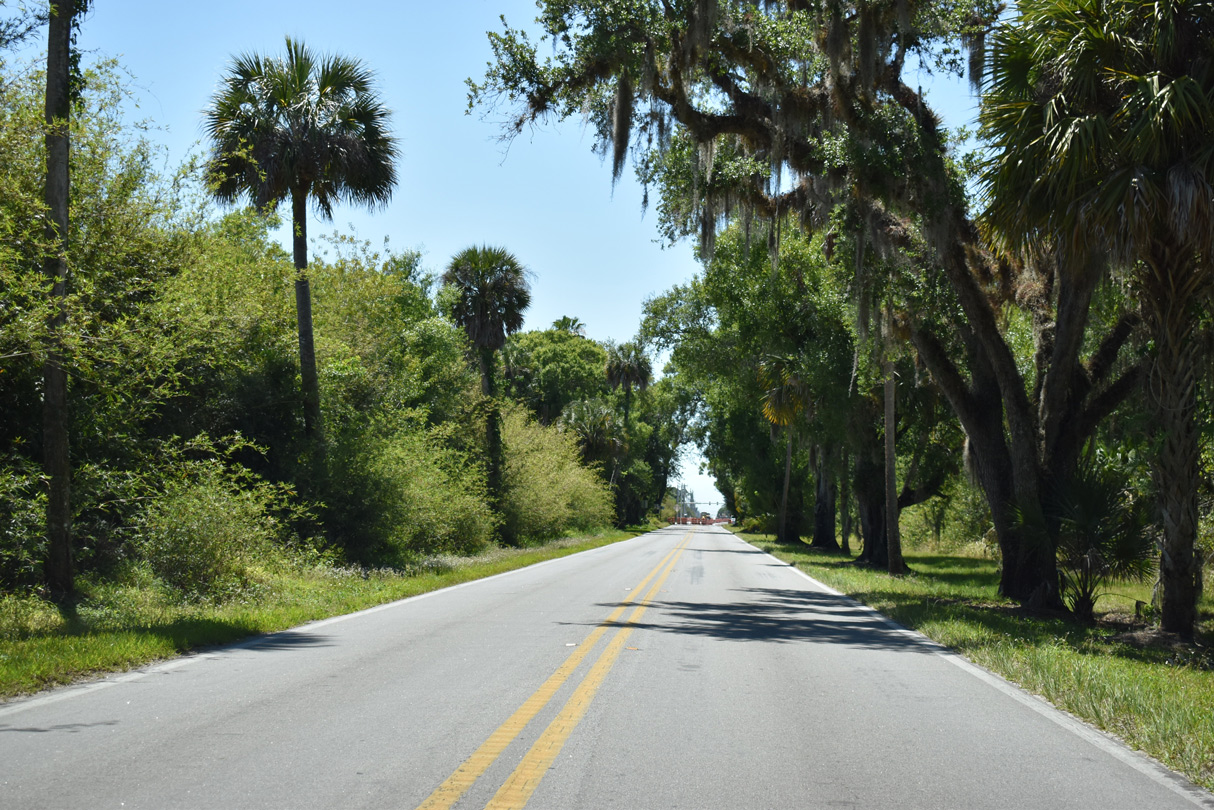
| Advancing west toward Kings Highway (SR 713) along CR 614 beyond Taylor Dairy Road. 04/24/19 |
|
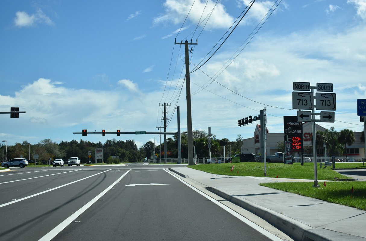
| SR 713 follows Kings Highway south from Lakewood Park and Indrio Road to SR 68, SR 70 and Florida's Turnpike in Fort Pierce. 04/24/19 |
|
| The first shield for SR 614 west stands along Indrio Road beyond Kings Highway (SR 713). 10/27/19 |
|
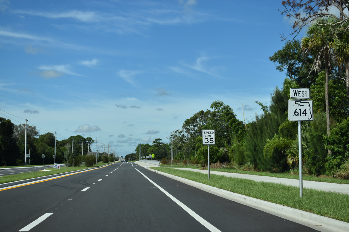
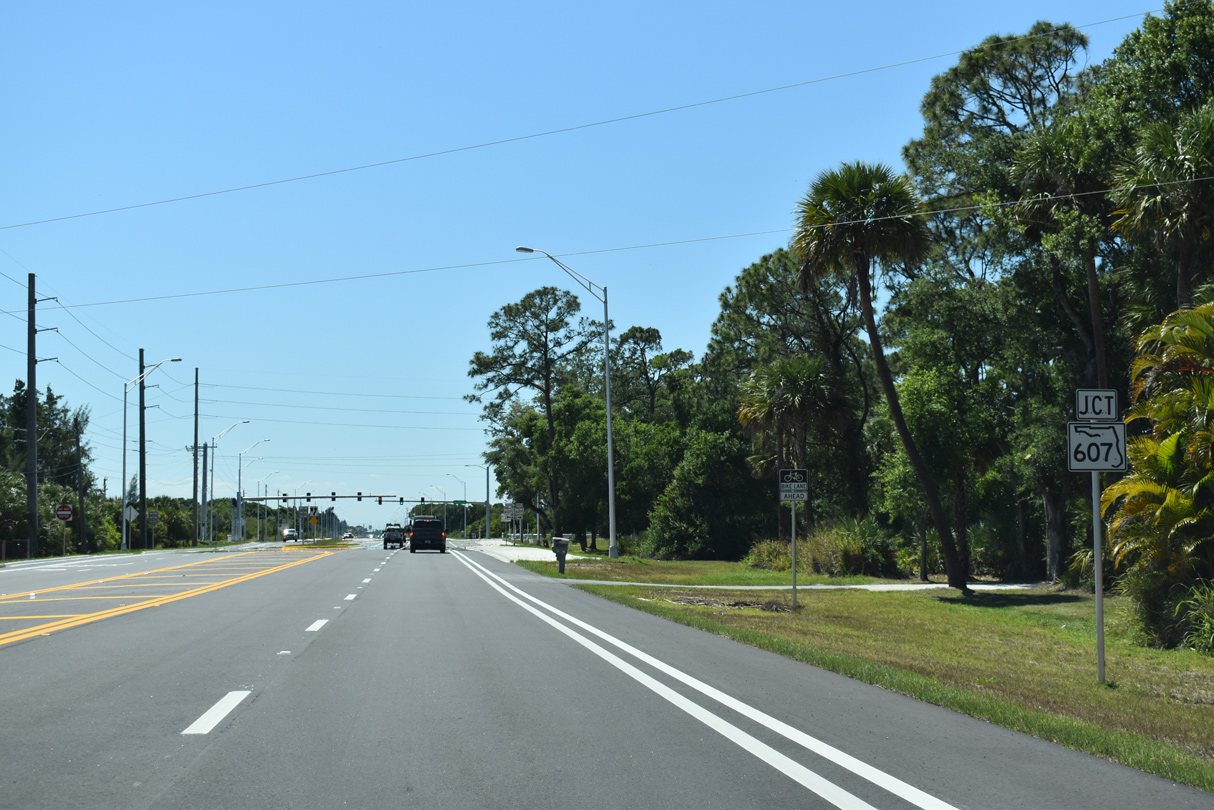
| SR 614 (Indrio Road) advances one mile west from SR 713 (Kings Highway) to the south end of SR 607 (Emerson Avenue). 04/24/19 |
|
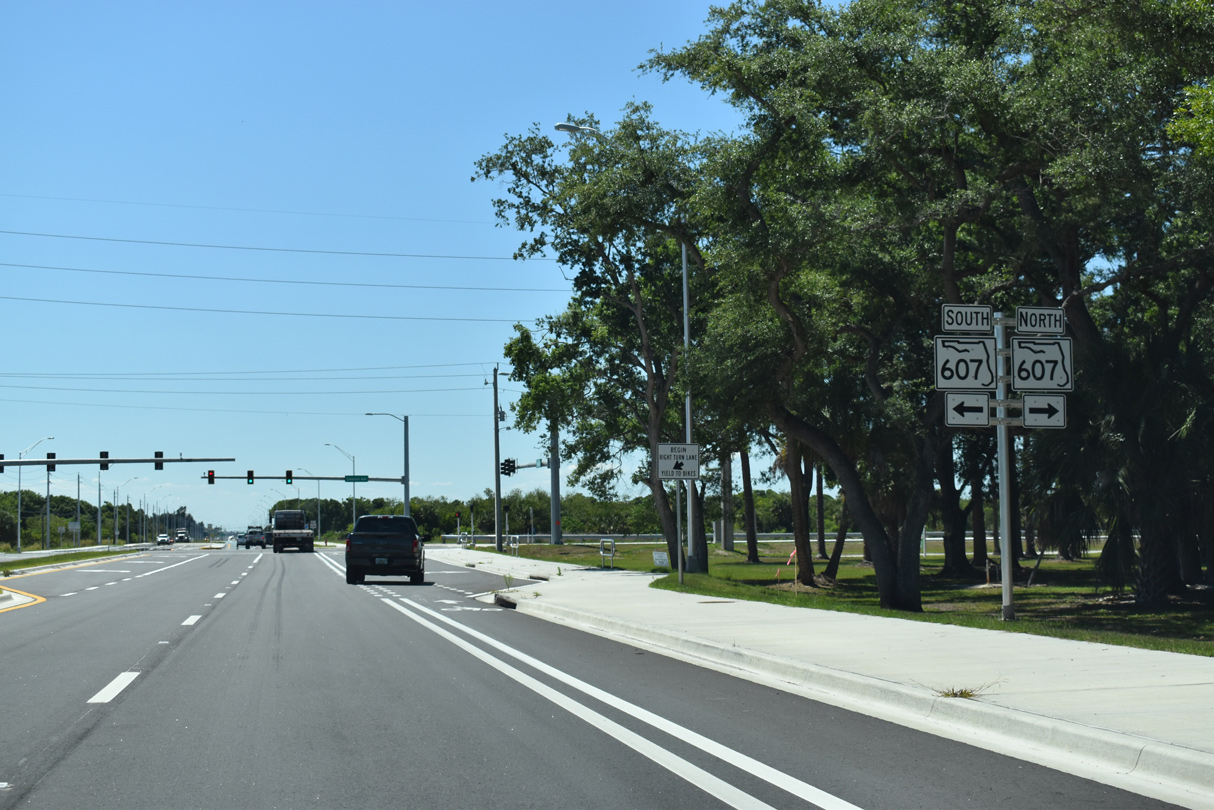
| State Road 607 (Emerson Avenue) spurs 2.53 miles north to Lakewood Park and 27th Avenue SW in southern Indian River County. 04/24/19 |
|
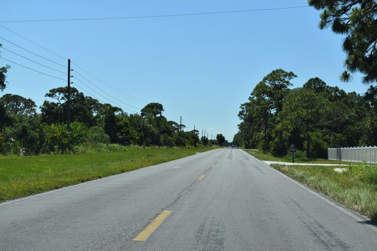
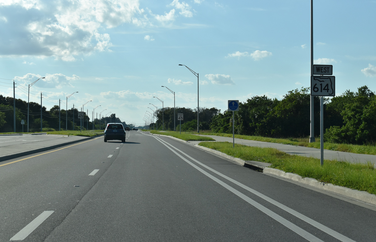
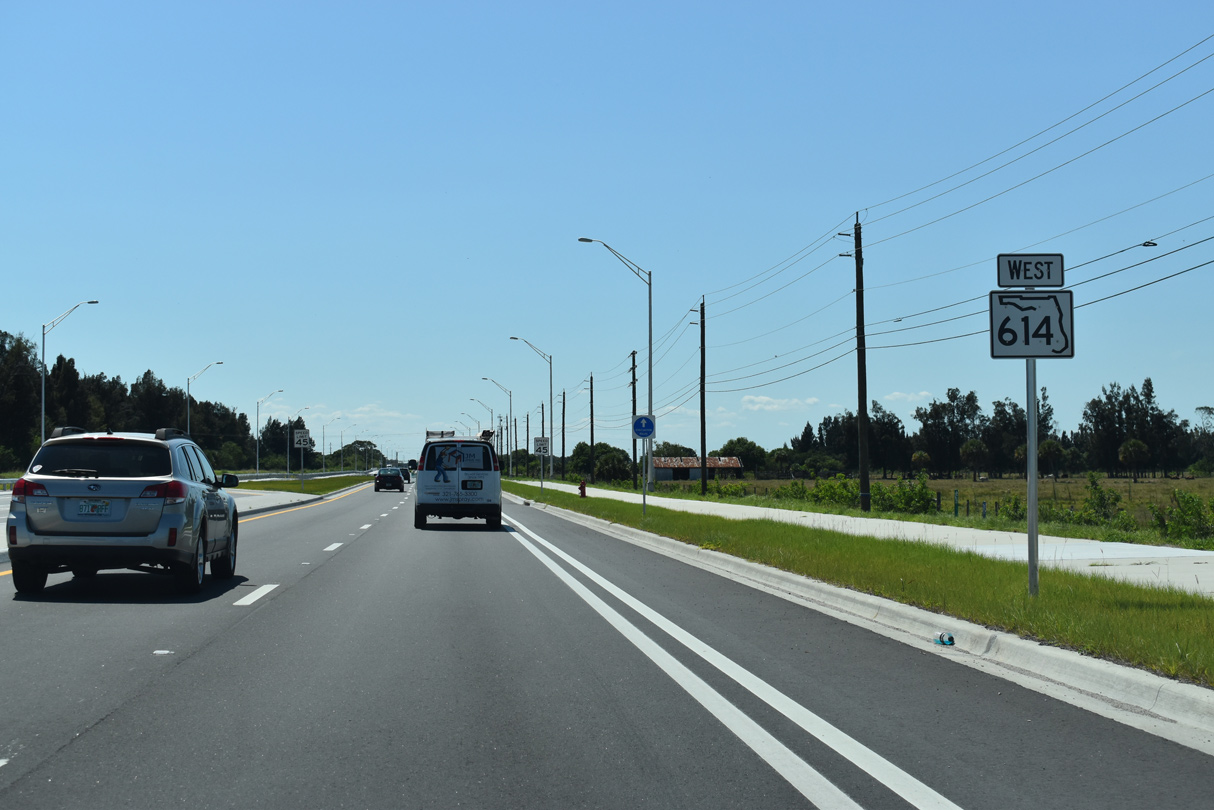
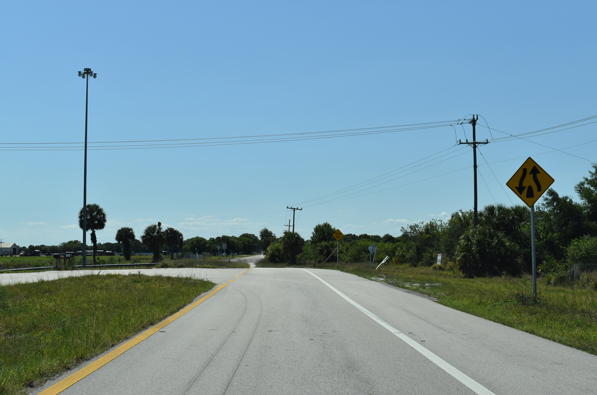
| Indrio Road continues west from SR 607 through agricultural areas. 10/16/21 |
|
| Forthcoming Johnson Road doubles as CR 603 north to 43rd Avenue SW in Indian River County. 10/16/21 |
|
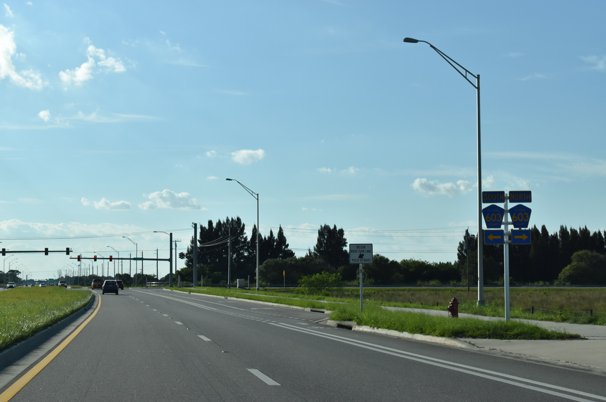
| South from SR 614 (Indrio Road), CR 603 shifts eastward along a 4.3 mile long course to the Meadowood Golf & Tennis Club community and West Angle Road across Belcher Canal. 10/16/21 |
|
| Confirming marker posted west of CR 603 (Johnson Road). 04/24/19 |
|
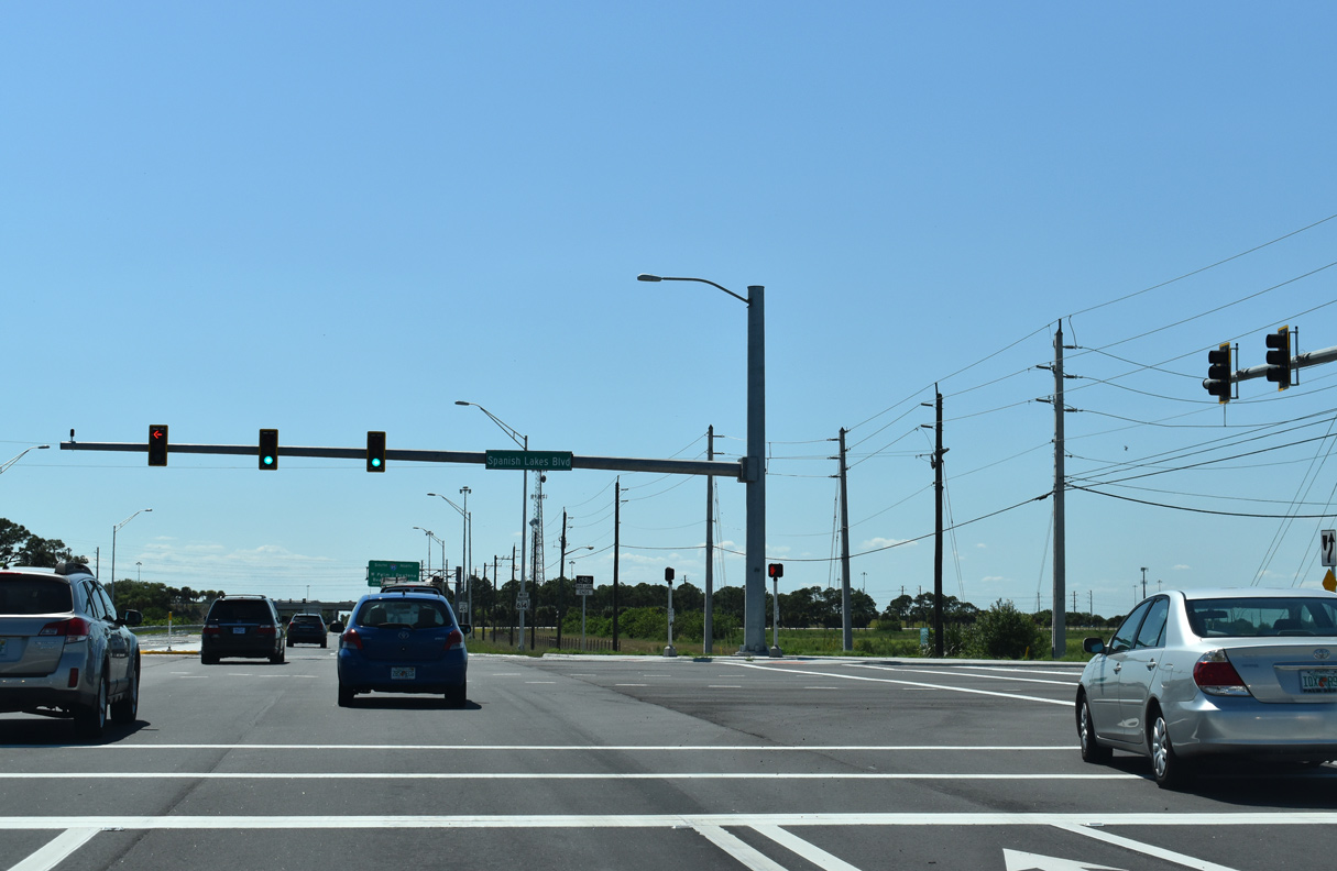
| Spanish Lakes Boulevard ties into SR 614 south of Koblegard Road. Spanish Lakes Boulevard parallels I-95 northwest to the Spanish Lakes manufactured home community. 04/24/19 |
|
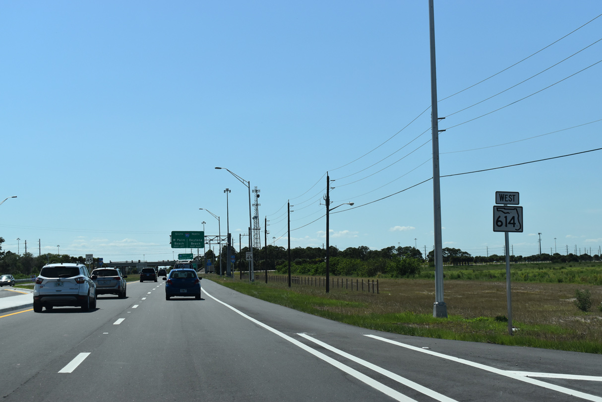
| The last reassurance marker for SR 614 precedes the diamond interchange with Interstate 95. 04/24/19 |
|
| Interstate 95 shifts westward away from Fort Pierce to cross paths with SR 614 south of the West Vero Corridor in Indian River County. 04/24/19 |
|
| Interstate 95 ventures north from the Treasure Coast to Cocoa and Titusville along the Space Coast and Daytona Beach at the east end of I-4. 04/24/19 |
|
| I-95 heads southeast from SR 614 to outer reaches of Fort Pierce and then Port St. Lucie. 04/24/19 |
|
| Indrio Road transitions into a rural farm road beyond the exchange with Interstate 95. 04/24/19 |
Page Updated 10-10-2022.


 West
West