
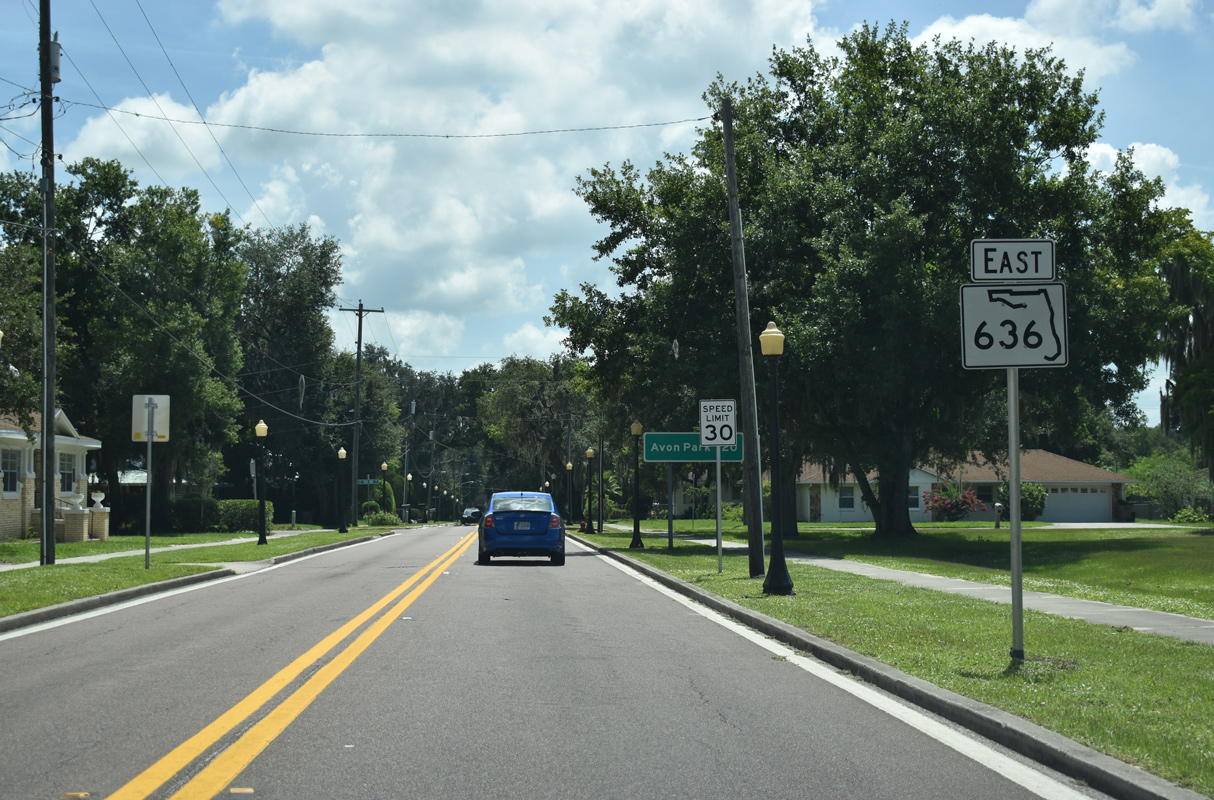
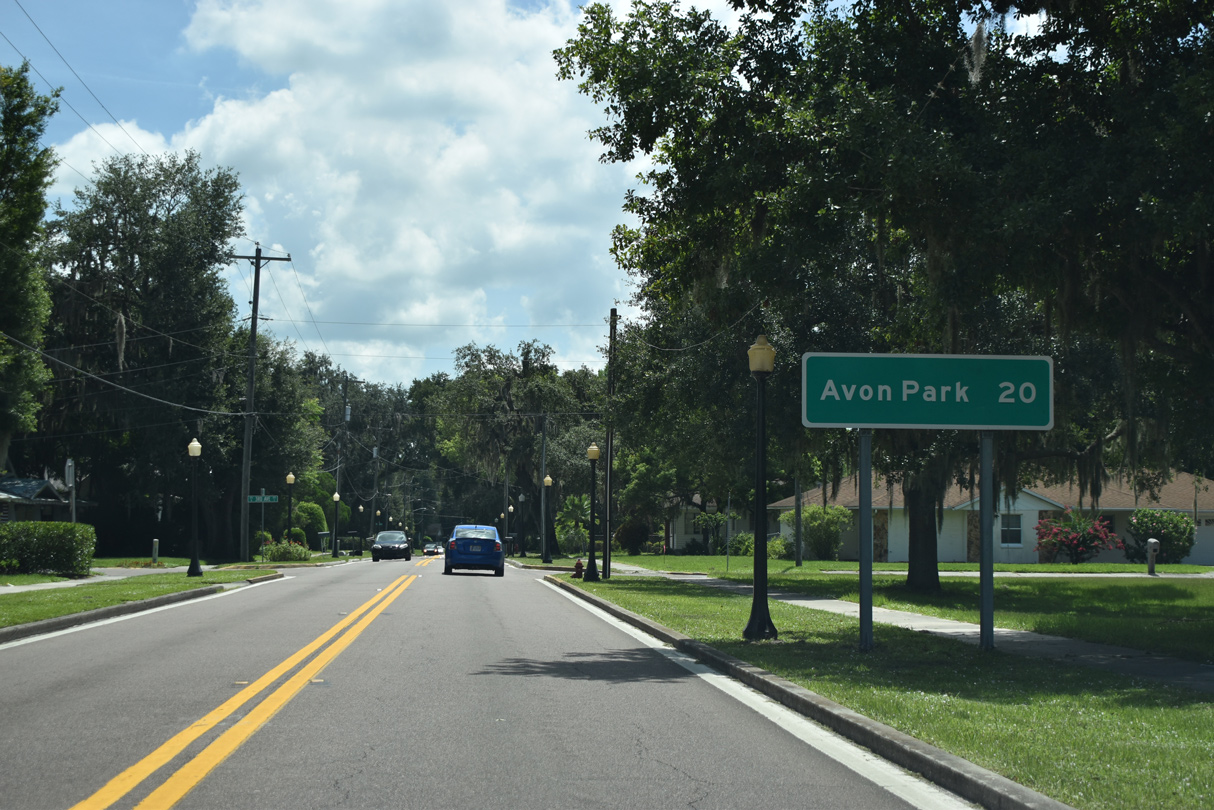
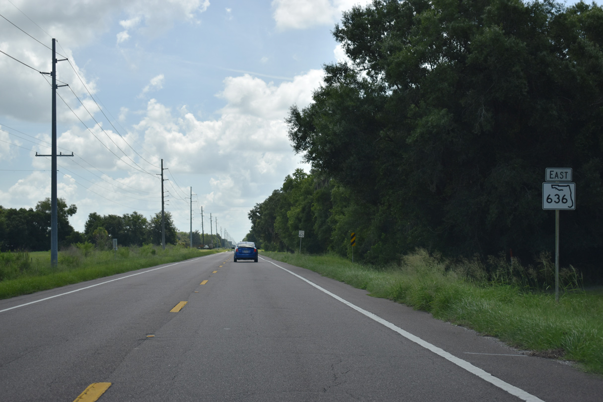
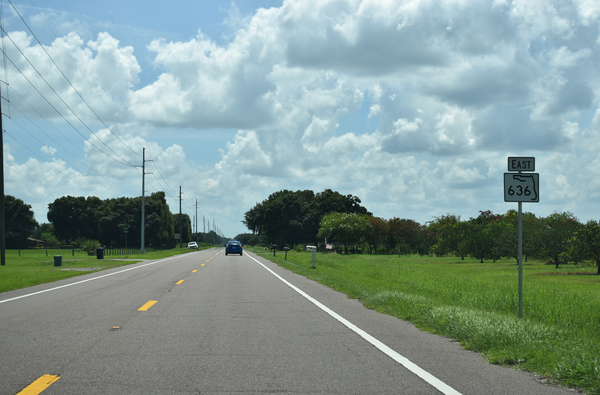
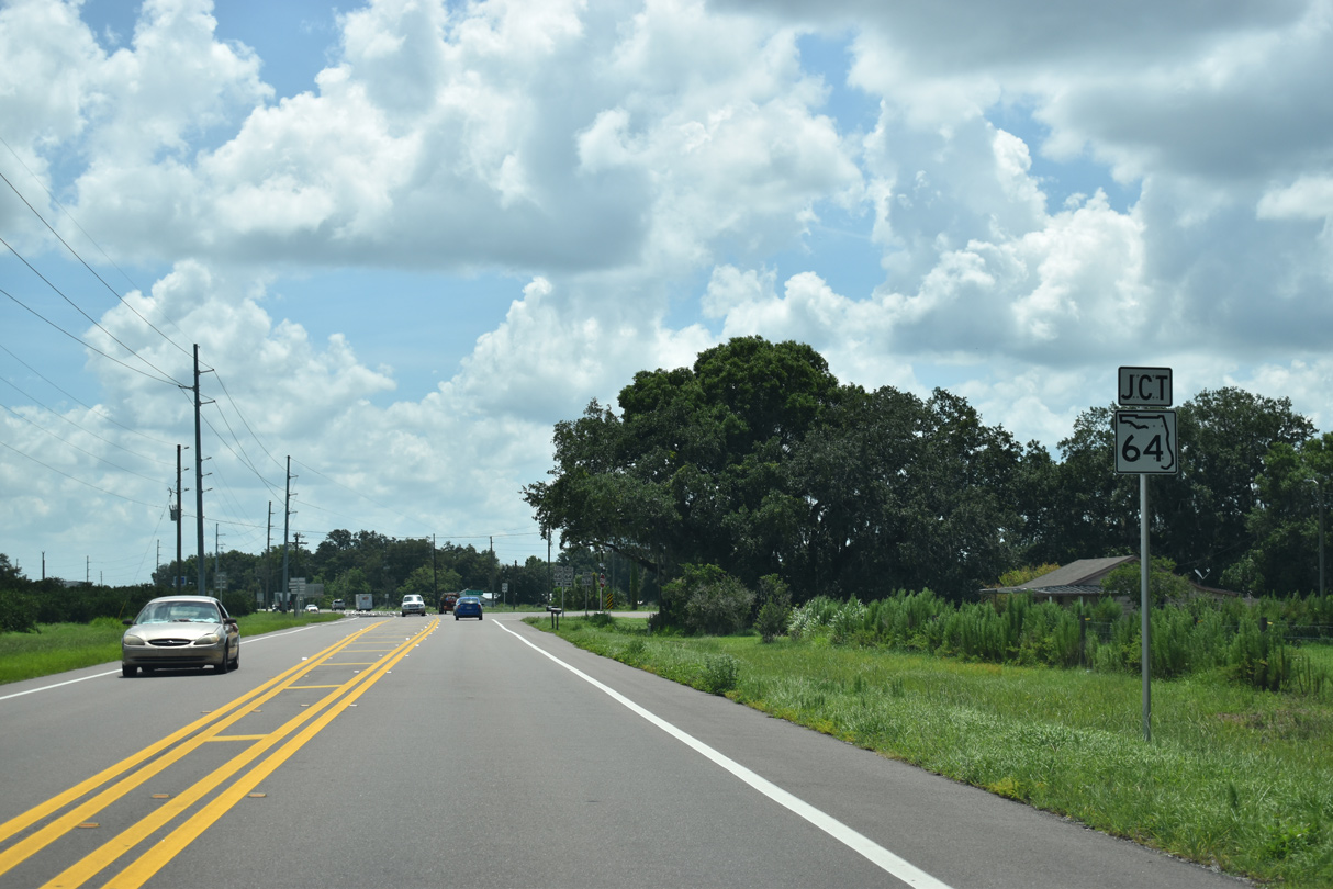
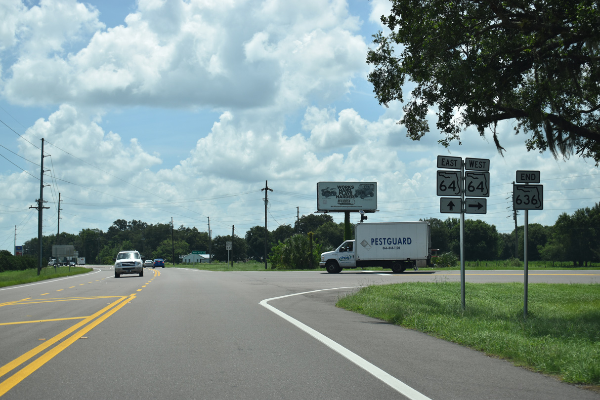
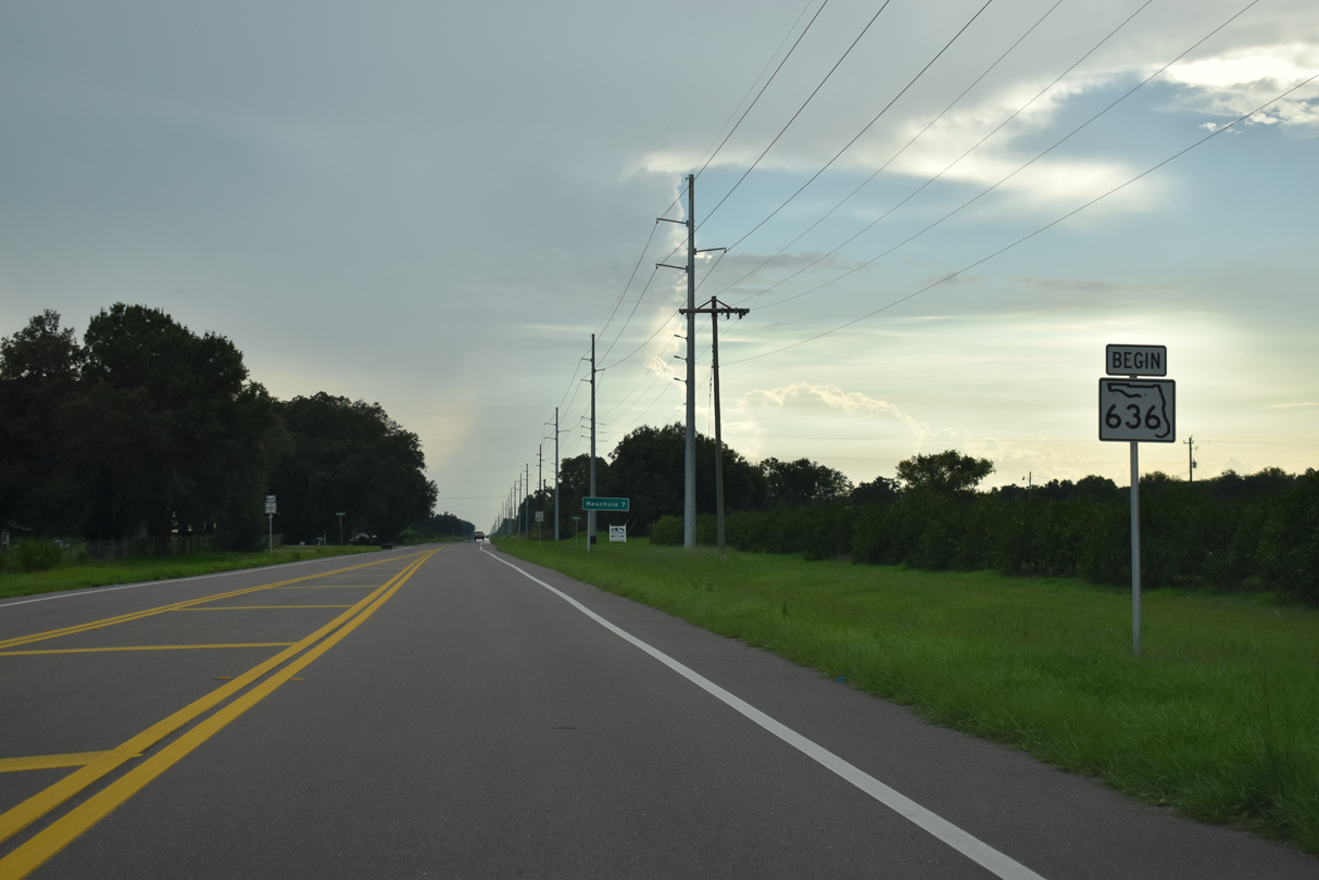
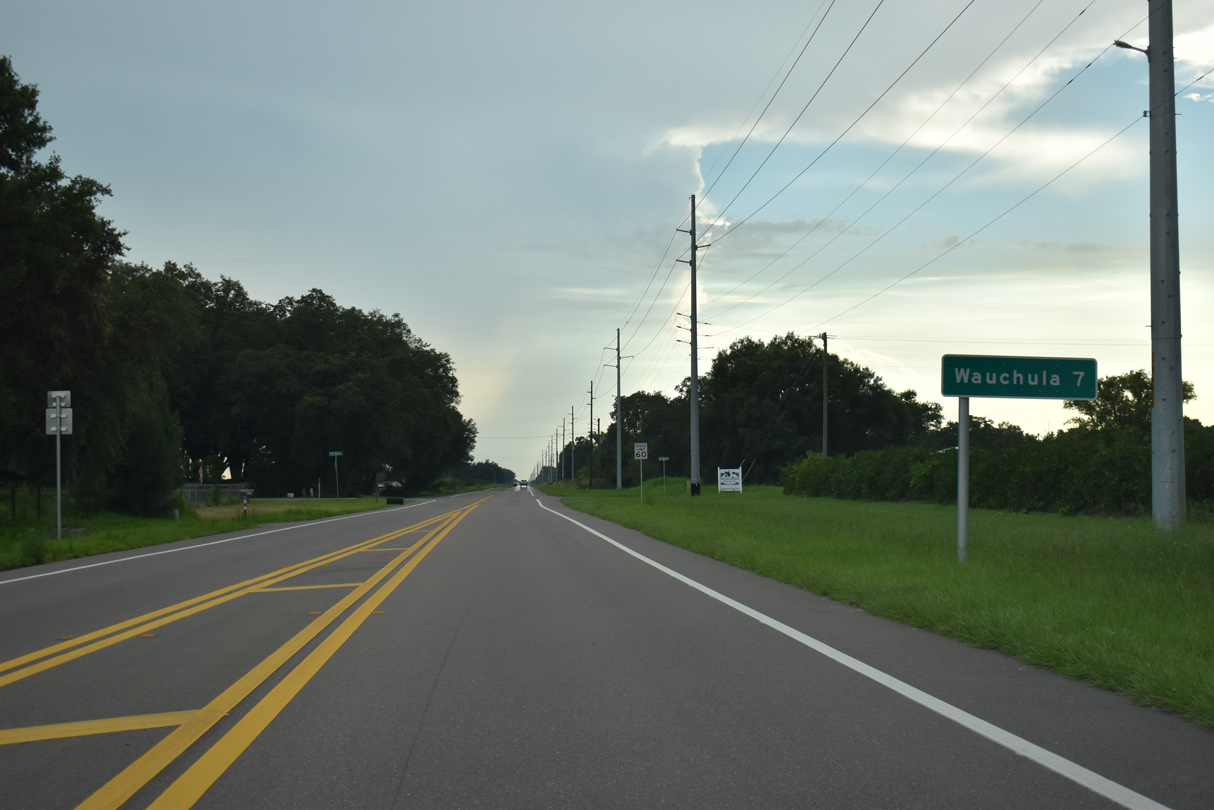
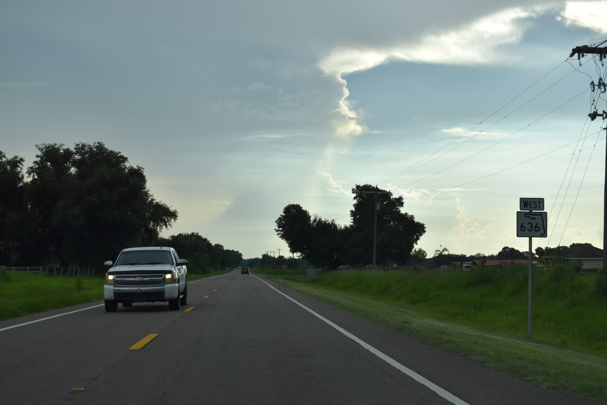
State Road 636 connects U.S. 17 and the Hardee County seat of Wauchula with SR 64 east to Avon Park. The mostly rural, 6.97 mile long route replaced the eastern half of SR 64A. CR 64A remains southwest from Wauchula 6.74 miles to SR 64 at Oak Grove, though the route is unsigned.
Main Street - East
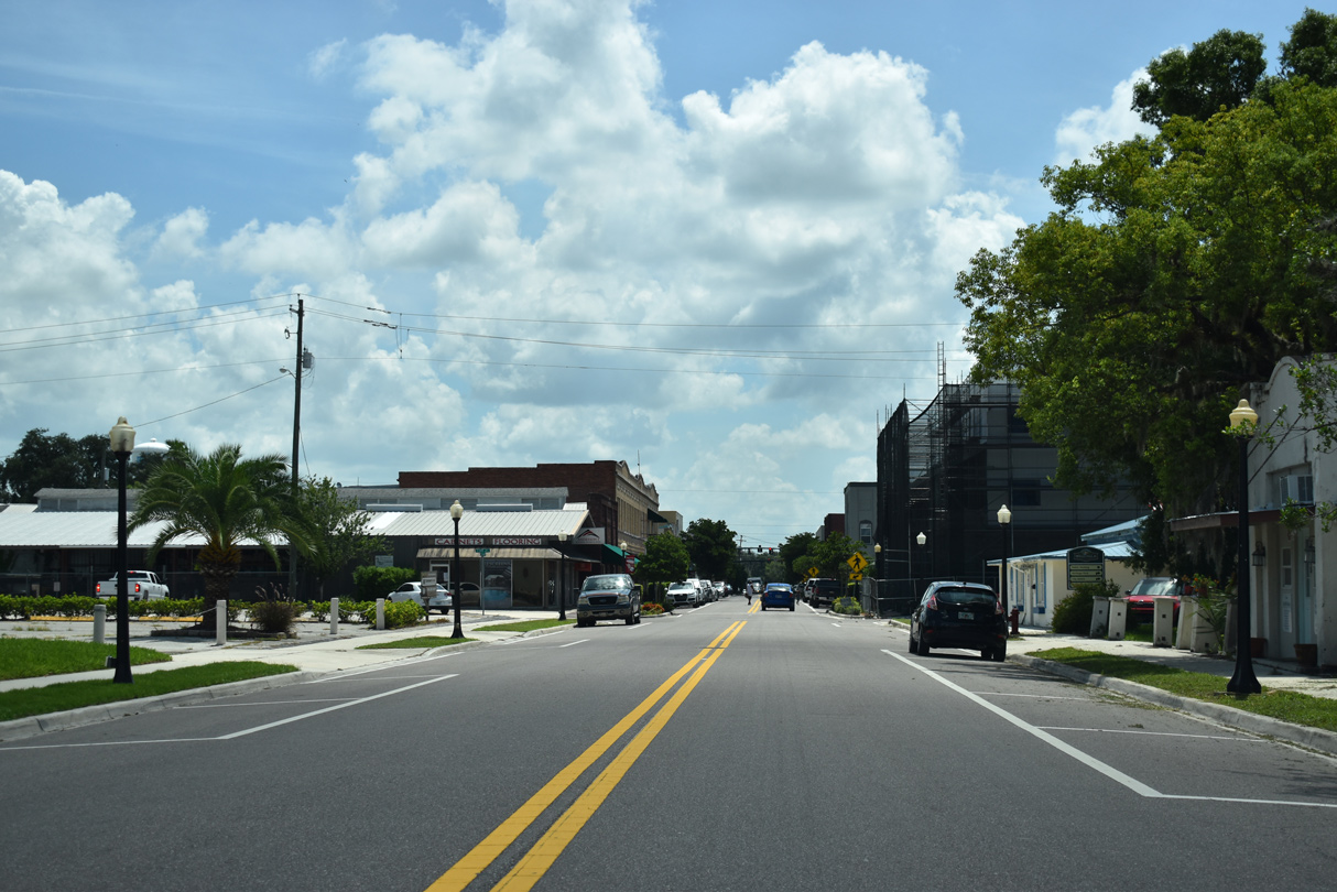
Main Street (unsigned CR 64A) heads five blocks east from Florida Avenue (CR 35A) to SR 636 at U.S. 17 in Downtown Wauchula.
07/02/19
Main Street east at 7th Avenue.
07/02/19
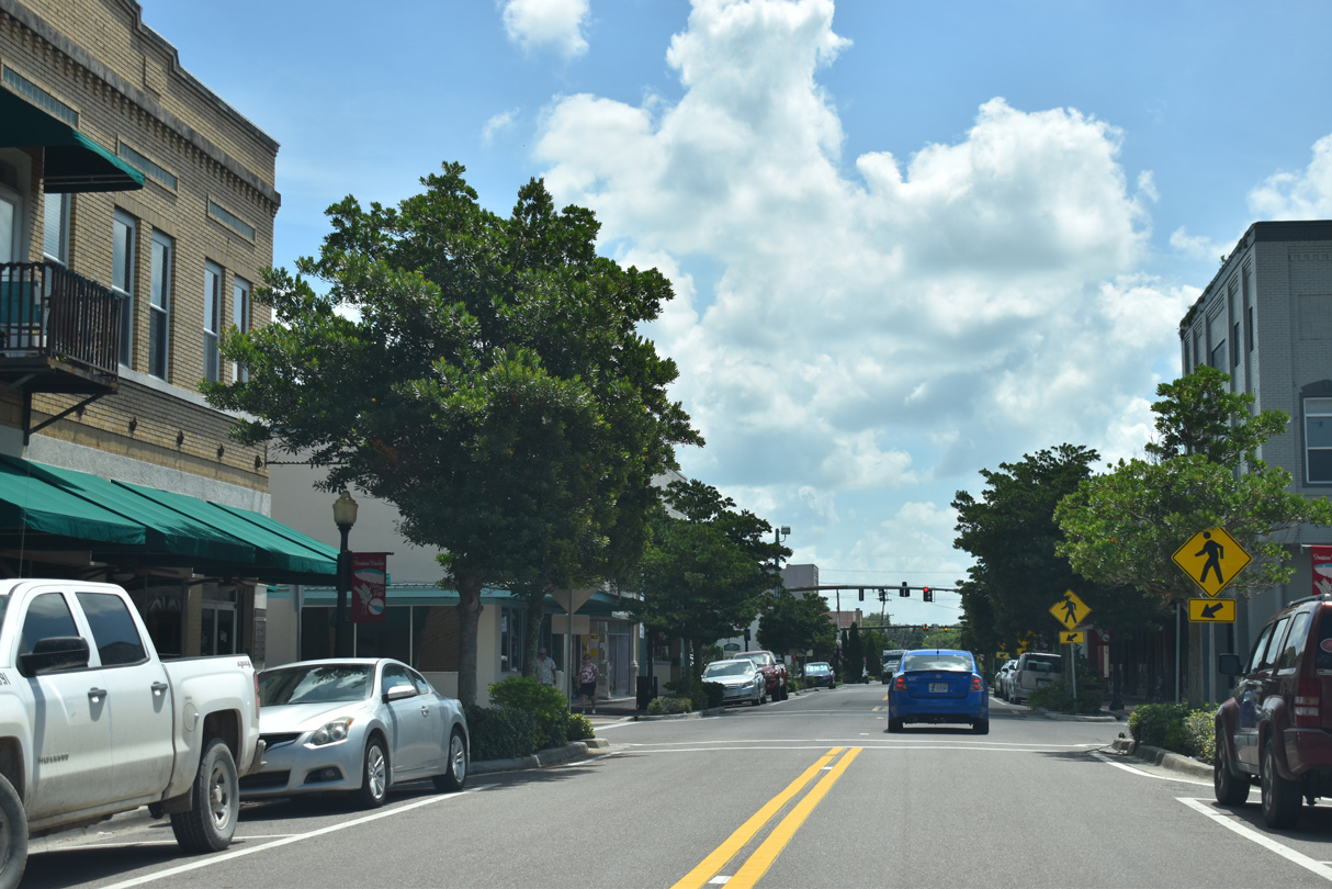
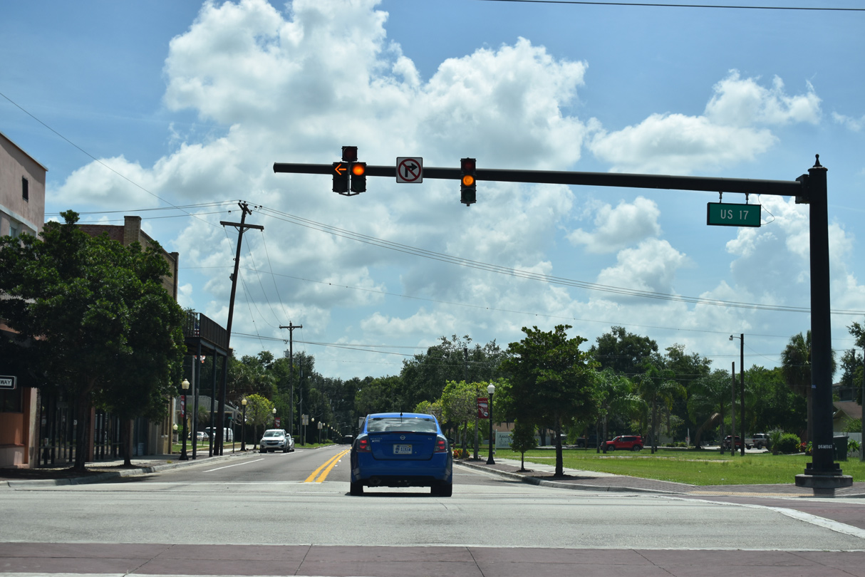
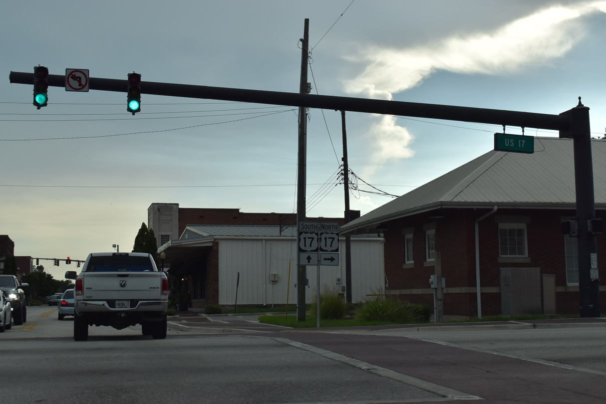
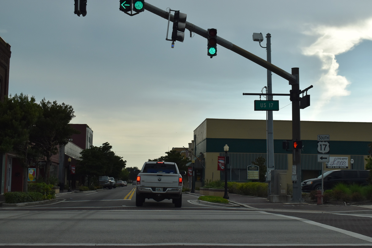
Main Street becomes a part of SR 636 east from U.S. 17 (6th Avenue) southbound in Downtown Wauchula.
07/02/19
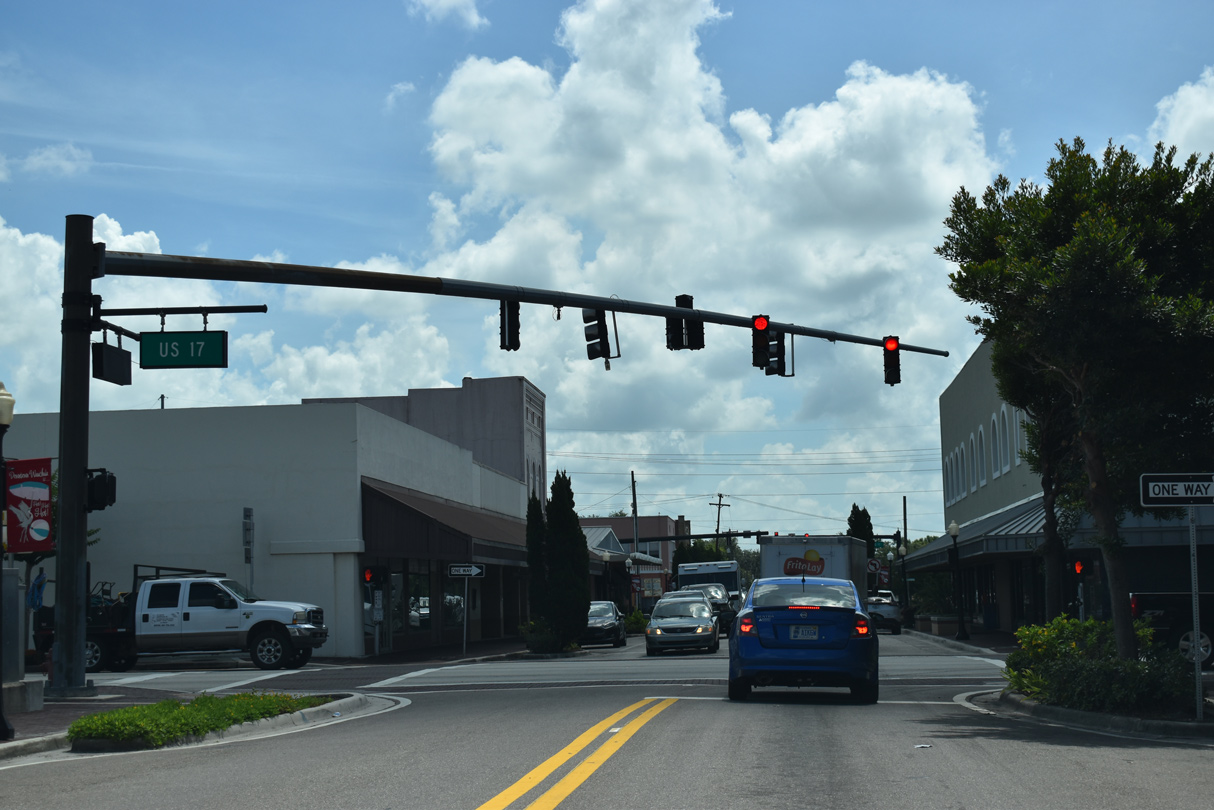
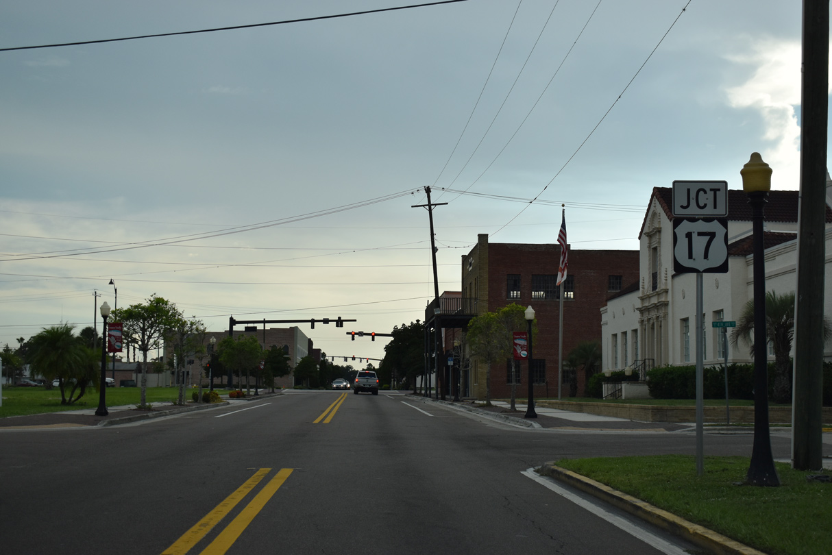
SR 636 (Main Street) east proceeds east to George Burris Avenue and U.S. 17 northbound.
07/02/19
07/02/19
07/02/19
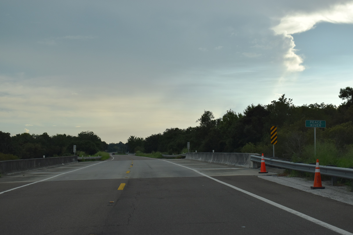
SR 636 (Main Street) continues east from Wauchula across the Peace River.
07/02/19
07/02/19
07/02/19
07/02/19
07/02/19
07/02/19
07/02/19
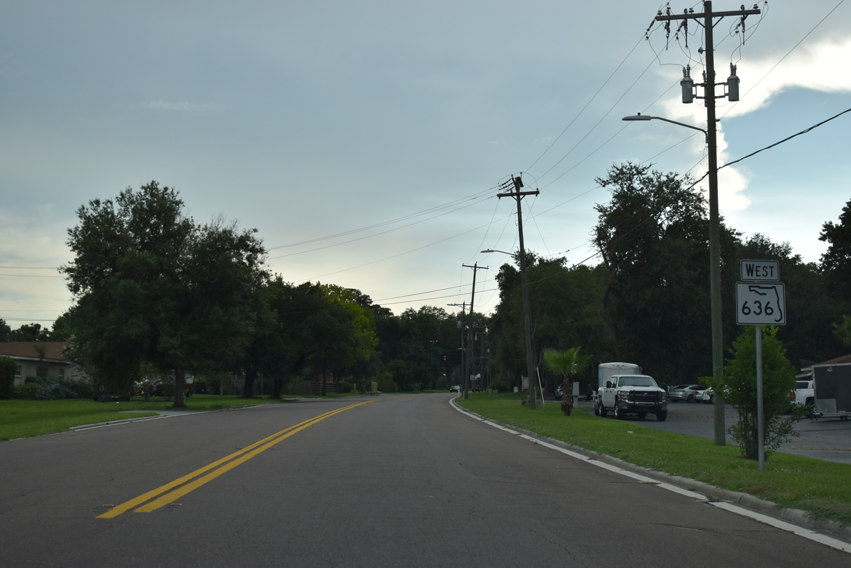
SR 636 west of Hollandtown Road.
07/02/19
07/02/19
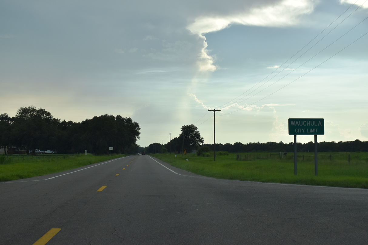
The Wauchula city limits extend east along SR 636 to the intersection with Airport Road.
07/02/19
07/02/19
SR 636 (Main Street) west of Griffin Road in Wauchula.
07/02/19
07/02/19
07/02/19
Unsigned CR 64A extends west along Main Street. The 6.74 mile long route arcs southwest from U.S. 17/SR 636 to SR 64 at Oak Grove.
07/02/19
Photo Credits:
07/02/19 by AARoads and JP Nasiatka
Connect with:
U.S. 17
State Road 64
Page Updated 03-25-2021.