|
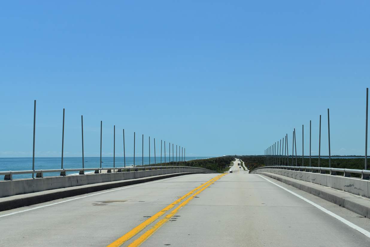
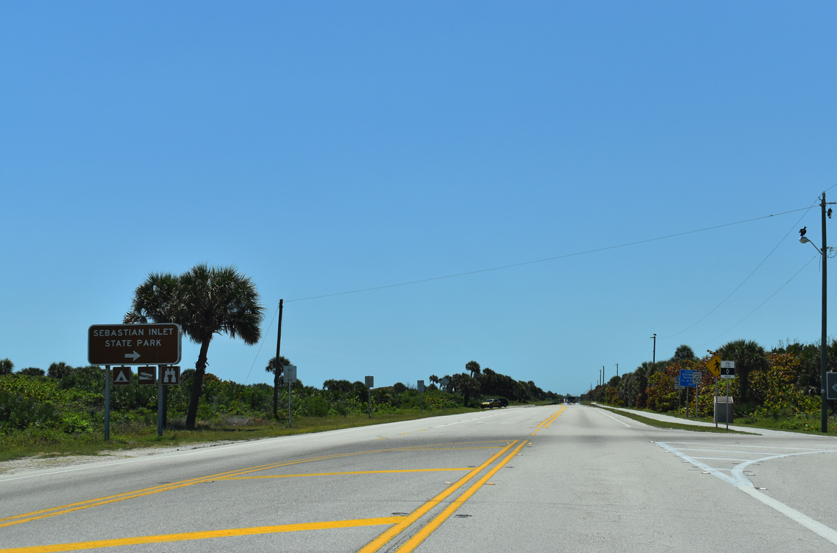
| SR A1A lowers from the Sebastian Inlet bridge onto Orchid Island. 04/24/19 |
|
| The southern portion of Sebastian Inlet State Park includes a campground off Coconut Point on the Indian River side of Orchid Island. 04/24/19 |
|
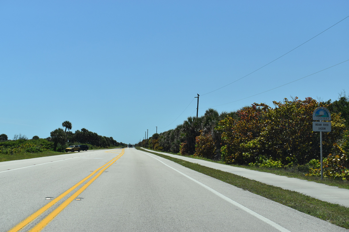
| The Indian River Lagoon scenic byway coincides with SR A1A throughout Indian River County. 04/24/19 |
|
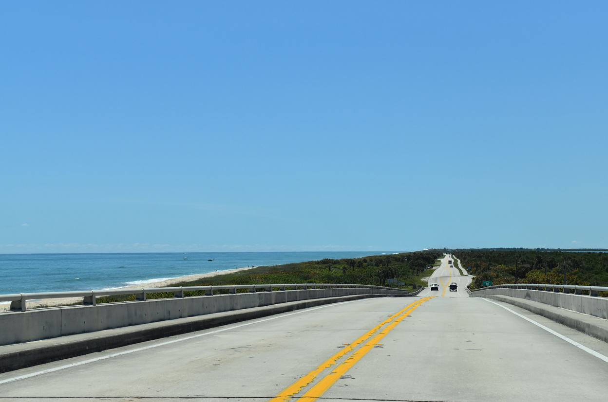
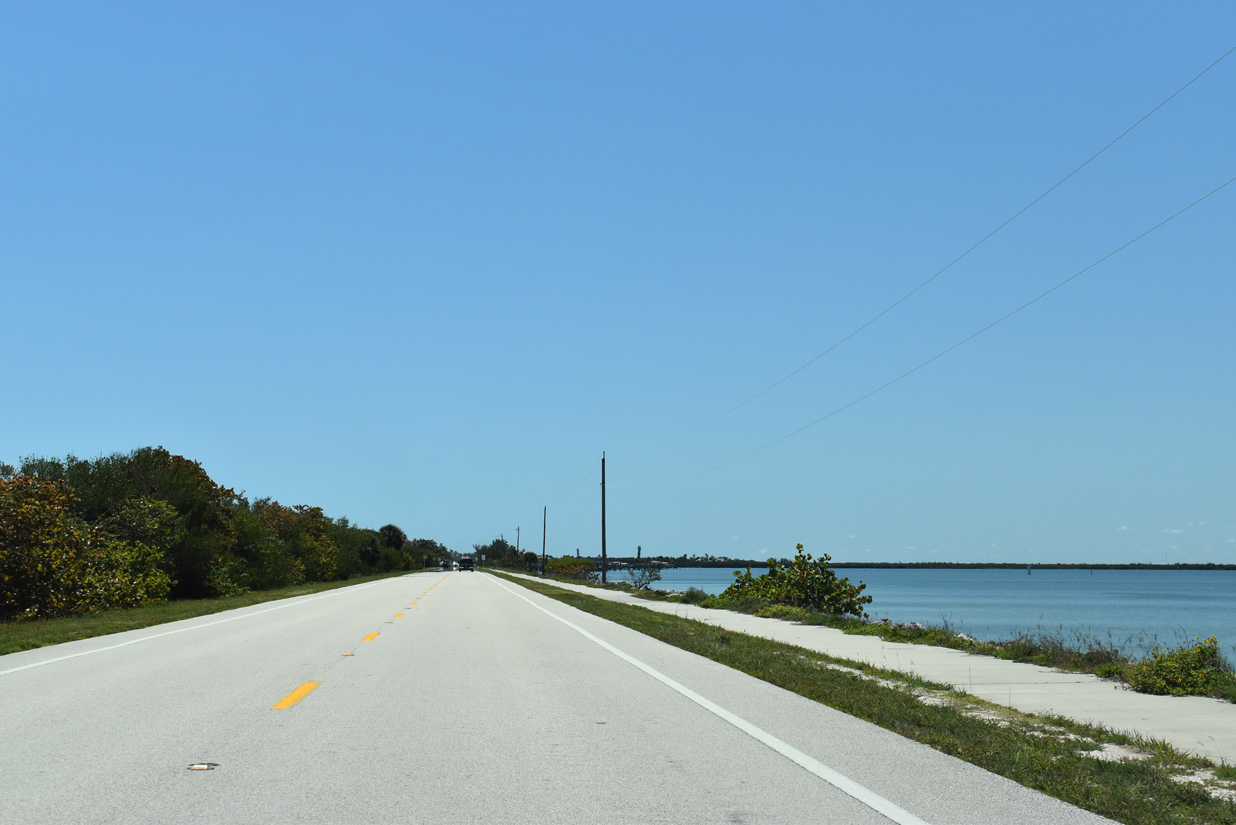
| SR A1A advances south along a narrow strip of land between News Cut and the Atlantic Ocean. 04/24/19 |
|
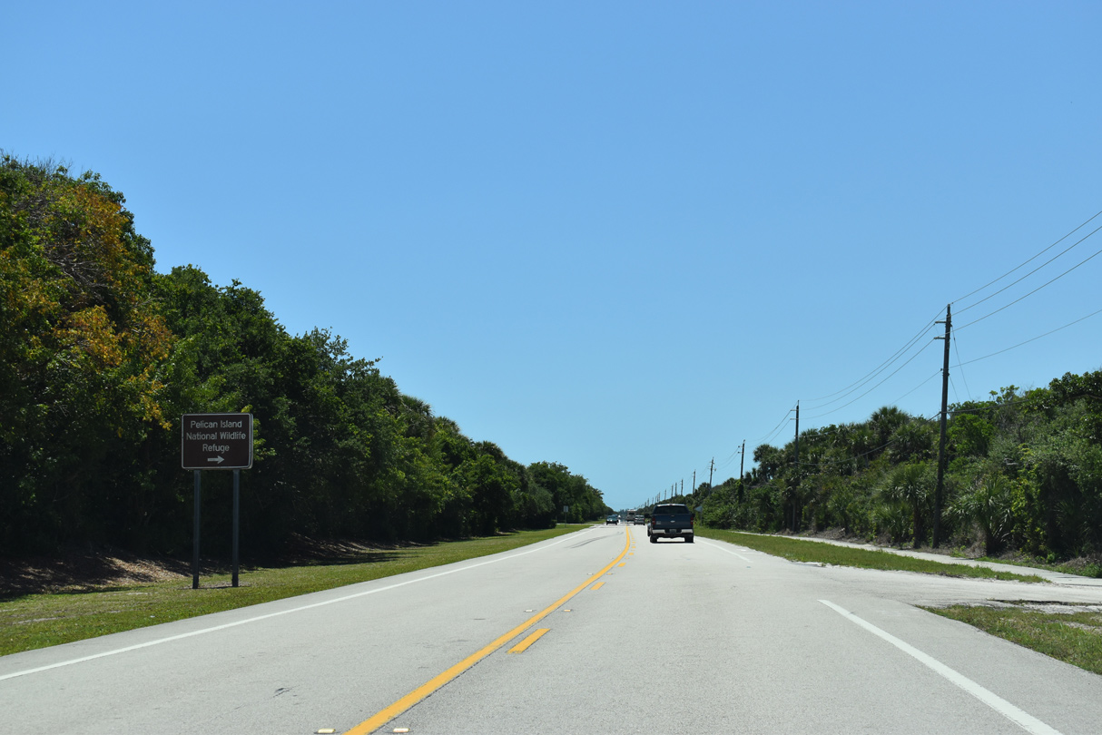
| Passing south of Big Slough, SR A1A reaches Pelican Island National Wildlife Refuge. 04/24/19 |
|
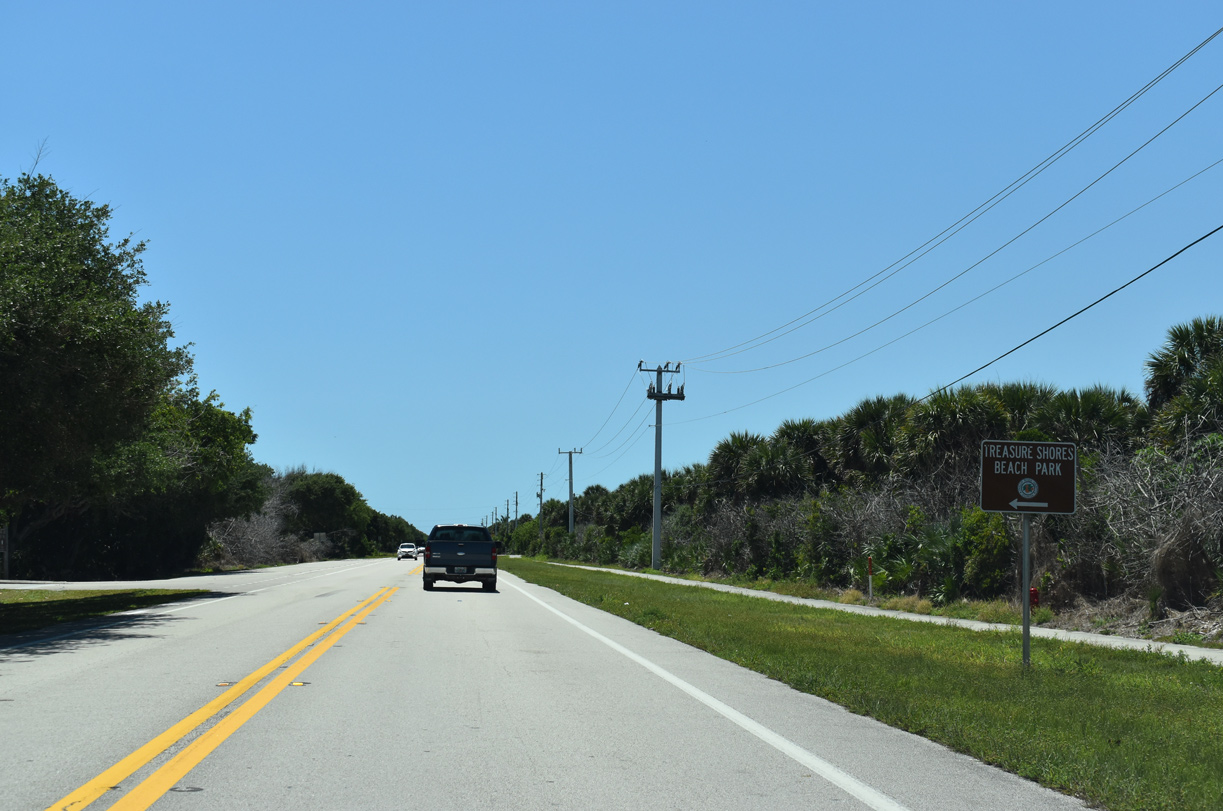
| Southbound at Treasure Shores Beach Park. 04/24/19 |
|
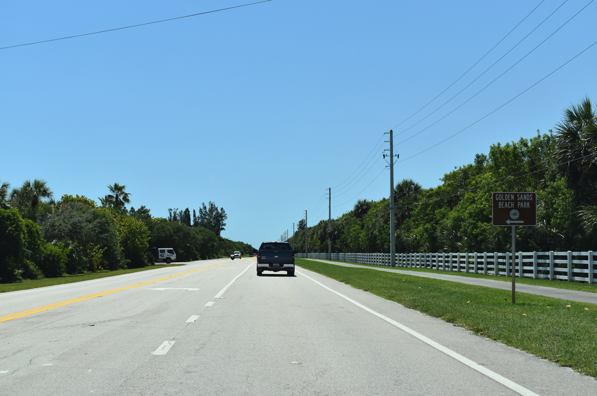
| Golden Sands Beach Park follows along SR A1A south by the Windsor community. 04/24/19 |
|
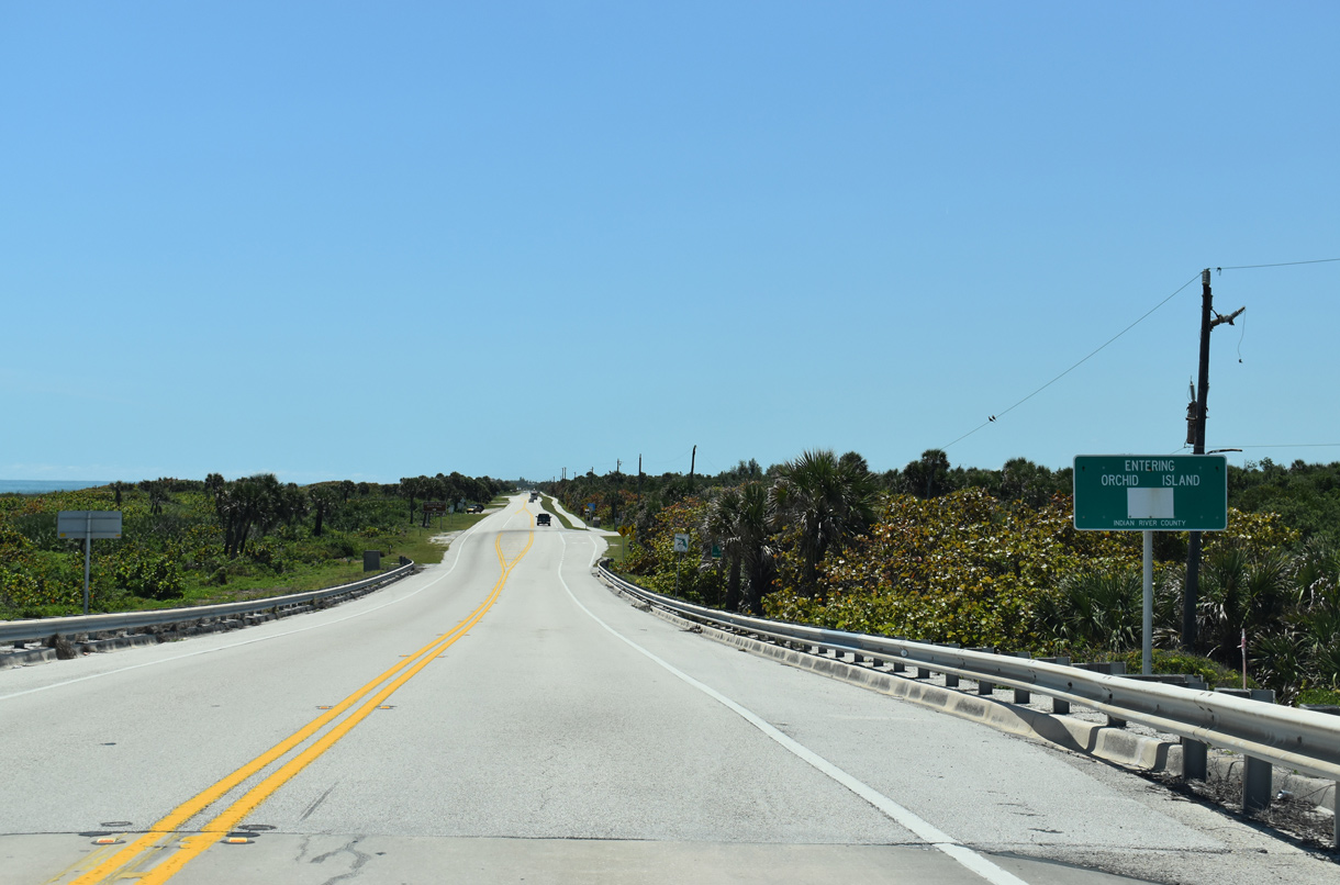
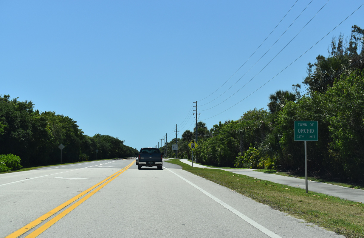
| Entering the town of Orchid. 04/24/19 |
|
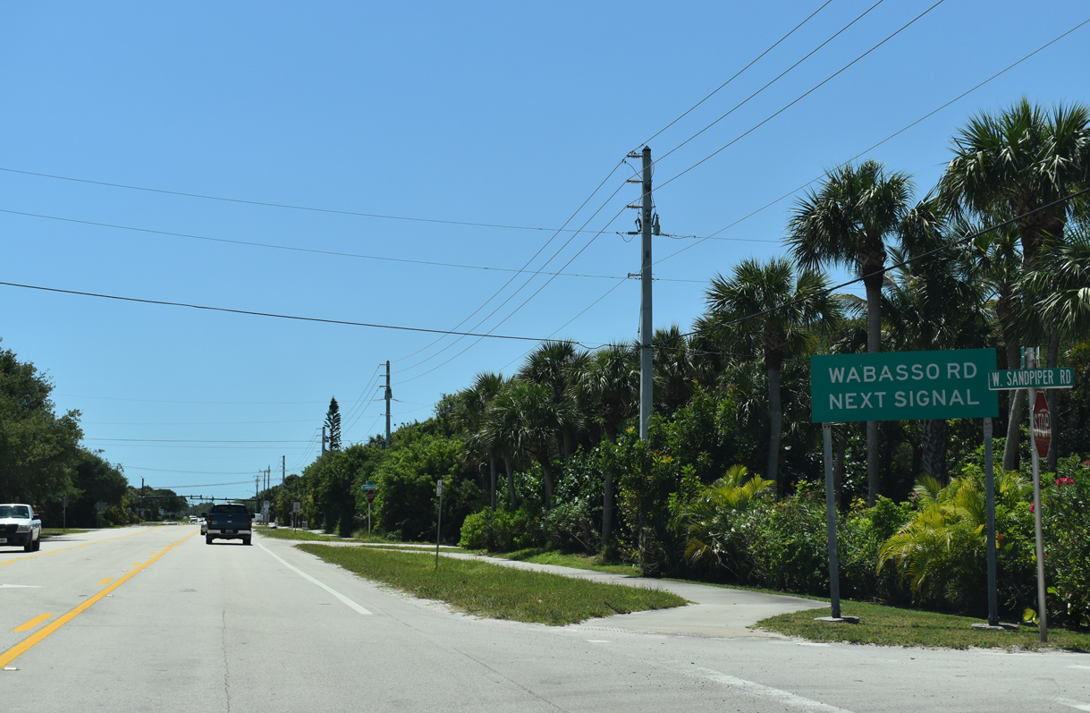
| South from Orchid, Highway A1A advances through a residential street grid at Wabasso Beach. 04/24/19 |
|
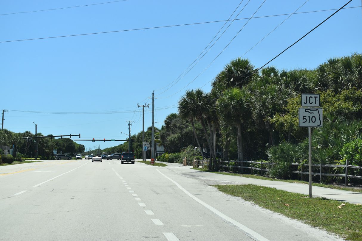
| State Road 510 is the first of four bridges spanning Indian River from the coastal barrier islands along SR A1A. Crossing the A. B. Michael (Wabasso) Bridge, SR 510 leads west to U.S. 1 at the unincorporated community of Wabasso. 04/24/19 |
|
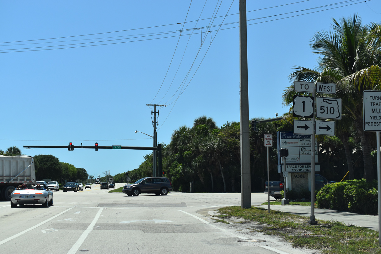
| SR 510 (Wabasso Beach Road) stems west from SR A1A at Wabasso Beach Park 2.61 miles to U.S. 1 at 85th Street. CR 510 (85th Street) extends from there to Vero Lake Estates. 04/24/19 |
|
| Continuing south from SR 510 (Wabasso Beach Road), SR A1A passes by Disney's Vero Beach Resort. 04/24/19 |
|
| SR A1A travels through the town of Indian River Shores from Island Club Manor, entrance road to The Island Club of Vero Beach development, and Silver Shores Road, east of McCullers Cove. 05/16/08 |
|
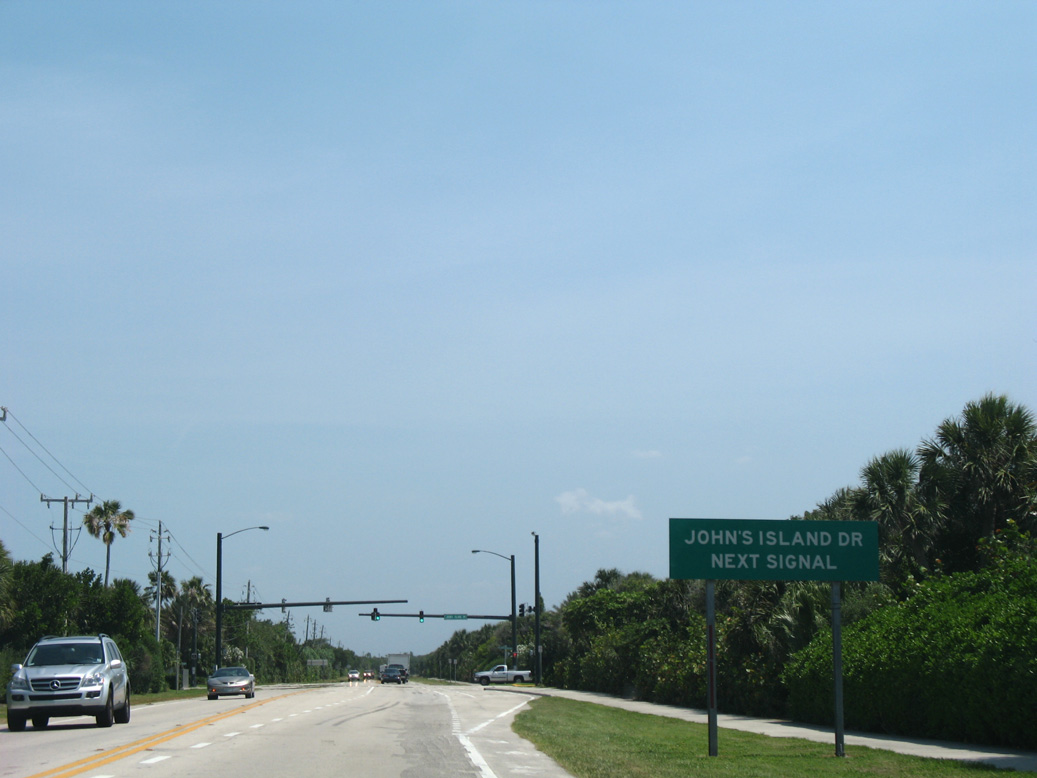
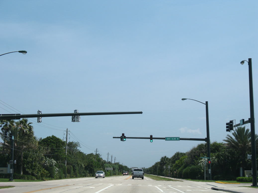
| Traffic lights operate on SR A1A at John's Island Drive for the gated entrances to the John's Island golf course community. 05/16/08 |
|
| Fred R. Tuerk Drive east and Beachcomber Lane west come together at SR A1A by Indian River Shores Town Hall. 05/16/08 |
|
| Removed by 2011, this SR A1A reassurance marker appeared southbound at Pebble Lane by the VeraCruz condominium complex. 05/16/08 |
|
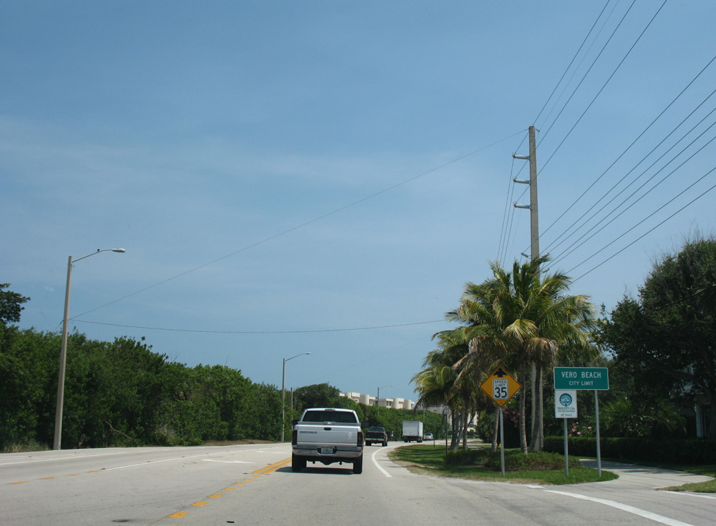
| Crossing into the city of Vero Beach, SR A1A winds between the Atlantic Ocean and Bethel Creek. 05/16/08 |
|
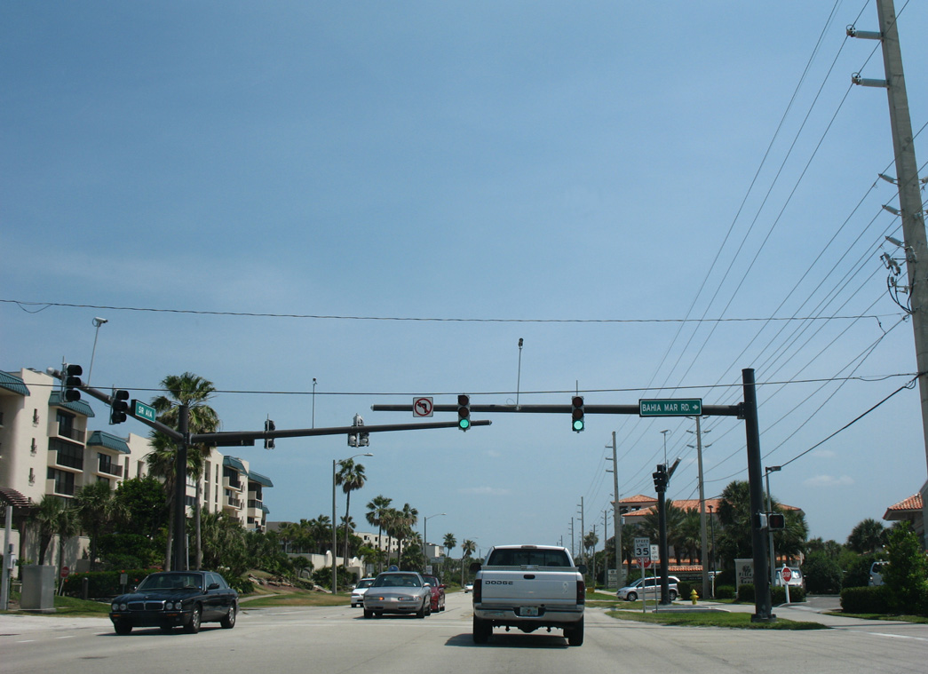
| Bahia Mar Road stems west to a canal lined neighborhood along Jandrew Cove and Bethel Creek. 05/16/08 |
|
| SR A1A shield posted south at Kumquat Drive in Vero Beach. This assembly was taken down in 2016. 05/16/08 |
|
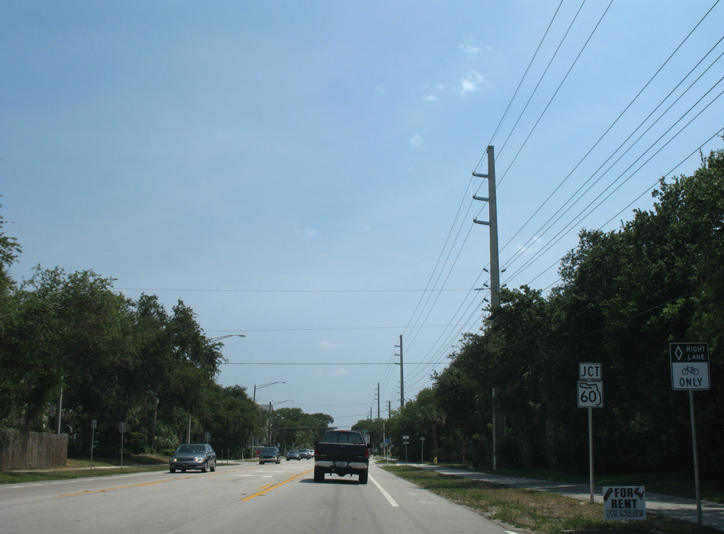
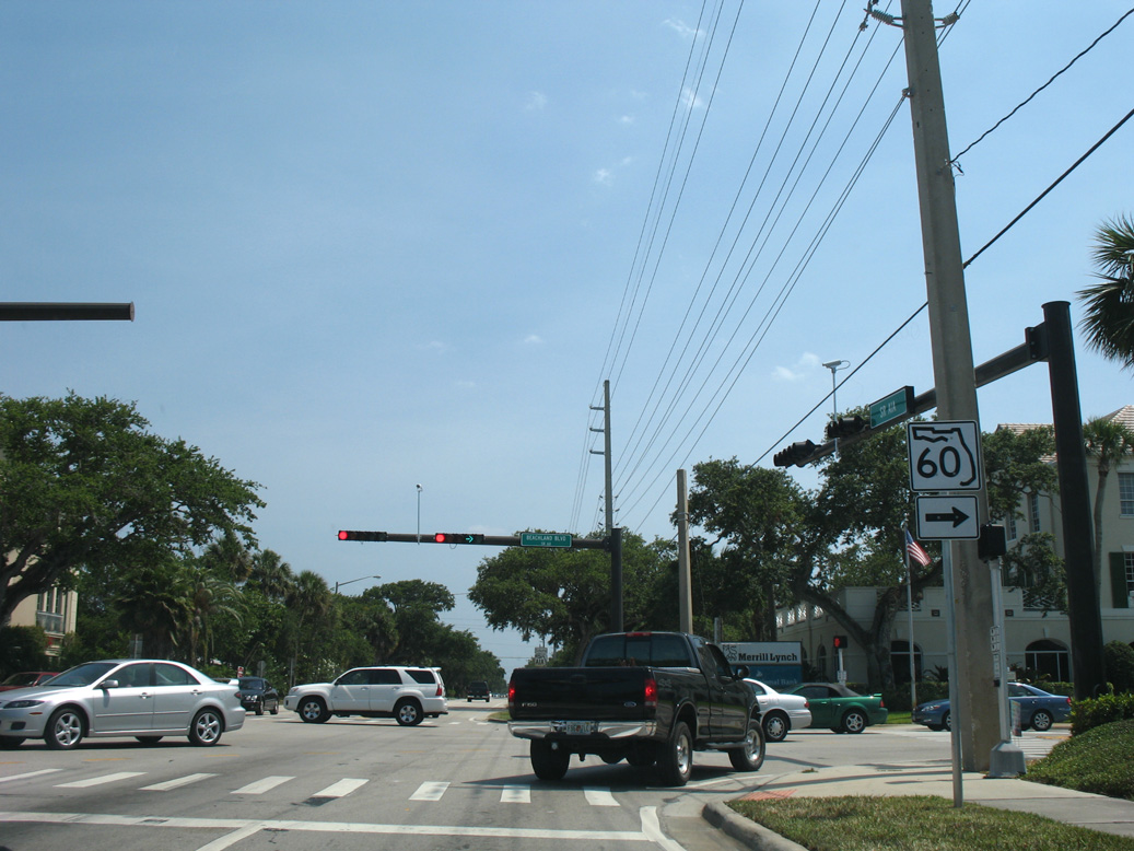
| SR A1A converges with the east end of SR 60 (Beachland Boulevard) in a residential area west of Sexton Plaza Beach in north Vero Beach. 05/16/08 |
|
| SR 60 spans the Indian River across the Merrill P. Barber Bridge to Indian River Boulevard. The state road dog legs south to 20th Street west to Downtown Vero Beach. Overall SR 60 crosses the Florida peninsula from the Treasure Coast to Bartow, Tampa and Clearwater. 05/16/08 |
|
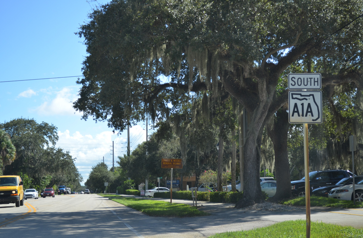
| South from SR 60 (Beachland Boulevard), SR A1A proceeds through Riomar, Vero Beach. 10/01/15 |
|
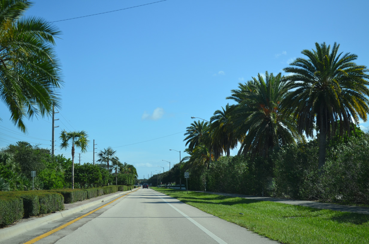
| A landscaped median separates traffic along Highway A1A by Riomar Country Club golf course. 10/01/15 |
|
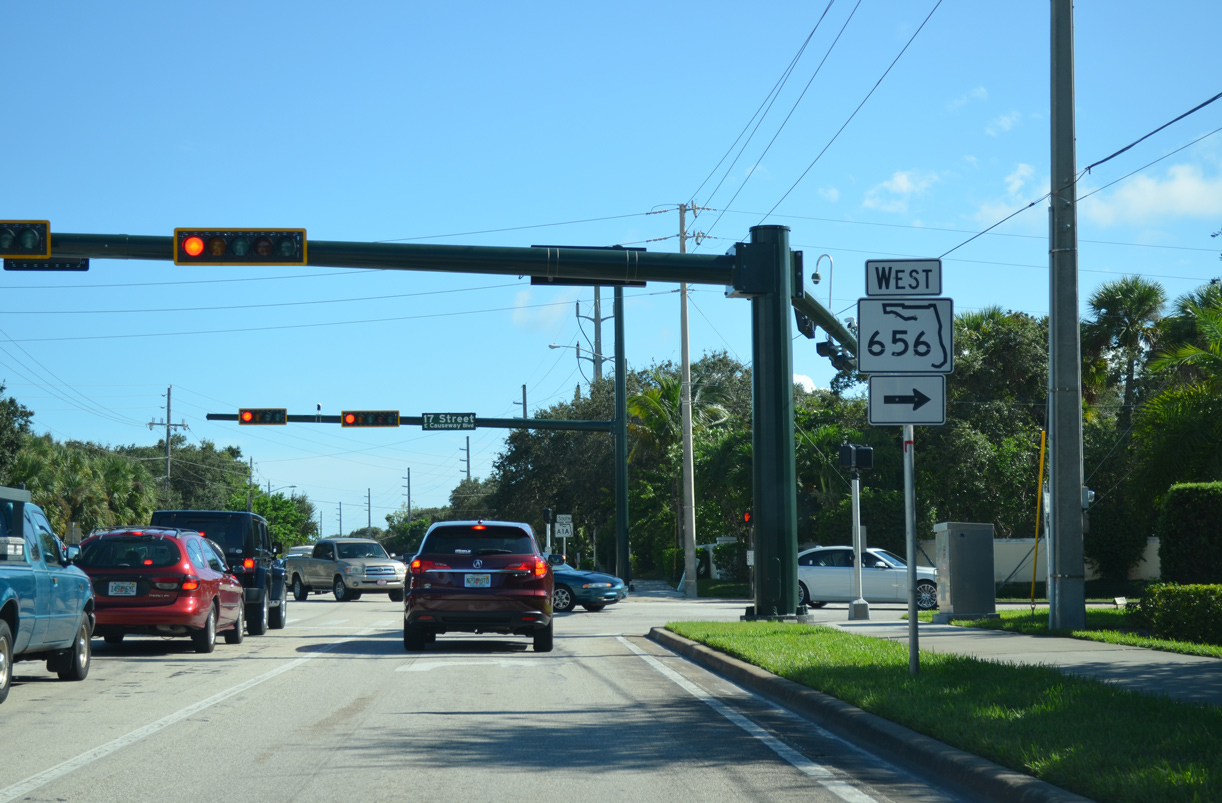
| State Road 656 stems west from SR A1A across the Alma Lee Loy (17th Street) Bridge to U.S. 1 (8th Avenue) southeast of Downtown Vero Beach. 10/01/15 |
|
| SR 656 runs 1.98 miles west to U.S. 1 along 17th Street. Causeway Boulevard extends east from SR A1A/656 to South Beach Park. 10/01/15 |
|
| Shifting eastward from SR 656 / Causeway Boulevard, SR A1A continues another 0.75 mile to the south Vero Beach city line. 04/24/19 |
|
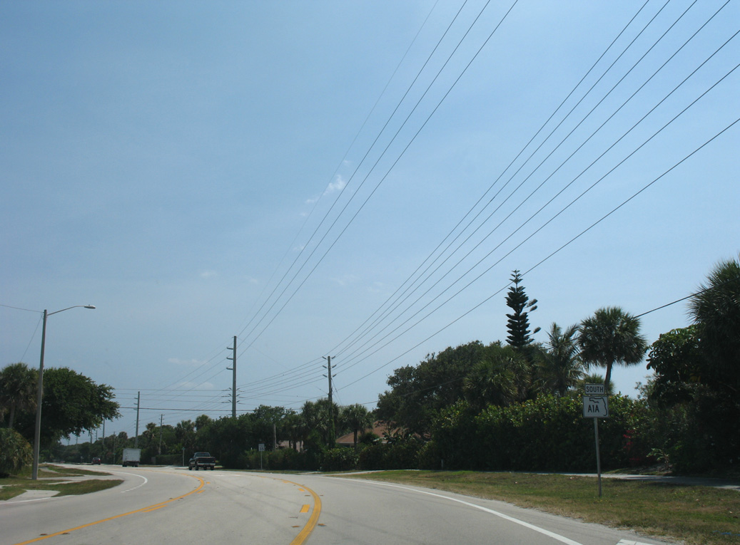
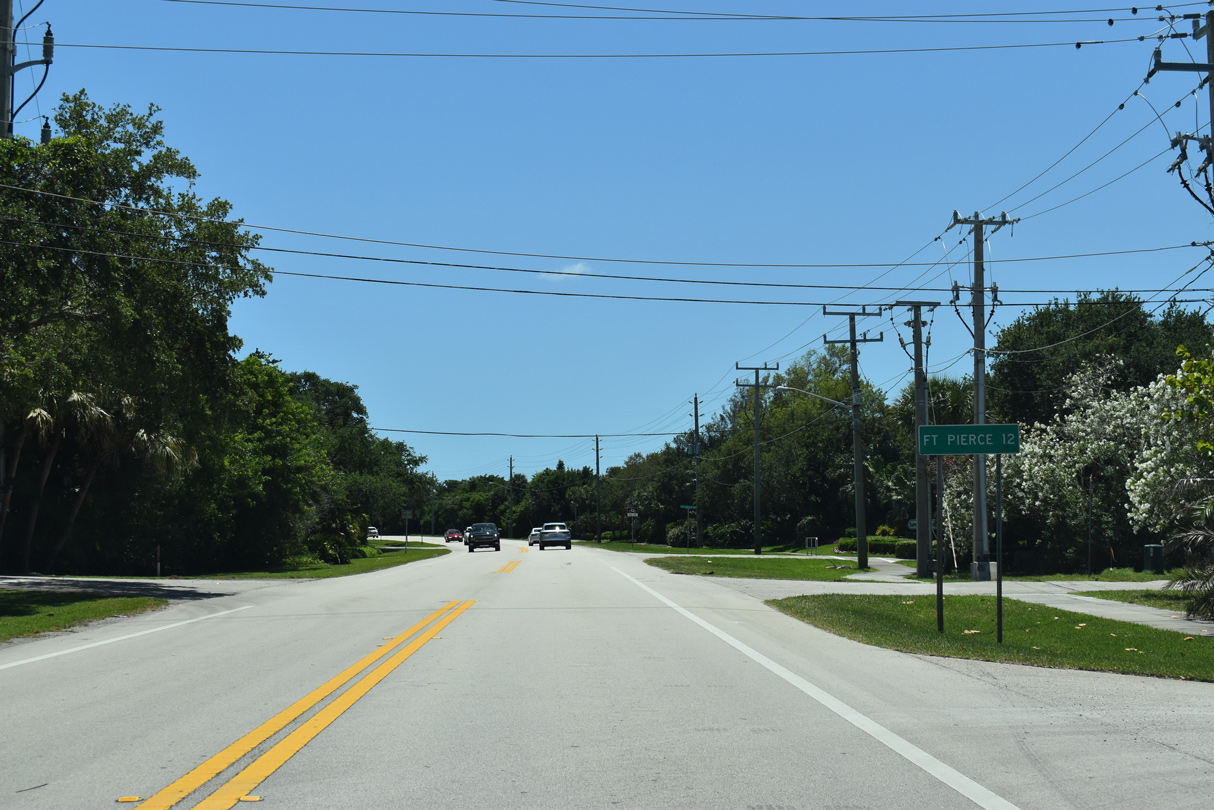
| Heading south from Vero Beach, SR A1A continues 12 miles to Fort Pierce. 04/24/19 |
|
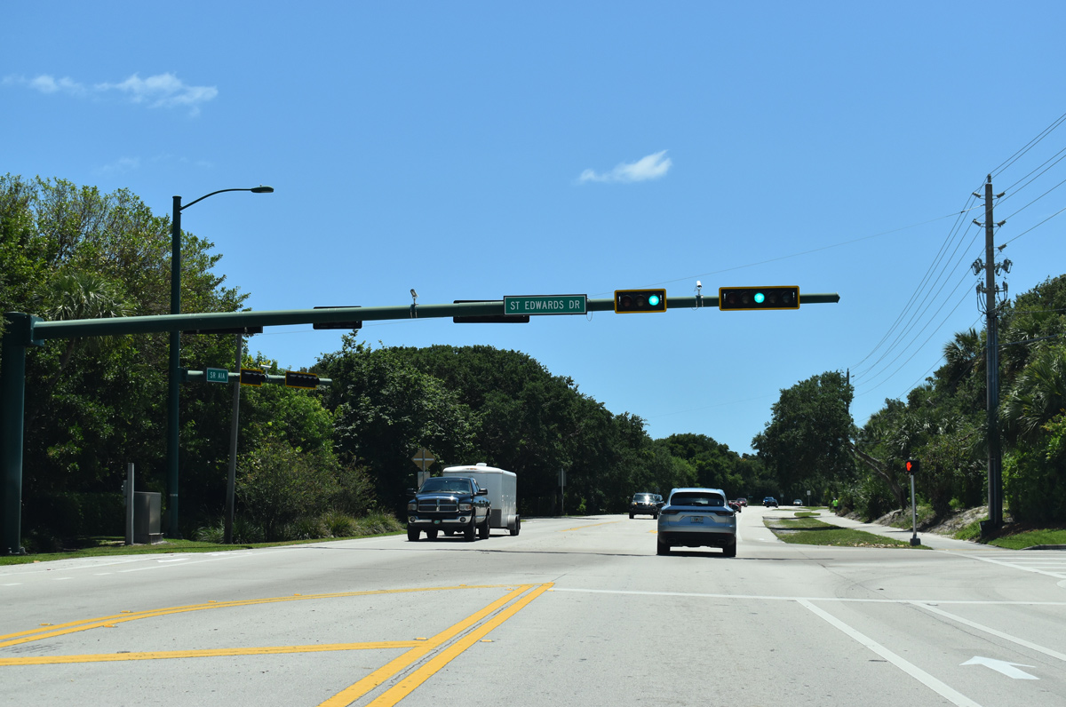
| Traffic lights operate at St. Edwards Drive for St. Edward's School. 04/24/19 |
|
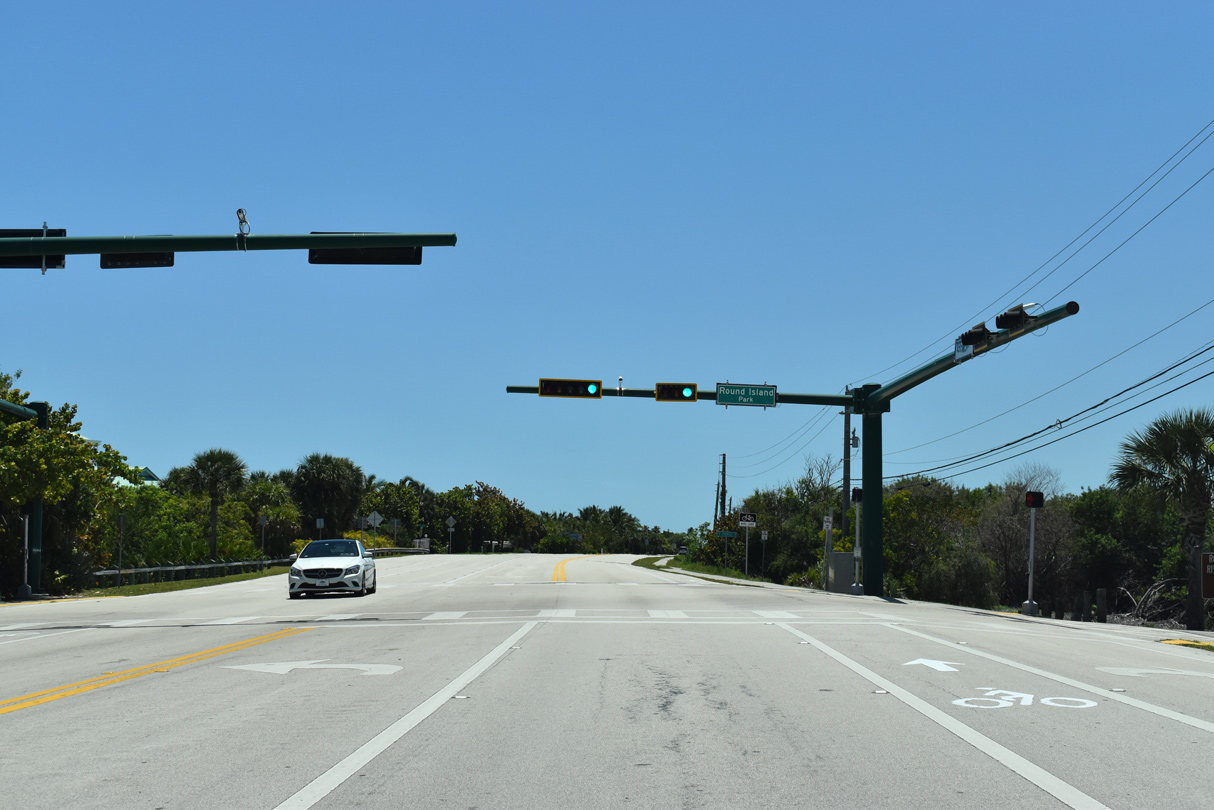
| SR A1A south at Round Island Beach and Riverside Parks. 04/24/19 |
|
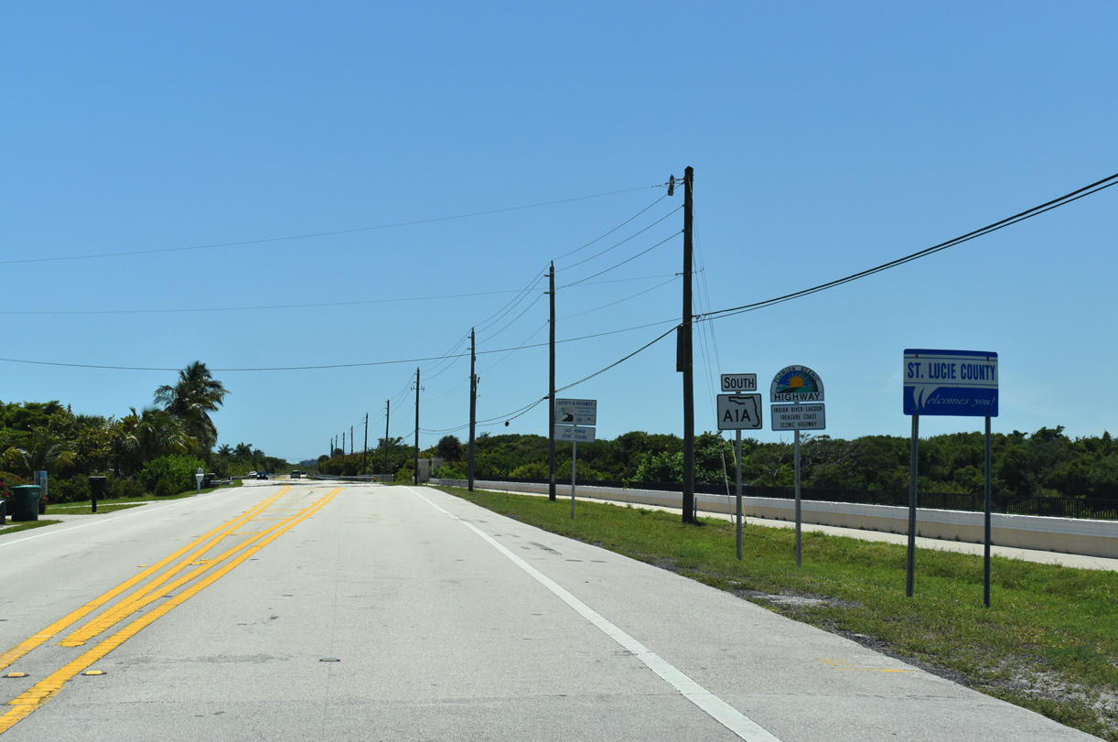
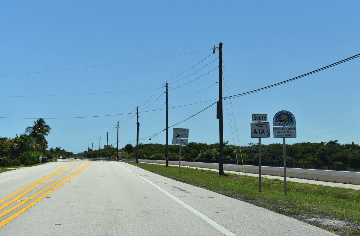
| SR A1A crosses into St. Lucie County east of Round Island and Big Starvation Cove. 04/24/19 |
|
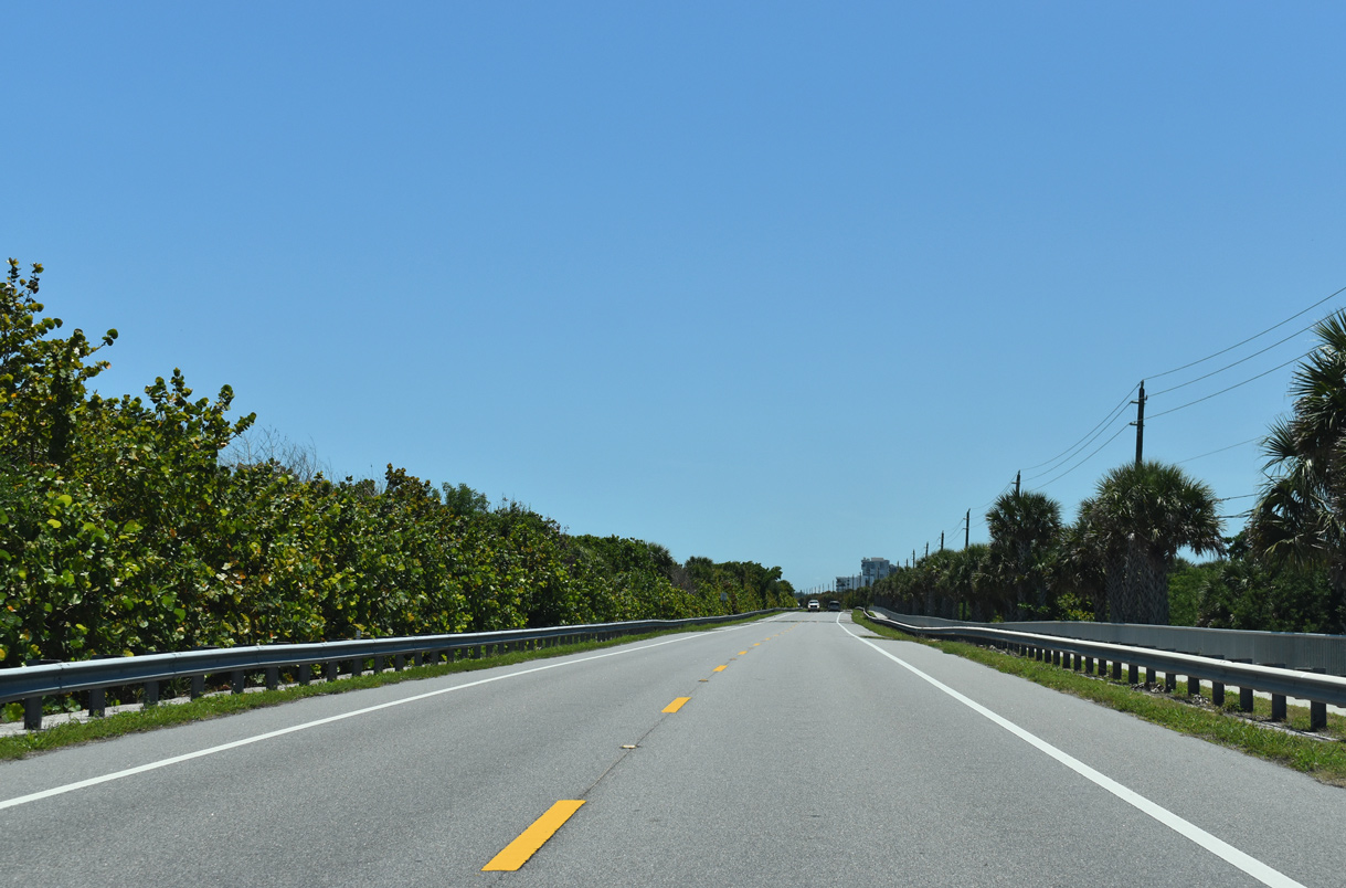
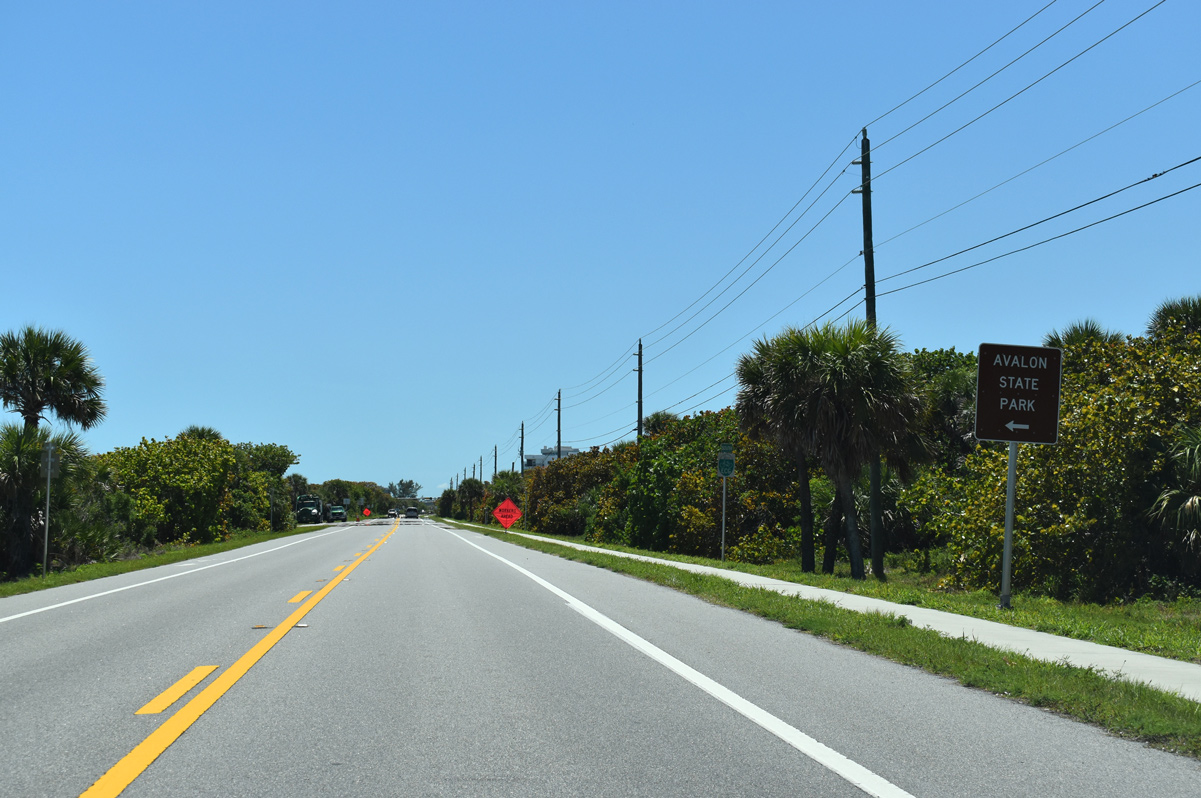
| Avalon State Park spreads across North Hutchinson Island just south of the county line and east from Blue Hole Point. 04/24/19 |
|
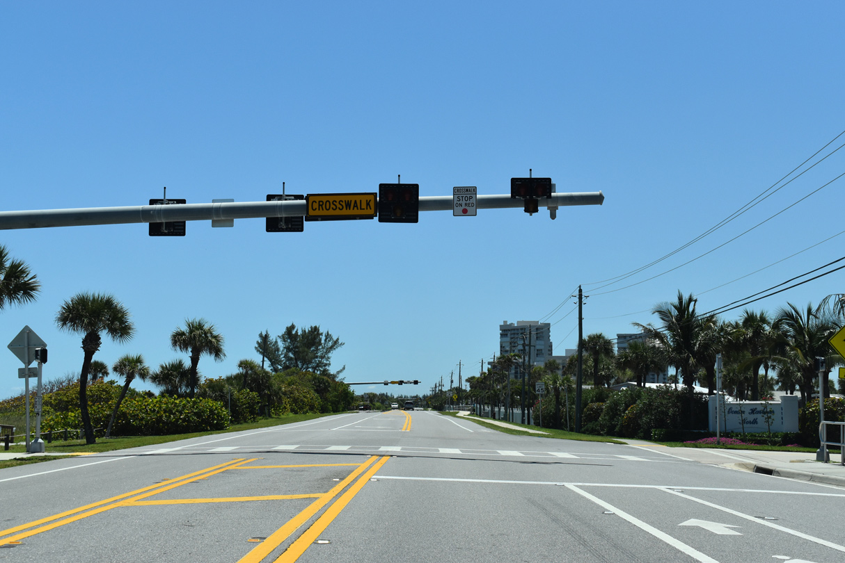
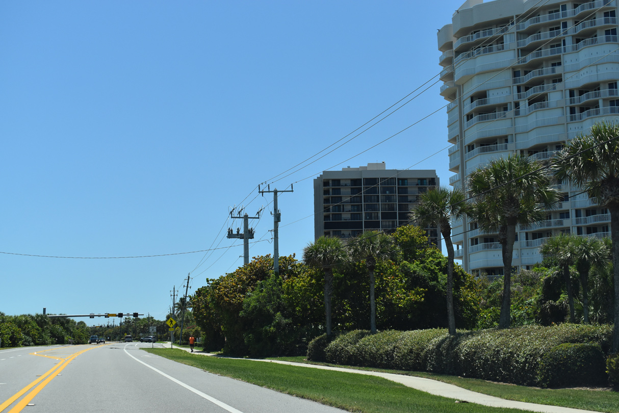
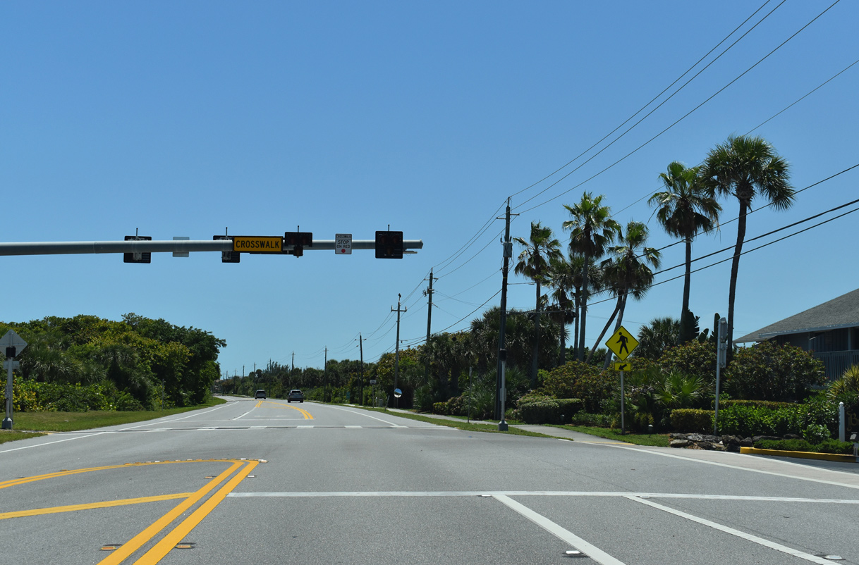
| A series of four HAWK signals line SR A1A at condominium beach access points from Ocean Harbour south to the Breakers. 04/24/19 |
|
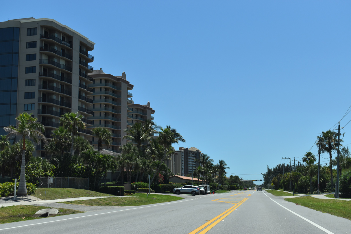
| A fifth HAWK signal along SR A1A in St. Lucie County operates at the Ocean Harbour South condo towers. 04/24/19 |
|
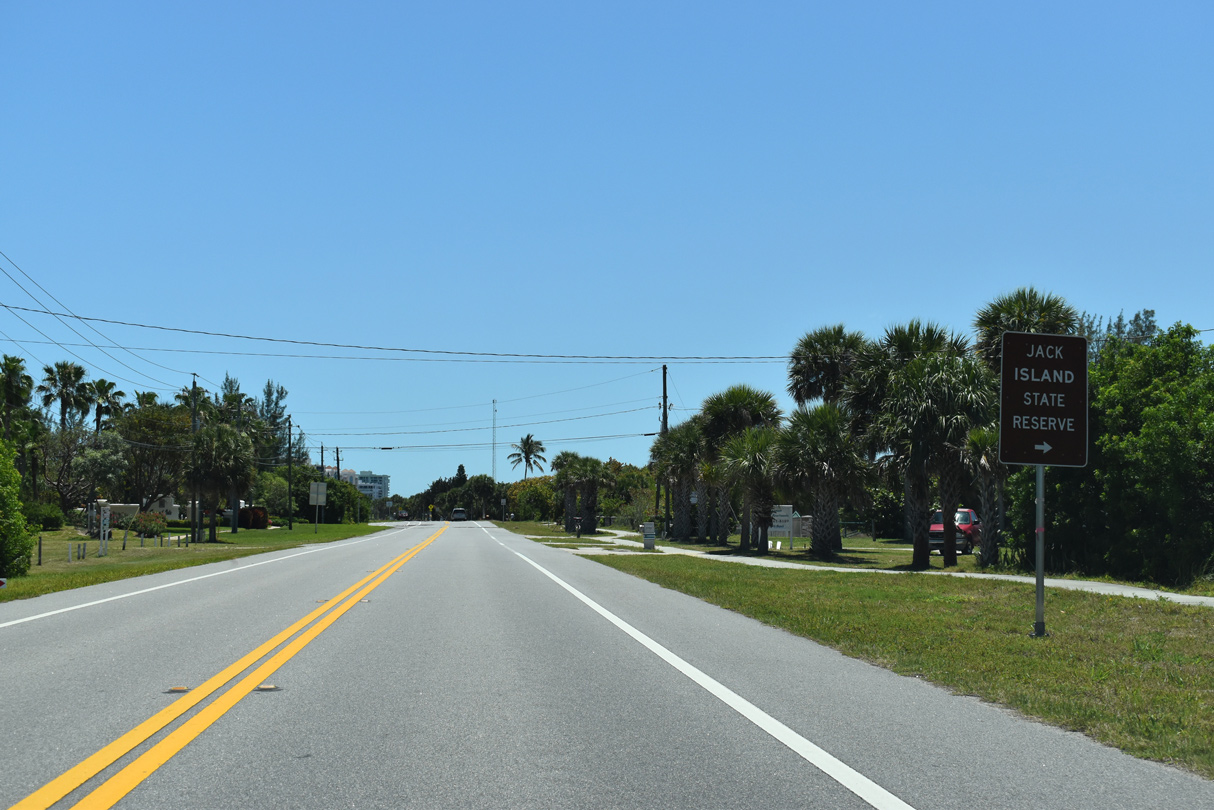
| Jack Island State Reserve lies west of SR A1A and north of Pepper Park. 04/24/19 |
|
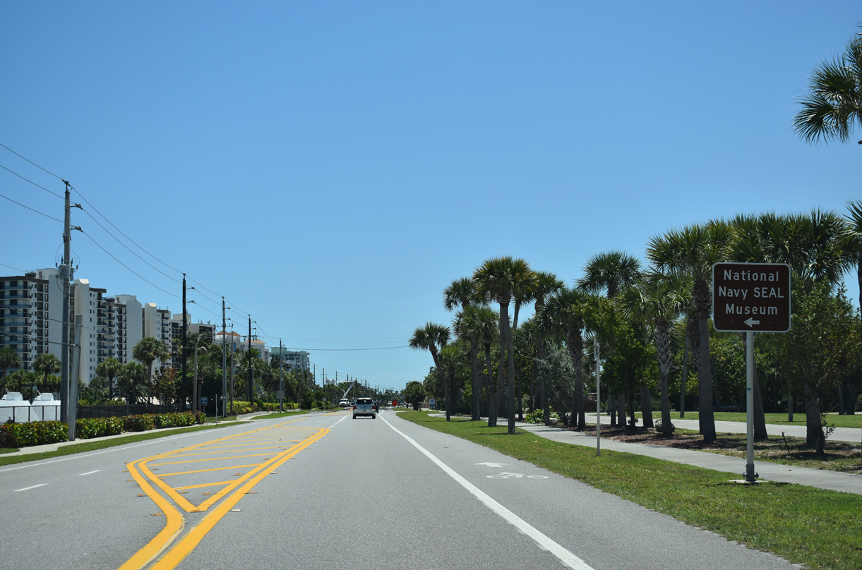
| The National Navy SEAL Museum lies adjacent to Pepper Park along the east side of SR A1A. 04/24/19 |
|
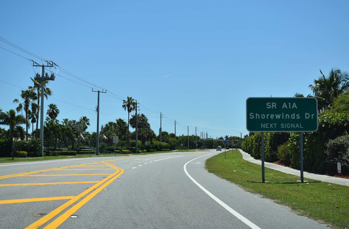
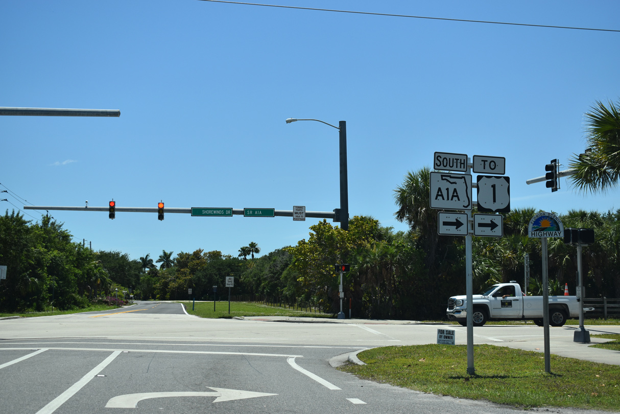
| SR A1A turns west along Shorewinds Drive at the forthcoming traffic light. Atlantic Beach Boulevard extends the roadway south to a neighborhood adjacent to Fort Pierce Inlet State Park. 04/24/19 |
|
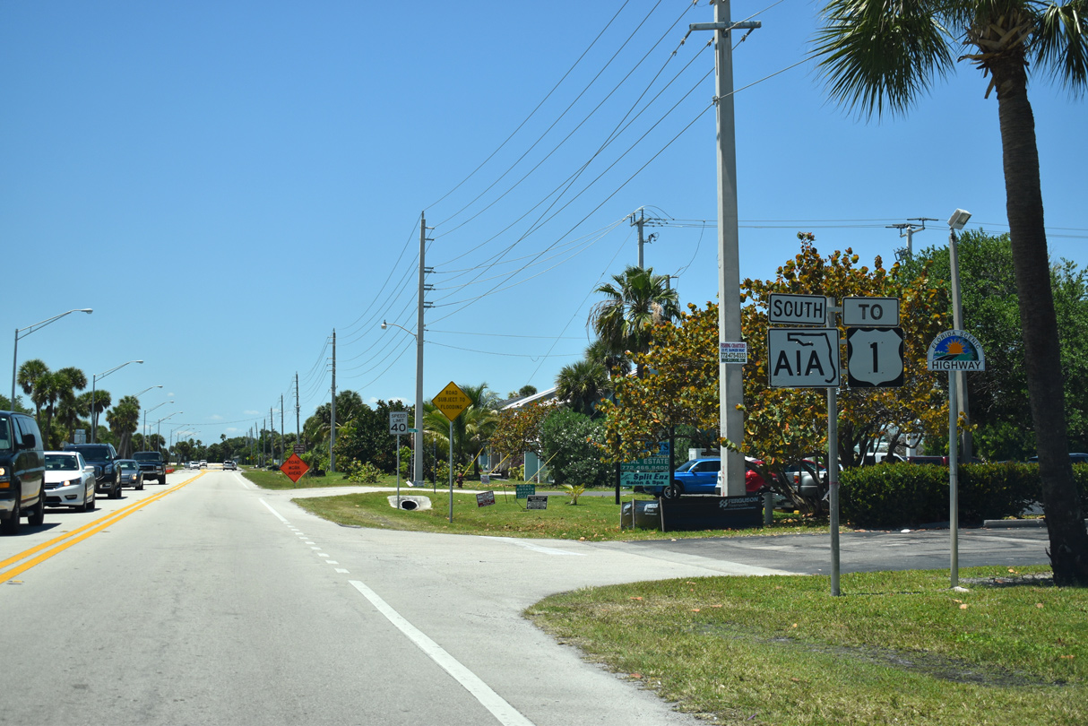
| SR A1A follows Shorewinds Drive and North Beach Causeway 2.5 miles west to U.S. 1 in Fort Pierce. 04/24/19 |
|
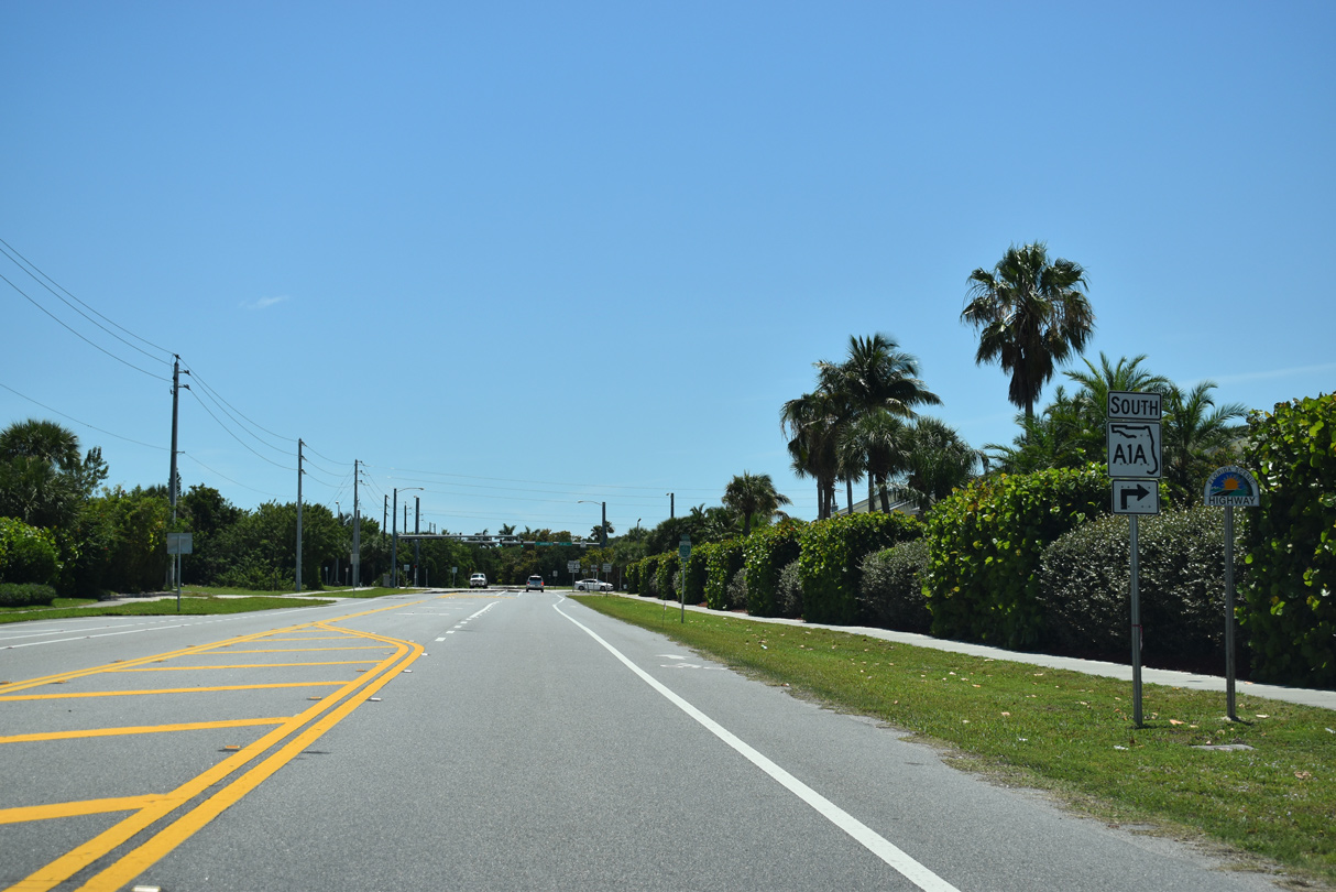
| SR A1A (Shorewinds Drive) arcs southwest between Fort Pierce Inlet State Park and Fort Pierce Cut. 04/24/19 |
|
| Crossing onto Jim Island, SR A1A transitions to North Causeway. 04/24/19 |
|
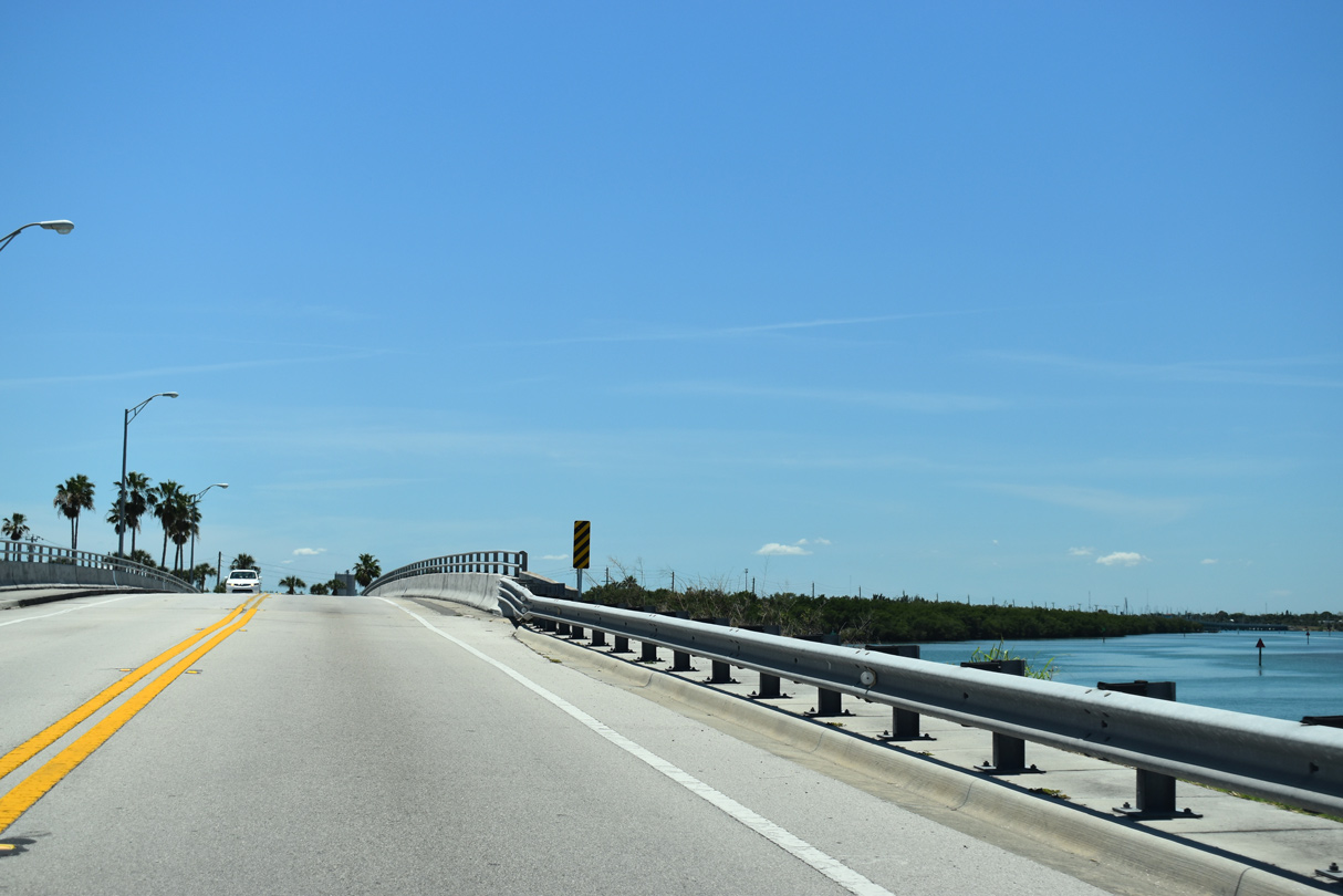
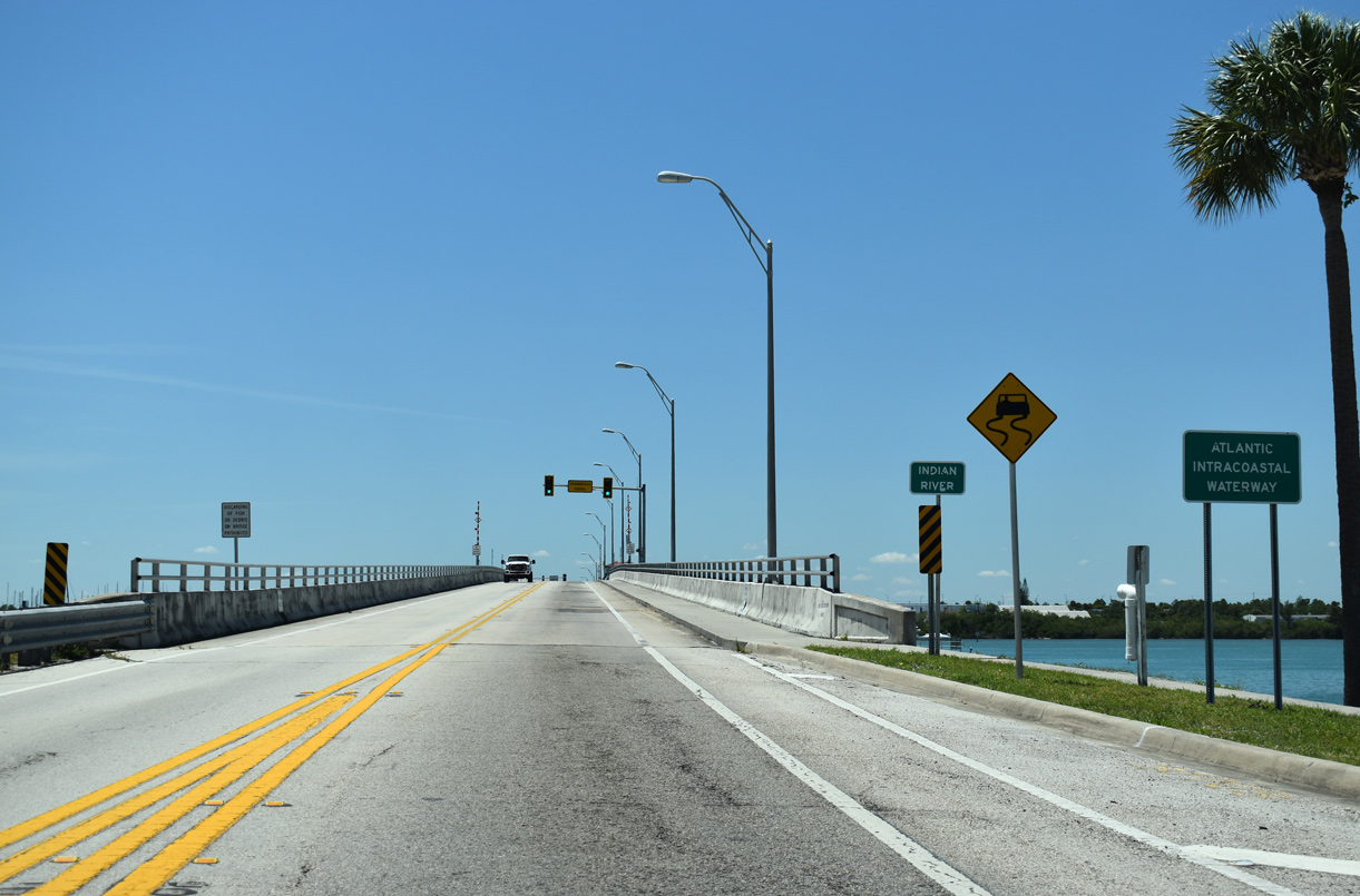
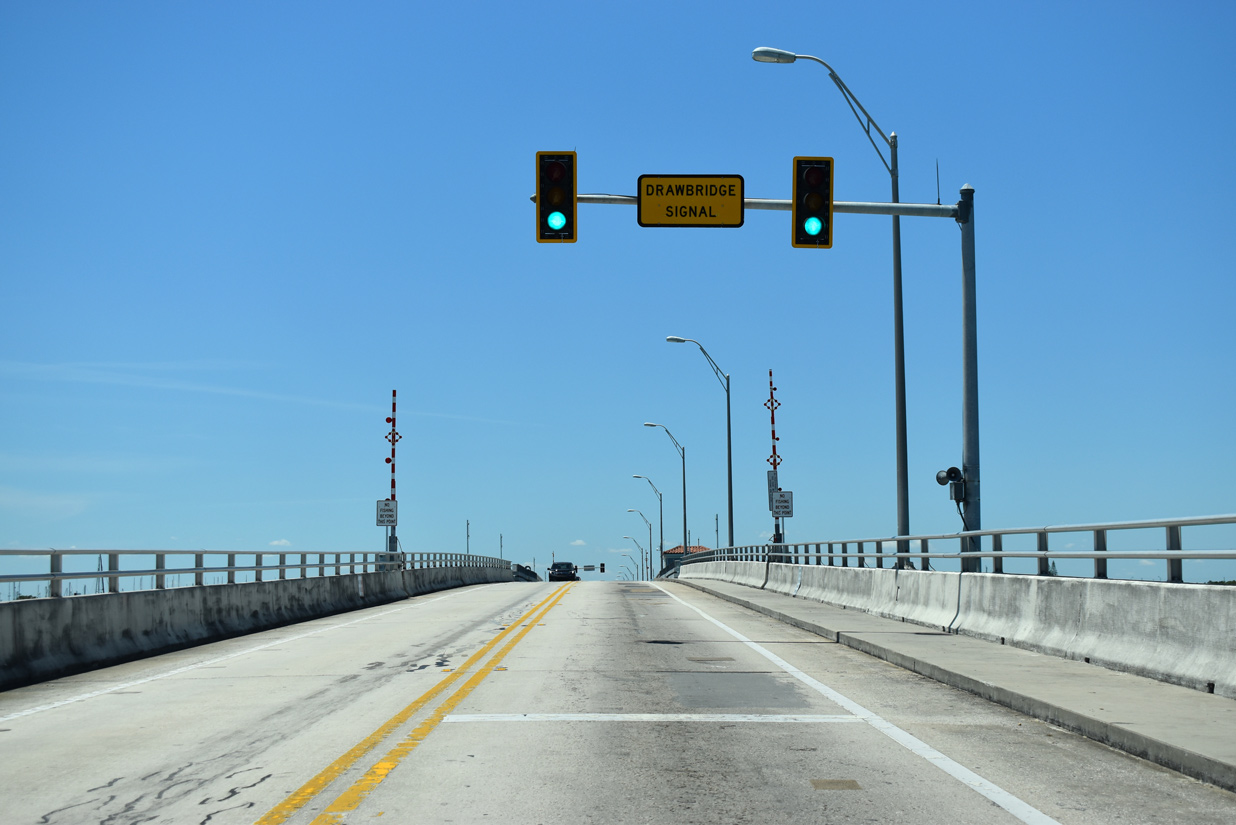
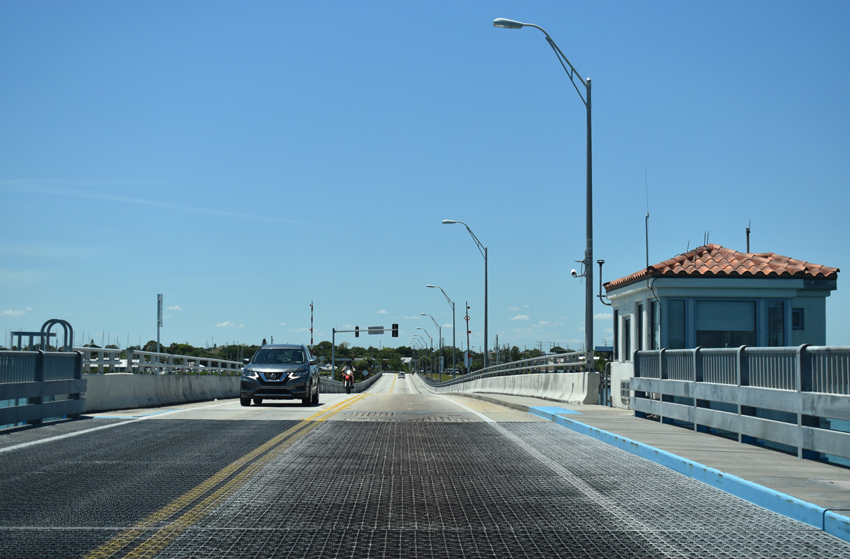
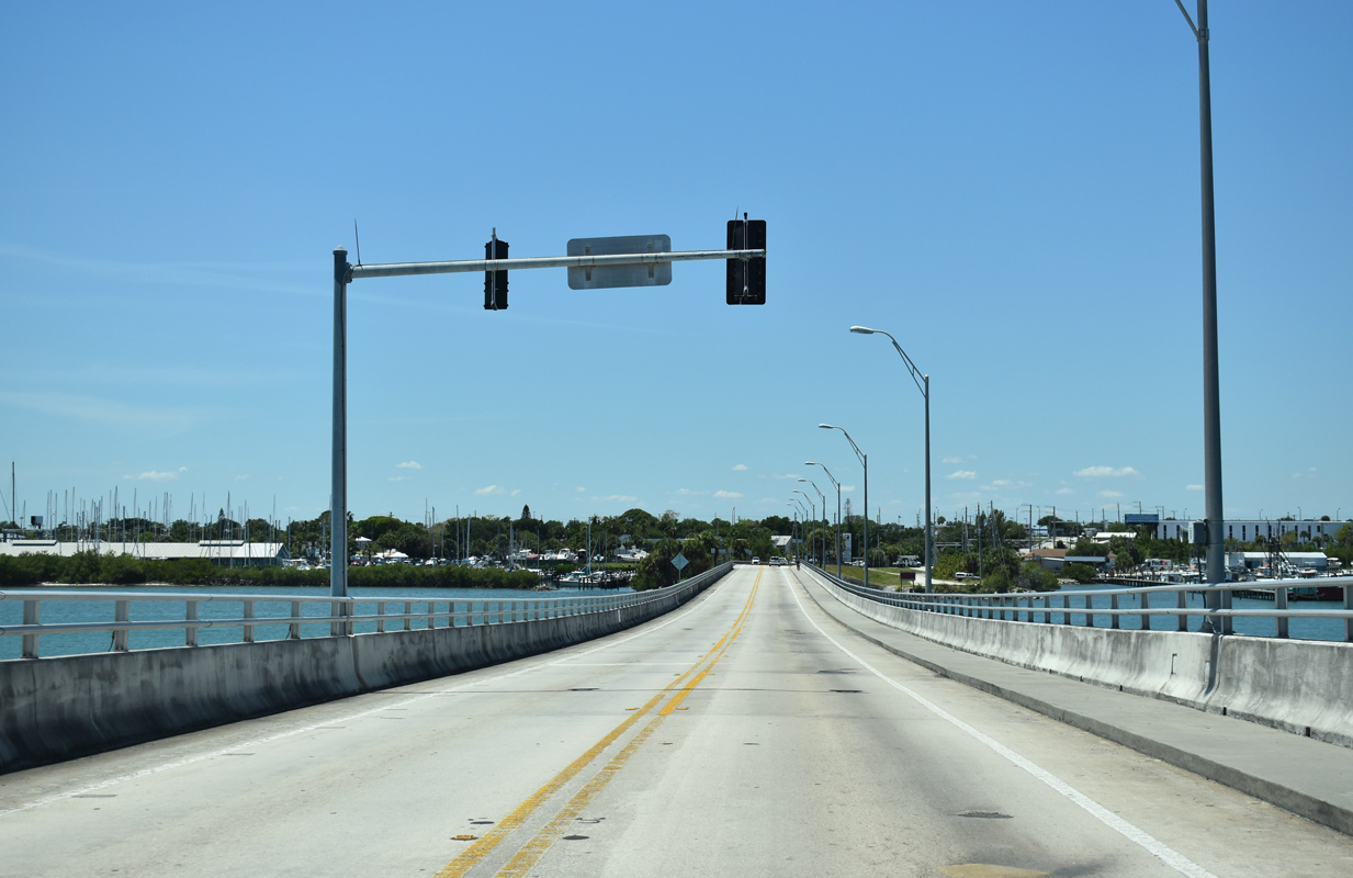
| Built in 1963, a bascule bridge spans the Indian River along SR A1A (North Causeway) into Fort Pierce. The 2,054 foot long span crosses the Intracoastal Waterway with a 23 foot vertical clearance.1 04/24/19 |
|
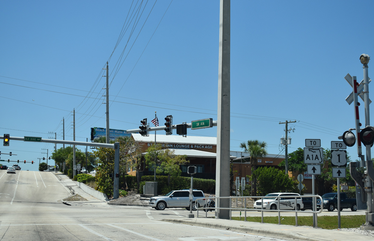
| SR A1A intersects Old Dixie Highway (CR 605) just beyond the Indian River Bridge. Unmarked here, CR 605 parallels the Florida East Coast (FEC) Railway along a 12.83 mile course south to U.S. 1 at Avenue M nearby and north to Indro and SR 60 in Vero Beach. 04/24/19 |
|
| SR A1A (North Causeway) rises from Old Dixie Highway to meet U.S. 1 across from Taylor Creek Commons shopping center. 04/24/19 |
|
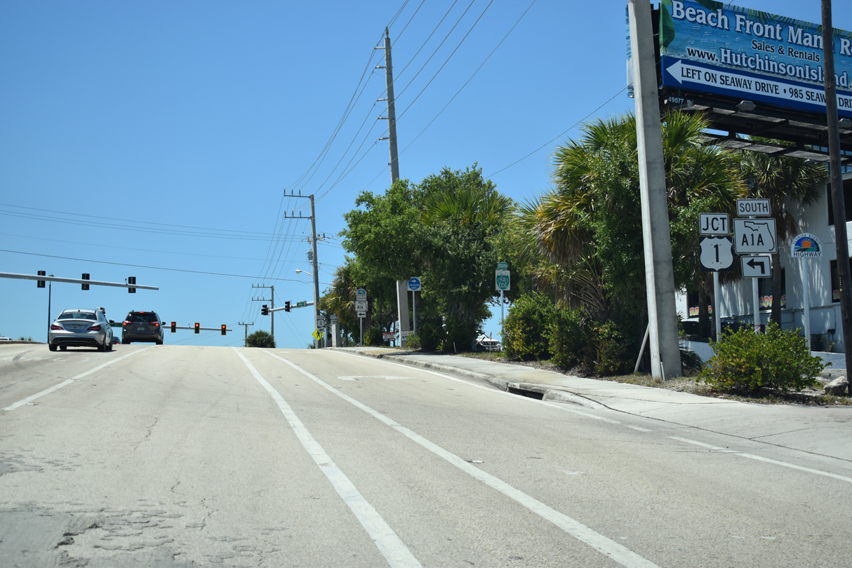
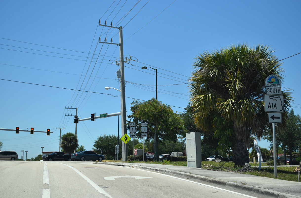
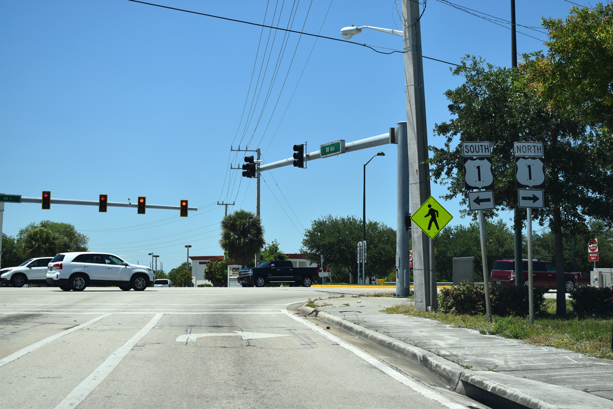
| The SR A1A branch along North Causeway ties into U.S. 1, 1.1 mile north of the SR A1A segment along Seaway Drive. 04/24/19 |
|
| U.S. 1 travels north to the Town of St. Lucie Village and south to Downtown Fort Pierce. 04/24/19 |
Page Updated 10-18-2019.