The business route for Interstate 5 through Red Bluff loops 4.6 miles west from the freeway along Main Street (old U.S. 99) to the city center. The route runs north from Exit 647 to a wye interchange at Exit 651.
|
| Business Loop I-5 (Main Street) combines with SR 36 north from Oak Street in Downtown Red Bluff. SR 36 is a significant route that links the North Coast and U.S. 101 with the Northern Sierra region and U.S. 395. SR 99 formerly overlapped with SR 36 for 2.7 miles west to end here. July 1999 |
|
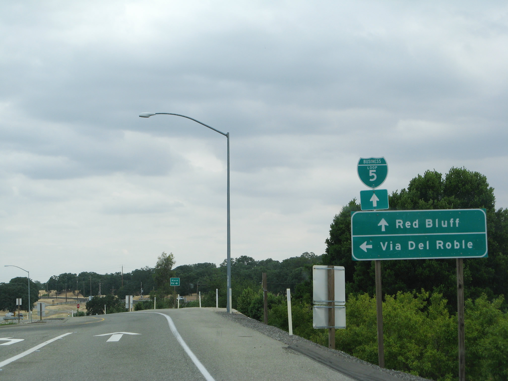
| Exit 651 partitions from the southbound mainline of I-5 as Business Loop I-5. A left turn connects with the northbound ramp and Via Del Roble, a local residential street. 05/26/08 |
|
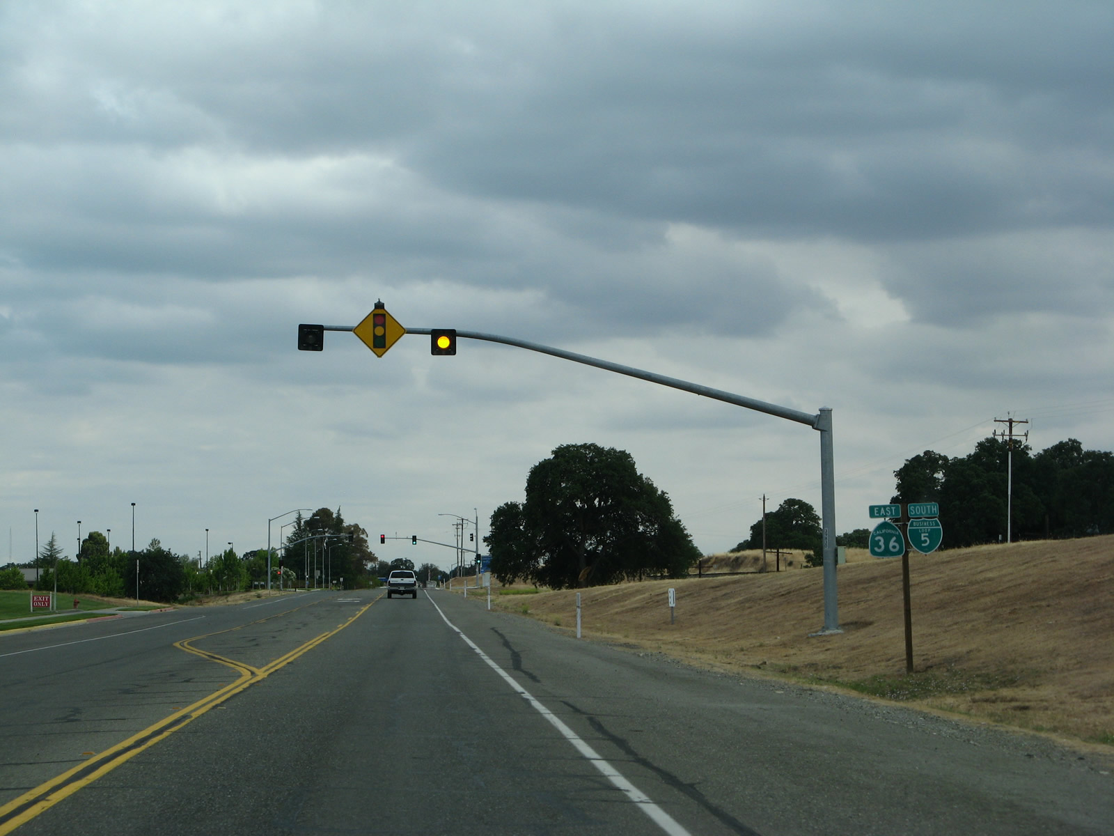
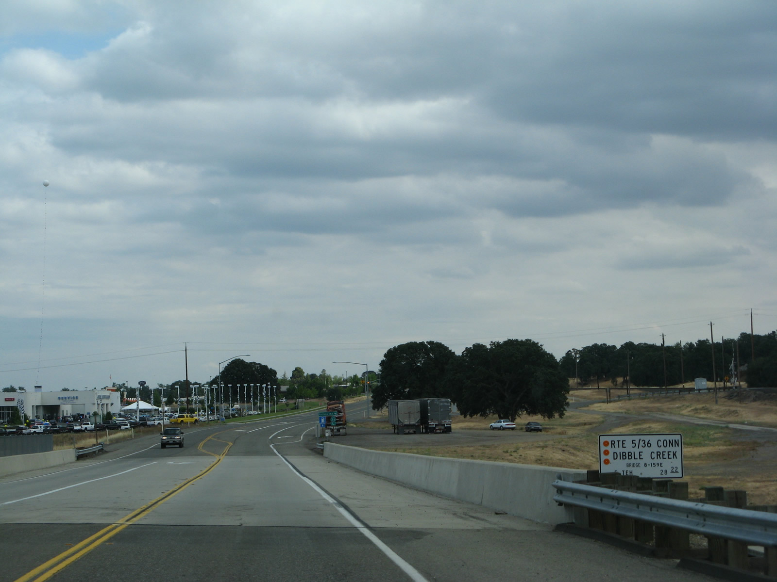
| Business Loop I-5 is state maintained along Main Street south from Exit 651 to the merge with SR 36. A bridge identification sign at Dibble Creek references the route as the Route 5/36 Connector. 05/26/08 |
|
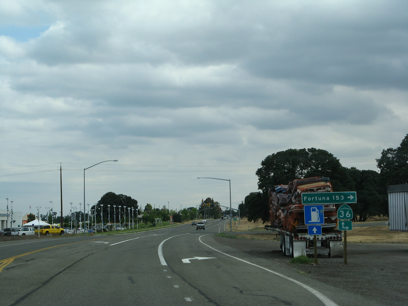
| SR 36 (Beegum Road) travels 136 miles along a winding course east from U.S. 101 and Fortuna to city of Red Bluff. 05/26/08 |
|
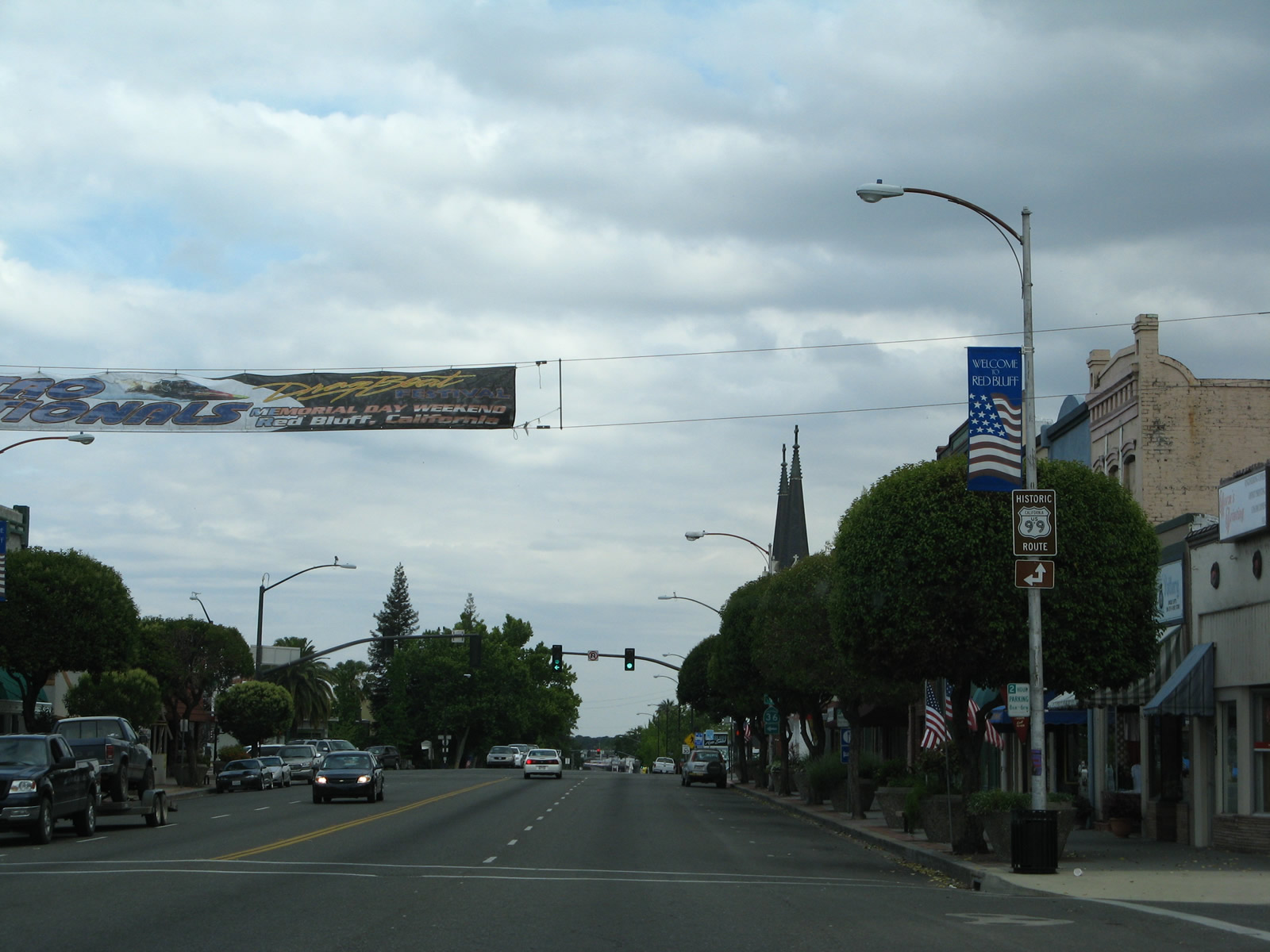
| Main Street (old U.S. 99) leads both Business Loop I-5 and SR 36 south 1.6 miles into Downtown Red Bluff. 05/26/08 |
|
| Confirming markers for both Business Loop I-5 & SR 36 appear after their merge and ahead of a signalized entrance to a big box store. 05/26/08 |
|
| Tehama County A-7 stems west from Main Street (Historic U.S. 99) to the Tehama County government complex and Wilder Road south outside the city. 05/26/08 |
|
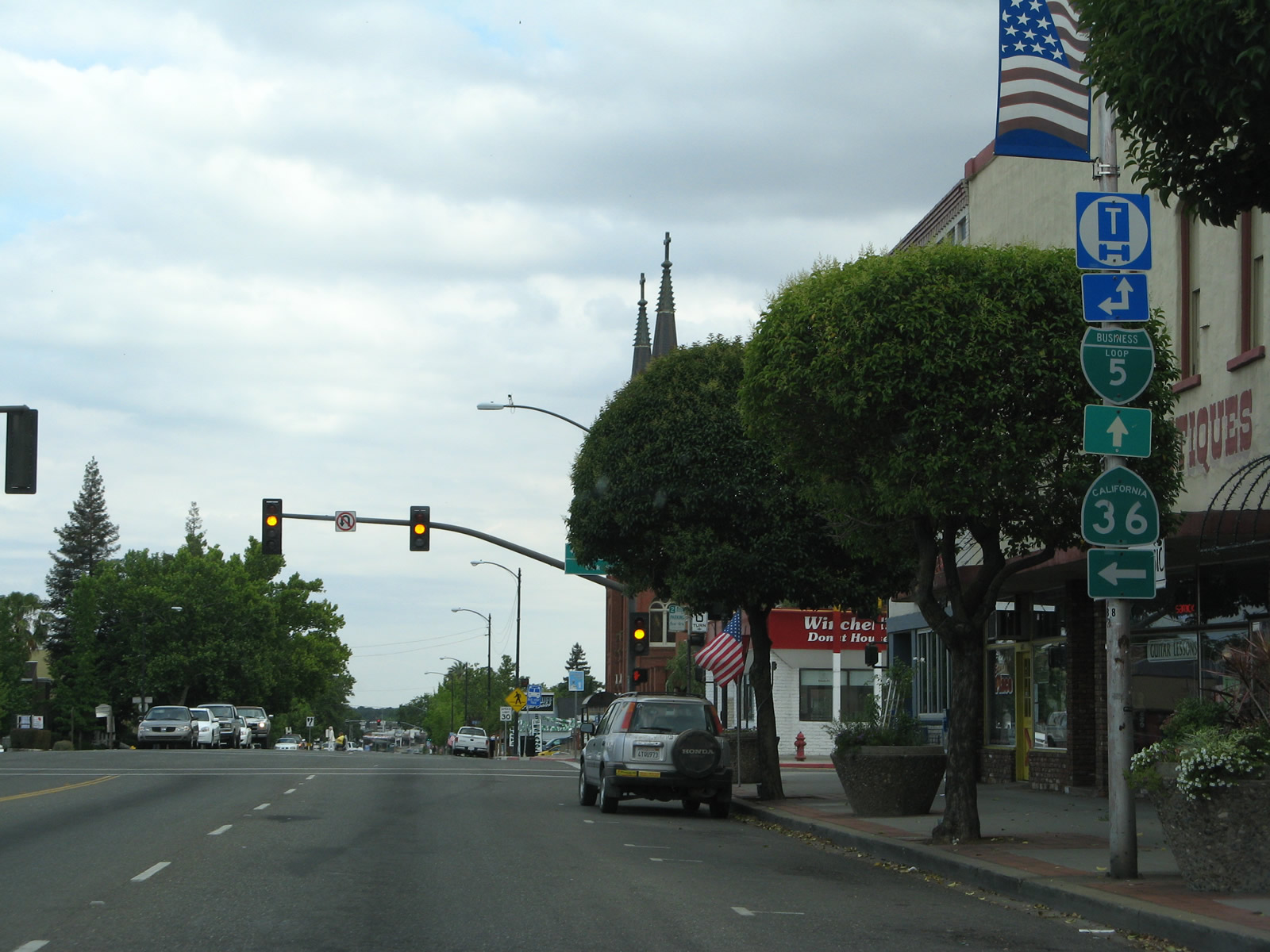
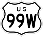
| Main Street continues two blocks south of CR A-7 (Walnut Street) to the split of SR 36 east from Business Loop I-5 south at Oak Street. The forthcoming intersection represents the historic northern split of U.S. 99E and U.S. 99W. U.S. 99E traveled southeast toward Chico and then south toward Roseville, generally along SR 99 and SR 65. U.S. 99W paralleled the I-5 corridor toward Orland and Woodland. The split routes converged at the intersection of N and 16th Streets by the state capitol building in Sacramento. 05/26/08 |
|
| SR 36 east connects Downtown Redding with both Interstate 5 and SR 99 south to Chico. The state route travels 106 miles from Red Bluff to SR 139 in Susanville. 05/26/08 |
|
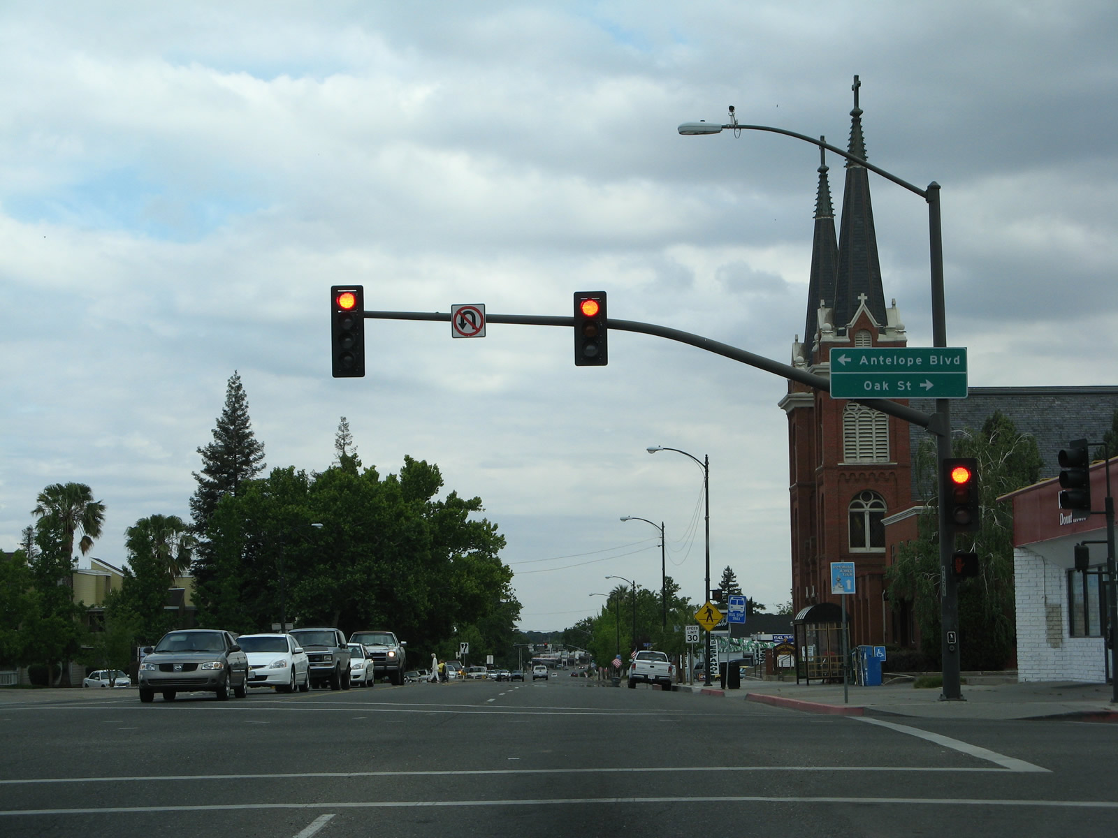
| SR 36 branches east from Main Street along Oak Street to Antelope Boulevard across the Sacramento River. 05/26/08 |
|
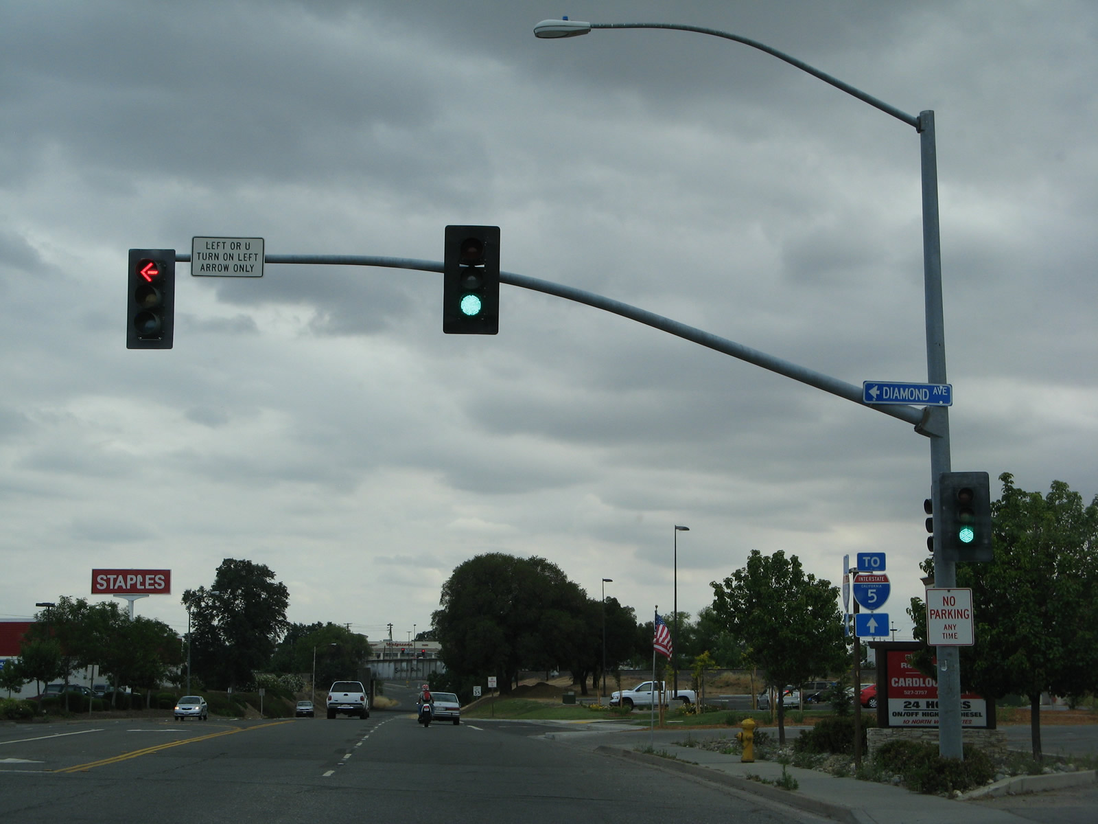
| South of Reeds Creek, Business Loop I-5 (Main Street) expands into a five lane commercial arterial. Diamond Avenue ties into the route from a half diamond interchange (Exit 647B) with I-5 nearby. 05/26/08 |
|
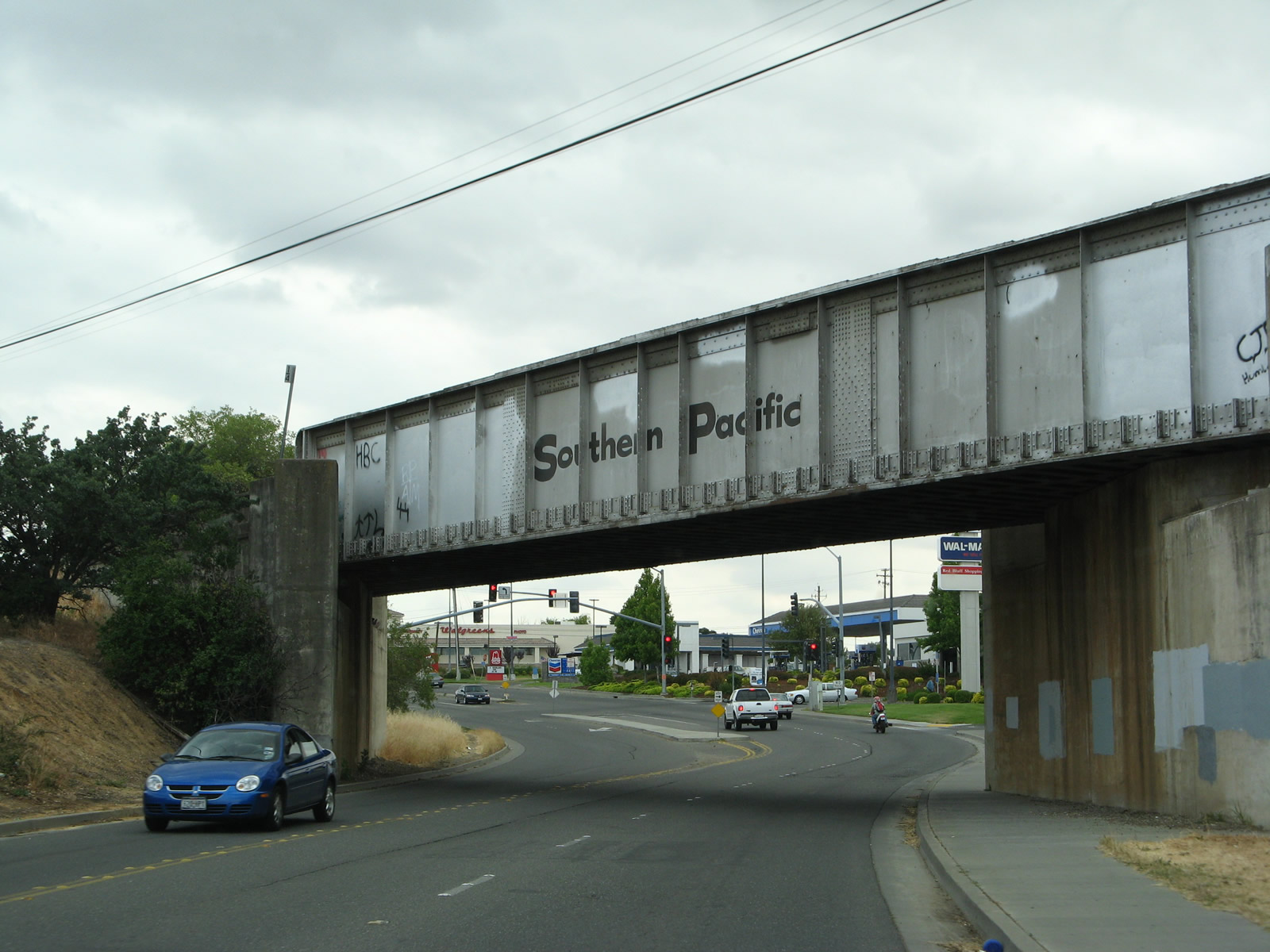
| Main Street (Historic U.S. 99W) narrows below a Union Pacific Railroad underpass south of Diamond Avenue. 05/26/08 |
|
| A final Business Loop I-5 shield was posted after the turnoff for Montgomery Road. The assembly was taken down during road construction in 2015. 05/26/08 |
|
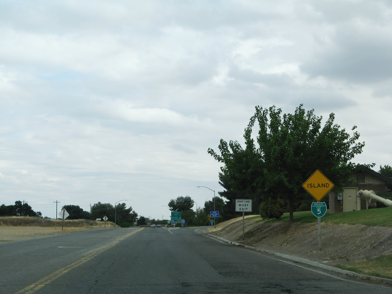
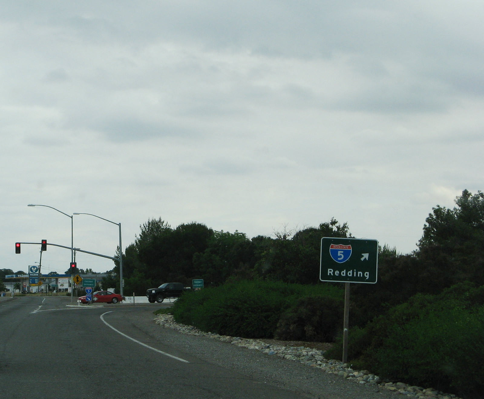
| Entering the folded diamond interchange with Interstate 5 along Main Street south. Road 99W extends south from here as Tehama County A-8. 05/26/08 |
|
| Interstate 5 leads 130 miles from the south end of the Red Bluff business loop to Sacramento. 05/26/08 |
|
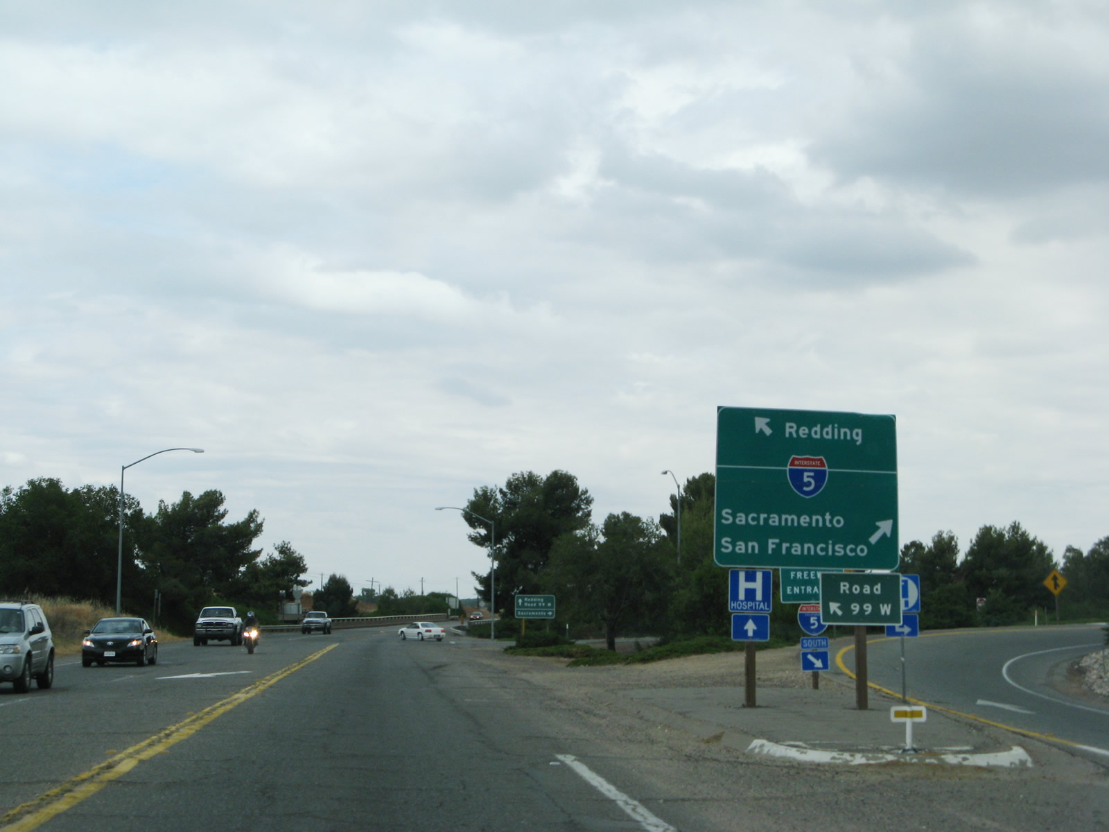
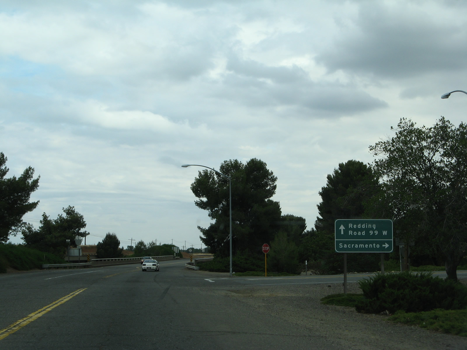
| Main Street / Road 99W spans Interstate 5 ahead of the loop ramp for the freeway north to Redding and Portland, Oregon. 05/26/08 |
|
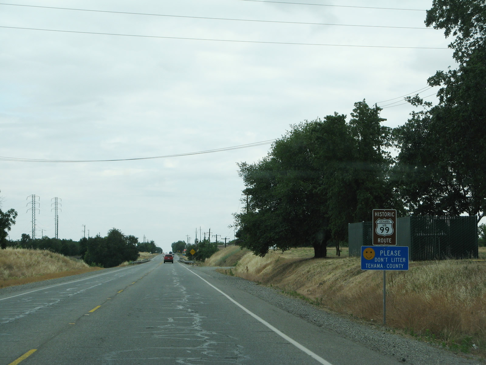
| South from Red Bluff, Road 99W is signed as Historic U.S. 99 and occasionally as Tehama County A-8 to Proberta. 05/26/08 |
Page Updated 08-18-2017.


 North
North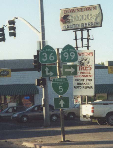
 East
East