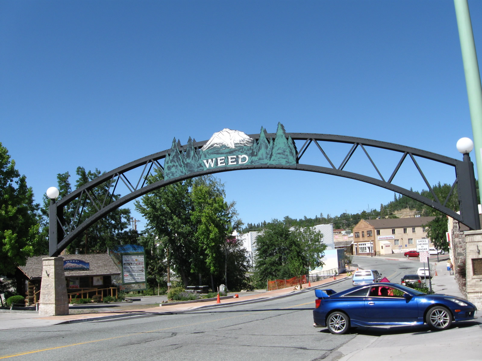
The Weed arch spans Main Street just east of U.S. 97 & Business Loop I-5 (Weed Boulevard) into Downtown. 08/02/11
Business Loop I-5 intertwines with Interstate 5 northward from Exit 745 with Vista Drive to Exit 748. The 2.9 mile long route coincides with U.S. 97 (South Weed Boulevard) from Exit 747 near the College of the Siskiyous northward into Weed. California State Route 265 (N Weed Boulevard) runs along the 0.50 mile stretch leading west from Downtown Weed to I-5.
|
| The Weed business loop begins at the diamond interchange (Exit 745) connecting I-5 with Vista Drive and South Weed Boulevard. Vista Drive serves an array of traveler services along the east side of Interstate 5, while Weed Boulevard (Historic U.S. 99) carries the business route northward to the west. 08/02/11 |
|
| Business Loop I-5 accompanies Vista Drive west from the northbound off-ramp (Exit 745) to South Weed Boulevard. The return ramp for I-5 south to Redding departs next. 08/02/11 |
|
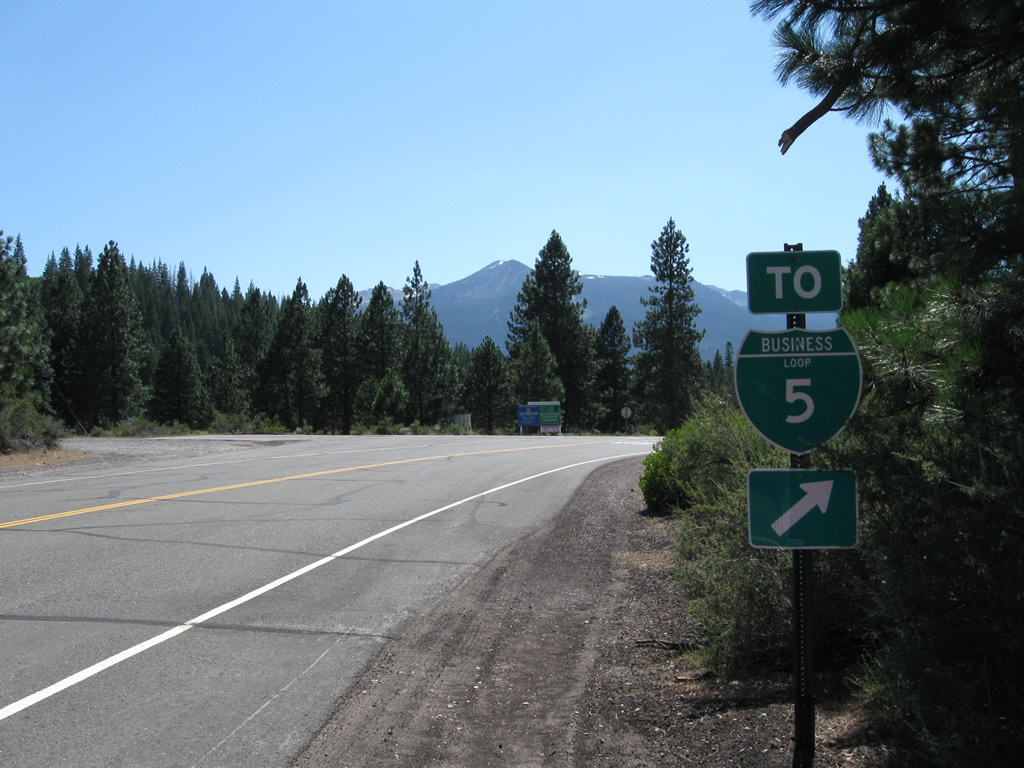
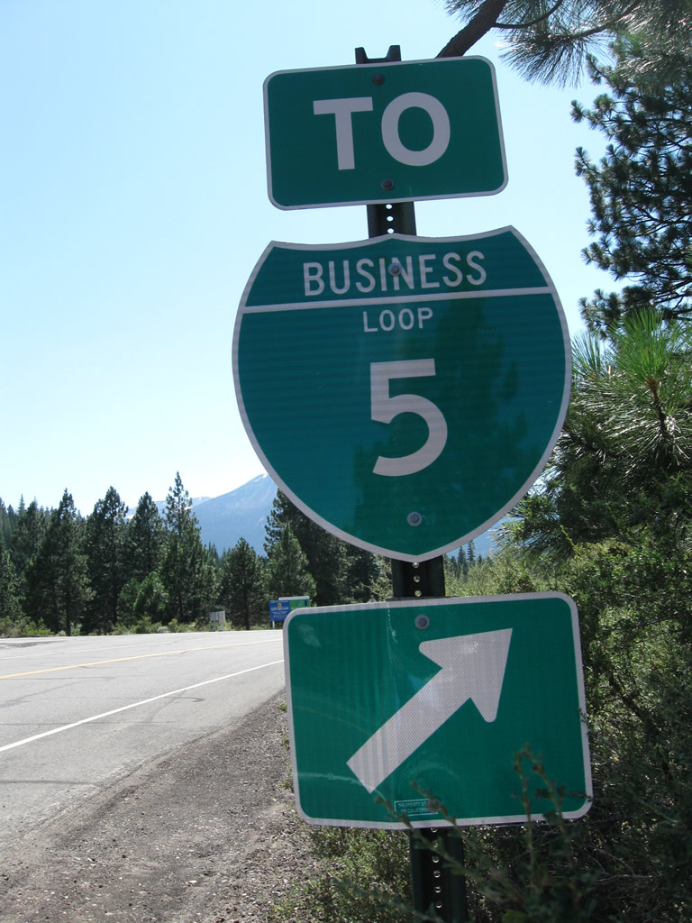
| The first Business Loop I-5 shield assembly appears at the point where traffic transitions from Vista Drive west to northbound South Weed Boulevard. 08/02/11 |
|
| South Weed Boulevard stems north from Vista Drive west and Mountain View Drive along former U.S. 99. 08/02/11 |
|
| Heading north along Weed Boulevard by the College of the Siskiyous, Business Loop I-5 approaches a modified diamond interchange with Interstate 5 at College Avenue west. The exchange also represents the south end of U.S. 97, which is unmarked here. 03/31/05 |
|
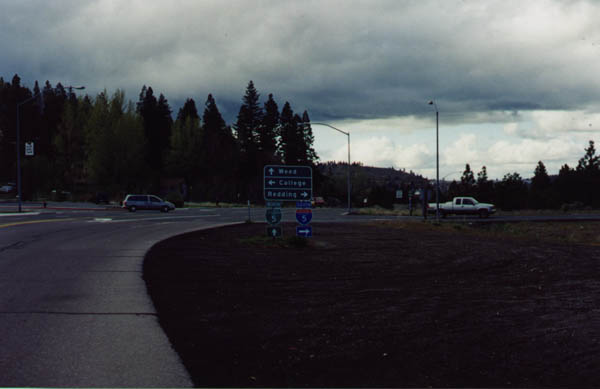
| The previous sign assembly along Weed Boulevard north at College Avenue and I-5 south included a Business Loop I-5 shield and the simplified choice: College or Weed? February 1999 |
|
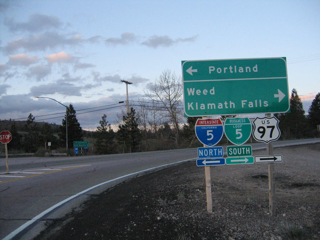
| The ensuing Business Loop I-5 shield assembly after I-5 (Exit 747) omits U.S. 97, even though the two routes overlap northward to Downtown Weed. 03/31/05 |
|
| A welcome sign for Weed follows along U.S. 97 & Business Loop I-5 (Weed Boulevard) north. Home to 2,967 people as of the 2010 Census, Weed was incorporated as a general law city on January 25, 1961. Weed consists of 4.8 square miles of area and sits at an elevation of 3,467 feet. 08/02/11 |
|
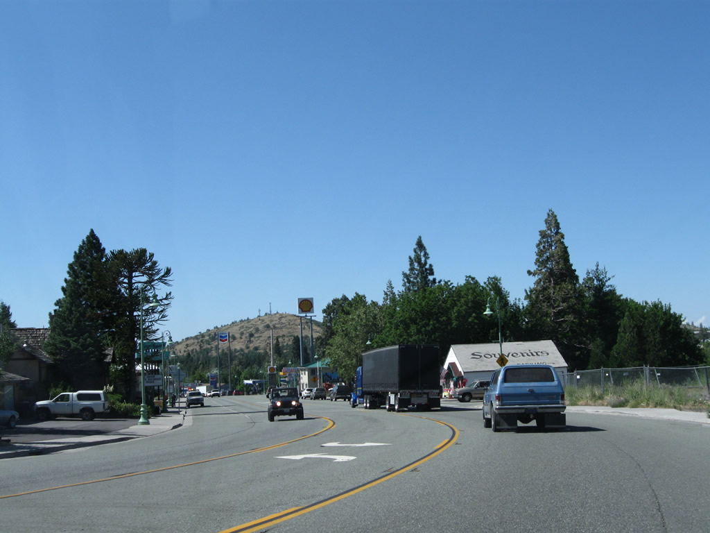
| Weed Boulevard leads north along a business strip providing most motorists services after Boles Street. 03/31/05 |
|
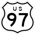
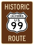
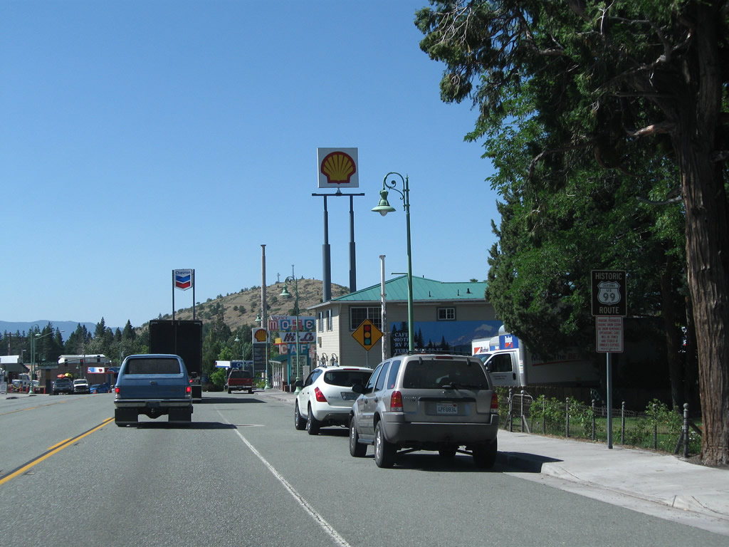
| A Historic U.S. 99 trailblazer stands along Weed Boulevard north after Boles Street. For those heading north along U.S. 97, now is the time to get food or gas, as options northeast to the Oregon state line are in short supply. 08/02/11 |
|
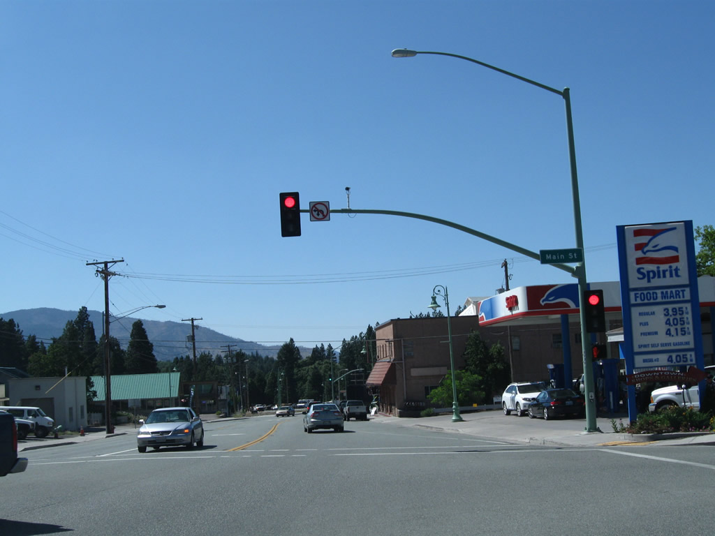
| Main Street angles northeast from Business Loop I-5 & U.S. 97 (Weed Boulevard) into Downtown Weed. Main Street and Alamo Avenue represent the 1940s alignment of U.S. 97 through the city. 08/02/11 |
|
| U.S. 97 north and Business Loop I-5 & Historic U.S. 99 part ways at the succeeding northbound signal for Weed Boulevard west. This intersection was realigned so that U.S. 97 is the through roadway. 08/02/11 |
|
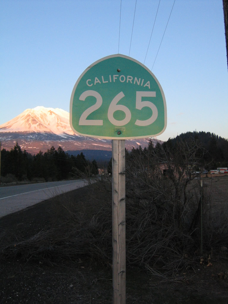
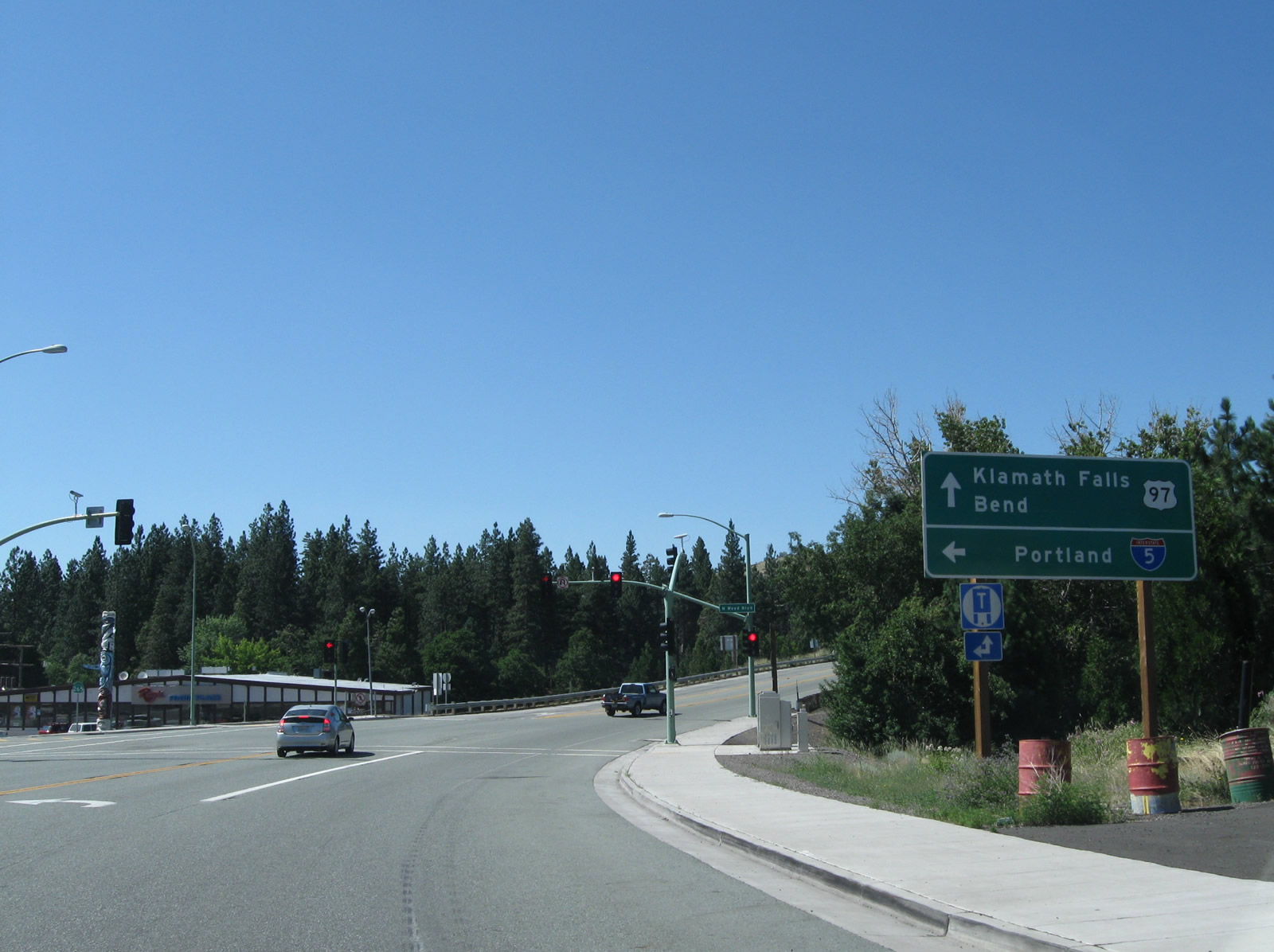
| Historical look at wye intersection where U.S. 97 split from Business Loop I-5 north toward Klamath Falls and Bend, Oregon. SR 265 overlays the rest of the business route back to I-5 at Exit 748. February 1999 |
|
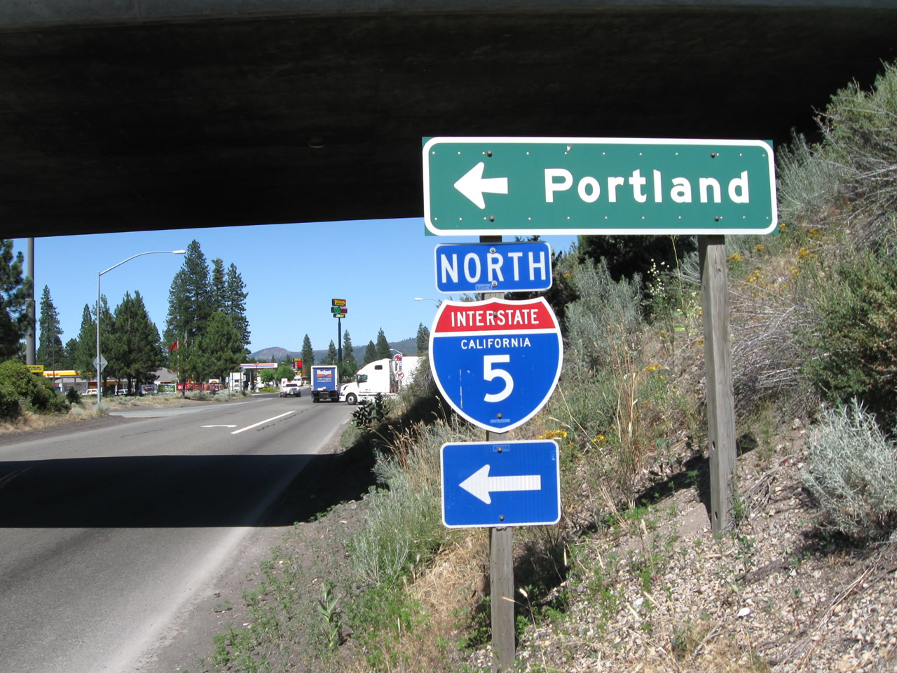
| N Weed Boulevard (SR 265/Business Loop I-5) north defaults onto the northbound entrance ramp for I-5 to Medford and Portland, Oregon. The state route concludes at the southbound on-ramp across from Chaparral Drive to the left. Old U.S. 99 extends along Edgewood Road to the north. 04/01/05 |
|
| Business Loop I-5 and SR 265 originate from the southbound off-ramp (Exit 748) from Interstate 5 to N Weed Boulevard. The two routes pass under the freeway north from Chapparral Drive. February 1999 |
|
| Business Loop I-5/SR 265 turn east onto North Weed Boulevard (Historic U.S. 99) at Old Edgewood Road and the northbound on-ramp for I-5 to Yreka. 04/01/05 |
|
| A reassurance marker for SR 265 follows as North Weed Boulevard parallels I-5, the CORP (Central Oregon & Pacific) Siskiyou rail line and Boles Creek east into Weed. 04/01/05 |
|
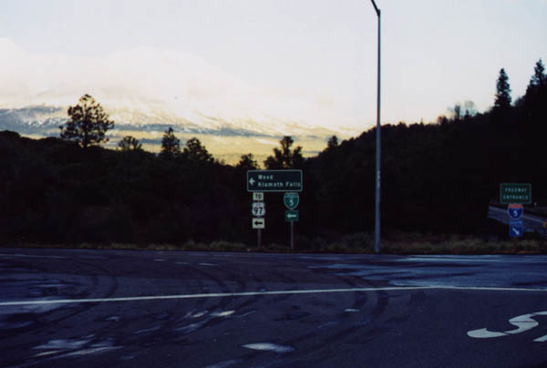
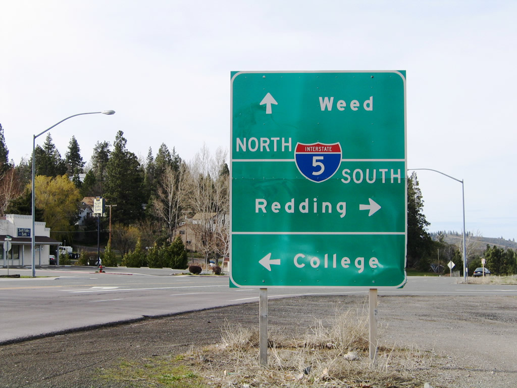
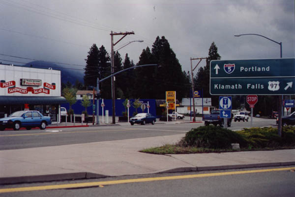
| Leaving Downtown Weed, this sign assembly directed motorists from South Weed Boulevard (Business Loop I-5 and U.S. 97) to Interstate 5 north at Exit 747. It was replaced with a new guide sign and a stand alone shield for the business route by 2012. 03/31/05 |
|
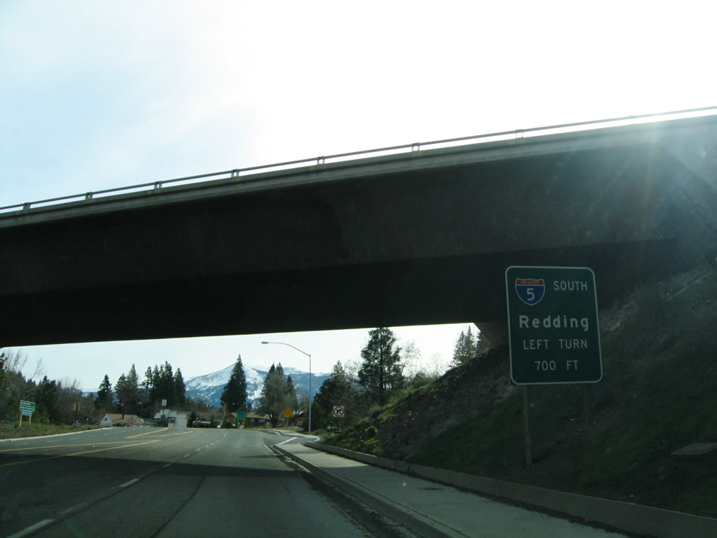
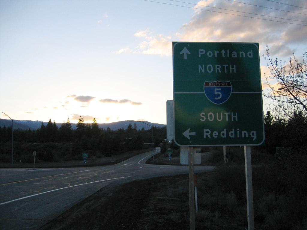
| Southbound Business Loop I-5 (Weed Boulevard) passes under Interstate 5 ahead of the on-ramp to Redding and Sacramento. Although U.S. 97 is not marked along South Weed Boulevard, it legislatively ends at I-5.
This button copy guide sign was removed by 2012. 03/31/05 |
|
| Weed Boulevard continues beyond I-5 and the south end of Business Loop I-5 and U.S. 97 to Vista Drive. College Street extends west to the College of the Siskiyous. 03/31/05 |
|
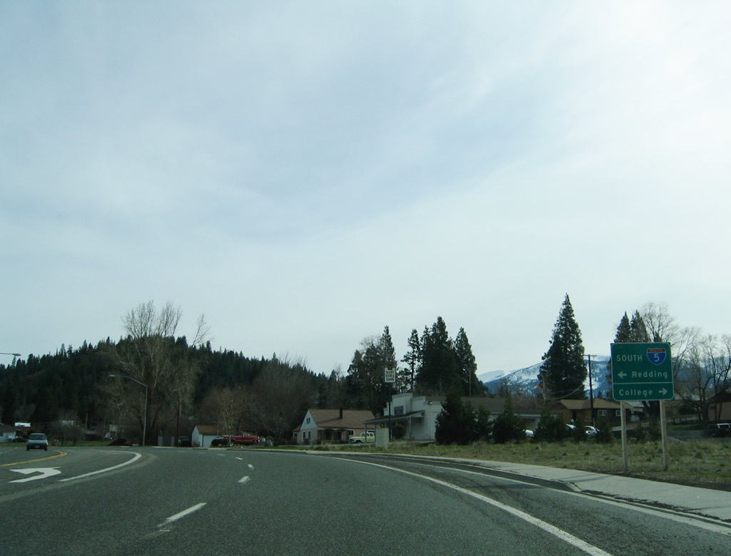
| Business Loop I-5 curves from South Weed Boulevard onto eastbound Vista Drive for the final distance to Interstate 5. 08/02/11 |
|
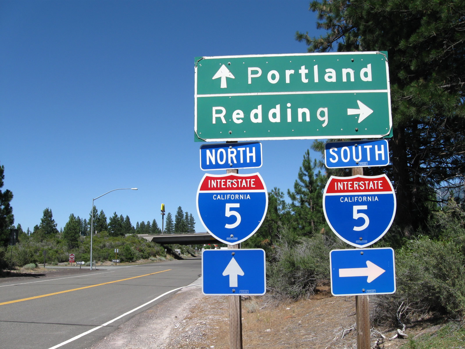
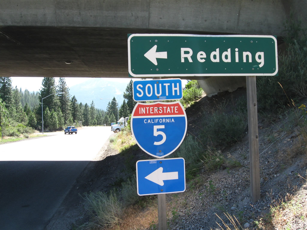
| Entering the diamond interchange with Interstate 5 along Vista Drive. I-5 leads south to Redding and Sacramento and north back through Weed en route to Grants Pass, Oregon. 08/02/11 |
|
| Gas and food are available on the east side of the Vista Drive interchange. Portland, Oregon lies 350 miles to the north along Interstate 5. 08/02/11 |
Page Updated 08-24-2017.

 North
North
 North
North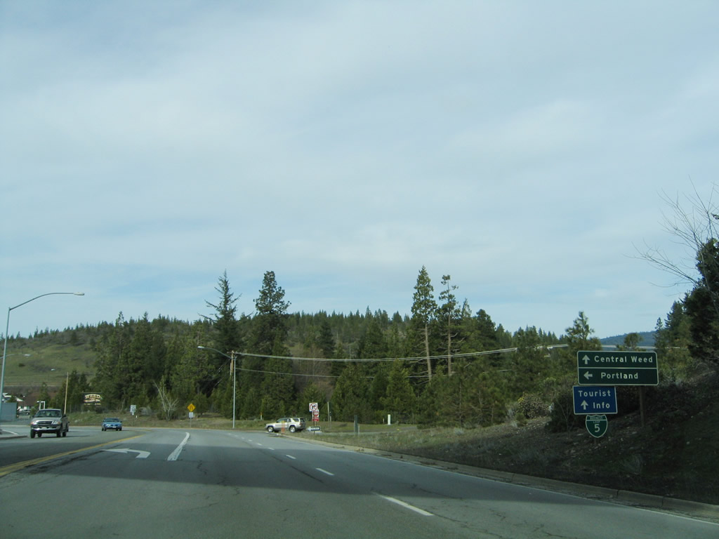

 South
South