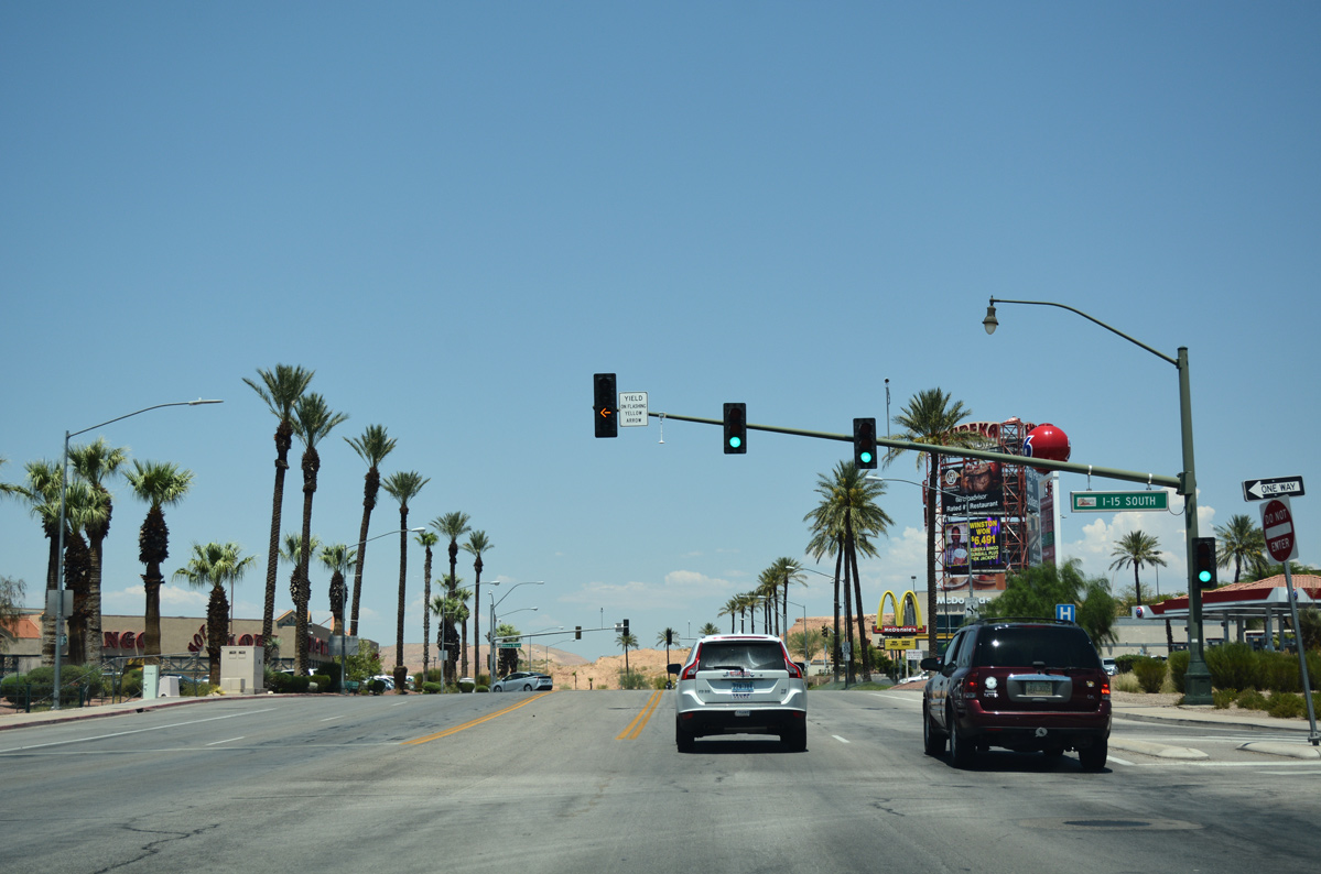
The lone business loop for Interstate 15 in Nevada is the locally maintained route that follows Mesquite Boulevard and Sandhill Boulevard between Exits 120 and 122 in the city of Mesquite. U.S. 91 previously ran along all of Mesquite Boulevard and Sandhill Boulevard north to Hillside Drive; Hillside Drive continued the highway into Arizona by a former airport. With U.S. 91 decommissioned through Nevada in 1973, the alignment through Mesquite was redesignated as an extension of Nevada 170 east to I-15. Nevada 144 replaced Nevada 170 along Mesquite Boulevard and Sandhill Boulevard in 1976. The 2.853 mile route of Nevada 144 was subsequently transferred to local maintenance in 2005.
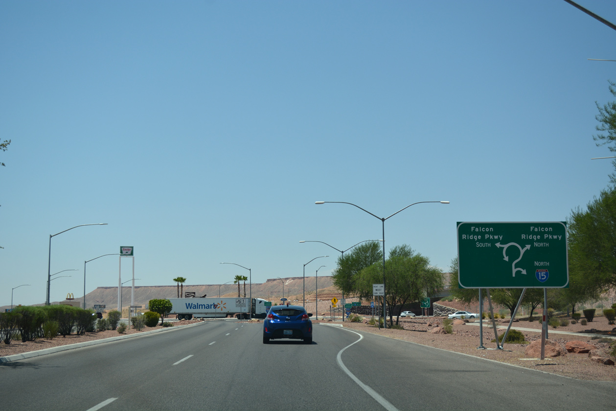
The diamond interchange at the west end of Business Loop I-15 was rebuilt in 2011-12. The $25 million project converted the exchange into a dumbbell, with roundabouts joining freeway ramps with Falcon Ridge Parkway north and south, and Mesquite Boulevard east. Additionally, Falcon Ridge Parkway was expanded to six overall lanes north to Pioneer Boulevard, and extended south to Leavitt Lane.1
|
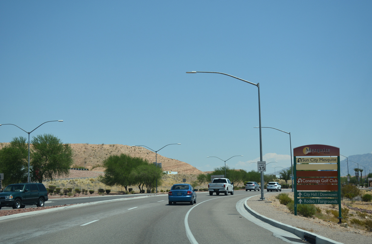
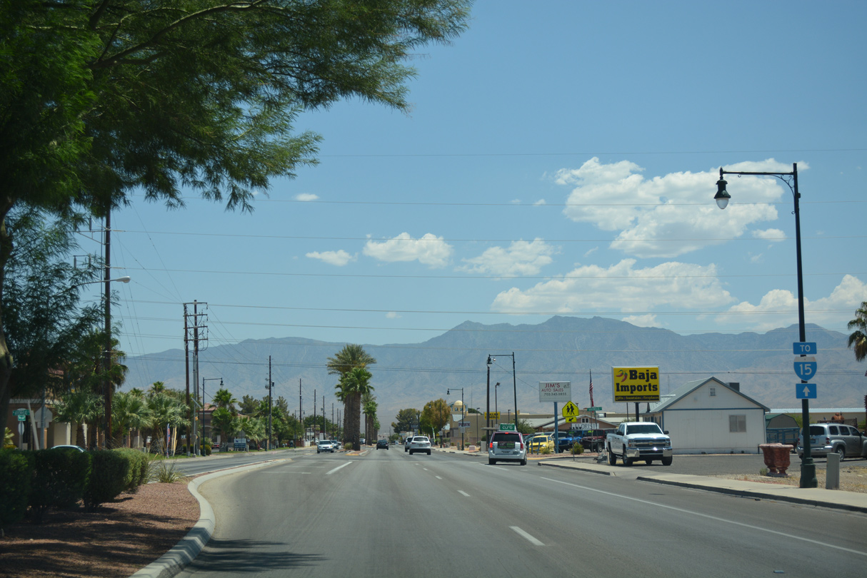
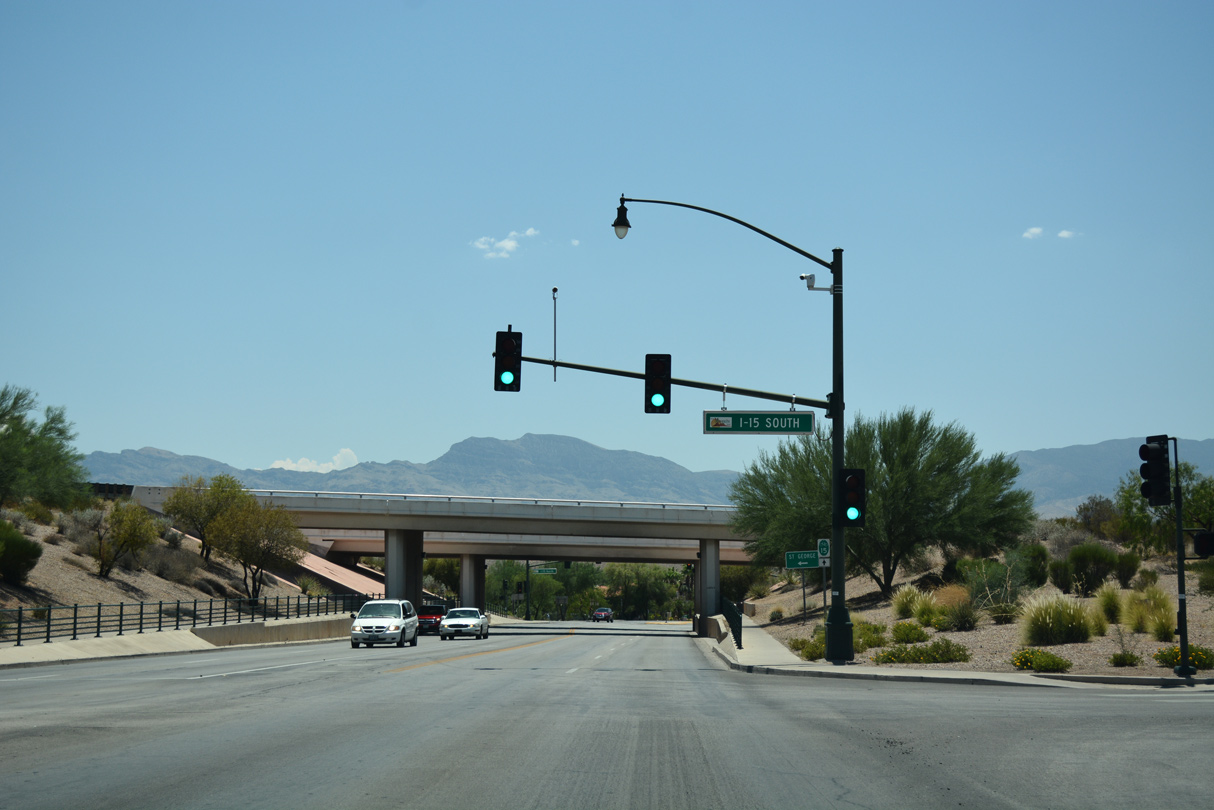
| Business Loop I-15 commences along Mesquite Boulevard east from the roundabout joining Interstate 15 with Falcon Ridge Parkway. Wayfinding signs are posted at each end for various Mesquite points of interest, including city hall. 07/15/17 |
|
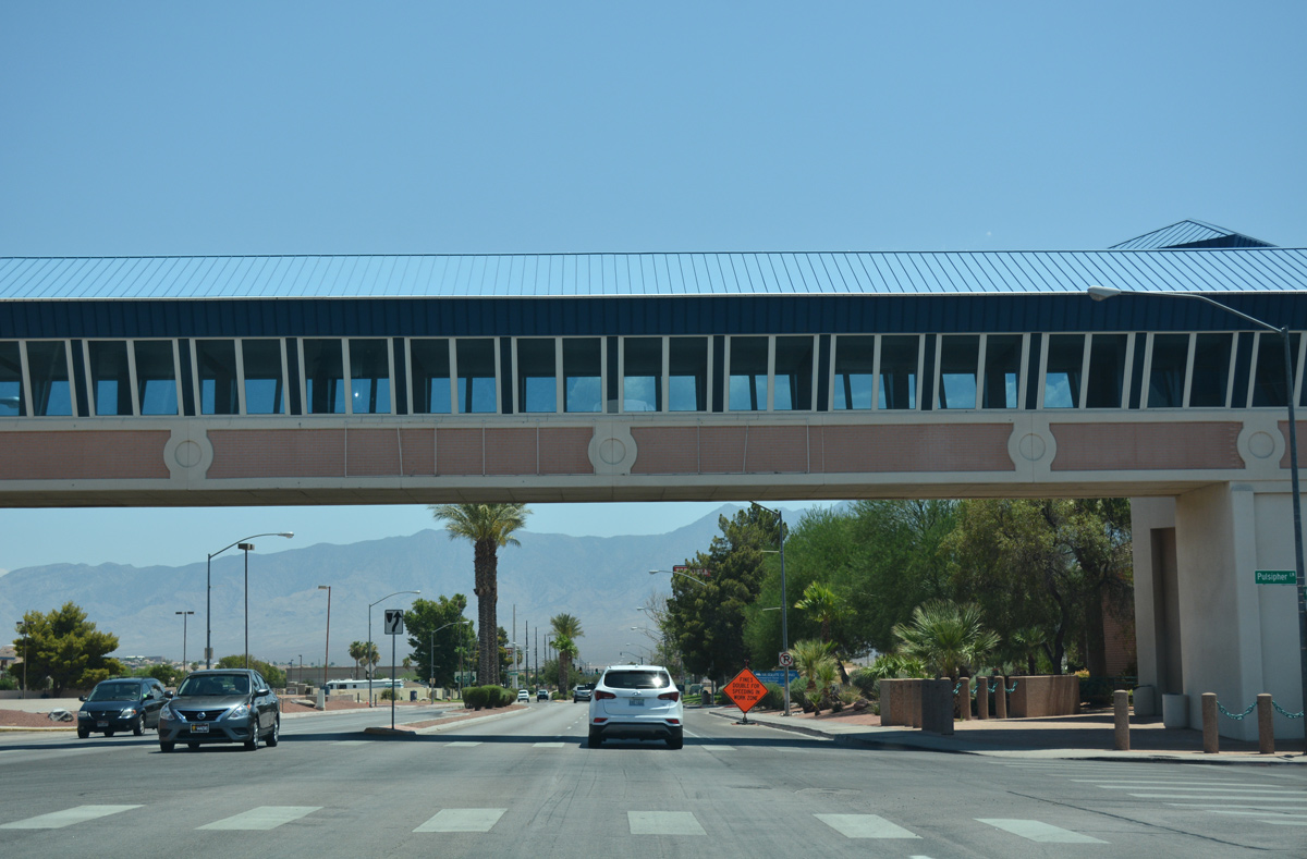
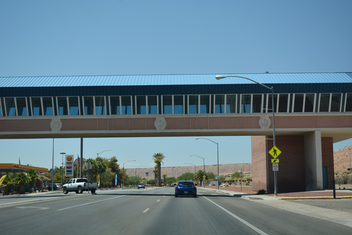
| An enclosed pedestrian bridge crosses over Mesquite Boulevard at Pulsipher Lane, connecting parking areas to the north with the CasaBlanca Resort. 07/15/17 |
|
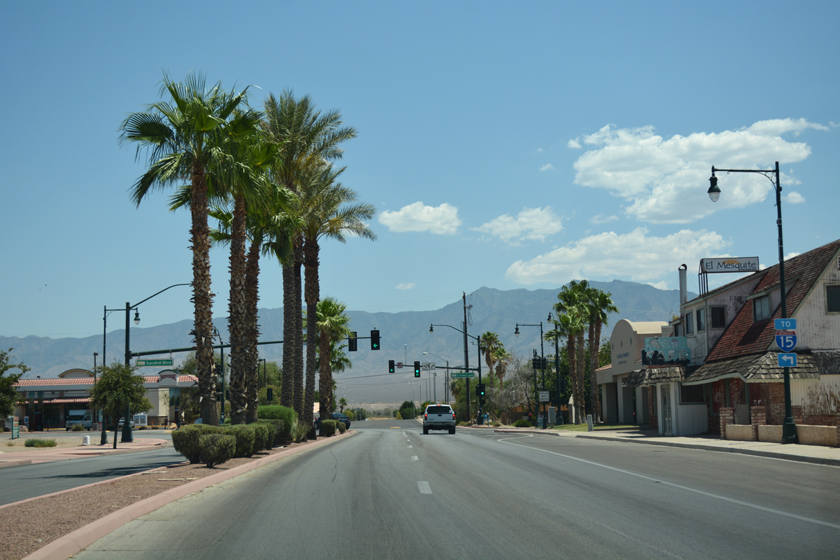
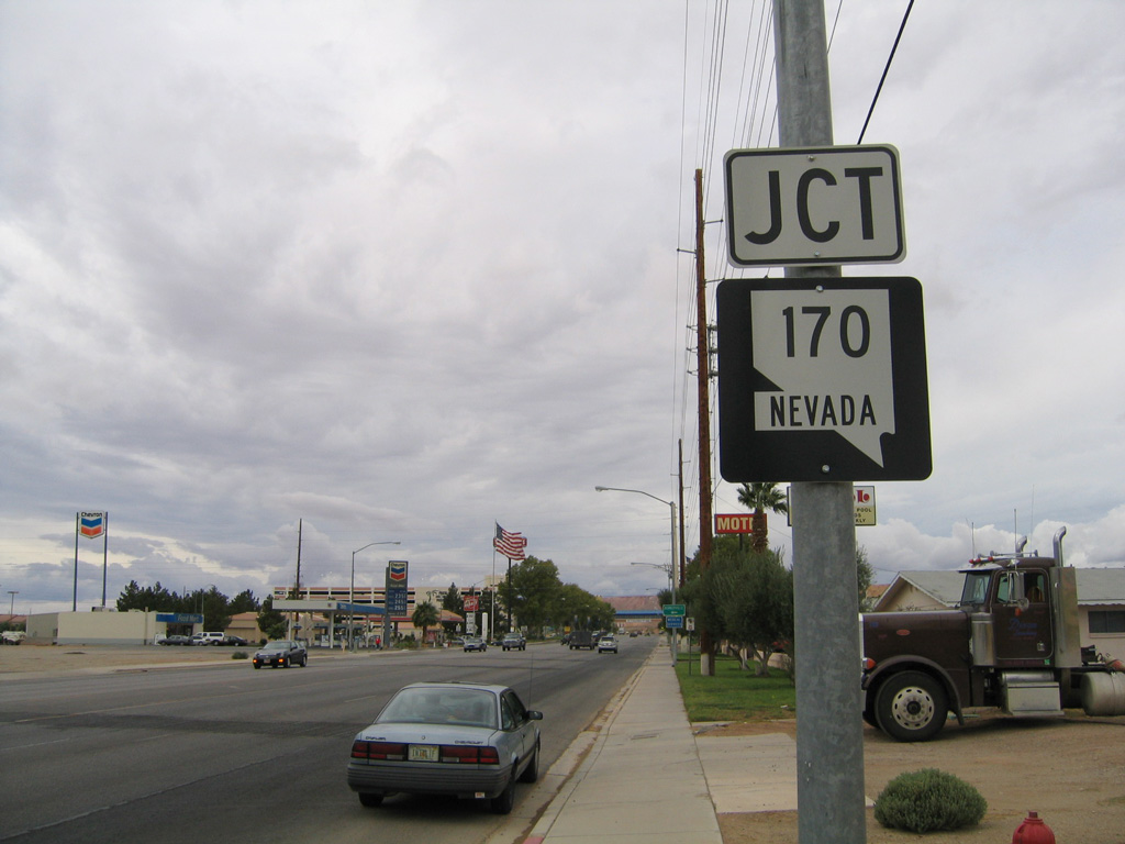
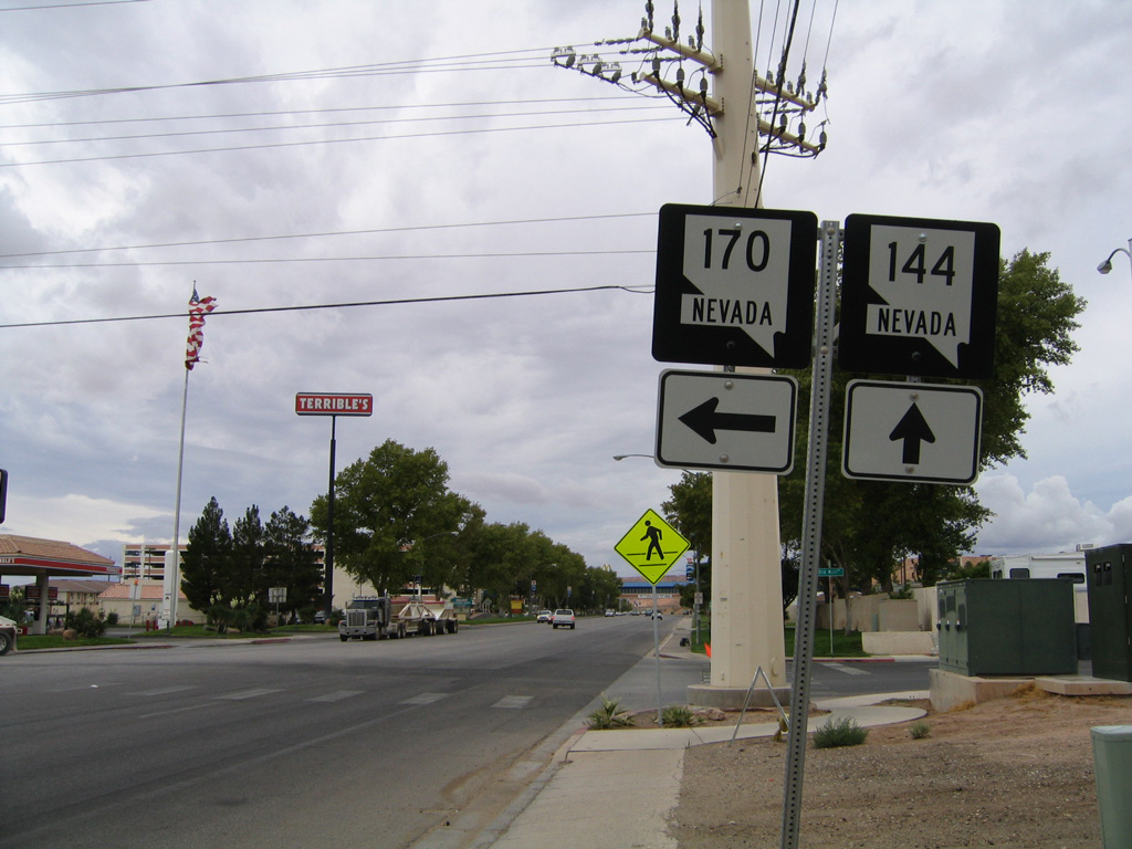
| A remnant SR 144 shield appeared at the north end of SR 170 (Riverside Road) at the Mesquite Boulevard intersection with Old Mill Road north. SR 144 was decommissioned in 2005. 07/15/17 |
|
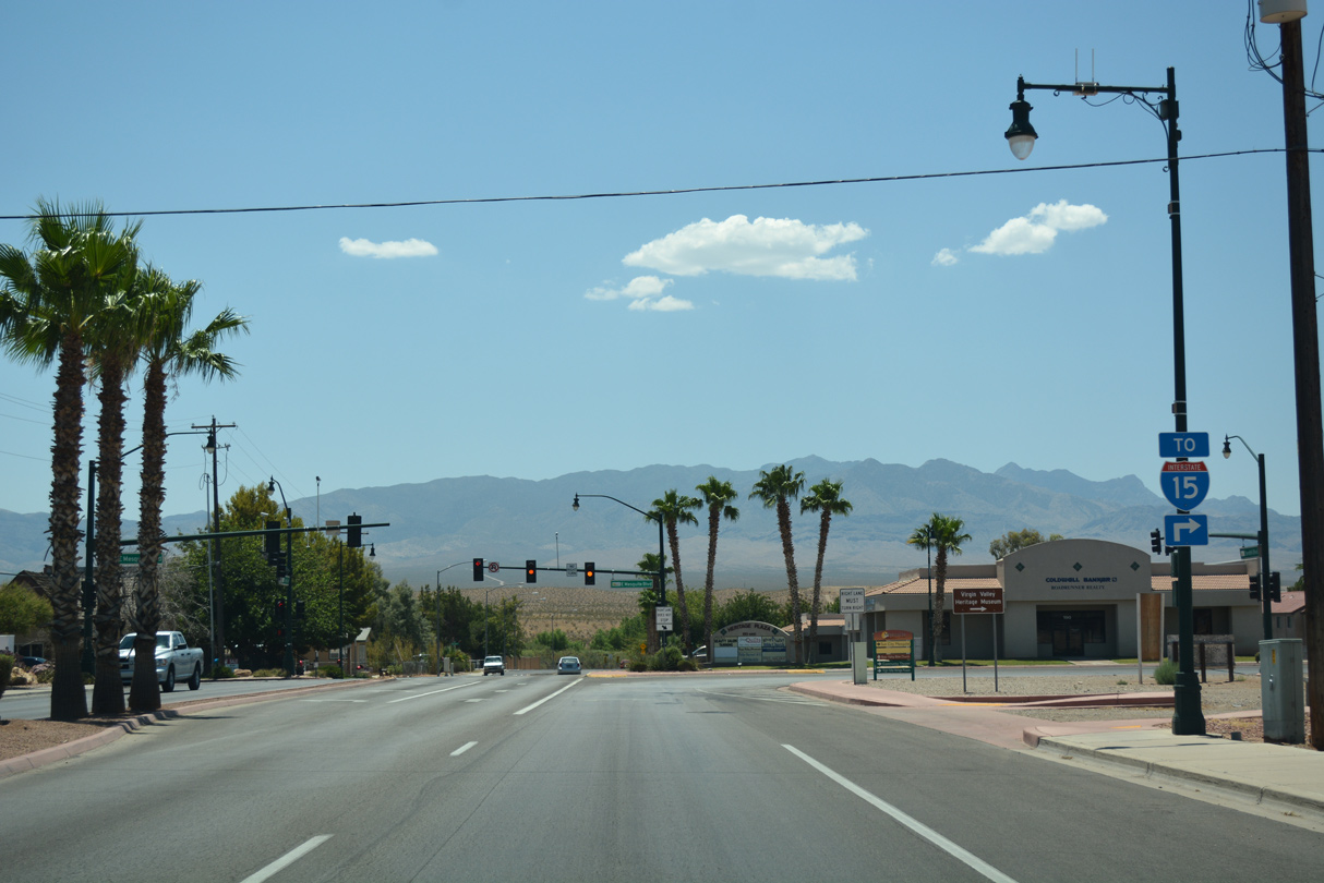
| SR 170 travels 12.3 miles southwest from Business Loop I-15 (Mesquite Boulevard) through the Virgin Valley to Bunkerville and Interstate 15 near the west Mesquite city line. 08/13/16 |
|
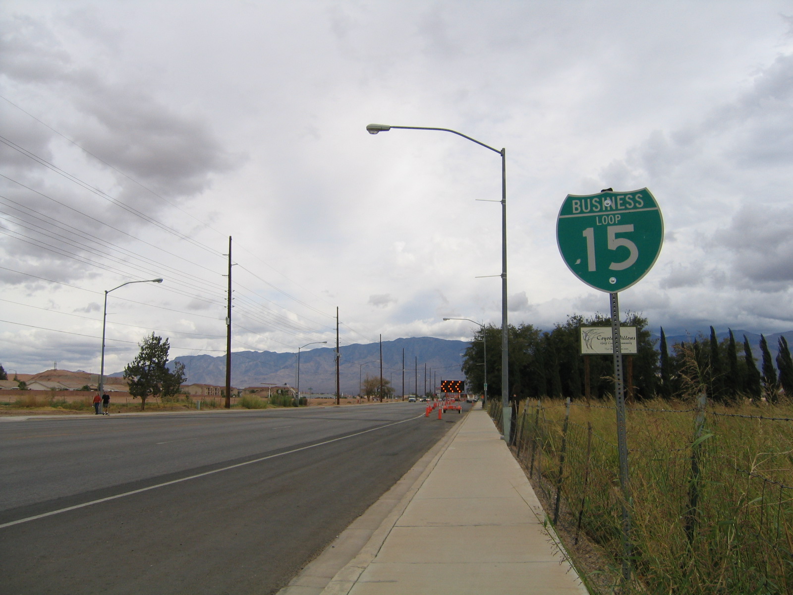
| The only confirming marker for Business Loop I-15 in Mesquite posted in either direction is this assembly east of SR 170 (Riverside Drive). 07/15/17 |
|
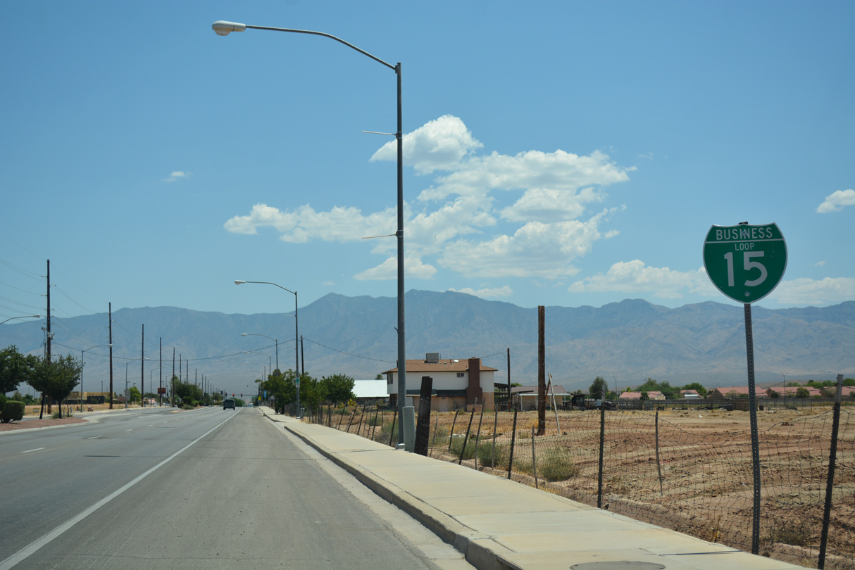
| The lone shield for Business Loop I-15 northbound prior to reconstruction of Mesquite Boulevard from a five lane boulevard to a four lane, divided parkway. 10/19/04 |
|
| Trailblazers take the place of Business Loop I-15 reassurance signage along the remainder of the loop east through Mesquite. This assembly stands at Desert Rose Way to the Desert Rose neighborhood. 07/15/17 |
|
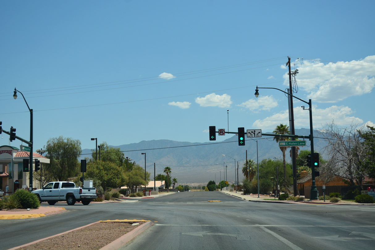
| Grapevine Road comprises a north-south through road from Hafen Lane to the Mesquite Vistas golf course community and Hardy Way north of Interstate 15. 07/15/17 |
|
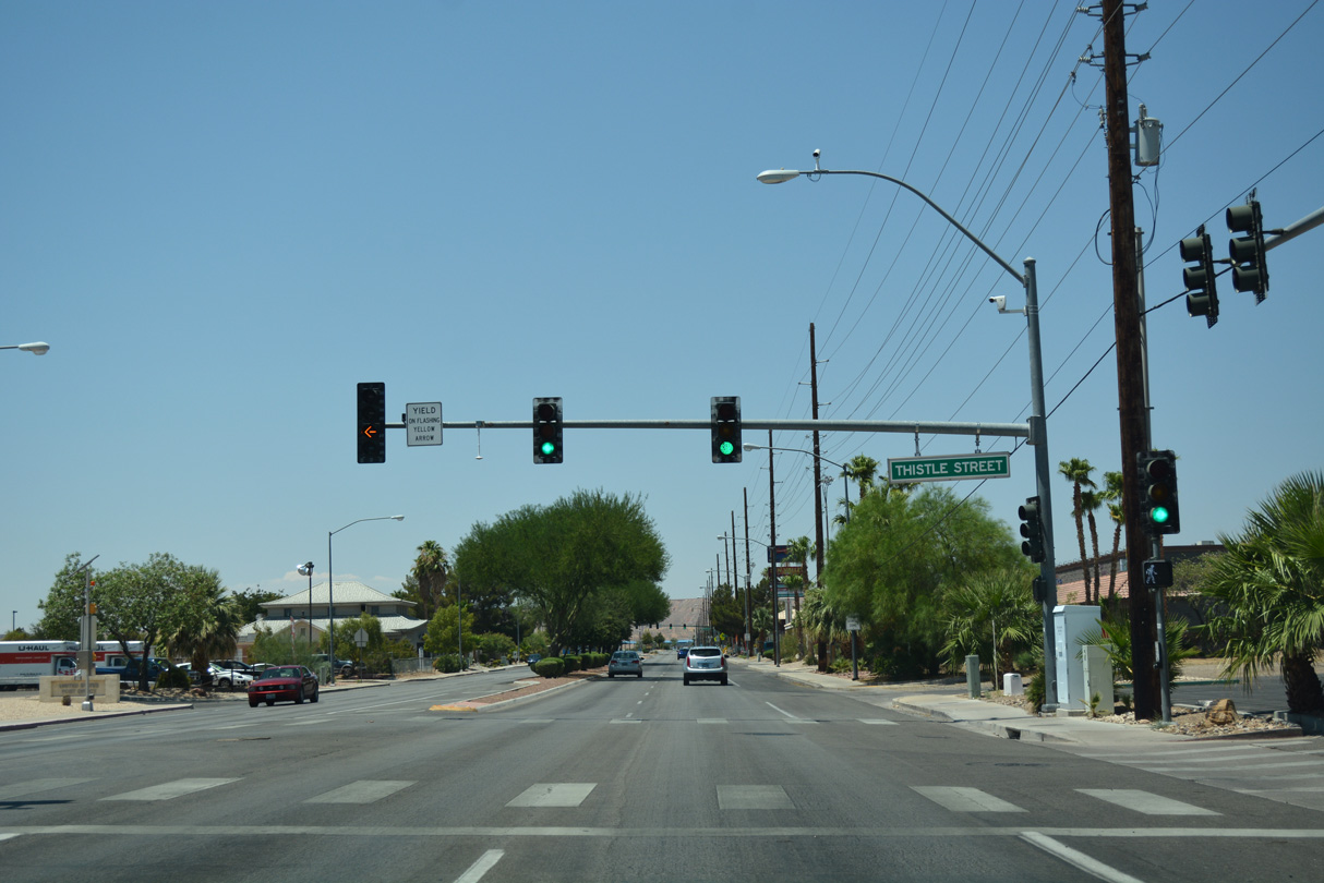
| Thistle Street stems south from Mesquite Boulevard to Hafen Lane and Hafen Lake Trailhead Park at the next eastbound signal. 07/15/17 |
|
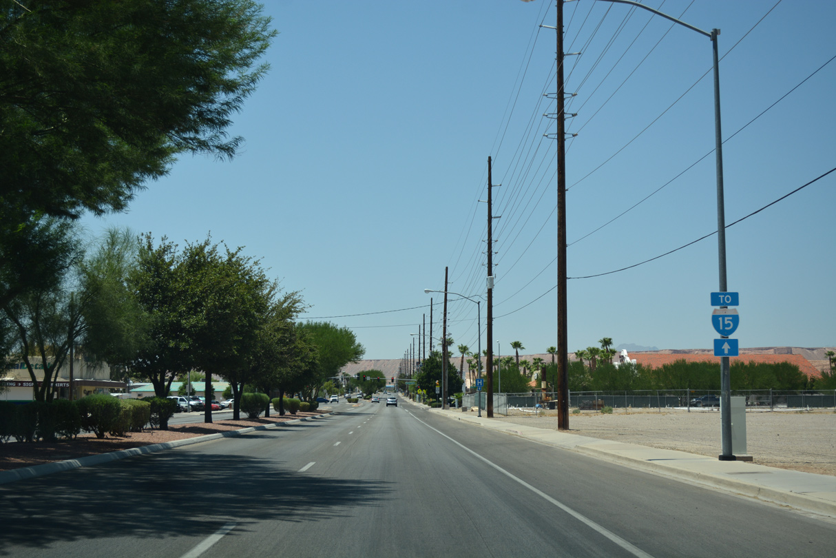
| Business Loop I-15 (Mesquite Boulevard) intersects Arrowhead Lane beyond this shield for Interstate 15. 07/15/17 |
|
| Business Loop I-15 turns north from Mesquite Boulevard onto Sandhill Boulevard at the east end of Hafen Lane. 07/15/17 |
|
| Mesquite Boulevard extends east from Business Loop I-15 and Hafen Lane to the Morning Star and Jack Hardy Estates subdivisions and Hunter Sports Park. 07/15/17 |
|
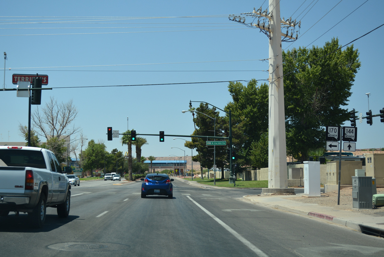
| Old Mill Road returns to Business Loop I-15 (Sandhill Boulevard) from SR 170 (Riverside Drive) by Bowler Plaza shopping center. 07/15/17 |
|
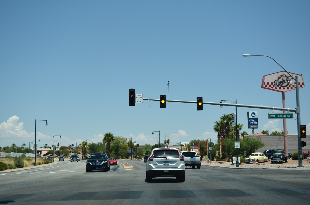
| Old U.S. 91 separates from Business Loop I-15 along Hillside Drive east to Pioneer Sports Complex, the Valley View neighborhood and Mohave County, Arizona. 07/15/17 |
|
| Sandhill Boulevard enters a diamond interchange with Interstate 15 to the immediate north of Hillside Drive. I-15 winds northeast through the scenic Virgin River Gorge to St. George, Utah. 07/15/17 |
|
| Sandhill Boulevard becomes Pioneer Boulevard northwest through the Mesquite Vistas community. Interstate 15 runs west from here to two additional interchanges over the next five miles. 07/15/17 |
|
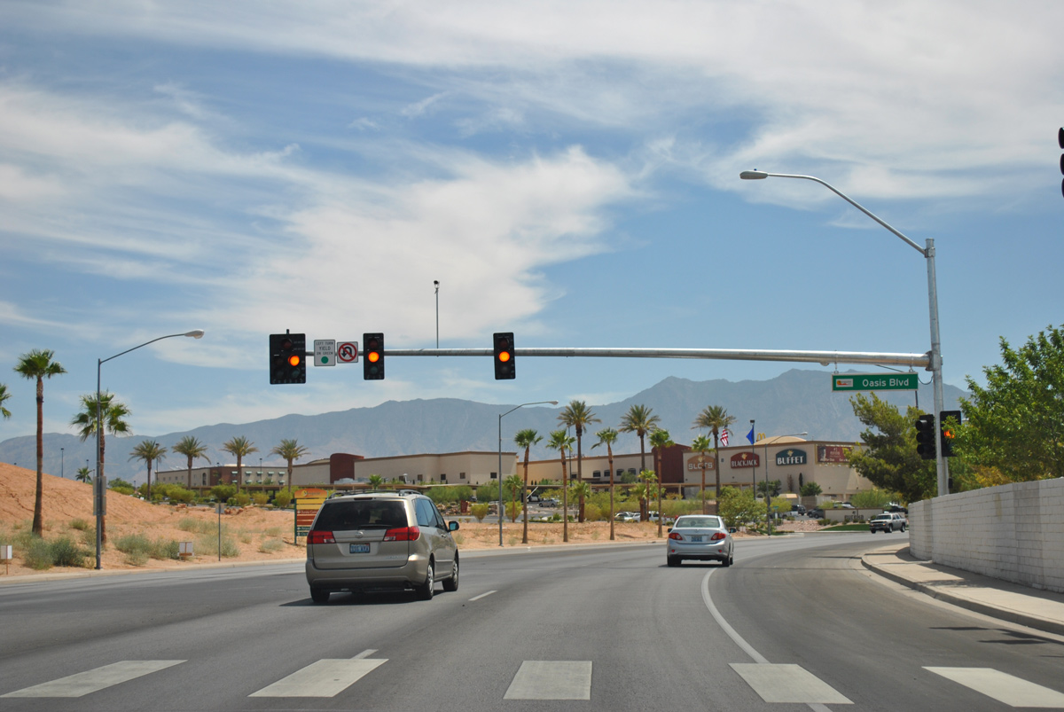
| Pioneer Boulevard winds east from Lower Flat Top Drive near I-80 at Exit 118 through the Falcon Ridge and Oasis Golf Club communities to the east end of Business Loop I-15 at Sandhill Boulevard. Oasis Boulevard ties into the arterial from Lincoln County to the north. 08/02/11 |
|
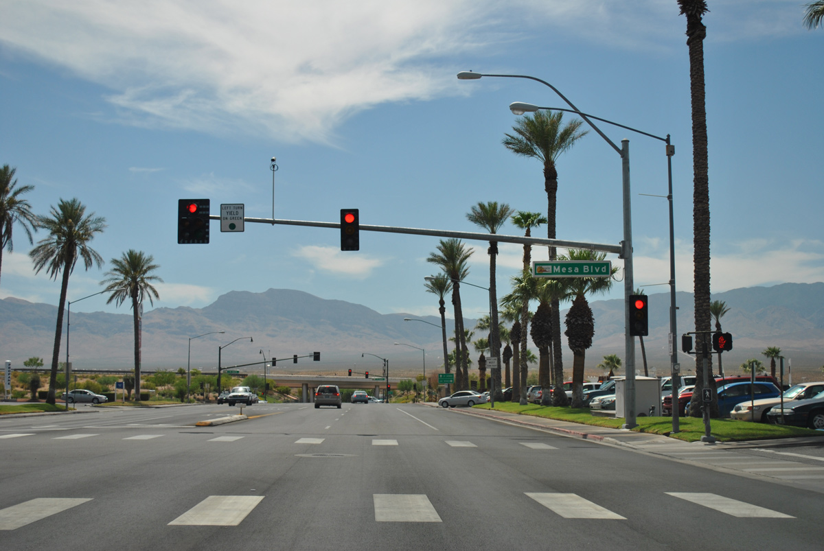
| Mesa Boulevard spurs east from a commercialized intersection with Pioneer Boulevard to a number of subdivisions north of I-15, and a dead end at the Arizona state line. 08/02/11 |
|
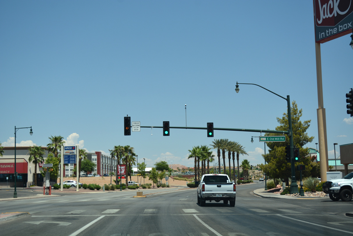
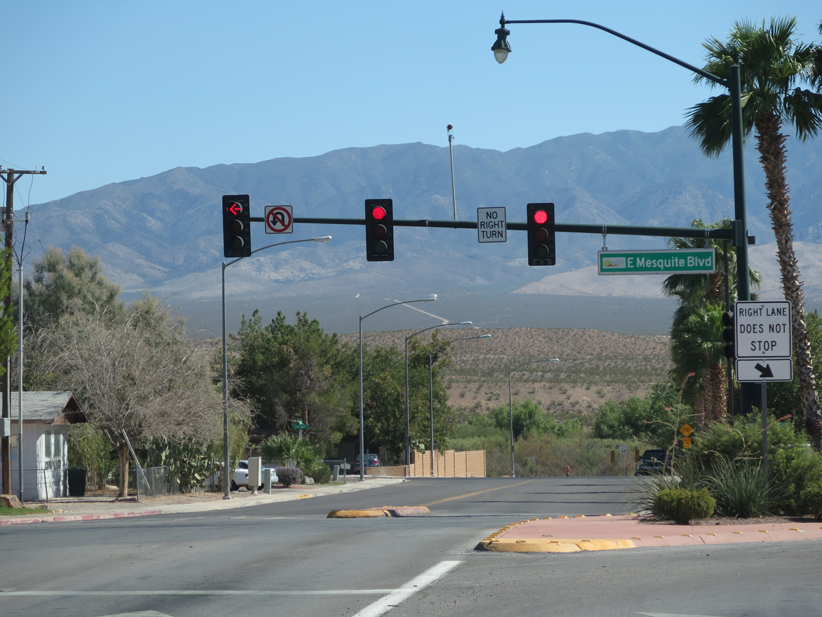
| The succeeding signal along Sandhill Boulevard south is with Old Mill Road west to Old Mill Park and east to the Morning Star and Jack Hardy Estates subdivisions. 07/15/17 |
|
| An I-15 trailblazer takes the place of a Business Loop I-15 shield, directing traffic from Sandhill Boulevard south to Mesquite Boulevard west. 07/15/17 |
|
| Sandhill Boulevard extends south one block to 1st Street South, where Hafen Lane takes over and curves west to the Wildflower and Mountain View Estates subdivisions at Hafen Trailhead Park. 08/13/16 |
|
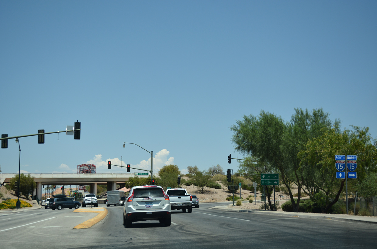
| Pioneer Boulevard concludes at the diamond interchange (Exit 122) with Interstate 15, opposite Business Loop I-15 south along Sandhill Boulevard. 10/19/04 |
|
| Interstate 15 winds west through central Mesquite between Pioneer Boulevard and Old Mill Road. The freeway stays within the city limits to the west end of SR 170 at Exit 112. 07/15/17 |
|
| Hillside Drive (historic U.S. 91) angles southwest from Mohave County Road 15 in Arizona to end at Business Loop I-15 (Sandhill Boulevard) at the first signal south of I-15. Sandhill Boulevard continues the former US highway south to Mesquite Boulevard west. 07/15/17 |
|
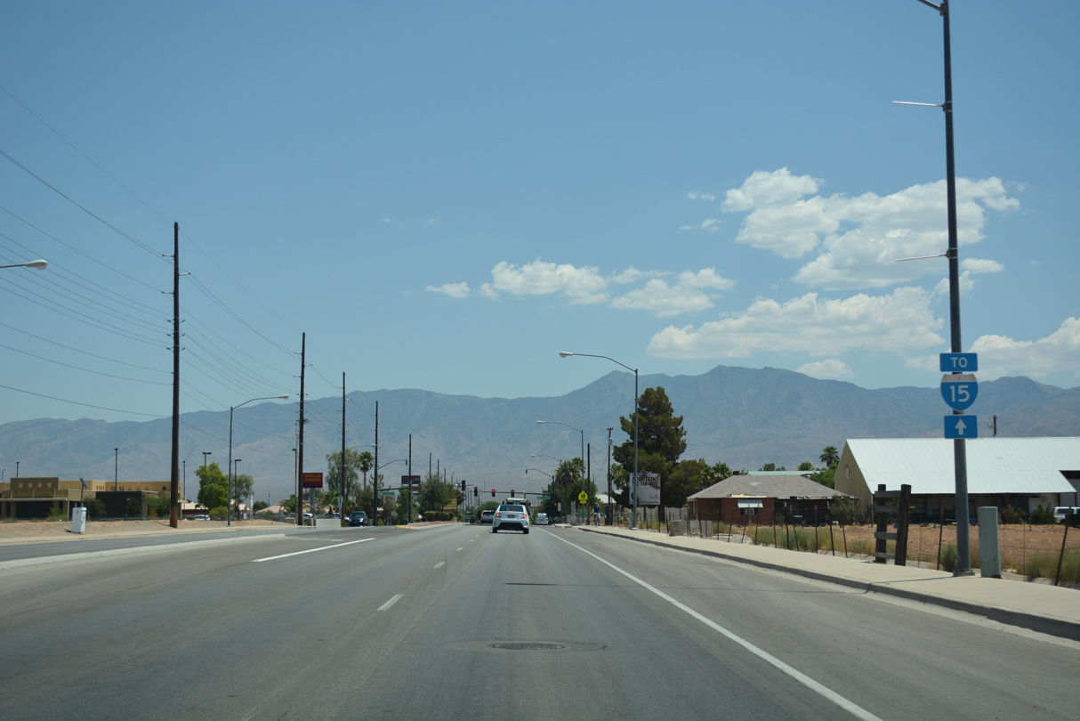
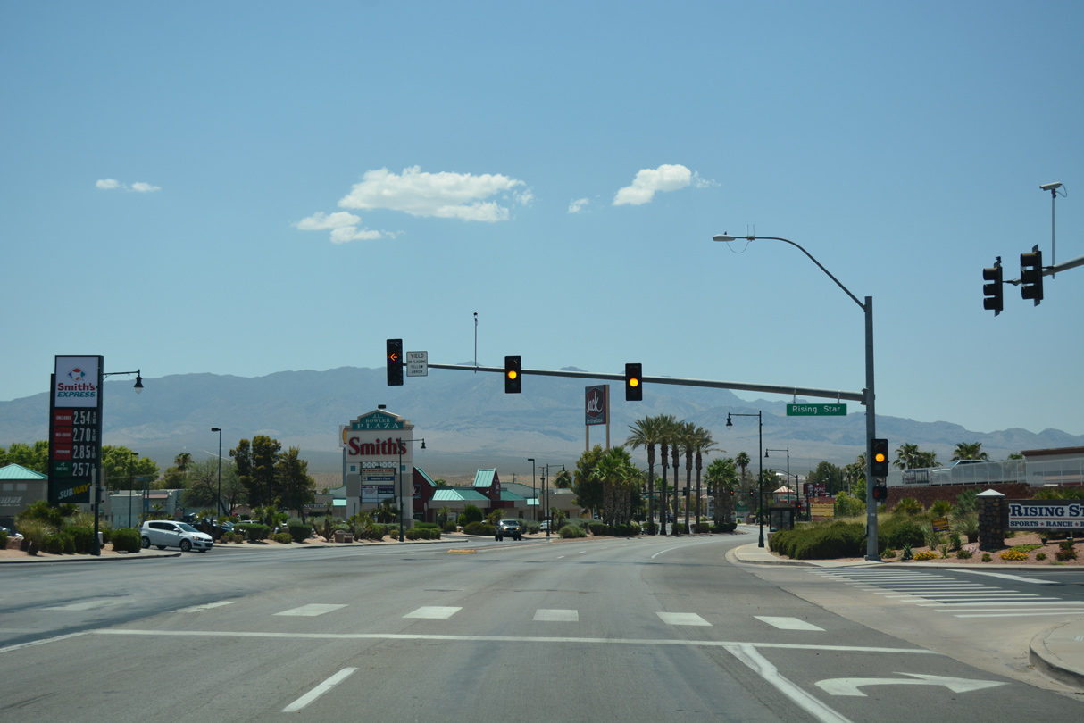
| Mesquite Boulevard constitutes a four lane, landscaped arterial west from Sandhill Boulevard to Falcon Ridge Boulevard at I-15. Business Loop I-15 is unmarked along this stretch. 07/15/17 |
|
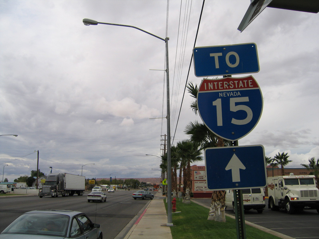
| A trailblazer for I-15 formerly stood along Mesquite Boulevard besides Brickyard Plaza shopping center. The subsequent transfer of the boulevard from NDOT to the city of Mesquite led to a redesign of the roadway to include a landscaped median in place of a continuous center turn lane seen here. 10/19/04 |
|
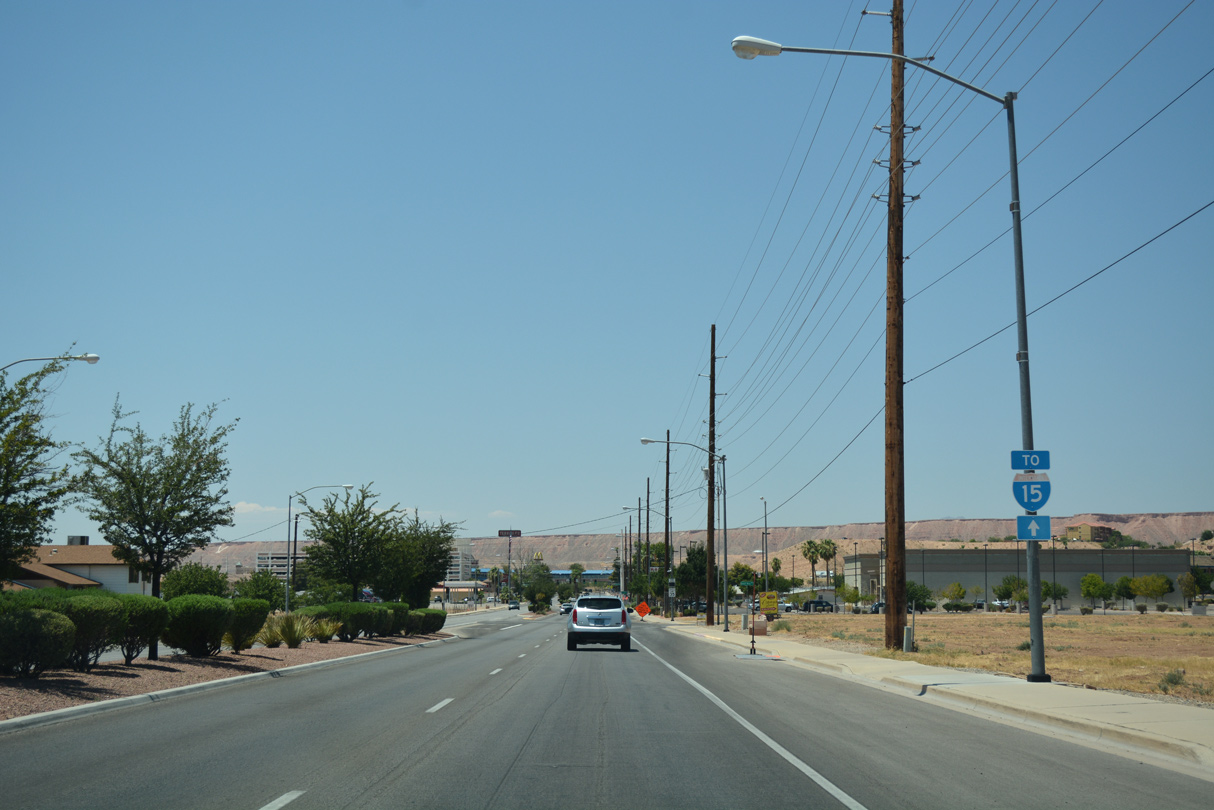
| A replacement trailblazer for I-15 was added to Mesquite Boulevard between Arrowhead and Woodbury Lanes along westbound. There remains no confirming markers for the business loop in this direction. 07/15/17 |
|
| Thistle Street links Mesquite Boulevard with Hafen Lane south at Hafen Trailhead Park through the Rising Sun, Cedarwood and Mountain View Estates neighborhoods. 07/15/17 |
|
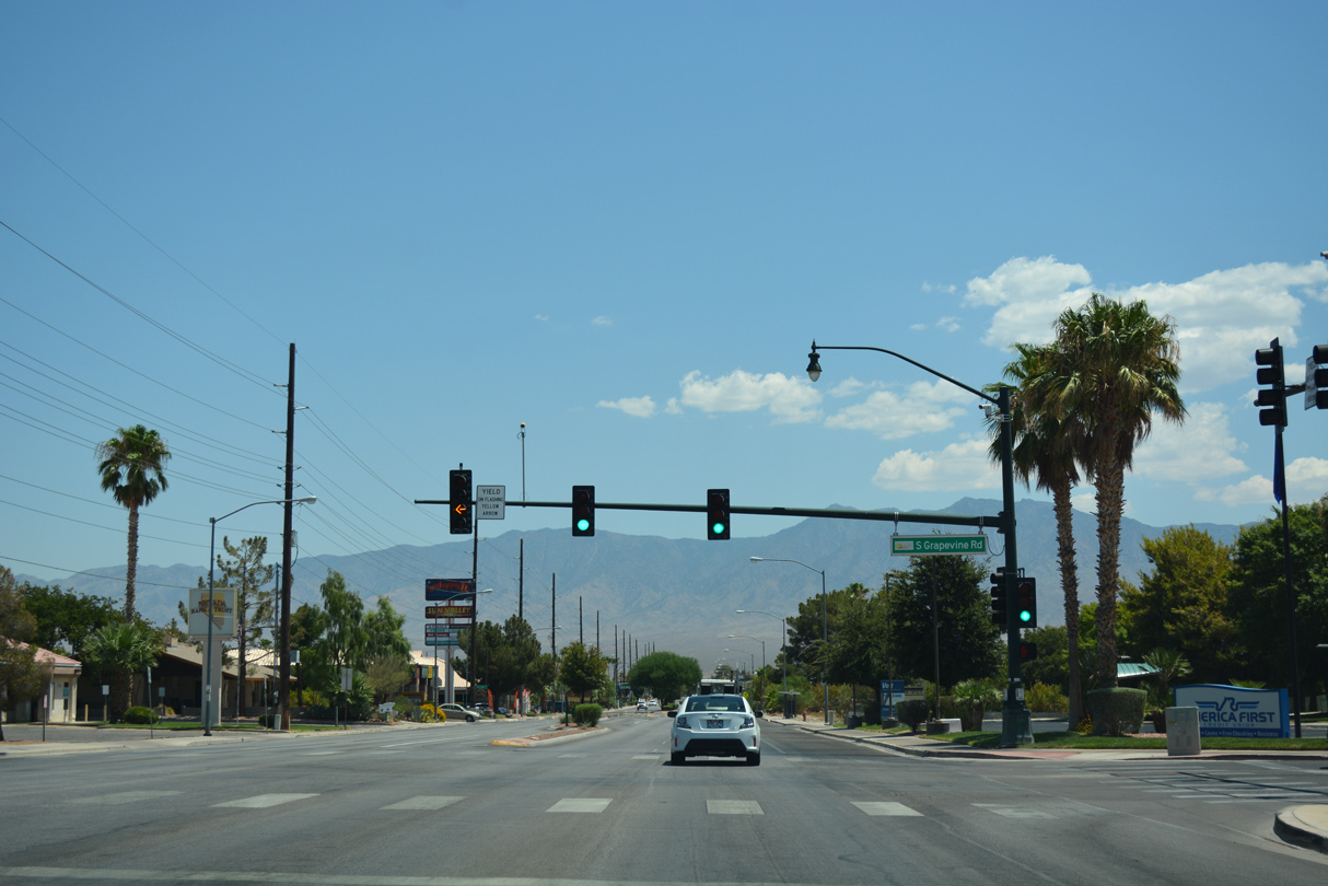
| The succeeding traffic light westbound along Mesquite Boulevard operates at Grapevine Road. Grapevine Road stems north from Hafen Lane at the Grapevine Villas subdivision northward to cross I-15 to the Mesquite Vistas community. 07/15/17 |
|
| Business Loop I-15 crosses over the culverted Abott Wash ahead of this shield assembly preceding Desert Rose Way north to the Calistoga Ranch and Desert Rose subdivisions. 07/15/17 |
|
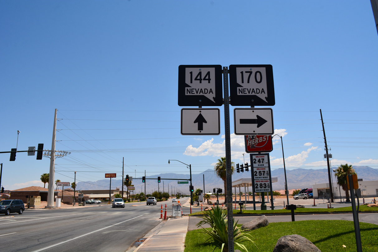
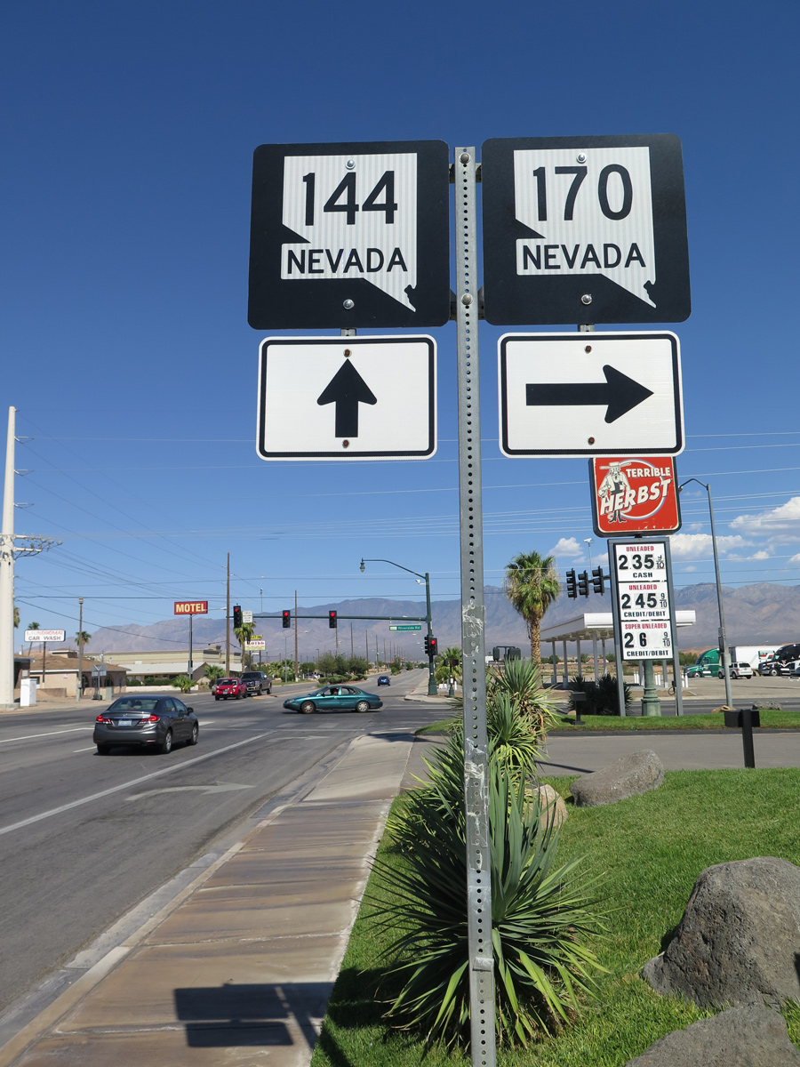
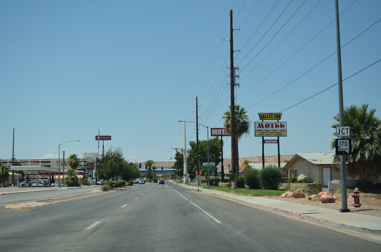
| Forthcoming Riverside Road leads SR 170 south from Business Loop I-15 (Mesquite Boulevard) opposite Old Mill Road. SR 170 travels three miles southwest to the unincorporated town of Bunkerville. 07/15/17, 10/19/04 |
|
| SR 170 (Riverside Road) loops 12.26 miles southwest through the Virgin Valley to Riverside and north to Interstate 15 at Exit 112 in far western Mesquite. 07/15/17, 10/19/04 |
|
| A skybridge spans Mesquite Boulevard from parking lots on the north side of Business Loop I-15 to the CasaBlanca Resort at Pulsipher Lane. 07/15/17 |
|
| Business Loop I-15 south returns to Interstate 15 at a dumbbell interchange with Falcon Ridge Parkway south to Leavitt Lane and north to Pioneer Boulevard. 07/15/17 |
|
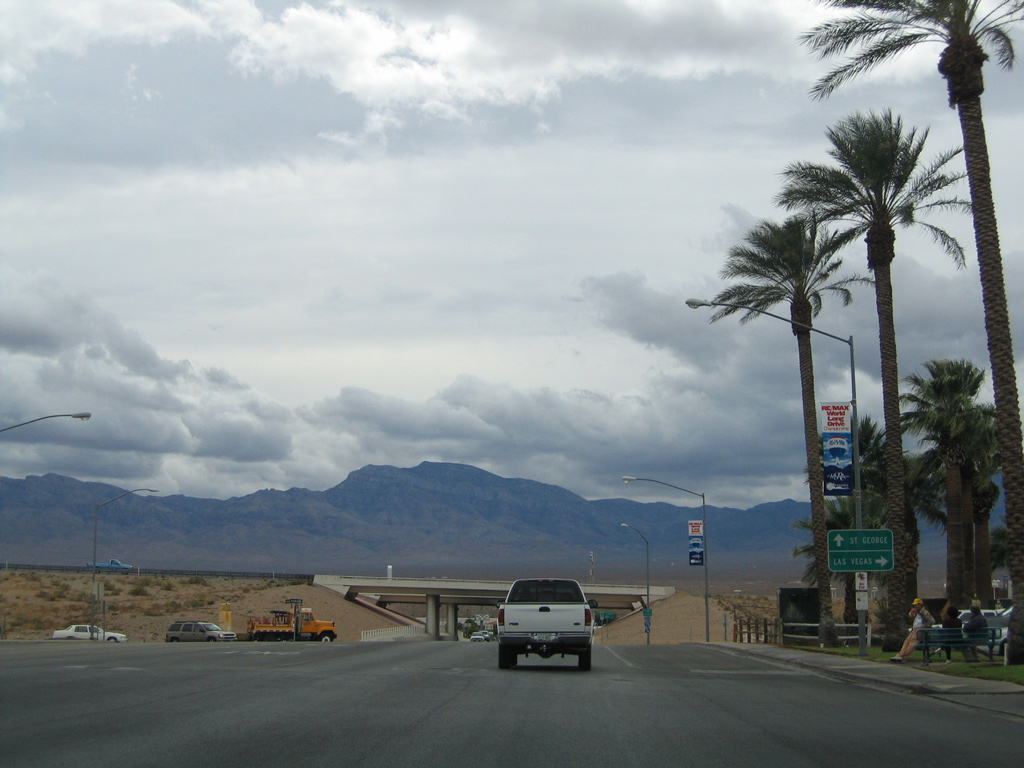
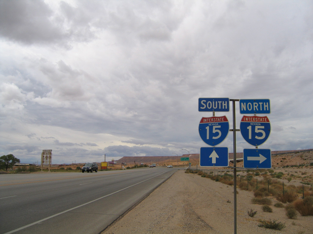
| The previous rural diamond interchange at the west end of Business Loop I-15 (Mesquite Boulevard). I-15 is a major freeway joining Mesquite generally along a northeasterly course toward the Virgin River Gorge and St. George, Utah and southwest to Las Vegas in 77 miles. 10/19/04 |
Photo Credits:10/19/04, 08/02/11, 08/13/16, 07/15/17 by AARoads
Connect with:
Interstate 15
Page Updated 07-26-2018.


 North
North