
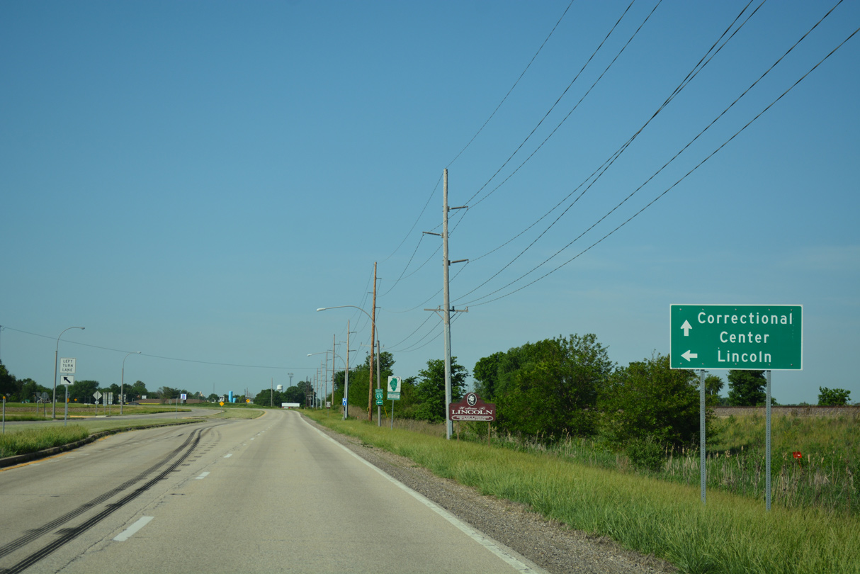
The business loop for Interstate 55 to Lincoln follows portions of Historic U.S. 66 through and around the city. Beginning at Exit 123, Business Loop I-55 lines Lincoln Parkway, a four lane divided highway, northeast from I-55 to parallel Union Pacific Railroad tracks to the city line. Lincoln Parkway is an at-grade bypass built for U.S. 66 around the west and north sides of Lincoln. Business Loop I-55 branches east along 5th Street east toward Downtown.
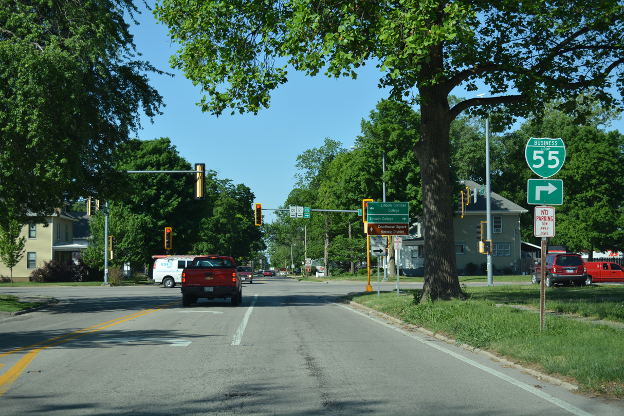
Turning northeast on Logan Street, Business Loop I-55 leaves the city center for a brief overlap with IL 10/121 along Keokuk Street. The business route resumes a northeastern course along Kickapoo Street back to Lincoln Parkway. Business Loop I-55 returns to I-55 beyond the Lincoln city limits at Exit 133.
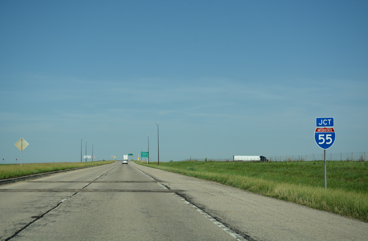
Business Loop I-55 commences at a parclo interchange joining I-55 with Lincoln Parkway west of Edward R. Madigan State Park. Interstate 55 leads north from the exchange to bypass the west side of Lincoln before turning east at the south end of I-55.
05/06/10
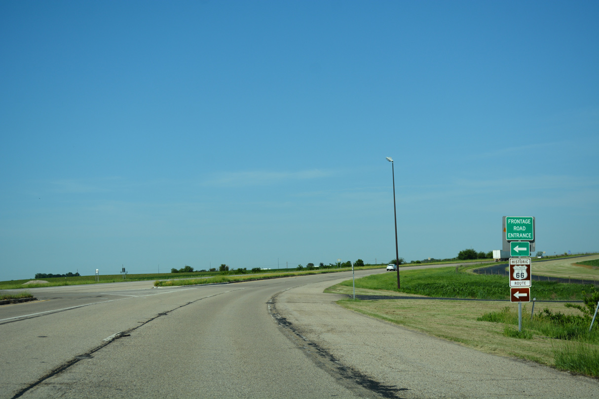
Historic U.S. 66 remains in use alongside Interstate 55 south from Lincoln to the village of Broadwell as a Frontage Road. Business Loop I-55 and Lincoln Parkway overtake the two lane roadway just east of Exit 123.
05/06/10
The first reassurance marker for Business Loop I-55 north appears after the intersection with Historic U.S. 66 south along Frontage Road. The parallel UP Railroad comes into view along the east side of the parkway.
05/06/10
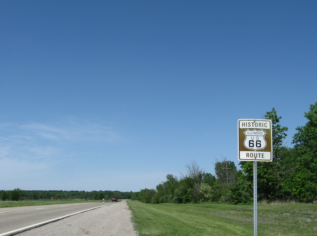
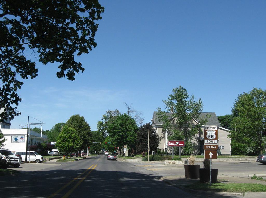
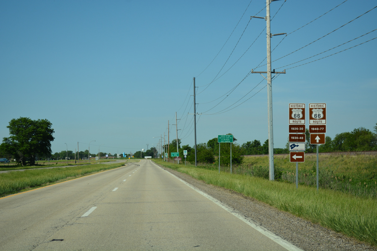
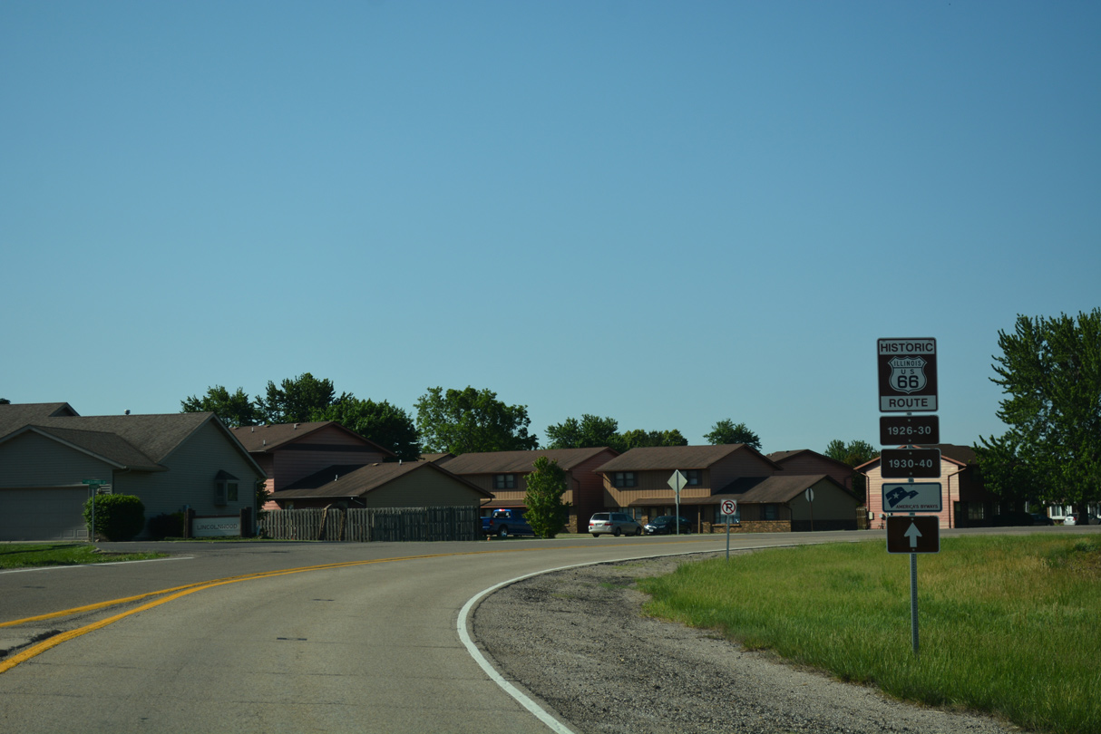
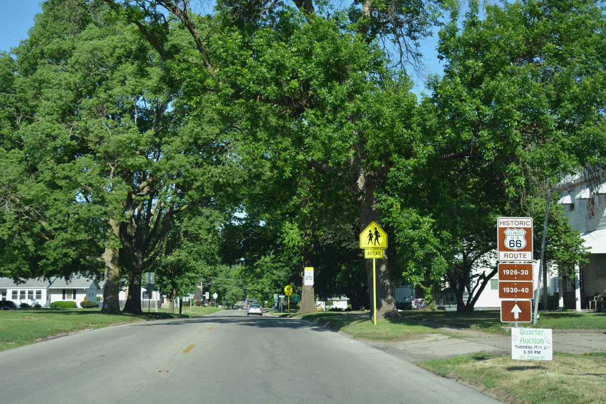
Historic U.S. 66 trailblazers accompany portions of the Business Loop for I-55 through Lincoln as well.
05/06/10
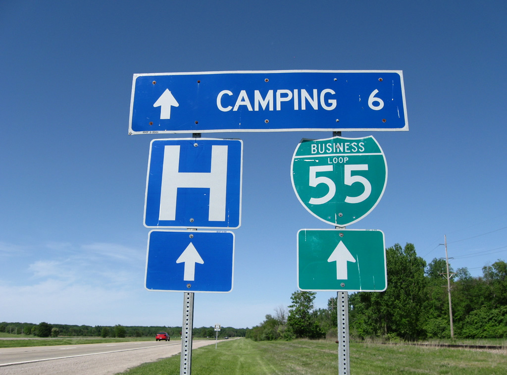
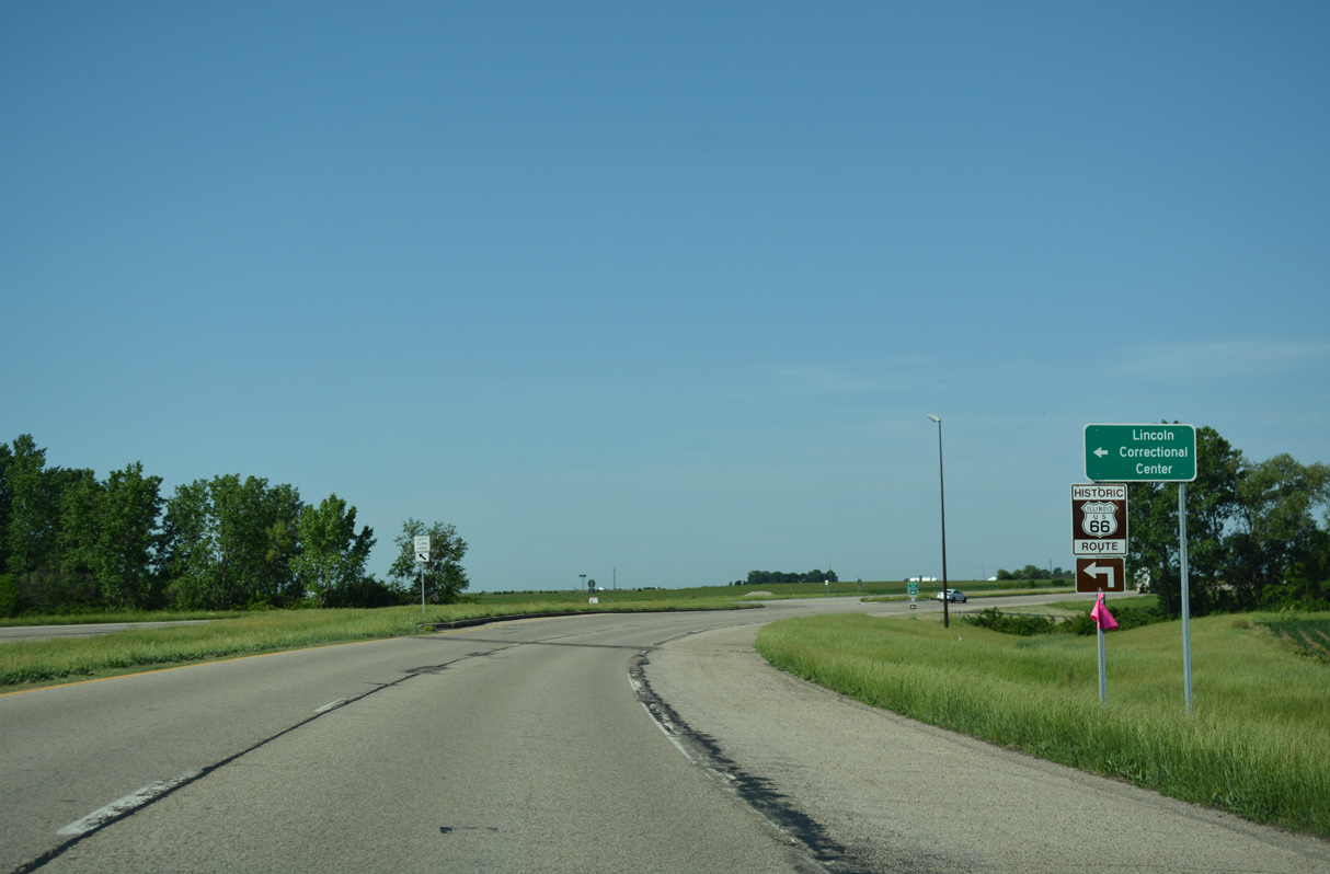
Business Loop I-55 north travels between agricultural land to the west and Edward R. Madigan State Park and a prison to the east.
05/06/10
A barrier previously separated traffic along Lincoln Parkway north to the bridge spanning Salt Creek. The forthcoming bridge was replaced in 2014. The new span with ten foot wide shoulders smoothed out the previous curve.2
05/06/10
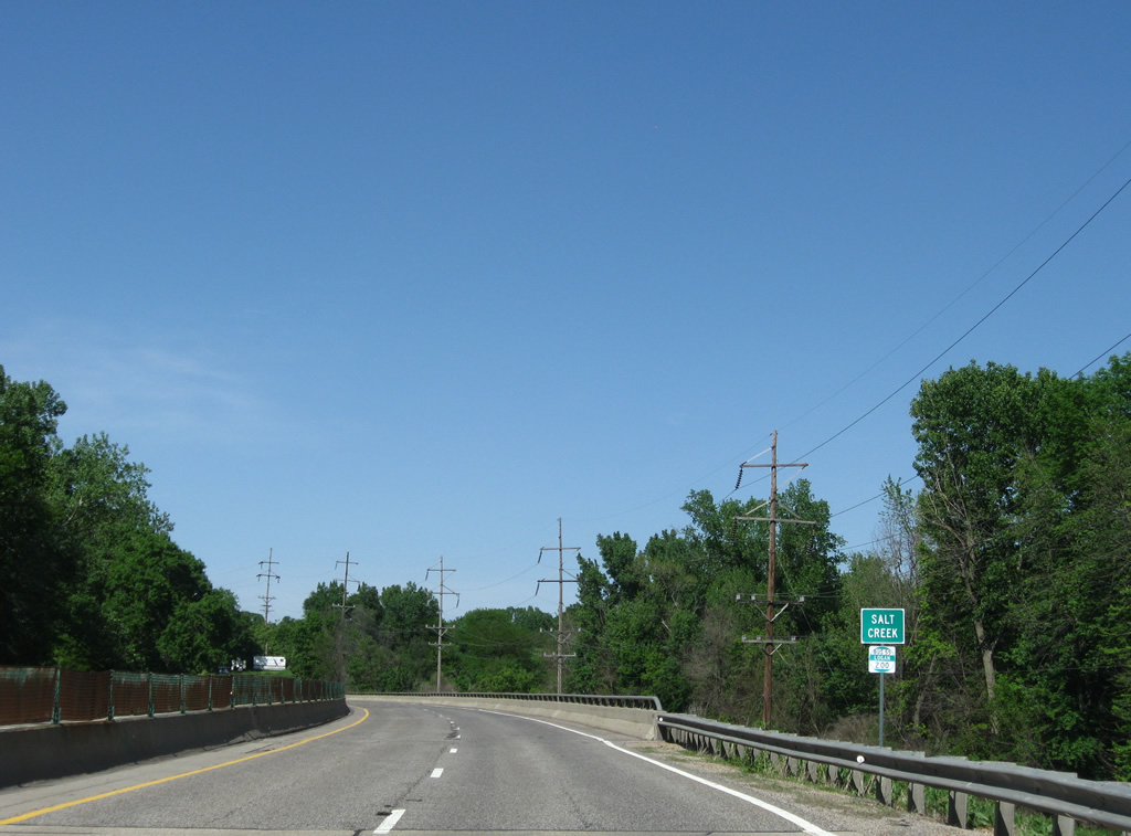
Waters of the Salt Creek flow west from Lake Clinton to Lincoln and along a channelized course to overtake Kickapoo Creek west of I-55. The 110 mile long waterway is a tributary of the Sangamon River.
05/06/10
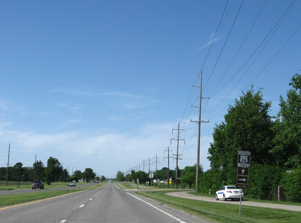
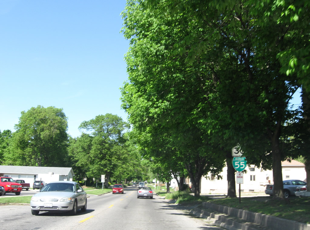
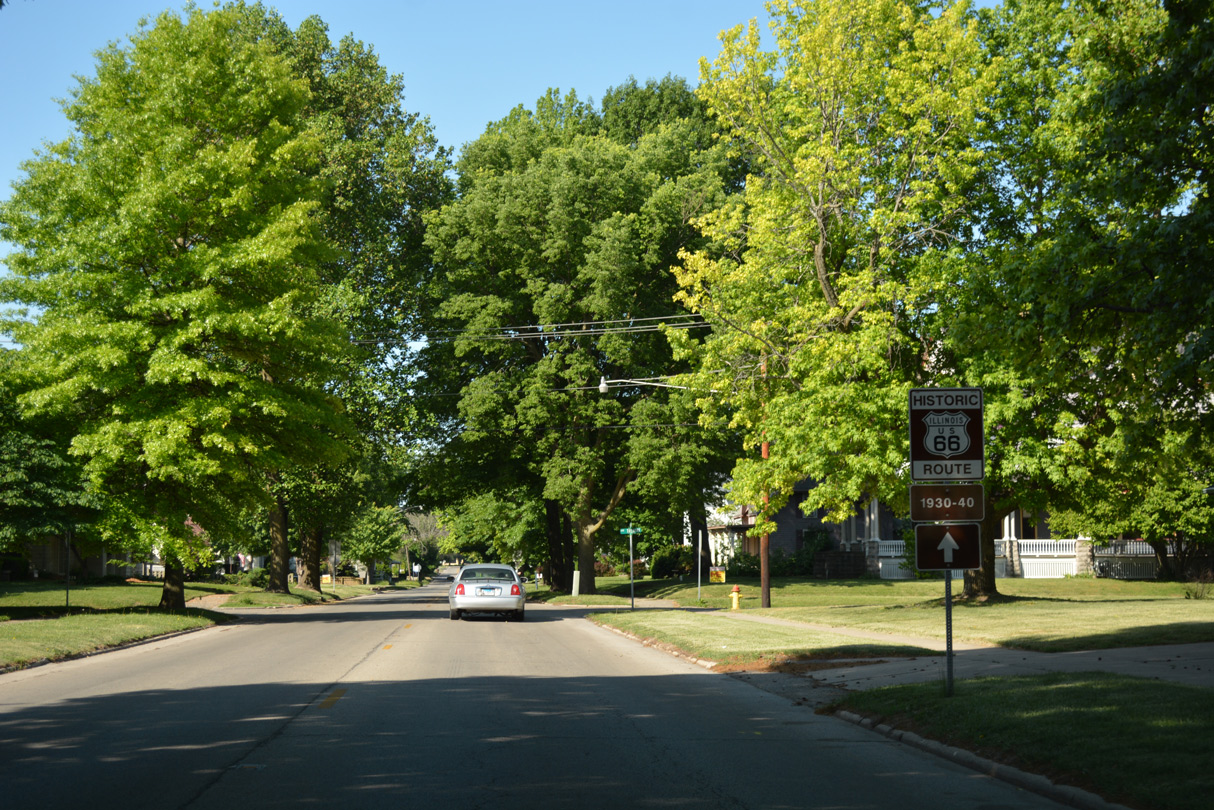
Stringer Avenue branches northeast from Business Loop I-55 (Lincoln Parkway) as the 1930-40 route of Historic U.S. 66 to Washington Street north and 5th Street east.
05/06/10
Business Loop I-55 turns east from Lincoln Parkway onto 5th Street toward Downtown.
05/06/10
The 1940-77 alignment of Historic U.S. 66 continues north to encircle Lincoln by Logan County Fairgrounds and Kickapoo Creek.
05/24/18
5th Street east at Jefferson Street, one block ahead of the Postville Courthouse. The forthcoming State Historic Site includes a reproduction of Logan County'ss first seat of government made in 1953. The original courthouse, in which Abraham Lincoln once argued a case, was constructed in 1840 and moved in 1929 by Henry Ford to Dearborn, Michigan.1
05/06/10
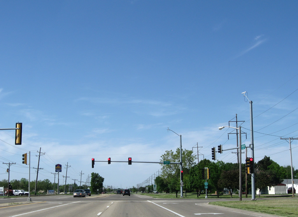
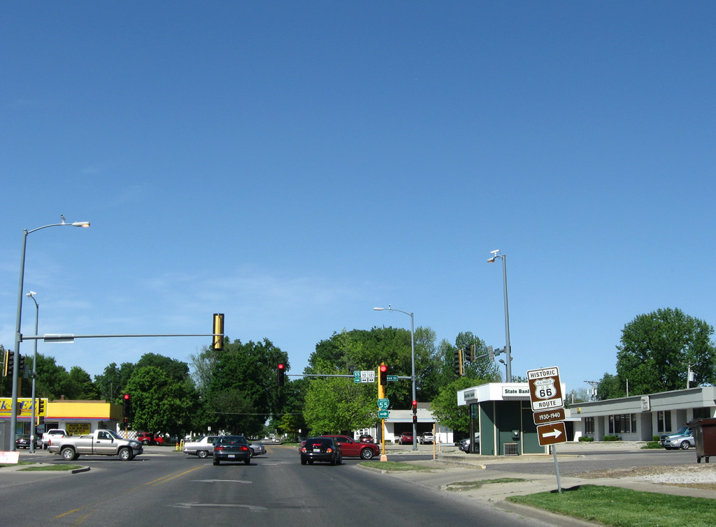
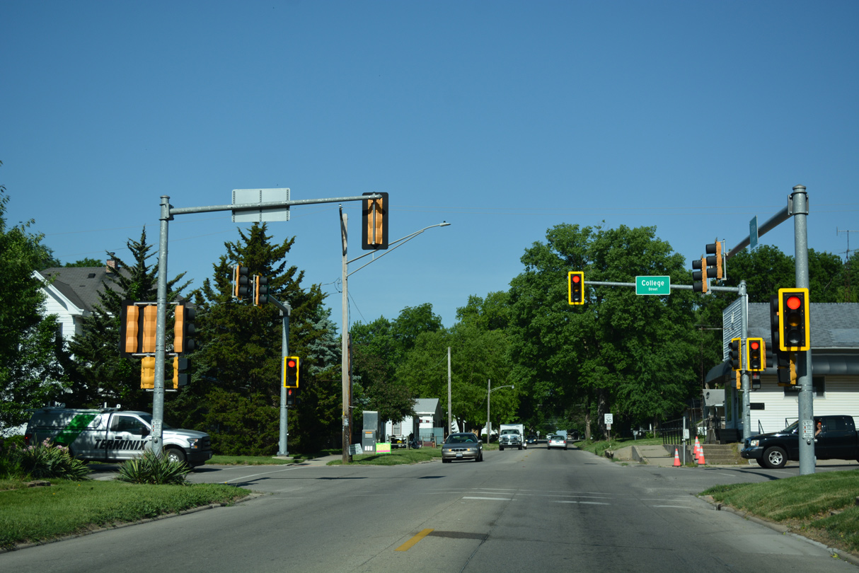
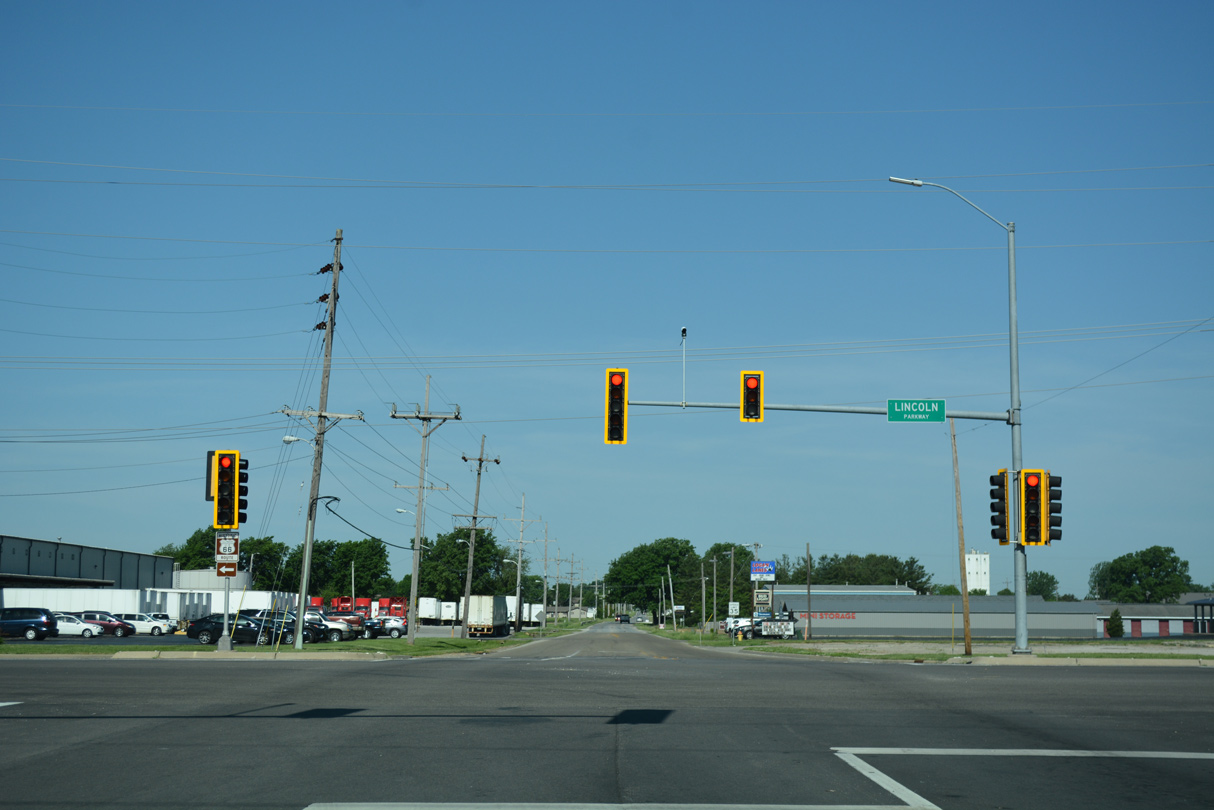
Narrowing east beyond State Street, Business Loop I-55 (5th Street) proceeds to College Street, where traffic lights were installed by 2012.
05/06/10
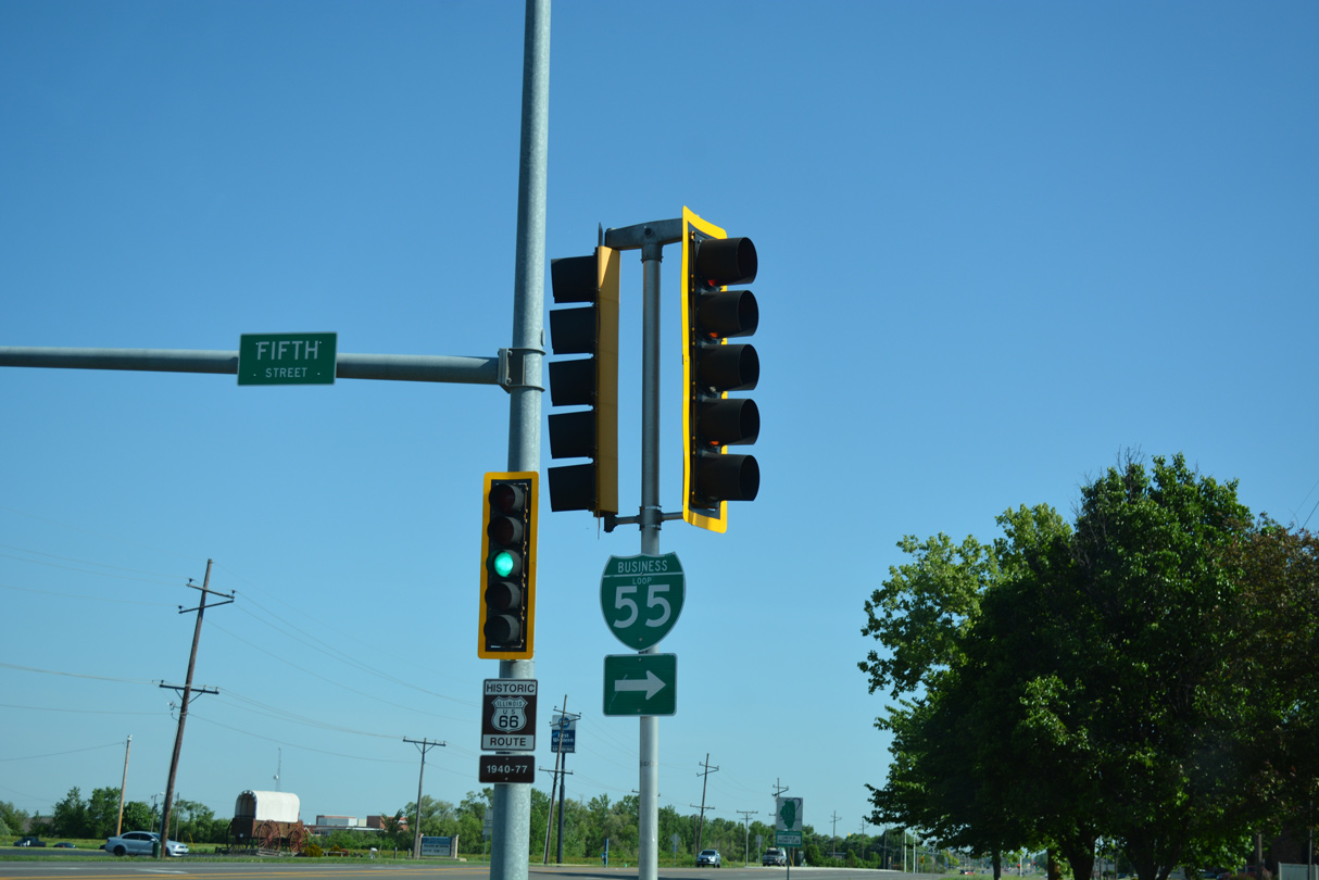
5th Street ties into a five point intersection with Clinton and Logan Streets. Business Loop I-55 north turns onto Logan Street.
05/06/10
Removed by 2019, a Historic U.S. 66 trailblazer appeared between Clinton and Pulaski Streets along the west side of the Lincoln business district.
05/06/10

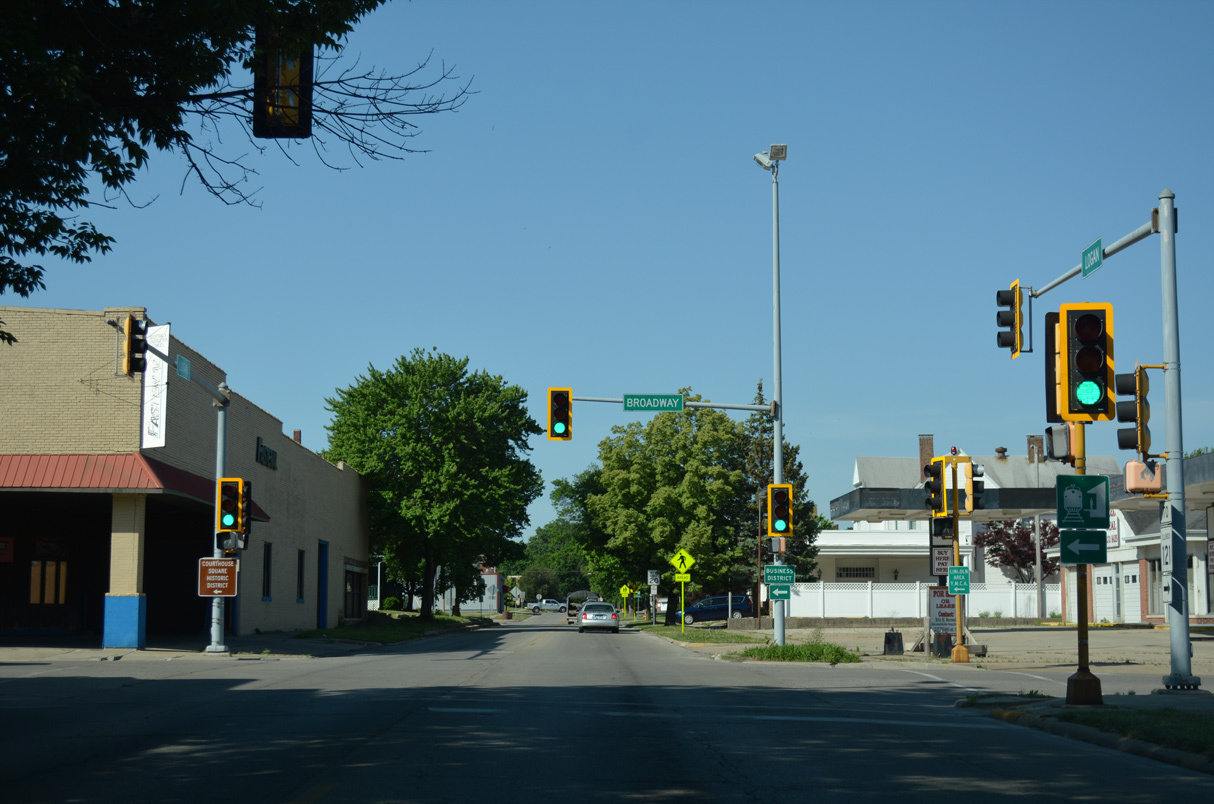
Broadway leads southeast from 8th and Union Streets across Business Loop I-55 (Logan Street) to the Logan County Courthouse through Downtown.
05/06/10
Leaving Broadway Street, Business Loop I-55 continues one block to reenter residential areas.
05/06/10
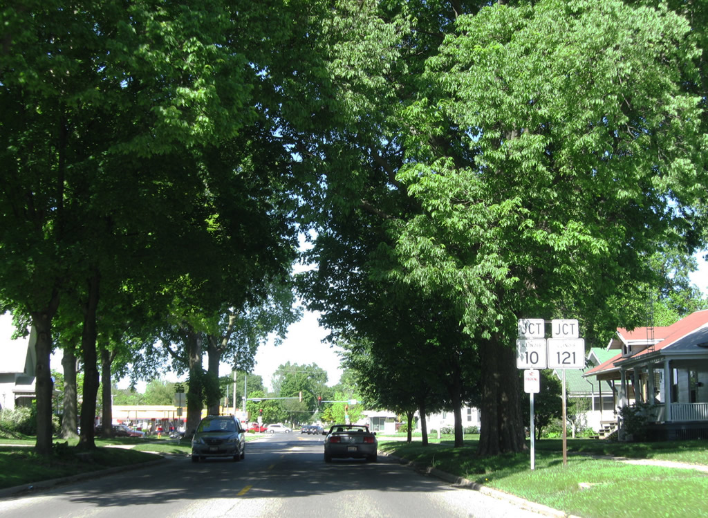
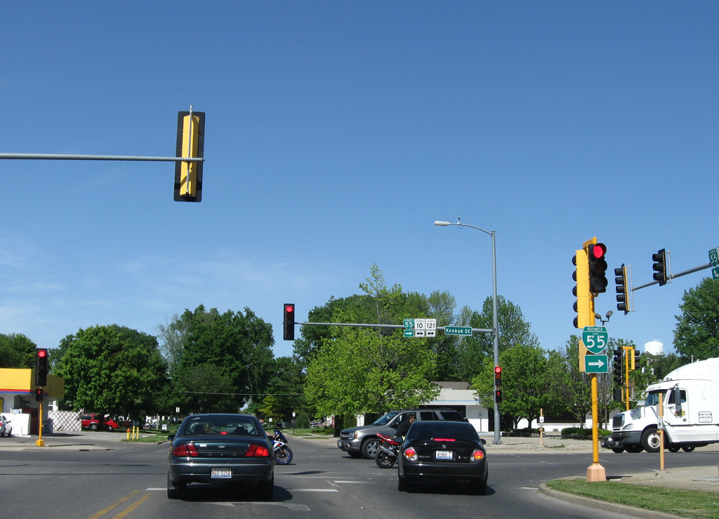
IL 121 bypasses the east side of Lincoln along Limit Street to combine with IL 10 (Keokuk Street) west a half mile from Logan Street. The two routes continue 3.1 miles west along Woodlawn Road to meet Interstate 55, where IL 121 ends.
05/06/10
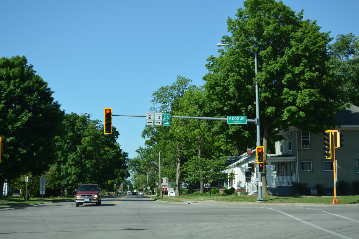
Historic U.S. 66 and Business Loop I-55 turn southeast along IL 10/121 (Keokuk Street) for three blocks to Kickapoo Street north.
05/06/10
05/06/10
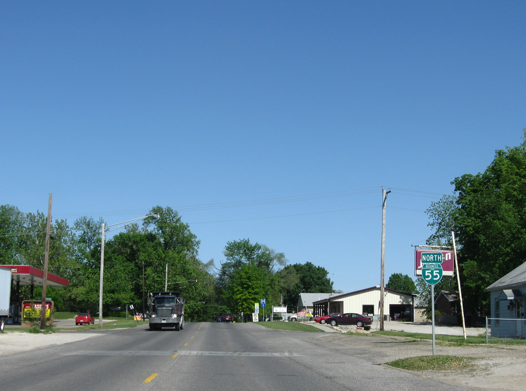
Business Loop I-55 north concludes at a folded diamond interchange (Exit 133) adjacent to Union Pacific Railroad tracks outside Lincoln.
05/24/18
Historic U.S. 66 extends northeast from Business Loop I-55 and I-55 to Lawndale and Atlanta
05/24/18
Historic U.S. 66 runs along the west side of Interstate 55 southwest from Atlanta and Lawndale to the folded diamond interchange at Exit 133.
05/24/18
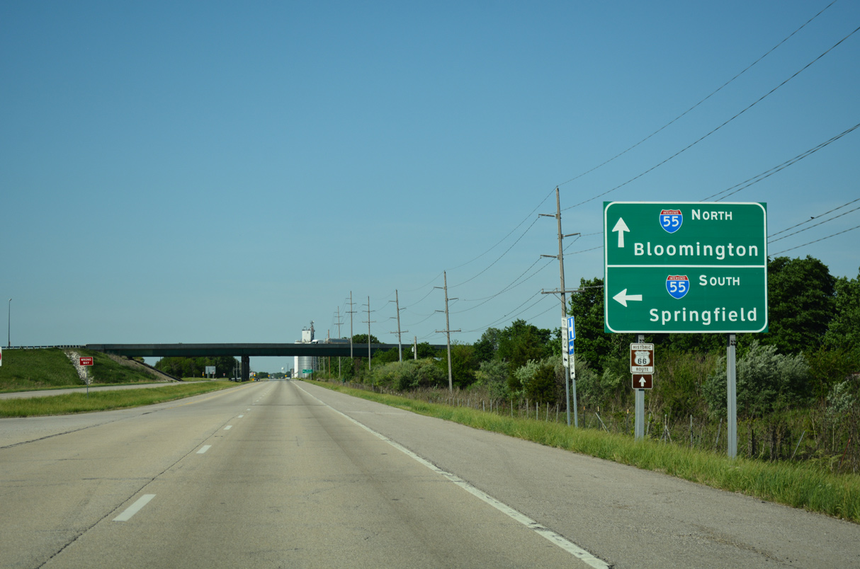
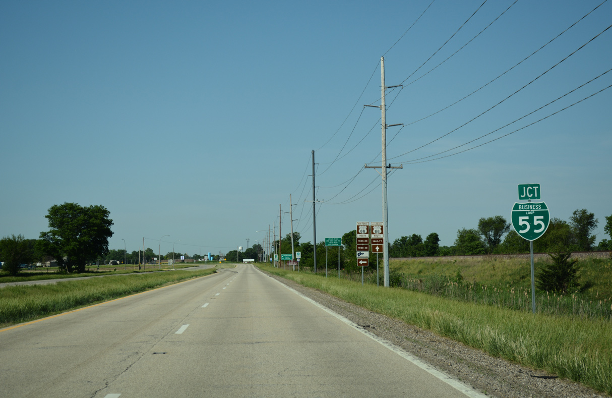
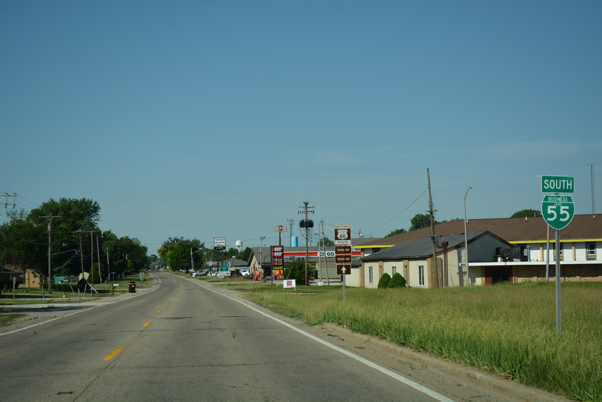
Interstate 55 bypasses Lincoln west to I-155 and south toward Broadwell. Business Loop I-55 commences southwest along Historic U.S. 66 toward Downtown Lincoln.
05/24/18
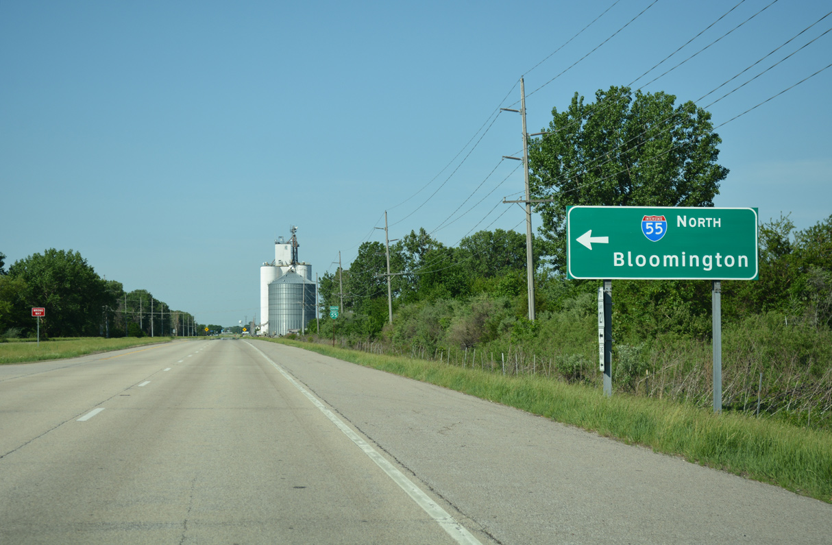
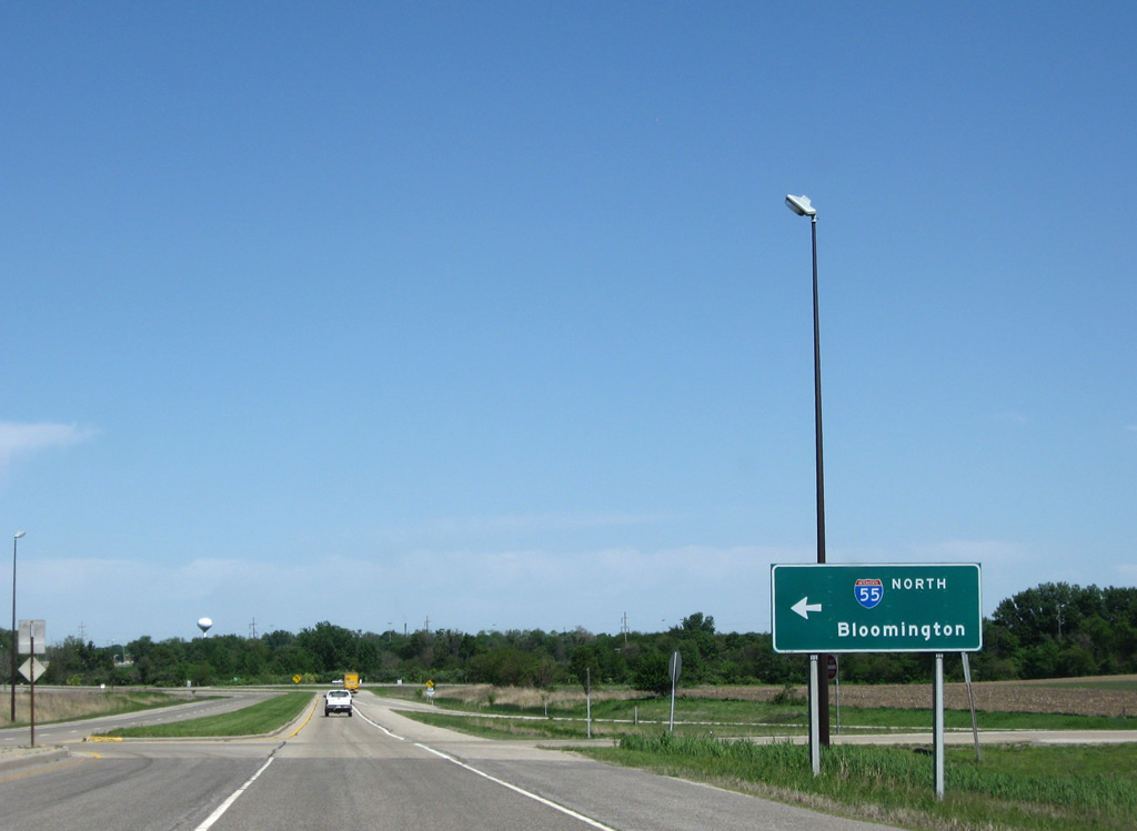
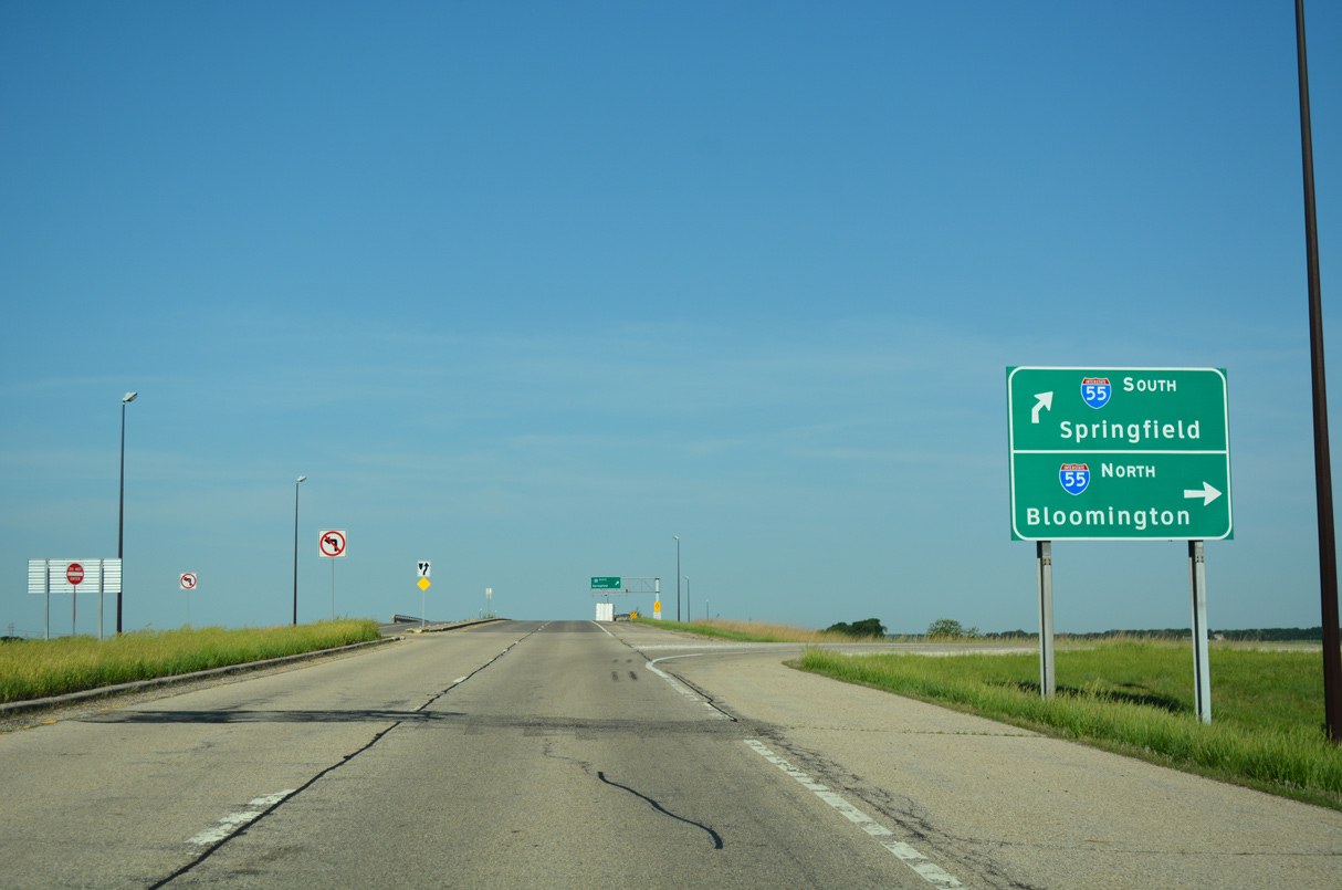
Heading northeast from Lincoln, Interstate 55 travels to Bloomington and Normal.
05/24/18
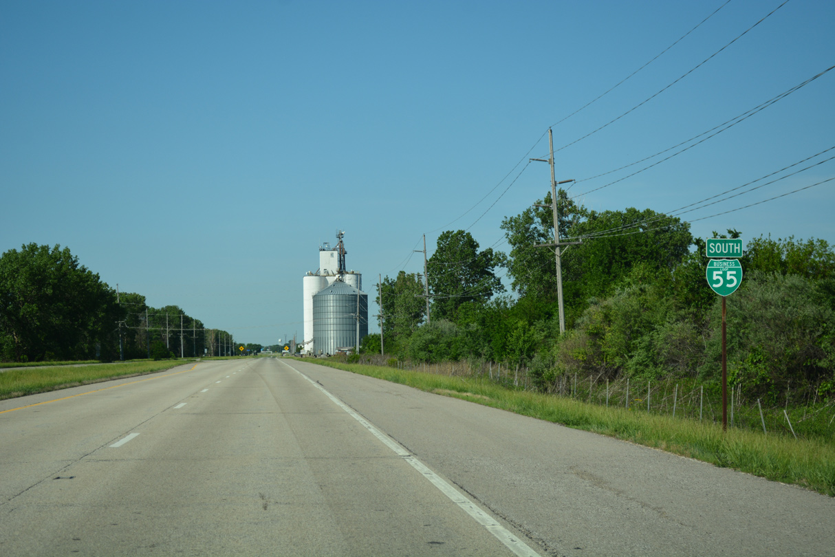
The first confirming marker for Business Loop I-55 south to Lincoln precedes 1800th Street.
05/24/18
05/24/18
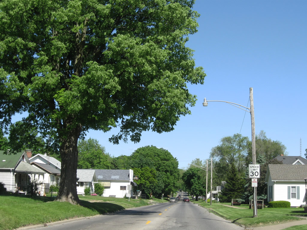
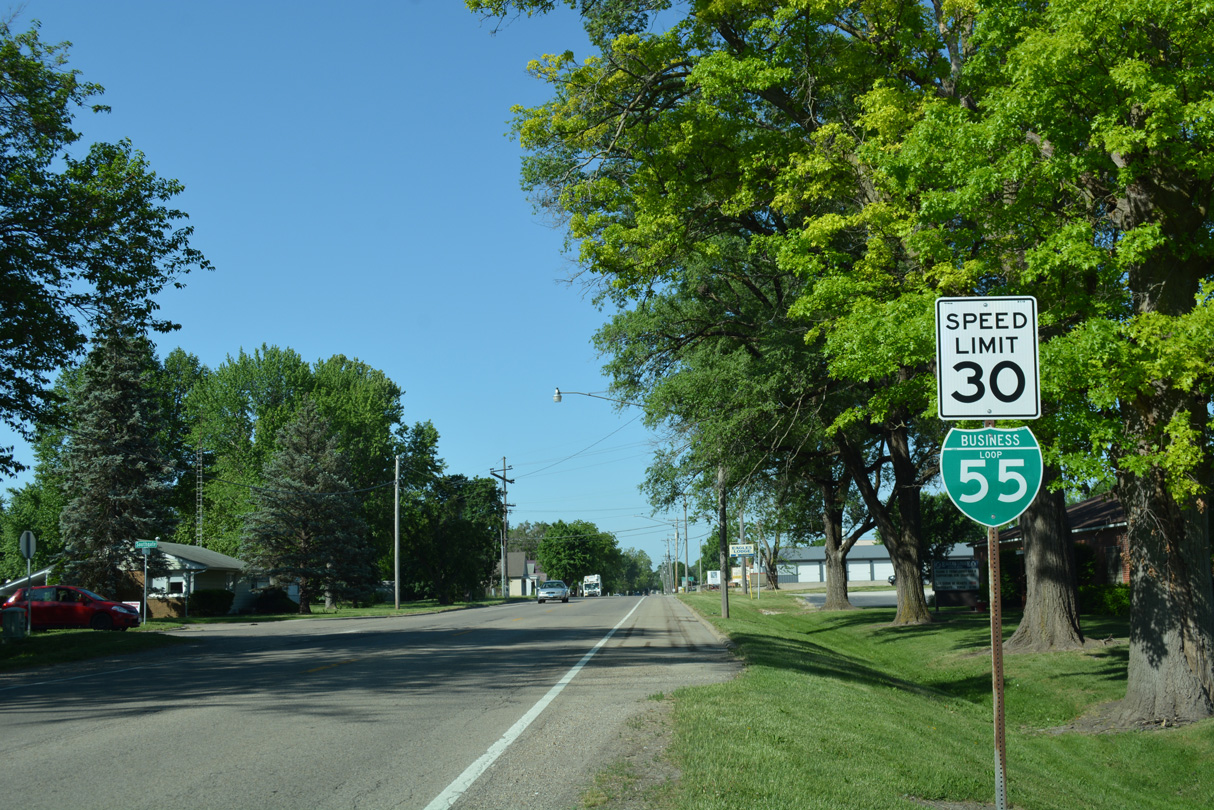
Business Loop I-55 shifts off Lincoln Parkway onto Kickapoo Street through residential areas of north Lincoln.
05/24/18
Lincoln Parkway, an arterial bypass encircling Lincoln, was the final alignment of Historic U.S. 66. The business route follows portions of the original and second alignments.
05/24/18
05/24/18
05/24/18
05/24/18
05/24/18
05/24/18
A reassurance marker for Business Loop I-55 stands just south of the connector joining Kickapoo Street with adjacent Lincoln Parkway.
05/24/18
05/24/18
Business Loop I-55 shield posted along Kickapoo Street south at Southgate Street.
05/24/18

Kickapoo Street south at Oklahoma Avenue.
05/24/18
05/24/18
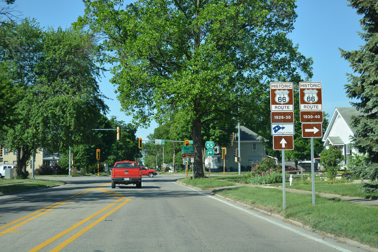
The original route of U.S. 66 continues southwest of IL 10/121 (Keokuk Street) along Kickapoo Street.
05/24/18
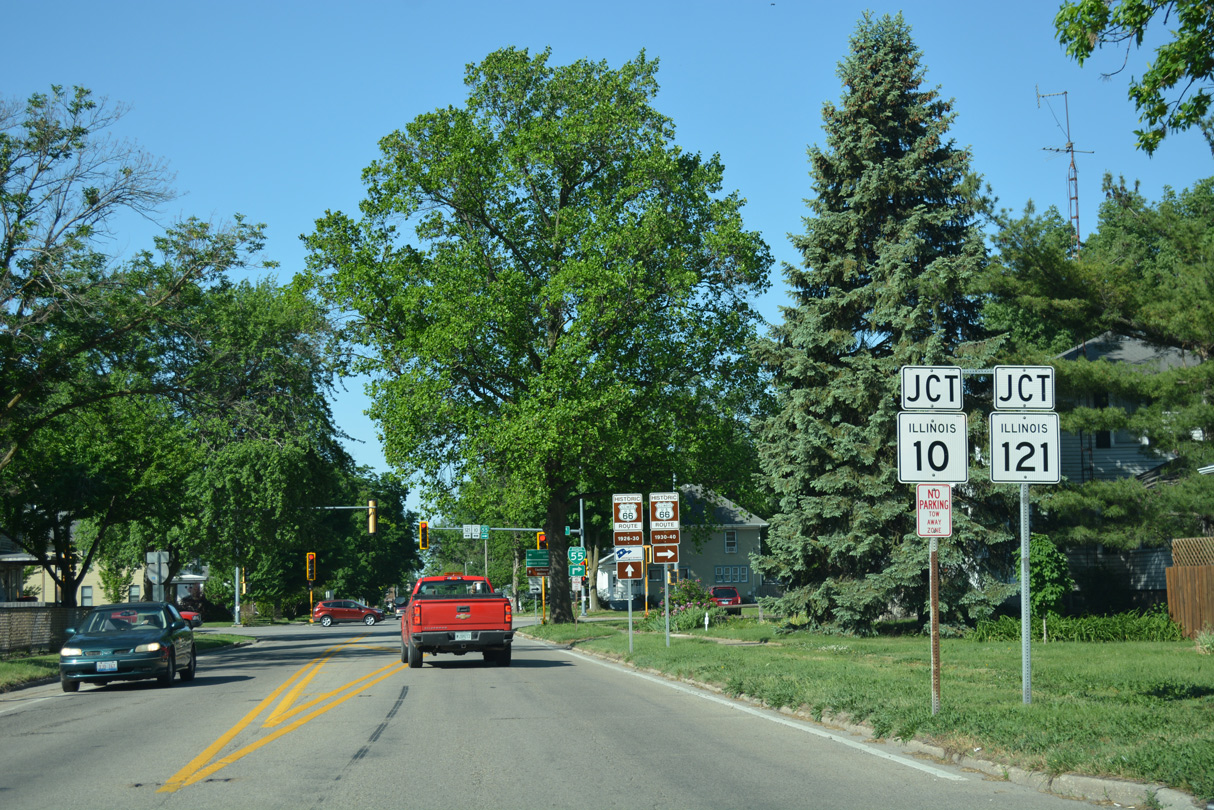
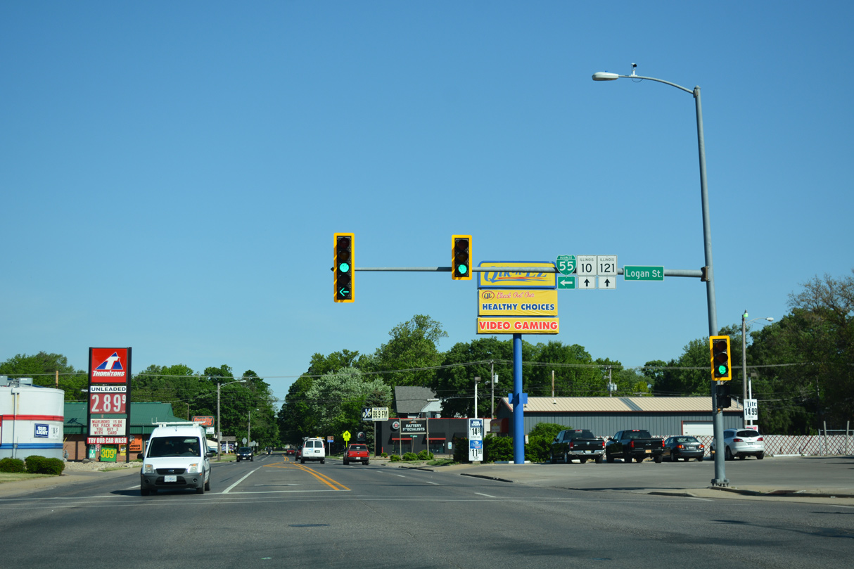
Business Loop I-55 turns west along a 0.19 mile overlap with IL 10/121 (Keokuk Street).
05/24/18
IL 10 travels east from Lincoln to Clinton while IL 121 heads south to Pulaski.
05/24/18

Business Loop I-55 continues southwest from IL 10/121 (Keokuk Street) along Logan Street, the second historic alignment of U.S. 66.
05/24/18
IL 10/121 continue 3.21 miles west to Interstate 55 via Woodlawn Road. IL 121 ends there while IL 10 leaves Lincoln for New Holland and Mason City.
05/24/18
Business Loop I-55 confirming marker posted along Logan Street south at Lincoln Avenue.
05/24/18
05/24/18
Logan Street south at Broadway Street in Downtown Lincoln.
05/24/18
05/24/18
Business Loop I-55 turns west onto 5th Street west from Logan Street. 5th Street west to Washington Street represents the 1930-40 alignment of Historic U.S. 66.
05/24/18
A small wooden cutout was previously posted for Historic U.S. 66 along Business Loop I-55 (5th Street) southbound between Maple and Walnut Streets.
05/06/10
The cutout appeared to be custom made and not an official Historic U.S. 66 marker. It was replaced with a Business Loop I-55 shield by 2018.
05/06/10
Business Loop I-55 reassurance marker posted along 5th Street south at Maple Street.
05/24/18
05/24/18
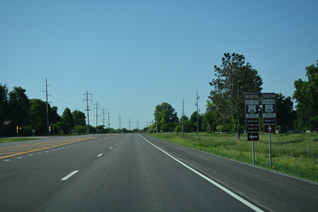
5th Street west at Washington Street, the 1926-30 alignment of Historic U.S. 66.
05/24/18
Business Loop I-55 makes an unmarked turn south from 5th Street onto Lincoln Parkway.
05/24/18
Business Loop I-55 follows the remainder of Lincoln Parkway, the 1940-77 alignment of Historic U.S. 66, south back to Interstate 55.
05/24/18
Business Loop I-55 meets the original route of U.S. 66 again at Stringer Avenue.
05/24/18
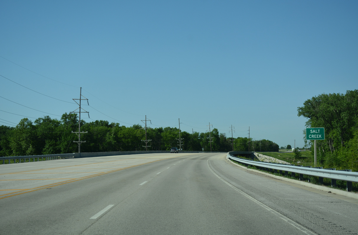
Lincoln Parkway leaves the Lincoln city limits south at Salt Creek.
05/24/18
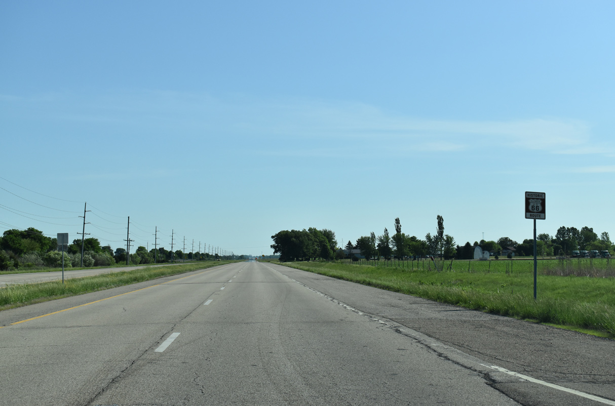
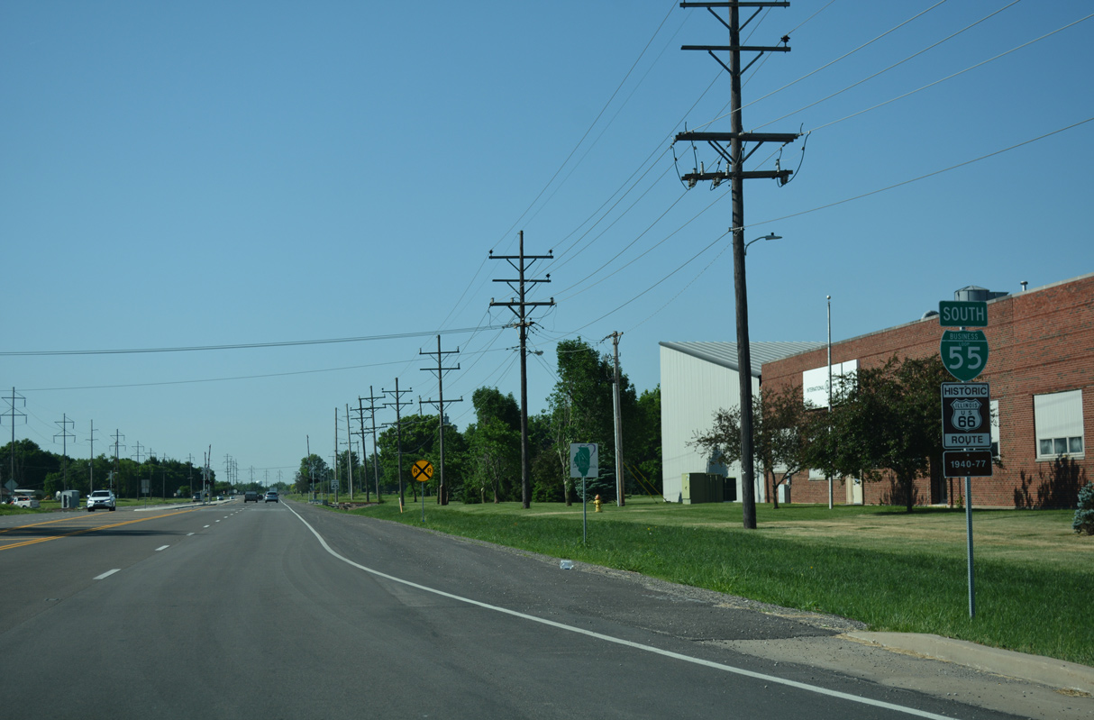
Historic U.S. 66 branches southwest from Lincoln Parkway to again run alongside Interstate 55 en route to Broadwell.
05/24/18
05/24/18
Business Loop I-55 (Lincoln Parkway) proceeds 0.55 miles west from Historic U.S. 66 (Frontage Road) to Interstate 55 at Exit 123.
05/24/18
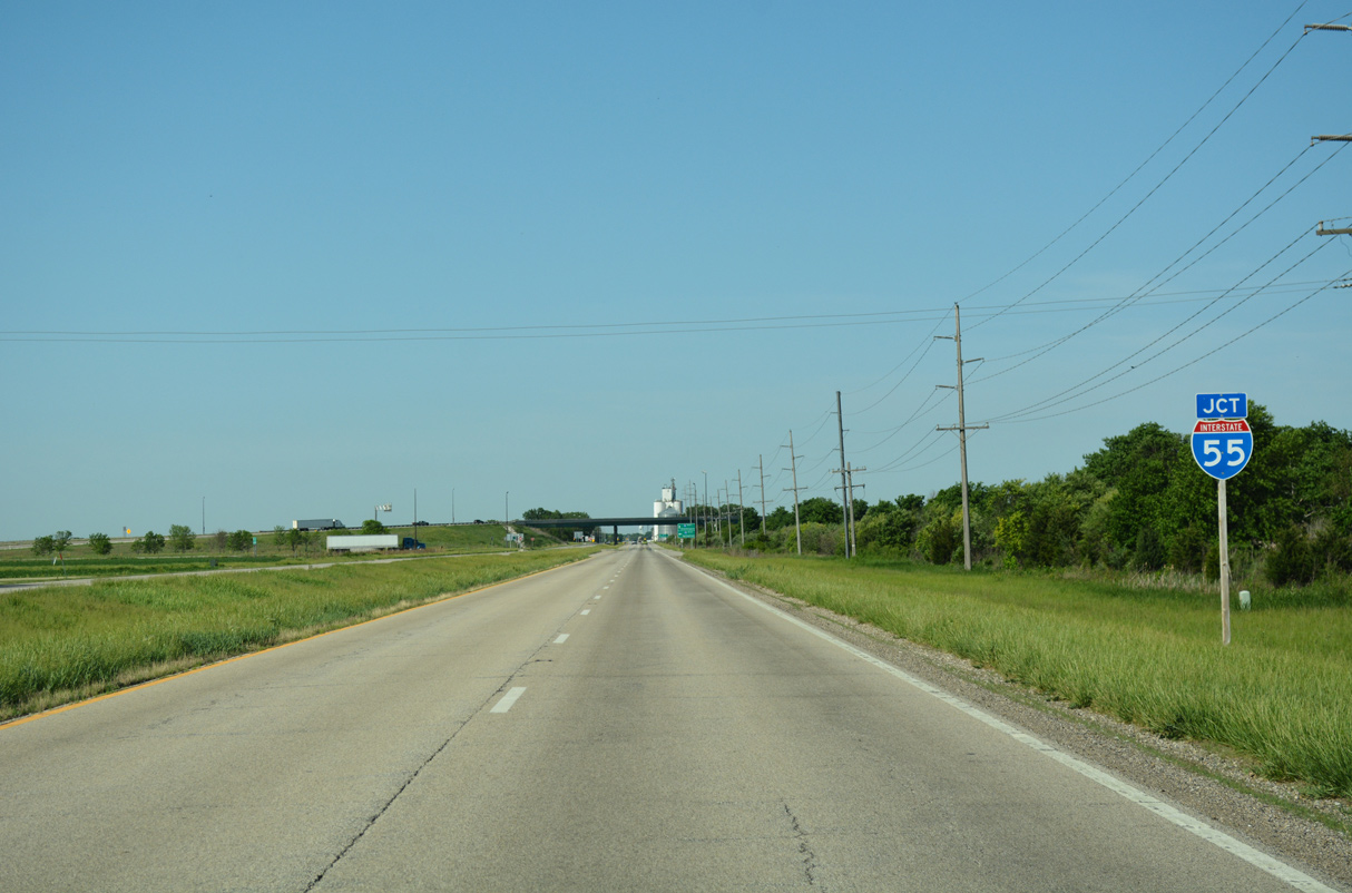
A parclo interchange connects Lincoln Parkway with Interstate 55.
05/24/18
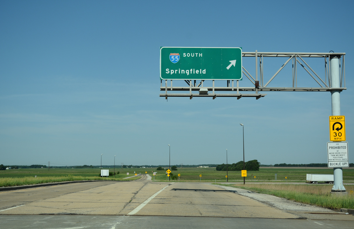
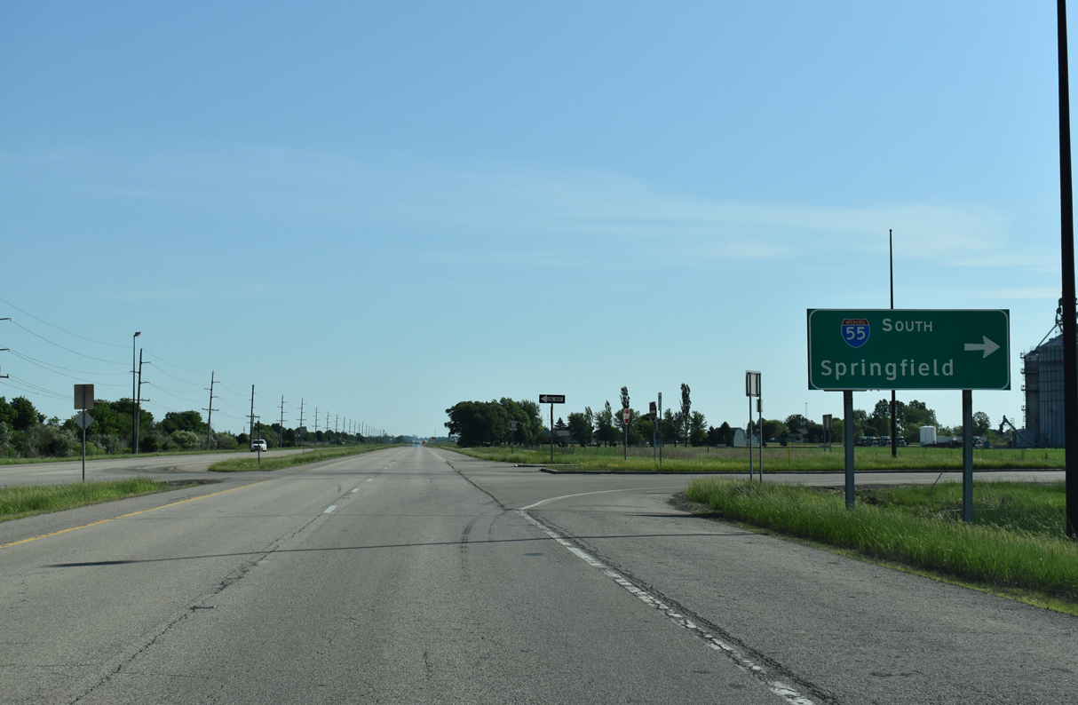
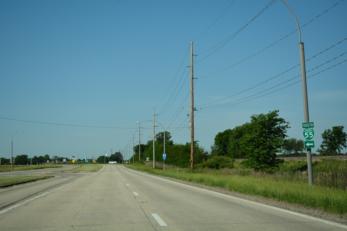
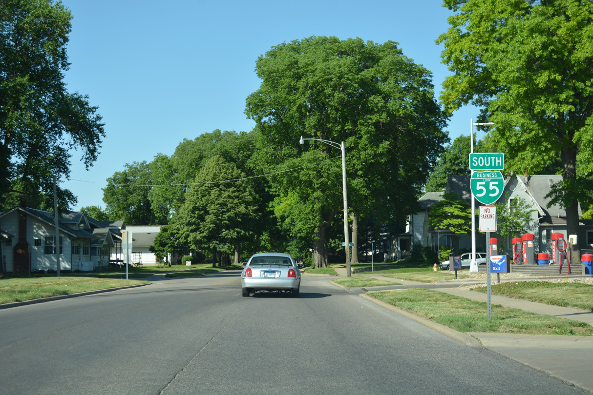
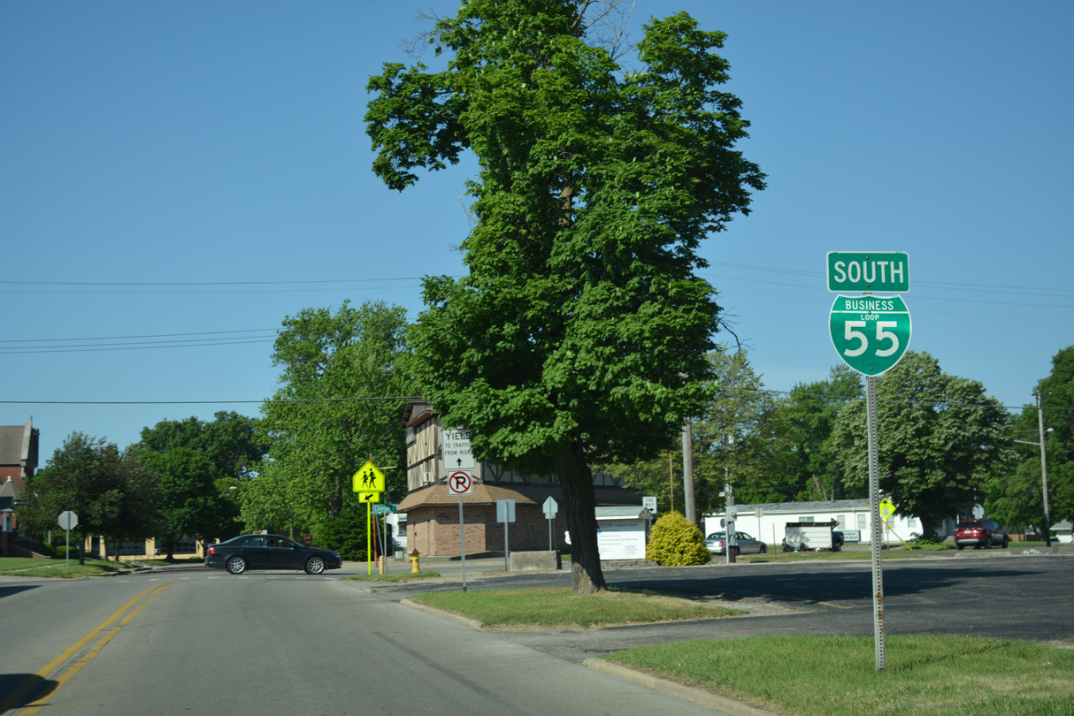
Business Loop I-55 south concludes at the loop ramp joining Interstate 55 south to Springfield and St. Louis, Missouri.
05/24/18
- Postville Courthouse - Welcome.
http://www.illinoishistory.gov/hs/postville_courthouse.htmIllinois Historic Preservation Agency. - "IDOT to replace Salt Creek Bridge." The Courier (Lincoln), July 15, 2013.
Photo Credits:
05/06/10, 05/24/18 by AARoads
Connect with:
Interstate 55
Page Updated 01-15-2024.