
Originating in southeast Sikeston, Interstate 57 travels 22.19 miles east northeast in Missouri. The freeway extends eastward from an expressway taking U.S. 60 across the south side of Sikeston in Scott County. Crossing into Mississippi County, I-57/U.S. 60 trend northward to Bertrand. U.S. 62 parallels the pair east into Charleston, where Business Loop I-57 coincides with Route 105 (S Main Street) and U.S. 62/Route 77 (E Marshall Street) between Exits 10 and 12.
Overlapping with U.S. 62 to Wilson City and Wyatt, U.S. 60 branches east from I-57 in Charleston. I-57 angles northeast from there across the Mississippi River at Cairo, Illinois.
Future plans extend Interstate 57 west from Sikeston to Poplar Bluff along U.S. 60 and south along U.S. 67 to Little Rock, Arkansas.
Interstate 57 Missouri Guides
  scenes scenes |
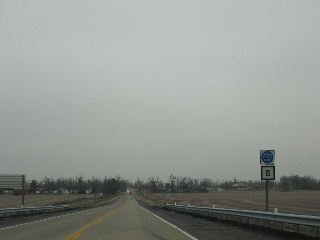
 | Route B north at the southbound entrance ramp for I-57/U.S. 60. Interstate 57 ends 4.6 miles to the west. 12/20/09 |
 | Confirming marker for Route B posted north of the diamond interchange (Exit 4) with I-57/U.S. 60. 12/20/09 |
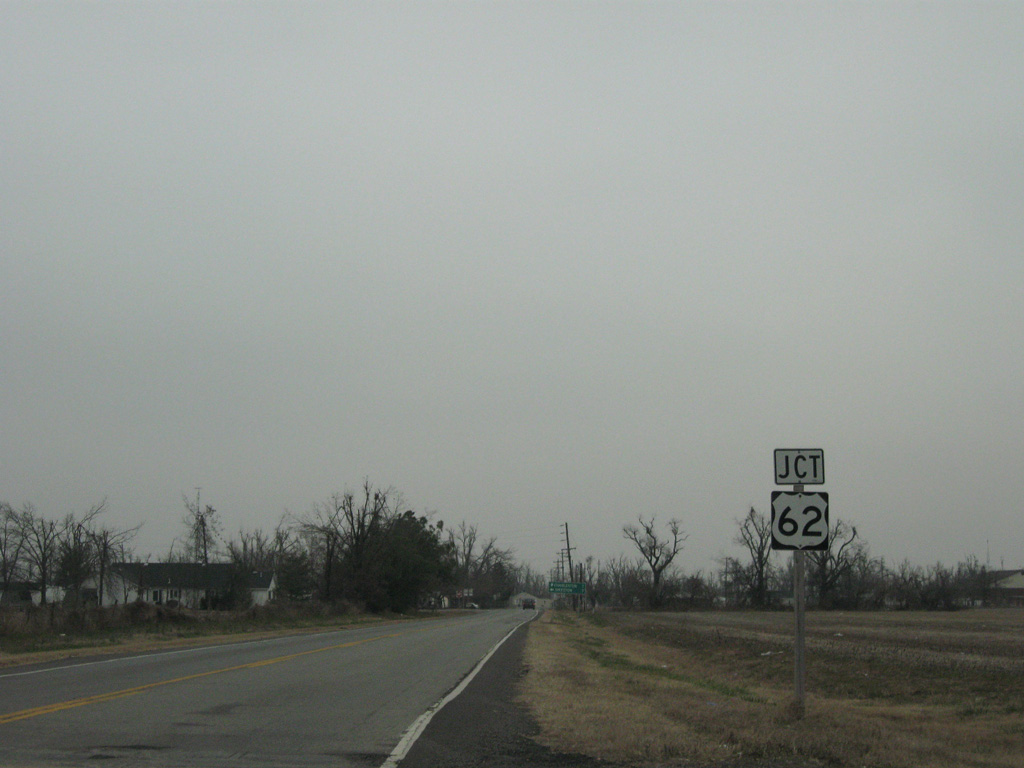 | Route B links I-57/U.S. 60 with parallel U.S. 62 at the city of Bertrand. 12/20/09 |
 | Route B heads 0.315 miles south from U.S. 62 and the city of Bertrand to meet I-57/U.S. 60 at Exit 4. 12/20/09 |
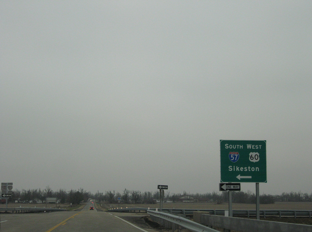
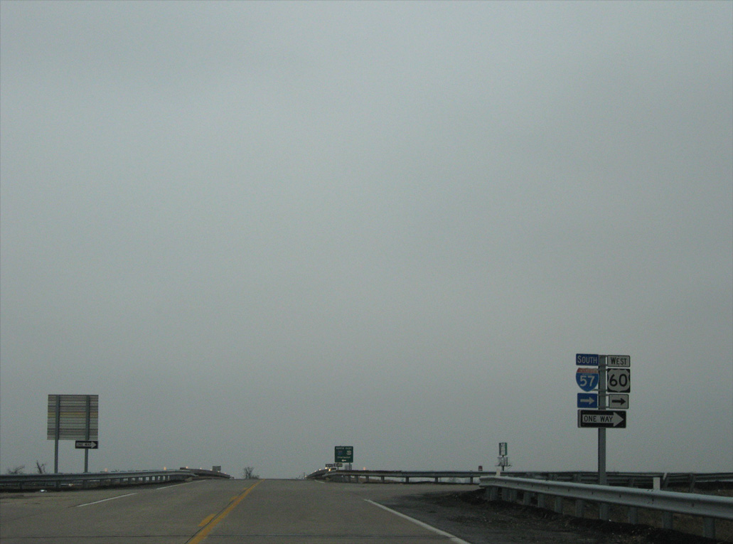 | I-57/U.S. 60 overlap west from Charleston to Interstate 55 at Sikeston. 12/20/09 |
Photo Credits:
12/20/09 by AARoads
Connect with:
Interstate 55
Page Updated 10-31-2023.