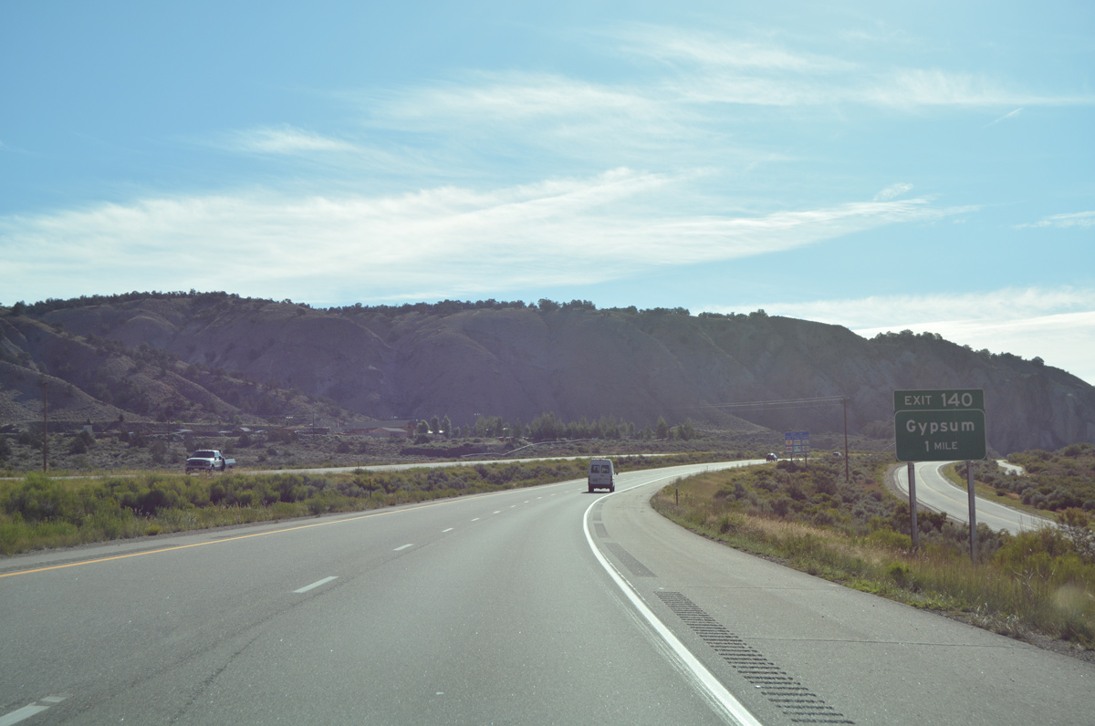
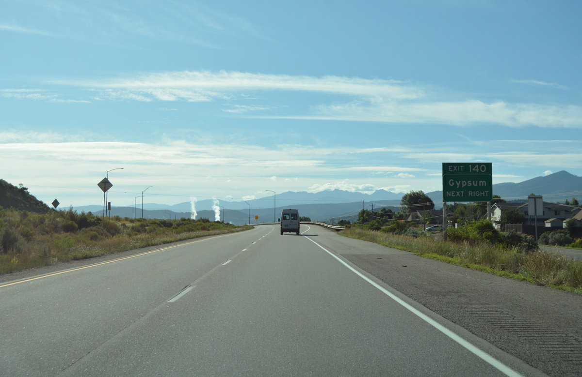
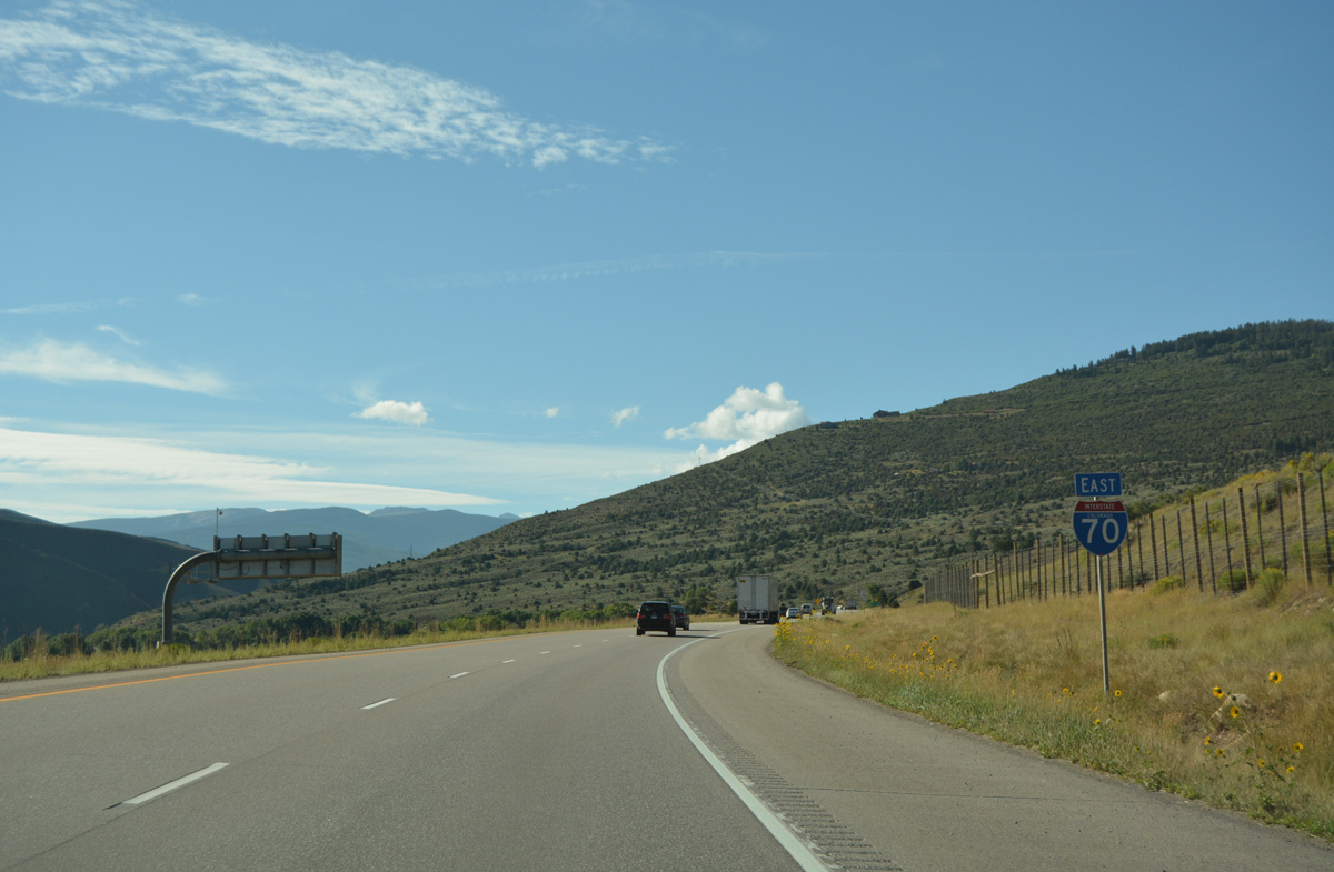
Interstate 70 east from the exchange (Exit 140) with U.S. 6 (Route 006N) at the town of Gypsum. 08/15/13
|
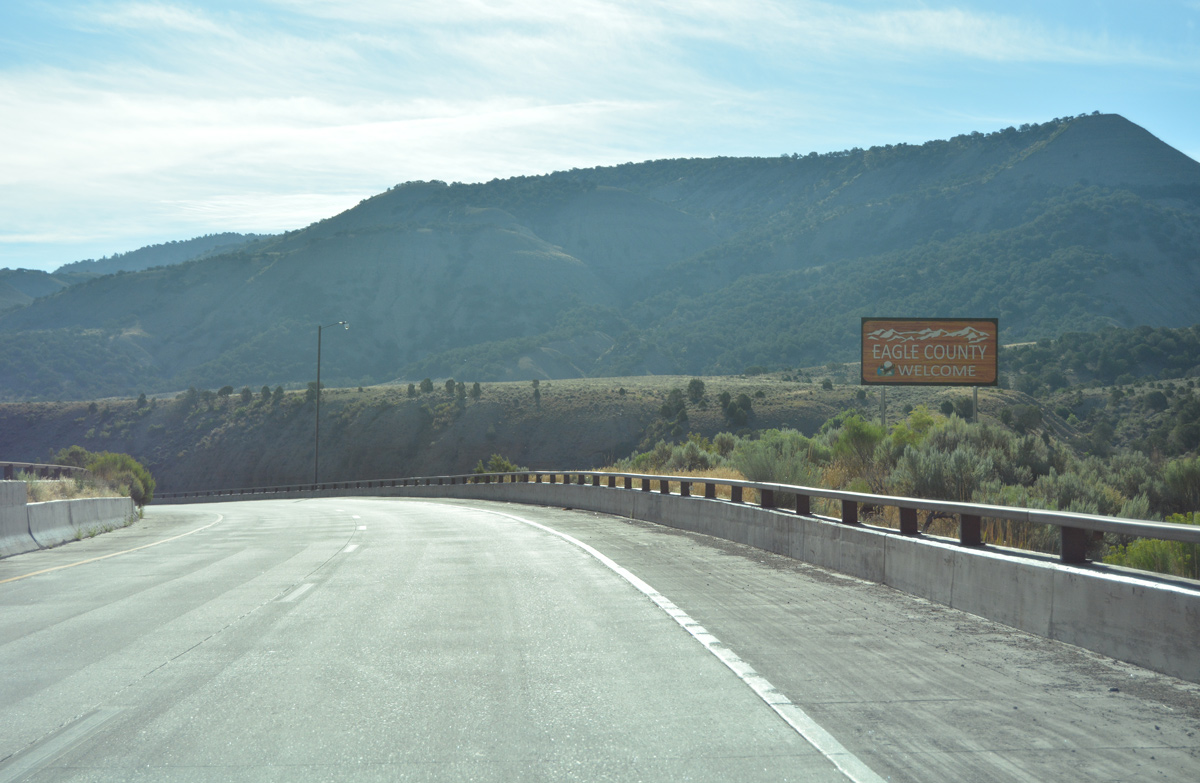
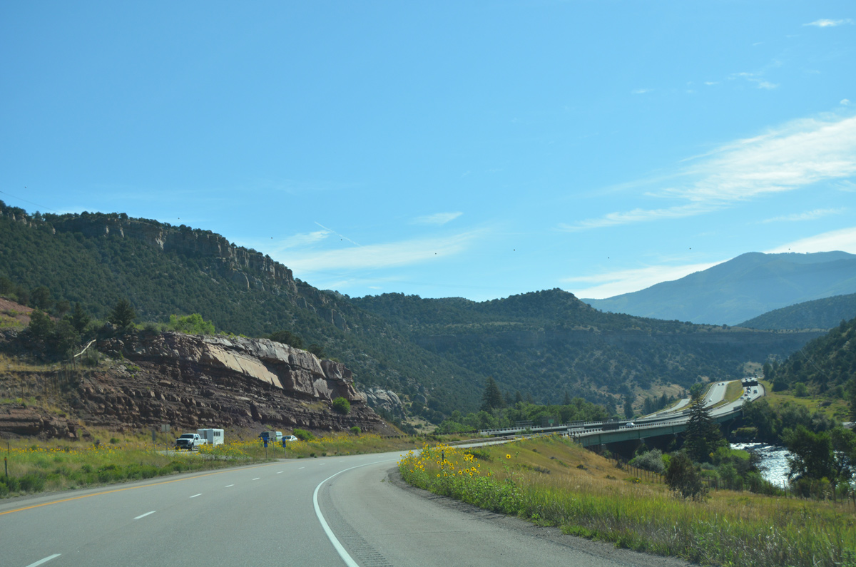
| Welcome to Eagle County sign posted at the viaduct over the Glenwood Canyon multiuse path. Eagle County is home to a wide variety of ski resorts such as Beaver Creek and Vail. In addition to winter sports, the county is also a well known spot for hiking, fly fishing, and camping due to the proximity of the White River National Forest. 08/11/16 |
|
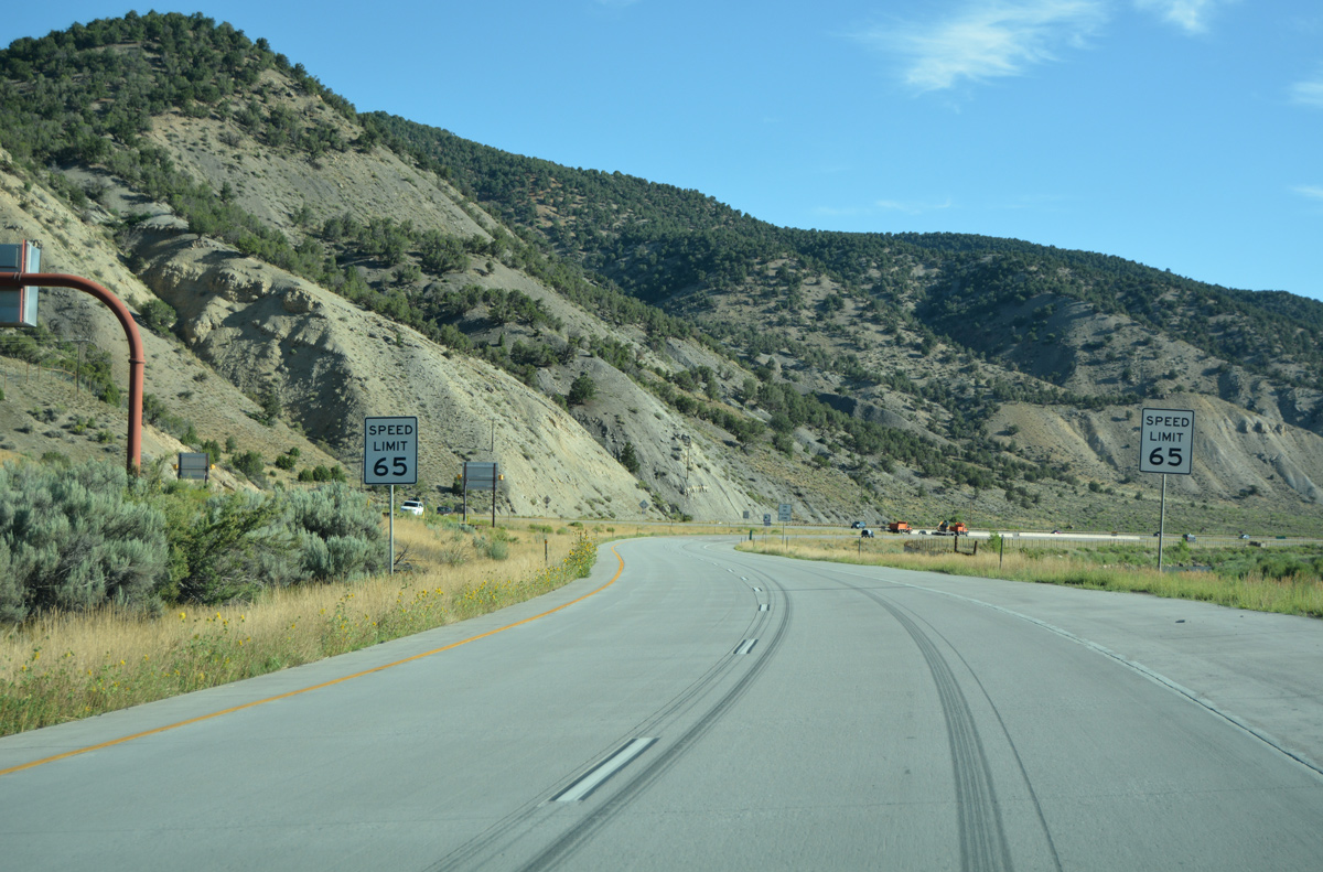
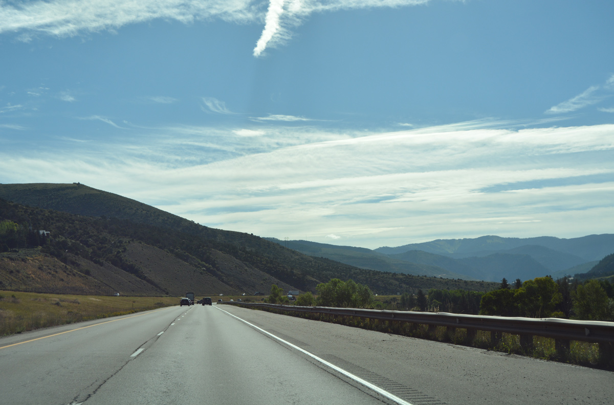
| With the wider Colorado River valley, straighter road, more sight distance, the speed limit for Interstate 70 increases to 65 miles per hour. 08/11/16 |
|
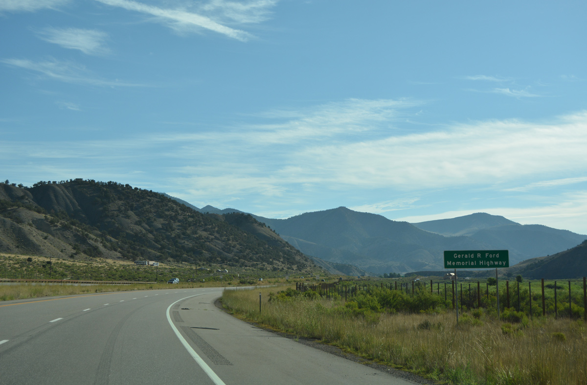
| Interstate 70 through Eagle County honors the 38th President of the United States. Gerald R. Ford frequently visited Vail Valley, helping gain the area worldwide recognition. State legislature renamed I-70 in his honor in 2007.1 08/11/16 |
|
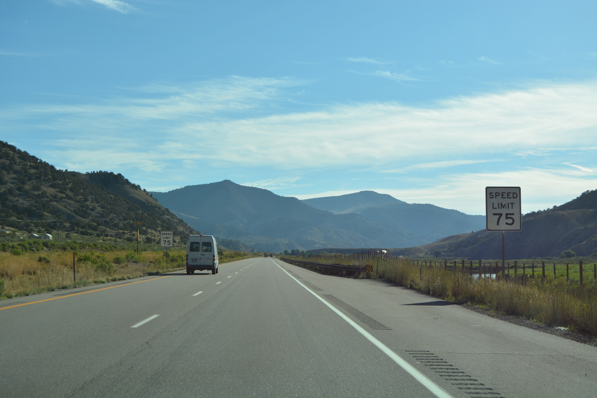
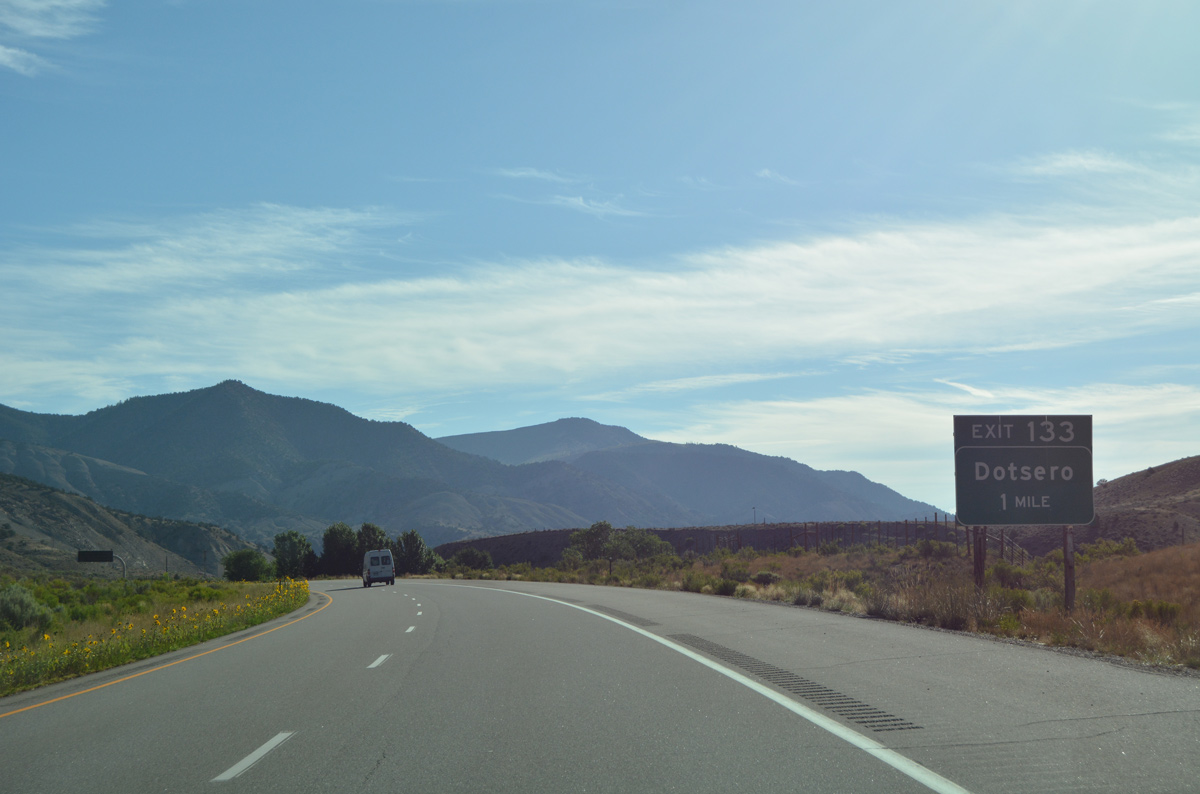
| Speed limits further increase to 75 miles per hour along Interstate 70 east. Blowout Hill and Dotsero Crater appear on the eastern horizon. 08/11/16 |
|
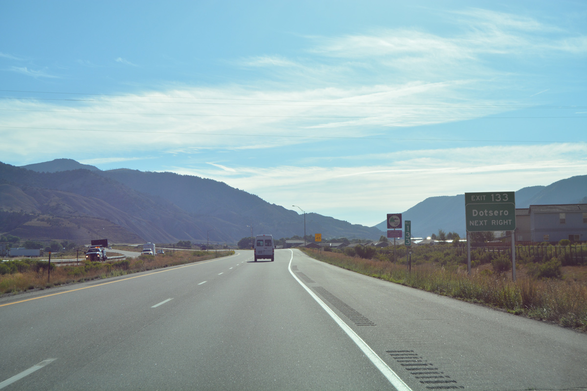
| The first Eagle County exit is the split diamond interchange (Exit 133) with old Highway 6-24 at Dotsero. Dotsero lies at the confluence of the Eagle and Colorado Rivers. 08/11/16 |
|
| Exit 133 leaves I-70/U.S. 6 east for Dotsero. Colorado River Road stems north from old Highway 6-24 to Burns and SH 131 at McCoy. Old Highway 6-24 provides return access to I-70 east across the departing Colorado River. 08/11/16 |
|
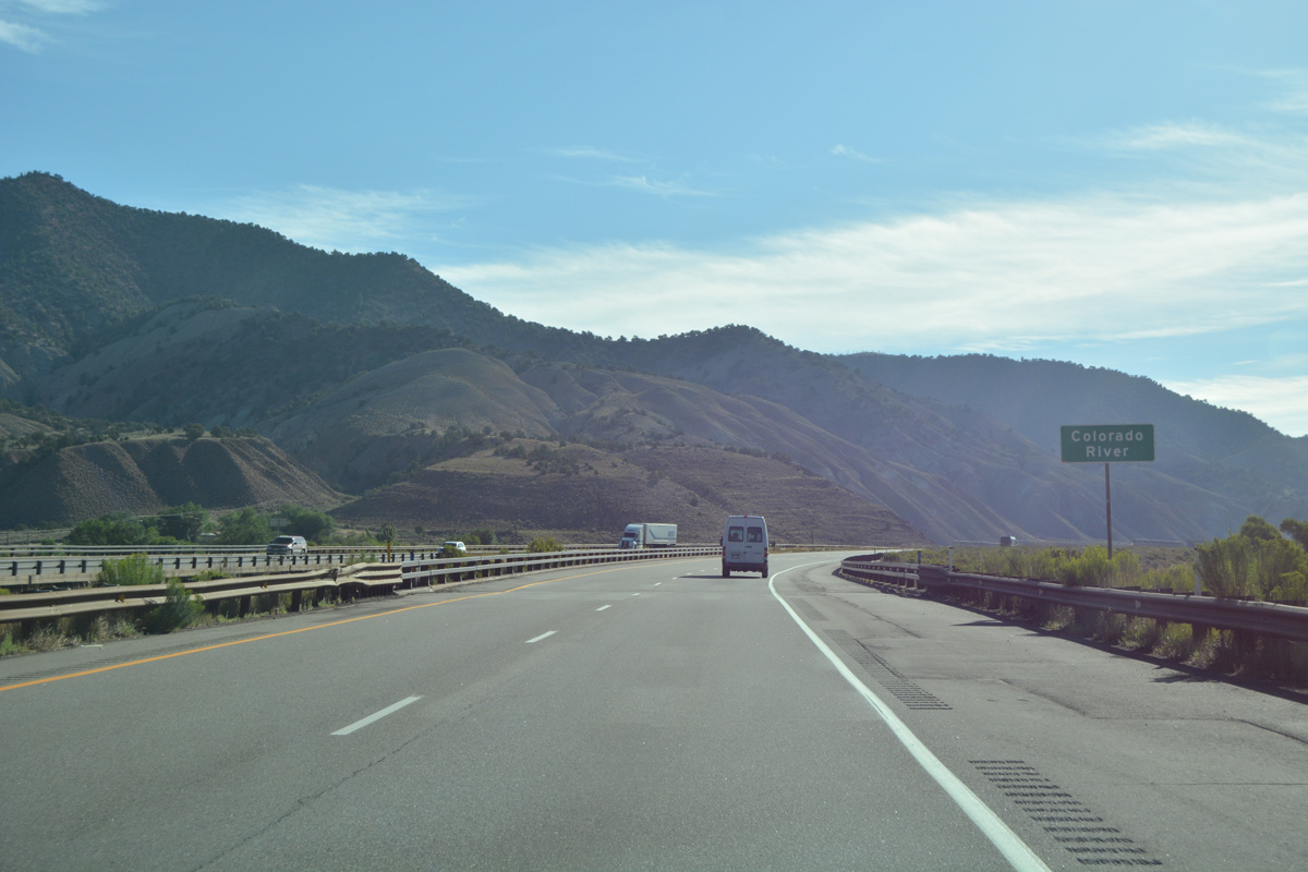
| I-70/U.S. 6 span the Colorado River for the final time at Dotsero. The river headwaters are located in Rocky Mountain National Park, a good distance to the northeast. 08/11/16 |
|
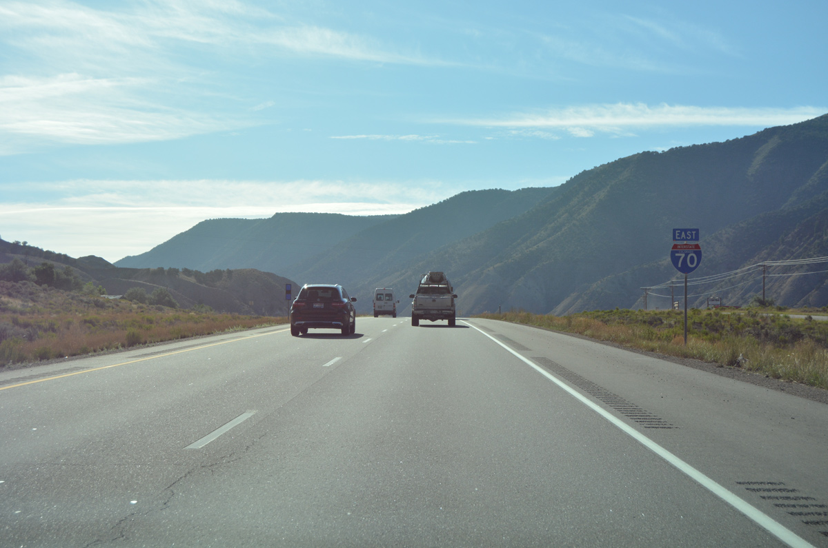
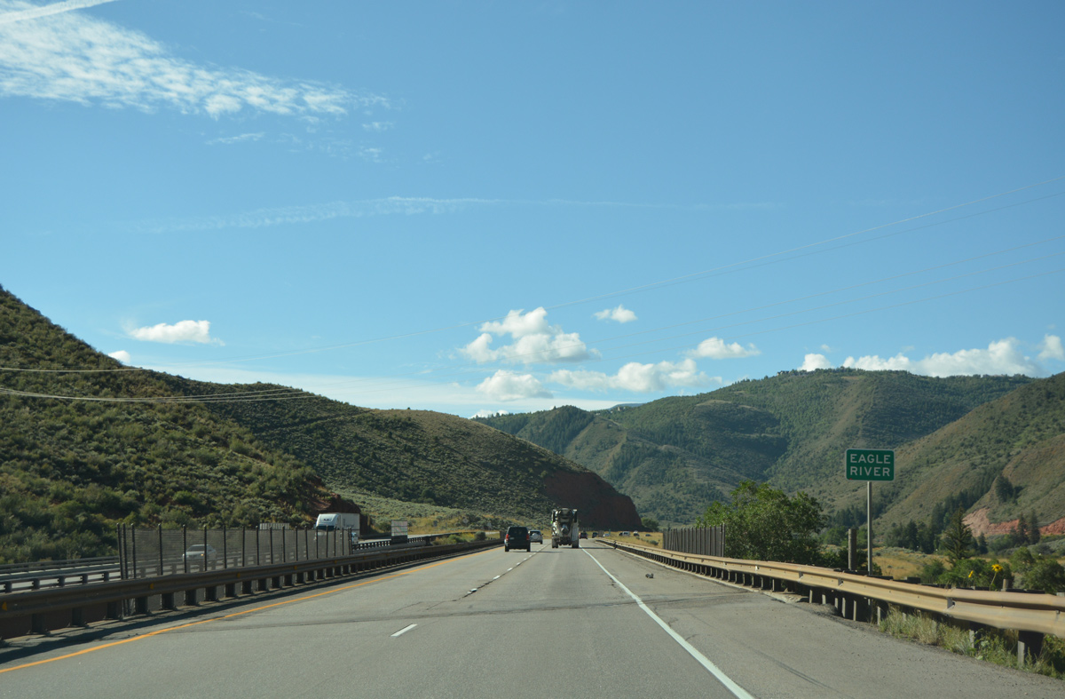
| Interstate 70 accompanies the Eagle River east from the Colorado River to milepost 171 and Dowds Junction. 08/11/16 |
|
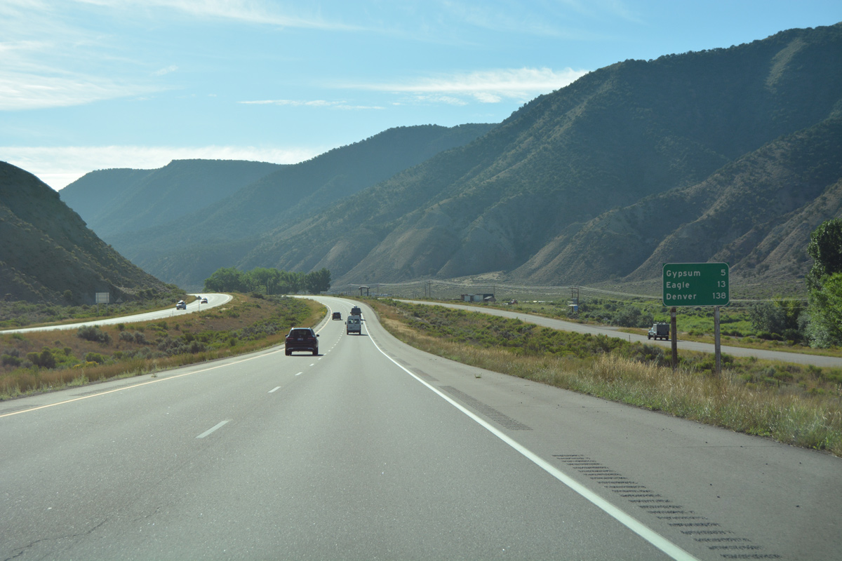
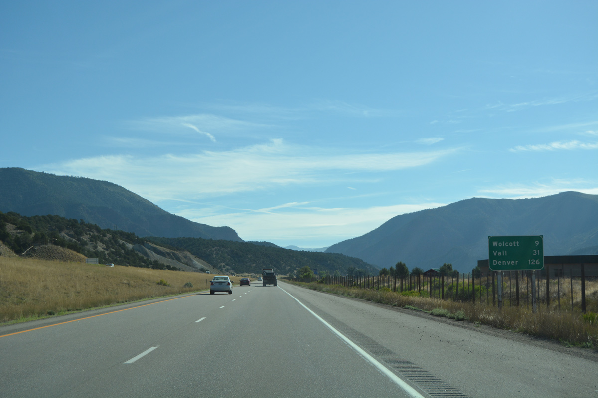
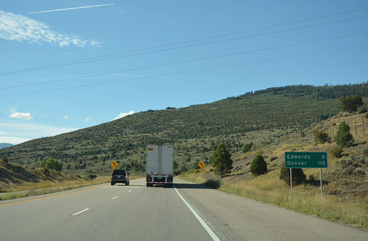
| Advancing east, I-70/U.S. 6 reach the town of Gypsum in five miles and the county seat of Eagle in 13 miles. Denver is 138 miles away. 08/11/16 |
|
| Old Highway 6-24 shifts to the south side of Interstate 70 from Exit 133 to west Gypsum. 08/11/16 |
|
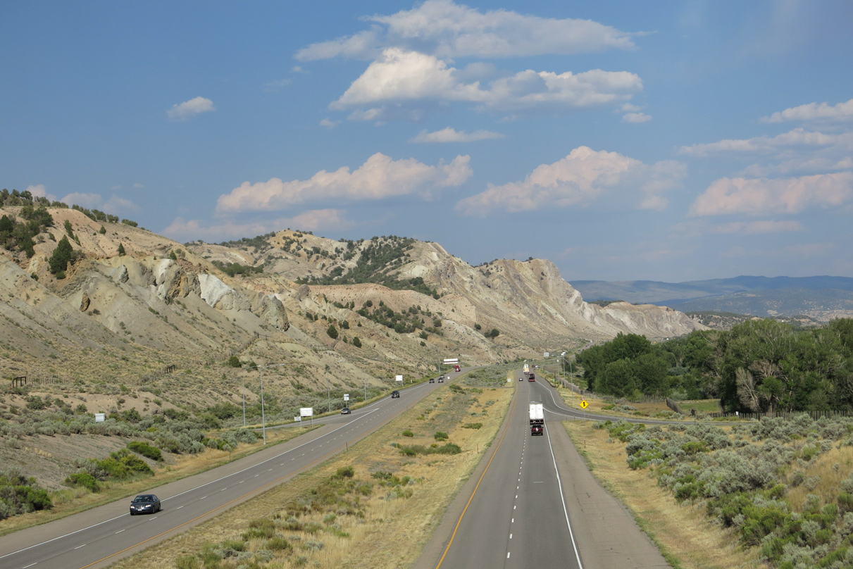
| 17,000 vehicles per day (vpd) were recorded along I-70/U.S. 6 between Dotsero and Gypsum by CDOT in 2015. Semi trucks represented nearly 13% of the total. 08/11/16 |
|
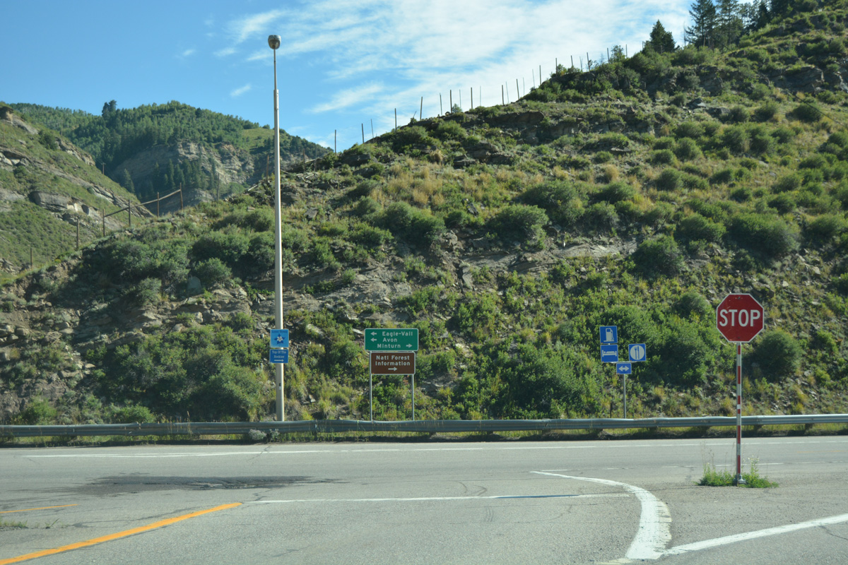
| U.S. 6 splits with Interstate 70 at the lone interchange (Exit 140) for Gypsum in one mile. U.S. 6 follows the original alignment of U.S. 6-24 through the heart of Eagle County, rejoining I-70 at Exit 171. The two routes previously separated at Exit 109 / New Castle. 08/11/16 |
|
| Entering the diamond interchange (Exit 140) with Trail Gulch Road north and U.S. 6 (Route 006E) east on I-70 east. U.S. 6 winds east through a commercial strip beyond Valley Road to connect I-70 with Eagle County Regional Airport (EGE). 08/11/16 |
|
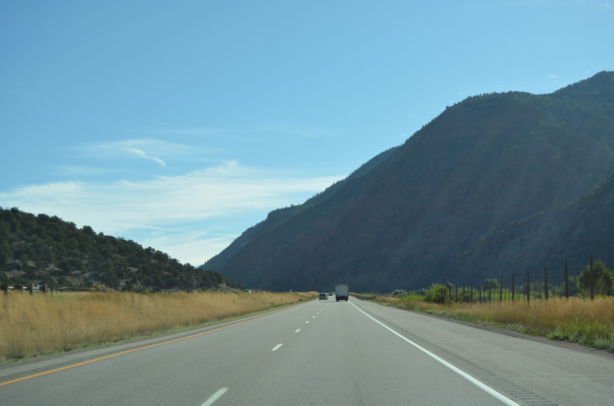
| Interstate 70 straddles the north side of the Eagle River sandwiched between the adjacent hill side to milepost 143. 08/11/16 |
|
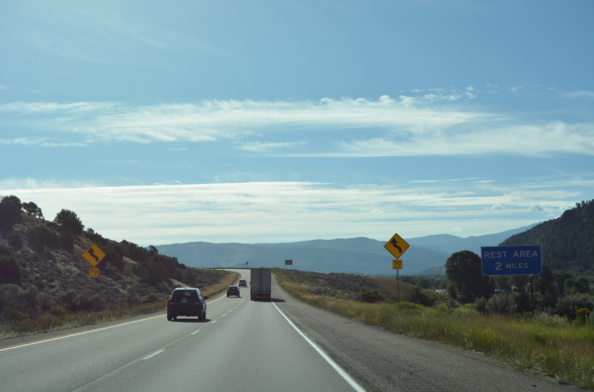
| A wide median separates the roadways of Interstate 70 east of Cottonwood Creek. 08/11/16 |
|
| Another in the series of off freeway rest areas for I-70 lies two miles ahead at Exit 147. 08/11/16 |
|
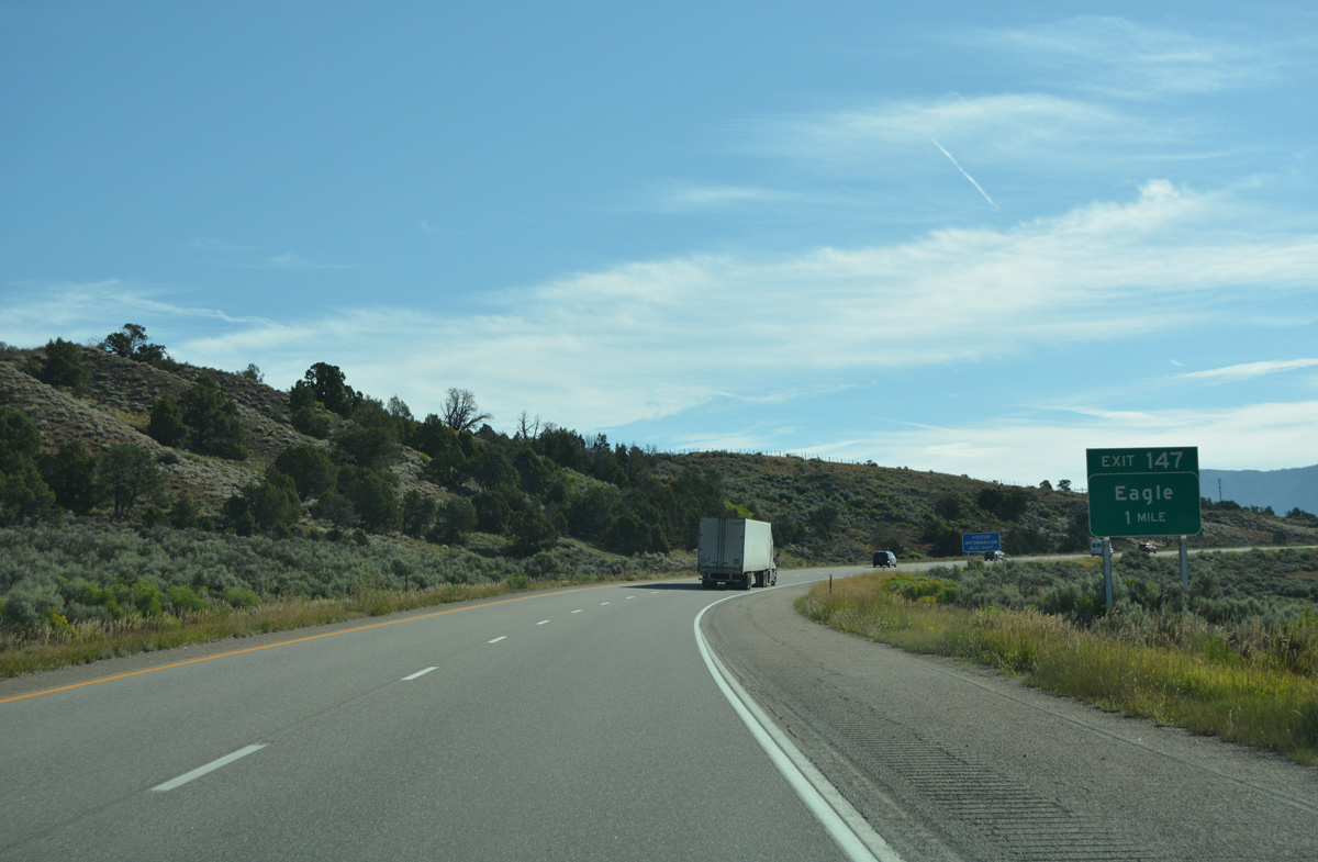
| Exit 147 connects Interstate 70 with unsigned Business Spur I-70 (Route 070F) south to U.S. 6 (Grand Avenue). 08/11/16 |
|
| The rest area off Exit 147 includes a tourist information center for Eagle. The facility is located just west of Business Spur I-70 (Eby Creek Road) on Chambers Avenue. 08/11/16 |
|
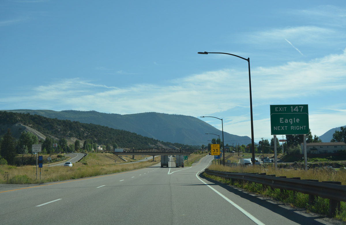
| A dumbbell interchange links Interstate 70 with Business Spur I-70 south to Downtown Eagle and Eby Creek Road north to suburban development beyond the town line. 08/11/16 |
|
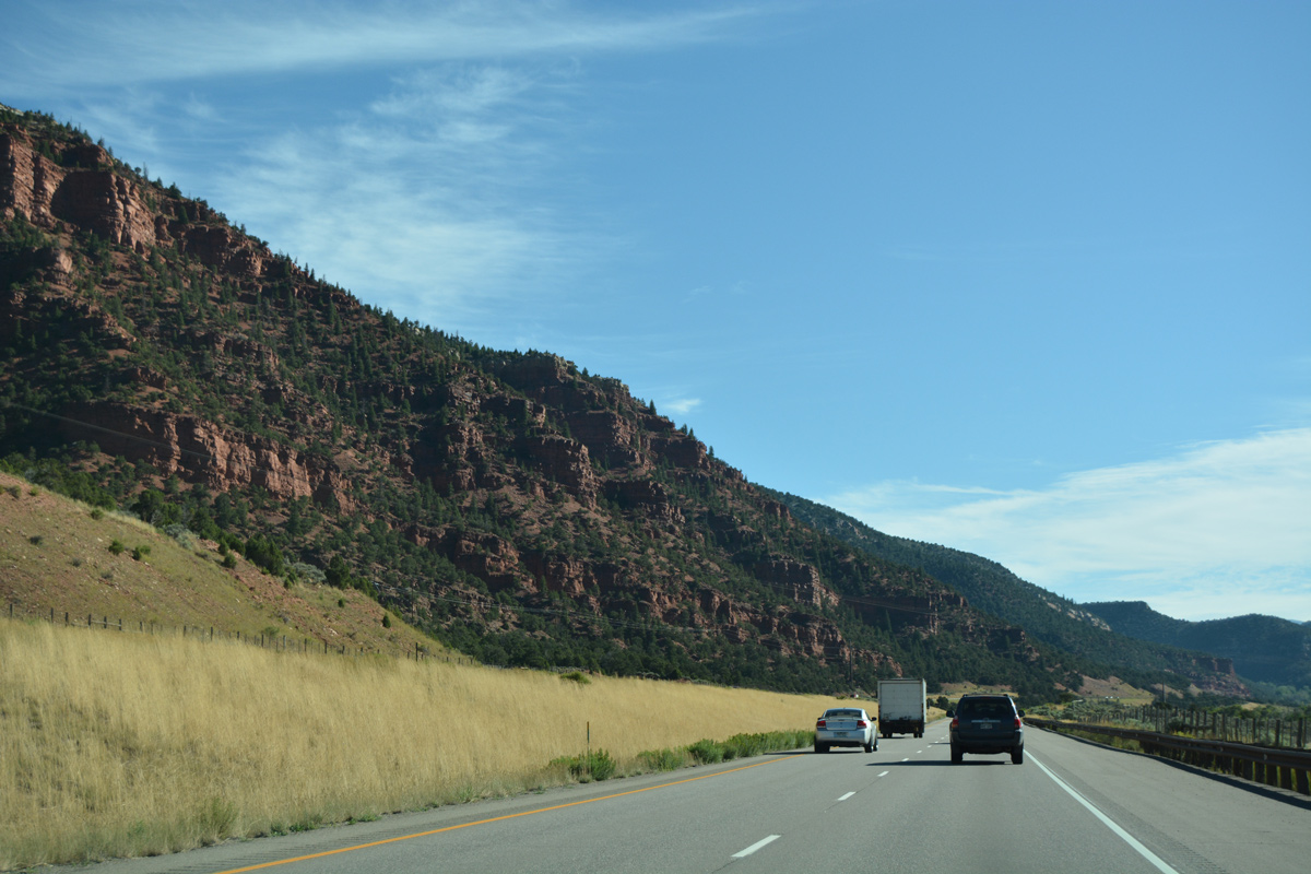
| Interstate 70 leaves the town of Eagle between Rule Road and an industrial park ahead of Red Canyon. 08/11/16 |
|
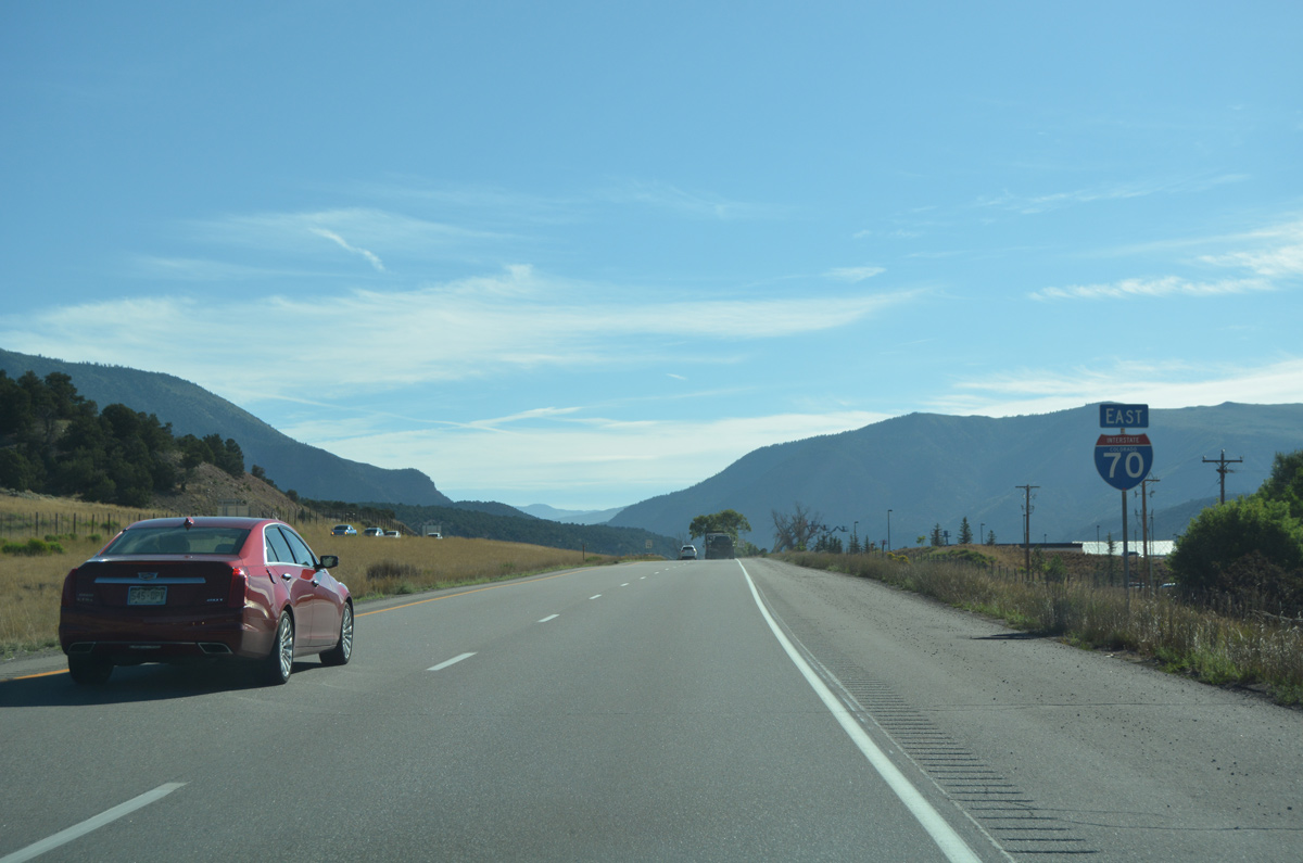
| The ski resort town of Vail debuts on eastbound distance signs at 31 miles out. I-70 arrives at the Mile City of Denver in 126 miles. 08/11/16 |
|
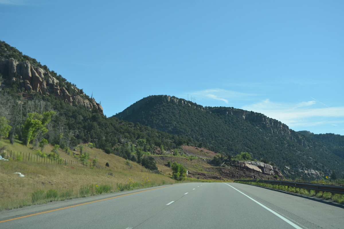
| Steadily gaining elevation, I-70 shifts northward along the course of the Eagle River by Bellyache Ridge. 08/11/16 |
|
| A wide median ensues along I-70 south of Hells Pocket and north of the adjacent Union Pacific Railroad and U.S. 6. 08/11/16 |
|
| Interstate 70 switches sides with the Eagle River south of Bocoo Mountain. 08/11/16 |
|
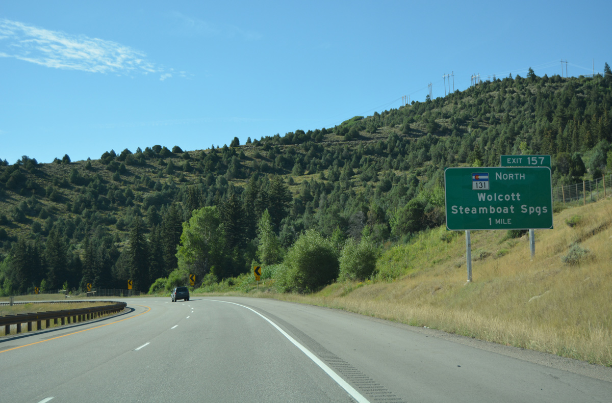
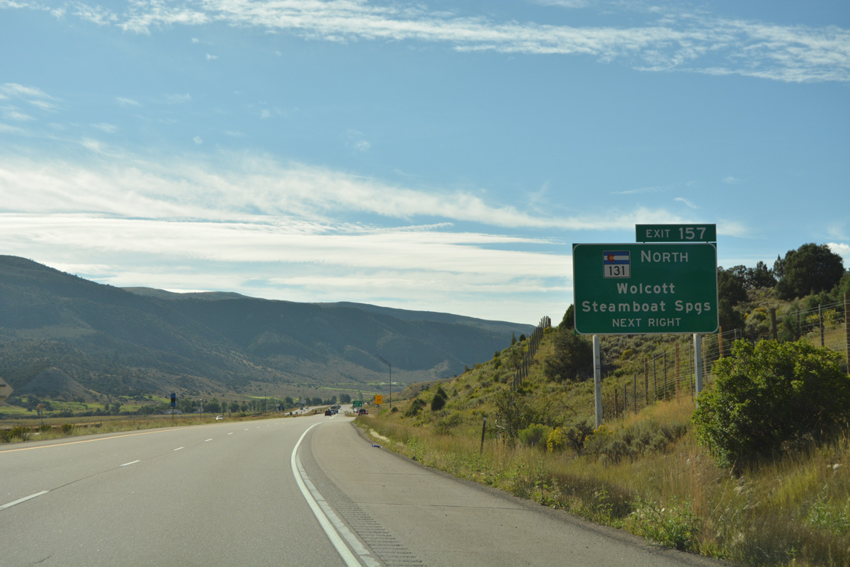
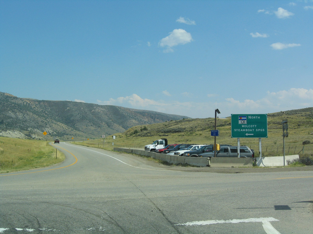
| U.S. 6 runs along the east side of I-70 as both routes turn southeast toward the settlement of Wolcott. A diamond interchange (Exit 157) lies one mile ahead with SH 131. 08/11/16 |
|
| SH 13 commences a 128.07 mile to the Wyoming state line at Exit 157. The state highway winds northward to Bond, McCoy and Yampa to connect with U.S. 40 near Steamboat Springs in 88.6 miles. 08/11/16 |
|
| North from I-70 and Bellyache Road, SH 13 dog legs west alongside U.S. 6 to Wolcott before climbing northward on the 15 mile drive to State Bridge. 08/30/04 |
|
| I-70 east makes another series of S-curves alongside the north slopes of Bellyache Ridge. 08/11/16 |
|
| The unincorporated community of Edwards lies six miles ahead next along I-70 east. Denver is 112 miles further. 08/11/16 |
|
| The freeway spans both the Eagle River and U.S. 6 again ahead of milepost 159. 08/11/16 |
|
| Curing more easterly, I-70 passes by a valley fed by Squaw Creek. 08/11/16 |
|
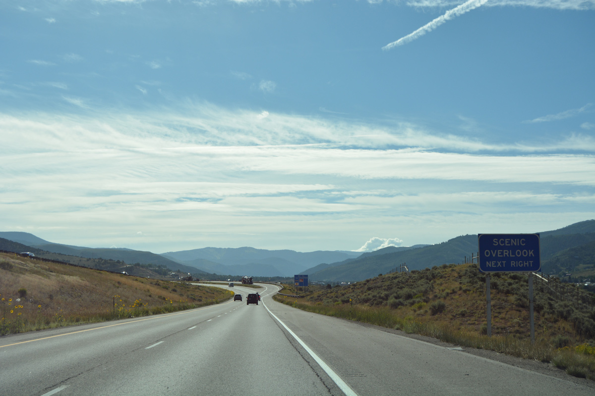
| U.S. 6 stays along the valley floor as Interstate 70 climbs along the hillside to the north to a scenic overlook south of Deadhorse Gulch. 08/11/16 |
|
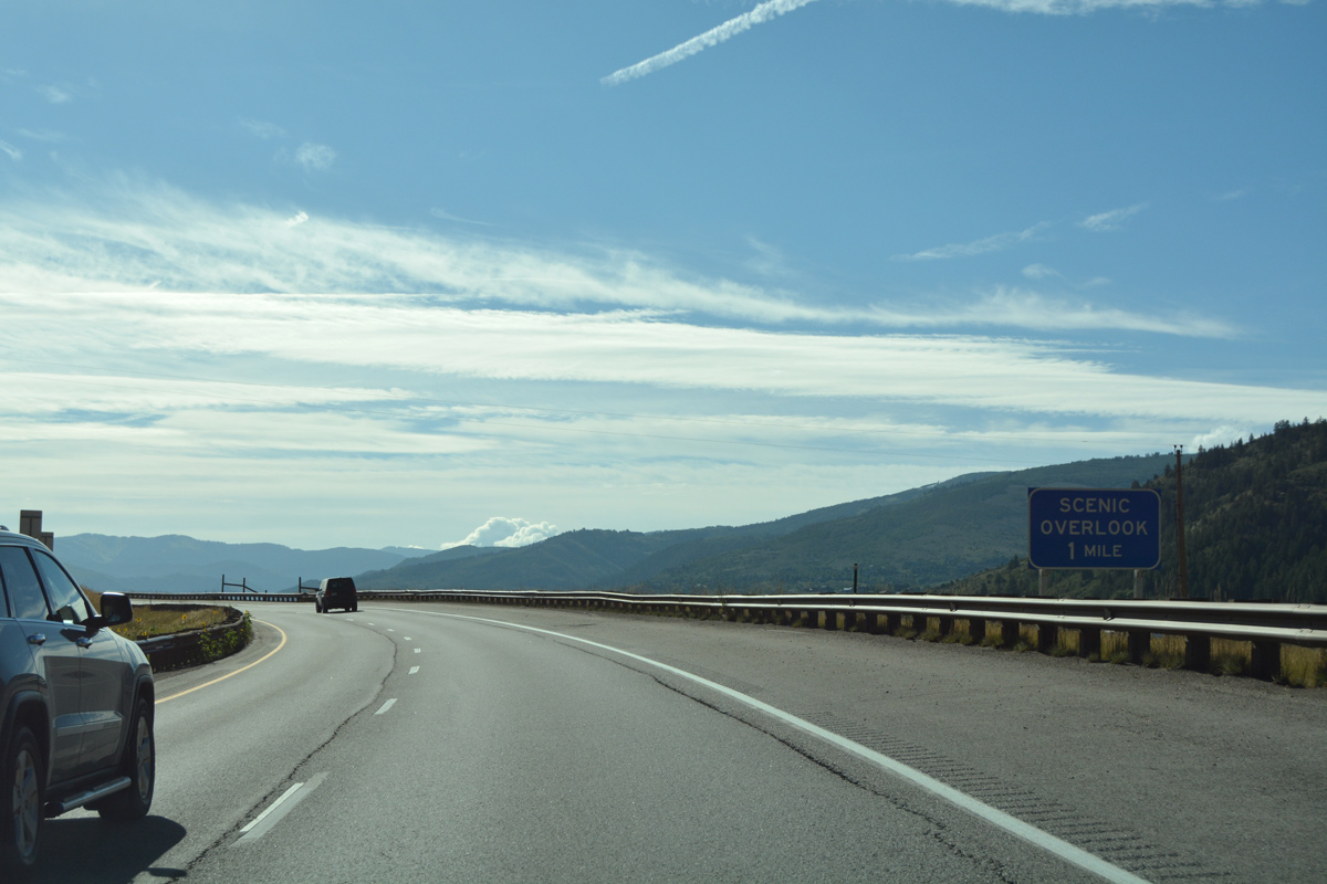
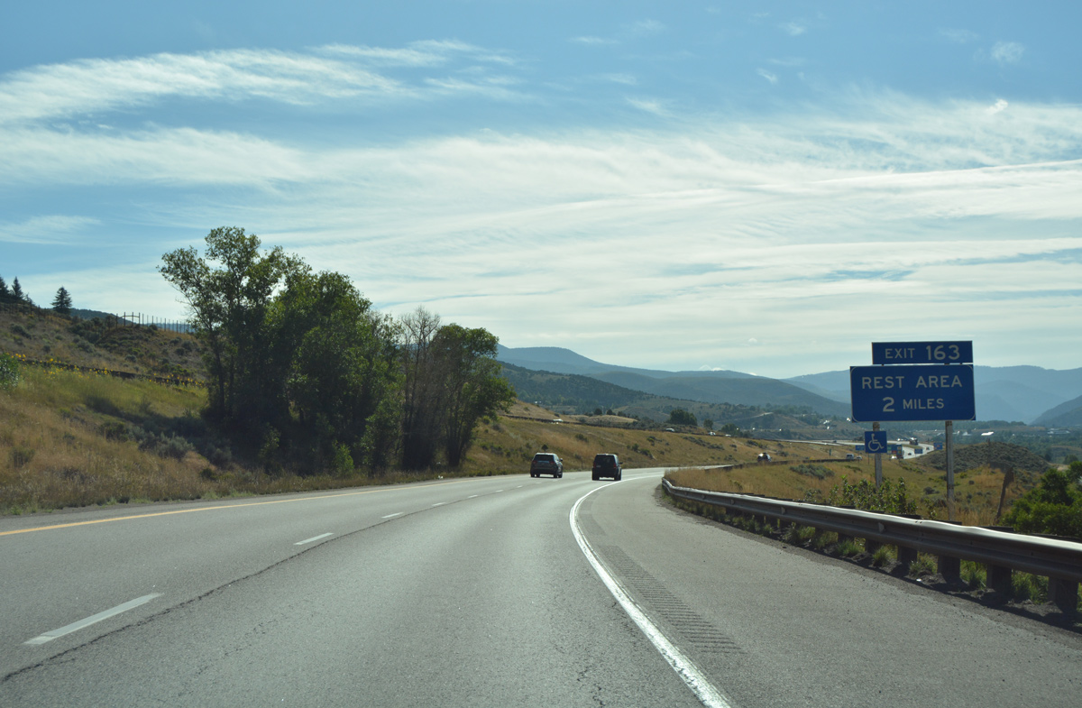
| Edwards is home to an off freeway rest area located a third of a mile south of upcoming Exit 163. 08/11/16 |
|
| Eastbound travelers on I-70 reach the Edwards scenic overlook. 08/11/16 |
|
| Looking south from Interstate 70 at Lake Creek, the Terrace Ridge community and the distant Sawatch Range. 08/11/16 |
|
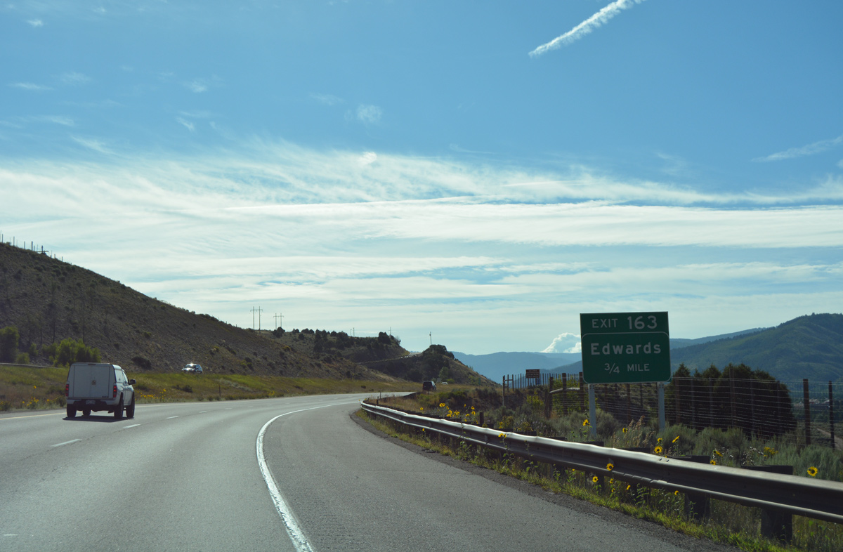
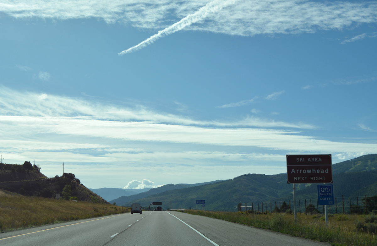
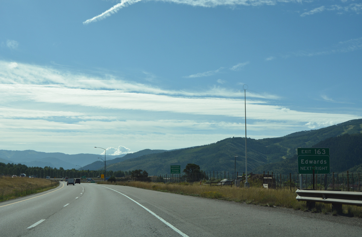
| A dumbbell interchange (Exit 163) connects Interstate 70 with Edwards and the unsigned Business Spur I-70 south to U.S. 6 in one mile. 08/11/16 |
|
| U.S. 6 leads east from the Edwards business spur to the Arrowhead Ski Resort. 08/11/16 |
|
| Exit 163 departs from Interstate 70 east for unsigned Business Spur I-70 (Route 070G). Beard Creek Road ties into the exchange from the north, linking I-70 with nearby golf course communities. 08/11/16 |
|
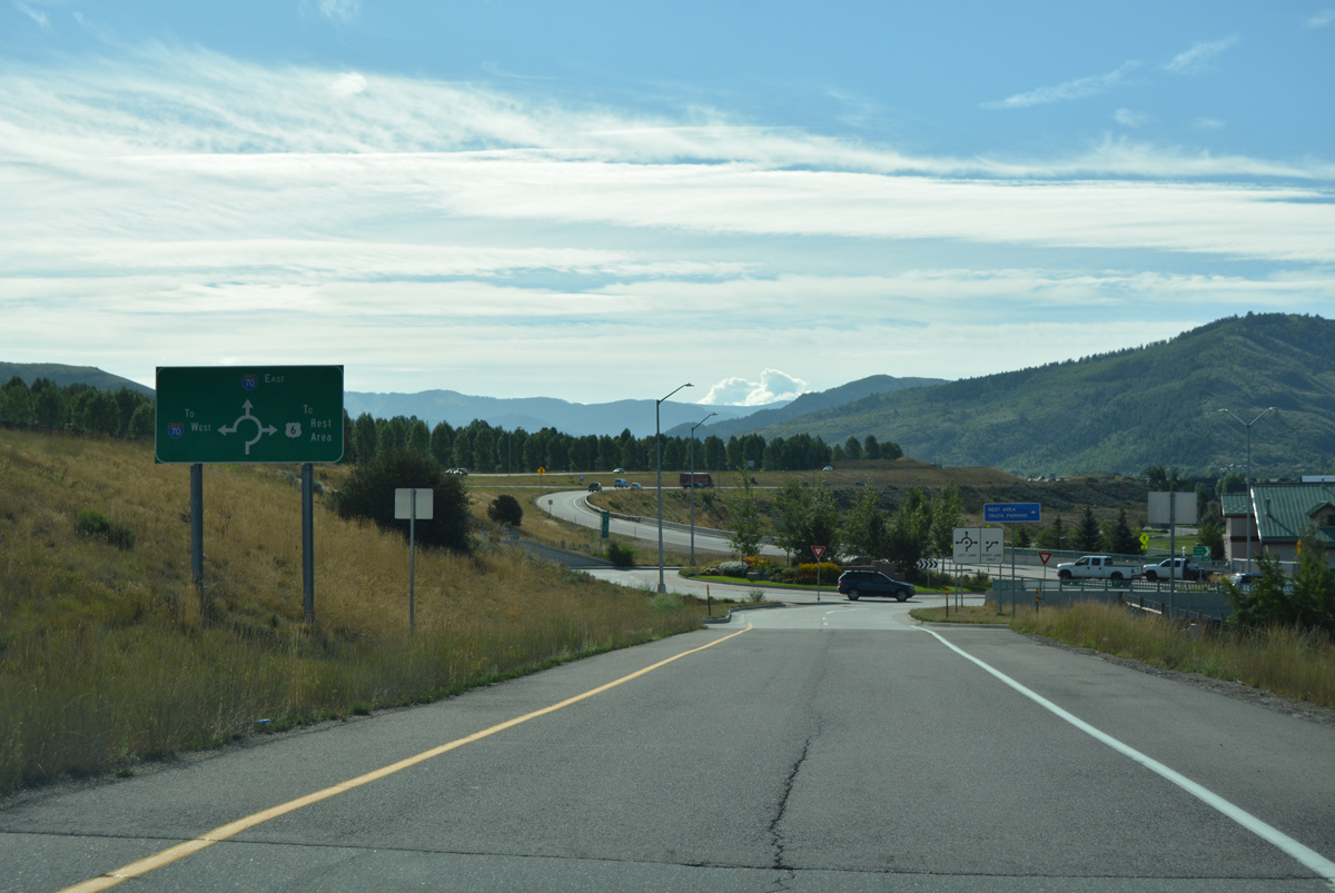
| Lowering on the off-ramp (Exit 163) to the roundabout with Edwards Access Road. An array of traveler services line the business spur to the immediate south by Colorado Mountain College, and again at the south end by U.S. 6. 08/11/16 |
|
| Advancing east, Interstate 70 travels between the campus of Battle Mountain High School and the Singletree community by this reassurance marker. 08/11/16 |
|
| Interstate 70 hugs the north slopes from June Creek east into the town of Avon. 08/11/16 |
|
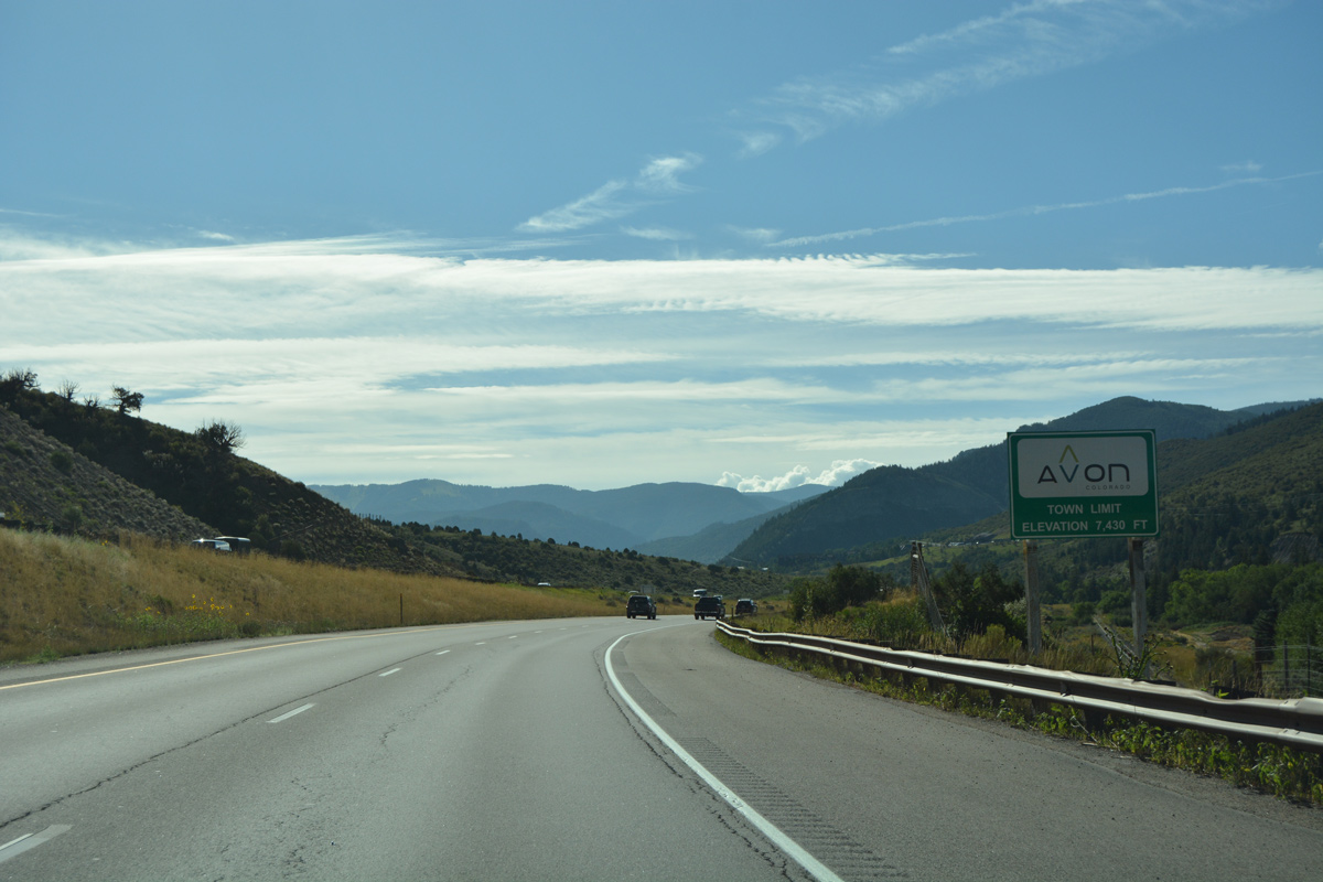
| Avon is situated at 7,430 feet above sea level. Home to over 6,000, the town was incorporated in August 1978. It originated as a rail station in 1889.2 08/11/16 |
|
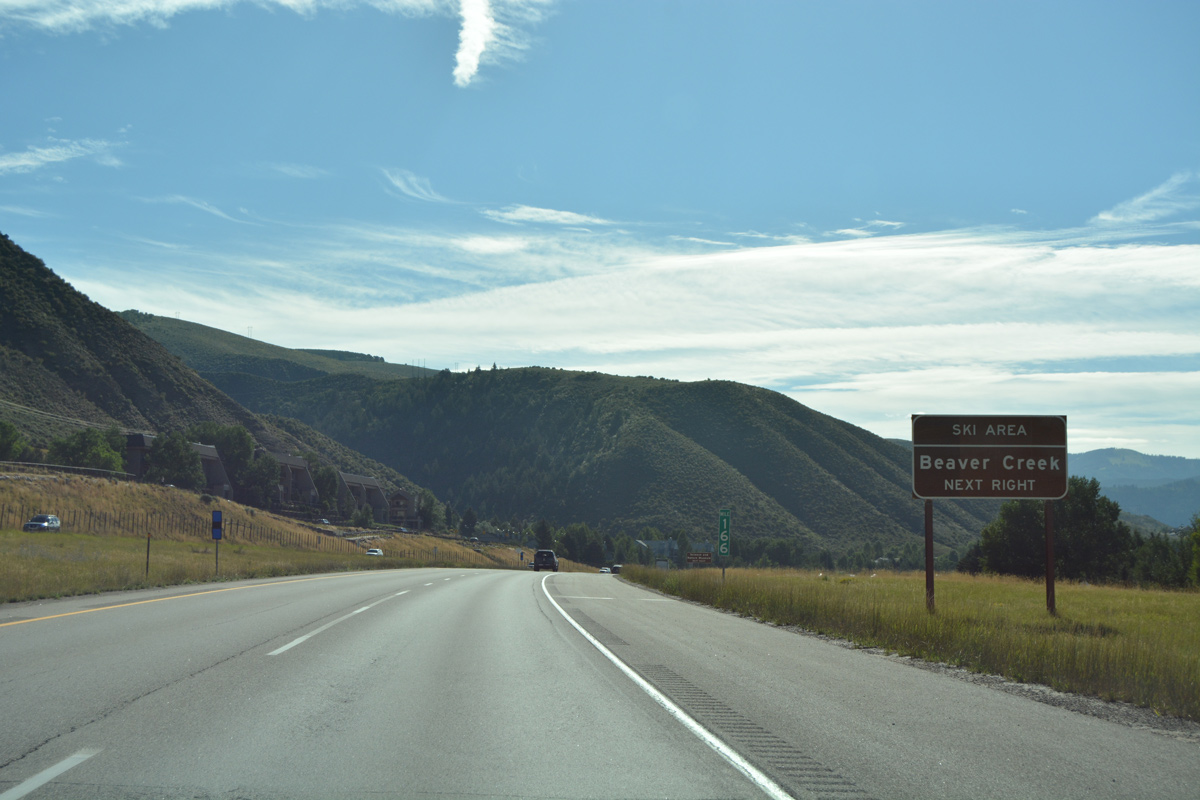
| Beaver Creek Ski Area lies just south of Avon along Prater Road. 08/11/16 |
|
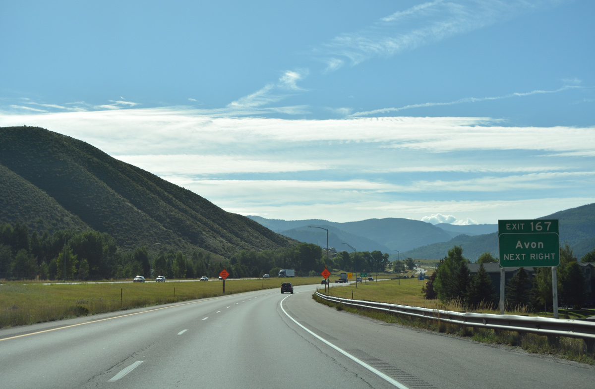
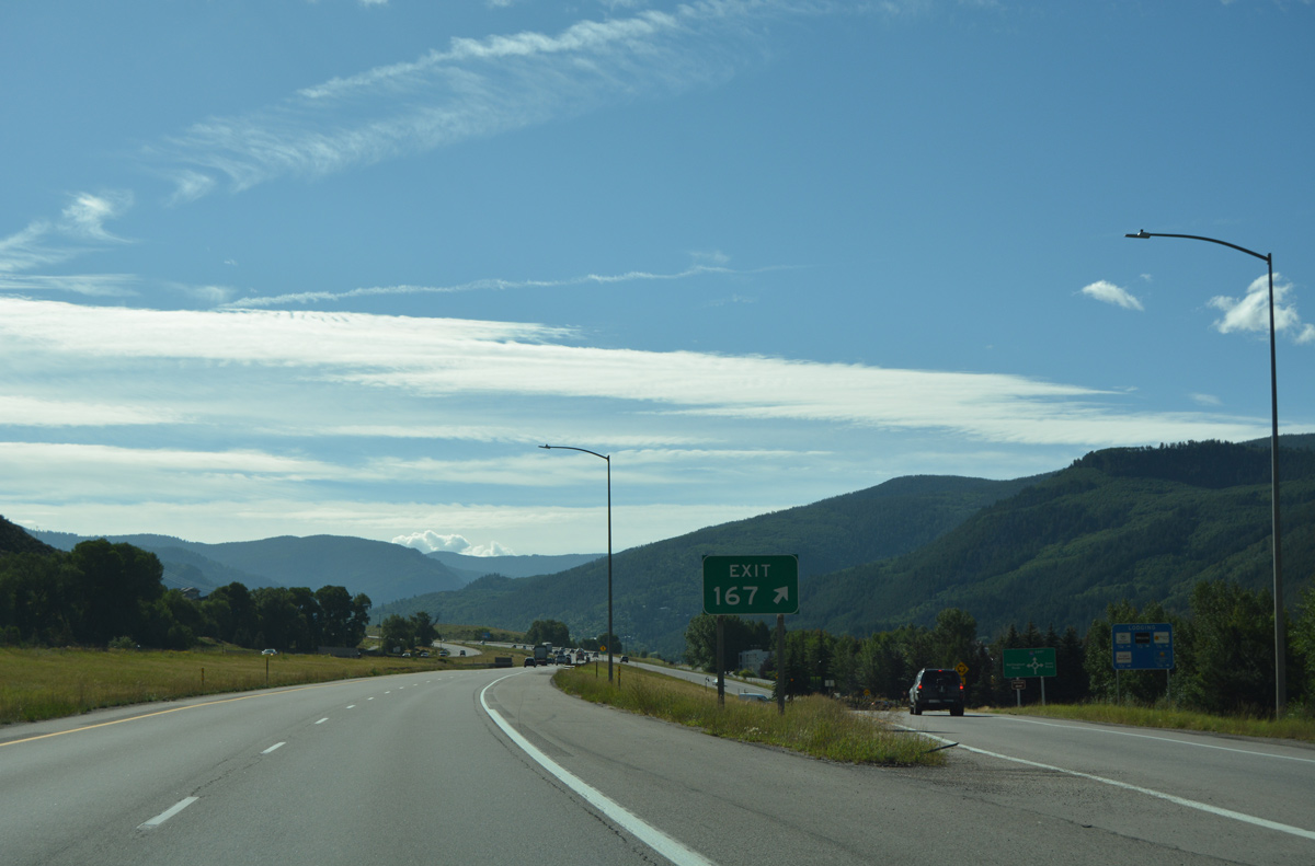
| Exit 167 joins Interstate 70 with Avon Road north to Nottingham and Swift Gulch Roads and south to U.S. 6 in one mile. Prior to 1999, Avon Road doubled as an unsigned Business Spur for I-70. 08/11/16 |
|
| Exit 167 constitutes a dogbone interchange with Avon Road. Avon Road south navigates through three additional roundabouts to U.S. 6 and Village Road. 08/11/16 |
|
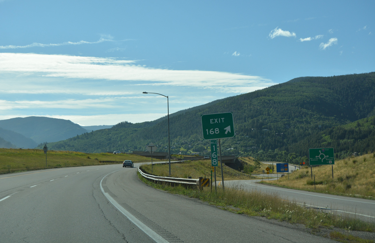
| Continuing east, the second Avon exit joins Interstate 70 with Post Boulevard south and Swift Gulch Road. 08/11/16 |
|
| The dumbbell interchange (Exit 168) with Post Boulevard opened to traffic in early October 2003.3 08/11/16 |
|
| William J. Post Boulevard winds southwest to the Village at Avon big box retail center and U.S. 6. 08/11/16 |
|
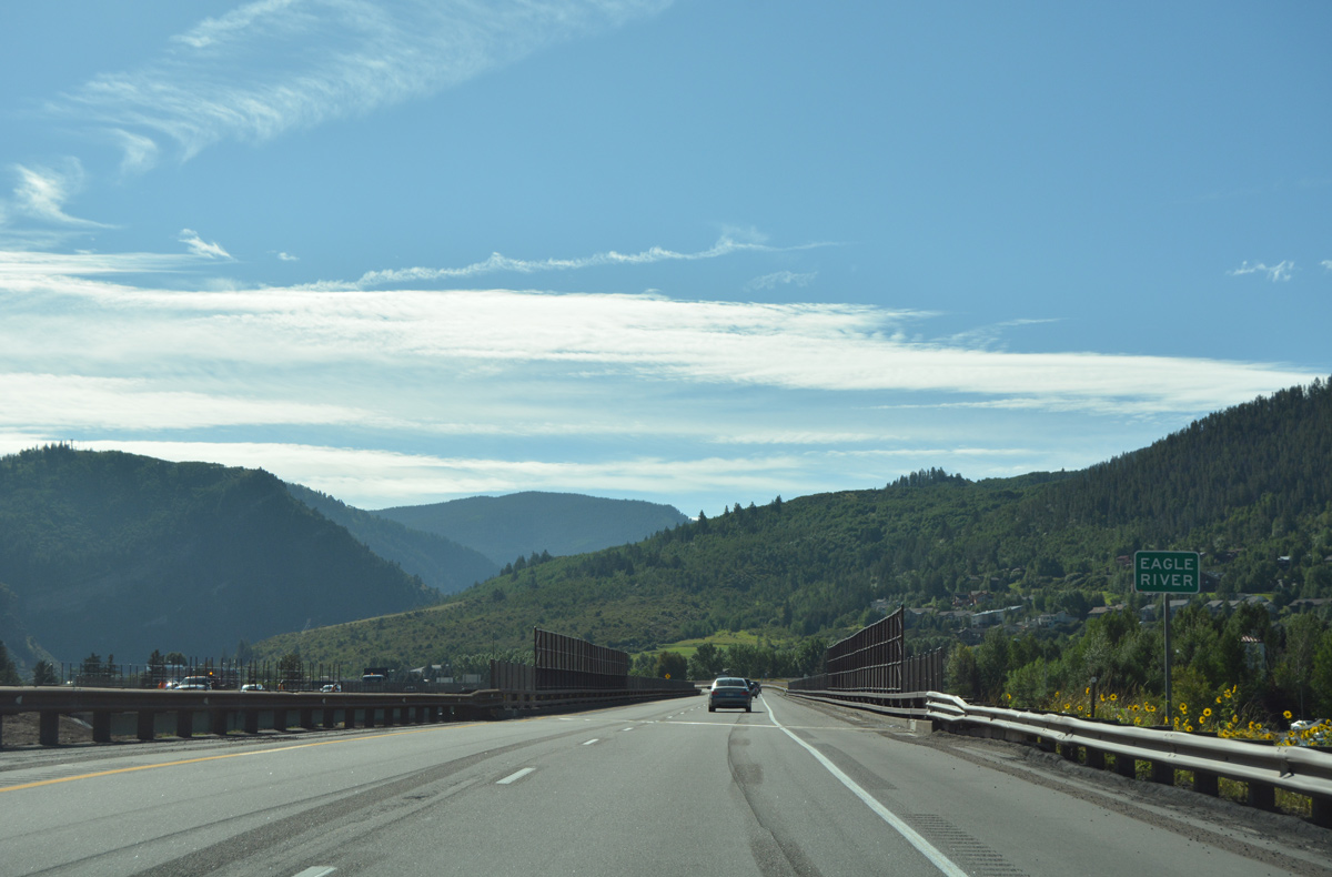
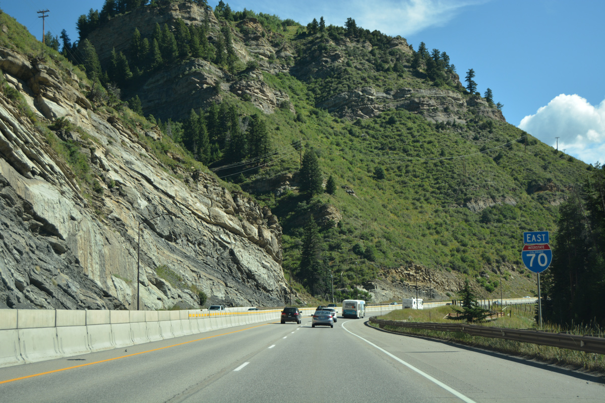
| Interstate 70 again spans the UP Railroad, U.S. 6 and the Eagle River, shifting to the south side of Eagle Valley on a pair of 1972-built bridges. 08/11/16 |
|
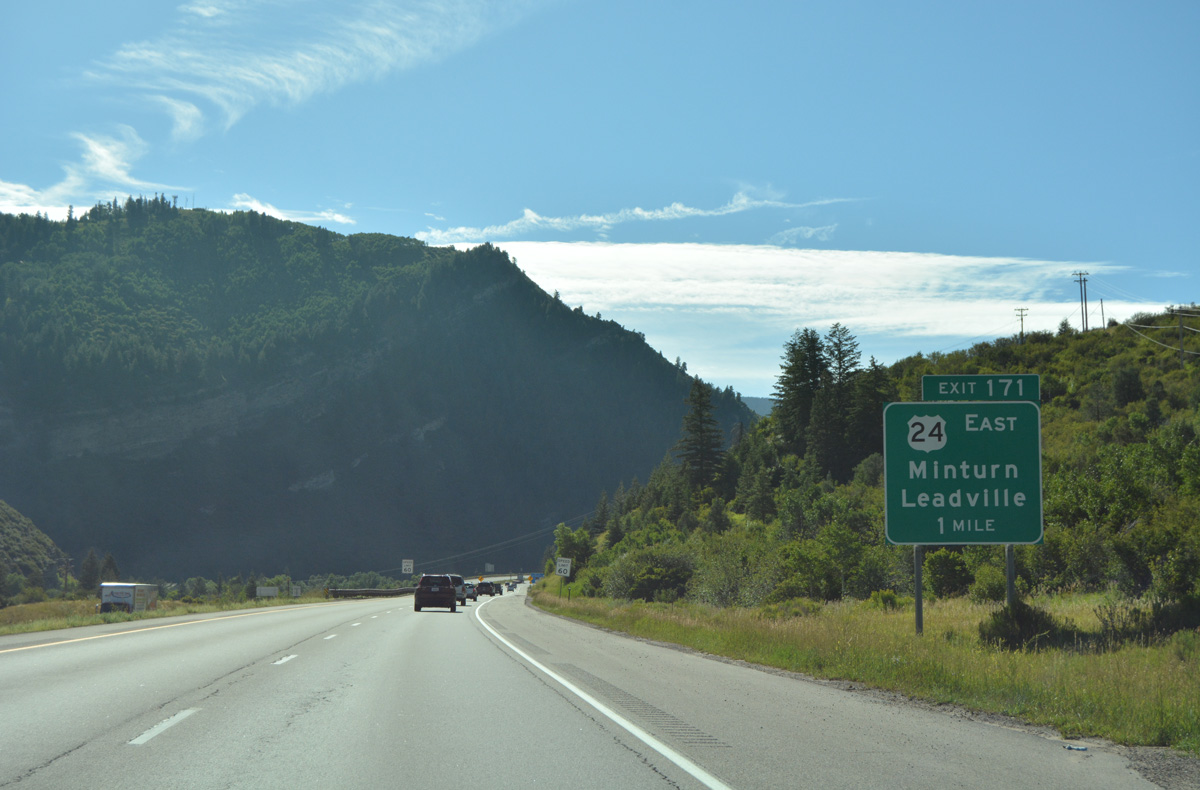
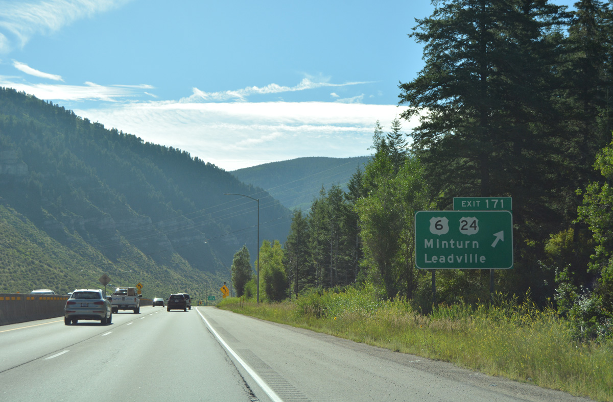
| A parclo interchange (Exit 171) lies one mile ahead with the western terminus of U.S. 24. 08/11/16 |
|
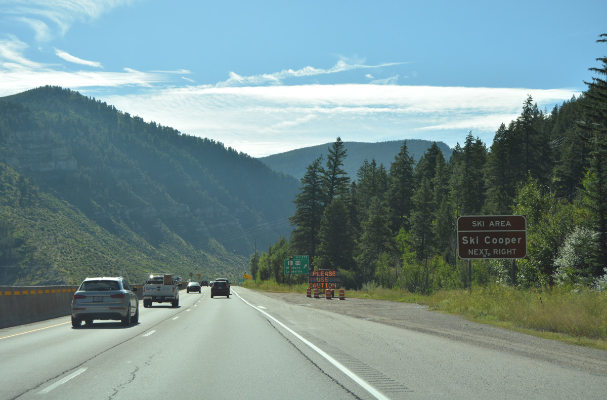
| U.S. 24 parallels the Eagle River, and Eagle River South Fork 22.3 miles to Tennessee Pass and the entrance road for Ski Cooper. 08/11/16 |
|
| Traveling 1,540 miles from I-70 and U.S. 6 to Clarkston, Michigan, U.S. 24 heads south through the town of Minturn to Buena Vista and east across Trout Creek Pass to Colorado Springs. U.S. 24 and I-70 reconvene in 190 miles at Limon. 08/11/16 |
|
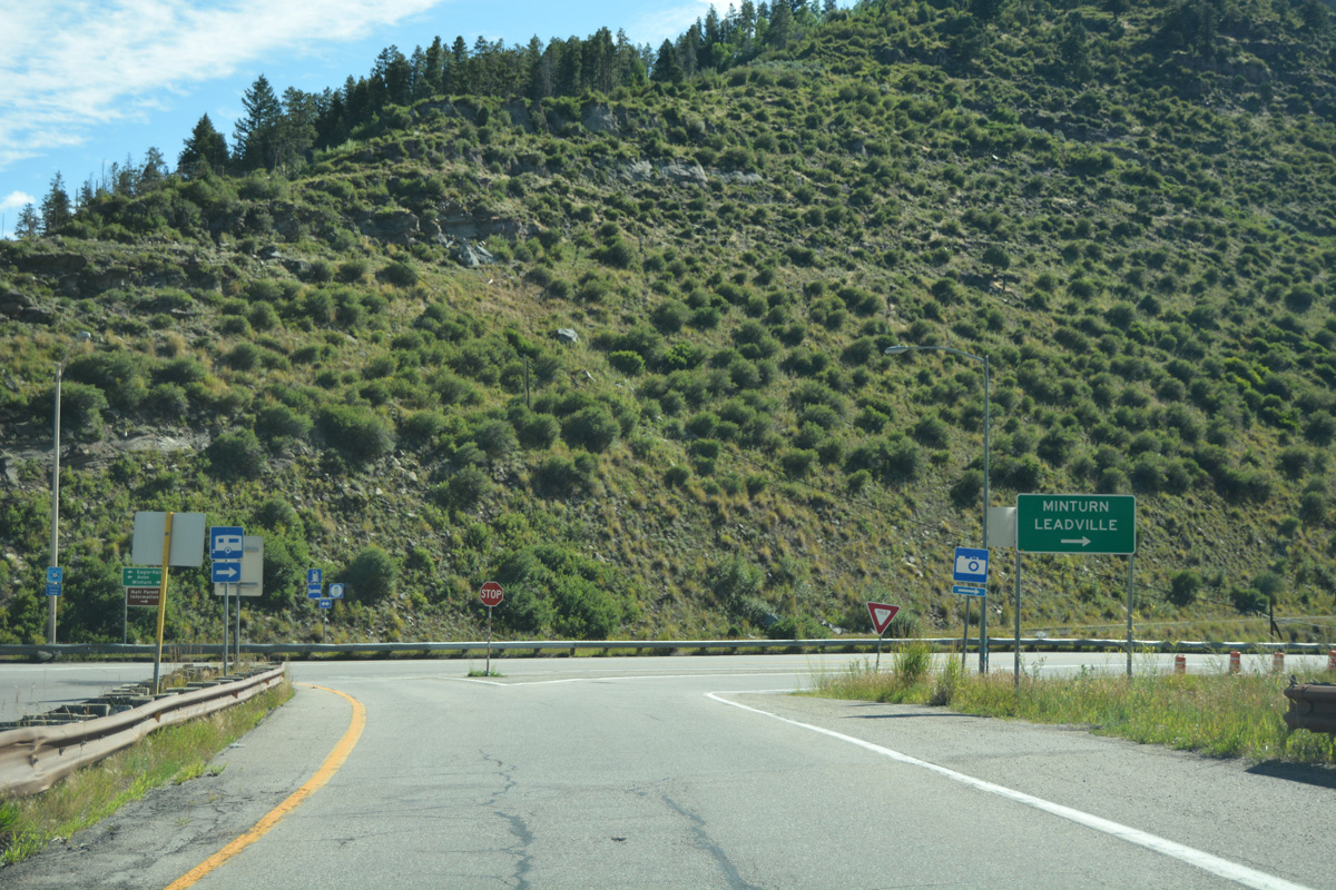
| Minturn stretches 3.5 miles southward along U.S. 24 and the Eagle River. Leadville, seat of Lake County, is located 33 miles to the south. 08/11/16 |
|
| Exit 171 also ties into the end of segment E of U.S. 6 east from Avon. 08/11/16 |
|
| Interstate 70 overlays U.S. 6 east as the freeway turns northeast along Gore Creek from Minturn. 08/11/16 |
|
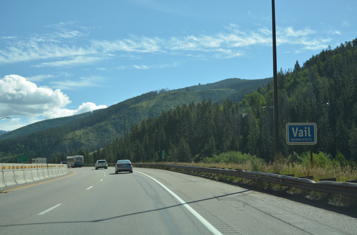
| Motorists enter the town of Vail at an elevation of 8,150 feet. 08/11/16 |
|
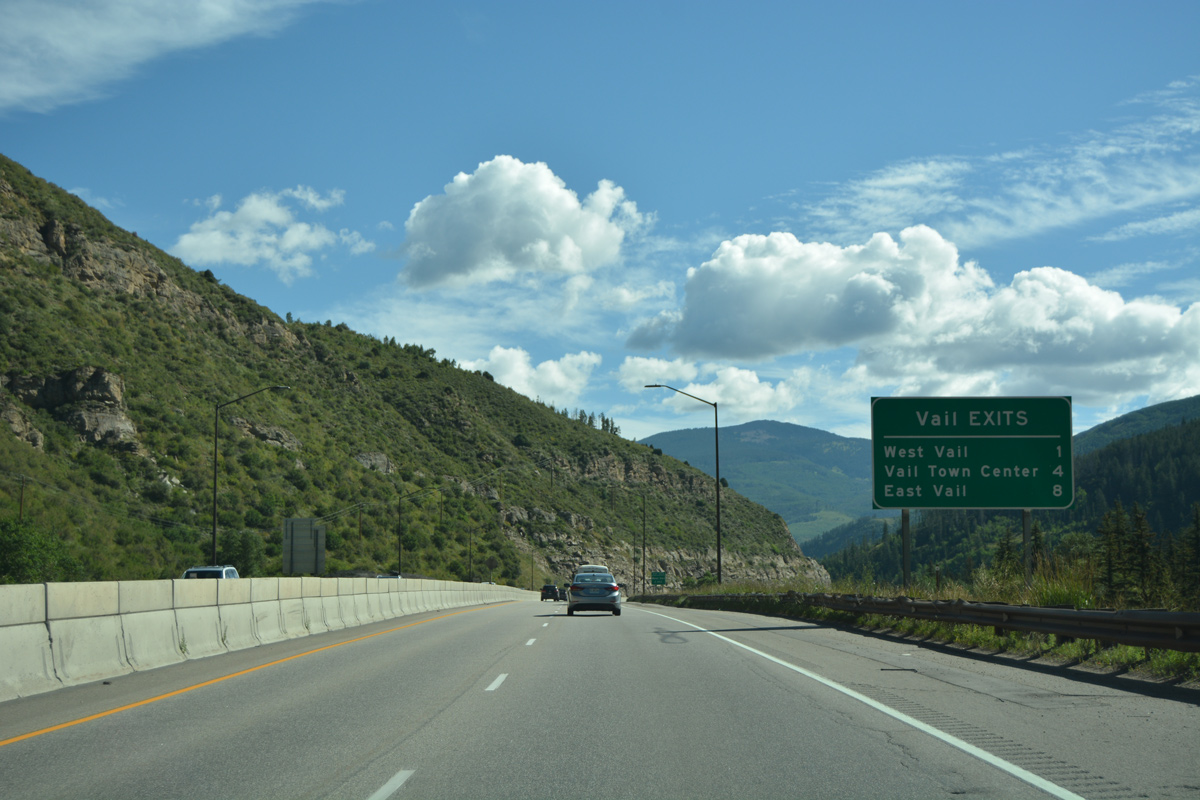
| Community Interchanges Identification Sign outlining the three I-70 exits for the resort area of Vail. 08/11/16 |
|
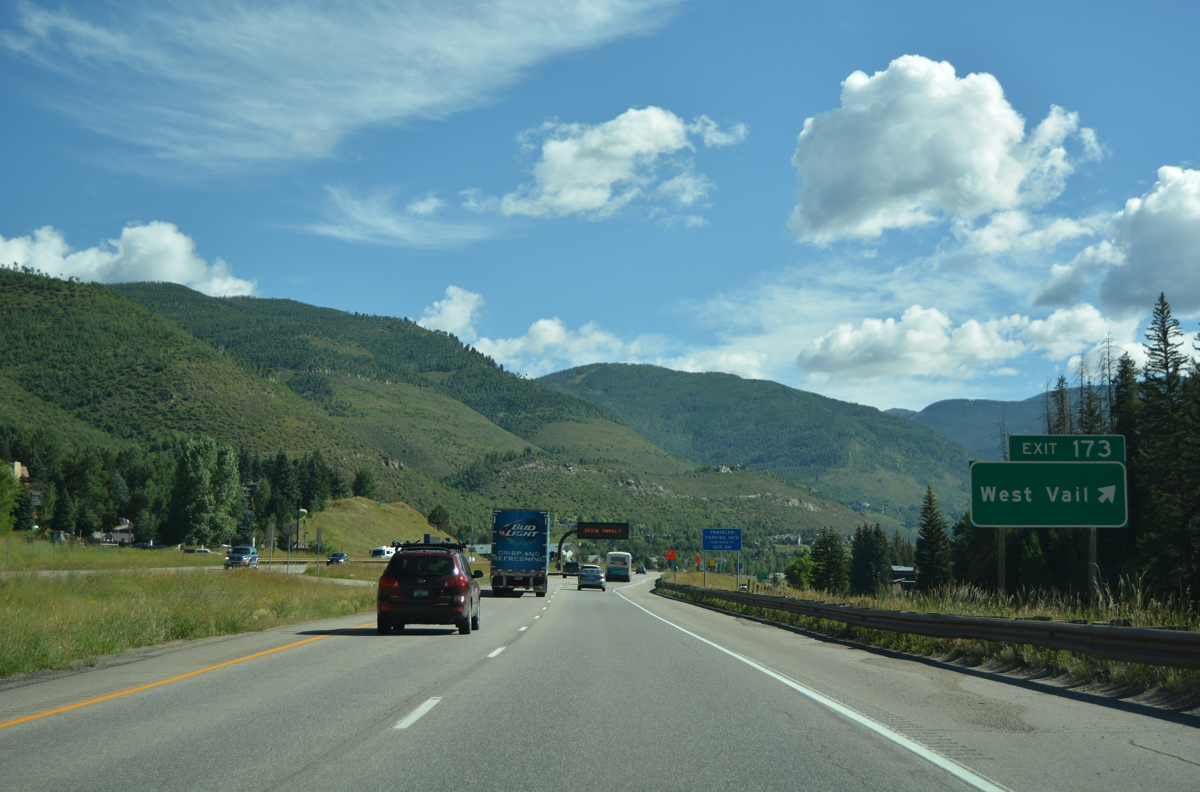
| The West Vail interchange (Exit 173) connects Interstate 70 with the adjacent frontage road system and Chamonix Road north. 08/11/16 |
|
| Roundabouts were added to the diamond interchange (Exit 173) at West Vail in 1997. The south side frontage road (old U.S. 6) leads east to the Vail welcome center and the town center. 08/11/16 |
|
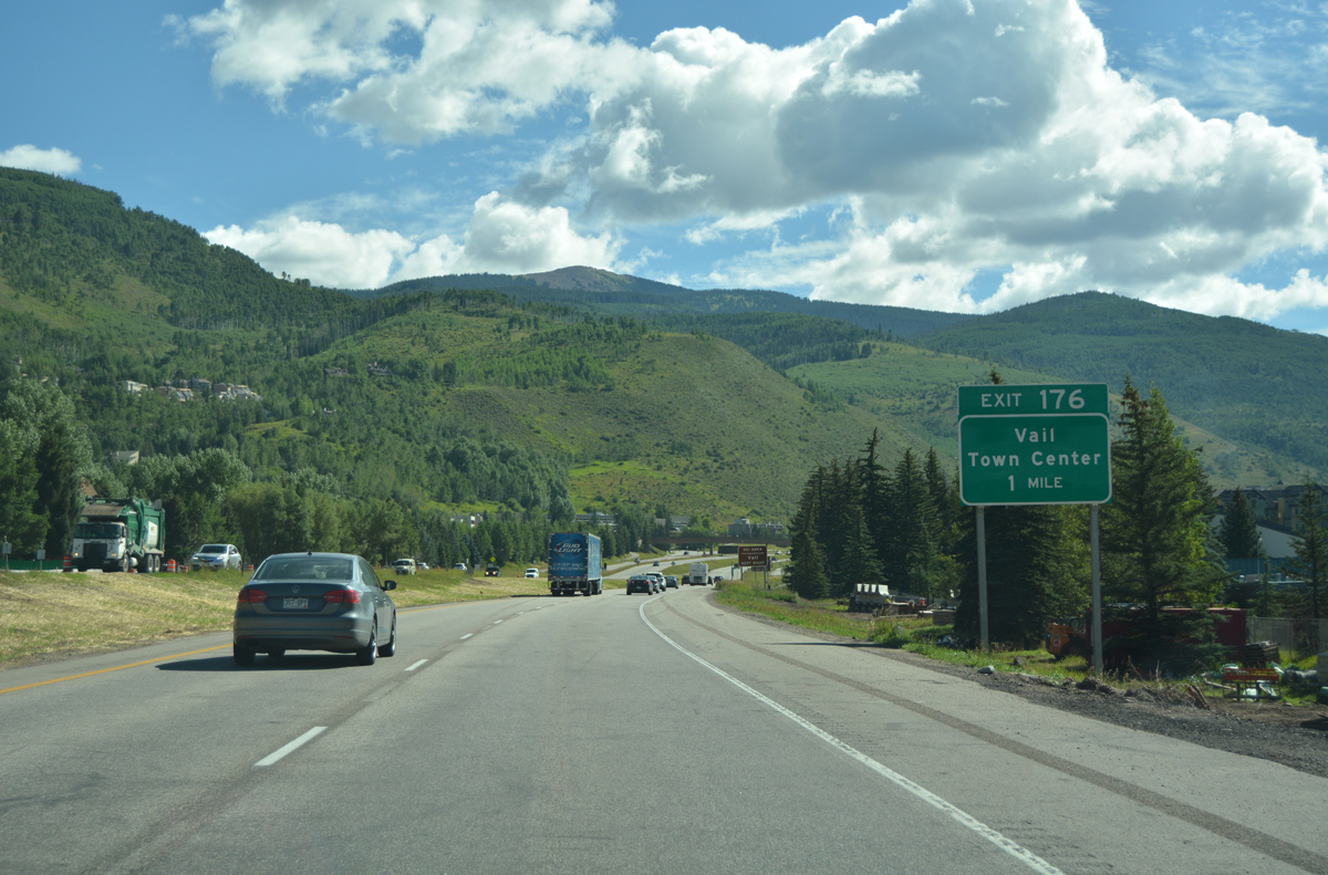
| Interstate 70 sandwiches between the frontage road system to Exit 176 and the Vail Town Center. 08/11/16 |
|
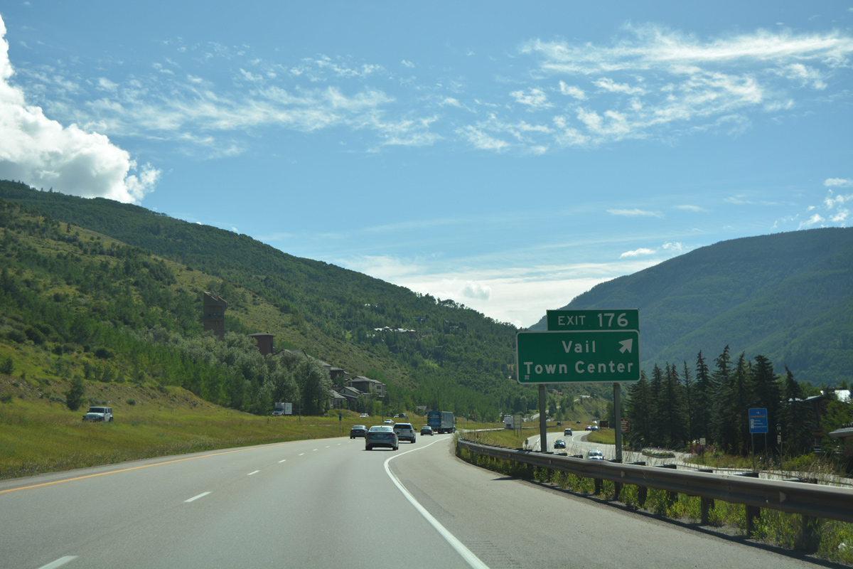
| A dumbbell interchange (Exit 176) joins I-70 with Vail Road south in one mile. 08/11/16 |
|
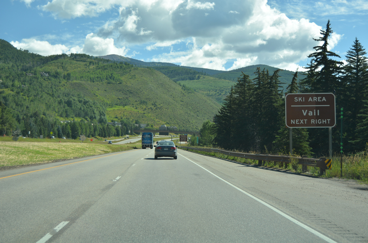
| Vail Ski Area is just south of the town center on the slopes of Vail Mountain. 08/11/16 |
|
| Exit 176 parts ways with I-70/U.S. 6 east for a six leg roundabout with the S Frontage Road and Vail Road. 08/11/16 |
|
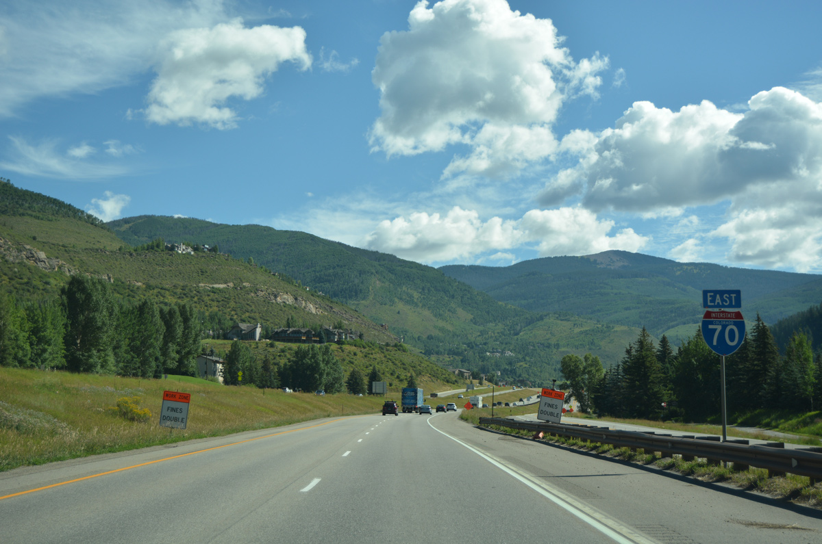
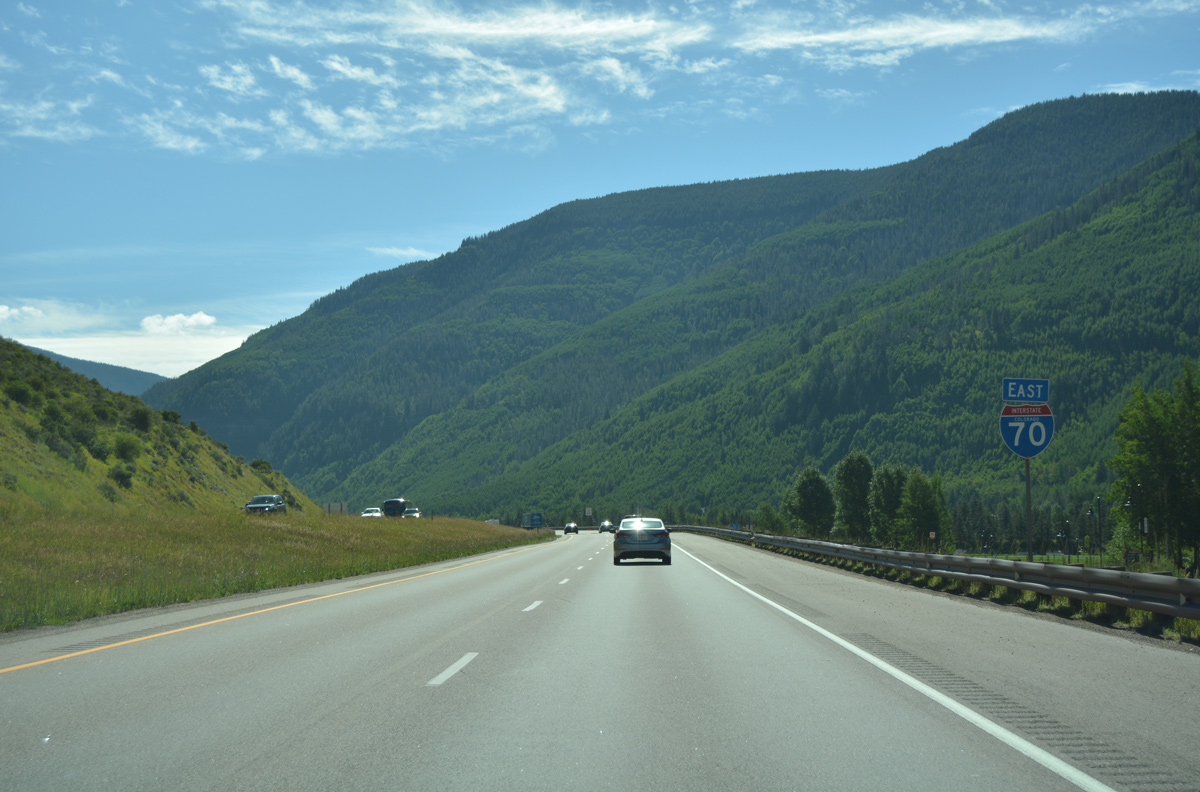
| Interstate 70 remains within the Vail town limits to milepost 182. 08/11/16 |
|
| The freeway rises from 8,287 feet above sea level at the Frontage Road (old U.S. 6) underpass near milepost 175. With I-70 ascending to 10,000 feet by milepost 187, snow chains are required during wintry weather. 08/11/16 |
|
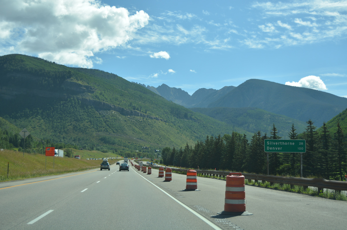
| The town of Silverthorne lies due east of Vail, but is 28 miles away due to the circuitous path of Interstate 70 around the Gore Range. Travelers are 100 miles out from Denver. 08/11/16 |
|
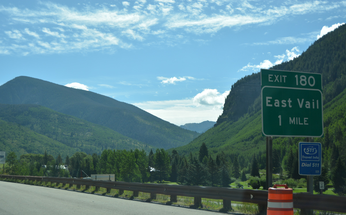
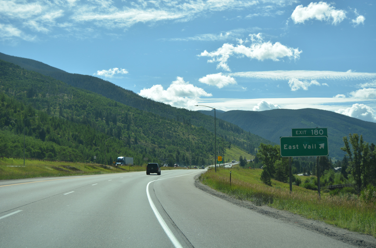
| Old U.S. 6 shifts from the north side Frontage Road to Big Horn Road at the East Vail interchange (Exit 180) in one mile. 08/11/16 |
|
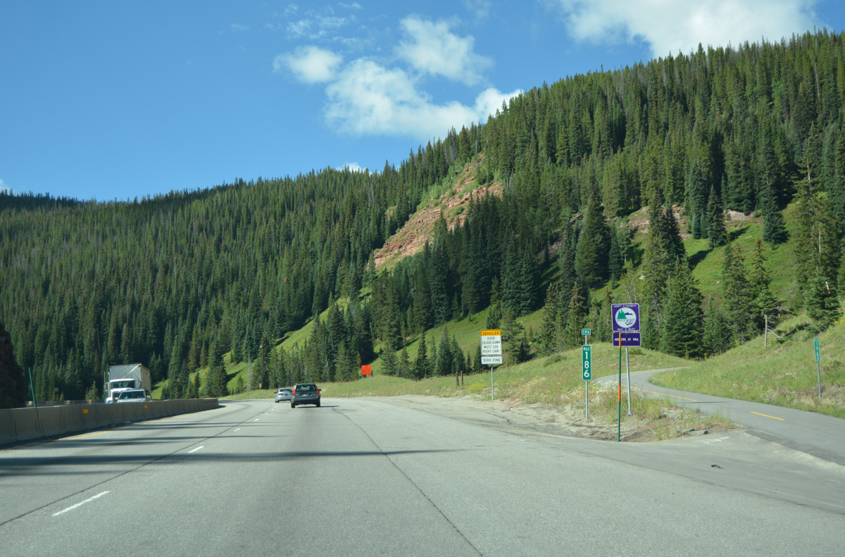
| Big Horn Road spurs east from the diamond interchange (Exit 180) with I-70/U.S. 6 alongside Gore Creek to Gore Creek Campground. Old U.S. 6 continues south from there as the Ten Mile Canyon National Recreation Trail to the runaway truck ramp from I-70 west near milepost 186. 08/11/16 |
|
| CDOT counted 21,000 vehicles per day (vpd) on Interstate 70 leading southeast from Vail in 2015. 08/11/16 |
|
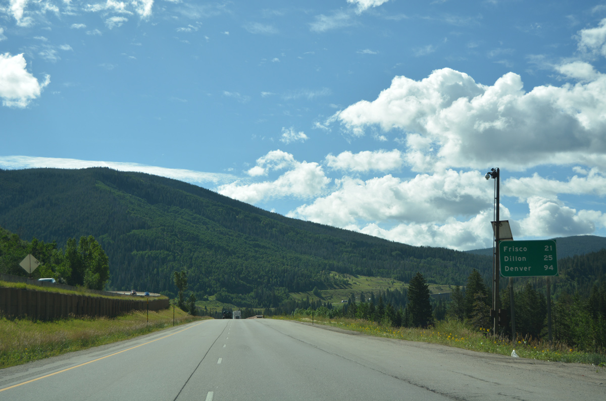
| The towns of Frisco (21 miles) and Dillon (25 miles) lie beyond the Gore Range along Interstate 70. 08/11/16 |
|
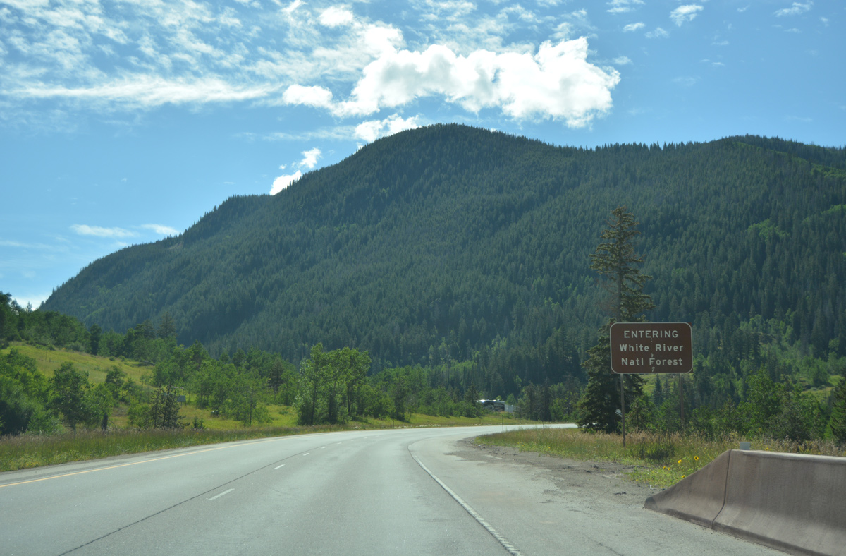
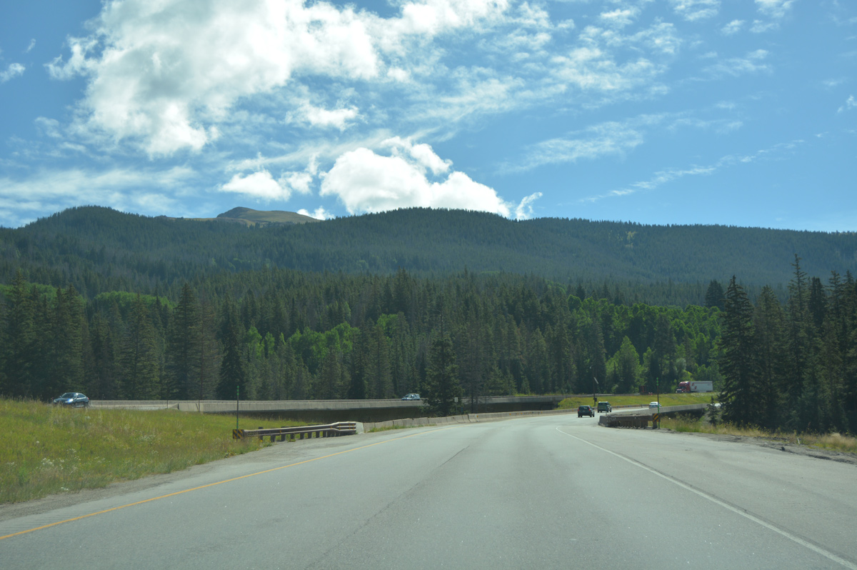
| Interstate 70 reenters White River National Forest alongside Black Gore Creek. 08/11/16 |
|
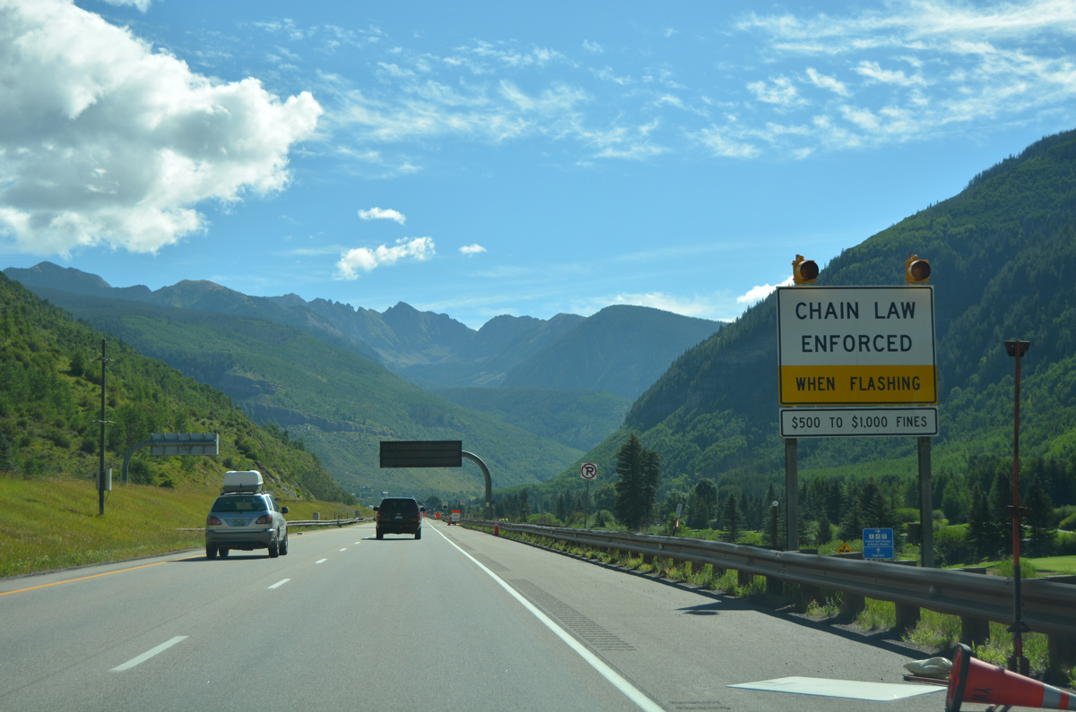
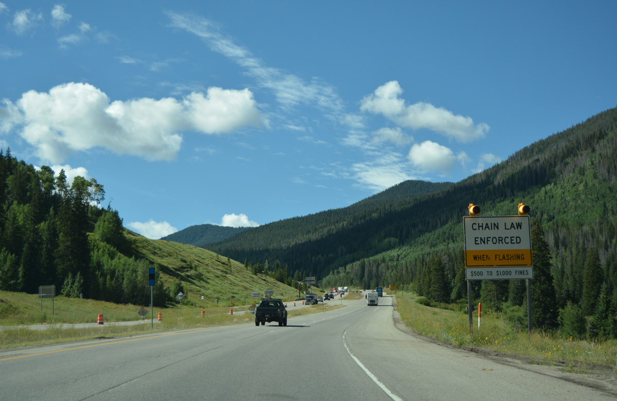
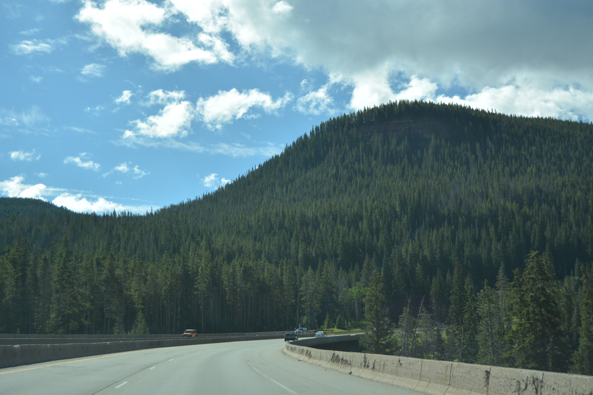
| Interstate 70 circles around the east side of Black Mountain as motorists are advised of chain laws again. 08/11/16 |
|
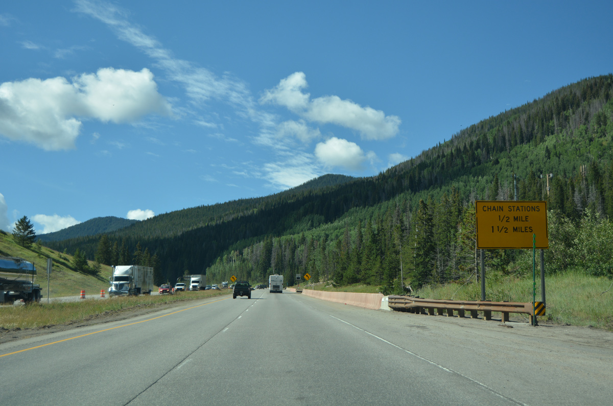
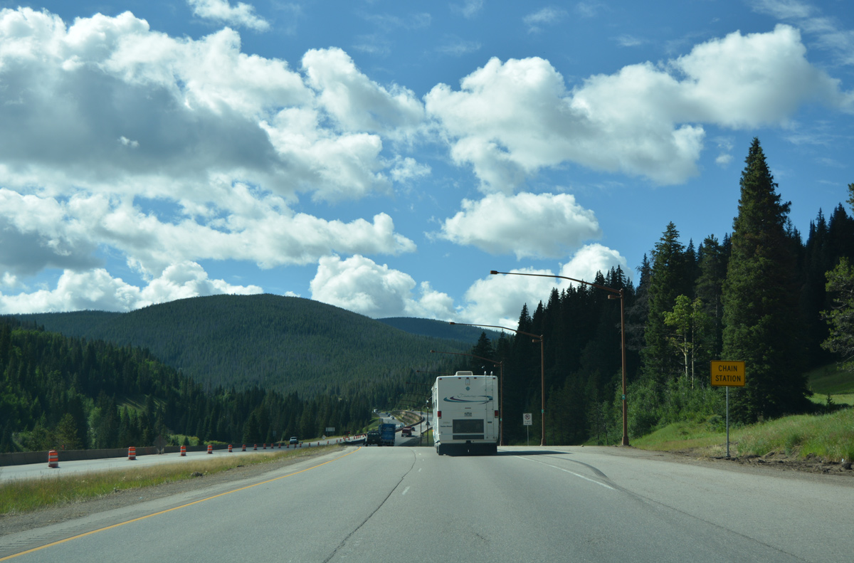
| Back to back chain stations line the eastbound lanes of Interstate 70 by milepost 184. 08/11/16 |
|
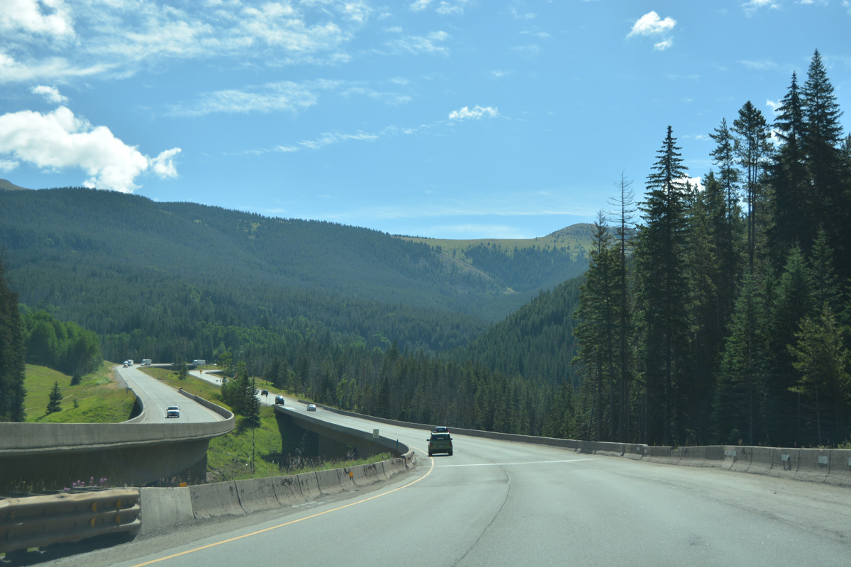
| The freeway switches sides with Black Gore Creek twice on the climb to Vail Pass. 08/11/16 |
|
| Miller Creek flows south into Gore Creek below 1977-built bridges at milepost 185. 08/11/16 |
|
| Turning more south, I-70 crosses Black Gore Creek for the second time. 08/11/16 |
|
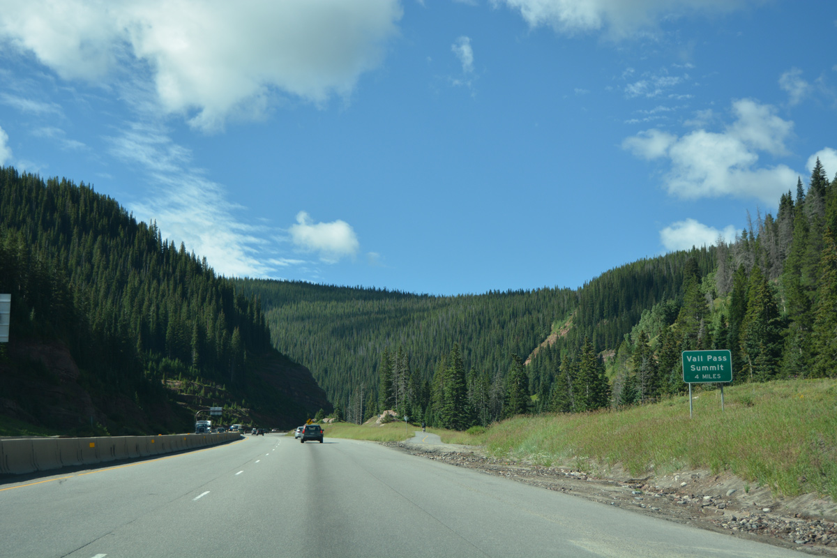
| Interstate 70 takes a more linear course on the four miles leading to Vail Pass Summit. 08/11/16 |
|
| Ten Mile Canyon National Recreation Trail runs directly alongside the eastbound lanes of I-70 for three quarters of a mile to milepost 186. 08/11/16 |
|
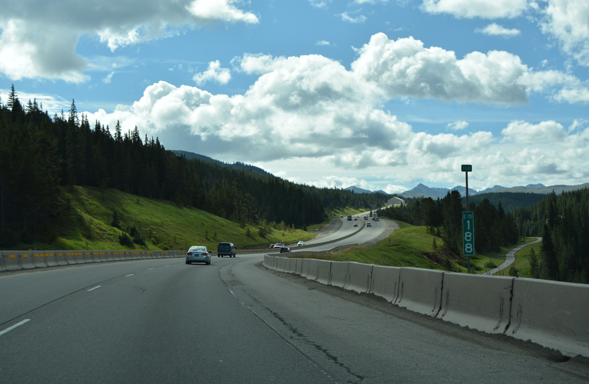
| A barrier median separates traffic along I-70 to milepost 189 by Black Lake Number 2. 08/11/16 |
|
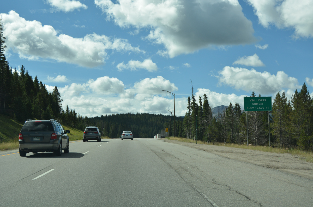
| Interstate 70 eastbound reaches Vail Pass Summit at an elevation of 10,603 feet above sea level. 08/11/16 |
|
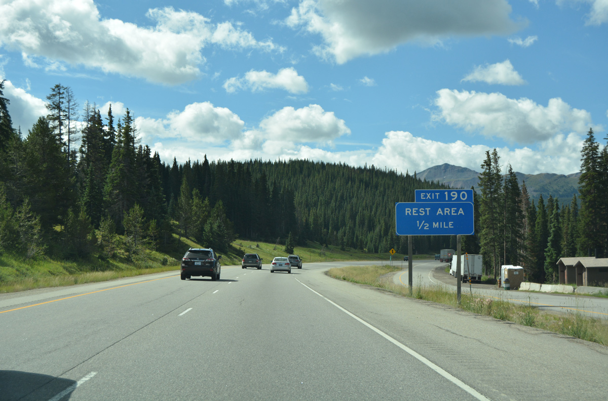
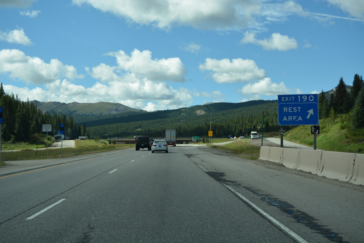
| A CDOT rest area resides on the west side of I-70 at Exit 190 and Vail Pass. 08/11/16 |
|
| Exit 190 departs I-70/U.S. 6 east at the Summit County line. Shrine Pass Road meanders west onto Black Mountain via Shrine Pass from here. 08/11/16 |
Page Updated 04-07-2017.


 East
East