|
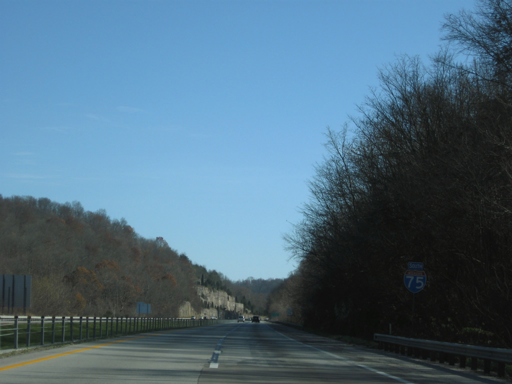
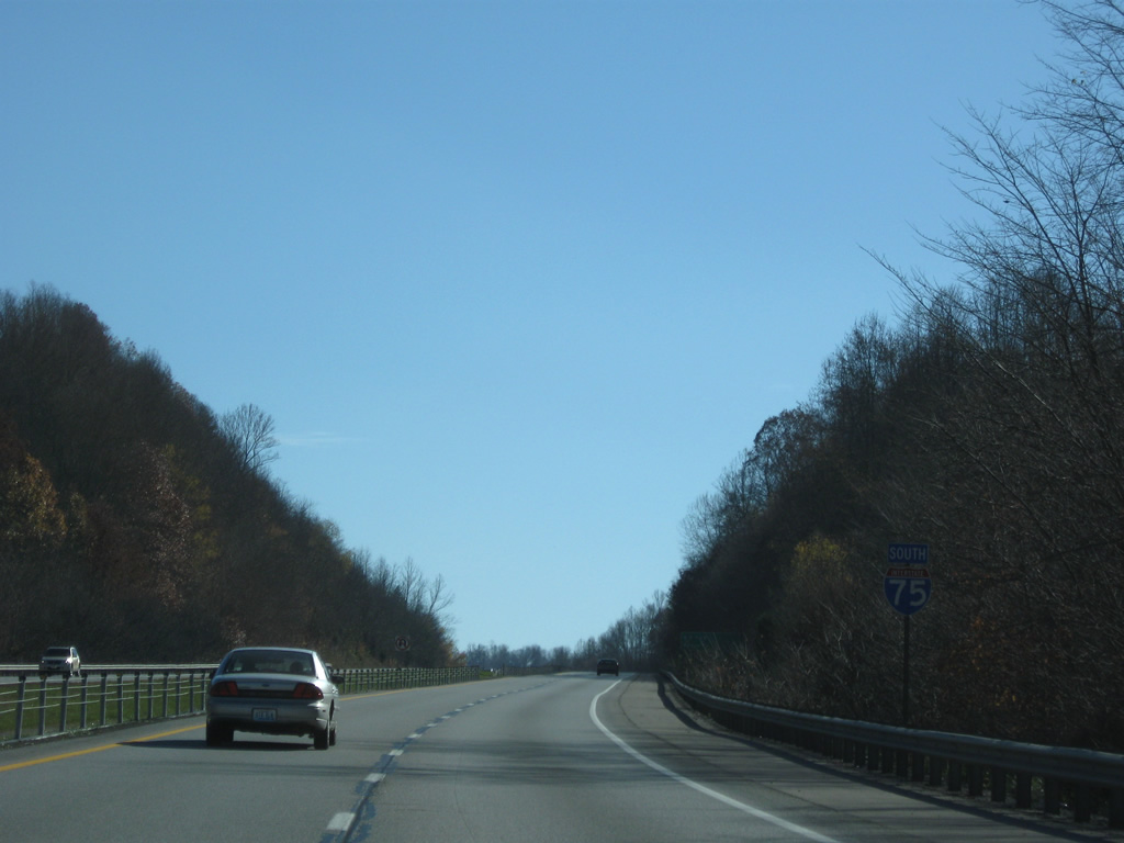
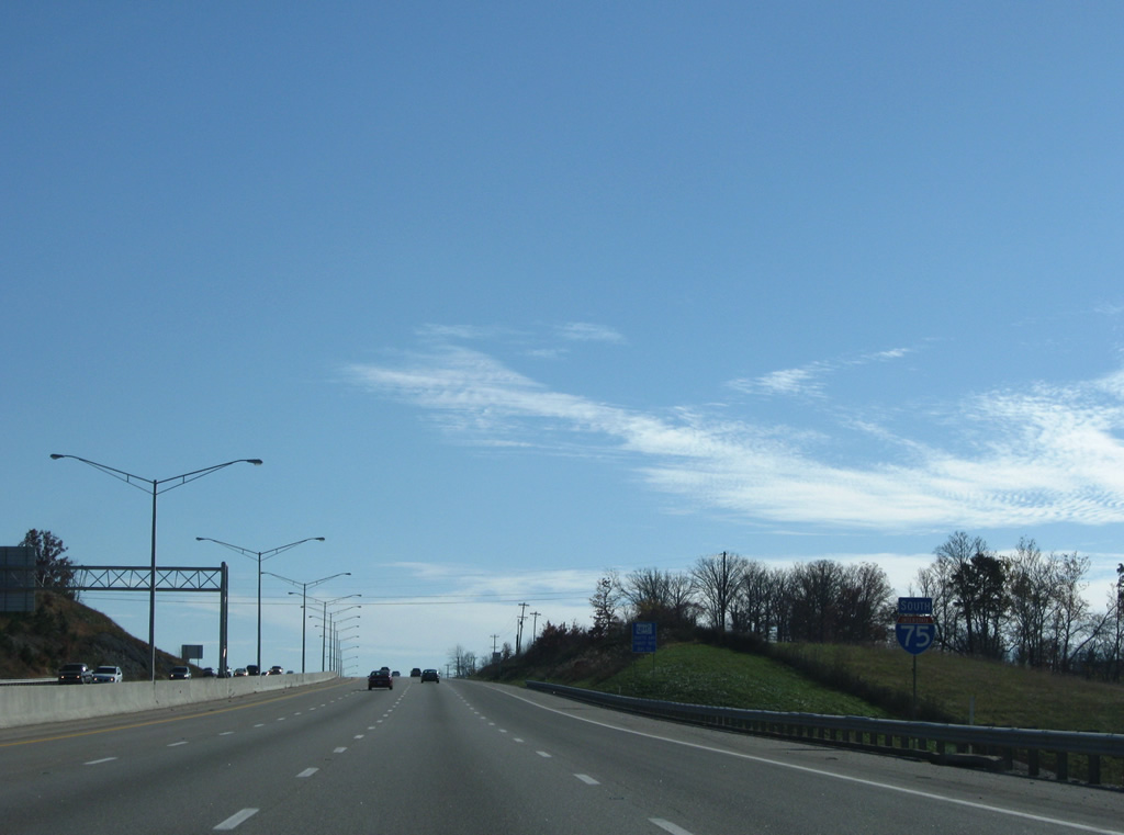
| Interstate 75 stays in the hills to the east of Mount Vernon on a ten mile drive to Livingston. Knoxville is 118 miles to the south. 11/08/09 |
|
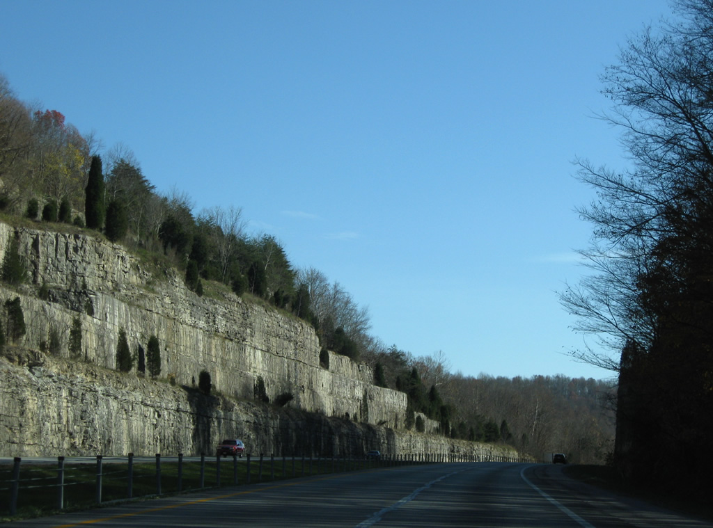
| A large rock cut accommodates the freeway southeast of Town Branch, northeast of Mt. Vernon. 11/08/09 |
|
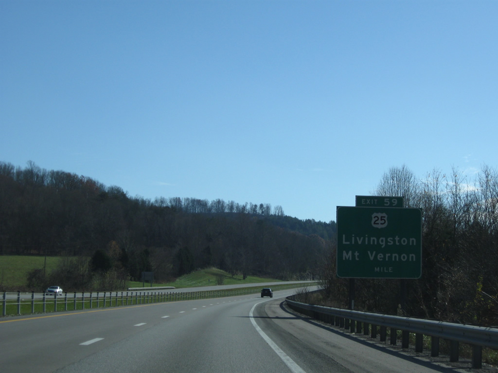
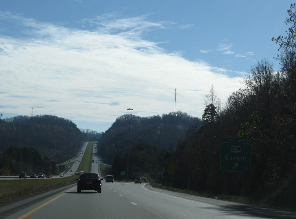
| U.S. 25 continues south from U.S. 150 in Downtown Mount Vernon to meet Interstate 75 again at Exit 59. 11/08/09 |
|
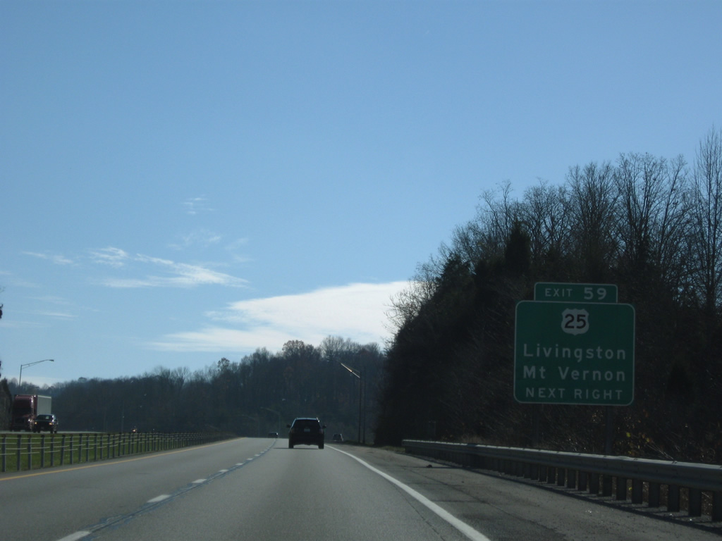
| Continuing east from the diamond interchange with I-75 at Mount Vernon, U.S. 25 follows Wilderness Road eight miles to Livingston. 11/08/09 |
|
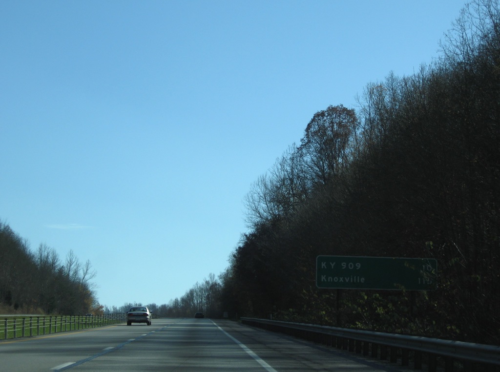
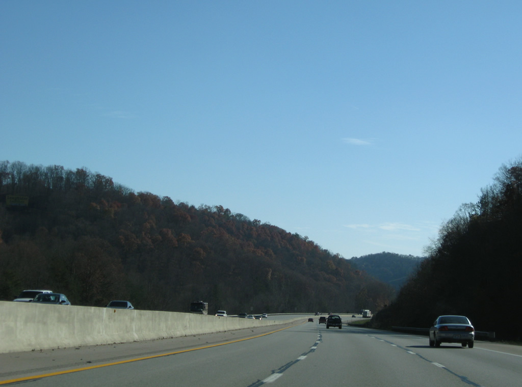
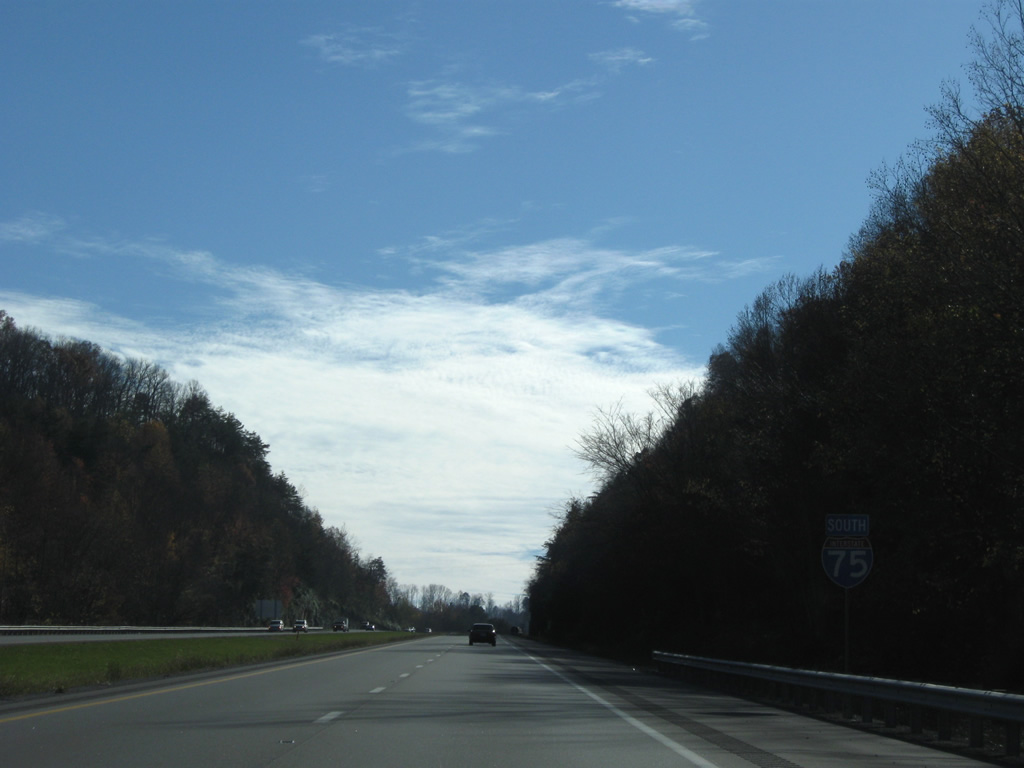
| Interstate 75 continues uninterrupted for ten miles south to KY 909 in Laurel County. The freeway enters Daniel Boone National Forest along this stretch. 11/08/09 |
|
| Winding southward near Lime Plant Hollow on Interstate 75. 11/08/09 |
|
| I-75 expands with truck climbing lanes with a barrier median near milepost 54. 11/08/09 |
|
| Interstate 75 remains with six overall lanes on the run along the west side of Sandy Ridge. 11/08/09 |
|
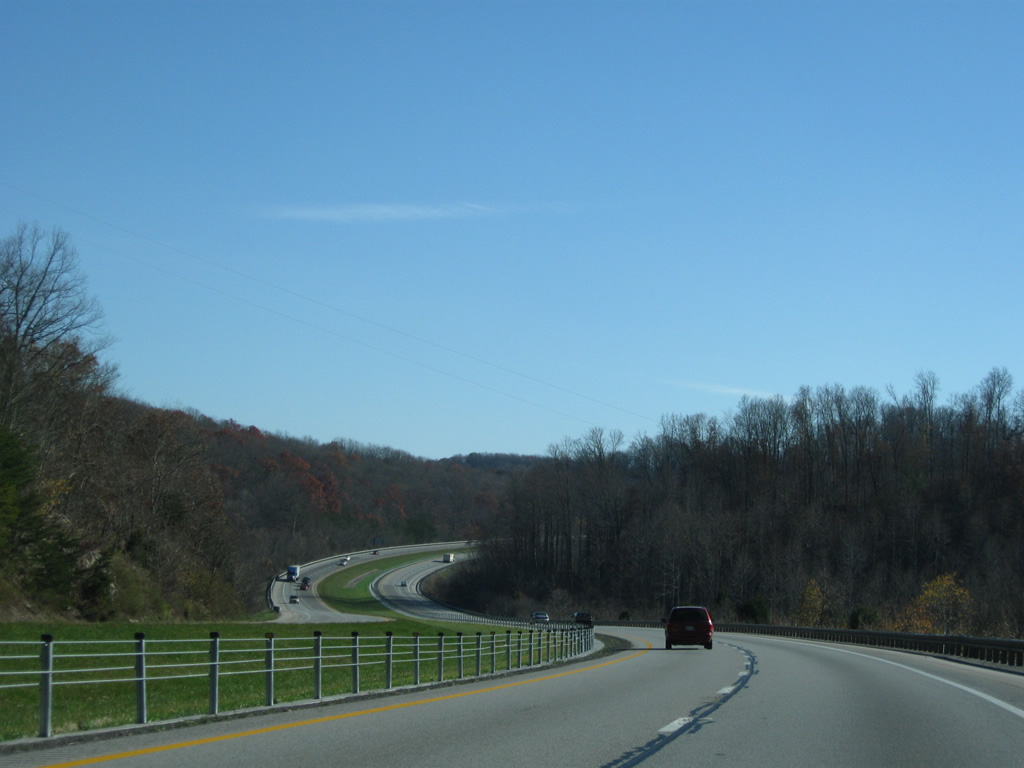
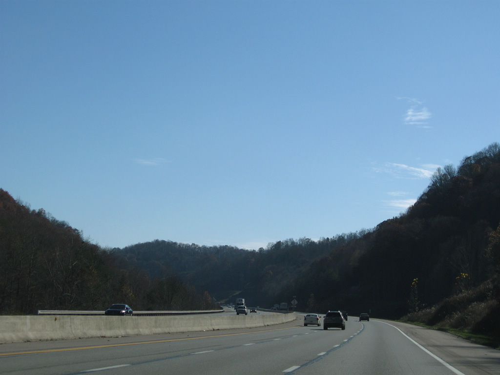
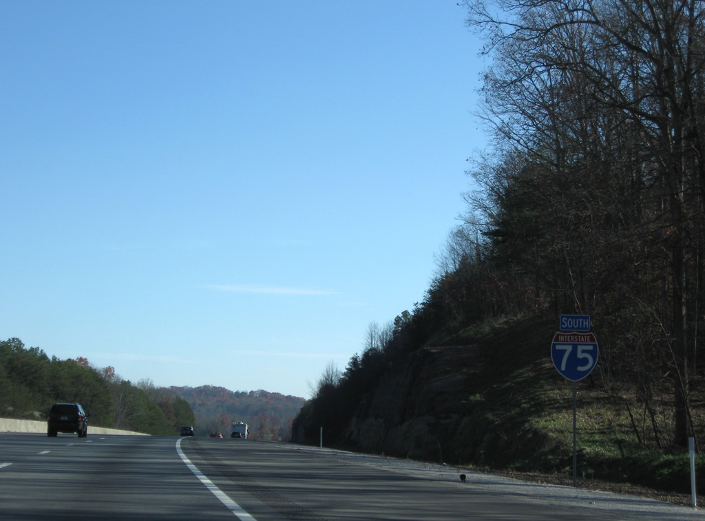
| Spanning the Rockcastle River, Interstate 75 commences a 22.82 mile drive through Laurel County. The Rockcastle River bridge was replaced in 2005 when I-75 was six laned. 11/08/09 |
|
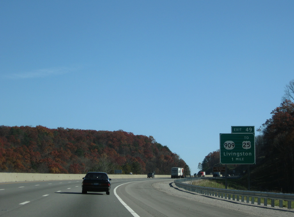
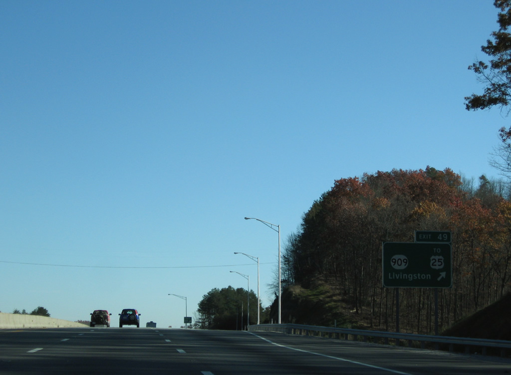
| One mile north of the diamond interchange at Exit 49 with KY 909 (Sheltowee Trace), a 1.06 mile long route that ends 0.46 miles west of I-75 as a forest road. 11/08/09 |
|
| KY 909 links I-75 with U.S. 25 a half mile to the east. U.S. 25 heads 5.7 miles north from KY 909 to Camp Wildcat Civil War Battlefield and the city of Livingston. 11/08/09 |
|
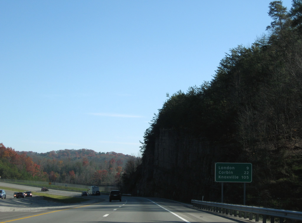
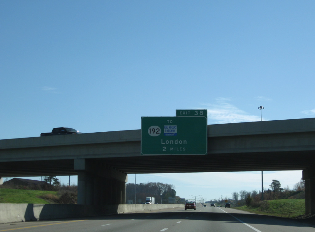
| Interstate 75 passes by Wood Creek Lake on the nine mile drive to London, the seat of Laurel County. Corbin follows in 22 miles. 11/08/09 |
|
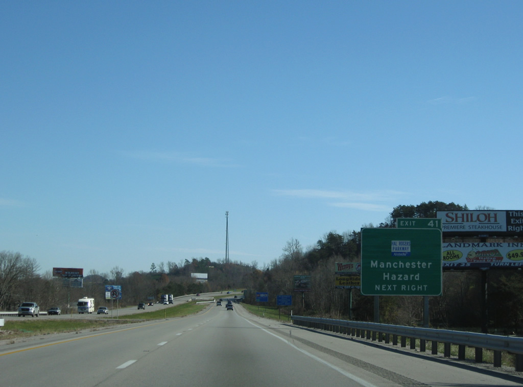
| Interstate 75 southbound reaches the city of Londom at the diamond interchange (Exit 41) with KY 80 (Hal Rogers Parkway). 11/08/09 |
|
| East from KY 80, Hal Rogers Parkway (KY 9006) is a 55.2 mile long two lane expressway connecting London, Manchester and Hazard. Tolls were lifted on the parkway June 1, 2003 as U.S. Representative Hal Rogers made appropriations within the federal budget to have the bonds for its construction paid off. Governor Paul Patton subsequently authorized legislation renaming the parkway after Rogers.1 11/08/09 |
|
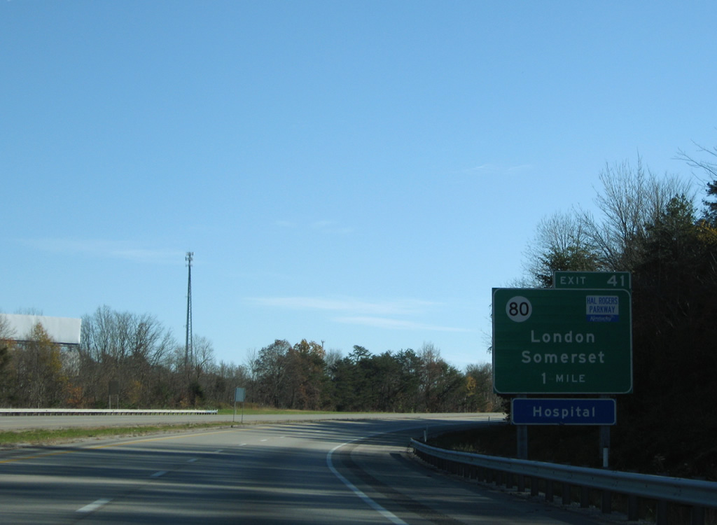
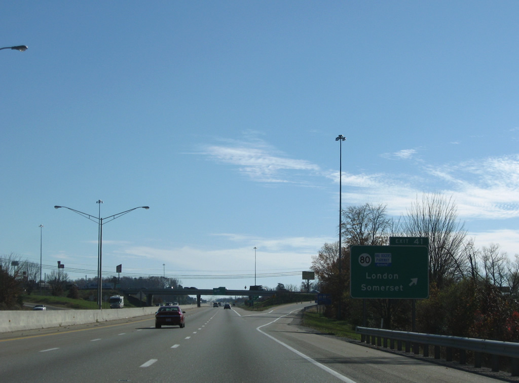
| KY 80 east combines with U.S. 25 (Main Street) south into Downtown London. Beyond there KY 80 parallels to Hal Rogers Parkway east toward Hazard. KY 80 westbound meanders through Daniel Boone National Forest, connecting with Somerset and Louie B. Nunn Cumberland Parkway. 11/08/09 |
|
| Exit 41 departs for KY 80, a multi state highway west to the Mississippi River and east into southwest Virginia. Interstate 75 expands to six lanes south to the exchange with KY 192. 11/08/09 |
|
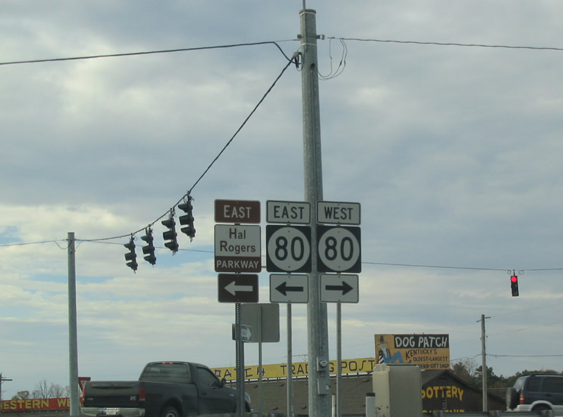
| Trailblazers located at the end of the southbound off-ramp for KY 80 and for the Hal Rogers Parkway. The brown and white color scheme of Hal Rogers Parkway was a leftover from when the road was named Daniel Boone Parkway. These signs were replaced with the blue and white Unbridled Spirit based signs. 10/31/04 |
|
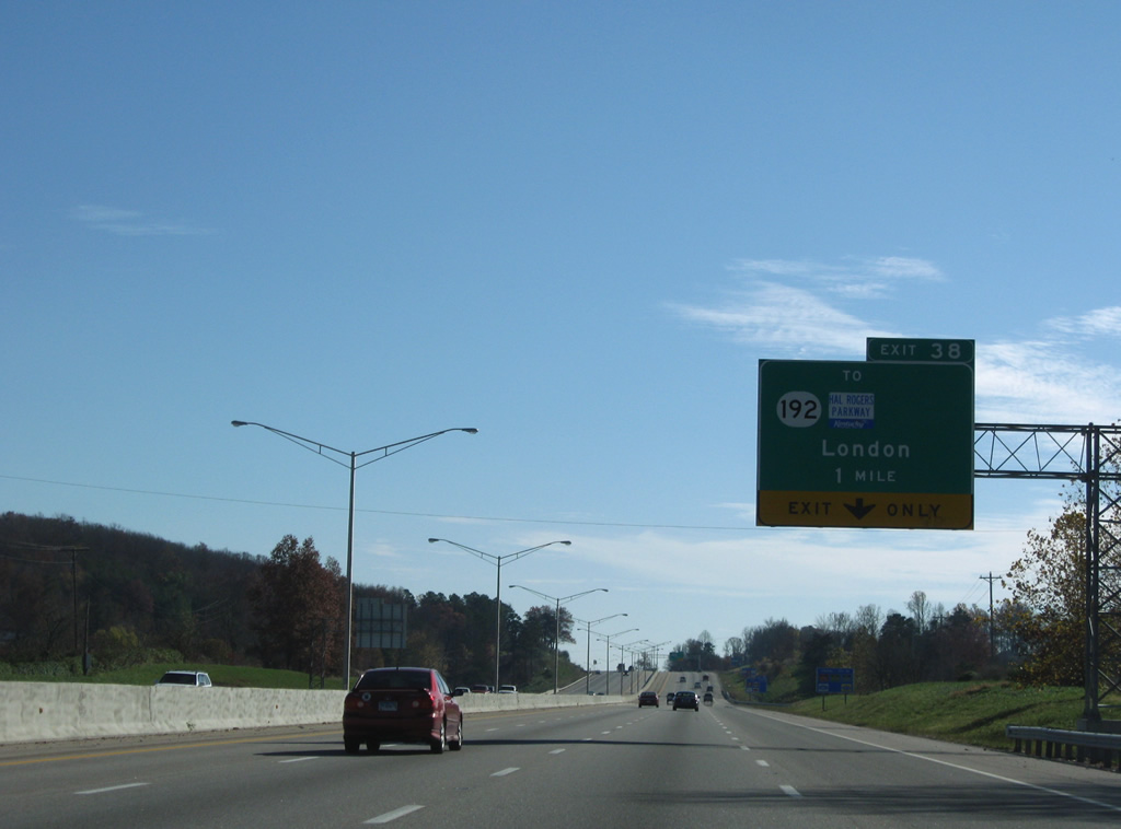
| The second London exit connects Interstate 75 with KY 192, a 40.54 mile route between Pulaski and London. 11/08/09 |
|
| Interstate 75 continues with eight overall lanes through western reaches of London. 11/08/09 |
|
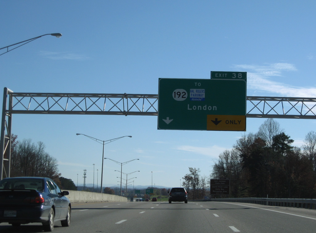
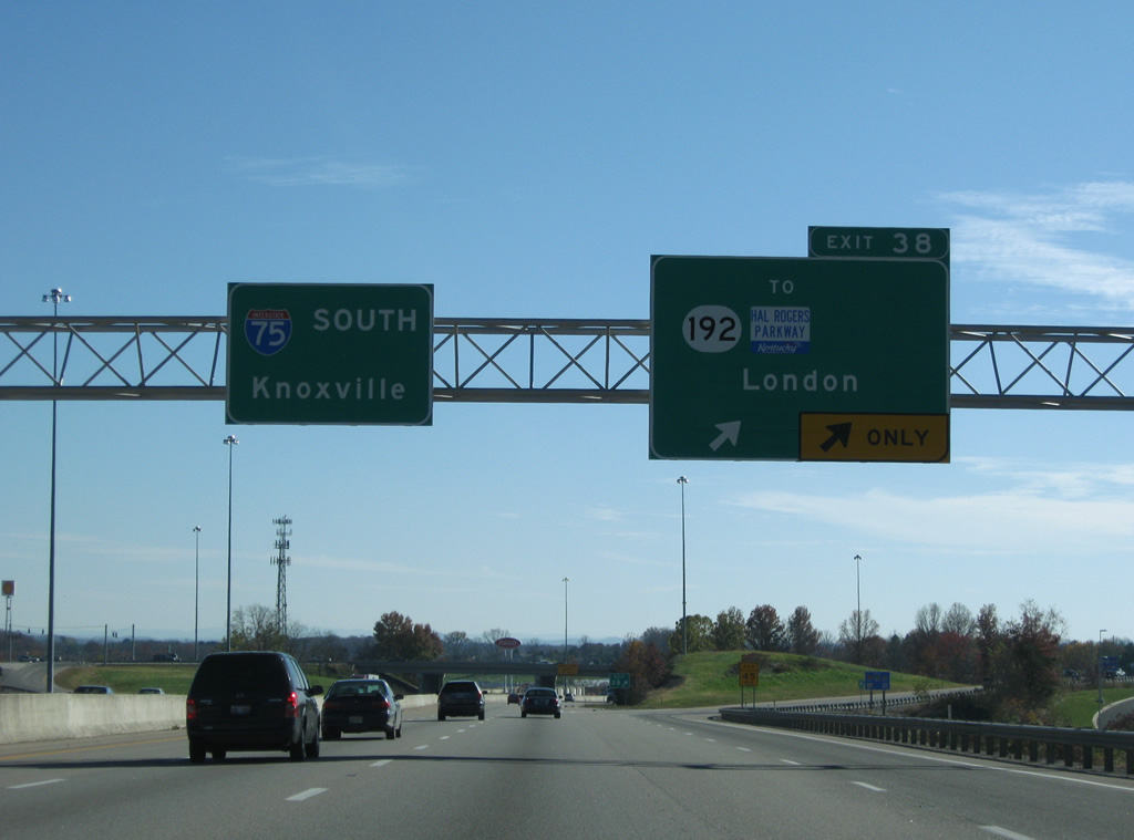
| Exit 38, a diamond interchange with KY 192 (Laurel Road), claims the right lane of Interstate 75 south in one mile. 11/08/09 |
|
| KY 192 constitutes a four lane bypass (B.W. Ridge Road) of London to the south, providing a direct link between Interstate 75 and the Hal Rogers Parkway. As with many bypasses lacking access control, KY 192 is heavily developed with retail along the 3.81 mile trek to Hal Rogers Parkway. 11/08/09 |
|
| Two lanes depart at Exit 38 for KY 192 (B.W. Ridge Road east / Laurel Road west) to Levi Jackson State Park, Laurel River Lake and Holl. 11/08/09 |
|
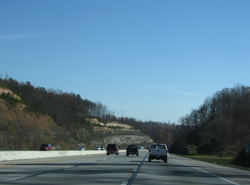
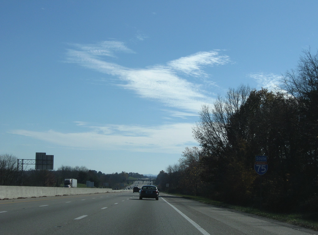
| Interstate 75 reduces from six to four lanes and remains at that capacity until Exit 110, north of Knoxville, Tennessee. 11/08/09 |
|
| Continuing through the south suburbs of London, Interstate 75 remains an urban freeway to the KY 363 (Keavy Road) over crossing and Pine Grove. 11/08/09 |
|
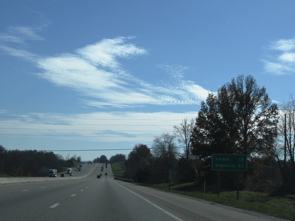
| Served by the succeeding two exits, Corbin is ten miles away. Knoxville follows in 93 miles. 11/08/09 |
|
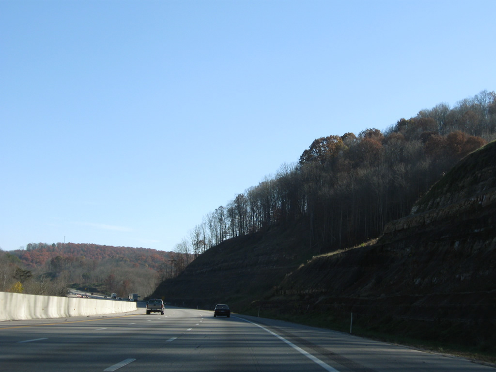
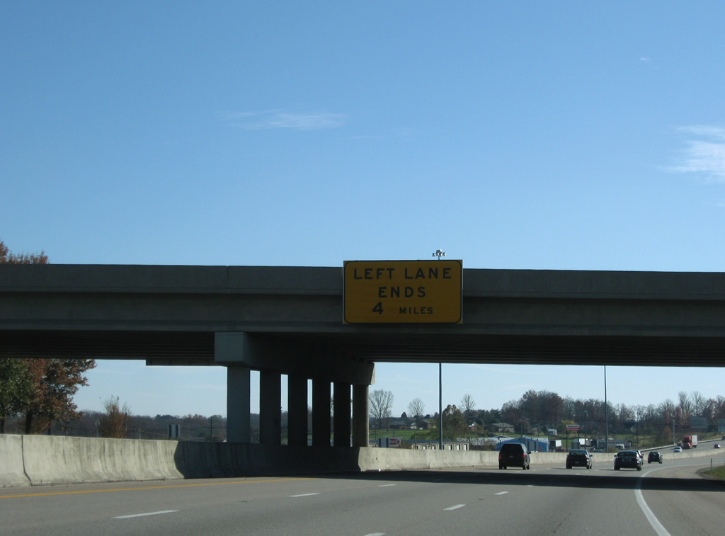
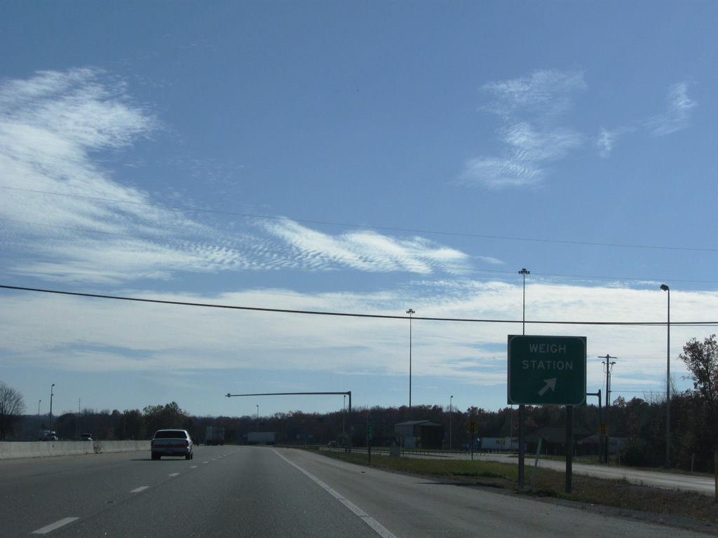
| Weigh stations line both sides of Interstate 75 adjacent to the Laurel River. The left lan drops from I-75 southbound at this location. 11/08/09 |
|
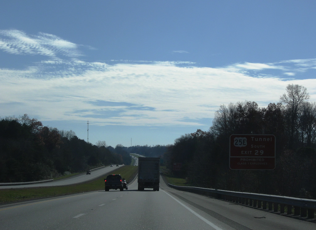
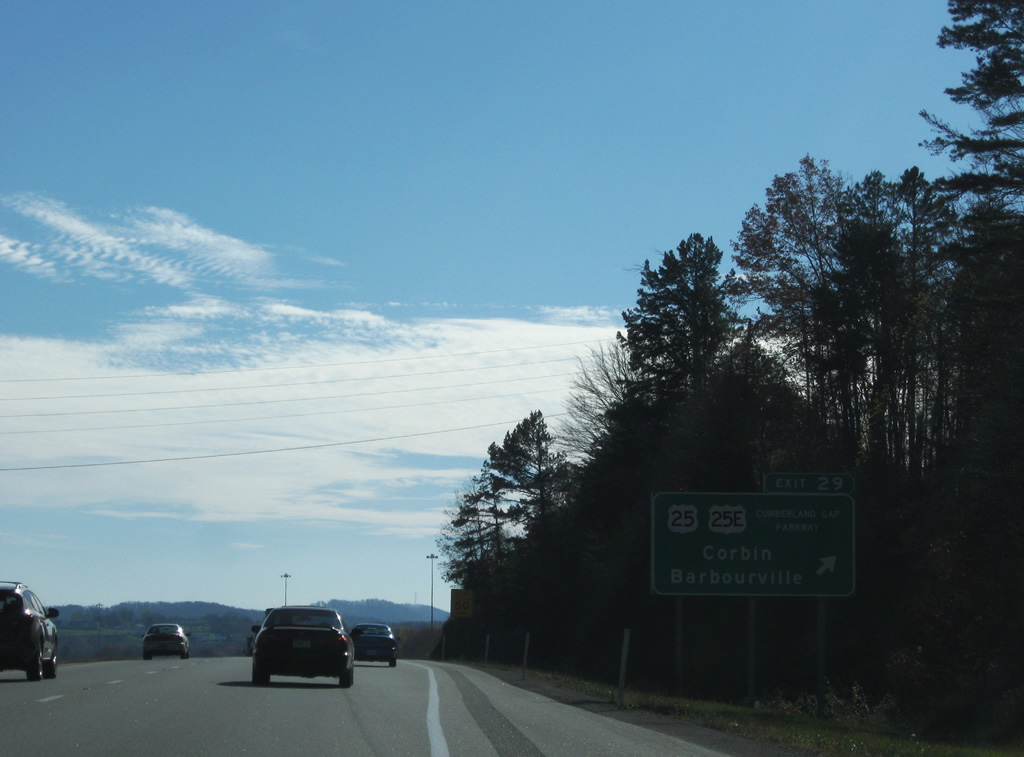
| U.S. 25 partitions into west and east components at Corbin. U.S. 25E constitutes a four lane route southeast to Barbourville, Pineville, Pine Mountain State Resort Park, Middlesboro and Cumberland Gap National Park. Travelers bound for the US highway south to Cumberland Gap are advised of restrictions to traffic through the tunnel there. Class 1 explosives are prohibited while other vehicles carrying hazardous materials and wide loads are permitted with an escort. 11/08/09 |
|
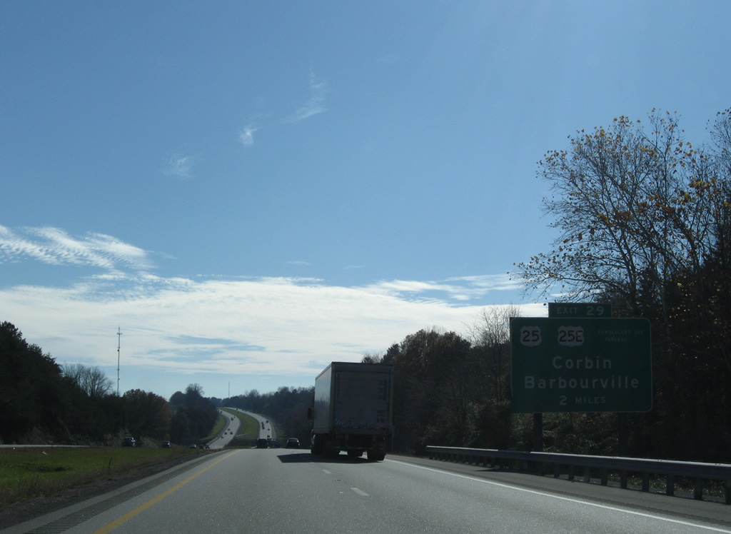
| U.S. 25 follows London Road south from Lily into North Corbin. U.S. 25E (Cumberland Gap Parkway) extends west to the diamond interchange at Exit 29. 11/08/09 |
|
| One mile from Exit 29 to U.S. 25E (Cumberland Gap Parkway) south and KY 770 west. KY 770 connects North Corbin with Laurel River Lake to the west. Corbin is where Colonel Sanders started his restaurant business of what would later be known as Kentucky Fried Chicken (KFC). 11/08/09 |
|
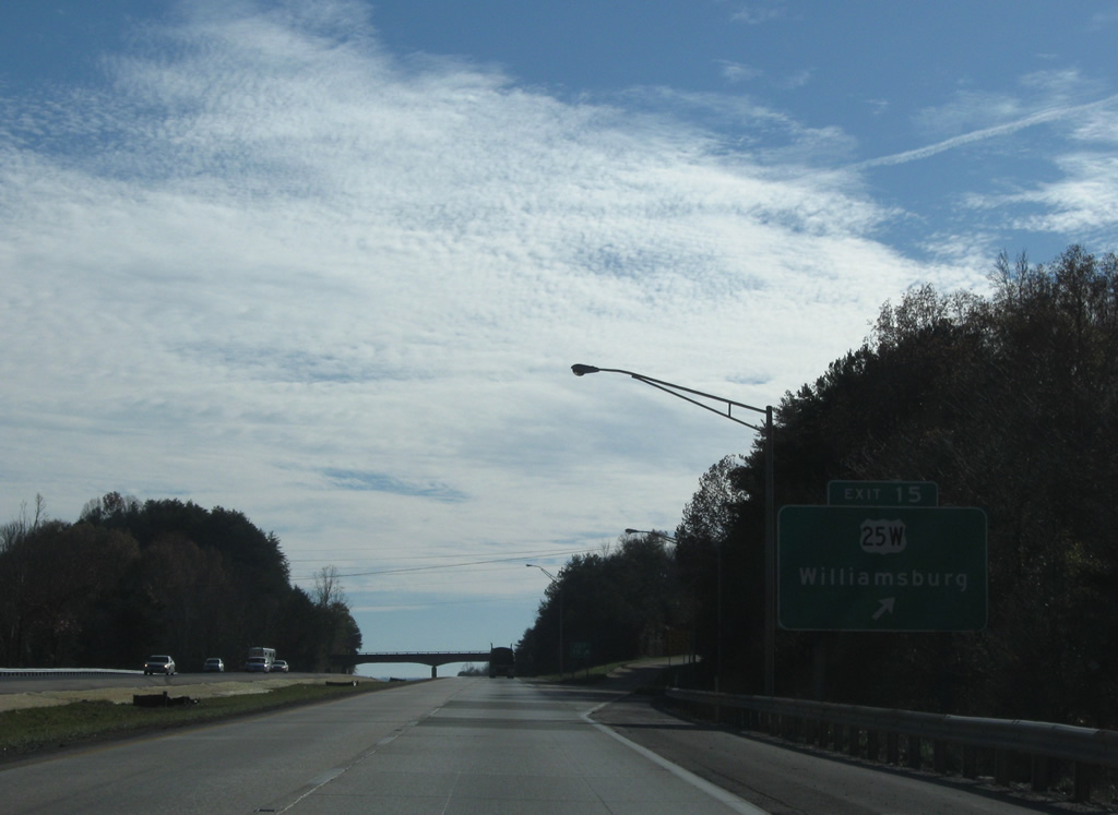
| Kentucky and Tennessee host a number of split U.S. highways. Among U.S. 11, U.S. 31, U.S. 70 and others, U.S. 25's partition includes an east branch leading south 114 miles to Barbourville and Morristown and a west branch traveling 147 miles to Williamsburg and Knoxville. U.S. 25 recombines at Newport, Tennessee. 11/08/09 |
|
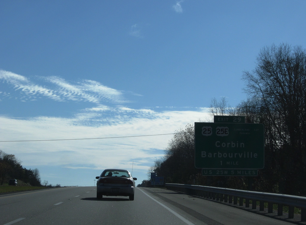
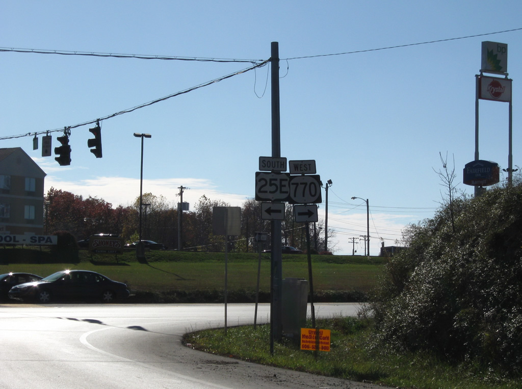
| Posted as the base of the Exit 29 off-ramp are these shields for U.S. 25E south and KY 770 west. U.S. 25E was extended westward over KY 1783 to provide continuity for the route east to Cumberland Gap. 11/08/09 |
|
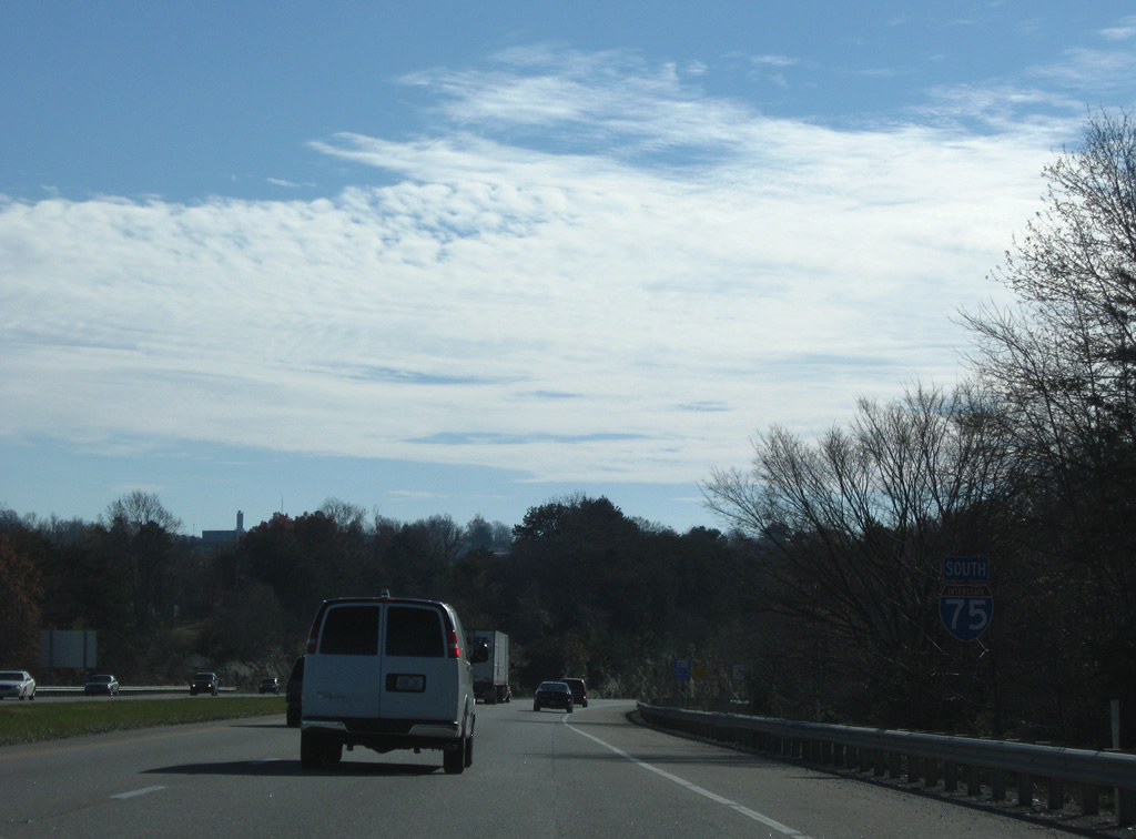
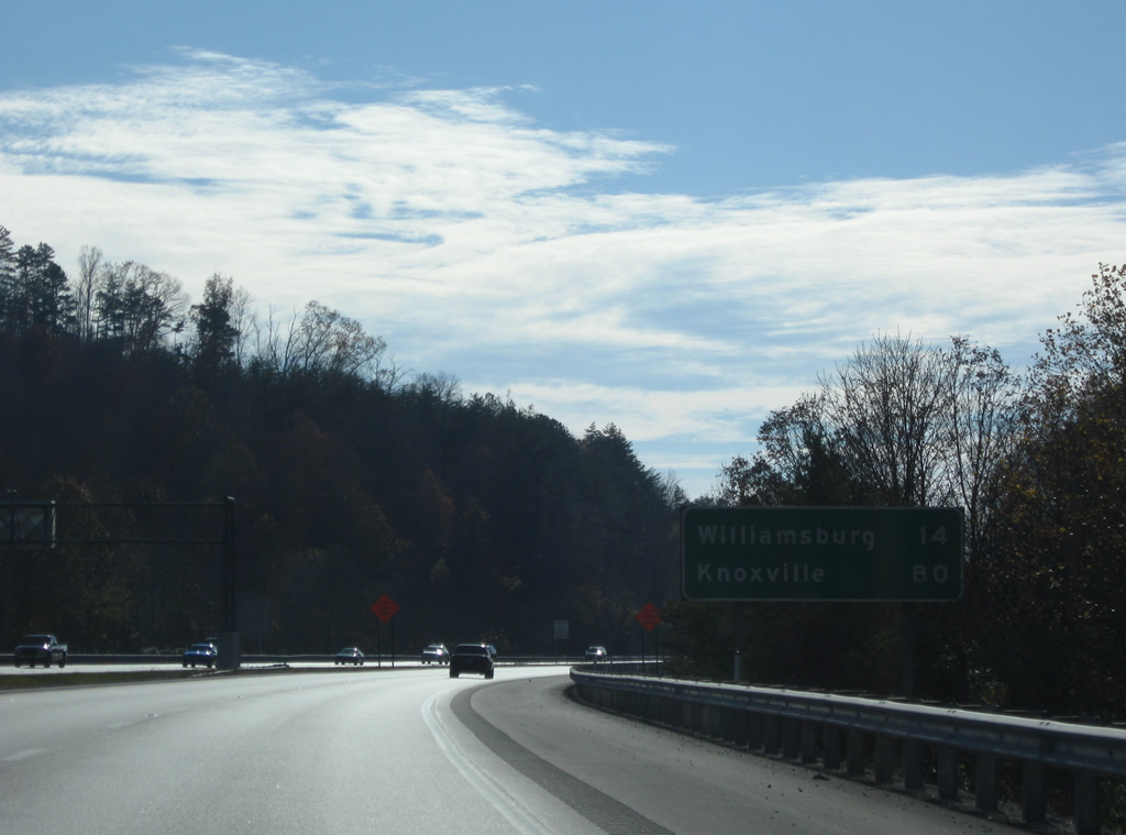
| Interstate 75 crosses Lynn Camp Creek and enters Whitley County. Williamsburg, the county seat, is the last city along Interstate 75 south from Corbin in 18 miles. 11/08/09 |
|
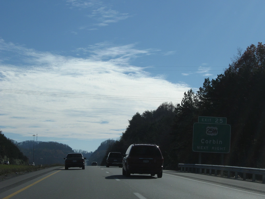
| U.S. 25W follows Dixie Highway and Main Street through Corbin to a western turn on 18th Street to the Cumberland Falls Highway diamond interchange (Exit 25) with Interstate 75 in one mile. 11/08/09 |
|
| Continuing southward, U.S. 25W (Cumberland Falls Highway) arcs westward to KY 90 before turning southeasterly eight miles to Interstate 75 again at Goldbug. 11/08/09 |
|
| Exit 25 falls within a valley in southwest Corbin. U.S. 25W and Interstate 75 generally parallel each other from the city south to Williamsburg and Jellico, Tennessee. 11/08/09 |
|
| Reassurance shield and distance sign posted as Interstate 75 leaves Corbin for Williamsburg. Knoxville is 80 miles to the south. 11/08/09 |
|
| The scene along Interstate 75 west of Faber. 11/08/09 |
|
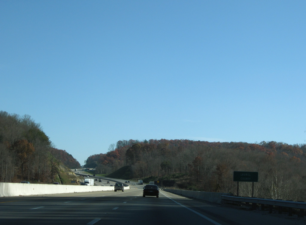
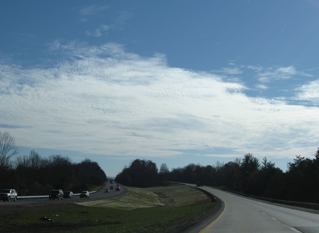
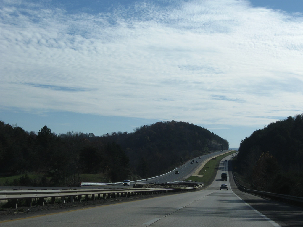
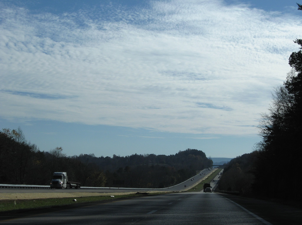
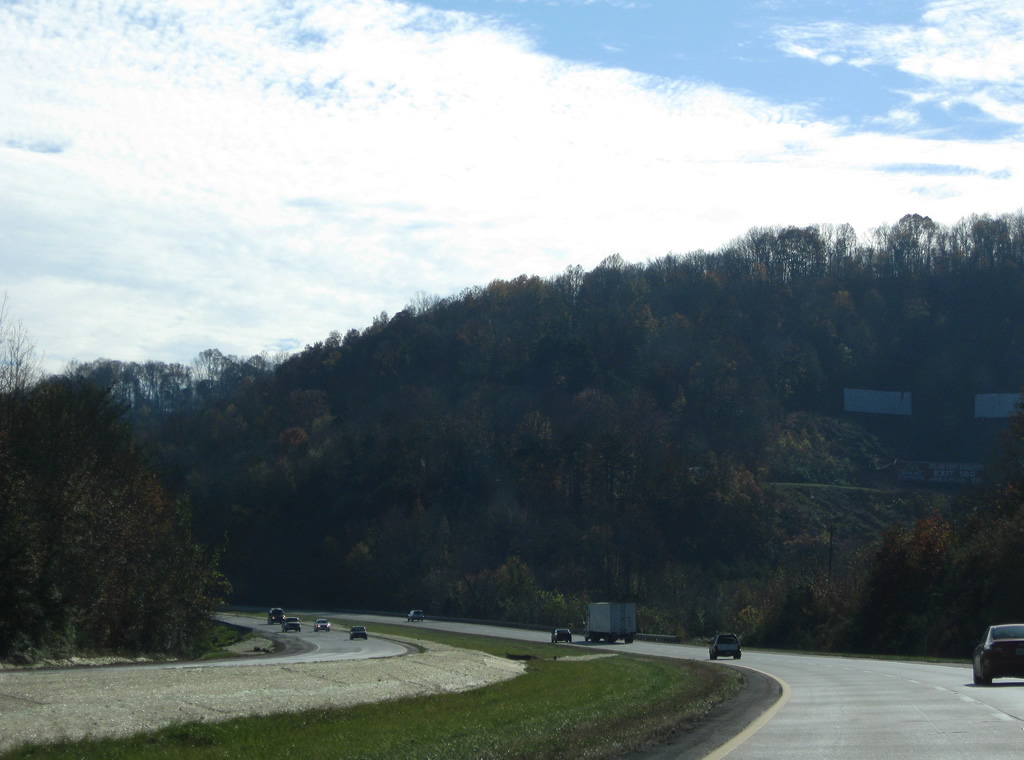
| Passing by agricultural areas south of Walden. The final 27.94 miles of Interstate 75 run wholly within Whitley County. 11/08/09 |
|
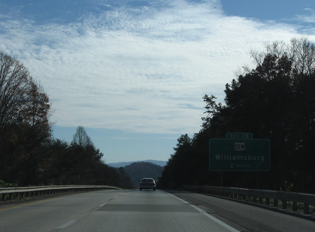
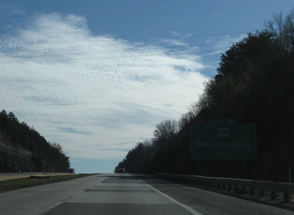
| Spanning KY 836 (Cripple Creek Road), I-75 advances two miles south to a diamond interchange (Exit 15) with U.S. 25W. 11/08/09 |
|
| U.S. 25W crosses paths with Interstate 75 at the settlement of Goldbug and continues six miles south east to Williamsburg. 11/08/09 |
|
| U.S. 25W circumvents Williamsburg to the east as KY 296 follows Main Street through Downtown. Exit 11 provides access to the south side of town. 11/08/09 |
|
| Sinking toward the crossing of the Cumberland River along Interstate 75 south beyond Exit 15. 11/08/09 |
|
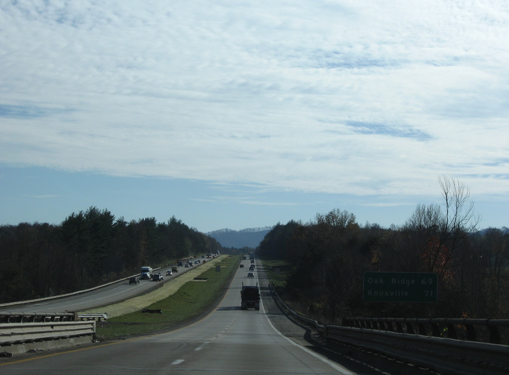
| Crossing Croley Bend of the Cumberland River, Oak Ridge is the next control point on I-75 south for the connection with Tennessee State Route 61 south. 11/08/09 |
|
| Mount Morgan rises to the west of Interstate 75 between the hill and Williamsburg to the east. 11/08/09 |
|
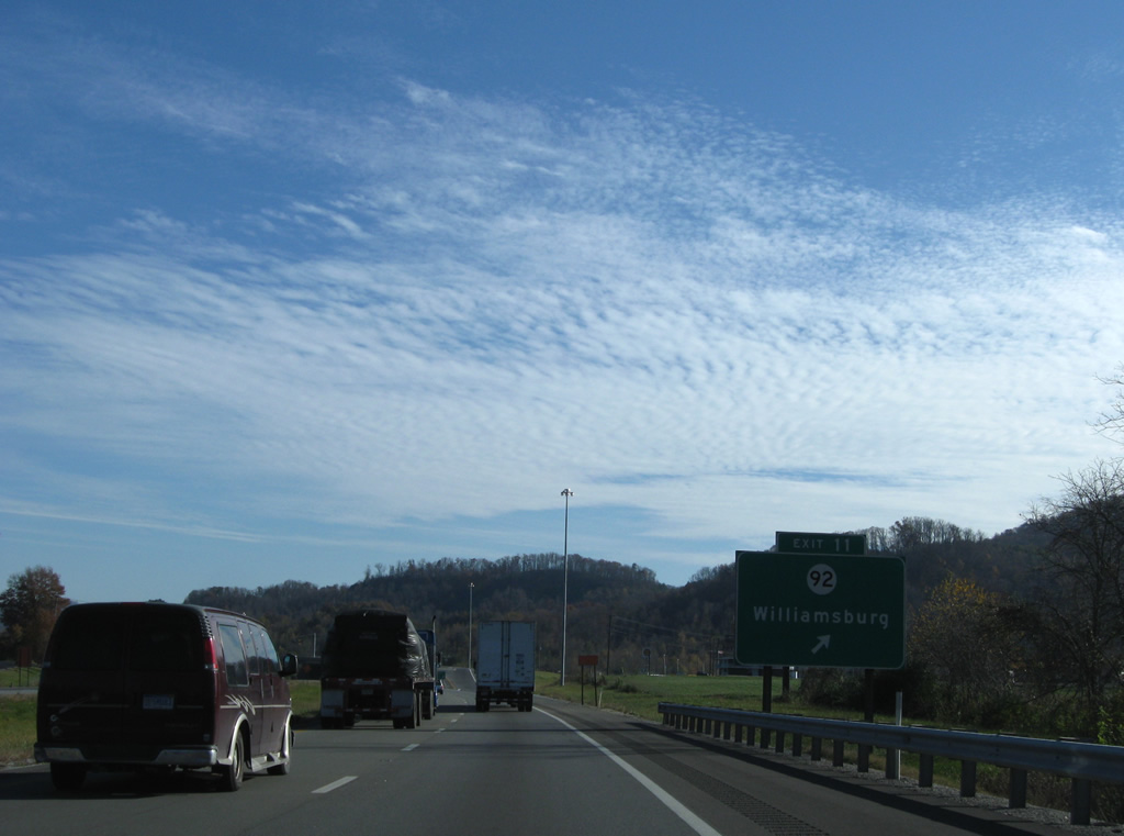
| A single point urban interchange (SPUI) joins Interstate 75 south with KY 92 at Balltown, just outside Williamsburg. Exit 11 serves interests to Big South Fork National River and Recreation Area via KY 92 west and University of the Cumberlands via KY 2386 (Old U.S. 25W) north nearby. 11/08/09 |
|
| KY 92 merges briefly with the U.S. 25W north before resuming an eastward trek along the Cumberland River to Julip and Pineville. West from Exit 11, KY 92 travels 19 miles to Pine Knot (U.S. 27) and overall to Monticello and Lake Cumberland. 11/08/09 |
|
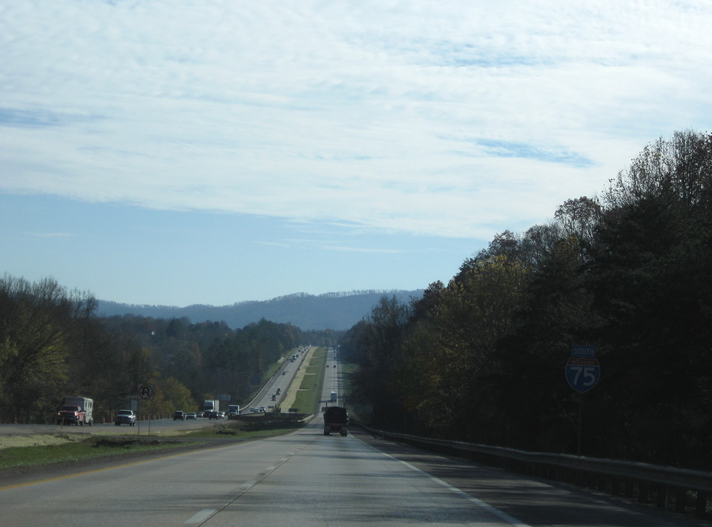
| Traveling uninterrupted to the Tennessee state line, Interstate 75 next meets Jellico in 12 miles. 11/08/09 |
|
| Spanning KY 2986 (Bob Lay Road) on the bend by Hog Jowl Mountain and Pleasant View. 11/08/09 |
|
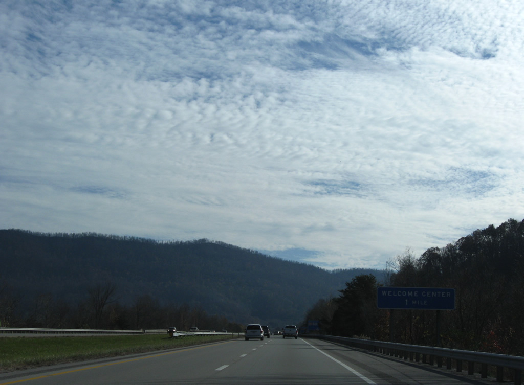
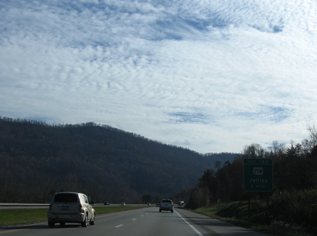
| Pine Mountain comes into view from the valley floor by Clear Fork of the Cumberland River. A sign advises drivers of the forthcoming rest area and tourist information center at Jellico, Tennessee. 11/08/09 |
|
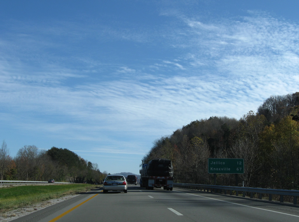
| U.S. 25W travels west of Heckler Knob into Jellico, Tennessee from Saxton, Kentucky. Exit 160 is the first Volunteer State exit with U.S. 25W along 5th Street in one mile. 11/08/09 |
Page Updated 03-10-2012.

 South
South