|
| Advancing south from Fort Chiswell, Interstate 77 traverses agricultural land to Glade Creek and Chestnut Ridge. 06/17/05 |
|
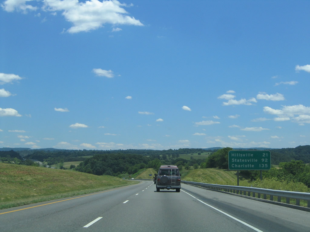
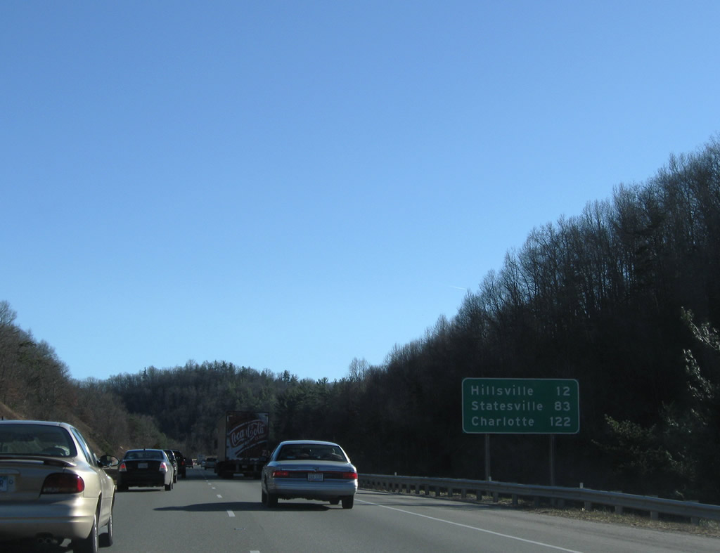
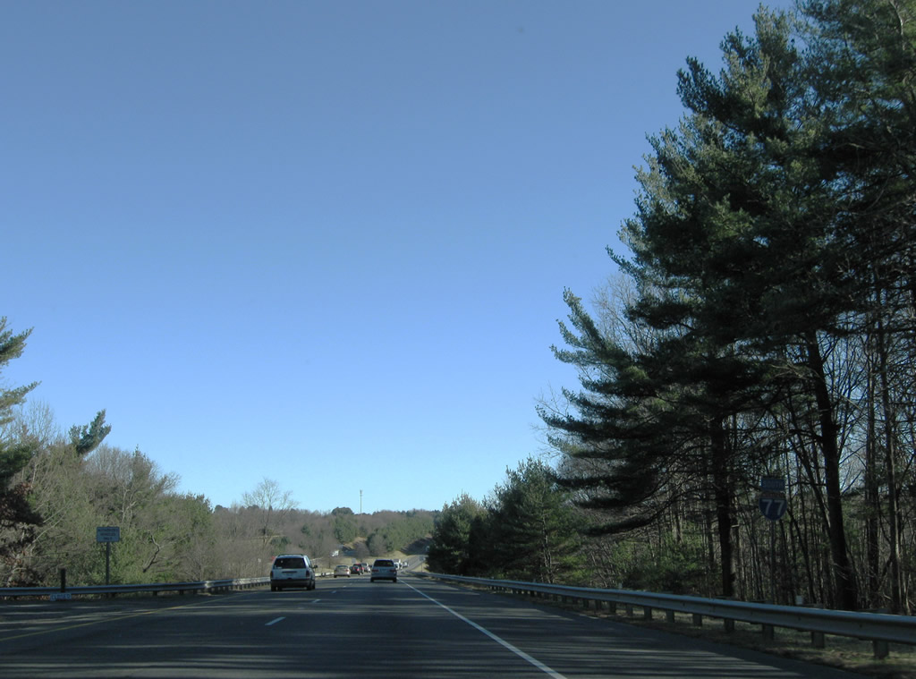
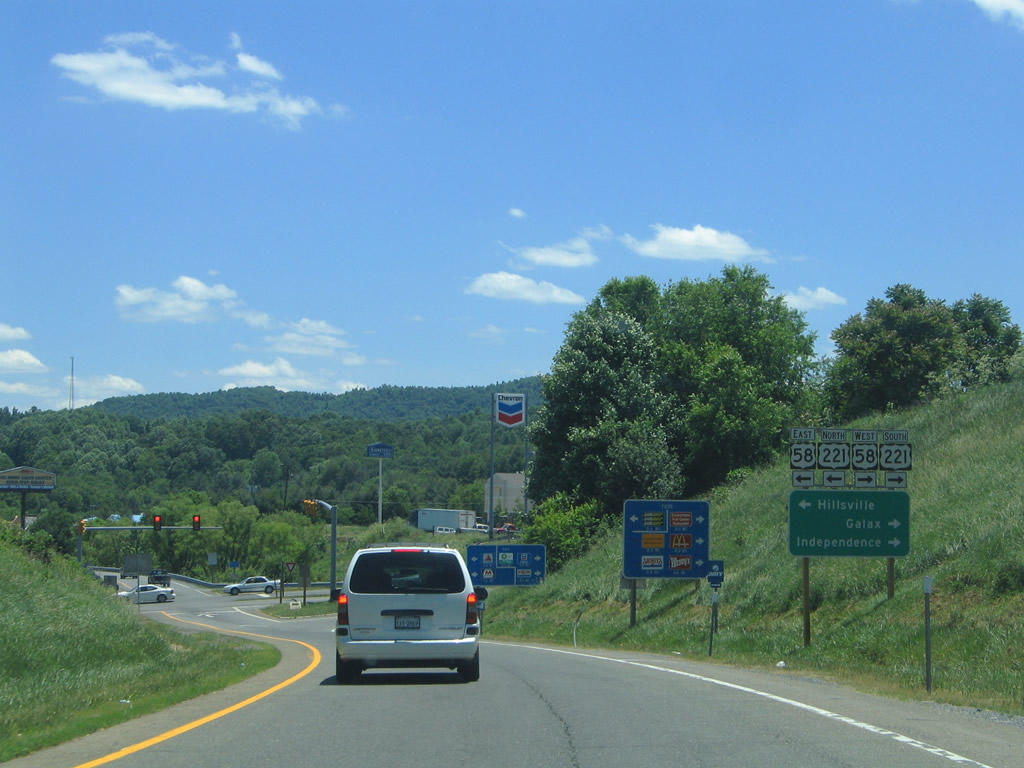
| The town of Hillsville is 21 miles to the southeast along U.S. 58/221. Statesville, North Carolina, where I-77 meets I-40, is 92 miles away. 06/17/05 |
|
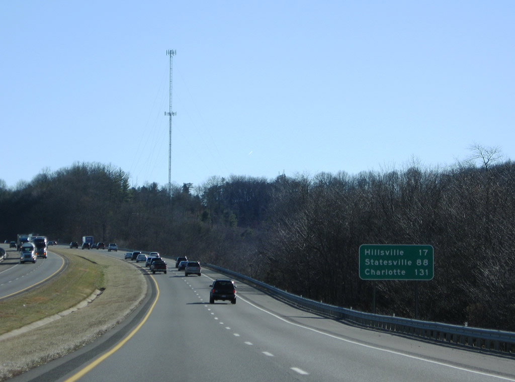
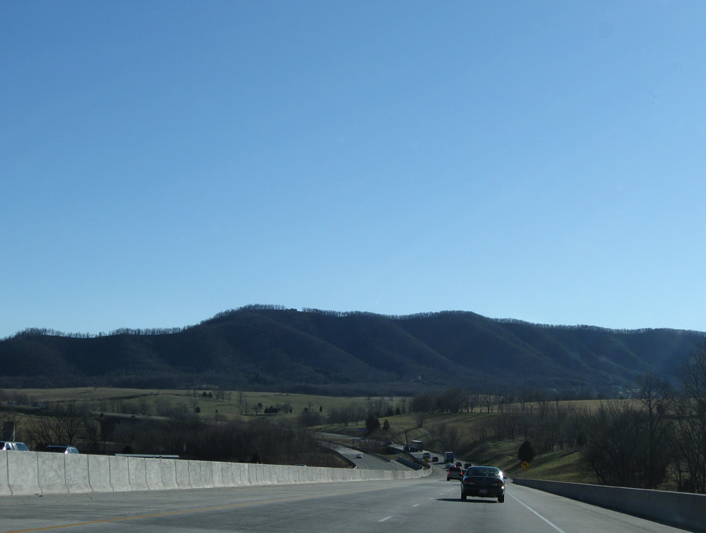
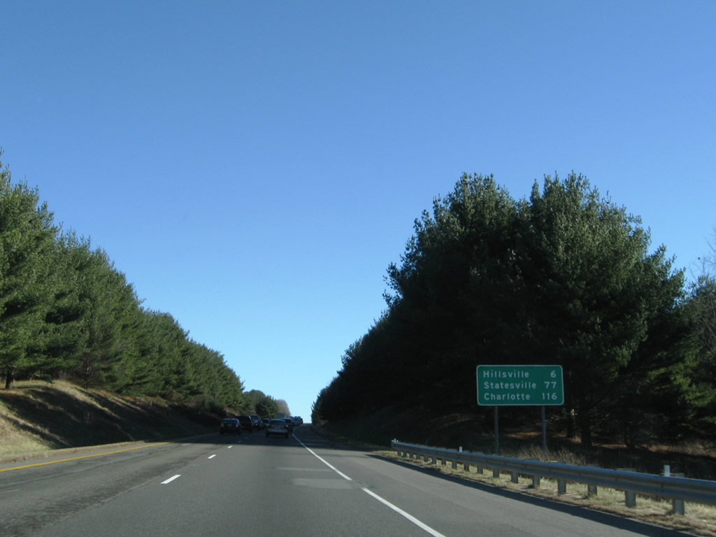
| Rising to pass over Hematite Mountain, Interstate 77 continues 17 miles to Hillsville and 131 miles to Charlotte, North Carolina. 12/30/08 |
|
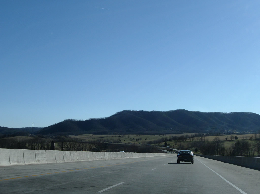
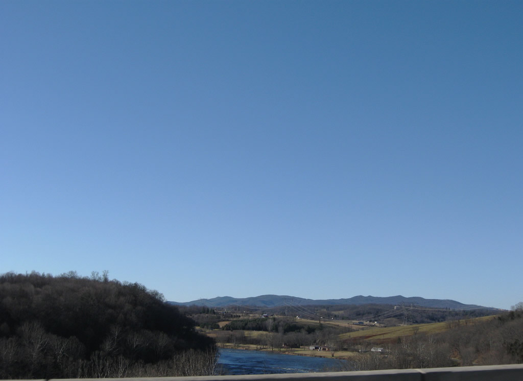
| Interstate 77 spans U.S. 52 (Fort Chiswell Road) and the New River across a high level bridge south from Hematite Mountain. 12/30/08 |
|
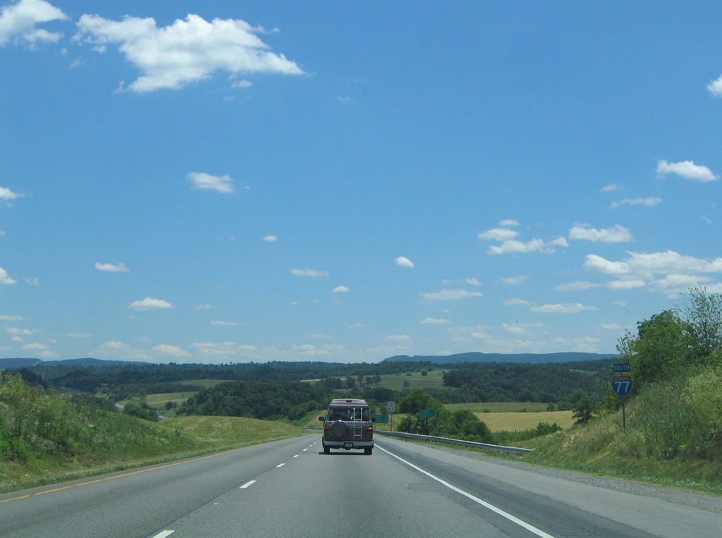
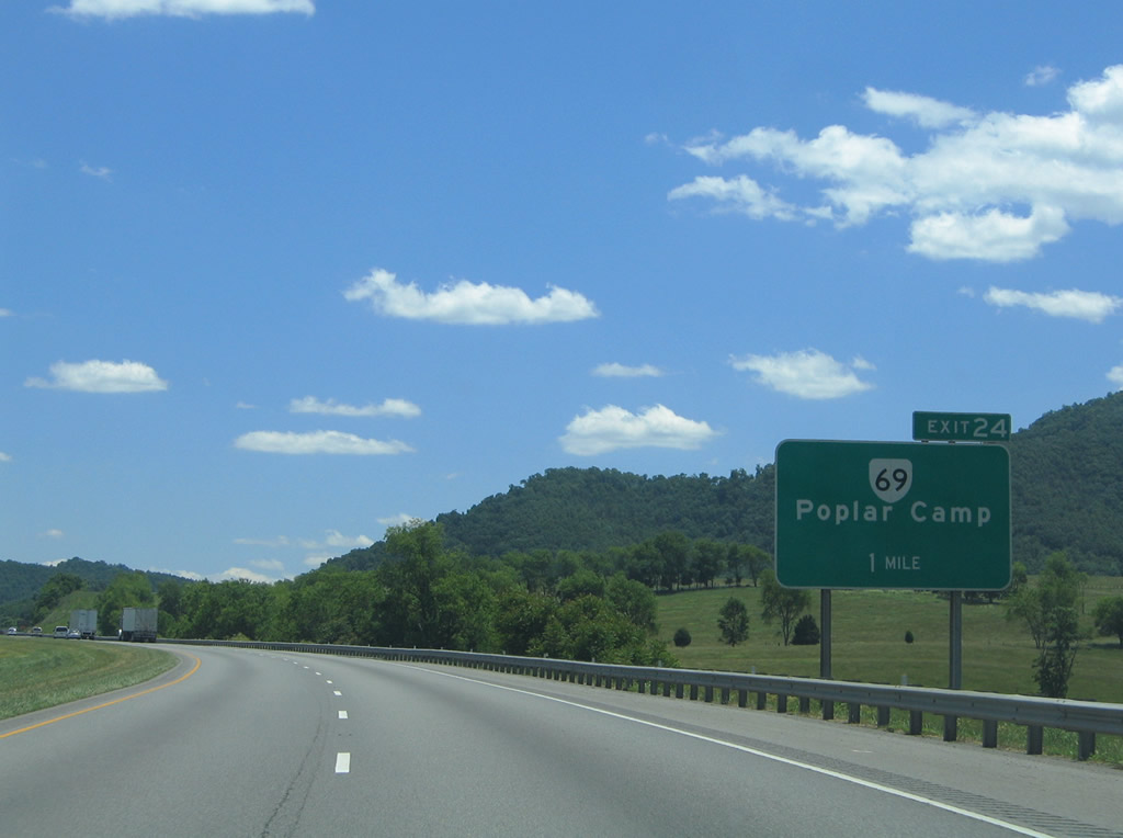
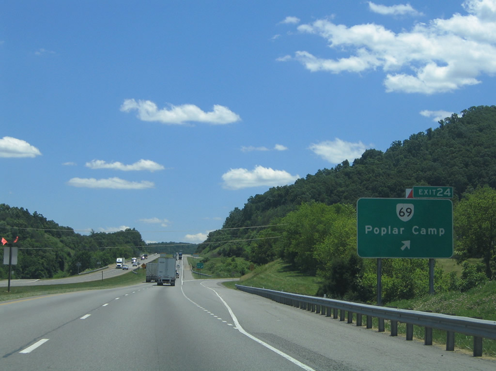
| Ascending toward Poplar Camp Mountain, I-77 meets SR 69 (Lead Mine Road) at a diamond interchange (Exit 24) just west of U.S. 52 (Fort Chiswell Road) at Poplar Camp. 06/17/05 |
|
| SR 69 (Lead Mine Road) runs 3.59 miles west from U.S. 52 (Fort Chiswell Road) to Bethany and SR 636 (Store Hill Road) at Austinville. 06/17/05 |
|
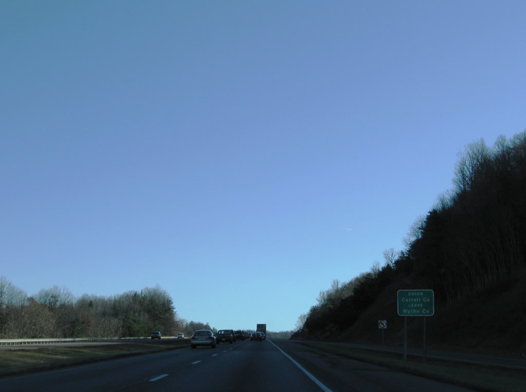
| Interstate 77 enters Carroll County just south of SR 69 on Poplar Camp Mountain. 12/30/08 |
|
| This confirming marker precedes the SR 743 (Pleasant View Road) underpass on Poplar Camp Mountain. 12/30/08 |
|
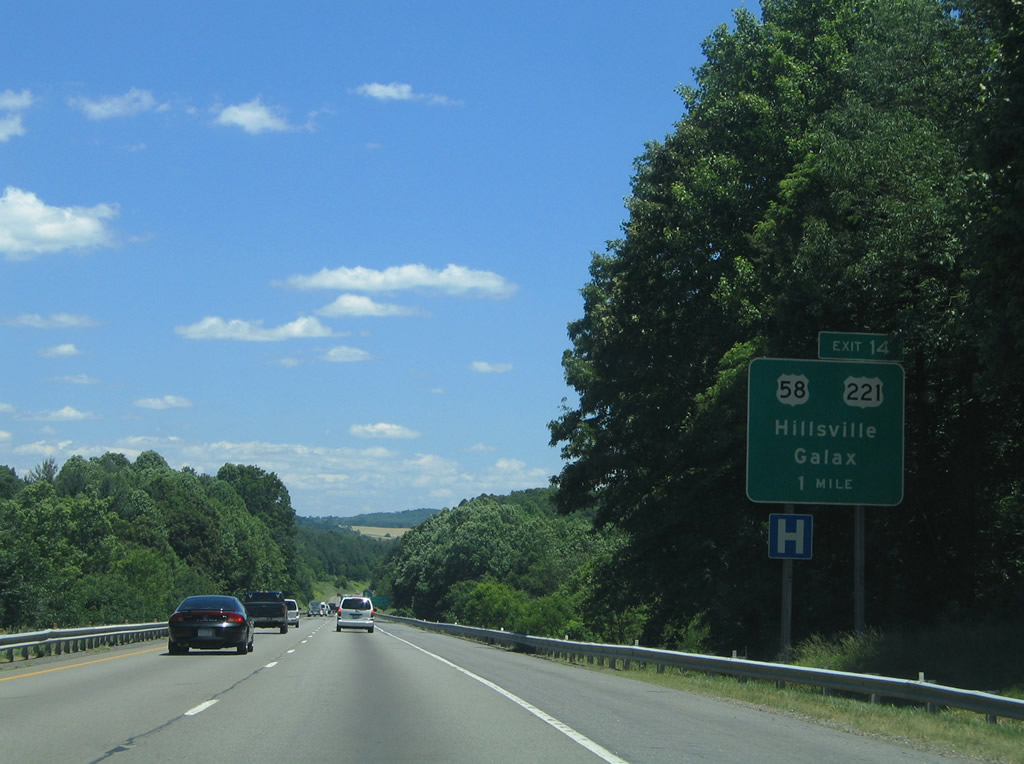
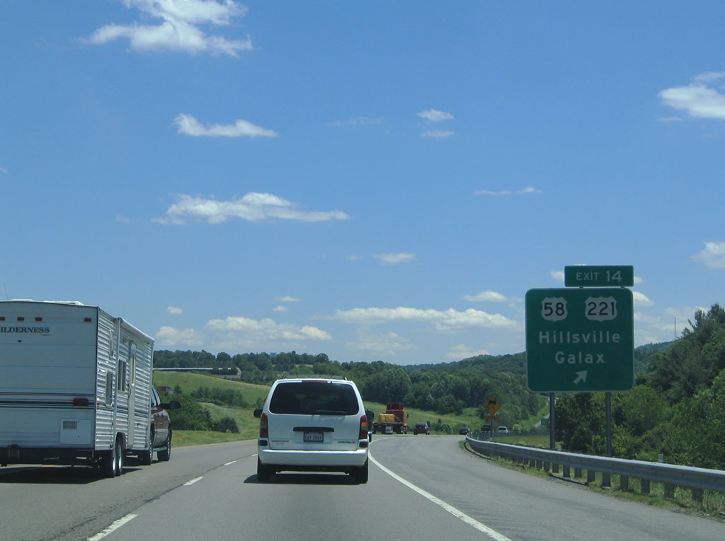
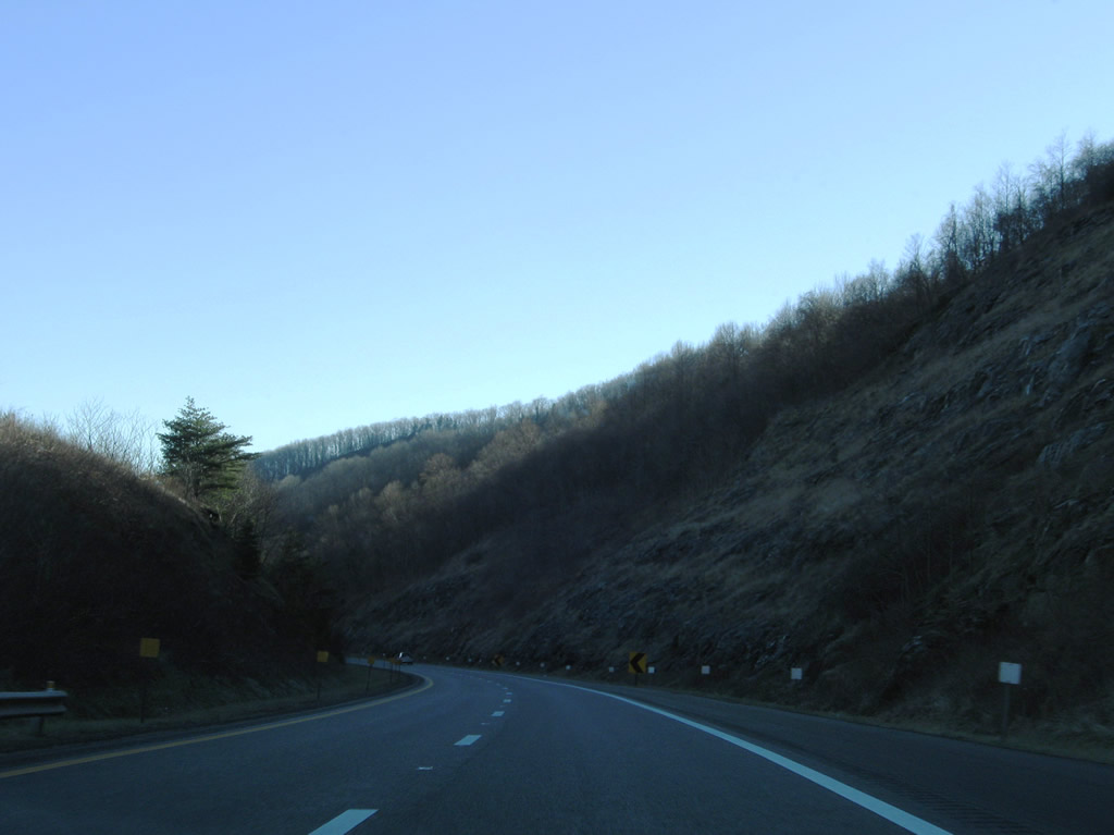
| Interstate 77 proceeds through a series of S-curves from Poplar Camp Mountain toward Hillsville at Exit 14. 12/30/08 |
|
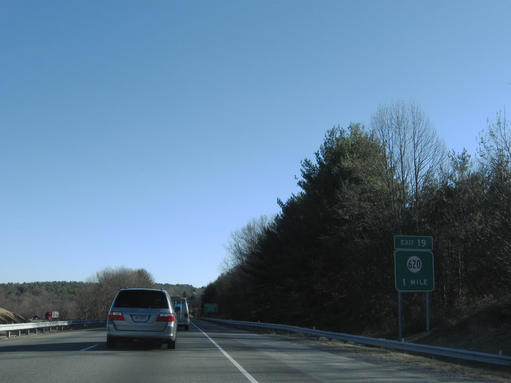
| Angling southeast, Interstate 77 meets SR 620 (Coulson Church Road) at a diamond interchange (Exit 19) near Twin County Airport (HLX). 12/30/08 |
|
| SR 620 winds 2.72 miles northeast from I-77 at Exit 19 to U.S. 52 (Poplar Camp Road). Coulson Church Road continues 5.62 miles south to U.S. 58/221 at Woodlawn. 12/30/08 |
|
| Paralleling SR 743 (Airport Road), Interstate 77 heads southeast past Five Forks toward the town of Hillsville. 12/30/08 |
|
| U.S. 58/221 (Carrollton Pike) combine 1.22 miles east of I-77 at the Hillsville Bypass. The two routes overlap west from Exit 14 to Galax and Independence. 06/17/05 |
|
| U.S. 58/221 travel 27 miles west from Hillsville to Independence. East of Hillsville, U.S. 58 continues to Meadows of Dan and Stuart while U.S. 221 meanders northeast to Dugspur and Floyd. 06/17/05 |
|
| Beyond their separation at Independence, U.S. 58 continues west to Mouth of Wilson while U.S. 221 turns southward to Boone, North Carolina. 06/17/05 |
|
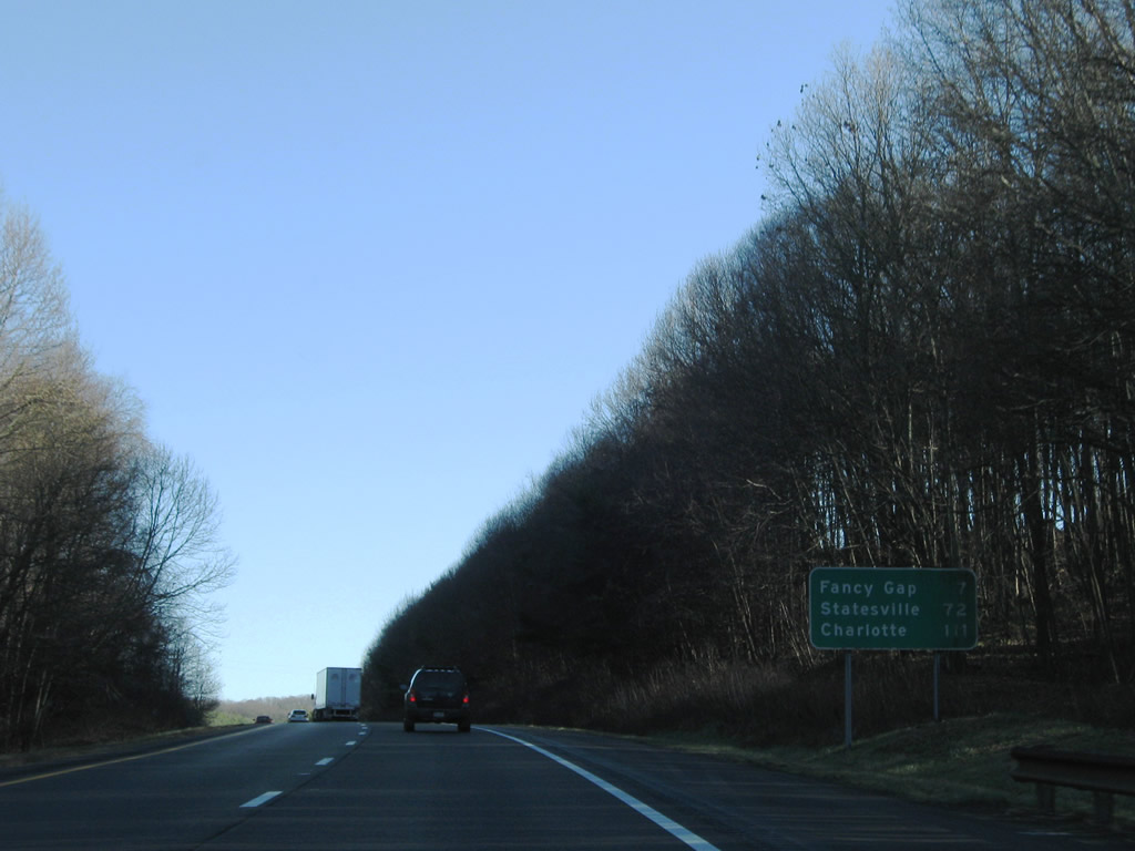
| Seven miles to the south, the community of Fancy Gap lies west of Mitchell Knob in the Blue Ridge Mountains. I-77 reaches Charlotte, North Carolina in 111 miles. 12/30/08 |
|
| Passing over Bronco Road (SR 703) along Interstate 77 south between Eona and Gardner Mills. 12/30/08 |
|
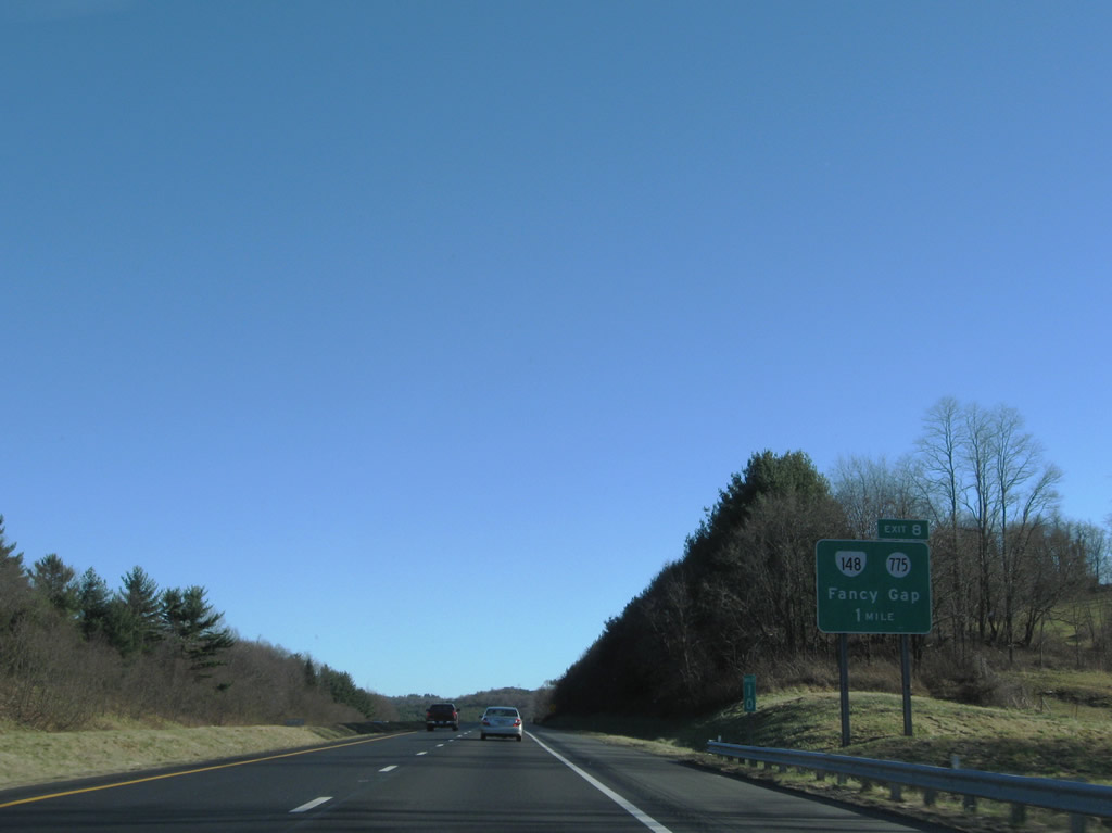
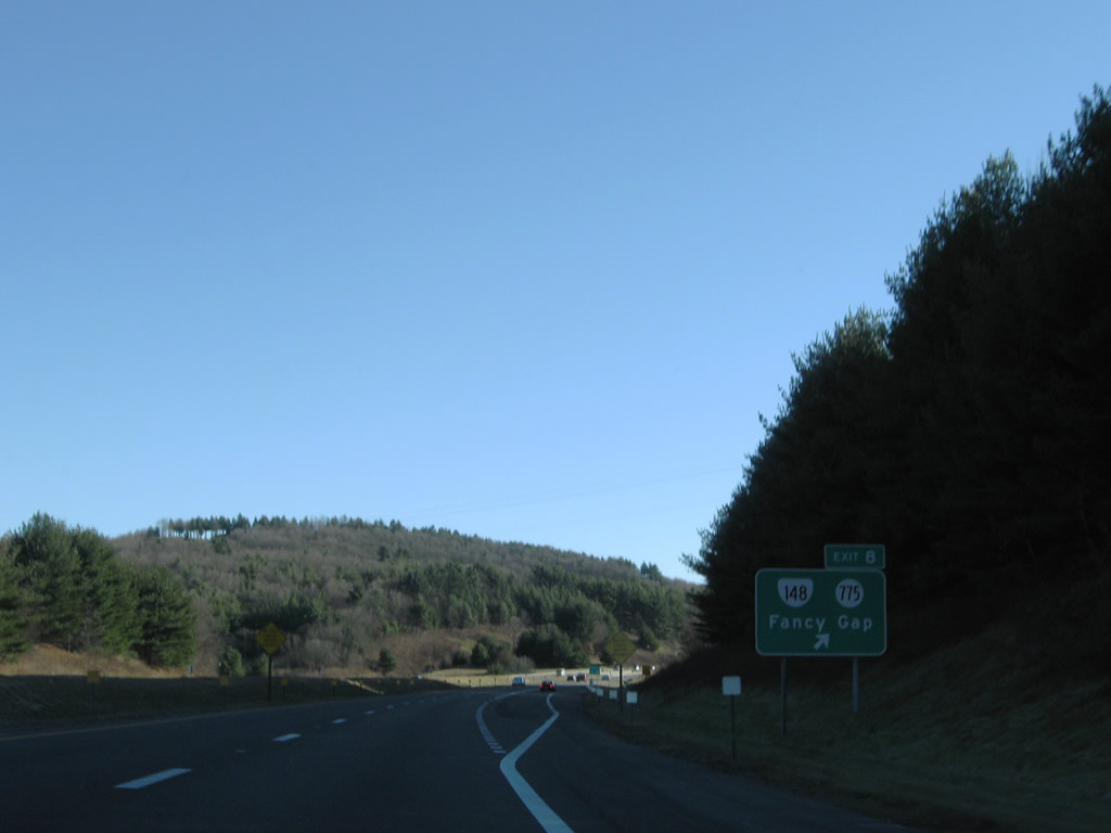
| A diamond interchange joins I-77 with SR 148 east and SR 775 west (Chances Creek Road) at Exit 8. SR 148 is a 0.87 mile link between I-77 and U.S. 52. 12/30/08 |
|
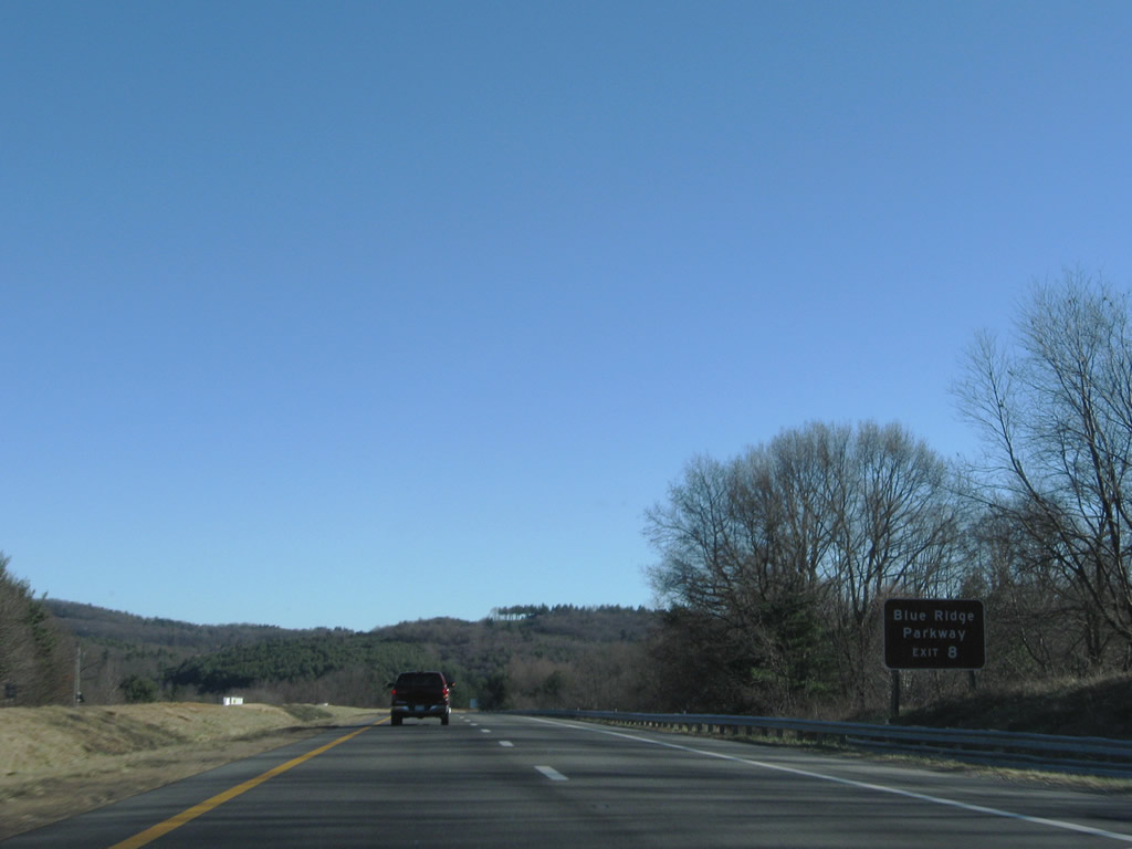
| SR 148 (Chances Creek Road) east to U.S. 52 (Fancy Gap Highway) south connects I-77 with Blue Ridge Parkway. 12/30/08 |
|
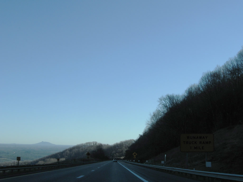
| Heavy truck traffic is prohibited from U.S. 52 (Fancy Gap Highway) south through Fancy Gap. 12/30/08 |
|
| Exit 8 leaves Interstate 77 south for SR 148 east and SR 775 west. SR 775 (Chances Creek Road) heads 6.72 miles southwest to SR 97 (Pipers Gap Road) at Drenn. 12/30/08 |
|
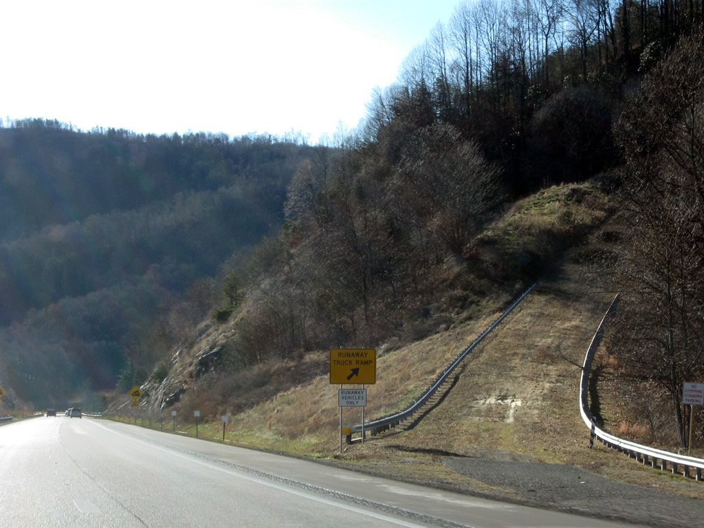
| Truckers are advised to user lower gear over the ensuing 7.5 miles across the Blue Ridge Mountains. 12/30/08 |
|
| Interstate 77 straddles the side of Blue Ridge at an elevation between 2,700 and 2,200 feet between the Blue Ridge Parkway and Wheeler Knob. 12/30/08 |
|
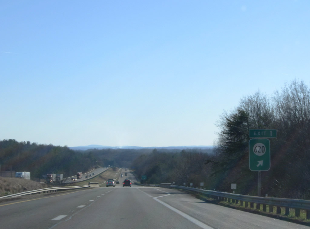
| Lowering from Blue Ridge, I-77 enters a folded diamond interchange (Exit 1) with SR 620 near Lamsburg. SR 620 follows Old Pipers Gap Road east to Pipers Gap Road in North Carolina and Lamsburg Road north to become SR 97 at Drenn and Blue Ridge Parkway. 12/30/08 |
|
| The final Interstate 77 shield posted in Virginia. A rest area and the North Carolina Welcome center follow. 12/30/08 |
|
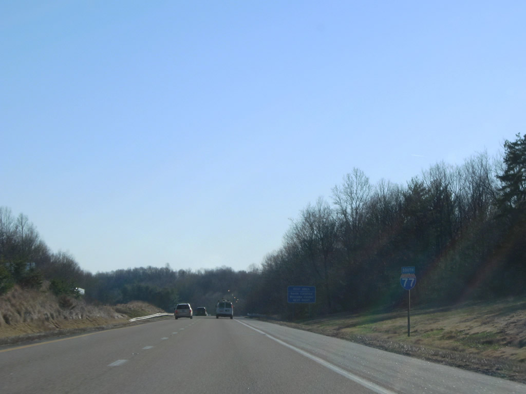
| Interstate 74 commences alongside I-77 south from the Virginia state line in Surry County. 12/30/08 |
Page Updated 05-01-2021.

 South
South