|
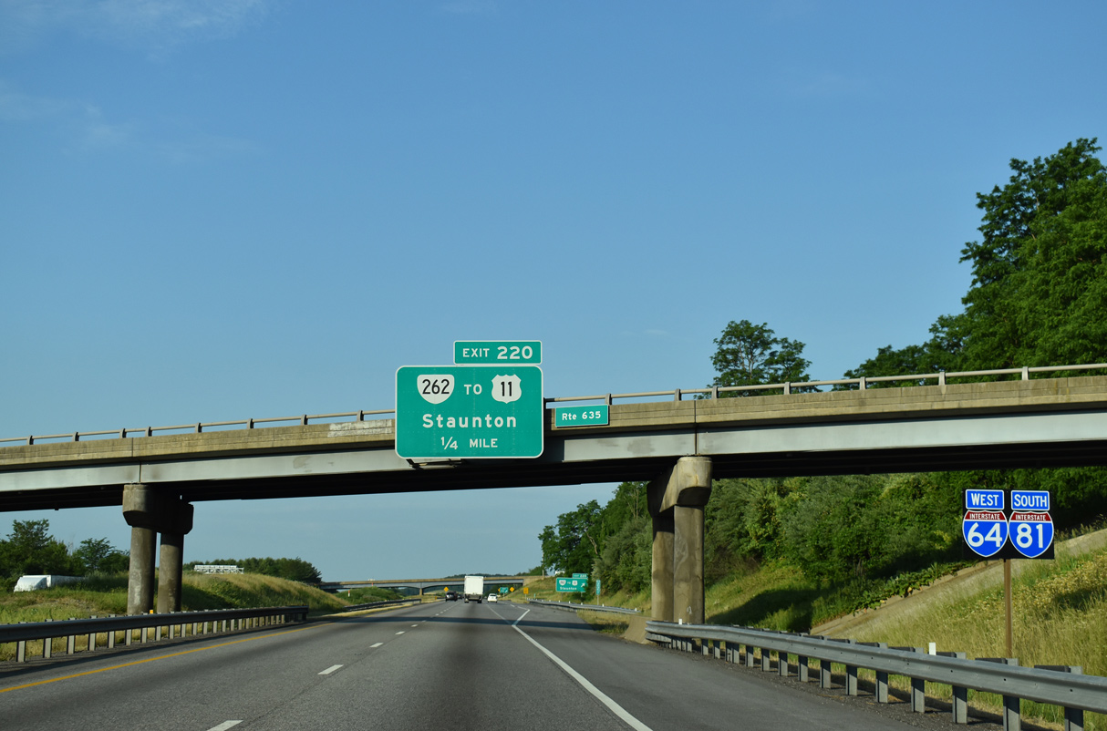
| I-64/81 combine south ahead of the SR 635 (Barterbrook Road) overpass and Exit 220. SR 262 (Woodrow Wilson Parkway) constitutes a 13.91 mile long loop encircling Staunton north to I-81 at Exit 225 and SR 254 (Hermitage Road). 05/28/21 |
|
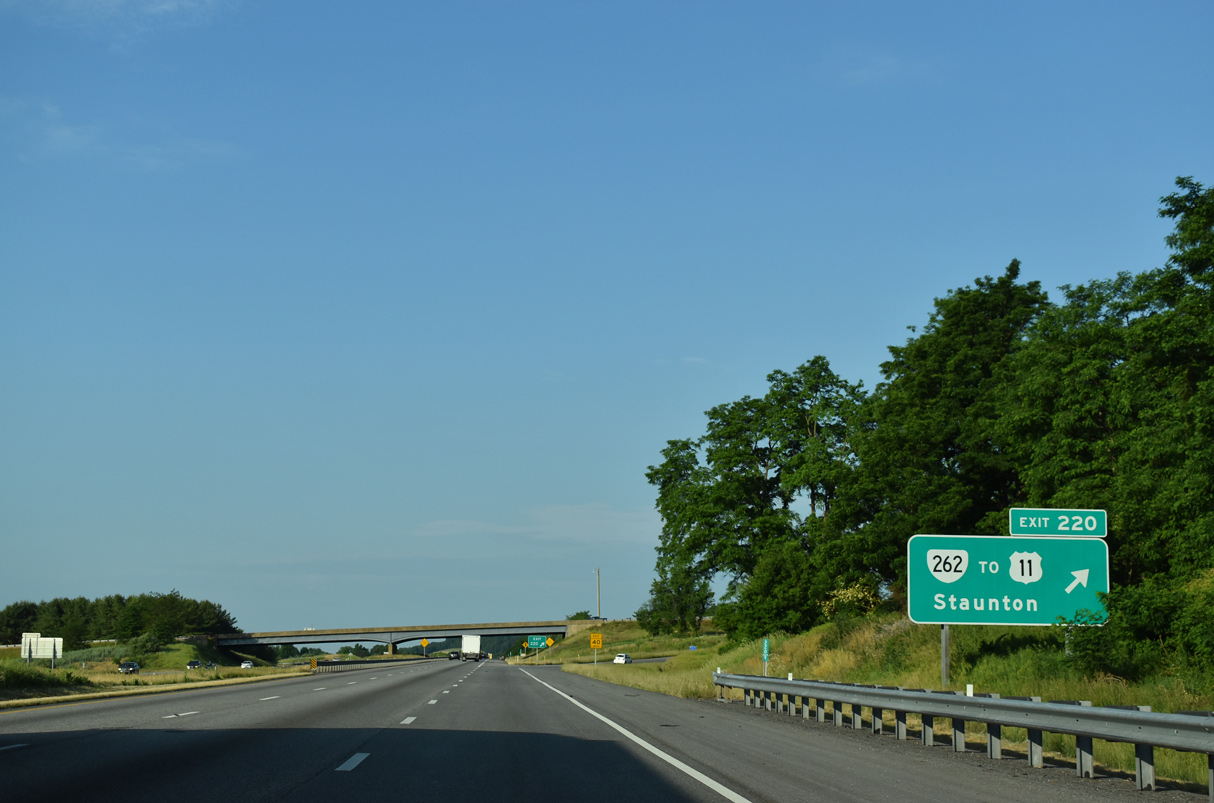
| SR 262 (Woodrow Wilson Parkway) follows a freeway west from the trumpet interchange at Exit 220 to U.S. 250, and a controlled access expressway east from there to I-81. 05/28/21 |
|
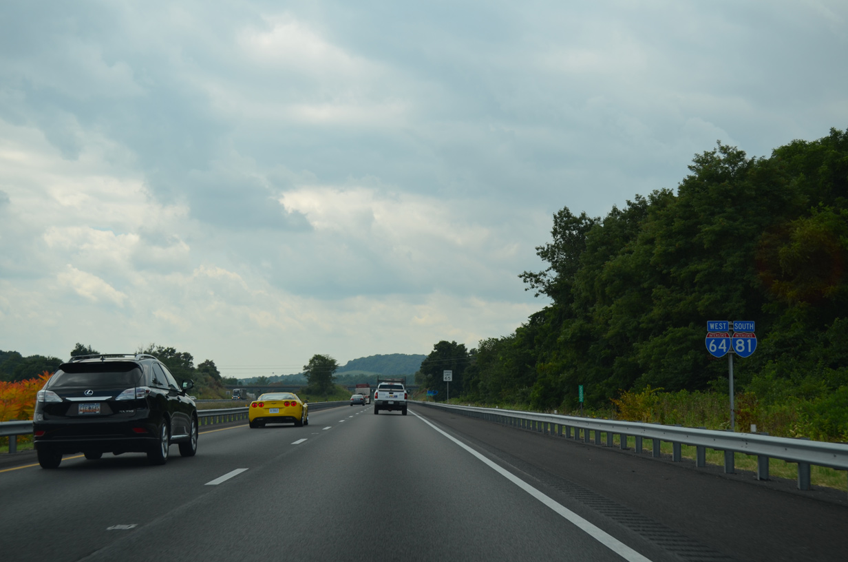
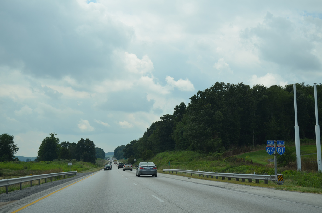
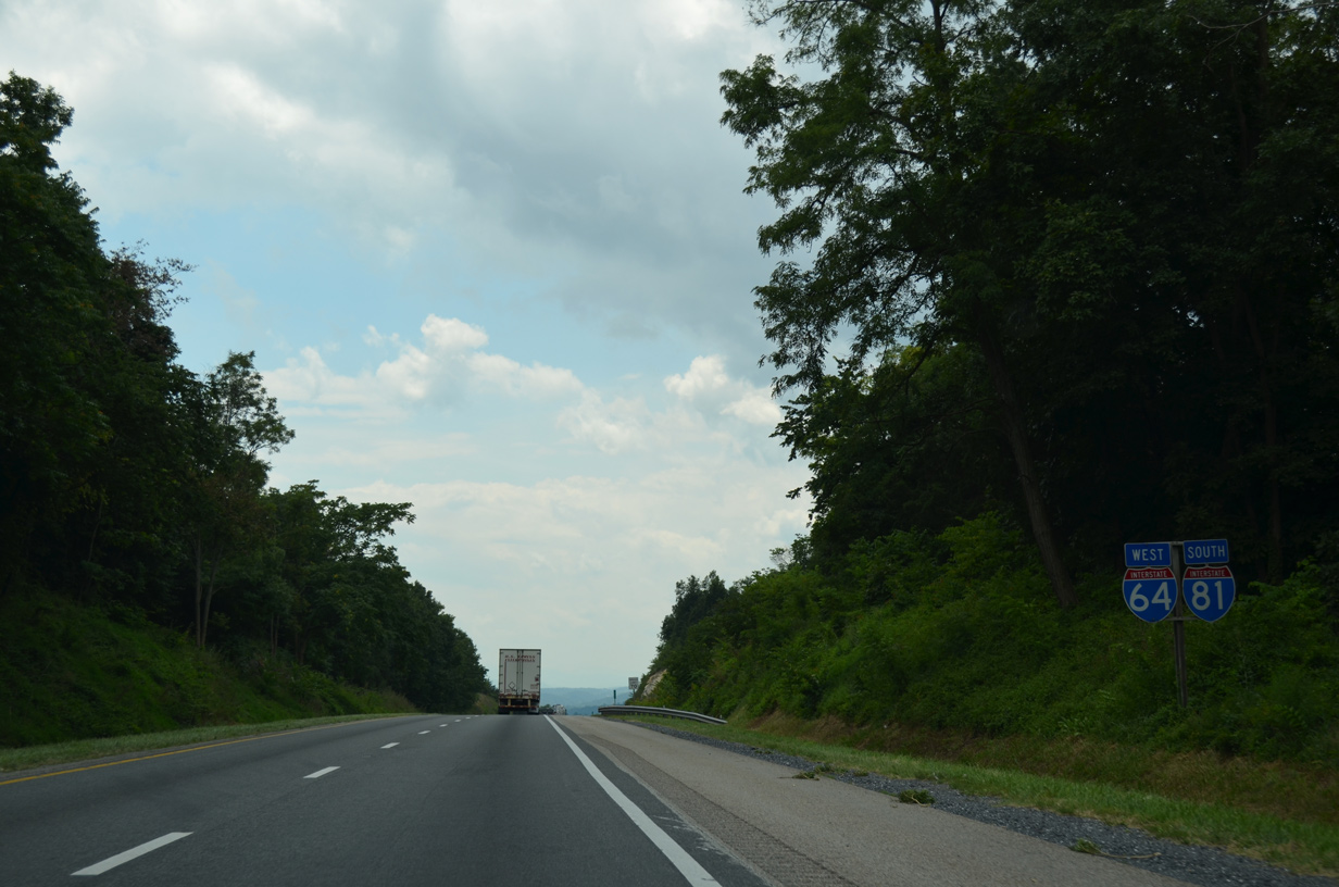
| I-64/81 confirming markers posted south of Jolivue and ahead of the SR 647 (Christians Creek Road) over crossing. 08/06/13 |
|
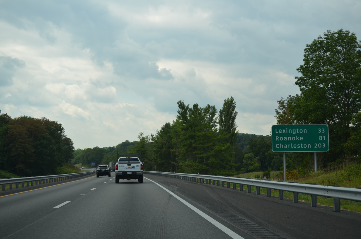
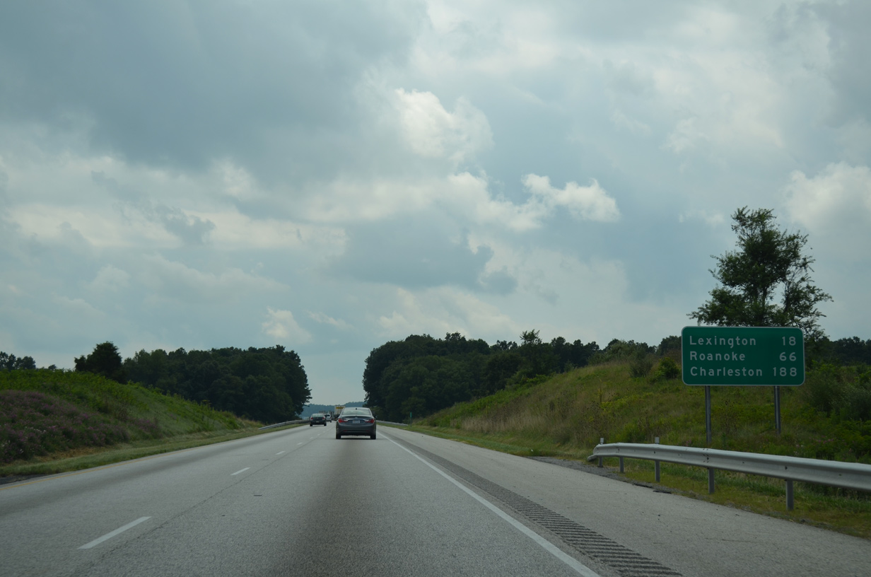
| I-64/81 overlap 30.40 miles southwest to the Lexington area. Roanoke follows in 81 miles. Charleston, West Virginia is 203 miles to the northwest via I-64 west to I-77 north. 08/06/13 |
|
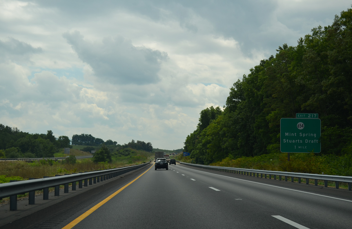
| I-64/81 advance south to a diamond interchange (Exit 217) with SR 654 (White Hill Road) at the unincorporated community of Mint Spring. 08/06/13 |
|
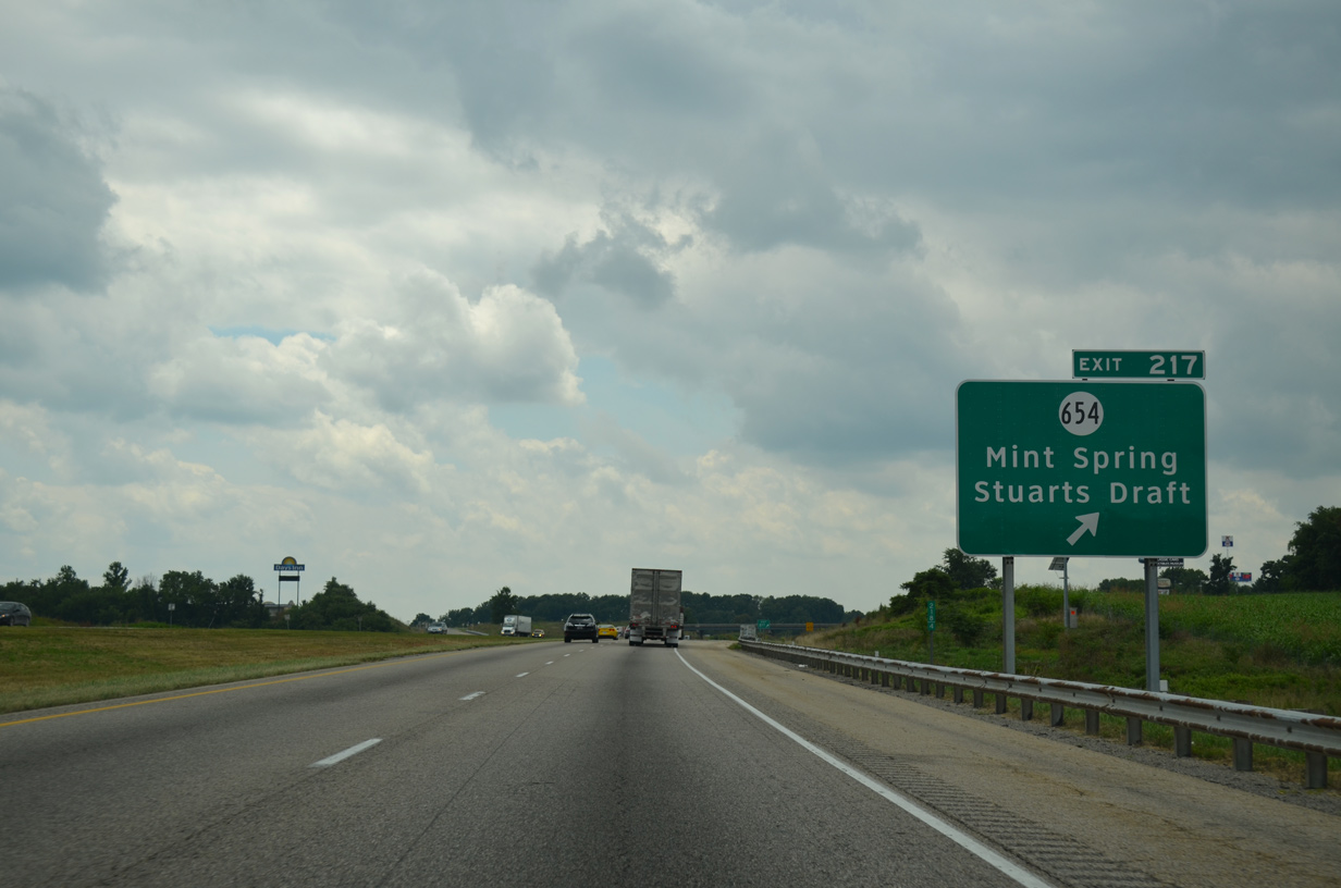
| SR 654 (White Hill Road) arcs 4.72 miles southeast from U.S. 11 (Lee Jackson Memorial Highway) at Mint Spring to U.S. 340 (Stuarts Draft Highway) at Stuarts Draft. 08/06/13 |
|
| The adjacent hilltops near Mint Spring rise to an elevation of 1,917 feet above sea level. 08/06/13 |
|
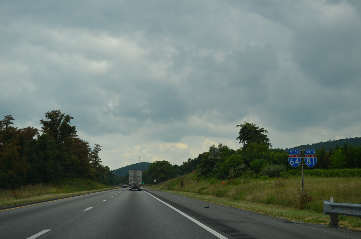
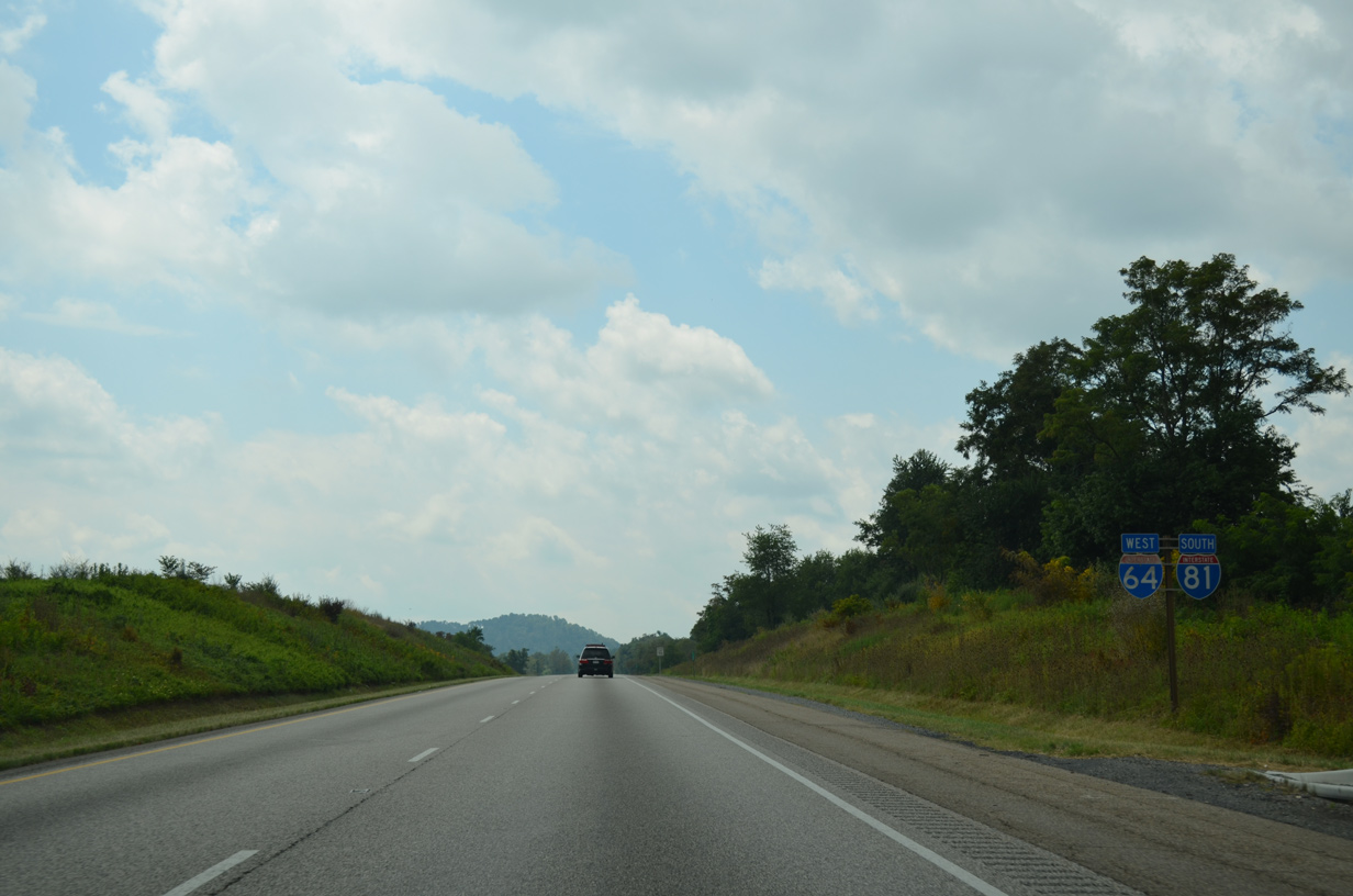
| 31 miles northeast of Lexington along I-64 west / I-81 south. 08/06/13 |
|
| A transmission corridor crosses Interstate 81 by the Walnut Hill Road (SR 655) overpass. 08/06/13 |
|
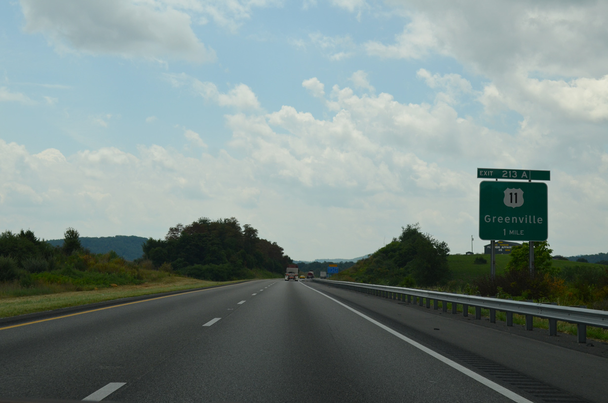
| Parallel U.S. 11 (Lee Jackson Memorial Highway) converges with I-64/81 at a parclo interchange (Exit 213) north of Greenville. 08/06/13 |
|
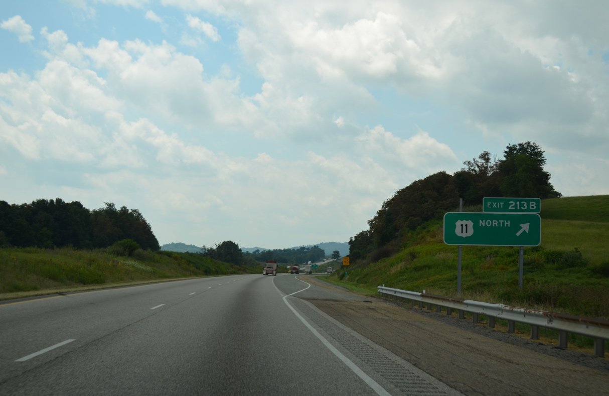
| Exit 213B leaves I-64/81 south for U.S. 11 (Lee-Jackson Highway) north ahead of SR 701 (Howardsville Road) west toward Middlebrook. 08/06/13 |
|
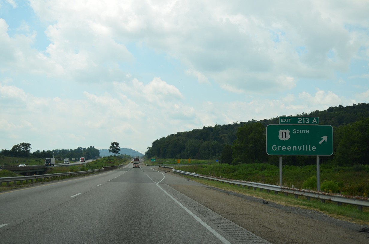
| Exit 213A loops onto U.S. 11 (Lee Jackson Memorial Highway) south to Greenville and Steeles Tavern. U.S. 340 (Stuarts Draft Highway) arcs northeast from nearby toward Stuarts Draft and Waynesboro. 08/06/13 |
|
| Old Greenville Road (SR 697) comes into view next to this distance sign. Old Greenville Road used to connect with Old Staunton Road south to U.S. 11 in Greenville. 08/06/13 |
|
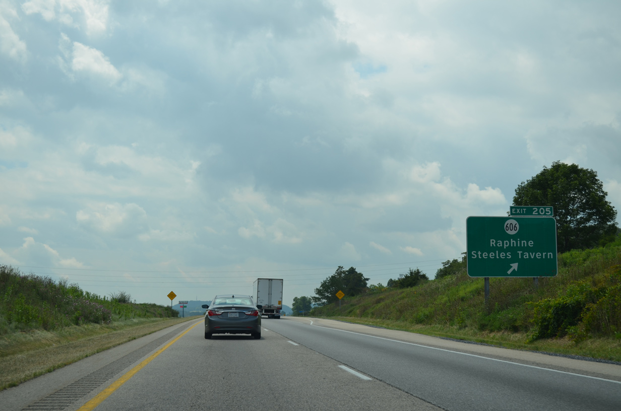
| I-64/81 advance south to a diamond interchange (Exit 205) with SR 606 (Raphine Road) at Raphine. Points of interest for Exit 205 include Cyprus McCormick Farm. 08/06/13 |
|
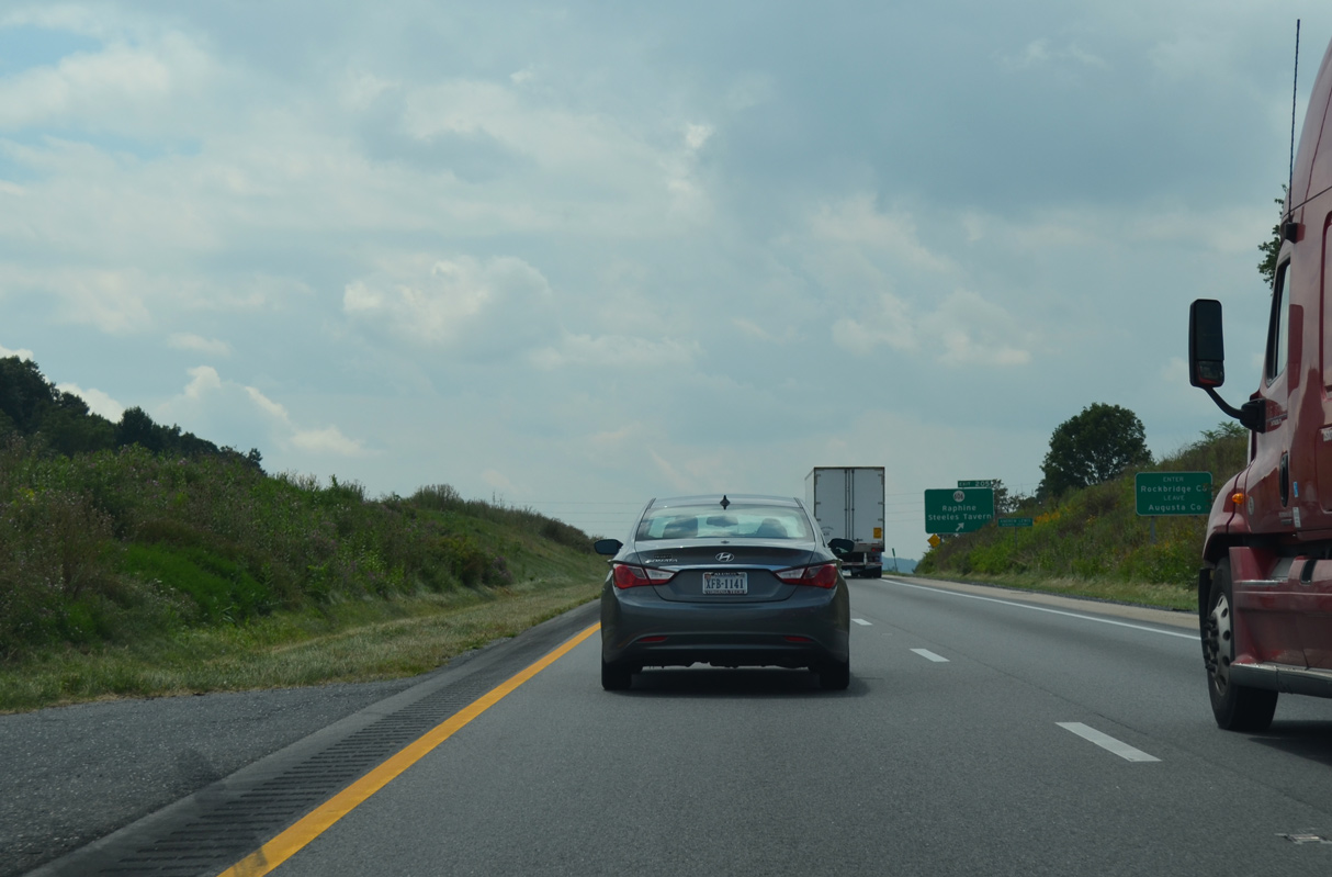
| I-64/81 enter Rockbridge County just north of Exit 205 to SR 606 (Raphine Road). 08/06/13 |
|
| SR 606 connects with U.S. 11 (Lee Highway) at Steeles Tavern 1.61 miles to the east. SR 56 ascends southward from Steeles Tavern to Vesuvius and Blue Ridge Parkway at Tye River Gap. 08/06/13 |
|
| I-64/81 run between Lusk Hill and Jonestown on the ensuing stretch southwest of Exit 205. 08/06/13 |
|
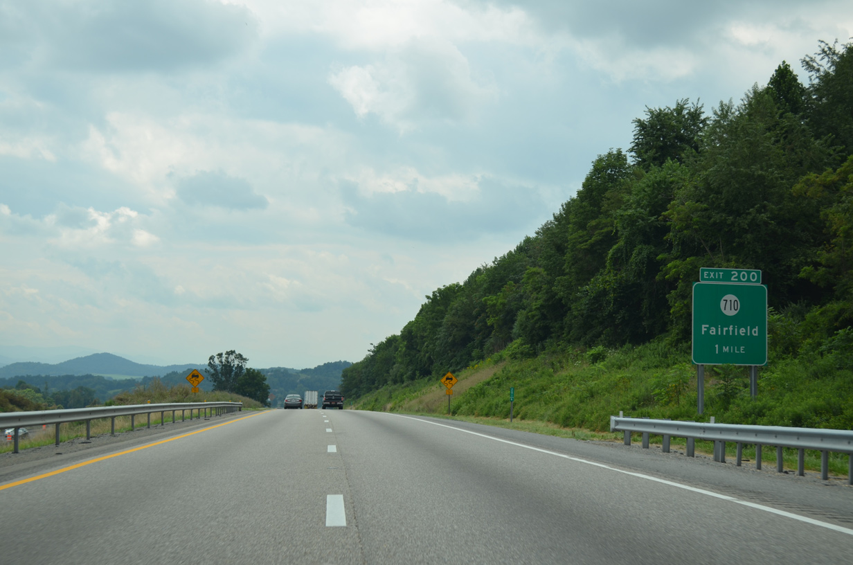
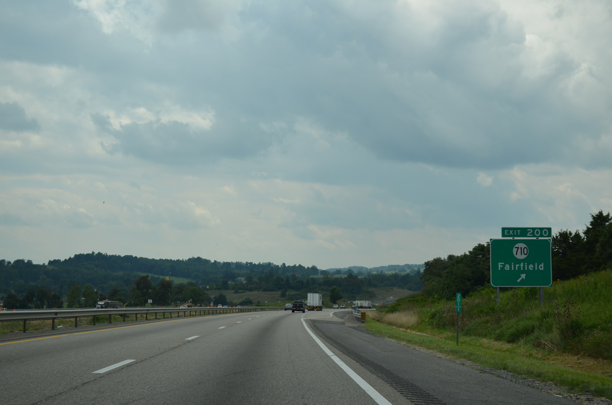
| A diamond interchange (Exit 200) joins I-64/81 with SR 710 (Huffman Road) at the rural community of Fairfield. 08/06/13 |
|
| Exit 200 was not an original interchange along Interstate 81. 08/06/13 |
|
| A 3.86 mile long route, SR 710 heads northwest from U.S. 11 at Fairfield to SR 252 (Brownsburg Turnpike) between Bustleburg and Brownsburg. 08/06/13 |
|
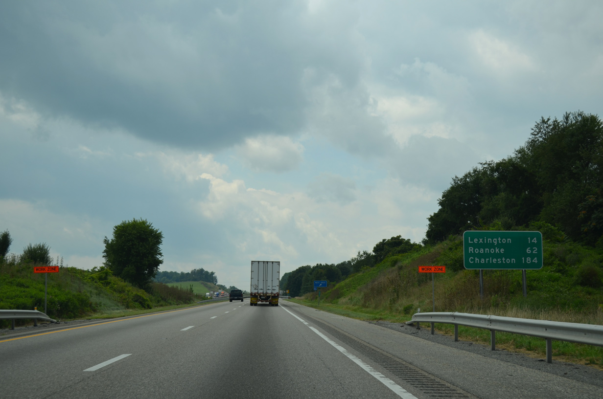
| Lexington is located just beyond the separation of I-64 west from I-81 south in 14 miles. 08/06/13 |
|
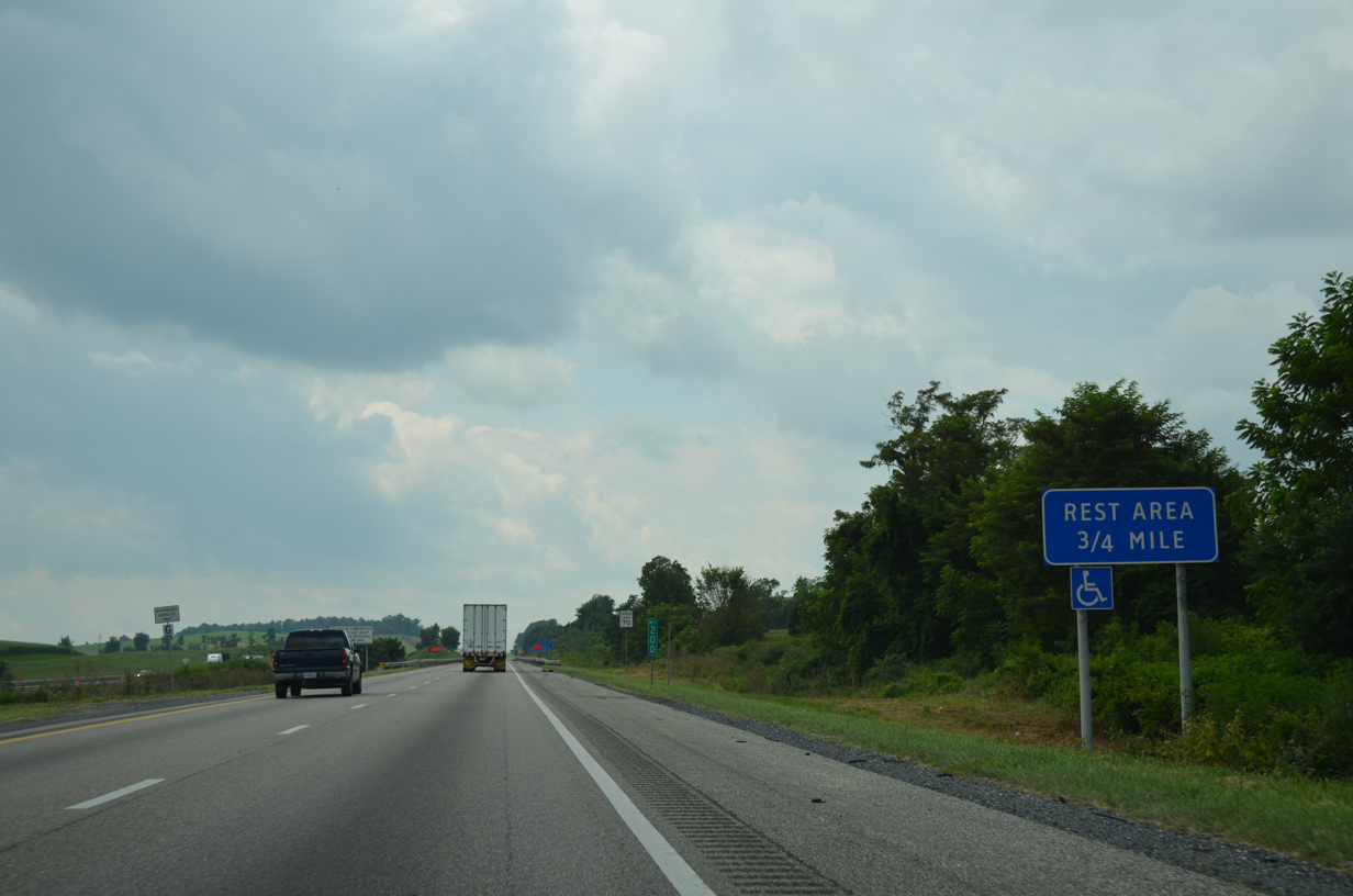
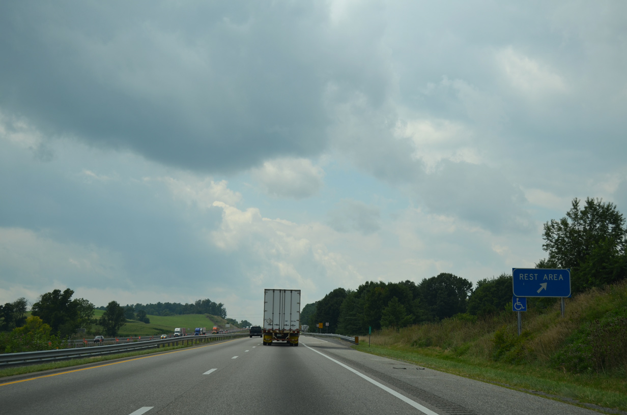
| The Fairfield Safety Rest Area lines I-61/81 southbound beyond mile marker 199.5. 08/06/13 |
|
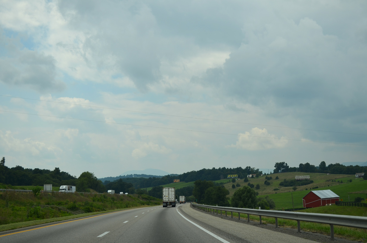
| I-64/81 and parallel U.S. 11 between Mount Atlas and Timber Ridge. 08/06/13 |
|
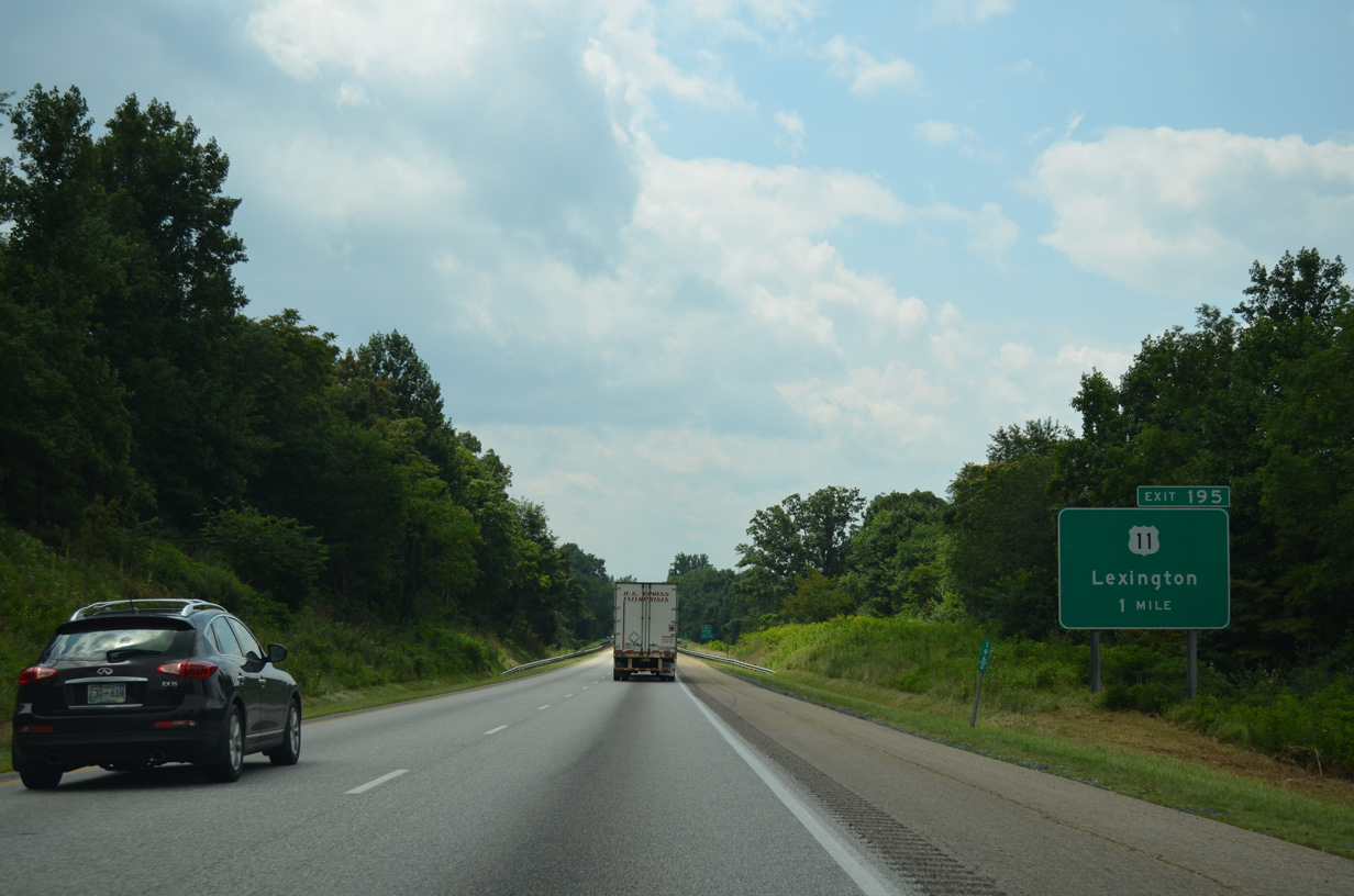
| I-64/81 and U.S. 11 (Lee Highway) come together again at a diamond interchange (Exit 195) midway between Fairfield and Lexington. 08/06/13 |
|
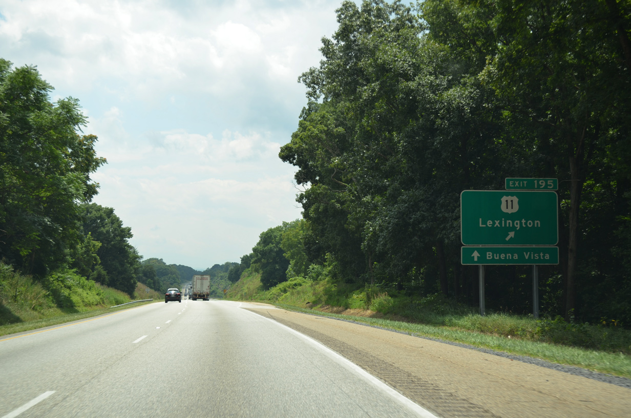
| U.S. 11 (Lee Highway) angles southwest from Grassy Ridge into East Lexington near I-64 at Exit 55. U.S. 60 leads east from Lexington to Buena Vista beyond I-81 at Exit 188. 08/06/13 |
|
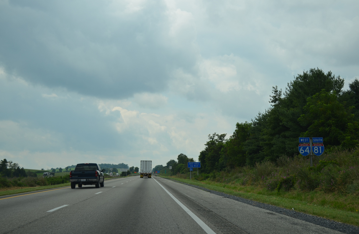
| The final set of shields for the I-64/81 overlap southbound. 08/06/13 |
|
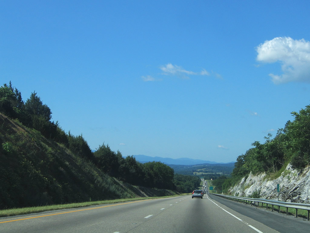
| I-64/81 descend toward their separation between Grassy Ridge to the west and Timber Ridge to the east. 06/17/05 |
|
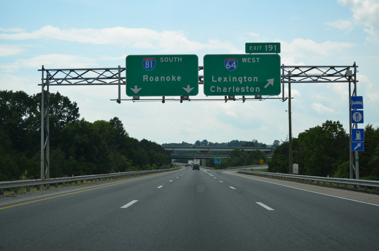
| Interstate 64 turns west to Clifton Forge and Covington from I-81 at a three-wye interchange (Exit 91). I-81 continues south to Buena Vista and Roanoke. 08/06/13 |
|
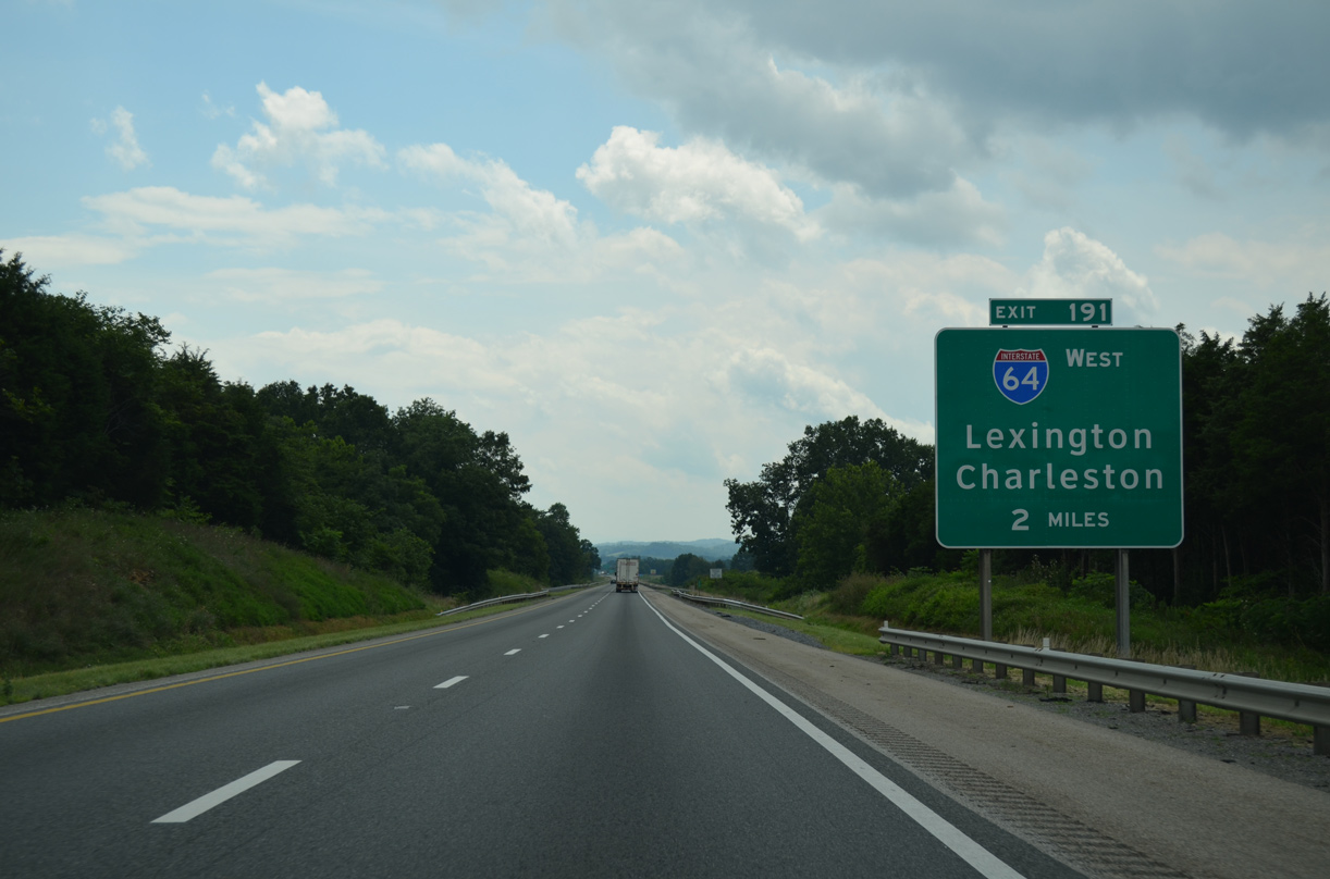
| Interstate 64 passes north of Lexington on a scenic climb to North, Brushy and Mill Mountains west from Exit 191 to Clifton Forge. 08/06/13 |
|
| Interstate 64 ventures 118 miles to I-77 (West Virginia Turnpike) near Beckley. I-64 combines with I-77 northwest 63.88 miles to Charleston. 08/06/13 |
|
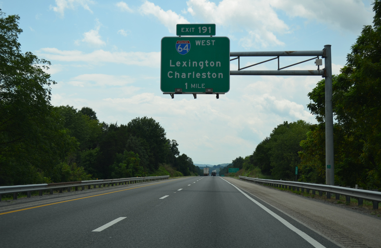
| Flyovers with I-64 at Exit 191 span Interstate 81 southbound and adjacent Warm Run. 08/06/13 |
Page Updated 08-10-2021.

 West
West  South
South