
 North
North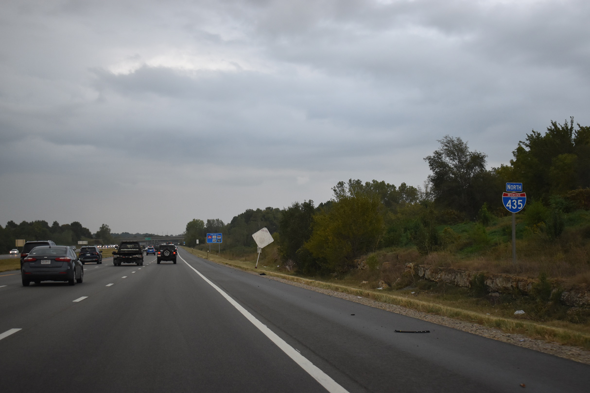
10/06/21
10/06/21
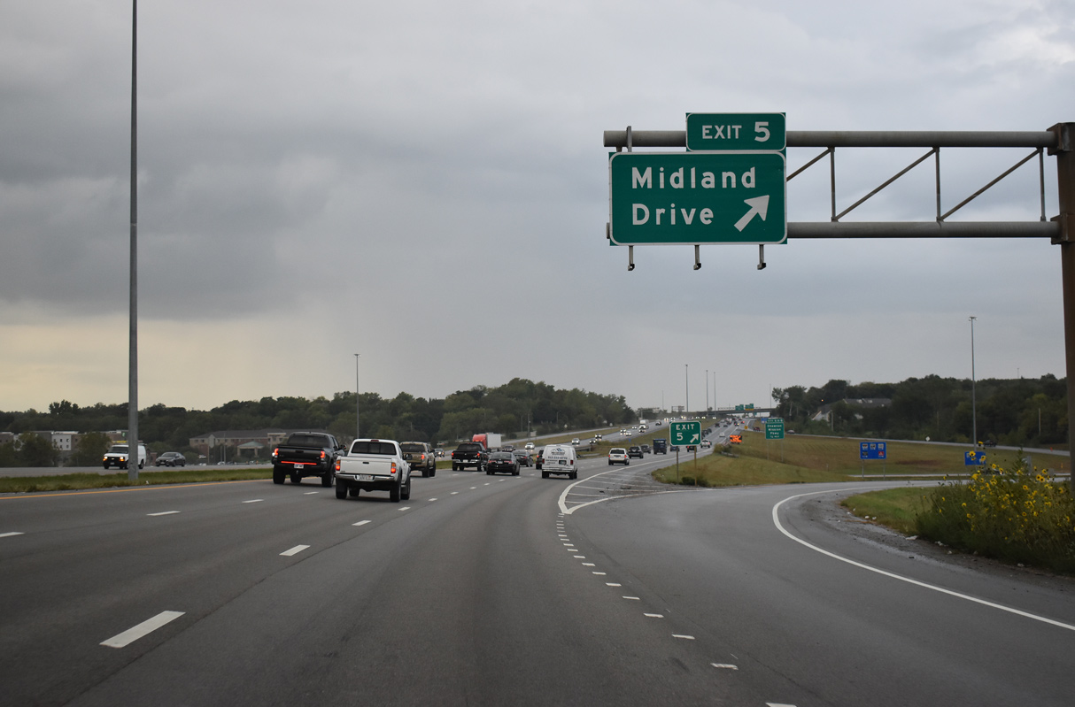
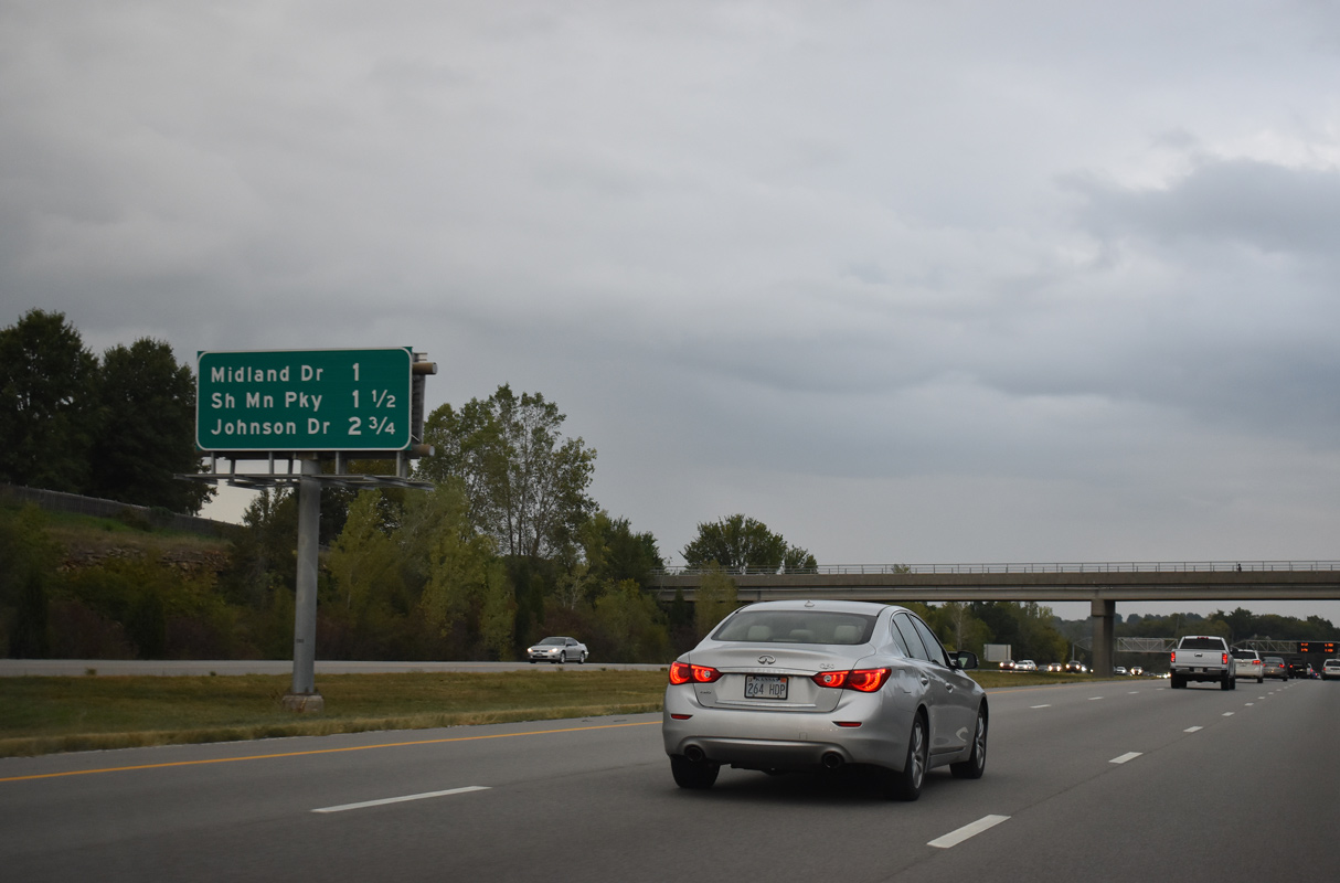
Crossing Little Mill Creek, Interstate 435 lowers into a diamond interchange (Exit 5) with Midland Drive in south Shawnee.
10/06/21
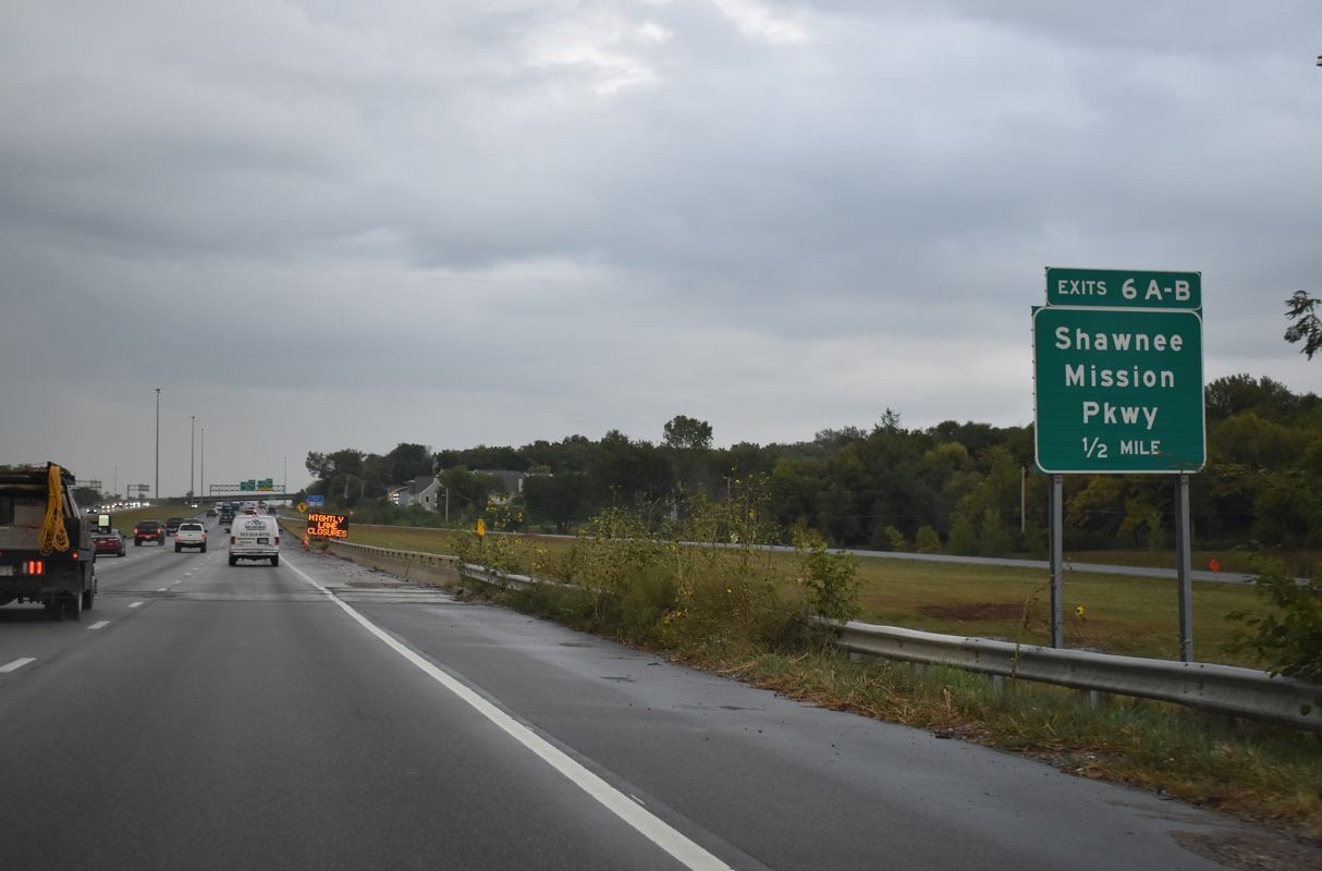
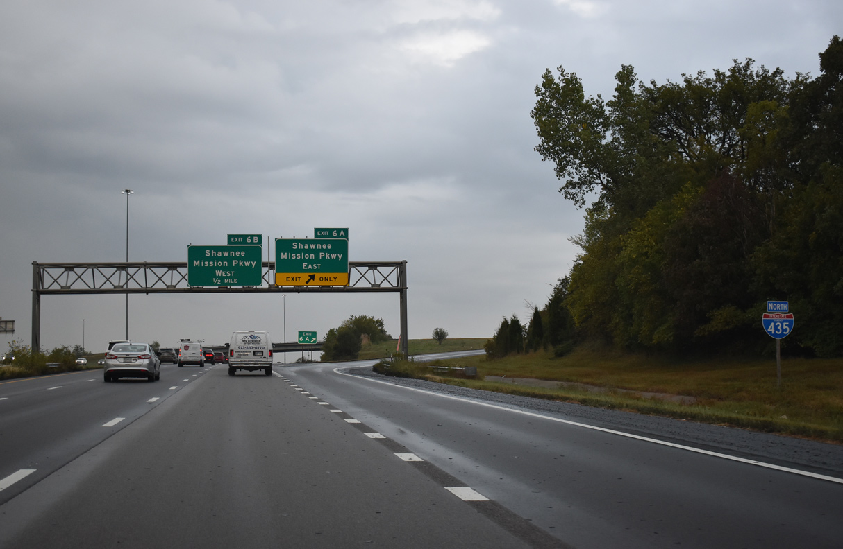
I-435 north next enters the directional cloverleaf interchange (Exits 6A/B) with Shawnee Mission Parkway.
10/06/21
10/06/21
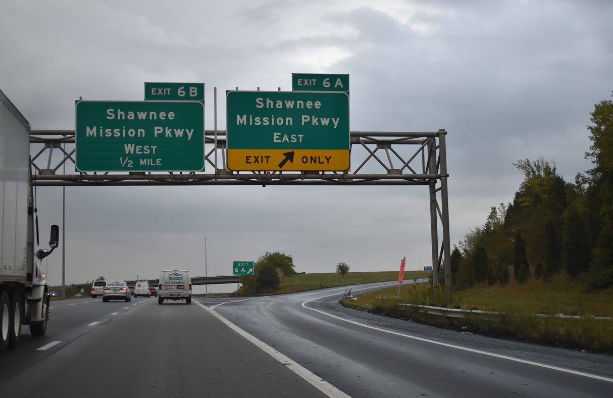
The expressway along Shawnee Mission Parkway runs across Shawnee west to K-7 and east to 63rd Street beyond Pflumm Road. 63rd Street extends the road east to Merriam and U.S. 56-69-169 at I-35 as a busy commercial arterial.
10/06/21
Shawnee Mission Parkway west ends at a cloverleaf interchange with K-7 across from 67th Street. The parkway was formerly a part of K-10, which ran west from I-35 to K-7 south to join its current alignment.
10/06/21
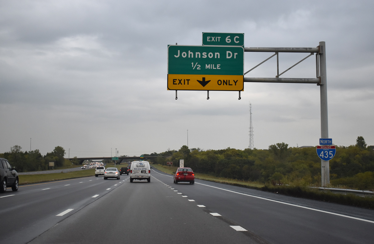
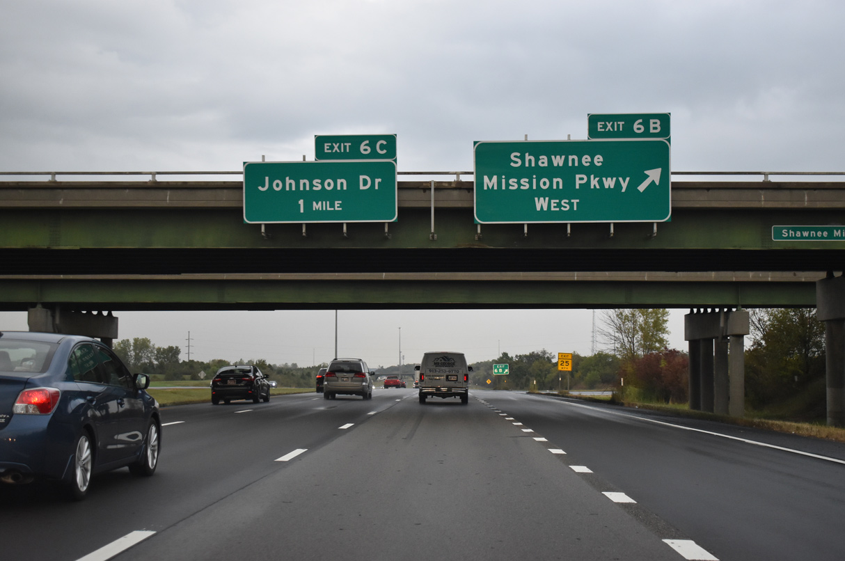
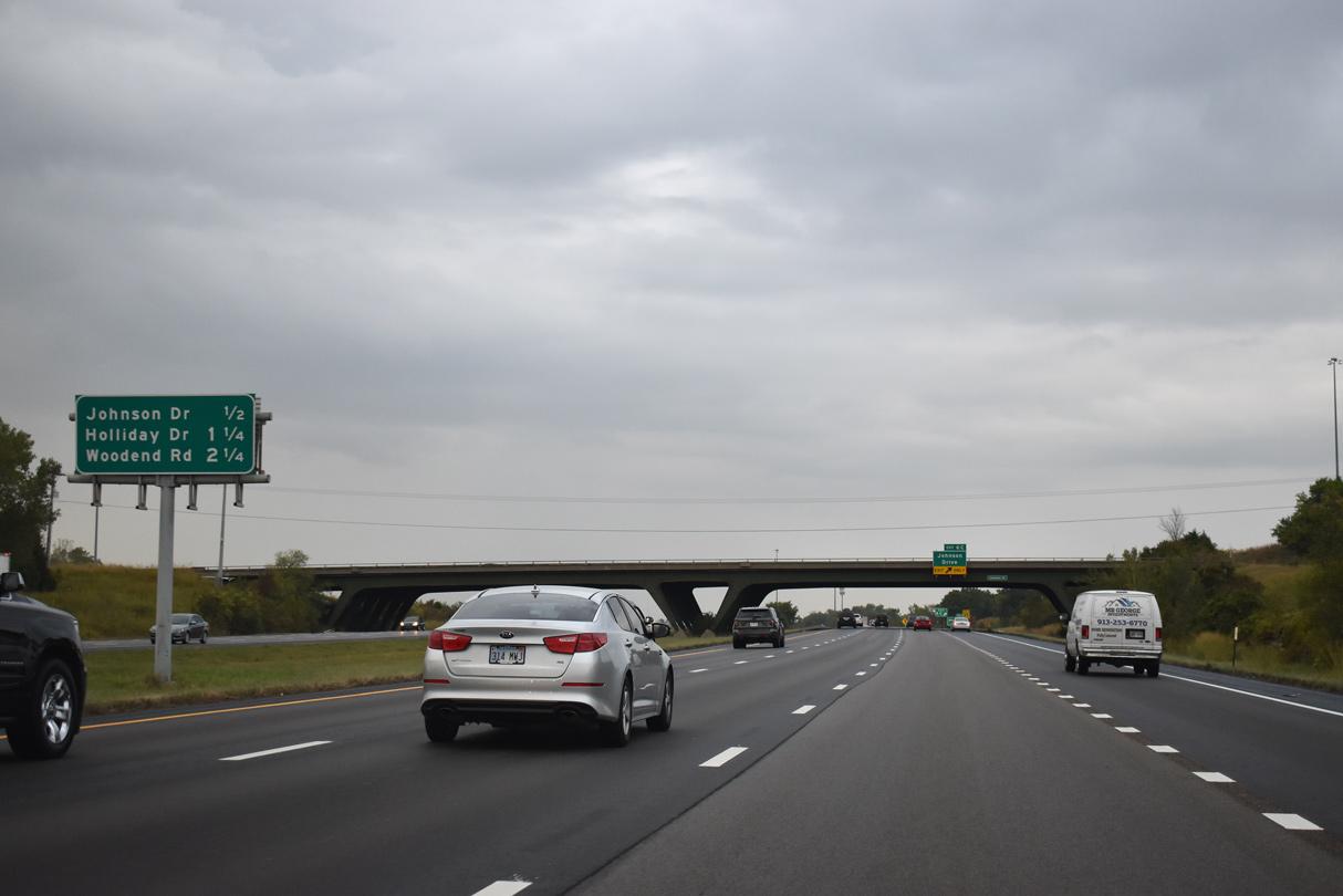
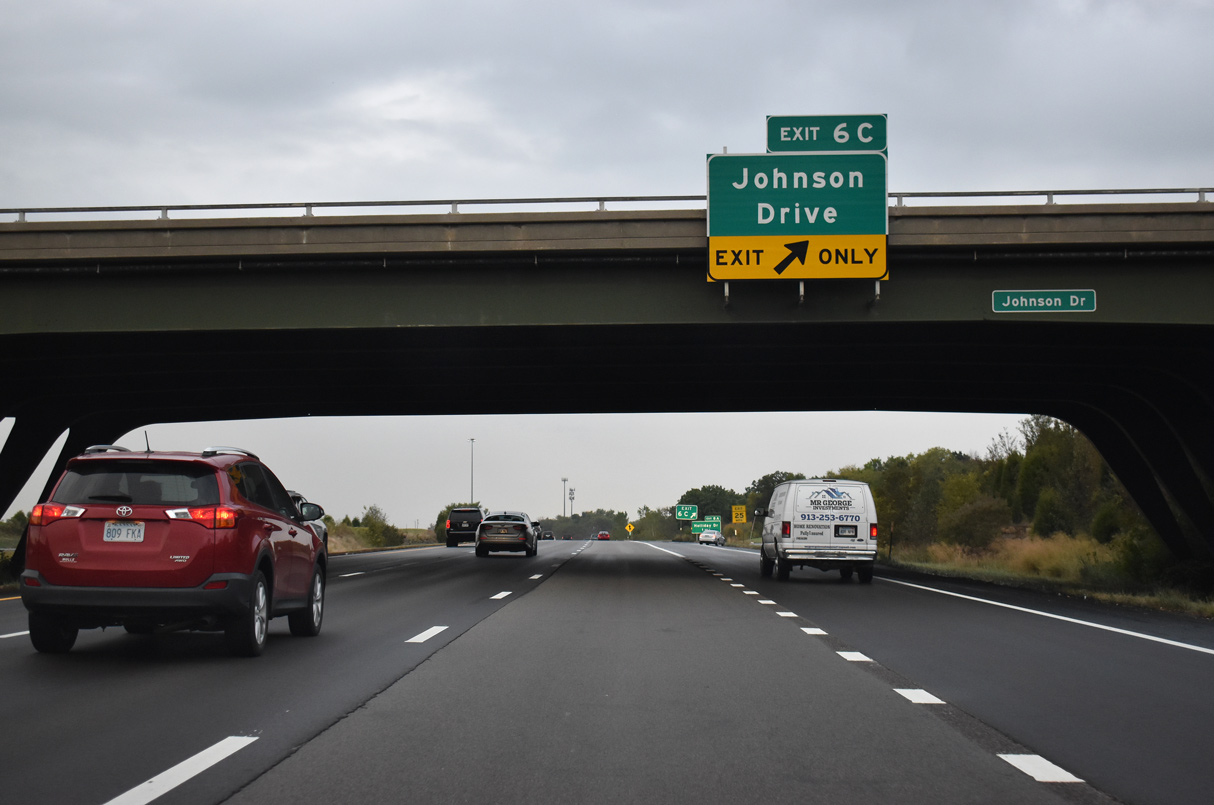
A fourth northbound lane accompanies I-435 from Shawnee Mission Parkway to the folded diamond interchange (Exit 6C) with Johnson Drive in Shawnee.
10/06/21
10/06/21
10/06/21
10/06/21
10/06/21
10/06/21
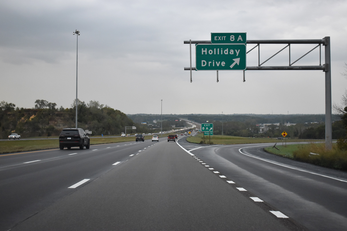
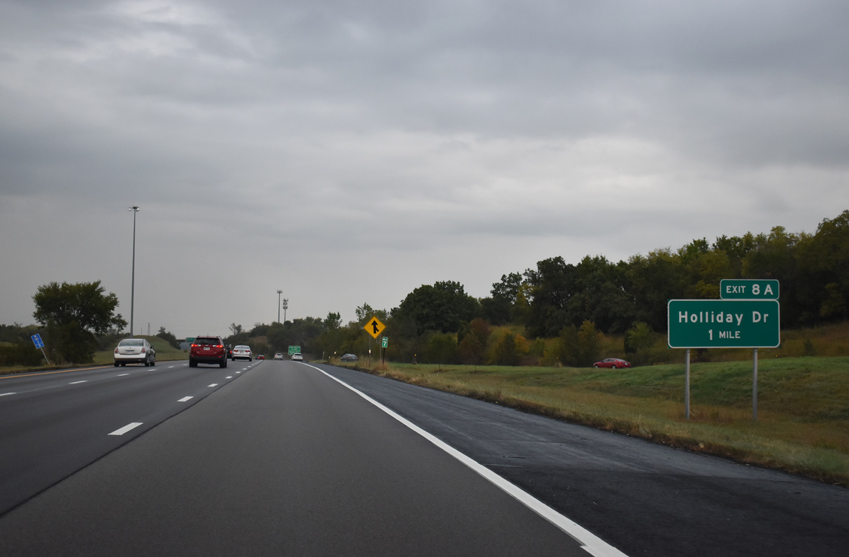
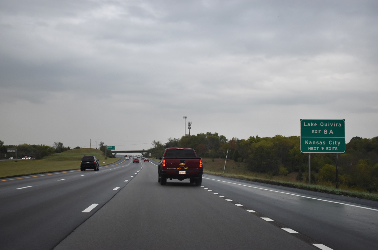
The last Shawnee exit joins the beltway north with Holliday Drive west to the Deffenbaugh - Johnson County Landfill and east to Quivira Lake.
10/06/21
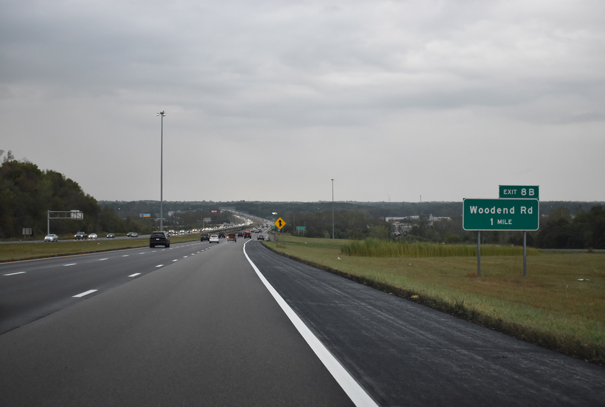
A folded diamond interchange (Exit 8B) connects Interstate 435 with Woodend Road.
10/06/21

Exit 8B departs from the beltway just north of the Kansas River to an industrial area in south Edwardsville.
10/06/21
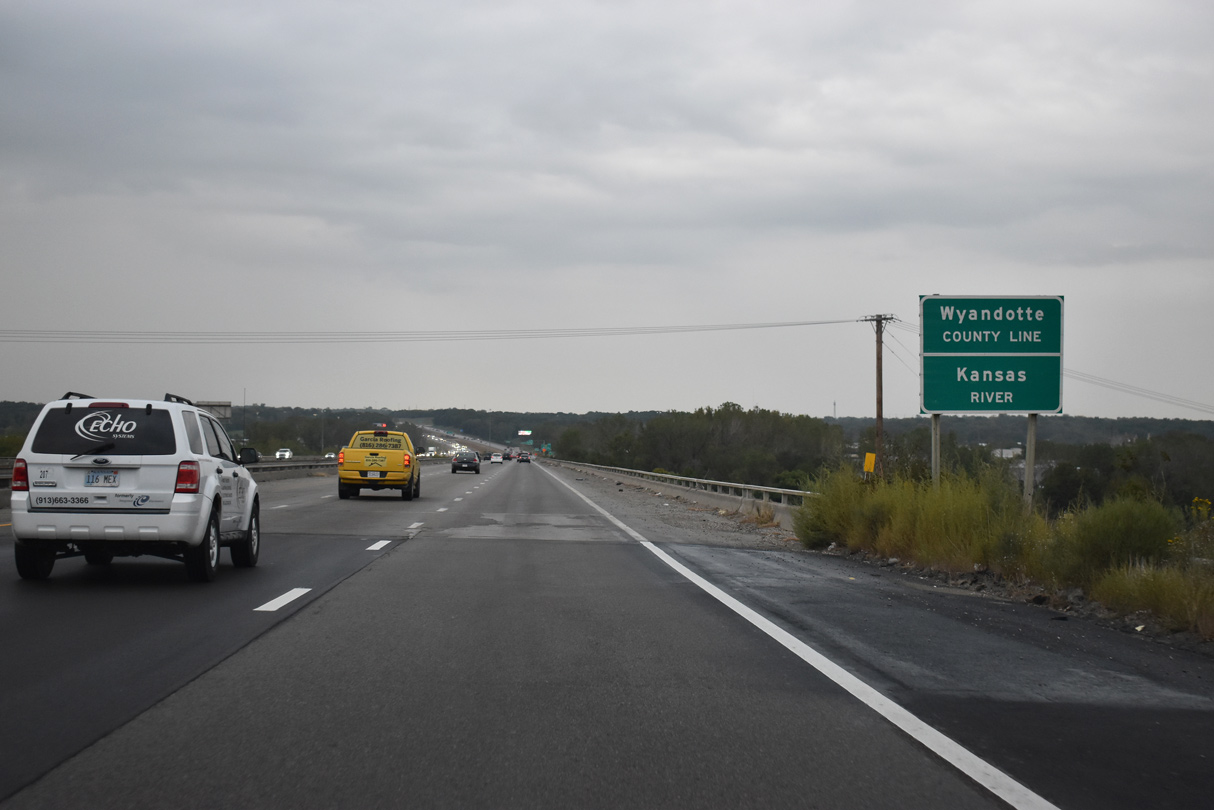
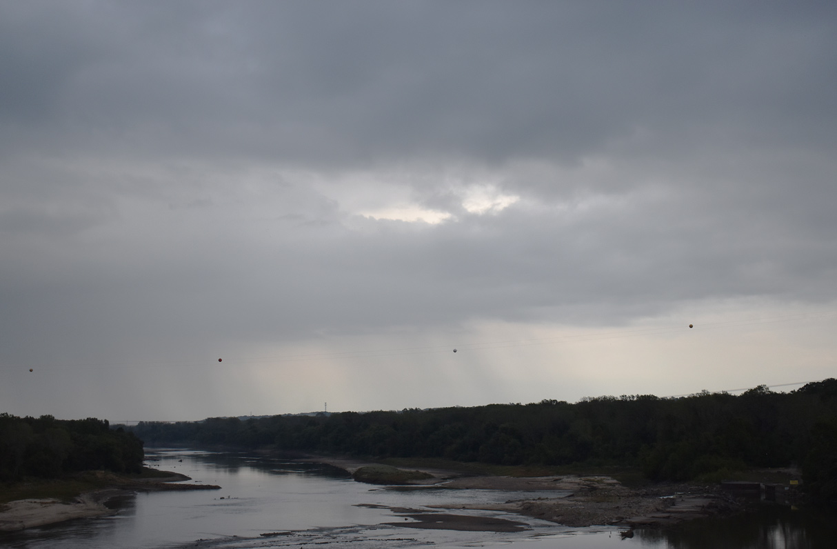
Interstate 435 crosses the Kansas River with six overall lanes on a pair of bridges built in 1981.
10/06/21
10/06/21
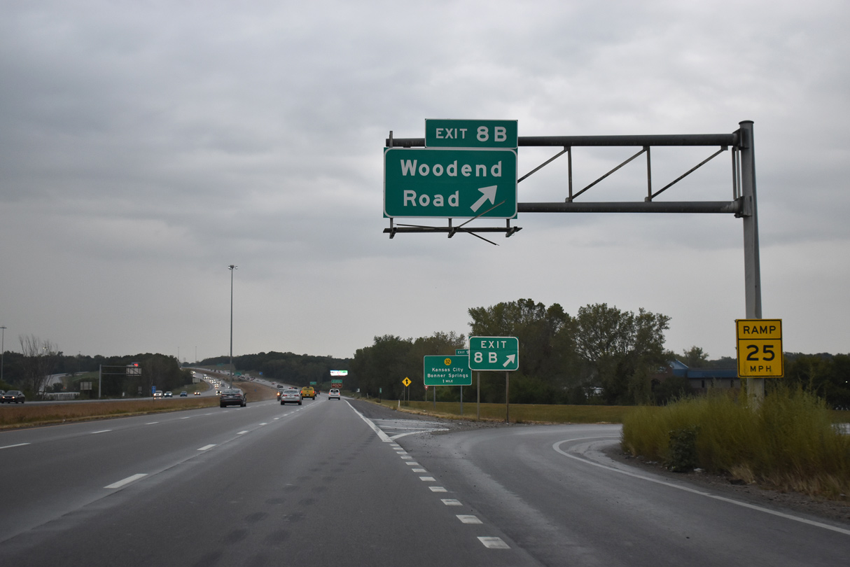
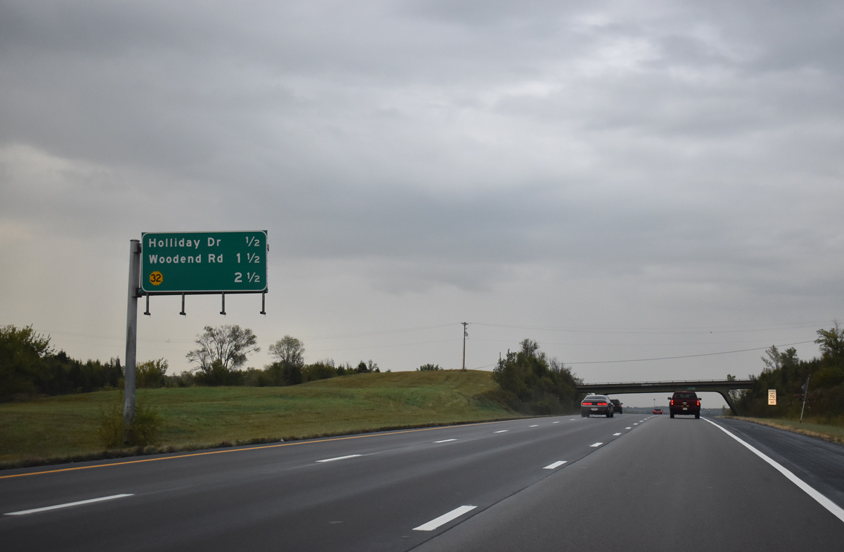
Woodend Road comprises a local road west to 9th Street and east to South 88th Street.
10/06/21

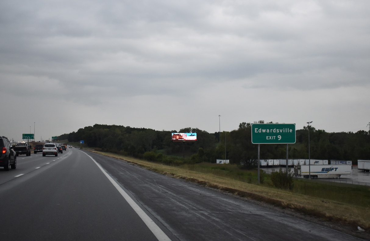
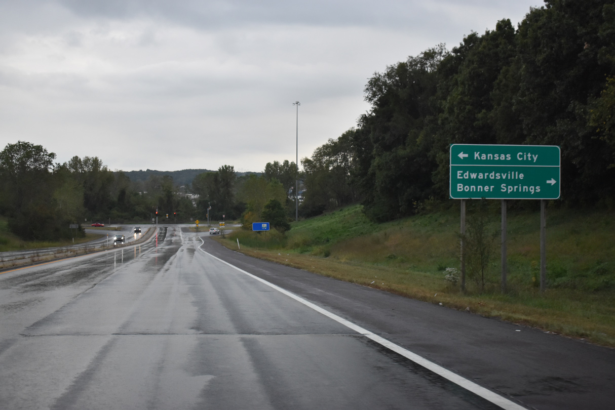
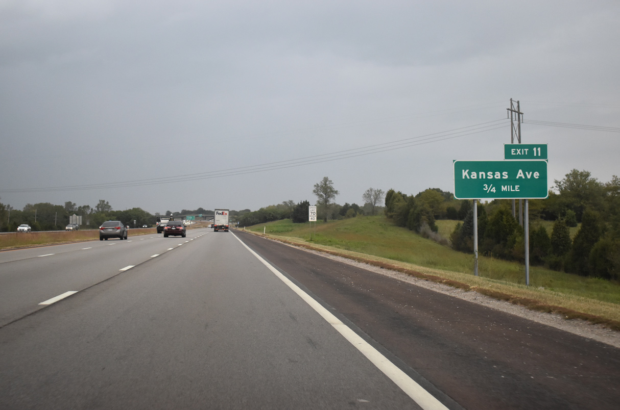
Meeting I-435 at Exit 9, K-32 (Kaw Drive) parallels a Union Pacific Railroad line west through Edwardsville to Bonner Springs and east through the Muncie-Stony Point section of Kansas City.
10/06/21
10/06/21
10/06/21

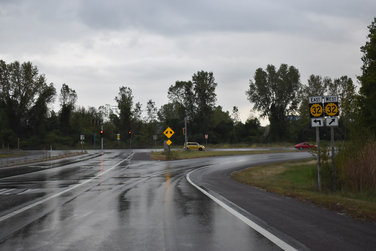
Kansas Highway 32 stretches 32.36 miles from U.S. 24/40 outside Lawrence to U.S. 69 (18th Street Expressway).
10/06/21
10/06/21
10/06/21
10/06/21
10/06/21
10/06/21
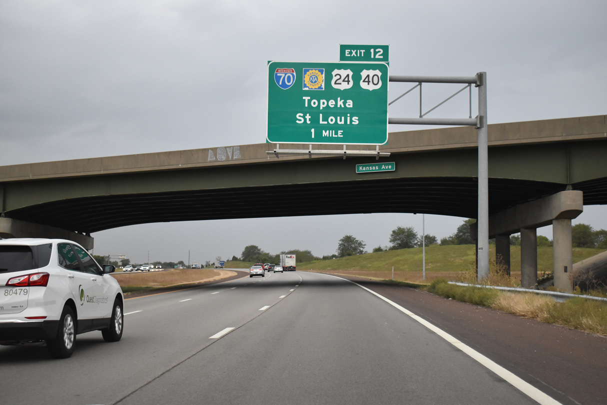
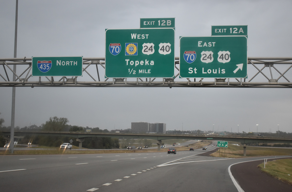
A directional cloverleaf interchange joins I-435 and I-70/U.S. 24-40 (Kansas Turnpike) at Exit 12.
10/06/21
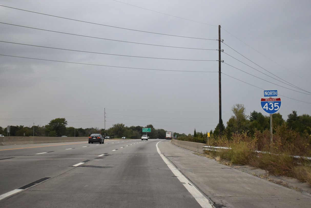
Interstate 435 confirming marker posted at the 98th Street underpass in Edwardsville.
10/06/21
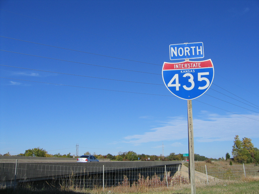
The previous I-435 assembly at 98th Street was posted further away from the outside shoulder.
10/17/04
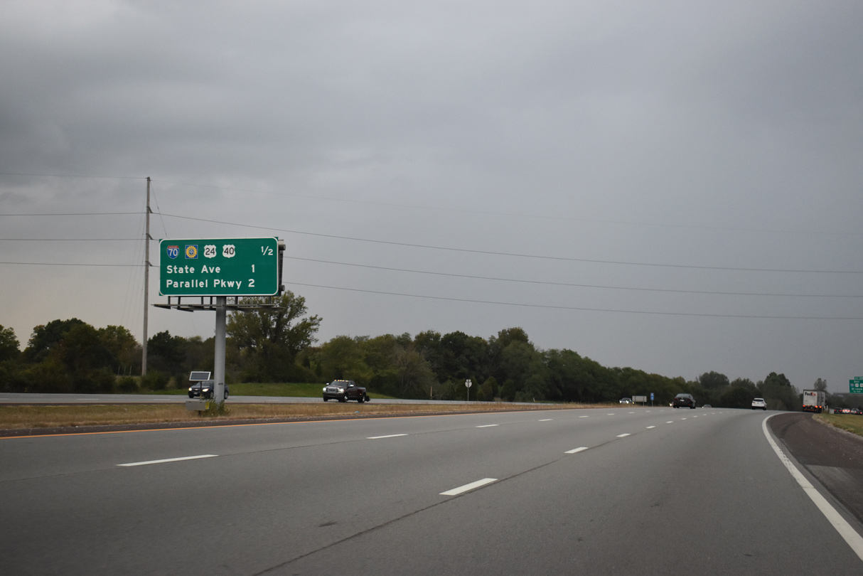
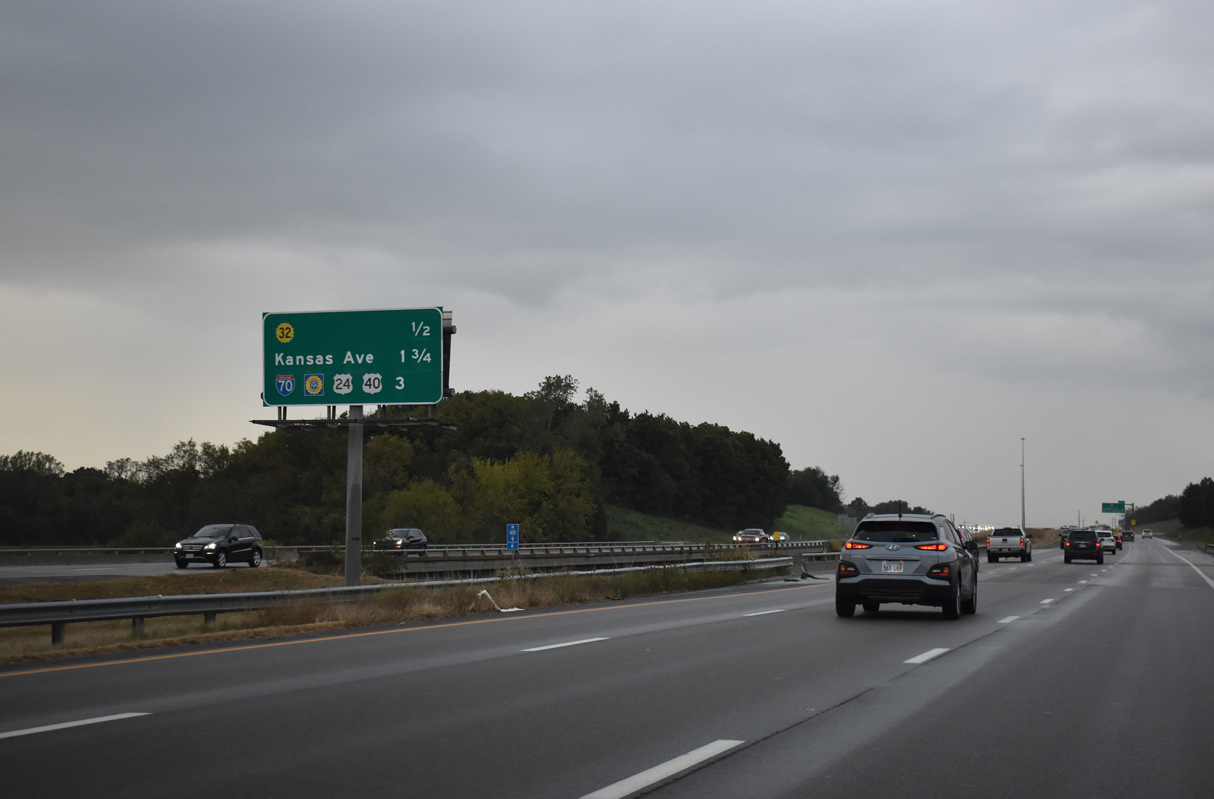
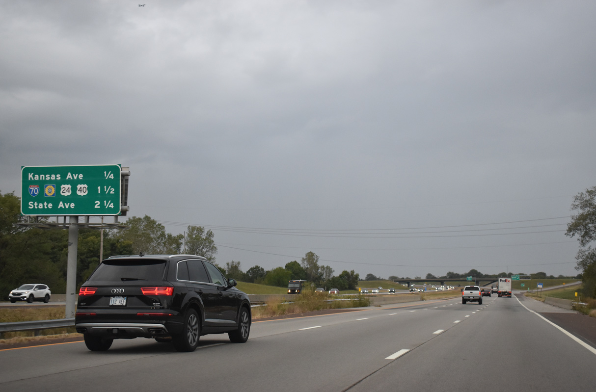
Interchange sequence sign posted a half mile ahead of Interstate 70 (Kansas Turnpike) and one mile from State Avenue. Prior to their relocation onto I-70, this sign displayed U.S. 24/40 for State Avenue.
10/06/21
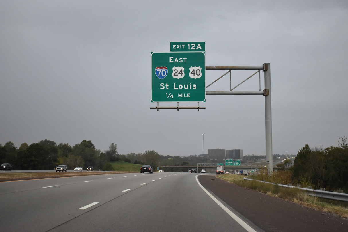
Exit 12A departs next for I-70/U.S. 24-40 (Kansas Turnpike) east through Kansas City. U.S. 40 overlaps with I-70 off and on to I-64 at Wentzville, Missouri and the St. Louis metropolitan area. U.S. 24 follows the freeway east to Downtown Kansas City, Missouri.
10/06/21
The easternmost extent of the Kansas Turnpike, from Exit 224 at Bonner Springs to Exit 420 with the 18th Street Expressway, is toll free.
10/06/21

I-70/U.S. 24-40 straddle the Edwardsville and Kansas City line west to Bonner Springs, where they part ways at K-7. U.S. 24/40 parallel the tolled Kansas Turnpike west to Tonganoxie and Lawrence, while I-70 bee lines for Topeka.
06/19/15
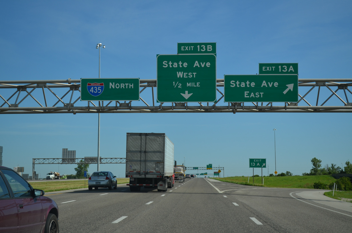
Ramps for the adjacent six-ramp parclo interchange (Exits 13A/B) with State Avenue (old U.S. 24-40-73) tie into the exchange with I-70 (Kansas Turnpike). State Avenue ventures east as a four lane arterial to the Victory Hills and Coronado areas of Kansas City. The former alignment of U.S. 24/73 extends east to the city center.
06/19/15
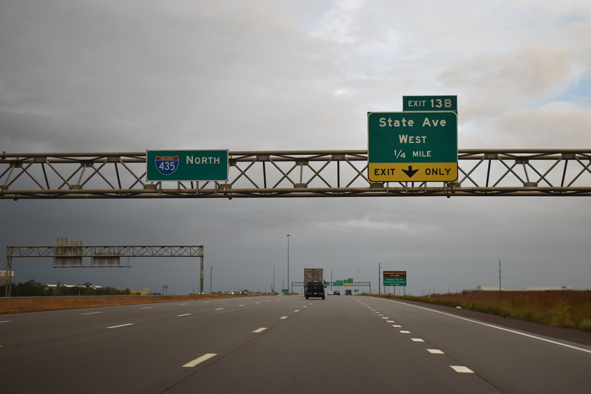
Interstate 435 north expands to five lanes ahead of the loop ramp (Exit 13B) for State Avenue west to Kansas Speedway. State Avenue was realigned due to construction of the speedway in 1999. It carried U.S. 24-40-73 west to K-7 until 2008, when the rebuilt highway was turned over to local control.1 U.S. 73 ended at I-435 as well.
10/06/21
The increased capacity of I-435 between I-70 and State Avenue west handles race day traffic for Kansas Speedway. The first NASCAR events were held at the track in 2001 and the 1.5 mile tri-oval today hosts two NASCAR Cup series races per year.
10/06/21
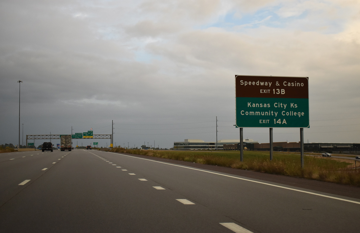
A myriad of commercial development surrounds Kansas Speedway to the north of State Avenue. The site also includes Children's Mercy Park, home of Sporting Kansas City (MLS), and CommunityAmerica Ballpark. The Hollywood Casino at Kansas Speedway opened for business to the south in February 2012.
10/06/21
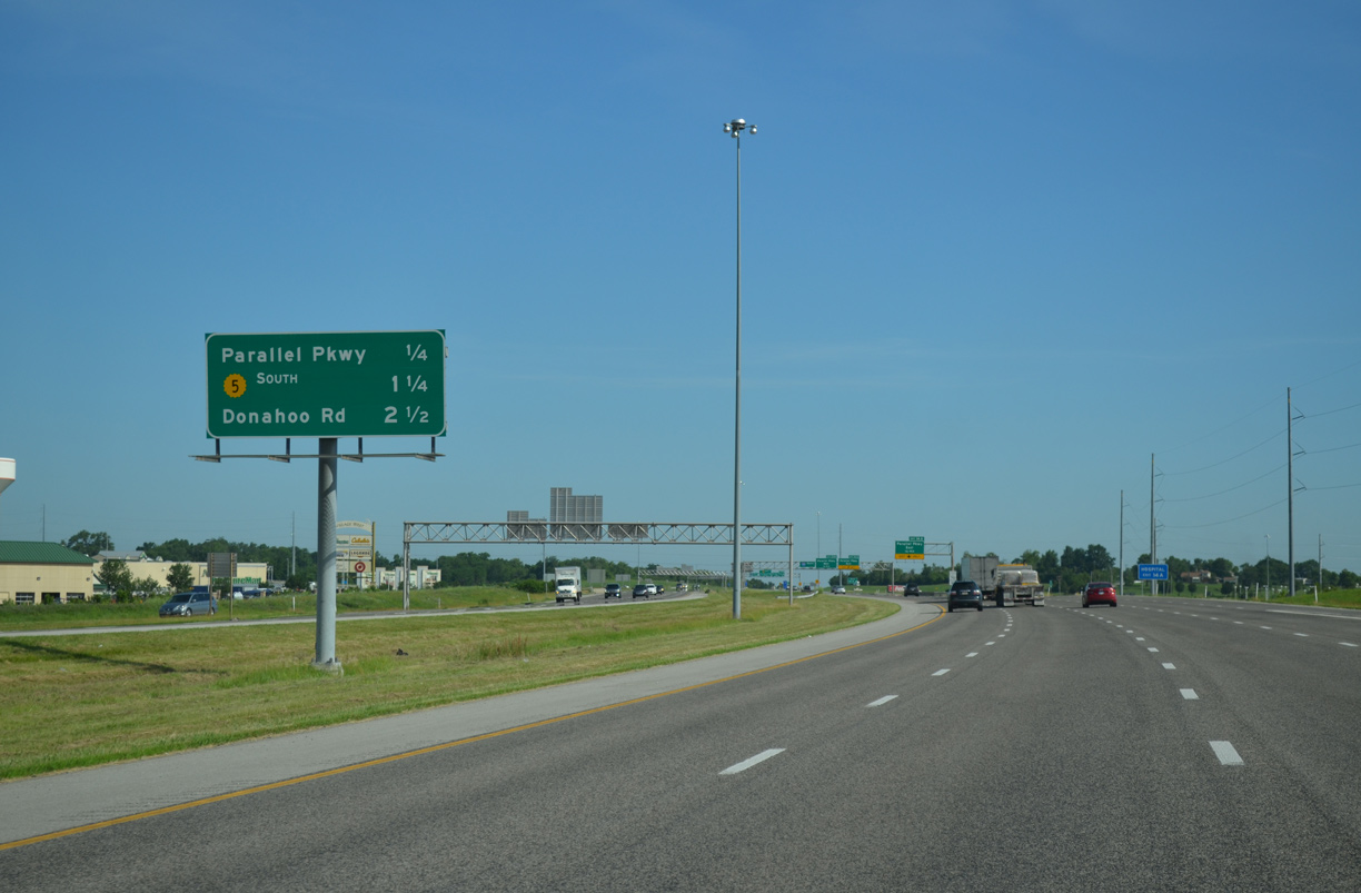
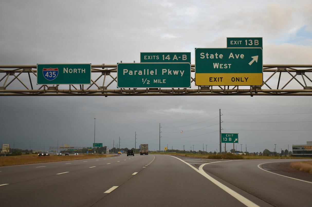
Continuing north, Interstate 435 quickly approaches the commercialized junction (Exits 14A/B) with Parallel Parkway. K-5 north ties into the freeway at the succeeding interchange.
06/19/15
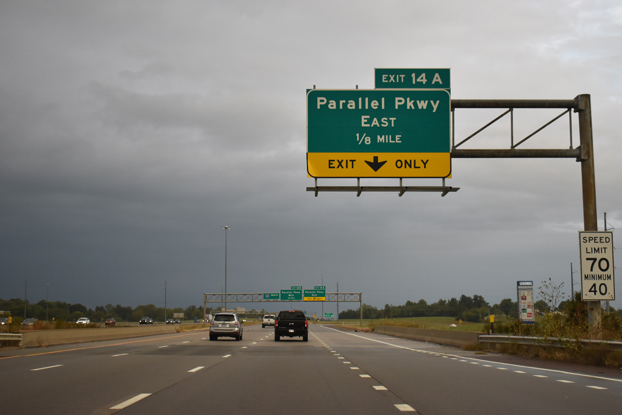
A cloverleaf interchange joins the Kansas City beltway with Parallel Parkway at Exits 14A/B. The I-435 / I-70 Village West Regional Transportation Study in 2010 recommended converting the exchange into either a standard diamond interchange or a DDI.2
10/06/21

Exit 14A leaves Interstate 435 north for Parallel Parkway east by the 61 acre Legends Auto Plaza developed in 2015-16. Parallel Parkway travels the width of Kansas City east to 5th Street in the Northeast district.
10/06/21
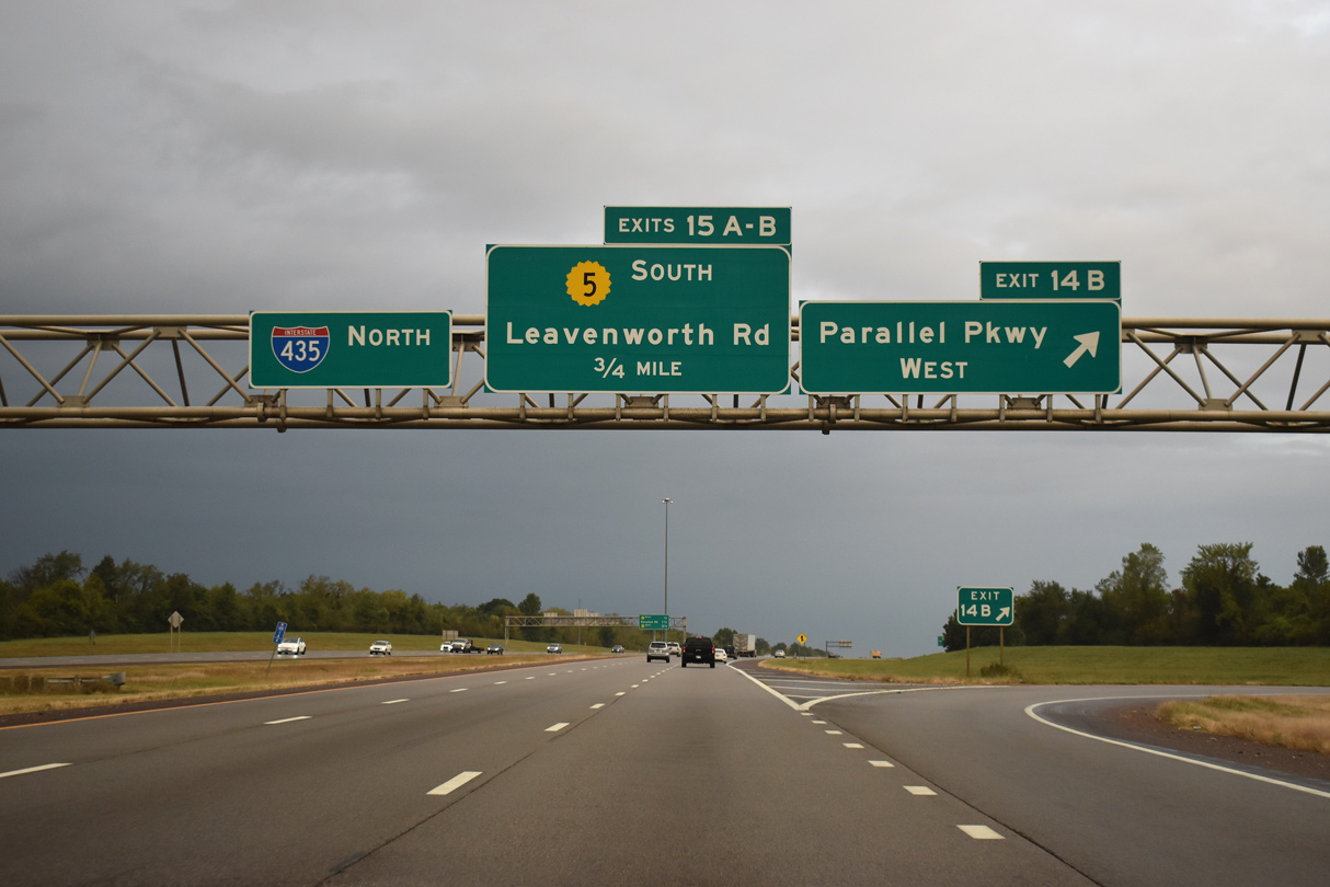
Parallel Parkway travels between the Legends at Village West outlet mall and the Plaza at the Speedway shopping center and other retail to the immediate west of I-435. The four lane road becomes more rural on the drive west to U.S. 73/K-7 and the city of Basehor.
10/06/21
This interchange sequence sign outlines the final Kansas off-ramps before Interstate 435 turns east across the Missouri River.
10/06/21
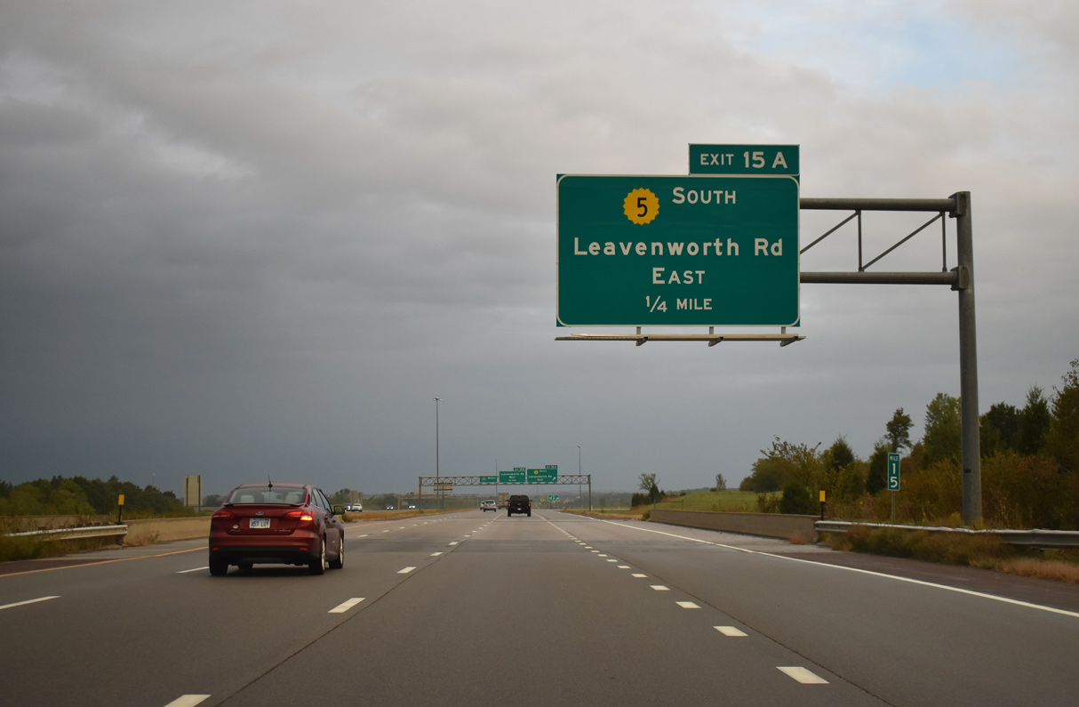
Interstate 435 swells to eight overall lanes from Parallel Parkway north to Exit 15A with K-5 (Leavenworth Road) south. K-5 travels 24.07 miles overall between U.S. 69 in the Fairfax Industrial District of Kansas City, and U.S. 73/K-7 in the city of Leavenworth.
10/06/21

Signed as K-5 south, Leavenworth Road takes the state highway due east from Exit 15A to the Nearman Hills, Bethel-Welborn and Quindaro Bluffs neighborhoods of KC and a short overlap with Interstate 635.
10/06/21
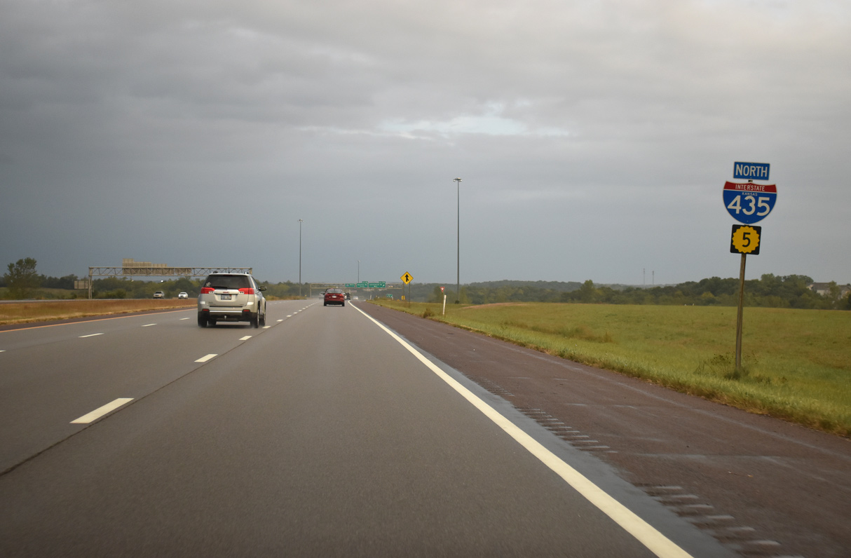
Confirming markers for Interstate 435/K-5 north stand within the cloverleaf interchange at Leavenworth Road. K-5 north has yet to merge onto the beltway however.
10/06/21
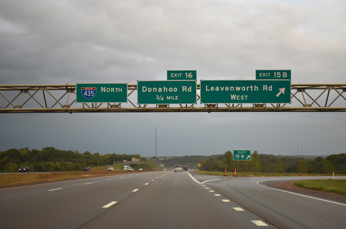
West from Exit 15B, Leavenworth Road transitions into a rural like two lane road to the settlement of Piper and northern reaches of Basehor.
10/06/21
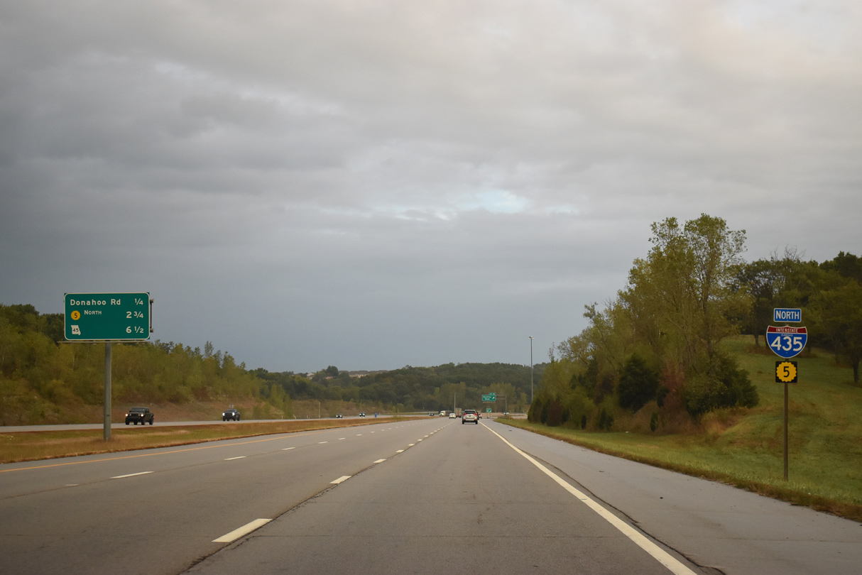
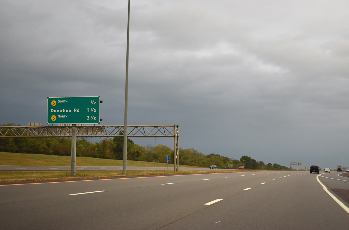
Interstate 435/K-5 overlap for 3.00 miles through still rural areas of west Kansas City.
10/06/21
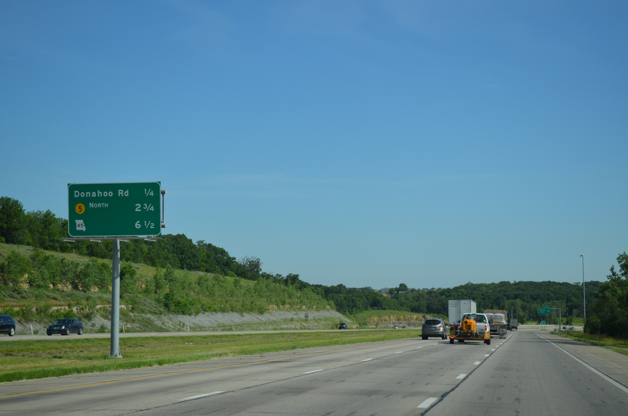
Donahoo Road stems west from 99th Street and Hurrelbrink Road near The Woodlands, a greyhound and horse racetrack closed in 2008, to meet the beltway at Exit 16 in a quarter mile.
06/19/15
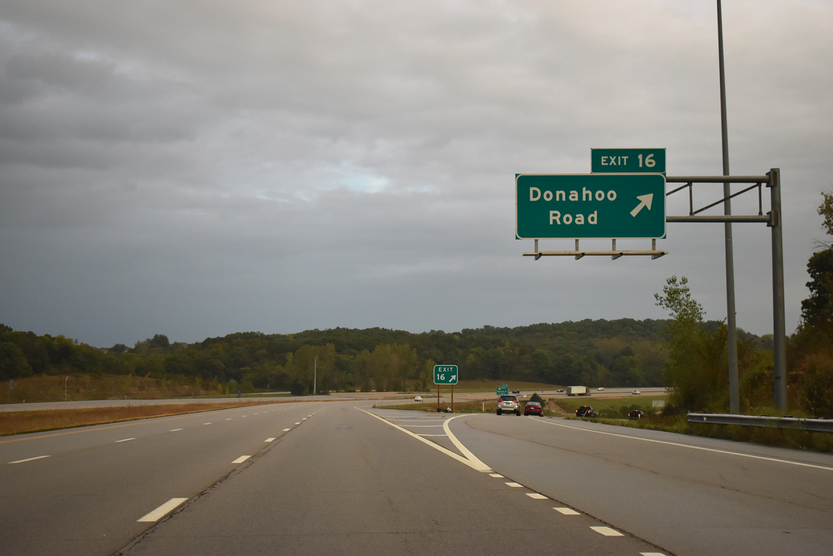
West from the diamond interchange (Exit 16) with I-435, Donahoo Road passes between the Clearview and Woodland Hills subdivisions on the 4.5 mile drive to 141st Street in Basehor.
10/06/21
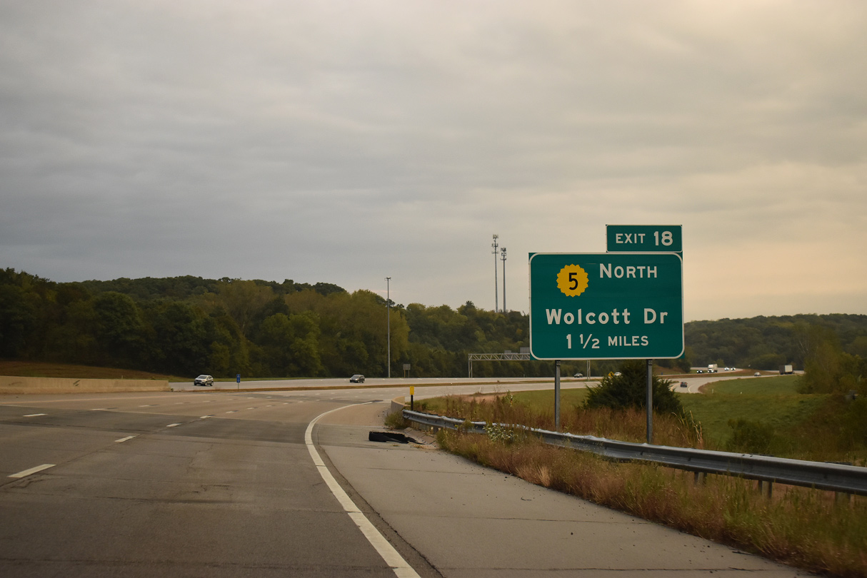
One and a half miles ahead of Exit 18 for the departing K-5 and 93rd Street on I-435 north. Prior to the completion of I-435, K-5 followed a stair stepped route north from Leavenworth Avenue along 99th Street, 97th Street, Nelson Lane and 93rd Street to Wolcott Drive.
10/06/21
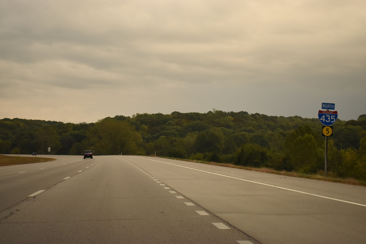
The northbound freeway makes an S-curve through a shallow valley fed by Connor Creek to the split with K-5 north.
10/06/21
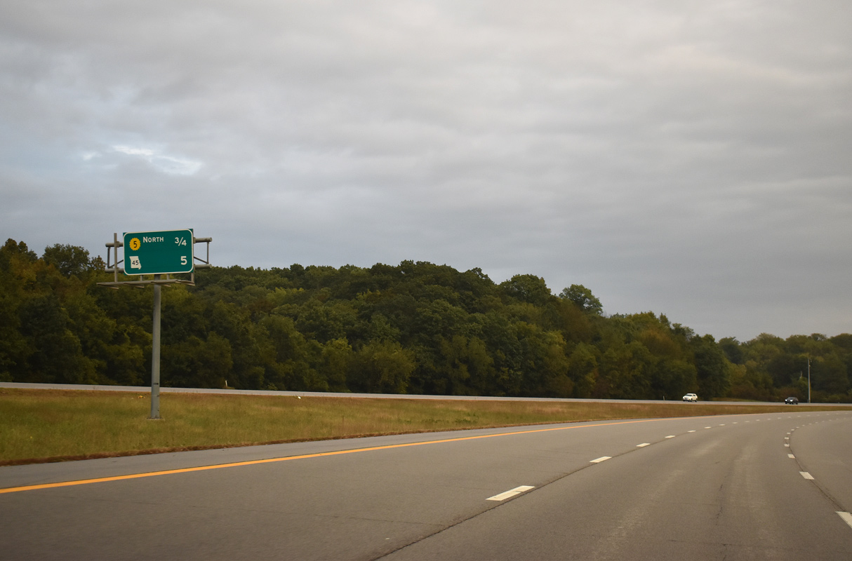
Forthcoming Exit 18 serves Wyandotte County Lake Park to the south via 93rd Street. The first exit in the Show Me State lies five miles ahead with Missouri Route 45 in Parkville.
10/06/21
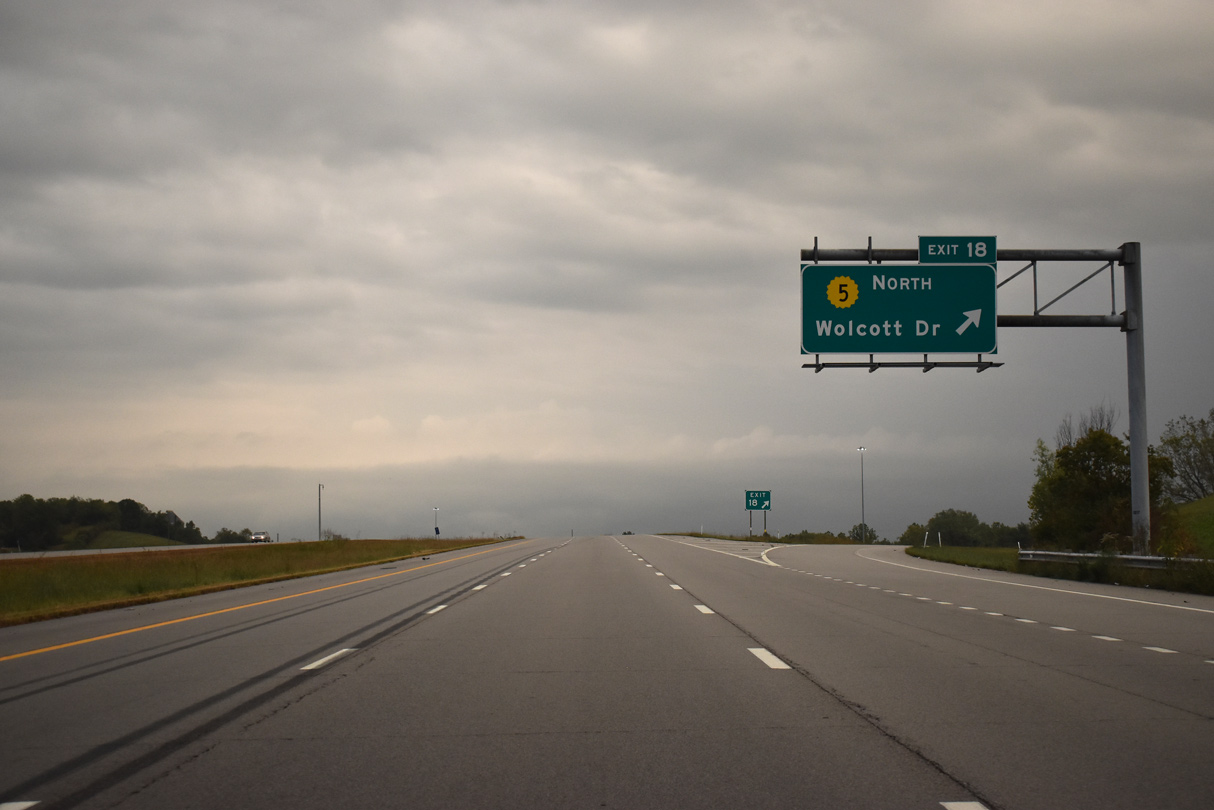
K-5 north parts ways with Interstate 435 at a diamond interchange (Exit 18). The state highway dog legs north to Wolcott Drive at Hutton Road. Wolcott Drive traverses the bluffs west of the Missouri River to Lansing.
10/06/21
North
Interstate 435 curves eastward from Wolcott across flat agricultural areas ahead of Diamond Island and the Missouri River.
10/06/21
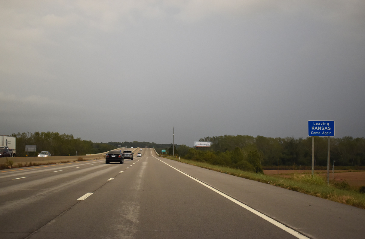
Kansas often posts signs along departing highways and freeways as they leave the state.
10/06/21
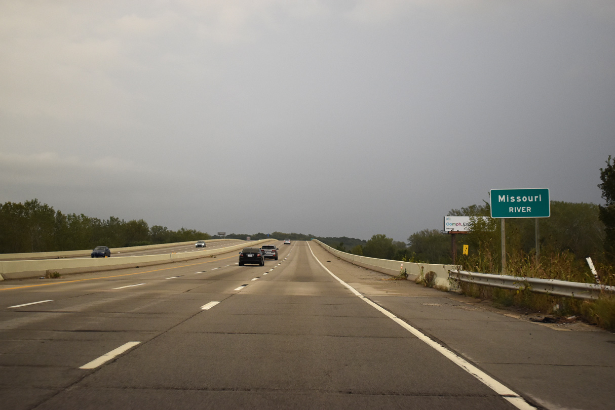
The six lane span across the Missouri River underwent a repair project from April to December in 2015.
10/06/21

Interstate 435 crosses the Missouri River at Diamond Island.
10/06/21

I-435 enters Platte County, Missouri midway across the Missouri River. The twin bridges here were completed by 1985.
10/06/21
Sources:
- US Highway 40, Kansas Highways Routelog.
- Chapter 5 - Parallel Parkway Corridor Improvements, August 2010. I-435 / I-70 Village West Regional Transportation Study.
Photo Credits:
10/17/04, 06/19/15, 10/06/21 by AARoads
Connect with:
Interstate 70
Highway 5
Highway 32
Page Updated 10-15-2021.