Guide by Thomas Decker.
|
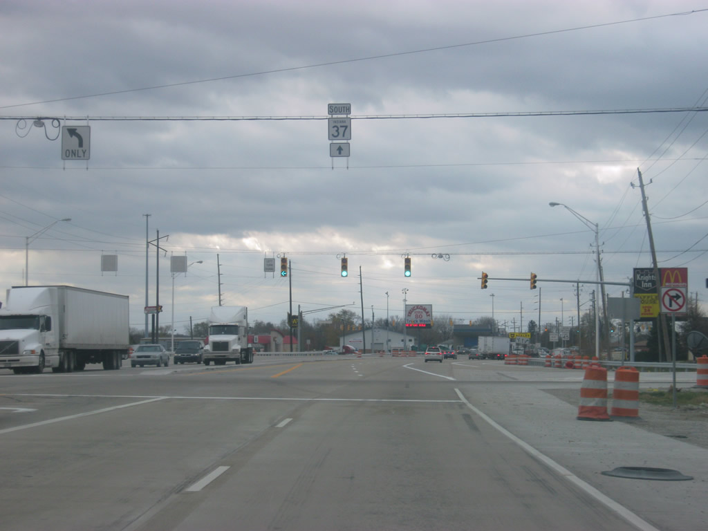
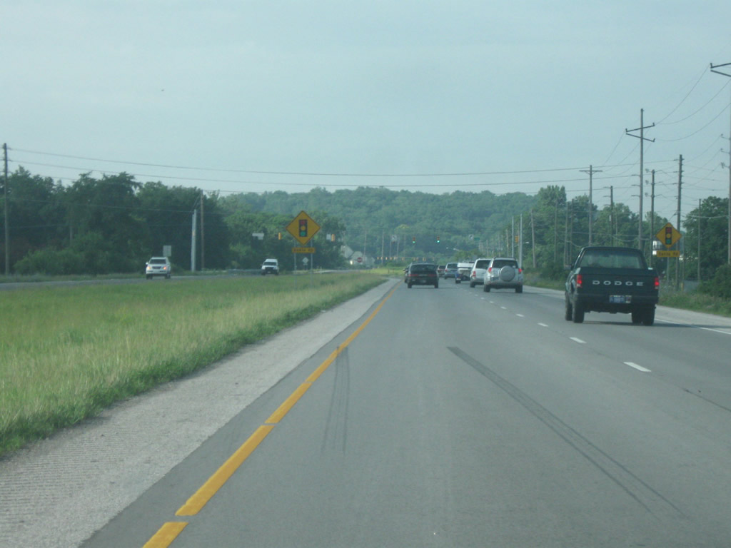
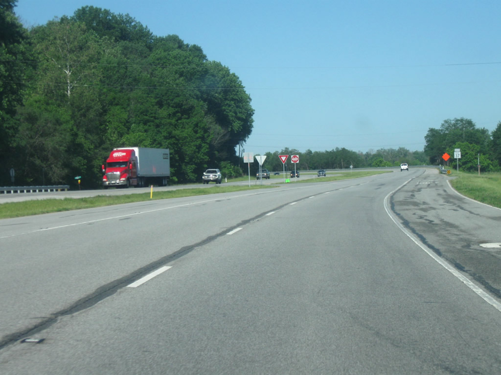
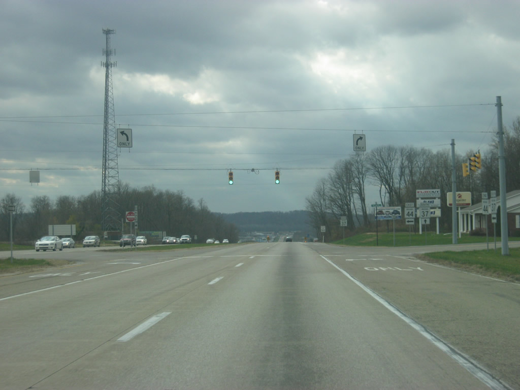
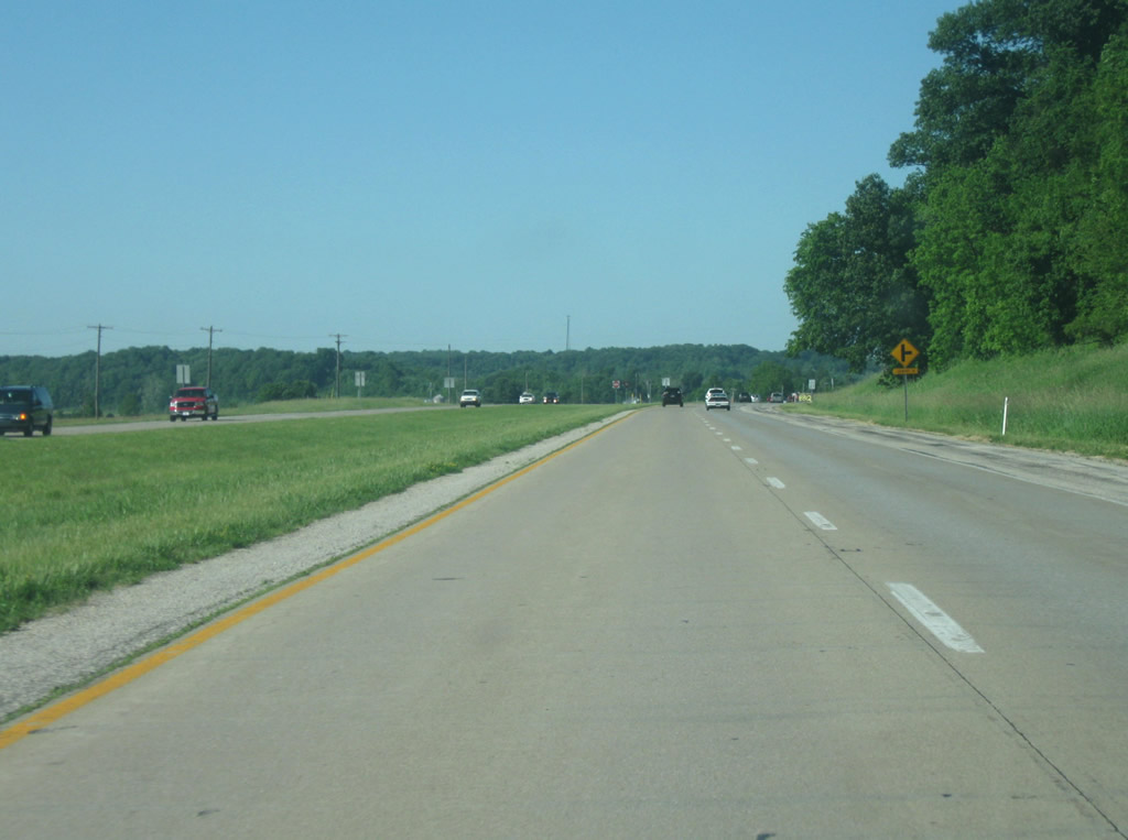
| SR 37 begins its southern leg at the Interstate 465 interchange on the southwest side of Indianapolis. North of the interchange, the road is known as Harding Street, a four lane arterial road that heads north toward an interchange with Interstate 70 a couple of miles southwest of Downtown Indianapolis. Approaching the Interstate 465 interchange, a couple of circle shields containing the number 37 are present directing traffic to the south, one of a few interesting route markers for this highway along the way. 06/21/09 |
|
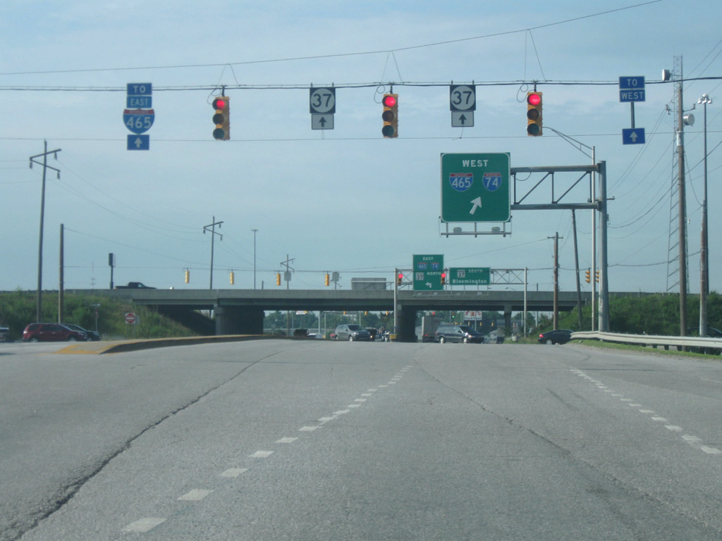
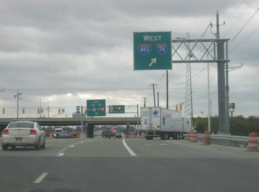
| Just south of that location, the westbound ramp for Interstates 465 and 74 (along with U.S. 36, 40, 52, and SR 67) appears. The interchange was rebuilt in 2011 to allow for the heavy truck and commuter traffic that goes through here. This interchange contains numerous truck stops and businesses and therefore receives heavy freight traffic. The diamond interchange was rebuilt to allow for additional turning lanes at each of the ramps as well as the stoplights to the immediate north and south of the interchange. 11/13/11 |
|
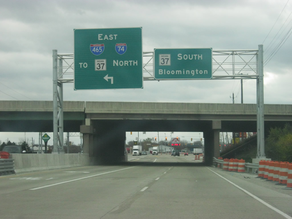
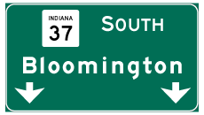
| The eastbound ramp for Interstate 465 and 74 and for SR 37 north appears. SR 37 South is signed with Bloomington as the control city. 11/13/11 |
|
| The first SR 37 reassurance shield appears over the newly rebuilt SR 37 as it approaches the Thompson Road intersection, serving several restaurants and gas stations. 11/13/11 |
|
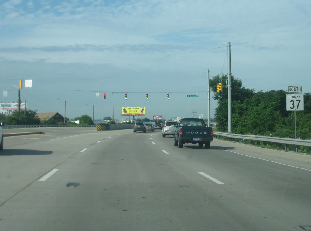
| South of Thompson Road, the highway remains six lanes as it approaches the Harding Street intersection. From this point, Harding Street heads due south while SR 37 continues toward the southwest. 06/21/09 |
|
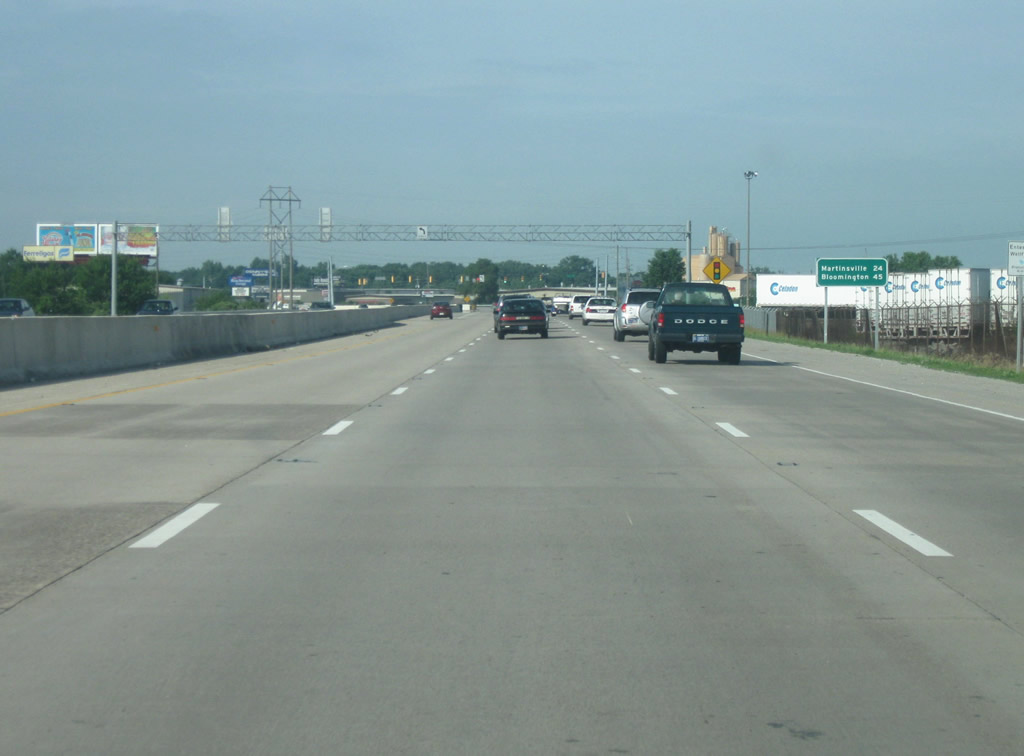
| The first distance sign on southbound SR 37 appears, marking the distances to Martinsville (24 miles) and the control city of Bloomington (45 miles). 06/21/09 |
|
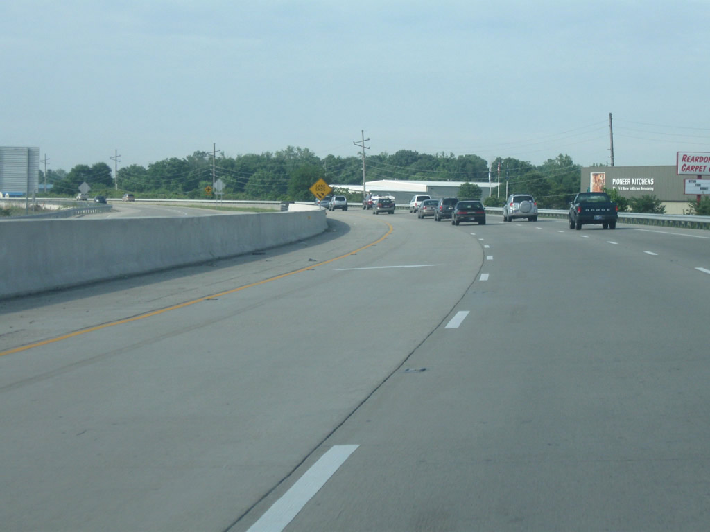
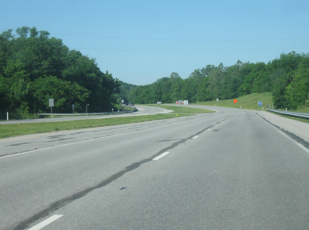
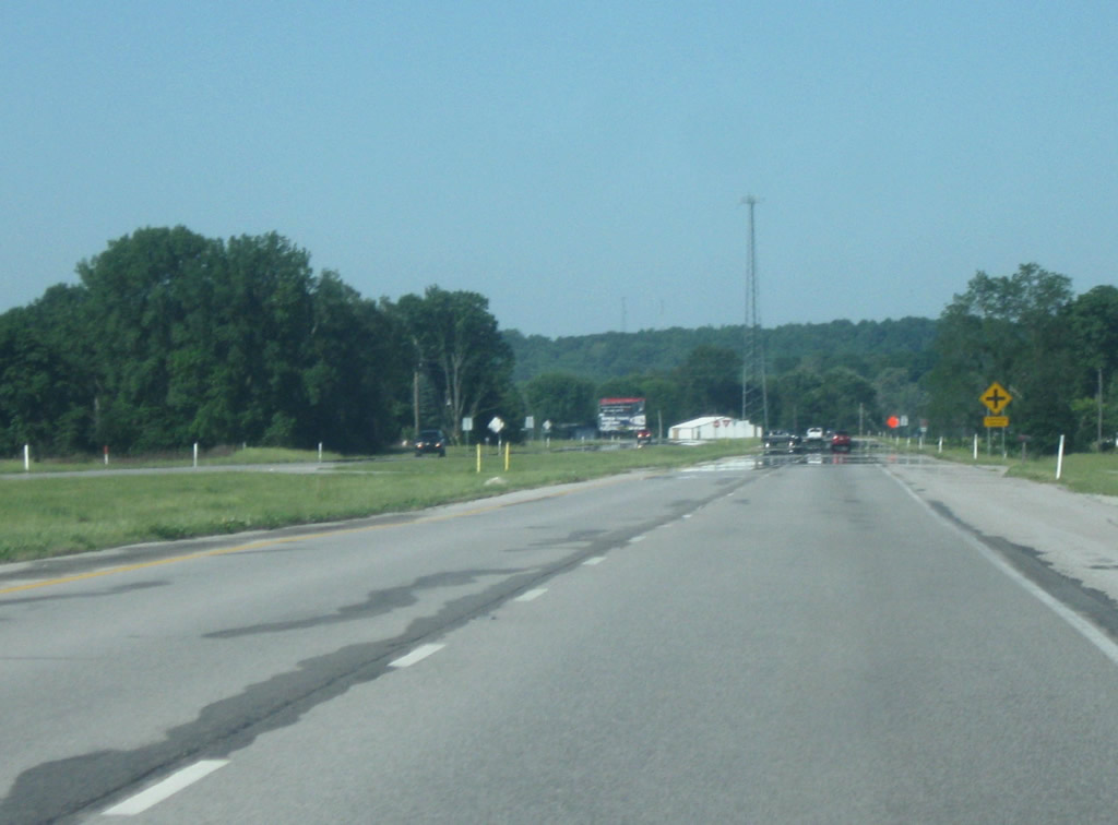
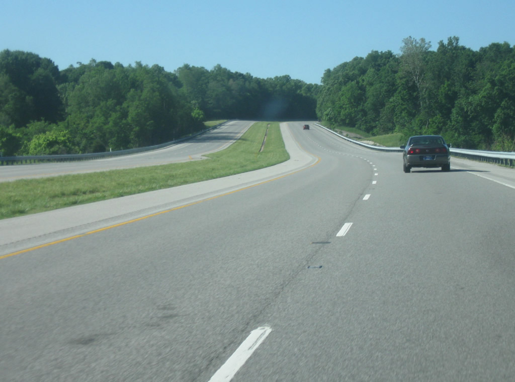
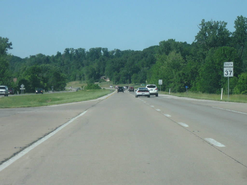
| As SR 37 turns toward a more southerly direction, it loses the inside lane and becomes a four lane expressway with a grassy median. It is around this spot where the new Interstate 69 will join the SR 37 corridor from a new interchange that will be built to the west of the current interchange with SR 37. Around this point the speed limit on SR 37 becomes 55 miles per hour. 06/21/09 |
|
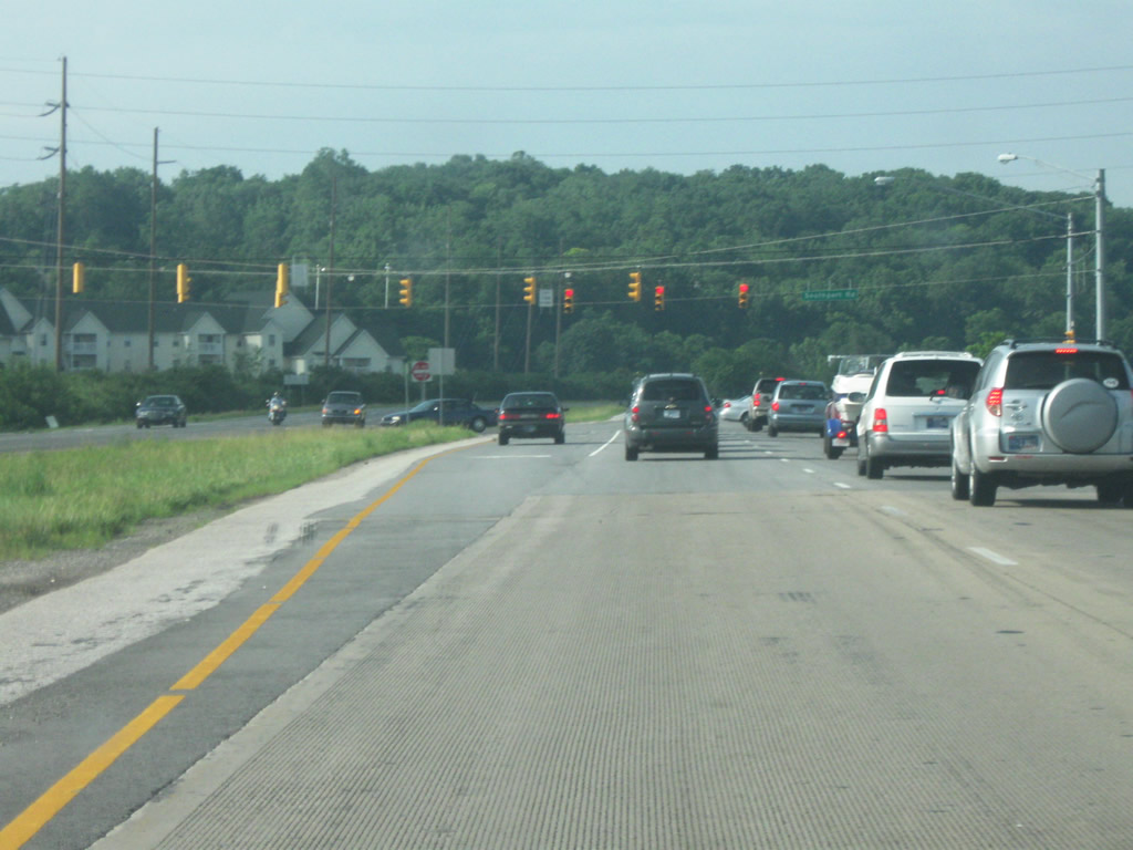
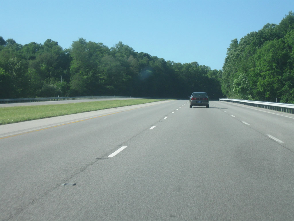
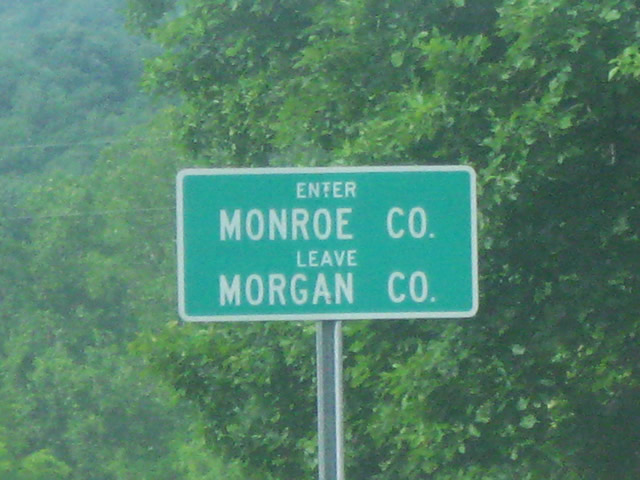
| The first few miles of SR 37 are within Perry Township, on the Southside of Indianapolis. This is one of the few conflict regions for the new Interstate 69 extension which will follow SR 37 from Bloomington north toward Interstate 465. The other main conflict region famously is Bloomington itself. Through Perry Township, the highway is a four lane expressway with stoplights at most intersections, primarily with Edgewood Avenue, Banta Road, Southport Road, and Wicker Road. The route is heavily traveled by commuters from Perry Township and suburban Johnson and Morgan County as well as students and visitors to Bloomington and Indiana University. 06/21/09 |
|
| Mann Hill is the forested area up ahead as SR 37 approaches the Southport Road intersection. Mann Hill (not Crown Hill as often stated) is the tallest point in Marion County and represents the coming change for southbound travelers as the flat Hoosier landscape will give way to a more hilly appearance. Southport Road is a major west-east corridor across the Southside. To the east, the road connects SR 37 with Southport and Homecroft as well as Interstate 65 and to the west the road crosses the White River and connects with the town of West Newton in Decatur Township. This will be the first planned interchange of Interstate 69 south of Interstate 465. 06/21/09 |
|
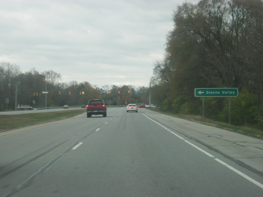
| At the next intersection, with Wicker Road, the small community of Glenns Valley is present. 11/13/11 |
|
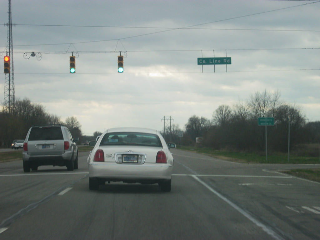
| The next intersection is County Line Road, and as the name implies, it is the county line between Marion County (Indianapolis) and Johnson County. Here SR 37 enters the northwestern corner of Johnson County (Population: 139,694). County Line Road is another planned interchange on the new Interstate 69. 11/13/11 |
|
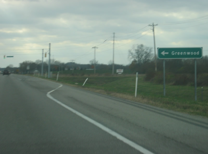
| SR 37 spends the next few miles within the boundaries of White River Township, more locally known as Center Grove. This is a growing suburban region of the Southside of Indianapolis that is adjacent to, but not a part of Greenwood (Population 49,791). Two roads, Fairview and Smith Valley cross Center Grove on their way toward Greenwood, which is situated along U.S. 31 and Interstate 65. This sign is at the approaching intersection with Smith Valley Road. The next interchange on the future Interstate 69 will be here. 11/13/11 |
|
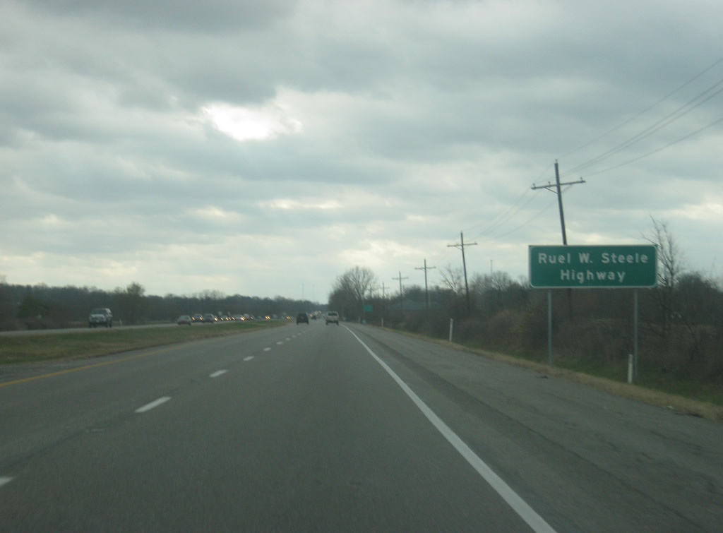
| SR 37 from Interstate 465 to Bedford is named the Ruel W. Steele Highway, after the head of the Highway Commission for which the SR 37 expressway was built. But as with most Indiana highways that are given names, the highway is only referred to as SR 37. 11/13/11 |
|
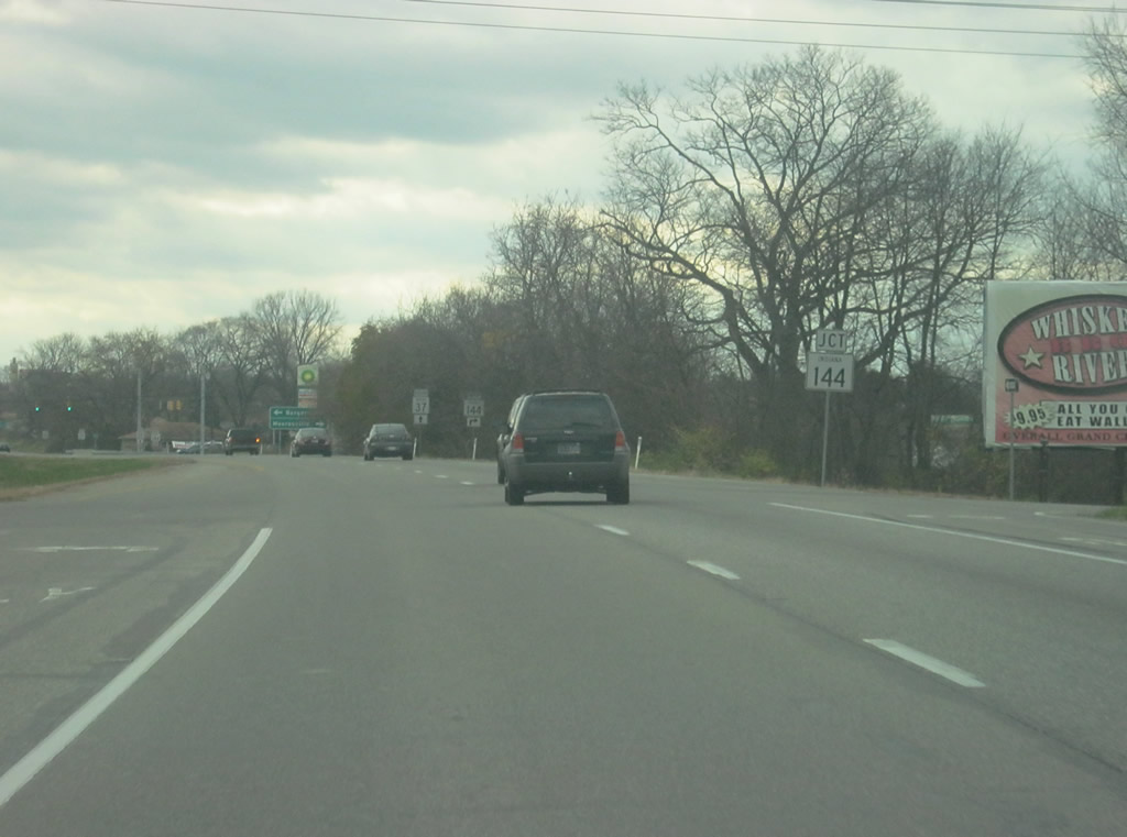
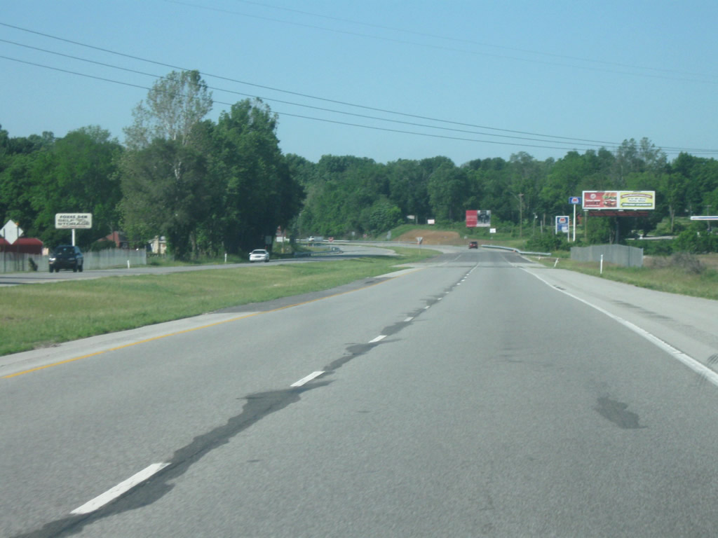
| A couple of miles further south, SR 37 approaches the intersection with SR 144/County Road 144. SR 144 is broken up into two separate segments that are joined by County Road 144 in the center. The road begins in Franklin toward the southeast and goes to the northwest toward Bargersville. From Bargersville, it becomes County Road 144 for about seven miles up to the intersection with SR 37. West of there, it is SR 144 once again as it makes the 8 mile trek northwest to Mooresville. Largely, the road is simply known as 144 by those who pass it by. 11/13/11 |
|
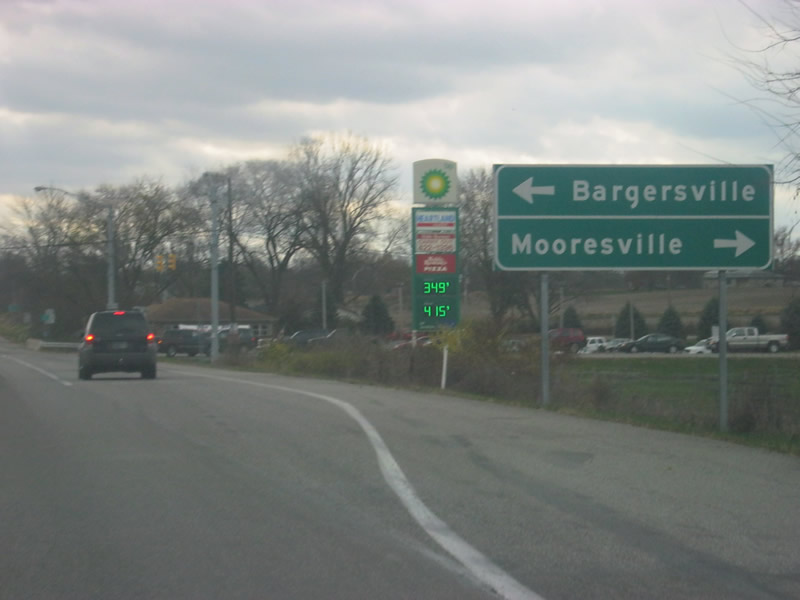
| The control cities of Bargersville (for County Road 144) and Mooresville (for SR 144) appear at the intersection with SR 37. This intersection is the last one in the Indianapolis Metro area for those going south and has a couple of gas stations and restaurants to serve travelers along the route. 11/13/11 |
|
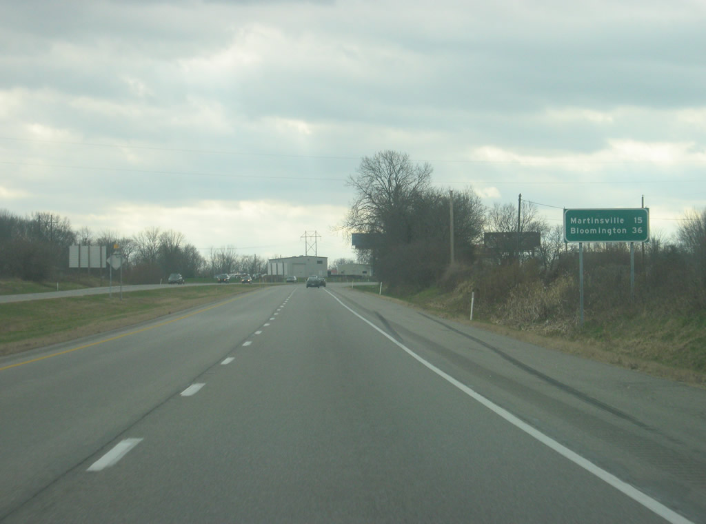
| South of the intersection with SR 144/County Road 144, the distance sign again shows the distance to Martinsville (15 miles) and Bloomington (36 miles). 11/13/11 |
|
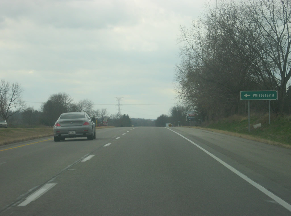
| At around this point, SR 37 enters Morgan County (population 68,894). Morgan County represents the midpoint between the Indianapolis and Bloomington areas and most of the residents who don"t work there will commute to either city. This makes SR 37 a busy highway throughout the county to serve the traffic that flows from either city. At this point, the intersection with Whiteland Road approaches, serving the town of Whiteland, located nearly 15 miles to the east near U.S. 31 and Interstate 65 in Johnson County. 11/13/11 |
|
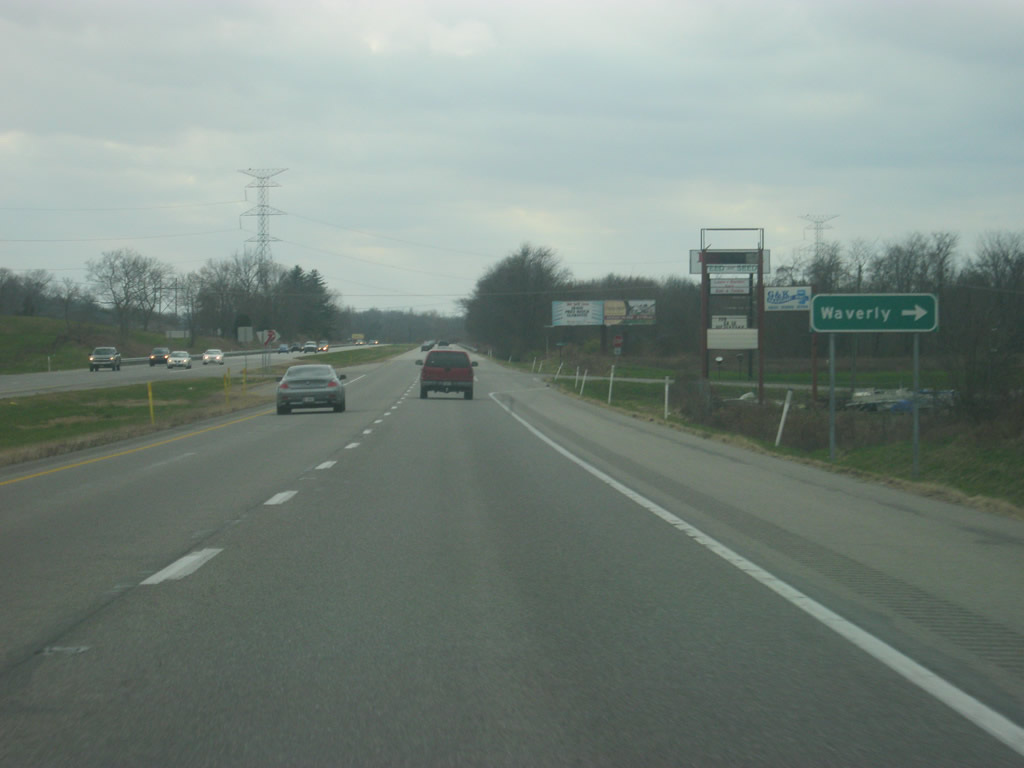
| A sign for the unincorporated area of Waverly, which is located just west of SR 37 and south of SR 144. 11/13/11 |
|
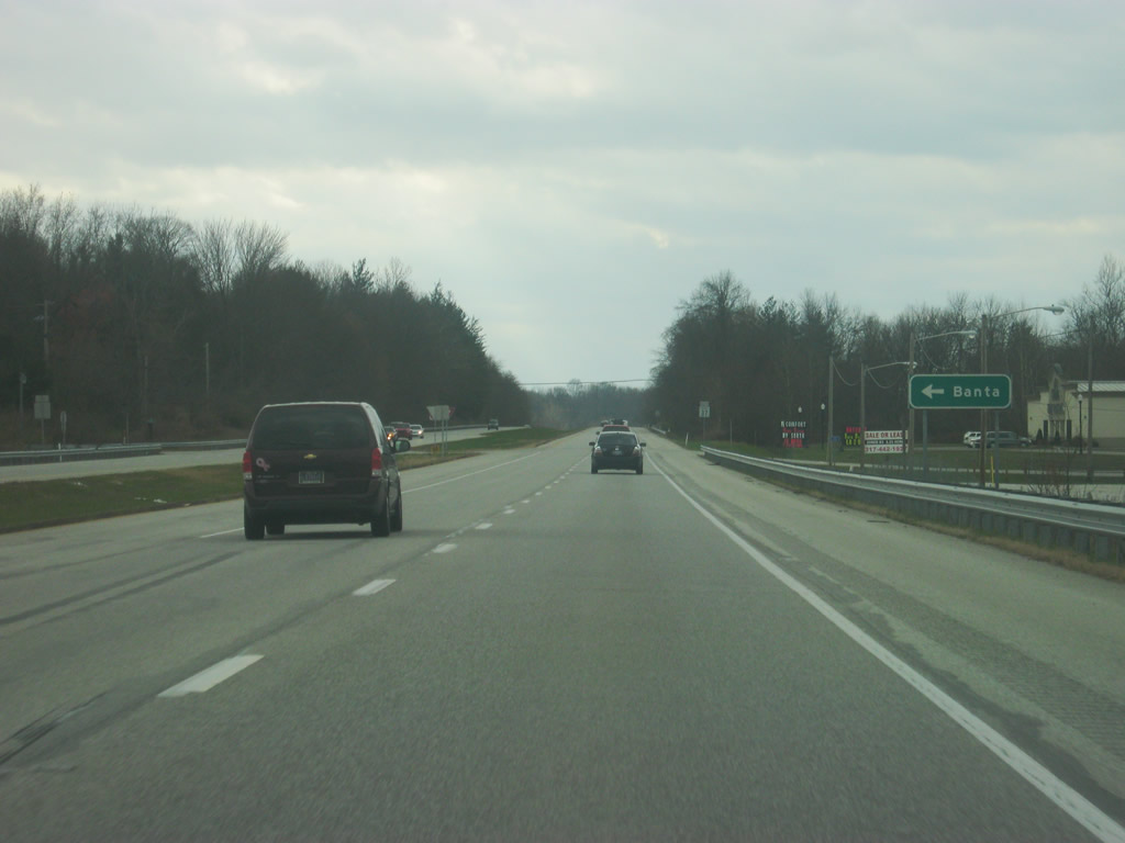
| A sign for County Road 650 North, which leads to the unincorporated community of Banta, located just east of the Morgan County line in Johnson County. 11/13/11 |
|
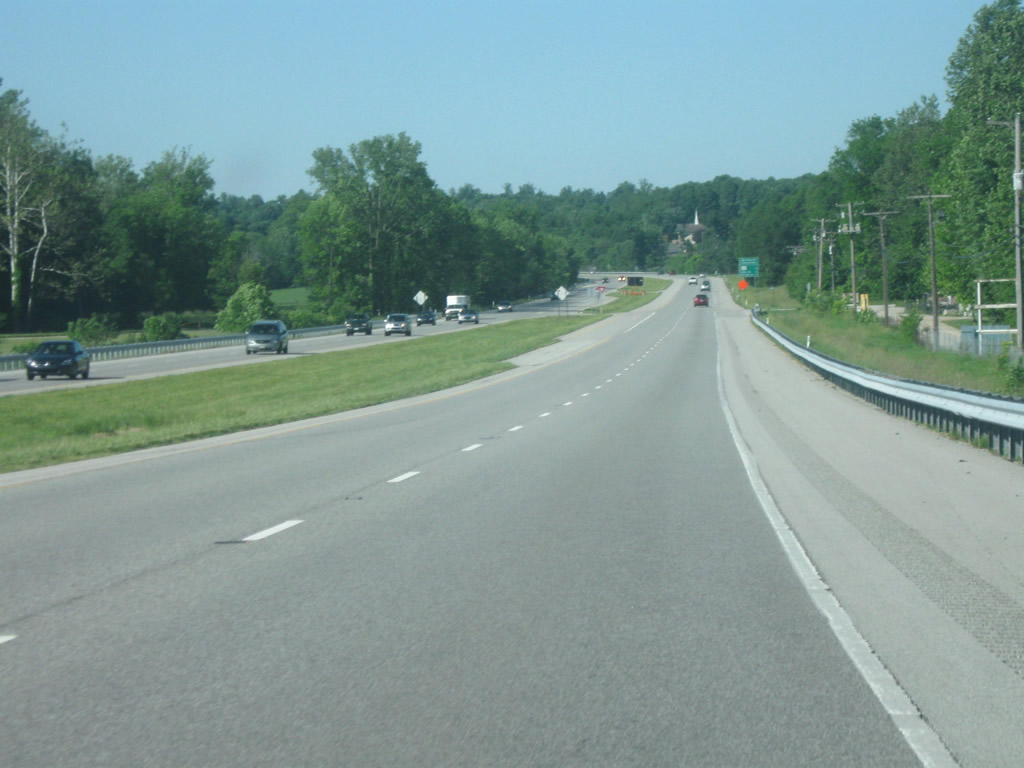
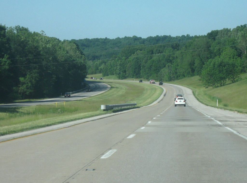
| The 15 mile stretch of SR 37 between SR 144 and Martinsville has the highway going along the edge of a growing hill system as one goes further south. If one is expecting the traditional Hoosier landscape of farmland and flat fields, then they are to be disappointed. Morgan County represents where the glaciers stopped and therefore part of the county remains glaciated. The West Fork of the White River forms a valley across the central part of the county, with SR 37 following the eastern edge of the valley. There are currently plans for at least one, if not two interchanges for the new Interstate 69 within this valley, at Egbert Road. 05/31/09 |
|
| Approaching the intersection with Country Club Road along SR 37 south. 05/31/09 |
|
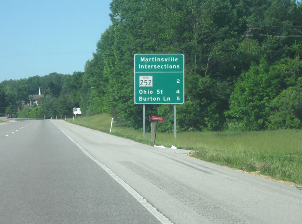
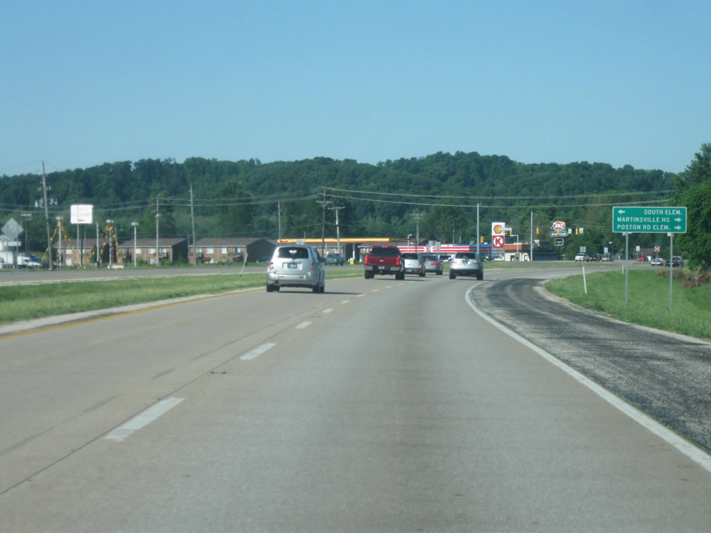
| A sign announcing the upcoming community of Martinsville and three of the major intersections with SR 37 around the city. SR 37 is unique in Indiana for being the only highway with signs like this announcing the location of upcoming "exits." In this case, the term intersections are correctly applied. SR 252, Ohio Street, and Burton Lane are the three most important, but not the only, intersections around Martinsville. 05/31/09 |
|
| SR 37 continues south as it approaches Martinsville. Martinsville (population 11,828) is the county seat and largest city in Morgan County. Martinsville is known as the Gateway to Southern Indiana and for those coming south from Indianapolis, it marks the beginning of the transition from the till plains of Central Indiana and the rolling, glaciated hills of Southern Indiana. Martinsville is the only major community in between suburban Indianapolis and Bloomington and contains motorist services along the route. 05/31/09 |
|
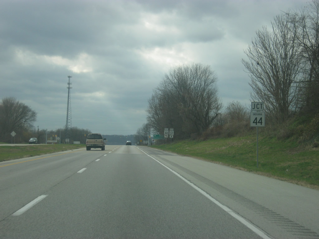
| The first stoplight for SR 37 approaches with the junction with SR 44. SR 44 is the first major west-east state highway across Indiana that is south of Interstate 70. The highway begins at the intersection with SR 37 and continues east for 90 miles across the state, touching with the cities of Franklin, Shelbyville, Rushville, Connersville, and Liberty before leaving the state at the Ohio border. As around this point the speed limit drops to 50 as the highway makes its bypass of Martinsville. 11/13/11 |
|
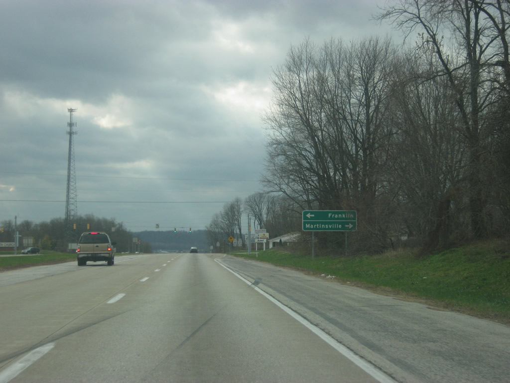
| Guide signs point to Franklin and Martinsville at the SR 44 intersection. To the west of SR 37, the road becomes Reuben Drive, which continues on to Morgan Street, the main west-east road across Martinsville. 11/13/11 |
|
| The SR 44 intersection marks the first of five stoplights along the next couple of miles of SR 37 as the highway makes its way around Martinsville. The future Interstate 69 will be routed along the SR 37 highway around Martinsville, but as of 2011 there have been no definite plans as to where the exits for Martinsville will be. There are plans for either an interchange with SR 44, the upcoming SR 252, or one located in between the two. 11/13/11 |
|
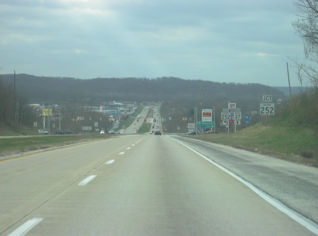
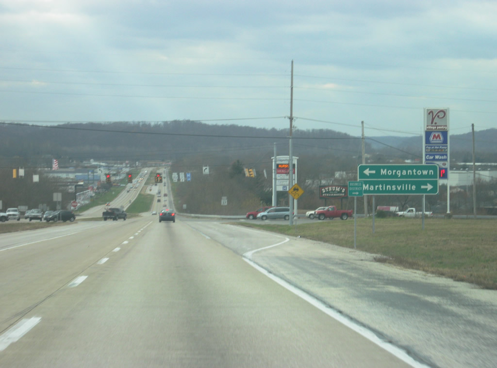
| The next approaching intersection is with SR 252, a state highway connecting Martinsville with the town of Morgantown in southeastern Morgan County. The highway continues east from there across southern Johnson County and past Camp Atterbury on its way through Edinburgh and finally into Shelby County where it ends at SR 9. The highway is divided into two segments; the main western segment goes for 39 miles from Martinsville to SR 9 while the second segment is found in Franklin County in southeastern Indiana. 11/13/11 |
|
| Control cities of Morgantown and Martinsville for the upcoming intersection with SR 252. Morgantown is nine miles southeast of SR 37 on a windy stretch of SR 252. To the west, the road becomes Hospital Drive, providing access to Morgan Hospital as well as the aforementioned Morgan Street. 11/13/11 |
|
| Now at the SR 252 intersection the highway starts dropping into the valley for which Martinsville is located and the hills of southern Morgan County are present in the background. 11/13/11 |
|
| SR 37 begins its trip around the east and south sides of Martinsville, providing a bypass for the original highway which went through via Morgan Street and Main Street (which links up to the current SR 39). As with many communities, much of the retail businesses in Martinsville have located themselves along the SR 37, making the road slow going on an otherwise free-flowing transit between Indianapolis and Bloomington. 05/31/09 |
|
| The highway has stoplights with Green Valley Boulevard, Ohio Street/Mahalasville Road (pictured ahead), and Burton Lane. Currently, the plan for the future Interstate 69 is to have an interchange at the Ohio Street/Mahalasville Road intersection with a likely frontage road system linking up to the businesses along the highway. 05/31/09 |
|
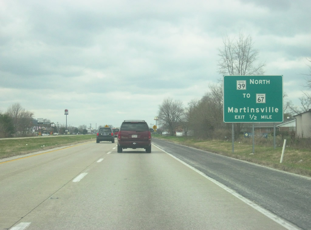
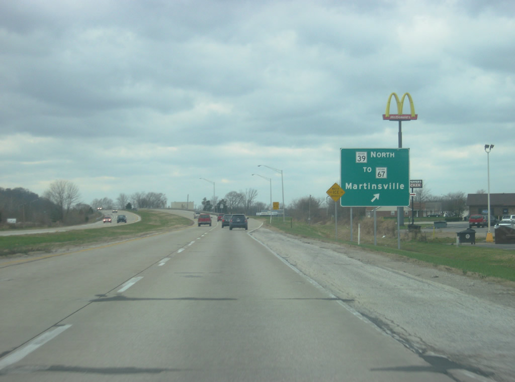
| Now approaching the Burton Lane intersection, a guide sign for the interchange with SR 39 first appears. SR 39 is separated into two segmented highways as well and it is from SR 37 here in Martinsville that the much longer northern segment begins. The highway goes on for 180 miles as it heads to the north through Monrovia, Danville, Lebanon, Frankfort, Delphi, Monticello, and LaPorte before ending at the Michigan border where it becomes M-239 and connects with Interstate 94. The southern segment exists for only 14 miles in Washington and Jackson Counties in southern Indiana. 11/13/11 |
|
| Now passing the Burton Lane intersection, the exit ramp for SR 39 appears. Around Martinsville, SR 39 is known as a connector route around the west side of Martinsville to SR 67, which is a four lane highway from Martinsville north to Mooresville and Indianapolis. It is also the only bridge across the West Fork of the White River, a link that is being repaired as of 2011. This interchange also designates the location where the original SR 37 came out of Martinsville. 11/13/11 |
|
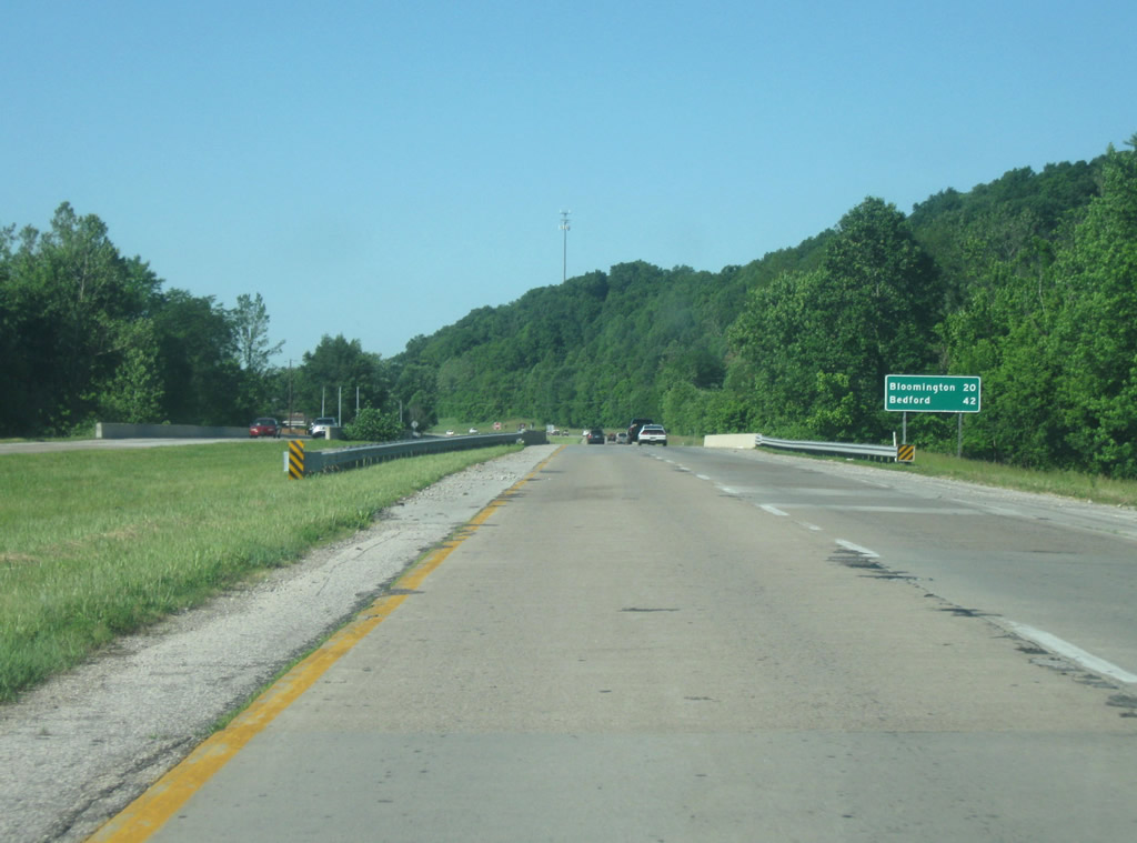
| Now leaving Martinsville, the speed limit returns to 60 miles per hour. The next distance sign announces that Bloomington is now 20 miles away while Bedford, the next control city to the south is 42 miles. 05/31/09 |
|
| SR 37 stays on the western side of the hills as it begins its climb toward Monroe County. These hills are part of the Morgan-Monroe State Forest, which is a popular recreational area in Morgan County. The current routing of SR 37 was a route meant to bypass the original route which followed county roads south of Martinsville and through the Morgan-Monroe State Forest. Around the 1950s the highway was moved to the west so that it went southwest of Martinsville before going south into Monroe County toward Bloomington. In the 1970s, as traffic got heavier the entire highway was expanded to four lanes. The southbound lanes are the newer lanes of the highway while the northbound lanes are the original highway. 05/31/09 |
|
| At this point, SR 37 enters Monroe County (population 137,974), home of Bloomington and Indiana University. Monroe County and Bloomington are the largest county and city in Indiana to have only state highways, until Interstate 69 is built through it anyway. 05/31/09 |
Page Updated 11-29-2011.