|
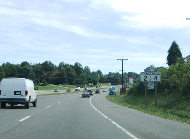
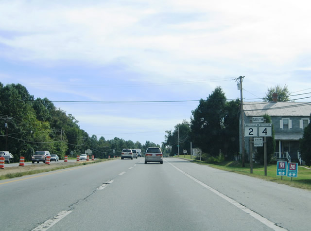
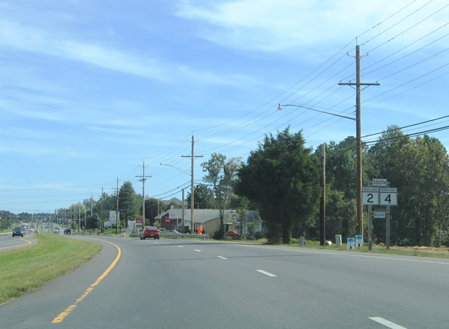
| The first of many southbound reassurance shields for MD 2/4 on Solomons Island Road. The two highways share 27.5 miles of pavement between Sunderland and Solomons Island. 09/25/04 |
|
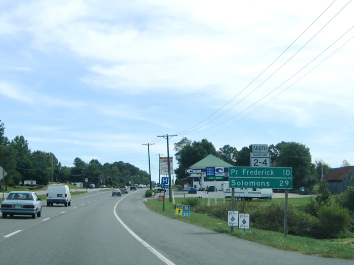
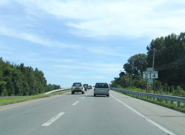
| MD 2-4 reassurance shield and distance sign posted south of their merge. The combination between a reassurance shield and distance sign is typical for the state of Virginia, but rarely used in Maryland. Huntingtown lies four miles to the south. 09/25/04 |
|
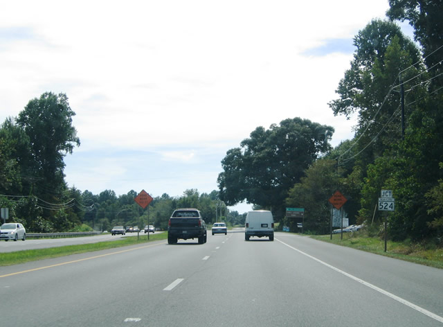
| Approaching the northern terminus of MD 524 (Old Town Road) near the village of Huntingtown. MD 524 constitutes just one half mile along Old Town Road between MD 2/4 (Solomons Island Road) and MD 521 (Huntingtown Road). 09/25/04 |
|
| Southbound at the split with MD 524 (Old Town Road) on MD 2/4 (Solomons Island Road). MD 524 follows the original MD 2/4 alignment through Huntingtown. 09/25/04 |
|
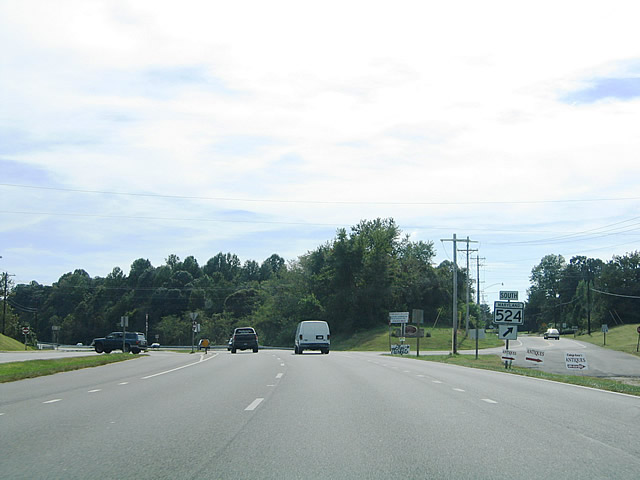
| MD 2/4 bypass Huntingtown Road to the east. MD 521 continues Old Town Road south from MD 524 back to Solomons Island Road ahead. 09/25/04 |
|
| Southbound on the two mile drive between Huntingtown and MD 263 (Plum Point Road). 09/25/04 |
|
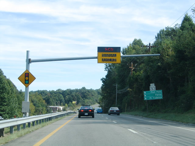
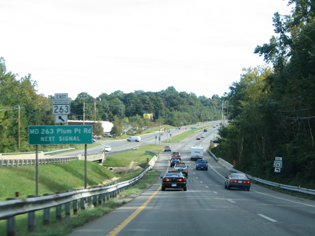
| Solomons Island Road crosses a local waterway ahead of the western terminus of MD 263 (Plum Point Road). MD 263 meanders 6.17 miles east from MD 2/4 to Plum Point on the Chesapeake Bay. 09/25/04 |
|
| MD 2/4 (Solomons Island Road) southbound at MD 263 (Plum Point Road). MD 263 reaches Parran in two miles and MD 261 (Bayside Road) near Willows in four miles. 09/25/04 |
|
| Two miles to the south of MD 263 (Plum Point Road) is the community of Stoakley. There MD 2/4 meet Stoakley Road at a signalized intersection. Stoakley Road ventures 2.2 miles west to the fork of Barstow Road and Leitches Wharf Road. 09/25/04 |
|
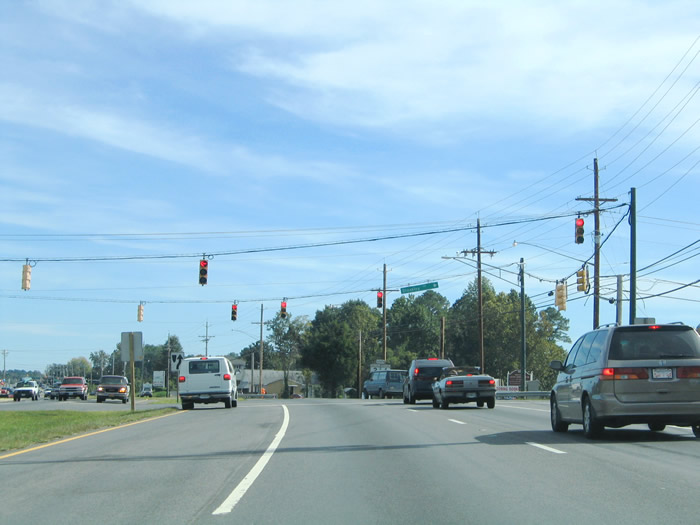
| MD 2/4 gain traffic and development as they near the Calvert County seat of Prince Frederick. Pictured here is the scene of Solomons Island Road southbound on the one mile drive between Stoakley Road and MD 402 (Dares Beach Road). 09/25/04 |
|
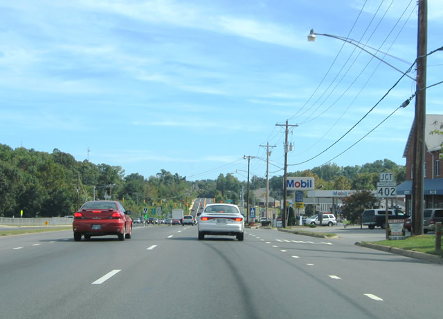
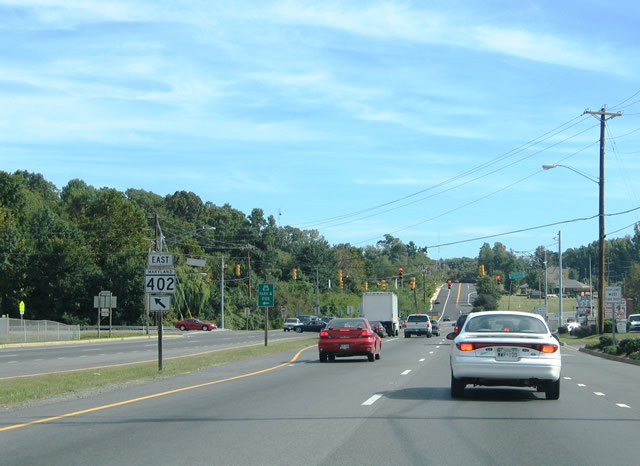
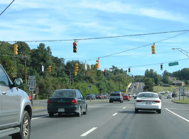
| MD 402 shield posted on MD 2/4 southbound ahead of the intersection with Dares Beach Road. MD 402 continues Dares Beach Road east from Solomons Island Road 4.33 miles east to Dares Beach along the Chesapeake Bay. 09/25/04 |
|
| Entering the signalized intersection with MD 402 (Dares Beach Road) on MD 2/4 (Solomons Island Road) southbound. Dares Beach Road continues west of MD 2/4 to Prince Frederick Boulevard nearby. 09/25/04 |
|
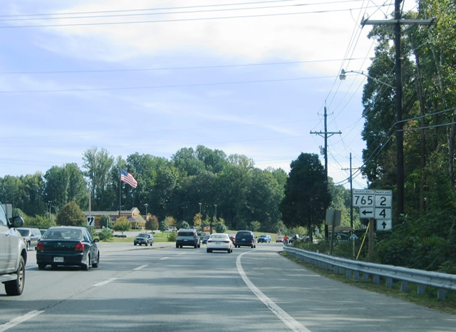
| MD 2/4 veers southwest around Prince Frederick just south of MD 402. MD 765 (Main Street) branches southeast into downtown Prince Frederick to the left. The state highway returns Main Street to MD 2/4 (Solomons Island Road) 2.1 miles to the south. 09/25/04 |
|
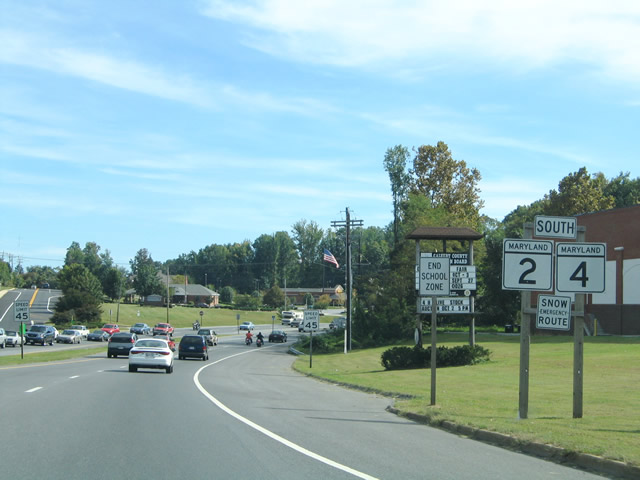
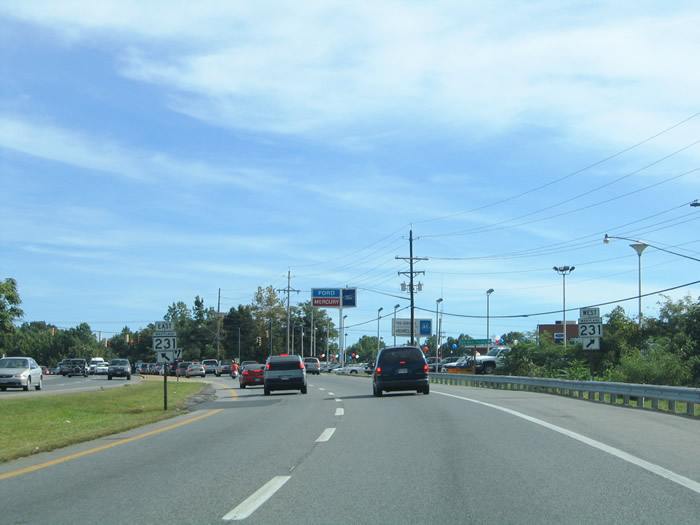
| MD 231 intersects MD 2/4 (Solomons Island Road) at Prince Frederick. The state highway follows Church Street west from Main Street (MD 765) to Solomons Island Road. From there MD 231 continues west onto Hallowing Point Road to the Patuxent River crossing at Benedict. 09/25/04 |
Page Updated 08-31-2010.