N.C. 69 links the north end of Georgia State Route 17/515 with U.S. 64 at the Clay County seat of Hayesville. The 3.9 mile long state route is part of Appalachian Regional Commission Corridor A.
|
| The first shield of NC 69 north stands just north of the Georgia state line, west of McClure Cove on Chatuge Lake. 07/09/10 |
|
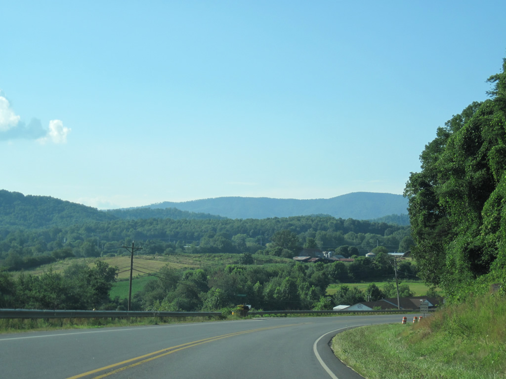
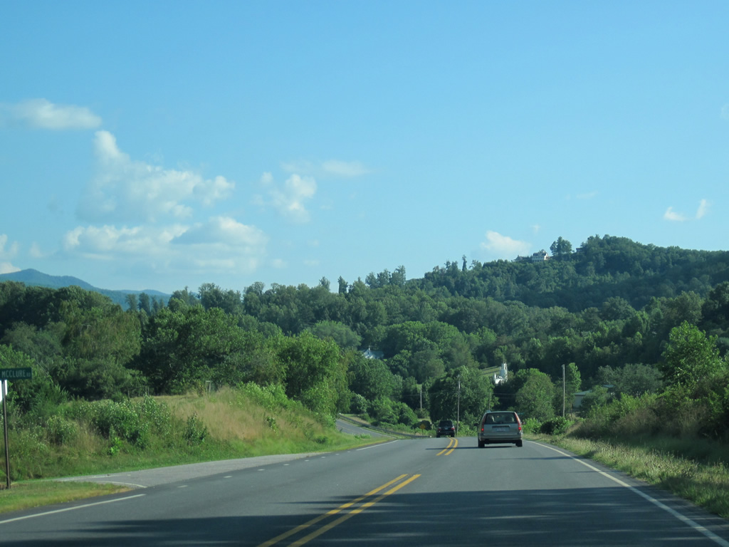
| NC 69 north passes east of Cherry Mountain ahead of valley fed by the South Fork of Blair Creek. Carroll Mountain rises on the horizon. 07/09/10 |
|
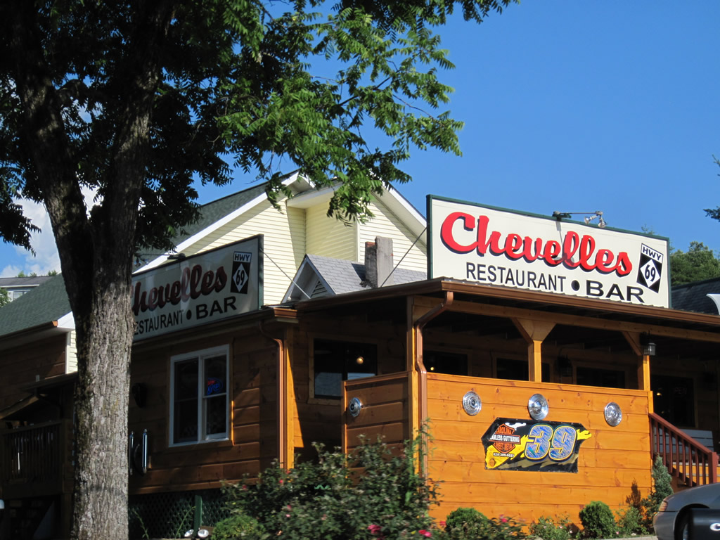
| Chevelles restaurant and bar uses NC 69 shields as part of their signage. 07/09/10 |
|
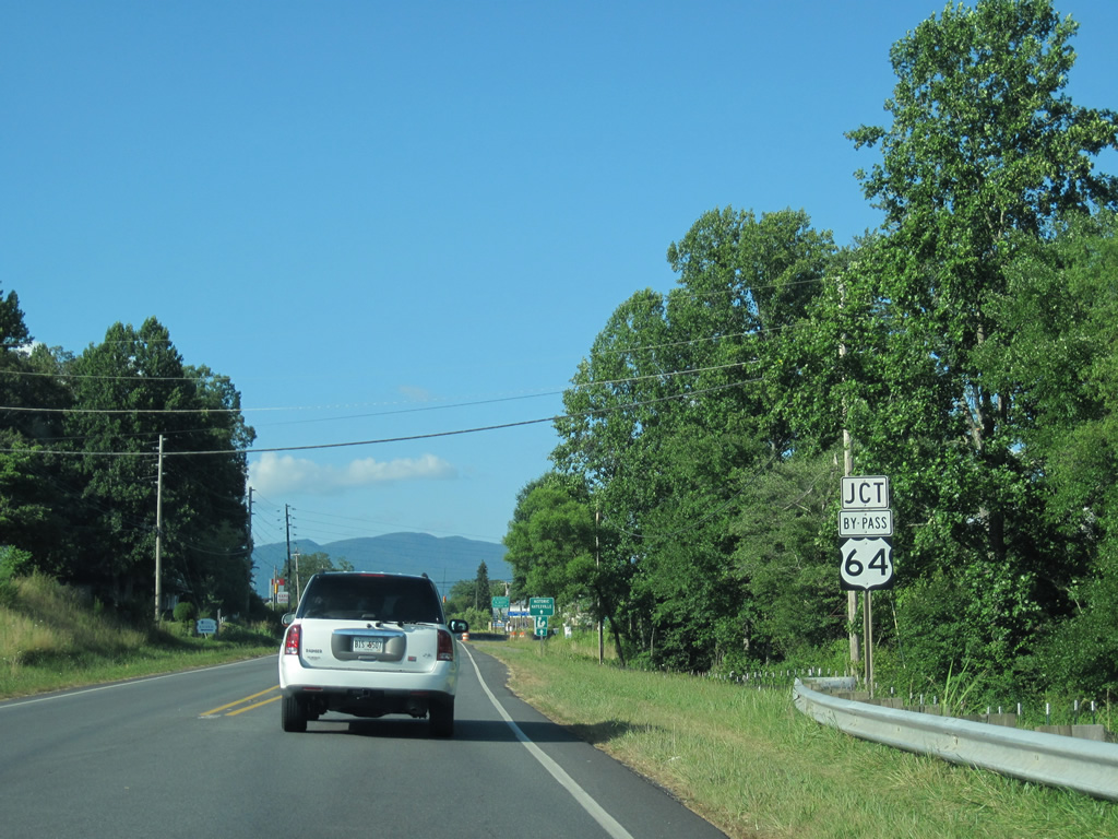
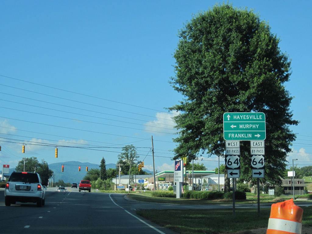
| U.S. 64 and NC 69 come together at a commercialized intersection south of Haynesville. U.S. 64 constitutes a five lane arterial bypass while U.S. 64 Business loops northward to the town center. 07/09/10 |
|
| West from NC 69, U.S. 64 leads 16 miles to the Cherokee County seat of Murphy and U.S. 19-74-129. East from Hayesville, U.S. 64 straddles northern reaches of Chatuge Lake en route to U.S. 23/441 at Franklin, 33 miles to the east. 07/09/10 |
|
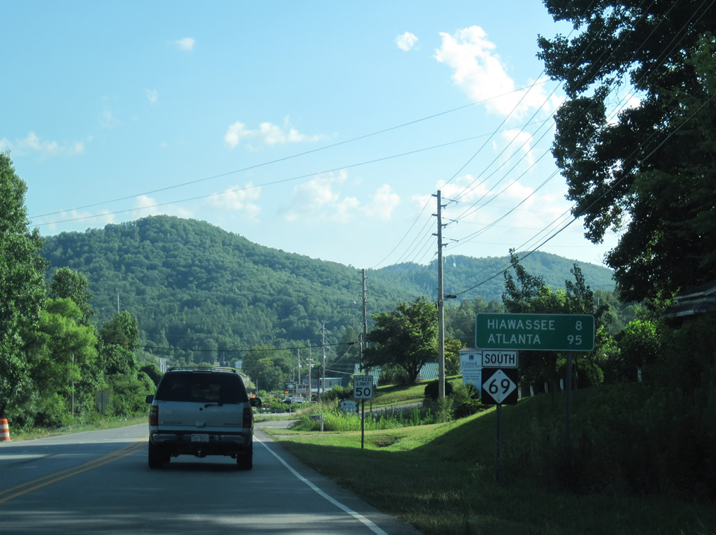
| Advancing south from U.S. 64, NC 69 heads toward Cherry Mountain. Hiawassee, Georgia lies eight miles to the southeast via SR 17 and U.S. 76 east. Atlanta is 95 miles to the southwest via SR 515, I-575 and I-75. 07/09/10 |
|
| NC 69 parallels Hyatt Mill Creek just east of Shewbird Mountain and west of Chatuge Lake in this scene. 07/09/10 |
|
| NC 69 transitions into SR 17/515 south at the Towns County line. SR 17/515 combine 1.1 miles to U.S. 76, where they split for Young Harris to the west and Hiawassee to the east. ARC Corridor A follows SR 515 south and U.S. 76 west. 07/09/10 |
Page Updated 01-30-2013.