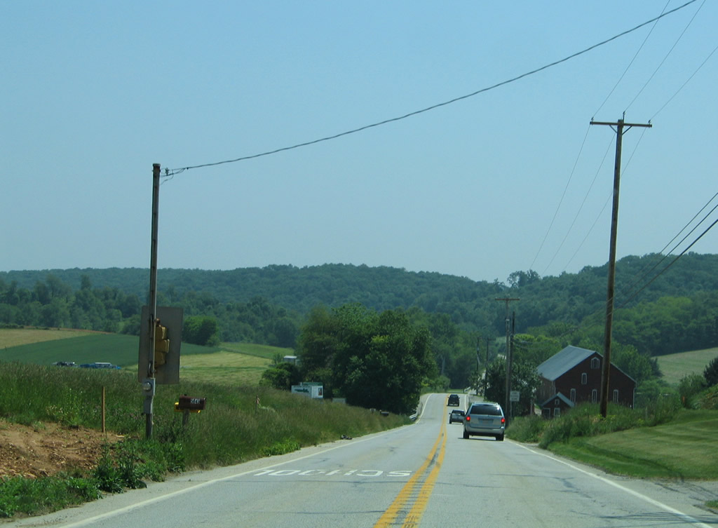
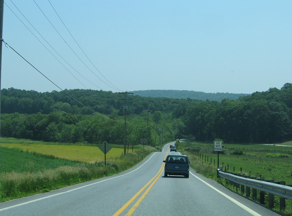
PA 216 constitutes a mainly rural route from Blooming Grove, just outside Hanover, to Codorus State Park, Glenville, Glen Rock, Interstate 83 at Exit 8, and Winterstown.
|
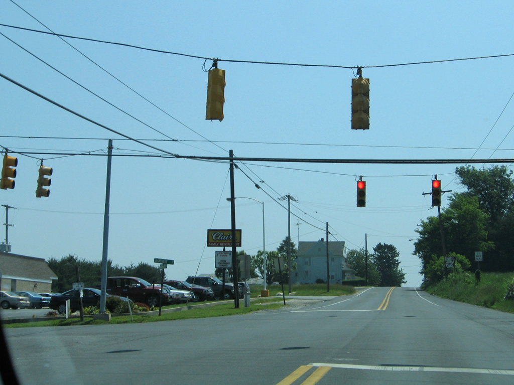
| Just east of the beginning at PA 116 (York Street), PA 216 (Blooming Grove Road) intersects Grandview Road at this traffic light. Grandview Road provides an eastern bypass of Hanover from PA 94 at Parkville to PA 116 at York Road. 06/05/05 |
|
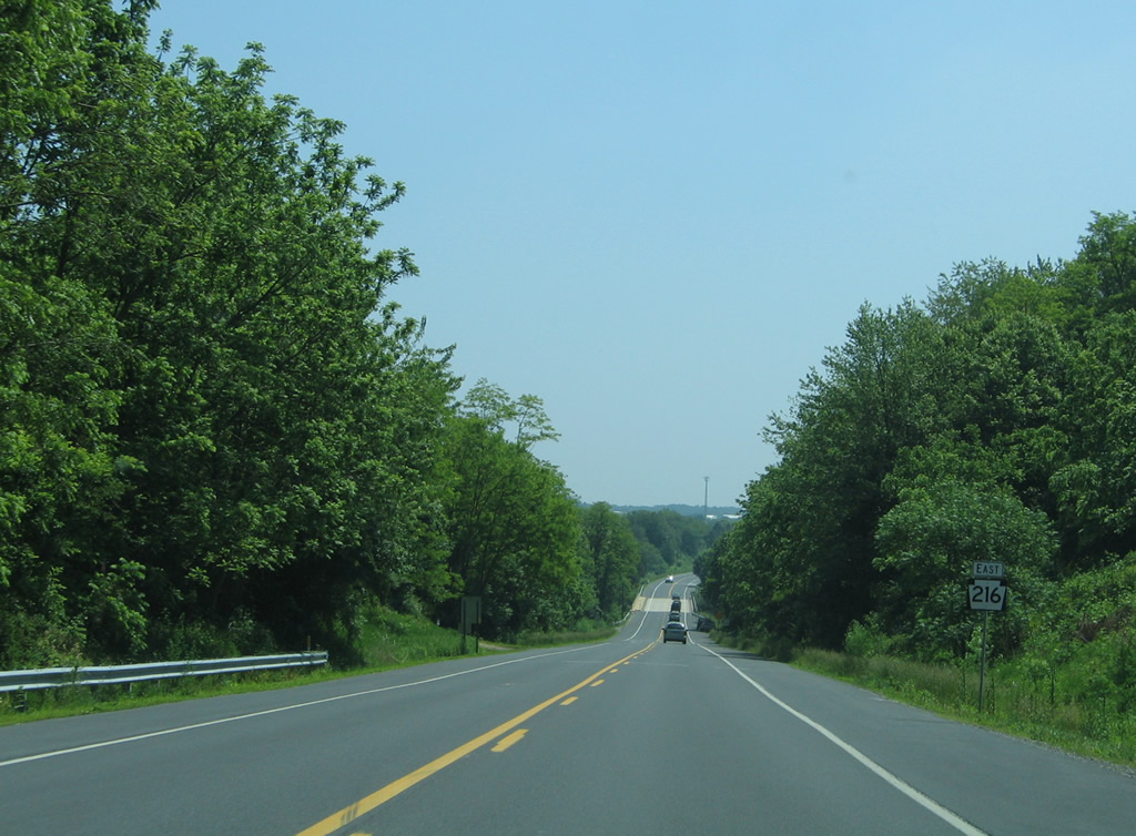
| Leading away from Grandview Road, drivers along Blooming Grove Road pass by a PA 216 shield assembly. 06/05/05 |
|
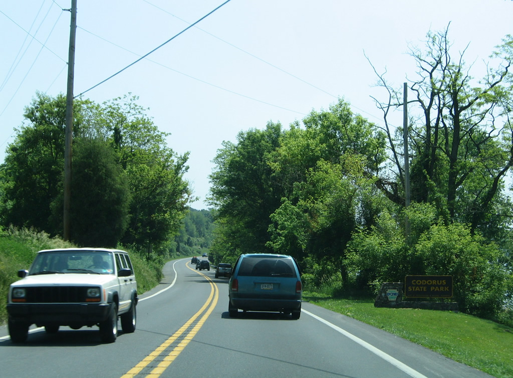
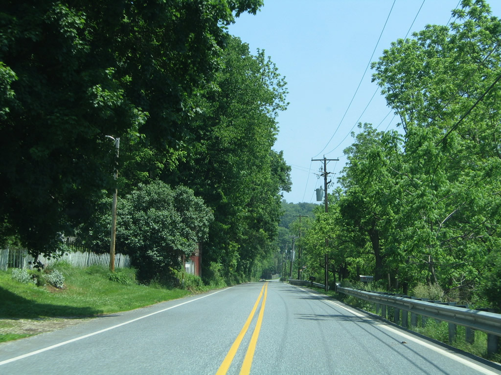
| PA 216 leaves Blooming Grove and enters Codorus State Park, a 3,452-acre preserve surrounding Lake Marburg in southern York County. The park provides opportunities for water sports, fishing, hunting, hiking along 19 miles of trails, and bird watching. 06/05/05 |
|
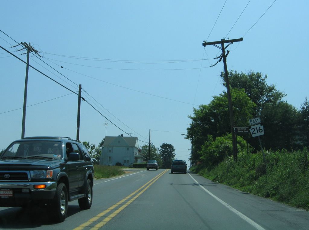
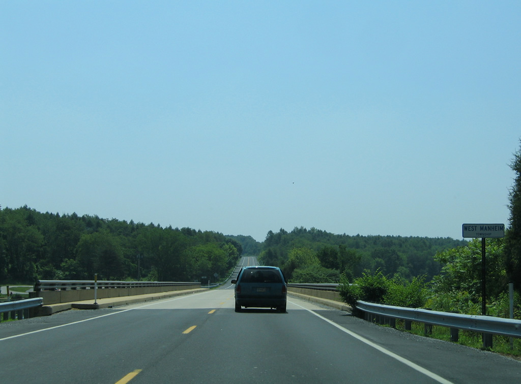
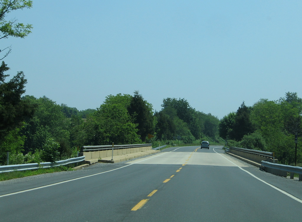
| Crossing Lake Marburg, which is formed by a dam along the West Branch of Codorus Creek, PA 216 (Blooming Grove Road) nips the corner of West Manheim Township. 06/05/05 |
|
| PA 216 lowers from Baumgardner Road toward a second bridge over Lake Marburg. 06/05/05 |
|
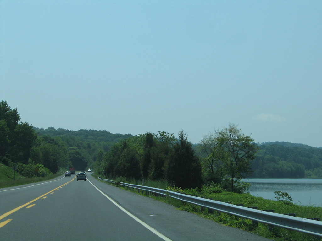
| South from Sinsheim Road, PA 216 (Blooming Grove Road) hugs the shoreline of Lake Marburg, which flooded the path of Long Run. 06/05/05 |
|
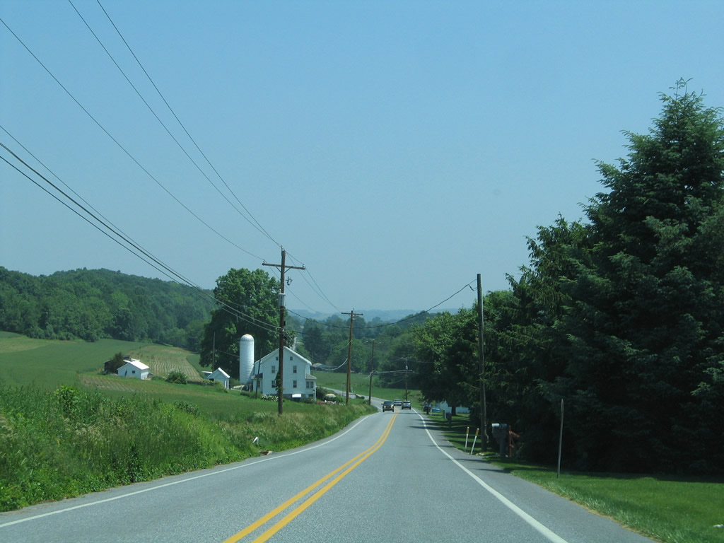
| Turning east again after the intersection with Allison Mill Road south, PA 216 approaches the settlement of Brodbecks through eastern Manheim Township. 06/05/05 |
|
| Manheim Road leads south across Beecher Hill to Hokes ahead of this eastbound reassurance marker. 06/05/05 |
|
| PA 216 drops from 863 feet in elevation at Manheim Road to 649 feet above sea level at Brodbecks. 06/05/05 |
|
| Smoketown Road arcs east from Sinsheim Road and Lake Marburg to Pentland and south along Codorus Creek to end at PA 216 (Blooming Grove Road). 06/05/05 |
|
| Glenville Road leads southwest from PA 216 alongside Beecher Hill to Carroll County, Maryland ahead of the next shield. 06/05/05 |
|
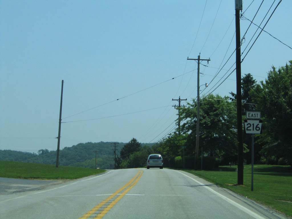
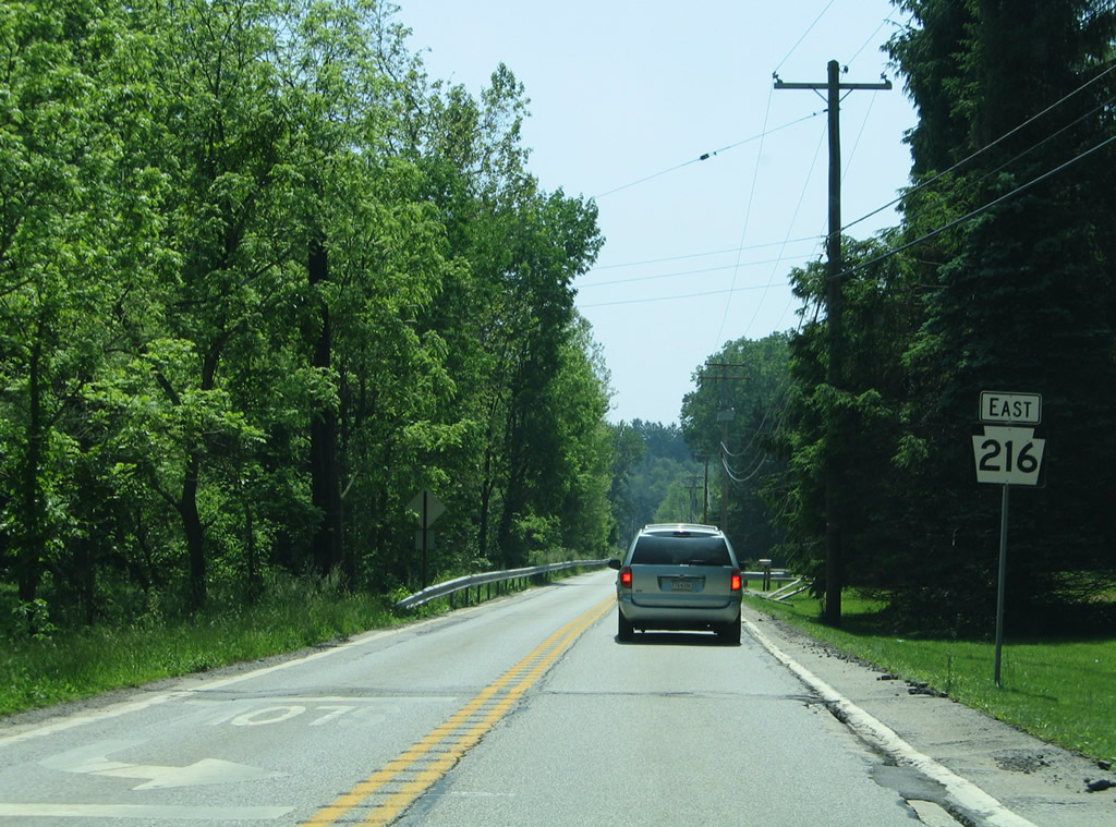
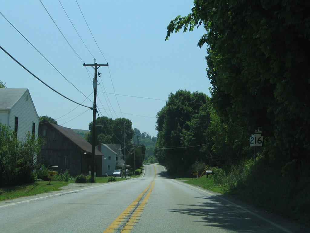
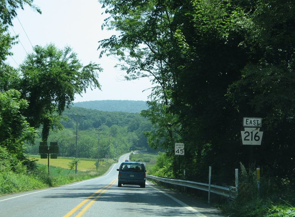
| Leaving the community of Glenville, PA 216 (Blooming Grove Road) travels six miles to Glen Rock and 16 miles to Winterstown. 06/05/05 |
|
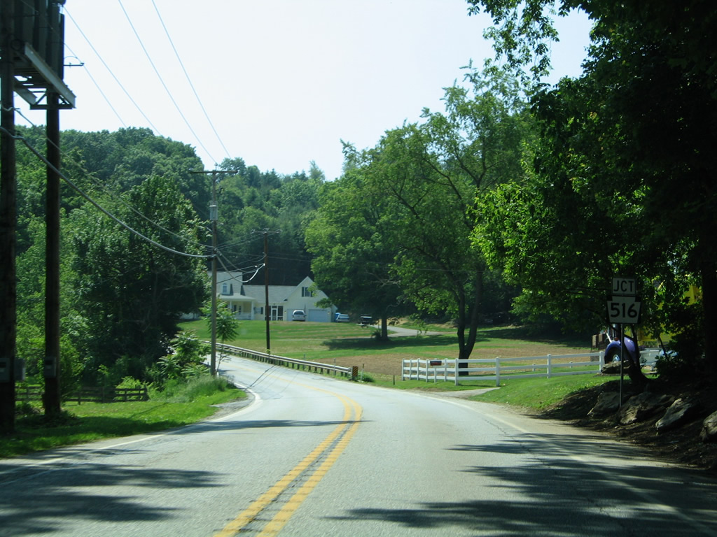
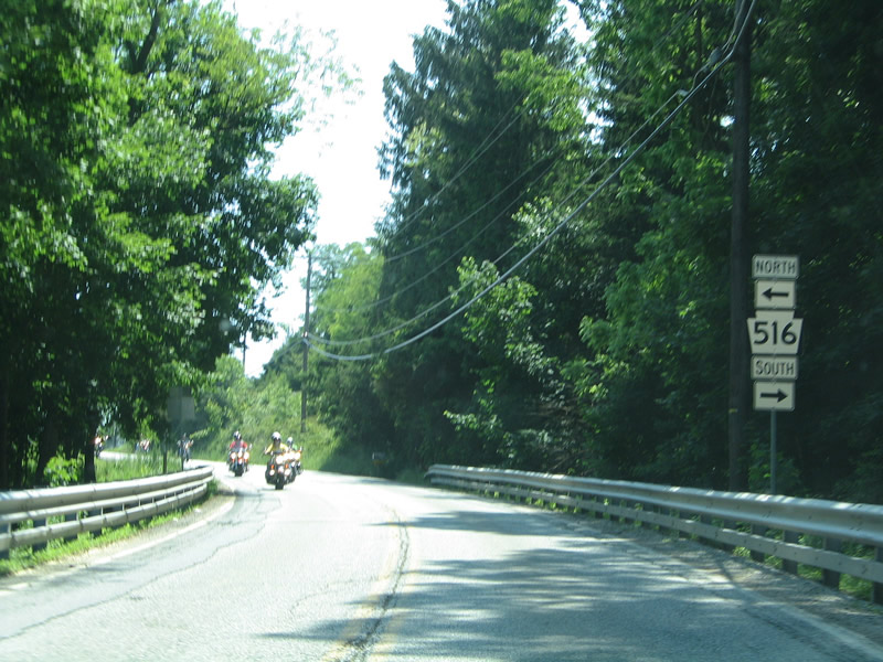
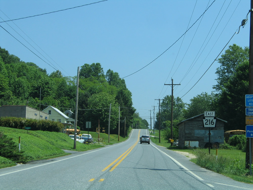
| PA 216 winds eastward through a gap in Dug Hill Ridge to meet PA 516 (Jefferson Road north / Steltz Road south). 06/05/05 |
|
| PA 516 totals 12.5 miles from Lineboro, Maryland (MD 86) to Spring Grove and PA 116. MD 86 continues the roadway four miles to MD 30 near Manchester. 06/05/05 |
|
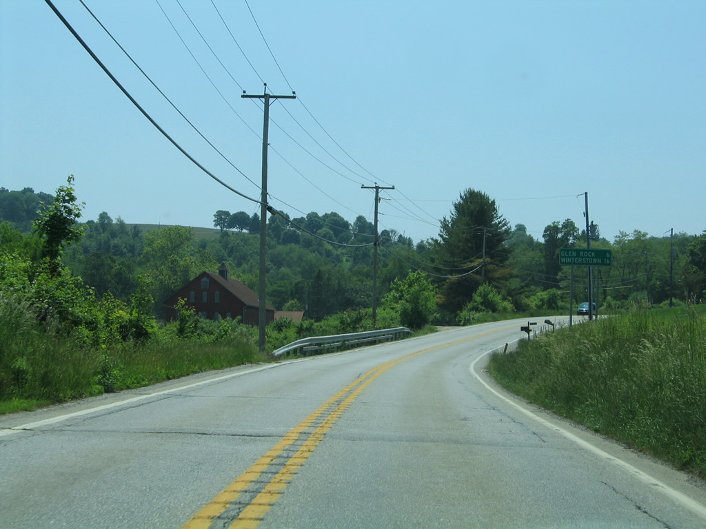
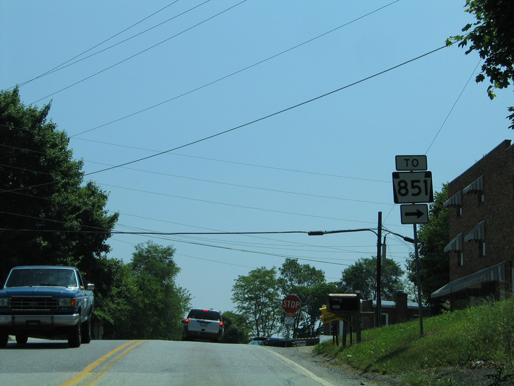
| A four-way stop sign lies at the crossroads of PA 216 and 516 at Sticks. PA 516 meets the west end of PA 851 (Steltz Road) nearby. The 32 mile route straddles the Maryland state line east to New freedom, Stewartstown and Fawn Grove. 06/05/05 |
|
| East from Sticks, PA 216 enters a valley between Dug Hill and Rocky Ridges to Pierceville. 06/05/05 |
|
| Traveling through Pierceville along PA 216 (Sticks Road) east. 06/05/05 |
|
| Farmland covers the hill side north of PA 216 ahead of Fissels Church Road. 06/05/05 |
|
| Fissels Church Road loops east from PA 216 (Sticks Road) through a gap in Rocky Ridge to PA 616 (Pleasant Valley Road) south of Glen Rock. 06/05/05 |
|
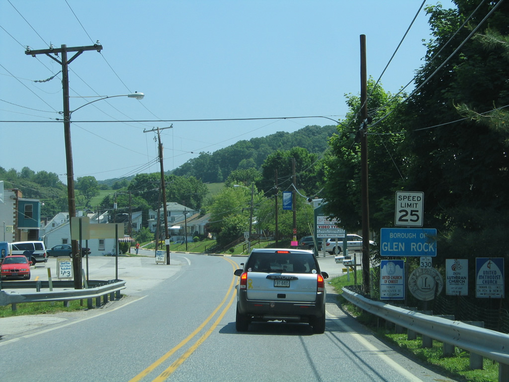
| PA 216 reaches the borough of Glen Rock. The state route follows Manchester Street into the town center. 06/05/05 |
|
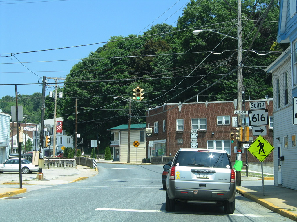
| A narrow stretch of Manchester Street carries PA 216 to PA 616 (Baltimore Street). 06/05/05 |
|
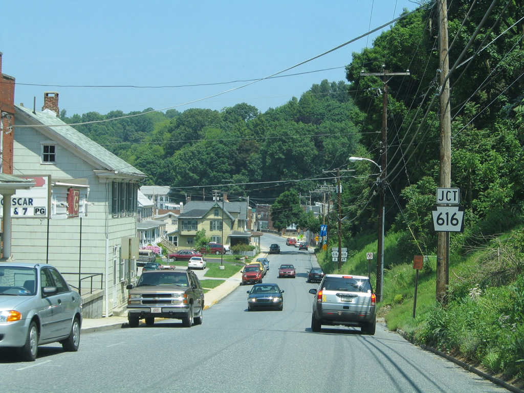
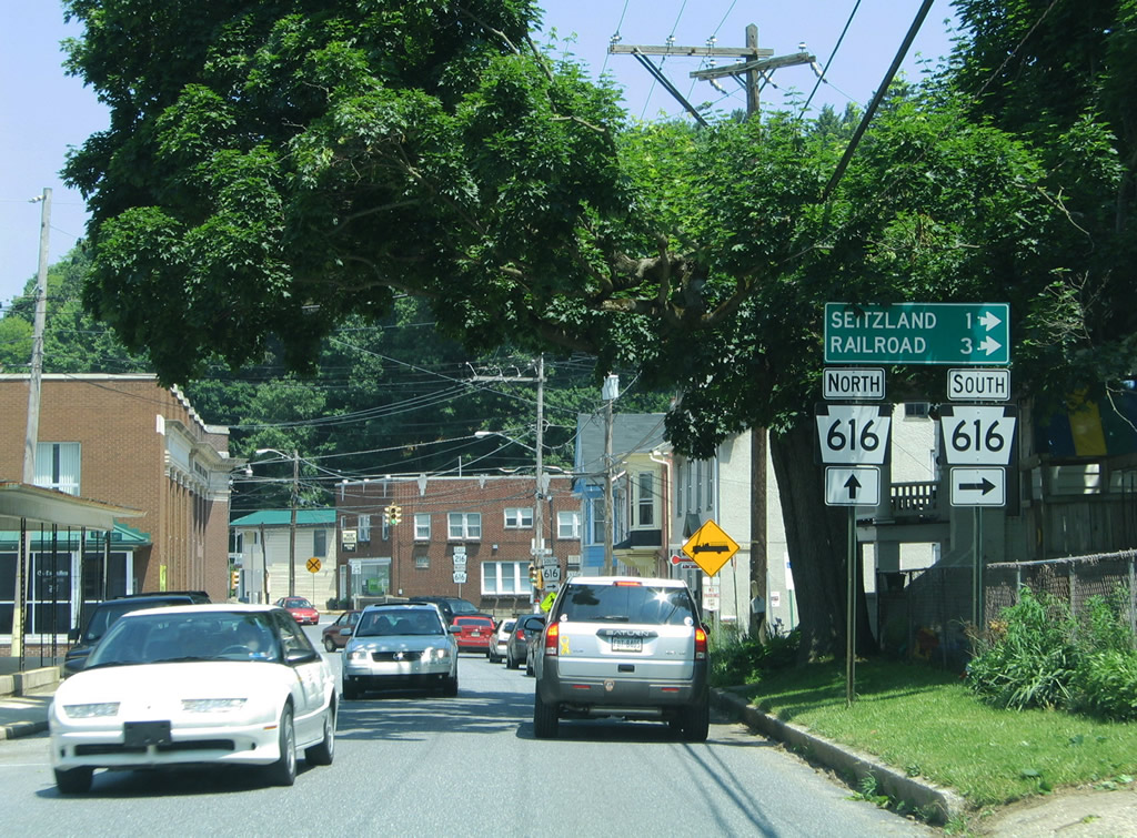
| PA 616 south connects Glen Rock with the boroughs of Railroad and Shrewsbury. Seitzland lies along Baltimore Street, east of PA 616 (Pleasant Valley Road), outside of Glen Rock. 06/05/05 |
|
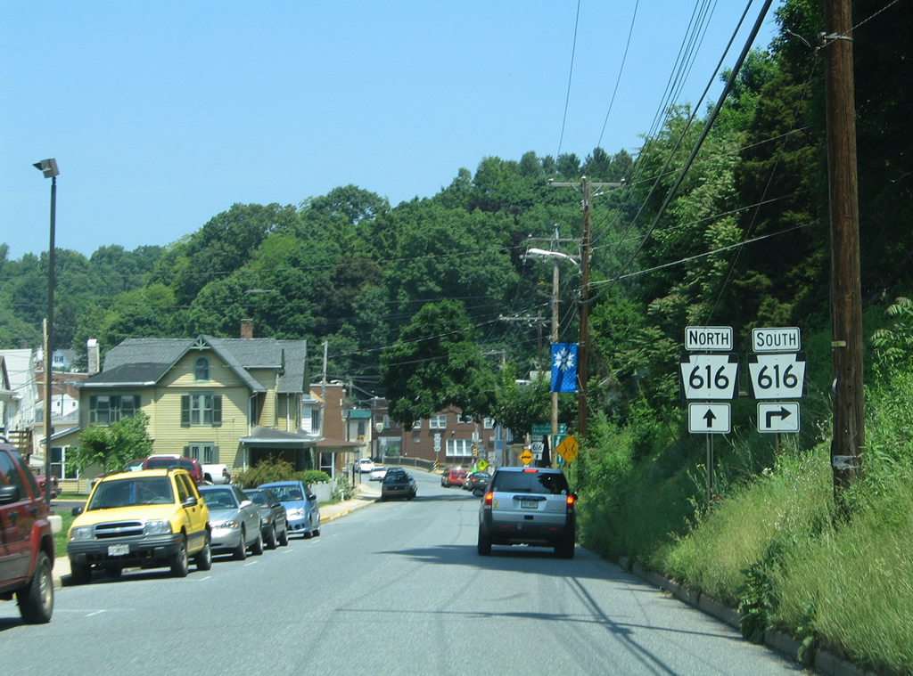
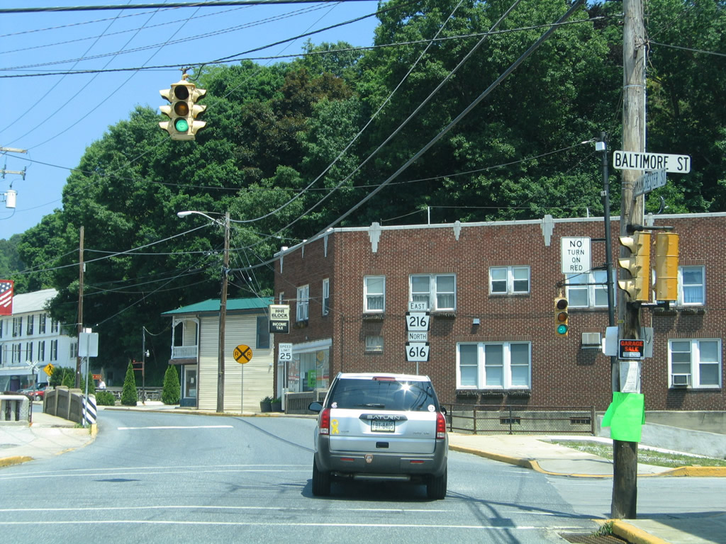
| Older traffic lights, including a one-piece four way, in operation at PA 216 east at PA 616 (Baltimore Street) south. Overall PA 616 stretches 14.9 miles from PA 851 at Railroad to U.S. 30 outside York. 06/05/05 |
|
| PA 216 & 616 share 0.7 miles of Main Street north from Baltimore Street to Centerville. The pair span the South Branch of Codorus Creek across from Baltimore Street. 06/05/05 |
Page Updated 05-20-2013.