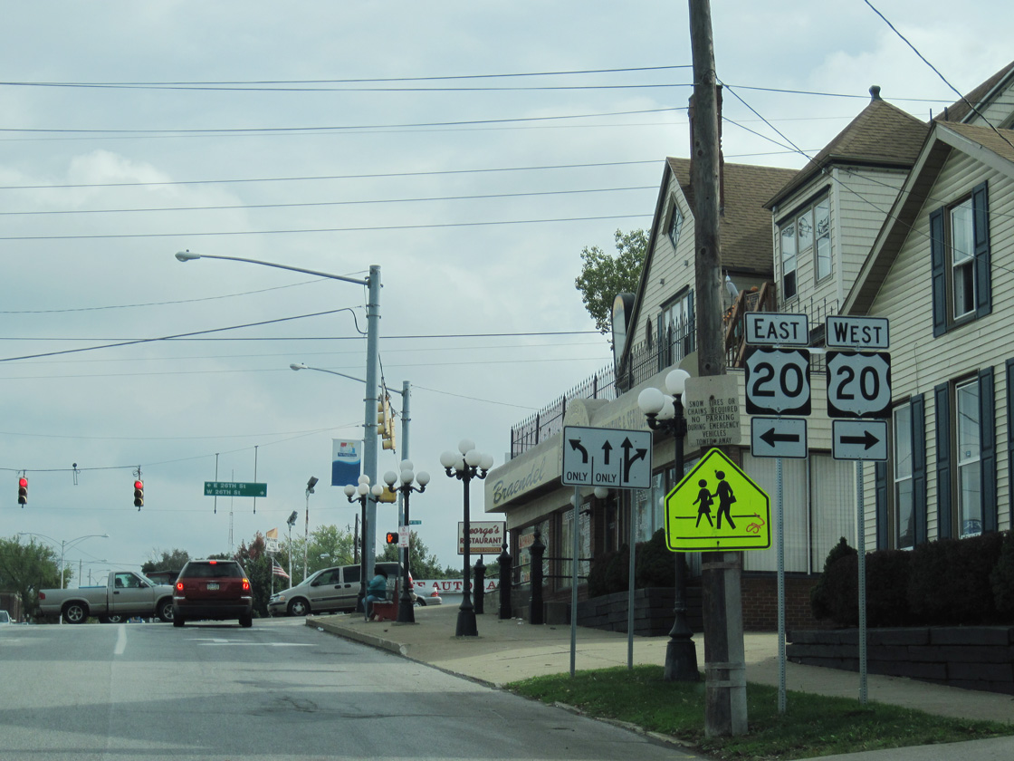
Pennsylvania Route 505 constitutes a 2.9 mile long loop from State Street in Erie south to PA 97 in Millcreek township. PA 505 follows Glenwood Park Avenue south from State Street and U.S. 20 (26th Street) to the Glenwood Heights neighborhood, Glenwood Park and the Erie city line. The remainder of the route follows Perry Highway south to PA 97 (Old French Road).
|
| State Street south at 13th Street, one block from PA 5/290 in Downtown Erie. 09/30/10 |
|
| State Street intersects 14th Street just east of Union Station. 09/30/10 |
|
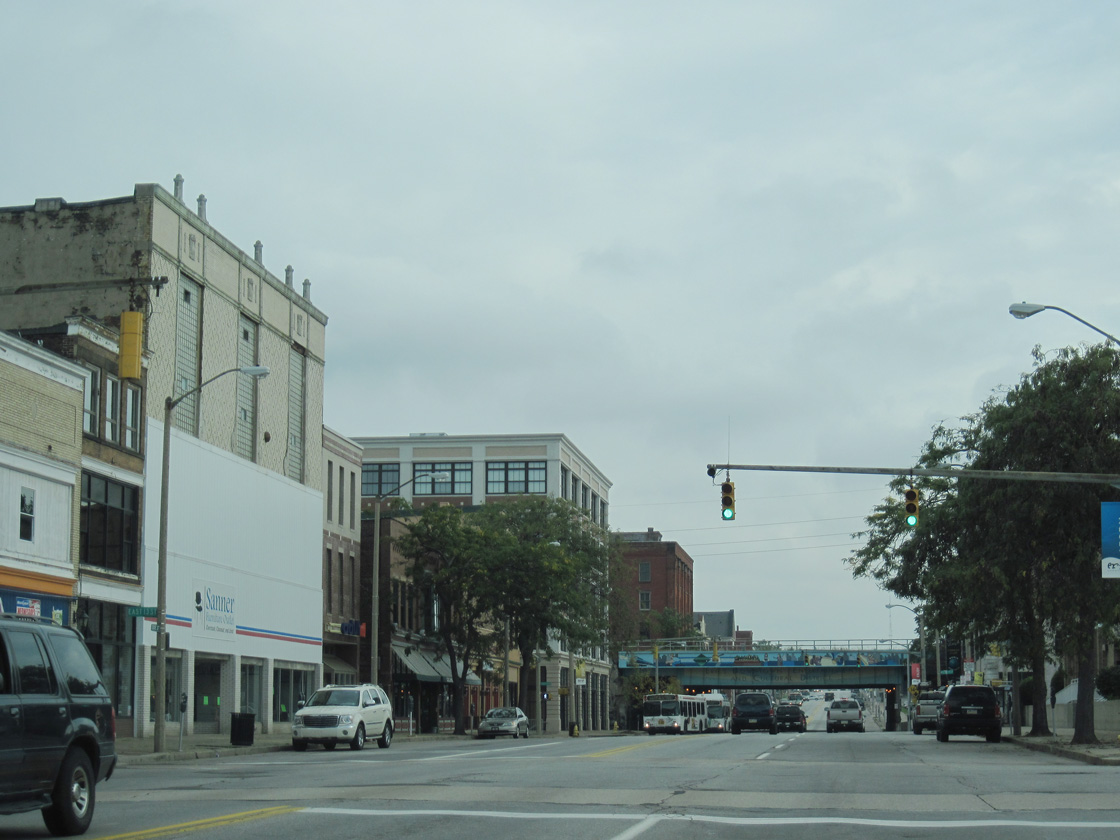
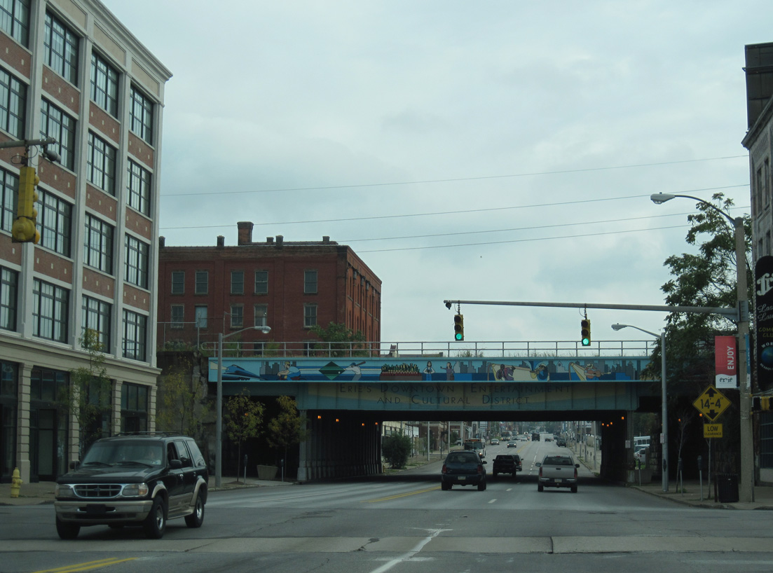
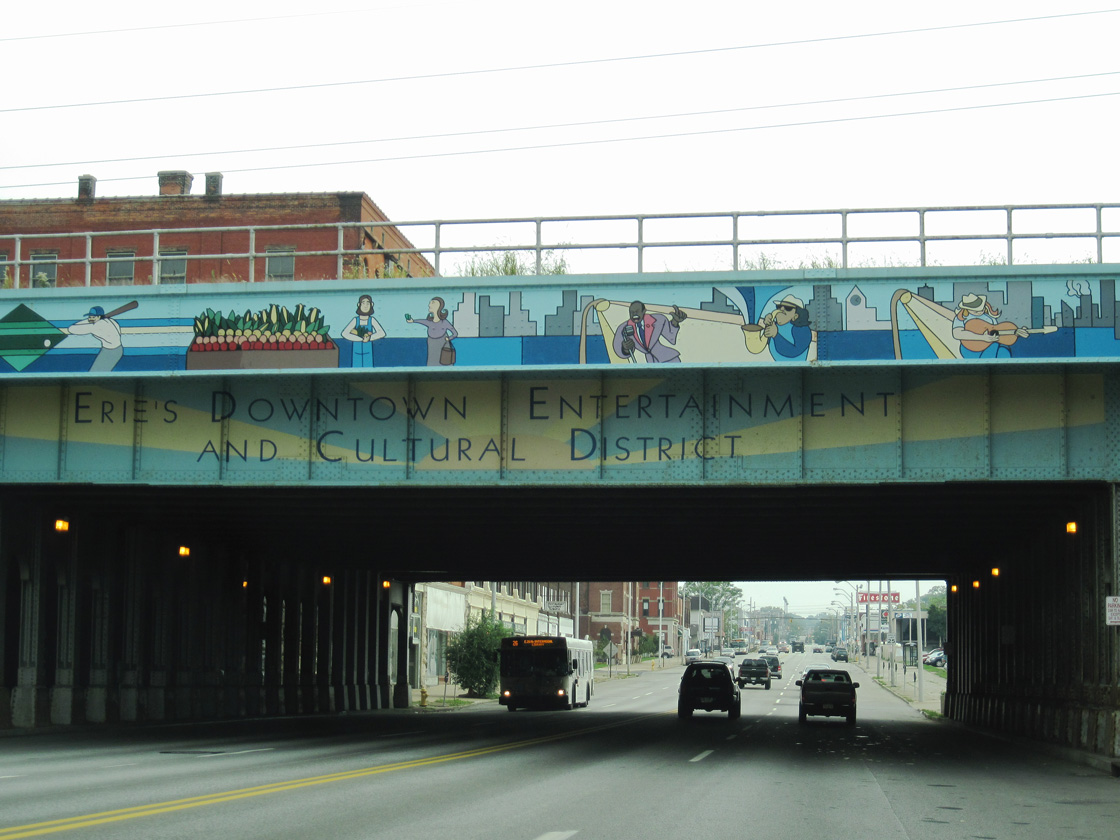
| Passing under the bridge for AMTRAK and the CSX Railroad on State Street southbound. 09/30/10 |
|
| 18th Street meets State Street with four lanes. 09/30/10 |
|
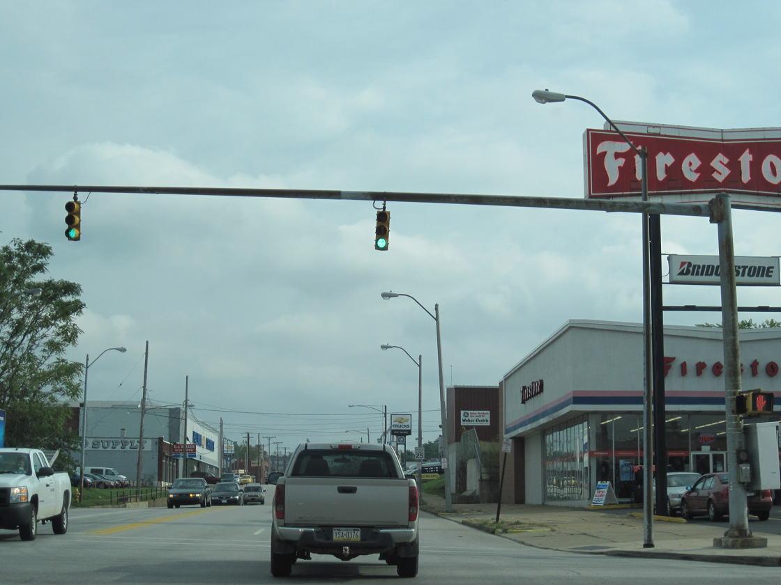
| A pair of car dealerships occupy the corners of State and 21st Streets. 09/30/10 |
|
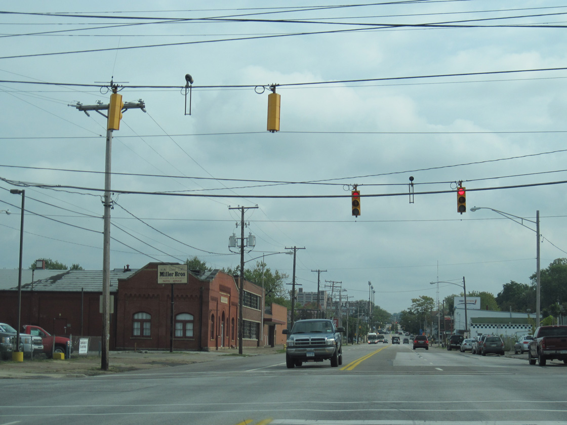
| The traffic lights at State and 24th Street were removed by 2017. 09/30/10 |
|
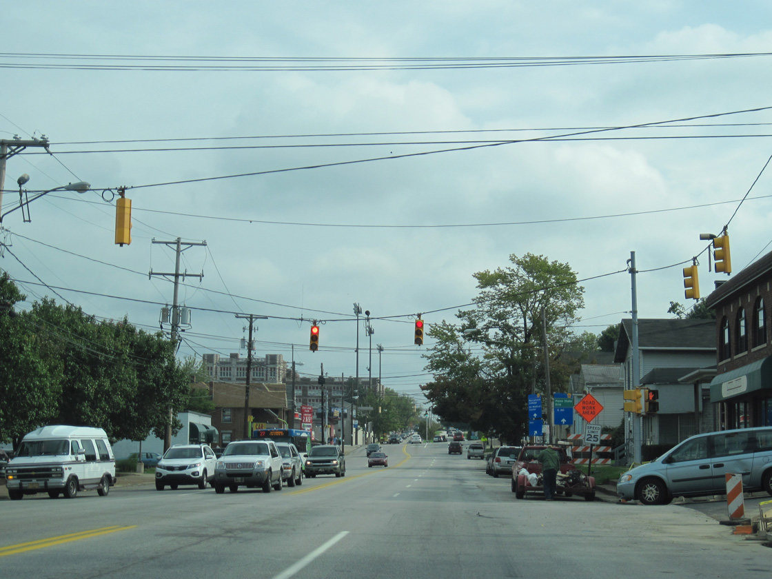
| State Street runs south from Downtown Erie to U.S. 20 (26th Street) and PA 505 just ahead of the split with Glenwood Park Avenue. 09/30/10 |
|
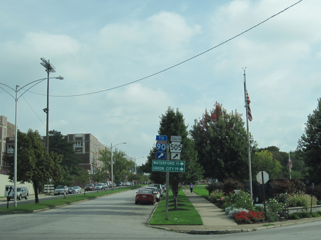
| PA 505 (Glenwood Park Avenue) provides an alternate route south from Erie to PA 97 for Waterford and Union City. 09/30/10 |
|
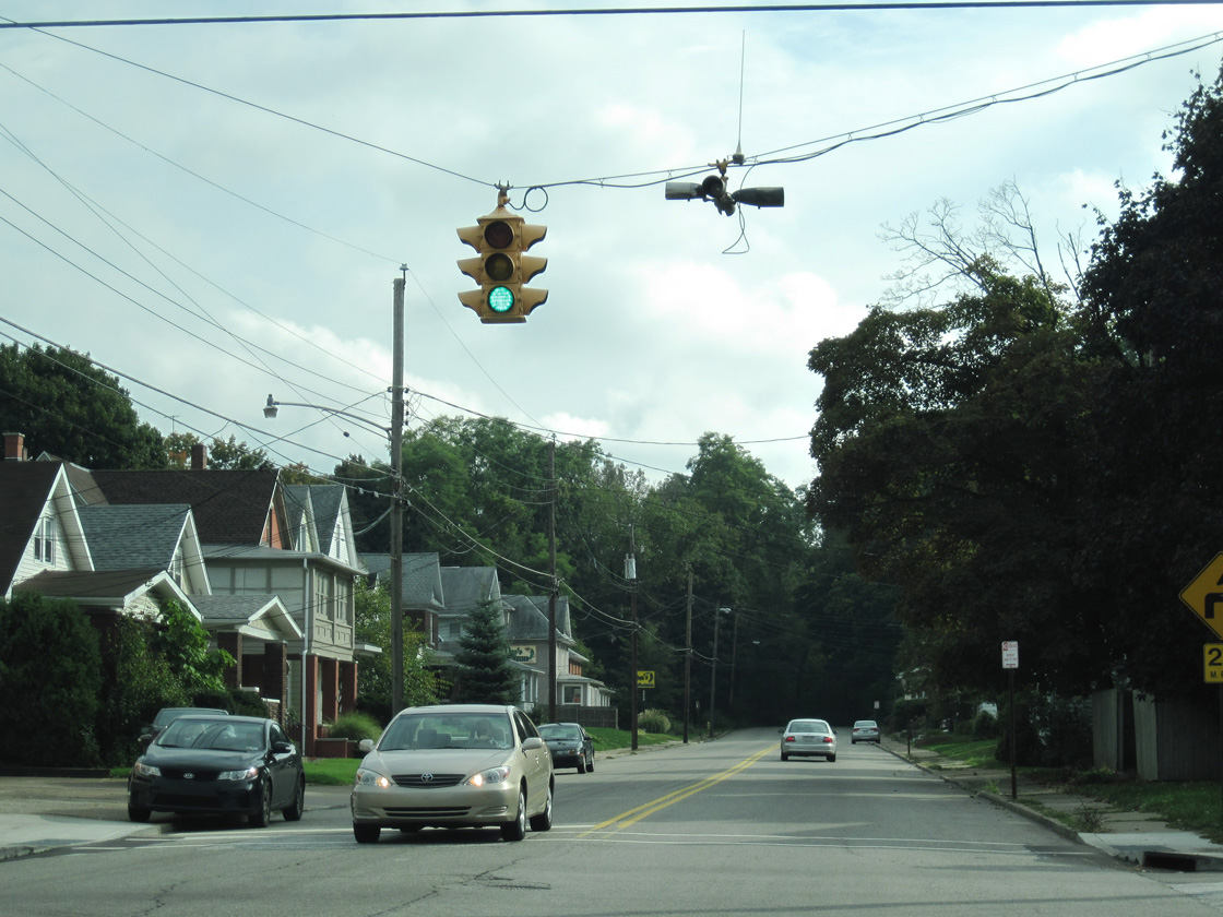
| Vintage four-way traffic light at Glenwood Park Avenue and 30th Street in Erie. 09/30/10 |
Page Updated 01-16-2021.