Rancho California Road winds east from the mountains overlooking Temecula to become a suburban arterial across the city. Heading east into Temecula Wine Country, Rancho California Road eventually narrows to two lanes through an array of vineyards.
|
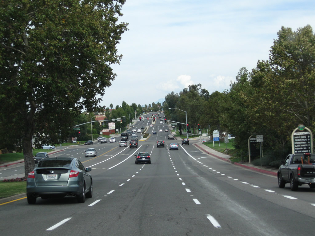
| Leaving a parclo interchange (Exit 59) with Interstate 15, Rancho California Road expands into a six lane arterial with auxiliary turning lanes. 10/02/11 |
|
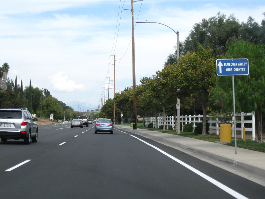
| Trailblazers guide drivers east on Rancho California Road to Temecula Wine Country. As the road proceeds east, the terrain remains mostly residential but will abruptly change upon leaving the city limits. 10/02/11 |
|
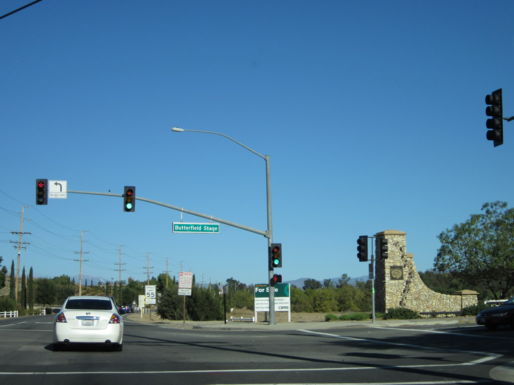
| Rancho California Road leaves the city limits of Temecula at Butterfield Stage Road. East of here, Rancho California Road enters Temecula Wine Country. 11/11/12 |
|
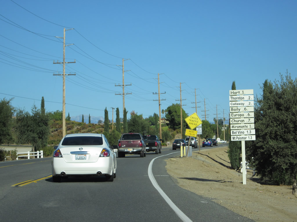
| Distance signs direct motorists along Rancho California Road to the various wineries located along Rancho California Road. 11/11/12 |
|
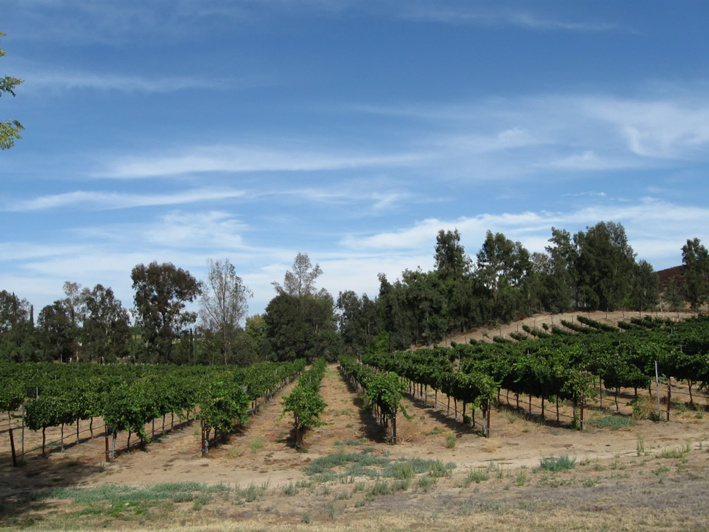
| Vineyards, such as this one near Thornton Winery, line both sides of Rancho California Road. 10/02/11 |
|
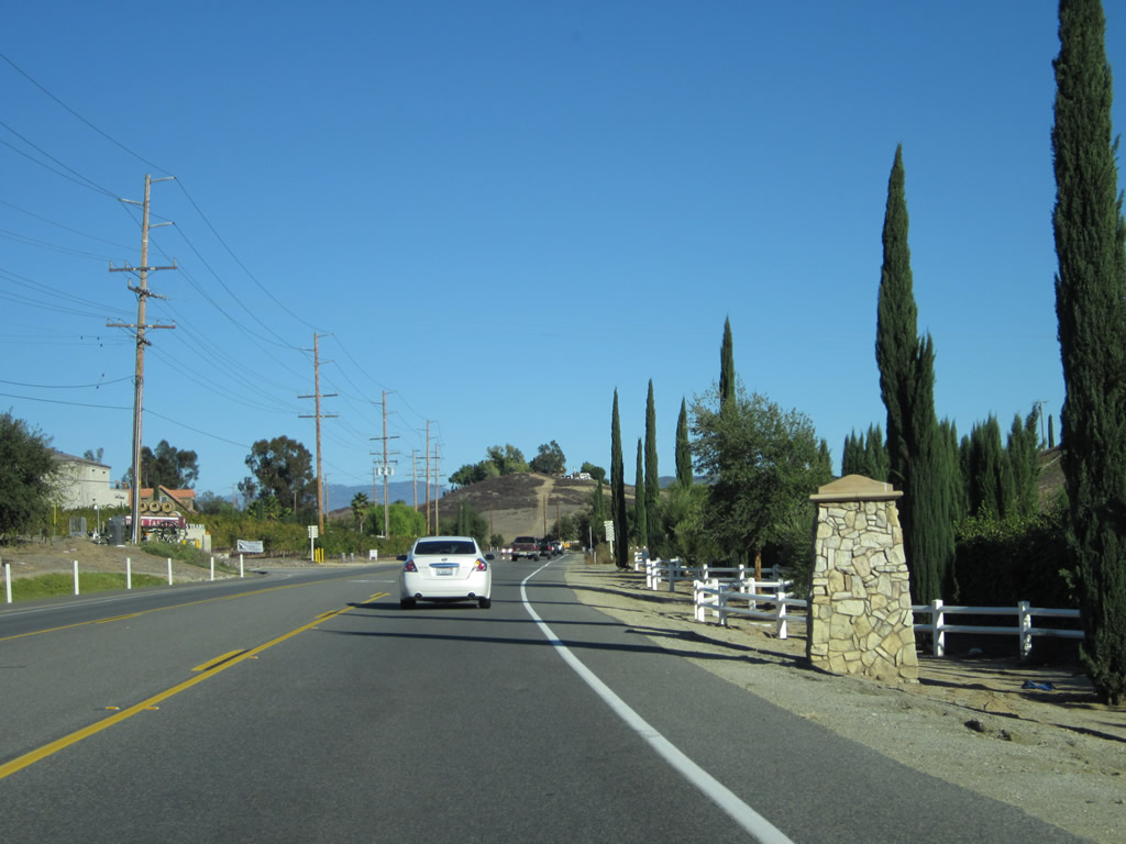
| Stone markers line Rancho California Road through Temecula Wine Country. 11/11/12 |
|
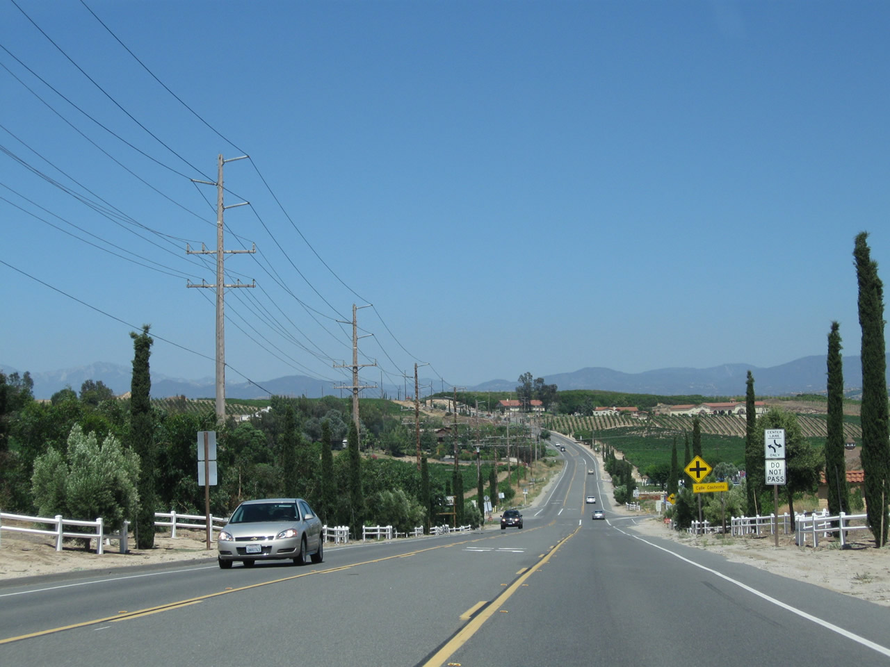
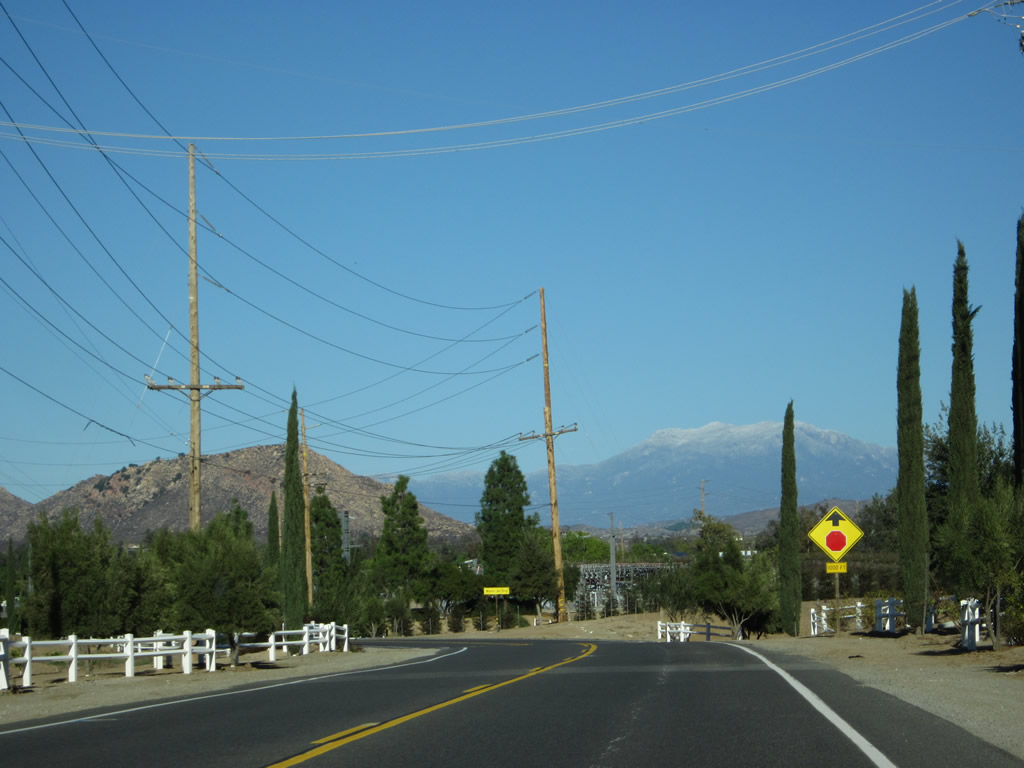
| Lowering into Long Valley along Rancho California Road eat ahead of Calle Contento. 07/17/11 |
|
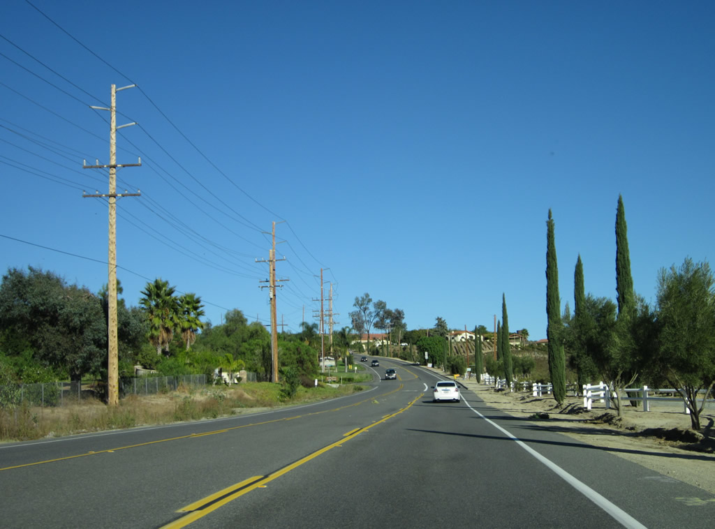
| Rancho California Road bends northward and gains elevation onto Buck Mesa. 11/11/12 |
|
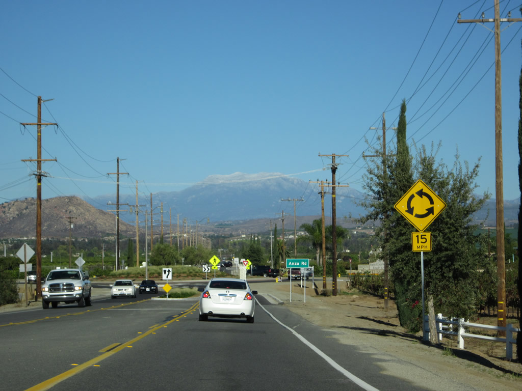
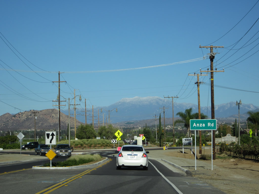
| A roundabout was installed along Rancho California Road at the intersection with Anza Road in 2011-12. 11/11/12 |
|
| Anza Road provides a through road south to SR 79 and north to Buck Road near Skinner Reservoir. 11/11/12 |
|
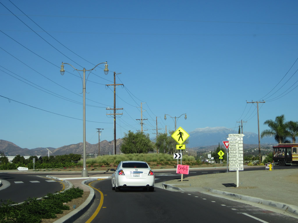
| Another distance sign directs motorists to various wineries located further east along Rancho California Road or along Anza Road. 11/11/12 |
|
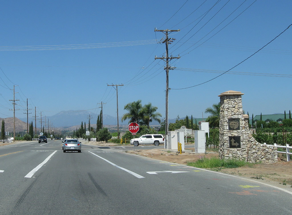
| Looking at the previous four-way stop sign at Rancho California and Anza Roads. 07/17/11 |
|
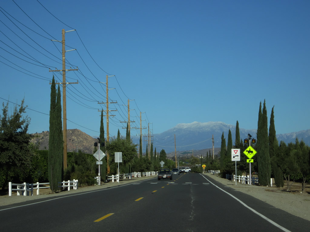
| An equestrian trail lines Rancho California Road through wine country. Mt. San Jacinto rises prominently in the distance. 11/11/12 |
|
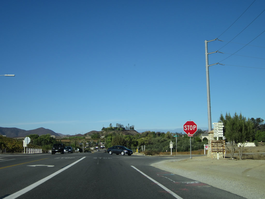
| Eastbound Rancho California Road approaches Monte de Oro after the Ponte and Monte de Oro wineries. 11/11/12 |
|
| Monte de Oro spurs west into the Monte de Oro winery and extends east by the Palumbo winery to De Portola Road. 11/11/12 |
|
| Rancho California Road east approaches the turnoff to Wilson Creek winery. 11/11/12 |
|
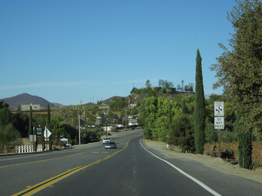
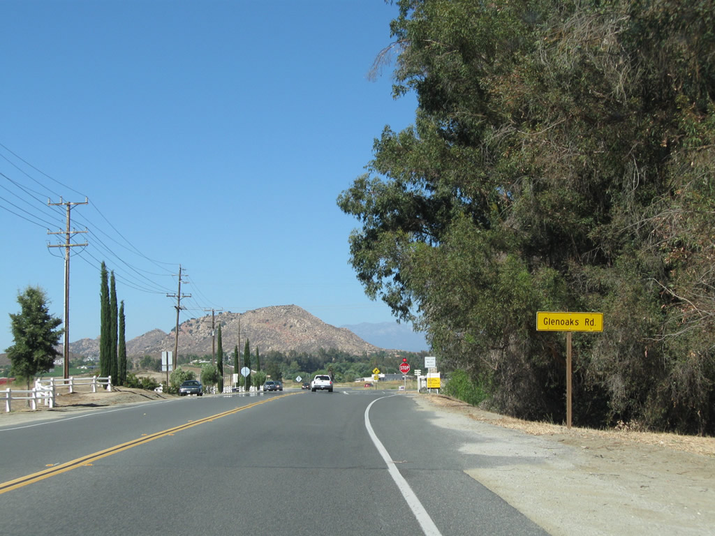
| Deep into wine country at Glen Oaks Road, Rancho California Road proceeds toward the eastern edge of the Temecula Valley. 07/17/11 |
|
| More wineries are located to along Glen Oaks Road leading east and ahead via Rancho California Road to Buck Road. 11/11/12 |
|
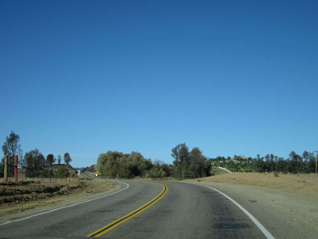
| Rancho California Road changes into Buck Road, which continues into the eastern end of Temecula Wine Country. 11/11/12 |
|
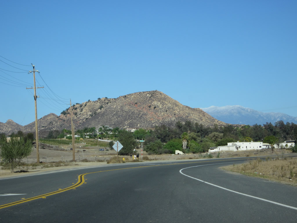
| Buck Road turns north through a mix of ranchland and vineyards toward Benton and Warren Roads. 11/11/12 |
|
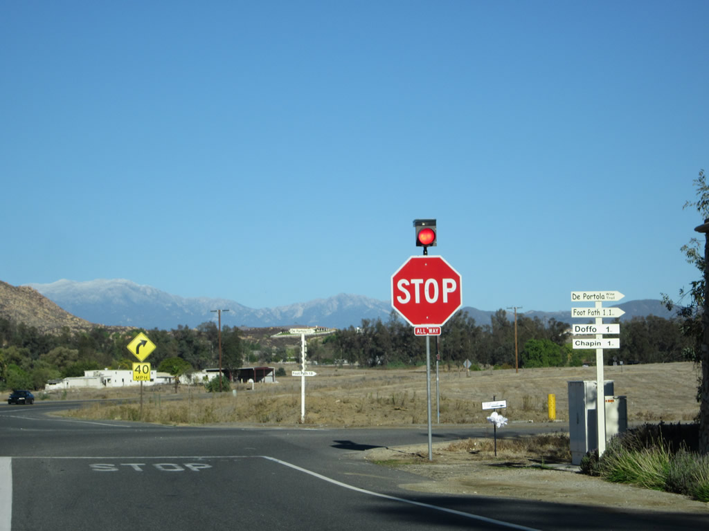
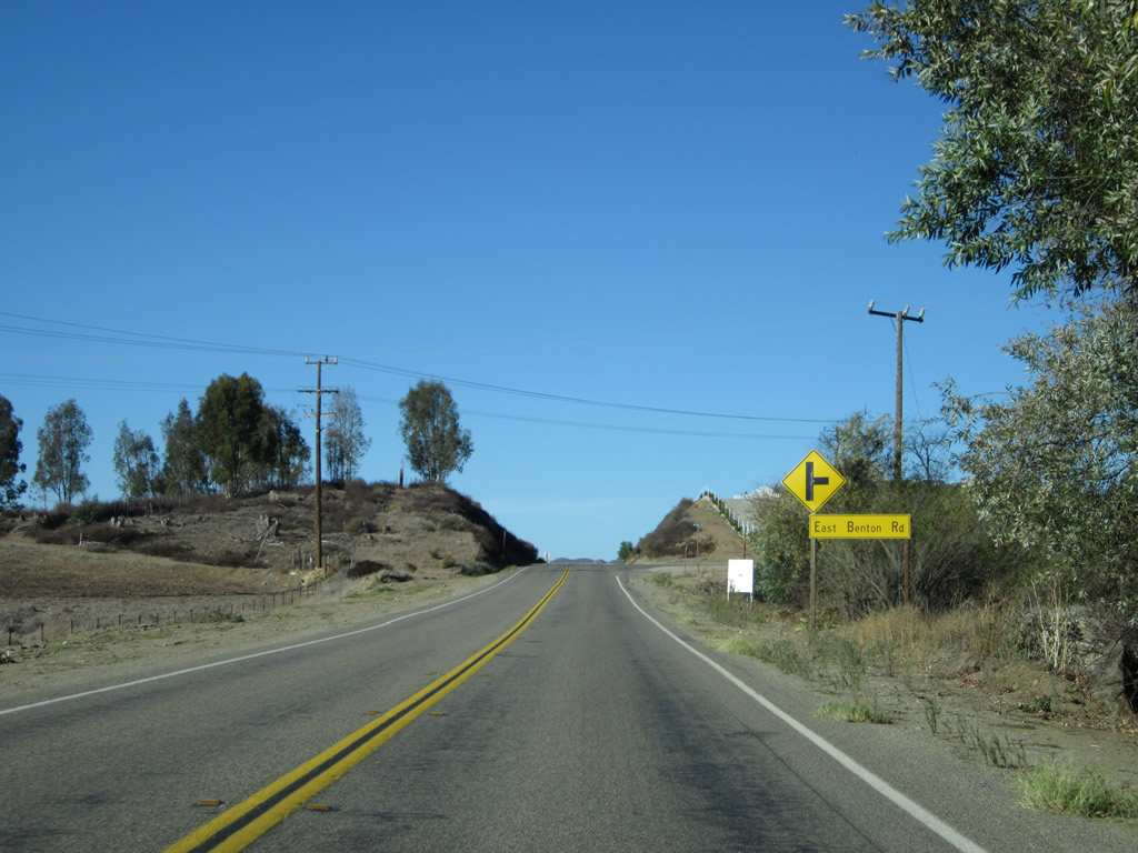
| Buck Road ends at the intersection of East Benton and Warren Roads. 11/11/12 |
|
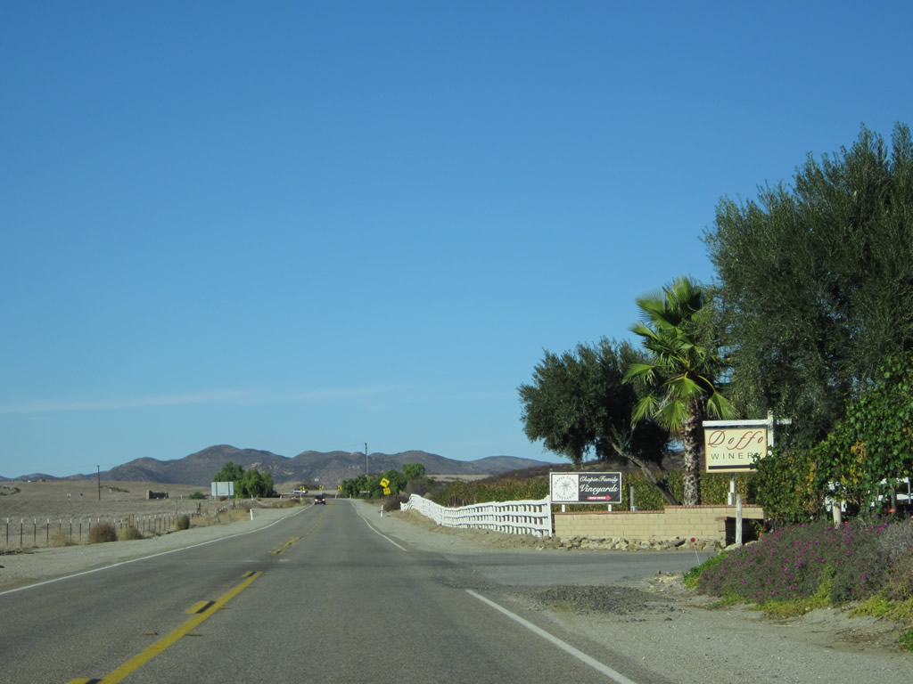
| Warren Road stems due north from Buck Road ahead ofSummitville Street and the Doffo and Chapin Family Vineyards. Beyond here, Warren Road continues to Borel Road west to French Valley, where it branches northward into Lake Skinner County Park, location for the Temecula Valley Balloon and Wine Festival. 11/11/12 |
Page Updated 08-17-2017.