Known as the Huntington Expressway, Rhode Island Route 10 encircles Providence on a five mile freeway between I-95 at Cranston and I-95 by Providence Place. The freeway was first proposed as an Interstate highway, but later built by the Rhode Island Department of Public Works initially between Union and Harris Avenues in 1953 and from Union Avenue south to Route 2 (Reservoir Avenue) by 1960. The extension southward to Route 12 in Cranston followed in 1966, which led to the creation of Route 10.1
Work shifted to the north end and in 1972 the Huntington Expressway was extended from Harris Street to Dean Street. Studies then focused on the link with Interstate 95, which was not settled upon until 1984 with work commencing between 1985 and 1988. Ramps to Memorial Boulevard from the interchange with I-95 and U.S. 6 were the last elements of Route 10 to open when they did in 1993.1
|
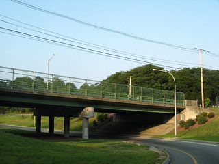
| The ramp from Route 12 (Park Avenue) east curves underneath the form the northbound beginning of Route 10. A grassy area remains from the path of the original southbound R.I. 10 ramp to eastbound R.I. 12 alongside the northbound lane. Sometime between 1995 and 2002, the directional ramp was shifted from that of an off-ramp to Park Avenue east to that of the on-ramp from Park Avenue east. 07/28/07 |
|
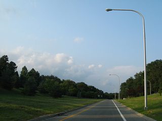
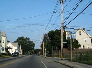
| Drivers see the first northbound shield of Route 10 as the Huntington Expressway curves westward from the periphery of Roger Williams Park toward the Cranston city line. 07/28/07 |
|
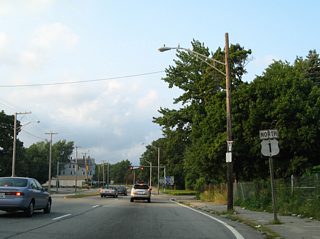
| A parclo interchange joins Route 10 with U.S. 1 north along Elmwood Avenue. U.S. 1 leads north to Elmwood within the city of Providence. 07/28/07 |
|
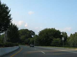
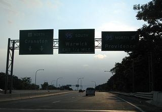
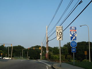
| Route 10 elevates above AMTRAK railroad tracks and quickly reaches the northbound on-ramp to Interstate 95 and downtown Providence. 07/28/07 |
|
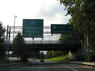
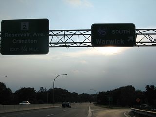
| A loop ramp follows onto Interstate 95 southbound with the control city of nearby Warwick. Route 10 continues 0.75 miles to meet Route 12 (Reservoir Avenue) in Cranston. 07/28/07 |
|
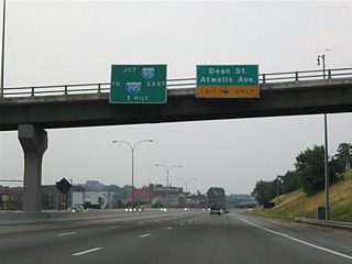
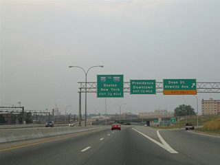
| Attached to the Tobey Street southbound flyover to Route 10 are guide signs for Dean Street/Atwells Avenue parclo interchange and the junction with Interstate 95. 06/25/05 |
|
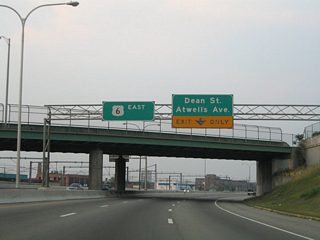
| Atwells Avenue passes over the U.S. 6 & Route 10 freeway ahead of the Dean Street exit. Atwells Avenue splits from Manton Avenue in Dyerville en route to downtown Providence. The surface boulevard ends at U.S. 1 (Sabin Street) adjacent to the Dunkin Donuts Center. 06/25/05 |
|
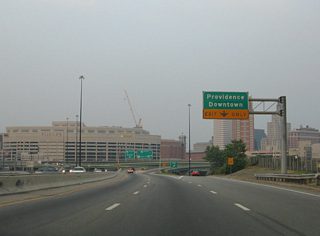
| Eastbound at the Dean Street off-ramp on U.S. 6 & Route 10. The freeway prepares to split into three ramps: Interstate 95 north to Boston, Interstate 95 south to New York & Interstate 195 east to Fall River, and Memorial Boulevard east to U.S. 1, U.S. 44, and downtown Providence. 06/25/05 |
|
| The Memorial Boulevard eastbound off-ramp departs U.S. 6 east & Route 10 north. Memorial Boulevard spurs east from the directional interchange between the two freeways to U.S. 1 (Francis Street) and U.S. 44 (Canal and Steeple Streets). Memorial Boulevard follows the downtown waterfront to Dyer Street. 06/25/05 |
|
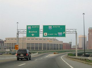
| The massive Providence Place mall rises in the background as the Route 10 freeway partitions into ramps for Interstate 95 north and Interstate 95 south & U.S. 6 east. Interstate 95 northbound next splits with the Route 146 freeway (Exit 23) for interests to Boston or Worcester, Massachusetts. 06/25/05 |
|
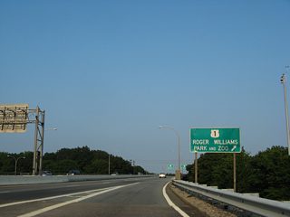
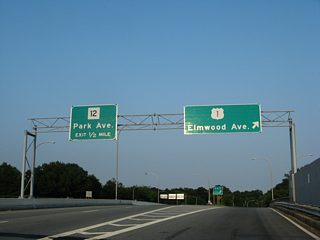
| Posted within the exchange at Interstate 95 is a guide sign directing drivers bound for Roger Williams Park and Zoo onto the forthcoming off-ramp to U.S. 1 (Elmwood Avenue). The Zoo lies east of U.S. 1 and south of I-95 nearby. 07/28/07 |
|
| Route 10 spans an AMTRAK railroad line and splits with the Elmwood Avenue off-ramp to U.S. 1. One half mile of freeway otherwise winds southward to Route 12 (Park Avenue). 07/28/07 |
|
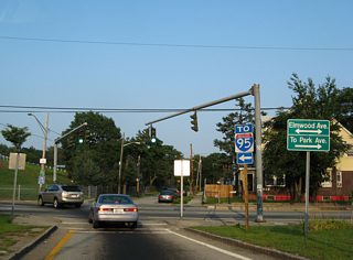
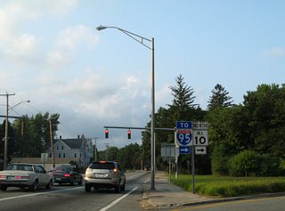
| An Interstate 95 trailblazer stands at ramp end with U.S. 1 (Elmwood Avenue). U.S. 1 travels eight blocks south to Park Avenue near the community of Auburn. 07/28/07 |
|
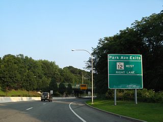
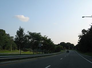
| Curving southward alongside Roger Williams Park, Route 10 prepares to meet Route 12. Originally there were separate ramps for Park Avenue west and eastbound, but those movements were consolidated between 1995 and 2002 into a single ramp. 07/28/07 |
|
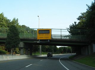
| 1,000 feet north of the Huntington Expressway end at Route 12. A 1959 highway plan included a southward extension of the freeway six miles utilizing the corridor of Route 117 (Warwick Avenue) and Oakland Beach Avenue (Route 117A). Work was slated to begin in 1965, but the project never broke ground.1 07/28/07 |
|
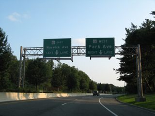
| A sign bridge partitions the ending Route 10 into turn lanes for Route 12 (Park Avenue). Route 12 constitutes a 17.1 mile overall route between R.I. 102 at Rockland and Broad Street in Cranston. 07/28/07 |
|
| Traffic shifts from the freeway mainline onto the exit ramp for Park Avenue. A grassy area remains from the former direct ramp to Route 12 east that was removed and replaced with a direct ramp from Park Avenue east to Route 10 north. 07/28/07 |
|
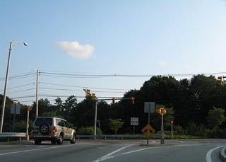
| Route 10 ends at the signalized ramp end with Route 12. Park Avenue ventures west to the Cranston city center and east to Roger Williams Park and Edgewood. 07/28/07 |
|
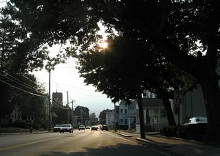
| Leaving the interchange with Route 10 (Huntington Expressway), Route 12 (Park Avenue) westbound proceeds to intersect U.S. 1 (Elmwood Avenue). 07/28/07 |
|
| Route 12 (Park Avenue) travels two blocks from U.S. 1 (Elmwood Avenue) to meet Route 10 (Huntington Expressway). 07/28/07 |
|
| Route 10 arcs northwest three quarters of a mile from Park Avenue to meet Interstate 95 in south Providence. 07/28/07 |
|
| U.S. 1 (Elmwood Avenue) north between the McKinley Street off-ramp and the Route 10 (Huntington Expressway) entrance ramp. 07/28/07 |
|
| Route 10 connects with Interstate 95 to the immediate west of U.S. 1. The Huntington Expressway continues northwest from there to the Olneyville section of Providence where it joins U.S. 6 east. 07/28/07 |
Page Updated 08-15-2012.
 North
North East
East  North
North
