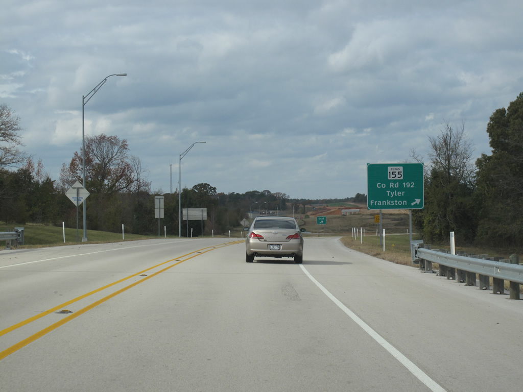
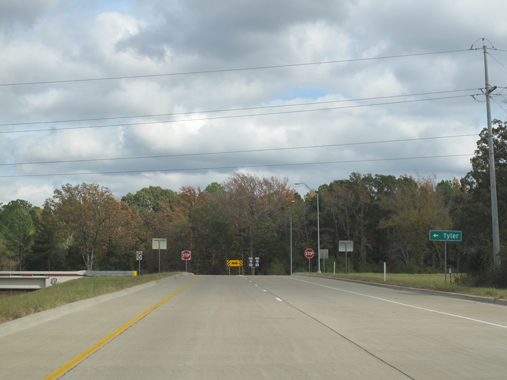
Planned as a full loop around Tyler to Interstate 20 at the Gregg County line (Segment 6), currently Loop 49 travels 26.3 miles from Interstate 20, south of Lindale, to Texas 110, southeast of Tyler. The completed portion of Loop 49 was built in five phases, with the first (Segment 1) between Texas 155 (Frankston Highway) and US 69 opened on August 17, 2006, the second (Segment 2) to FM 756 on January 7, 20081 and third (Segment 5) between Paluxy Drive (FM 756) and SH 110 on June 25, 2012.3
Work continued through November 9, 2012 at a cost of $38 million to extend Loop 49 northwest to Texas 31 (Segment 3A). Part of Segment 3A was funded by the American Recovery and Reinvestment Act (ARRA) in March 2009.4 Work on Segment 3B, a 10.2 mile segment from SH 31 north to Interstate 20, commenced on January 21, 20112 and was completed on March 28, 2013.
Future projects involving Loop 49 include the Lindale Relief Route (Segment 4), a 6.7 mile extension of Toll 49 north to U.S. 69 around the west side of Lindale, and the East Texas Hourglass (Segments 6,7,8,8A), a planned route northeast across IH 20 to a bypass of Longview and an end at U.S. 59 north of Marshall. Segment 4 is currently in environmental study while the East Texas Hourglass remains in conceptual planning.4
Another detailed web site covering future road work on Loop 49 can be found at the Tyler, Texas visitor information web site.
The western segment of Texas Loop 49 was transferred from the state system to the North East Texas Regional Mobility Authority on May 9, 2013.
|
| This view looks northbound along FM 756 at the eastern end of Loop 49. The eastern extension from this point, known as segment 5, will be constructed from 2010 to 2012. 11/21/10 |
|
| Traffic entering Loop 49 from the east will see a reassurance marker on the ramp. On-ramps for the road generally begin as two lanes and go down to one lane through the automated toll platform. 11/21/10 |
|
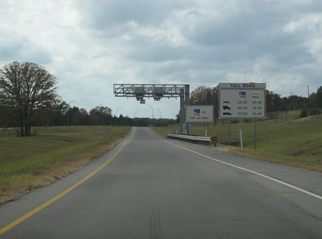
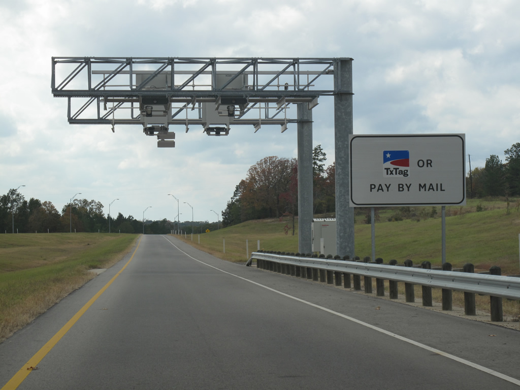
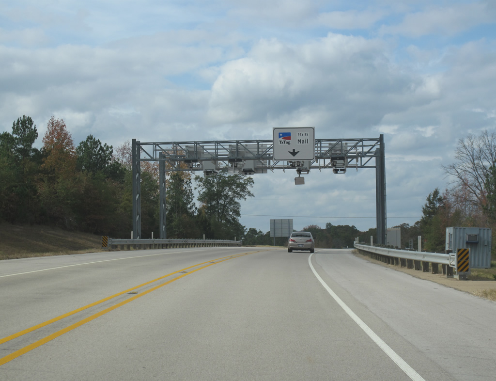
| This view looks west at a typical automated toll gantry for Loop 49. Drivers can either pay with a pre-purchased TxTag or get a bill in the mail at a later date. 11/21/10 |
|
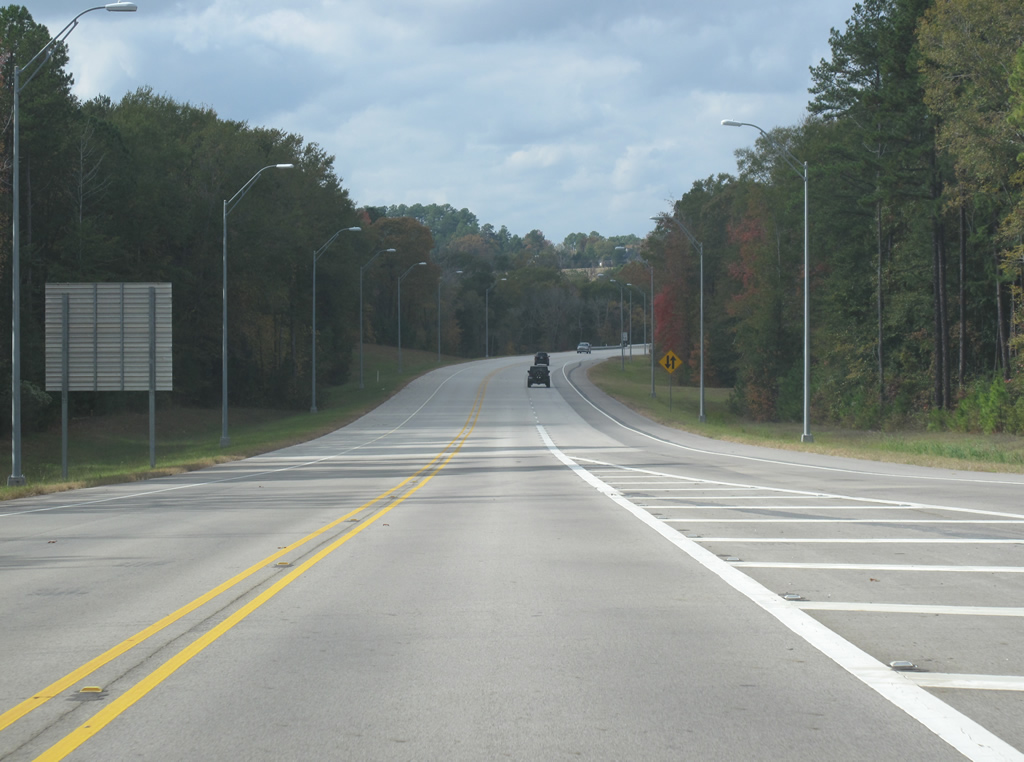
| Loop 49 runs along the south side of Tyler and in its incomplete state connects no two points of interest. Thus, traffic on the road is very low. The entire route is two lanes, but can be upgraded in the future. 11/21/10 |
|
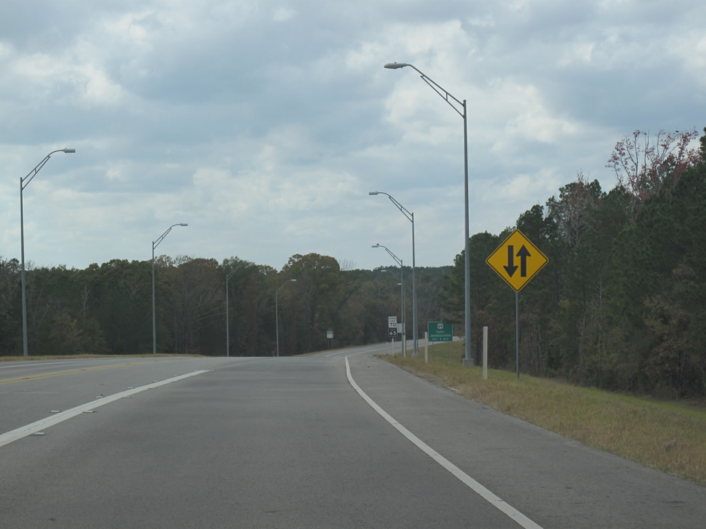
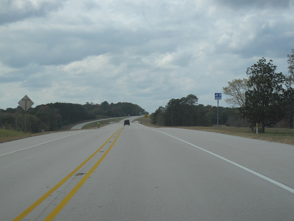
| The speed limit for the two lane road is 70 mph. There are no grade crossings, lights, stop signs, or driveways along its length. 11/21/10 |
|
| Loop 49 westbound before the US 69 exit. 11/21/10 |
|
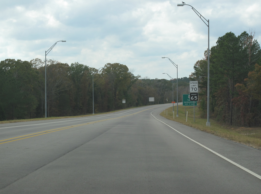
| More advance signage for US 69. 11/21/10 |
|
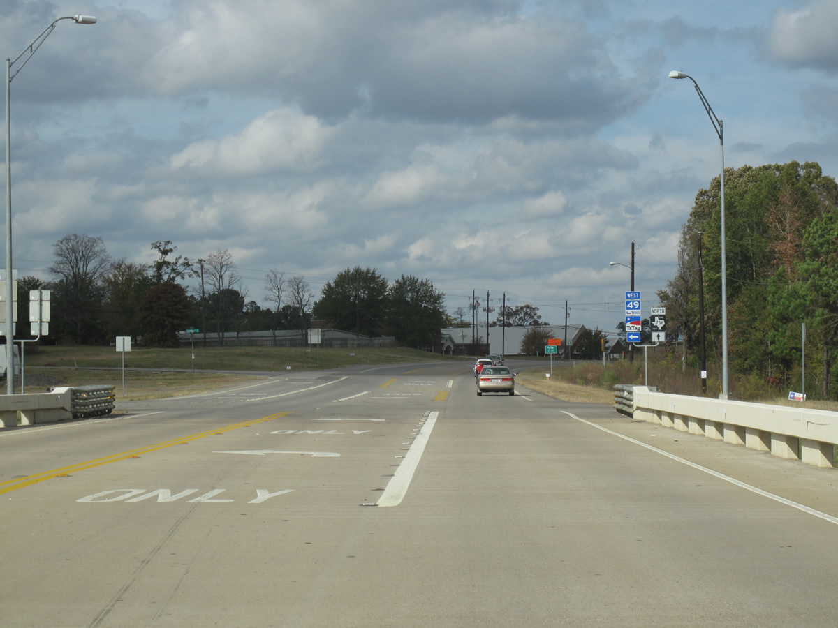
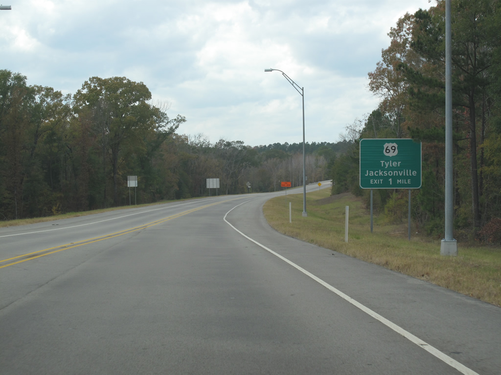
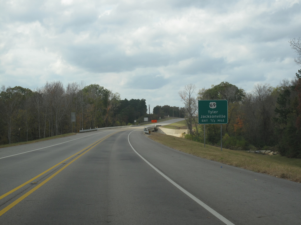
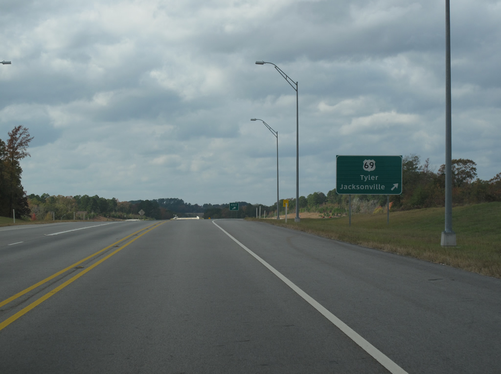
| Loop 49's most important junction comes at US 69 south of Tyler. The section of roadway between US 69 and FM 756 opened in January 2008. 11/21/10 |
|
| Most trailblazers are located on ramps, however here is a westbound route marker at US 69. 11/21/10 |
|
| Loop 49 heads over US 69 westbound. The section west from this point to SH 155 was the first to open in August 2006. 11/21/10 |
|
| A general view of Loop 49 westbound in Tyler. 11/21/10 |
|
| Loop 49's signage is more rural than urban in nature. There are many sprawling subdivisions off to either side of the route, and its possible the nature of the road will change in the near future to better serve the spread-out population. 11/21/10 |
|
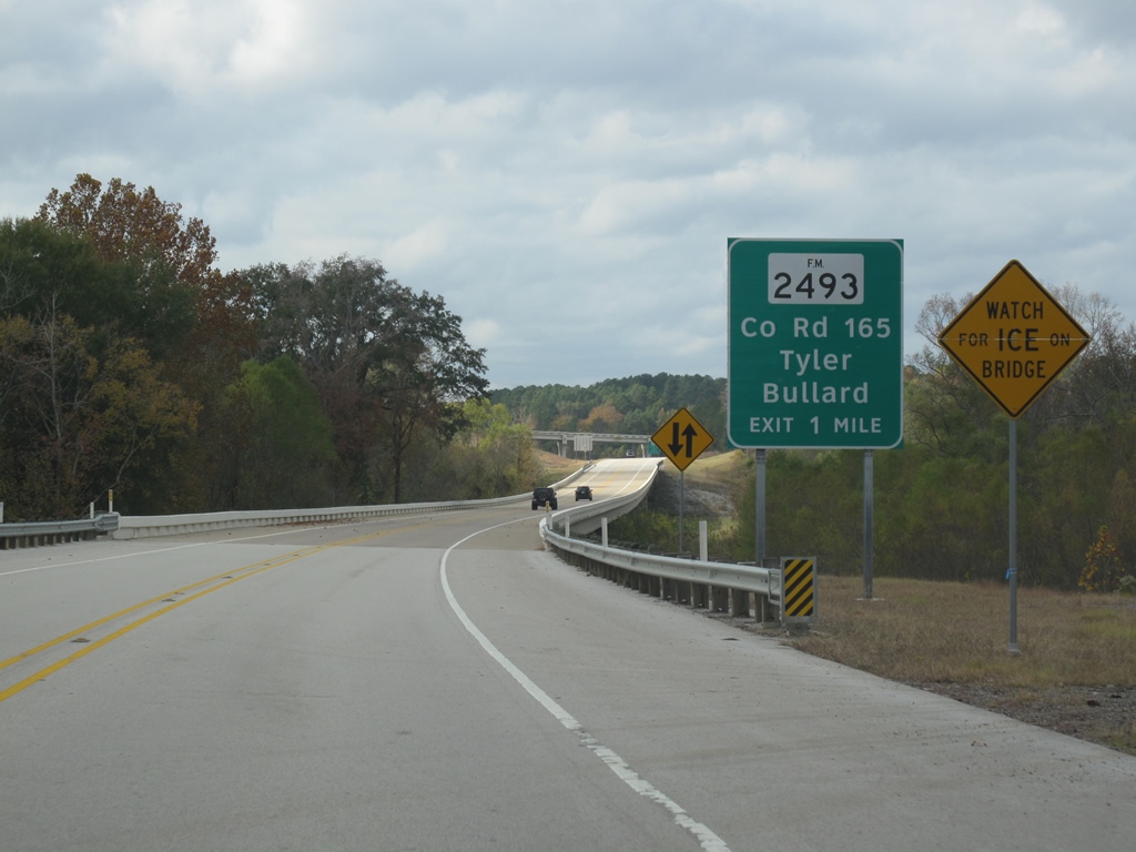
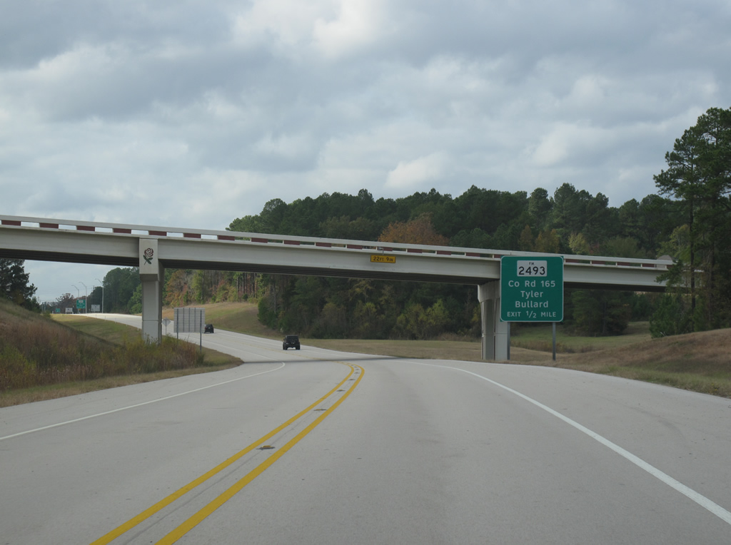
| FM 2493 is the next exit along the route. Overpasses are stylized with rose icons to reflect Tyler's notability as a rose gardening center. 11/21/10 |
|
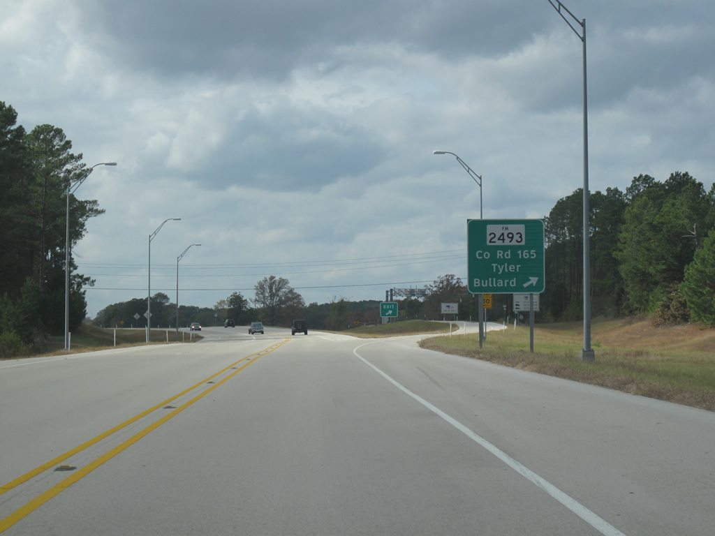
| Loop 49 westbound at FM 2493. 11/21/10 |
|
| A westbound trailblazer just west of FM 2493. Loop 49 should not be confused with SH 49, a different road in the same region of the state. The route marker doesn't indicate the word "Loop". 11/21/10 |
|
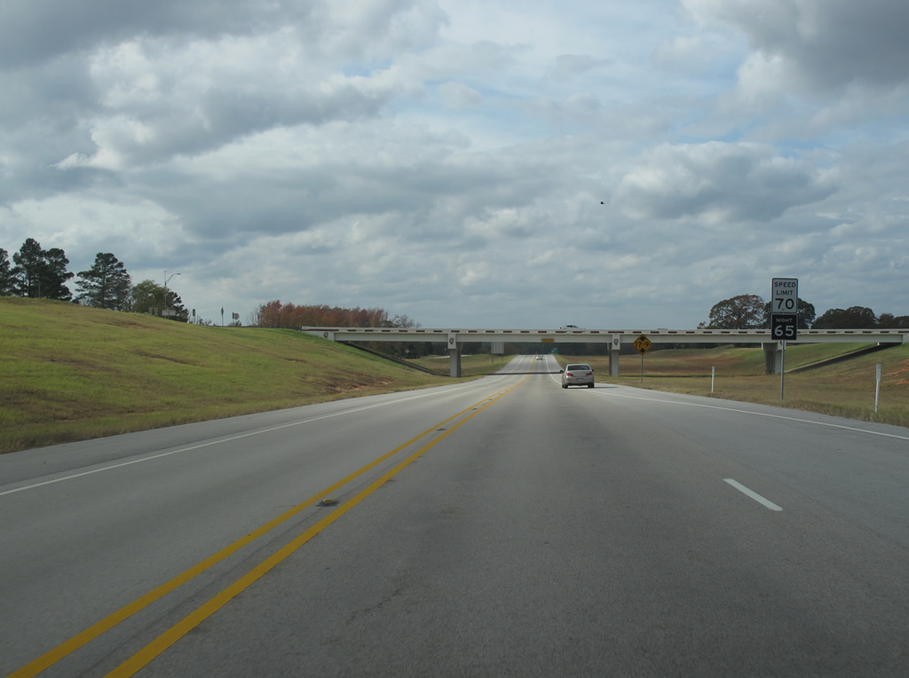
| Loop 49 keeps a 70 mph speed limit, typical of a two lane rural road in Texas. The ROW is sufficient to double the lanes in the future. 11/21/10 |
|
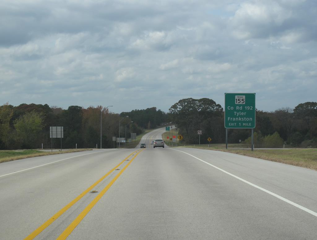
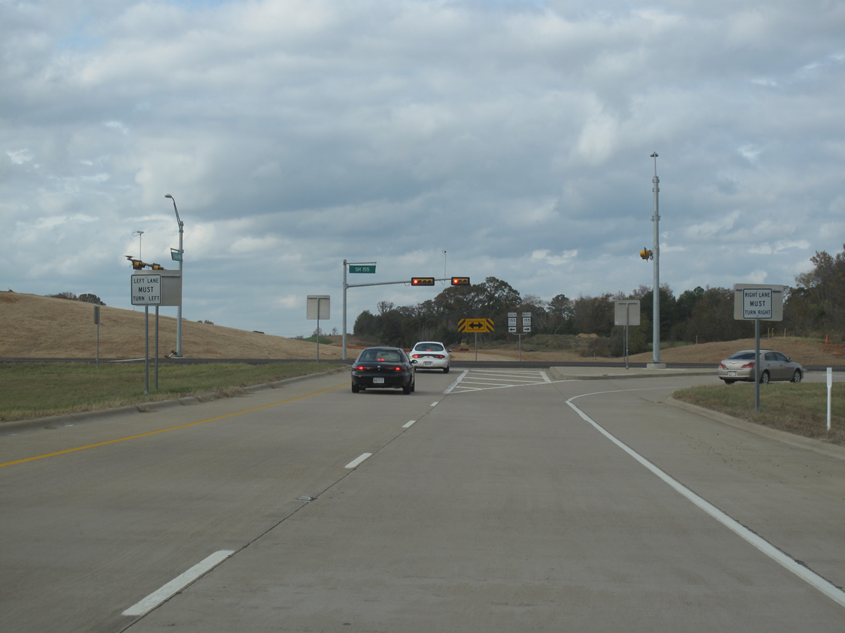
| The temporary western end of Loop 49 comes at SH 155 on the southwest side of Tyler. 11/21/10 |
|
| Tyler is the control point for all of the exits along Loop 49, making it a bit repetitive. In the future, more urban style signage may be implemented. 11/21/10 |
|
| These views look westbound at the western mainline toll gantry for Loop 49. 11/21/10 |
|
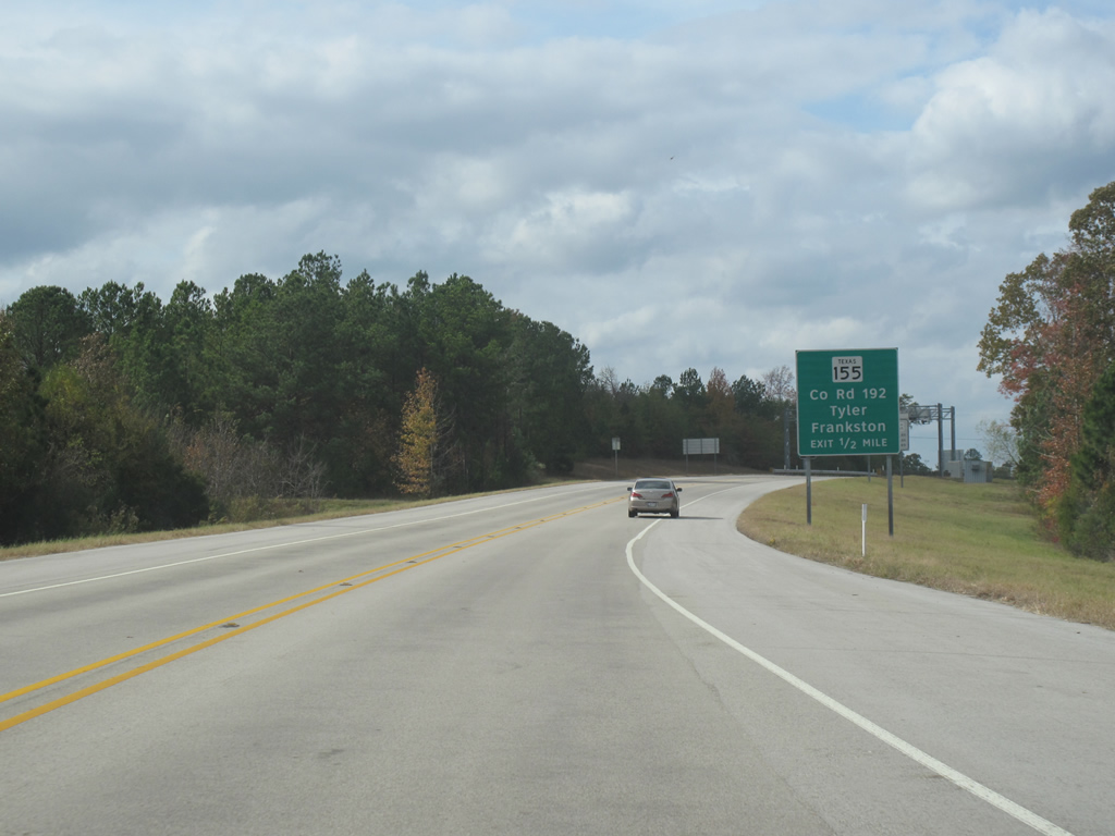
| All traffic must exit at SH 155. There are no signs to indicate this nor end signs for the route number. 11/21/10 |
|
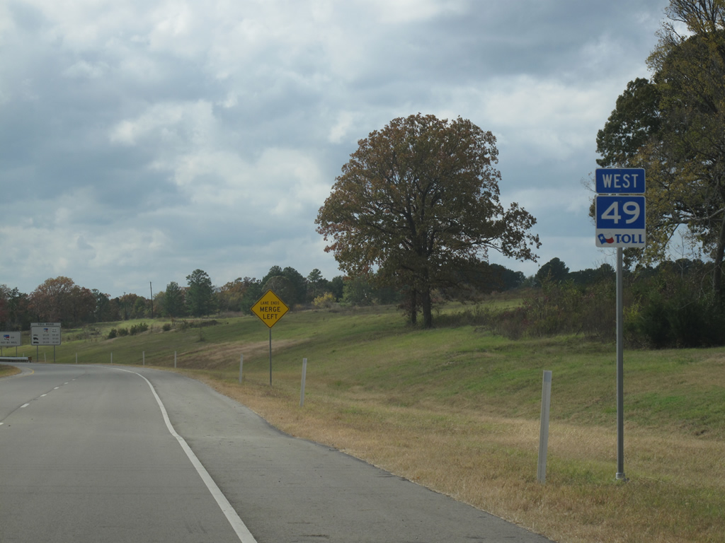
| Loop 49 is being extended northward to IH 20 as a westbound bypass loop of Tyler. When these pictures were taken the road was being extended almost 10 miles to the north as part of Segment 3A. 11/21/10 |
|
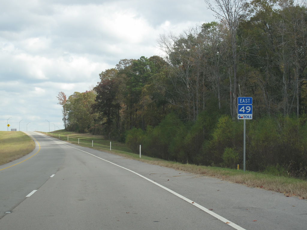
| Reassurance marker posted for Texas Toll 49 along the on-ramp from U.S. 69 (Broadway Avenue) onto the eastbound toll road. 11/21/10 |
|
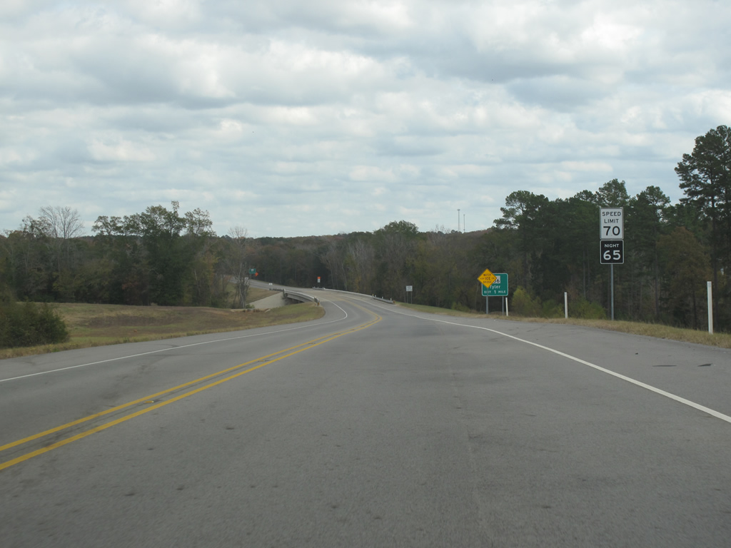
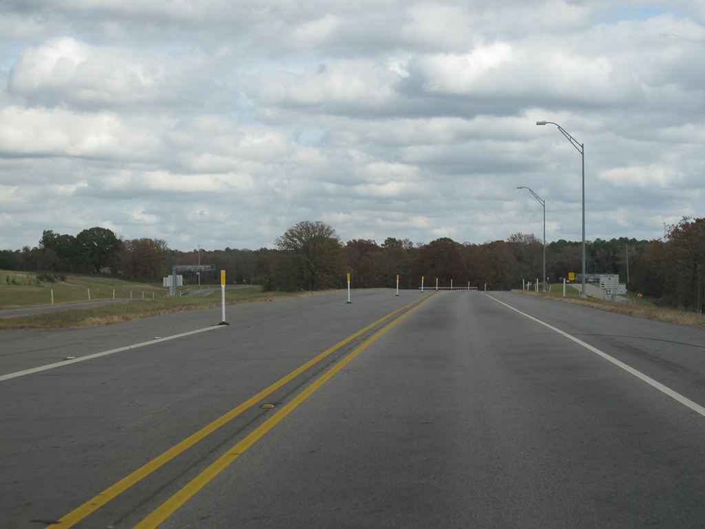
| Speed limits are set at 70 miles per hour, indicative of the rural nature of the two lane toll road. Forthcoming is the crossing over Shackleford Creek. 11/21/10 |
|
| One mile west of the current half diamond interchange with FM 756 (Paluxy Drive) along Loop 49 east. 11/21/10 |
|
| FM 756 was reclassified as UR 756 in 1995 along a 6.27 mile stretch from Loop 323 (Southeaster Loop) in Tyler to FM 346, west of Whitehouse. The remaining 3.42 mile stetch from FM 346 to FM 344 at Walnut Grove remains a farm to market road. 11/21/10 |
|
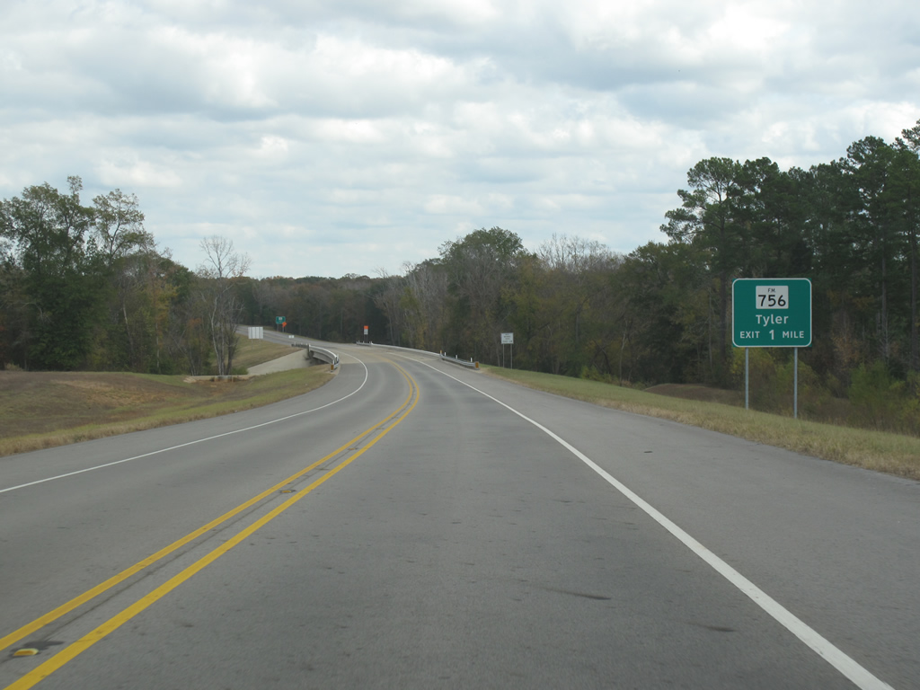
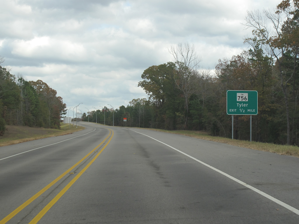
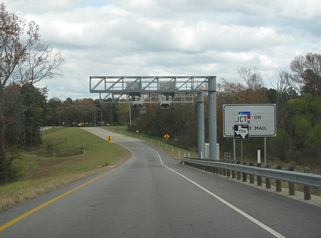
| All traffic was routed onto the FM 756 (Paluxy Drive) off-ramp from the east end of Loop 49 until June 25, 2012. Construction of Segment 5, extending Texas Toll 49 east 2.5 miles to Texas 110, opened on that date. 11/21/10 |
|
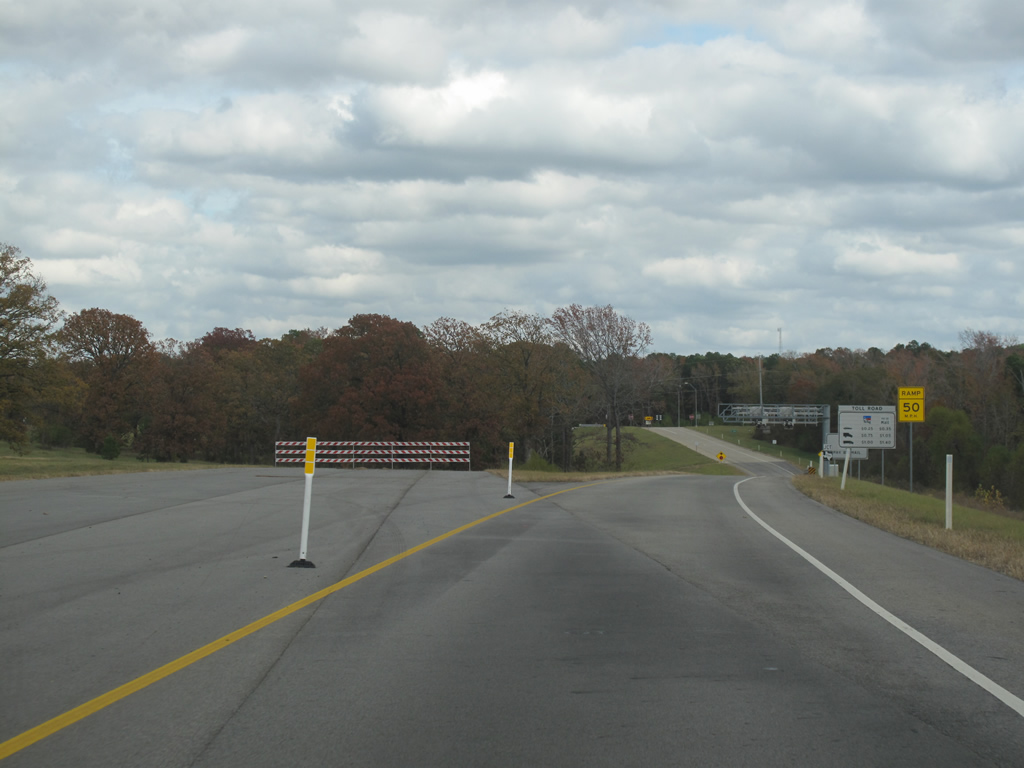
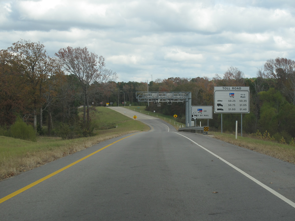
| Approaching the automated toll gantry along the Farm to Market Road 756 off-ramp. Tolls may be paid with a TXTag prepaid toll account or users may be billed by mail instead. 11/21/10 |
|
| FM 756 (Paluxy Drive) immediately enters the city limits of Tyler beyond the diamond interchange with Loop 49. Downtown is still nine miles away however. 11/21/10 |
Photo Credits:11/21/10 by Justin Cozart
Connect with:
Interstate 20
Page Updated 07-22-2013.