|
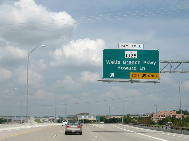
| Toll 1 continues from the north end of the MoPac Expressway at FM 734 (Parmer Lane) to Howard Lane. The forthcoming off-ramp represents the last opportunity to merge onto the adjacent FM 1325 (Barnet Road) frontage road before the FM Road branches toward the northeast. This segment of Toll 1 replaced part of the original Barnet Road. 09/28/07 |
|
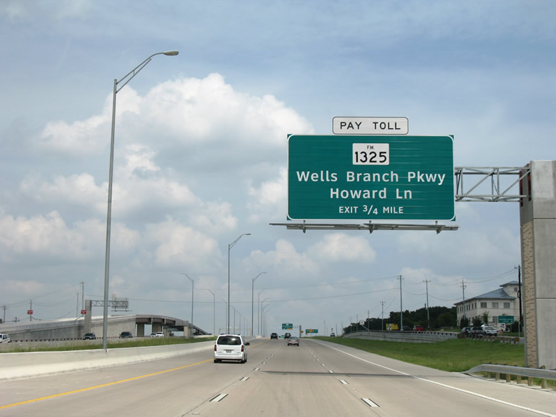
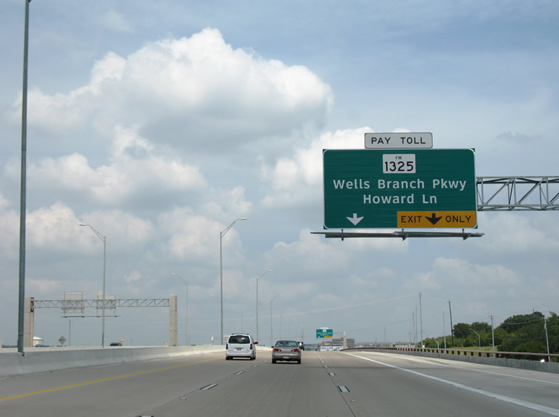
| The FM 1325 off-ramp serves not only Burnet Road northeast of Toll 1, but also Howard Lane and Wells Branch Parkway. Howard Lane travels southeast to Interstate 35 and Dessau, and northwest to McNeil. 09/28/07 |
|
| A two lane off-ramp departs Toll 1 northbound onto the adjacent FM 1325 (Burnet Road). Burnet Road intersects Howard Lane near its split with Wells Branch Parkway east. Wells Branch Parkway meanders eastward through Wells Branch to IH 35 at FM 1825 in Three Points. 09/28/07 |
|
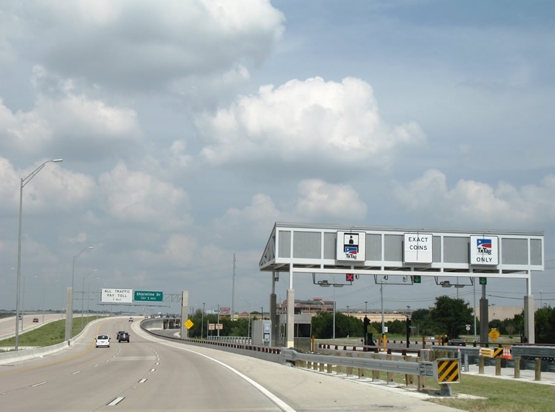
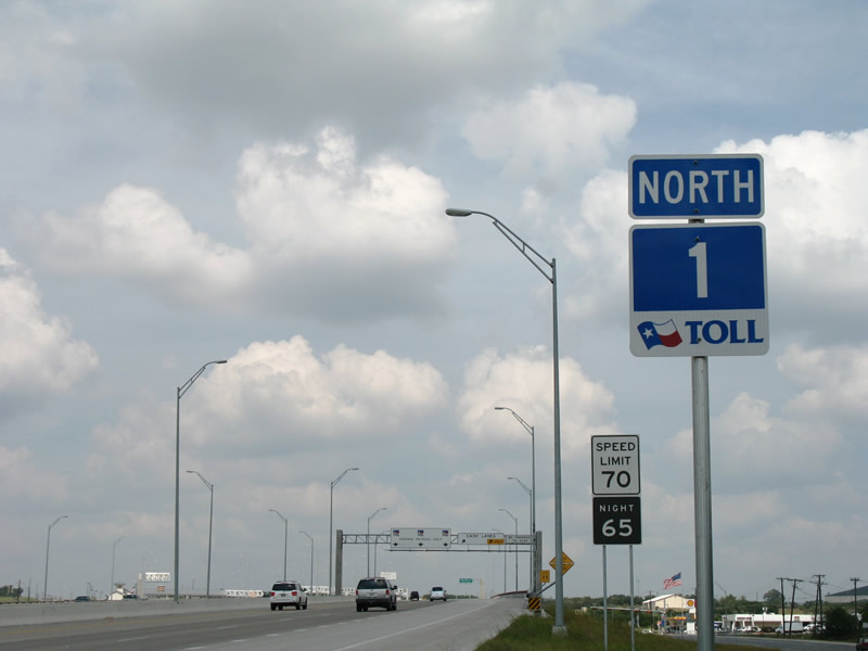
| Toll 1 utilizes all electronic toll (AET) collection through the TXTag system. Cash collection was discontinued along Austin metro area toll roads on January 1, 2013. 09/28/07 |
|
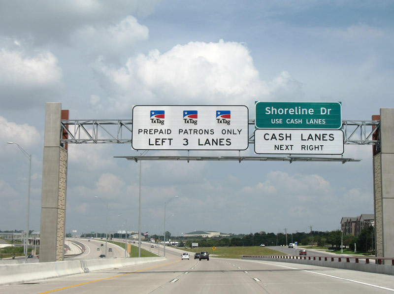
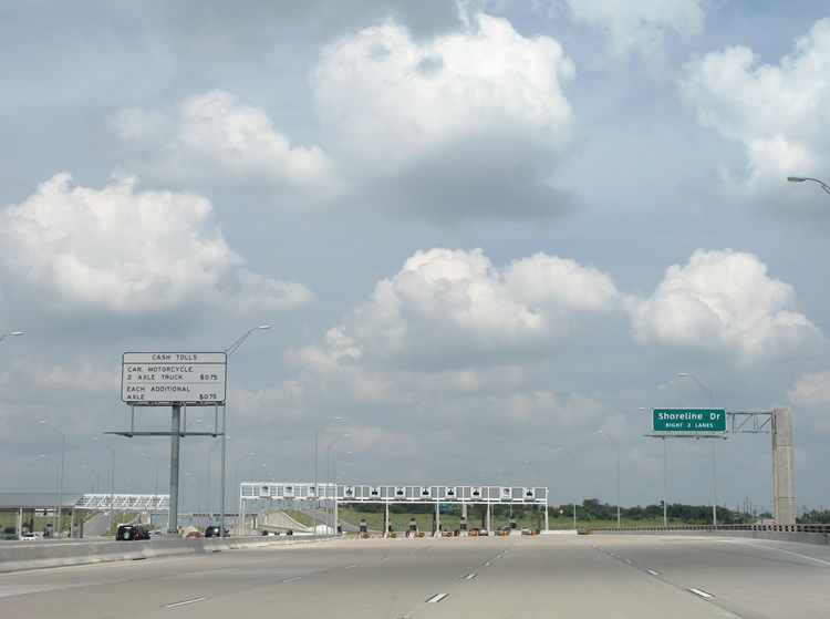
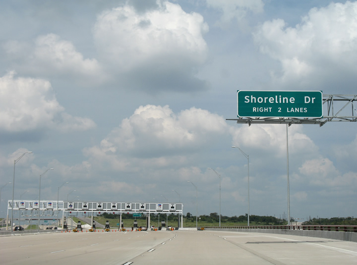
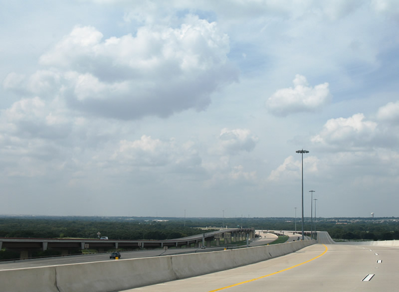
| Toll 1 ascends over Howard Lane on the one mile approach to Shoreline Drive and the main toll collection point. Shoreline Drive constitutes a suburban road leading west from Bratton Lane to FM 1325 (Burton Road). Shoreline Drive was extended west to meet Toll 1 at the Williamson County line. 09/28/07 |
|
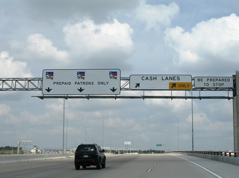
| Toll 1 northbound veers away from Burnet Road into the mainline toll plaza. Drivers headed to the Shoreline Drive off-ramp are directed through the shuttered toll plaza through a single TxTag lane. 09/28/07 |
|
| Toll 1 confirming marker posted by the McNeil-Merrilltown Road underpass. 09/28/07 |
|
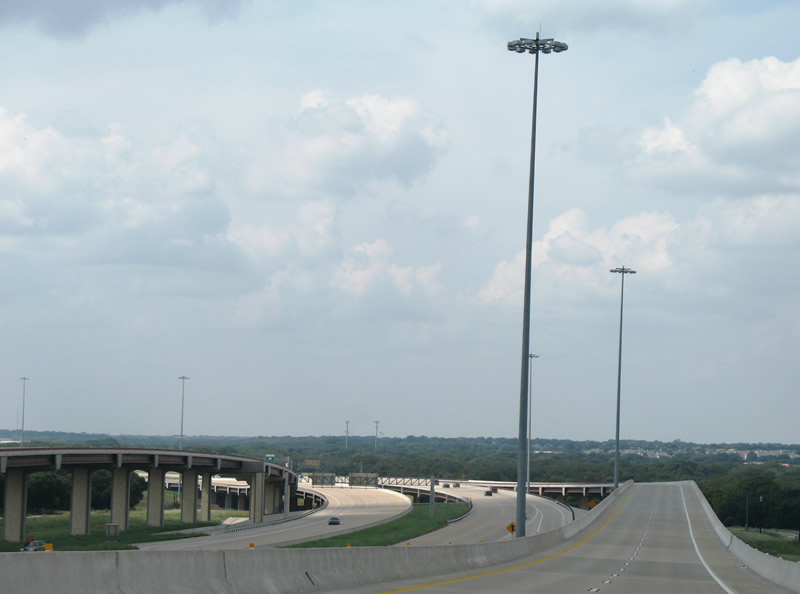
| Northbound at the former cash lane split for the Toll 1 main line toll plaza. The ramp to the right remains open for Shoreline Drive while barricades were added at all but one of the toll booth lanes. 09/28/07 |
|
| Toll 1 north enters Williamson County beyond the Shoreline Drive. Shoreline Drive ends at Martin Hill Reservoir on the west side of the toll road. 09/28/07 |
|
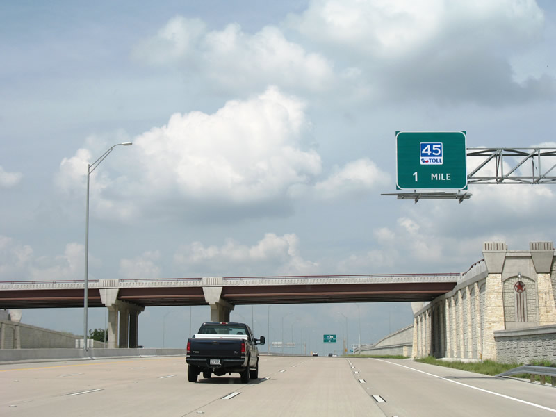
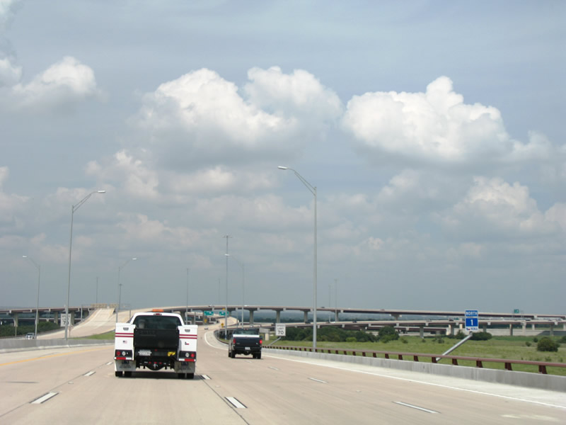
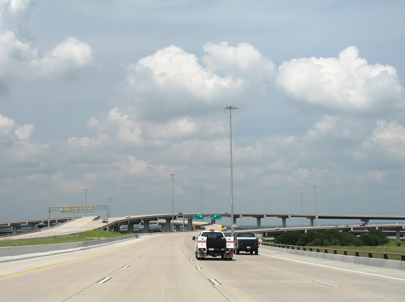
| Toll 1 ends one mile ahead at a stack interchange with Toll 45 N, an east-west route between U.S. 183 / Toll 183A and SH 130. 09/28/07 |
|
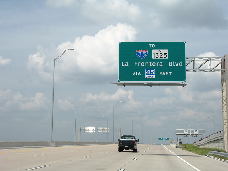
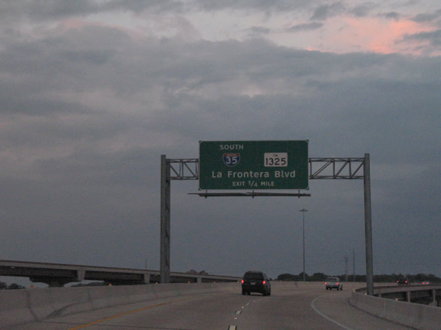
| Toll 45 N east provides connections with FM 1325 (La Frontera Boulevard) and Interstate 35. FM 1325 ends at the Toll 45 N frontage road system; La Frontera Boulevard continues north from there into Round Rock. 09/28/07 |
|
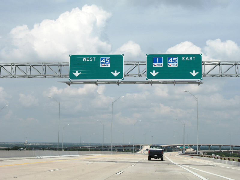
| Toll 1 partitions into a pair of two lane flyover ramps to Toll 45 N. Toll 45 N provides a northern bypass route of Austin from U.S. 183 eastward to SH 130. The right side panel should not include a Toll 1 shield as the highway ends at this interchange. 09/28/07 |
|
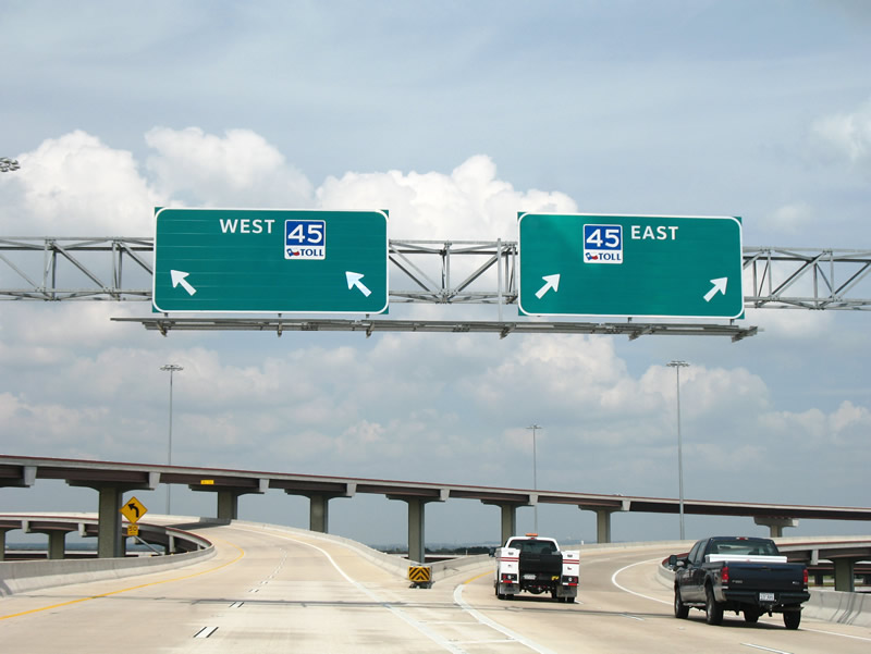
| The final Toll 1 shield stands ahead of the three-wye interchange with Toll 45 N. Ramps are elevated due to the adjacent Union Pacific Railroad to the west. 09/28/07 |
|
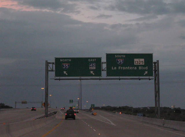
| Toll 1 ends as traffic splits for Toll 45 N. Toll 45 N east meets La Frontera Boulevard and Interstate 35 within two miles. Westward, the next interchange along the toll road is with RM 620 near the sprawling Brushy Creek subdivisions. 09/28/07 |
|
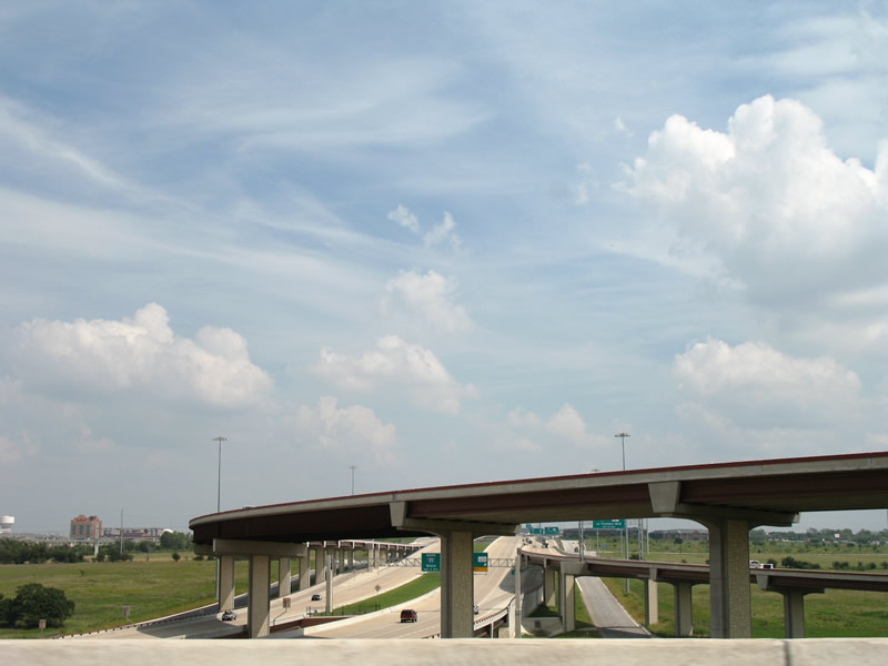
| Easterly view of the Toll 45 N freeway and associated frontage roads. 09/28/07 |
|
| Ramps from and to Toll 45 N west of Toll 1 soar above the Union Pacific Railroad and parallel McNeil Road. 09/28/07 |
|
| Following the transition ramp to Toll 45 N eastbound, motorists again partition into ramps for La Frontera Boulevard (FM 1325) and the toll road mainline. The FM 1325 ramp takes drivers onto the parallel frontage road. 09/29/07 |
|
| Since there is no direct ramp from Toll 45 N east onto Interstate 35 south, travelers must use the respective frontage road systems of each freeway to make the Breezewood style connection. 09/29/07 |
Page Updated 01-25-2018.