|
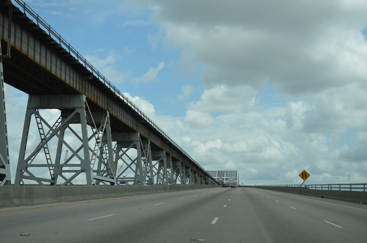
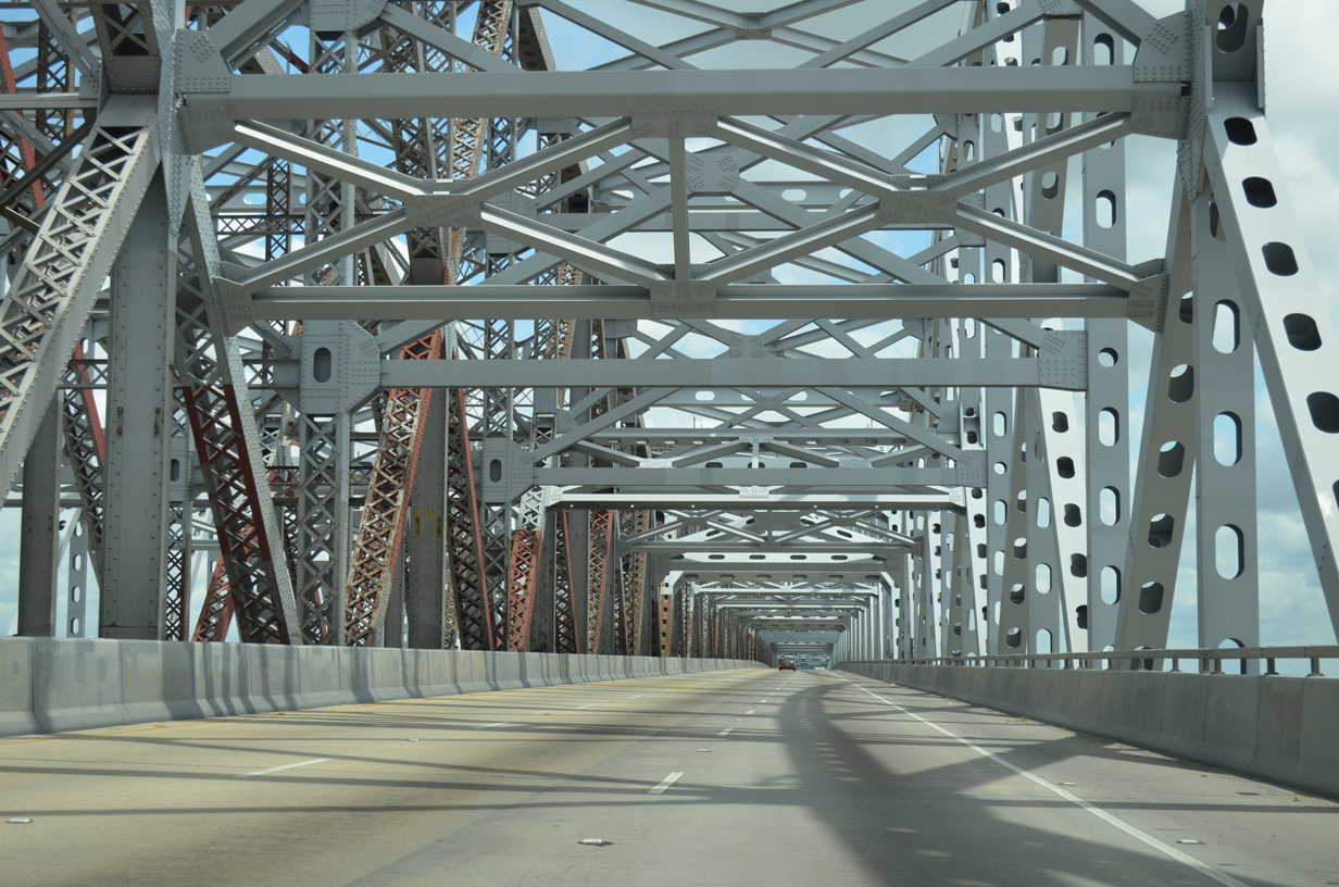
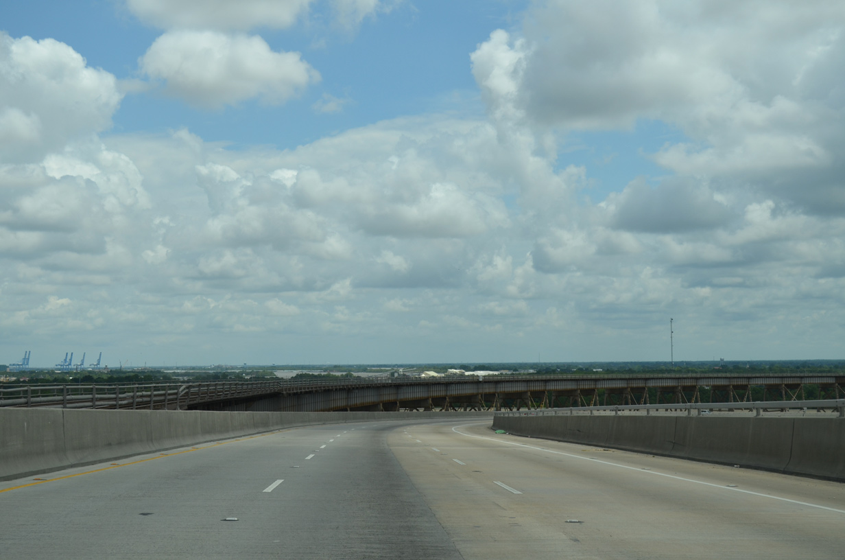
| U.S. 90 turns onto the Huey P. Long Bridge along a two lane ramp rising from Jefferson Highway. Traffic merges with two lanes originating from LA 3152 (Clearview Parkway) as the roadway climbs to 153 feet above the Mississippi River. 05/09/15 |
|
| Proceeding southeast, the Huey P. Long Bridge crests at 153 feet above the Mississippi River. 05/09/15 |
|
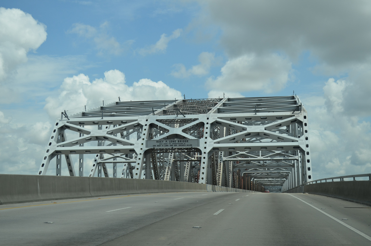
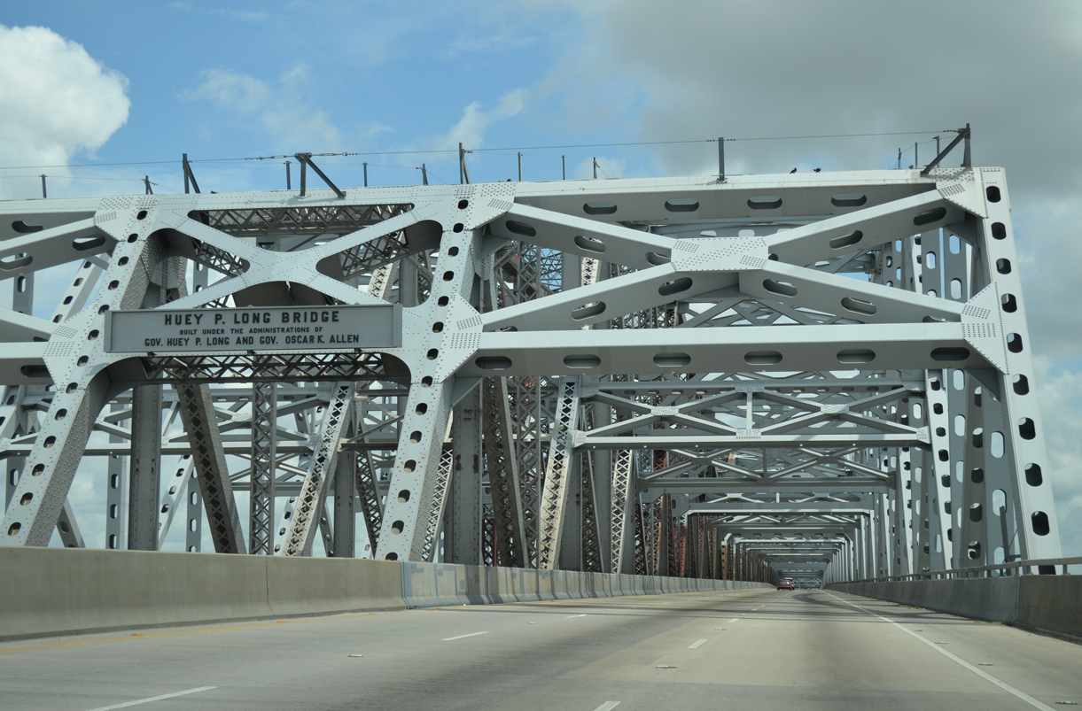
| The original bridge placard honoring Governors Huey P. Long and Oscar K. Allen was restored and mounted above the railroad portion of the cantilever bridge. The original crossing opened to traffic on December 16, 1935, after nearly three years of construction. 05/09/15 |
|
| The Huey P. Long Bridge is owned by the New Orleans Public Belt Railroad. Highway maintenance of the combination span is provided by LADOTD.1 05/09/15 |
|
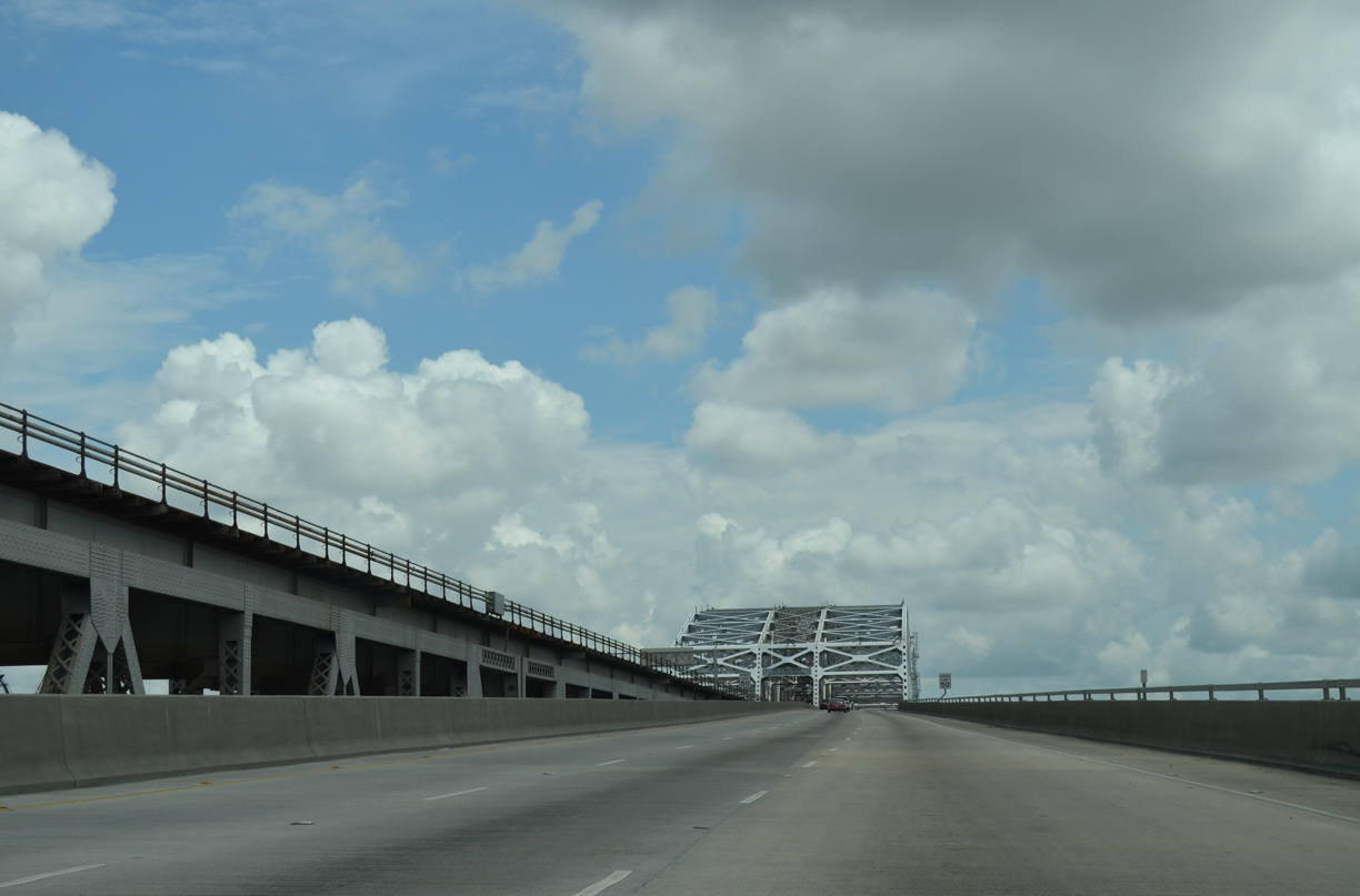
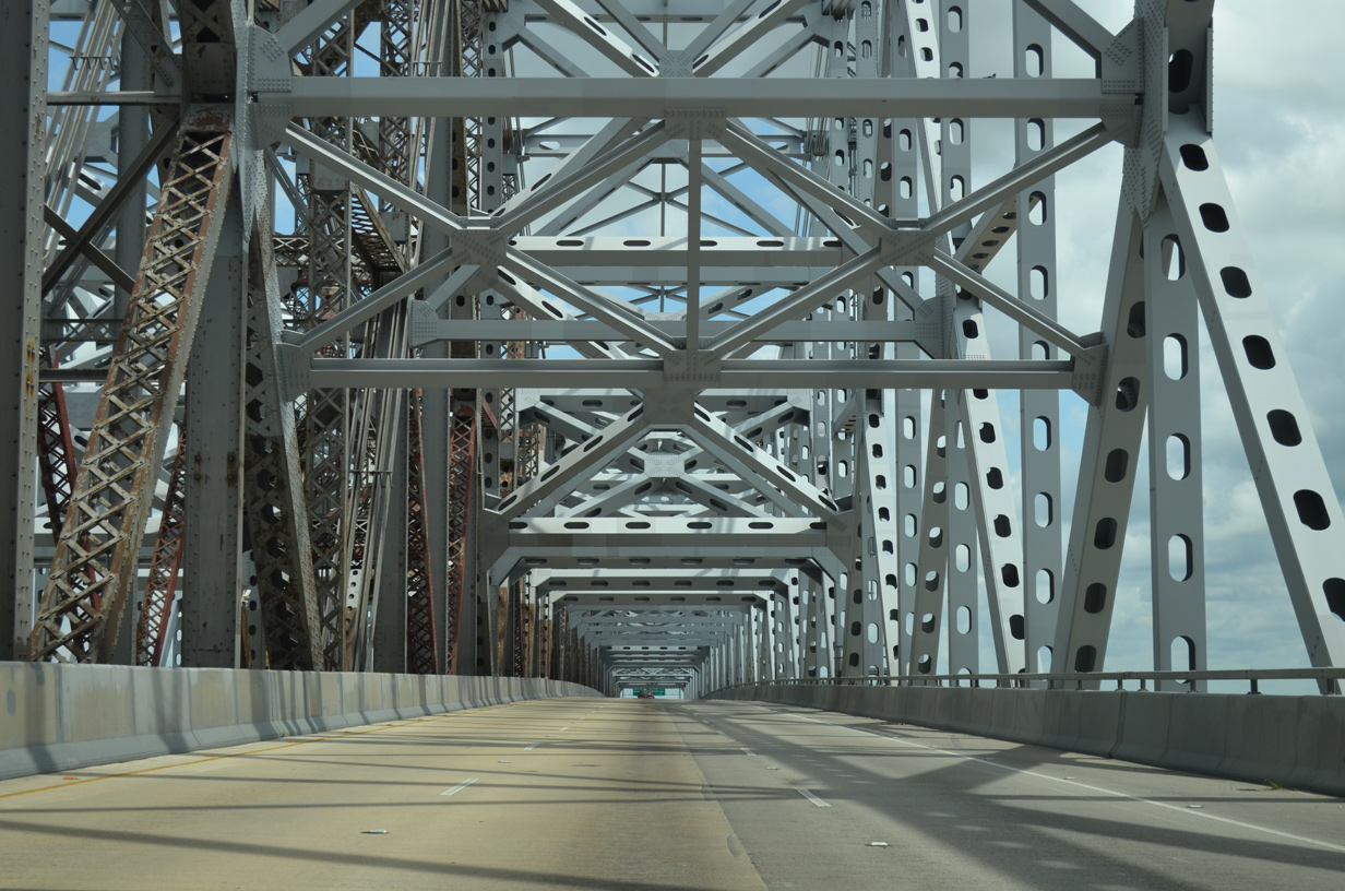
| The state of Louisiana TIMED program funded the $1.2 billion widening of the Huey P. Long Bridge from four lanes with no shoulders to six lanes with shoulders. The project wrapped up ahead of schedule in July 2013.1 05/09/15 |
|
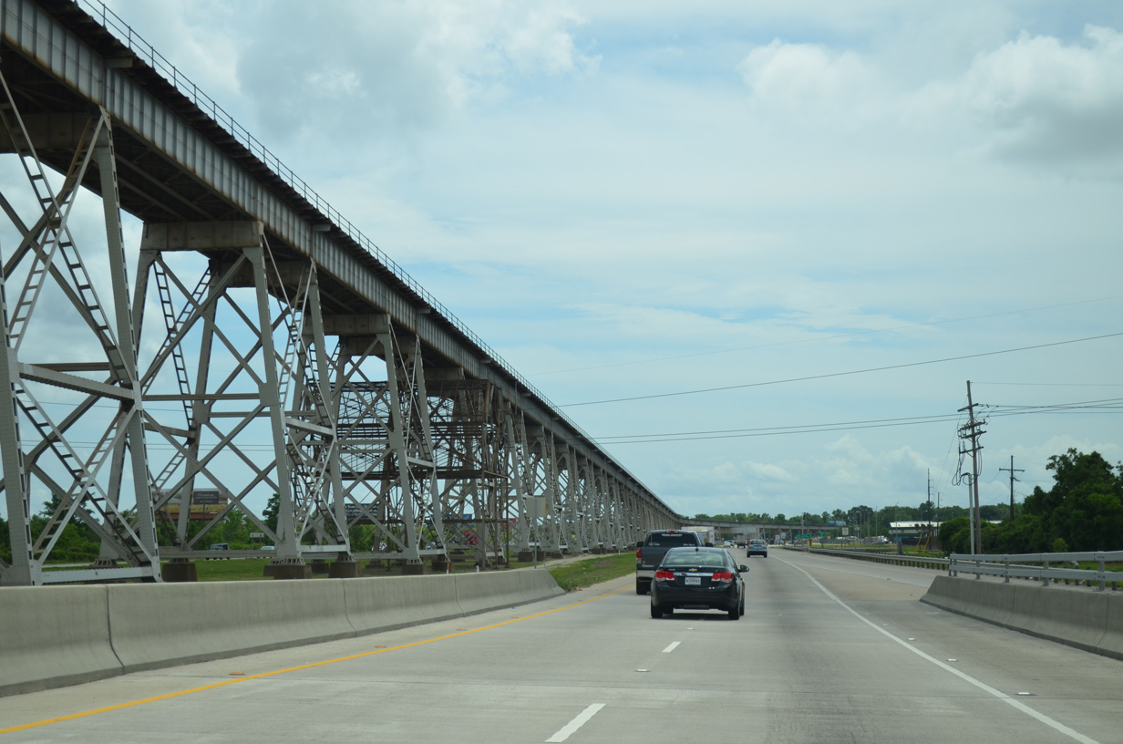
| Construction to expand the Huey P. Long Bridge included the addition of large steel truss assemblies spanning both road decks. Prior to the work, the truss portion only covered the New Orleans Public Belt Railroad lines.
The original span was the longest railroad crossing in the world at the time, spanning a distance of 4.35 miles.1 05/09/15 |
|
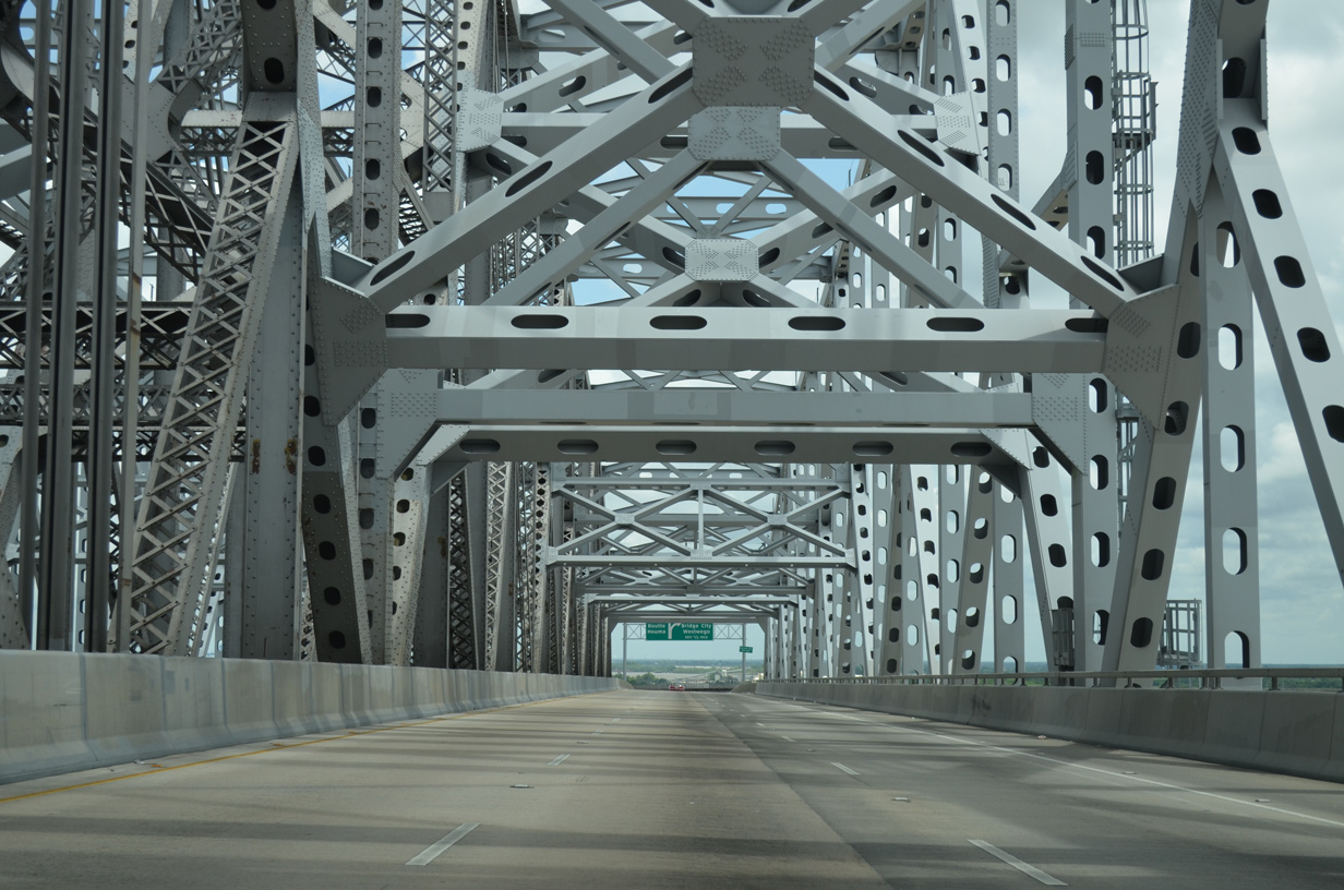
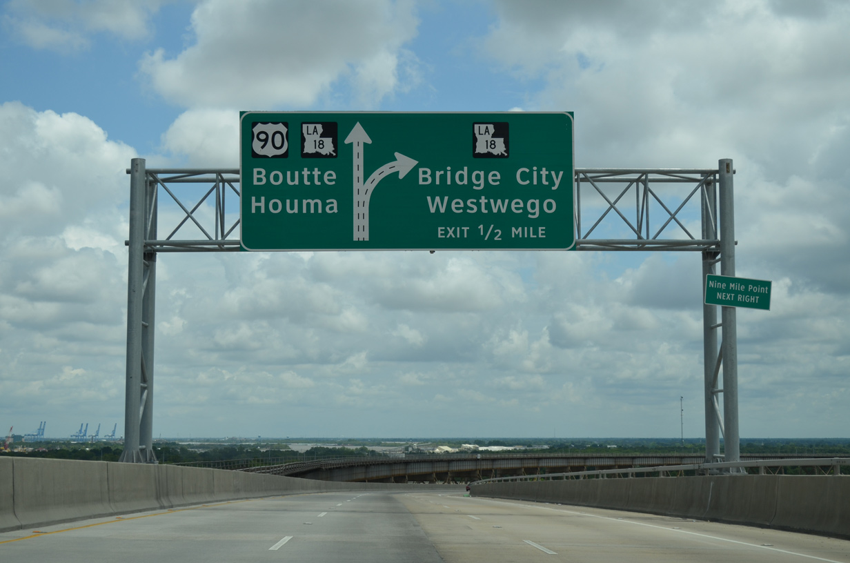
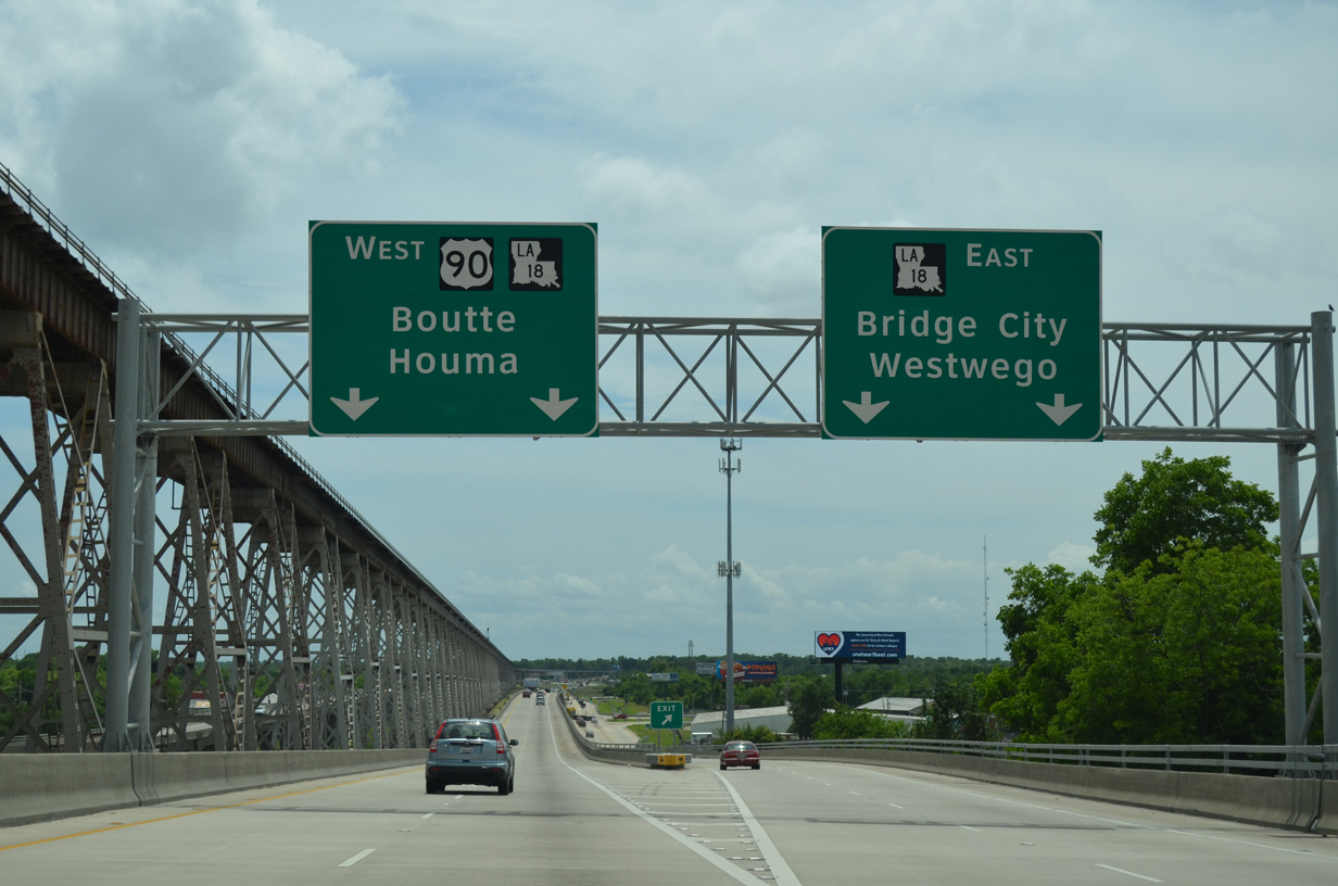
| A diagrammatic sign outlines the diamond interchange joining U.S. 90 with LA 18 (Seven Oaks Boulevard) east and Bridge City Avenue west at the base of the Huey P. Long Bridge. 05/09/15 |
|
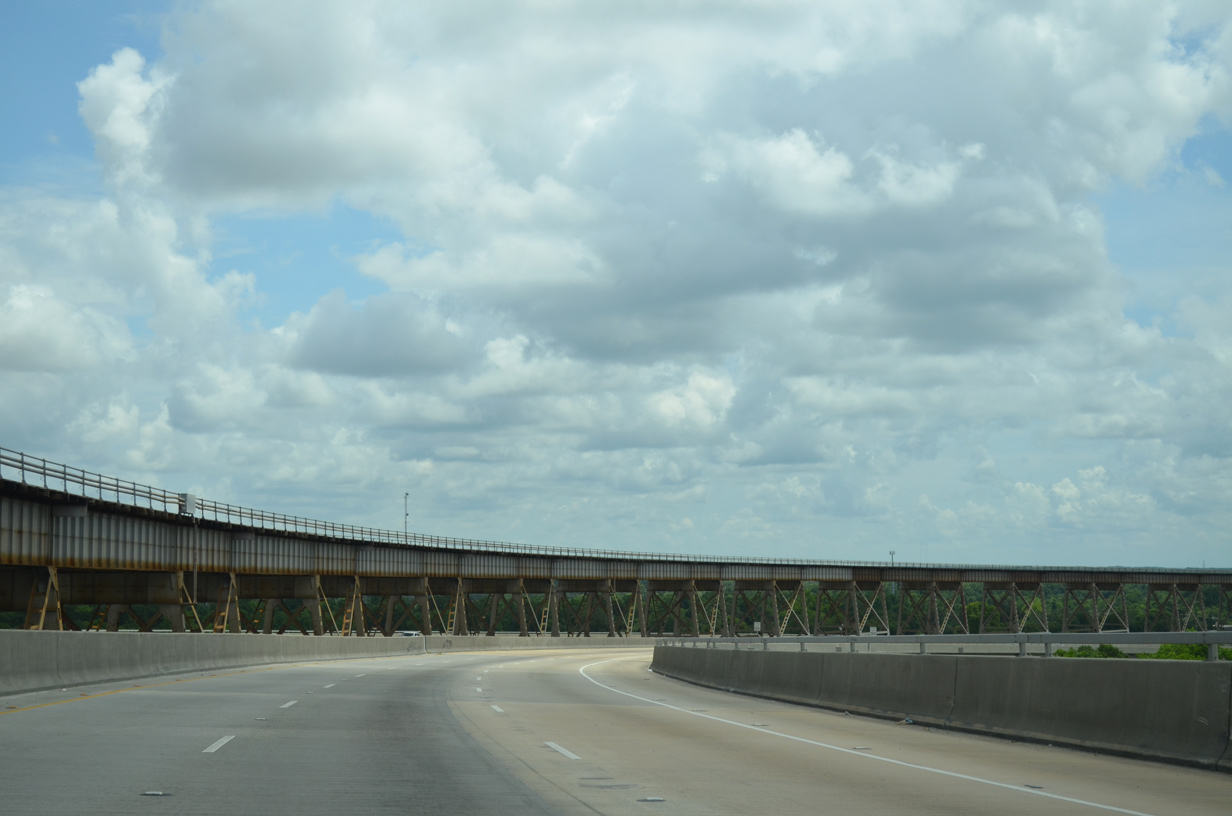
| The New Orleans Public Belt Railroad gradually lowers as U.S. 90 drops toward Bridge City on the West Bank. 05/09/15 |
|
| Speed limits were increased from 45 to 50 miles per hour upon completion of the Huey P. Long Bridge widening project. The 1935 deck was only wide enough to accommodate two nine foot lanes. 05/09/15 |
|
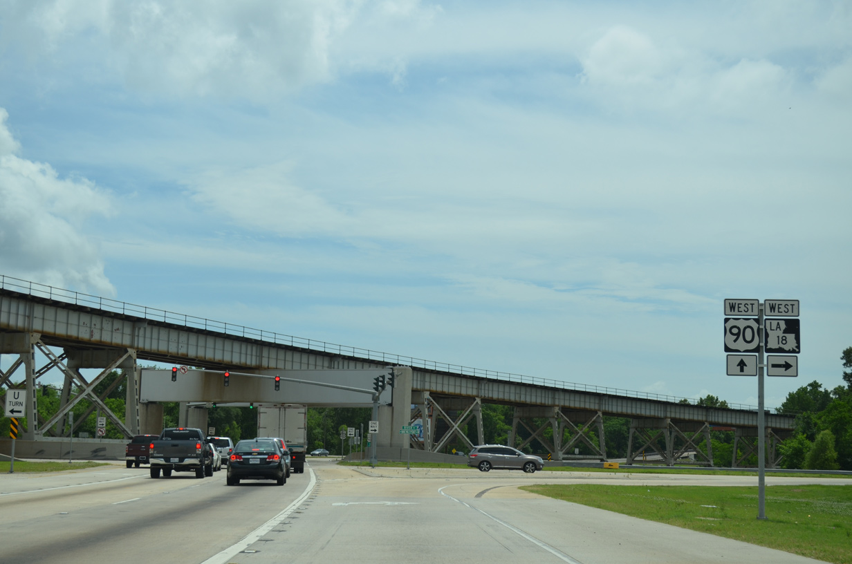
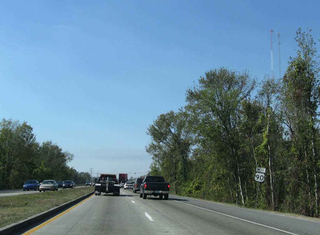
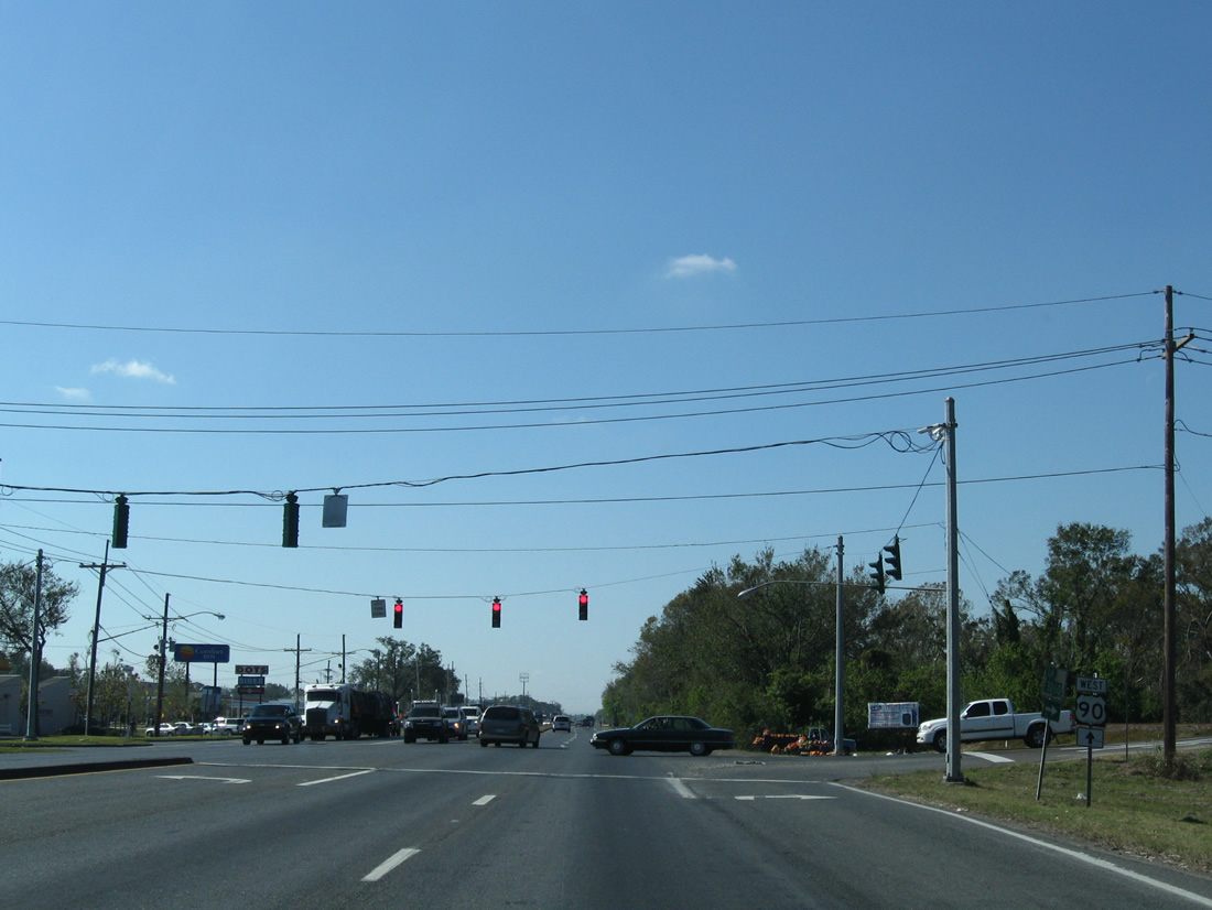
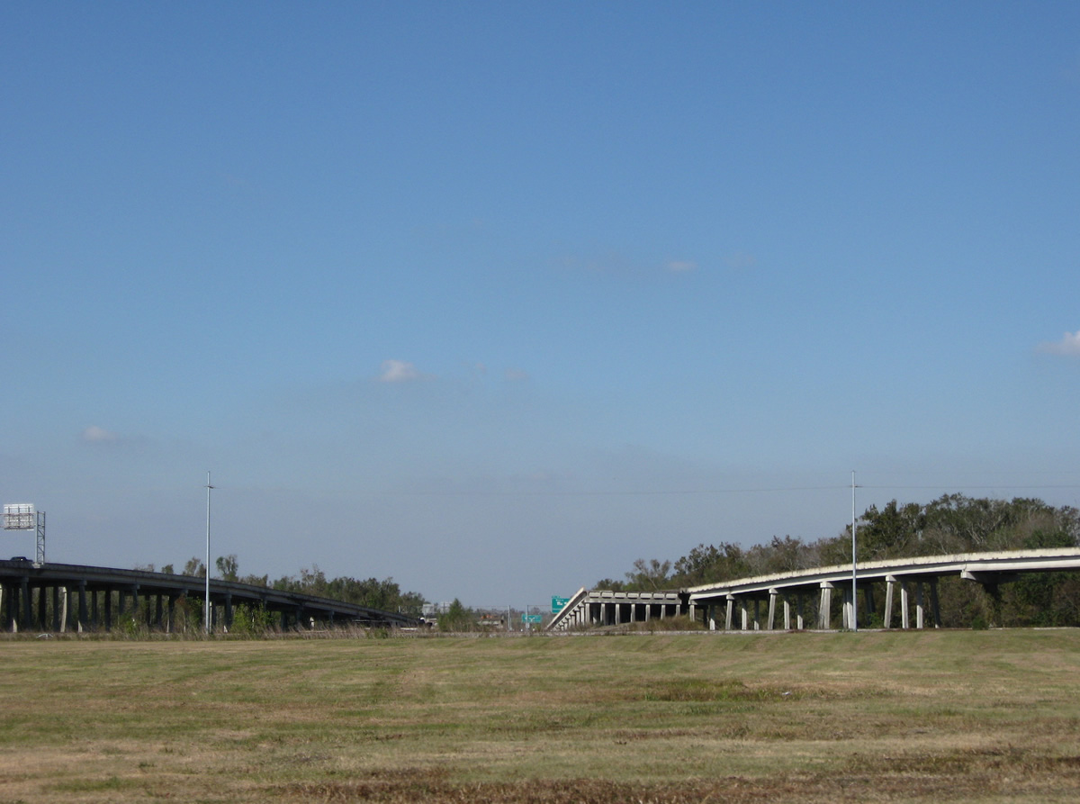
| The traffic circle joining U.S. 90 and LA 18 at the foot of the Huey P. Long Bridge was removed and replaced with overpasses carrying the US highway mainline above Bridge City Avenue. LA 18 represents a historic alignment of U.S. 90 east to Westwago and Marrero. 05/09/15 |
|
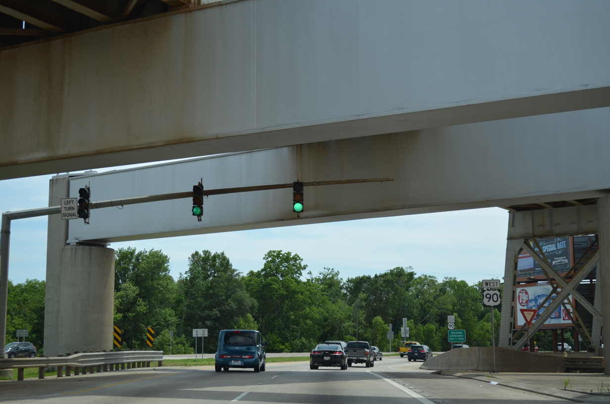
| U.S. 90 returns to grade level as LA 18 west merges from Bridge City Avenue to the right. 05/09/15 |
|
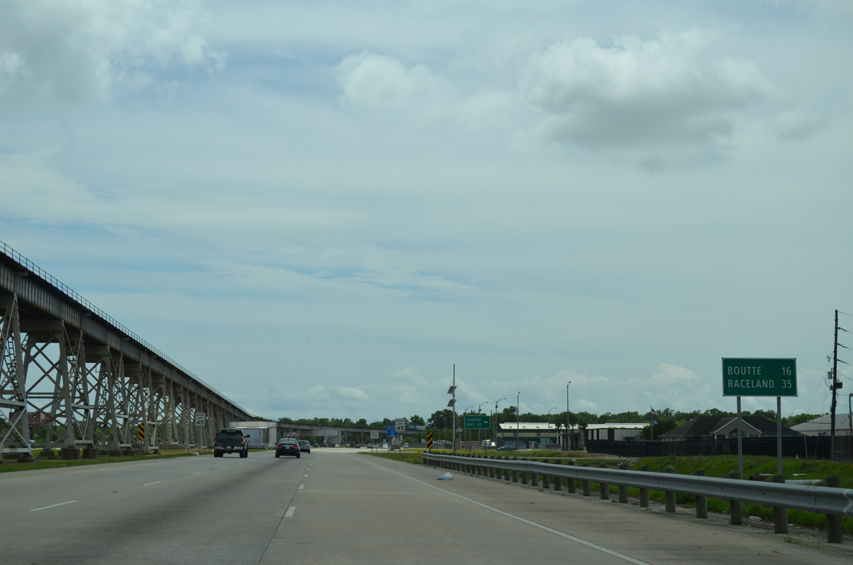
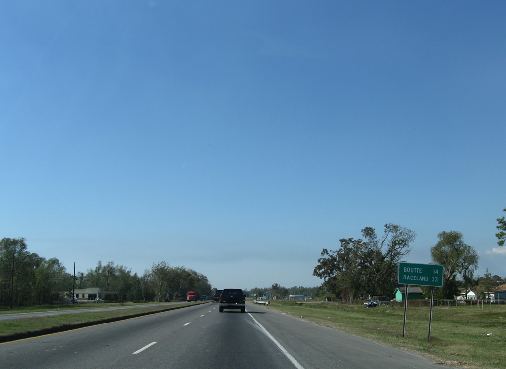
| Turning west at Avondale, U.S. 90 travels 16 miles from Bridge City to Boutte and 35 miles to a freeway (Future I-49 South) around Raceland. 05/09/15 |
|
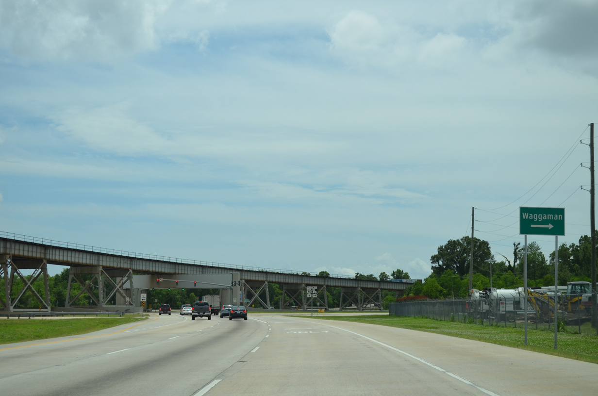
| LA 18 and U.S. 90 west overlap for just a half mile before separating at River River and 9 Mile Point Road West. The state highway branches west to run along the Mississippi River from Waggaman to Donaldsonville. 05/09/15 |
|
| LA 18 ventures west to a Union Pacific Railyard and Ingalls Shipbuilding through Avondale. LA 541 extends River Road north back to Bridge City from nearby. 05/09/15 |
|
| The New Orleans Public Belt Road arcs southwest to cross over U.S. 90 west to the aforemention UP Railroad facility. 05/09/15 |
|
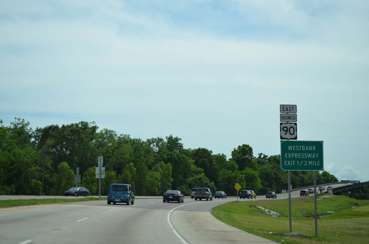
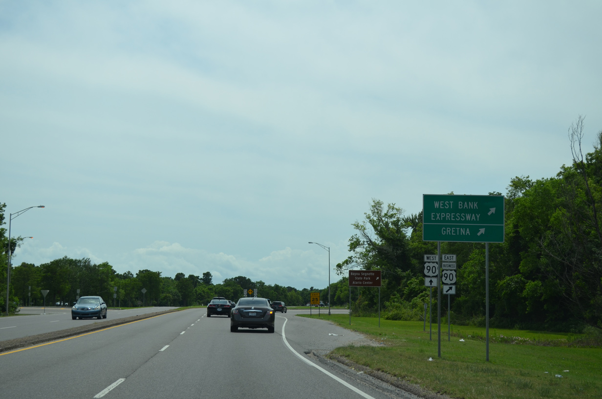
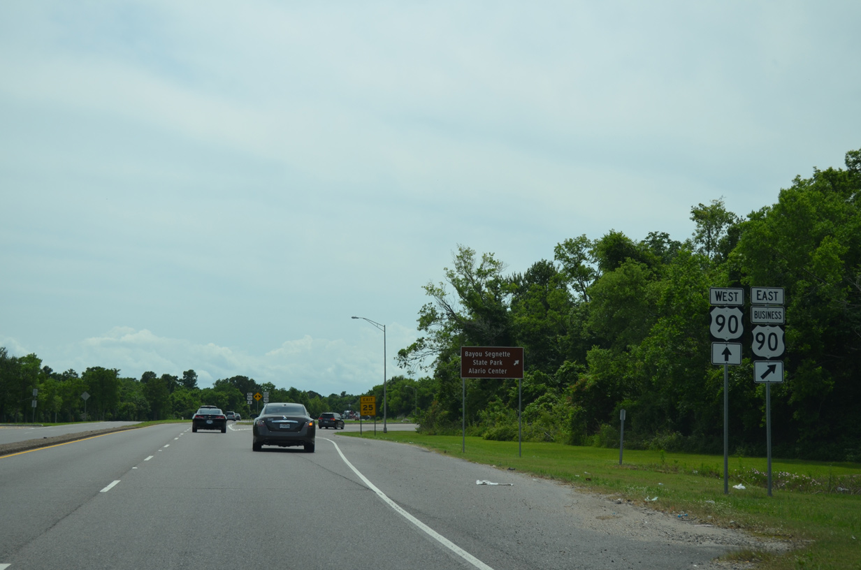
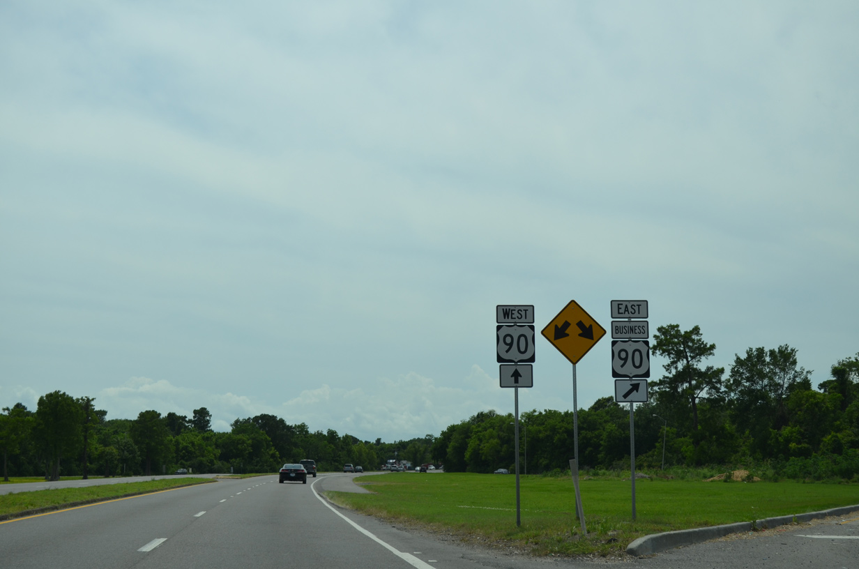
| U.S. 90 Business (Westbank Expressway) and U.S. 90 west come together at a folded diamond interchange in a half mile. 05/09/15 |
|
| A US 90 bridge stamp appears on the 1941 span across two Union Pacific Railroad tracks. 11/20/08 |
|
| The 1941 bridge lowers over ramps to the Westbank Expressway, carrying four overall lanes. 05/09/15 |
|
| Traffic bound for Westwago, Marrero, Harvey and New Orleans departs U.S. 90 west for the Westbank Expressway. 05/09/15 |
|
| The western most reaches of U.S. 90 Business travel at-grade along roadways that will eventually become frontage roads to an extended freeway. 05/09/15 |
|
| Beyond Westwood Avenue at Marrero, U.S. 90 Business (Westbank Expressway) upgrades to freeway standards, doubling as the unsigned Interstate 910 to Downtown New Orleans. 05/09/15 |
|
| U.S. 90 crosses Labranche Canal midway between the Westbank Expressway end and Lapalco Boulevard. 05/09/15 |
|
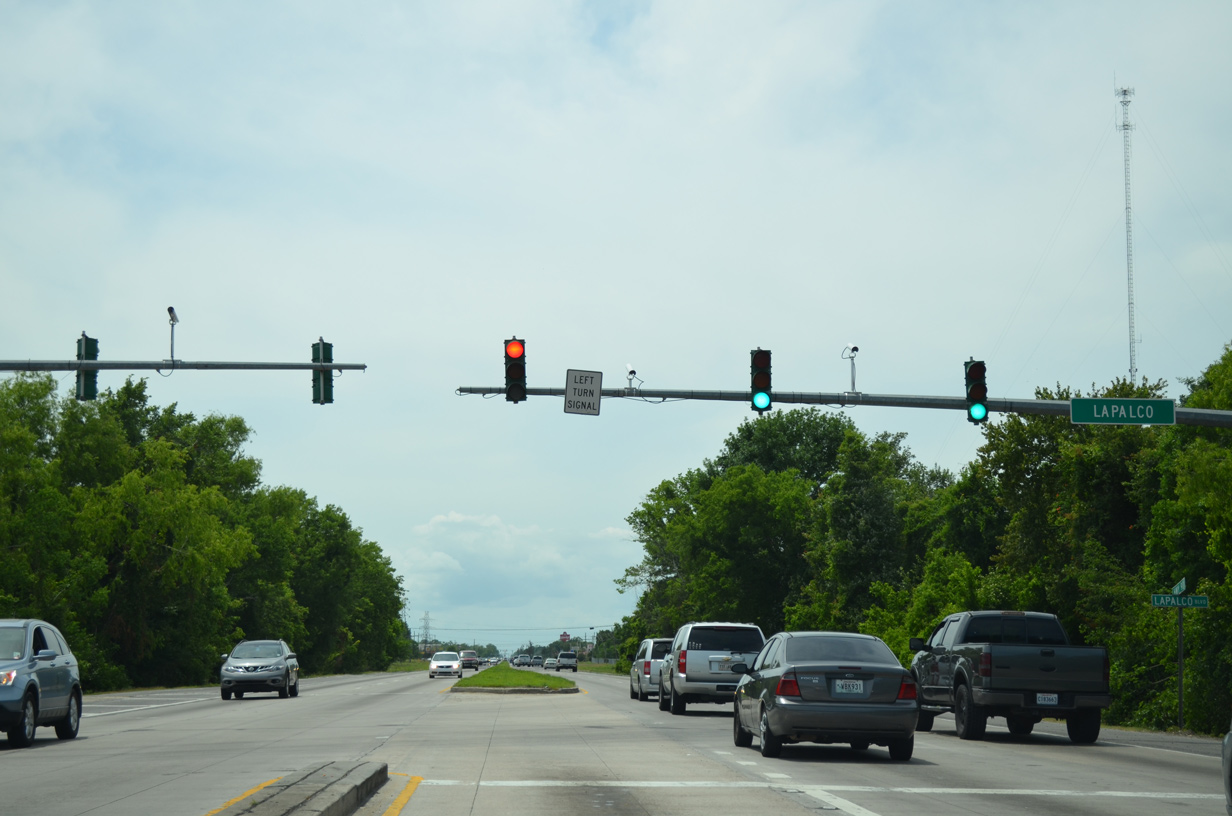
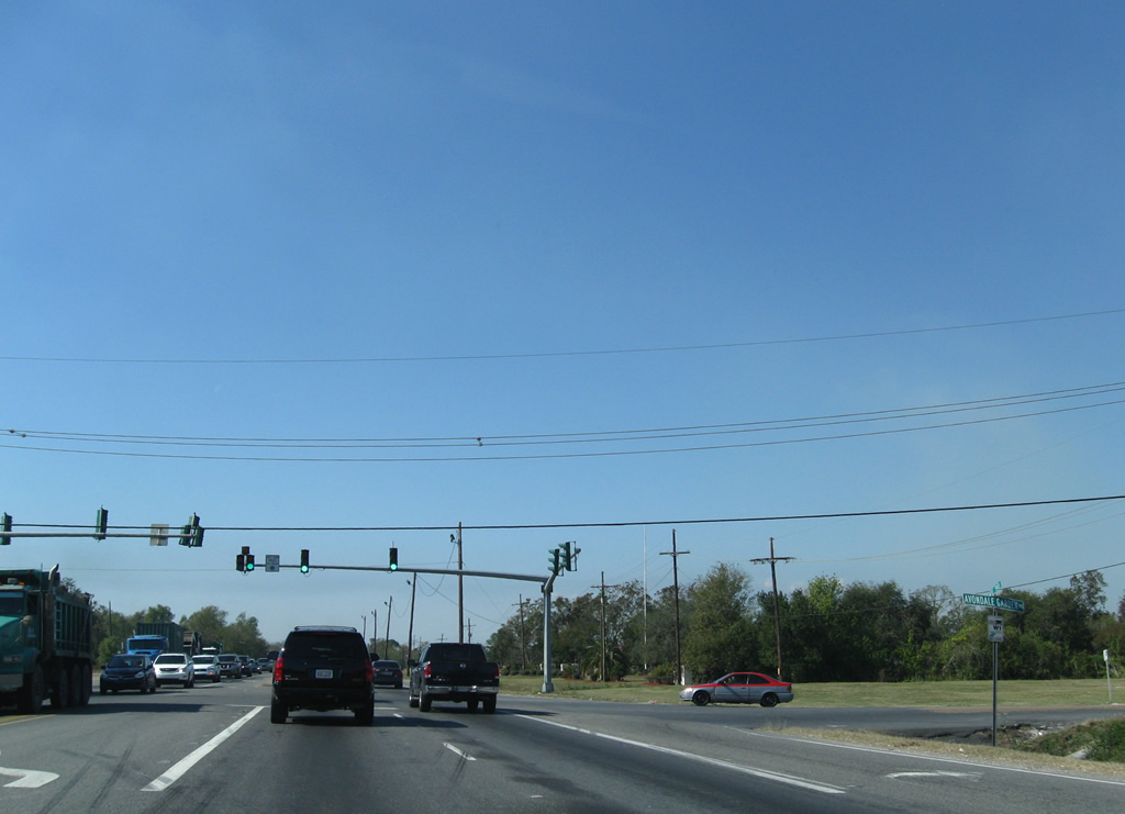
| Lapalco Boulevard ends at U.S. 90 near Avondale. The east-west arterial serves a bevy of suburban communities from south of Westwago to LA 23 (Belle Chasse Highway) near Terrytown. 05/09/15 |
|
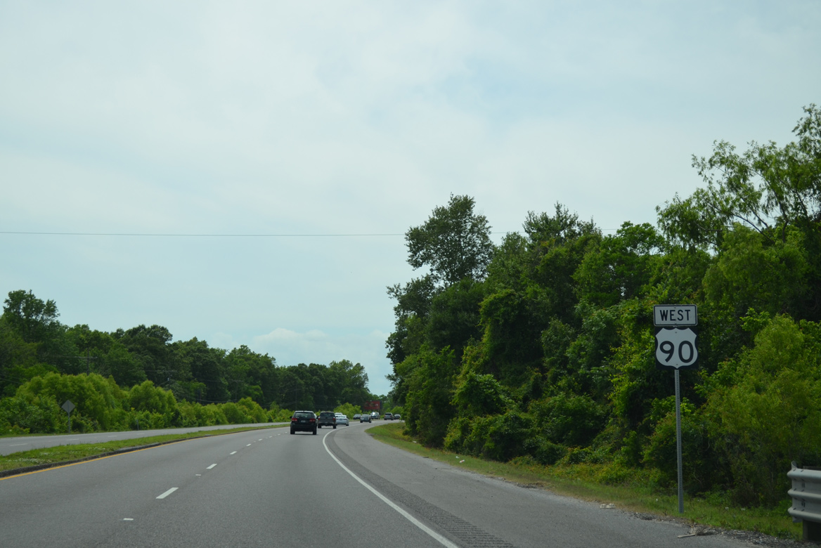
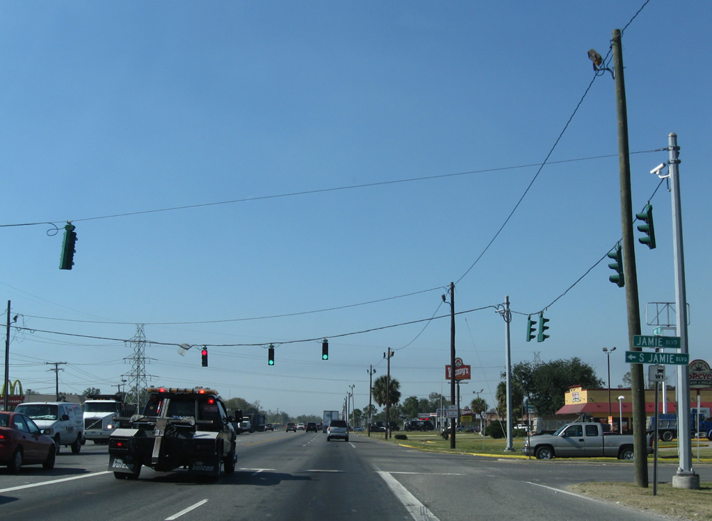
| Westbound shield posted between Lapalco Boulevard and Jamie Boulevard at Avondale. 11/20/08 |
|
| Jamie Boulevard connects U.S. 90 with a number of east-west residential streets at Avondale. 11/20/08 |
|
| Avondale Garden Road connects U.S. 90 with LA 18 (River Road) southeast of Waggaman. 11/20/08 |
|
| Traffic lights govern movements between U.S. 90 and Butler Drive, the entrance to the Kennedy Heights subdivision. 11/20/08 |
|
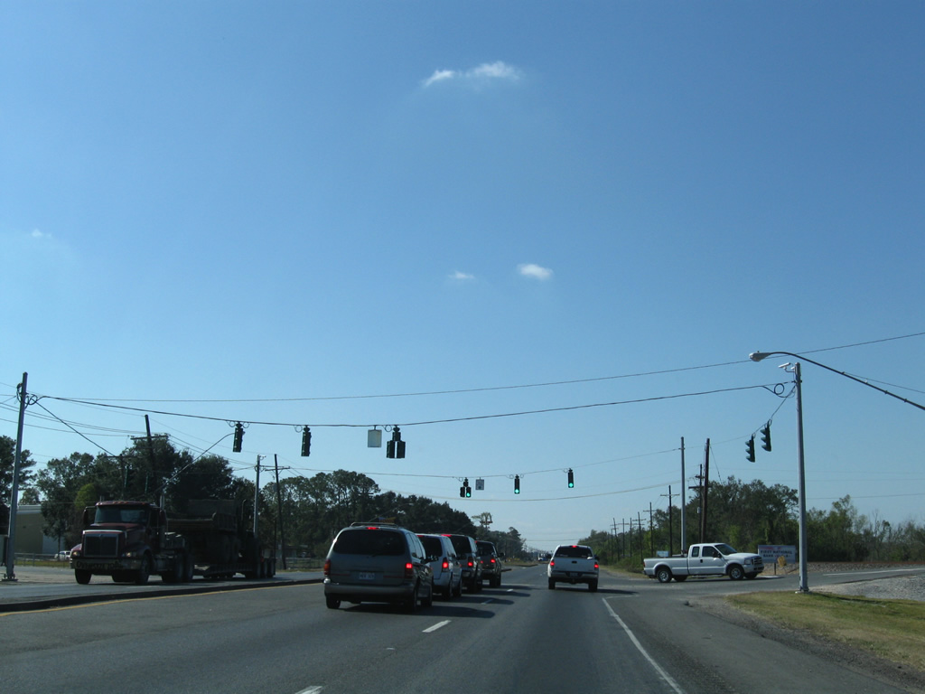
| Beyond the Avondale area, U.S. 90 travels 14 miles to Boutte and 33 miles to Raceland. 11/20/08 |
|
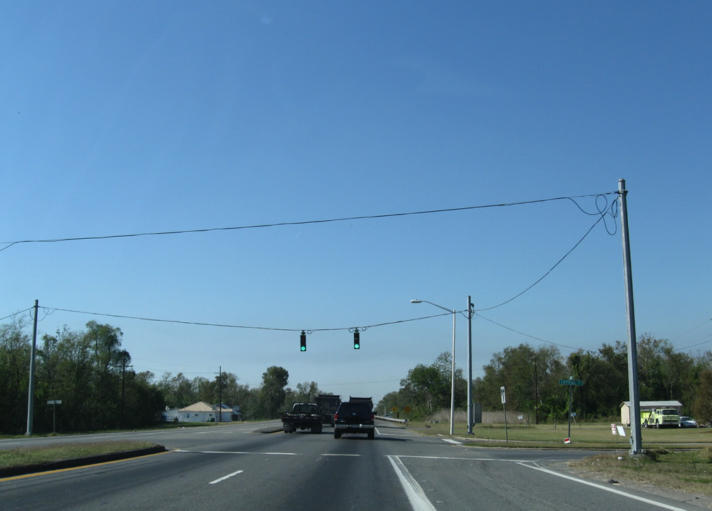
| Capitol Drive stems north from U.S. 90 to the Avondale community of Washington Place from this traffic light. 11/20/08 |
|
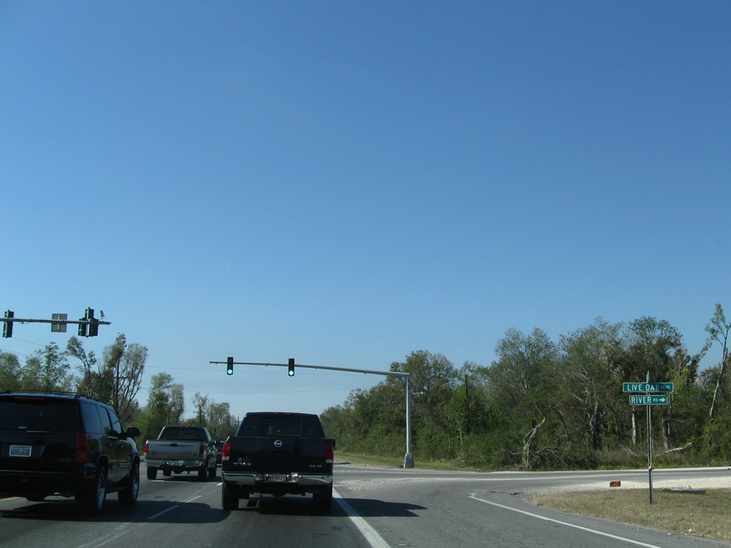
| Live Oak Boulevard meanders northwest from U.S. 90 to South Kenner Avenue. Connections with Willswood Lane lead motorists to LA 18 at Waggaman. 11/20/08 |
|
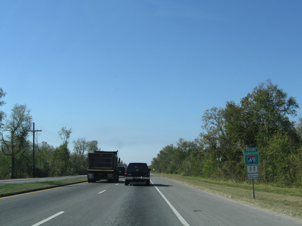
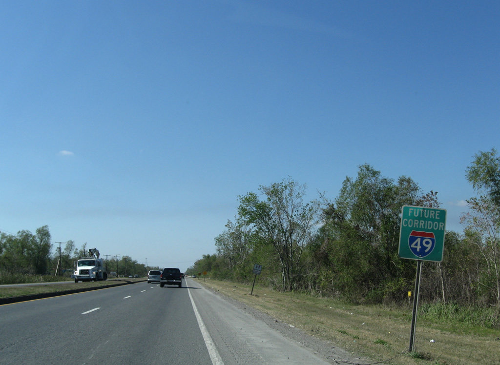
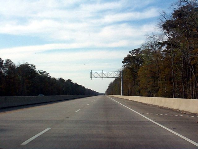
| Future Interstate 49 corridor signs were posted along U.S. 90 from the Westbank Expressway west to Lafayette in the late 1990s. Several of these have disappeared over the years and the progress of Interstate 49 South is limited to freeway upgrades from Raceland west to New Iberia. 11/20/08 |
|
| U.S. 90 travels by wetlands and Outer Cataouatche Canal into St. Charles Parish. 11/20/08 |
|
| Another Future Interstate 49 corridor sign follows the Jefferson Parish line. 11/20/08 |
|
| Spanning Davis Pond Diversion Canal on a bridge date-stamped 2000 along U.S. 90 west near Lone Star. 11/20/08 |
|
| Willowdale Boulevard spurs south from U.S. 90 to the Willowdale golf course community. 11/20/08 |
|
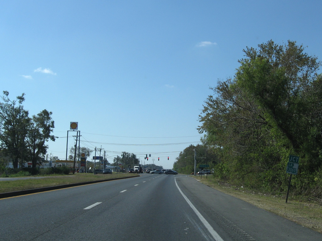
| Approaching LA 3060, a 1.15 mile connector between U.S. 90 and LA 18 (River Road) at Lone Star. 11/20/08 |
|
| LA 3060 follows Barton Avenue northeast from U.S. 90. Lakewood Drive ties in from the Mimosa Park community to the south. 11/20/08 |
|
| A BNSF Railroad line lines the westbound side of U.S. 90 to Boutte. Pictured here is the signalized intersection with Oak Lane south and an industrial plant entrance to the north. 11/20/08 |
|
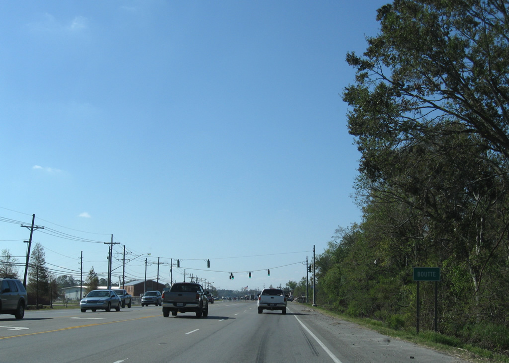
| Entering the unincorporated community of Boutte along U.S. 90 west near Coronado Drive. 11/20/08 |
|
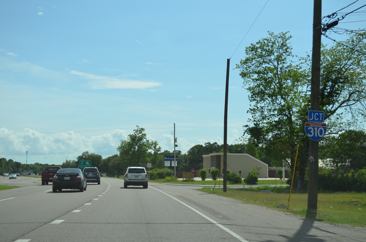
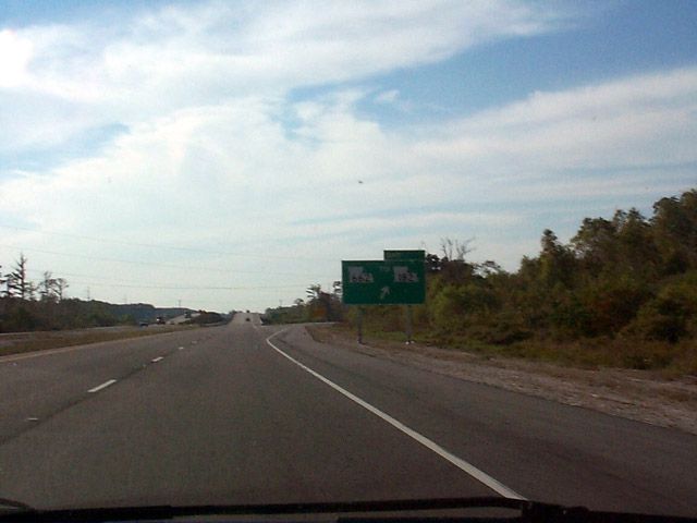
| The first guide sign for Interstate 310 & LA 3127 appears one quarter mile east of the half diamond interchange with the 11.25 mile freeway in Boutte. 05/09/15 |
|
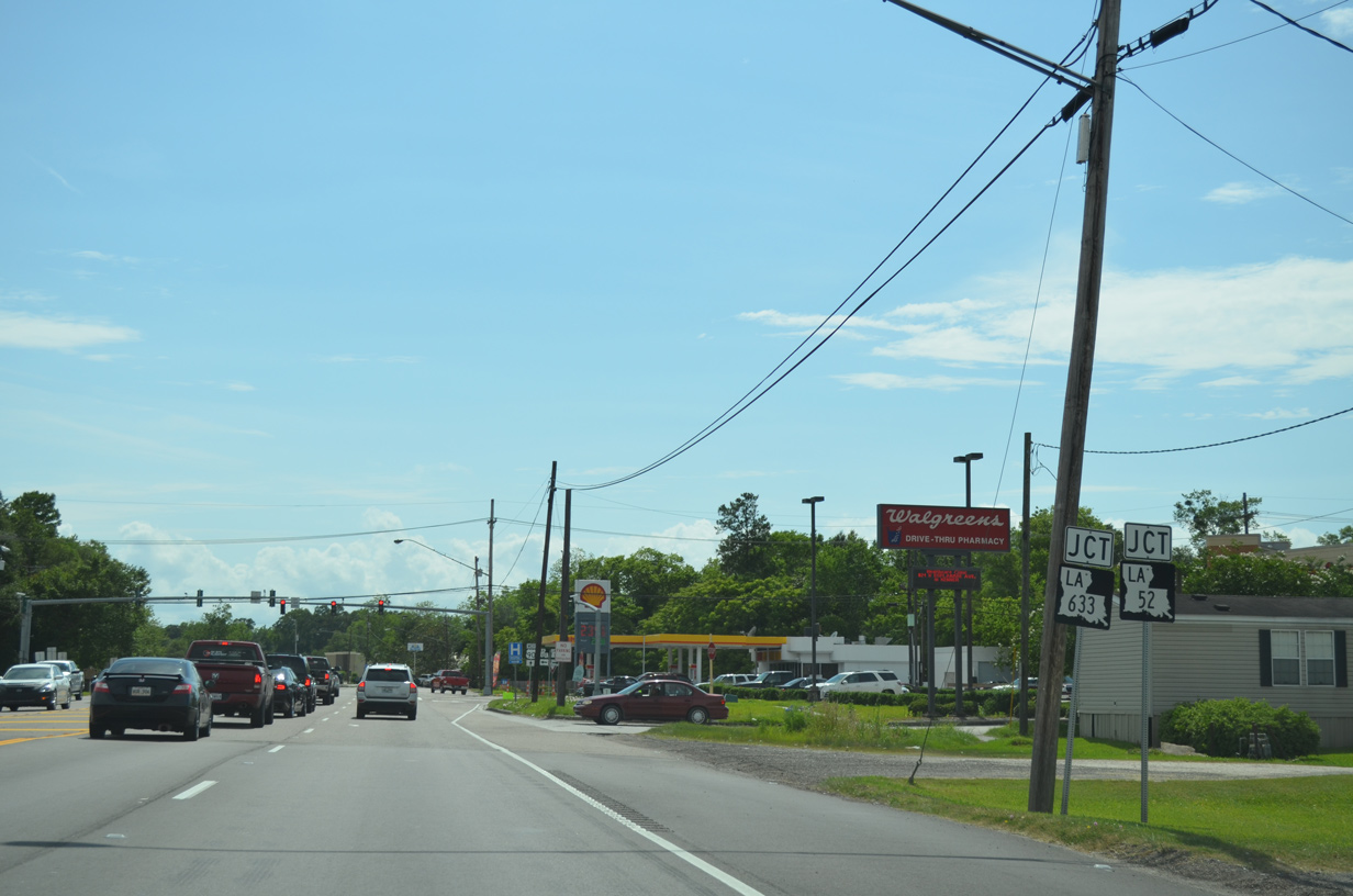
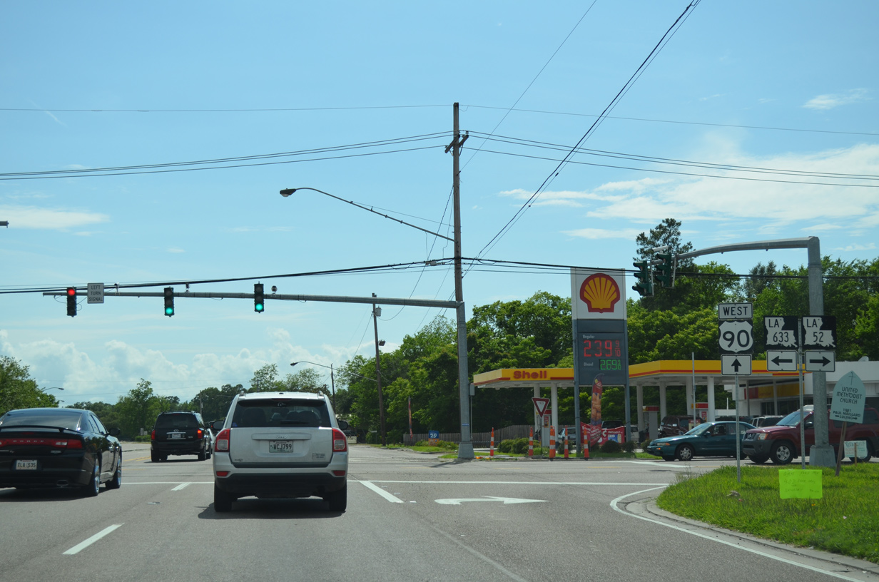
| LA 52 (Paul Maillard Road) south and LA 633 (Magnolia Ridge Road) north come together and end at U.S. 90 in Boutte. 05/09/15 |
|
| LA 52 angles 2.7 miles northeast along Paul Maillard Road to LA 18 (River Road) at Luling. LA 633 spurs 2.8 miles south to a dead end near Paradis Canal. 05/09/15 |
|
| The forthcoming interchange with Interstate 310 and LA 3127 replaced an at-grade intersection with LA 3127 in 1988. Constructed in 1975 between Boutte and Killona, lA 3127 runs 44.3 miles toward Donaldsonville. 05/09/15 |
|
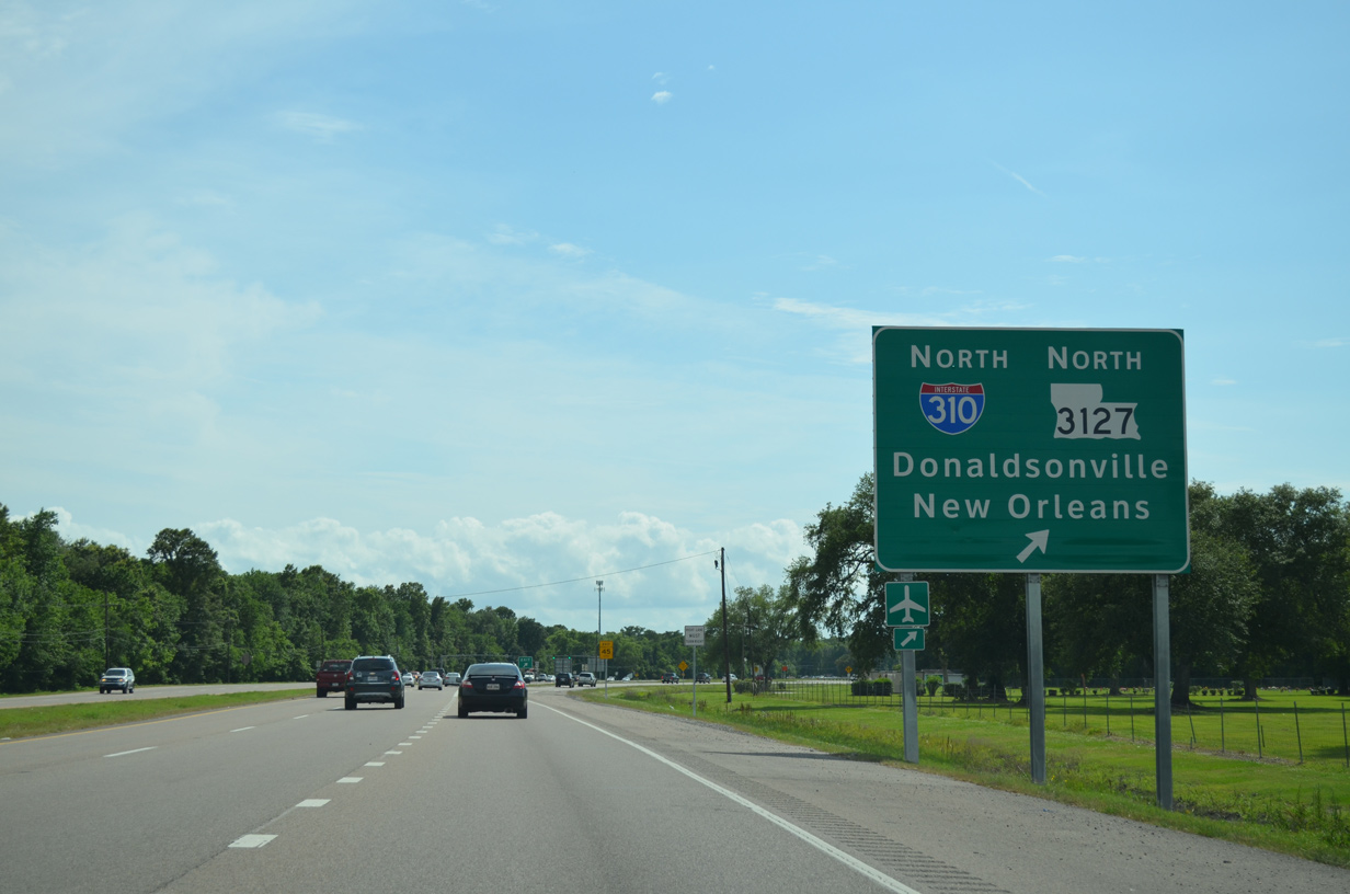
| Travelers bound for Interstate 310 north to Destrehan and New Orleans or LA 3127 northwest toward Wallace and Gramercy depart U.S. 90 westbound. I-310 ends at Interstate 10 near Kenner and Louis Armstrong New Orleans International Airport (MSY). 05/09/15 |
|
| U.S. 90 westbound shield assembly posted ahead of the signalized turn onto I-310 north from U.S. 90 east. 11/20/08 |
|
| Stubs exist at both roadway ends of Interstate 310 to the north of U.S. 90 and the parallel BNSF Railroad. It remains to be seen if I-310 will continue two miles south to Interstate 49 South as originally planned, or if I-49 will overtake the freeway north to end at Interstate 10. 11/20/08 |
|
| Interstate 310 & LA 3127 southbound traffic concludes at the left turn onto U.S. 90 east at this traffic light. A sweeping ramp merges onto U.S. 90 west ahead. 11/20/08 |
|
| Leading away from I-310, U.S. 90 passes through a commercial strip ahead of Paradis. A signalized intersection joins the US route with Tiger Drive south to Hahnville High School. 05/09/15 |
|
| LA 306 spurs south from parallel LA 631 (Old Spanish Trail) to intersect U.S. 90 at the community of Paradis. The state highway extends south alongside Crawford Canal to Green Acres to a dead end at Bayou Gauche. 05/09/15 |
|
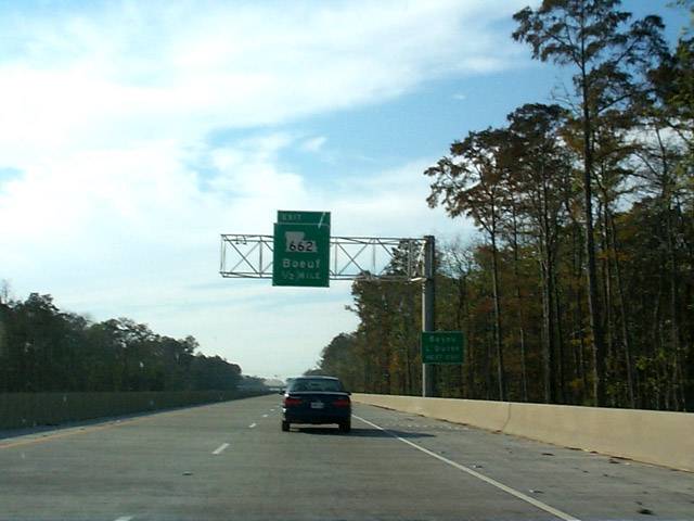
| U.S. 90 / Future Interstate 49 west at the diamond interchange (Exit 185) with LA 662 near Gisbon. LA 662 begins at LA 182 (former U.S. 90) just to the south, and comprises a 11.1 mile loop alongside Bayou L'Ourse to Boeuf. 11/12/99 |
|
| Westbound on U.S. 90 travels a lengthy viaduct over Alligator Bayou toward a directional cloverleaf interchange with LA 662 at Boeuf. 11/12/99 |
|
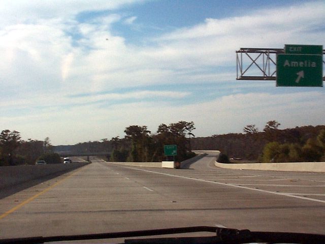
| LA 662 ends 0.7 miles south of Exit 182 at LA 182 (former U.S. 90). LA 182 and U.S. 90 span Bayou Boeuf into Amelia next. 11/12/99 |
|
| U.S. 90 spans Bayou Boeuf and enters St. Mary Parish ahead of the flyover ramp (Exit 181) to Lake Palourde Bypass at Amelia. 11/12/99 |
Page Updated 10-04-2016.

 West
West