|
| U.S. 276 emerges from Caesars Head State Park and descends by Campbell Mountain to Lakemont and the north end of S.C. 8 (Caesars Head Highway). 07/23/04 |
|
| S.C. 8 provides a cut off from U.S. 276 east 0.67 miles to S.C. 11 (Cherokee Foothills Scenic Highway) south. S.C. 11 trends west toward Table Rock State Park and Walhalla while S.C. 8 ventures southward to Pumpkintown, Pickens and Easley. 07/23/04 |
|
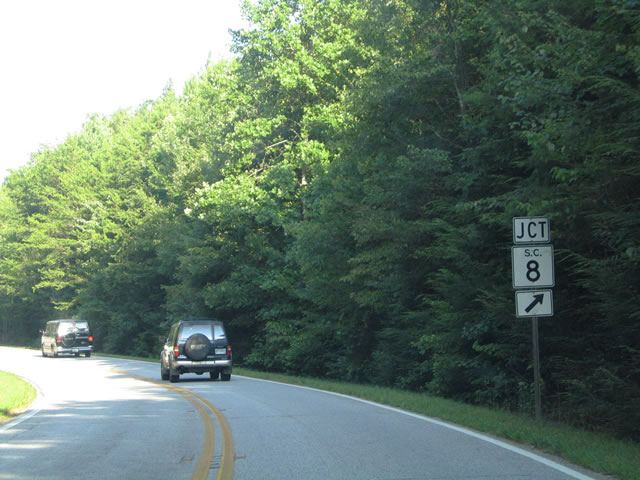
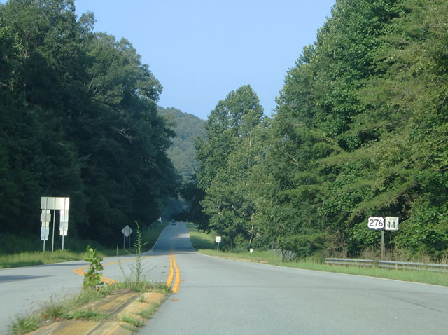
| U.S. 276 (Geer Highway) proceeds 0.97 miles east from S.C. 8 (Caesars Head Highway) along the Pickens County line to S.C. 11 (Cherokee Foothills Scenic Highway). 07/23/04 |
|
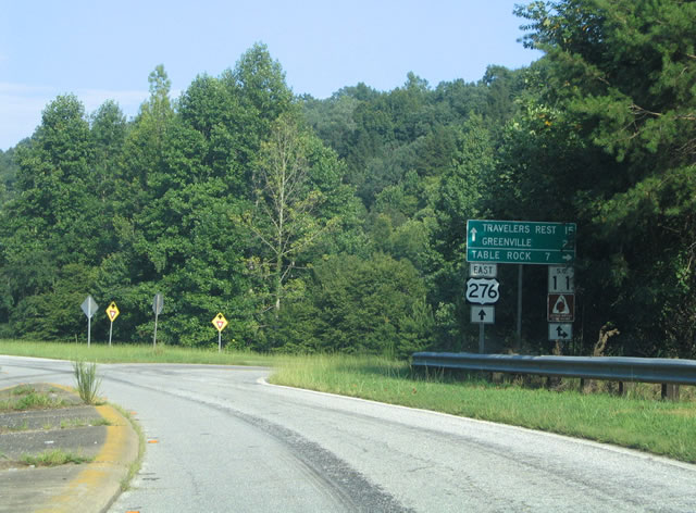
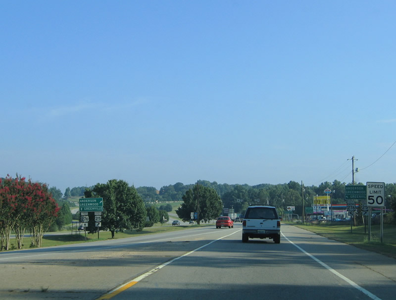
| U.S. 276 east combines with S.C. 11 (Cherokee Foothills Scenic Highway) east along the South Saluda River. The intersection where the two meet here was reconfigured to bring U.S. 276 and S.C. 11 together at a right angle. 07/23/04 |
|
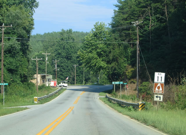
| U.S. 276 and S.C. 11 overlap for 5.48 miles. This set of shields was removed along with the concrete median during subsequent construction. A National Scenic Highway, Cherokee Foothills Scenic Highway coincides with S.C. 11 between I-85 (Exit 1) near Fair Play and I-85 (Exit 92) at Gaffney. 07/23/04 |
|
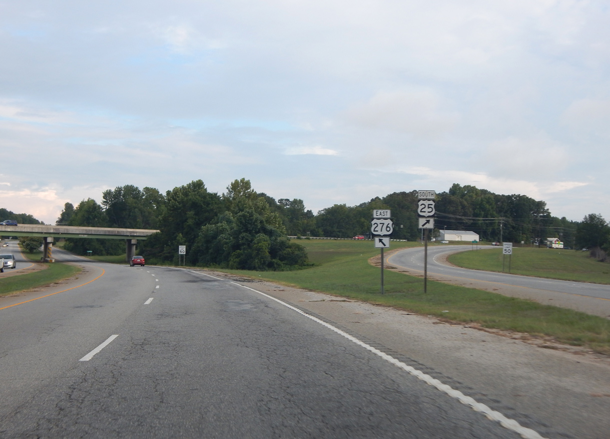
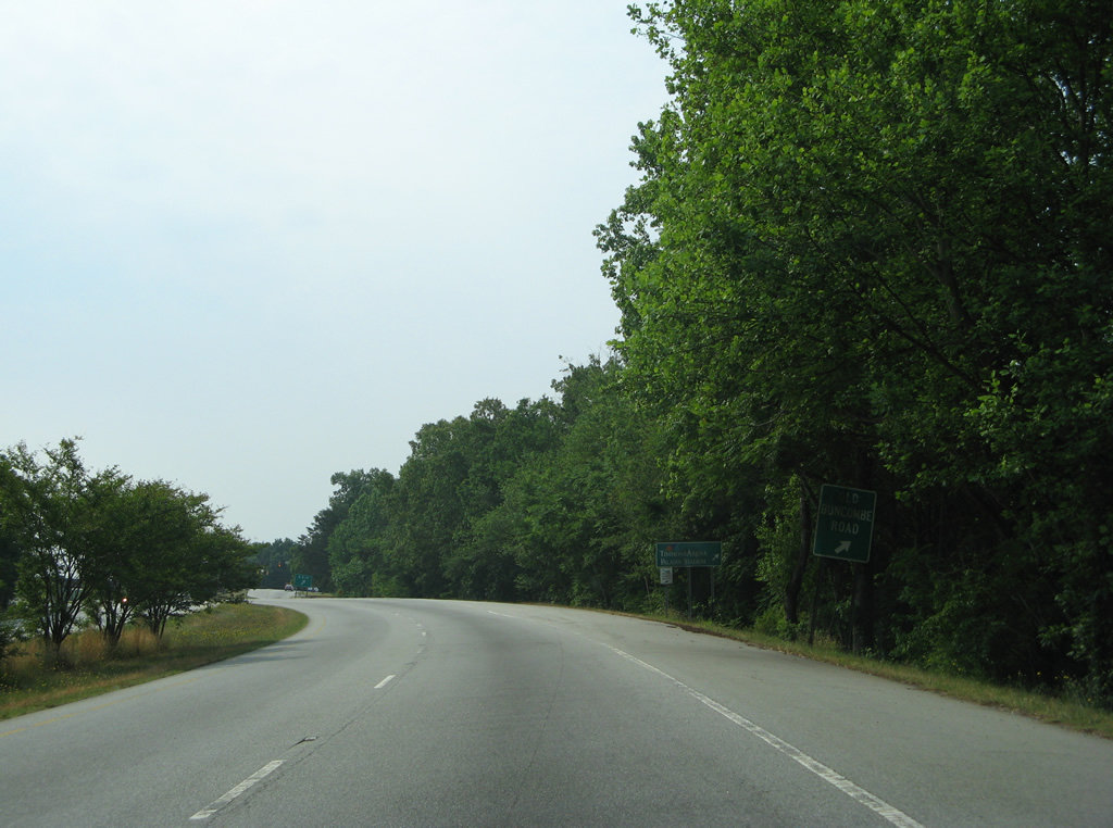
| U.S. 276 east and S.C. 11 north split at the community of Cleveland. S.C. 11 (Cherokee Foothills Scenic Highway) continues five miles east to U.S. 25 at Lima and 21 miles to Gowensville. Old S.C. 11 intersects U.S. 276 just ahead of Mill Creek. 07/23/04 |
|
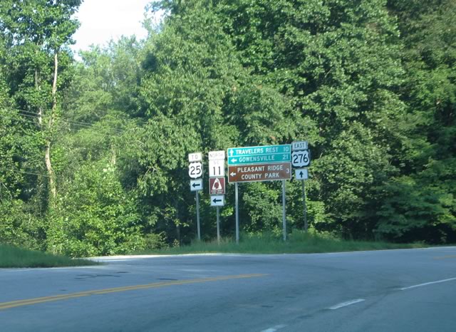
| U.S. 276 turns south from S.C. 11 toward Marietta. Cherokee Foothills Scenic Highway progresses east to Pleasant Ridge State Park and Interstate 26 near Campobello. 07/23/04 |
|
| U.S. 276 converges with the east end of S.C. 288 (Pumpkintown Road) at the community of Marietta. S.C. 288 travels ten miles west to S.C. 8 at Pumpkintown and 16 miles to U.S. 178 near Mosley Mountain. 07/23/04 |
|
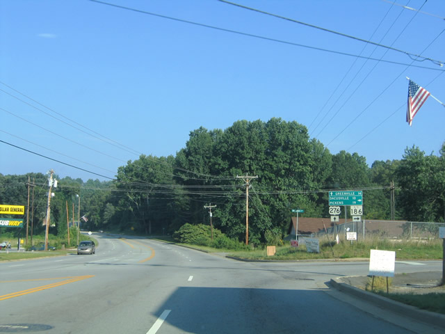
| U.S. 276 (Geer Highway) advances just 0.22 miles from S.C. 288 to meet the east end of S.C. 186 (Dacusville Road). A 14.96 mile long highway, S.C. 186 leads southwest from Marietta to Dacusville and S.C. 8 (Pumpkintown Highway) outside the city of Pickens. 07/23/04 |
|
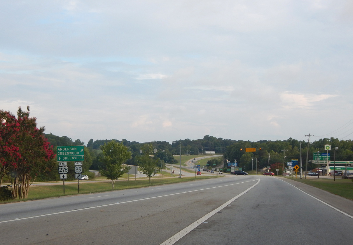
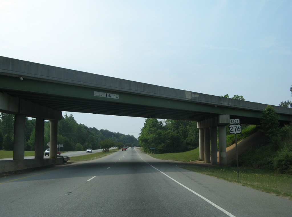
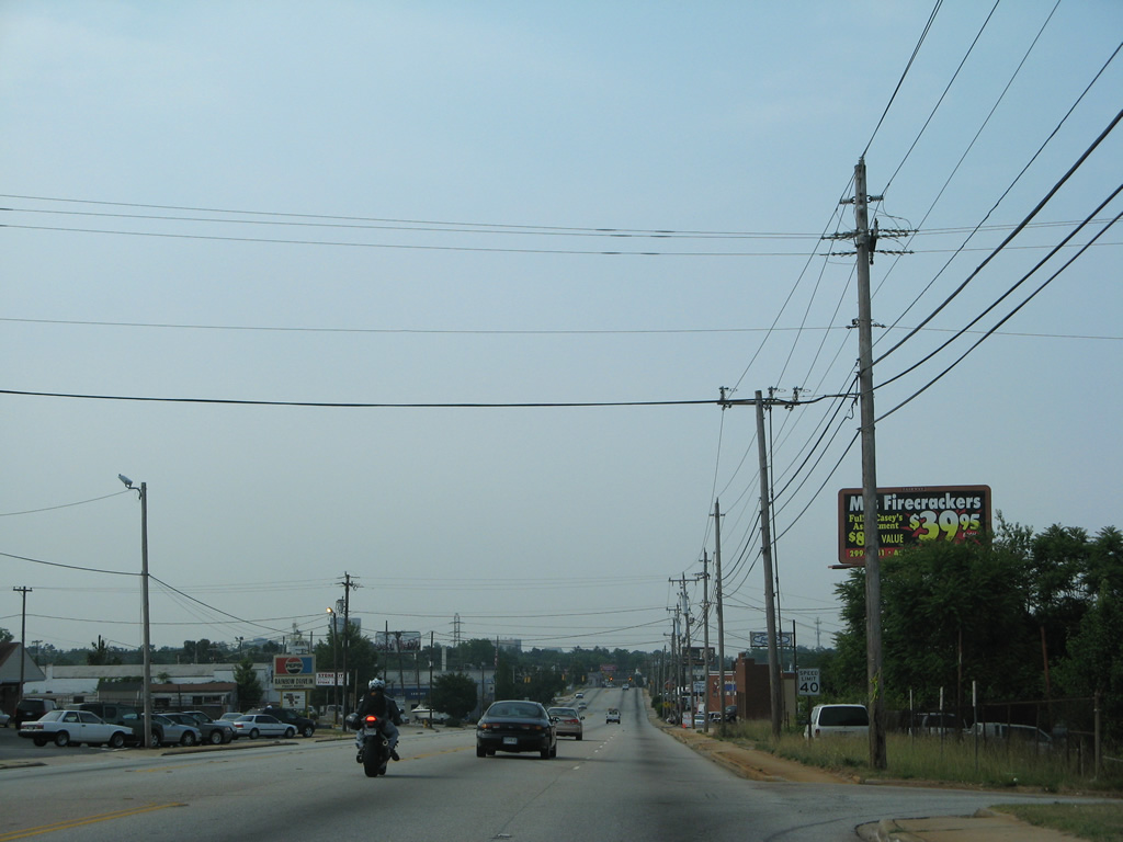
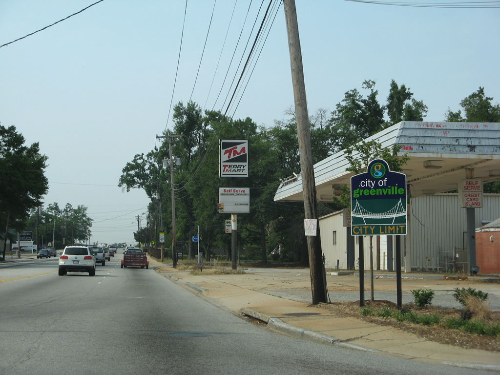
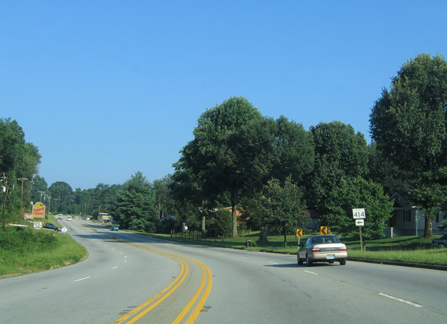
| S.C. 414 (Bates Crossing Road) concludes a 17.26 mile course at U.S. 276 west from Tigerville and S.C. 14 south of Gowensville. 07/23/04 |
|
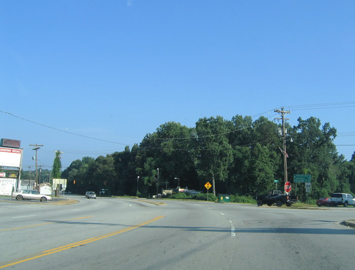
| Entering the intersection with Center Street east and McElhaney Road west on U.S. 276 (Main Street) east in Travelers Rest. Center Street connects U.S. 276 with Poinsett Highway (unsigned U.S. 25 Connector) north to U.S. 25. The U.S. 276 shield pictured here was removed and span wire traffic lights here upgraded to mast-arm assemblies. 07/23/04 |
|
| Poinsett Highway, the former alignment of U.S. 25, angles southwest to intersect U.S. 276 (Main Street) at the next signal. State Park Road splits from U.S. 25 Connector nearby, joining Travelers Rest with Little Texas and Paris Mountain State Park. 07/23/04 |
|
| U.S. 276 (Main Street) and U.S. 25 converge in south Travelers Rest at a wye interchange. 07/23/04 |
|
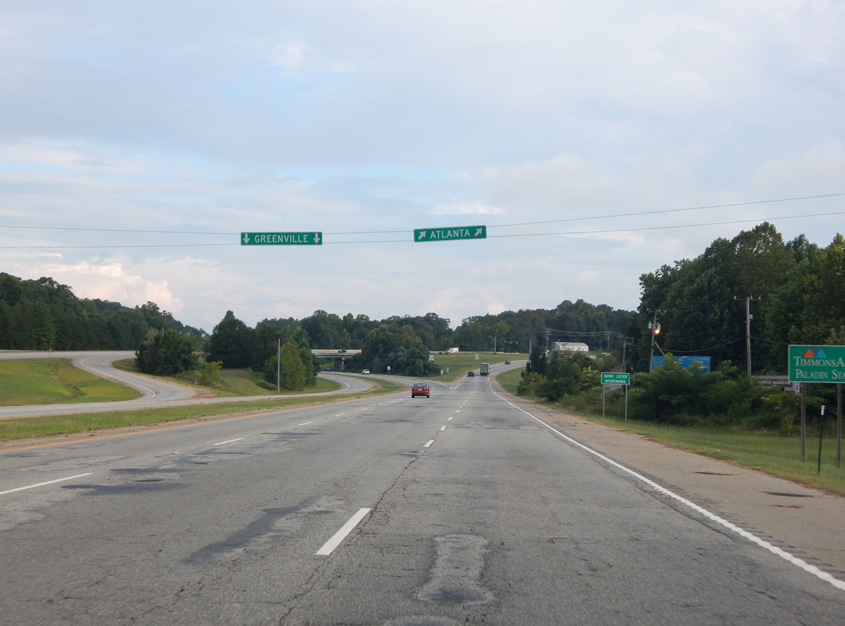
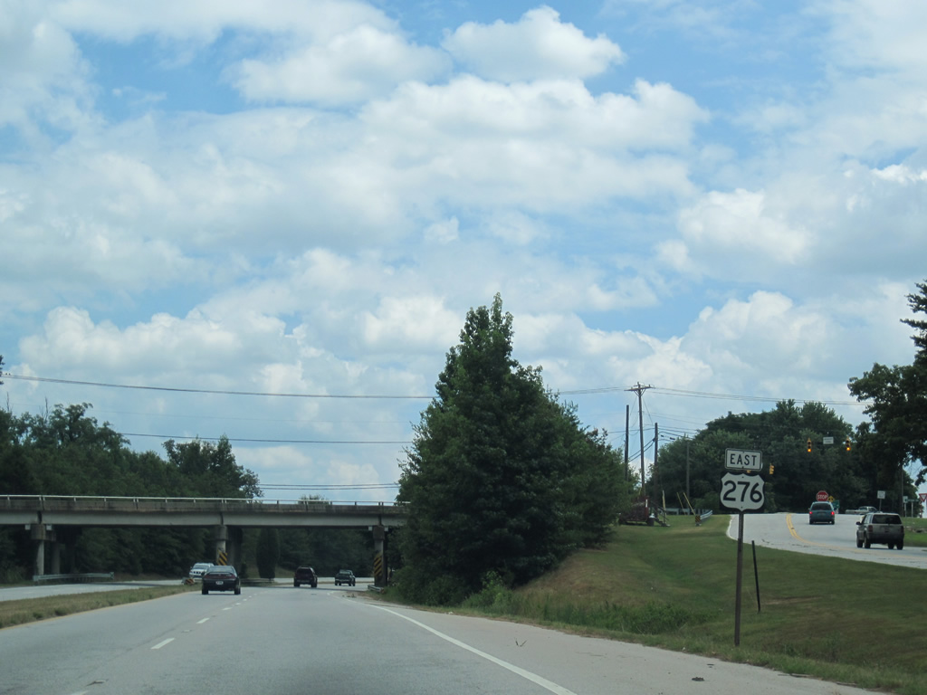
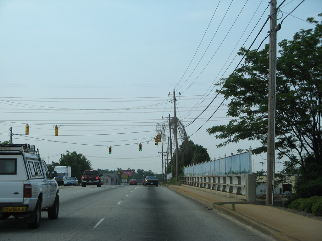
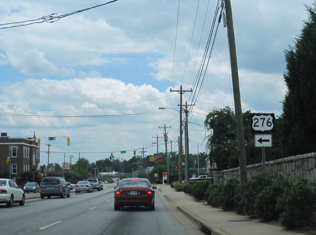
| Eastbound U.S. 276 combines with U.S. 25 south for 0.34 miles in southern reaches of Travelers Rest. Edwards Street ties into the two routes from parallel Old Buncombe Road. 08/04/16 |
|
| U.S. 25 links I-26 south from Asheville, North Carolina to Atlanta, Georgia via Interstate 85 south from Greenville. 08/04/16 |
|
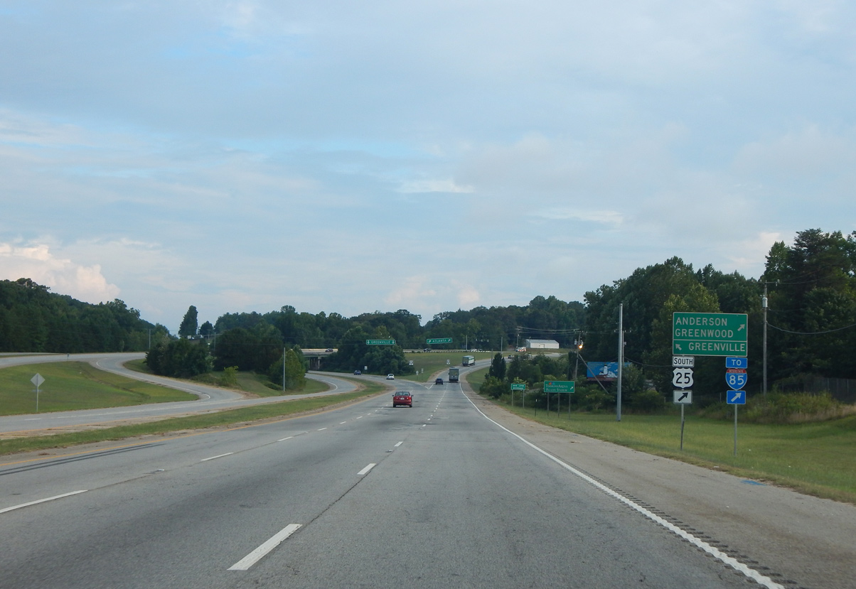
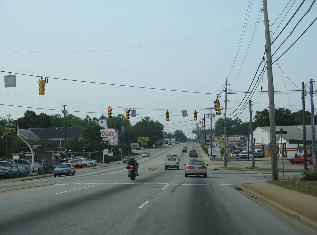
| U.S. 25 shifts westward from U.S. 276 at Travelers Rest along an arterial bypass of Greenville. Travelers headed to I-85 are directed onto U.S. 25 south for I-185/U.S. 29. 08/04/16 |
|
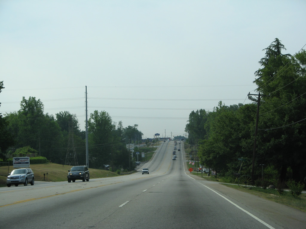
| U.S. 25 continues with two lanes southwest to the Berea area and White Horse en route to Greenwood while U.S. 276 overtakes Poinsett Highway southward to Furman University, Brutontown in Greenville and Rutherford Street to Downtown Greenville. 08/04/16 |
|
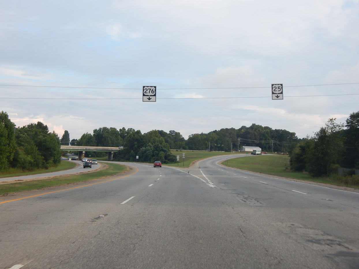
| U.S. 276 east and U.S. 25 south separate at a wye interchange. 08/04/16 |
|
| Downtown Greenville lies seven miles south of U.S. 25 via U.S. 276 (Poinsett Highway) and Rutherford Street. 05/31/07 |
|
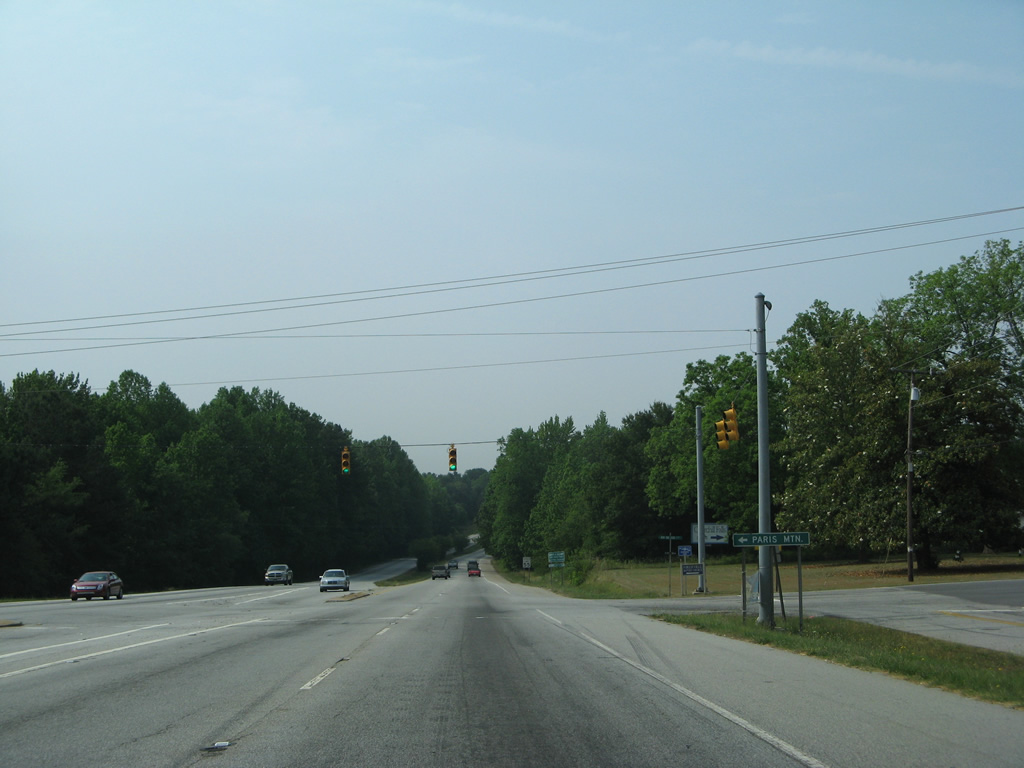
| Roe Ford Road east and Old Buncombe Road (old U.S. 276) north come together at the ensuing traffic light south of U.S. 25. Accessible from the east side frontage road and Altamont Road, Paris Mountain rises nearby. 05/31/07 |
|
| U.S. 276 follows an expressway between the intersections with Old Buncombe Road by Furman University. A trumpet interchange joins the stretch with the main entrance to Furman University, 0.75 miles south of Roe Ford Road. 05/31/07, 07/23/04 |
|
| Old Buncombe Road converges with U.S. 276 (Poinsett Highway) at a diamond interchange south of Furman University. Shifting to the west of U.S. 276, Old Buncombe Road heads three miles south to Sans Souci north of Greenville. 05/31/07 |
|
| U.S. 276 (Poinsett Highway) transitions into a five lane commercial boulevard southeast from Bruce Lake. 05/31/07 |
|
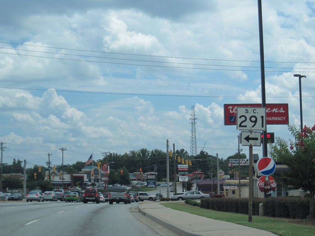
| U.S. 276 (Poinsett Highway) east at Blue Ridge Drive west and S.C. 291 (Pleasantburg Drive) south. S.C. 291 encircles eastern reaches of Greenville along a five lane boulevard between U.S. 276 and U.S. 25 (White Horse Road). The arterial is heavily commercialized with numerous traffic signals. 07/10/10 |
|
| South from Cherrydale Point shopping center, U.S. 276 spans a CSX Railroad line through an industrial area at Furman Hall Road. 05/31/07 |
|
| Loop Street stems east from U.S. 276 at the south end of a Norfolk Southern Railroad underpass. 05/31/07 |
|
| Hammett Street and Henry Street come together at an angled intersection with U.S. 276 (Poinsett Highway) at the Park Place community. 05/31/07 |
|
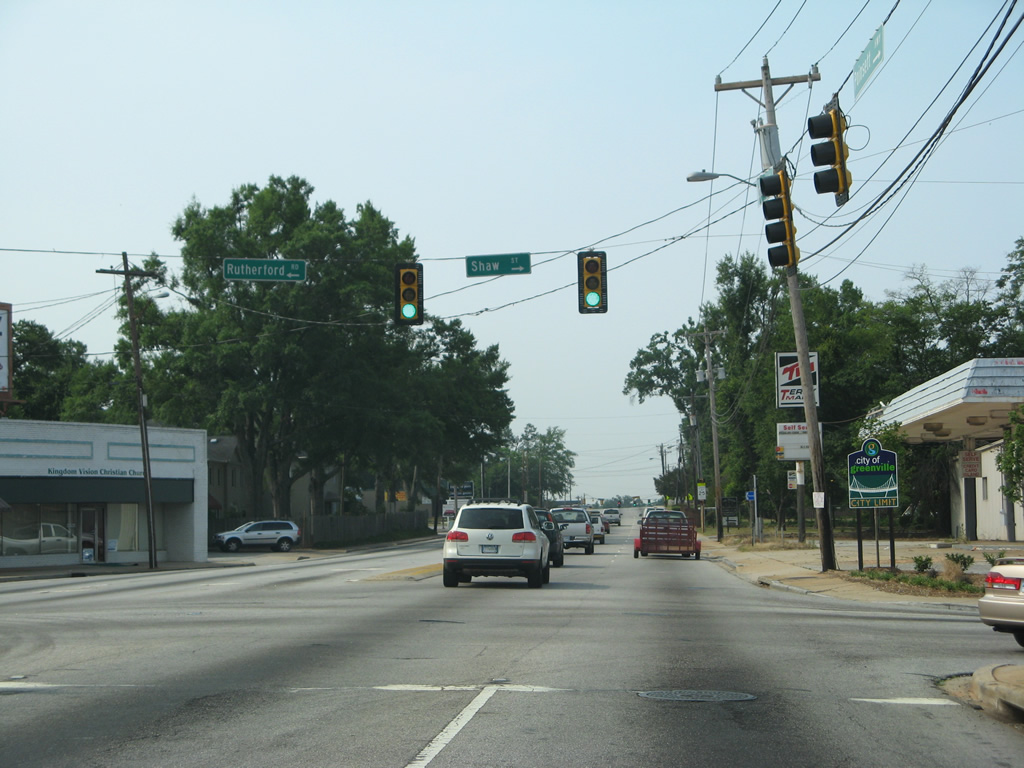
| Rutherford Road leads southwest from S.C. 291 (Pleasantburg Drive) through the Brutontown neighborhood in Greenville to merge with U.S. 276 at Shaw Street. 05/31/07 |
|
| Motorists along U.S. 276 (Rutherford Street) east formally enter the Greenville city limits south of Shaw Street. 05/31/07 |
|
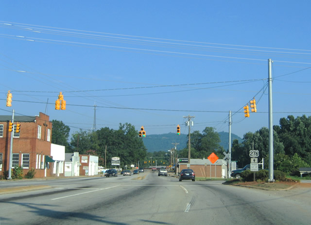
| U.S. 276 turns east onto Stone Avenue at the Viola Street neighborhood to circumvent the Greenville central business district. Rutherford Street (former U.S. 25 Business) continues south to Buncombe Street (S.C. 183) and Downtown. 07/10/10 |
|
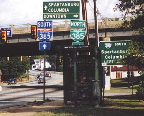
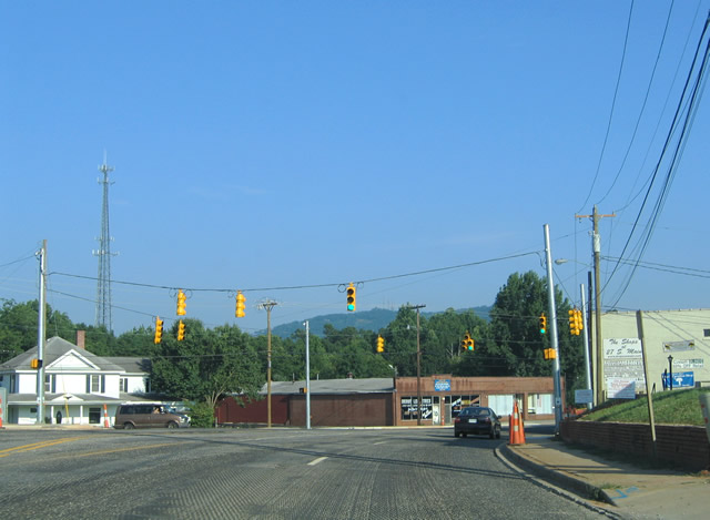
| Stone Avenue winds south from the Greenline-Spartanburg neighborhood to cross paths with I-385 south and Business Spur I-385 north at a diamond interchange. Posted at the exchange until Fall 2003 were the only signs for Business Spur I-385. The business route extends from the freeway westward along East North Street to U.S. 29 (Church Street) at Downtown. 06/23/00 |
|
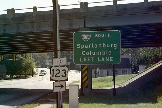
| A button copy guide sign preceded the left turn for I-385 south to I-85 and Mauldin. This interchange was rebuilt during the 2001-04 widening project of I-385. Freeway style guide signs, Business Spur I-385 shields and this U.S. 123 trailblazer for North Street west to Academy Street were removed during construction. 10/15/01 |
|
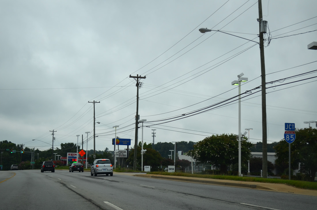
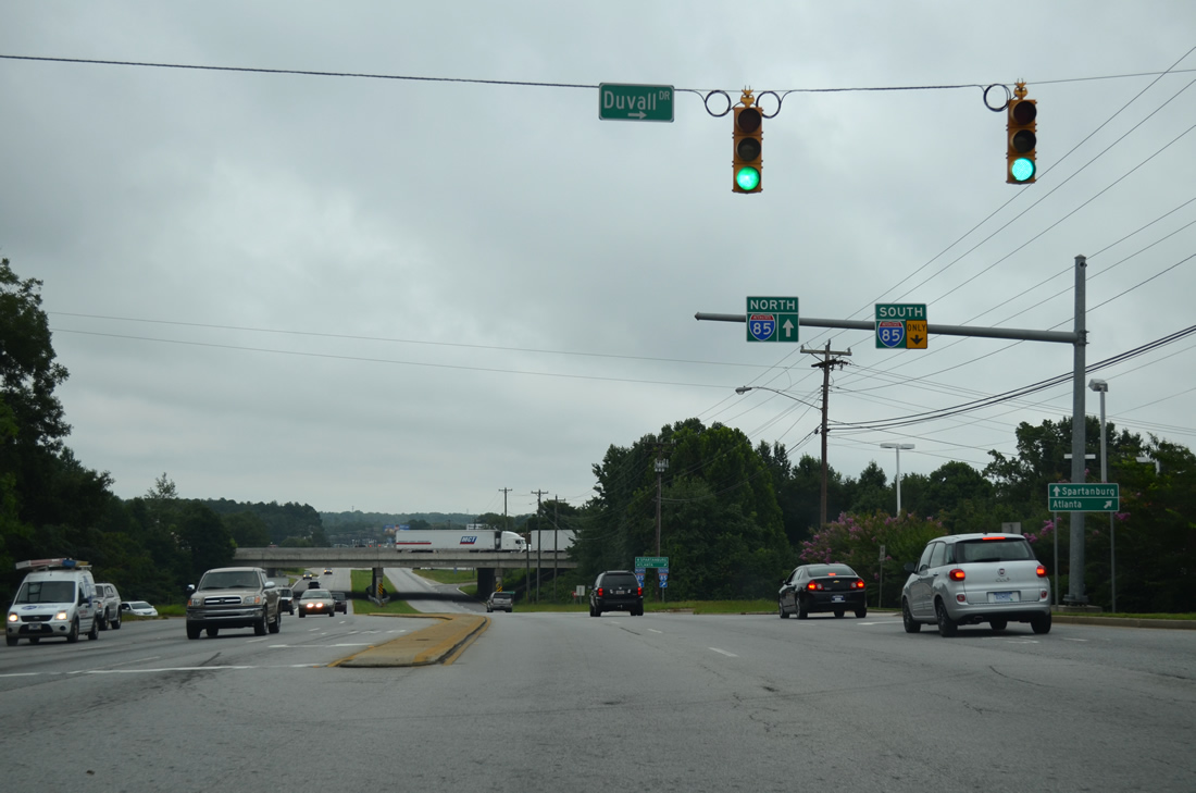
| Approaching the cloverleaf interchange with Interstate 85 on U.S. 276 (Laurens Road) east at Duvall Drive. Future construction will eliminate the loop ramps at I-85. 08/07/13 |
|
| Duvall Drive leads west from U.S. 276 (Laurens Road) as a frontage road for I-85 to Parkins Mill Road. The southbound entrance ramp follows for Atlanta, Georgia. 08/07/13 |
|
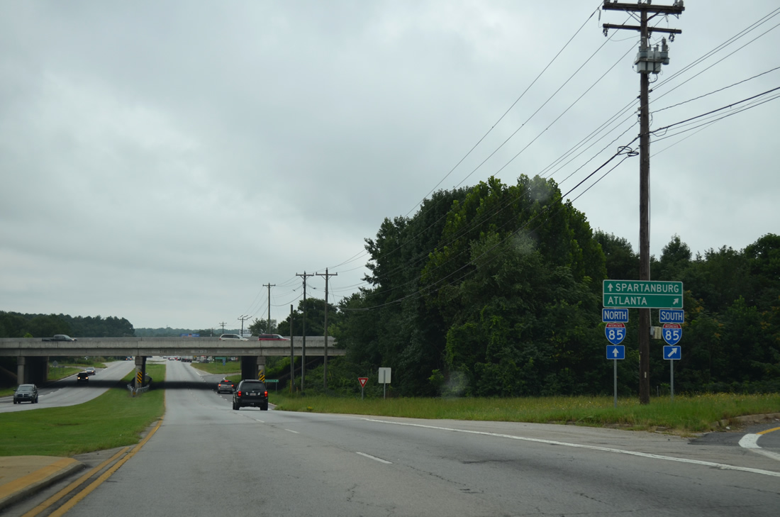
| Interstate 85 passes through southern reaches of the Greenville city limits to S.C. 291 (Pleasantburg Drive) on the drive to Atlanta. Eastward, the freeway continues to Spartanburg. 08/07/13 |
Page Updated 08-26-2019.

 East
East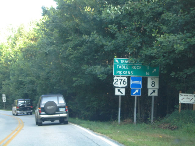
 South
South