Part of a Virginia Scenic Byway, State Route 6 originates in the Blue Ridge Mountains from U.S. 250 near Afton. Initially traveling south, SR 6 combines with SR 151 for 6.22 miles from Avon into Rockfish Valley. SR 6 connects with U.S. 29 (Thomas Nelson Highway) south of Hills Mountain at Woods Mill. The two routes overlap 3.94 miles east and partition ahead of Faber. The rural highway continues to Scottsville, Fluvana County and Goochland.
Approaching the Richmond suburbs east of Manakin, SR 6 lines Patterson Avenue to Tuckahoe in Henrico County. Turning southeast, SR 6 enters the capital city at the Three Chopt neighborhood. Crossing I-195 (Beltline Expressway), SR 6 shifts onto Kensington Avenue through the Museum District. The 102.26 mile long highway concludes at SR 161 (Arthur Ashe Boulevard).
Prior to 1989, SR 6 followed what is now SR 151 (Critzer Shop Road) northeast from Avon to Critzer Shop and U.S. 250 and SR 151 took Afton Mountain Road northwest to Afton and U.S. 250 near Rockfish Gap. The two routes switched places at that time.1
|
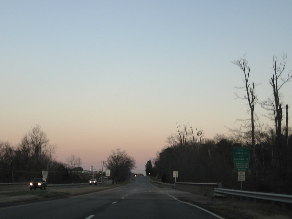
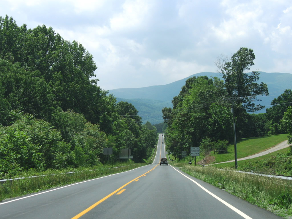
| SR 6 (Afton Mountain Road) eastbound initially heads southwest from U.S. 250 along a mountainous route to Afton. 06/05/05 |
|
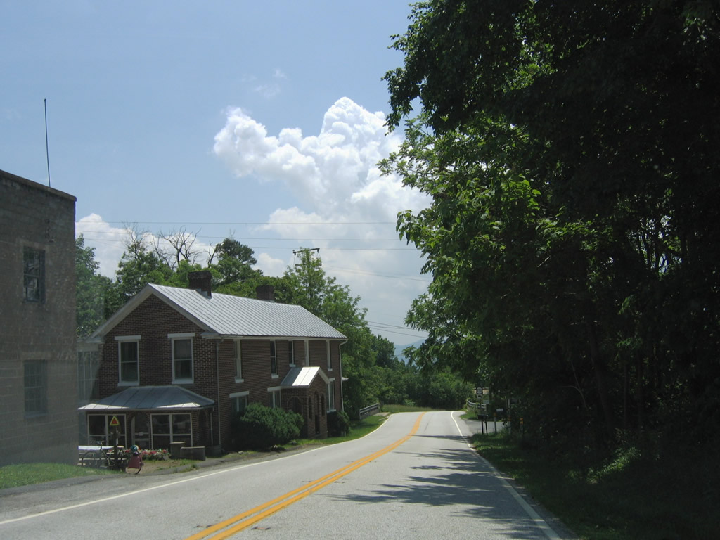
| Entering the community of Afton along SR 6 (Afton Mountain Road) east. The state route travels south to SR 750 (Old Turnpike Road), which leads east along Stockton Creek to U.S. 250 near SR 151 (Critzers Shop Road). 06/05/05 |
|
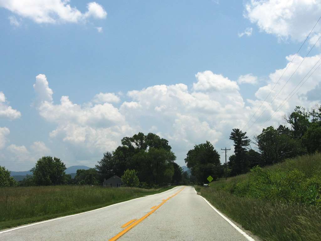
| Paralleling Williams Creek, SR 6 (Afton Mountain Road) proceed south from Afton by agricultural areas and vineyards. 06/05/05 |
|
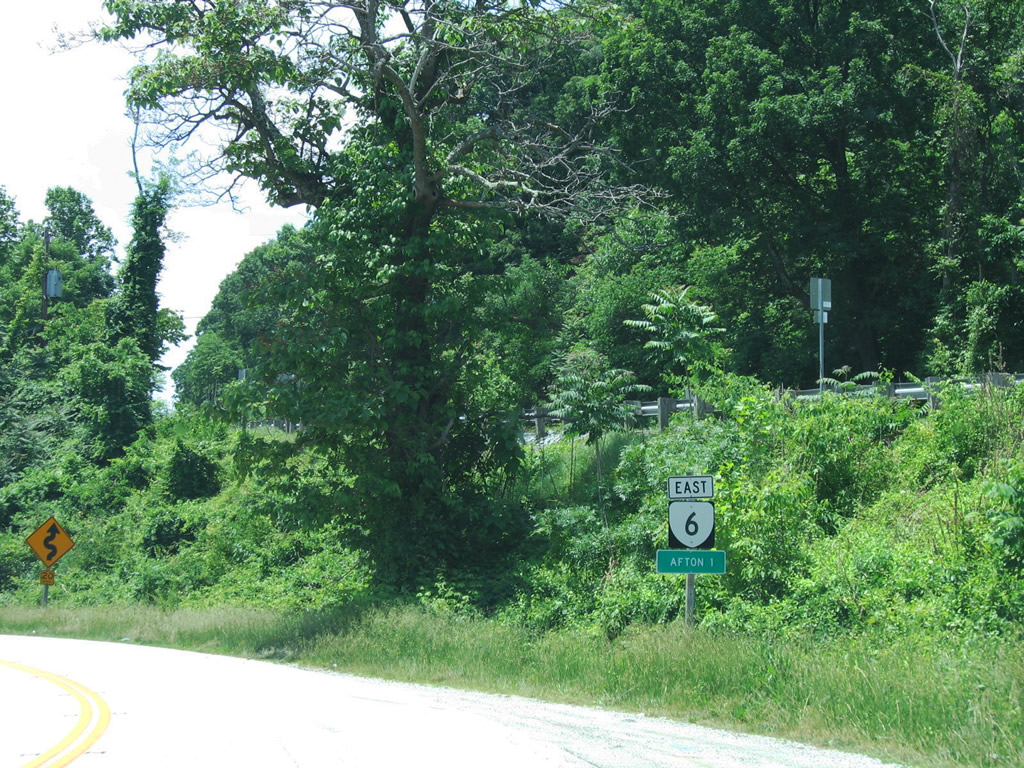
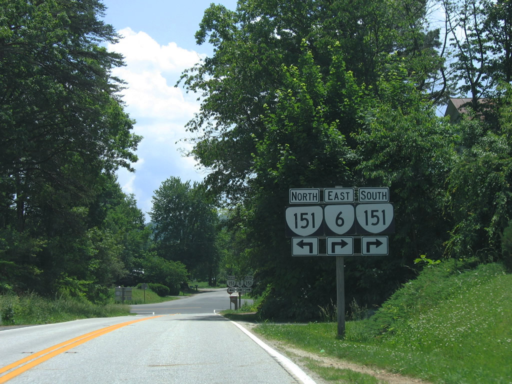
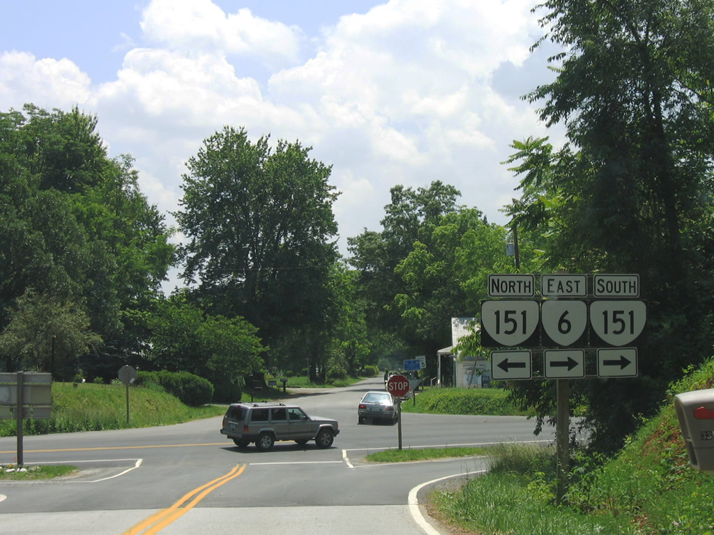
| SR 6 converges with SR 151 (Critzers Shop Road) at Avon. The two combine along Rockfish Valley Highway south. 06/05/05 |
|
| SR 151 (Critzer Shop Road) leads 2.52 miles northeast to U.S. 250 beyond Critzer Shop. Avon Road (SR 638) extends southeast from SR 6 (Afton Mountain Road) to Onan. 06/05/05 |
|
| SR 6/151 (Patrick Henry Highway) lower to cross Williams Creek south from Avon. Big Levels, Little Levels, Humpback Mountain and Crawford Knob rise along the southwestern horizon. 06/05/05 |
|
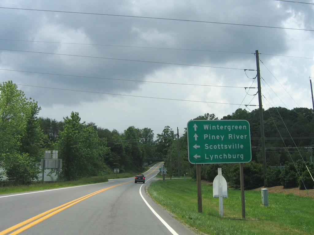
| SR 6/151 part ways just south of Greenfield in Rockfish Valley. SR 151 (Rockfish Valley Highway) continues southwest to Nellysford, Wintergreen and Roseland. 06/05/05 |
|
| SR 6 (River Road) parallels the Rockfish River south 5.79 miles to U.S. 29 at Woods Mill. Lynchburg and Scottsville are reached by continuing along U.S. 29 south and SR 6 east respectively. 06/05/05 |
|
| SR 151 reaches Piney River in 20 miles. The 35.22 mile long route concludes in 26 miles at U.S. 29 outside Amherst. 06/05/05 |
|
| Heading south through the scenic Rockfish Valley, SR 6 runs between McLean Mountain to the west and Pilot and Hills Mountains to the east. 06/05/05 |
|
| SR 6 (Pike Road) crosses the Rockfish River between Tidbit Trail (SR 6Y) and U.S. 29 (Thomas Nelson Highway) at Woods Mill. 06/05/05 |
|
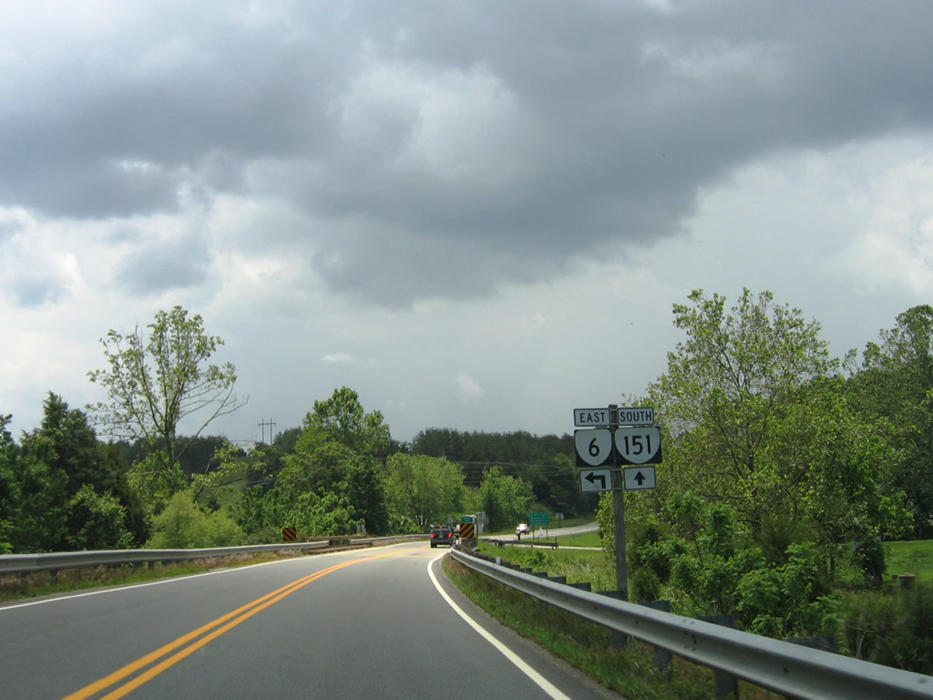
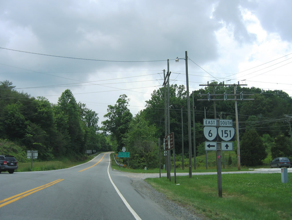
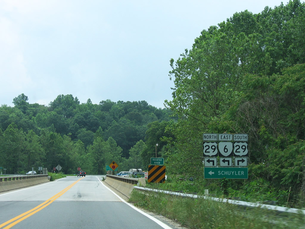
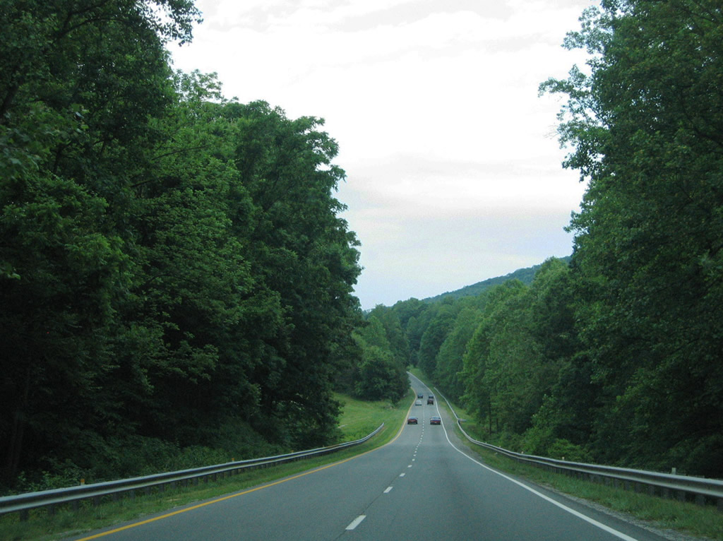
| U.S. 29/SR 6 combine eastward for 4.24 miles to Rock Spring Mountain. U.S. 29 represents the main corridor between Danville, Lynchburg and Charlottsville. 06/05/05 |
|
| U.S. 29/SR 6 travel 4.24 miles east from Woods Mill to a point east of Rock Spring Mountain. SR 6 continues to Scottsville while U.S. 29 resumes a northward course to Charlottesville. 05/30/05 |
|
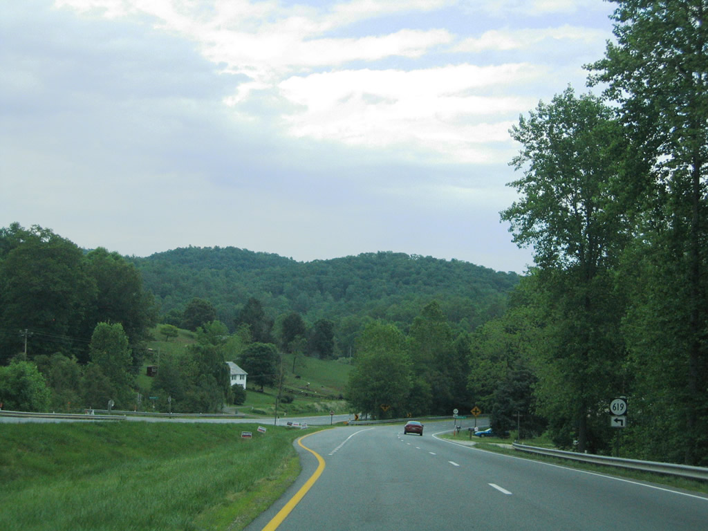
| SR 619 (Twin Poplars Loop) ventures north from U.S. 29/SR 6 (Thomas Nelson Highway) to Twin Poplars and Hills Mountain. 05/30/05 |
|
| U.S. 29/SR 6 widen to accommodate a tree lined median after the intersection with SR 617 (Rockfish River Road). Diggs Mountain lies to the north. 05/30/05 |
|
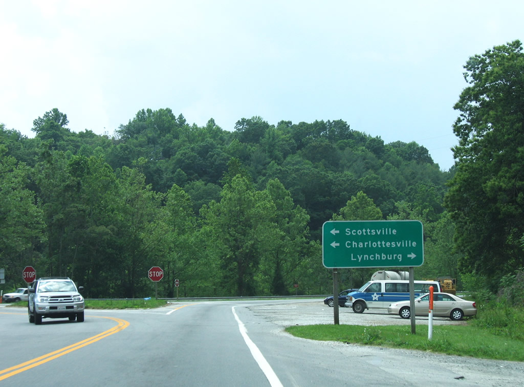
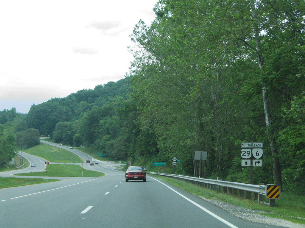
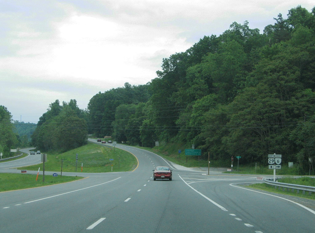
| Nearing the split of SR 6 (Irish Road) east from U.S. 29 (Thomas Nelson Highway) north. SR 616 (Hickory Creek Road) ventures north to Archer Mountain just ahead of the partition. 05/30/05 |
|
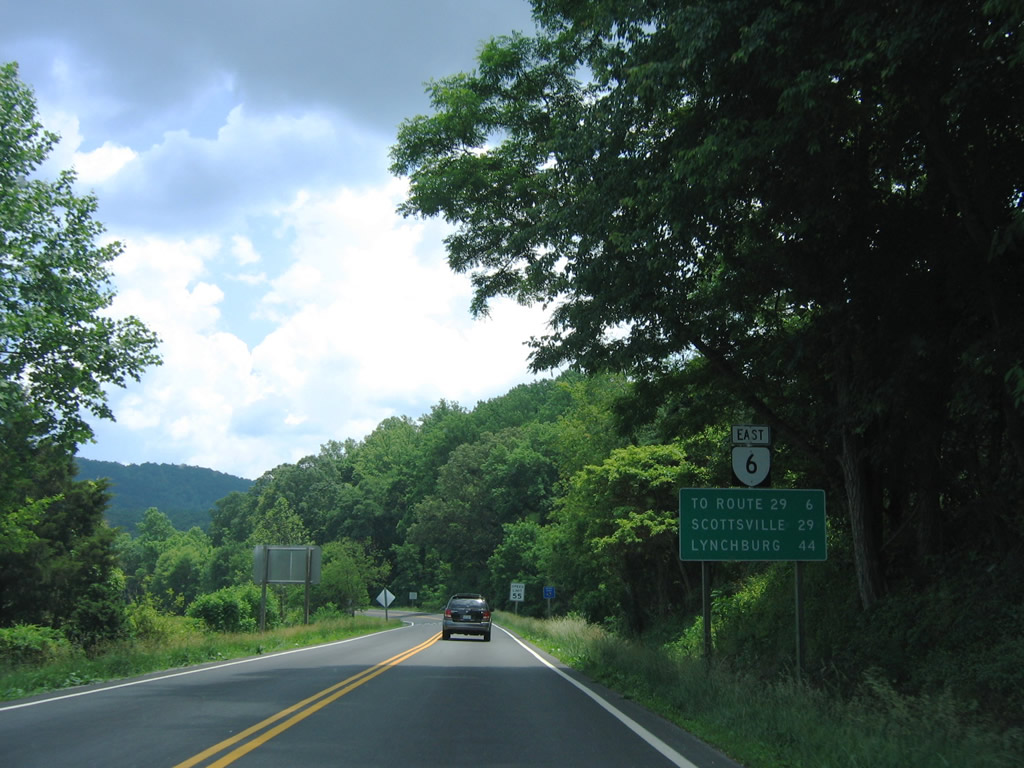
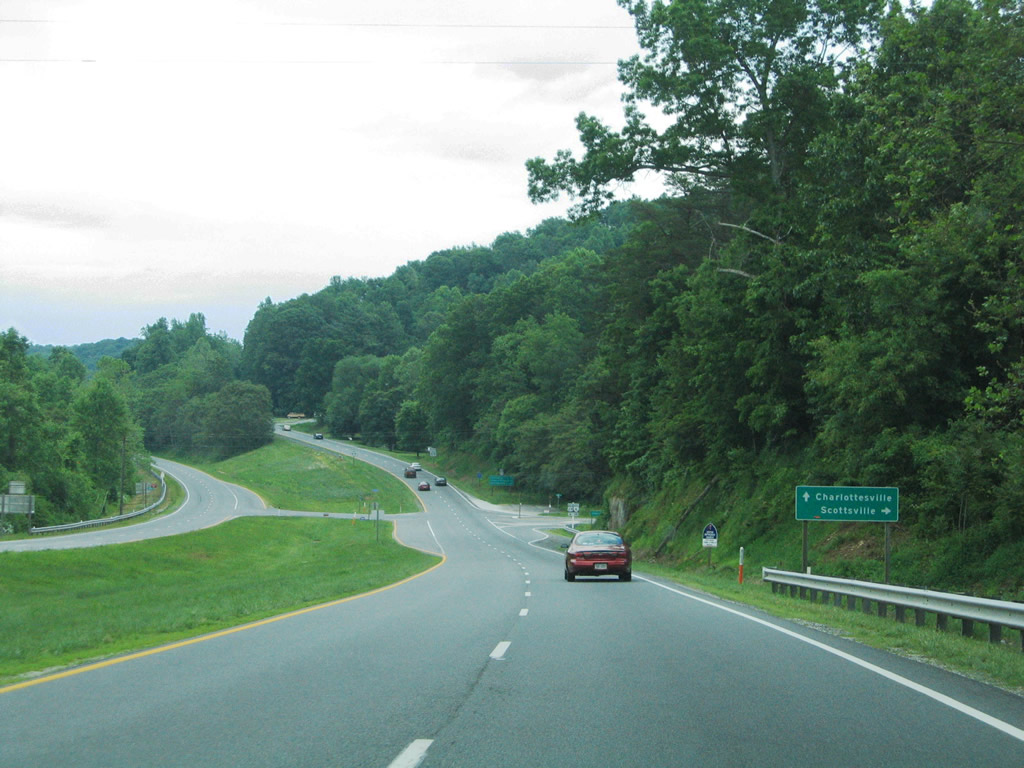
| SR 6 (Irish Road) advances 18 miles east to Faber and across Shiloth and Butler Mountains into Albemarle County to SR 20 at Scottsville. 05/30/05 |
|
| SR 6 continues east from U.S. 29 (Thomas Nelson Highway) and Scottsville ultimately to Richmond. 05/30/05 |
|
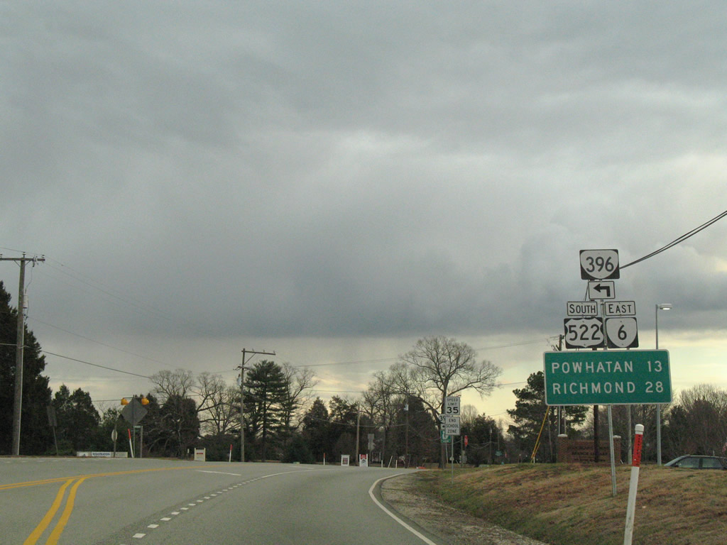
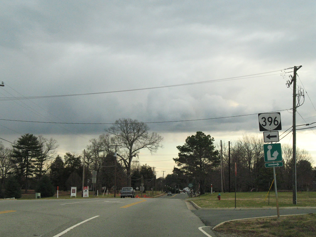
| SR 396 (Dickinson Road) arcs northeast between U.S. 522/SR 6 (River Road W) to SR 608 (Fairground Road). SR 396 serves the Western Campus of J. Sargeant Reynolds Community College. 12/26/06 |
|
| Southbound U.S. 522/SR 6 (River Road W) south at SR 396 (Dickinson Road) north. 12/26/06 |
|
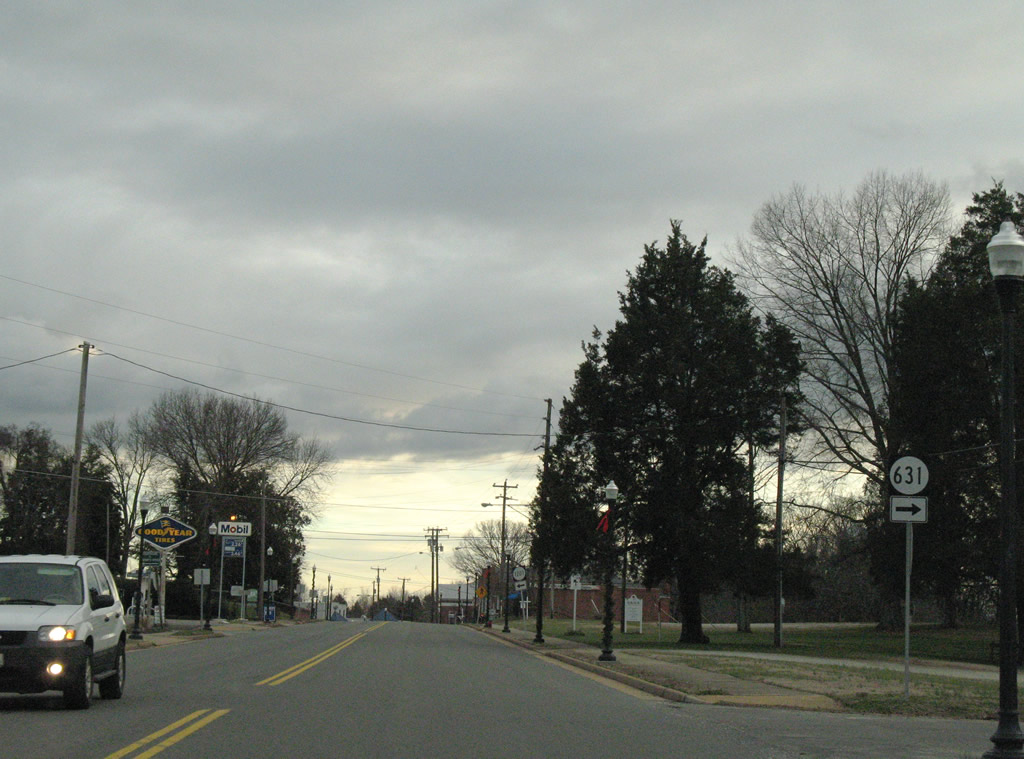
| Scott Road (SR 631) spurs west from U.S. 522/SR 6 (River Road W) in Goochland. 12/26/06 |
|
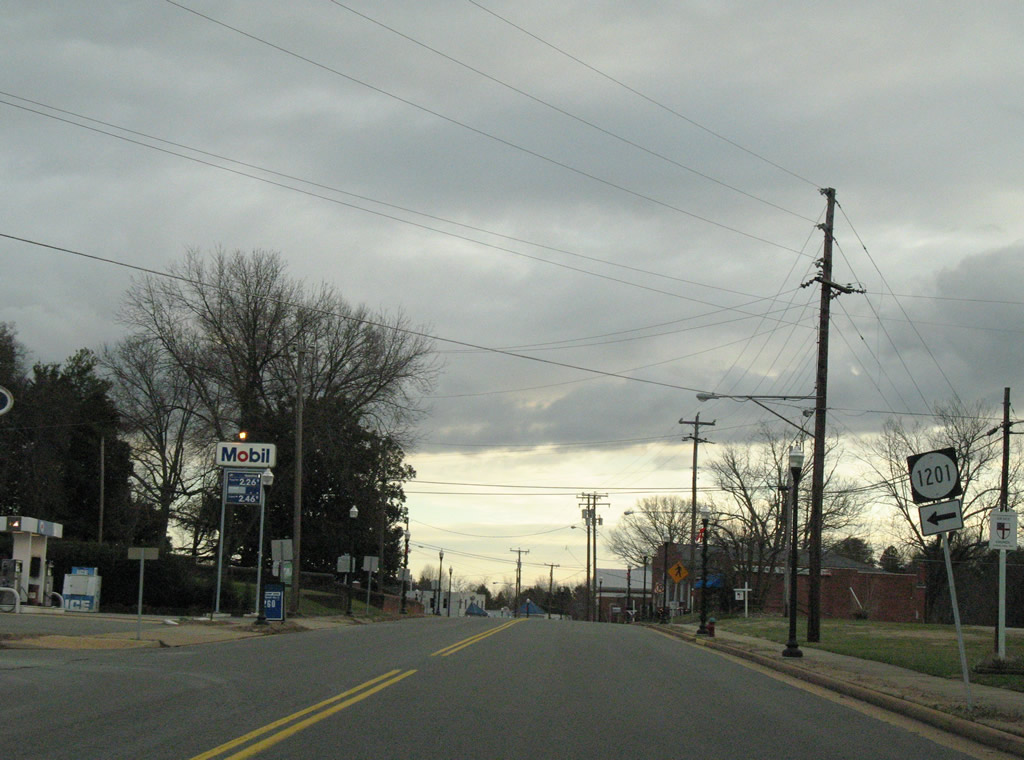
| SR 1201 follows Courthouse Circle east from U.S. 522/SR 6 (River Road W) within Goochland. 12/26/06 |
|
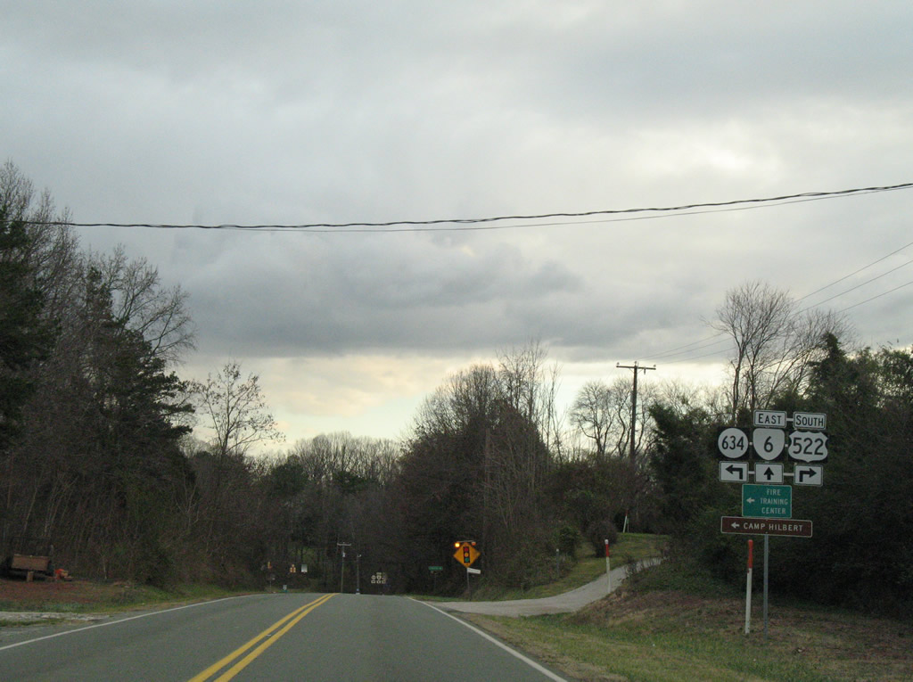
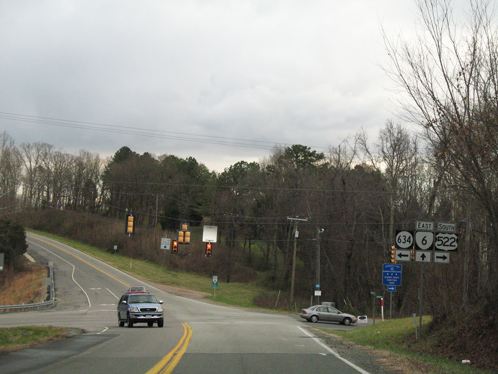
| South of Goochland at Maidens, U.S. 522 and SR 6 part ways at SR 634 (Maidens Road) north. U.S. 522 follows Maidens Road southwest to the Michaux Bridge; SR 6 straddles the James River valley eastward to Crozier and Richmond. SR 634 leads northeast to SR 632 (Fairground Road) and U.S. 250. 12/26/06 |
|
| SR 6 (River Road W) east reaches Crozier in five miles. U.S. 522 (Maidens Road) continues southwest nine miles to U.S. 60 outside Powhatan. 12/26/06 |
|
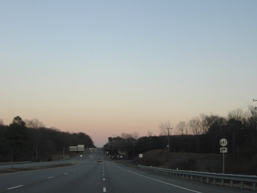
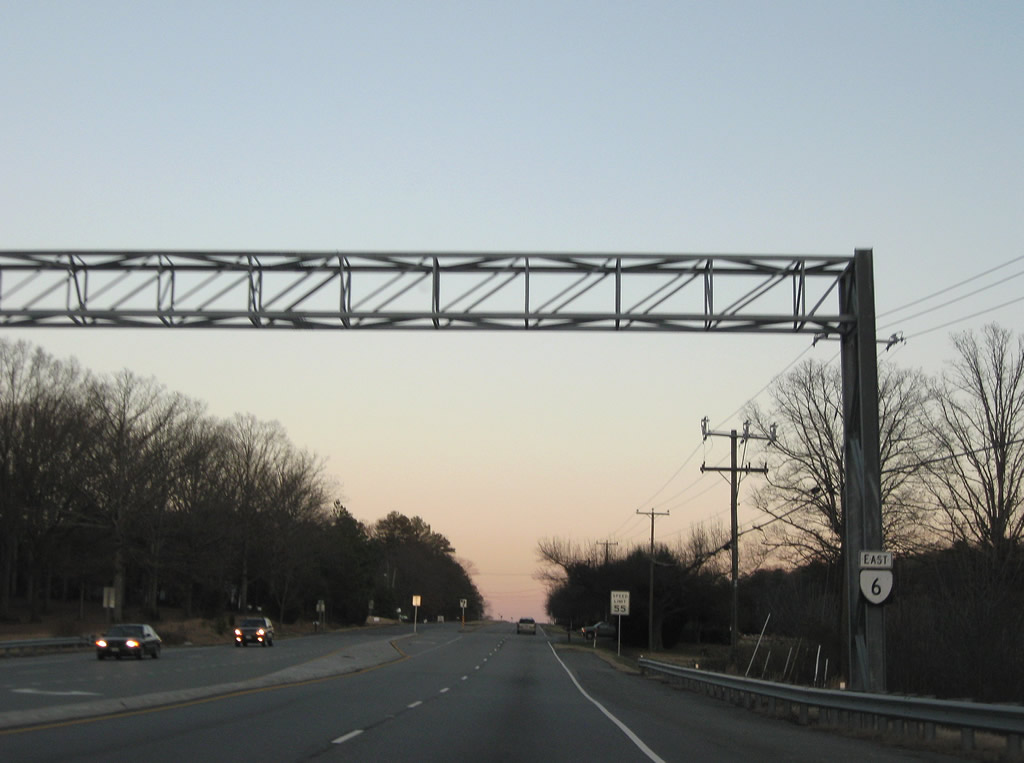
| SR 6 (Patterson Avenue) advances east from the cloverleaf interchange with SR 288 to intersect SR 647 (Pagebrooke Drive). Pagebrooke Drive leads south to River Road (SR 650). 12/21/08 |
|
| Confirming marker posted along Patterson Avenue east of SR 288 and SR 647 (Pagebrooke Drive). 12/21/08 |
|
| SR 6 spans Tuckahoe Creek, the county line between Goochland and Henrico Counties. 12/21/08 |
Sources:
- VA 6. Virginia Highways Page.
05/30/05, 06/05/05, 12/26/06, 12/21/08 by AARoads
Connect with:
U.S. 29
U.S. 250
U.S. 522
State Route 288
Page Updated 05-06-2021.


 North
North  East
East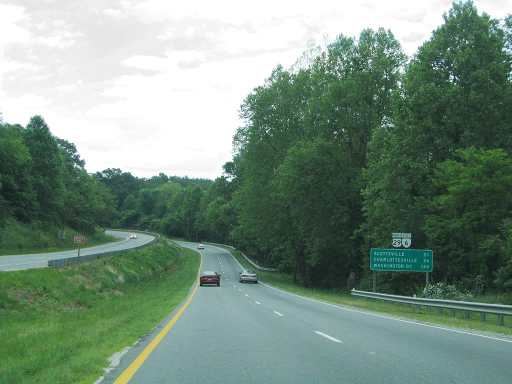
 South
South