
Traveling 30.00 miles overall, Virginia Route 106 originates from U.S. 460/460 Business just inside the independent city of Petersburg. Following Courthouse Road, SR 106 runs east to the Prince George County seat of Prince George and SR 156 (Prince George Drive). SR 106/156 overlap north along Ruffin Road to SR 10 (James River Drive), where the three routes combine east 0.73 miles to Jordan Point Road.
SR 106/156 continue north across the James River over the Benjamin Harrison Memorial Bridge between Jordan Point and Harrison Point. The two routes part ways at Kimages Hill, where SR 156 joins SR 5 (John Tyler Memorial Highway) west. SR 106 (Roxbury) advances through Charles City County to Roxbury and into New Kent County at the Chickahominy River. Passing south of Kent Lake, SR 106 angles northeast to Interstate 64 and concludes at SR 249 (New Kent Highway) and SR 609 (Old Church Road) in Tallysville.
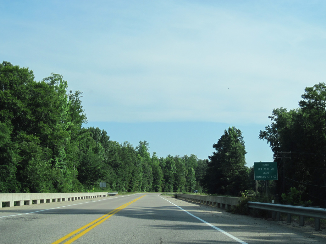
SR 106 (Roxbury Road) heads north from Roxbury across the Chickahominy River into New Kent County.
06/25/10
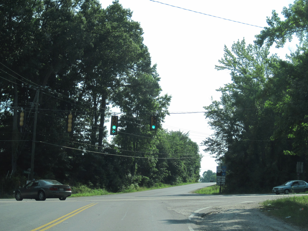
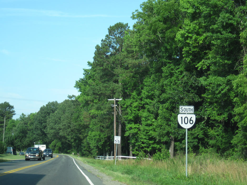
SR 106 (Roxbury Road) continues 0.91 miles north from the Charles City County line to meet U.S. 60 (Pocahontas Trail).
06/25/10
U.S. 60 travels east to Providence Forge, Lenexa and Williamsburg and west to Bottoms Bridge, Sandston and Richmond.
06/25/10
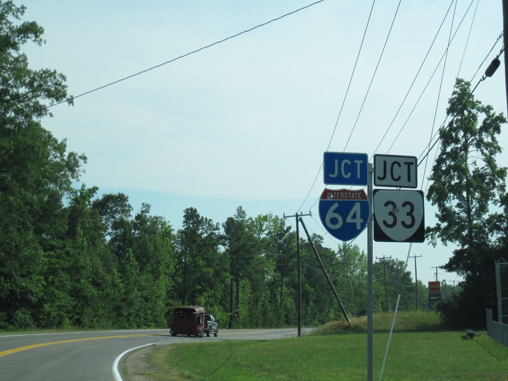
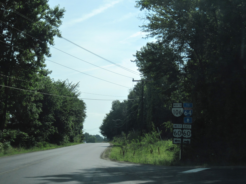
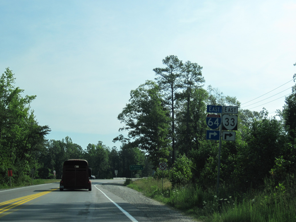
SR 106 (Emmaus Church Road) advances 3.04 miles northeast from U.S. 60 to a diamond interchange with I-64/SR 33.
06/25/10
06/25/10
06/25/10
SR 106 (Roxbury Road) south of U.S. 60 (Pocahontas Trail).
06/25/10
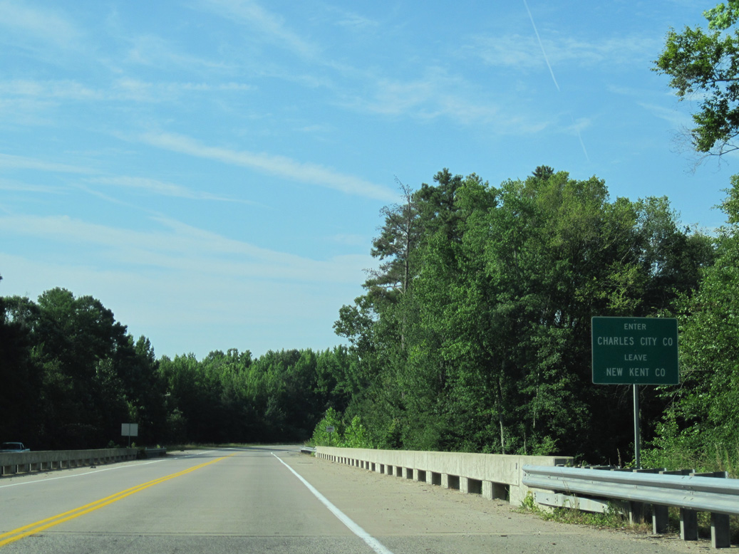
Spanning the Chickahominy River, SR 106 (Roxbury Road) enters Charles City County.
06/25/10
Photo Credits:
06/25/10 by AARoads
Connect with:
Interstate 64
U.S. 60
U.S. 460
State Route 10
Page Updated 04-22-2021.