
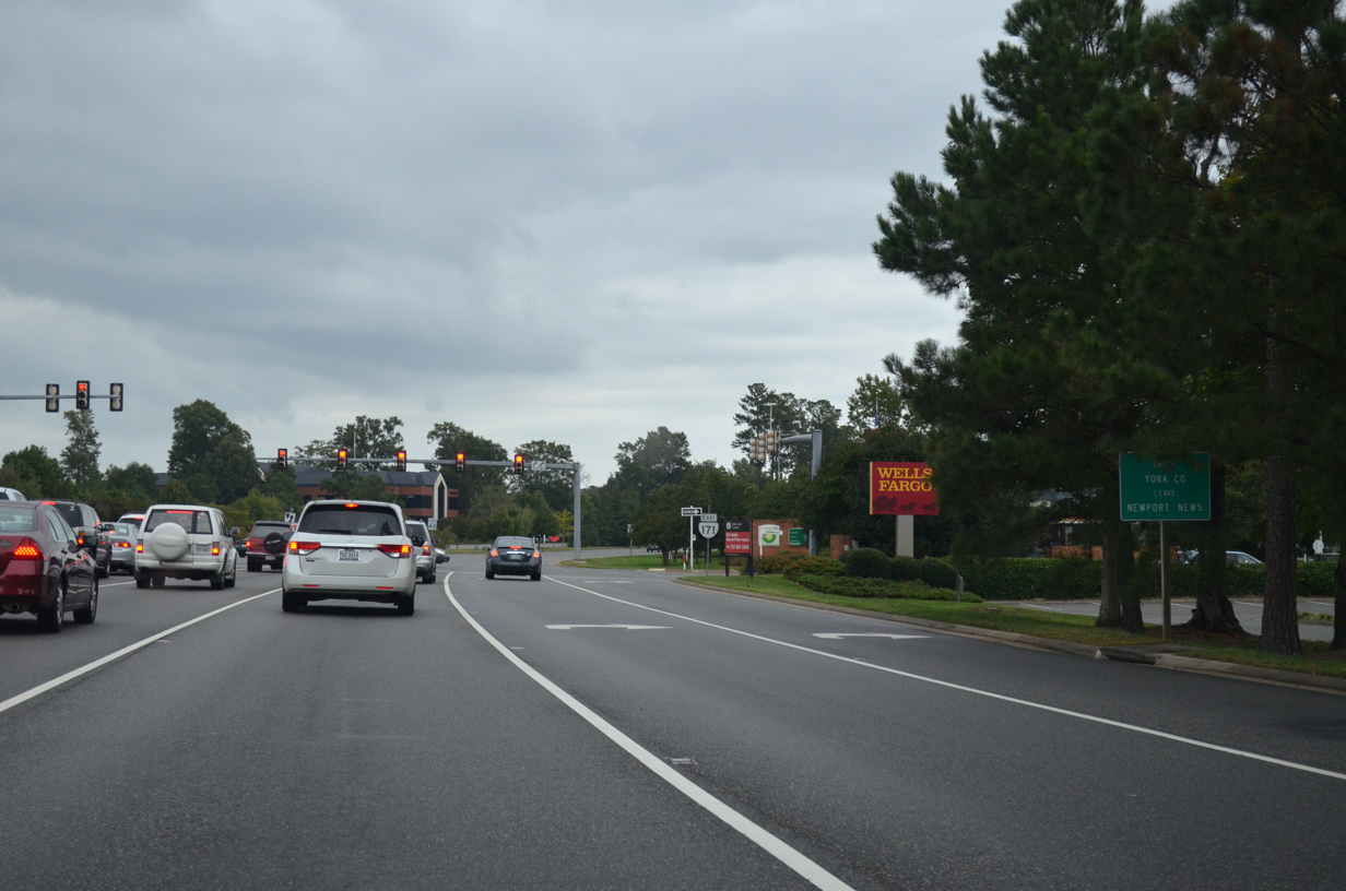
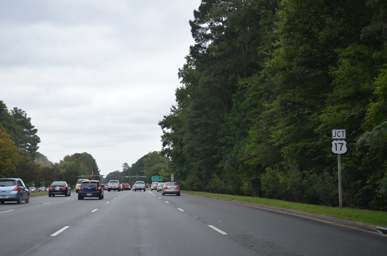
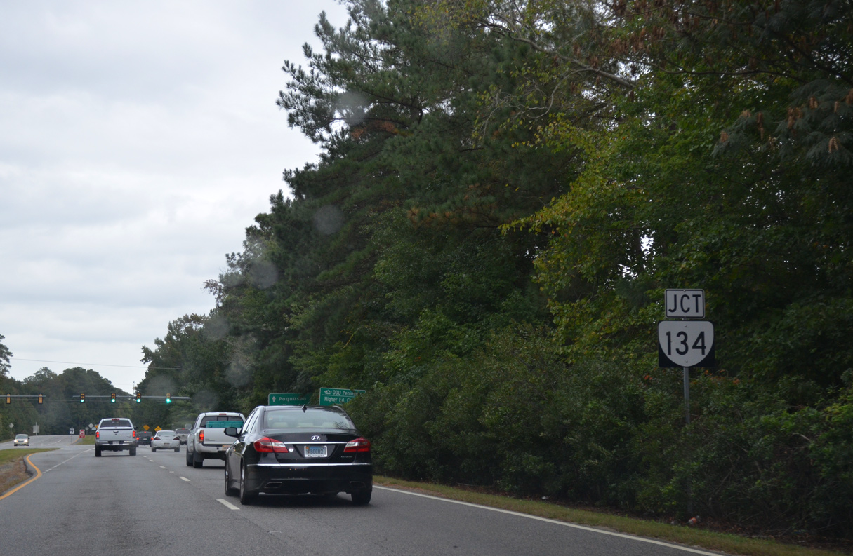
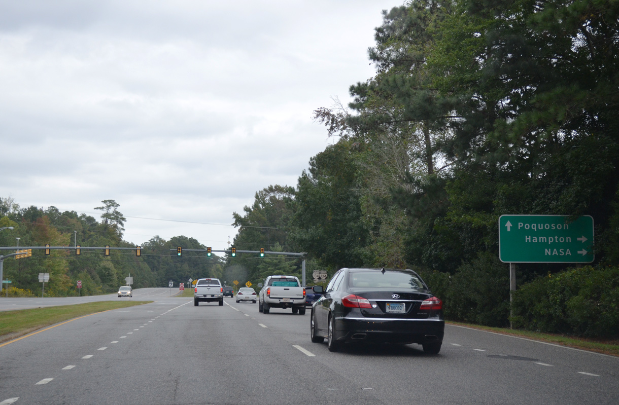
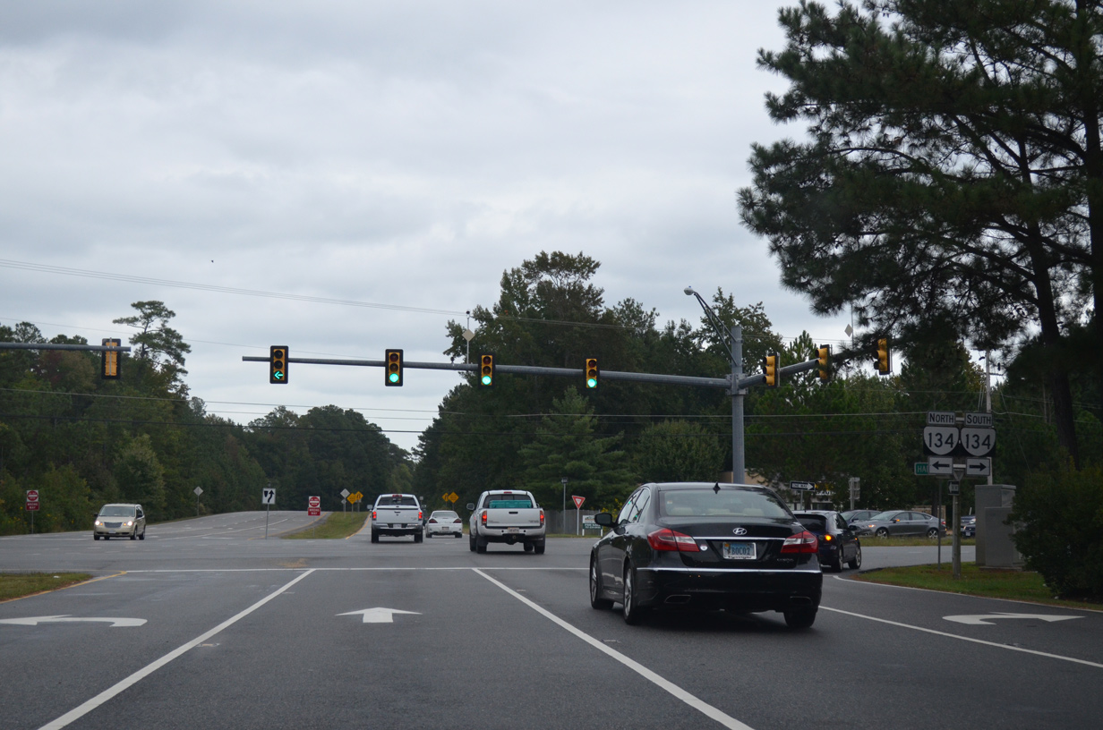
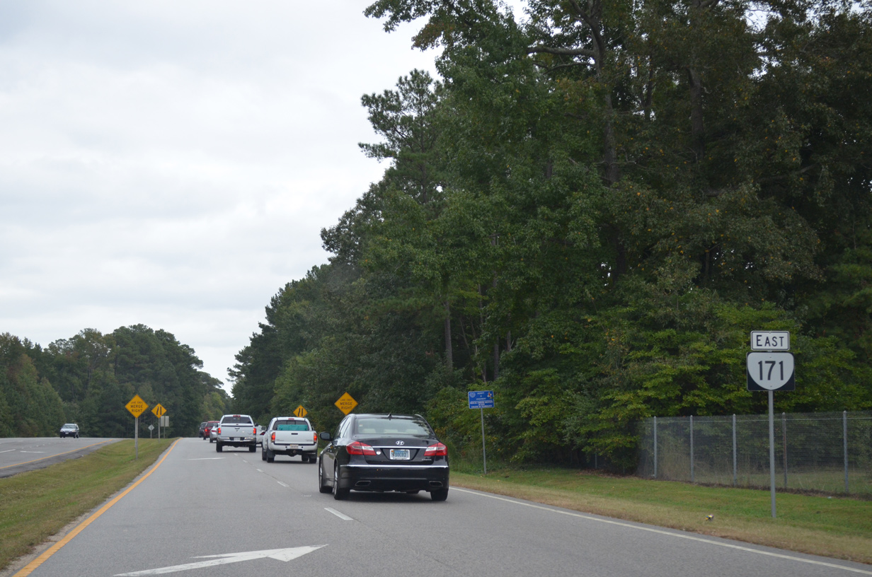
Virginia Route 171 runs 11.19 miles east from SR 143 (Jefferson Avenue) at Oyster Point in the city of Newport News to Messick Point along the Back River in the independent city of Poquoson. The stretch along Oyster Point Road from Jefferson Avenue east to the cloverleaf interchange with Interstate 64 is unsigned. Continuing east along Victory Boulevard, SR 171 enters York County where it meets U.S. 17 (George Washington Memorial Highway) and SR 134 (Hampton Highway) at the community of Taft. Victory Boulevard extends east to SR 172 (Wythe Creek Road) in Poquoson with two lanes along a right of way wide enough to accommodate four lane expansion.
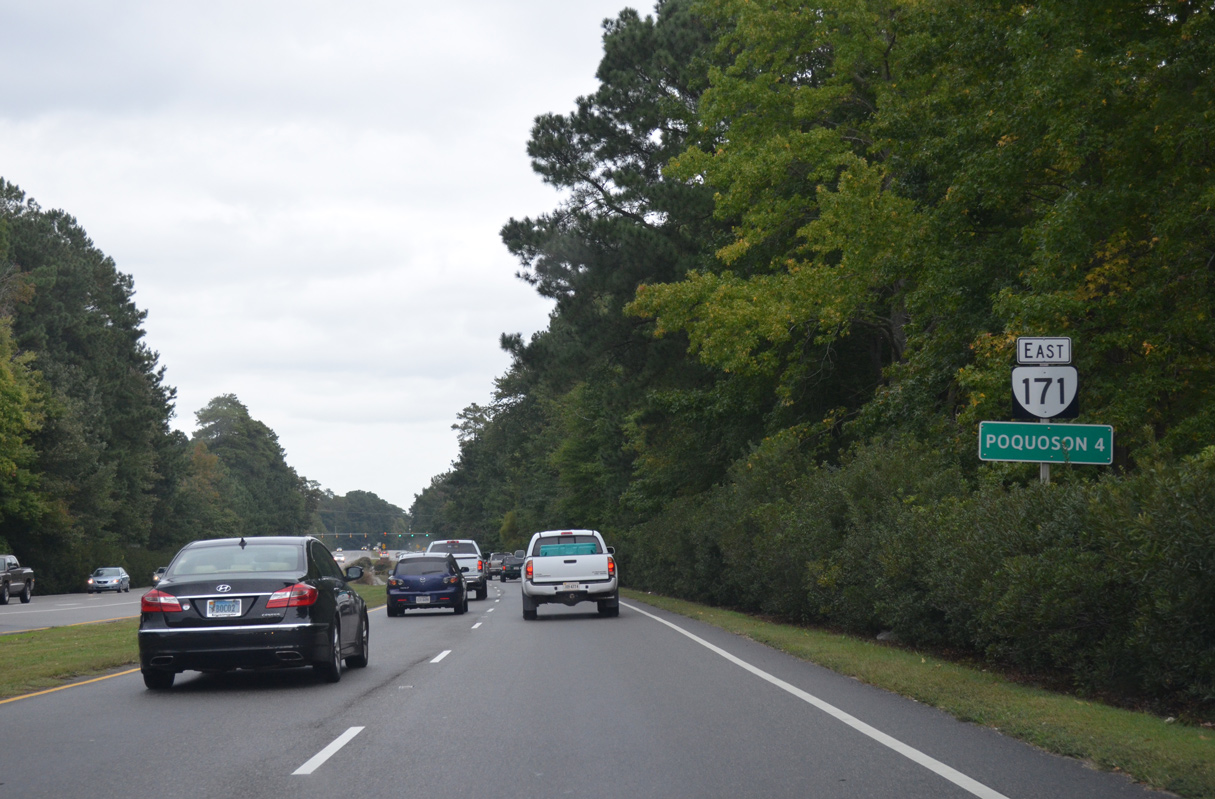
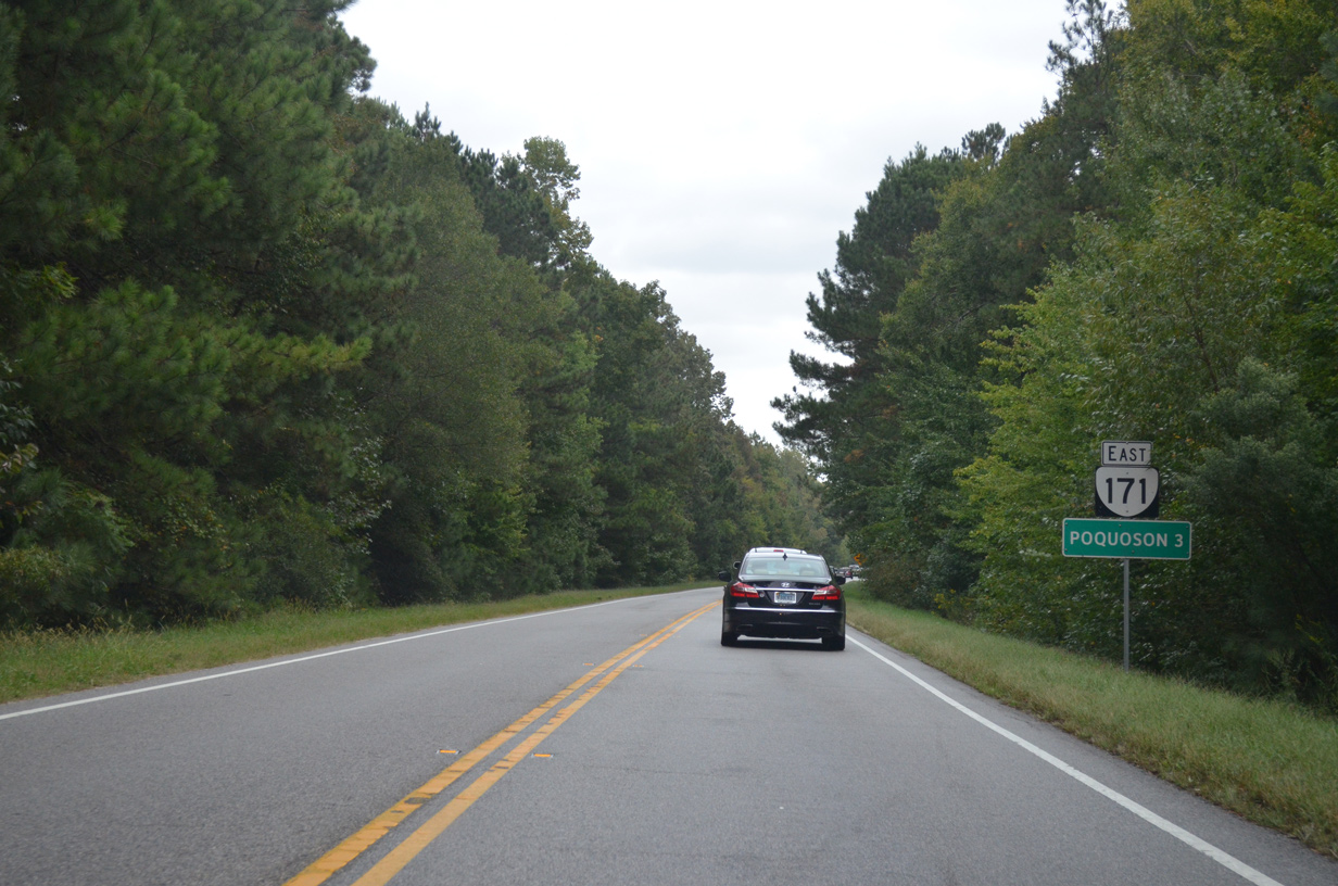
SR 171 east from SR 172 (Wythe Creek Road) follows Little Florida Road east 1.44 miles to Poquoson Avenue, and Poquoson Avenue 1.67 miles to Messick Road. Messick Road carries the remainder of the route southeast to Big Salt Marsh and Plum Tree Island National Wildlife Refuge. SR 171 is unsigned within the Poquoson city limits.
Prior to the construction of Victory Boulevard west from Calthrop Neck Road (SR 600) to Interstate 64, SR 171 followed Yorktown Road (SR 706) to SR 134 (Hampton Highway) at Tabb.
 East
East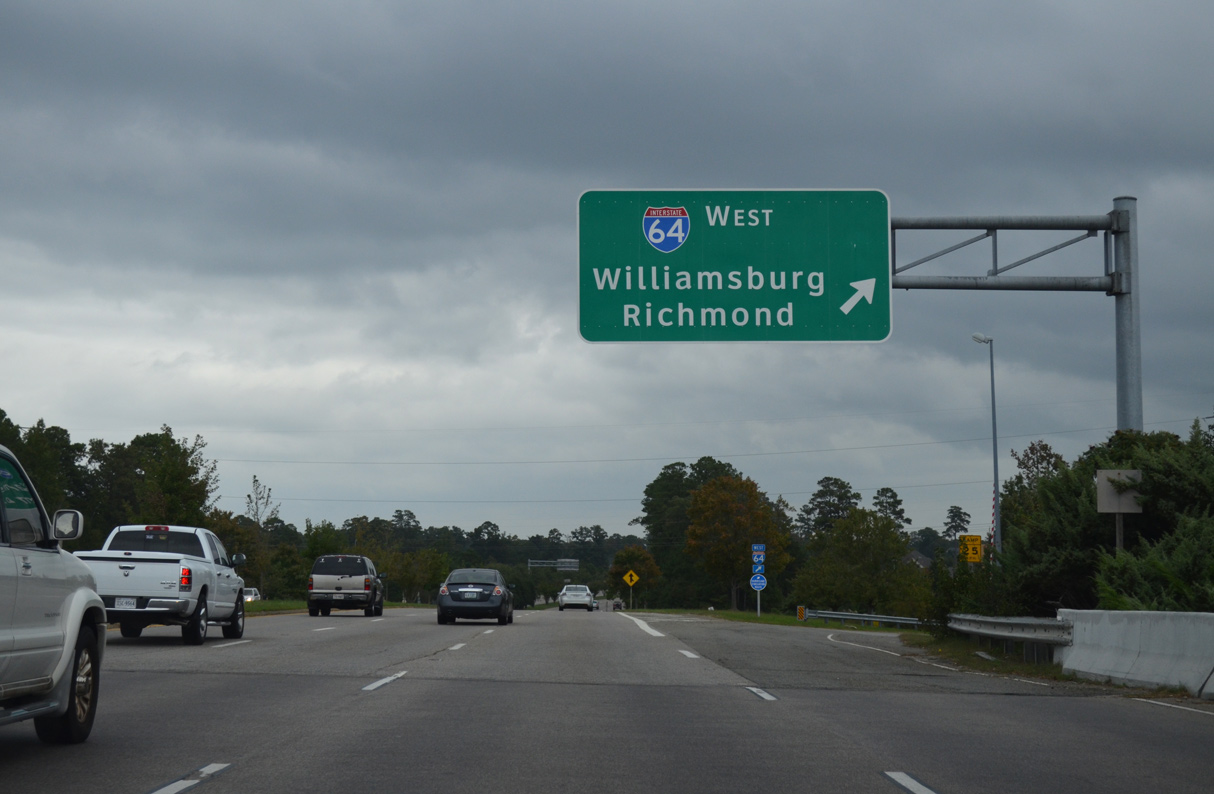
SR 171 (Victory Boulevard) east at the cloverleaf interchange with Interstate 64.
10/12/14
SR 171 east enters York County just ahead of Kiln Creek Parkway at the Kiln Creek community.
10/12/14
Commonwealth Drive ties into SR 171 at Kiln Creek Parkway from Victory Crossing Shopping Center and the Ivystone development.
10/12/14
10/12/14
10/12/14
10/12/14

10/12/14
10/12/14
10/12/14
10/12/14
10/12/14
10/12/14
The four lane section of SR 171 (Victory Boulevard) was extended east midway between SR 134 and Bowman Terrace in 2016/17.
10/12/14
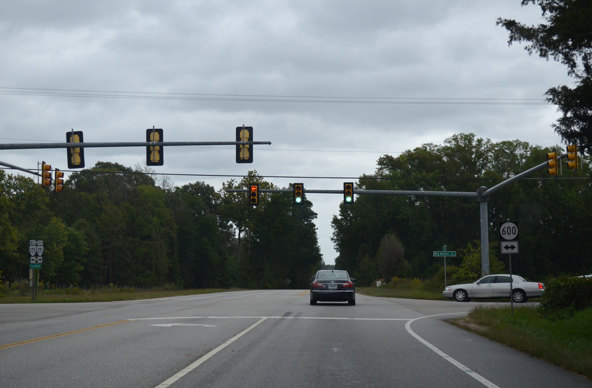
SR 600 lines Big Bethel Road 2.30 miles north from the Hampton city line at Big Bethel Reservoir to Yorktown Road (SR 706) just north of SR 171.
10/12/14
10/12/14
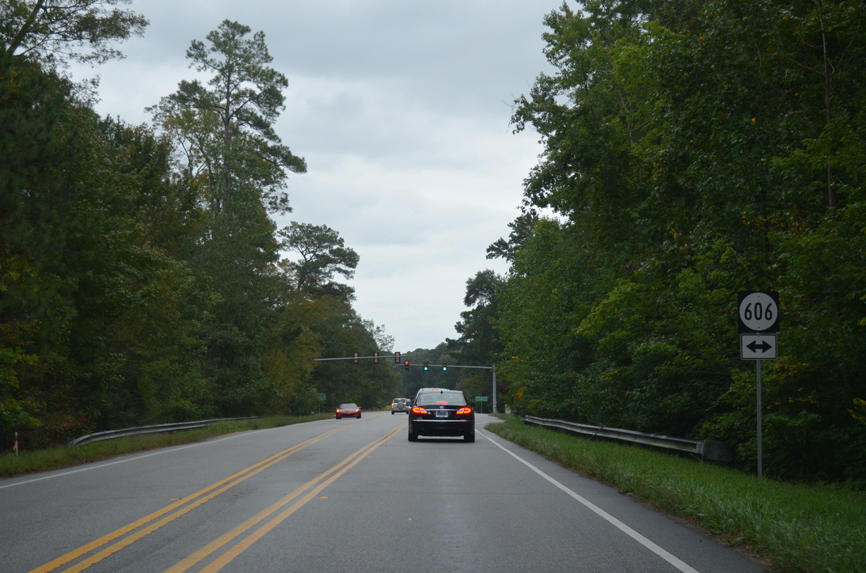
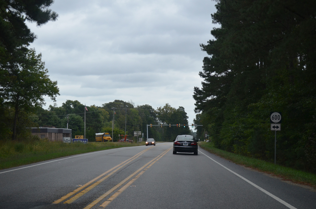
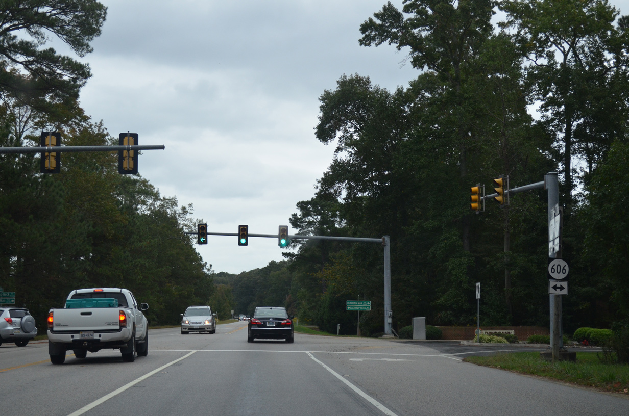
SR 606 is Running Man Trail south of SR 171 and Calthrop Neck Road north of Victory Boulevard.
10/12/14
10/12/14
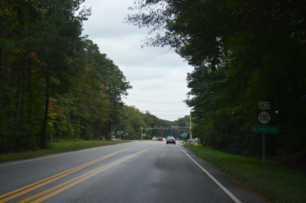
SR 782 (Carys Chapel Road) arcs southeast 1.66 miles to SR 171 (Wytle Creek Road along the Poquoson / Hampton city line.
10/12/14
10/12/14
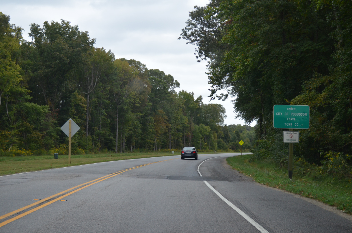
SR 171 enters the independent city of Poquoson through Big Woods, southeast of Moores.
10/12/14
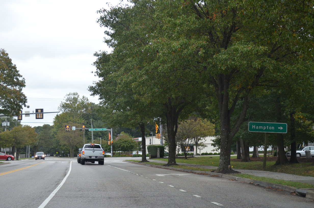
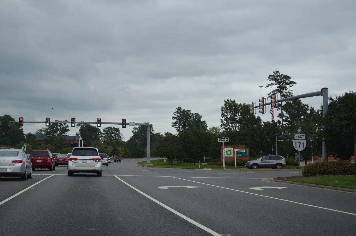
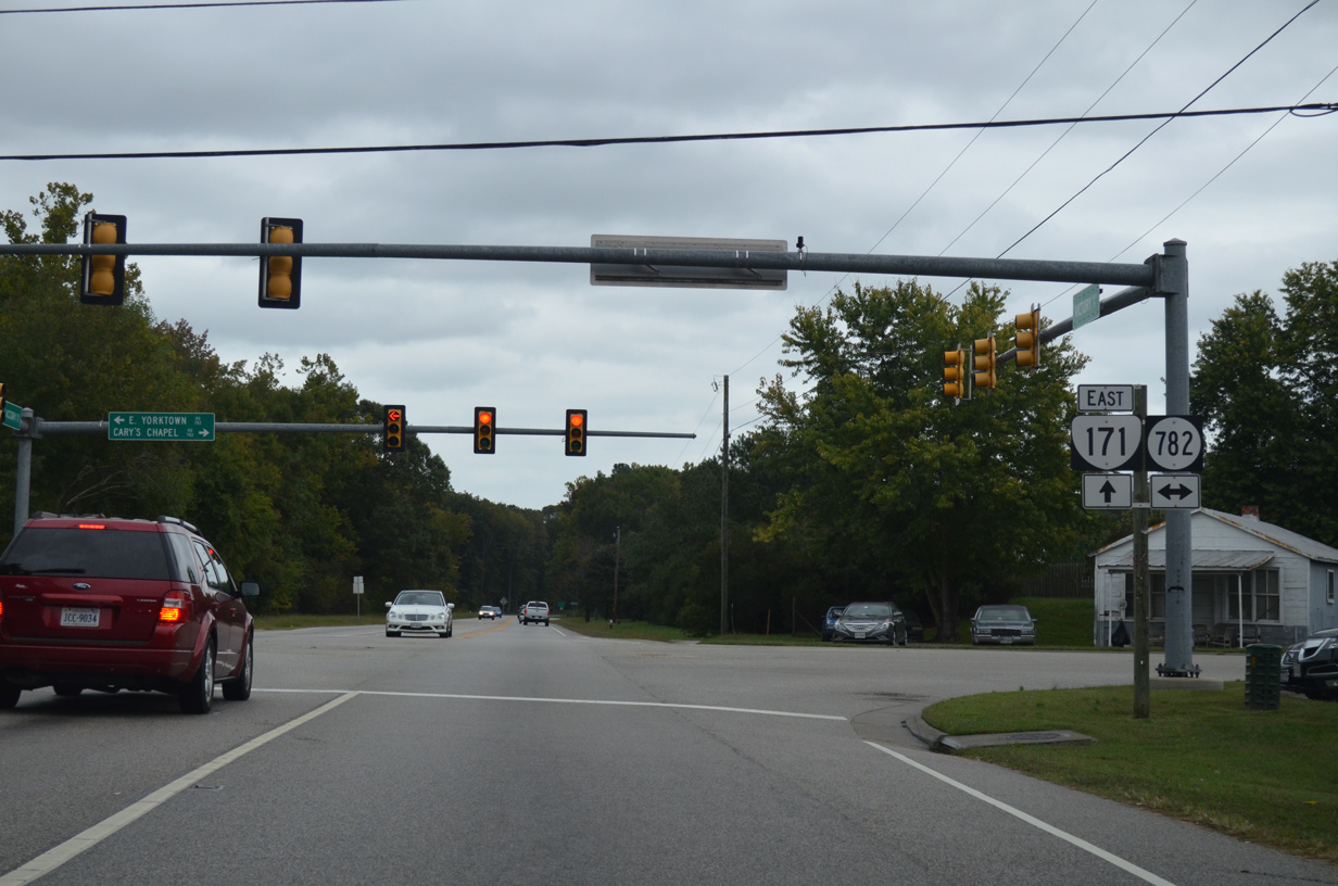
SR 171 (Victory Boulevard) east at SR 172 (Wythe Creek Road) south to Hampton and north to Poquoson Avenue. Neither route is marked at this intersection.
10/12/14
Photo Credits:
10/12/14 by AARoads
Connect with:
Interstate 64
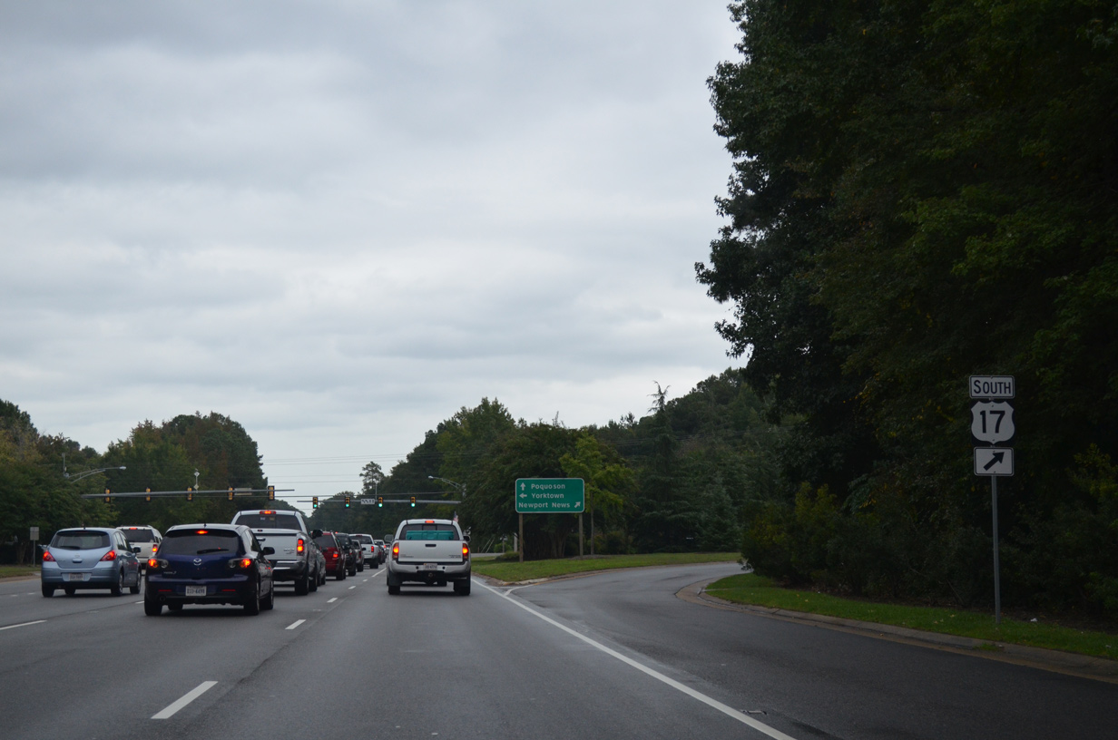
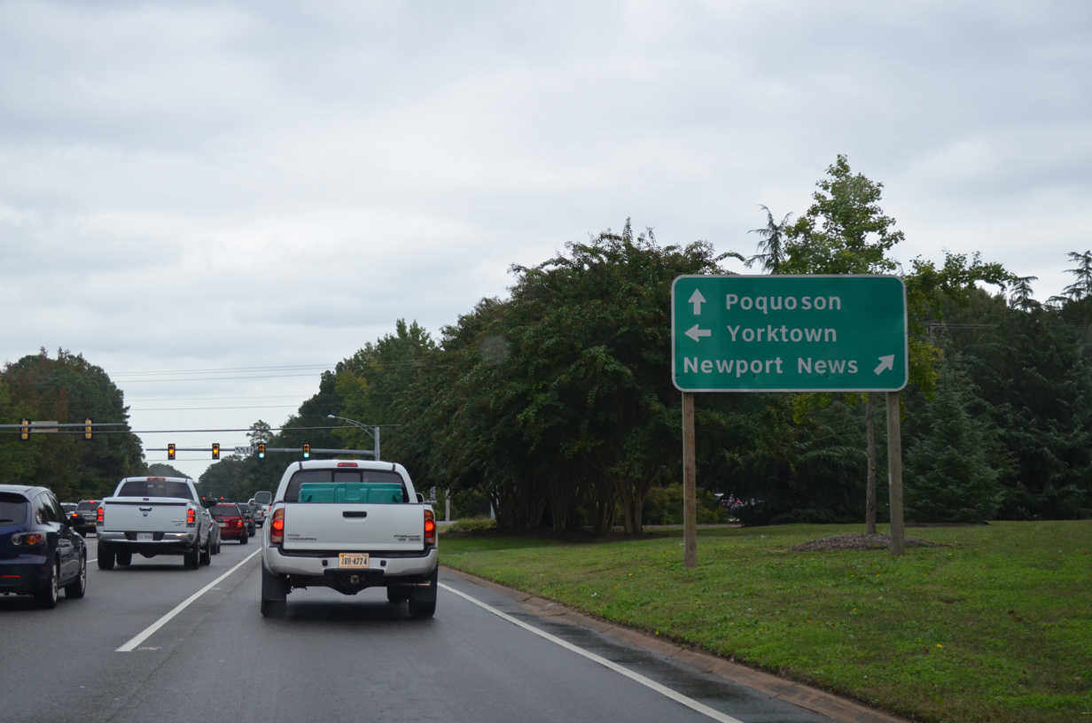
U.S. 17
State Route 134
State Route 172
Page Updated 04-22-2021.