Washington State Route 519 constitutes a 1.14 mile route linking the WSDOT Seattle Ferry Terminal with Interstate 90 in central Seattle.
|
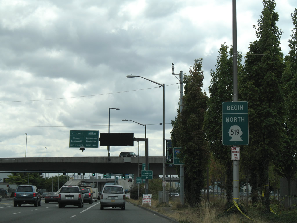
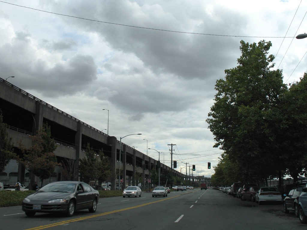
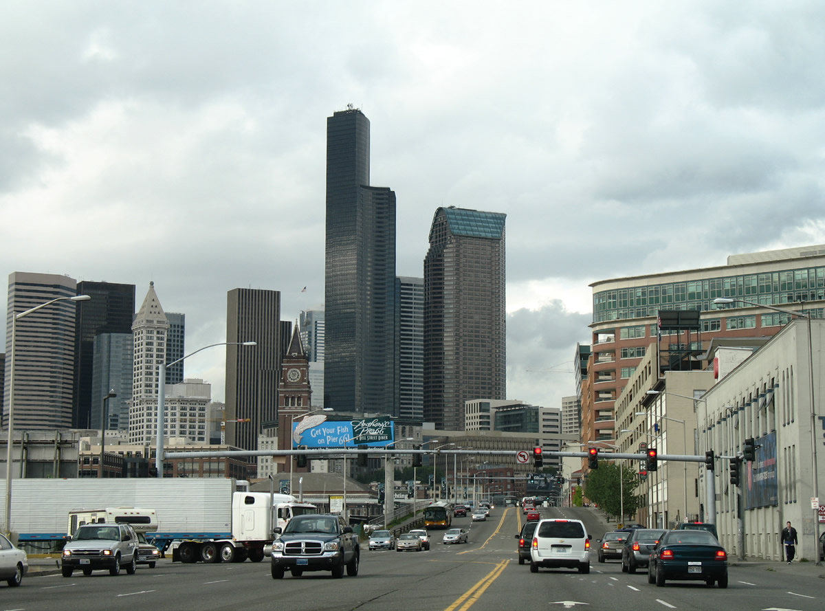
| Begin SR 519 sign assembly posted along 4th Avenue S between the west end of Interstate 90 at CenturyLink Field and the intersection with Royal Brougham Way. 08/30/06 |
|
| Originally Interstate 90 east began at the same intersection where Interstate 90 west currently ends. Now travelers bound for the transcontinental freeway use ramps from 4th Avenue South at Edgar Martinez Drive. 08/30/06 |
|
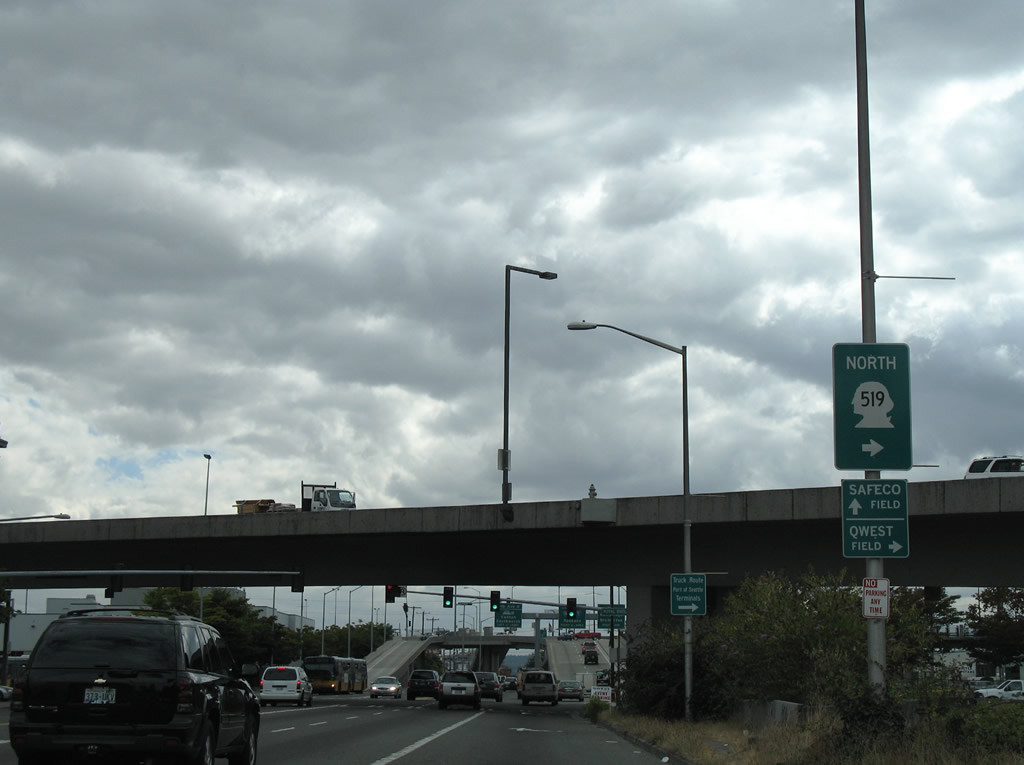
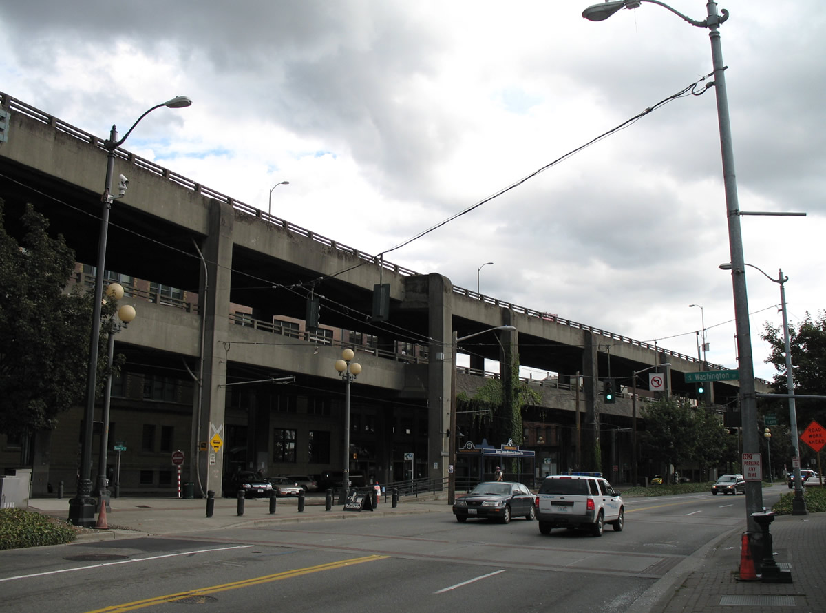
| SR 519 connects Interstate 90 with the Seattle-Bainbridge Island Ferry. 4th Avenue S to the West Seattle Bridge provides the first stretch of the route leading to the Fauntleroy Terminal with connections to Vashon and Southworth. 08/30/06 |
|
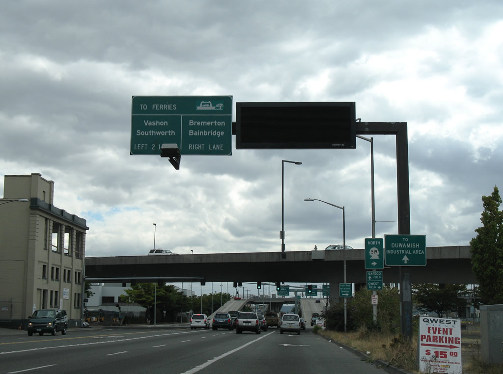
| 4th Avenue South prepares to split with SR 519 at Edgar Martinez Drive. Originally the state route traveled along Royal Brougham Way west to Alaskan Way, but 2010 road work added a new ramp from Interstate 90 west directly to Atlantic Street / Edgar Martinez Drive, resulting in a shift of SR 519 south one block. 08/30/06 |
|
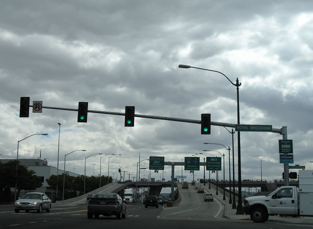
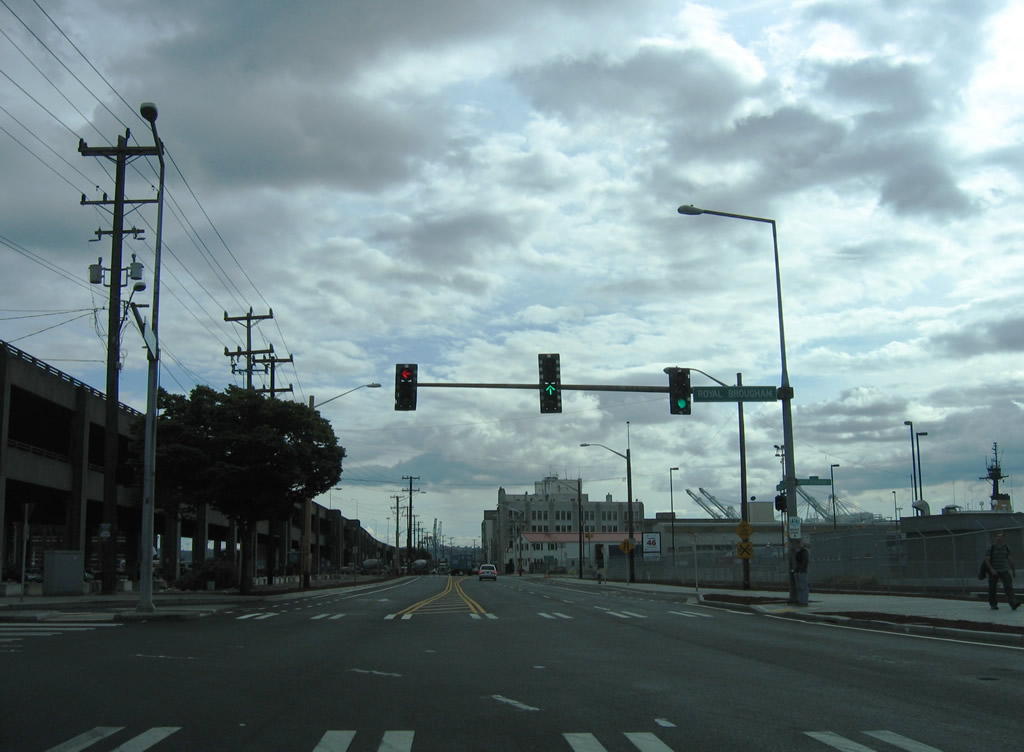
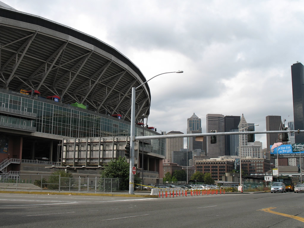
| Royal Brougham Way bisects Qwest and T-Mobile Parks between 3rd Avenue South and 1st Avenue South. A two lane bridge was completed in 2010 as part of the SR 519 S Seattle Intermodal Access Project to pass over the parallel BNSF Railroad. 08/30/06 |
|
| SR 519 leaves 4th Avenue South and rises to meet the eastbound beginning of Interstate 90 and Edgar Martinez Drive west. 08/30/06 |
|
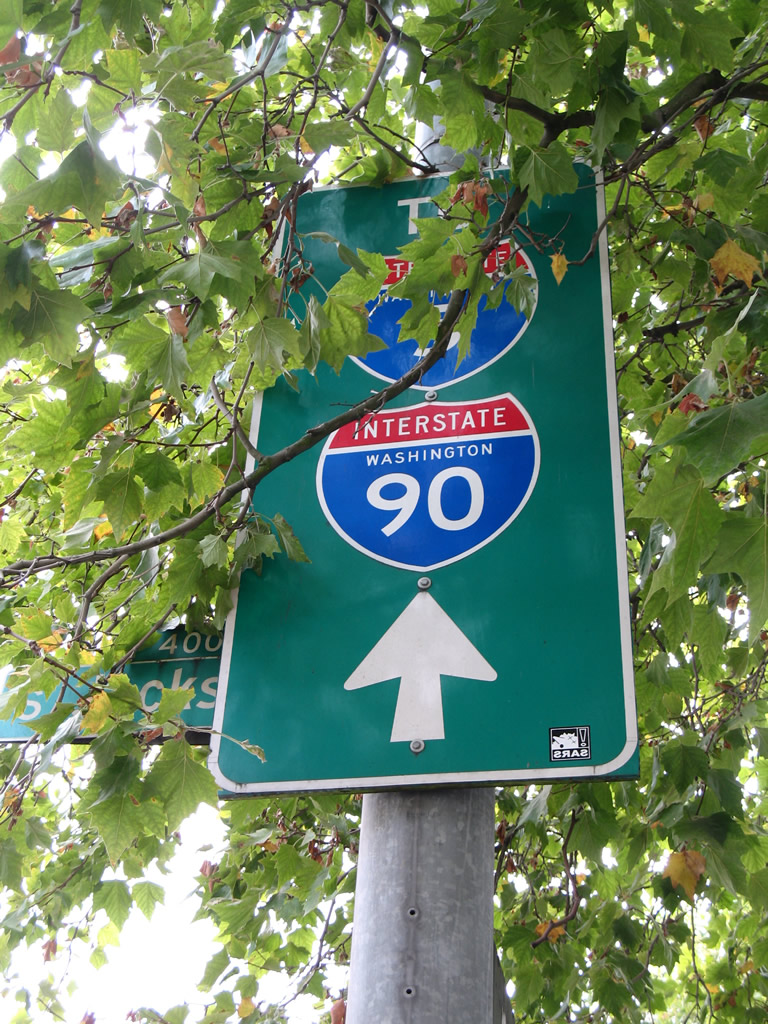
| Drivers from 4th Avenue south and north combine with Edgar Martinez Drive (SR 519) east to form the beginning of Interstate 90. Interstate 90 stretches 3,020.54 miles from Seattle to Boston. It is the longest Interstate within the system. 08/30/06 |
|
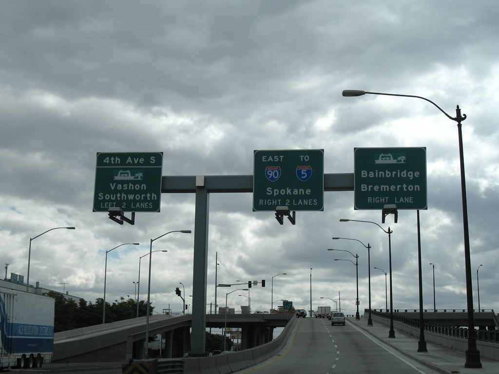
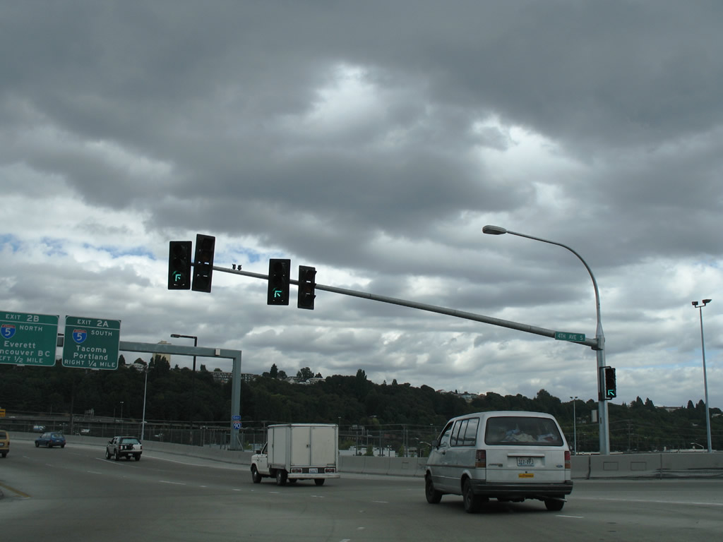
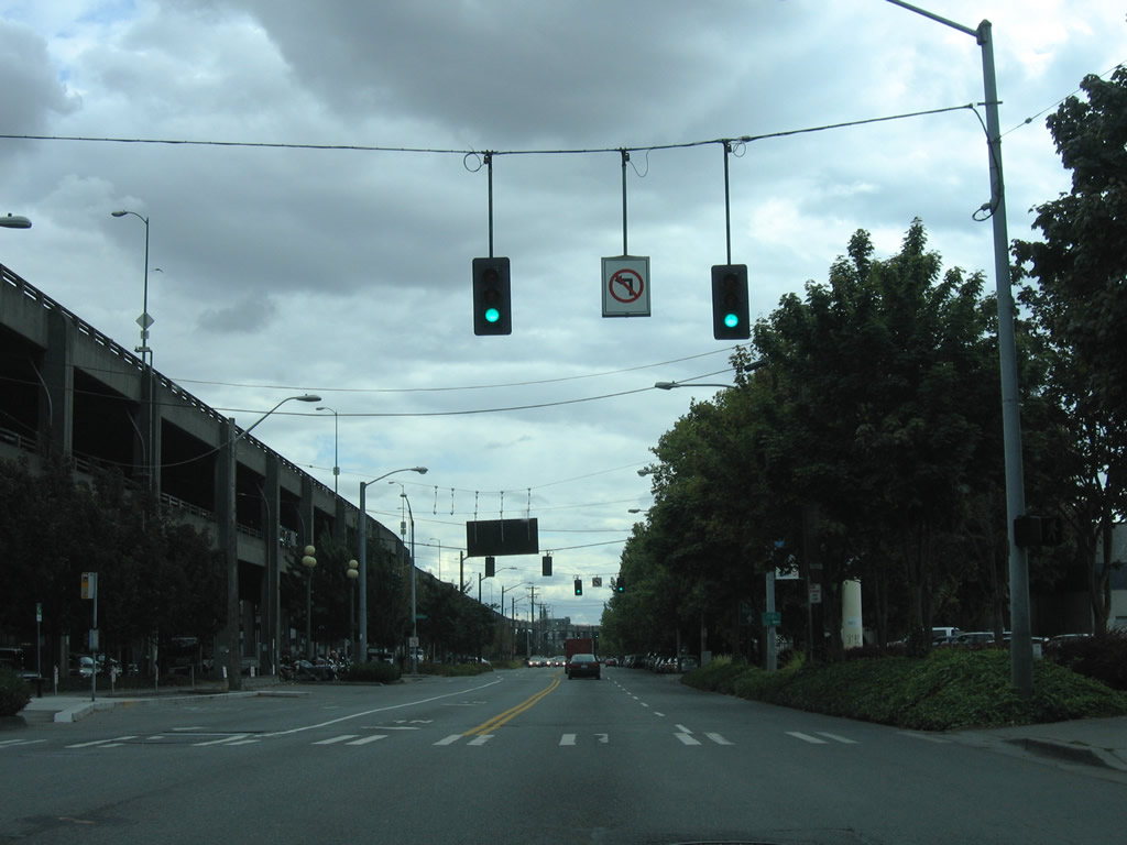
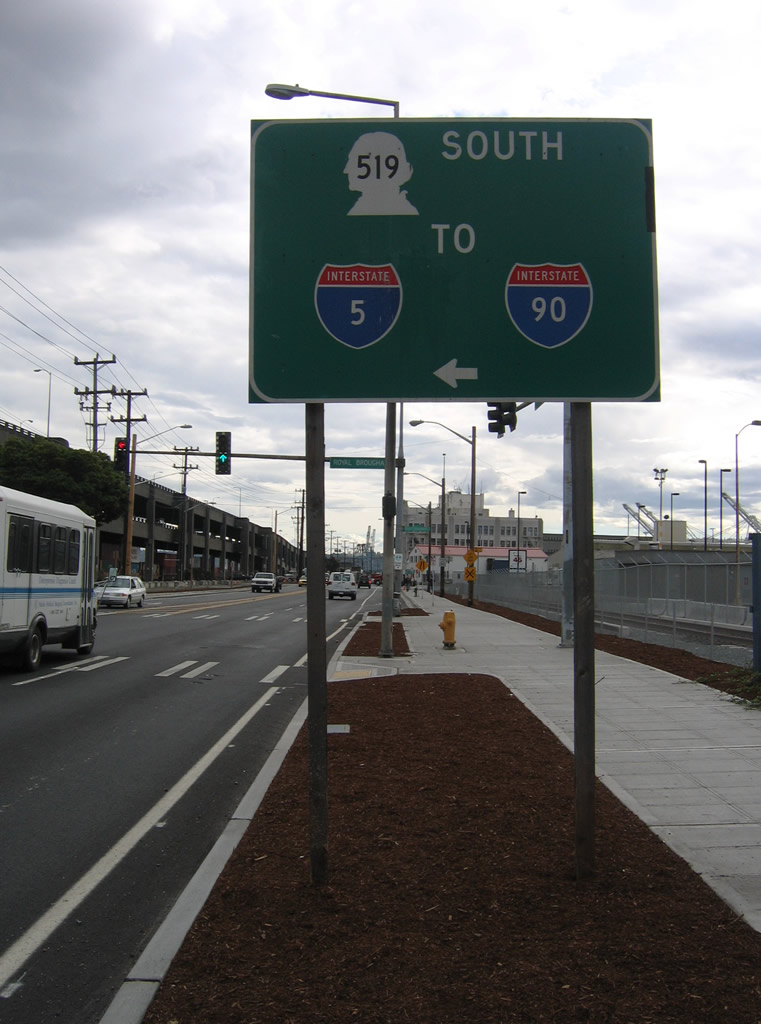
| SR 519 turns west onto Edgar Martinez Drive at the beginning of Interstate 90. Interstate 90 immediately sees ramps with Interstate 5 (Exits 2A/B) beyond 4th Avenue South. 08/30/06 |
|
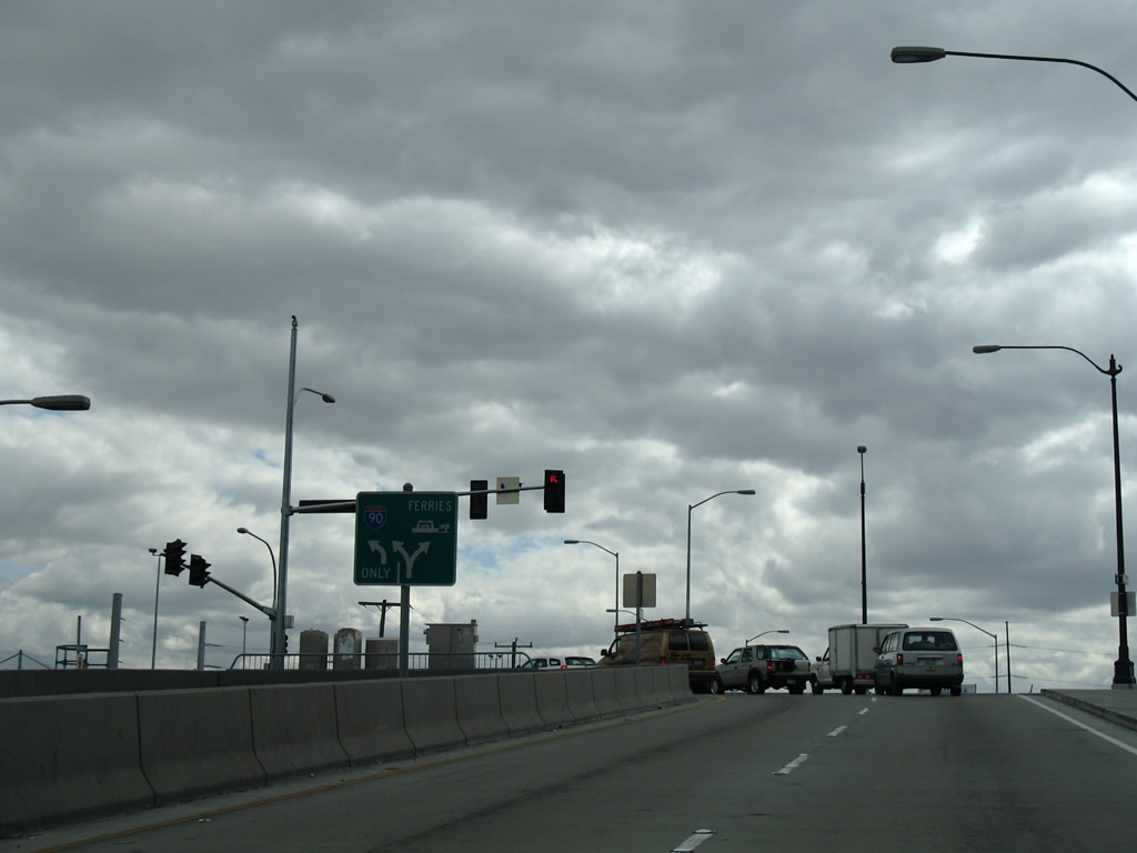
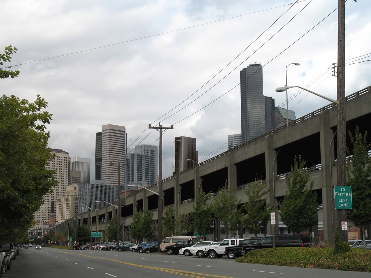
| Turning onto Alaskan Way, SR 519 parallels the SR 99 (Alaskan Way Viaduct) northward to its end at the WSDOT Seattle Ferry Terminal. 08/30/06 |
|
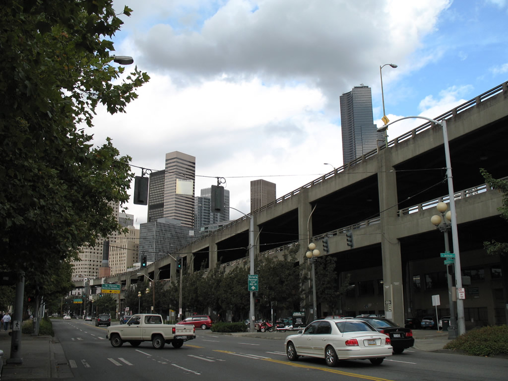
| Alaskan Way carries four lanes northward from East Marginal Way to Broad Street. The boulevard transitions from an industrial route to a tourist-based one in downtown. 08/30/06 |
|
| Dearborn Street links SR 519 (Alaskan Way) with 1st Avenue South at CenturyLink Field. 08/30/06 |
|
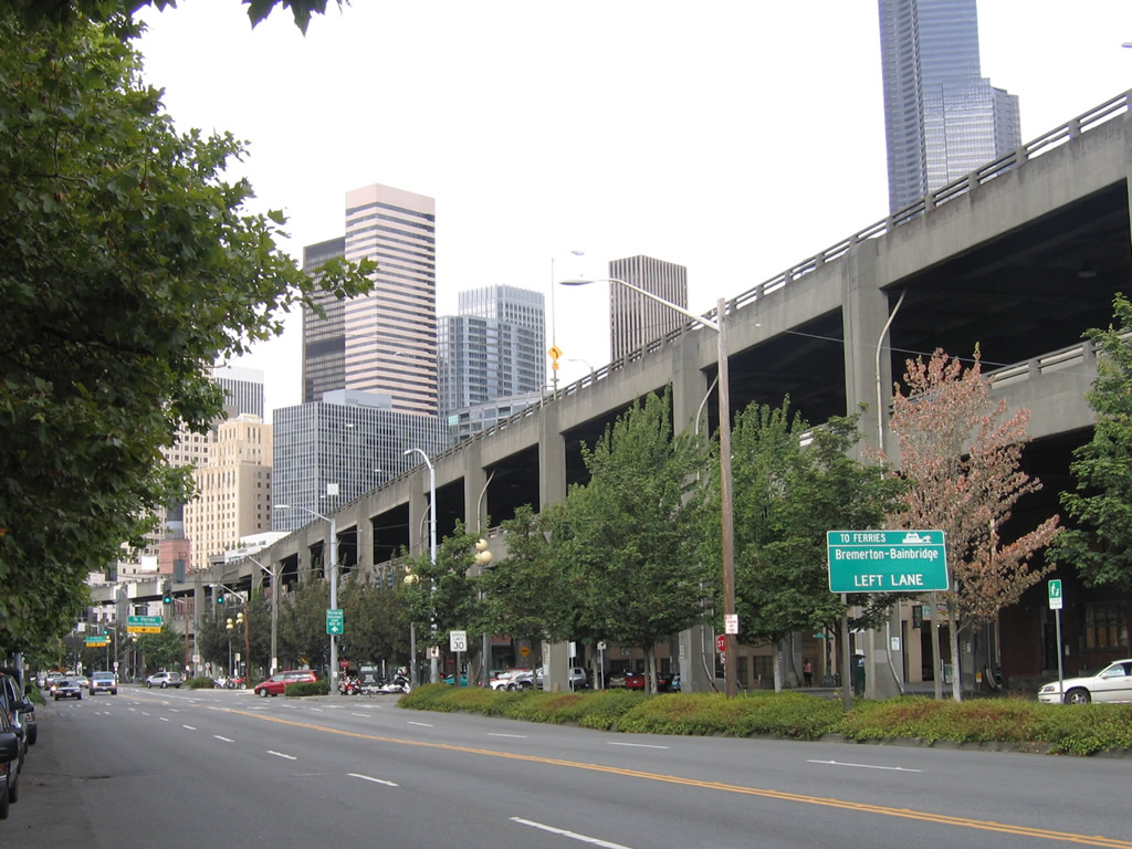
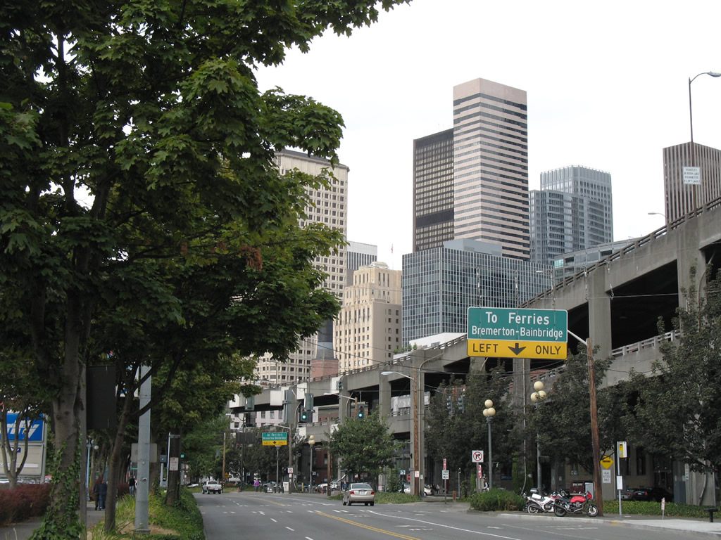
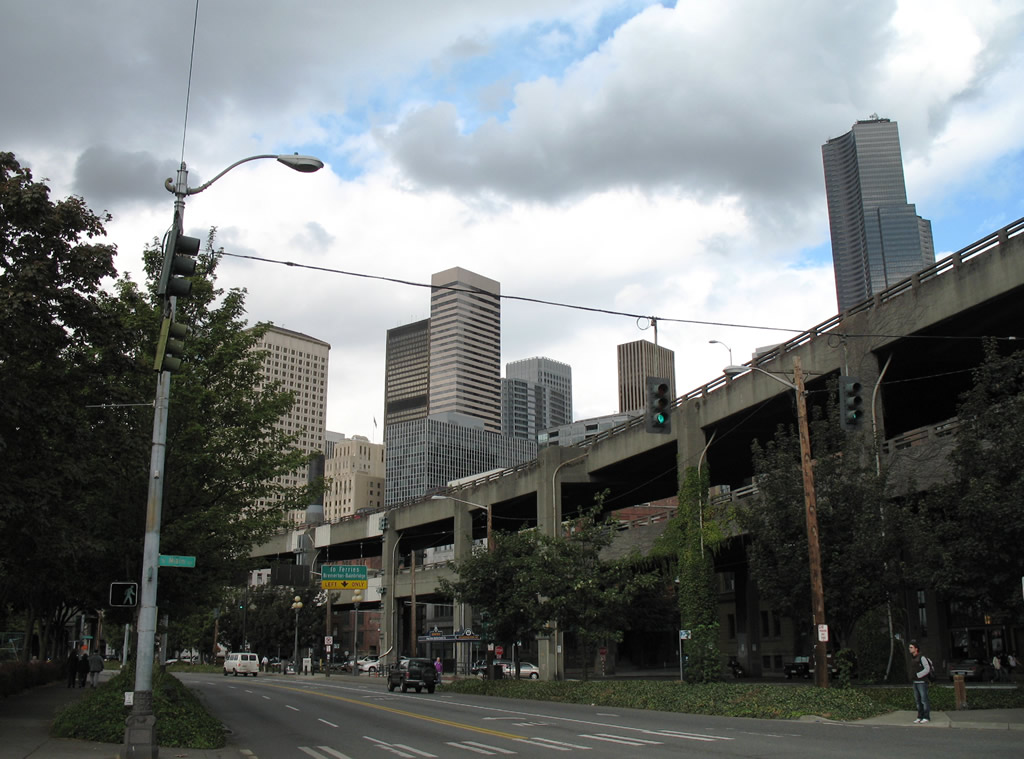
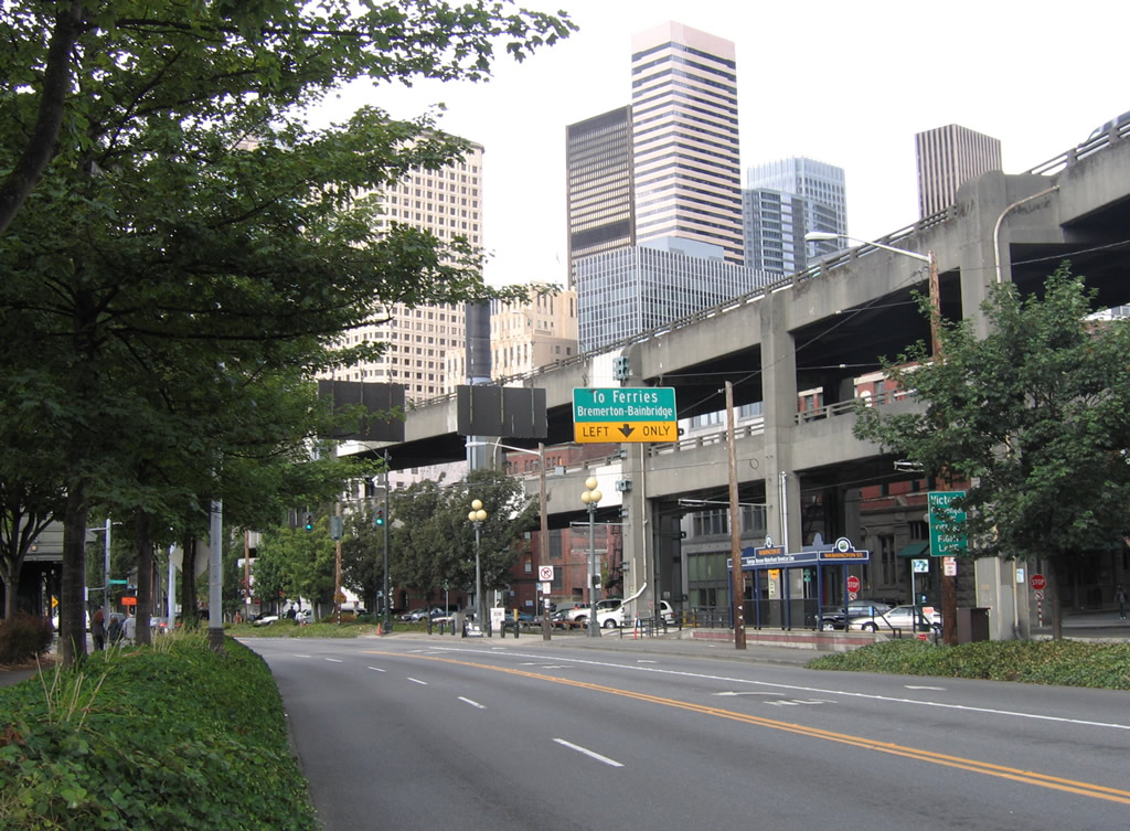
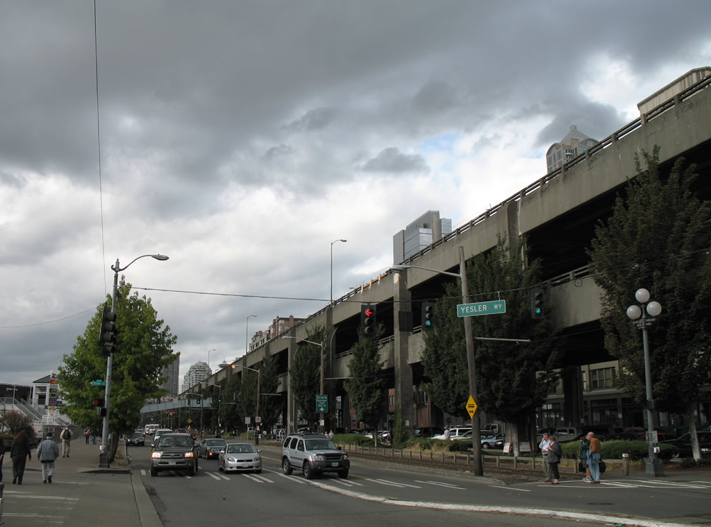
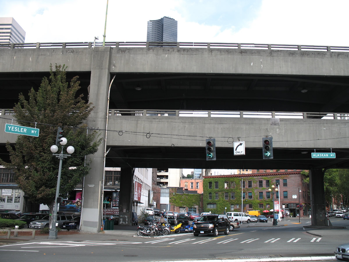
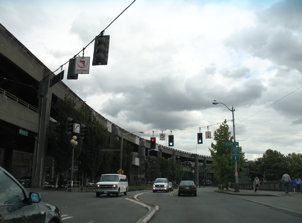
| Motorists destined for Bremerton or Bainbridge Island via the WSDOT Ferry system are advised to remain in the left lane of SR 519 north to Yesler Way. 08/30/06 |
|
| Main Street connects SR 519 (Alaskan Way) with the Pioneer Square area of Seattle east of the SR 99 viaduct. Jackson Street stretches west from Yesler Terrace to Alaskan Way opposite Pier 48. 08/30/06 |
|
| SR 519 (Alaskan Way) curves northwest along Elliott Bay from Main Street toward the WSDOT ferry terminal. 08/30/06 |
|
| Traffic lights at Alaskan Way and Main Street. 08/30/06 |
|
| Continuing two blocks north to the ferry, the Washington Street station of the George Benson Waterfront Streetcar Line comes into view. 08/30/06 |
|
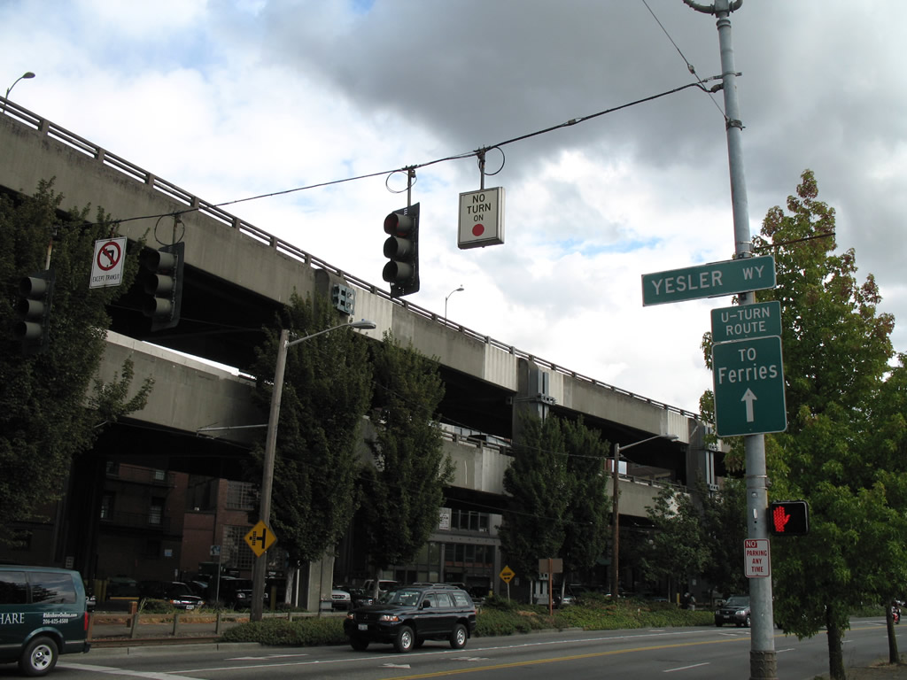
| Yesler Way ties into the SR 519 turn into the ferry docks. 08/30/06 |
|
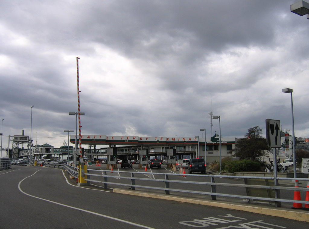
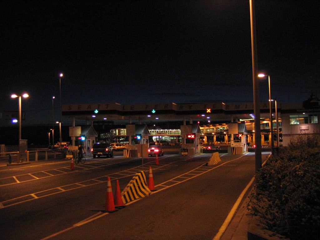
| SR 519 ends at the Seattle Ferry Terminal booths. 08/30/06, 08/28/06 |
|
| SR 519 begins at the Seattle-Bainbridge Island Ferry facility on Elliott Bay in downtown Seattle. The state route follows Alaskan Way south from the intersection with Yesler Way adjacent to the Alaskan Way Viaduct. 08/30/06 |
|
| Alaskan Way straddles the Elliott Bayfront southward from Broad Street to Yesler Way to become SR 519. A myriad of activities are available along the various piers that jut out over the bay. 08/30/06 |
|
| Motorists that missed the turn for the WSDOT Seattle Ferry Terminal may take a u-turn further south on Alaskan Way to return to the landing. 08/30/06 |
|
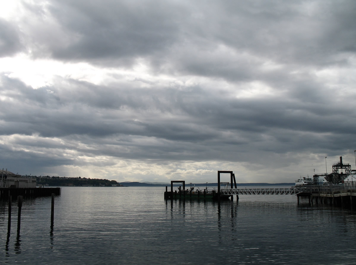
| Westward view of Pugeot Sound from the sidewalk of Alaskan Way near Washington Street. Duwamish Head is the land mass to the south; Bainbridge Island rises further west on the horizon. 08/30/06 |
|
| Washington Street stems east from SR 519 (Alaskan Way) into the Pioneer Square section of Seattle. 08/30/06 |
|
| Approaching the intersection with Main Street on SR 519 (Alaskan Way) south. State-named shields adorn the overhead on the right for the former SR 519 turn onto Brougham Way. King Street provides a second route into Pioneer Square and return access to the Elliott Bayfront. 08/30/06 |
|
| There is no access to Main Street from SR 519 (Alaskan Way). 08/30/06 |
|
| Classically shaped state-named shields are posted on an Interstates 5 & 90 trailblazer sign behind the leaves at Jackson Street. Jackson Street flows west from Yesler Terrace to end at SR 519. 08/30/06 |
|
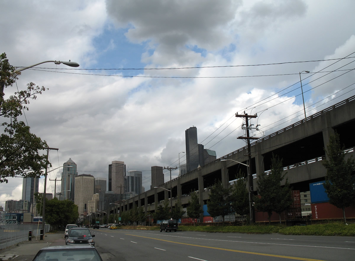
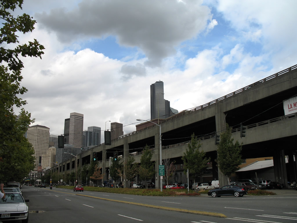
| SR 519 and parallel SR 99 continue south toward Dearborn Street west of CenturyLink Field. 08/30/06 |
|
| SR 519 originally followed Royal Brougham Way east from Alaskan Way between CenturyLink Field and T-Mobile Park to 4th Avenue S. Work in 2010 opened a new bridge of Royal Brougham Way over the BNSF Railroad and 3rd Avenue South. This span eliminated the at-grade crossing with the railroad line, but also provided accommodations for pedestrians and bicyclists.1 08/30/06 |
|
| Additional work associated with the SR 519 S Seattle Intermodal Access Project saw the addition of a new off-ramp from Interstate 90 west to South Atlantic Street. The new ramp provides a direct route to Alaskan Way via Atlantic Street / Edgard Martinez Drive, a route that now carries SR 519 to 4th Avenue South. 08/30/06 |
|
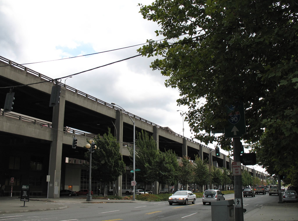
| SR 519 south turns onto 4th Avenue South north to make the connection with the western terminus of Interstate 90. A direct ramp connects Edgar Martinez Drive with the freeway as well. 08/30/06 |
|
| 4th Avenue South enters the intersection with Interstate 90 west; SR 519 ends as 4th Avenue South continues north to King Street Station and Pioneer Square. 08/30/06 |
|
| A closer look of the Interstate 90 and SR 519 intersection reveals the former eastbound beginning of the transcontinental freeway. All traffic to Interstate 90 east now utilizes ramps from 4th Avenue South at Edgar Martinez Drive. 08/30/06 |
Page Updated 10-24-2010.