|
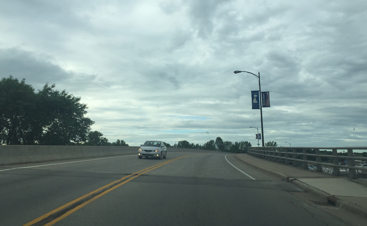
| County VV skirts across the north side of Two Rivers. 07/08/16 |
|
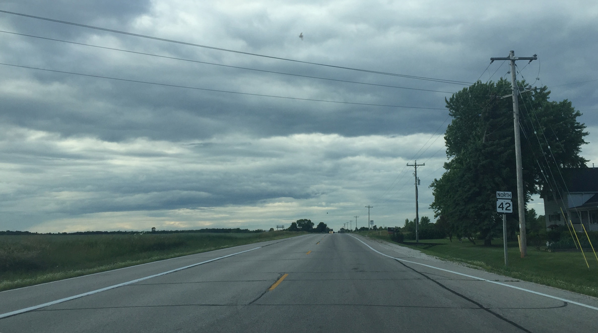
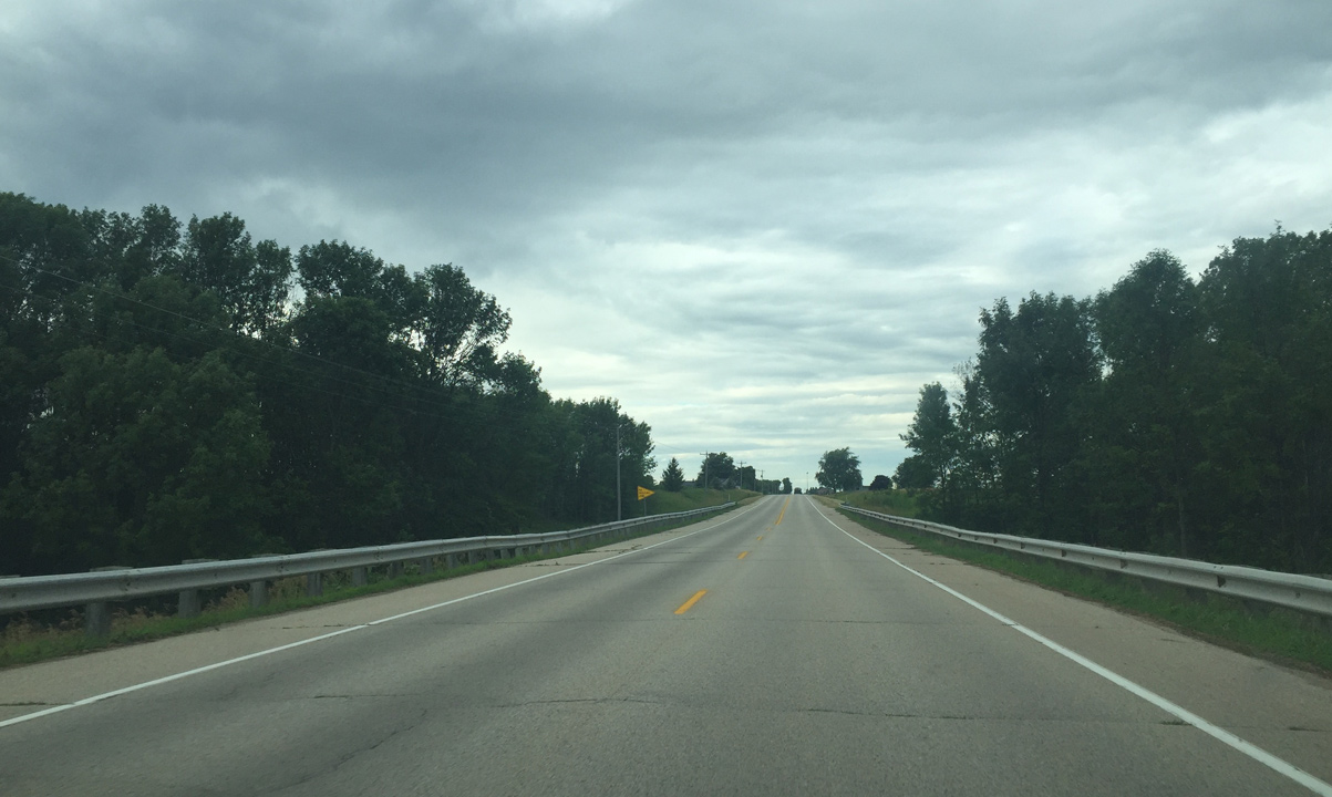
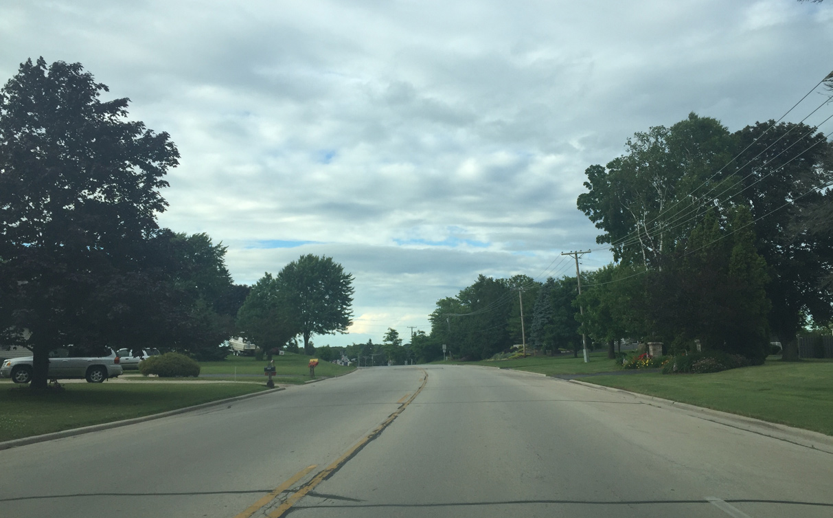
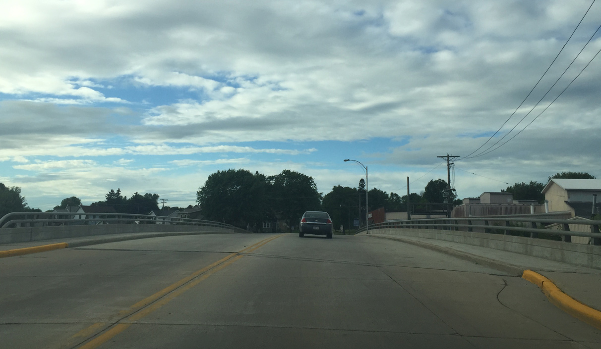
| Leaving Two Rivers along SR 42 north past Hillcrest Road. 07/08/16 |
|
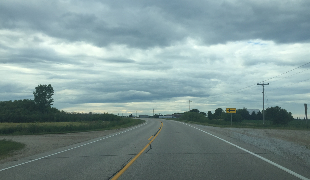
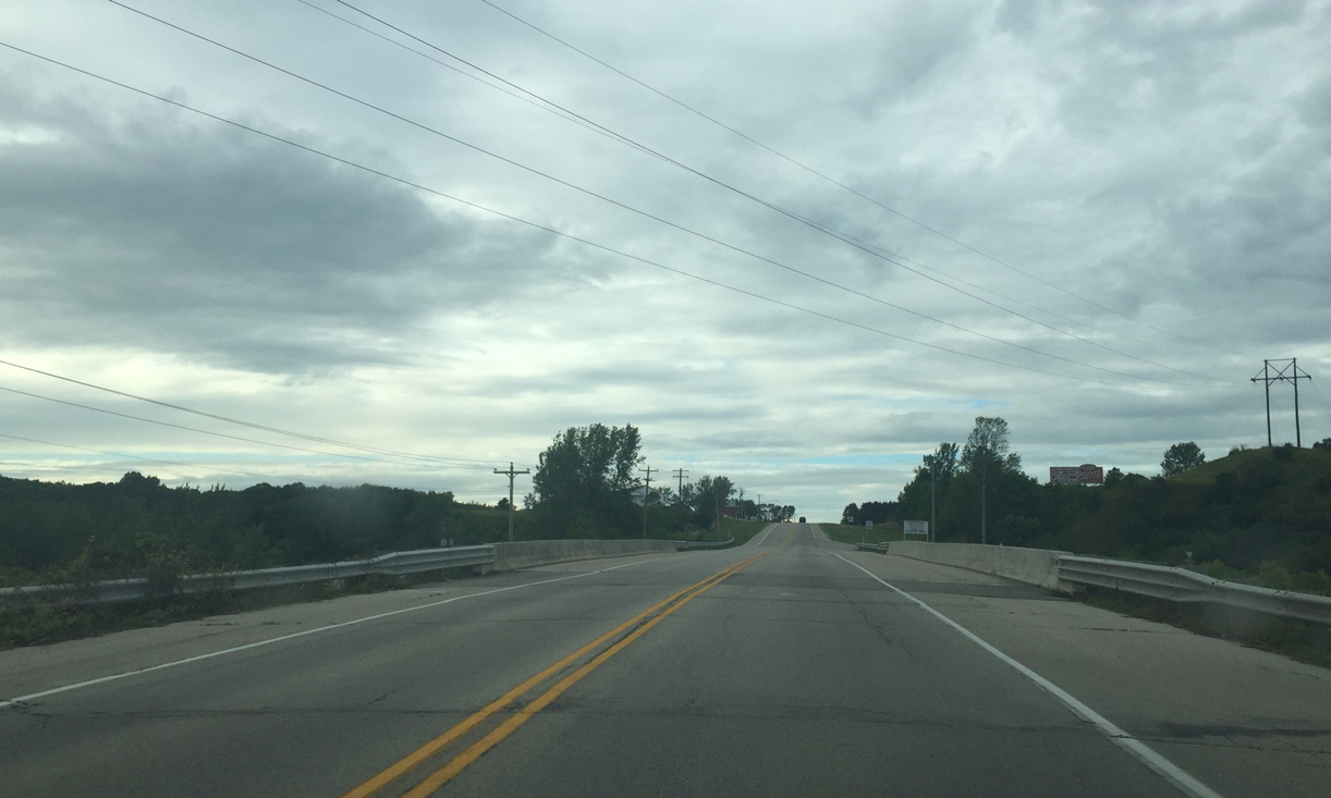
| STH 42 shifts a tenth of a mile westward between Wedge Drive and CTH V. 07/08/16 |
|
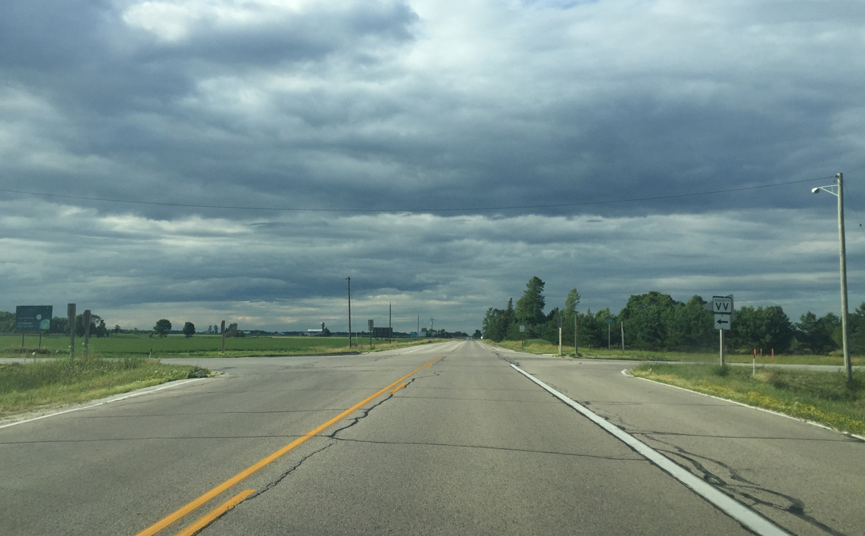
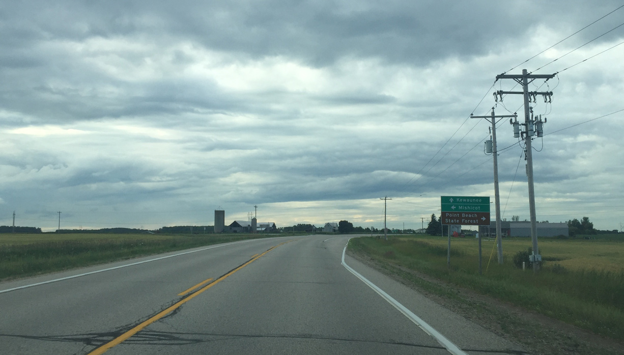
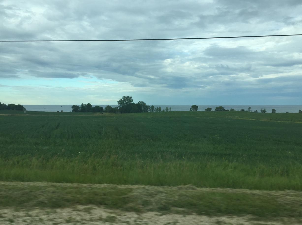
| County V goes to Francis Creek and Mishicot to the west. Leading east to Point Beach State Forest, County V was formerly Wis 177. 07/08/16 |
|
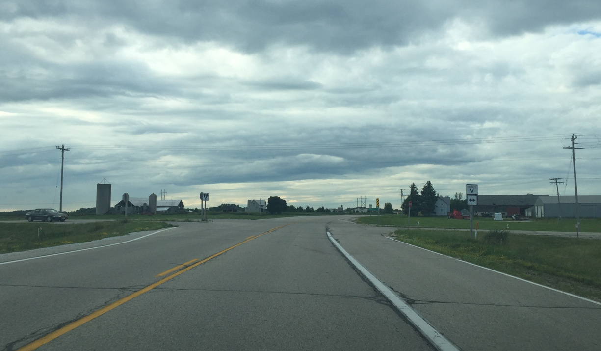
| County V intersection 07/08/16 |
|
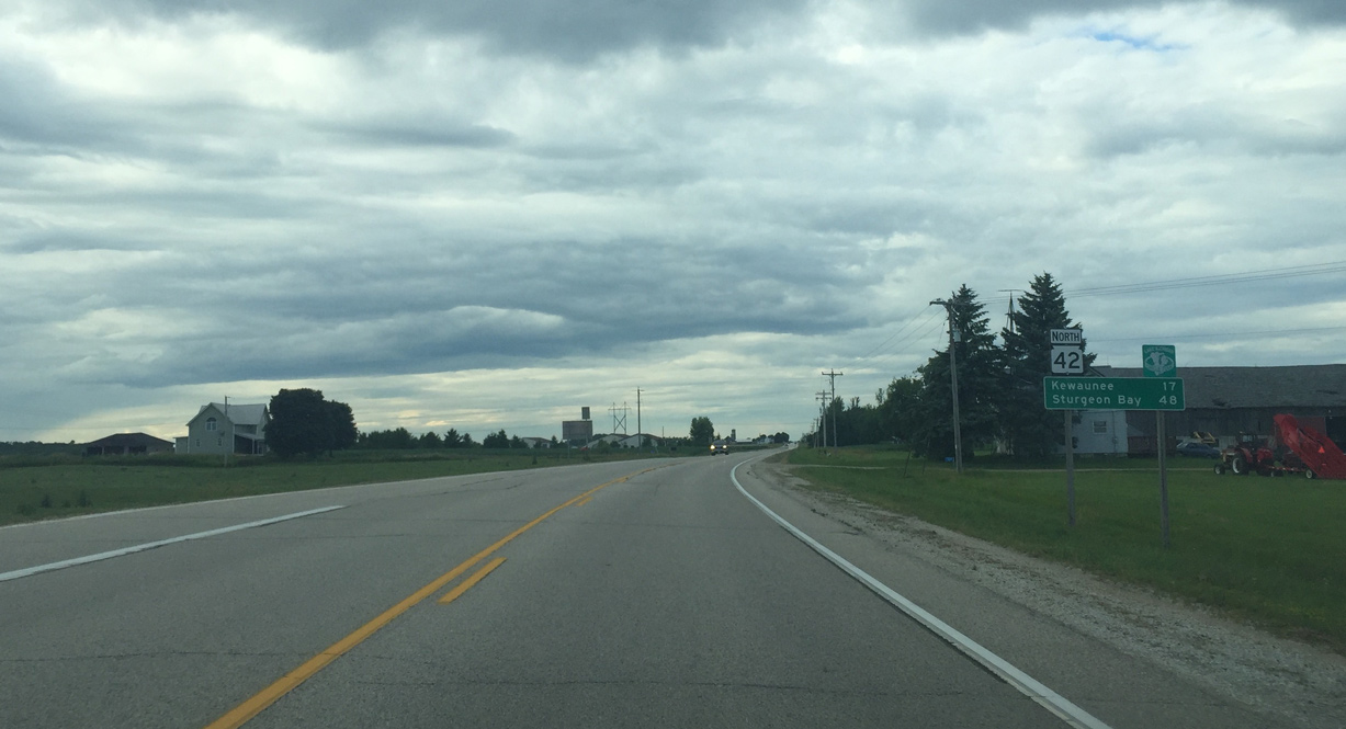
| Kewaunee is 17 miles away 07/08/16 |
|
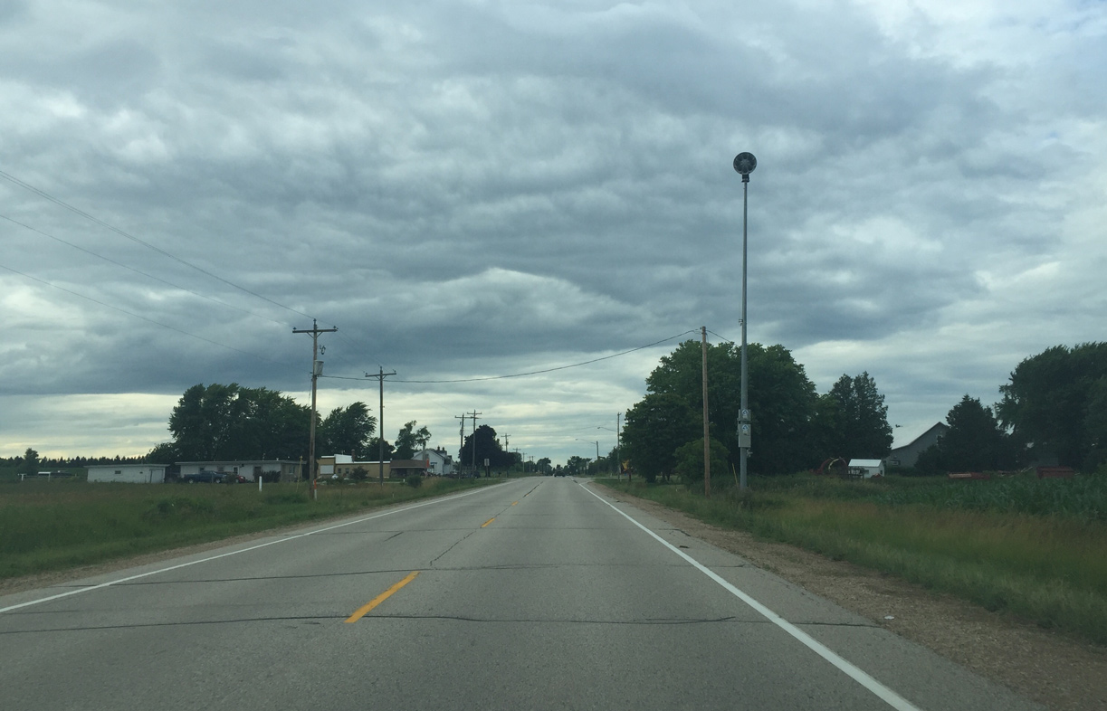
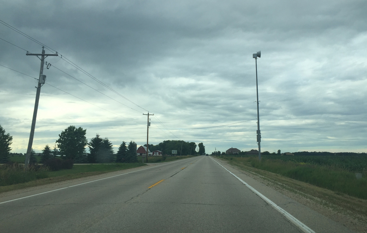
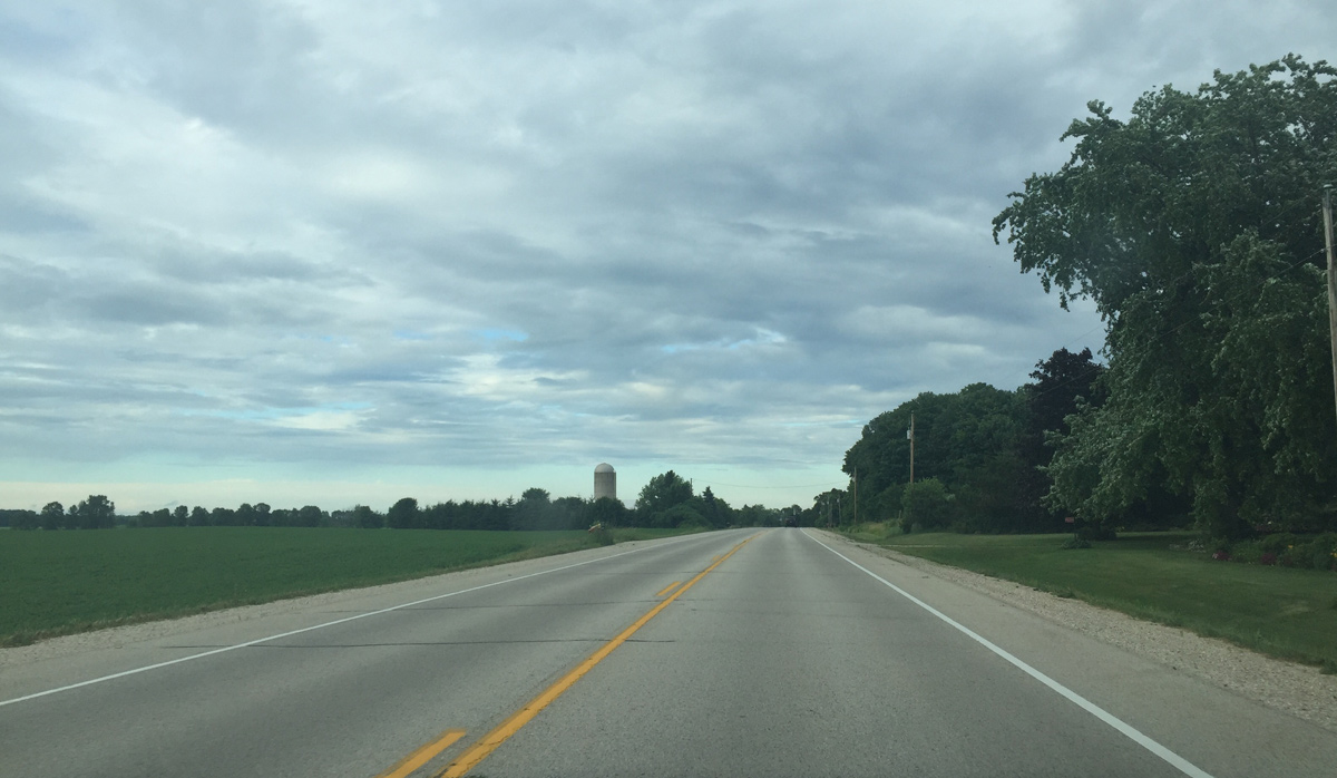
| Continuing north toward Nuclear Road 07/08/16 |
|
| Point Beach Nuclear Plant 07/08/16 |
|
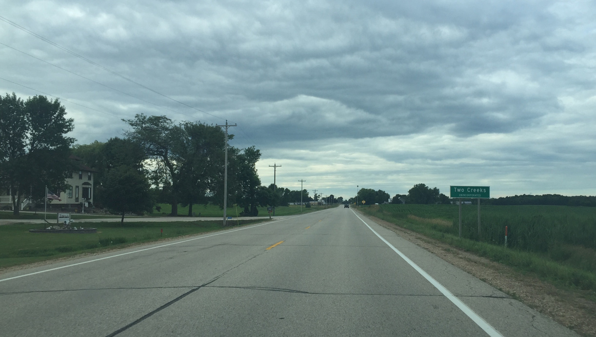
| Two Creeks is a small unincorporated community. 07/08/16 |
|
| A nuclear warning siren in Two Creeks 07/08/16 |
|
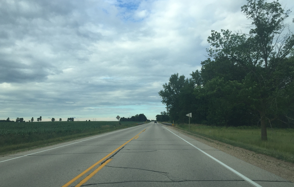
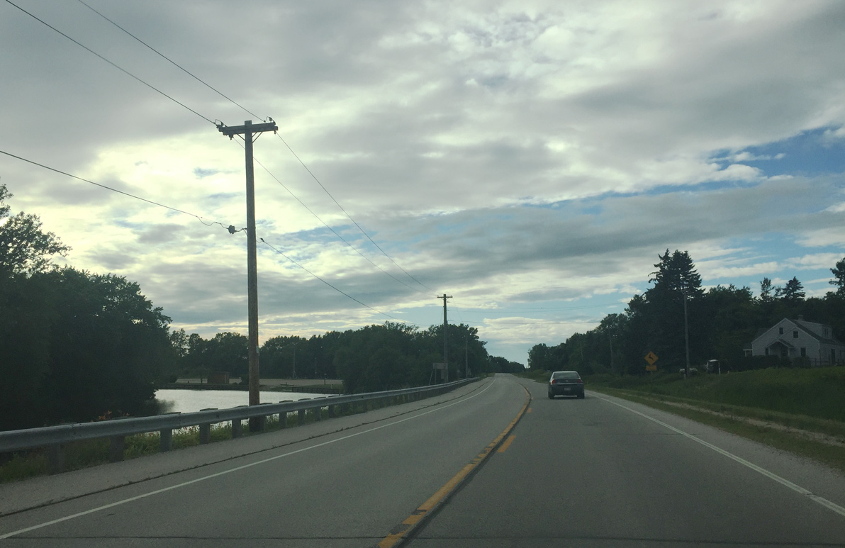
| STH 42 angles northeast from Two Creeks toward the Lake Michigan shoreline. 07/08/16 |
|
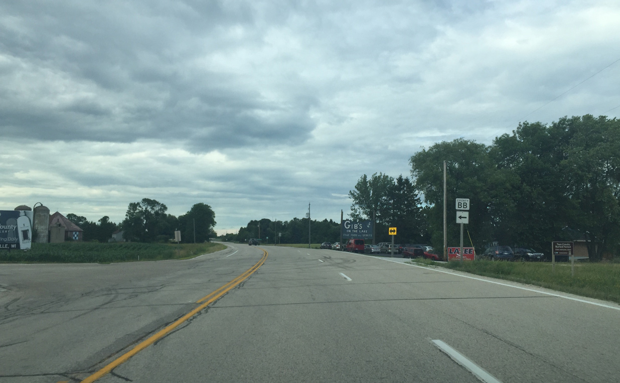
| County BB intersection 07/08/16 |
|
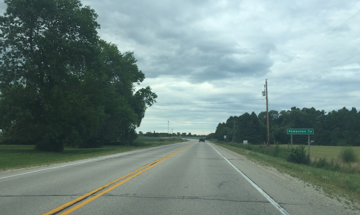
| Entering Kewaunee County 07/08/16 |
|
| The Kewaunee Nuclear Power Plant was decommissioned in 2014 and in the process of being torn down in 2016. The facility was shut down due to lower electricity demand. 07/08/16 |
|
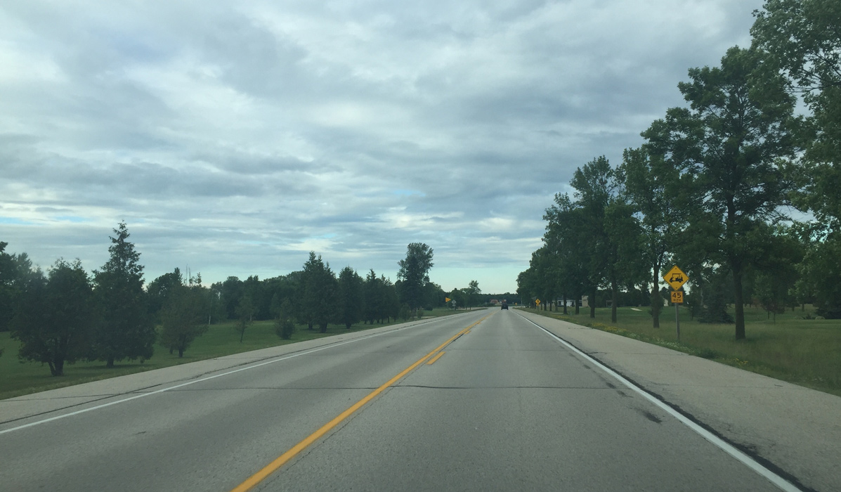
| Advancing north ahead of Old Settlers Road. 07/08/16 |
|
| Another nuclear warning siren 07/08/16 |
|
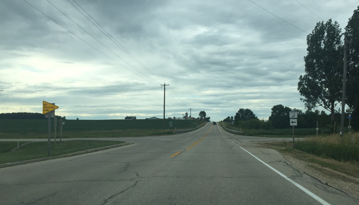
| County J intersection 07/08/16 |
|
| STH 42 turns east ahead of CTH C. 07/08/16 |
|
| Wis 42 resumes a northward course overlooking Lake Michigan beyond Lakeshore Road. 07/08/16 |
|
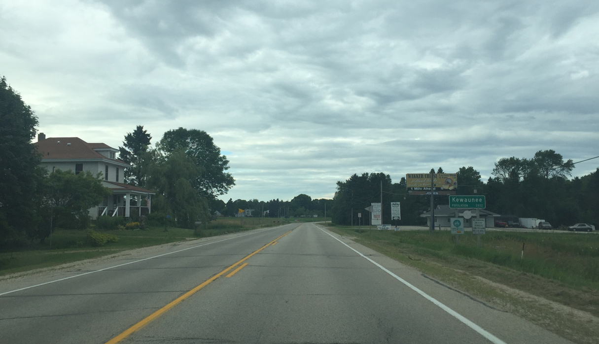
| Entering Kewaunee 07/08/16 |
|
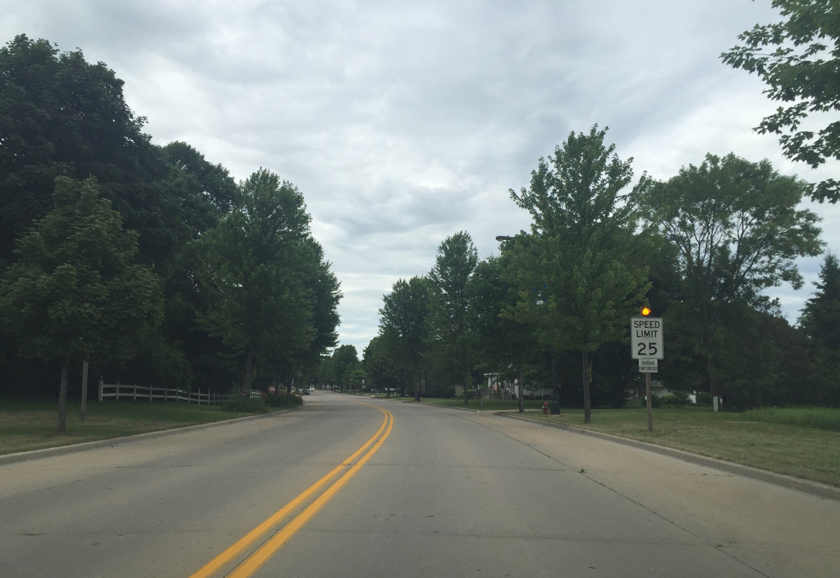
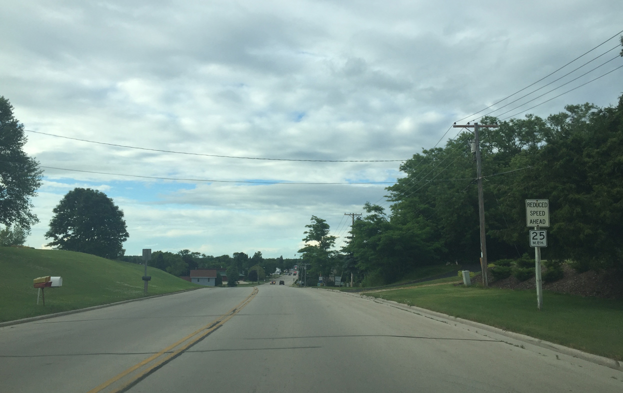
| The speed limit drops to 25 with a flashing warning light on STH 42 north of Baumeister Drive. 07/08/16 |
|
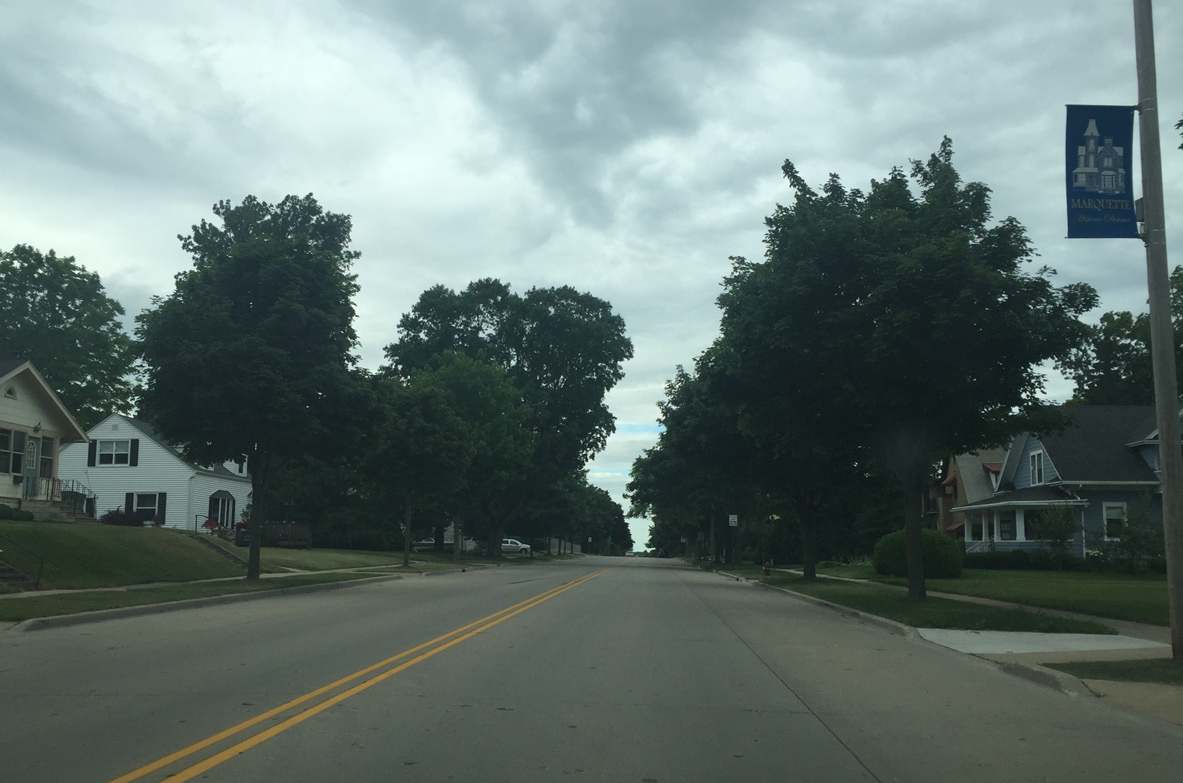
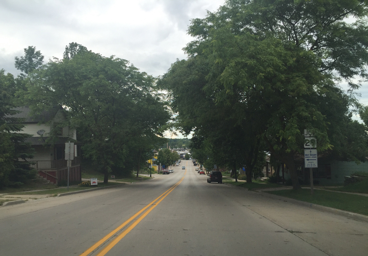
| STH 42 (Milwaukee Street) passes through a residential area north to Dorelle Street in Kewaunee. 07/08/16 |
|
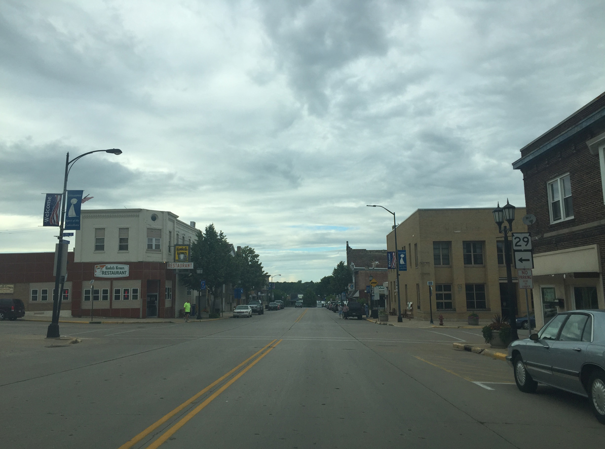
| Approaching Wis 29 07/08/16 |
|
| Wis 29 commenced west across the state from Wis 42 at Ellis Street. Mostly expressway between Green Bay and I-94, Wis 29 is considered one of the most important highways in the state. 07/08/16 |
|
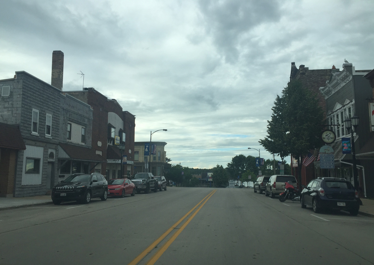
| Downtown Kewaunee 07/08/16 |
|
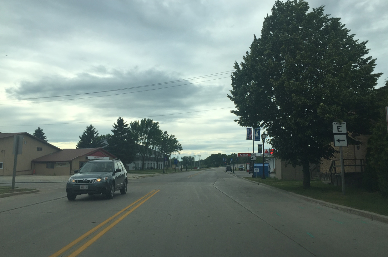
| County E intersection 07/08/16 |
|
| Bridge across the abandoned Green Bay and Western Railroad 07/08/16 |
|
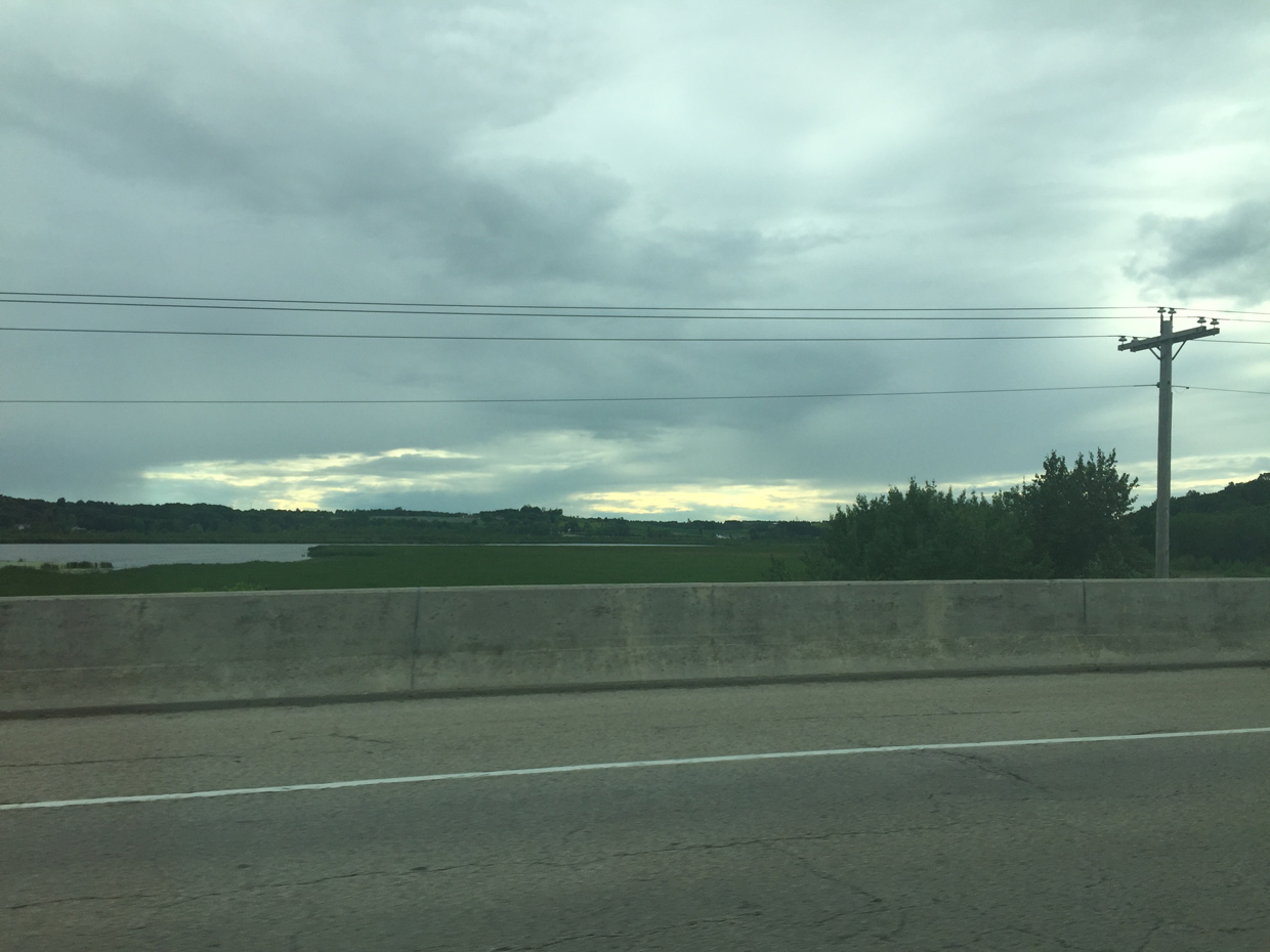
| The Kewaunee River can be viewed to the west 07/08/16 |
|
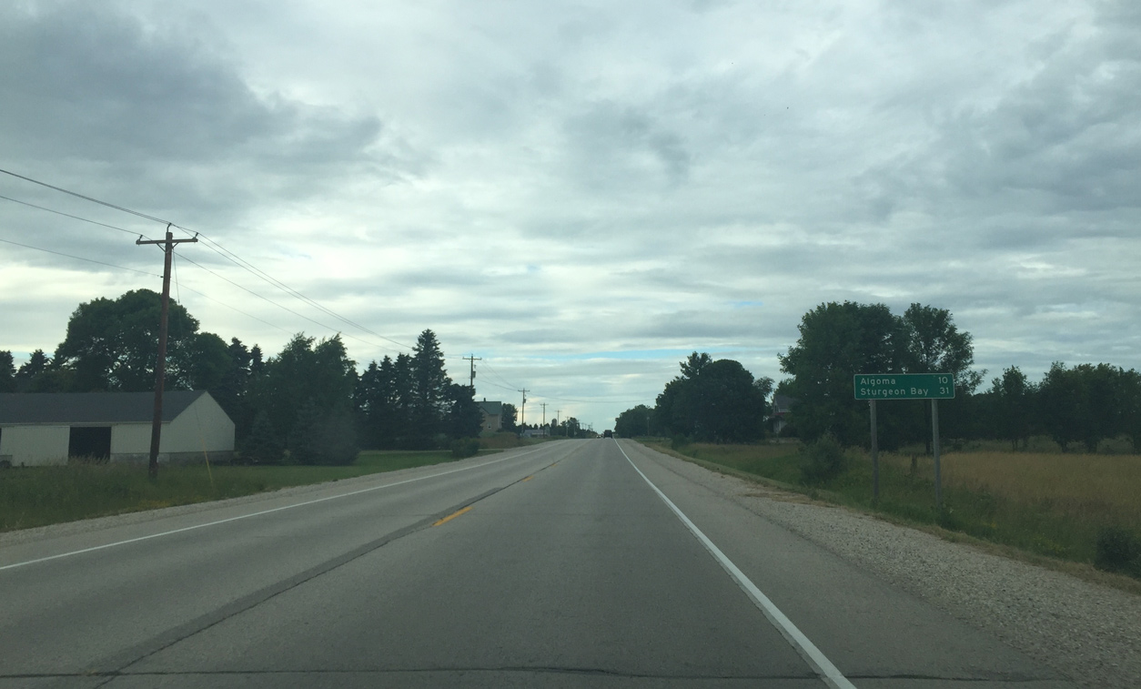
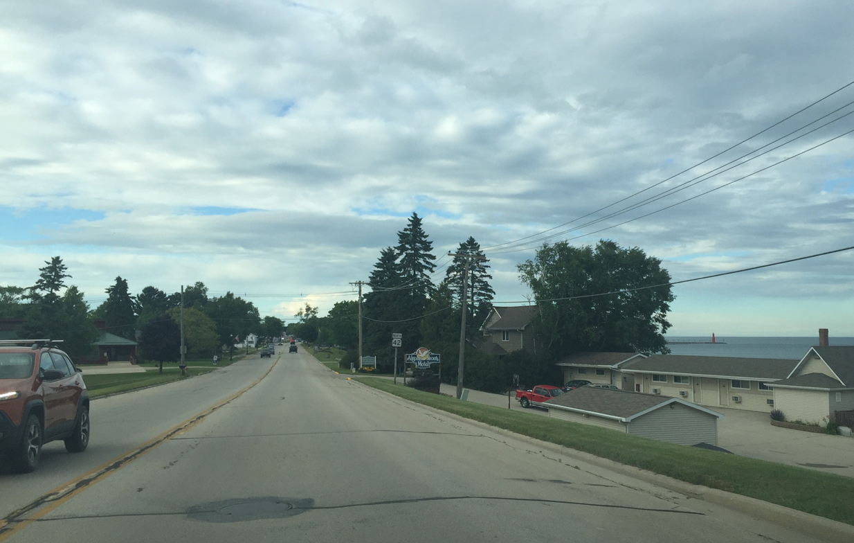
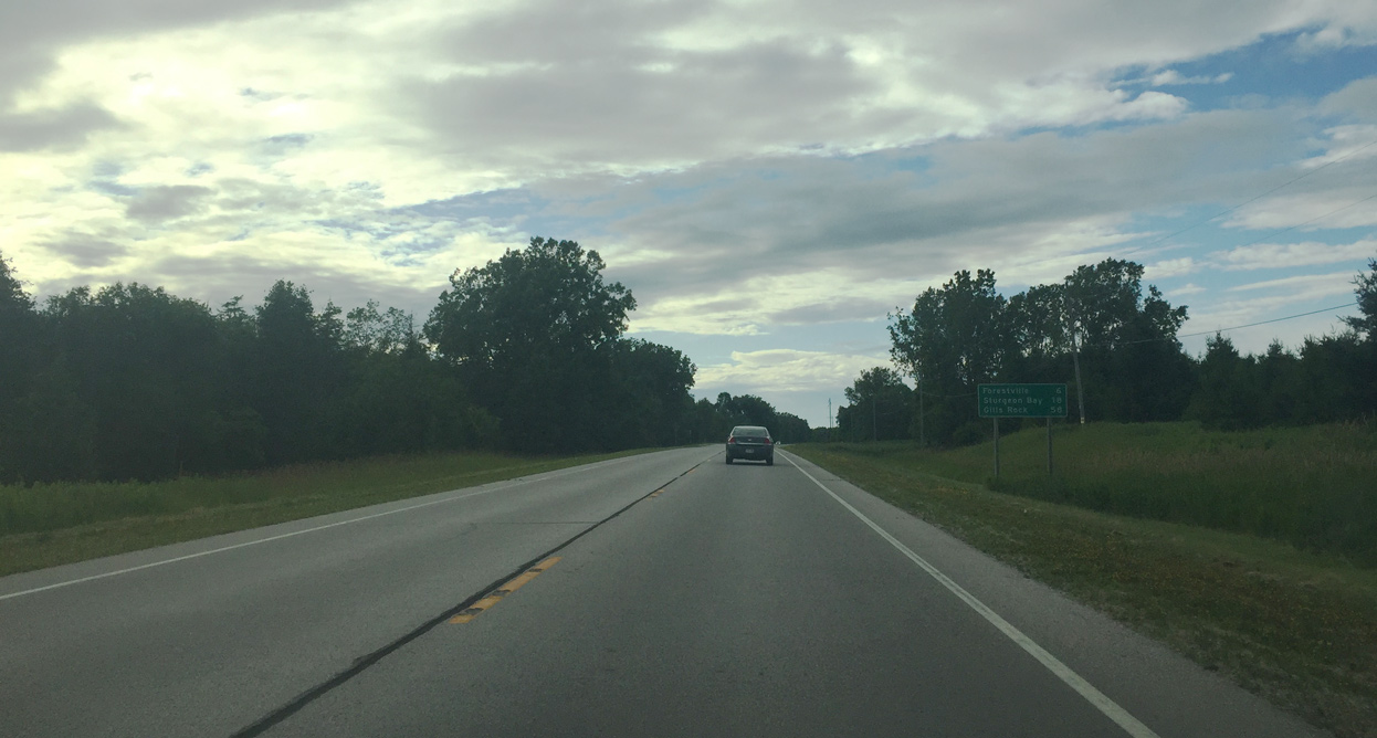
| Algoma is 10 miles away 07/08/16 |
|
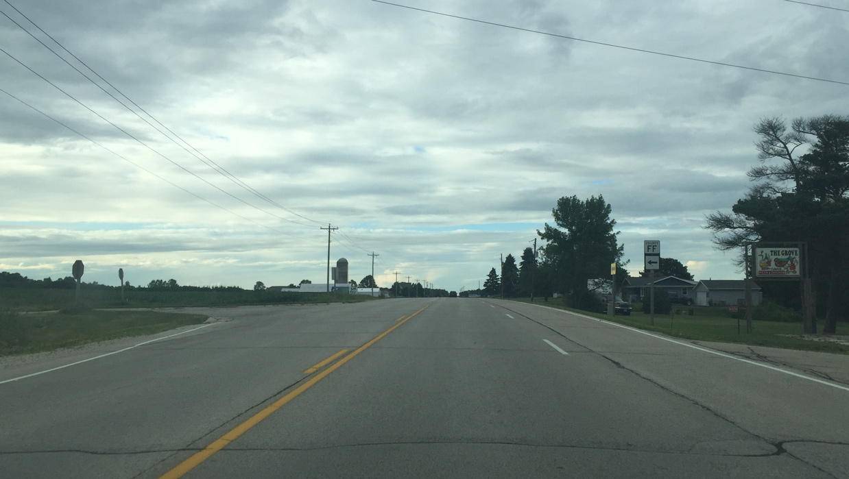
| County FF intersection 07/08/16 |
|
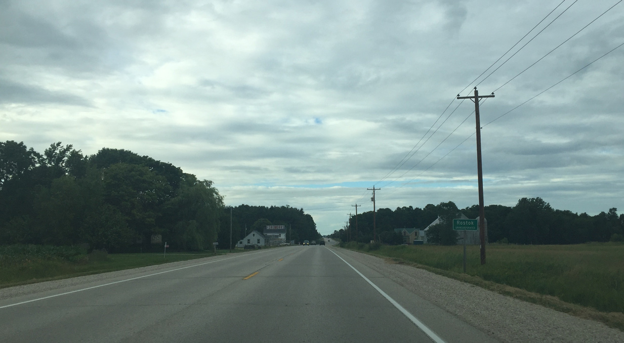
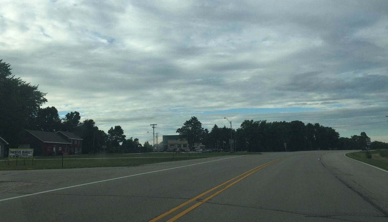
| The settlement of Rostok lies at the crossroads of STH 42 and 1st Road. 07/08/16 |
|
| A handful of buildings line Wis 42 at Rostok. 07/08/16 |
|
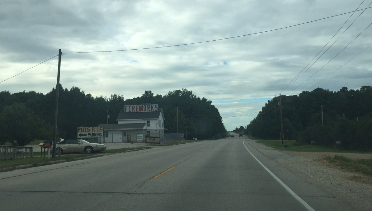
| County O intersection 07/08/16 |
|
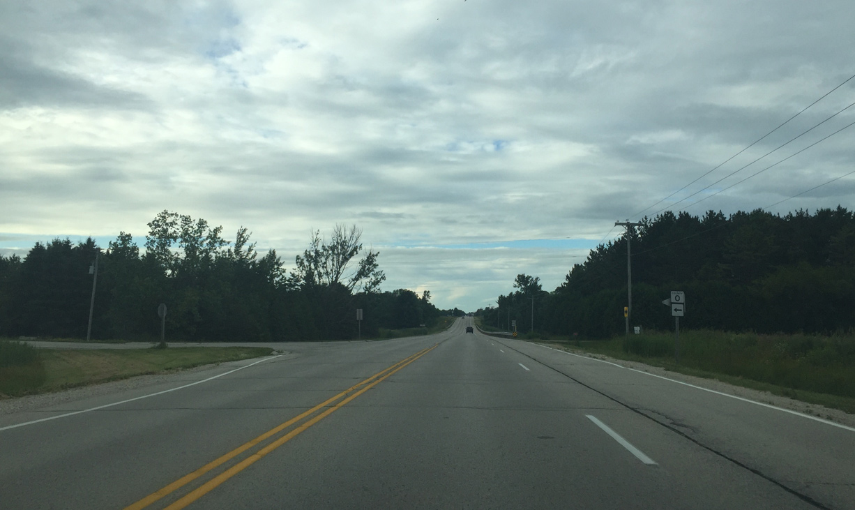
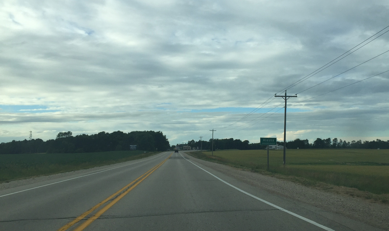
| County D enters Alaska 07/08/16 |
|
| Wis 42 passes through Alaskan Golf Club east of CTH D and East Alaska Lake. 07/08/16 |
|
| STH 42 progresses east toward Lake Michigan from Alaska. 07/08/16 |
|
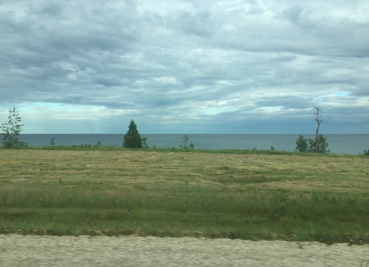
| Lake Michigan comes into view again along the east side of STH 42 ahead of 8th Road. 07/08/16 |
|
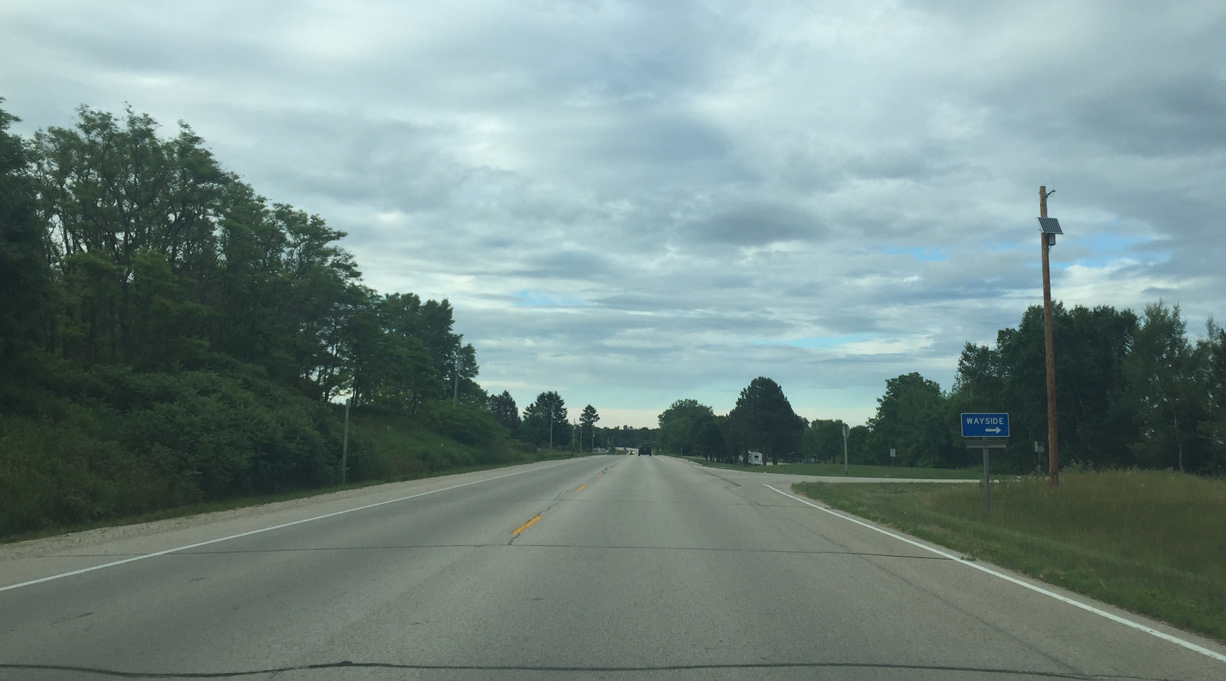
| A seasonal Wayside park precedes 9th Road along STH 42 north in the town of Pierce. 07/08/16 |
|
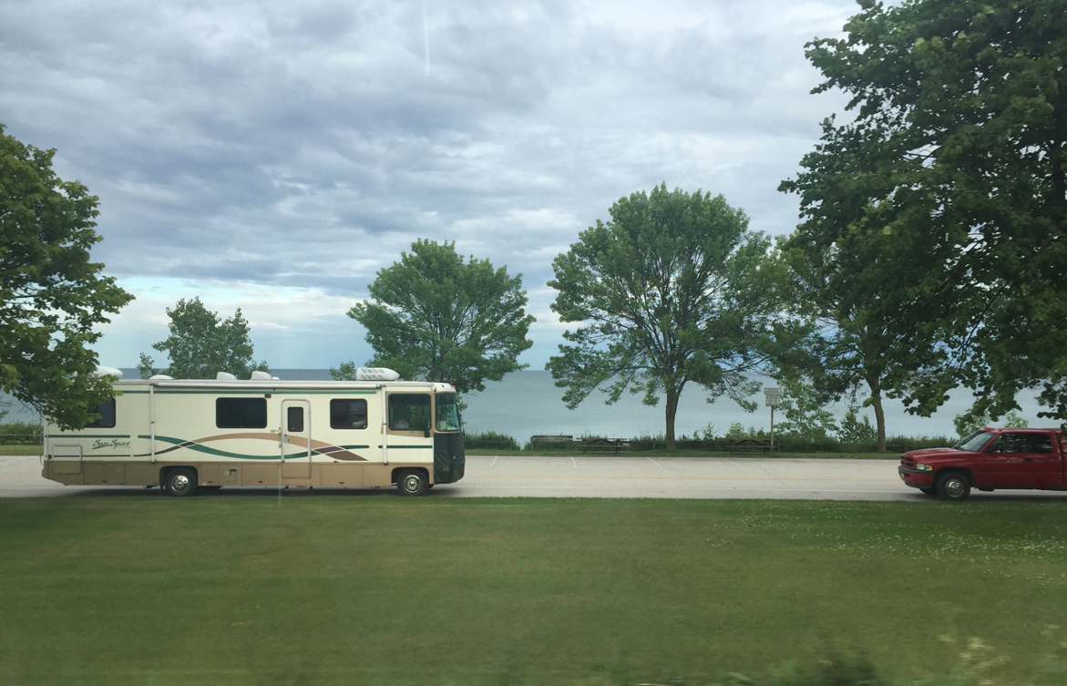
| The Wayside is a small park along Lake Michigan 07/08/16 |
|
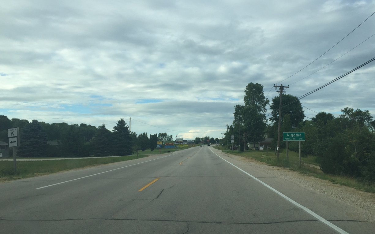
| STH 42 crosses the Algoma city line northbound at County K west. 07/08/16 |
|
| STH 42 (Lake Street) north at a residential area in Algoma beyond Feld Street. 07/08/16 |
|
| An old reduced speed ahead sign stands ahead of South Street. 07/08/16 |
|
| Algoma lighthouse appears to the northeast from Wis 42 ahead of Downtown. 07/08/16 |
|
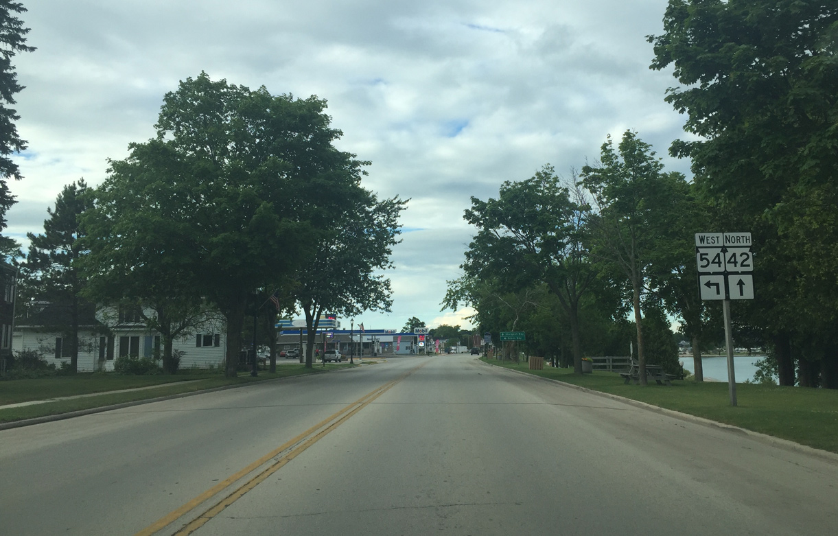
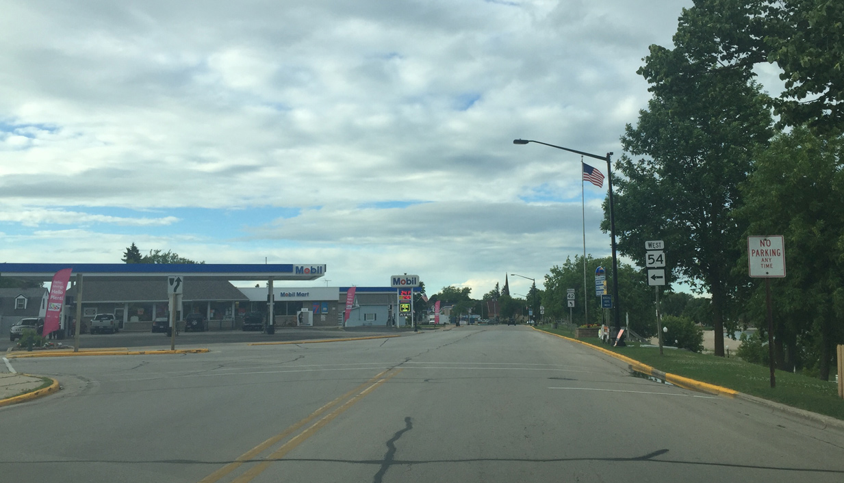
| Approaching Wis 54 (Jefferson Street) 07/08/16 |
|
| Wis 54 begins its 243 mile long westward course across Wisconsin to Winona, Minnesota from Wis 42 (Lake Street). 07/08/16 |
|
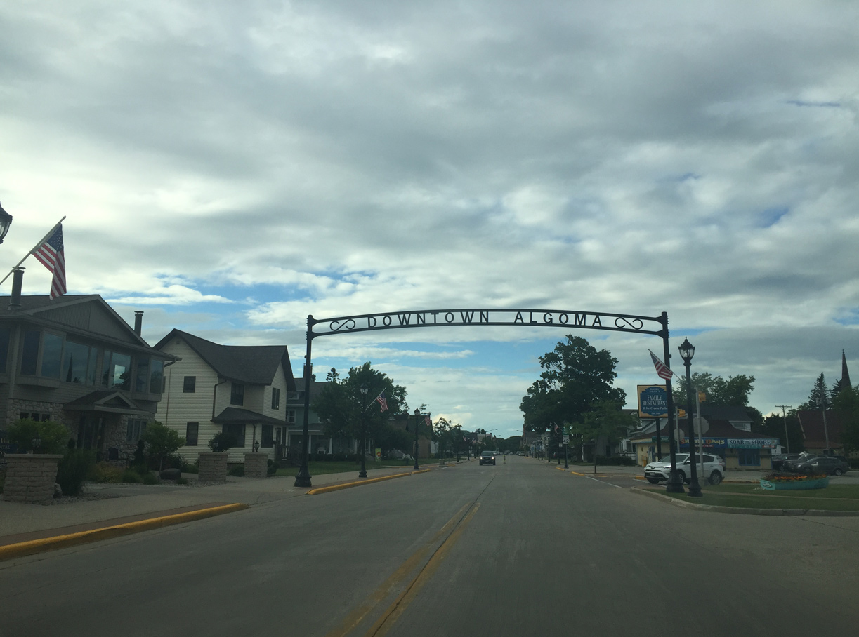
| Gateway to Downtown Algoma 07/08/16 |
|
| Wis 42/Lake Michigan Circle Tour sign at 4th and Washington Streets. 07/08/16 |
|
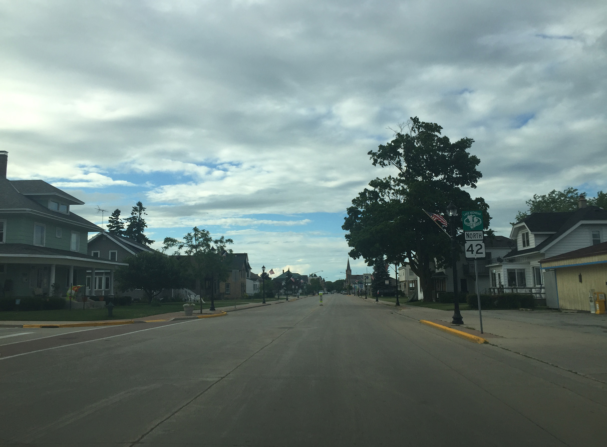
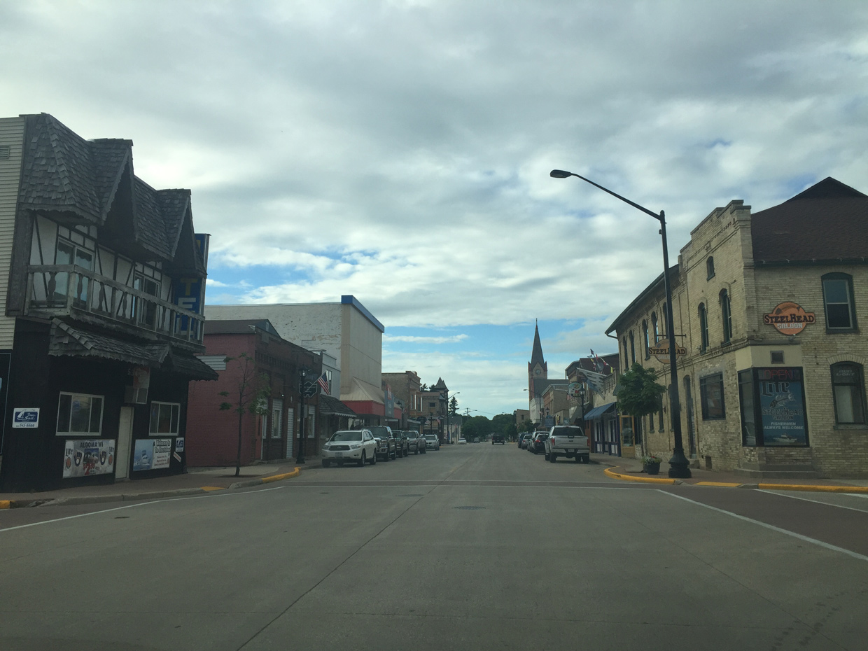
| STH 42 (4th Street) north at Clark Street in Downtown Algoma. 07/08/16 |
|
| The Anhappee River parallels Wis 42 north to Olson Park in Algoma. 07/08/16 |
|
| Forestville is the next community followed by Sturgeon Bay. Wis 42 ends just past Gills Rock. 07/08/16 |
Page Updated 10-28-2019.