Wis 310 was designated in the early 1980s when I-43 was constructed, providing a direct state trunk highway connection between Two Rivers and the freeway. It generally follows the former route of County D. Wis 310 was designated as a connector route in Wisconsin's Corridors 2030 plan, which identifies it as an important regional corridor and gives it priority for improvements.
The City of Two Rivers passed a resolution asking the Wisconsin Department of Transportation (WisDOT) to make Wis 310 four lanes so it can have a high quality roadway connect with the city. WisDOT responded to Two Rivers by making Wis 310 a high quality roadway by improving the existing roadway. An improvement project in 2008 reconstructed most of Wis 310 which included two new traffic signals, a new West Twin River bridge, and three new roundabouts. Currently there are no other official plans to make Wis 310 four lanes.
|
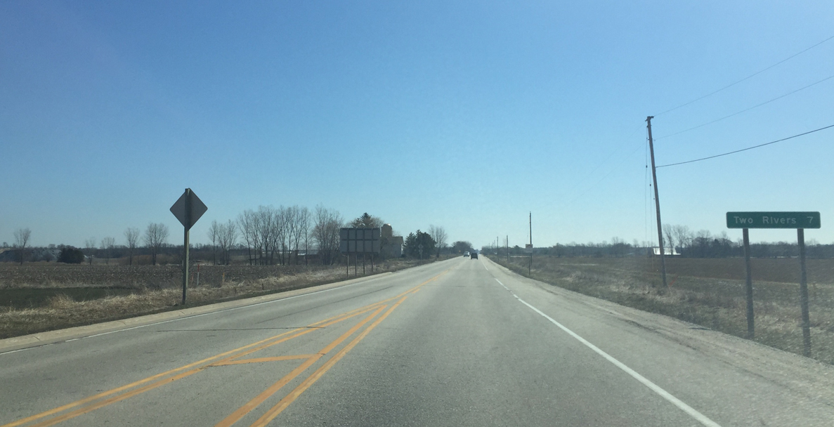
| Wis 310 begins after U.S. 10 departs with I-43 south. The state trunk highway stretches 8.7 between I-43 and US 10 and Two Rivers. 04/16/16 |
|
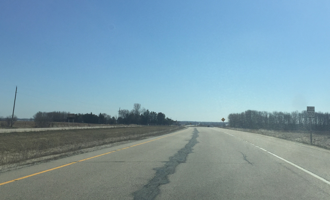
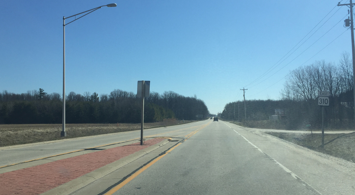
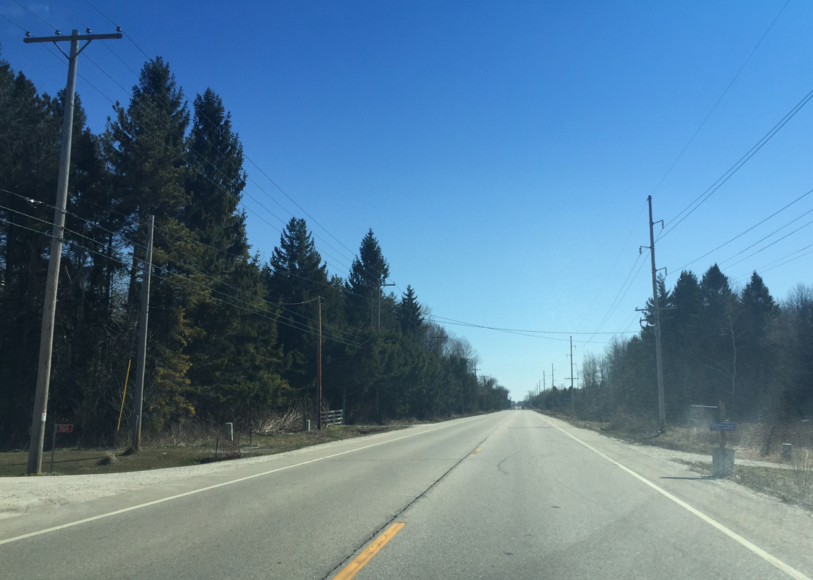
| First Wis 310 reassurance sign as Wis 310 narrows to 2 lanes beyond the I-43 interchange. The first mile of STH 310 represents the former alignment of US 10 before the US highway was siphoned onto the freeway in 1984. 04/16/16 |
|
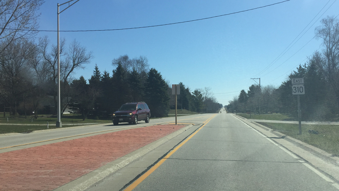
| Another reassurance shield stands along STH 310 east past Wagon Wheel Road. 04/16/16 |
|
| Wis 310 approaches the roundabout intersection for Manitowoc County R (Rapids Road). County R is the former route of U.S. 141 before I-43 was constructed. 04/16/16 |
|
| The intersection consists of a single lane roundabout with County R (Rapids Road) extending north and south. CTH R follows Rapids Road south to Kellers Corner and north to Rockwood. 04/16/16 |
|
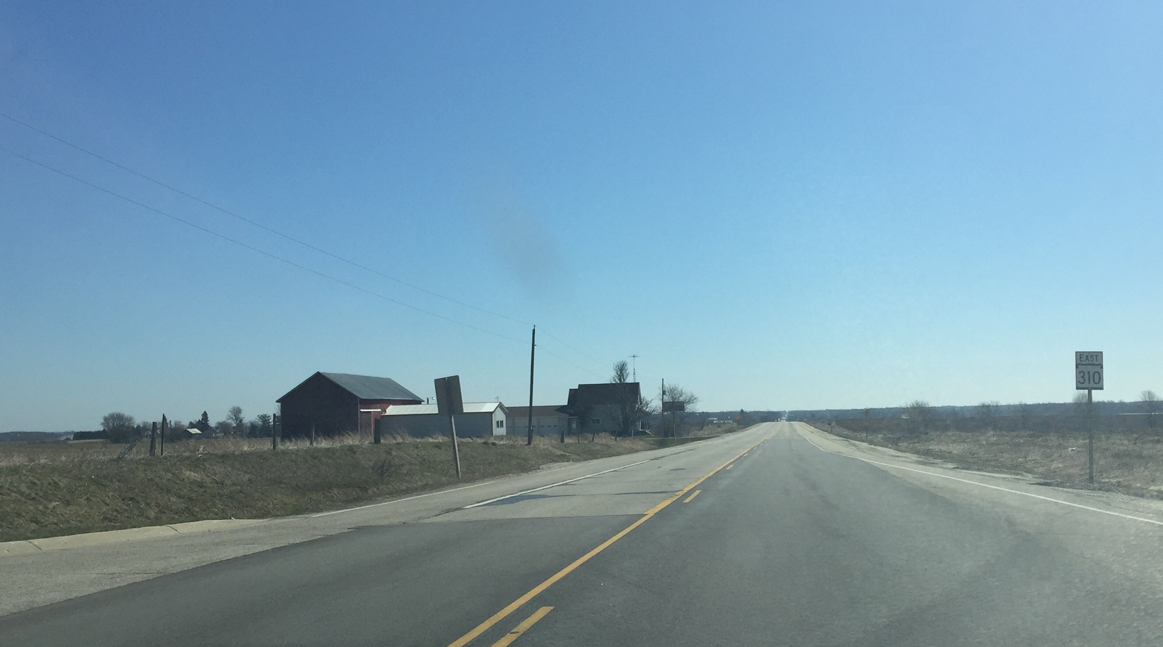
| STH 310 continues east from Manitowoc County R. Two Rivers lies 7 miles ahead. 04/16/16 |
|
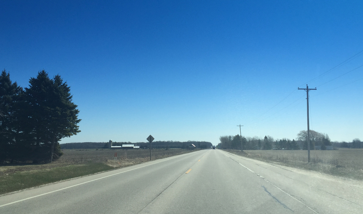
| Wis 310 cuts through farm land en route to Two Rivers. Manitowoc County Q lies next. 04/16/16 |
|
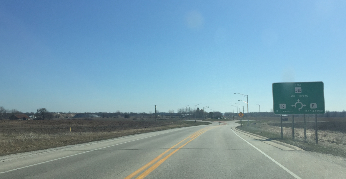
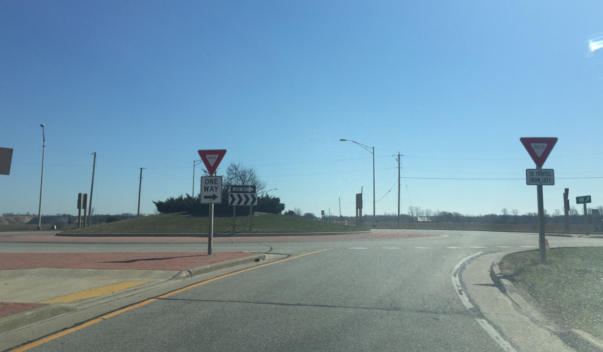
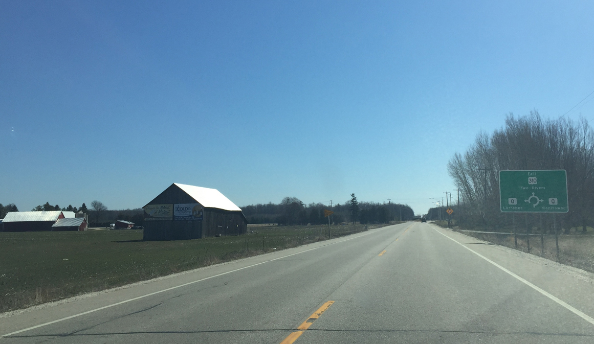
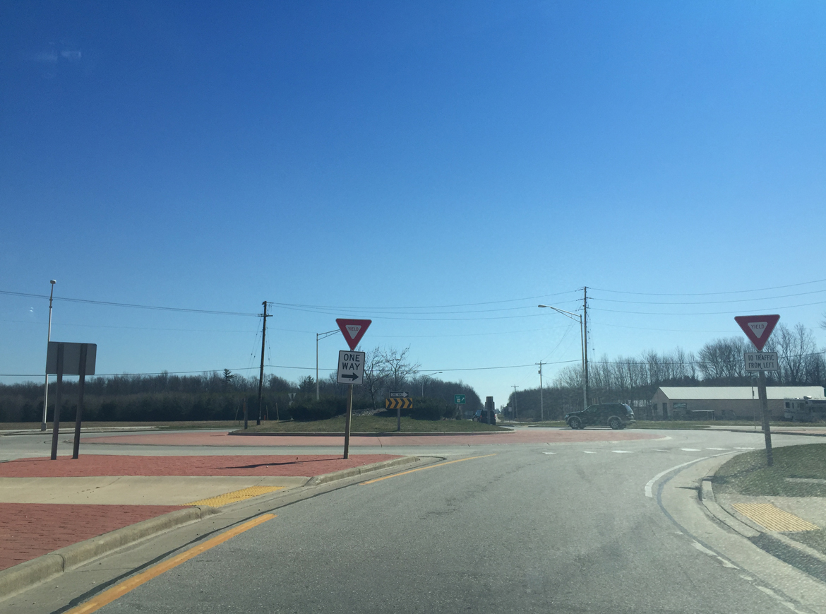
| A roundabout also governs movements between STH 310 and County Q. To the south, CTH Q becomes 18th Street within Manitowoc and represents a busy north south arterial. It was once designated to U.S. 10, but now ends at the city limits. 04/16/16 |
|
| Manitowoc County Q stems north from Wis 310 to the community of Kingsbridge. 04/16/16 |
|
| Wis 310 continues east toward Two Rivers beyond the roundabout with CTH Q. The state trunk highway will meet County B in 0.9 miles. 04/16/16 |
|
| Motorists pass by the Knollwood Memorial Gardens cemetery en route to the intersection with Manitowoc County B. County B heads south from Wis 310 to end in Manitowoc at U.S. 10 and Wis 42 (Waldo Road). 04/16/16 |
|
| Entering the roundabout intersection with CTH B along STH 310 east. County B leads to Mishicot to the north. The county trunk highway was extended further when Wis 163 was turned back to local control in the early 2000s. Once a 4-way stop, the intersection was redesigned into a single lane roundabout sometime between 2009 and 2013. 04/16/16 |
|
| This confirmation marker stands along Wis 310 beyond County B. Downtown Two Rivers now lies 5.2 miles ahead. 04/16/16 |
|
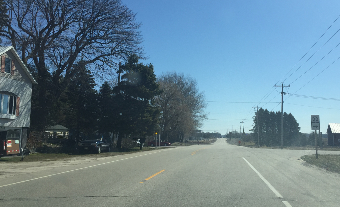
| Manitowoc County DD stems south from STH 310 along Mirro Drive. The spur of former CTH D follows all of Mirro Drive to STH 42 on the northeast side of Manitowoc. 04/16/16 |
|
| Wis 310 passes by the Woodland Dunes Nature Center and Preserve as it nears Two Rivers. The 1300 acre preserve features nature trails, as well as a nature center and butterfly garden. 04/16/16 |
|
| STH 310 (Hawthorne Avenue) east officially enters Two Rivers as it bends southeast. 04/16/16 |
|
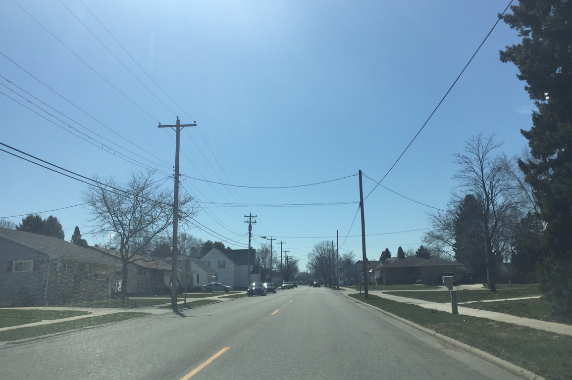
| Hawthorne Avenue carries Wis 310 through residential areas to the west of the West Twin River branch. 04/16/16 |
|
| Wis 310 east prepares to turn left onto 14th St from Hawthorne Avenue. 04/16/16 |
|
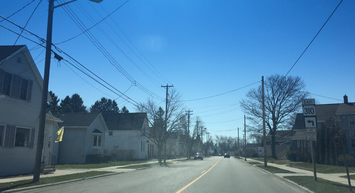
| 14th Street continues the state trunk highway a short distance east to Madison Street. 04/16/16 |
|
| STH 310 (14th Street) makes one final turn north onto Madison Street at this signalized intersection. 04/16/16 |
|
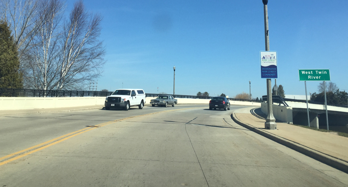
| Madison Street and Wis 310 span the West Twin River as the two curve east toward its end at Wis 42 (Washington Street). The bridge was improved by 2008 as part of enhancements along the Wis 310 corridor. 04/16/16 |
|
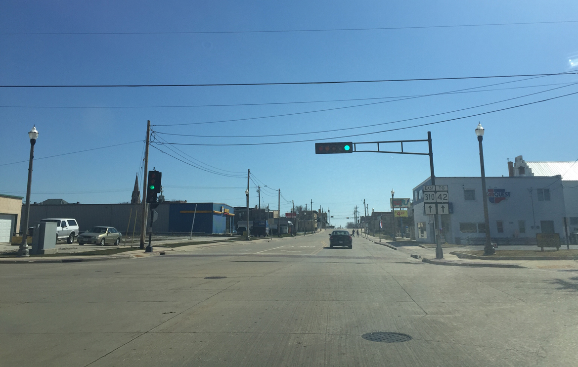
| Crossing Monroe Street, drivers bound for Wis 42 are directed to stay on Wis 310 (16th Street). Monroe Street, coupled with 22nd Street, provides a bypass for traffic wanting to avoid multiple signals along Wis 42 in Downtown Two Rivers. 04/16/16 |
|
| STH 310 prepares to end on the final approach to STH 42 (Washington Street). STH 42 stretches 137.8 miles from Sheboygan to Northport in Door County. 04/16/16 |
|
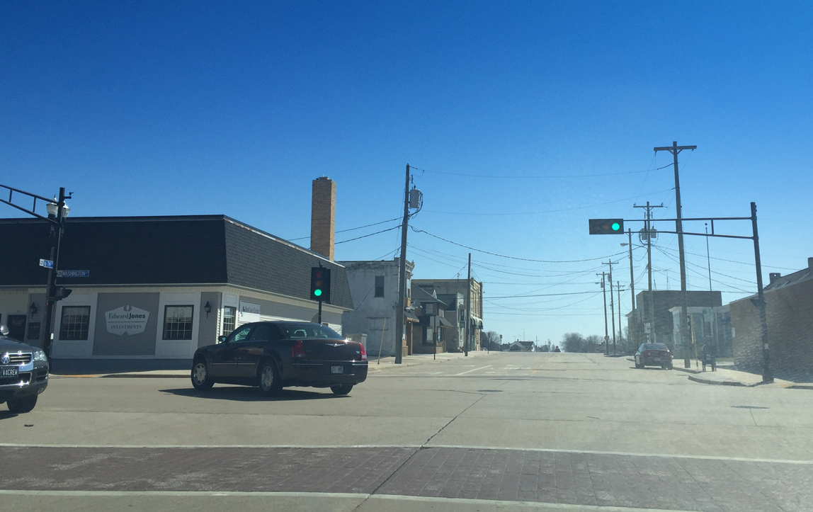
| Wis 42 enters Two Rivers along Washington Street traversing several city blocks before making a brief turn east along 22nd Street near the central business district. Wis 42 resumes a northward course along Lincoln Avenue toward Kewaunee and the Door County peninsula. 04/16/16 |
|
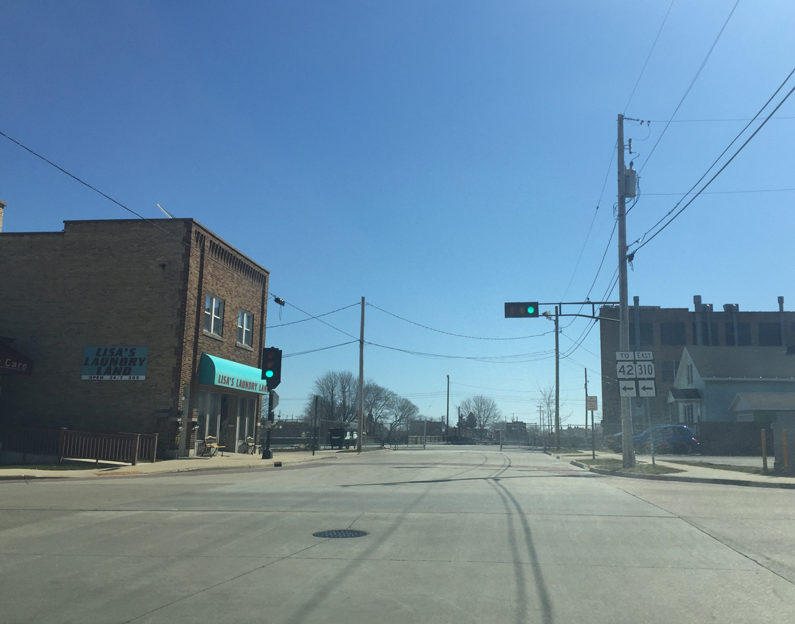
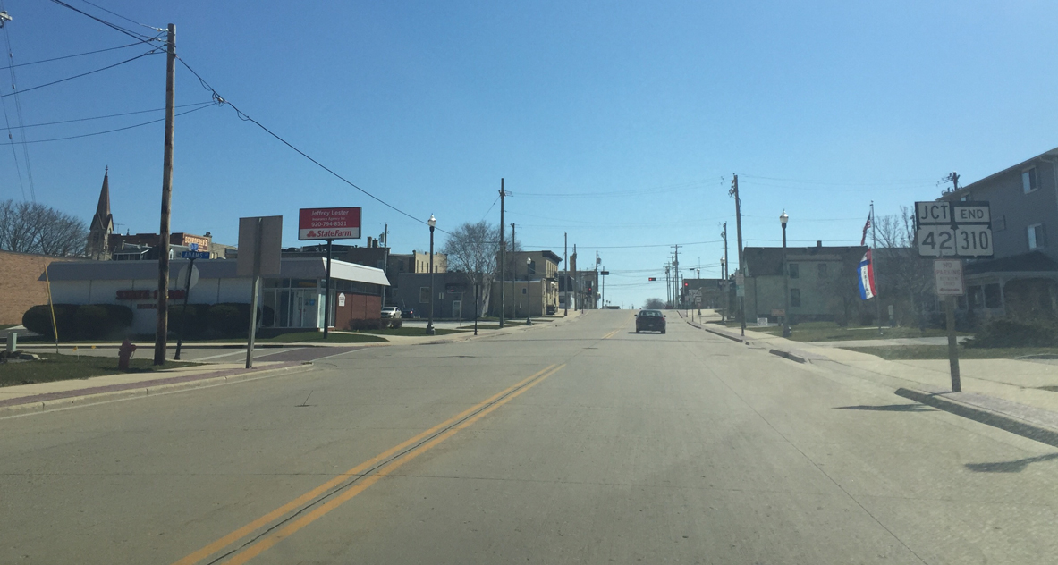
| STH 310 (16th Street) comes to an official end at this signalized intersection with STH 42. Otherwise, 16th Street continues east one more block to its end at Jefferson Street. 04/16/16 |
Page Updated 04-27-2016.