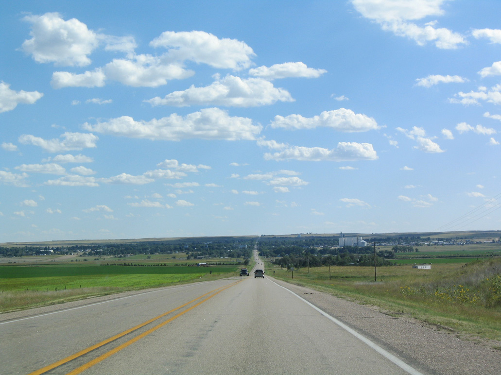
N-71 is part of a multi state highway from U.S. 350 near Timpas, Colorado north to U.S. 18-385 in Hot Springs, South Dakota. Measuring 170.05 miles in length, Highway 71 runs north from ahead of Kimball in the Nebraska Panhandle to Scottsbluff, Crawford and the South Dakota line through Ogalala National Grassland.
N-71 between Limon, Colorado and Scottsbluff is part of the Heartland Expressway Corridor. Part of High Priority Corridor 14, the Heartland Expressway was envisioned as a four lane highway between Colorado Springs, Colorado and Rapid City, South Dakota via Limon, Kimball, Scottsbluff, and Alliance in 2015.
Sections of formerly two lane highway along N-71 were widened into a four lane, divided highway through the 1990s and 2000s. The bulk of the widening occurred between north of Kimball and south of Gering. The next major section of expressway opened in October 2005 on the Gering-Scottsbluff bypass on the east side of the cities.
According to Matt Salek's former Colorado Highways webpage, Colorado State Highway 71 was commissioned in the 1920s. According to Chris Geelhart's former Nebraska Highways webpage, N-71 was commissioned in 1964 and SD 71 was commissioned in 1962. This common numbering provided a consistent route between eastern Colorado and the Black Hills.
|
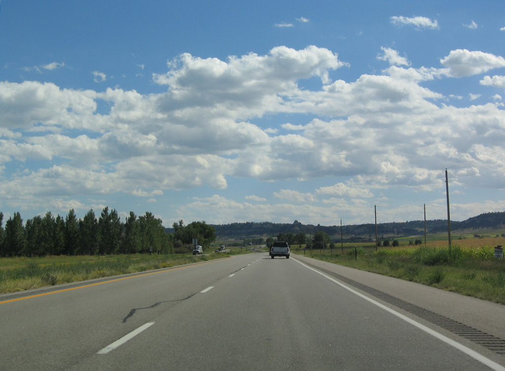
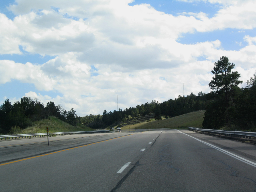
| N-71 (Heartland Expressway) south of County Road T and Cedar Valley. 09/06/04 |
|
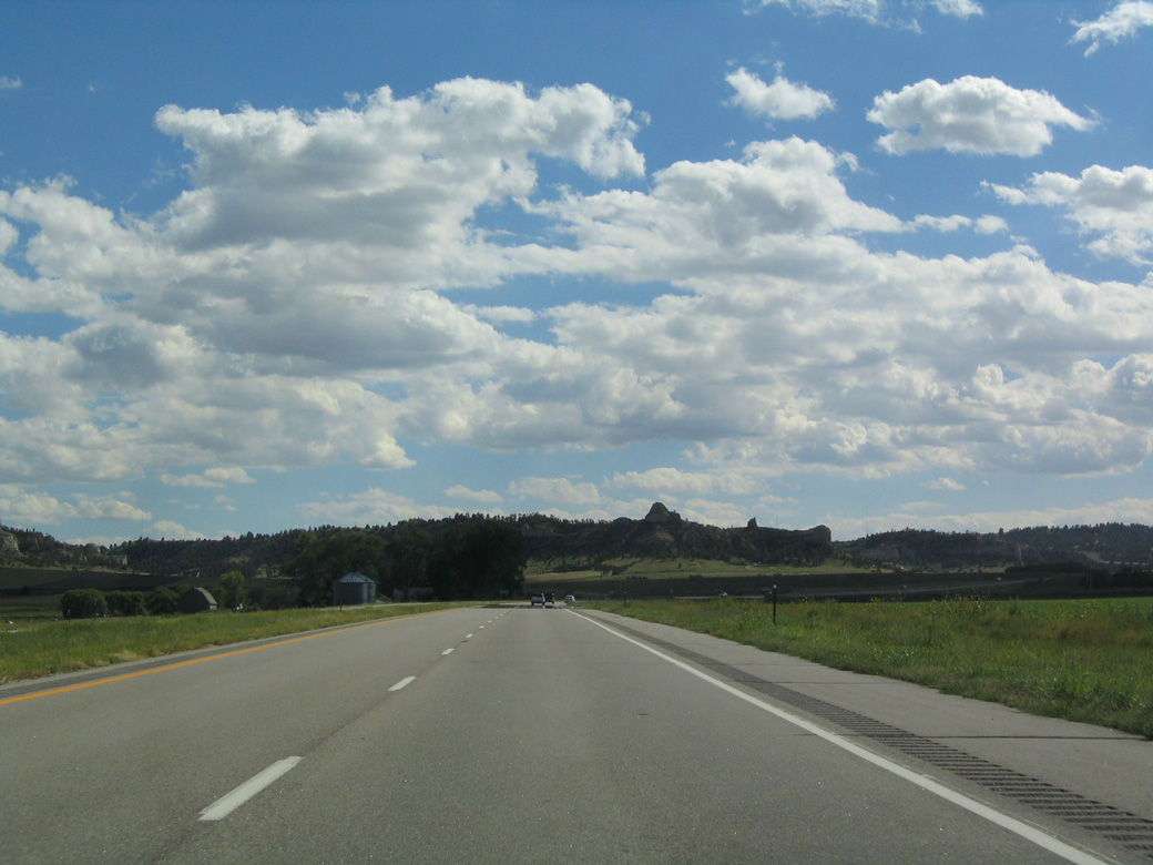
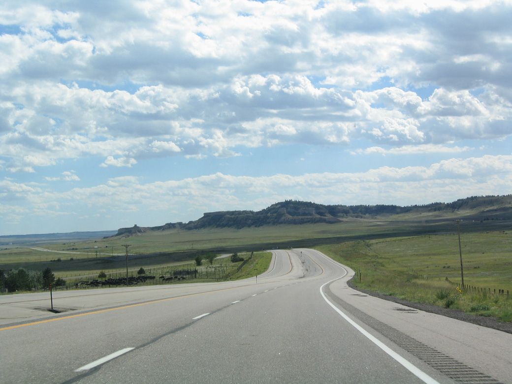
| The Heartland Expressway advances south into the Wildcat Hills. 09/06/04 |
|
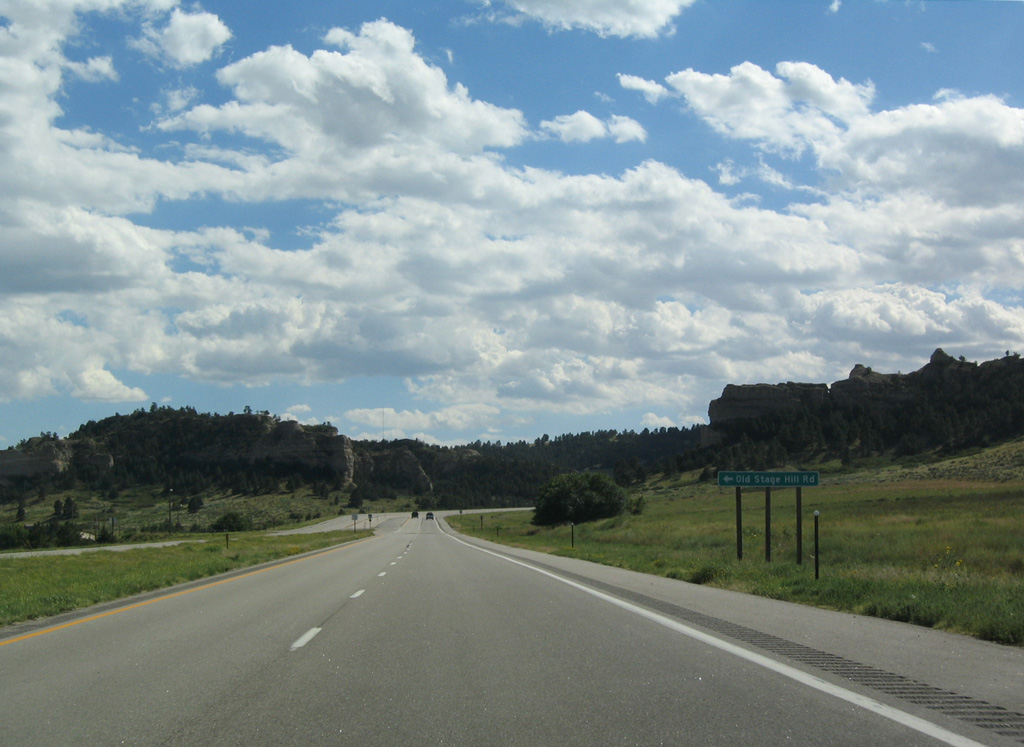
| Old Stage Hill Road follows the original alignment of N-71 across Wildcat Hills. 09/06/04 |
|
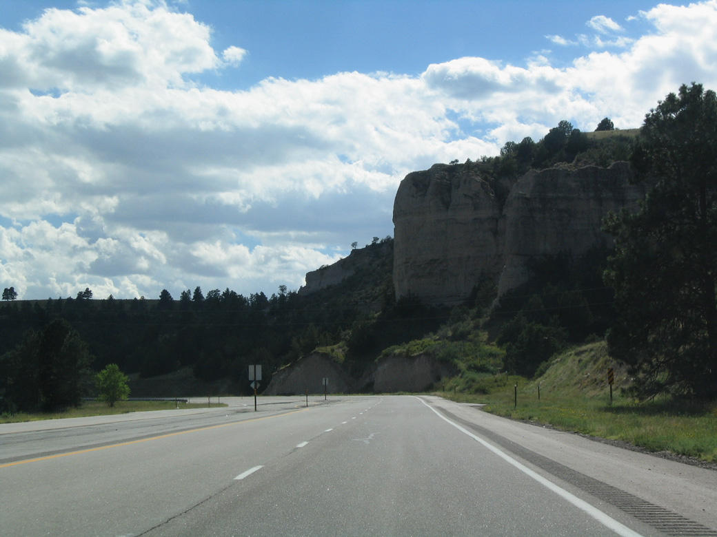
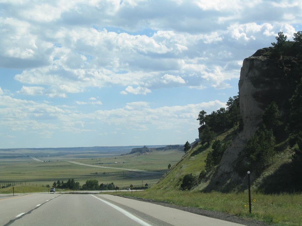
| Sandstone cliffs and tan rock formations line N-71 as the Heartland Expressway traverses the Wildcat Hills. 09/06/04 |
|
| Unlike much of the rest of the Heartland Expressway, N-71 across the Wildcat Hills was designed with only a paved median, rather than a grassy or barrier median. 09/06/04 |
|
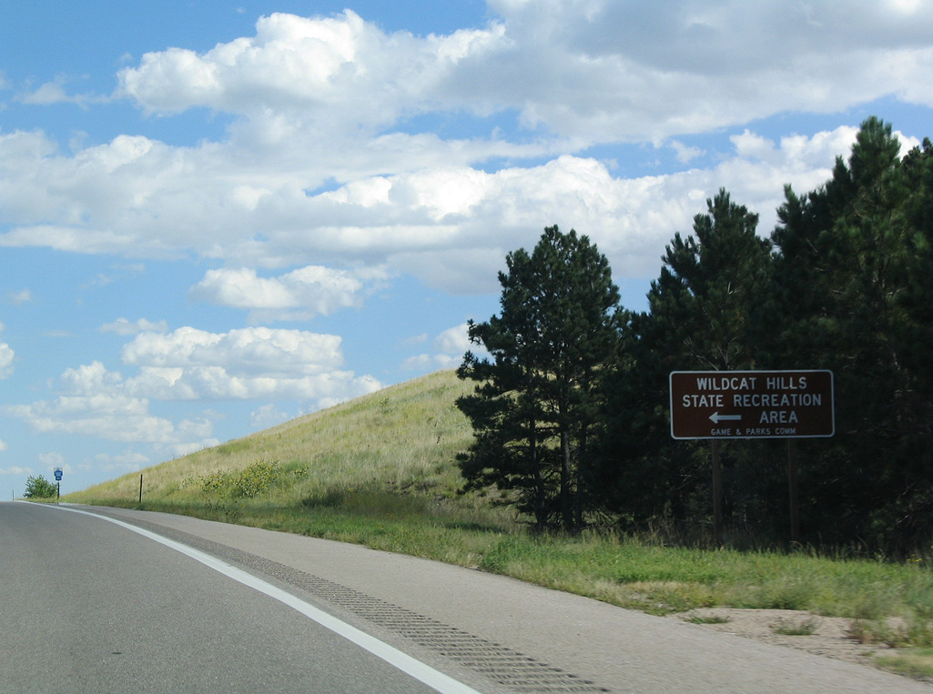
| Wildcat Hills State Recreation Area lines the east side of N-71 through much of the Wildcat Hills. The parking area and facilities for the park are located by Stage Hill. 09/06/04 |
|
| Unlike the high prairie below, the Wildcat Hills are populated by trees. 09/06/04 |
|
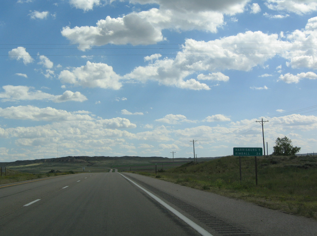
| Sparsely populated, Banner County spreads across 746 square miles. The lone town is the county seat of Harrisburg. 09/06/04 |
|
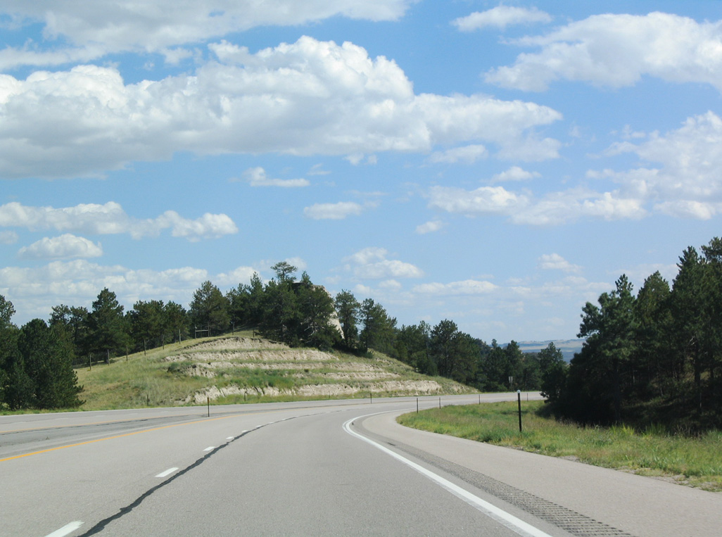
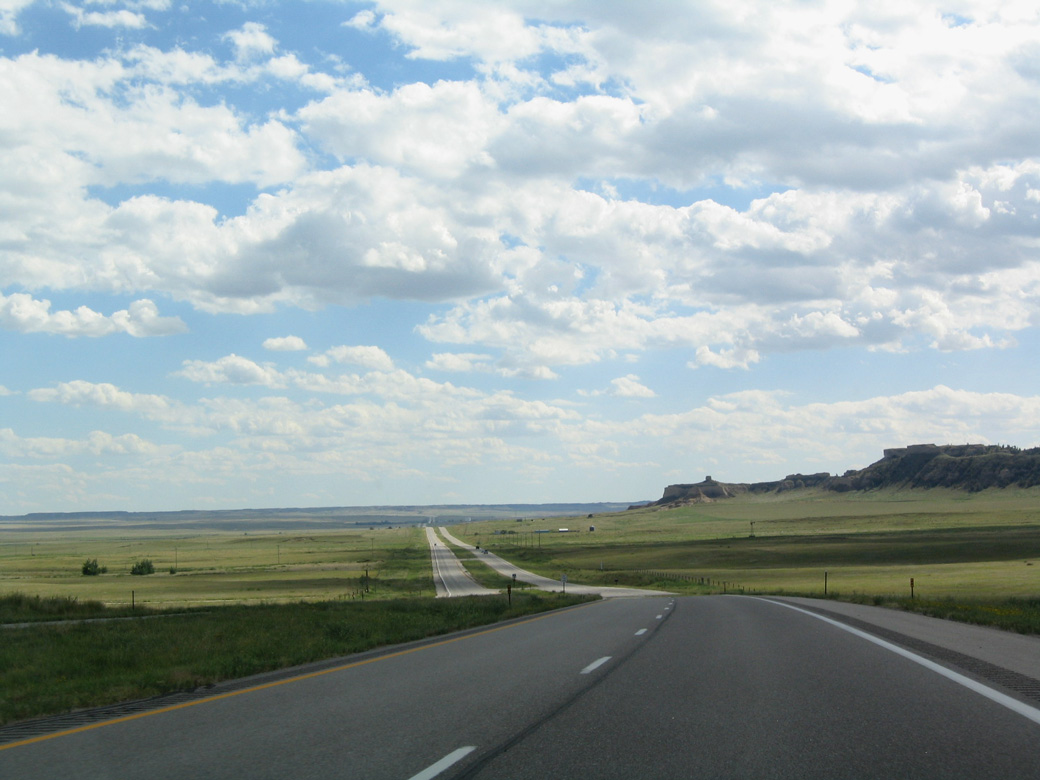
| N-71 descends from the Wildcat Hills west of Dooley Canyon. 09/06/04 |
|
| Rising to the west of the Heartland Expressway, Hogback Mountain, which has an elevation of 5,062 feet above seal level, represents the high point of the Wildcat Hills. 09/06/04 |
|
| Distant funnel Rock appears toward the eastern tip of the hills near Wildcat Mountain. 09/06/04 |
|
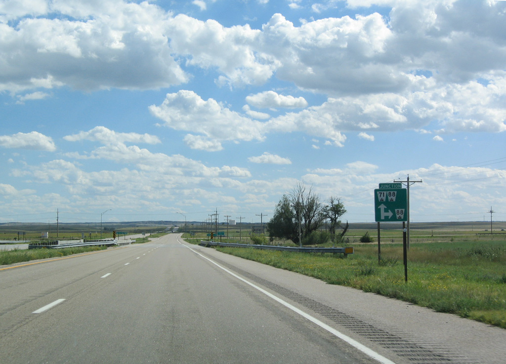
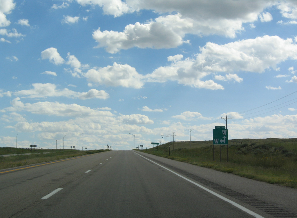
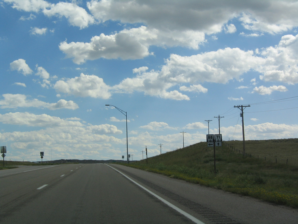
| The Heartland Expressway converges with N-88 east just south of Pumpkin Creek. 09/06/04 |
|
| N-88 traverses Clay Springs Draw and Bull Canyon on the 25 miles leading to La Grange, Wyoming. 09/06/04 |
|
| N-88 stems 19.51 miles west from N-71 to become WY 151 in Goshen County, Wyoming. 09/06/04 |
|
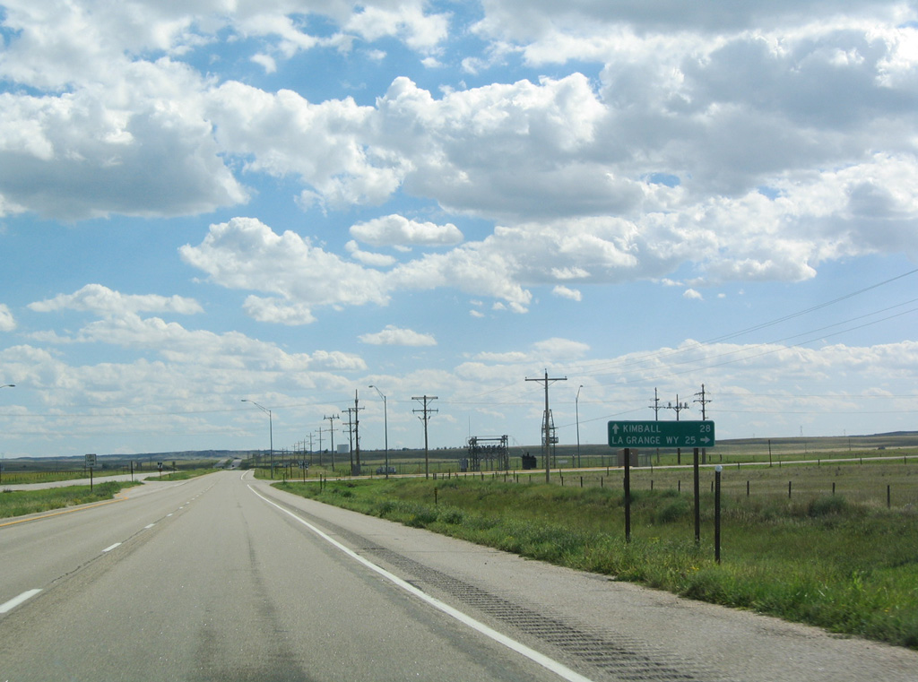
| N-88 combines with N-71 (Heartland Expressway) south for 4.07 miles. The Kimball County seat is 25 miles further. 09/06/04 |
|
| Likely carrying electricity from the North Platte River hydroelectric system and the various coal-fire plants in eastern Wyoming, two sets of power transmission lines cross N-71. 09/06/04 |
|
| N-88 resumes an eastern course from N-71 south at the succeeding intersection. 09/06/04 |
|
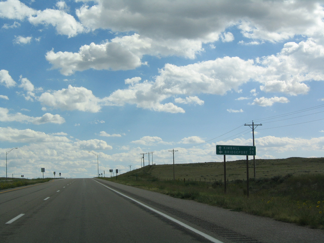
| Passing south of the Wildcat Hills, N-88 continues 35.38 miles east to U.S. 385/N-92 at the Morrill County seat of Bridgeport. 09/06/04 |
|
| N-88 travels by Bighorn Mountain (el. 4,720 feet) ahead of the unincorporated community of Redington. The highway turns north by Courthouse Rock to Bridgeport. 09/06/04 |
|
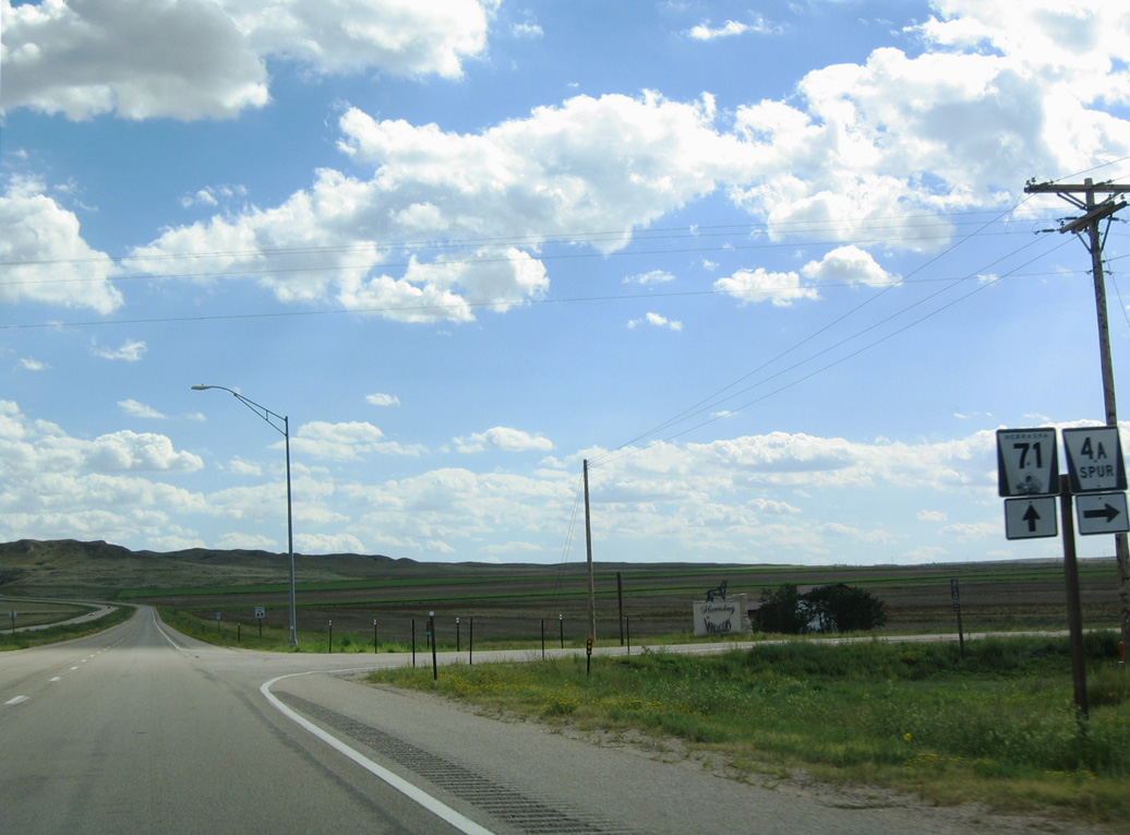
| Continuing south, N-71 meets Spur 4A west to Harrisburg in one mile. 09/06/04 |
|
| There are no services in the town of Harrisburg, where the 2020 Census recorded only 75 residents. 09/06/04 |
|
| S-4A constitutes a 4.07 mile long route west to the Banner County Courthouse along State Street in Harrisburg. 09/06/04 |
|
| Advancing south from S-4A, N-71 continues across treeless prairie. Located to the southwest is a large wind farm owned by the Municipal Energy Association of Nebraska (MEAN). The first year of operation was in 2002. 09/06/04 |
|
| Agriculture and ranching are primary economic drivers in this part of the country, despite the semi-arid climate, where about 14.4 inches of precipitation falls annually. 09/06/04 |
|
| The Heartland Expressway navigates through an S-curve to Rocky Hollow. 09/06/04 |
|
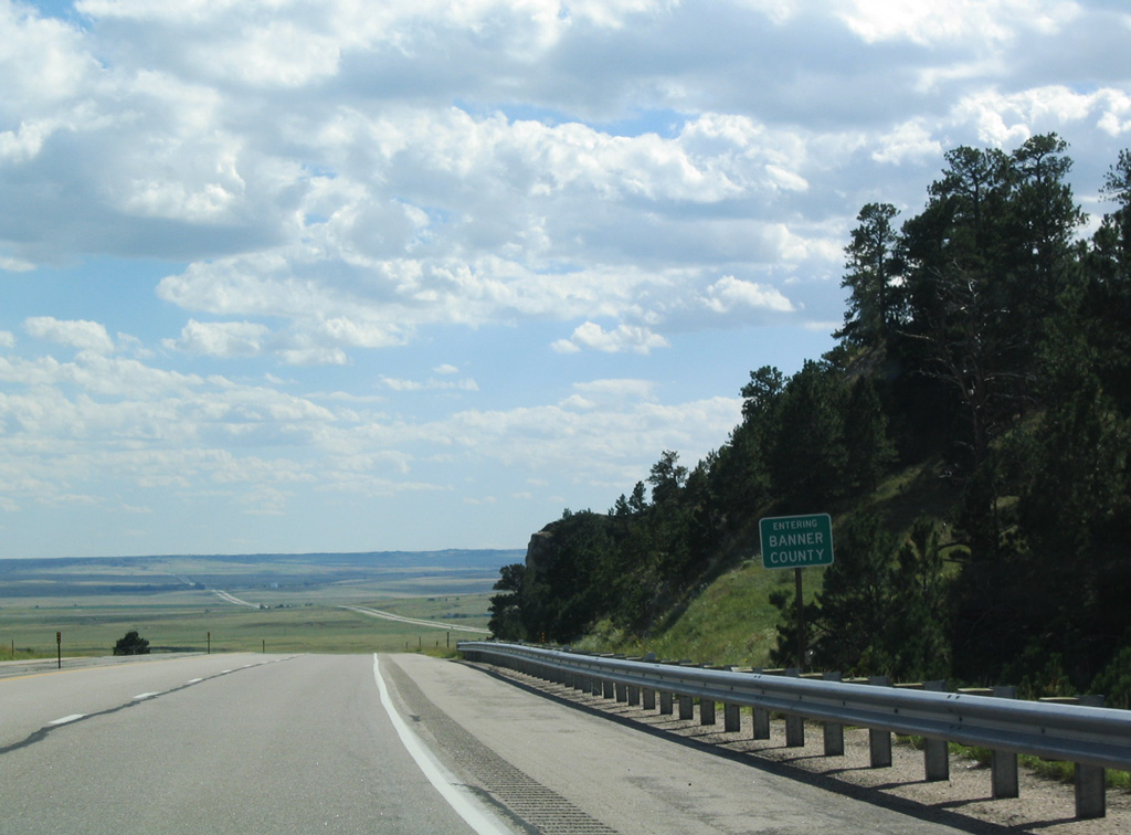
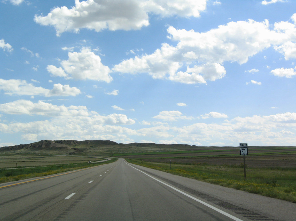
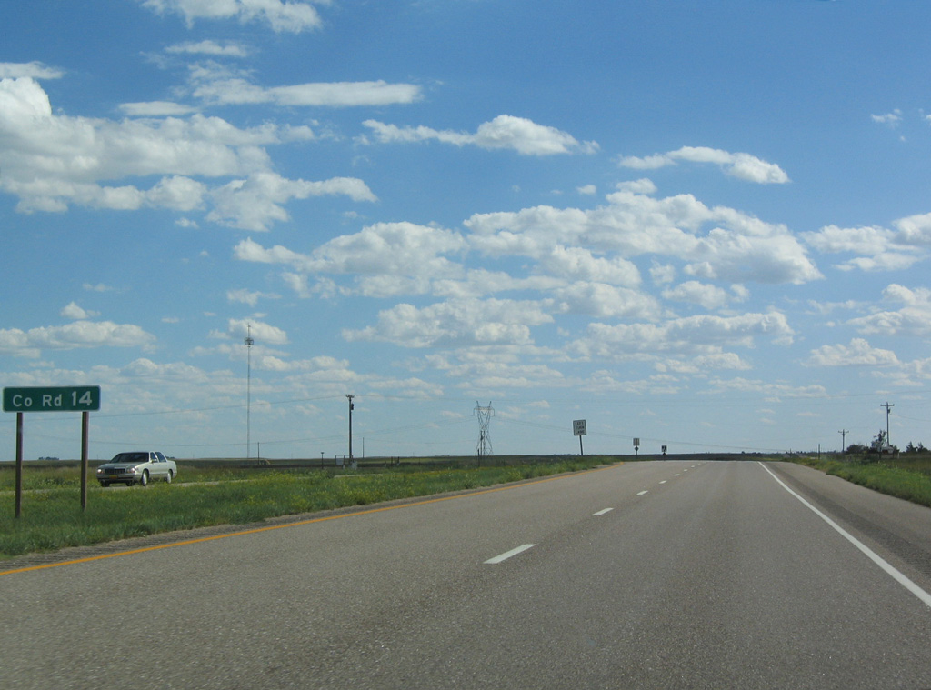
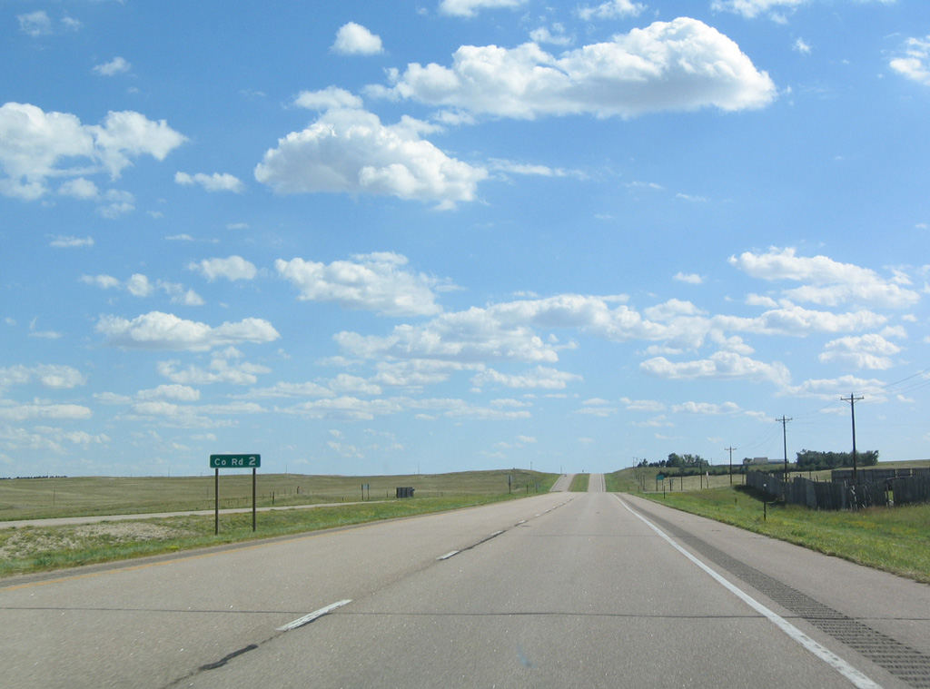
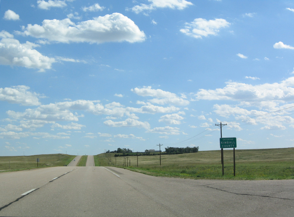
| N-71 crosses the Kimball County line south at CR 2. 09/06/04 |
|
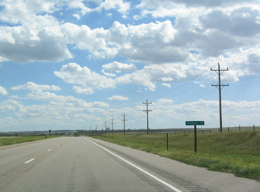
| The final distance along N-71 to the Colorado state line falls within Kimball County. 09/06/04 |
|
| The Heartland Expressway previously reduced to two lanes 2.5 miles north of the Kimball city limits. The four lane bypass of Kimball branches southeast and meets I-80 at Exit 22. 09/06/04 |
|
| The former two lane alignment of N-71 south into Kimball is locally maintained. A 3,000 foot long section of the old roadway sits abandoned to the west of the Heartland Expressway. 09/06/04 |
|
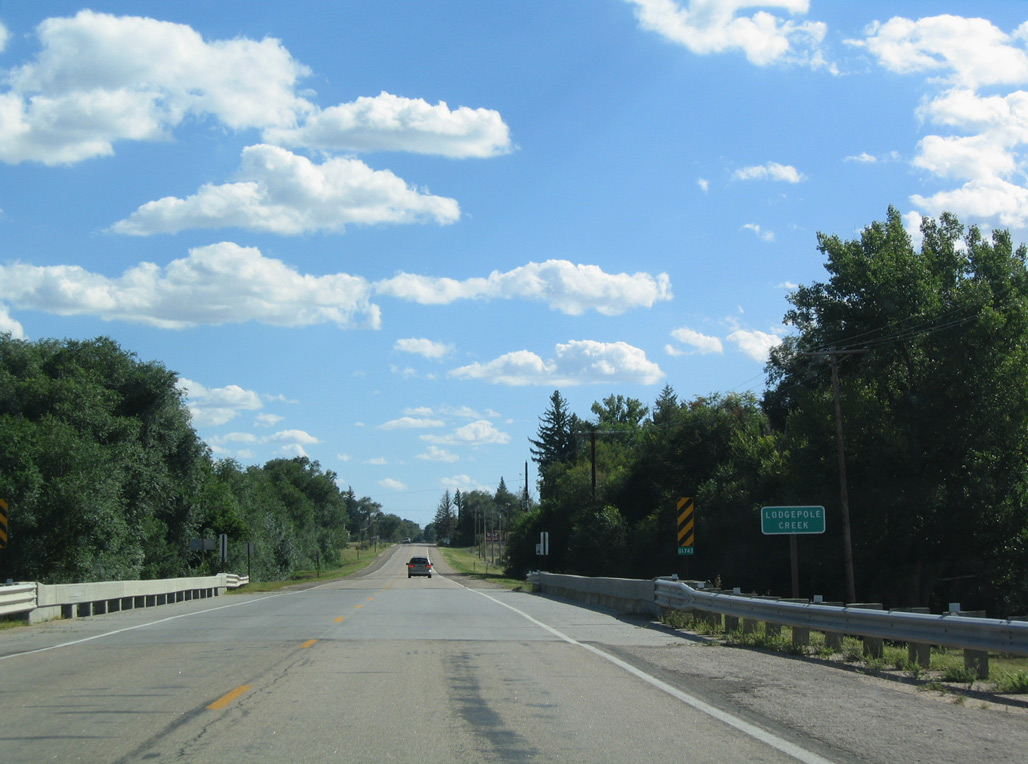
| Road 41E crosses Lodgepole Creek, a tributary of the South Platte River, just ahead of the Kimball city limits. 09/06/04 |
|
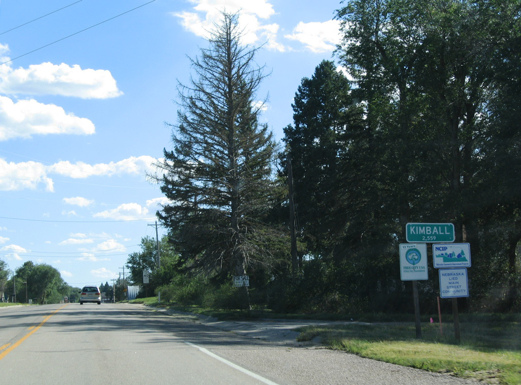
| Called "The High Point of Nebraska," Kimball is considered the gateway to western Nebraska due to its location on I-80 and the Heartland Expressway. The city is closest to the highest point in Nebraska, which is near the point where Nebraska, Wyoming and Colorado meet in the southwestern corner of the panhandle. 09/06/04 |
|
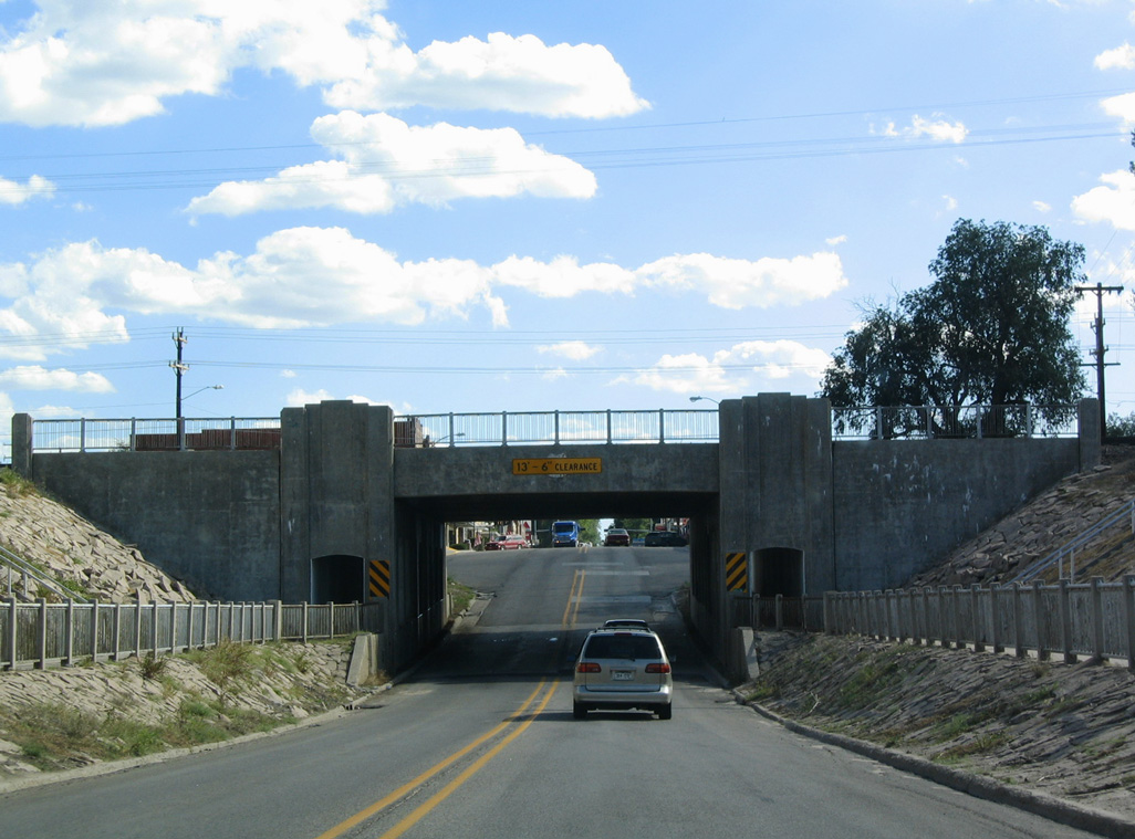
| Road 41E becomes Chestnut Street south ahead of a subway viaduct supporting the Union Pacific Railroad. 09/06/04 |
|
| Kimball was founded in 1867 as the Union Pacific Railroad pushed through western Nebraska. Known as Antelopeville, due to a nearby herd of antelope, Kimball was given its modern name in 1885, five years before the town became the seat of newly formed Kimball County. 09/06/04 |
|
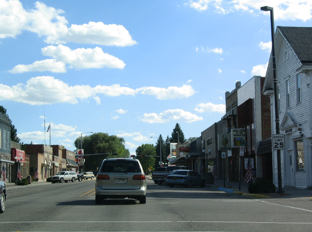
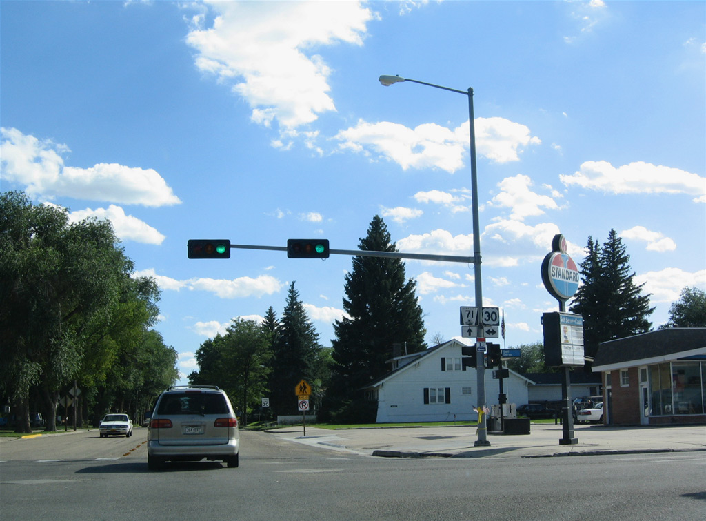
| Chestnut Street intersects U.S. 30 (3rd Street) south from Downtown Kimball. Although known as transportation center, Kimball's economy primarily focuses upon agriculture. Additionally, the area around Kimball has been home to missile silos, giving it the moniker "Missile City - U.S.A." 09/06/04 |
|
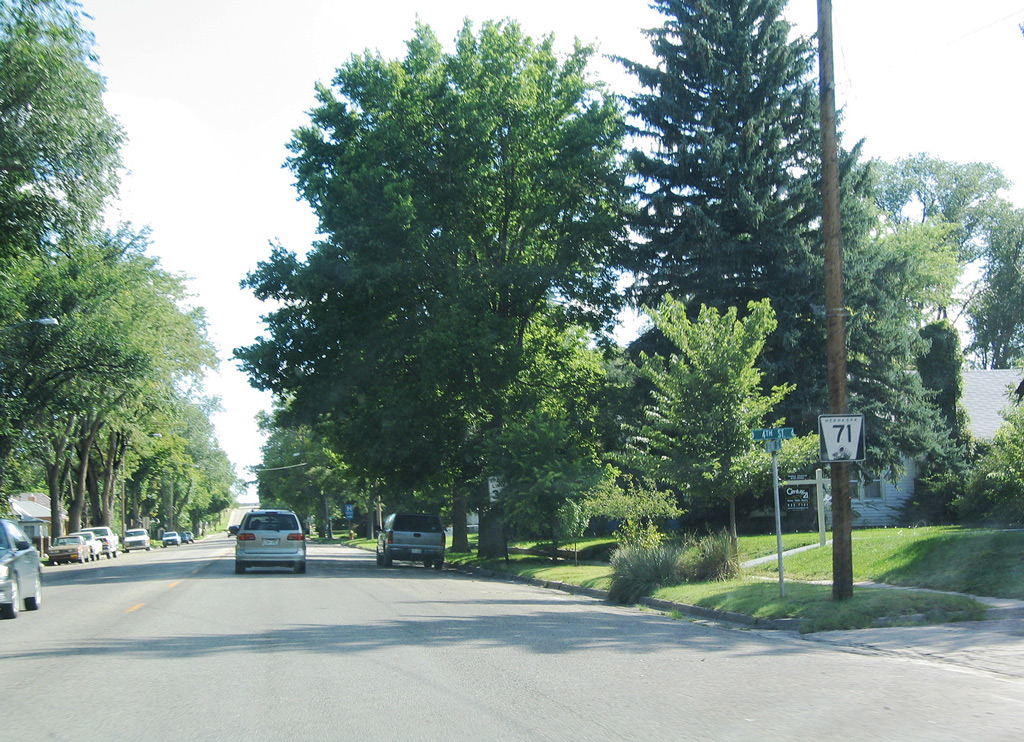
| Confirming marker for N-71 formerly posted south of U.S. 30 along Chestnut Street at 4th Street. 09/06/04 |
|
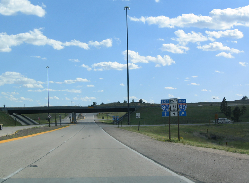
| Chestnut Street extends through south Kimball to a diamond interchange with Interstate 80 and the continuation of N-71. 09/06/04 |
|
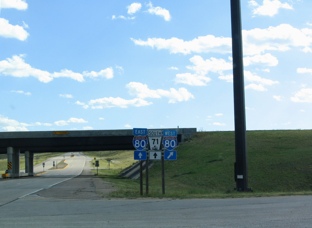
| Interstate 80 travels west to Cheyenne, Wyoming and east beyond the overlap with N-71 at Kimball to Sidney, Ogallala and North Platte. 09/06/04 |
Photo Credits:09/06/04 by AARoads
Connect with:
Interstate 80
U.S. 26
U.S. 30
Highway 92
Page Updated 03-03-2024.