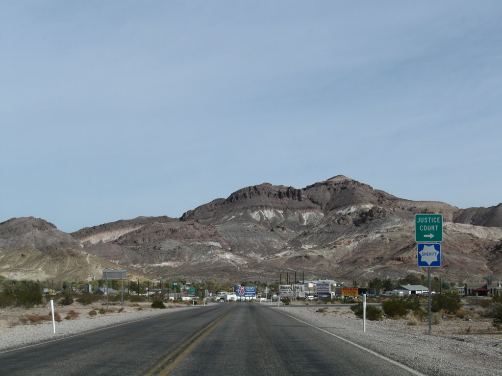
Following Death Valley Road northeast from Death Valley National Park, State Route 374 travels 8.86 miles to U.S. 95 at Beatty. Traversing Amargosa Desert, SR 374 links U.S. 95 with Daylight Pass Road south between the Grapevine and Funeral Mountains in Death Valley National Park. Approaching the unincorporated town of Beatty from the west, SR 374 navigates between Paradise Mountain and Velvet Peak ahead of Main Street.
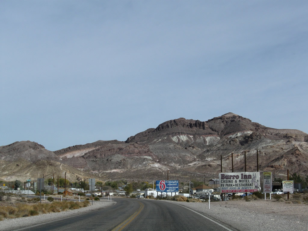
Settled by 1905, Beatty has its origins in mining like many towns in western Nevada. The nearby mining towns of Rhyolite and Bullfrog west of Beatty experienced the boom-and-bust cycle associated with gold mining. Only Beatty retains a population due to its location on U.S. 95 and increases in tourism as the Gateway to Death Valley and military activity from the nearby Nevada Test Site, a large military reservation that encompasses a significant portion of Nye County and includes the controversial Yucca Mountain project.1
|
| Entering the unincorporated town of Beatty (el. 3,300 ft), SR 374 curves northeast onto Main Street toward Beatty Mountain (el. 4,282 ft). The Amargosa River, which winds through Beatty business district, provides some water to an arid region. 11/11/08 |
|
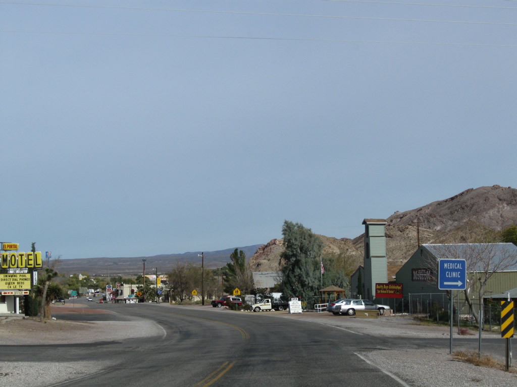
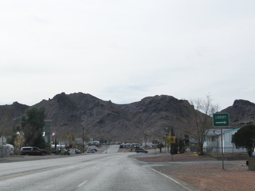
| Known as the Gateway to Death Valley, Beatty has affordable lodging and restaurants for those visiting Death Valley National Park. The town also houses a multitude of services and some casinos. 11/11/08 |
|
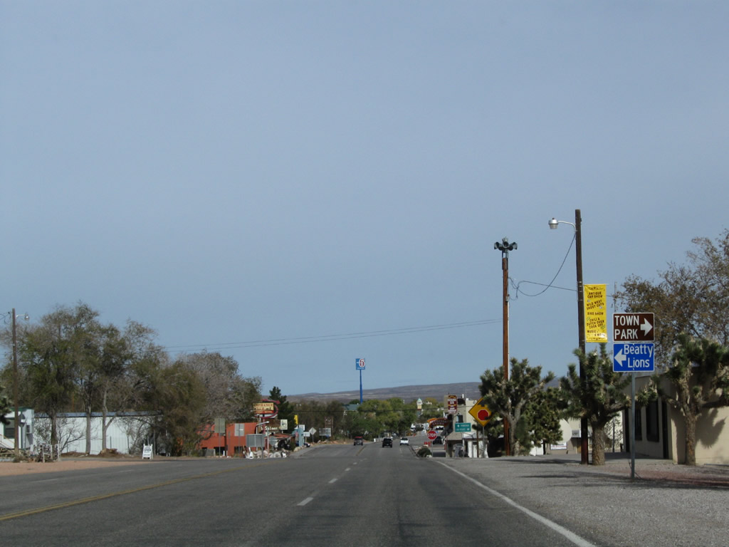
| SR 374 overtakes Main Street north at Irvine Street and the Beatty Museum and Historical Society. 11/11/08 |
|
| SR 374 (Main Street) advances north to Third Street, which leads two blocks southeast to Cottonwood Park. 11/11/08 |
|
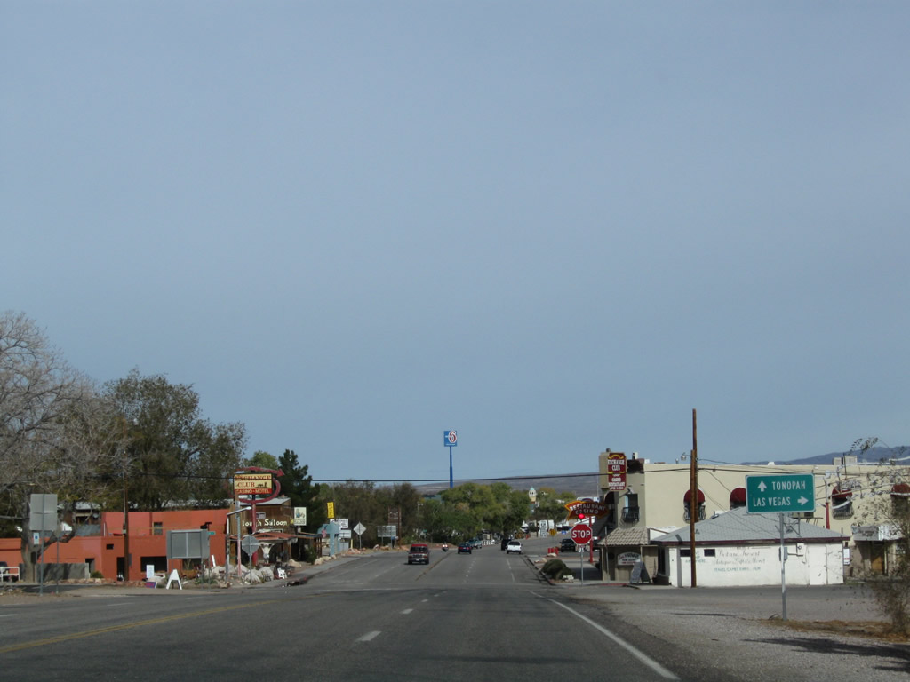
| A small guide sign for U.S. 95 marks the north end of SR 374 at Main and 2nd Streets in Beatty. U.S. 95 follows 2nd Street south en route to Las Vegas and overtakes Main Street north from SR 374 ahead of the Amargosa River and the Oasis Valley. 11/11/08 |
|
| There are no shields posted for U.S. 95 on SR 374 (Main Street) north. U.S. 95 ventures north from Beatty to Goldfield and Tonopah. 11/11/08 |
|
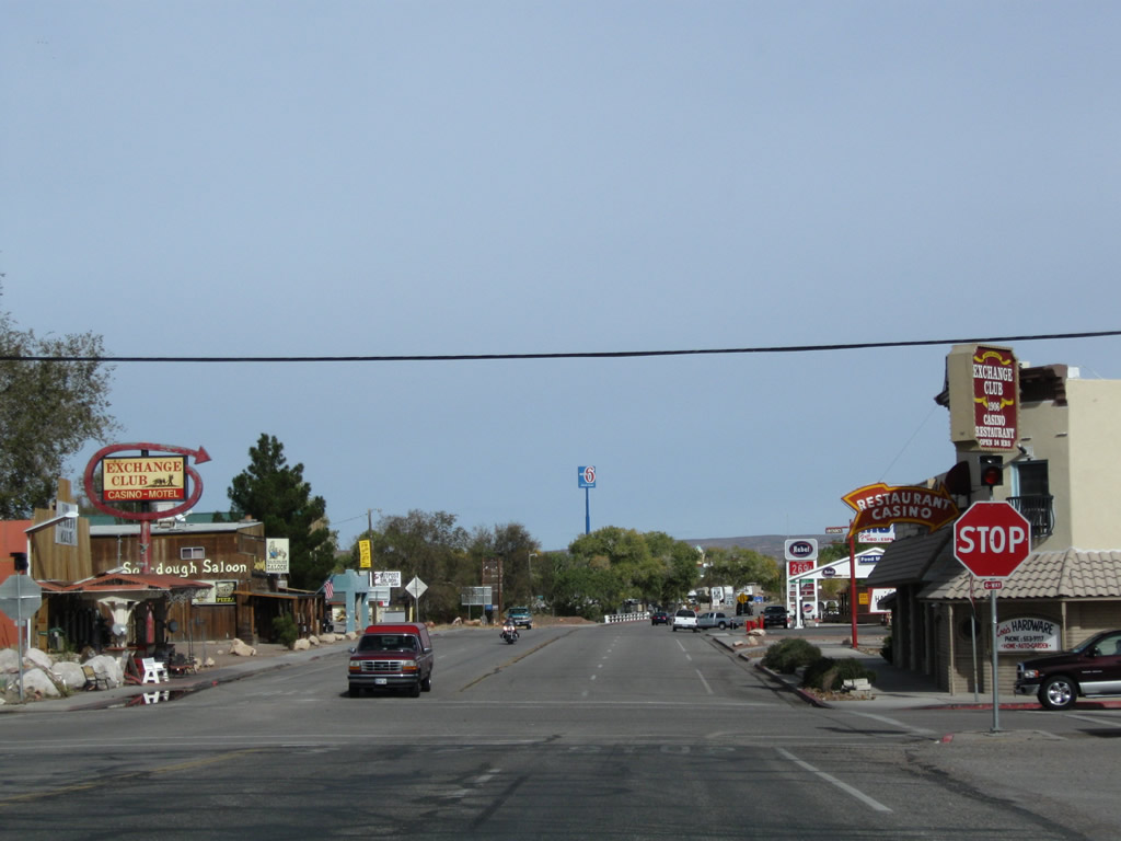
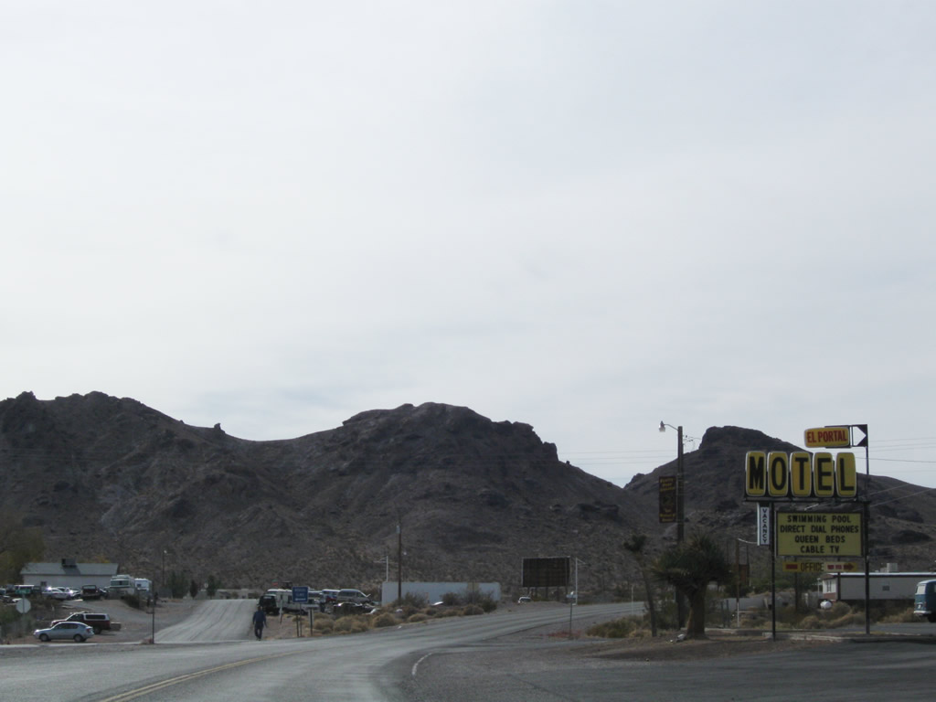
| Leaving the intersection with U.S. 95 in Beatty, SR 374 follows Main Street southwest toward Rhyolite. The first two blocks of SR 374 comprises a four lane boulevard. 11/11/08 |
|
| Main Street south at 4th Street. Most motorist services are available in Beatty, as well as gambling and camping. The town is situated along the Amargosa River, which travels southwest into the Amargosa Desert and eventually northwest into Death Valley. 11/11/08 |
|
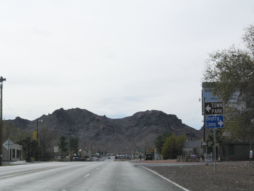
| Velvet Peak rises to the southwest as SR 374 turns west from Main Street by the Beatty Museum and Historical Society and Irvine Street. 11/11/08 |
|
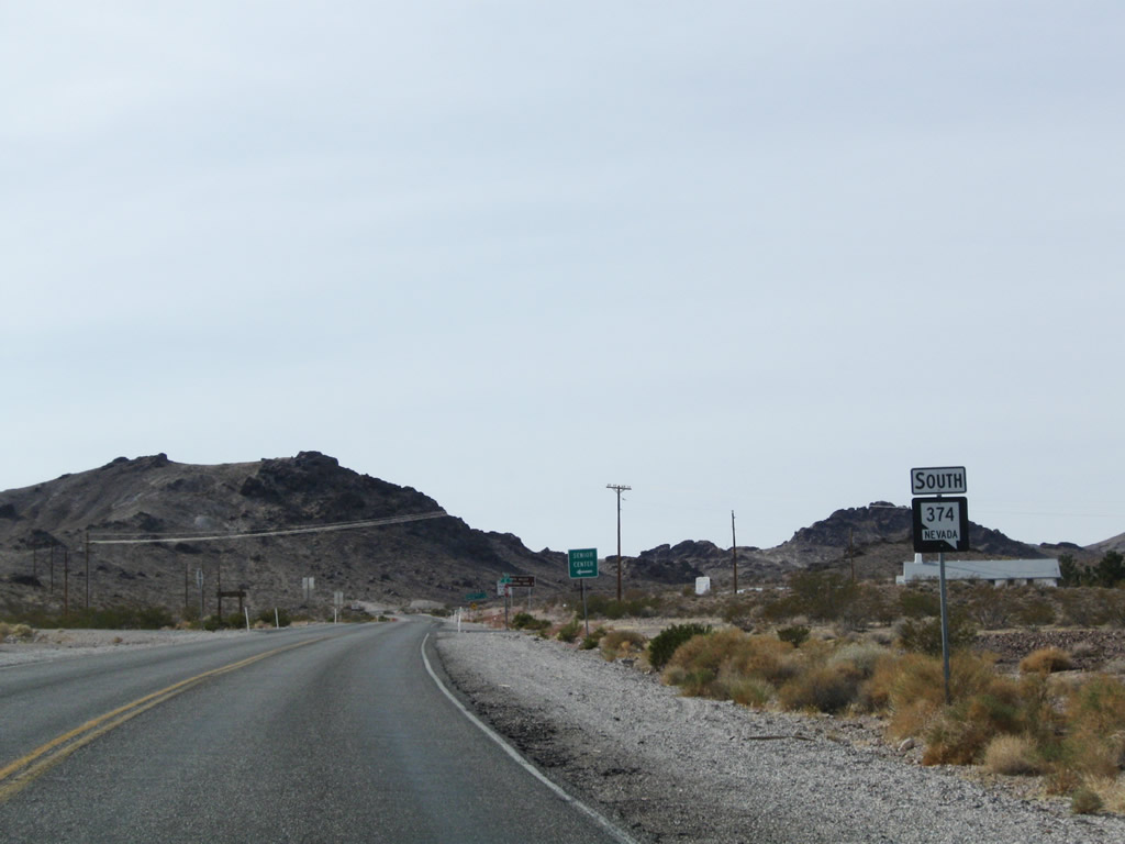
| The first confirming marker for SR 374 appears southbound ahead of C Avenue in Beatty. The local Mormon (LDS) church follows along the state route at D Avenue. 11/11/08 |
|
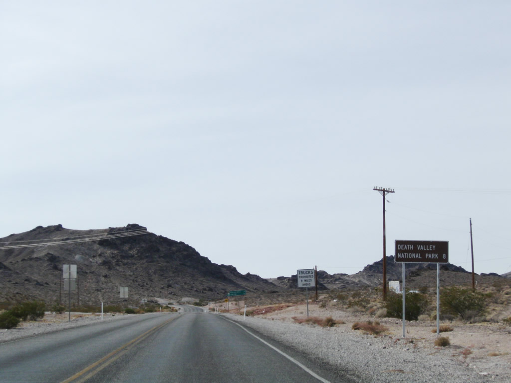
| Angling southwest across the Amargosa Desert, SR 374 reaches the boundary of Death Valley National Park in eight miles. State maintenance concludes there. 11/11/08 |
|
| Daylight Pass Road, a National Park Service road, extends south from SR 374 to California State Route 190. SR 190 continues seven miles from there to Stovepipe Wells and 68 miles to SR 136 north for Lone Pine. 11/11/08 |
Page Updated 04-19-2019.