|
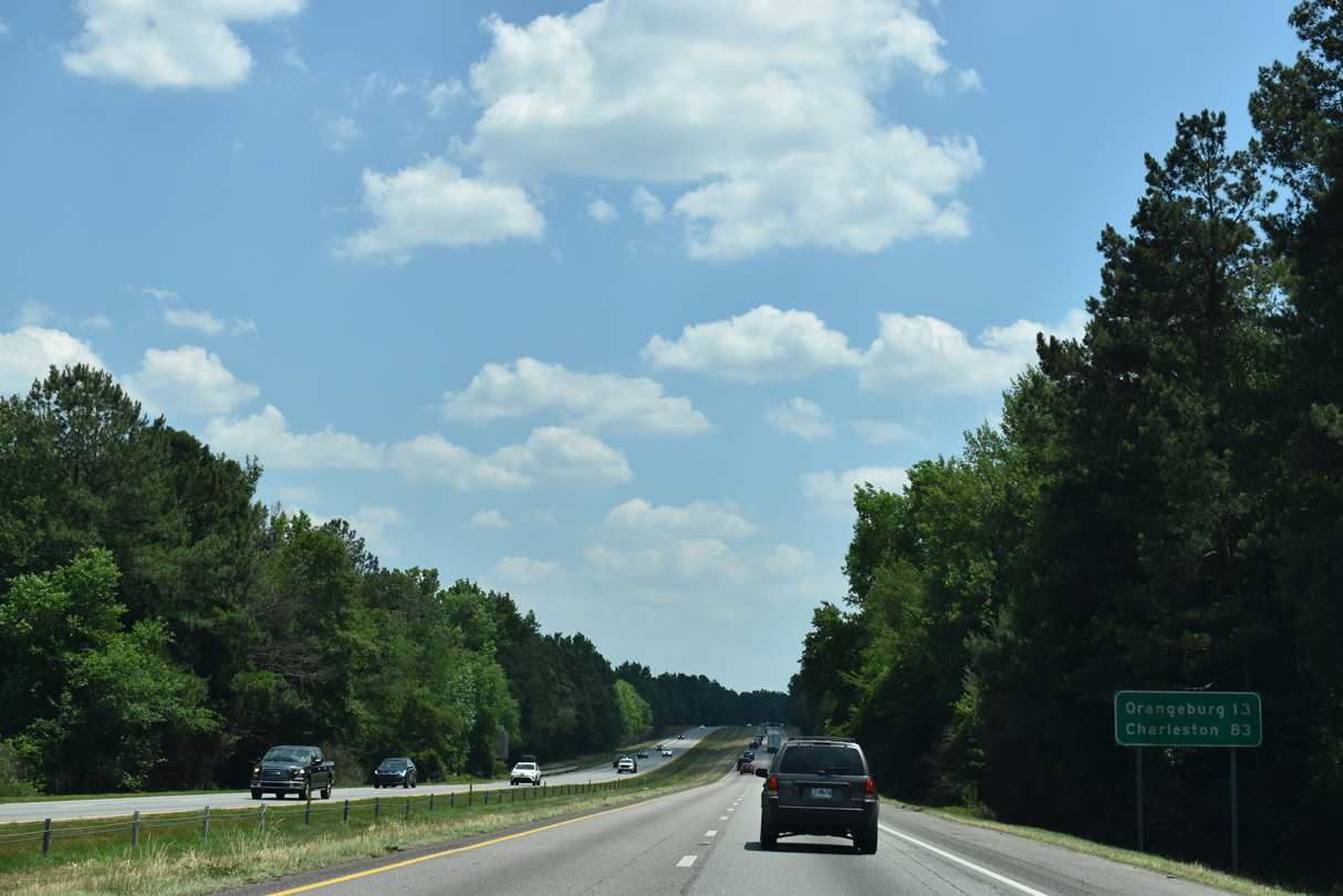
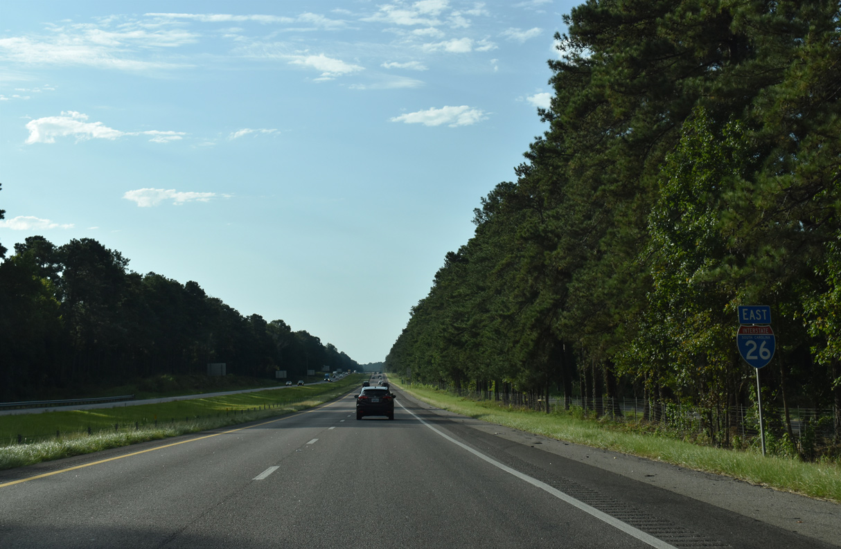
| Orangeburg, the largest city between Columbia and North Charleston, lies 30 miles to the southeast. 11/21/21 |
|
| Interstate 26 east lowers ahead of Savany Hunt Creek and the Savany Hunt Creek Road (Road 86) overpass one mile from a rest area. 05/26/19 |
|
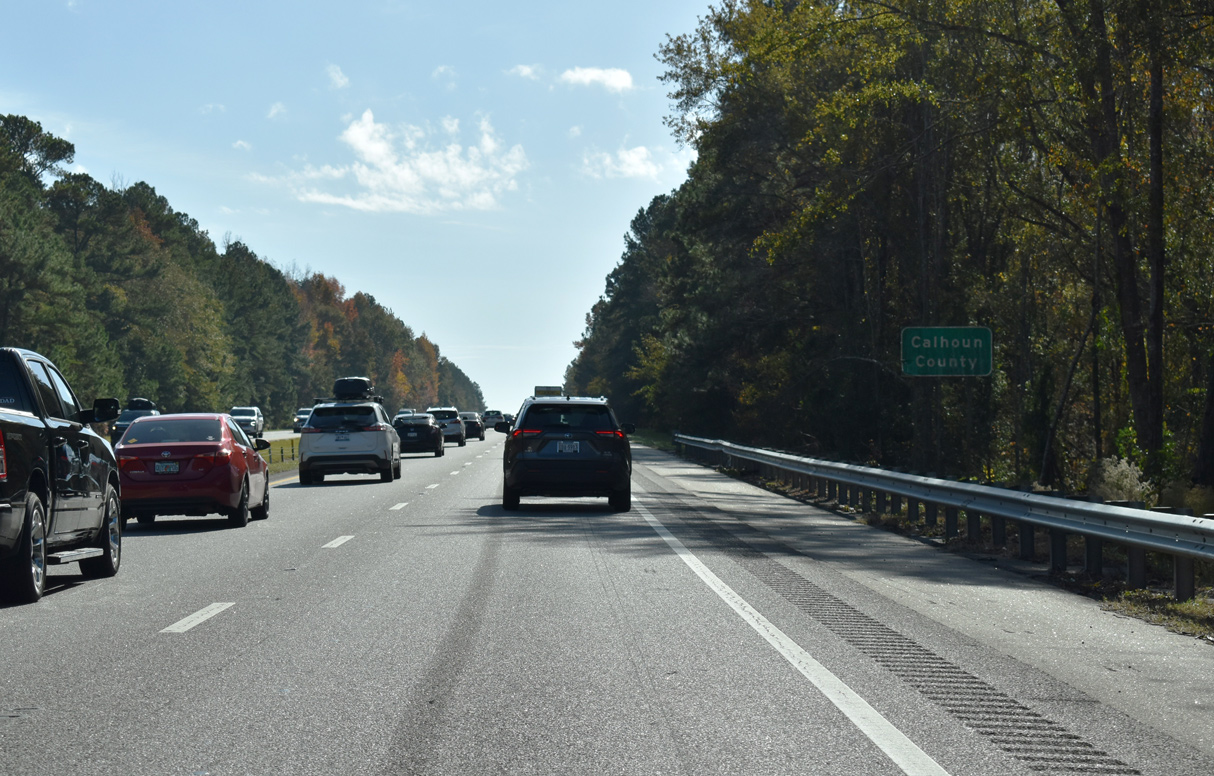
| The rest area in Calhoun County is the third to last along I-26 east. 11/21/21 |
|
| I-26 descends from over 320 feet above sea level before climbing again through a parclo interchange (Exit 125) with Old Sandy Run Road (Road 31). 11/21/21 |
|
| Old Sandy Run Road travels 2.46 miles west from Exit 125 to Enos and 3.04 miles east to U.S. 21/176 just north of their split. Mack Street (Road 65) links Enos with Gaston and U.S. 321 to the west. 11/21/21 |
|
| Lowering to cross Sandy Run, I-26 reduces to four lanes south from Exit 125. Orangeburg is 25 miles to the southwest while Charleston is less than 100 miles away. 11/21/21 |
|
| I-26 east passes through another section of Lexington County for 3.08 miles west of Oak Grove. 11/21/21 |
|
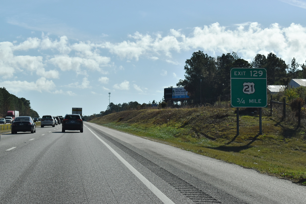
| U.S. 21 returns to Interstate 26 at Exit 129 near Oak Grove. U.S. 21 continues alongside I-26 between Exit 129 and 139 before diverging to the city of Orangeburg. Paralleling the freeway ahead of Exit 129 is Glowworm Road. 11/21/21 |
|
| Entering the parclo A2 interchange (Exit 129) with U.S. 21 on Interstate 26 east. U.S. 21 leads south from Orangeburg to Branchville and Beaufort before turning east to conclude at Hunting Island. 11/21/21 |
|
| Interstate 26 turns more southerly on the descent ahead of Big Beaver Creek. 11/21/21 |
|
| 21 miles remain to the Orangeburg County seat of Orangeburg. 11/21/21 |
|
| Big Beaver Creek separates southernmost Lexington County with Calhoun County across Interstate 26. 11/21/21 |
|
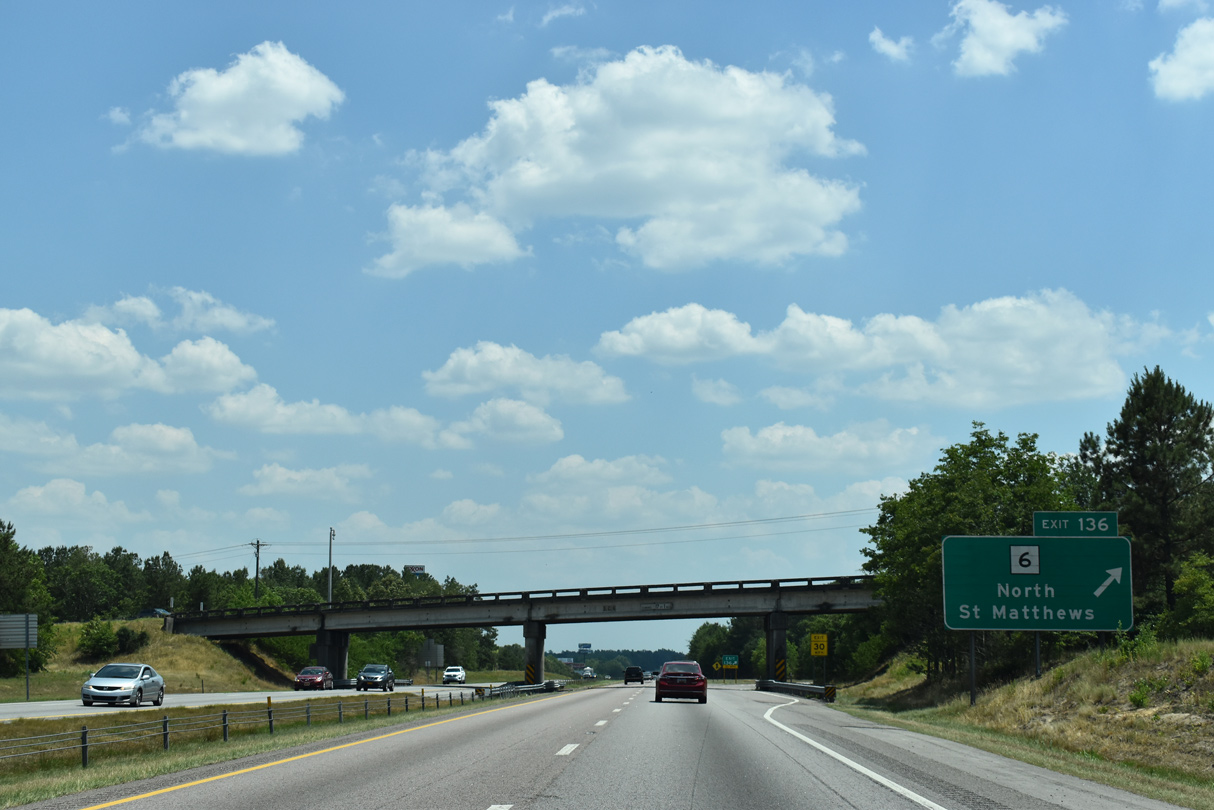
| S.C. 6 (Caw Caw Highway) meets Interstate 26 six miles west of Saint Matthews at a parclo B2 interchange (Exit 136). Anticipated to start in 2023, widening of I-26 includes redesigning Exit 136 into a diamond interchange. 11/21/21 |
|
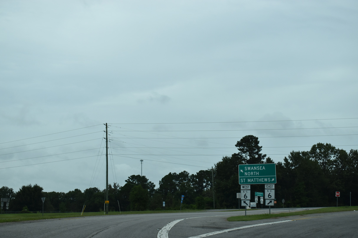
| S.C. 6 combines with U.S. 21 at S.C. 172 for 0.84 miles just west of I-26 en route to Swansea. 05/26/19 |
|
| The town of Swansea is 15 miles to the west from Exit 136 along S.C. 6. 09/20/21 |
|
| Beginning at U.S. 21/S.C. 6, S.C. 172 runs west 8.91 miles to U.S. 178 near the town of North. 09/20/21 |
|
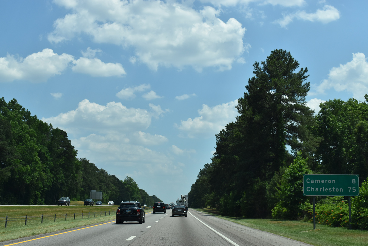
| S.C. 6 parallels the I-26 corridor southeast from St. Matthews to Santee and Moncks Corner in the LowCountry. 09/20/21 |
|
| The I-26 reassurance marker posted eastbound between S.C. 6 and Murphy Mill Creek was removed by 2018. 12/21/13 |
|
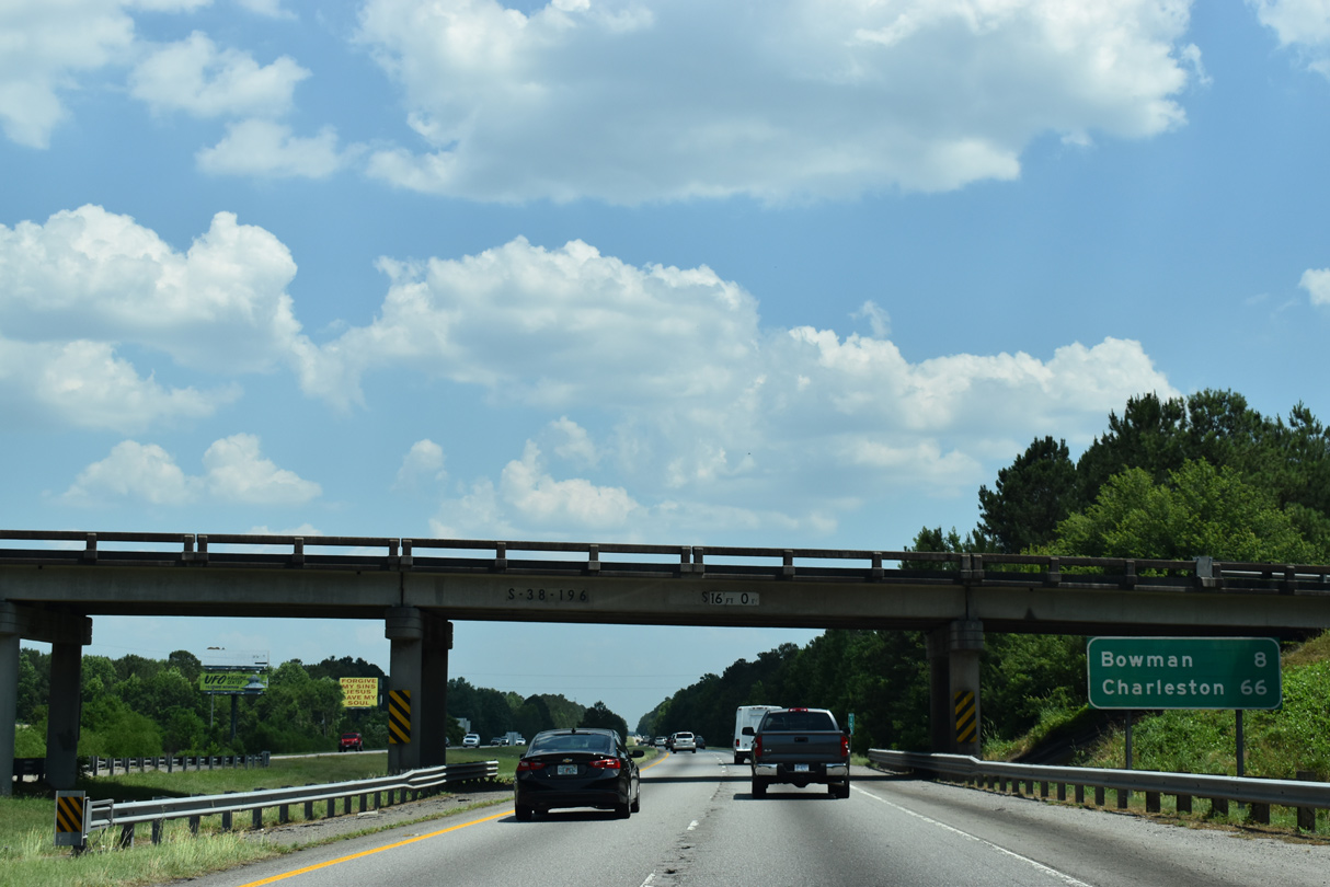
| Distance sign posted 13 miles out from Downtown Orangeburg and 83 miles from the end of I-26 at Charleston. 05/26/19 |
|
| Burke Road (Road 22) arcs northeast from Kennerly Road (Road 29) to cross U.S. 21 and meet Interstate 26 at a diamond interchange (Exit 139). 05/26/19 |
|
| Burke Road (Road 22) winds 5.57 miles east from Exit 139 to become Chestnut Street into the Calhoun County seat of St. Matthews. 05/26/19 |
|
| Rising from Burke Creek, I-26 eastbound advances ten miles to Orangeburg. 05/26/19 |
|
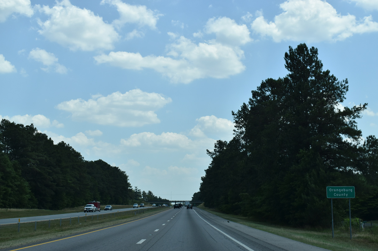
| Entering Orangeburg County on I-26 east. New Hope Road crosses in the distance. 05/26/19 |
|
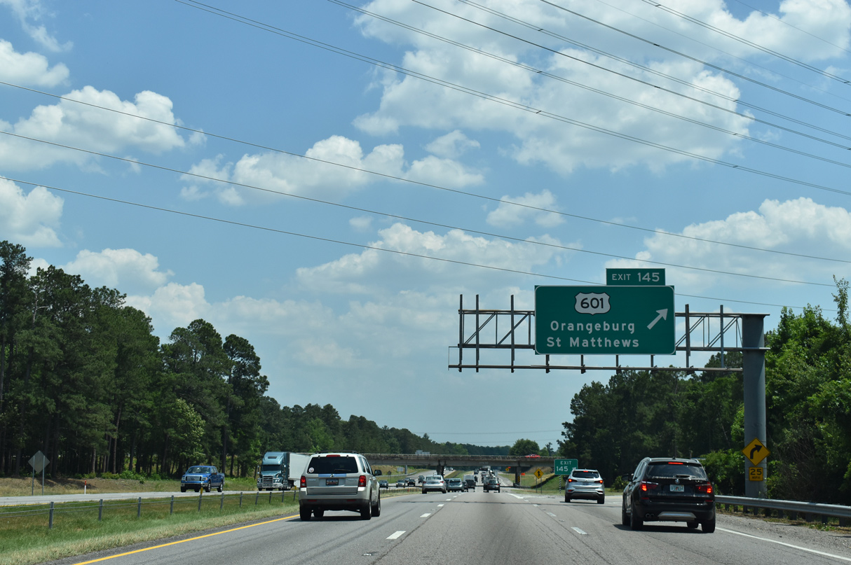
| Forthcoming U.S. 601 (Saint Matthews Road) constitutes the main arterial between I-26 and Downtown Orangeburg. The cloverleaf at Exit 145 was reconfigured into a six-ramp parclo interchange between August 2016 and May 31, 2017.1 05/26/19 |
|
| South from Exit 145, U.S. 601 (Saint Matthews Road) becomes Magnolia Street to South Carolina State University and U.S. 301 (John C. Calhoun Drive). U.S. 301/601 combine through Downtown as part of an 18 mile overlap to Bamberg. 05/26/19 |
|
| The former loop ramp (Exit 145B) for U.S. 601 north to Jamison and Saint Matthews. U.S. 601 travels 319 miles overall between U.S. 321 at Tarboro and U.S. 52 at Mount Airy, North Carolina. 12/21/13 |
|
| Interstate 26 stays outside of the Orangeburg city limits and built up areas to the east. 09/25/22 |
|
| The town of Cameron lies eight miles to the southeast via S.C. 33 east to U.S. 176. 05/26/19 |
|
| Belleville Road (Road 29) spans I-26 one mile north of Exit 149 to S.C. 33. S.C. 33 travels east from U.S. 301/601 (John C. Calhoun Drive) in Orangeburg nine miles to Cameron. A CSX Railroad parallels the bulk of the route. 09/25/22 |
|
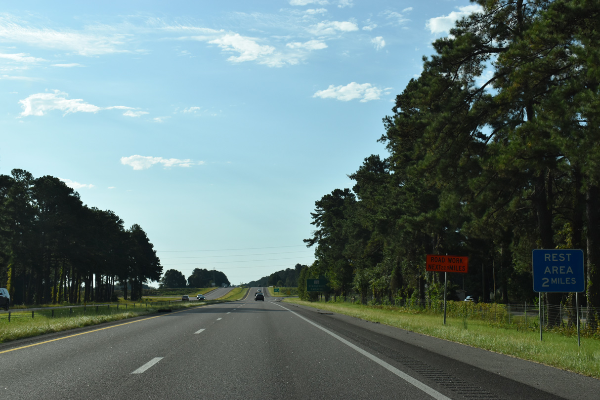
| A folded diamond interchange (Exit 149) joins Interstate 26 and S.C. 33 (Russell Street west / Cameron Road east) lies 1.5 miles north of a rest area. 09/25/22 |
|
| S.C. 33 travels 19.34 miles miles between Orangeburg and S.C. 267 near Lone Star. 09/25/22 |
|
| 45,300 vehicles per day (vpd) were recorded by SCDOT in 2013 on the stretch of Interstate 26 between Exits 149 and 154. The count in 2020 was 44,600 vpd. 09/25/22 |
|
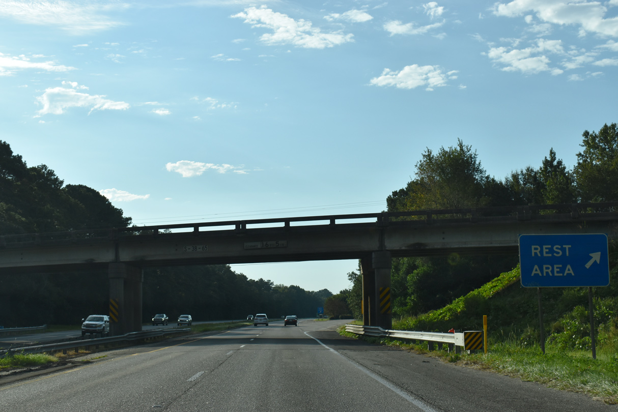
| A rest area lines the eastbound side of Interstate 26 at mile marker 150. 09/25/22 |
|
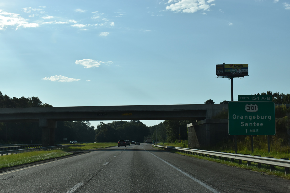
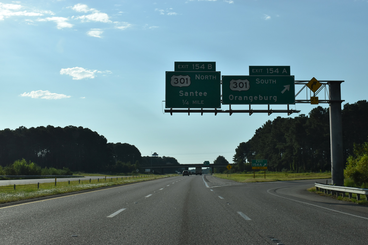
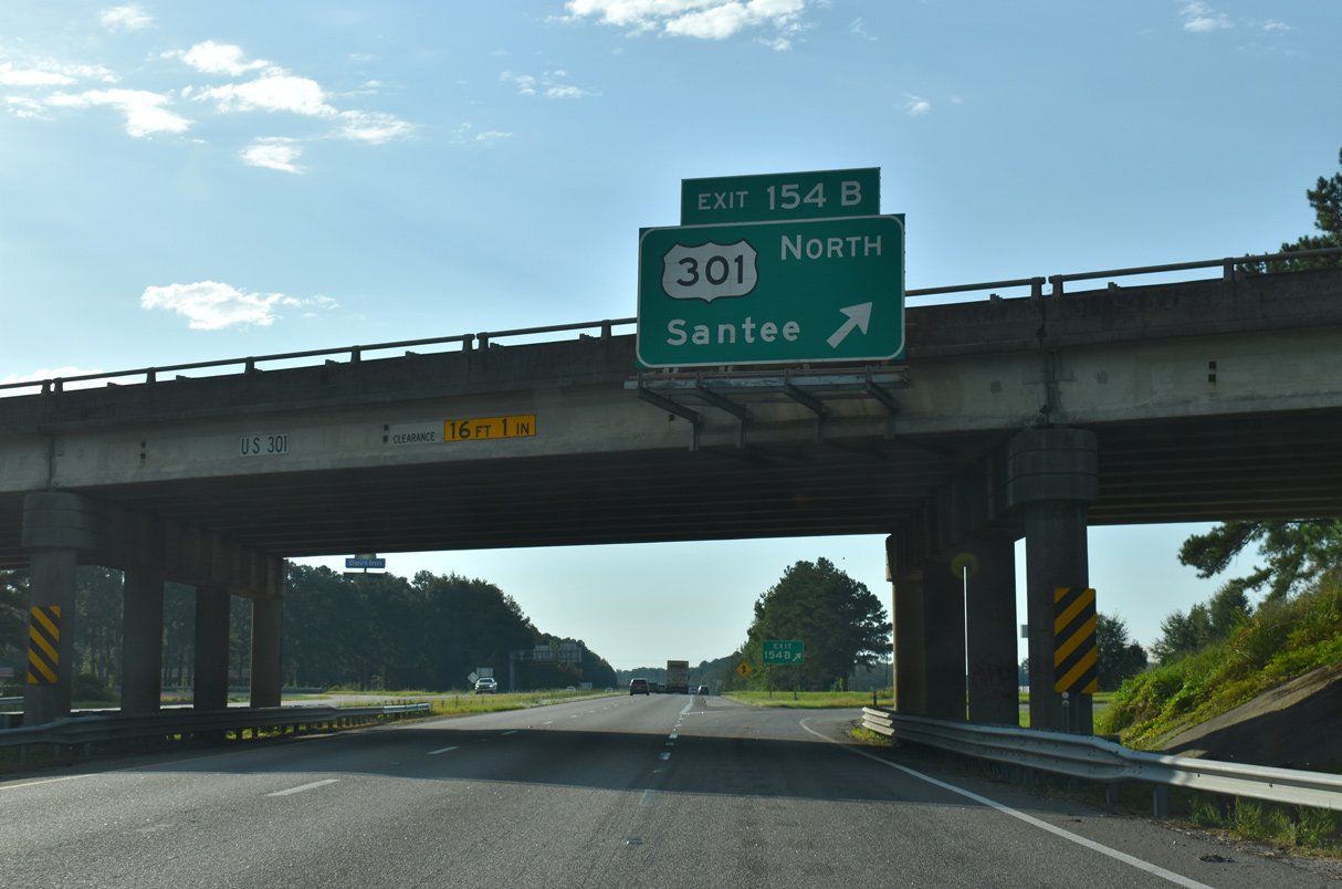
| U.S. 301 (Five Chop Road) converges with Interstate 26 at a cloverleaf interchange (Exits 154 A/B) east of Orangeburg and west of I-95 at Santee. 09/25/22 |
|
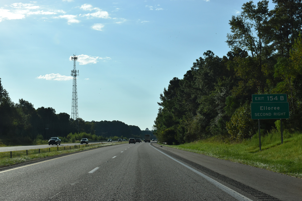
| U.S. 301 northbound to S.C. 47 (Cleveland Street) north leads to the town of Elloree. 09/25/22 |
|
| U.S. 301 (Five Chop Road) heads 6.3 miles west to U.S. 21/178 (Joe S. Jeffords Highway) on the outskirts Orangeburg. Most of the corridor along U.S. 301 between Santee and the Georgia state line is four lanes, resulting from its former role as the primary route south to Florida. 09/25/22 |
|
| U.S. 301 northbound joins I-95/U.S. 15 across Lake Marion in 14.7 miles to the south of Santee. 09/25/22 |
|
| Interstate 26 continues to drop toward the Atlantic Coastal Plain through southeastern Orangeburg County. 05/26/19 |
|
| Bowman, a town of around 1,000, lies eight miles to the south while Charleston is an hour away. 05/26/19 |
|
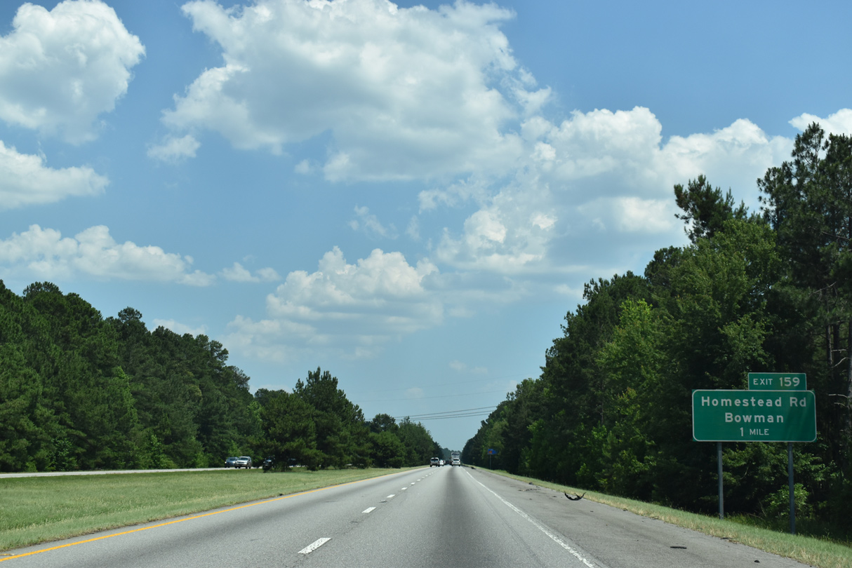
| Homestead Road (Road 36) loops south from U.S. 301 (Five Chop Road) to U.S. 178 (Charleston Highway) at Bowman. 05/26/19 |
|
| Interstate 26 eastbound at the diamond interchange (Exit 159) with Homestead Road (Road 36). 05/26/19 |
|
| Long straightaways are routine along the southeastern extent of Interstate 26. The confirming marker south of Exit 159 was removed by 2018. 12/21/13 |
|
| Seven miles remain to Interstate 95, where many travelers depart I-26 east for Savannah and Florida. 05/26/19 |
|
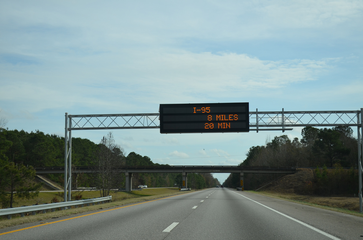
| Never a good sign when the distance of eight miles takes 20 minutes. This dynamic message sign precedes the Arista Road (Road 692) overpass. 12/21/13 |
|
| S.C. 210 (Vance Road) goes 5.50 miles east from U.S. 178 in Bowman to a diamond interchange (Exit 165) with Interstate 26. 05/26/19 |
|
| Exit 165 departs I-26 east for S.C. 210 (Vance Road). S.C. 210 continues another 4.35 miles east to U.S. 176 at Providence and 12.89 miles to end at S.C. 6 in the town of Vance. 05/26/19 |
|
| I-26 traverses wetlands associated with Cow Castle Creek southeast along the three miles leading to Interstate 95. 05/26/19 |
|
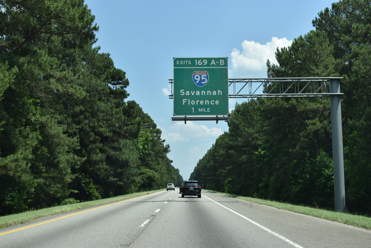
| Interstate 26 converges with I-95 at a cloverleaf interchange (Exits 169A/B) in two miles. 05/26/19 |
|
| Interstate 95 represents the main conduit for traffic between the Northeastern U.S. and Florida. Within South Carolina, I-95 runs 198.76 miles, serving the city of Florence on a mostly rural route. 05/26/19 |
|
| Exit 169A parts ways with I-26 east for Interstate 95 south. Savannah, Georgia is 95 miles to the south via I-95 and U.S. 17. The freeway enters the Peach State in 85.7 miles. 05/26/19 |
|
| Heading north from Exit 169B, Interstate 95 progresses another 74 miles to Florence and the east end of I-20. 02/17/19 |
|
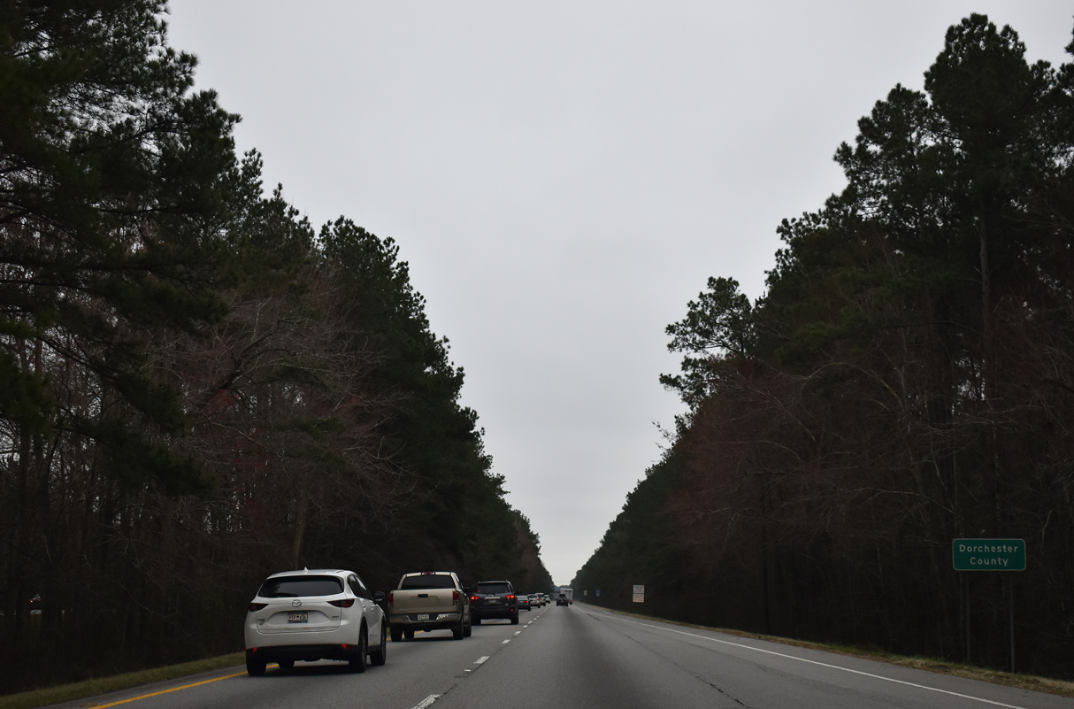
| Eastbound Interstate 26 enters the northern tip of Dorchester County just beyond the exchange with I-95. 02/17/19 |
Page Updated 12-02-2022.

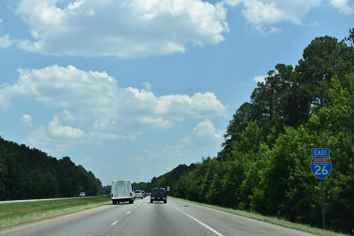
 East
East