Day three involved a short excursion into Charleston, North Charleston, James Island, and the Battery.
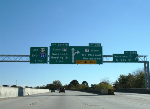
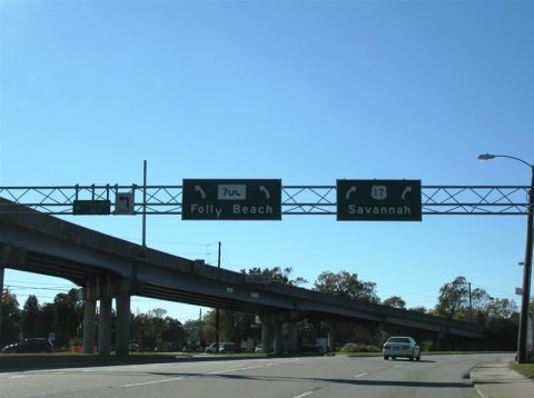
Entering Charleston via Interstate 26 eastbound, new signs for the U.S. 17 Arthur Ravenel Bridge adorn sign bridges along the freeway.
Compare this image to that from 2004.
South Carolina 700 spurs southward onto James Island. South Carolina 171 ties into South Carolina 700 via Wesley Drive with the two of them sharing pavement south to Maybank Highway on James Island itself. There South Carolina 700 heads west toward Rockville while South Carolina 171 south heads south to Folly Beach. An interchange joins U.S. 17, South Carolina 61, and South Carolina 700.
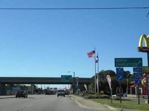
New signs were installed at the west end of Interstate 526 at West Charleston.
A partially-completed interchange currently handles the movements between U.S. 17 near South Carolina 7 and Interstate 526. Interstate 526, as envisioned, is to continue south and east to James Island and ultimately to downtown Charleston. Part of the planned Interstate 526 exists as South Carolina 30. However it is unclear if the freeway will ever be built between the end here and the premature end of South Carolina 30.
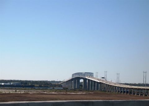
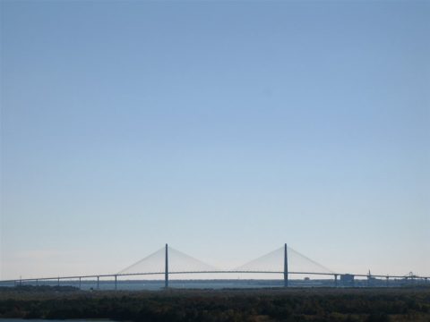
Hanging out the passenger window and looking back at the Interstate 526 Cooper River Bridge. The $20-million span opened in 1992.
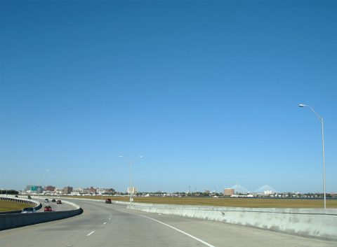
The South Carolina 30 freeway travels three miles from downtown Charleston onto James Island. A half-diamond interchange with stubs exist at the west end of the freeway at South Carolina 171 (Folly Road). The interchange is signed as Exit 3. East of the beginning, South Carolina 30 travels an elevated causeway from Harbor View Road (Exit 2) to a trumpet interchange (Exit 1) a with South Carolina 61. A fixed high-level bridge crosses the Ashley River into downtown.
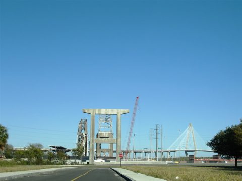
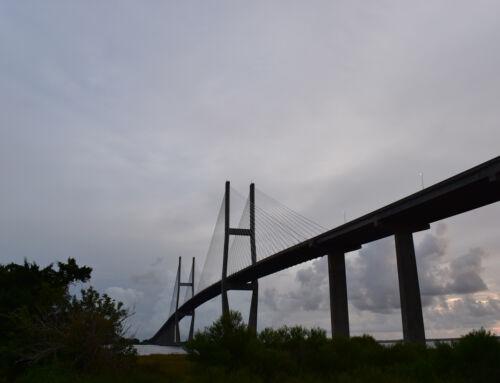
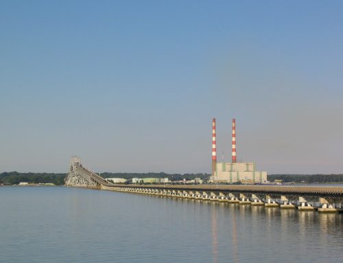
The completion of the Arthur Ravenel Bridge and relocation of U.S. 17 resulted in the demolition of the original Silas Pearman Bridge, the Grace Memorial Bridge, and the approach freeway. What remains is a grassy strip of right-of-way in place of the elevated freeway and two pieces of the original cantilever bridges over the west banks of Town Creek.
Relocation of U.S. 17 makes finding the eastern termini of both U.S. 52 and U.S. 78 that much more difficult. Both US highways become vastly unsigned as they enter the central Charleston area. U.S. 52 follows Meeting Street while U.S. 78 follows King Street. Neither one are signed well at their ends, and the changes of U.S. 17 resulted in even less mentioning of U.S. 52. Instead signage for both routes is found northward at the King Street and Meeting Street Road respective intersections with Mt. Pleasant Street/Morrison Drive. Incidentally Morrison Drive is supposed to be U.S. 52 Spur, however no such signage exists in the field for the route.
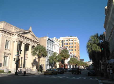
The Battery is one of the oldest urban areas of any southern city. Building date stamps go as far back as the 1600s, and the dense architecture of the city alludes to European design. Amazingly the historic district fared well during the 1989 landfall of Hurricane Hugo. Narrow streets and alleys crisscross at the southeastern corner of the Charleston Peninsula, just west of the equally historic Fort Sumter, site of the first action of the Civil War.

Charleston truly is a beautiful place.
It’s been nearly 30 years since I’ve visited.
Love to drive the new US 17 bridge. :)
I wonder what the Ravenel Bridge looks like at night from that vantage point on I-526