
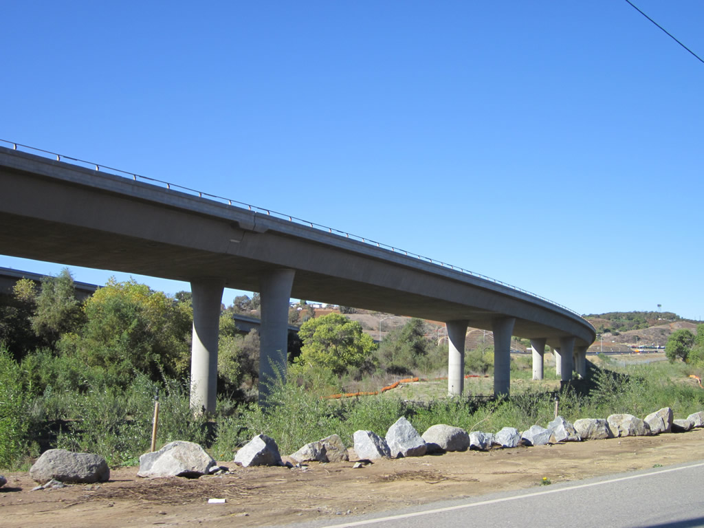
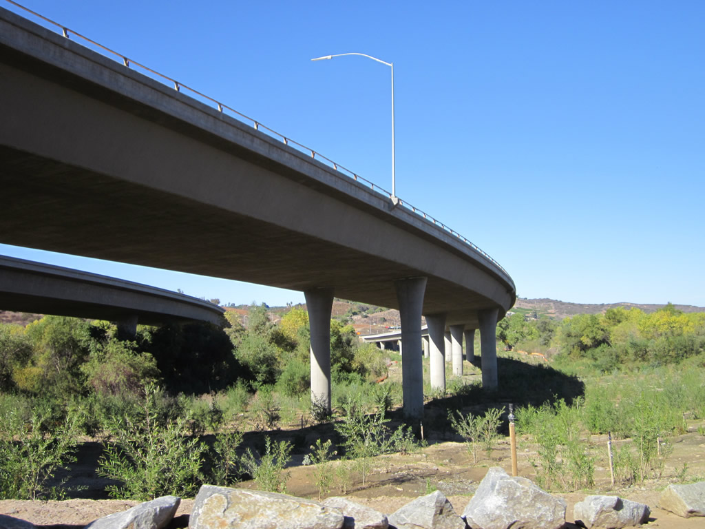
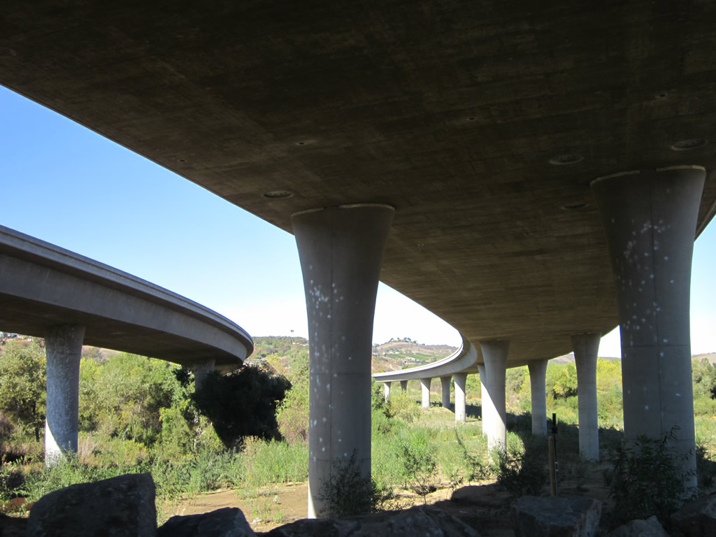
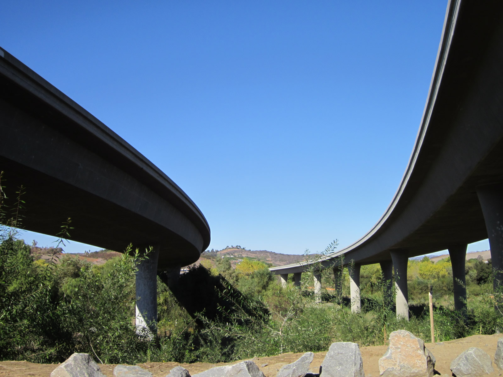
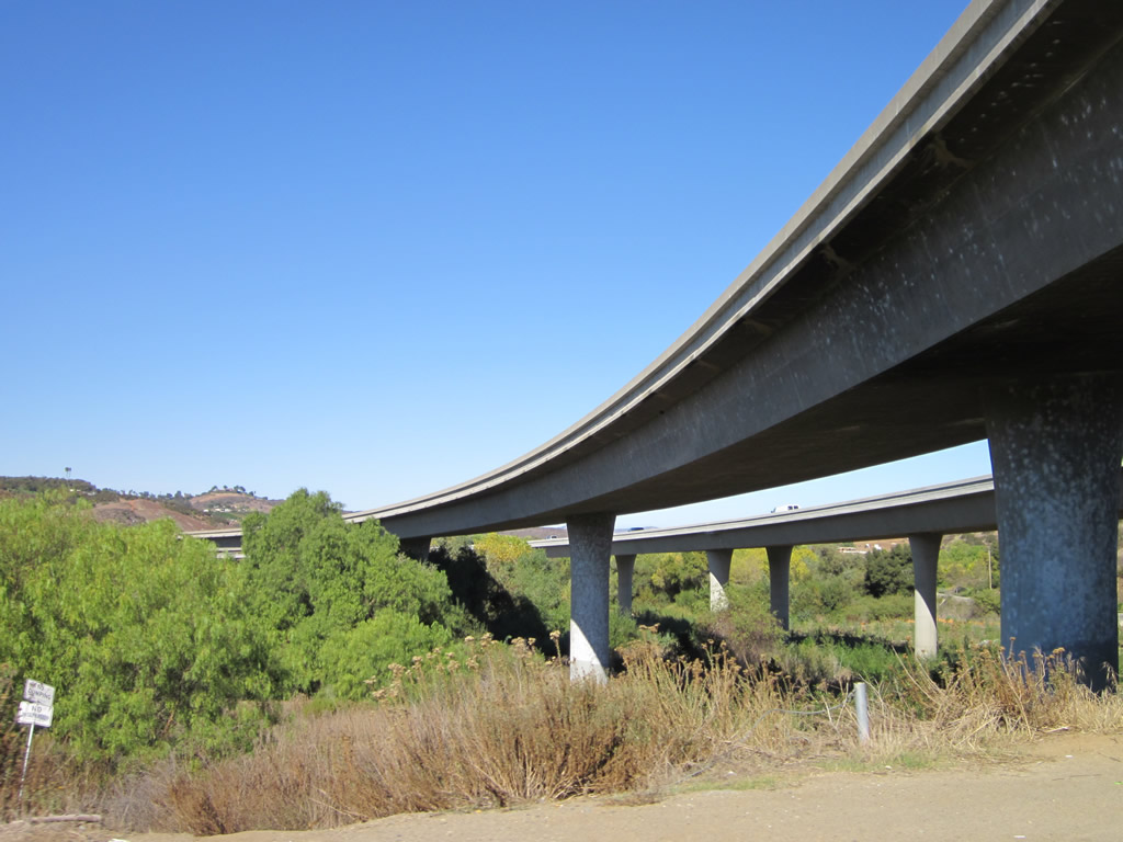
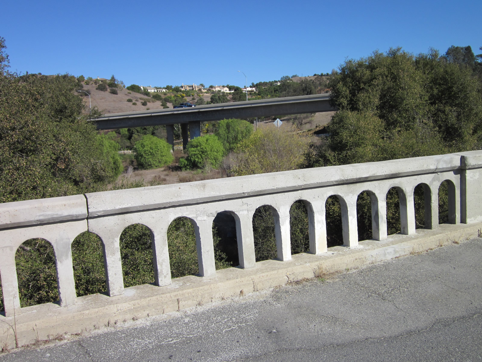
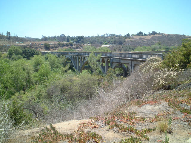
A pair of bridges carry California 76 over the San Luis Rey River. These bridges are parallel to the Old Bonsall Bridge, which was built in 1925 and carried old U.S. 395 until it was rerouted to the Interstate 15 corridor between Escondido and Rainbow. The first New Bonsall Bridge was built in 1990 and today carries only westbound traffic. Supporting eastbound traffic, the second New Bonsall Bridge was built in 2012 as part of an effort to convert California 76 to expressway standards. Old River Road passes underneath both bridges alongside the south bank of the San Luis Rey River. 11/11/12
California 76 is 52.32 mile long, east-west state route through northern San Diego County. The highway originates at an intersection with Coast Highway (San Diego County Route S-21 and Historic U.S. 101) and extends east through Oceanside, Bonsall, Pala and Pauma Valley before ending at California 79 southeast of Palomar Mountain near Lake Henshaw. California 76 also connects with Interstates 5 and 15. A connection to unincorporated Fallbrook links the state route via San Diego County Route S-13 (Historic U.S. 395 / Mission Road) north from Bonsall, and the connection to Palomar Mountain is made via either CR S-6 (South Grade Road) or CR S-7 (East Grade Road).
California State Route 76 Guides
Route 76 Expressway
California 76 is an expressway, with at least four lanes with regularly spaced, signalized intersections. Plans in the 1990s called for the expressway to extend from Interstate 5 in Oceanside to Interstate 15. This segment of state route is known as the San Luis Rey Mission Expressway, as it generally follows the San Luis Rey River and links with the San Luis Rey Mission. As of November 2012, California 76 was an expressway from I-5 east to County Route S-13 (Mission Road), where it reverted to a two-lane state route. The remainder of expressway was completed in May 2017.
California 76 was upgraded to expressway standards in the following phases:1,2,3,4,5
- Interstate 5 and Coast Highway interchange east to Foussat Road (on new alignment) - started construction in Spring 1994 and completed/opened to traffic in November 1995
- Foussat Road east to Melrose Drive and Jeffries Ranch Road (on new alignment) - started construction in Spring 1996 and completed/opened to traffic in 1999
- Melrose Drive and Jeffries Ranch Road to San Diego County Route S-13 (Mission Road) and Sweetgrass Lane (upgrade to existing alignment including the dualization of the New Bonsall Bridge) - started construction in January 2010, westbound completed/opened to traffic on October 18, 2012, and eastbound to open to traffic by December 2012. This phase cost $171 million.8
- San Diego County Route S-13 (Mission Road) and Sweetgrass Lane east to Interstate 15 (mostly on new alignment) - started construction October 25, 2012 and was slated for completion to expressway standards by 2015
The initial construction of California 76's western segments (#1 and #2) on a new alignment required traffic signals with the following intersecting roadways: Loretta Street, Benet Road, Airport Road, Foussat Road, Douglass Drive, Rancho del Oro Drive, Old Grove Road, Frazee Road, Towne Center North Drive, College Boulevard, North Santa Fe Avenue (San Diego County Route S-14), Guajome Lake Road, and Melrose Drive. In the initial project, grade separations were made at two crossings with Mission Avenue as well as El Camino Real. While the original expressway was built to four lanes, the expressway was graded for two additional lanes for a total of six lanes. Funding for the western two segments included funds from the November 1987 TransNet one-half cent sales tax.
Segment #3 (called the "middle segment") was largely an upgrade of the existing, five mile roadway from two to four lanes. A concrete barrier separates the two directions of traffic, and some significant cuts were made into adjacent hillsides to accommodate the new lanes. This project included the installation of a new, 2012 bridge to carry eastbound California 76 traffic over the San Luis Rey River, which made the 1990 bridge into a westbound-only bridge (the bridge uses four million pounds of steel bars in its construction).6 (The 1925 Historic U.S. 395 / Old Bonsall Bridge was not affected by this project.) Traffic signals were installed or improved at several intersections, including Old River Road/Vista Way and Mission Road. Funding for the middle segment of the 76 expressway came from the 2009 American Recovery and Reinvestment Act (ARRA) and the November 2004 TransNet one-half cent sales tax.
Three alternatives were considered for the easternmost segment (#4) of the California 76 expressway: widening and realigning along existing California 76, realigning the state route onto a new corridor staying on the south bank of the San Luis Rey River, and constructing a split with three lanes on the north bank of the river and three lanes on the south bank of the river. In June 2011, the improvement of the existing alignment was identified as the preferred alternative.7 Funding for the eastern segment of the 76 expressway came from the November 2004 TransNet one-half cent sales tax. A toll road option was considered if the TransNet had not been passed by San Diego County voters. A project to improve the Interstate 15 and California 76 interchange began on October 25, 2012, and the connecting expressway segment between Segment #3 and Interstate 15 was scheduled to begin construction in early 2014, with completion to follow in 2015.4,5
Work on the nearly $400 million Route 76 improvement project wrapped up on May 16, 2017, with a dedication ceremony attended by state, federal and regional transportation officials for the last leg of the new roadway at Pala Road. The last five mile section, from South Mission Road at Fallbrook to I-15, was completed ahead of schedule. The $201 million phase started in 2013 and included reconfiguring the exchange of SR 76 and I-15.8
| SR 76 scenes |
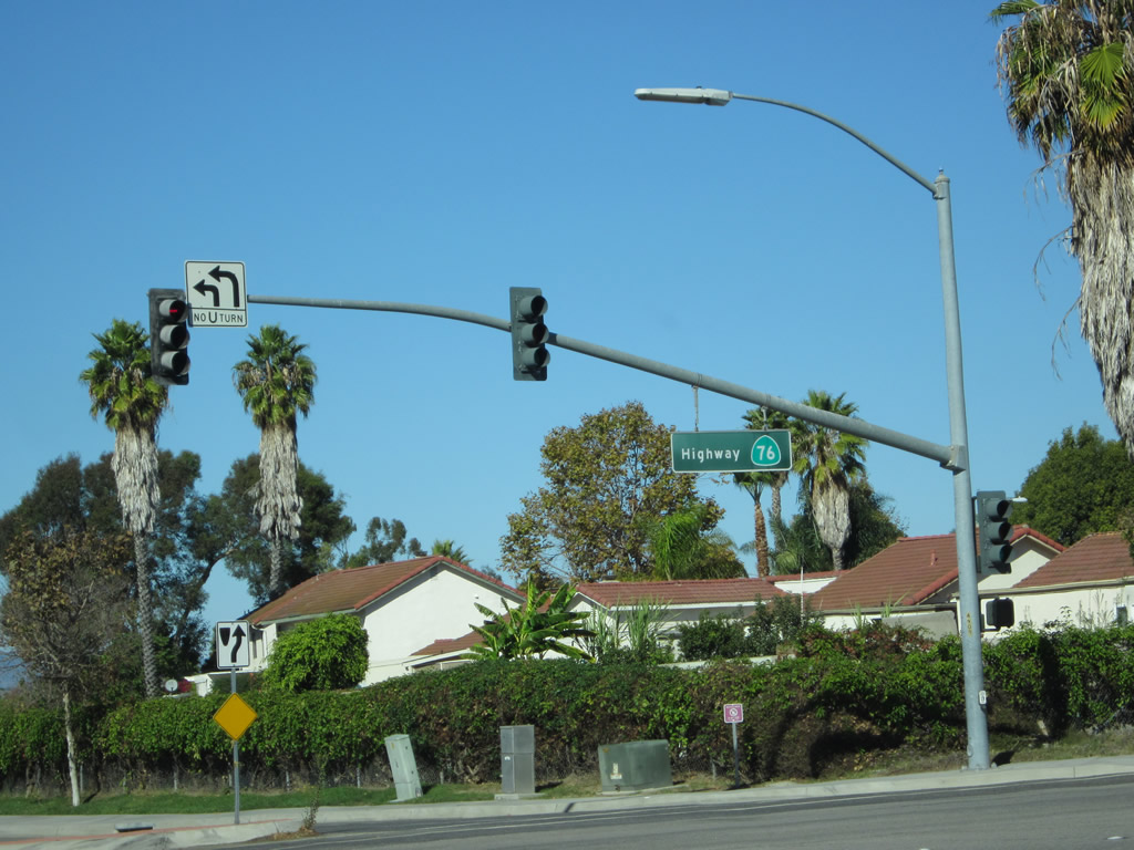 | Old Grove Road north at SR 76 in Oceanside. Caltrans uses a green sign blade to indicate that this road is Highway 76. This is a standard commonly found on expressways and conventional state routes in Caltrans District XI, but it is not as common in other parts of the state. 11/11/12 |
| Historic U.S. 395 Bonsall Bridge |
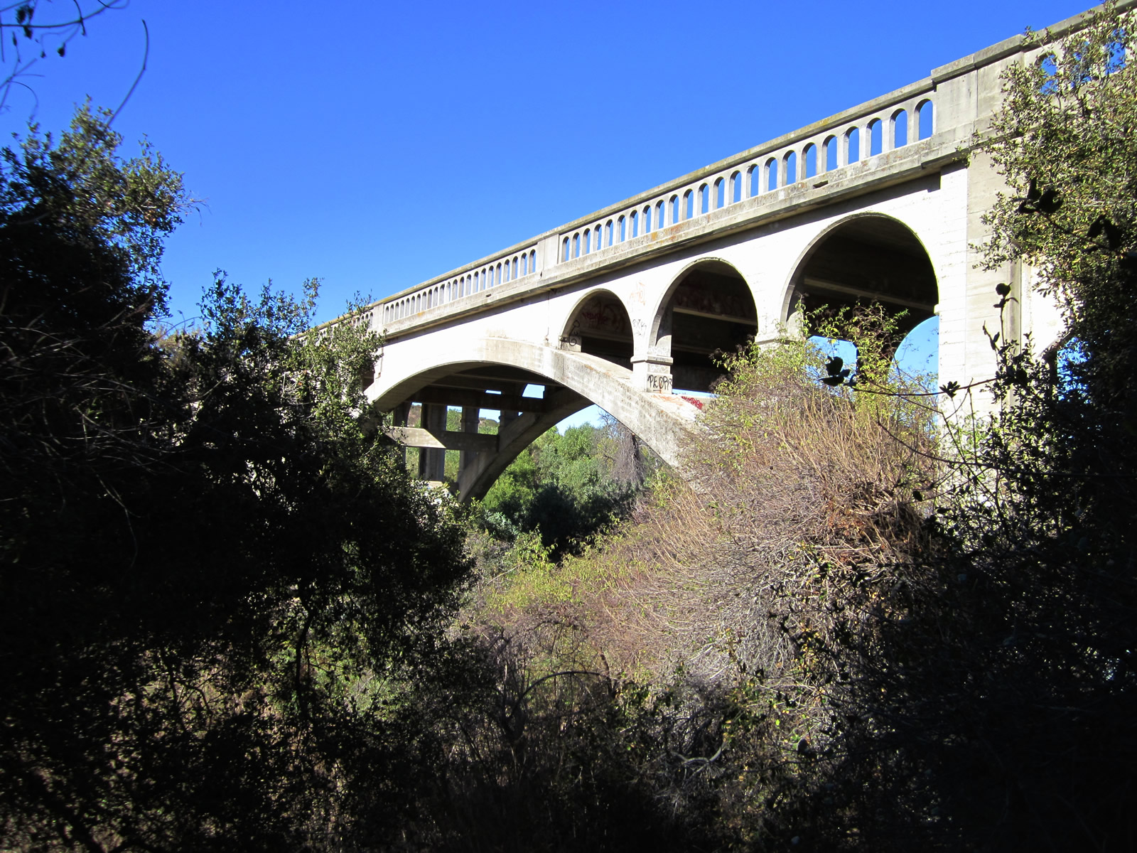
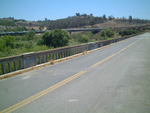
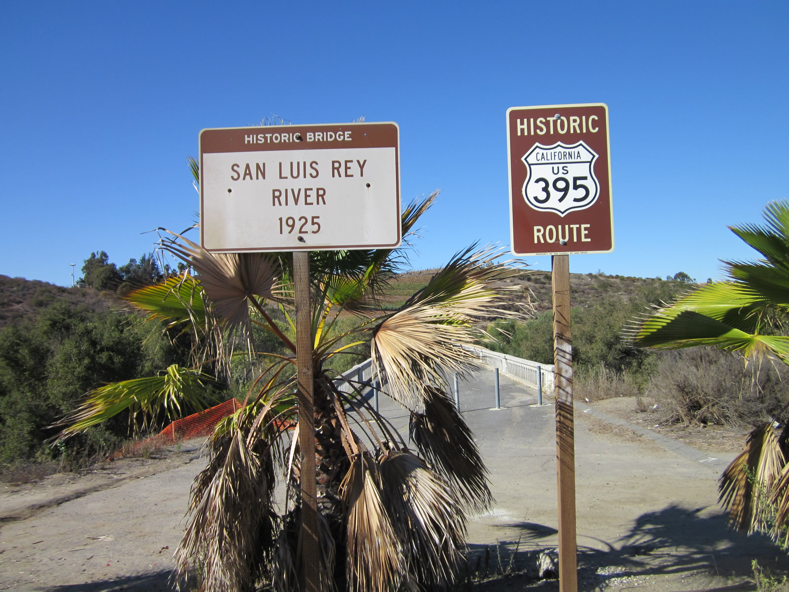  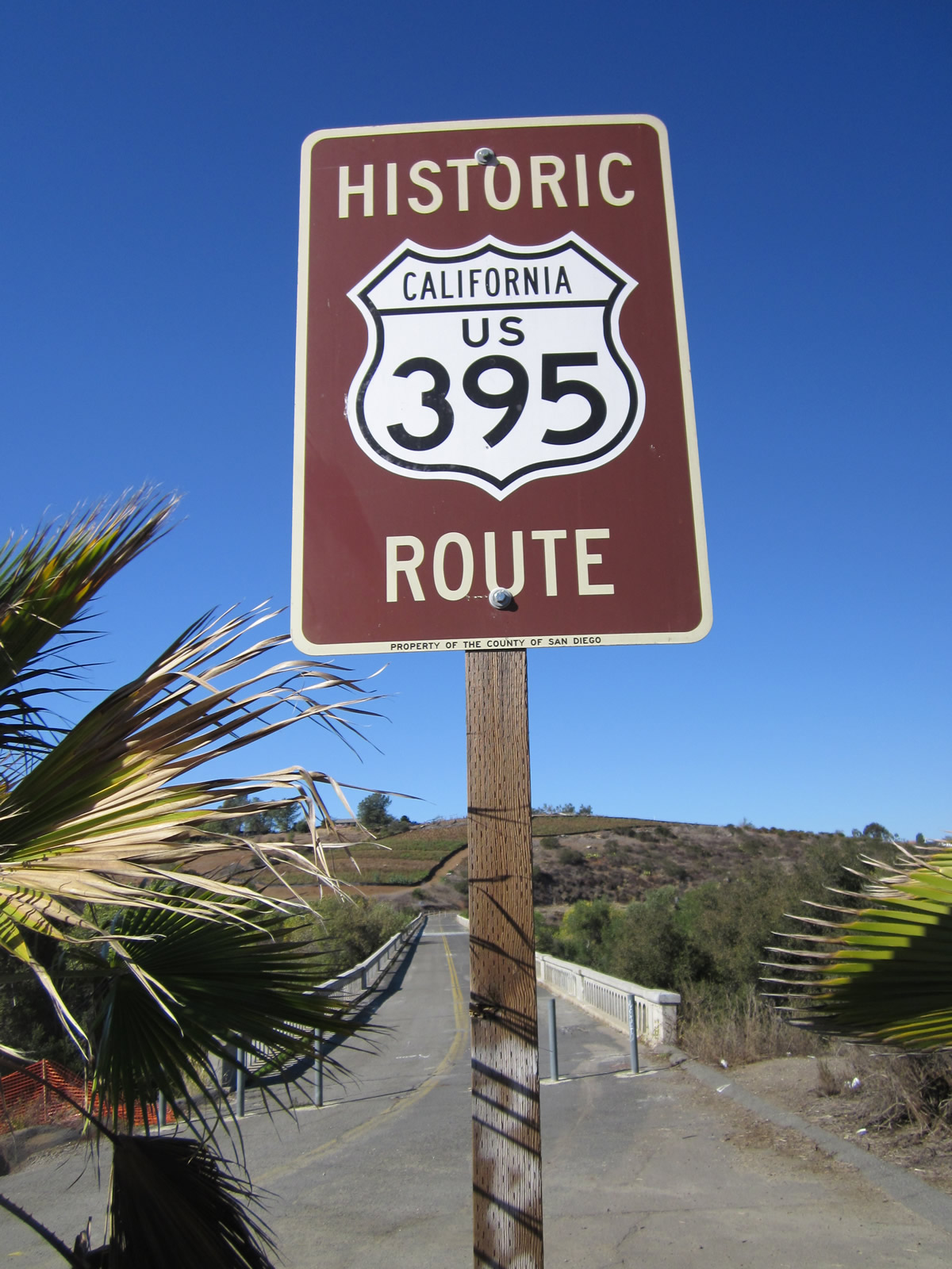  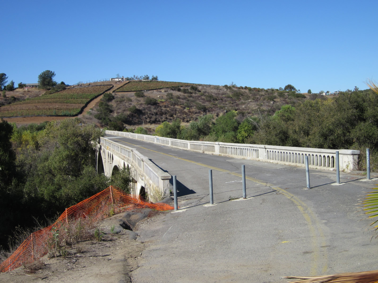 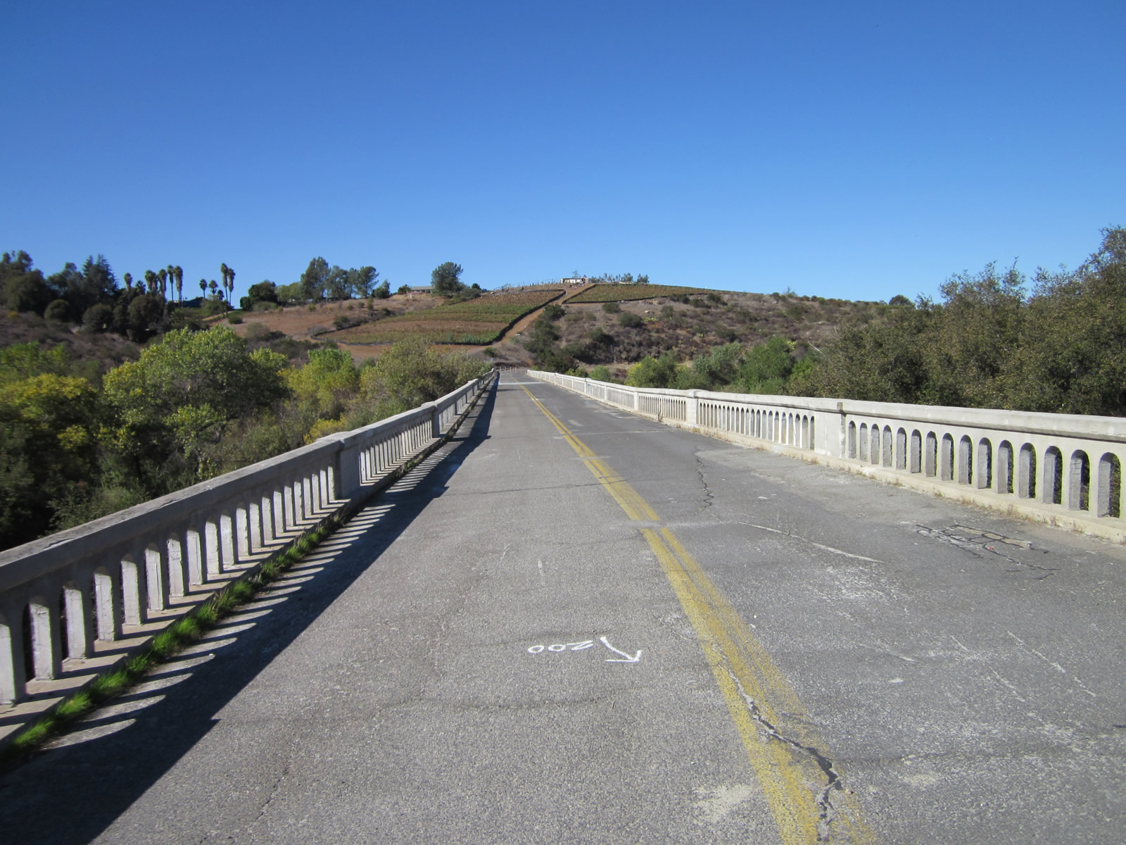 | Prior to the construction of the 1990 and 2012 San Luis Rey River (New Bonsall) Bridges along SR 76, an older bridge known as the Historic Bonsall Bridge used to carry motor vehicles over the San Luis Rey River. This long arch bridge was formerly a part of SR 76, and U.S. 395 before it, until the early 1990s when the new bridge opened. Functionally obsolete, with very tight approaches and no shoulders on the bridge deck, the Bonsall Bridge was repurposed as a bikeway and pedestrian crossing over the river. 11/11/12, 06/22/02 |
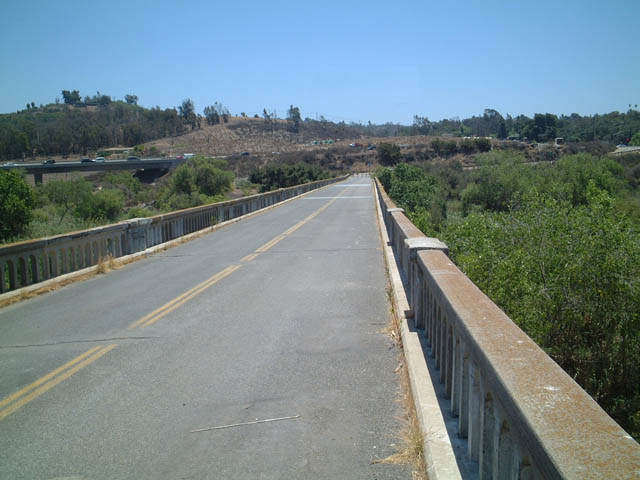
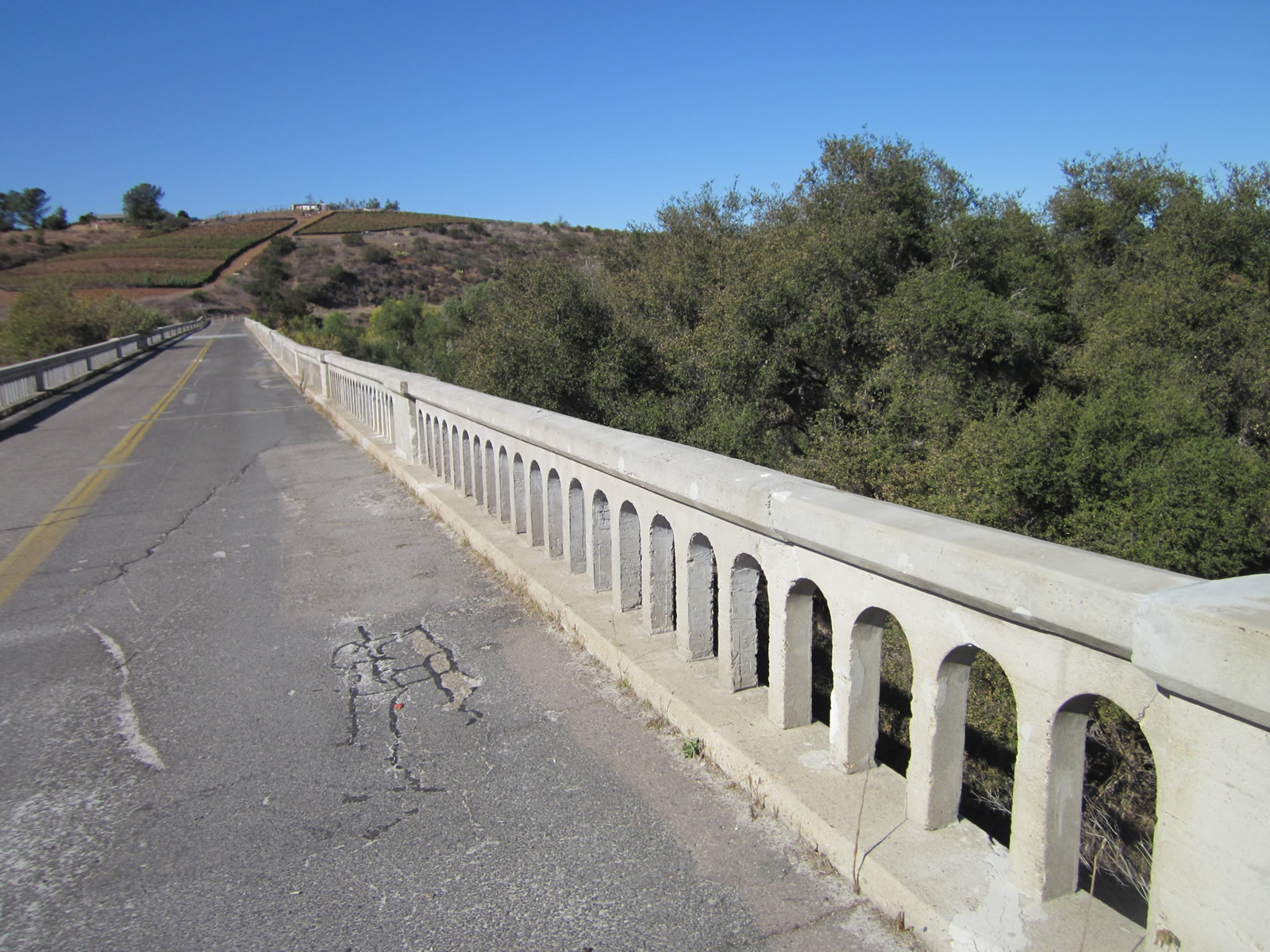    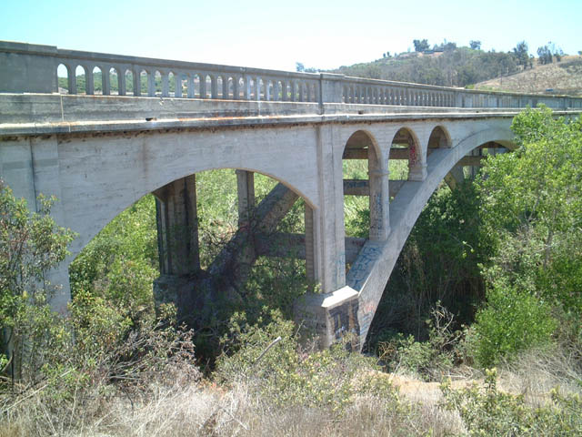  | Arched, concrete bridge railing lines the Old Bonsall Bridge. This bridge was in service until 1990. A sharp turn at the north end of the bridge once took motorists along Old U.S. 395 and SR 76 east along the north bank of the river. 11/11/12, 06/22/02 |
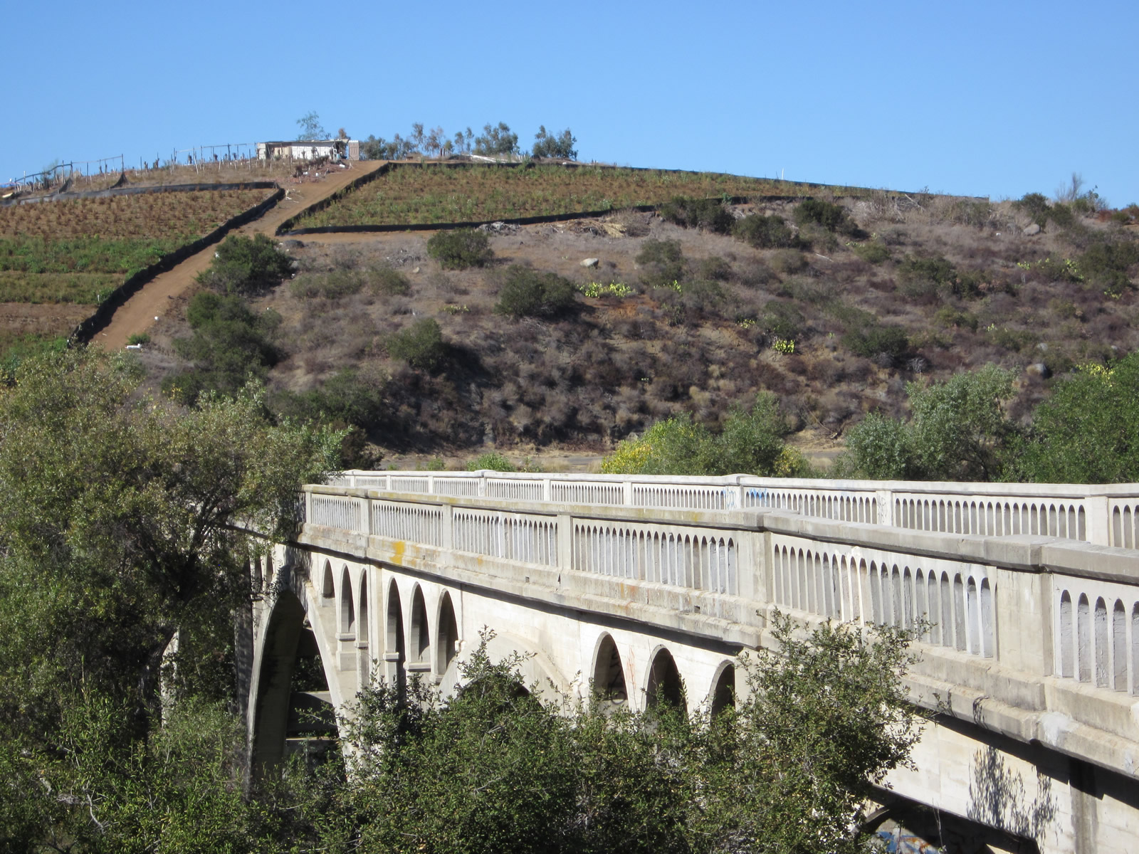
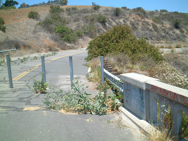
   | Approaching the Historic Bonsall Bridge from the north bank of the San Luis Rey River. When the span was still in service for motorists, the curves preceding it were signed with a 25 mile per hour advisory. 06/22/02 |
  | The 1925-built Bonsall Bridge is a deck spandrel arch bridge. Most of the arches are hidden by foliage in the river bottom and adjacent floodplain along the San Luis Rey River. 06/22/02 |
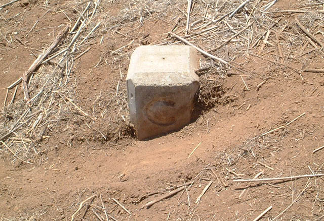 | This C-block, representing the state right of way along older highways, is located at the northern end of the Historic Bonsall Bridge on the west side of the approach road. 06/22/02 |
- "New lanes open on westbound State Route 76." KUSI News (San Diego, CA), October 18, 2012.
- Caltrans District XI Fact Sheet: State Route 76 West Widening and Realignment, September 1996.
- Caltrans District XI Fact Sheet: State Route 76 West Widening and Realignment, May 1998.
- SR 76 Middle Project - Construction Advisory #7 (UPDATED). SANDAG.
- SR 76 Corridor Project Construction Update #9. SANDAG, Summer 2012.
- SR 76 Corridor Project Construction Update #8. SANDAG, Spring 2012.
- State Route 76 East -- Preferred Alternative: Existing Alignment. SANDAG, June 2011.
- "Route 76 now four lanes between Interstates 5 & 15." The San Diego Union-Tribune (CA), May 15, 2017.
Photo Credits:
06/22/02, 11/11/12 by AARoads
Connect with:
Interstate 5
Interstate 15
Page Updated 07-17-2018.