
The Florida Keys represent a chain of islands extending southwest from the Homestead area to the Dry Tortugas in the Gulf of Mexico. The Keys, a word derived from the Spanish word cayos, meaning small islands, consist of a series of small coral islands situated on a thick layer of limestone. Surrounded by Florida Bay, the Gulf of Mexico, and the Atlantic Ocean, the islands rise to a maximum height of 18 feet on Windley Key. 800 of the islands are large enough to appear on USGS quads and other government maps, however many more consist of nothing more than a stand of mangroves just barely about sea level. A live area of coral islands lie between four and seven miles offshore of the Keys.1
The Tequesta and the Calusa native Indian tribes lived throughout the Keys and South Florida when Spanish explorers arrived in the 16th century. The arrival of Europeans brought disease to many native tribes throughout America, including the natives of the Florida Keys. One early explorer observed the chain of islands and gave them the name Los Martires, meaning the martyrs. The coral reefs that surround the islands were notorious for claiming vessels at the time, thus giving the land the nickname “martyrs”. Florida and the Keys were swapped between the kingdoms of Spain and Britain between 1763 and 1783. The treaties between the two countries were vague in their declaration of the Florida Keys, as the two counties were more focused on Havana, Cuba. In 1821, all of Florida, including the Keys, were ceded to the United States.2
In 1845 Florida was granted statehood. However much of the state remained vastly undeveloped with the exception of north Florida and the port and Navy town of Key West. In the early 1900s, entrepreneur Henry Morrison Flagler took on the task of linking Key West with the Florida mainline by constructing the Florida East Coast Railway from Homestead southward. In 1912, the railroad line carried its first train, and the line would remain in operation until 1935.2
1935 included the infamous Labor Day Hurricane, a category five storm that blew across the Florida Keys. The massive storm surge destroyed much of Flagler’s railroad line, rendering access between Key West and Homestead inaccessible. The rise of the automobile as the most viable way to travel resulted in the construction of the original Overseas Highway in 1938. Constructed with more than 40 bridges, the original road, dubbed U.S. 1, traveled 126 miles from Key West to the Homestead over the same path of the original railroad line.2
The Keys include a variety of communities ranging from Islamorada, the “Sportfishing Capital of the World”, Key Largo, the “Diving Capital of the World”, Marathon, an original base camp for Henry Flagler’s railroad, Big Pine Key, home of the endangered species Key Deer, and Key West, an eclectic city which is the southernmost in the United States.
Key West3
Key West was founded in 1822 and incorporated May 1889. In 1890 the city held the title as Florida’s largest city with 18,080 residents. The city played a role in rising tensions between the U.S. and Spain (Cuba) and became the home to Navy operations at the close of the 19th century. The cigar industry otherwise was a main staple of the Key West economy through the early 1900s. During the same time period the establishment of the Key West Electric Street Railway Company resulted in construction of a transit line along Duval Street, and construction of a road joined downtown with east ends of the island. That road is known as Flagler Avenue today.
Entrepreneur Henry Flagler arrived to Key West in the early 1900s and embarked on building a railroad line between the city and Miami in 1905. Dubbed the Florida East Coast Railroad, Flagler’s crews constructed the railroad in just three years with the line opening on January 22, 1912. To accommodate the railroad and its terminal in Key West, 134 acres of land was created with fill from the area now known as Trumbo. World War I brought a renewed presence from the military to Key West. With land leased from the Florida East Coast Railroad, Naval Air Base Key West was commissioned on December 18, 1917.
Tourist activity fueled Key West’s growth in the 1920s, and at that time the beginnings of a road network linking the coastal city with the Florida mainland arose. The first Overseas Highway opened in 1928 and consisted of separate roadways connected by 40 miles worth of ferry boat lines. In the 1930s tough times braced the nation with the Great Depression, and Key West was no exception. The tourist industry all but ceased, military operations were reduced to maintenance facilities, and the cigar industry dissolved due to the rise of cigarettes. Things got so bad economically that Key West deincorporated in 1934 with a reduced population of 13,118. The Labor Day Hurricane of 1935 followed, severing Key West from ground transportation.
In 1936, the state purchased the Florida East Coast Railroad right-of-way and began constructing the Overseas Highway. The existing infrastructure was converted for use by automobiles by adding 20 foot road beds or decks respectively. Signed as U.S. 1, the roadway opened to traffic in 1938. The onset of World War II brought Key West and the military back together with the opening of the Trumbo Point Navy station as a training and operations facility. 3,000 acres of land were now dedicated to military operations and in March 1945, Navy Station Key West was established. The increased military presence put an increased demand on U.S. 1, so 17 miles of the original alignment were bypassed by a straighter roadway. These today are signed as SR 4A and various Monroe County highways (signed and unsigned).
The economy of Key West shifted to the shrimping industry during the 1950s, the sunset celebration at Mallory Square began in 1953, and during the Cuban missile crisis of 1962, aircraft reconnaissance flights originated at Naval Air Station Key West. Tourism continued a slow growth in the Keys and Key West through the 1970s and 80s. In 1982 the U.S. Border Patrol began checkpoints at Florida City, requiring all travelers to present proof of citizenship. Traffic delays were long and many tourists stopped coming to Key West all together because of the aggravation involved with the road blocks. To counteract the actions, Key West took the symbolic step of declaring independence in the form of the Conch Republic. Flags featuring a conch shell went up briefly and the Key West mayor even applied for foreign aid from the federal government. The efforts resulted in the removal of the Border Patrol check point, but Conch Republic flags still fly symbolically throughout the Keys.
Key West serves as the county seat of Monroe in addition to being a cruise ship port, naval training flight area, and a cultural destination. 26,890 residents call the city home as of the 2020 U.S. Census.
Florida Keys Roads

Guides:
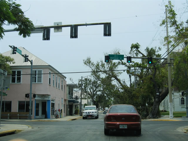
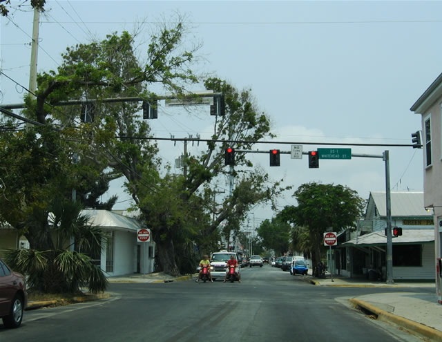
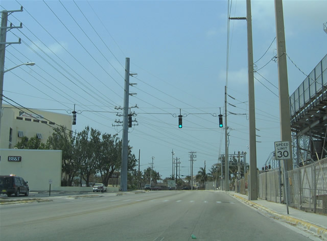
U.S. 1 – Overseas Highway
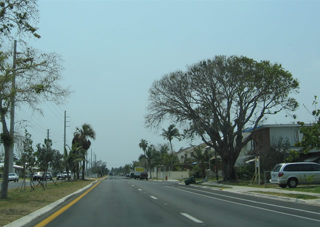
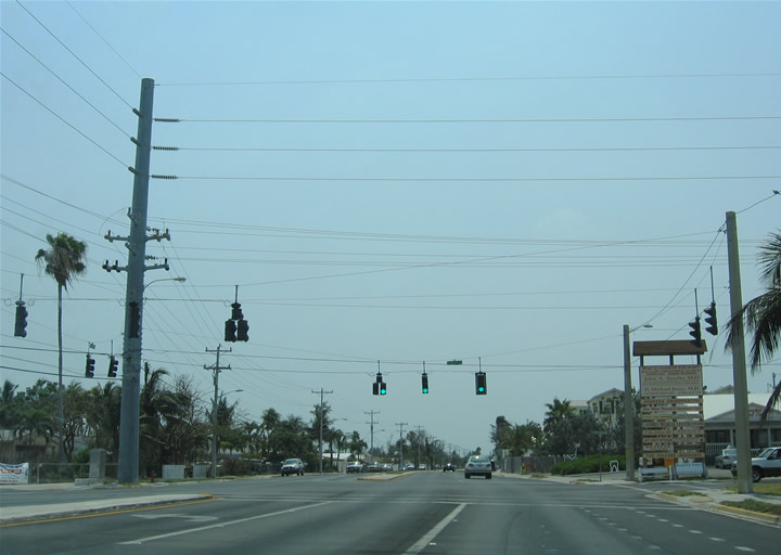
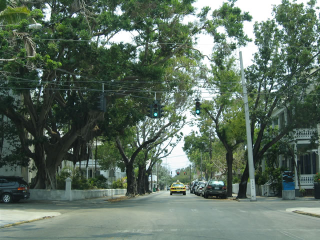
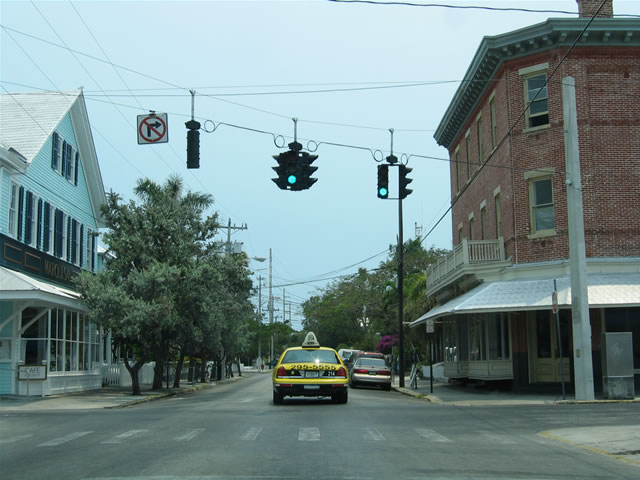
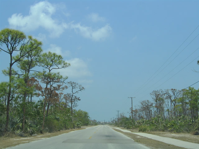
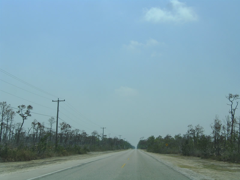
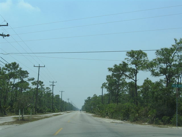
U.S. 1 follows the Overseas Highway south from Homestead to its terminus at Key West. The US route varies between two and four lanes on its 126-mile drive along the chain of islands. The roadway to Key West was originally numbered Florida State Road 4A, and some segments of the original road remaining in place and are signed simply as SR 4A and SR 4B with no shields in place. Other older segments of U.S. 1 remain in use as sparsely signed Monroe County highways.

Guides:
State Road A1A – South Roosevelt Boulevard
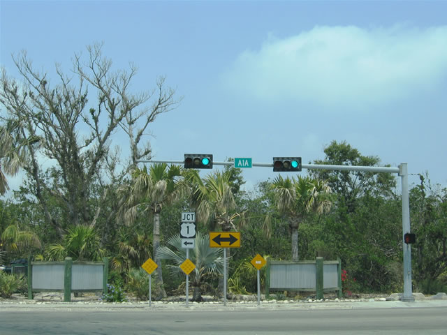
SR A1A represents an alternate routing of U.S. 1 throughout the state of Florida. There are many segments of the state road, and the southernmost leg is in Key West. Although only signed at the eastern end, SR A1A follows South Roosevelt Boulevard along the Cow Key Channel and Gulf of Mexico waters from U.S. 1 (Overseas Highway) south and west to Key West International Airport and Bertha Street. The state road ends at Bertha Street.


Guides:
Monroe County Road 905 and 905A – Card Sound Road
Card Sound Road provides a second crossing between the Florida Keys and the Florida Mainland. Branching southeast from U.S. 1 at Florida City, Card Sound Road carries no designation through to the Monroe County line. Once in Monroe County, the highway becomes part of CR 905A and spans the tolled Card Sound Bridge. At the junction with CR 905, CR 905A ends. CR 905 carries Card Sound Road the remainder of the way back to U.S. 1 at Key Largo. CR 905 also spurs northeast of Card Sound Road to the private Ocean Reef Club at the north end of Key Largo.

Guides:
Original Overseas Highway segments
Monroe County Road C5A – Flagler Avenue
U.S. 1 doubles as unsigned State Road 5 throughout the Sunshine State. Many times when a parent route carries a one or two digit state road number, the alternate, loop, business, or bypass carries the same number coupled with a lettered suffix. CR C5A represents old SR 5A, an alternate route for U.S. 1 through Key West. Relegated to county road status, and for the most part unsigned, CR C5A follows Flagler Avenue west from SR A1A (S Roosevelt Boulevard) to White Street through the mid section of Key West.
Per the 2014 FDOT GIS county road shape file, CR C5A exists only between White Street and a point just west of 17th Avenue along Flagler Avenue.
| Flagler Avenue (Monroe County C5A) west |
 | Flagler Avenue westbound after its beginning from SR A1A. The four lane boulevard serves residential areas between Kennedy Drive and SR A1A. 05/07/06 |
 | Monroe County Road C5A (Flagler Avenue) westbound at the signalized intersection with Kennedy Drive. Kennedy Drive heads north to Sigsbee Road at U.S. 1. A variety of businesses lie along Kennedy Drive nearby and along U.S. 1 (North Roosevelt Boulevard) at Kennedy Drive. Several ball fields and Poinciana Elementary School lie along Kennedy Drive as well. 05/07/06 |
| Flagler Avenue (Monroe County C5A) east |
 | The east end of Flagler Avenue at SR A1A (South Roosevelt Boulevard). SR A1A north merges with U.S. 1 (Overseas Highway) nearby while south parallels Cow Key Channel and the Straits of Florida south and west to Key West International Airport (EYW) and Smathers Beach. 05/07/06 |
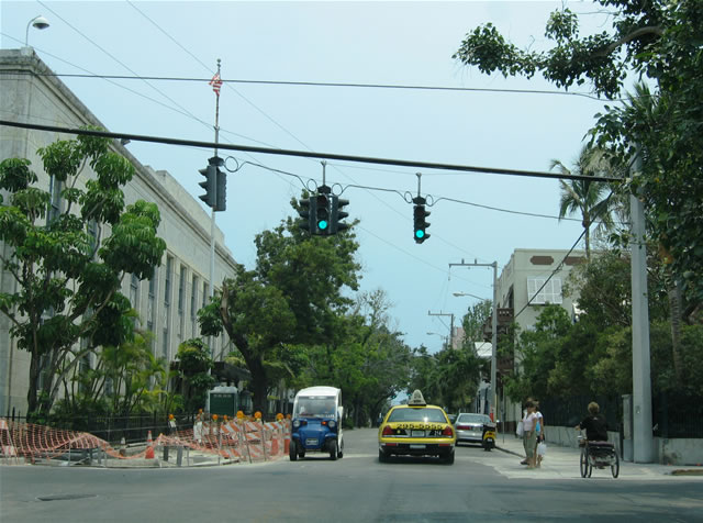
Key West Road and Street Scenes
| Simonton Street |
 | Looking at the Simonton Street southbound intersection with Caroline Street in downtown Key West. The U.S. District Court building resides on the southeast corner of the intersection. 05/07/06 |
 | Continuing on Simonton Street one block south at Eaton Street. Eaton Street links Downtown Key West with the Naval Air Station Key West Trumbo Point Annex via Palm Avenue. 05/07/06 |
 | Another block south on Simonton Street at Fleming Street. Fleming Street meets the south end of U.S. 1 (Whitehead Street) two blocks to the west. 05/07/06 |
 | Simonton Street south at Southard Street. Southard Street heads west to Naval Air Station Key West Harry S. Truman Annex and Fort Zachary Taylor Historic State Park. 05/07/06 |
| Southard Street |
 | Street level traffic lights at the intersection of Southard Street west iat Duval Street. Duval Street parallels U.S. 1 (Whitehead Street) one block to the east as a secondary route into Downtown from the southeast. 05/07/06 |
 | Southard Street west at U.S. 1 (Whitehead Street), one block south of U.S. 1's south end and one block east of the entrance into the Harry S. Truman Annex. 05/07/06 |
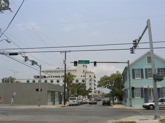
 | Looking northeast on Southard Street east at U.S. 1 (Whitehead Street). Southard Street ends eight blocks ahead at White Street and the Trumbo Annex. The Monroe County Courthouse lies along Whitehead Street between Southard and Fleming Streets. 05/07/06 |
| South Street |
 | South Street straddles the southern reaches of Key West between the Southernmost Point Monument and Reynolds Street. Pictured here is South Street east at Simonton Street. Use Simonton Street south for South Beach and north for Downtown. 05/07/06 |
 | As South Street pushes east, the area becomes more residential. Reynolds Street meets South Street at a signalized intersection north of Astro City Park. 05/07/06 |
 | A four-way stop and flasher operates at South and Grinnell Streets. South Street dog legs between two segments at White Street ahead. 05/07/06 |
| White Street |
 | Looking at White Street southbound at Von Phister Street in southwest Key West. White Street heads south from Eaton Street at Palm Avenue to Higgs Beach Park and the White Street Pier. 05/07/06 |
 | White Street south at Flagler Avenue (Monroe County C5A). Flagler Avenue comprises an east-west through route between White Street and South Roosevelt Boulevard (SR A1A) at Cow Key Channel. 05/07/06 |
 | White Street ends at Atlantic Boulevard between Higgs and Rest Beach. The Key West AIDS Memorial lies on the south side of the intersection. Beyond that is the White Street Pier. Atlantic Boulevard west heads through Higgs Beach Park to Reynolds Street. Atlantic Boulevard east continues a short distance to Bertha Street (SR A1A). 05/07/06 |
| Kennedy Drive |
 | Kennedy Drive constitutes a four lane arterial between Flagler Avenue (Monroe County C5A) and U.S. 1 (North Roosevelt Boulevard) at Sigsbee Road to Dredgers Key. Kennedy Drive serves City Park in this scene near Northside Drive. 05/07/06 |
 | Typical suburban style strip malls and big box retail encompass the areas of Kennedy Drive and U.S. 1 (North Roosevelt Boulevard) in east Key West. Northside Drive intersects Kennedy Drive here at City Park. Northside Drive ventures east from the traffic light to 20th Street and 18th Terrace. 05/07/06 |
 | Northbound Kennedy Drive at U.S. 1 (North Roosevelt Boulevard). U.S. 1 south continues through the commercial district toward White Street and Downtown. U.S. 1 north hugs the Gulf of Mexico waters east to SR A1A (South Roosevelt Boulevard) at the Overseas Highway to Stock Island. Sigsbee Road continues Kennedy Drive north to the U.S. Naval Housing complex on Dredgers Key. 05/07/06 |
| Other Key West Street scenes |
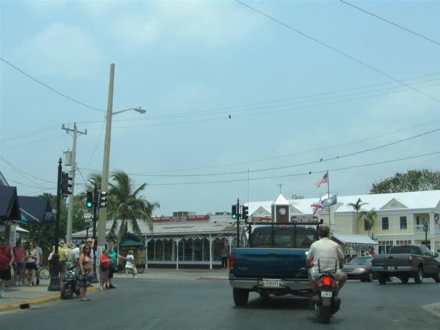 | Front Street serves the Downtown Key West tourist district and cruise terminal area between Greene and Simonton Streets. Area attractions include Mallory Square, the Key West Art Center, and the Key West Shipwreck Museum. Front Street eastbound intersects Duval Street in this scene. 05/07/06 |
 | Fleming Street eastbound at the southern terminus of U.S. 1 (Whitehead Street). Fleming Street travels east from the Harry S. Truman Annex to White Street through the southern reaches of Downtown Key West. Whitehead Street south carries the northbound beginning of U.S. 1 south to Truman Avenue. Whitehead Street north ends at Front Street in the heart of Downtown. 05/07/06 |
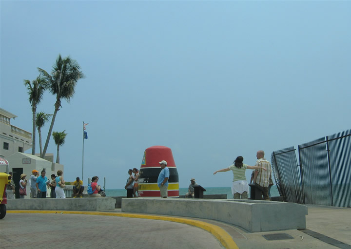 | Whitehead Street southbound curves east to form South Street at the Southernmost Point Monument. The monument resembles a buoy as it faces the Straits of Florida waters adjacent to the Harry S. Truman Annex. A small peninsula (Whitehead Spit) within the Annex represents the actual southernmost location in the contiguous United States. 05/07/06 |
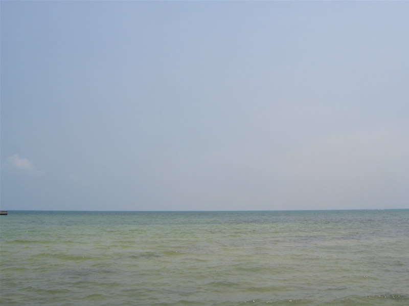 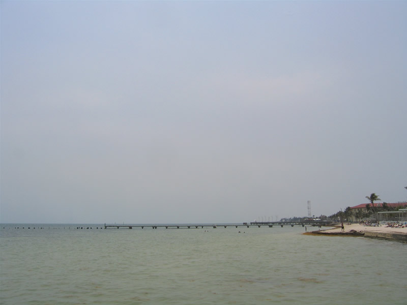 | Looking outward at the Straits of Florida from the White Street Pier and Higgs Beach. A scant 90 miles separate Key West, Florida from the nation of Cuba. To the west is the Southernmost Point Monument and the Harry S. Truman Annex. Damaged pier remnants pictured here remained as a testament to the numerous hurricanes that skirted the area in the early 2000s. The White Street pier was closed at the time of these photos. 05/07/06 |
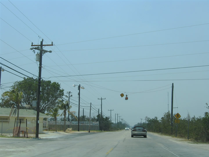
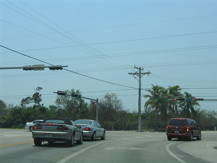
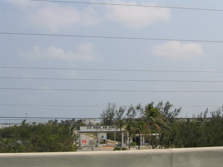 | The entrance to Naval Air Station Key West as seen from U.S. 1 (Overseas Highway). The military base lies south of U.S. 1 via Saratoga Avenue on Boca Chica Key. The facility is home to a navy flight training school 05/07/06 |
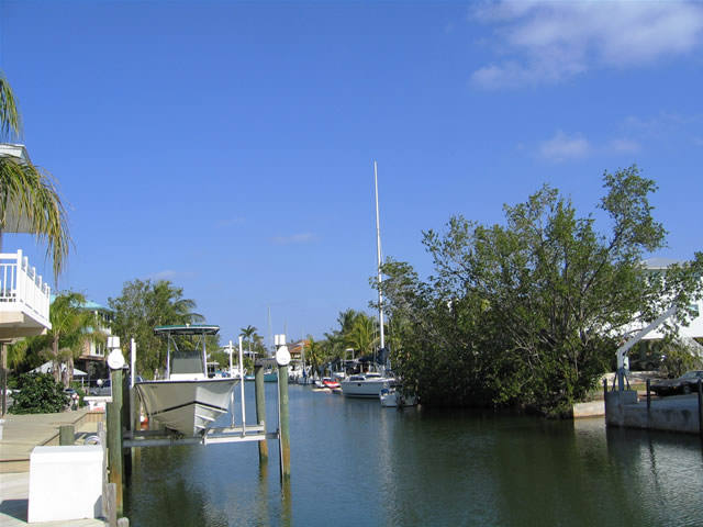 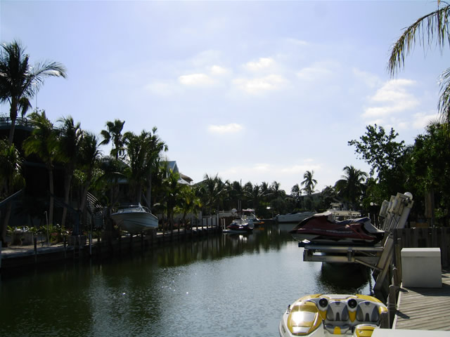 | Canals are often incorporated into South Florida and Keys neighborhoods. They not only create more waterfront property, but also provide access to the bays, gulf, and ocean for water enthusiasts. Pictured here are two scenes of a neighborhood canal in Key Largo. 05/07/06 |
| Key Deer Boulevard north |
 | Key Deer Boulevard spurs north from U.S. 1 along Big Pine Key. The roadway derives its name from the local Key Deer, an endangered species only found in the lower Florida Keys. Signs posted along area roads advise drivers not to feed the deer and that $250 fines are applied to those who do so. The reason for the prohibition is that deer that approach people offering food are more likely to approach cars and trucks in the future, thus increasing the likelihood of an accident causing their numbers to dwindle even further. 05/07/06 |
 | A flasher hangs above the intersection of Key Deer Boulevard and South Street advising 15 miles per hour for the adjacent baseball field. Continuing north, Key Deer Boulevard intersects Watson Boulevard, the original Overseas Highway 05/07/06 |
 | Traveling north between Watson Boulevard and Palm Avenue. A canal-based neighborhood lies west of Key Deer Boulevard and north of Watson Boulevard. Further north is the Blue Hole, the only fresh body of water in the entire Florida Keys system. 05/07/06 |
 | A scattering of homes lie along the path of Key Deer Boulevard, including those found along Kyle Avenue. Kyle Avenue stems west of the road just south of its dead end near the northern reaches of Big Pine Key. 05/07/06 |
| Key Deer Boulevard south |
 | Key Deer Boulevard begins and travels south from a dead end to Kyle Boulevard, Gulf Boulevard, and the Blue Hole. Much of the area on Big Pine Key is a part of the National Key Deer Refuge. 05/07/06 |
 | Southbound at the intersection with Palm Avenue. Palm Avenue travels west to Narcissus Avenue south. Both roads intersect Watson Boulevard (the original Overseas Highway) to the south. Watson Boulevard travels west to a dead end at Pine Channel and east to No Name Key. 05/07/06 |
 | Continuing south to the flasher with South Street on Key Deer Boulevard. South Street leads east to Wilder Road and Winifred Street. 05/07/06 |
 | Key Deer Boulevard meets U.S. 1 (Overseas Highway) at the lone signalized intersection on Big Pine Key. 05/07/06 |
| The Blue Hole |
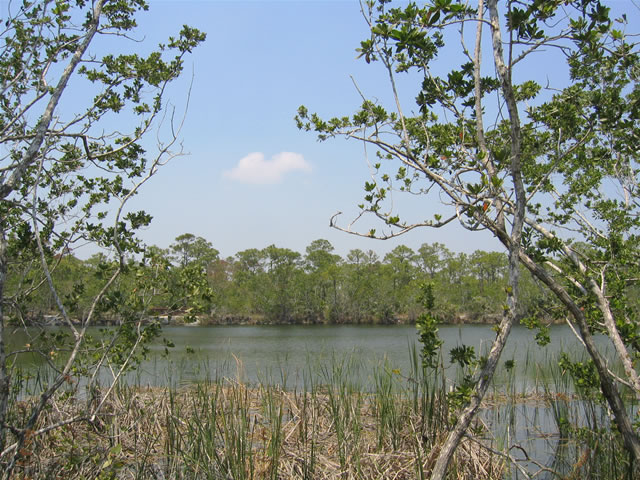 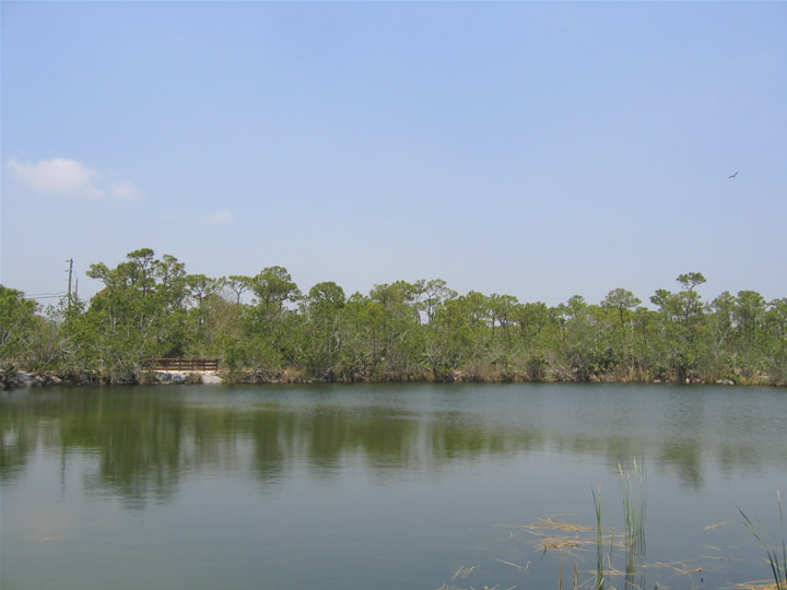 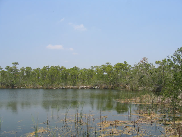 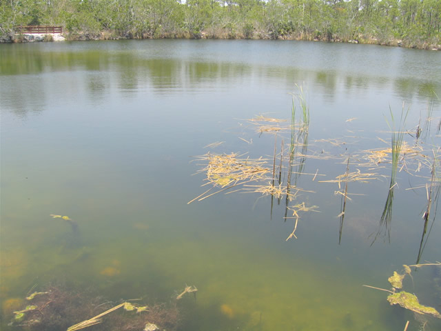 | The Blue Hole is the result of a rock quarry created in the construction of the Florida East Coast Railroad. The pit was deep enough and far enough from the adjacent waters, that rainfall eventually filled it with fresh water. The Blue Hole is open to visitors as part of the National Key Deer Refuge, and an interpretive kiosk and walking trails are available on site. 05/07/06 |
Sources:
- Geology – Florida Keys
http://www.florida-keys.fl.us/geology.htm”, Florida Keys On-Line Guide. - History – Florida Keys
http://www.florida-keys.fl.us/history.htm, Florida Keys On-Line Guide. - Case Key West page2, Florida Keys History Museum. http://www.keyshistory.org/keywestpage2.html
Page Updated February 10, 2013.