|
| U.S 101 begins at a tri-level stack interchange with Interstate 5 (Exit 104) at the city of Tumwater. U.S. 101 winds 365.56 miles around the Olympic Peninsula to Shelton, Port Angeles and Aberdeen and south along the coast to Astoria, Oregon. 09/02/06 |
|
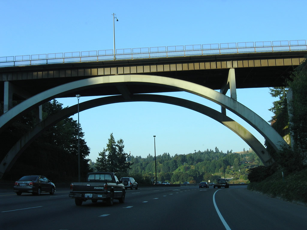
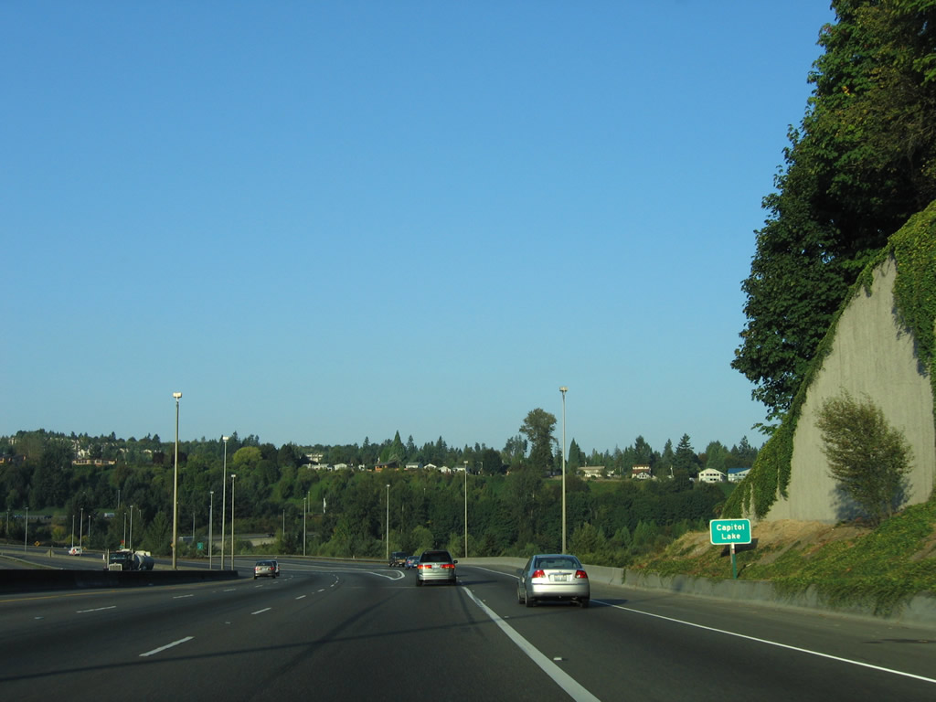
| An arch bridge carries Capitol Boulevard (historic U.S. 99) over Interstate 5, east of Capitol Lake. 09/02/06 |
|
| Interstate 5 south at the two lane ramp for U.S. 101 north (Exit 101). U.S. 101 travels west to West Olympia and Mud Lake, splitting with SR 8 in six miles. SR 8 joins Olympia with Aberdeen via U.S. 12, a route that was originally signed as U.S. 410. U.S. 101 and Interstate 5's freeway at Tumwater and south Olympia opened in 1958. 09/02/06 |
|
| Interstate 5 crosses Capitol Lake at the split with U.S. 101 north. 09/02/06 |
|
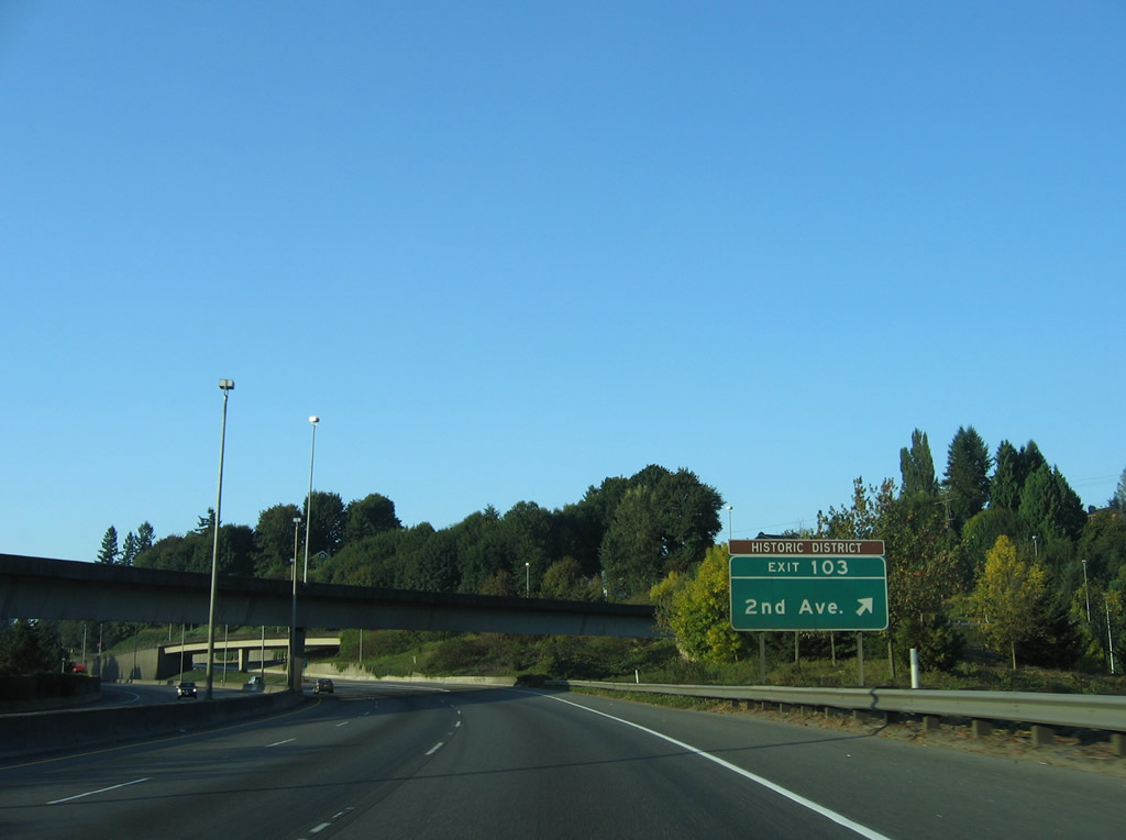
| Exit 103 leaves from within Exit 104 and connects with parallel 2nd Avenue SW alongside Interstate 5 south. 2nd Avenue SW intersects Custer Way nearby. The "historic district" may refer to Tumwater Historical Park, a park next to Capitol Lake. 09/02/06 |
|
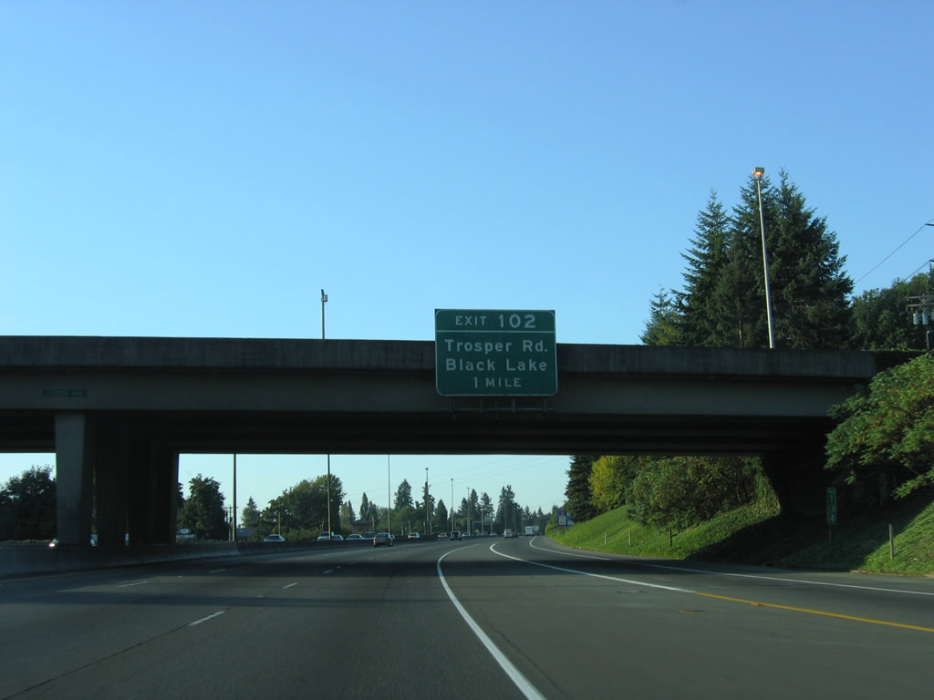
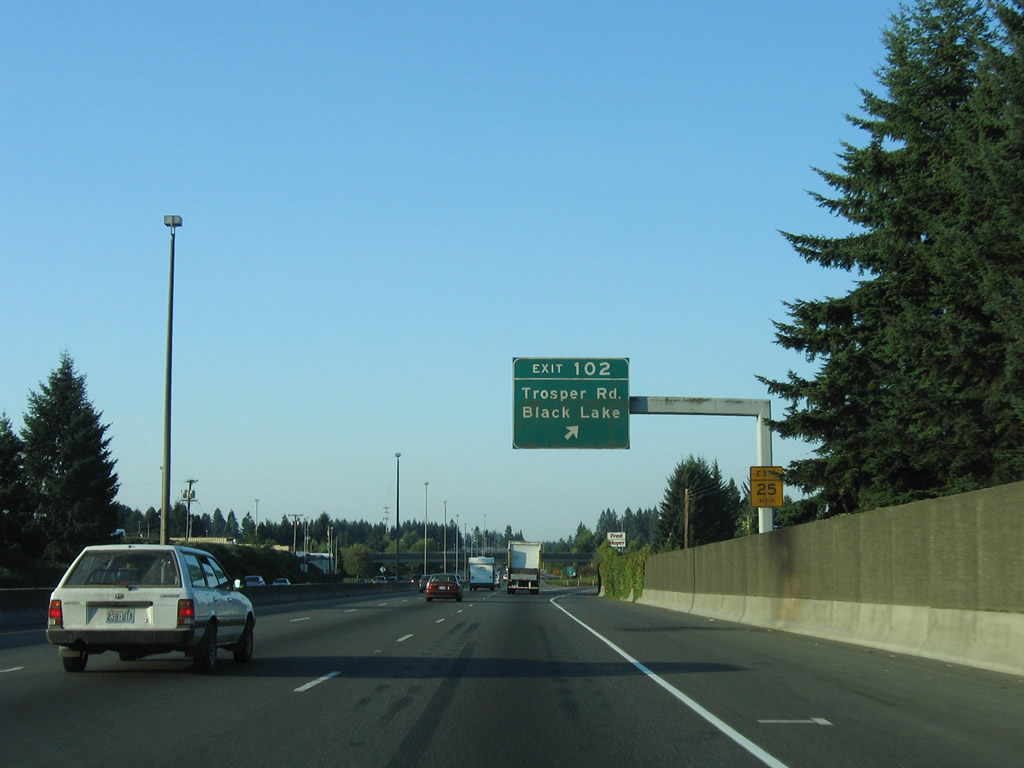
| Attached to the Custer Way overpass is the one mile overhead for Exit 102, Trosper Road to Black Lake. Trosper Road briefly connected U.S. 99 from the 1950s expressway south of Exit 102 with adjacent Capitol Boulevard (U.S. 99 until 1958). 09/02/06 |
|
| Exit 102 consists of a parclo interchange with east-west Trosper Road. Retail lines Trosper Road within the immediate vicinity of Interstate 5. West of the freeway, Trosper Road (54th Avenue SW) leads, eventually, to Black Lake-Belmore Road and Black Lake, a popular water-skiing spot. Immediately east of the interchange, Trosper Road ends at Capitol Boulevard. 09/02/06 |
|
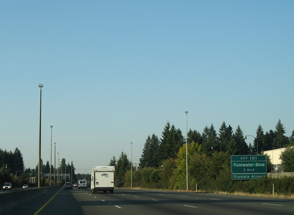
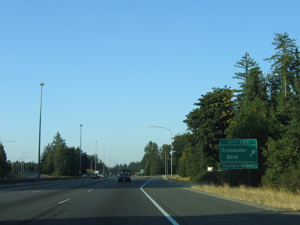
| Tumwater Boulevard meets Interstate 5 at a diamond interchange (Exit 101). Speed limits increase to 70 mph south of Trosper Road. 09/02/06 |
|
| Exit 101 departs Interstate 5 south for Tumwater Boulevard. The east-west road joins the freeway with Olympia Airport (OLM) and Capitol Boulevard (Old U.S. 99) to the east and Littlerock Road to the west. 09/02/06 |
|
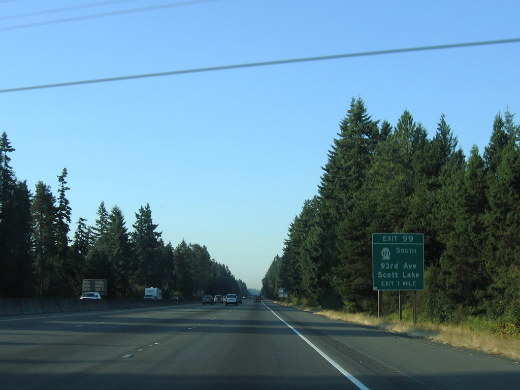
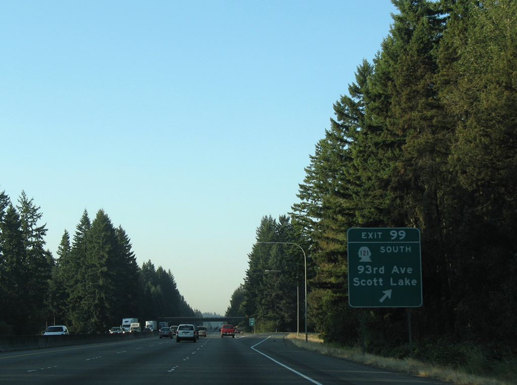
| SR 121 begins at the Exit 99 diamond interchange with Interstate 5 in one mile. The 7.67 mile loop follows 93rd Avenue east to Tilley Road south to South Union. 09/02/06 |
|
| Interstate 5 south at SR 121 (Exit 99) south. SR 121 encircles Scott Lake between Exits 99 and 95. 93rd Avenue east from the state route leads to Old Highway 99 north of Tenino. 09/02/06 |
|
| SR 121 travels through Millersylvania State Park and turns west from Tilley Road onto Maytown Road back to Interstate 5 (Exit 95). 09/02/06 |
|
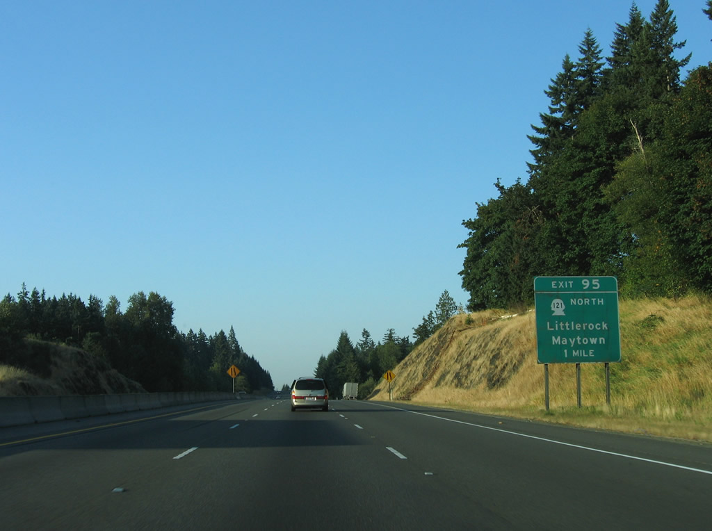
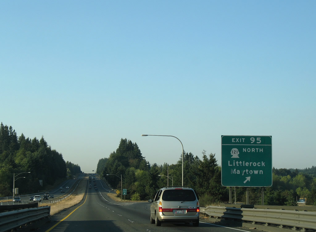
| The parallel Tacoma Eastern Railroad of SR 121 results in a folded diamond interchange with Interstate 5 at Exit 95 near Maytown. West from Interstate 5, Maytown Road continues to Littlerock. A combination of Albany Street, Littlerock Road and Maytown Road between Rochester (U.S. 12) and Interstate 5 was a part of an extended SR 121 until 1992. 09/02/06 |
|
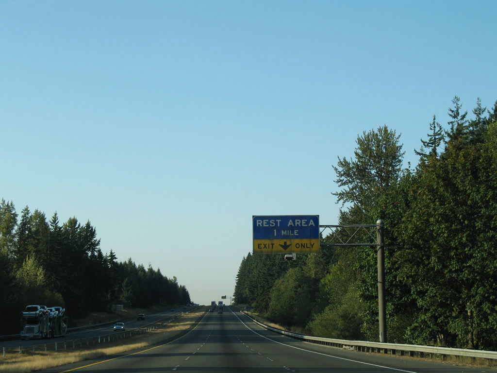
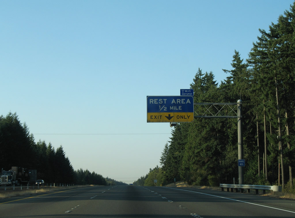
| A southbound side rest area follows along Interstate 5 south; northbound travelers also see a facility by Scatter Creek. The next area is 40 miles to the south. 09/02/06 |
|
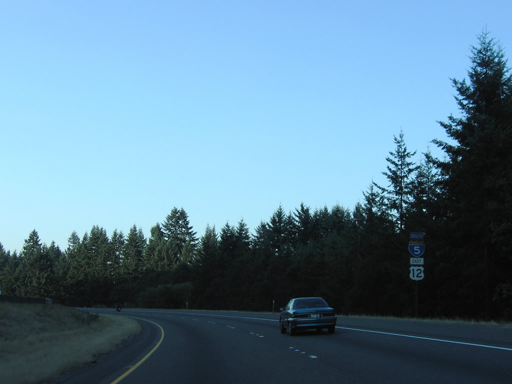
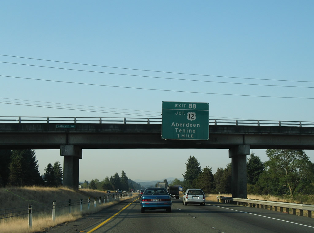
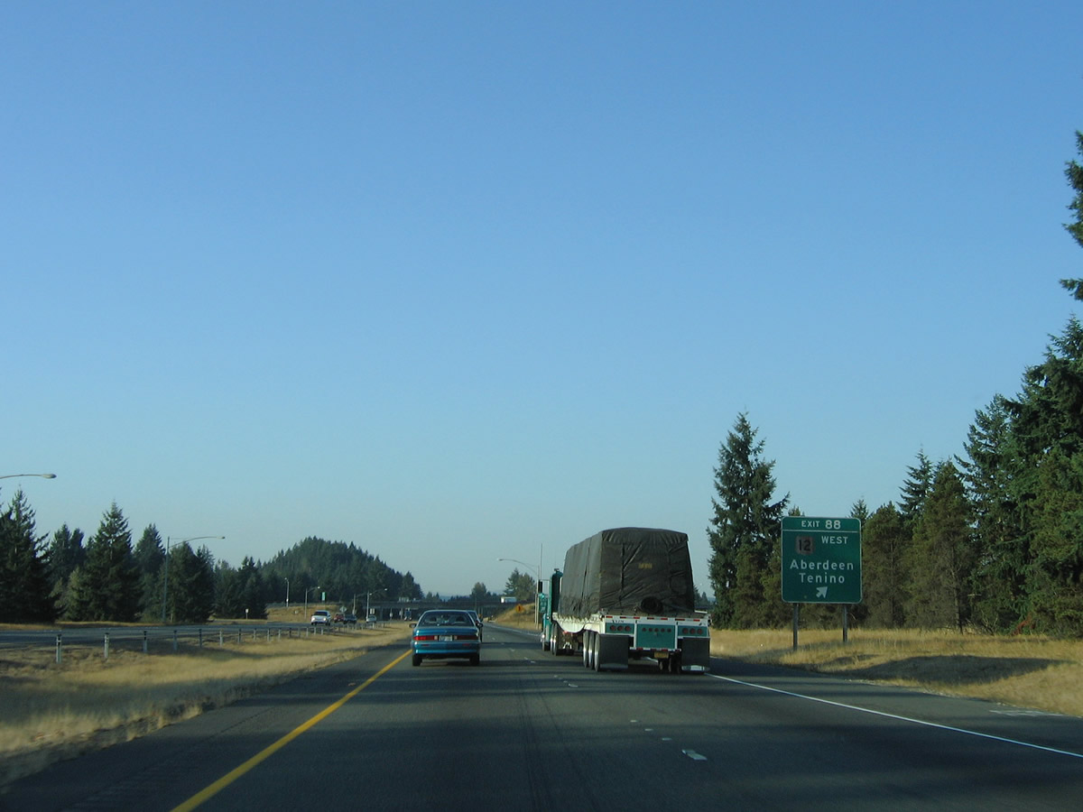
| Interstate 5 lowers onto Grand Mound Prairie and approaches a six-ramp parclo interchange with U.S. 12 west and Old Highway 99 north (Exit 88). U.S. 12 east enters a 19.92 mile overlap with Interstate 5 south from Centralia and Chehalis beyond Exit 88. 09/02/06 |
|
| Southbound Interstate 5 at the ramp departure to U.S. 12 west and Old Highway 99 north. U.S. 12 replaced SR 8 between U.S. 99 and U.S. 410 at Elma in 1967 when it was extended west from Idaho. The US route curves northwest through Rochester and Oakville before overtaking former U.S. 410 west to Montesano and Aberdeen (U.S. 101). Traffic headed east to Tenino follows the old Pacific Highway to SR 507. The South Sound Speedway can be reached by taking Exit 88 to Pacific Highway north. 09/02/06 |
|
| I-5/U.S. 12 southbound reassurance markers posted at Grand Mound. Old U.S. 99 shifts to the westbound side of the freeway to the Harrison Avenue exit in Centralia. 09/02/06 |
|
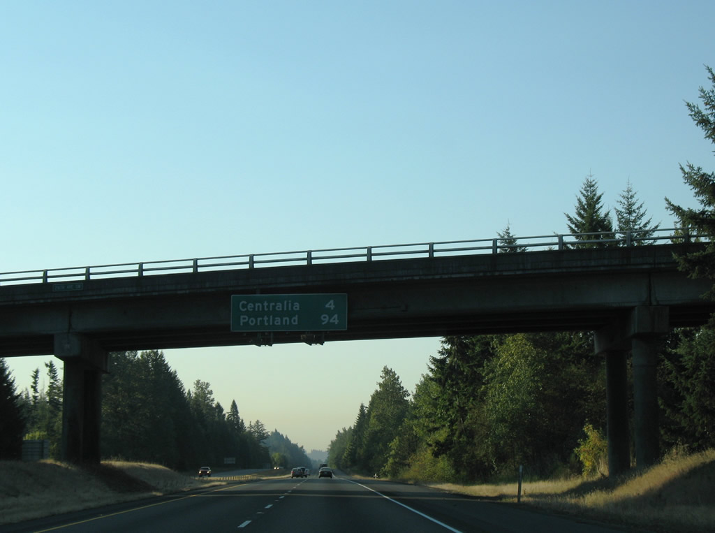
| Southbound distance sign attached to the 216th Avenue SW overpass over Interstate 5 & U.S. 12. Centralia lies four miles to the south, Portland is now less than a 100 mile drive. 09/02/06 |
|
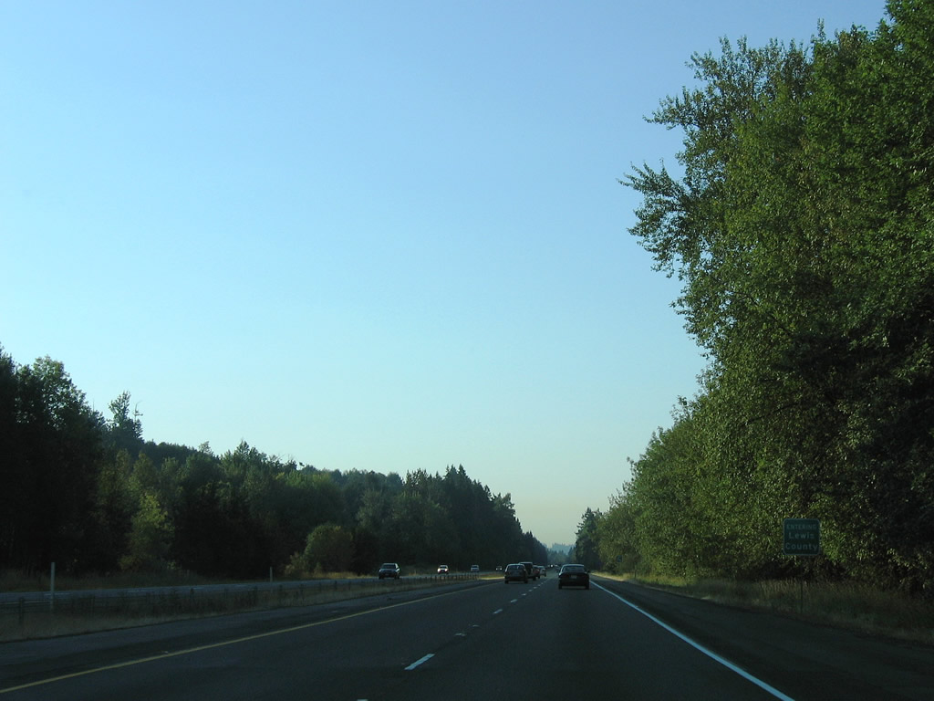
| Travelers enter Lewis County along I-5/U.S. 12 south. The freeway remains on the prairie below Davis Hill among other hills to the east. 09/02/06 |
Page Updated 11-13-2010.

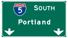
 South
South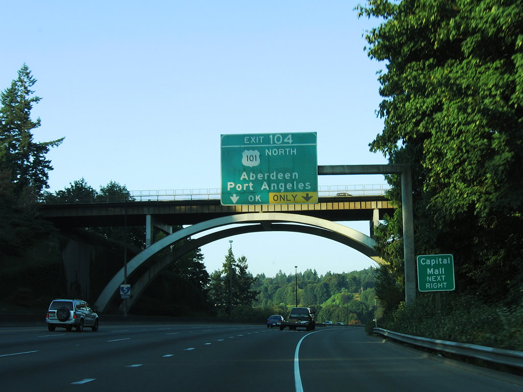


 East
East