|
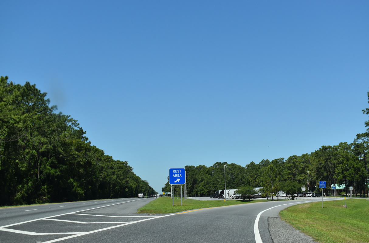
| The third westbound rest area along Interstate 10 in Florida lies midway between the Suwannee River and Exit 262 for County Road 255. 05/02/20 |
|
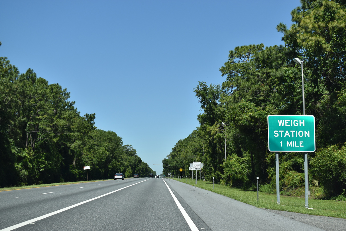
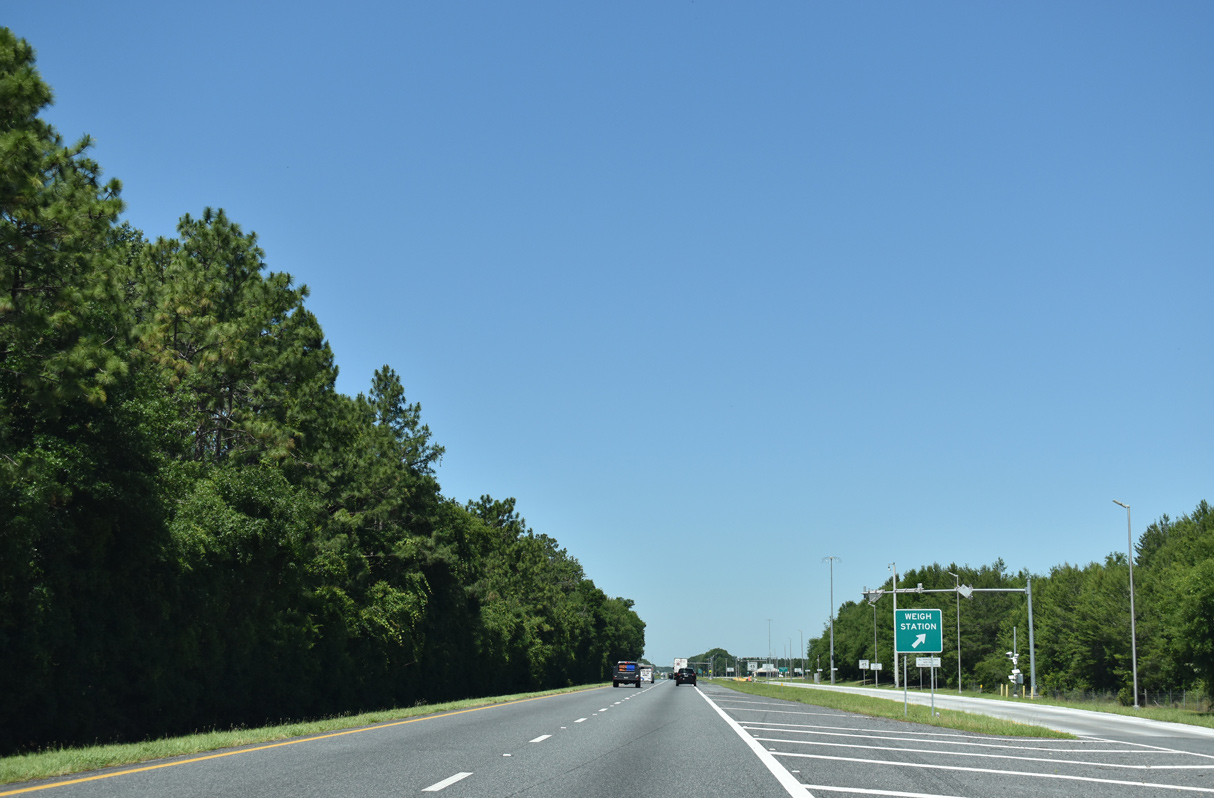
| Weigh stations follow the rest area facilities along Interstate 10 west. These replaced an original set of scales in western Suwannee County. 05/02/20 |
|
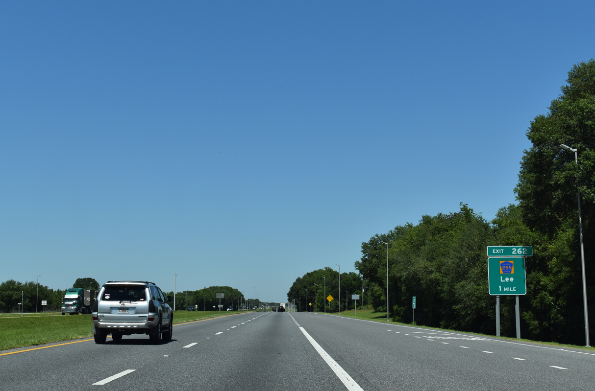
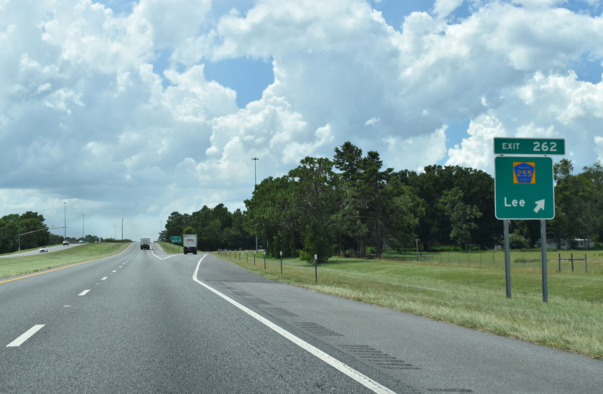
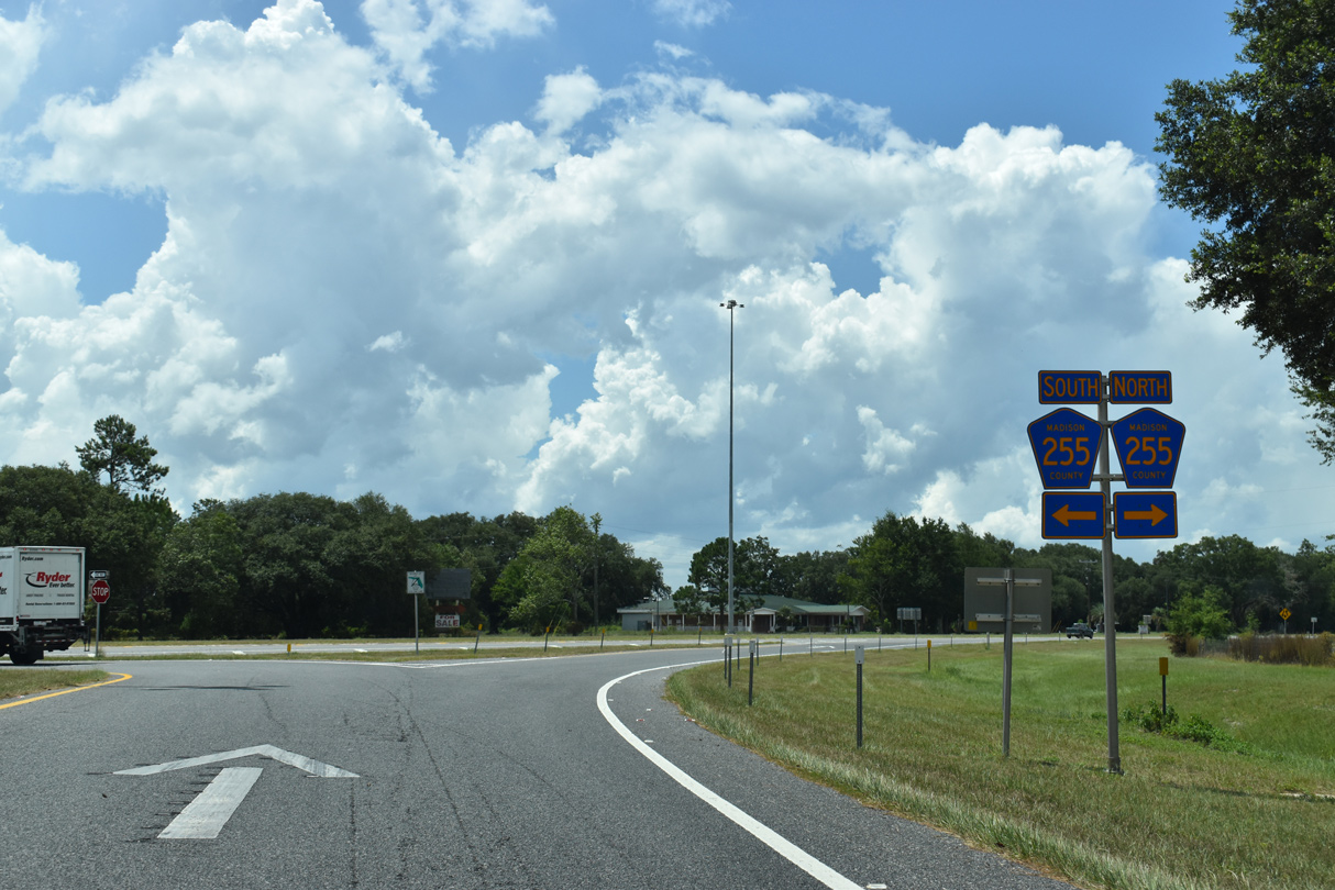
| Leaving the weigh stations, Interstate 10 advances one mile to a diamond interchange (Exit 262) with CR 255. CR 255 connects the freeway with U.S. 90 at Lee, 2.75 miles to the north. 05/02/20 |
|
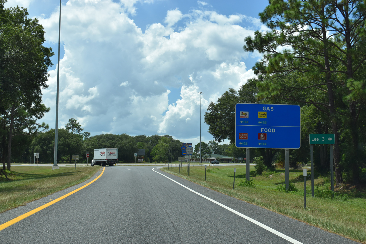
| Exit 262 is the first of four in Madison County along Interstate 10. CR 255 stretches 10.89 miles from Lee to CR 53. North from the town of Lee, CR 255 continues 12.75 miles to CR 150 east of Pinetta. 07/22/20 |
|
| Westbound reassurance marker posted ahead of Peterson Sink and Middle Lake. 05/02/20 |
|
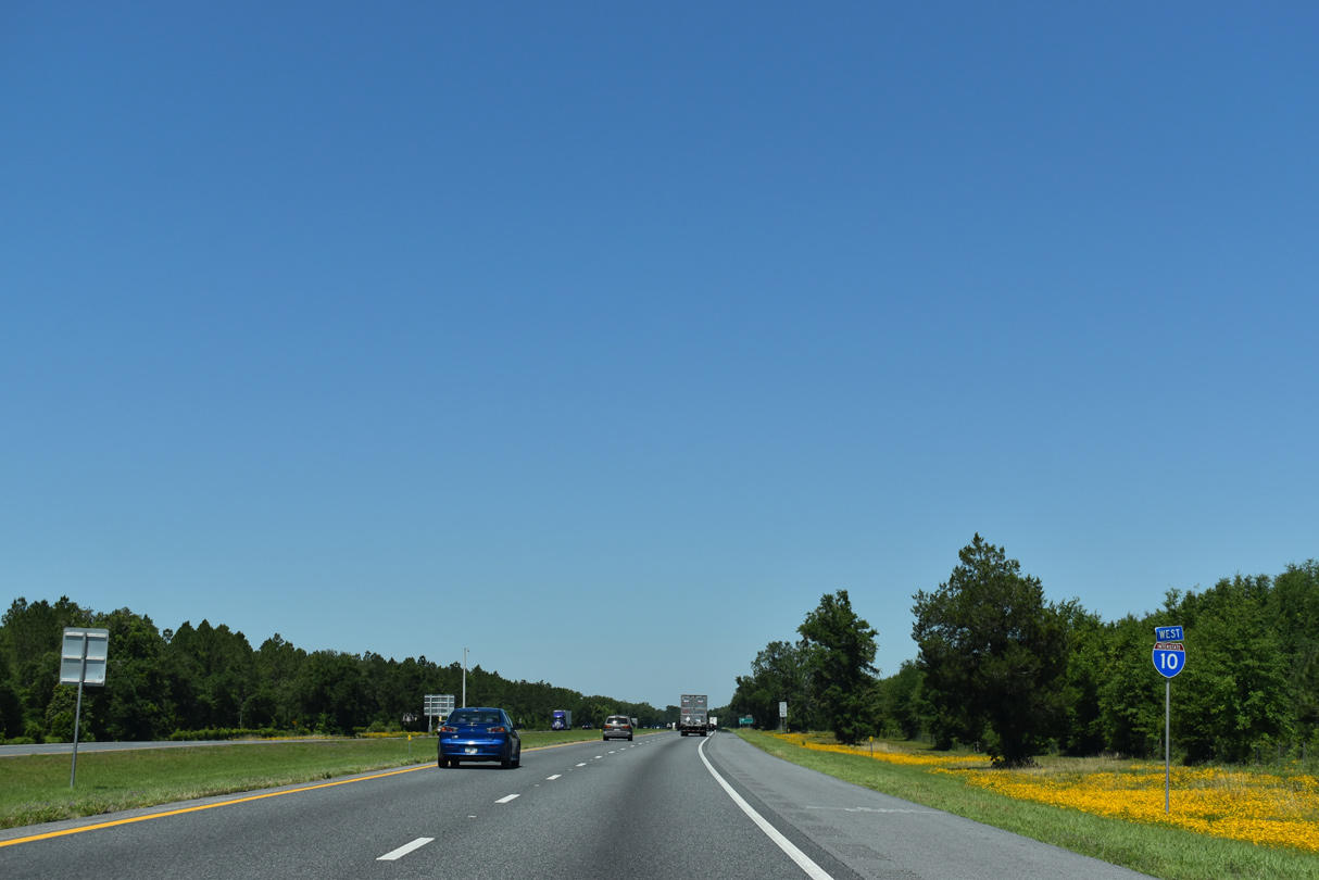
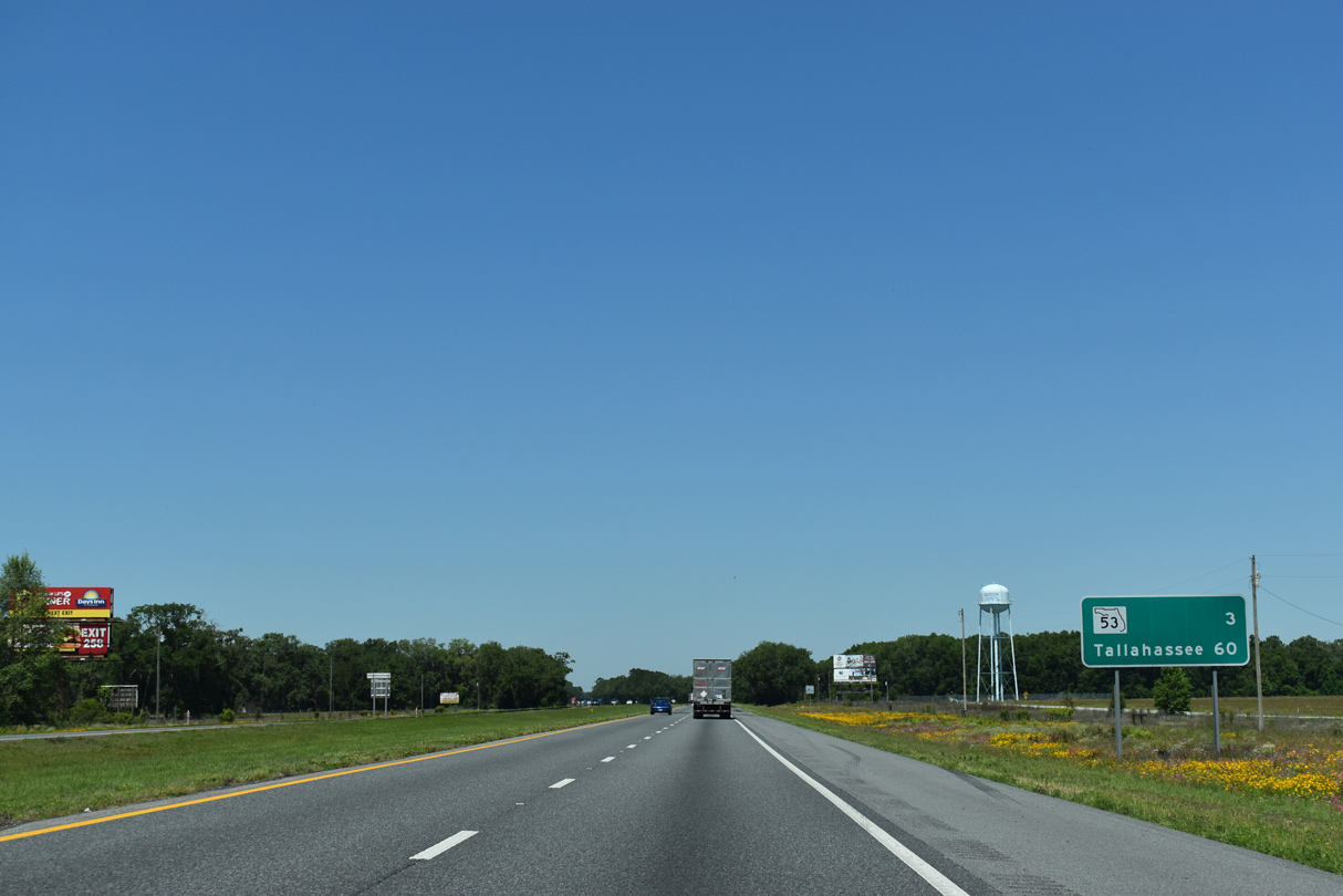
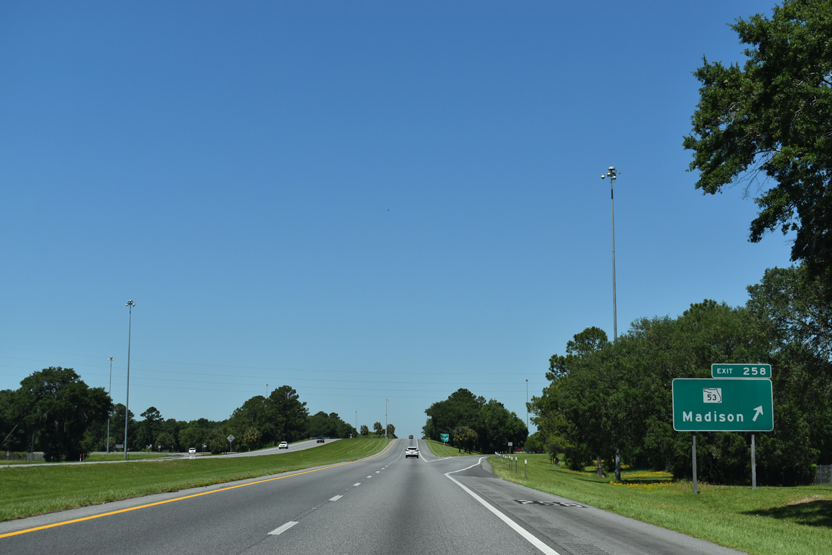
| State Road 53 south and County Road 53 north come together at a diamond interchange (Exit 258) near Riggins Lake in three miles. 05/02/20 |
|
| CR 53 travels 16 miles south from SR 53 and Interstate 10 to the unincorporated community of Day. 05/02/20 |
|
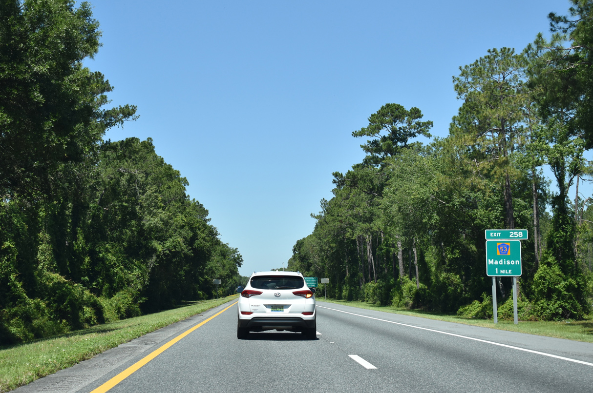
| Exit 258 is signed for Dowling Park, even though a more direct route to the Suwannee County community is achieved by taking CR 255 south from Exit 262 to CR 53. 07/22/20 |
|
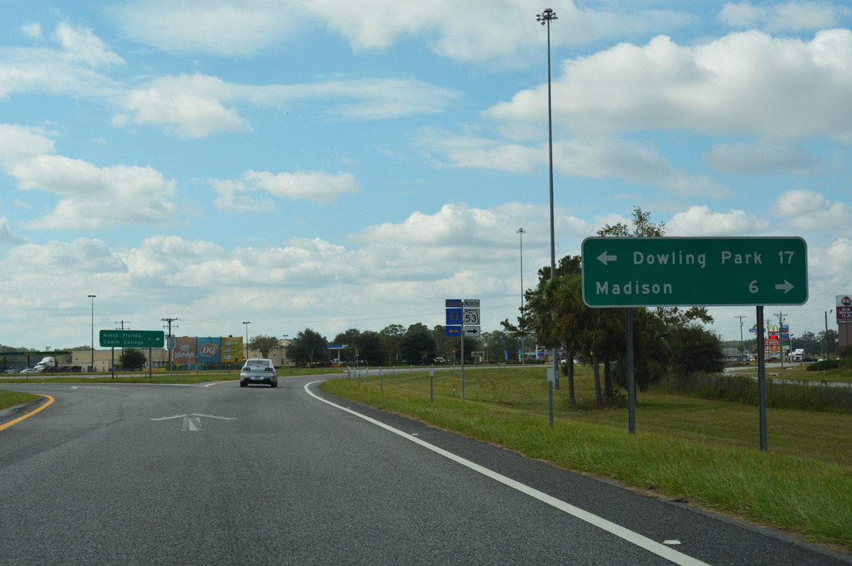
| SR 53 heads 6.48 miles northwest from Exit 258 to U.S. 90 (Base Street) and SR 145 at Downtown Madison. 05/02/20, 10/05/16 |
|
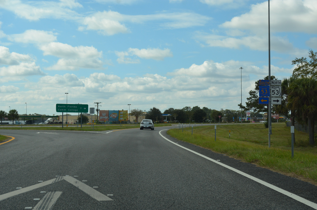
| U.S. 90 continues west an overlap with SR 53 to North Florida Community College as SR 53 resumes a northward course 12.38 miles to SR 333 south of Quitman, Georgia. 10/05/16 |
|
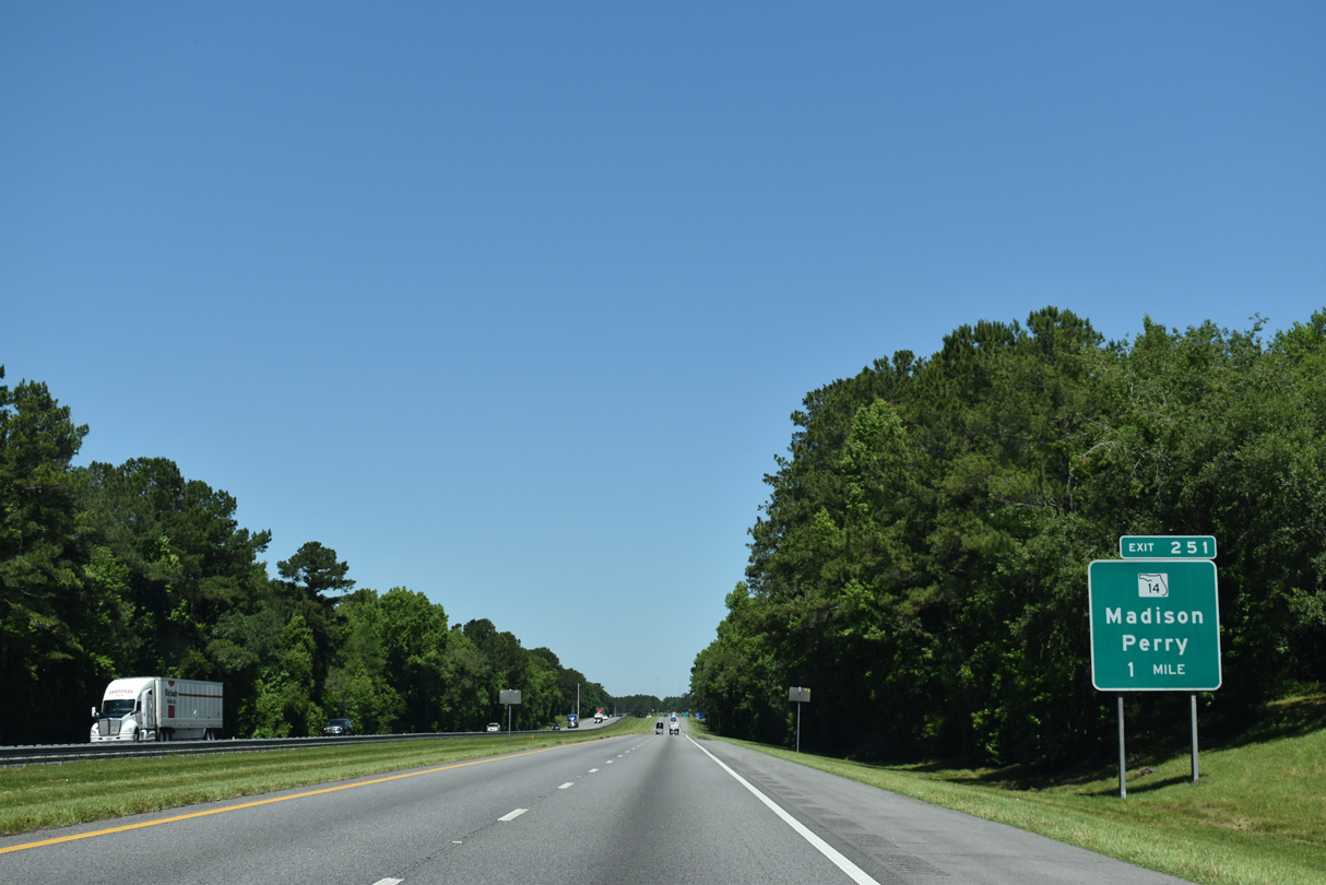
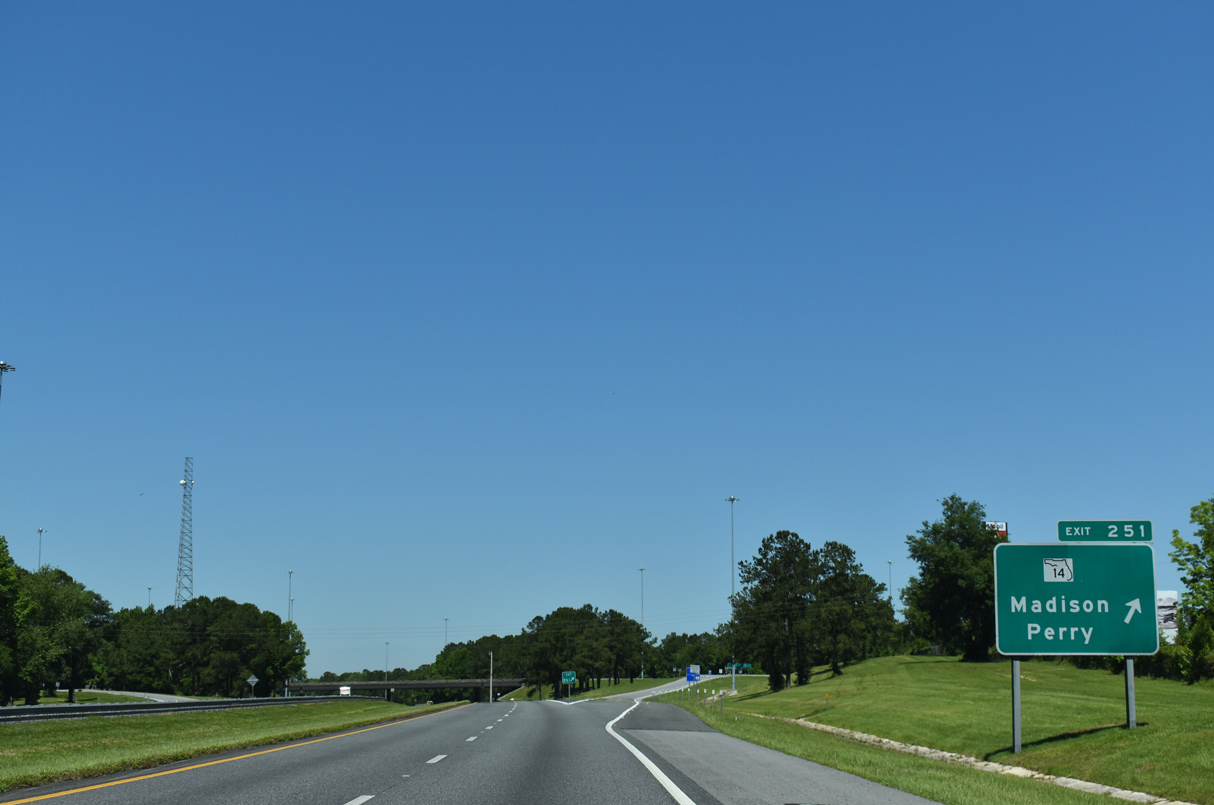
| Interstate 10 stays well south of Madison and next meets SR 14 north and CR 14 south at a diamond interchange (Exit 251). 05/02/20 |
|
| County Road 14 provides the first of two routes to the Taylor County seat of Perry from Interstate 10. The route travels 15.7 miles southwest from Exit 251 to U.S. 221 at Shady Grove. 05/02/20 |
|
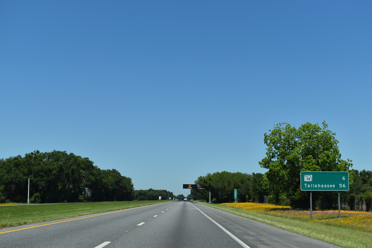
| SR 14 constitutes a 4.06 mile route from Interstate 10 (Exit 251) northeast to SR 53 (Duval Avenue) in Madison. This Exit 251 sign is a replacement for a sign knocked over in 2008. 05/02/20 |
|
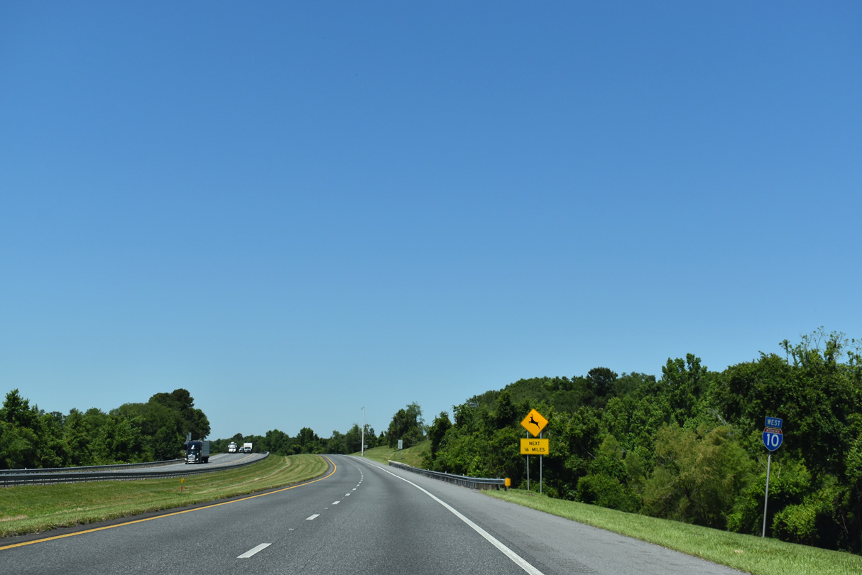
| Interstate 10 turns west from SR 14 by Hutto Pond and this reassurance marker. 05/02/20 |
|
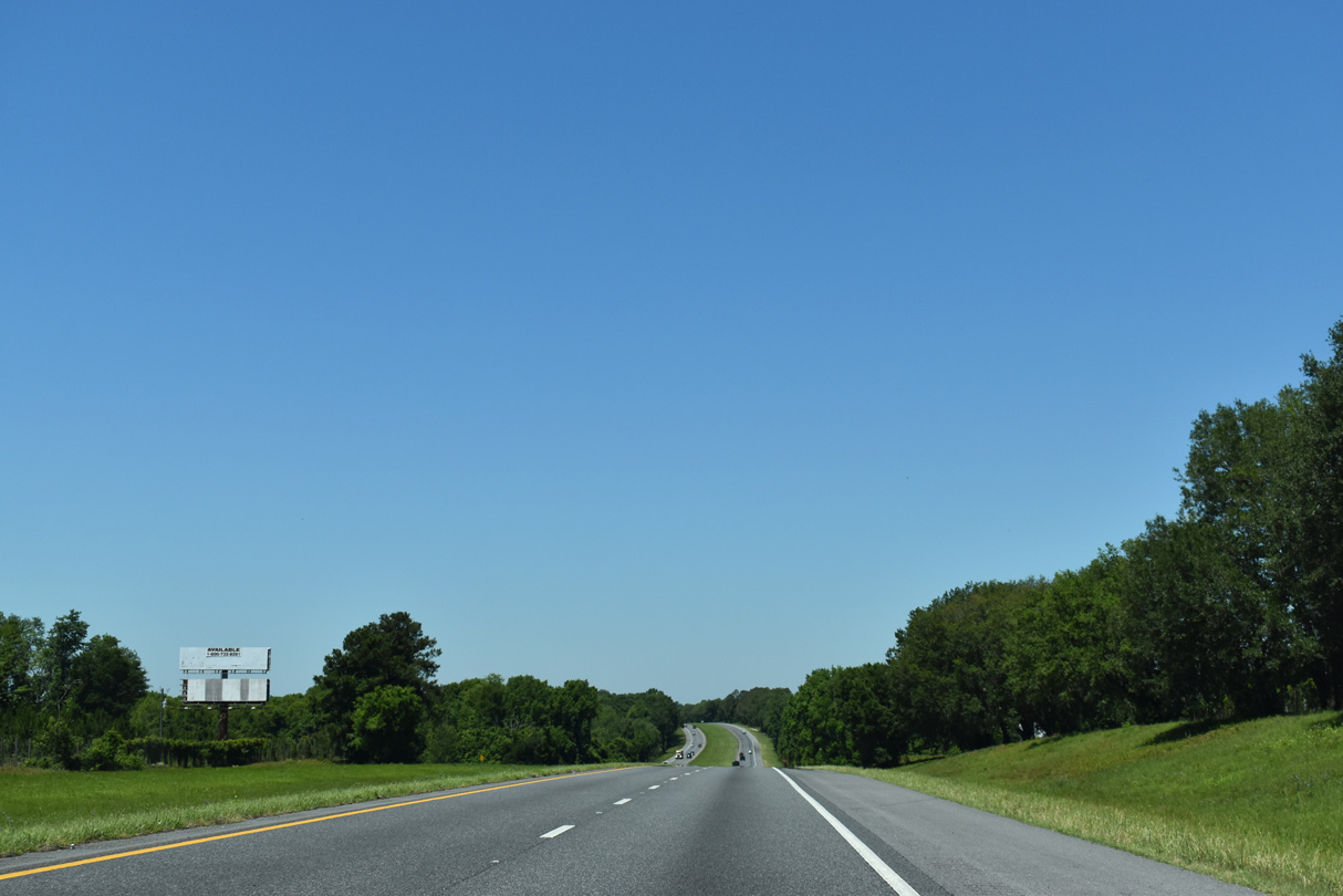
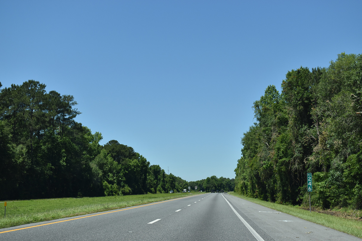
| A nine mile long exit less stretch ensues west from SR 14 to a diamond interchange (Exit 241) with U.S. 221. 05/02/20 |
|
| Interstate 10 traverses the southern periphery of Hixtown Swamp over the next several miles. U.S. 90 skims northern reaches of the swamp to Greenville. 05/02/20 |
|
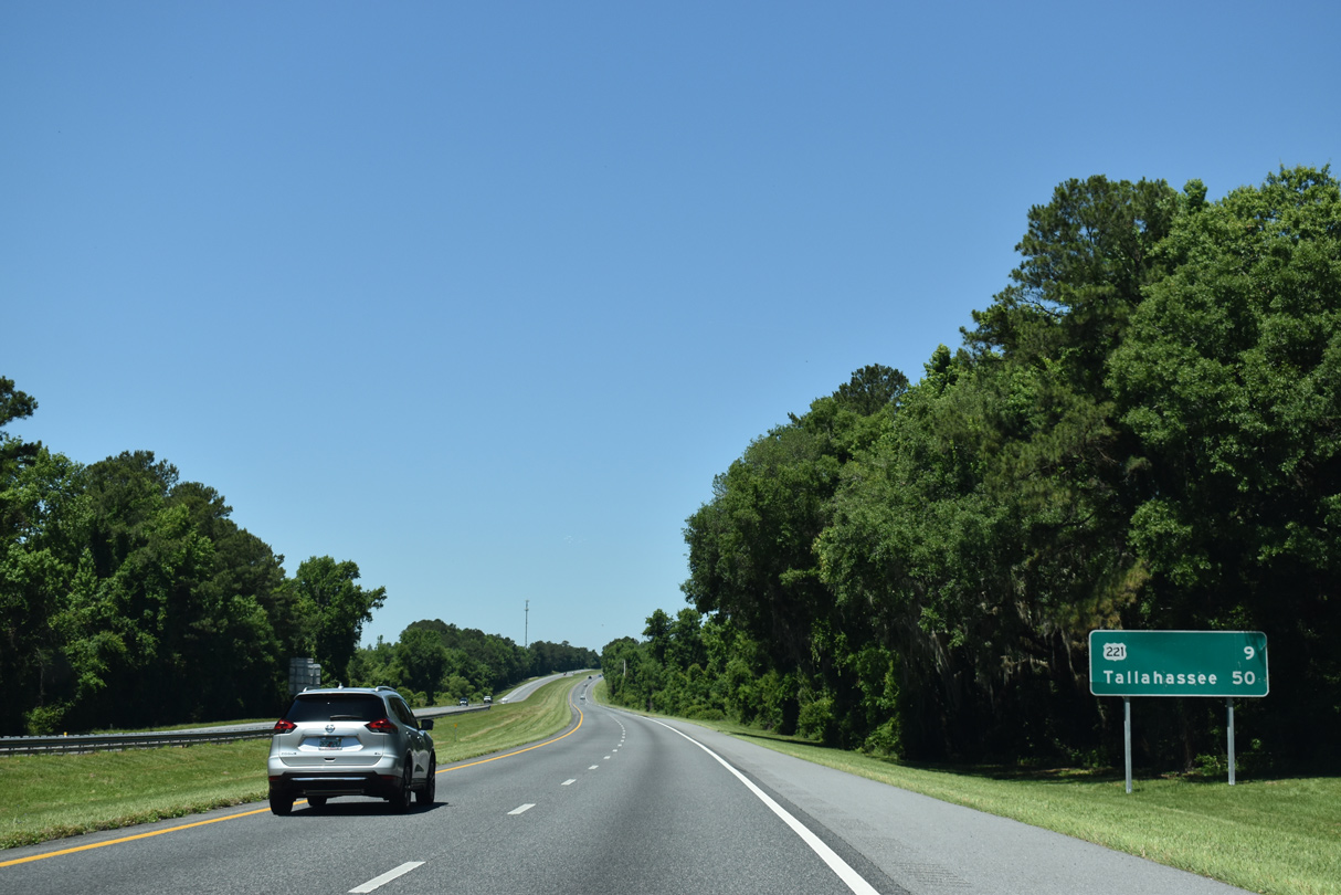
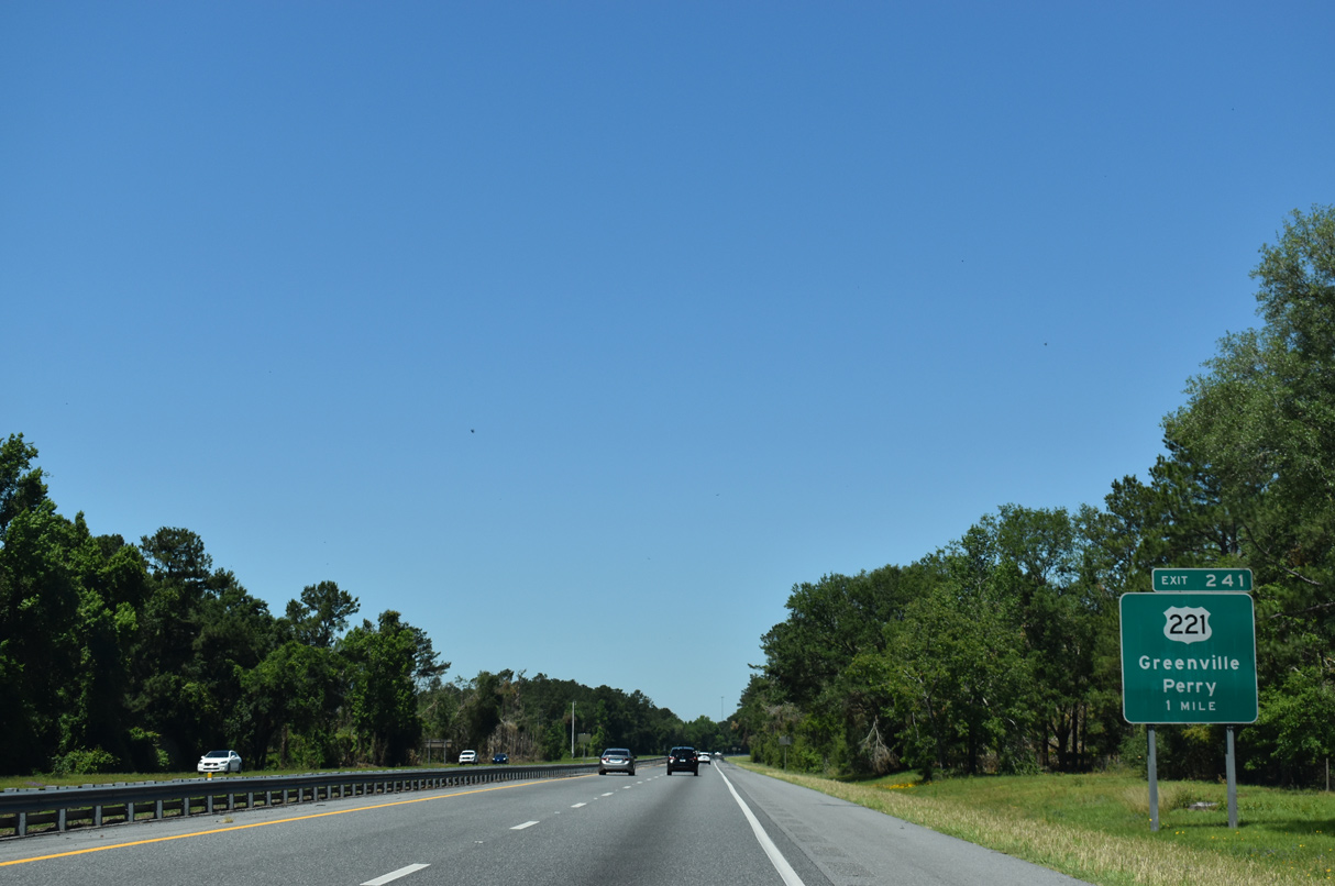
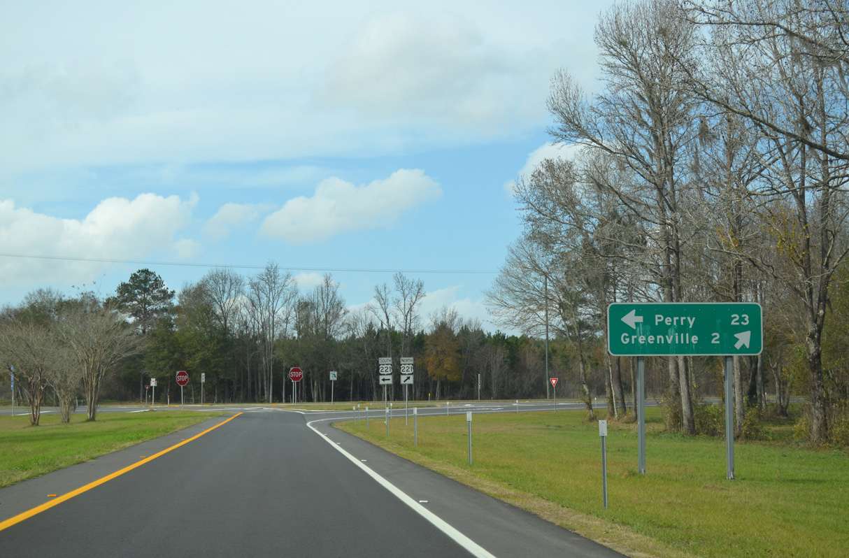
| U.S. 221 travels 2.5 miles north from Exit 241 into the town of Greenville, and 19.5 miles from there to Quitman, Georgia. U.S. 90/221 overlap for 0.311 miles in Greenville. 05/02/20 |
|
| Exit 241 departs I-10 west. U.S. 221 passes through the communities of Shady Grove and Lake Bird en route to Perry. 05/02/20 |
|
| Perry lies 23 miles to the south along U.S. 221 and Jefferson Street. U.S. 221 was realigned in 2019 to bypass Downtown Perry, but still ends at the intersection of Jefferson Street and U.S. 19/98/27 Alternate (Byron Butler Parkway). 01/16/16 |
|
| Westbound I-10 shield posted ahead of the CR 150 and Norfolk Southern Railroad under crossing south of Greenville. 05/02/20 |
|
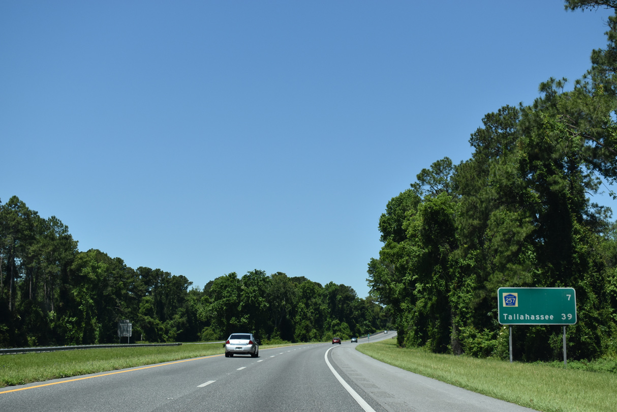
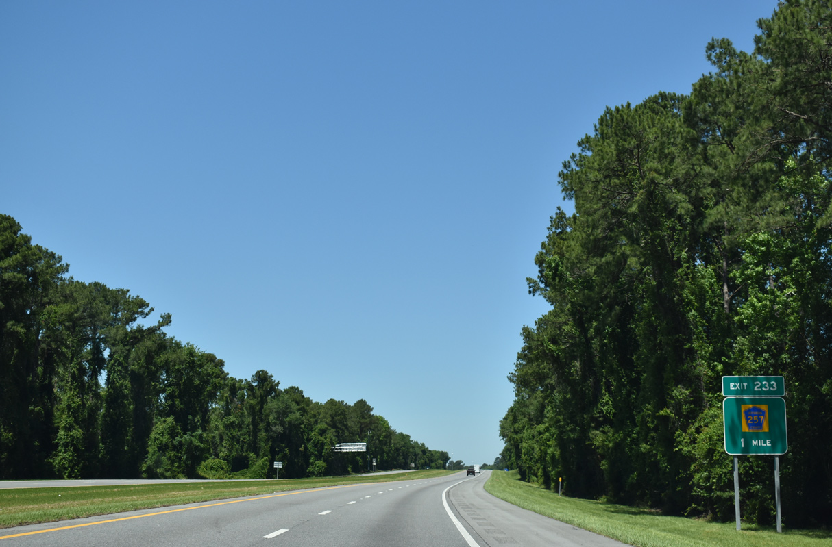
| 39 miles east of Tallahassee, Interstate 10 next meets Jefferson County Road 257 at a diamond interchange (Exit 233). 05/02/20 |
|
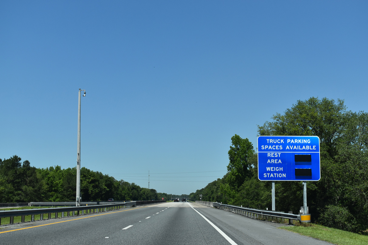
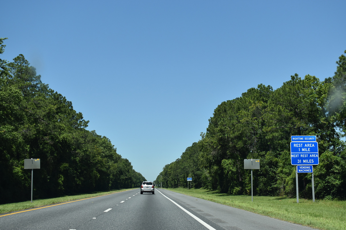
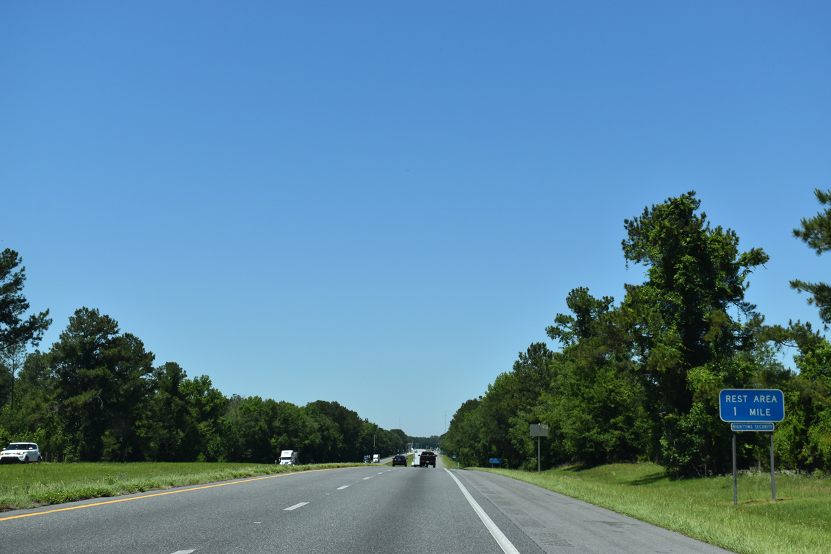
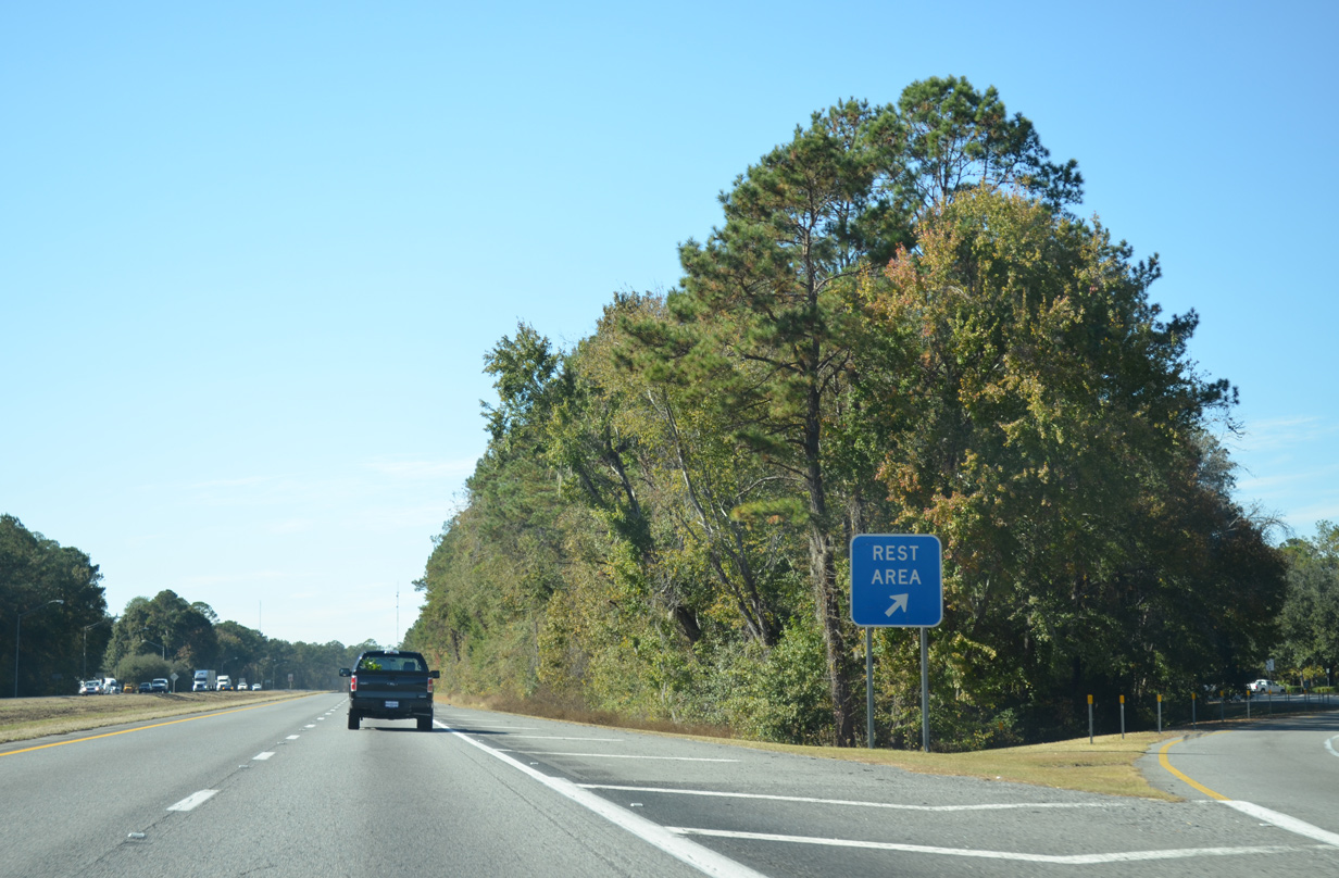
| The fourth rest area along Interstate 10 west lies just across the Aucilla River. 05/02/20 |
|
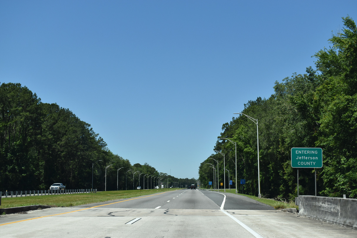
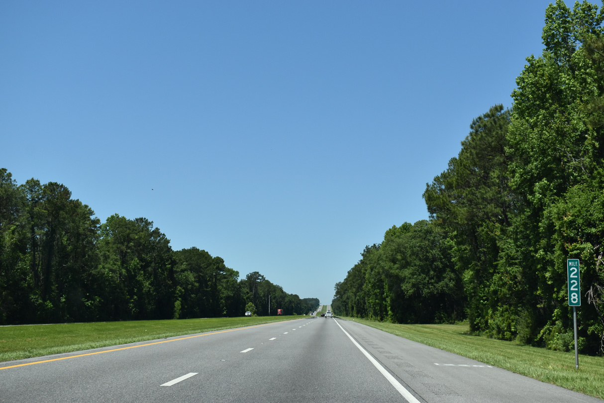
| Spanning the Aucilla River, Interstate 10 leaves the 32.99 mile stretch through Madison County for a 19.49 mile segment through Jefferson County. 05/02/20 |
|
| Rest areas line both directions of I-10 between the Aucilla River and Wolf Creek. 11/20/14 |
|
| County Road 257 (S Salt Road) angles 6.5 miles southwest from Exit 233 to U.S. 19/27 (Florida-Georgia Parkway) at Lamont. 05/02/20 |
|
| County Road 257 continues 3.5 miles north from Exit 233 through Aucilla to U.S. 90. 05/02/20 |
|
| Interstate 10 crosses Gress Swamp on the six mile drive to U.S. 19 near Drifton. 05/02/20 |
|
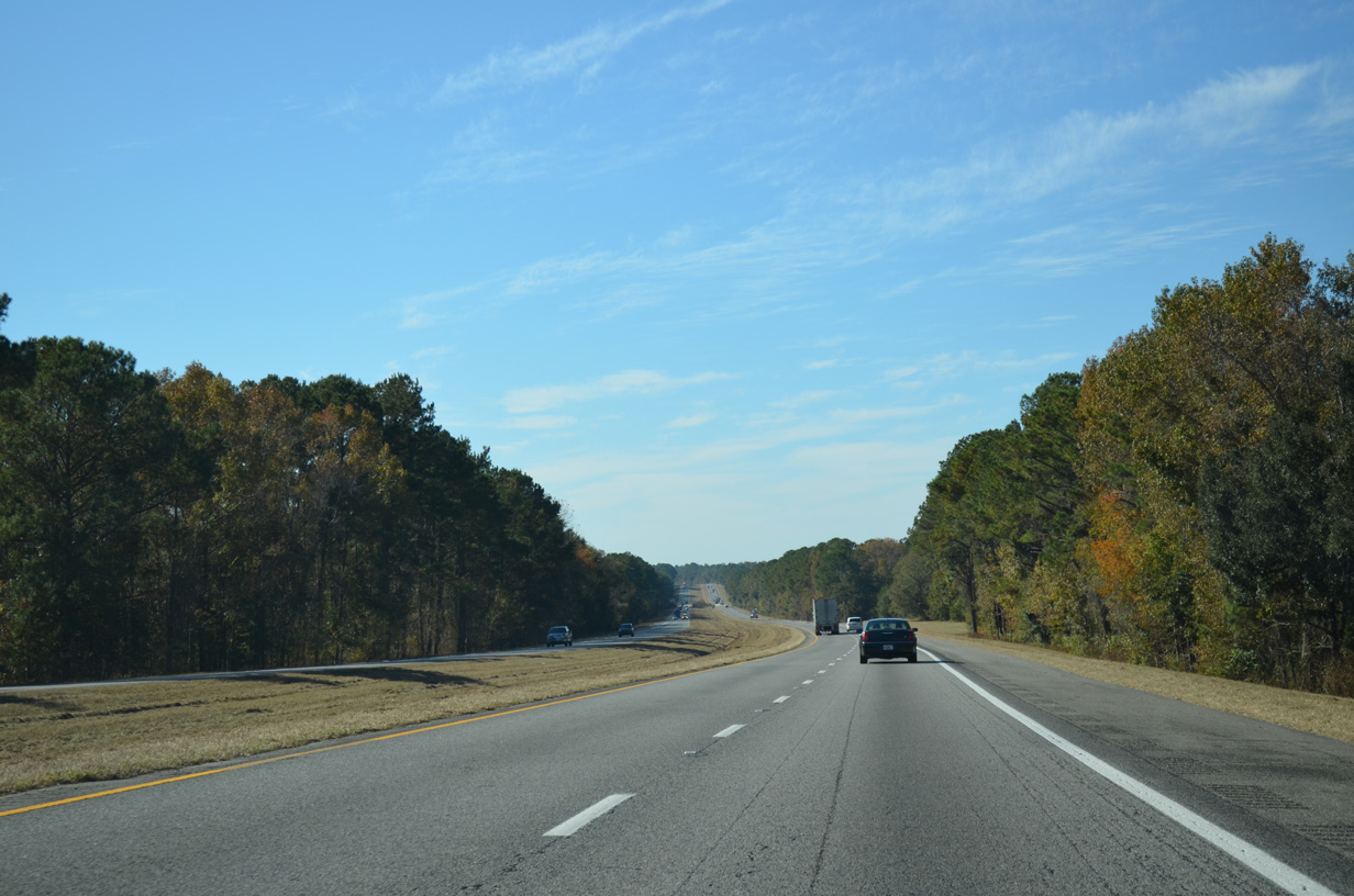
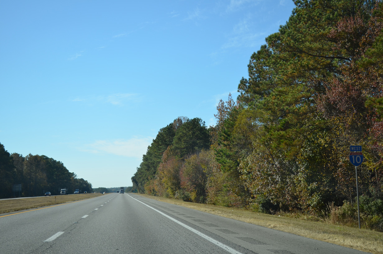
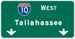
| Downtown Tallahassee is 30 miles to the west. 05/02/20 |
|
| Interstate 10 rises from around 80 feet above sea level at Buggs Creek to 220 feet on a bluff west of an abandoned Seaboard Coast Line railroad. 05/02/20 |
|
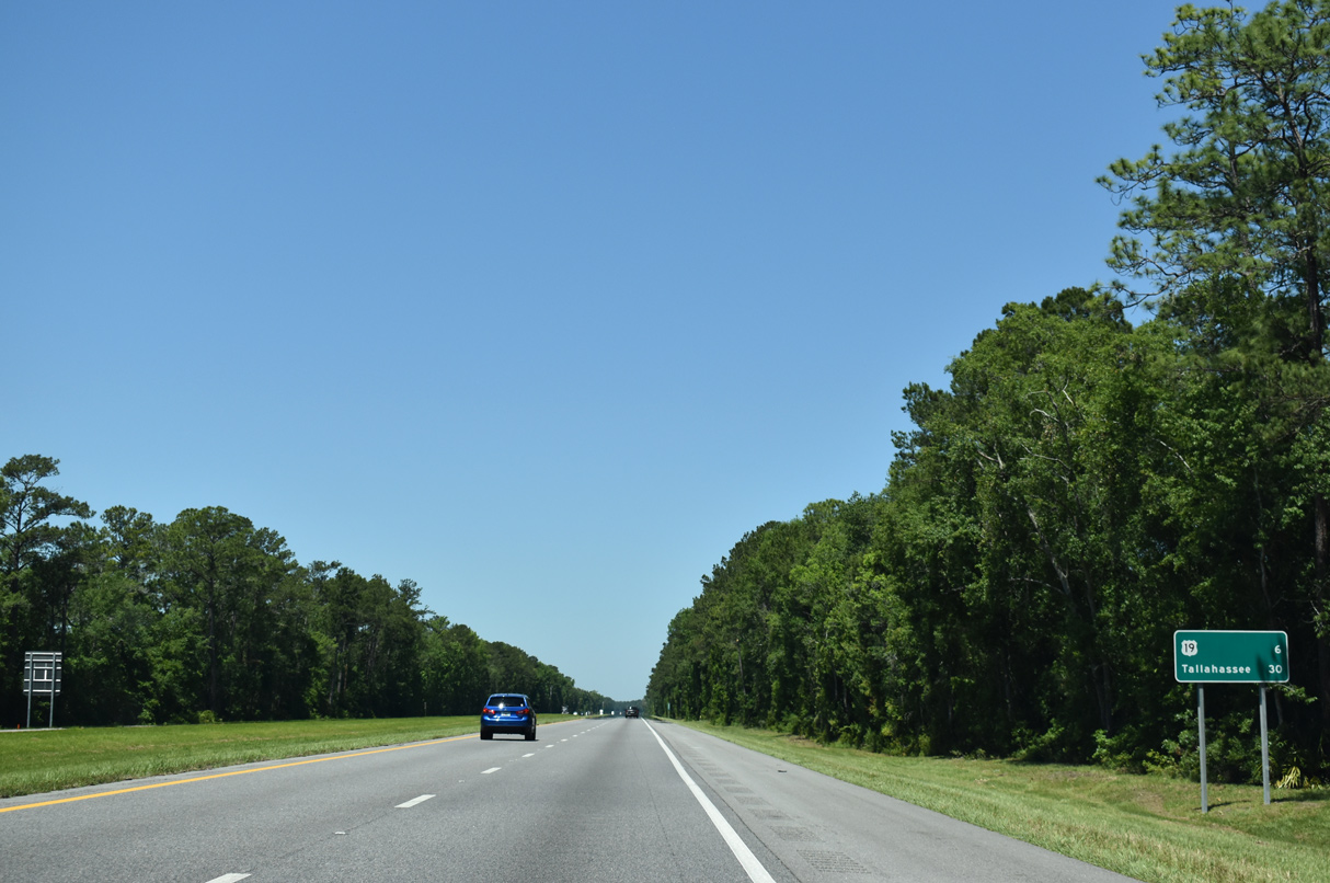
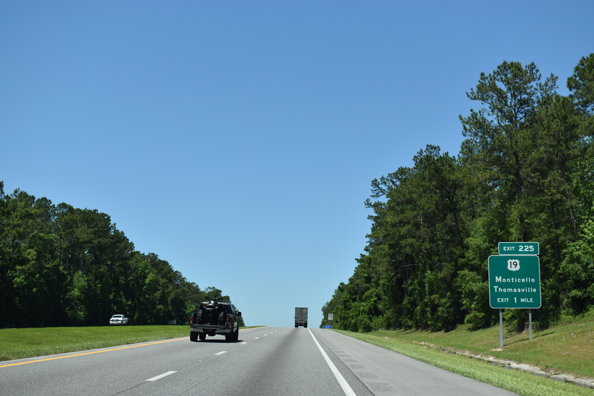
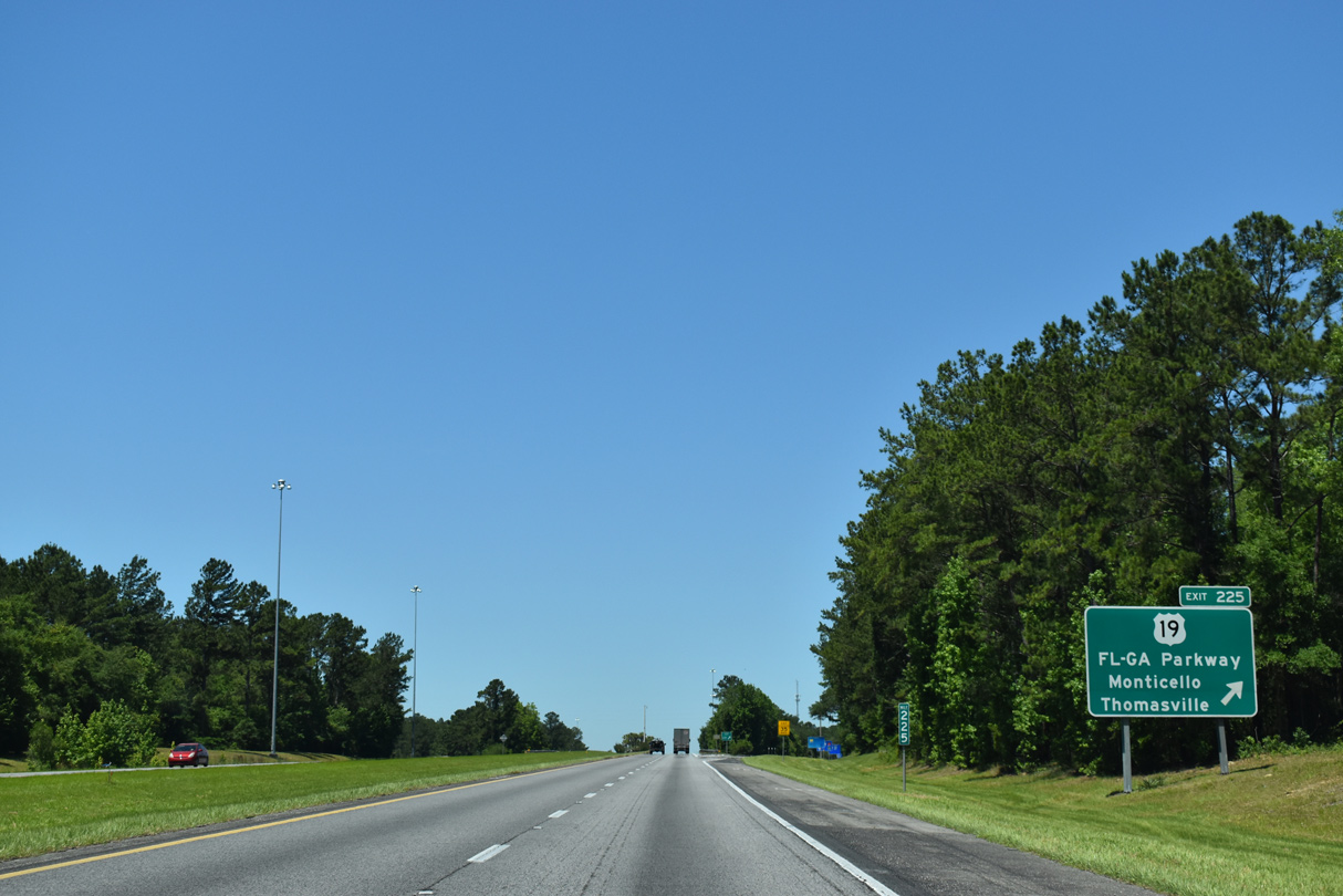
| A diamond interchange joins I-10 with U.S. 19 (Florida-Georgia Parkway) at Exit 225. U.S. 19 meets U.S. 90 in Downtown Monticello, three miles to the north. Southward U.S. 19 combines with U.S. 27 in 4.7 miles at Capps. 05/02/20 |
|
| Florida-Georgia Parkway comprises a four lane highway northward to Thomasville, Georgia (except through Monticello) and southward to Capps. U.S. 19 is part of a longer four lane corridor leading south to Perry, Crystal River and Clearwater and north to Albany, Georgia. 05/02/20 |
|
| Interstate 10 west traverses a series of low rolling hills toward the last Jefferson County exit. The freeway peaks at 205 feet above sea level on this stretch. 05/02/20 |
|
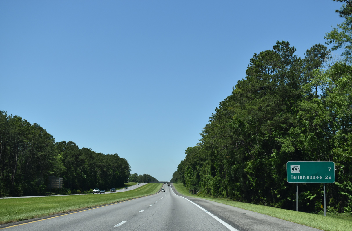
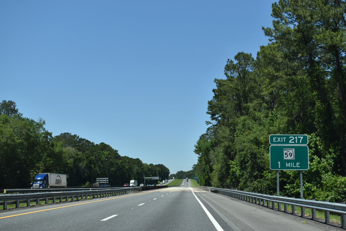
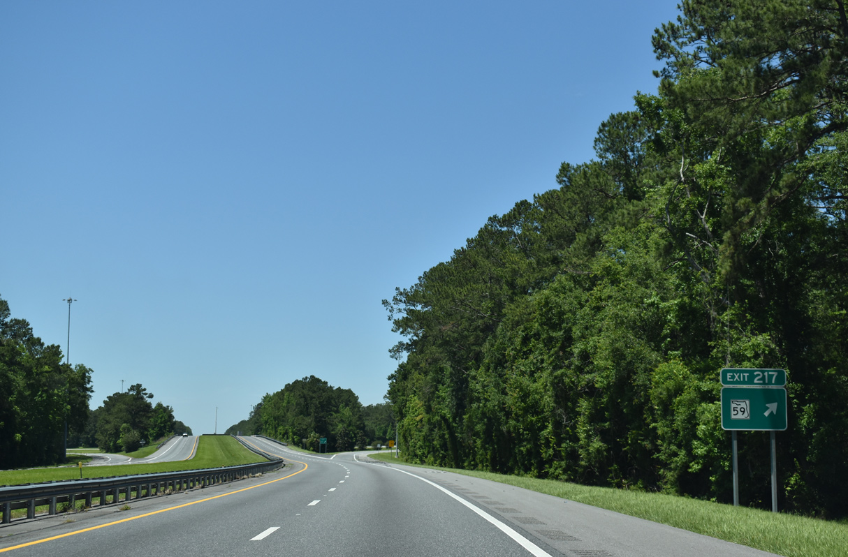
| A diamond interchange (Exit 217) joins Interstate 10 with SR 59 near Lloyd in seven miles. 05/02/20 |
|
| An S-curve takes Interstate 10 northward across a CSX Railroad Line. 11/20/14 |
|
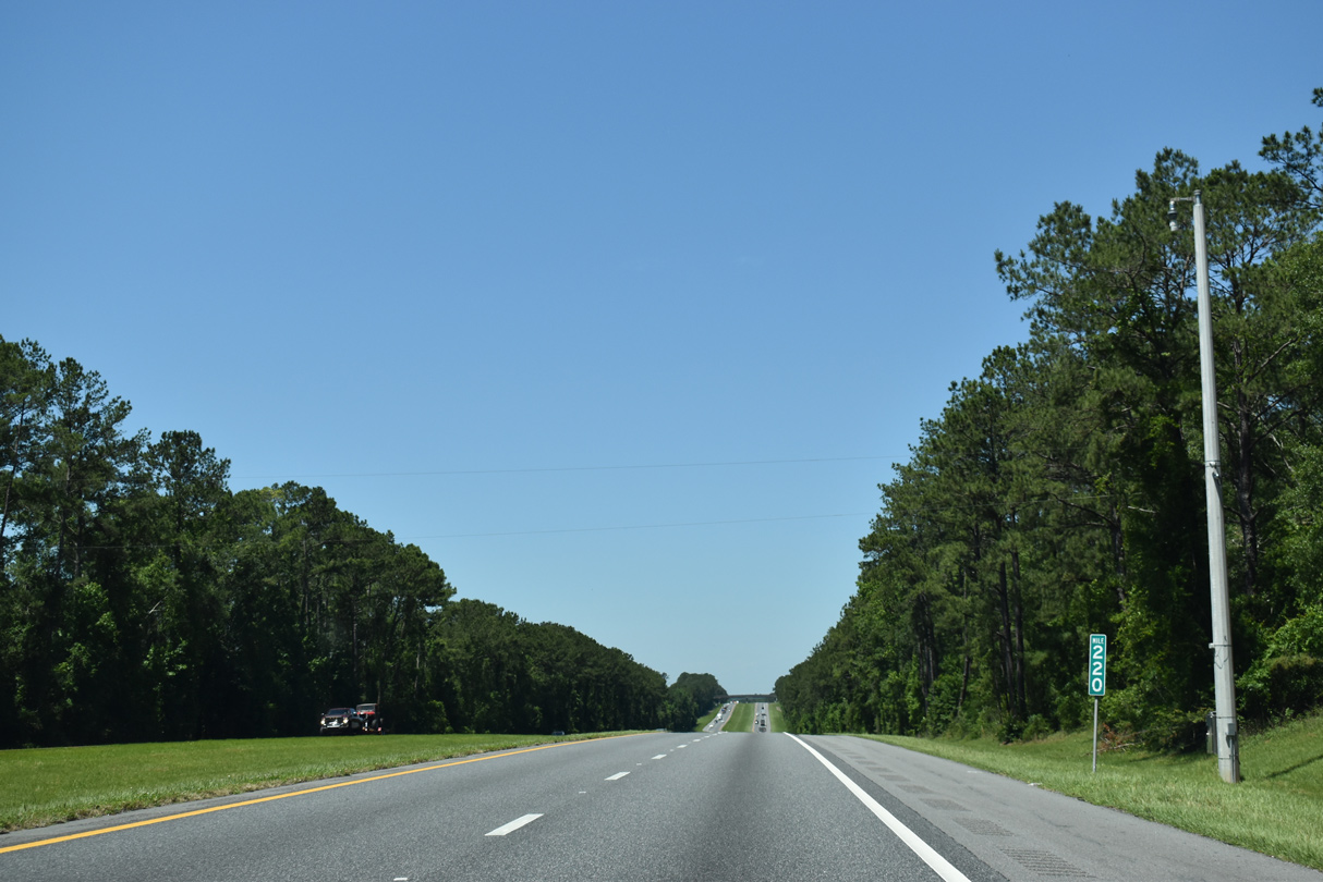
| CR 158 (Old Lloyd Road) passes over Interstate 10 west beyond mile marker 220. CR 158 continues west to SR 59 at Lloyd and as CR 1540 to Capitola. 05/02/20 |
|
| Crossing Lloyd Creek, one mile east of Exit 217 to SR 59 (Gamble Road). SR 59 leads north 24 miles from U.S. 98 through Wacissa to Interstate 10. 05/02/20 |
|
| SR 59 continues 2.5 miles north from Exit 217 to U.S. 90 (Monticello Highway) in eastern Leon County at CR 142 (Old Magnolia Road). A branch of CR 59 stems west from U.S. 90 nearby to Concord and Miccosukee. 05/02/20 |
|
| SR 59 enters the unincorporated community of Lloyd just south of Exit 217. Overall State Road 59 travels 25.92 miles. 05/02/20 |
|
| Interstate 10 leaves Jefferson County just after Exit 217 for a 22.20 mile section across Leon County. 11/20/14, 06/04/17 |
Page Updated 11-30-2020.

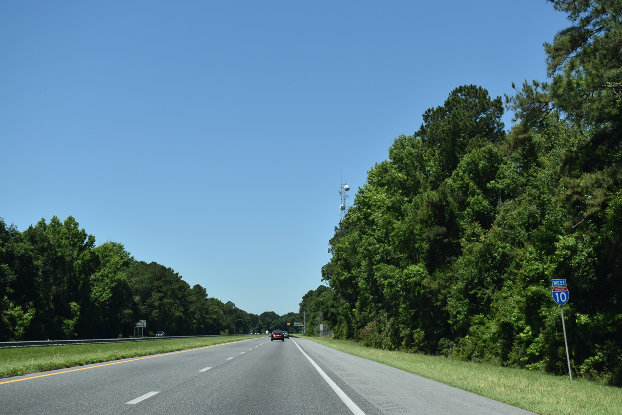
 West
West