|
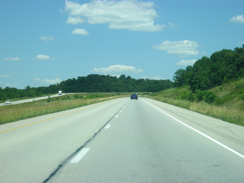
| East of Exit 72, the next interchange is with SR 37 in five miles. A closer examination of the sign shows that the missing space in the middle was for SR 37 north (now SR 237) at Exit 86, while the first space was for SR 37 south. With the opening of the Frank O'Bannon Highway, SR 37 now continues north from Exit 79. 06/07/12 |
|
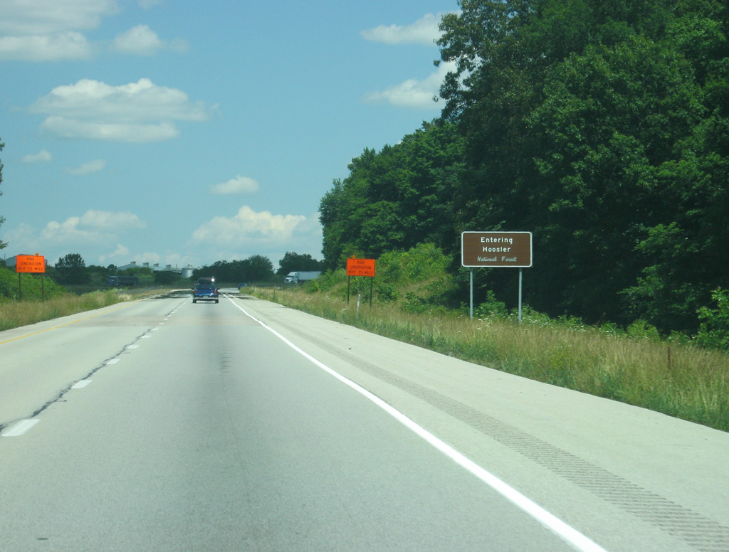
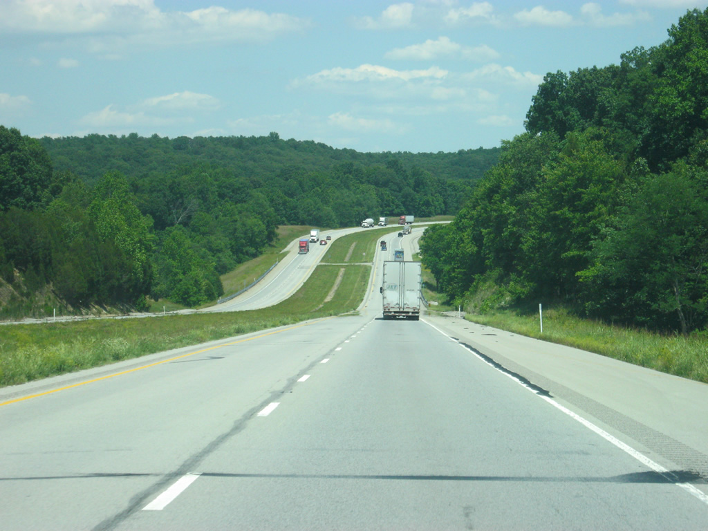
| Interstate 64 enters the Hoosier National Forest to the east of Exit 72. 06/07/12 |
|
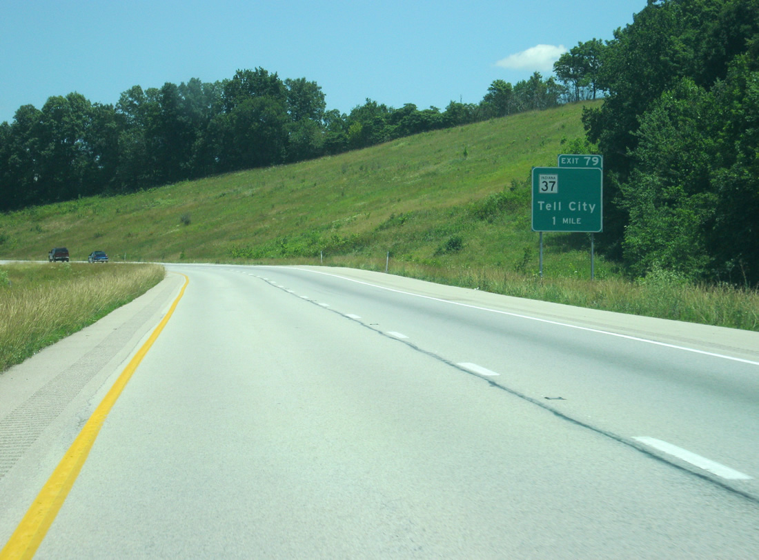
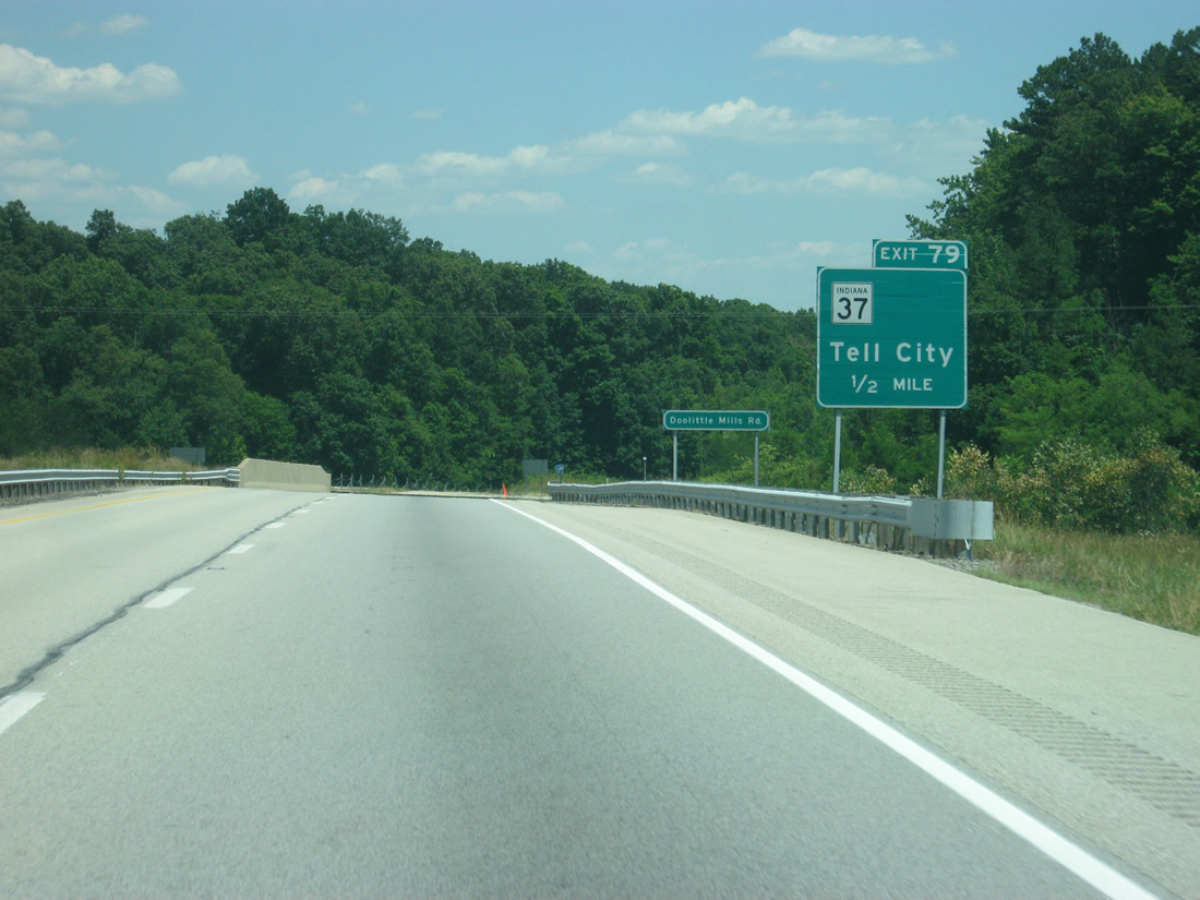
| Interstate 64 advances one mile east to a diamond interchange (Exit 79) with SRa 37. The blank space to the right used to indicate that SR 37 only traveled south from this interchange, with SR 87 north continuing east along I-64 to Exit 79. 06/07/12 |
|
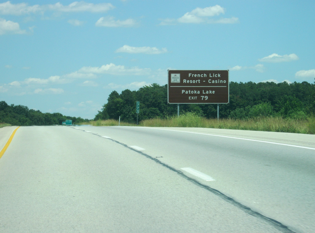
| SR 37 follows the O'Bannon Highway northward to merge with SR 64 east. SR 64 west to nearby SR 145 north carries travelers to Patoka Lake, French Lick Resort / Casino and SR 56. 06/07/12 |
|
| SR 37 is primarily rural through extreme southern Indiana, but an important regional corridor leading north from Bedford to Bloomington and Indianapolis. Traveling 214.2 miles, the state road ends at Tell City (junction SR 66) to the south and Marion to the north. A second section of SR 37 exists in the Fort Wayne area. 06/07/12 |
|
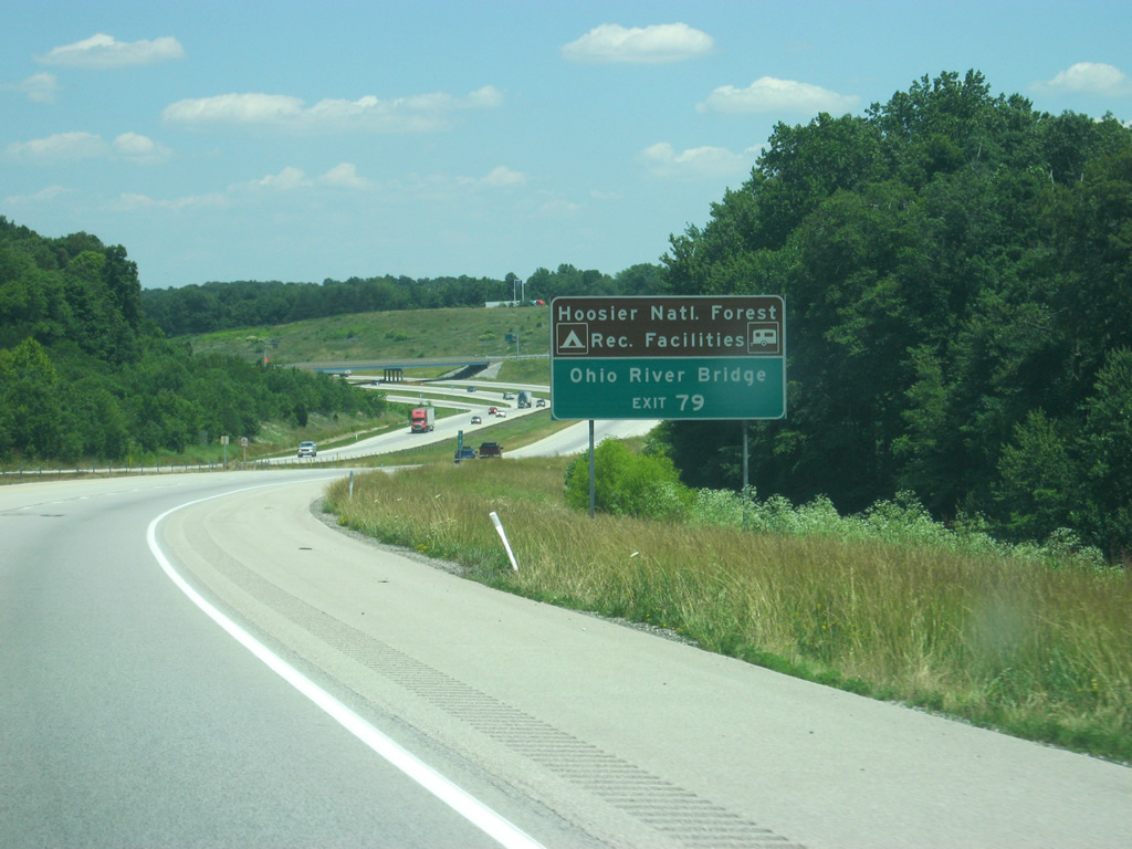
| Connections of SR 37 south to the south section of SR 237 lead drivers to Cannelton and the Ohio River Bridge to Hawesville, Kentucky. Several recreational areas within the Hoosier National Forest can be reached via SR 37 to the south. 06/07/12 |
|
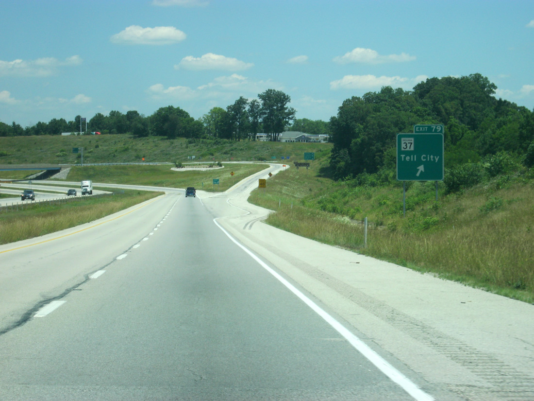
| Eastbound Interstate 64 at the Exit 79 ramp departure to SR 37. SR 37 intersects SR 62 / old U.S. 460 in nearby St. Croix, where the routes used to combine eastward to Sulphur. The Frank O'Bannon Highway was constructed from Exit 79 northward in 2007. 06/07/12 |
|
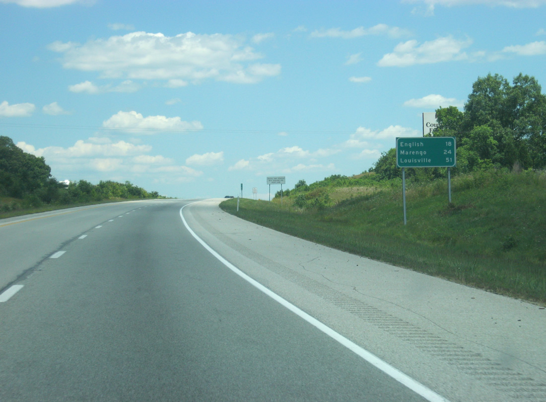
| English is 18 miles away and Marengo is 24 miles off. Louisville is only 51 miles away. 06/07/12 |
|
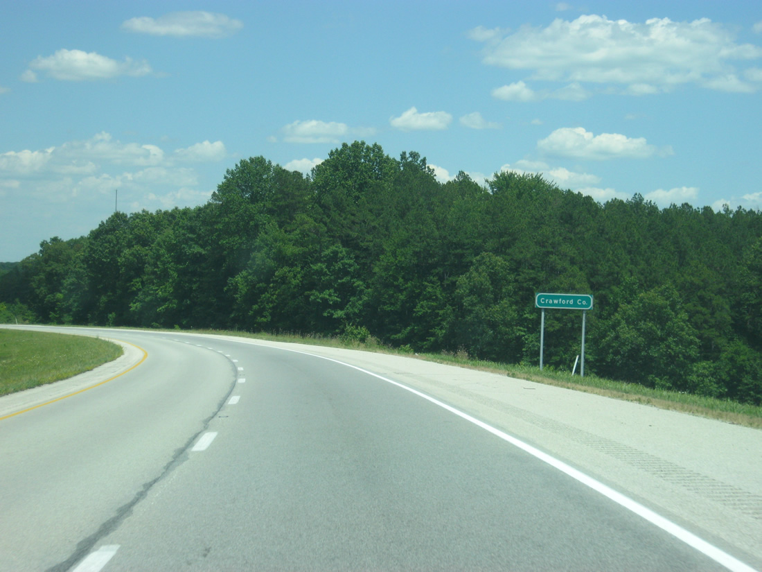
| East of Exit 79, Interstate 64 enters Crawford County and enters the Eastern Time Zone for good. 06/07/12 |
|
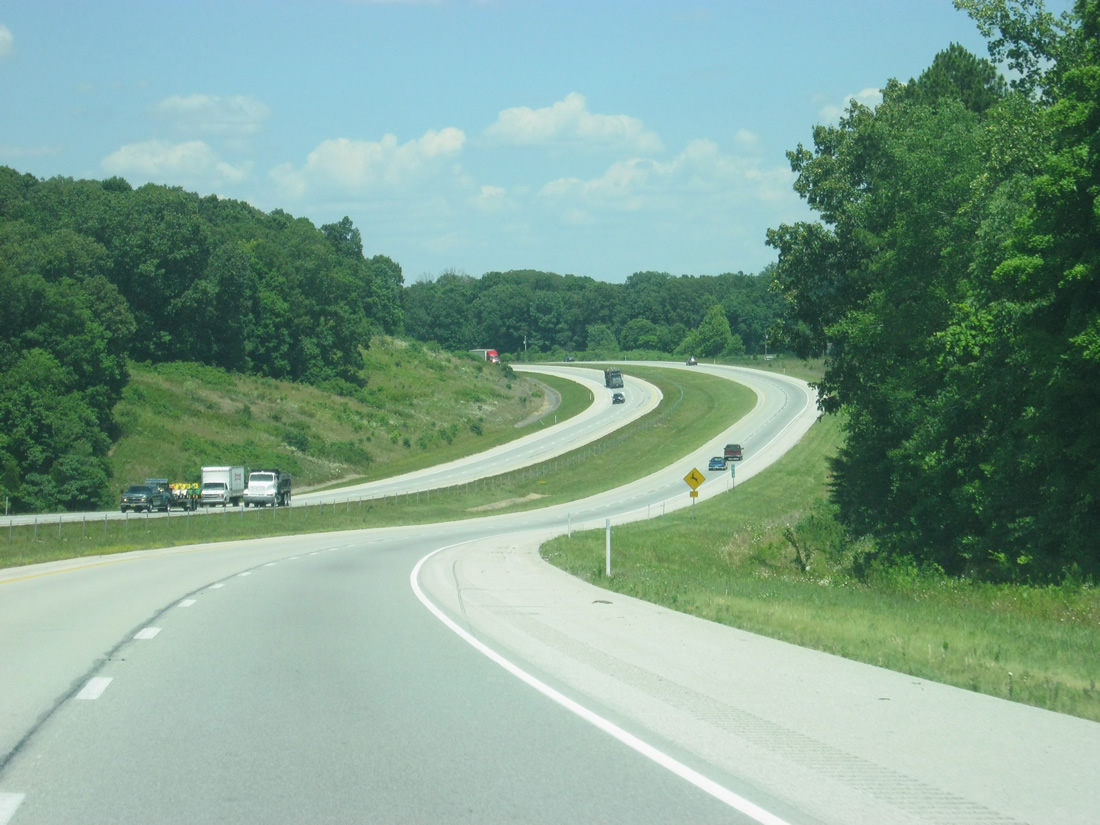
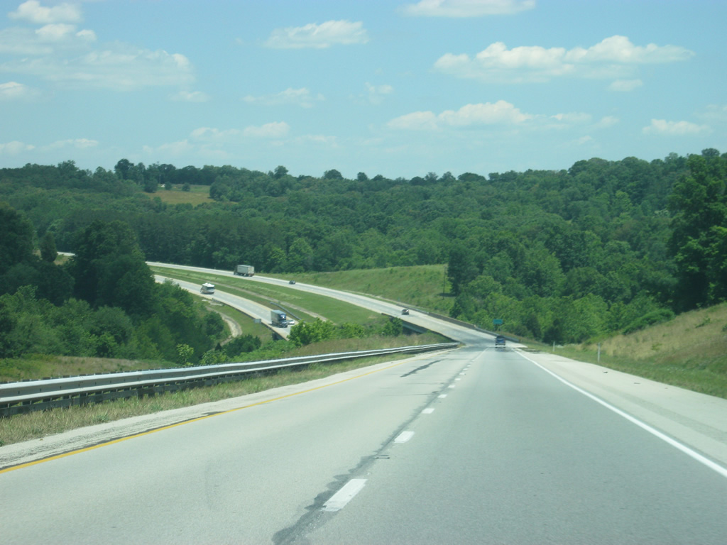
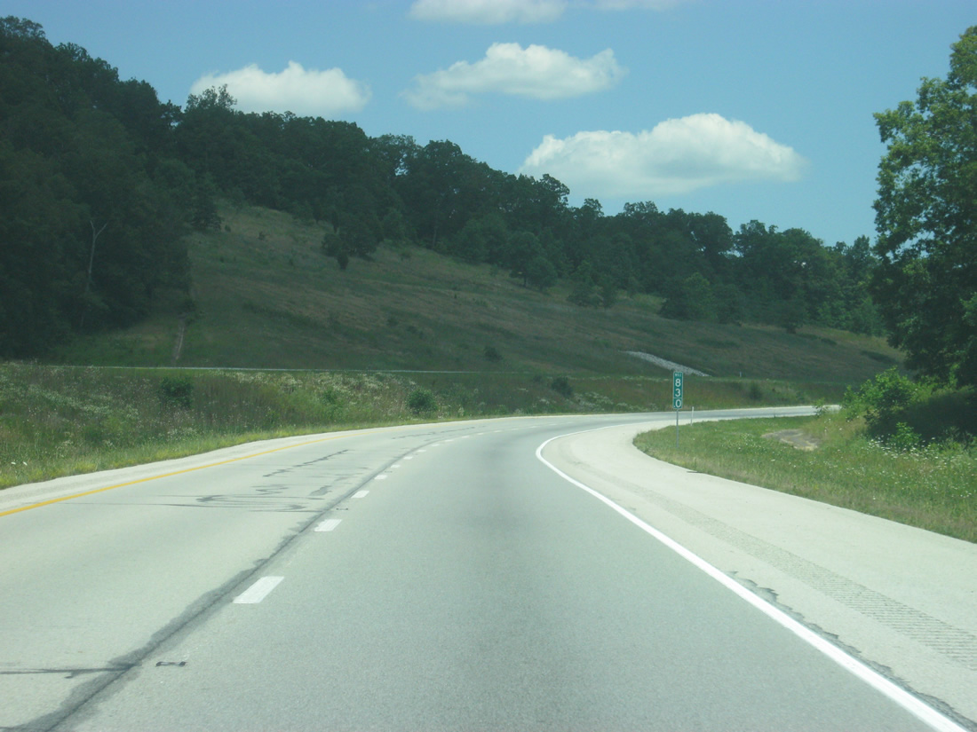
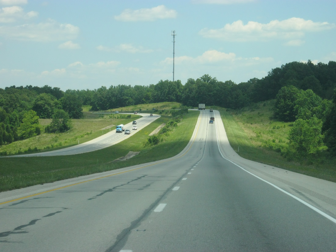
| Lightly traveled Interstate 64 rises and falls as it winds along the south side of McKensie Ridge near the SR 62 / old U.S. 460 settlement of West Fork. This stretch of freeway was built in 1973. 06/07/12 |
|
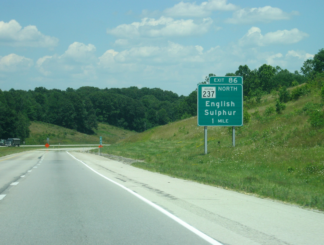
| SR 237 begins at Exit 86 and leads north 10.5 miles to SR 37 and 64 at English. 06/07/12 |
|
| SR 237 was signed over a portion of SR 37 in 2007 when SR 37 was relocated from English and Sulphur westward to the new alignment leading south from SR 64 near Eckerty to Exit 79 and St. Croix. 06/07/12 |
|
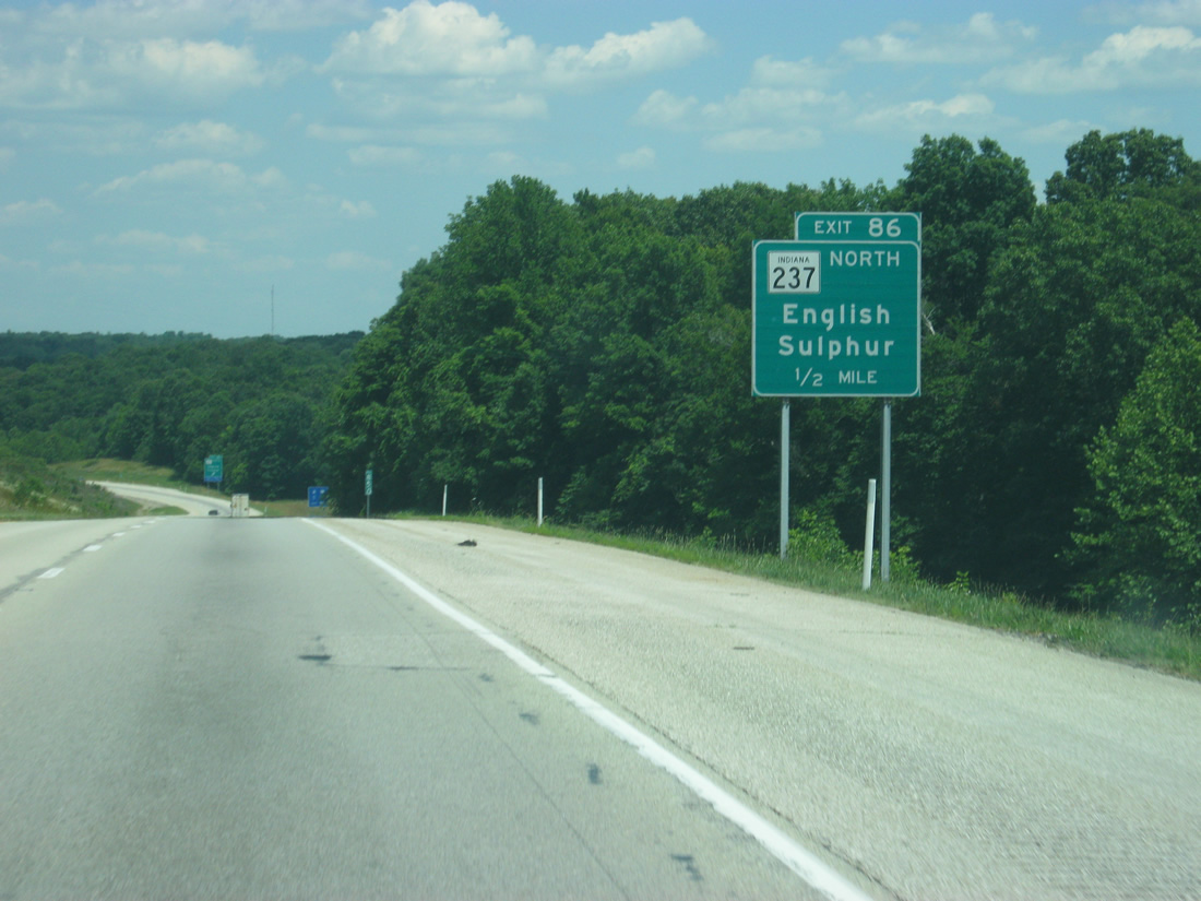
| Interstate 64 comes up to the Exit 86 diamond interchange with SR 237 north. Main Street (old SR 37) continues south from Exit 86 to the split of SR 62 (former U.S. 460) west and 66 south at Sulphur. 06/07/12 |
|
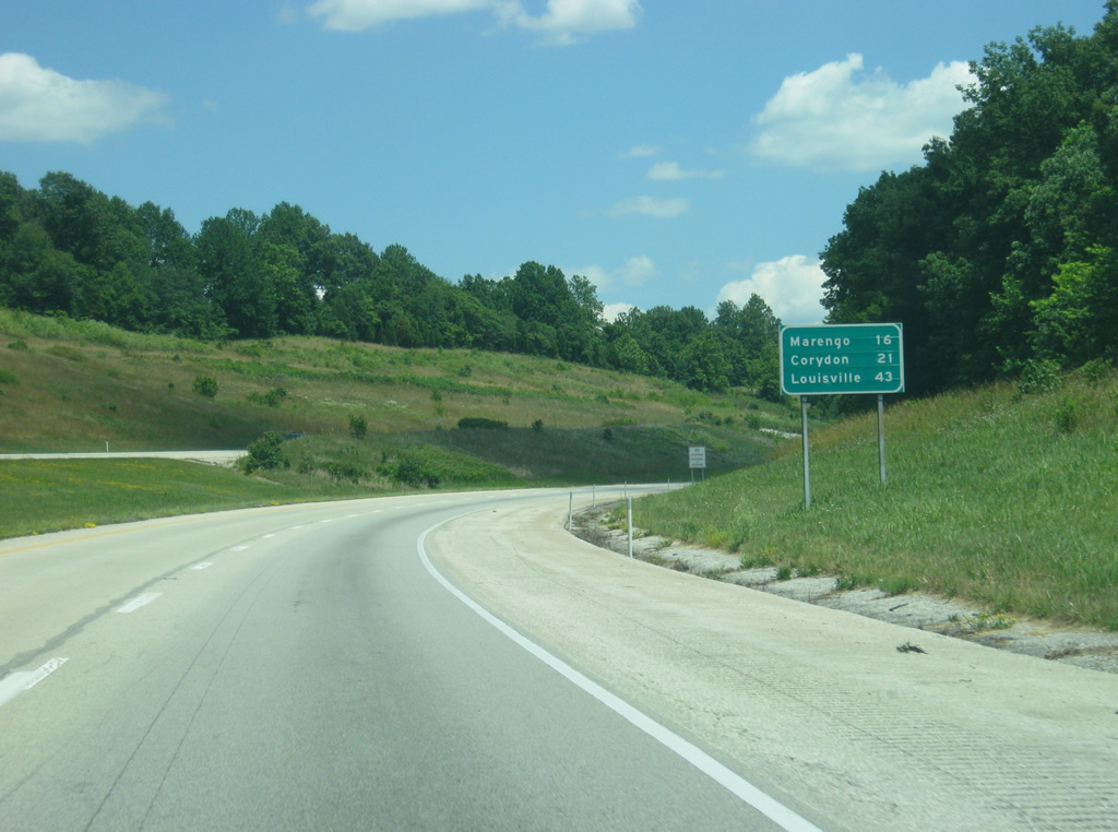
| Marengo is now 16 miles away. The Harrison County seat of Corydon appears for the first time at 21 miles with Louisville at 43 miles. 06/07/12 |
|
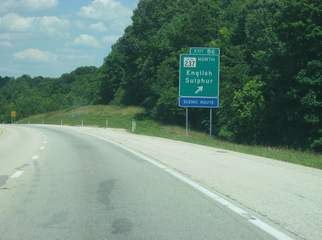
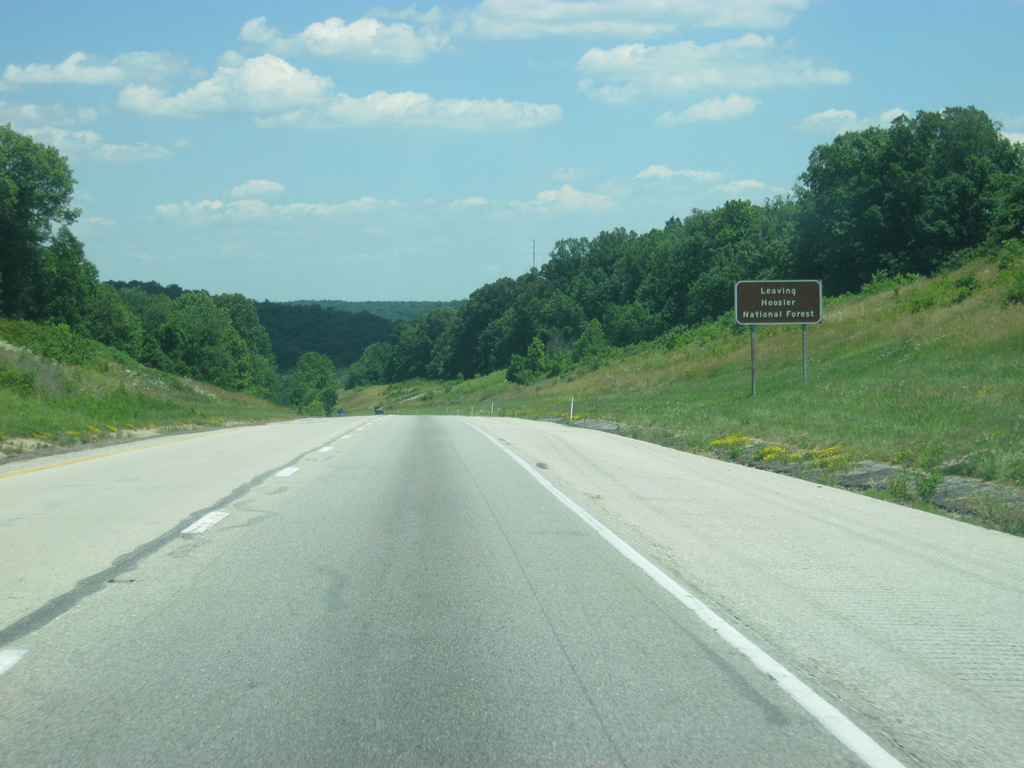
| East of Exit 86, Interstate 64 leaves the Hoosier National Forest. Despite that, the highway continues to wind its way through the scenic hills of Crawford County. 06/07/12 |
|
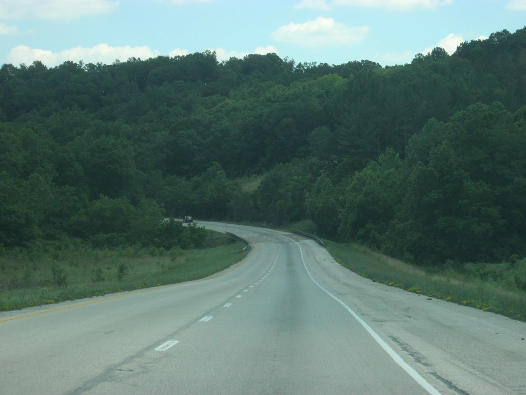
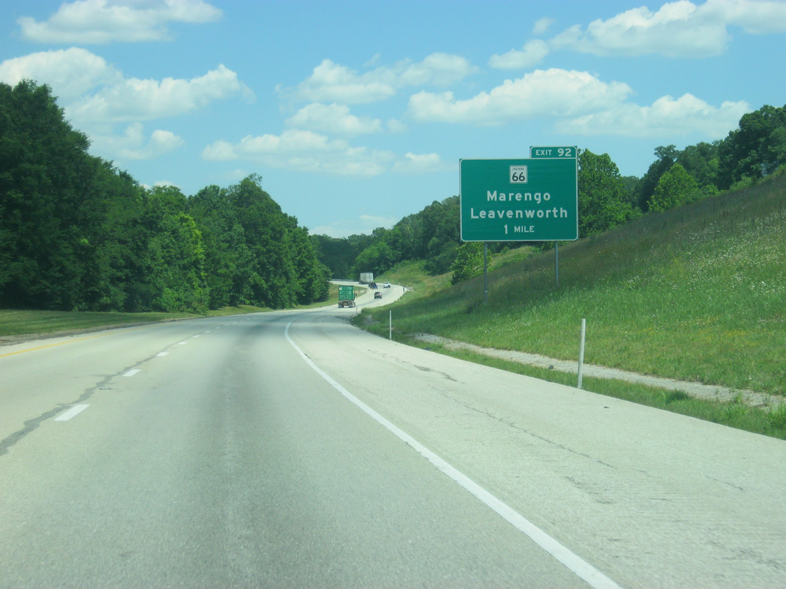
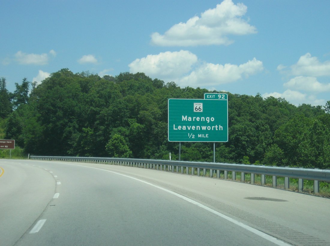
| Eastbound drivers next meet SR 66 at a diamond interchange (Exit 92) in one mile. 06/07/12 |
|
| State Road 66 travels in an arc across southern Indiana, beginning at New Harmony to the west and ending at U.S. 150 near Hardinsburg to the east. The 152.5 mile route locally connects Interstate 64 with Leavenworth 2.8 miles to the south and Marengo 9.7 miles to the north. 06/07/12 |
|
| Marengo Cave, a U.S. National Natural Landmark, is reached by taking SR 66 north to the town of Marengo at the junction with SR 64. 06/07/12 |
|
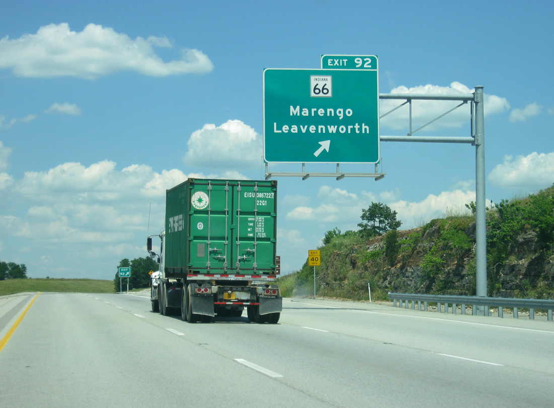
| Exit 92 leaves Interstate 64 east for SR 66. SR 66 combines with SR 62 leading west from Leavenworth to Beechwood and Sulphur. Pilot Knob otherwise lies 2.6 miles north of the freeway. 06/07/12 |
|
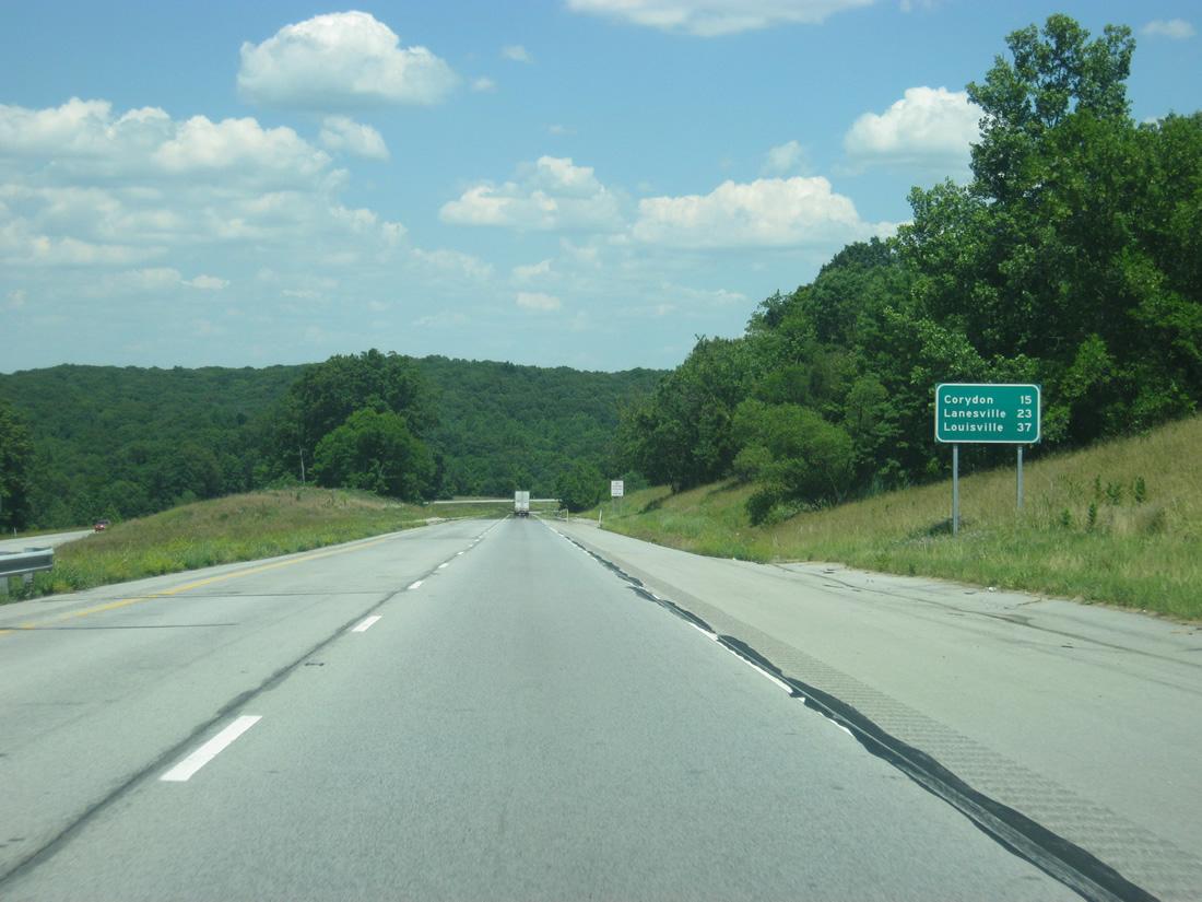
| Corydon is at the next exit in 15 miles. Lanesville, in eastern Harrison County, is 23 miles away with Louisville getting closer at 37 miles. 06/07/12 |
|
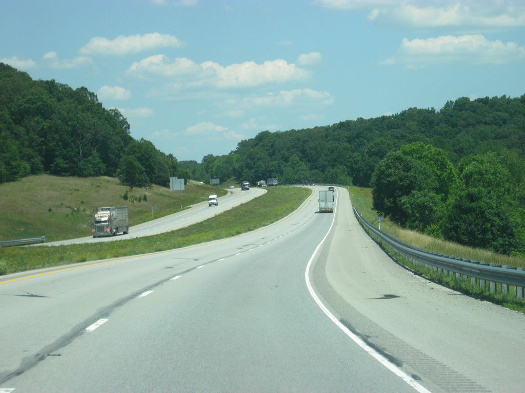
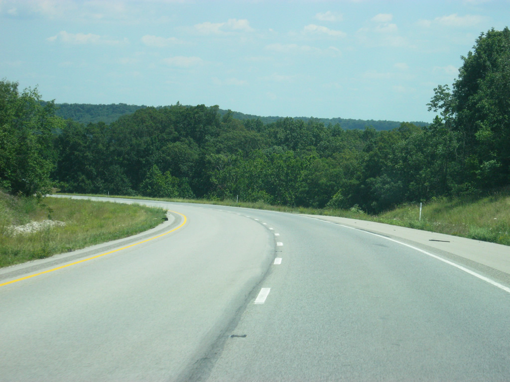
| Additional scenery lines the adjacent landscape of Interstate 64 next to Dry Run through Harrison-Crawford State Forest to the east of Exit 92. 06/07/12 |
|
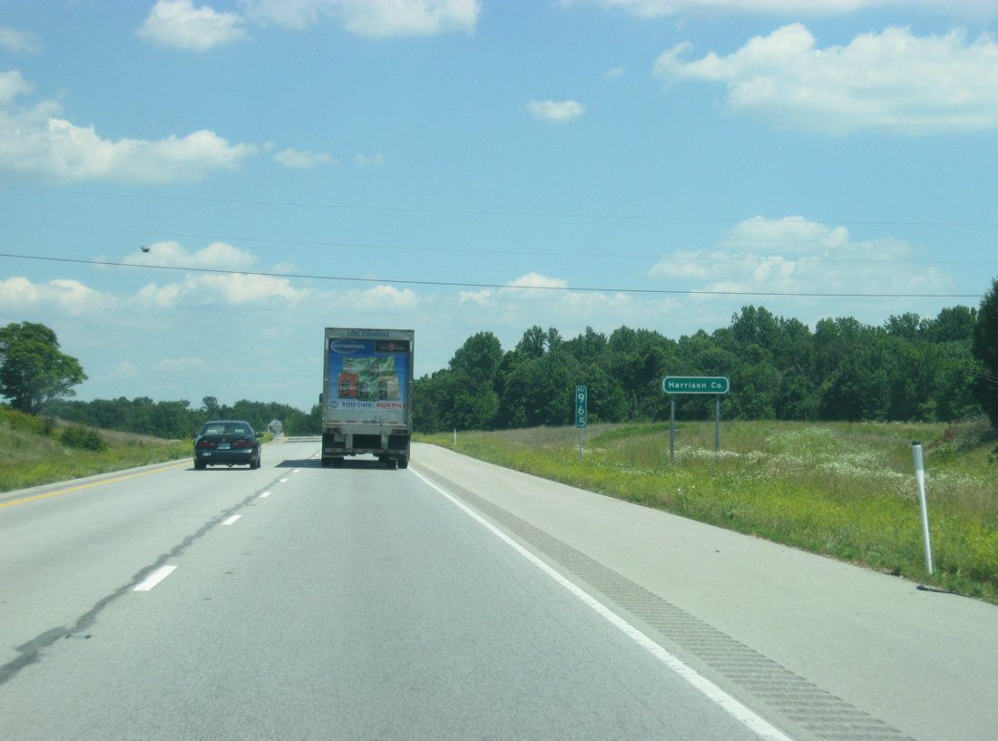
| Interstate 64 enters Harrison County and the Louisville Metropolitan Area. 06/07/12 |
|
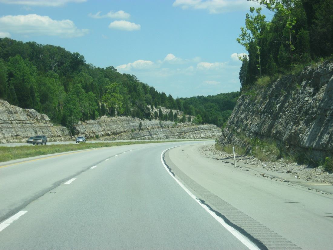
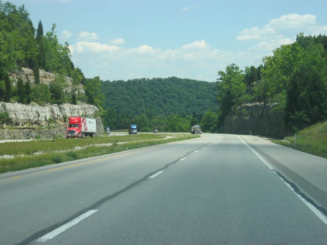
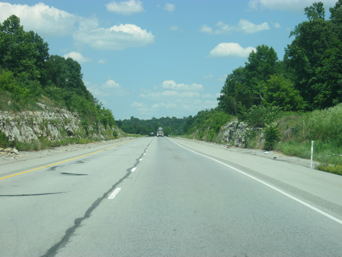
| Interstate 64 saves its best for the Harrison and Floyd County areas as the highway passes through rock cuts and separated roadways en route to the town of Corydon. 06/07/12 |
|
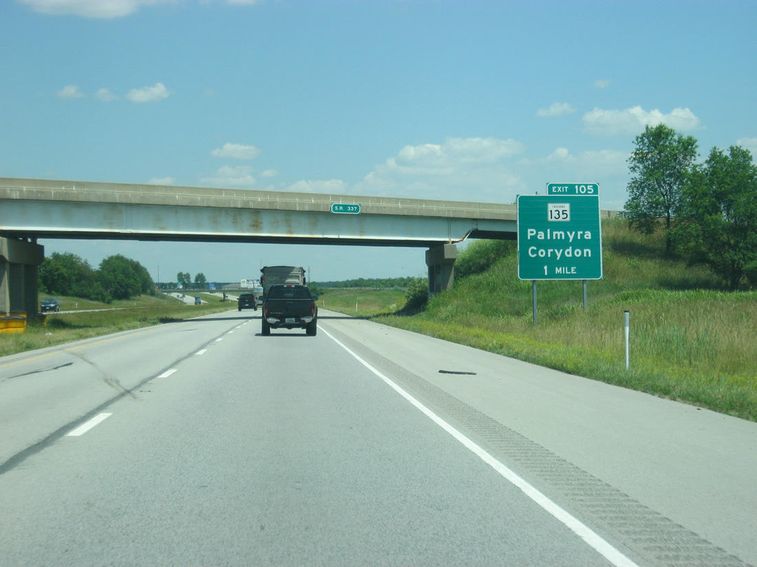
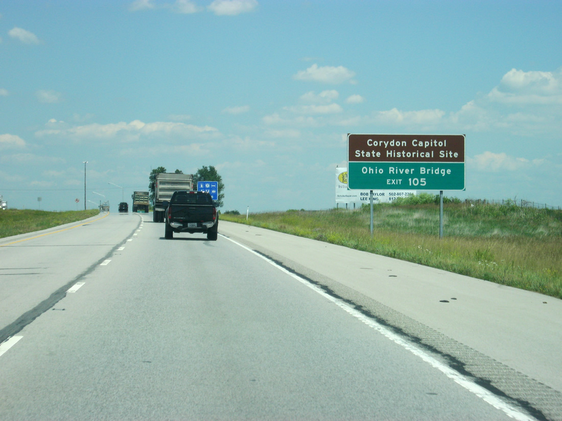
| In one mile, SR 135 crosses paths with Interstate 64 on the north side of Corydon at Exit 105. In the foreground, SR 337 passes over Interstate 64. Corydon has been asking INDOT for an interchange at this location to relieve traffic at the SR 135 interchange, but the fact that the highway crosses paths with the interstate just over a mile from Exit 105 has defeated plans for this so far. 06/07/12 |
|
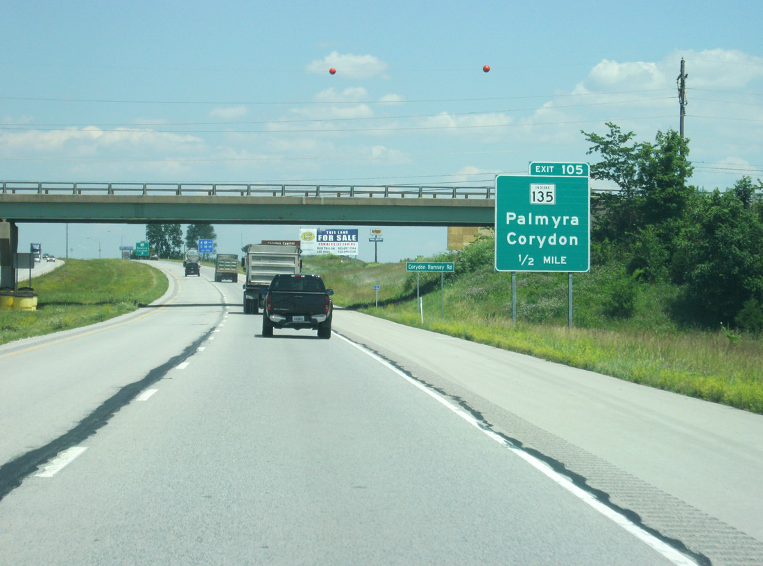
| SR 135 is a lengthy route, running between Interstate 465 on the south side of Indianapolis to the Kentucky state line, via the communities of Nashville, Brownstown and Salem. 06/07/12 |
|
| Corydon was the first state capital of Indiana and contains several historic sites that make up the Corydon Capitol State Historic Site. SR 135 provides the only crossing of the Ohio River between the Bob Cummins-Lincoln Trail Bridge in Cannelton and the Sherman Minton Bridge in New Albany via the Matthew Welsh Bridge between Mauckport and Brandenburg, Kentucky. 06/07/12 |
|
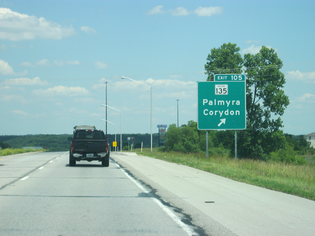
| Exit 105 consists of a folded diamond interchange due to the parallel Louisville, New Albany & Corydon Railroad along both SR 135 and Indian Creek. SR 135 connects Corydon with U.S. 150 at Palmyra, 13.3 miles to the north. Exit 105 contains the most motorist services for eastbound Interstate 64 travelers since Mt. Vernon, Illinois. 06/07/12 |
|
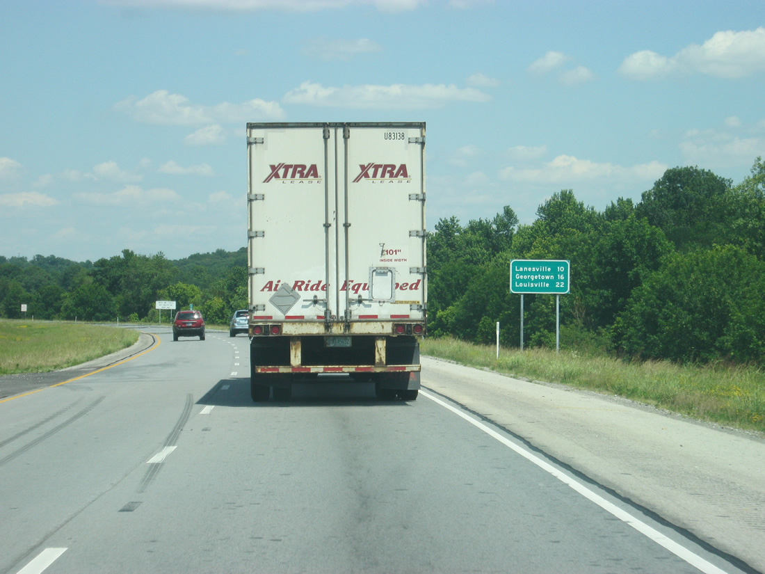
| Interstate 64 gains traffic from the Corydon area as it is now only 22 miles from Downtown Louisville. The communities of Lanesville and Georgetown are 10 and 16 miles away respectively. 06/07/12 |
|
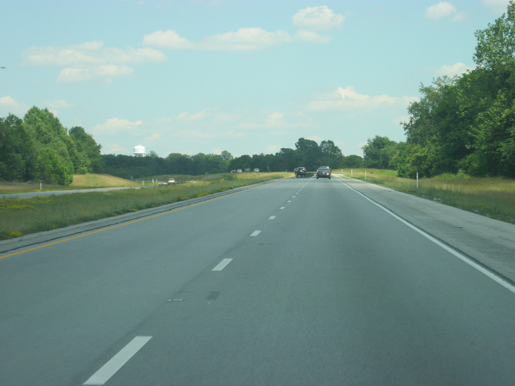
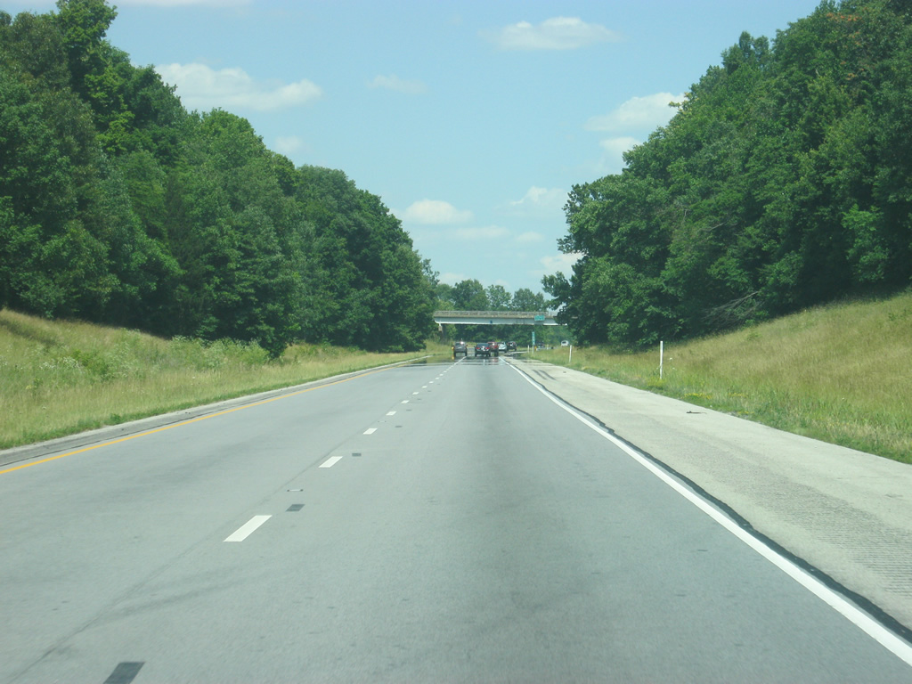
| Views of Interstate 64 as it treks across eastern Harrison County. This stretch of freeway was completed in 1974. 06/07/12 |
|
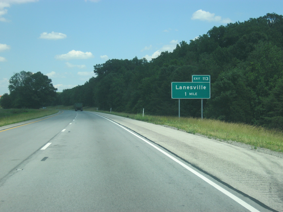
| The second of the two Harrison County interchanges joins Interstate 64 with Crandall Lanesville Road in one mile. 06/07/12 |
|
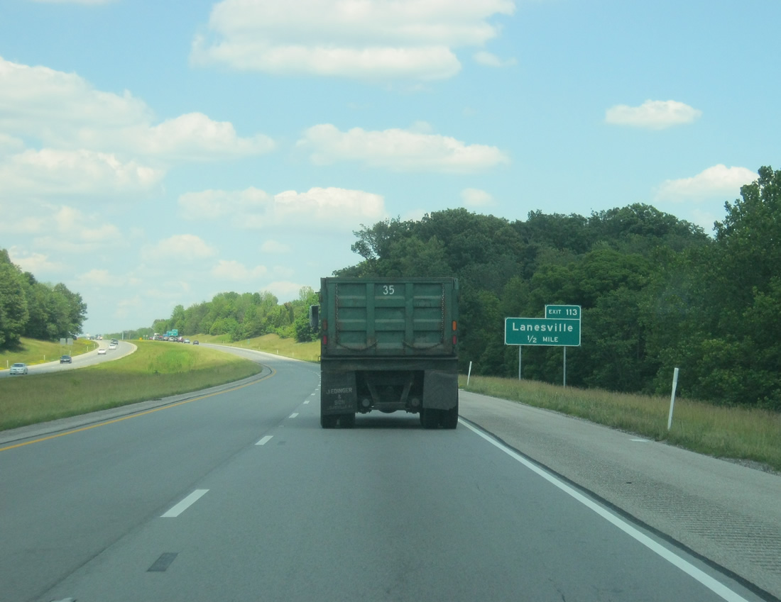
| Crandall Lanesville Road comprises a rural two lane road joining Exit 113 of Interstate 64 with Lanesville and SR 62 to the south. 06/07/12 |
|
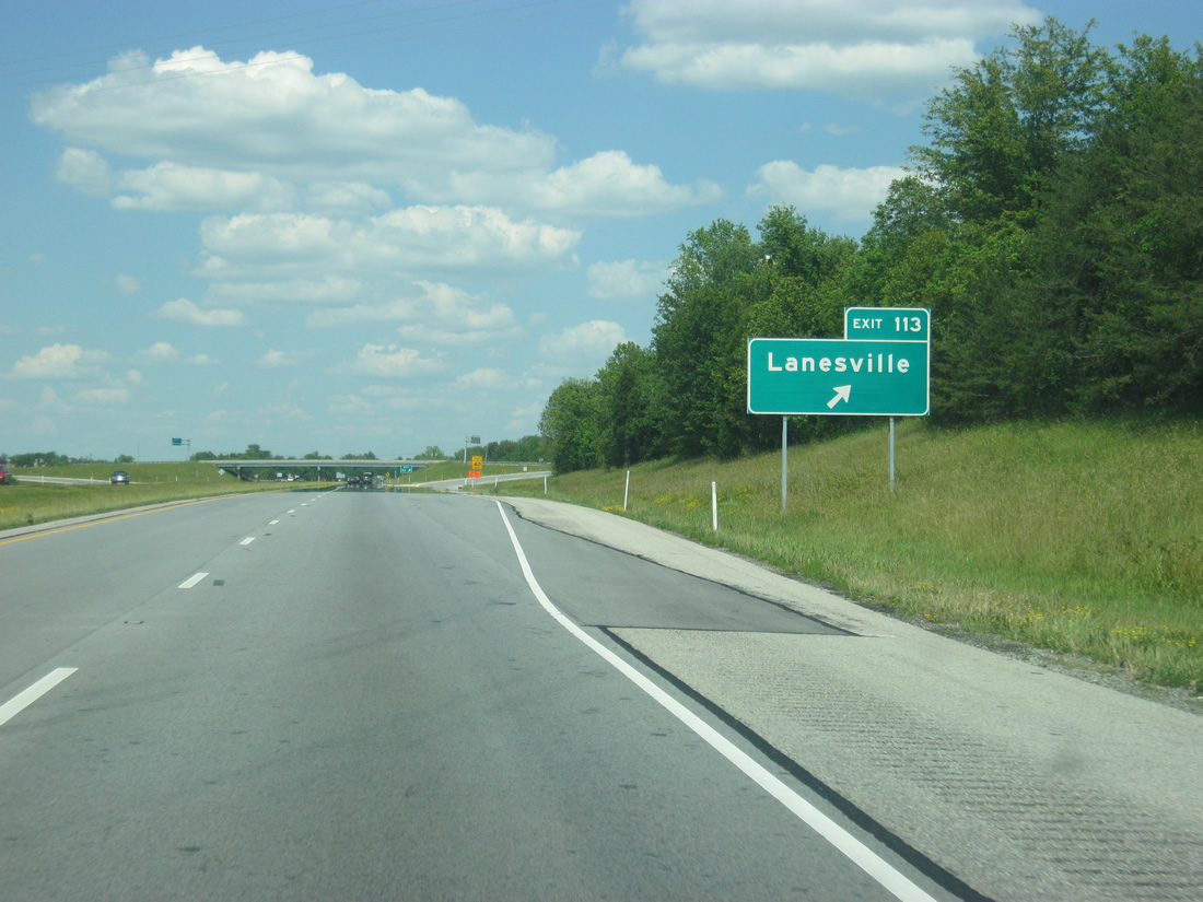
| Exit 113 departs Interstate 64 eastbound. Crandall Lanesville Road turns west nearby and continues to agricultural areas to Crandall. Lanesville Road also stems north from nearby to become County Line Road and Old Lanesville Road as a back way into Georgetown. 06/07/12 |
|
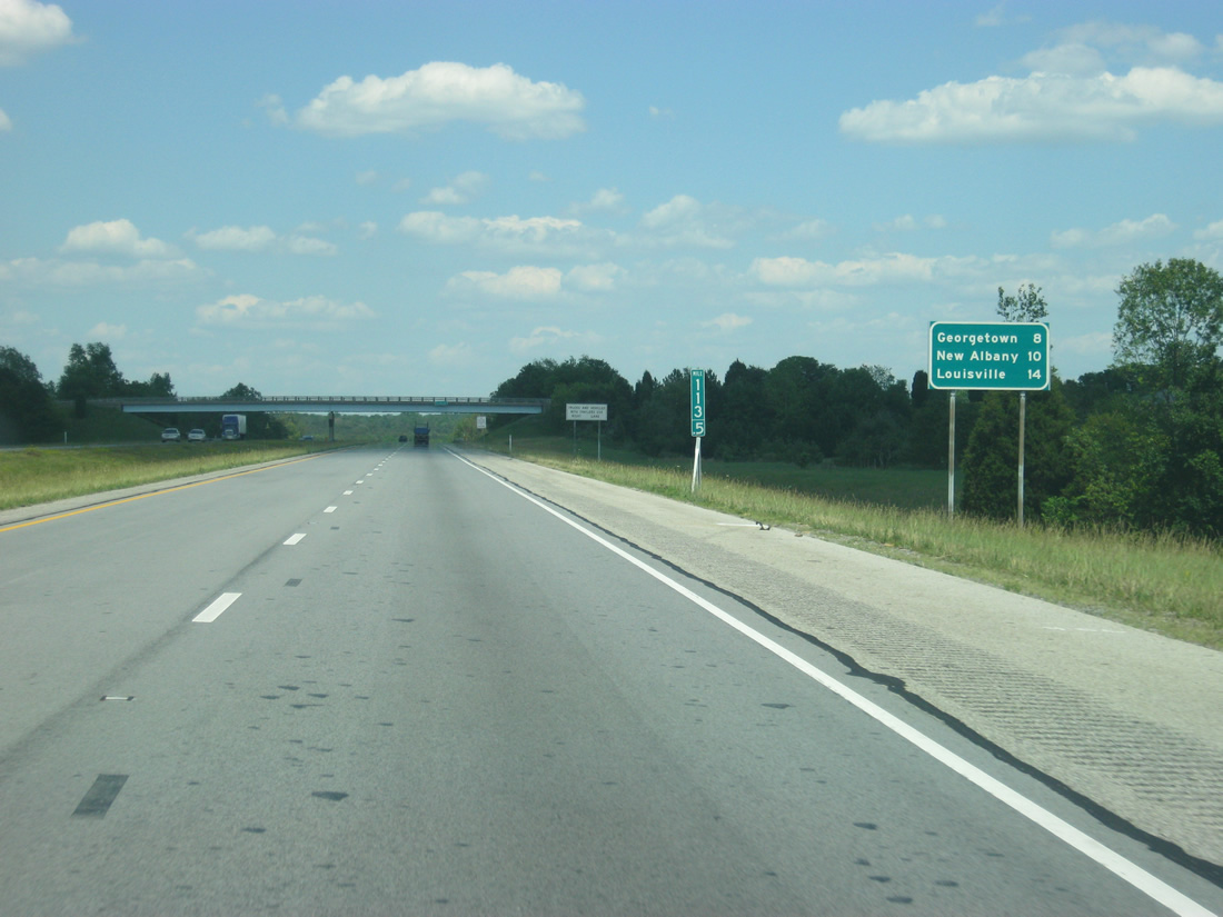
| Georgetown is the next community at eight miles. The Floyd County seat of New Albany is 14 miles away and Louisville follows at 14 miles. 06/07/12 |
|
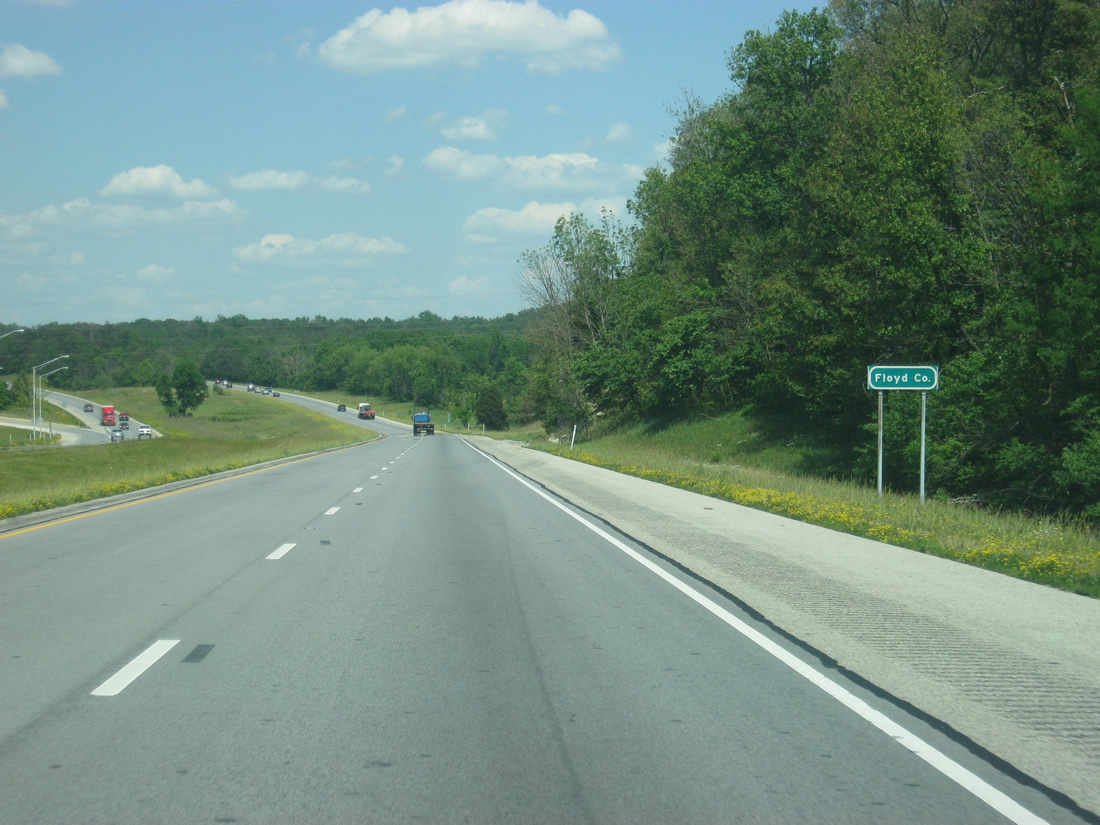
| Interstate 64 enters its final Indiana county, Floyd County. 06/07/12 |
|
| Forthcoming Exit 117 doubles as the eastern terminus of SR 64, a 107.5 mile route mirroring that Interstate 64 corridor westward to Marengo, Birdseye, Huntingburg, Oakland City, Princeton and the Illinois state line at East Mt. Carmel. 06/07/12 |
|
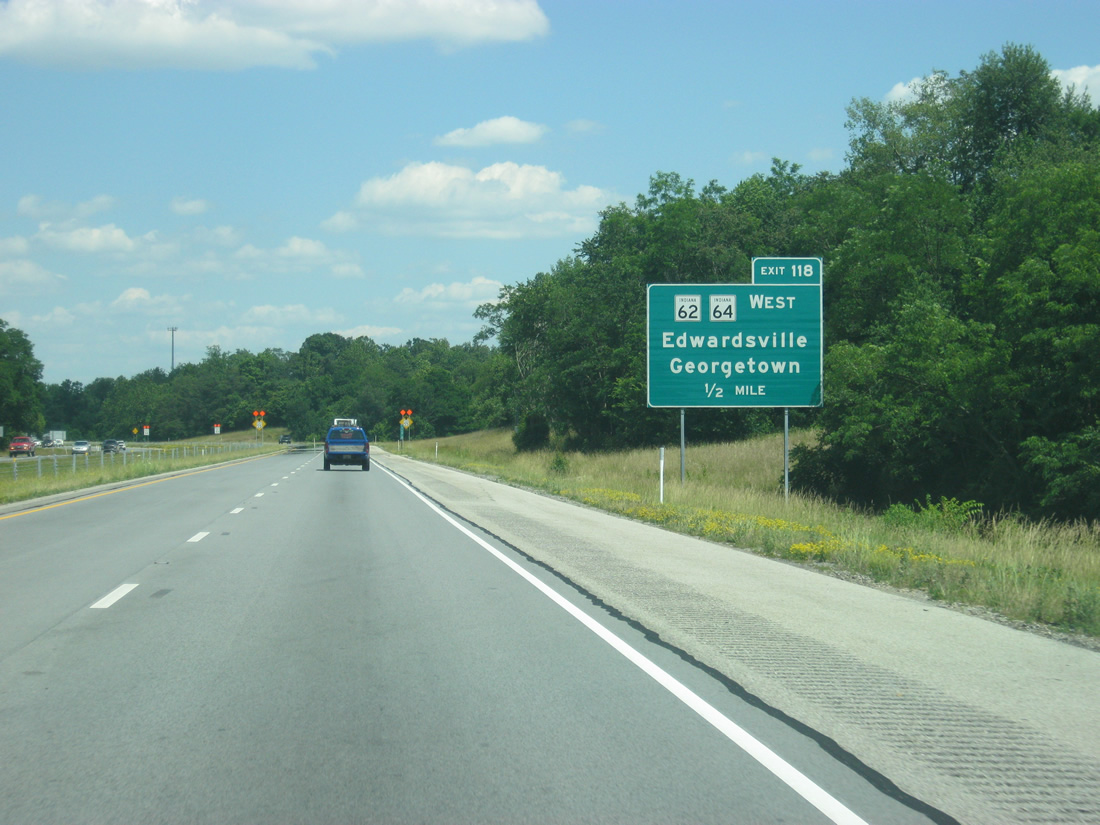
| One half mile east of the Exit 118 off-ramp to SR 62 and SR 64 west. This interchange serves the growing Georgetown and Edwardsville area in western Floyd County and was recently rebuilt to handle the extra traffic. 06/07/12 |
|
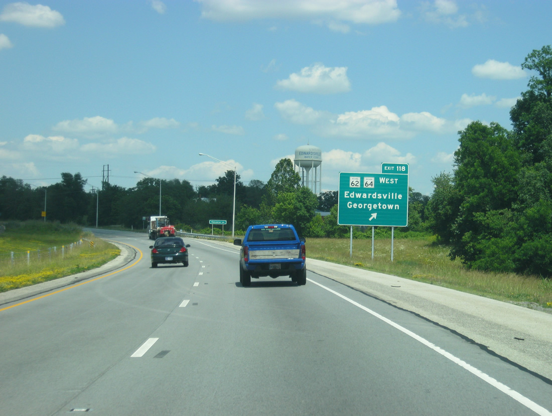
| SR 62 west follows a parallel route to the freeway westward to Lanesville, Corydon and Leavenworth. Overall the state road totals 227.7 miles from Dillsboro in southeast Indiana to a toll bridge across the Wabash River into Illinois. From Exit 117, SR 62 will follow Interstate 64 to Exit 121 with Interstate 265. This interchange is the only place where an interstate meets another highway with the same number. 06/07/12 |
|
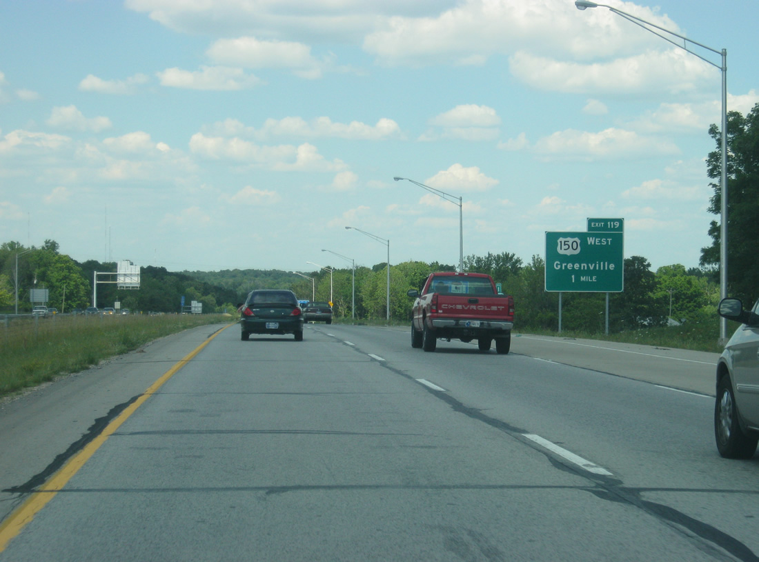
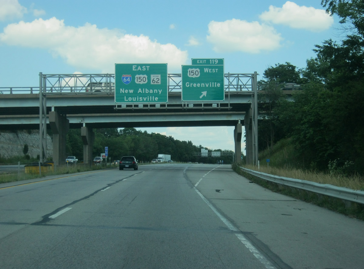
| East of Exit 118, I-64/SR 62 approaches Exit 119 (U.S. 150) with access to Greenville, located in northwestern Floyd County. 06/07/12 |
|
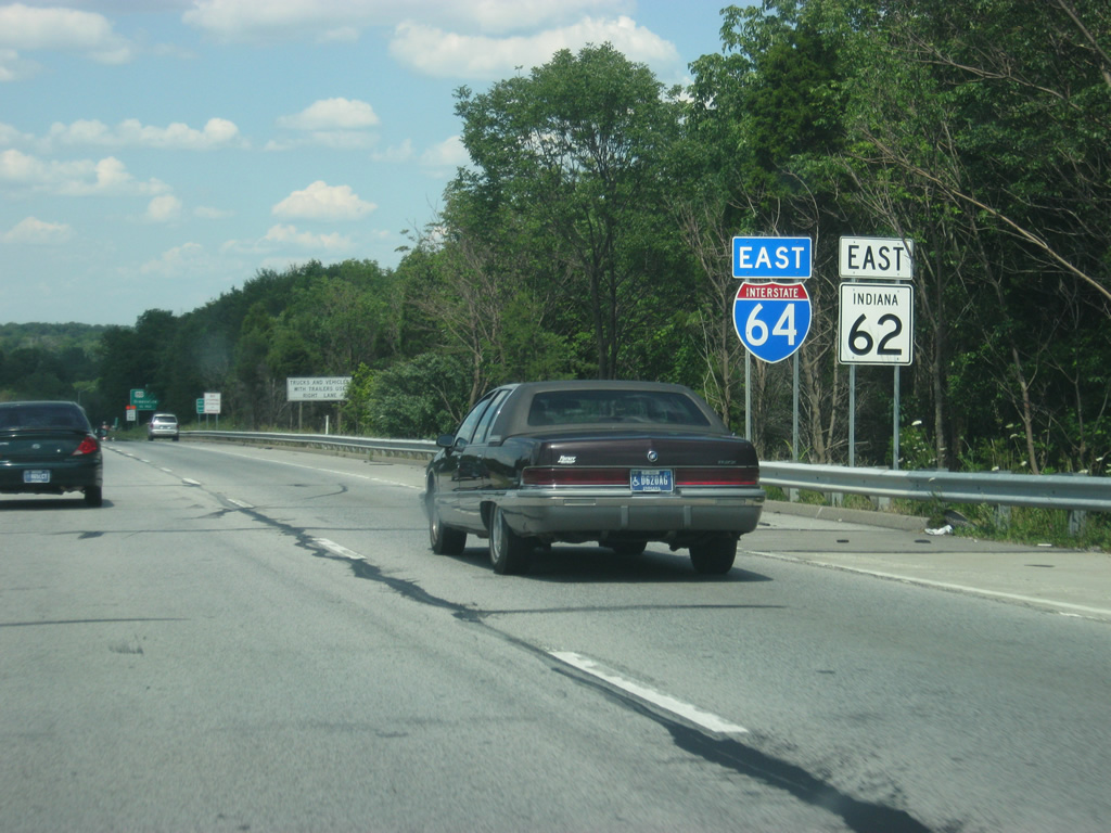
| Reassurance shields marking the multiplex between Interstate 64 and SR 62. 06/07/12 |
|
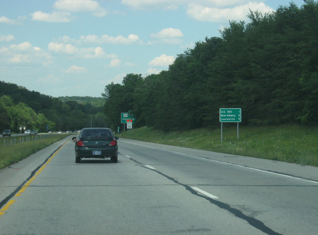
| Despite being about 3/4 of a mile away from Exit 119, the distance sign announces that U.S. 150 is one mile away. New Albany is five miles away and Downtown Louisville, Kentucky is nine miles. 06/07/12 |
|
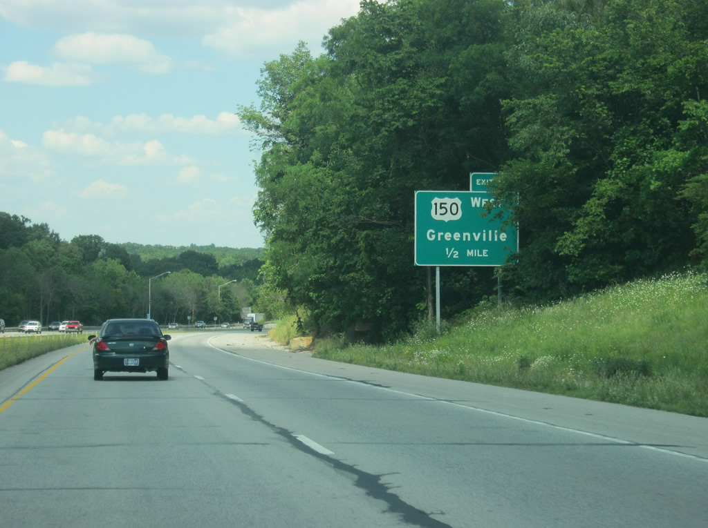
| Now a half mile away from Exit 119 with U.S. 150 west. 06/07/12 |
|
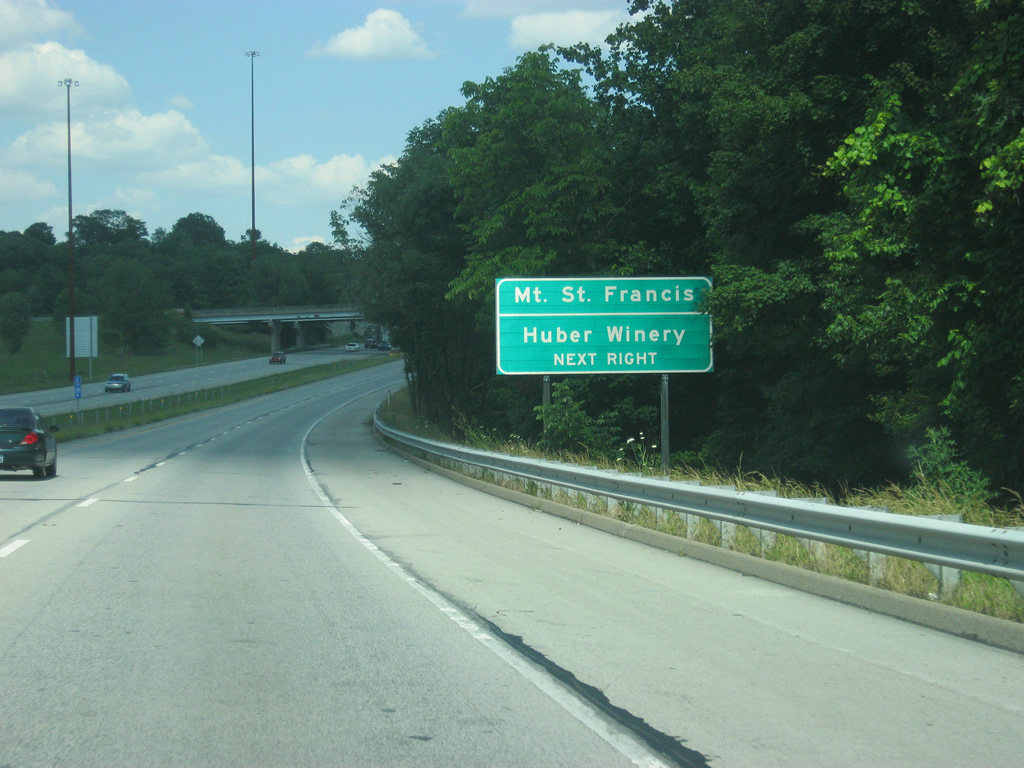
| The community of Mt. St. Francis and Huber Winery can be reached by taking U.S. 150 to the north a few miles from Interstate 64. 06/07/12 |
|
| A trumpet interchange connects U.S. 150 west and I-64/SR 62 as the U.S. highway angles toward the northwest where it links up with Greenville, Palmyra, Paoli, Shoals, Vincennes, and Terre Haute before leaving the state. For the next two miles, Interstate 64, U.S. 150, and SR 62 run concurrently. 06/07/12 |
|
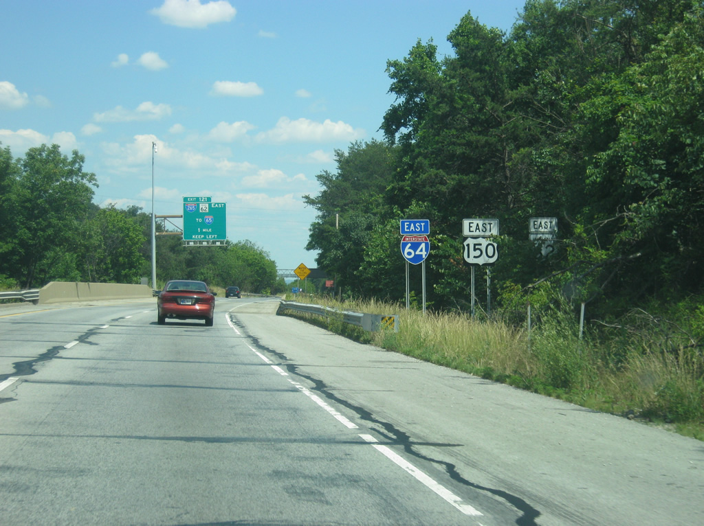
| Reassurance shields for I-64/U.S. 150-SR 62 east of Exit 119. 06/07/12 |
|
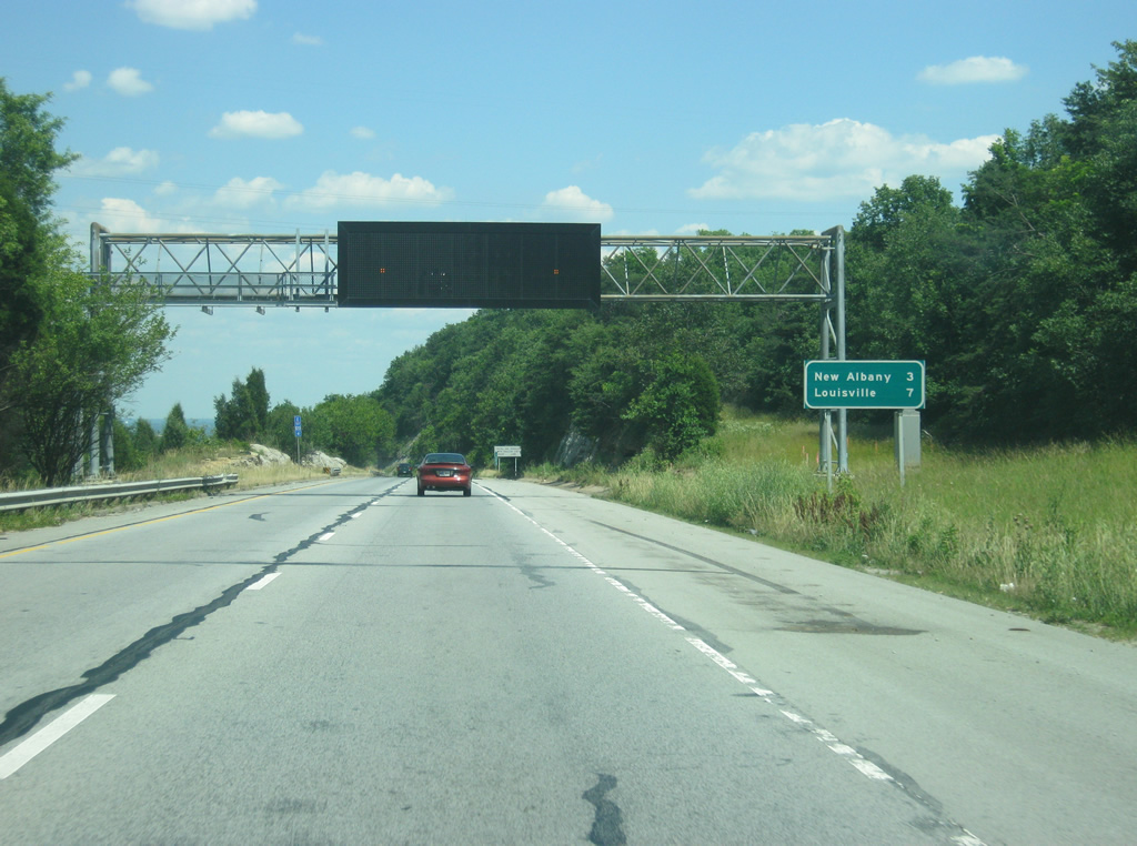
| I-64/U.S. 150-SR 62 descend down the Knobstone Escarpment as Exit 121 with Interstate 265 is a mile away. 06/07/12 |
|
| New Albany is now three miles away with Louisville at seven miles. 06/07/12 |
|
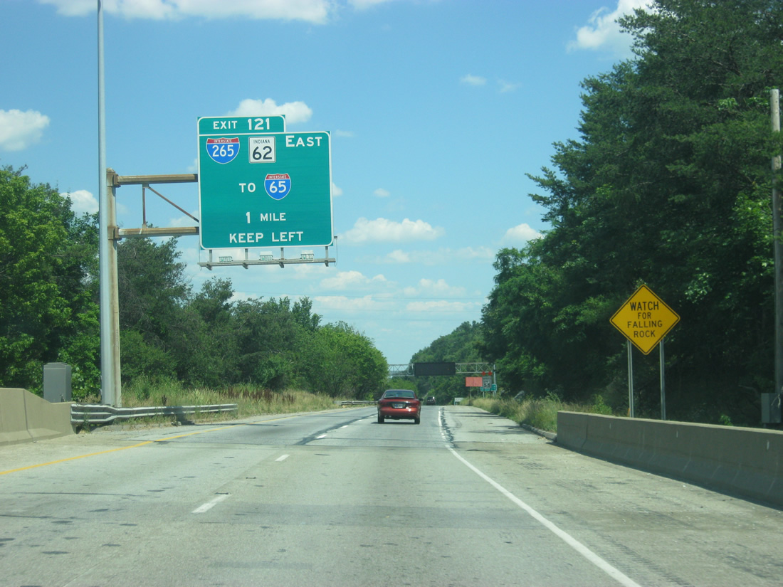
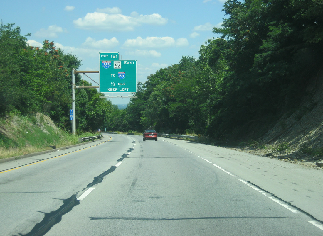
| A half mile away from Exit 121 with Interstate 265 and SR 62 east. Interstate 265 provides a bypass route north of New Albany and Clarksville between Interstates 64 and 65 and is often used by those heading toward Indianapolis as part of an Indy to Evansville route. 06/07/12 |
|
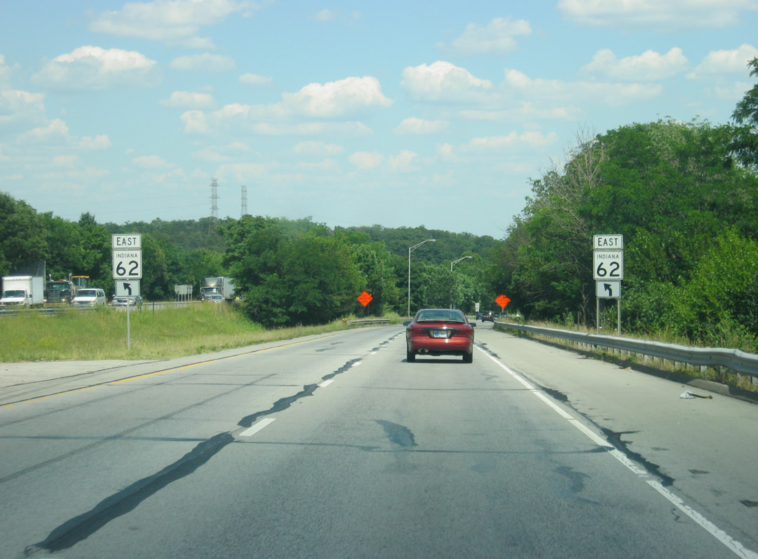
| The area around Exit 121 provides for some dramatic scenery, by Indiana standards. Up ahead, an SR 62 shield directs traffic to keep left at the interchange. 06/07/12 |
|
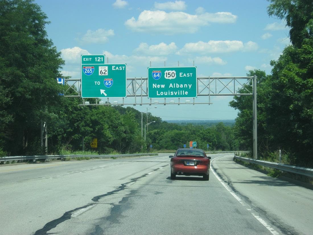
| A directional interchange ties I-64/U.S. 150-SR 62 with Interstate 265 east and SR 62 east at Exit 121. The ramp east to I-265/SR 62 east was widened to two lanes as part of the traffic mitigation efforts during the Sherman Minton Bridge closure of 2011-2012. Two lanes for Interstate 64 and U.S. 150 continue to the east toward New Albany and Louisville. 06/07/12 |
|
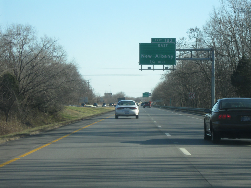
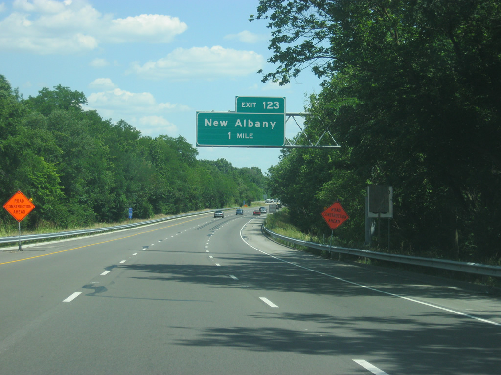
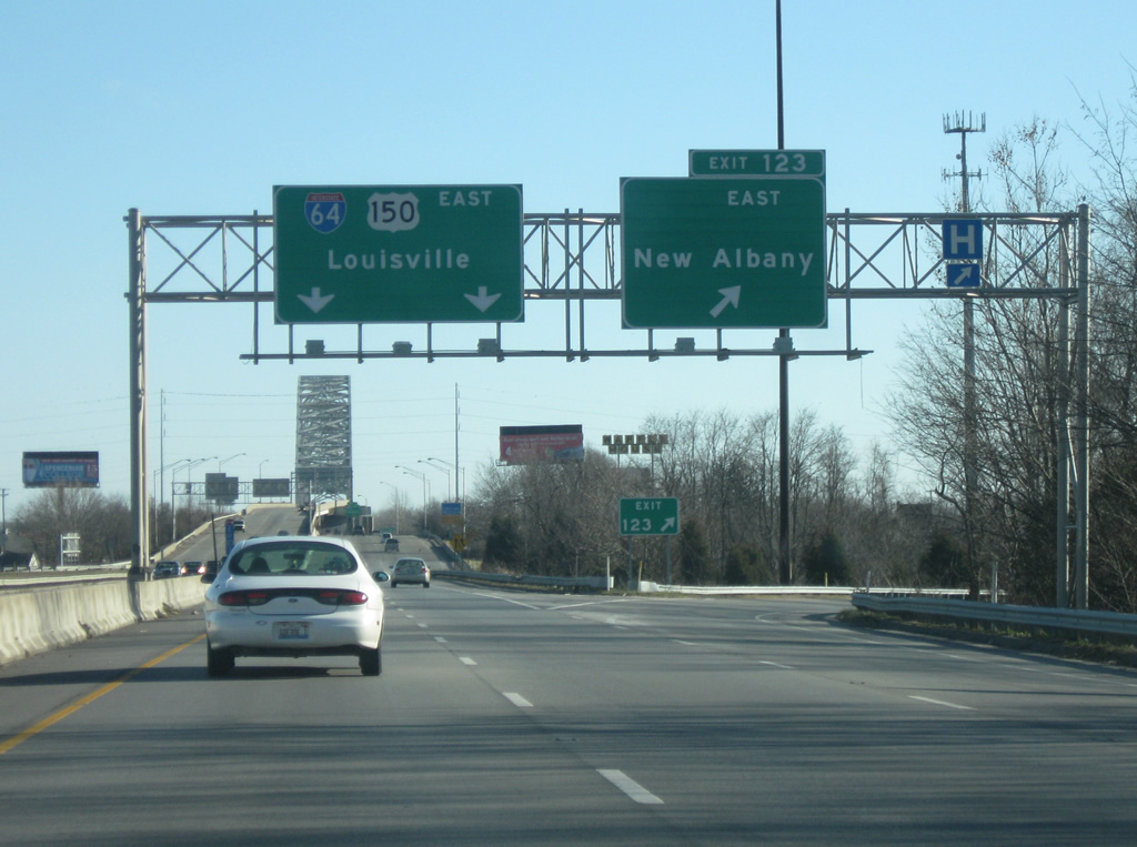
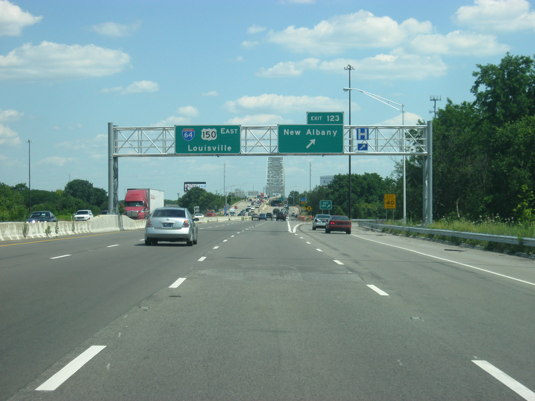
| I-64/U.S. 150 continue east from the west end of Interstate 265 into New Albany. Up ahead, the final interchange in Indiana, Exit 123 is now one mile away. 12/26/09, 06/07/12 |
|
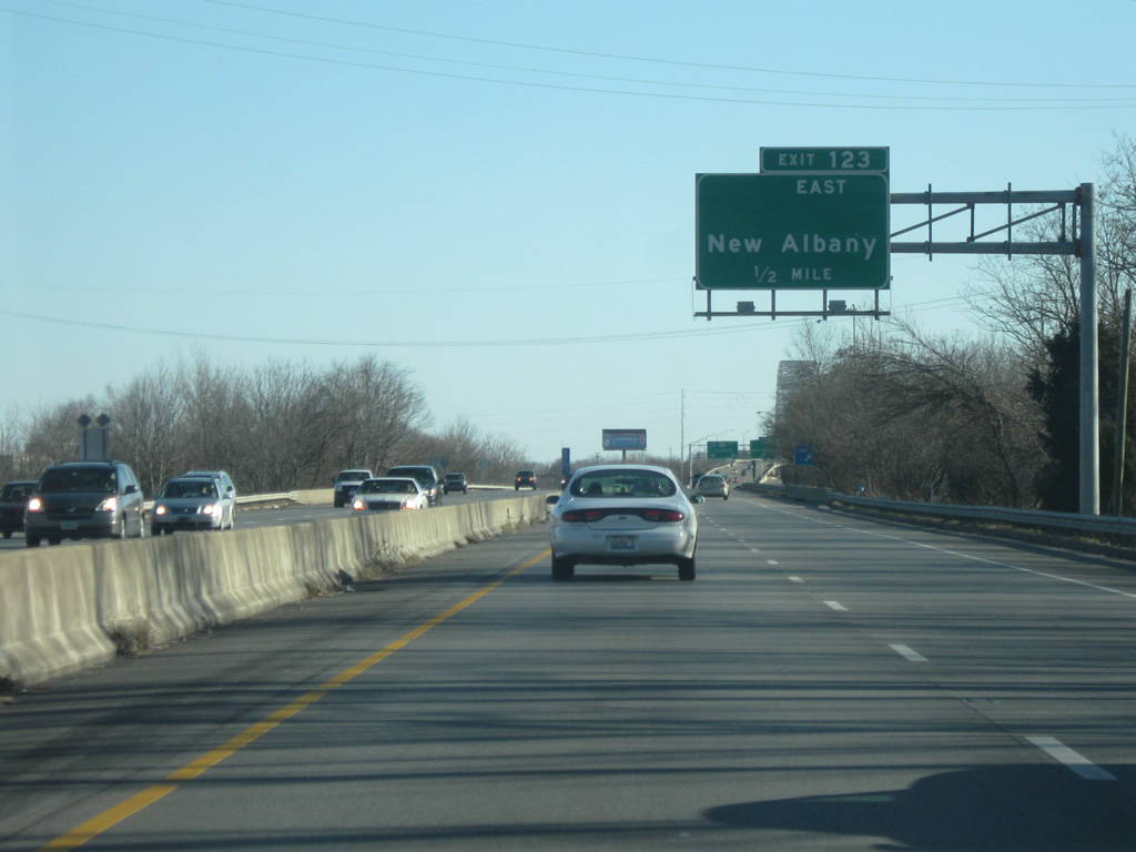
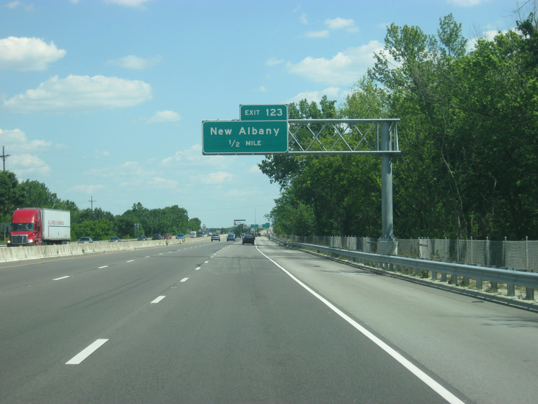
| Exit 123 departs ahead for Spring Street to Main Street (SR 111). Spring and 5th Streets used to carry SR 62 west to West Main Street and Corydon Pike, but that route now follows Interstate 64 west from Interstate 265. 12/26/09, 06/07/12 |
|
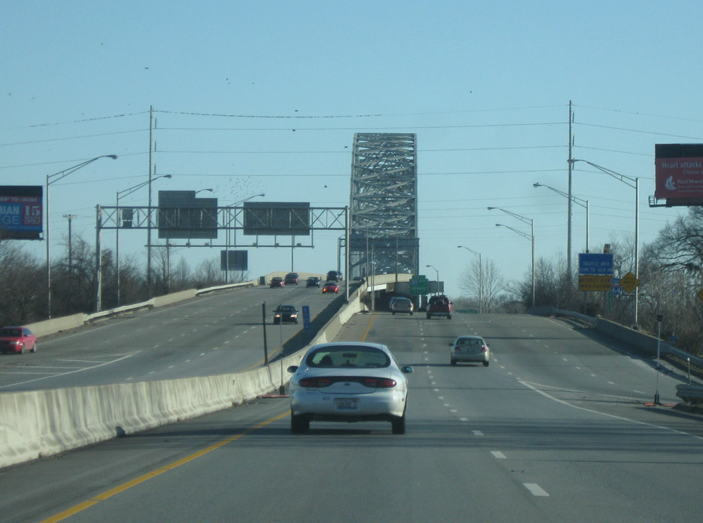
| Drivers approach the Sherman Minton Bridge across the Ohio River at the Exit 123 folded diamond interchange with Spring Street (former SR 62). SR 111 travels south from downtown New Albany along River Road to southern Harrison County and north via Vincennes Street to Charlestown Road (former U.S. 31W and SR 311). SR 111 is the main road to the Horseshoe Southern Indiana Casino (formerly Caesars Indiana), the only casino in the Louisville area. 12/26/09, 06/07/12 |
|
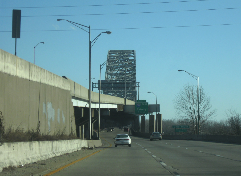
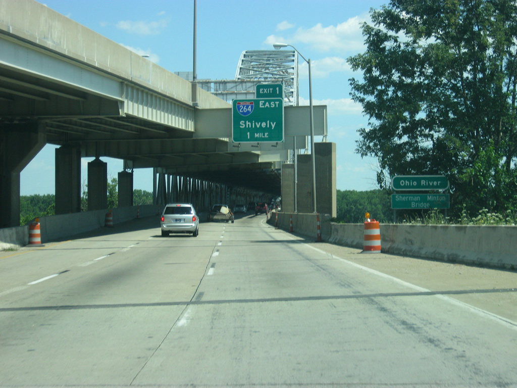
| East of Exit 123, I-64/U.S. 150 prepares to cross the Sherman Minton Bridge. Opened in 1962, the bridge has carried up to 80,000 drivers per day from the New Albany area into Louisville. In September 2011, the bridge was closed due to cracks found in the bridge itself. Cracks were sealed and maintenance repairs were made to the bridge and the span reopened on February 17, 2012. 12/26/09 |
|
| Eastbound travelers enter the lower deck of the Sherman Minton Bridge at the Ohio River. Three eastbound lanes travel one mile to the split with Intestate 264 (Exit 1) in Louisville. 12/26/09, 06/07/12 |
Page Updated 02-24-2013.

 East
East