|
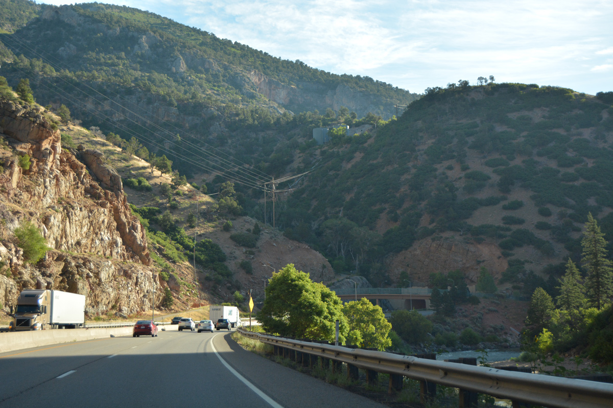
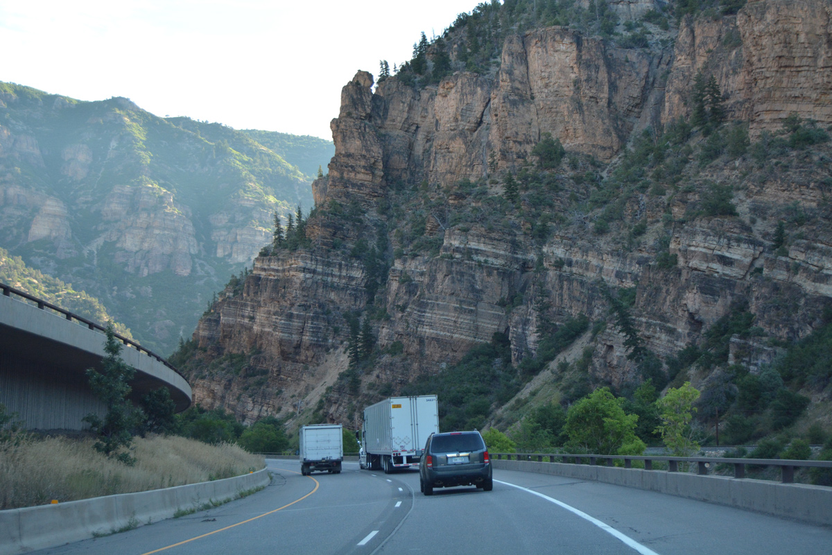
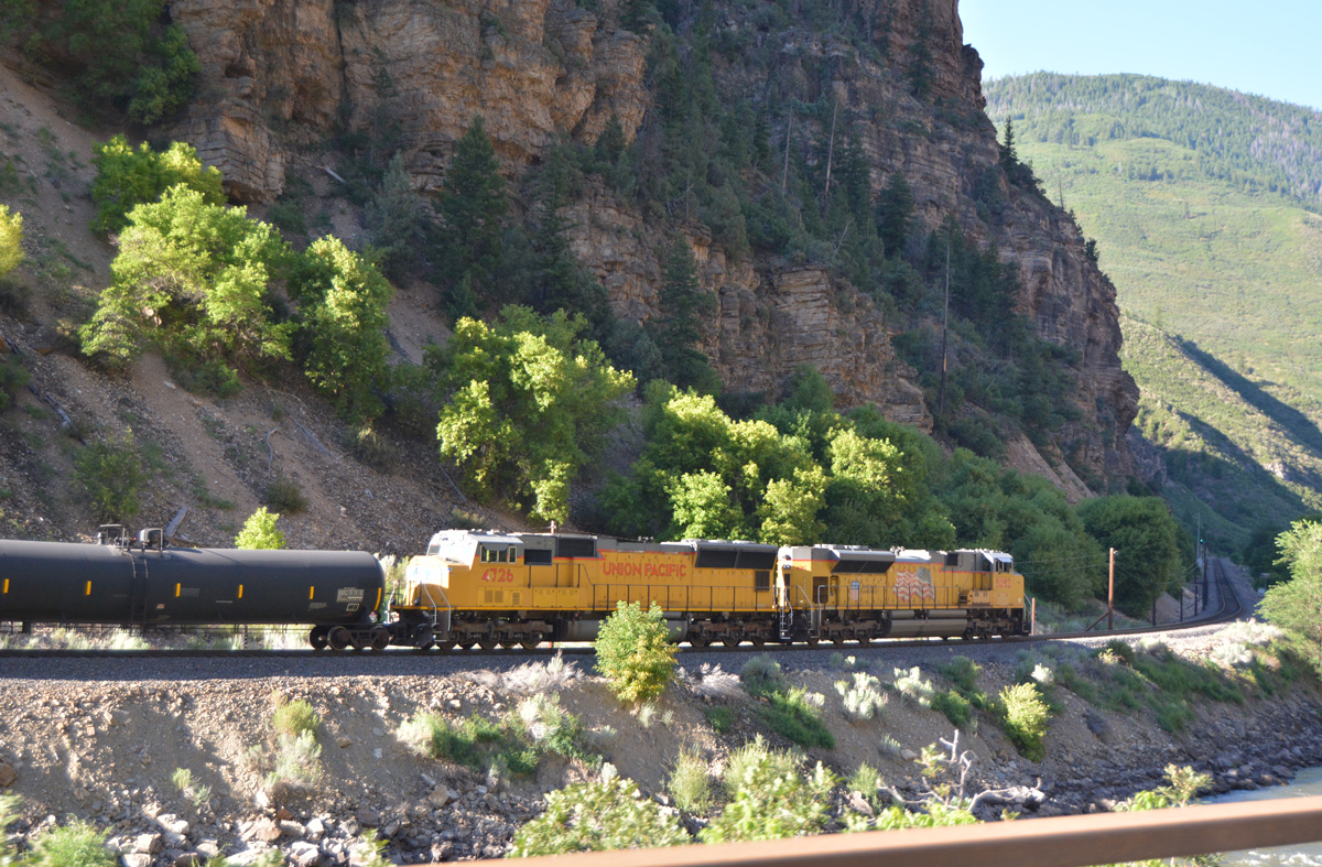
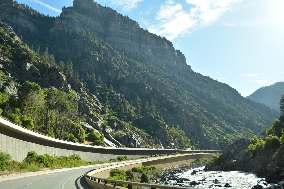
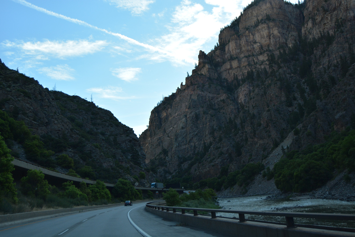
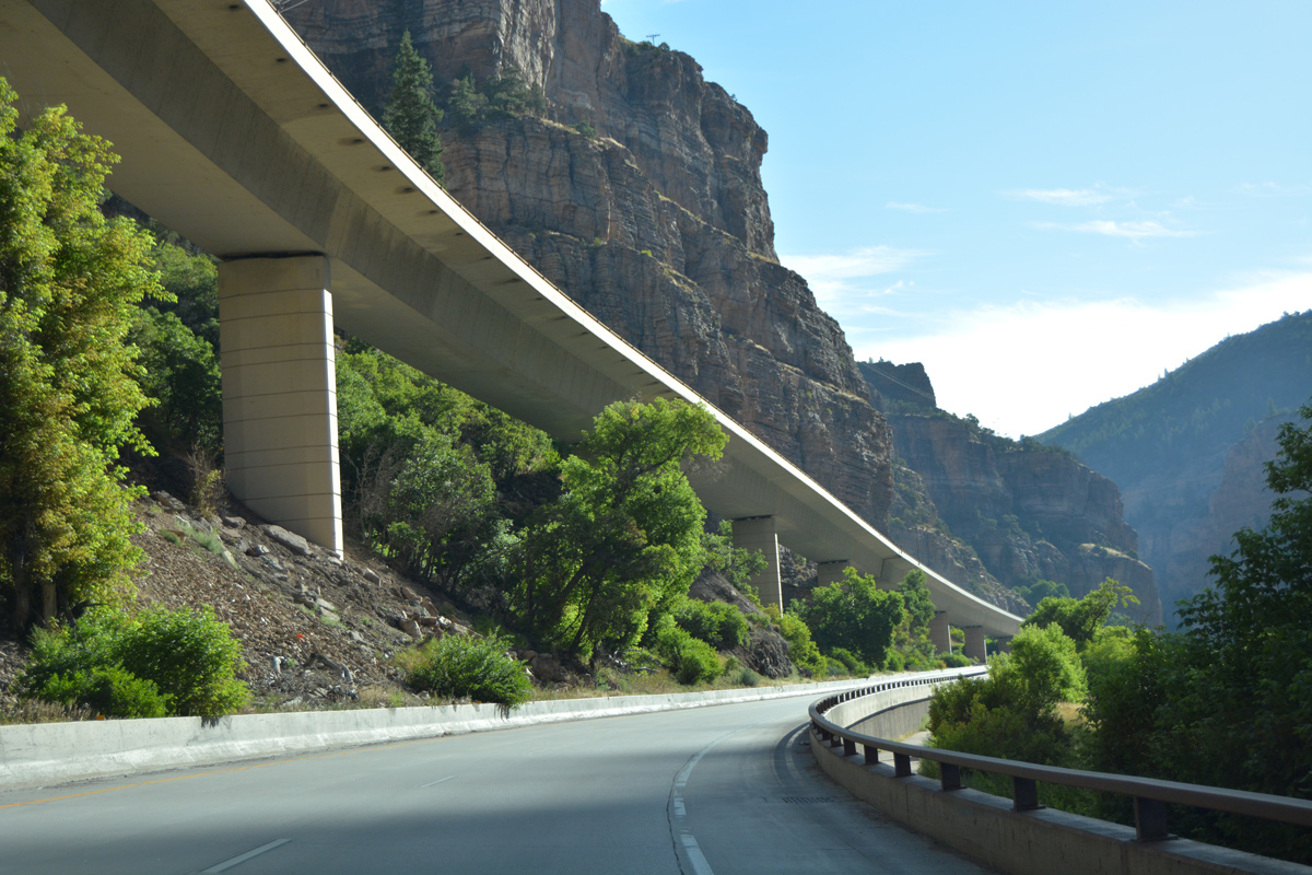
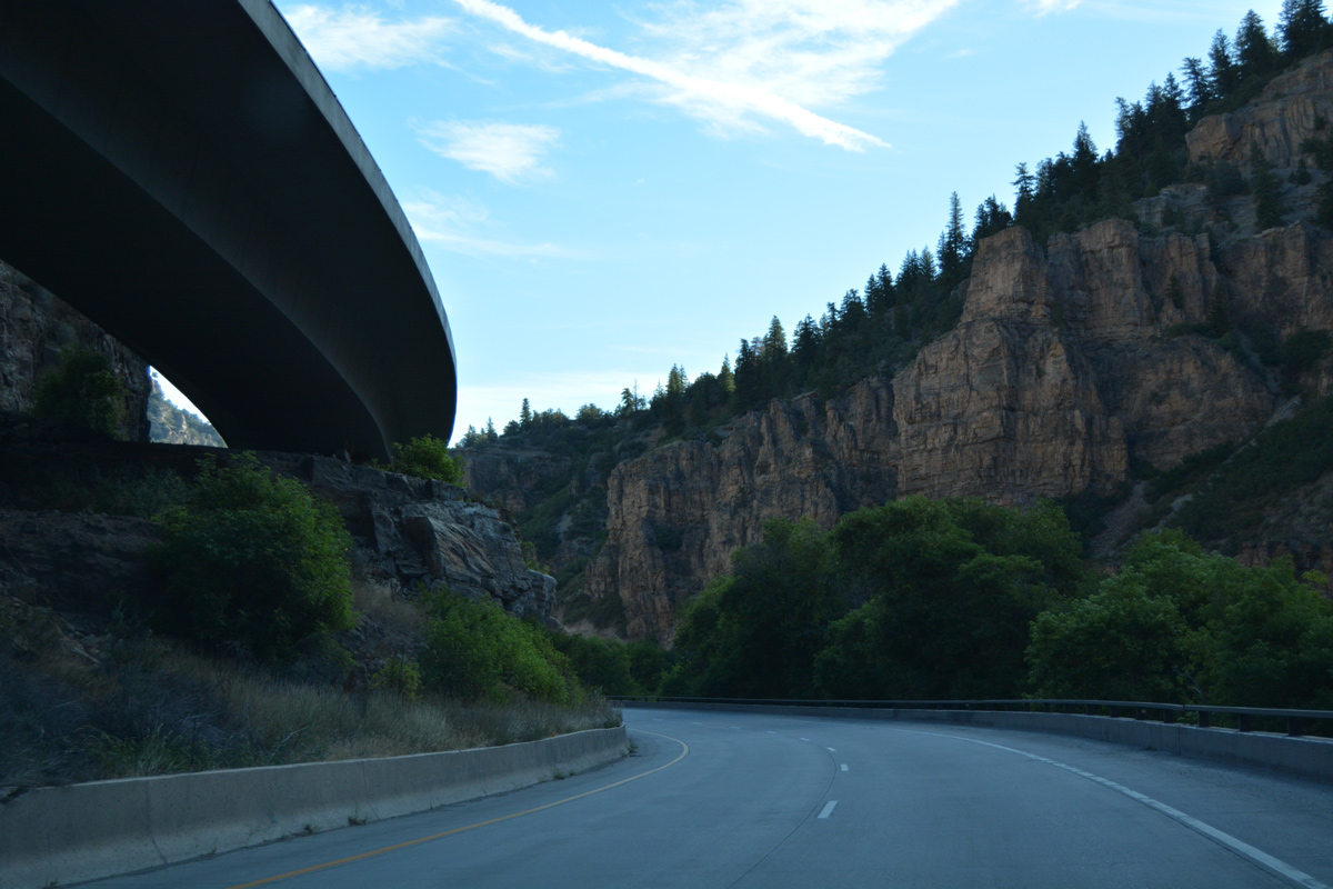
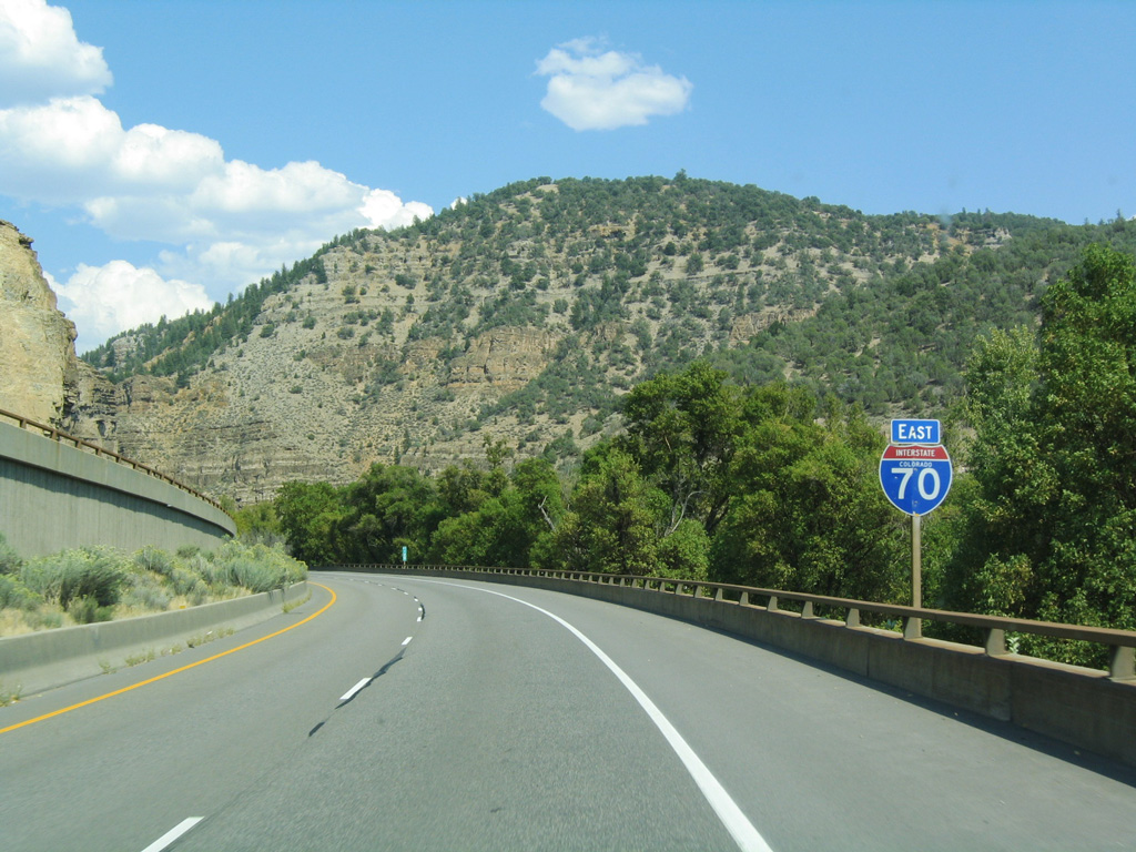
| I-70/U.S. 6 enter scenic Glenwood Canyon, home to one of the most expensive highway projects in the country. The adjacent Union Pacific Railroad passes through a tunnel above the south banks of the Colorado River in this scene. 08/11/16 |
|
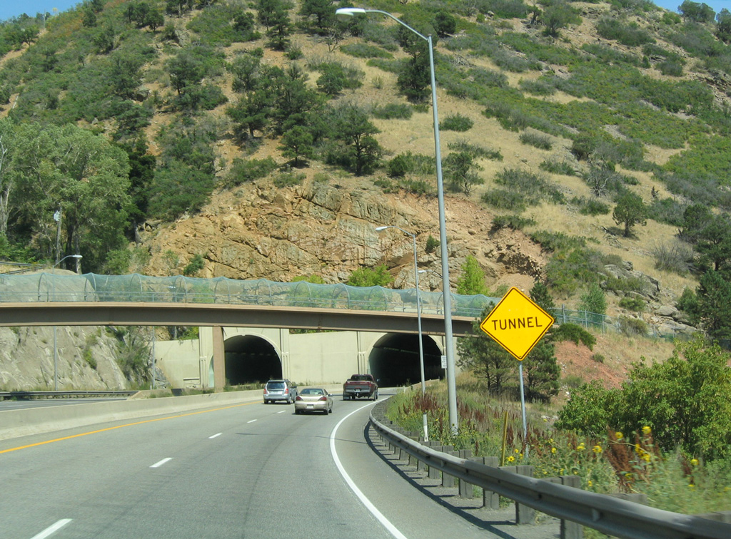
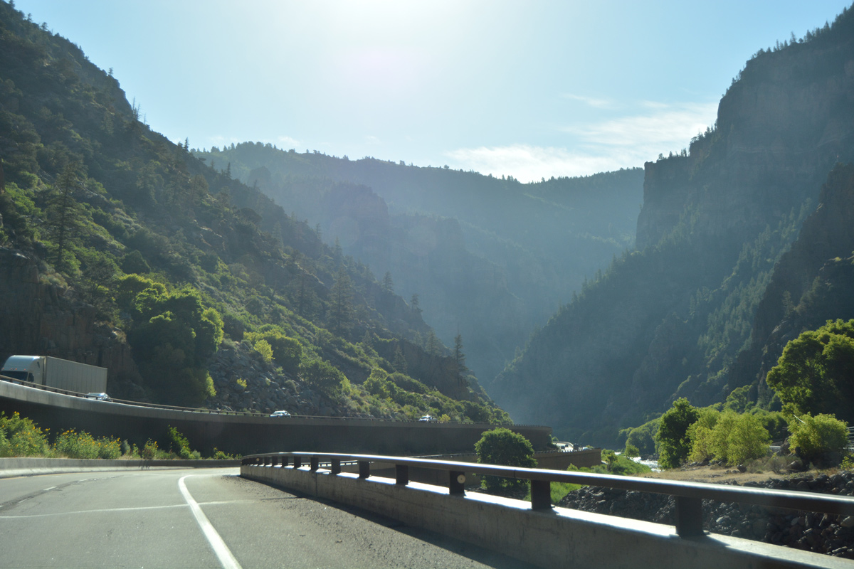
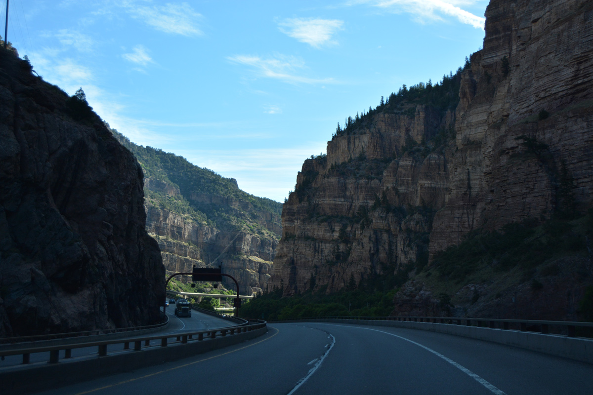
| Curving east, the Colorado River comes into view ahead of No Name Tunnel. A distant overpass carries the Glenwood Canyon Hiking and Biking Trail. 08/11/16 |
|
| No Name Tunnel allows the freeway to bypass the section of old U.S. 6-24 around Horseshoe Bend. The former alignment is a part of the hiking and biking path. 08/30/04 |
|
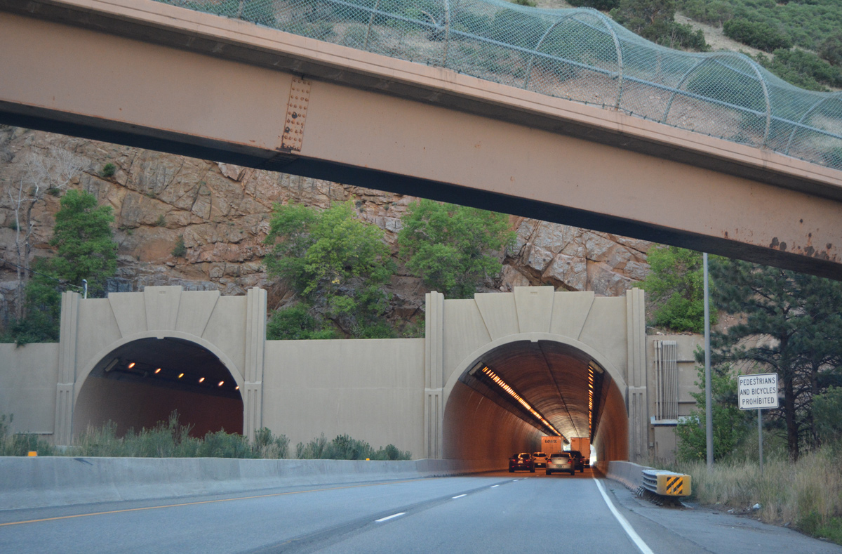
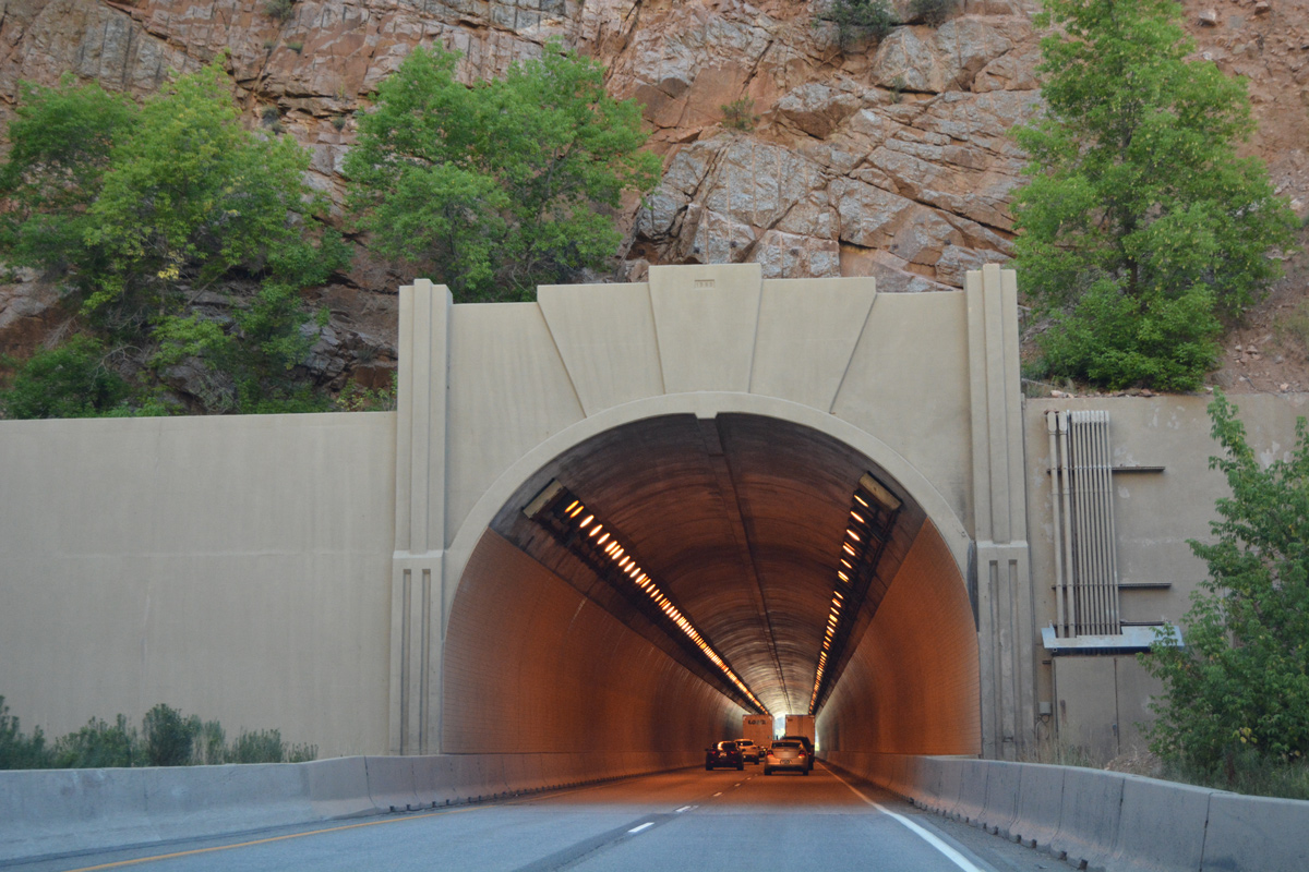
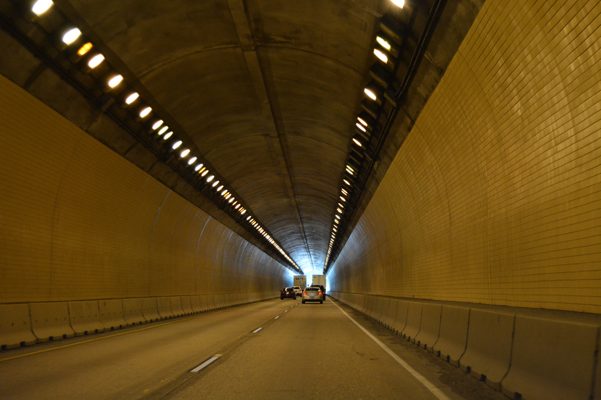
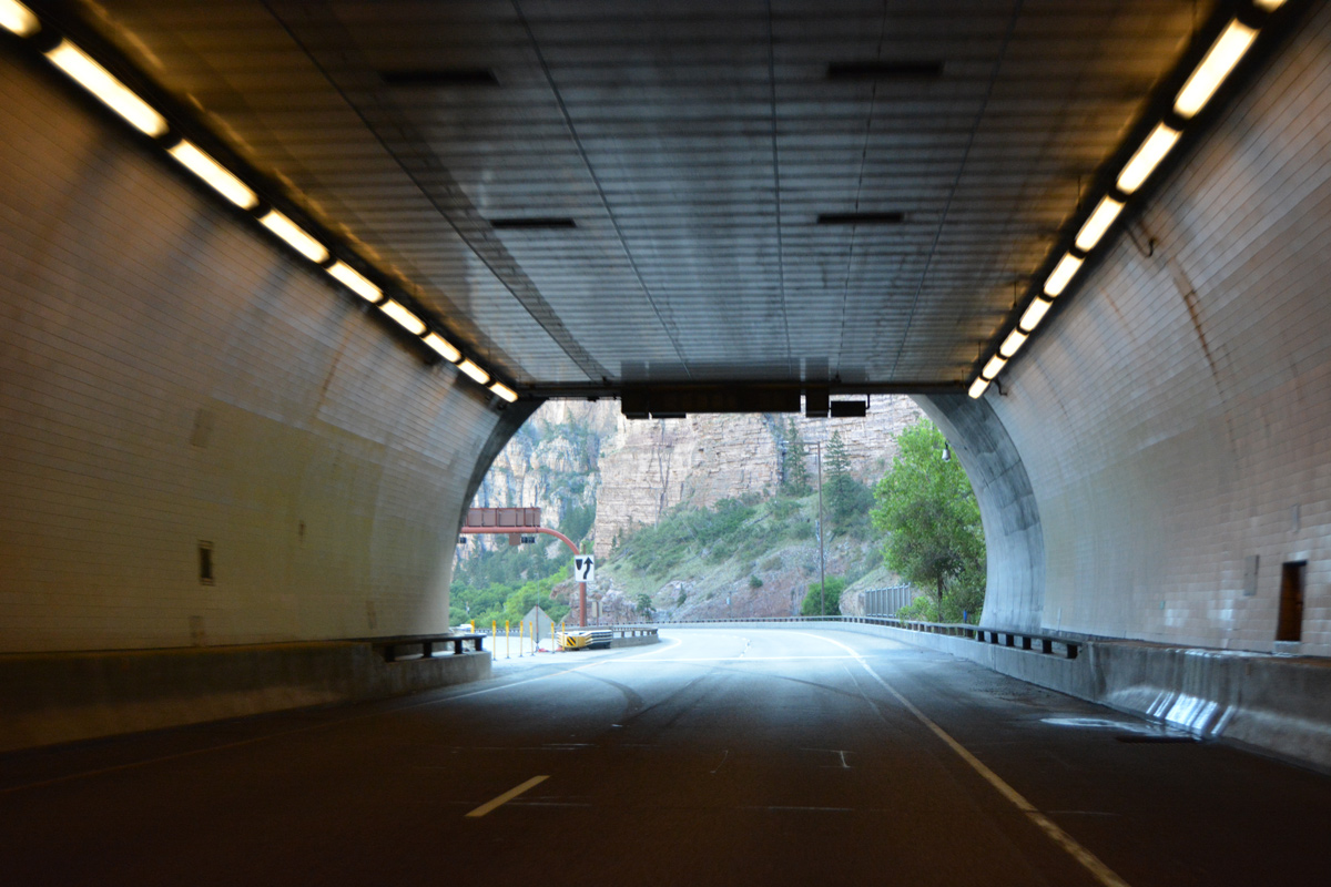
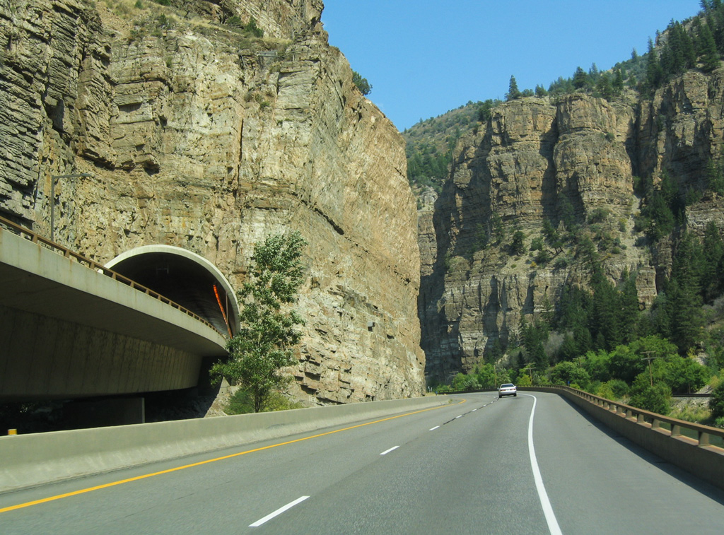
| I-70/U.S. 6 narrow through No Name Tunnel without shoulders. This is the first of two tunnels eastbound. Westbound traffic uses a third tunnel. 08/11/16 |
|
| The initial stretch of I-70 east to No Name was completed in 1966.1 No Name Tunnel was built in 1965.2 08/11/16 |
|
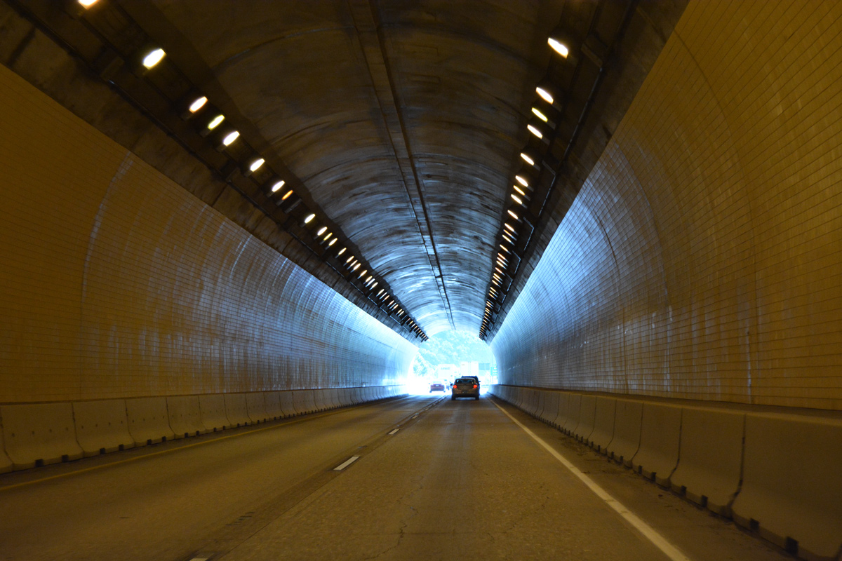
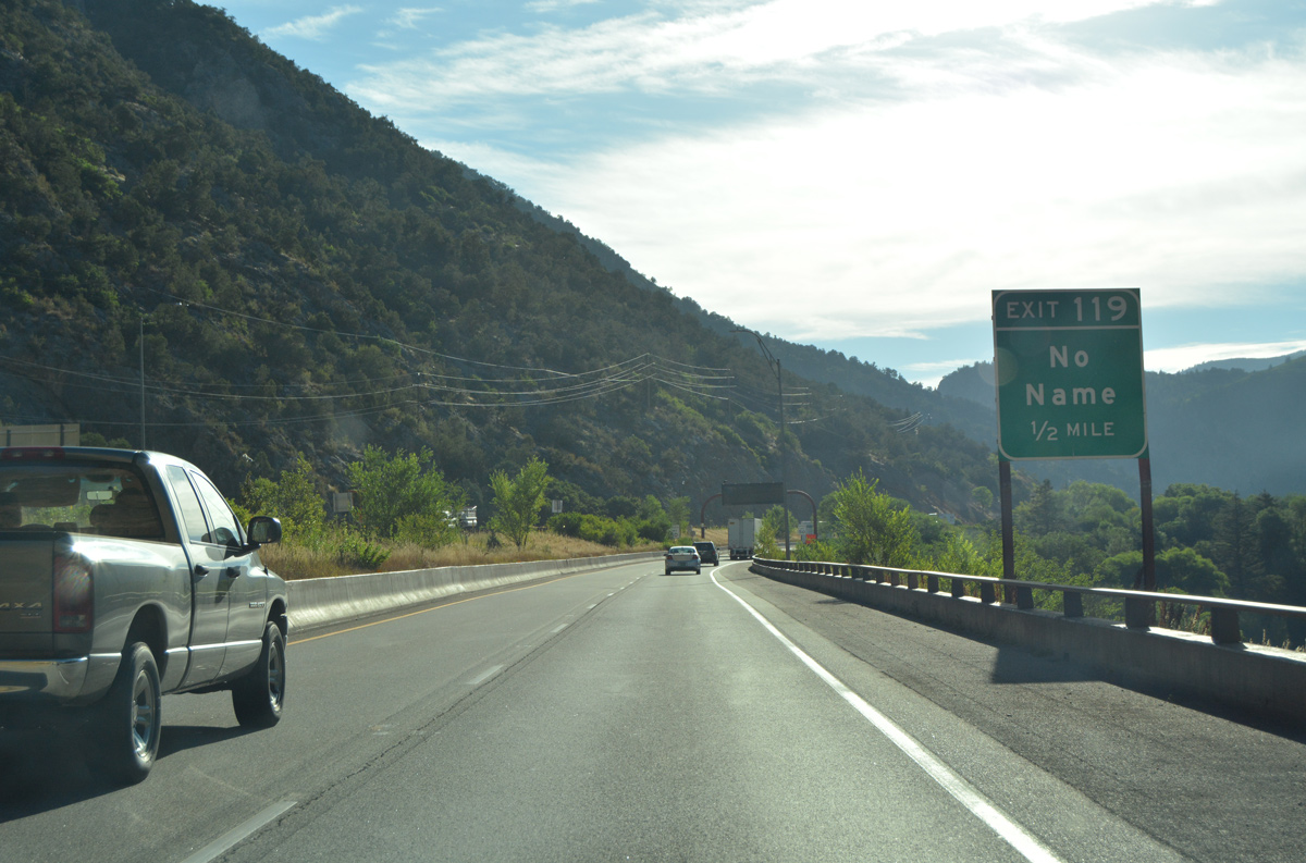
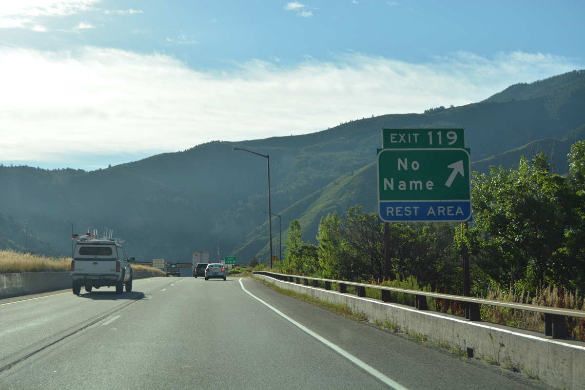
| Emerging from No Name Tunnel, I-70 continues a half mile to the diamond interchange (Exit 119) for No Name. 08/11/16 |
|
| Camping, a popular activity in the White River National Forest, is readily available at Exit 119 and No Name. 08/11/16 |
|
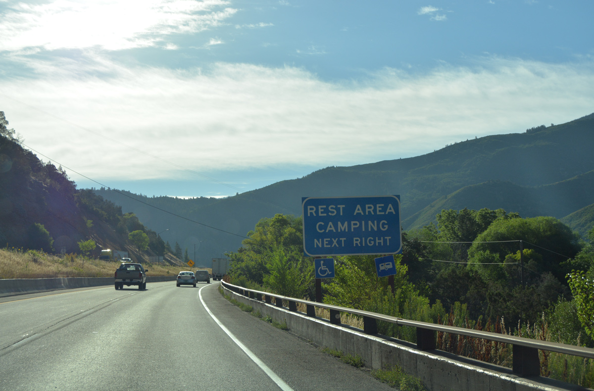
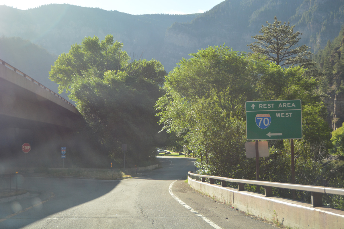
| Exit 119 departs from I-70 east for No Name Lane and a CDOT maintained rest area. No Name Lane parallels No Name Creek north into White River National Forest. The road west follows a portion of old U.S. 6-24. 08/11/16 |
|
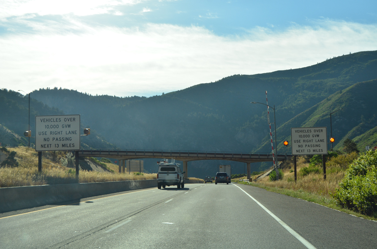
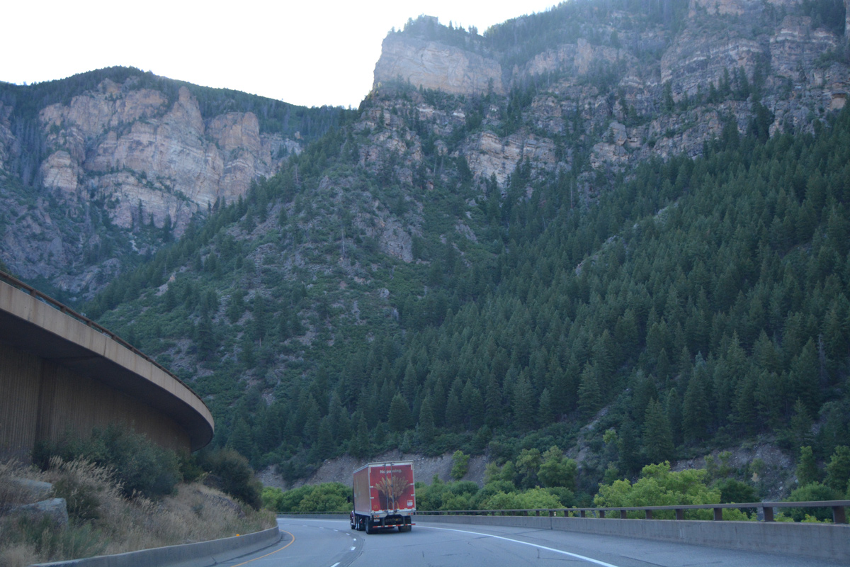
| A truck restriction for the left lane of Interstate 70 applies to the 13 mile stretch beyond No Name. 08/11/16 |
|
| The remainder of Interstate 70 east through Glenwood Canyon was under construction from 1980 to October 14, 1992 at a cost of $490 million.1,2 08/11/16 |
|
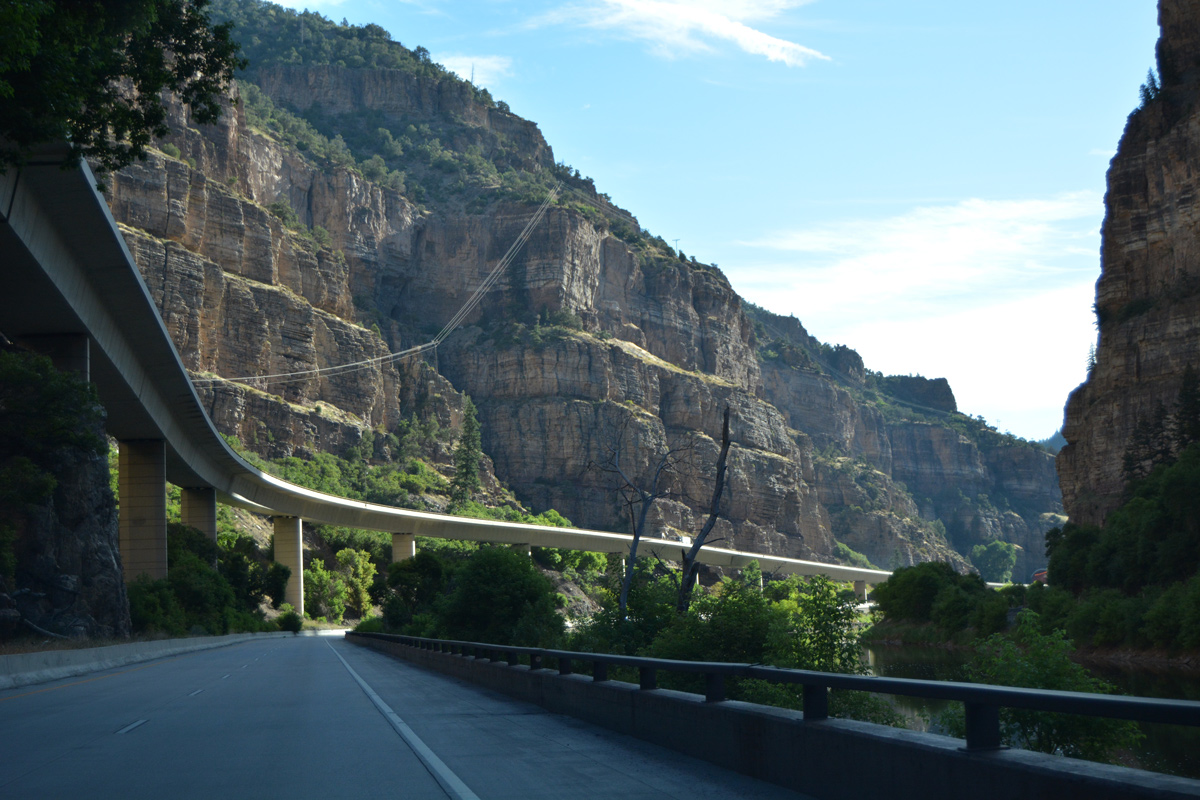
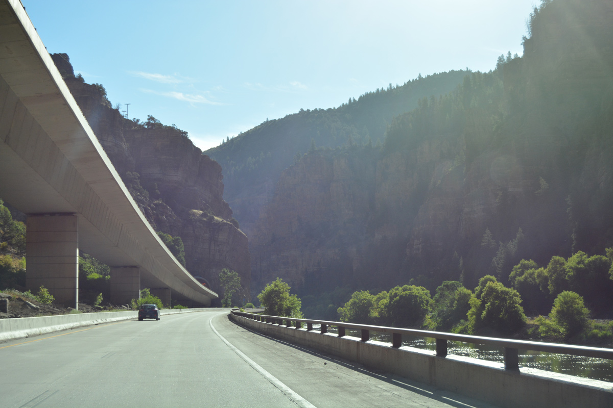
| Originally, U.S. 6 followed a narrow route alongside the Colorado River, but today the former two lane road generally carries the eastbound lanes, or was repurposed as the adjacent multiuse path. The westbound lanes for I-70 were constructed mostly on viaduct. 08/11/16 |
|
| Upcoming Exit 119 includes an off freeway rest area at Grizzly Creek. 08/11/16 |
|
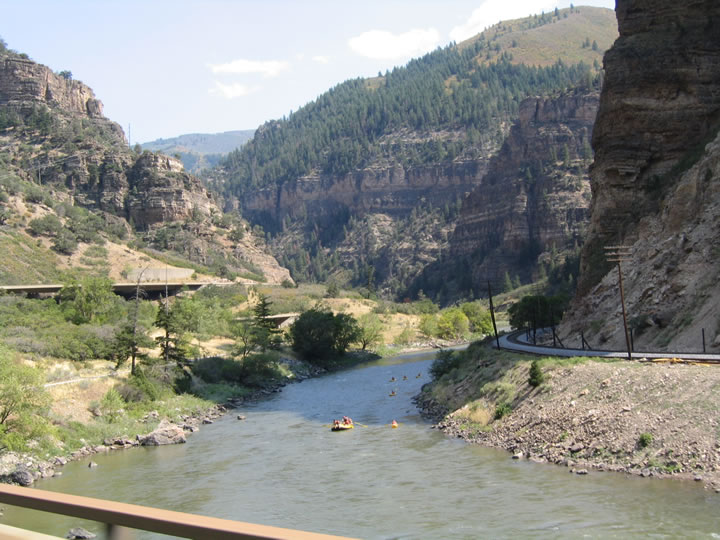
| It is common to see rafters and canoeists along the Colorado River, especially in Summer. 08/30/04 |
|
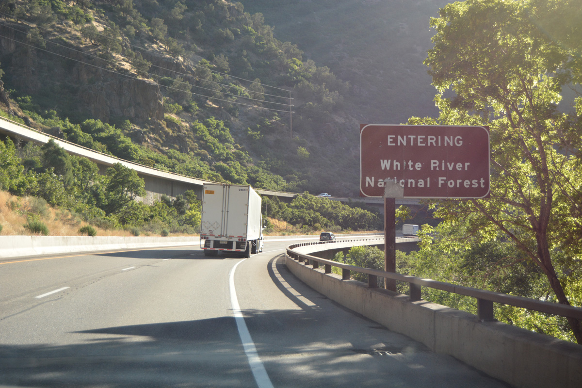
| Travelers on I-70/U.S. 6 east formally enter the southeastern corner of White River National Forest ahead of Exit 119. 08/11/16 |
|
| A Union Pacific train heads west in this scene looking south at the north slopes of Lookout Mountain. 08/11/16 |
|
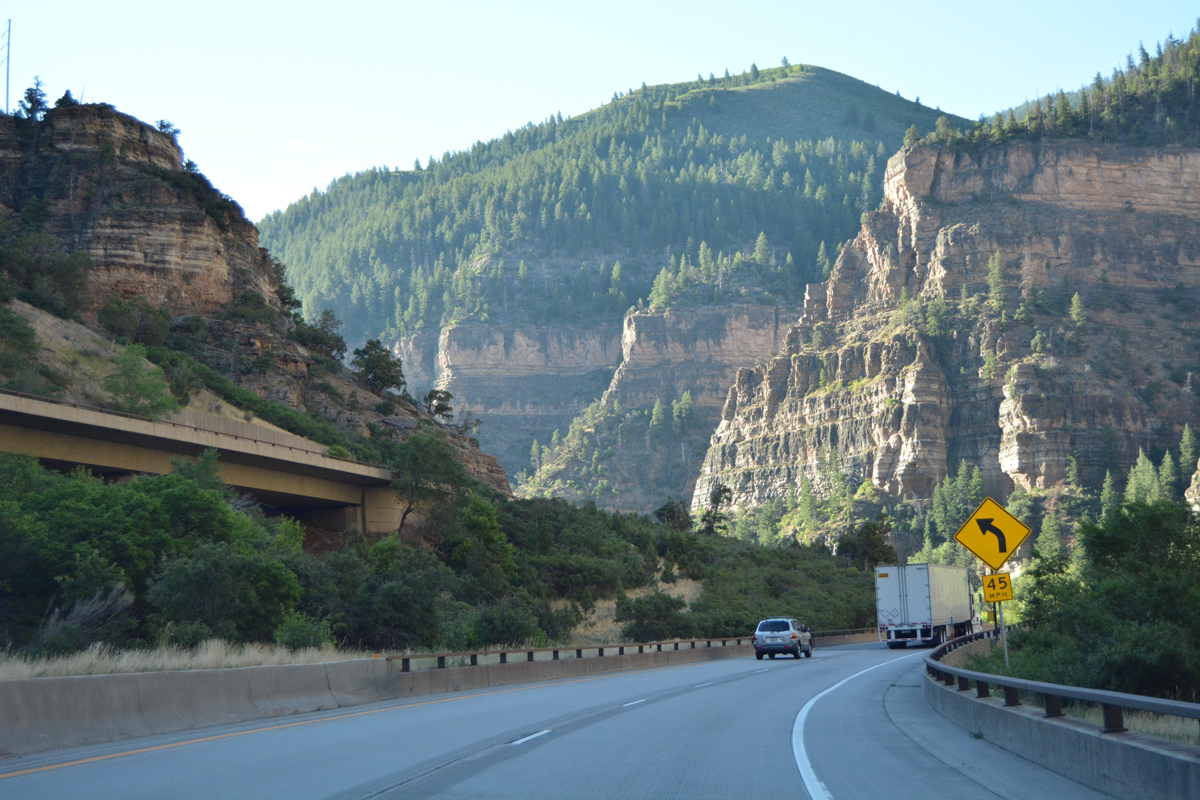
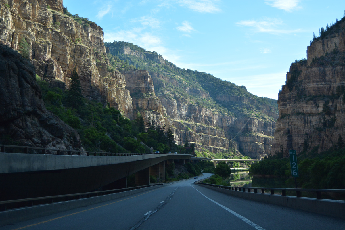
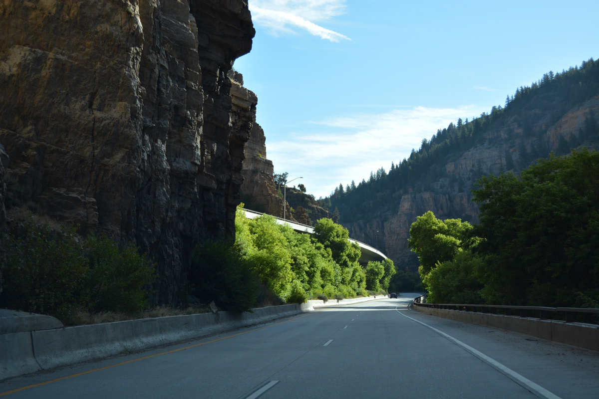
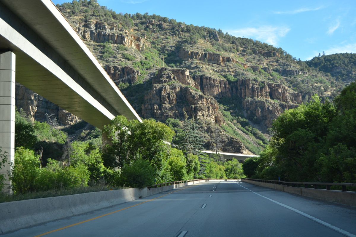
| The westbound lanes travel at a higher grade than the eastbound lanes, which is a prevailing theme in Glenwood Canyon. An engineering marvel, the use of a bridge span for the westbound lanes in environmentally sensitive terrain made this freeway very difficult to construct. 08/11/16 |
|
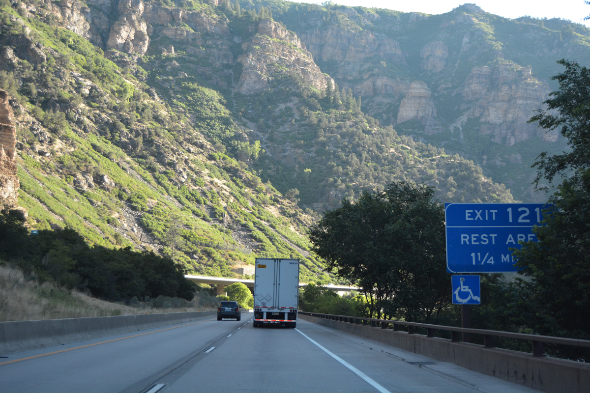
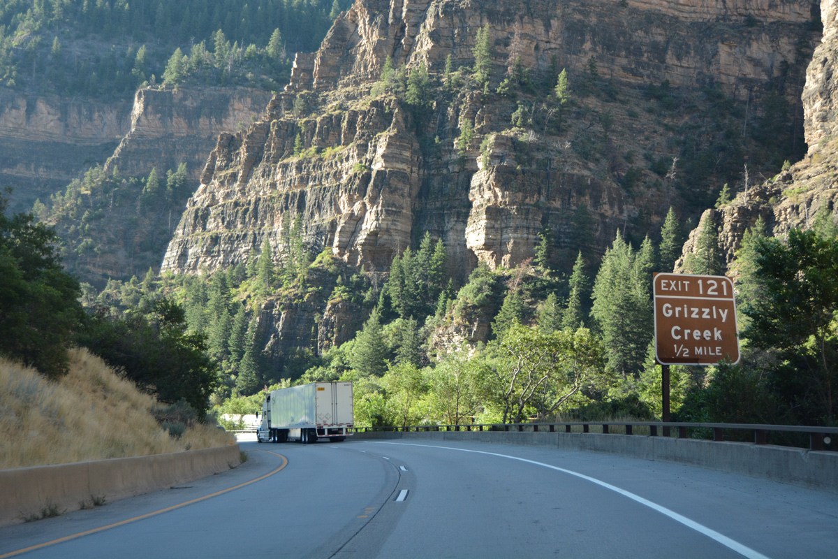
| One half mile ahead of the split diamond interchange (Exit 121) for Grizzly Creek on I-70 east. 08/11/16 |
|
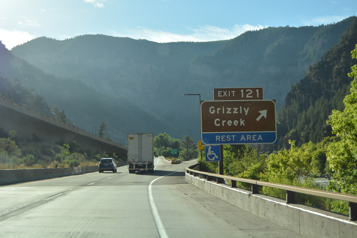
| Exit 121 lowers to the Grizzly Creek Rest Area and trail head. Grizzly Creek flows south from Quartzite Ridge into the Colorado River nearby. 08/11/16 |
|
| A U-turn ramp provides access to I-70 west back to Glenwood Springs while the CDOT maintained rest area lines a frontage road (old U.S. 6) ahead. 08/11/16 |
|
| Continuing east from Grizzly Creek, I-70/U.S. 6 are located just below 6,000 feet above sea level. 08/11/16 |
|
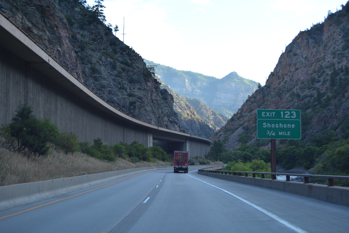
| The next exit along eastbound I-70/U.S. 6 is Shoshone in 0.75 miles. 08/11/16 |
|
| Interstate 70 passes north of Deadmans Gulch at the forthcoming off-ramp to Shoshone. 08/11/16 |
|
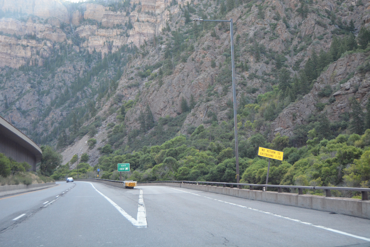
| Exit 123 serves the Shoshone Powerplant and otherwise consists of a U-turn ramp back to I-70 west. 08/11/16 |
|
| Passing by the UP Railroad siding of Higby, I-70 make an S-curve north to milepost 123 and Blue Gulch. 08/11/16 |
|
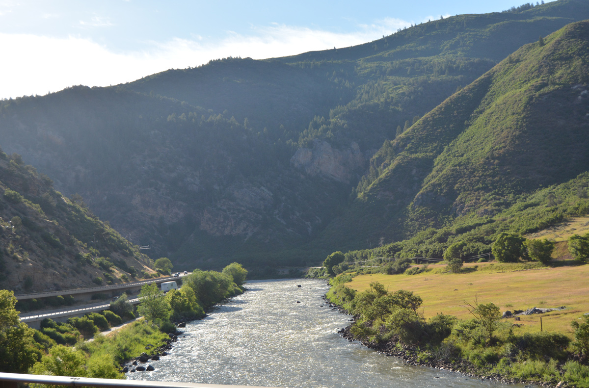
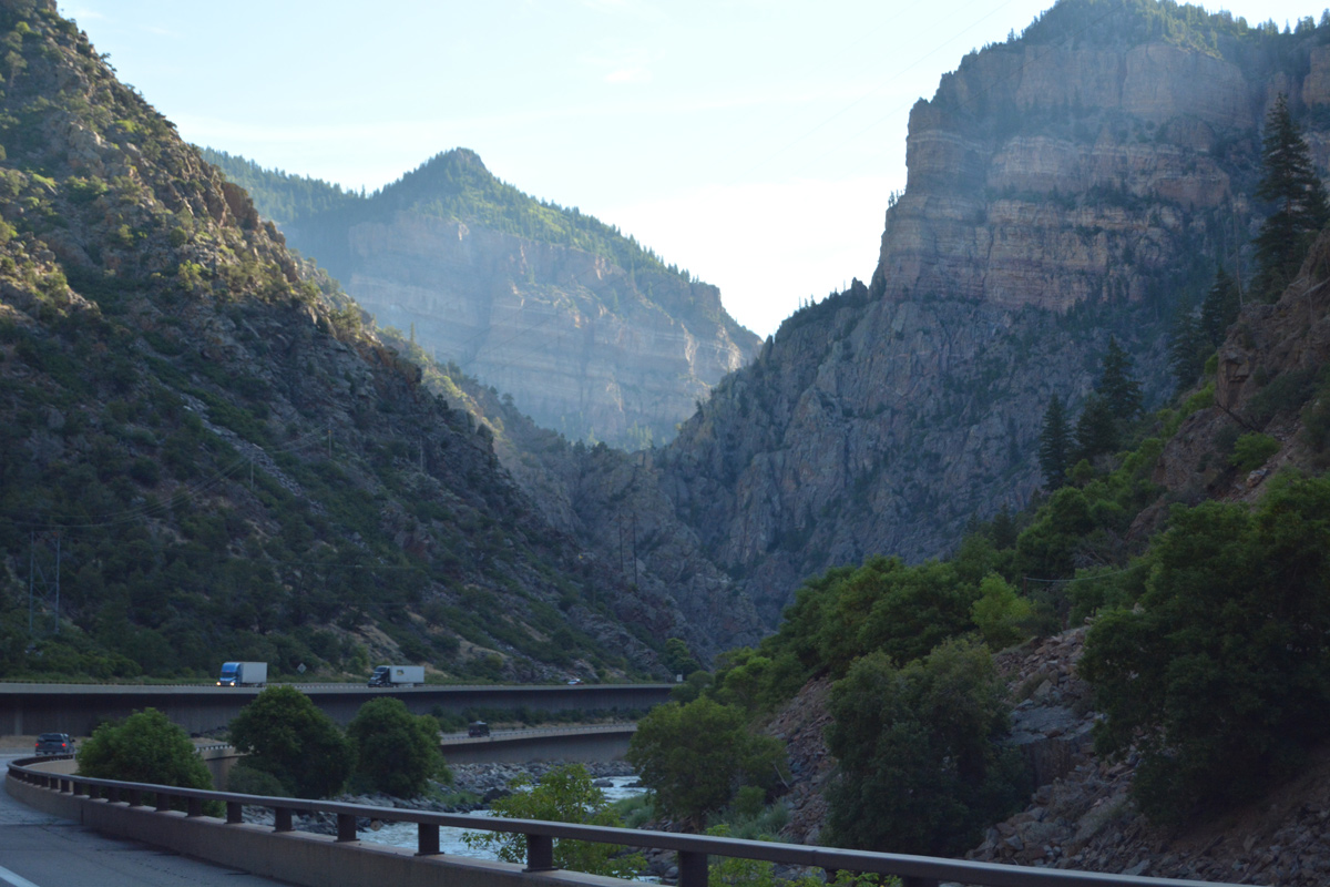
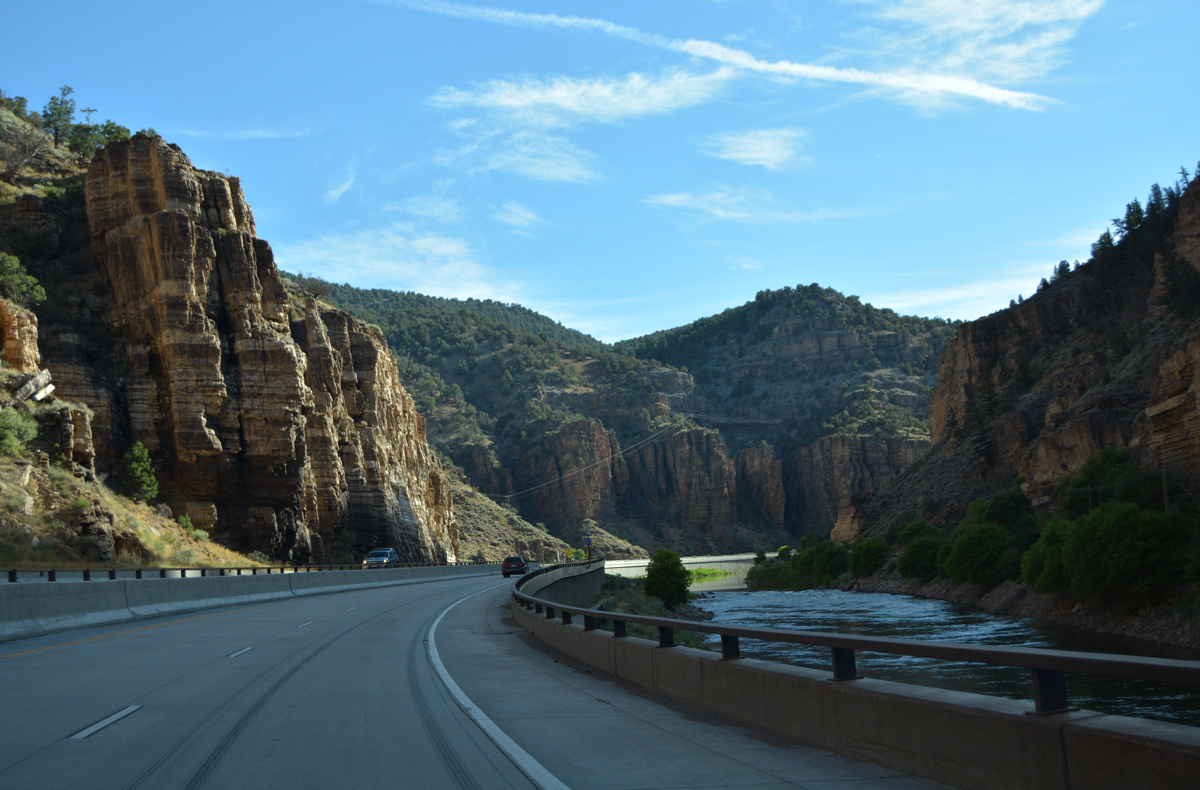
| The Colorado River comes into view again in this scene ahead of Devils Hole Canyon. I-70 parallels the river to Exit 133 at Dotsero. The Colorado drains most of the Southwestern States. The river originates in Rocky Mountain National Park, and it flows southwest through the Centennial State through Granby, Hot Sulfur Springs, Kremmling, McCoy and Burns before reaching Glenwood Canyon. 08/11/16 |
|
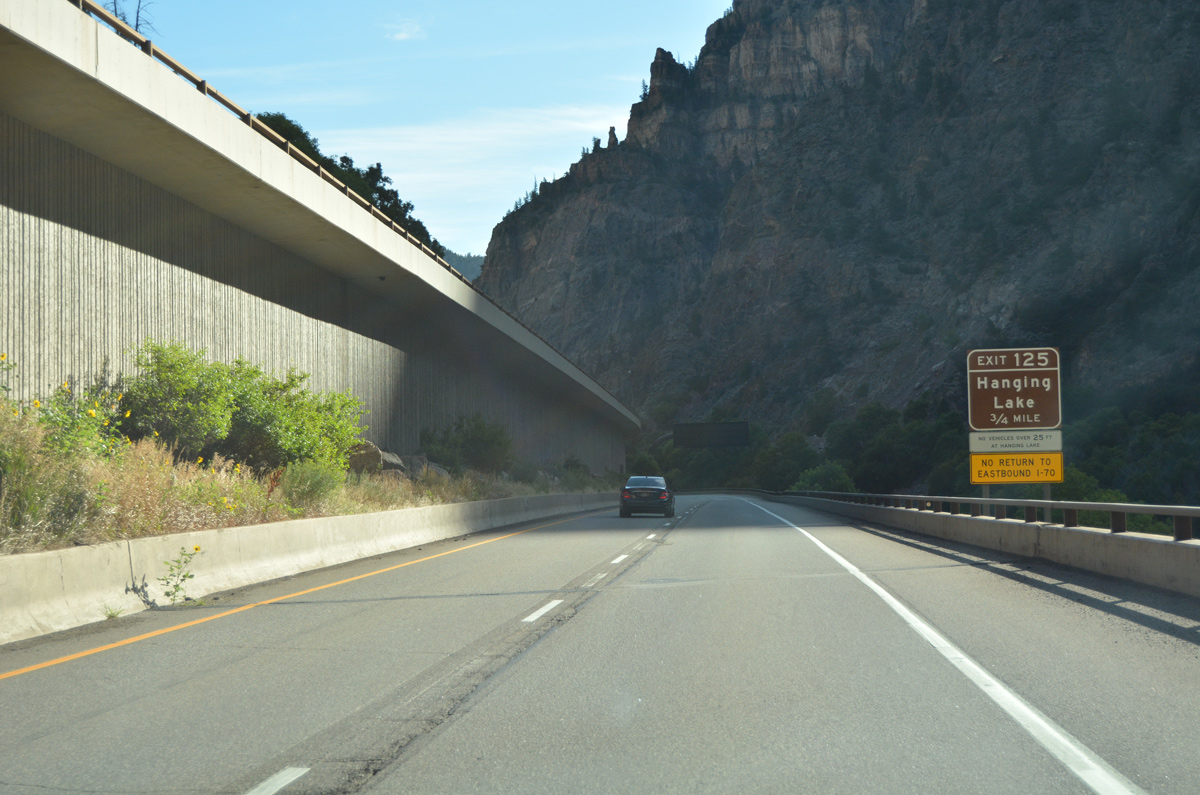
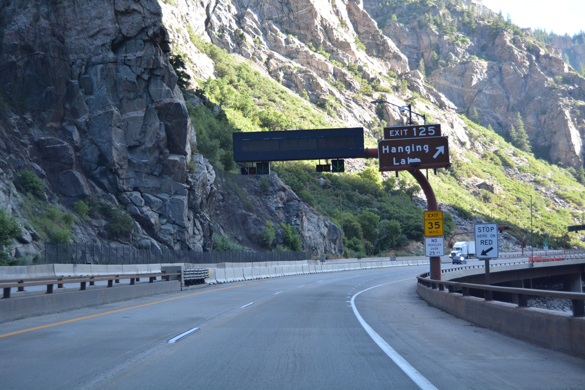
| A wye interchange (Exit 125) lies one half mile north of Devils Hole Canyon for Hanging Lake. 08/11/16 |
|
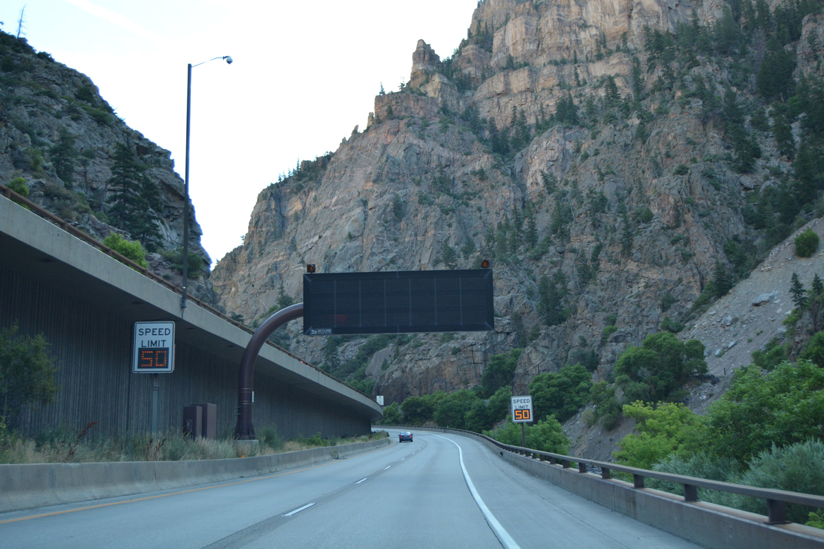
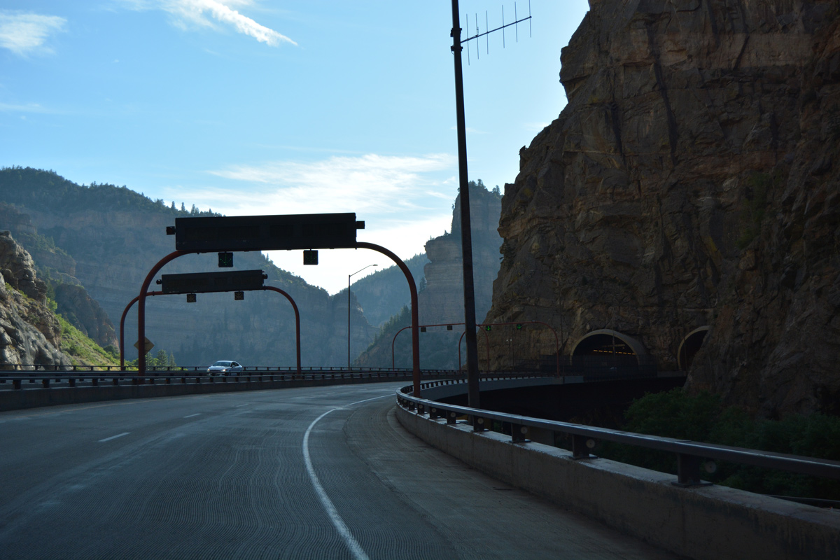
| Variable speed limits are implemented along Interstate 70 east for the upcoming Hanging Lake Tunnel. Several dynamic message boards also advise motorists of travel conditions or restrictions. 08/11/16 |
|
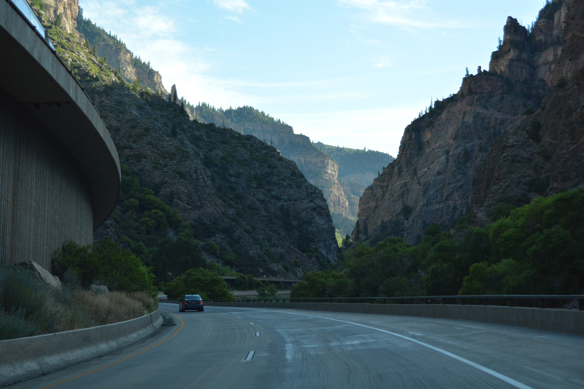
| Exit 125 drops from the I-70/U.S. 6 viaduct to the frontage road leading to the Hanging Lake trail head and parking area. A beautiful hike follows Dead Horse Creek north to Hanging Lake and Bridal Veil Falls. 08/11/16 |
|
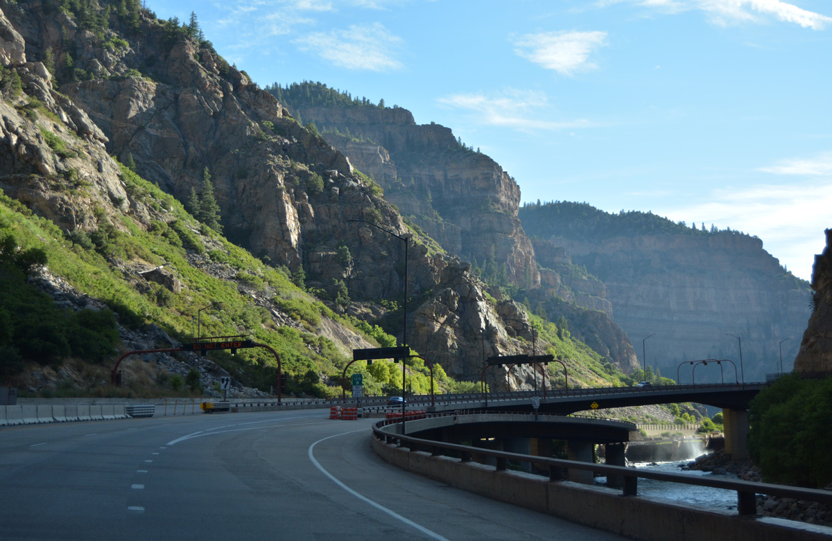
| Shoshone Dam appears beyond the Colorado River bridges taking Interstate 70 east into Hanging Lake Tunnel. 08/11/16 |
|
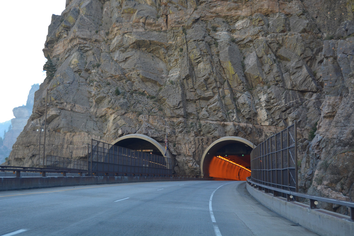
| The second tunnel along eastbound Interstate 70 in Glenwood Canyon is located immediately after the Hanging Lake interchange. 08/11/16 |
|
| The Hanging Lake Tunnels are 3,900 feet long.2 08/11/16 |
|
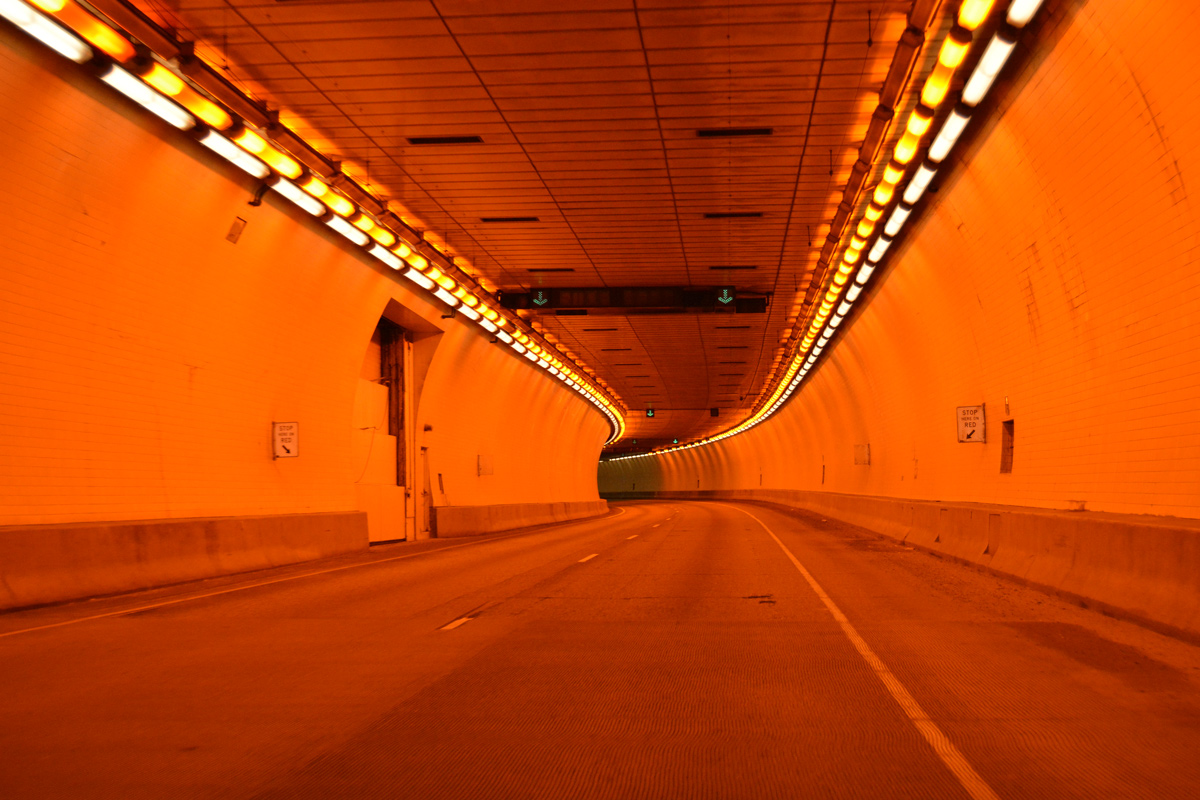
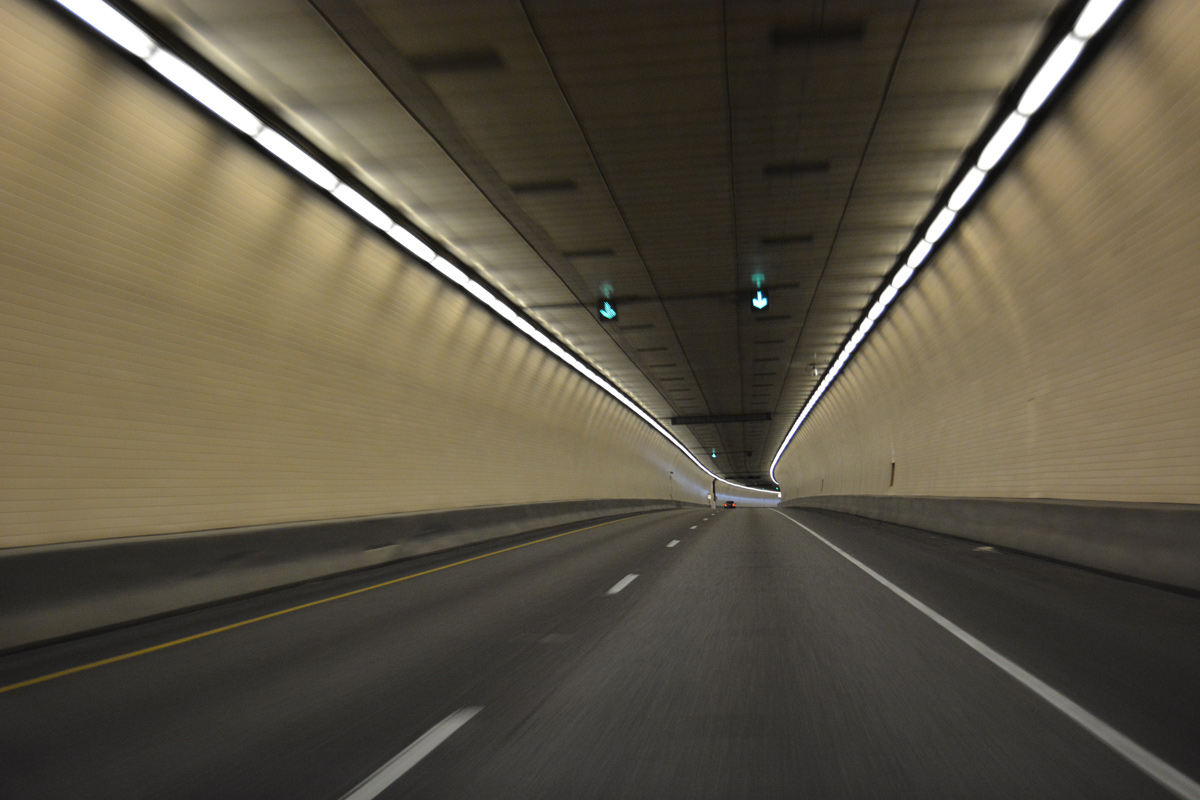
| A control center located midway between the two portals allows CDOT to monitor travel conditions and implement speed limit reductions or close lanes as needed. Lane control signs and dynamic signs appear at regular intervals through the tunnel.2 08/11/16 |
|
| Exiting the Hanging Lake Tunnel, I-70/U.S. 6 again span the Colorado River and return over the north banks. 08/11/16 |
|
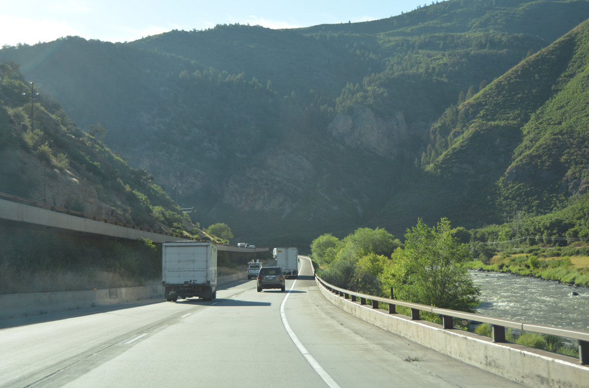
| The eastbound lanes run on the Glenwood Canyon floor, closer to the Colorado River while the westbound lanes stay elevated on viaduct. 08/11/16 |
|
| The Reverse Curve Tunnel portal appears above the eastbound roadway. The westbound bore is located near milepost 127.2 08/11/16, 08/30/04 |
|
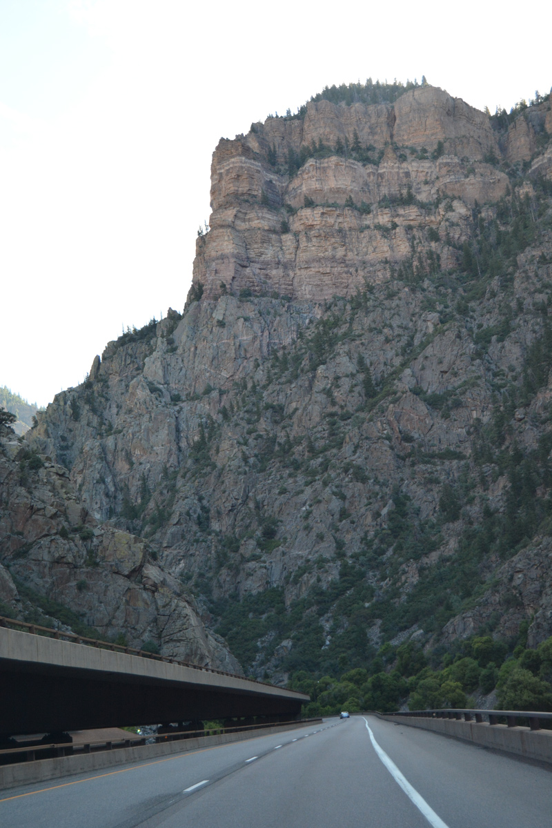
| Interstate 70 east circumvents the rock outcrop on a viaduct hugging the Colorado River. The Reverse Curve Tunnel is named for the double curve made by the Colorado River at this location.2 08/11/16 |
|
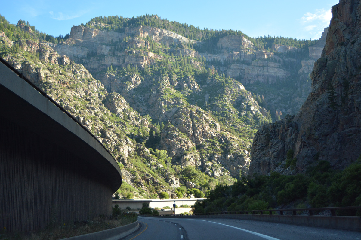
| The freeway winds northeast from the Reverse Curve Tunnel to cross French Creek. 08/11/16 |
|
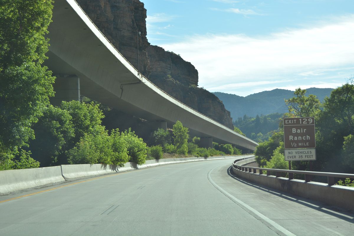
| A diamond interchange (Exit 129) lies one mile ahead for Bair Ranch. 08/11/16 |
|
| A CDOT maintained rest area is located on the north banks of the Colorado River at Exit 119. 08/11/16 |
|
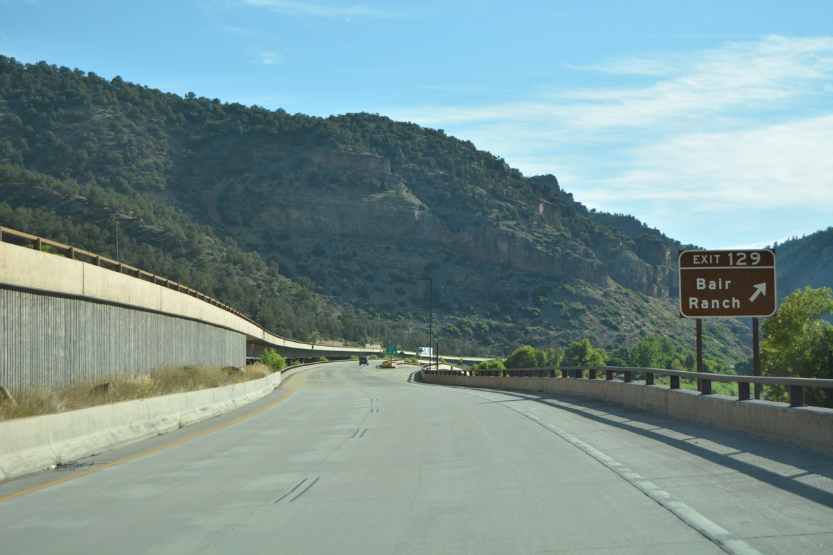
| Interstate 70 leaves White River National Forest as Exit 129 departs for Bair Ranch and a private road across the Colorado River. 08/11/16 |
|
| This reassurance marker for I-70 was posted after Bair Ranch. It was missing by 2015. 08/30/04 |
|
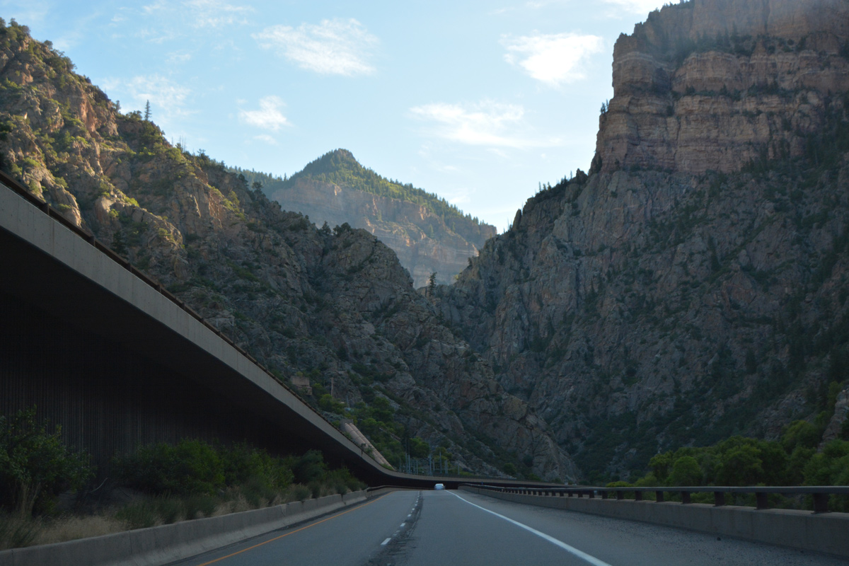
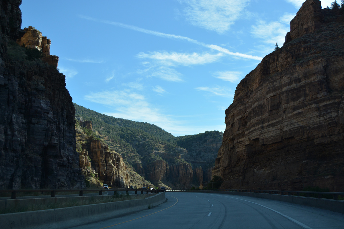
| Interstate 70, U.S. 6 and the Union Pacific Railroad squeeze through a narrow portion of Glenwood Canyon east of Tie Gulch at milepost 129. 08/11/16 |
|
| A series of S-curves take Interstate 70 to the south of Burnt Tree Ridge to milepost 130. 08/11/16 |
|
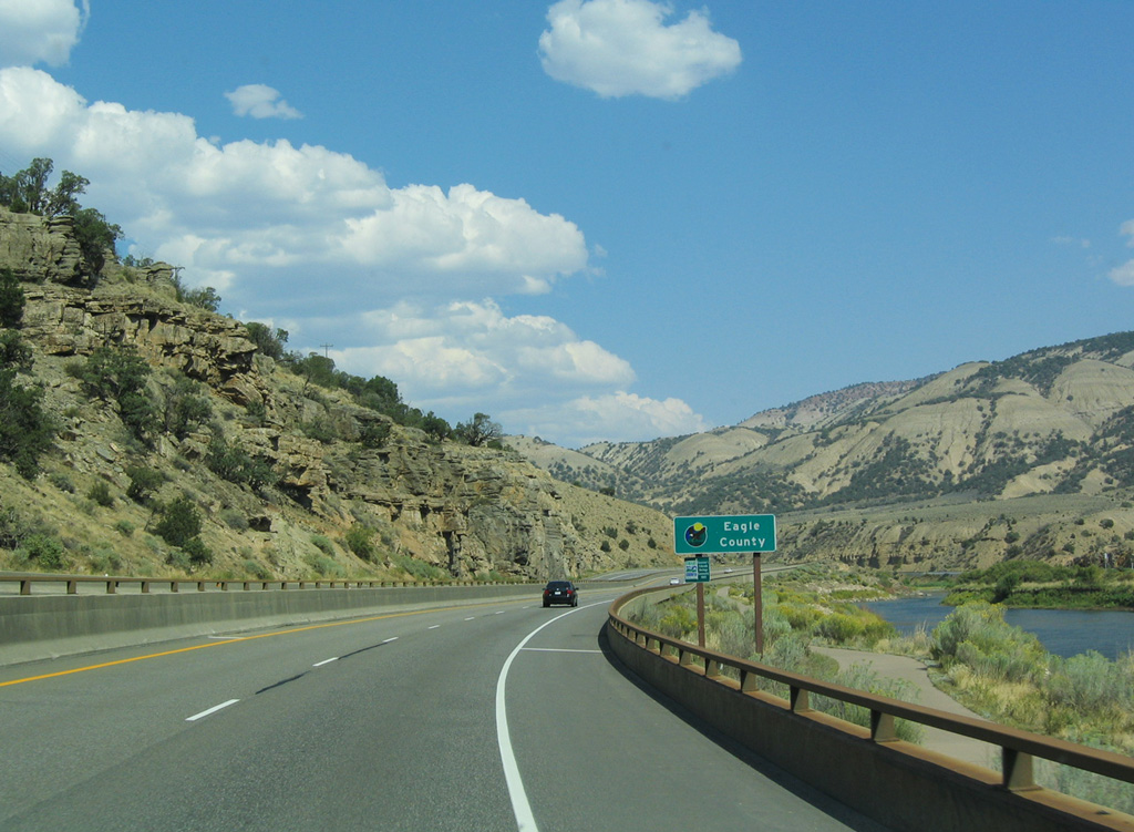
| The trip through Glenwood Canyon along I-70/U.S. 6 east concludes as the freeway enters a broad valley in western Eagle County. The county line sign pictured here was no longer posted as of 2015. 08/30/04 |
Page Updated 03-28-2017.


 East
East